


![Route map: Kleiner Nock [hillock]](https://peakvisor.com/tiles/styles/peaksummer-jpg/static/auto/600x180@2x.webp?path=enc:eel}Ge}sgA`AQMHGLAf@Bf@Hr@Nr@Jh@RJZHHZNr@K\[NSDWFOKANBVUKQGOAQEOIQCIFMTOPON@XHXF^H^Hd@D`@Dd@Bb@D^H\D^@b@Cf@Q\YXOZKd@SFSEIJEP@VORSBOJODMJCTILUGO?IA@PBVAR?RI@OOKIKMOMQOMIQI]WWQKDATGCO_@O]MQMQSGO?IJM@KKKUQQUCOF@RBRKNGPA\B`@DVEVQCQIKe@EWI_@IYKUWOSW[WQWOUOS[We@WWEg@Oe@Y]SUMMK&padding=0.12&stroke=brown&width=4)


![Route map: Daimerweg [trail] – Kellerbauerweg [trail] – Gorner Joch [yoke] – Weißenbach](https://peakvisor.com/tiles/styles/peaksummer-jpg/static/auto/600x180@2x.webp?path=enc:ydl}Gk}sgA`@E`@hFbAvAxAgAzD_CdBKhCpCExCbBfI|ApDl@xGtBpIP_FbB_FzAd@nEFv@cA[sBbBqFhABvC`Gj@gBz@@IjKbBMbAyCt@fFCbHLvGwAvDcBhLkAxHuBfGkAvL`BvQwDtAkBlFGlHdAnS`JxU|CtGqAlD`@tHbB~IpAdDl@xDHrEoBvAeBdAmAtC_B`@s@pDsAfFClHX|H@vD}CDq@nGnBnH|@~GnAlHCjGbA|E~AjBLfGa@rG~A`FcB`G|CrF[hGwItAkIgCg@rAr@NC|@mB\MZcCIqA}CaAEy@^[mAUaDeAiFuAyAg@rAcABu@PyAAeBnAmBWq@CsGwEiHs@yKaB_F{CK`DzAn@_@pBdAVo@dBGJ^gAm@aAZwBwBgD{D{GeHuFmC}AoDeAgEgDToCmDsCuDiDyFiCoBgE}BuHu@gJk@uICgEAmEE}ESiIWsBc@~B_@~Dq@`GeA|H[zC}@hFqApDE}FTgIMqFe@rAoBnI}@bA_Al@}@zDoCxEcAiAuBw@&padding=0.12&stroke=brown&width=4)
![Route map: Daimerweg [trail] – Kellerbauerweg [trail] – Nevesjoch / Chemnitzerhütte [alpine hut]](https://peakvisor.com/tiles/styles/peaksummer-jpg/static/auto/600x180@2x.webp?path=enc:{dl}Gi}sgAb@G`@hFrApB~BkDjFaAxCvFjBfNzB`HjAbHx@t@vAiKzAd@nEFv@cA^uEpBkC|C|G`BaCIjKzCcD`AbFCbHLvGwBpNoChLaDhKOzL[pOuDbGAhOdJ~^vErJc@nD]nDxAhMzBdH`AdGuBfCuBfBmAtC_B`@s@pDmAfHd@tQkC`C_BjCrBfJl@tHbBtJCjGbA|EpBdCAlIz@tKcB`G|CrFKxI{FbV]dJuE|EwIk@i@rI{C`HcEAeCn@]b@o@aAeDeDyEgBmC~A{BhHwDlCmGeEiGKgEfD}DkByFyGu@bC{B~H_BpIsBrDkDfHyCpDgAbBeH_LsDiAeBcCy@gHiA{BmKoGwCQc@hIcBdEgCjBwApC{D_ByGcAcCxDL|HuAx@{D?mCdMaCpFyCDgHqY{A`@iC|MJlDcBxPWdDoFdL_AxHSfHyB`K{@~HwAtEiAjCZhAVfKrBnQNrQ^hUDdLa@vAYhB]JAbApBvAbDxEfCbGX~BSrAE~FrAtA`Bf@_AnBf@lB_ApB}@n@j@pFbBfDhAxBdF}D&padding=0.12&stroke=brown&width=4)




![Route map: Descent to Luttach via Schöllberg Alm [alpine hut]](https://peakvisor.com/tiles/styles/peaksummer-jpg/static/auto/600x180@2x.webp?path=enc:cel}Ge}sgAf@oCyBmBwAIKnDy@f@iA\}APmDaAgBiAyAYcCwA{@uAkBqBmCwCiAoBaBcBoB}CaAiEuB}BgBBwBbAiApAs@j@s@n@_AdBu@fAq@x@m@jAkAz@q@vBgAt@mAzAuAXuAq@_DeBcCC{APmAn@_AhCi@dA_@hAk@zBT|Aj@dB@rAW|@StALnBT~BNpB]kAo@sBy@_Dy@qB}@aDeAmDIwB]Fc@`C\nDVtBTpCd@~CWrCOrBZnEFpA{@gCu@oBWwB[wCa@cB{@}@oAo@kA_@kA_@}@_@cB_AS^v@dAr@lBHzB@tCKzAk@i@qAkC_@cCeAaAmAu@oAQe@m@VwAbAuBfA}D^wBr@_D`@qDp@cCd@mBf@wA~@wAlA_Bh@uAn@mAdB}B`A}BtAaCr@eB~@iBZwArAyAO_@gBp@_BnBwAhB{BxBoB`B_Cz@oAn@eBv@_BF{C|AcBjBk@zAg@~@cAb@uA`DoBh@_A|@}@H{@GsAp@{Bl@_@SjAmCx@kB\kAiE[uAdAeAn@g@tB_@~BAfB`@|CO|CMyAi@aC}@sBQkD?aEb@iCdAwEn@mDDwATyCfAoG|BkEhAwDzCmE?aEFkE`@gFfAwDdAaD&padding=0.12&stroke=brown&width=4)

![Route map: Daimerweg [trail] – Kellerbauerweg [trail] – Mühlwalder Jöchl [yoke] – Mitterberg Alm [alpine hut] – Weißenbach](https://peakvisor.com/tiles/styles/peaksummer-jpg/static/auto/600x180@2x.webp?path=enc:ydl}Gk}sgA`@E`@hF|@j@d@`Ax@}ArBgBjCc@zA^pA~CGjBz@dEXlB\`Bl@dAv@pARn@DlCRjC|AlF\u@ImCJwDlB}@bA^fB^tBw@d@aAb@wD~@}CnBpAz@xCb@bAh@iCv@FUdHdAzFd@sCp@sC^Gj@hESpADfHXhCs@zDu@tC_@dGeAhDy@`FuBfGm@hD[pHtAbJ^xDoCxA_BxBwAjELfDCdGg@nBaA`AcBw@[n@_Ad@g@Nm@TBrAgBYk@Gs@h@gABOhAWVmAm@cCJcCm@cGyAuDt@cBBeAX}@WcBDqBZiBnCeABe@\@`AElAQpAd@x@j@x@Fd@Qr@iAjA_Ap@QrAqAd@aB~As@nAaBtAaApBcBjAmAnCaC`@aA@aBnA_AZoAlAu@x@eA`AsAh@}ApB]hAeBvAoCbCwAjA_Cf@_Ct@gAX_@\_BXeAa@yBYsAGc@Ck@@g@LqB{Ai@Pk@l@g@f@g@T}@oB]OQa@a@CwAkBImAyB}Cq@kA_@k@Im@eBgBuA}@wC{Ae@f@c@k@o@eA&padding=0.12&stroke=brown&width=4)







Curated by Tauferer Ahrntal
Valle Aurina/Ahrntal
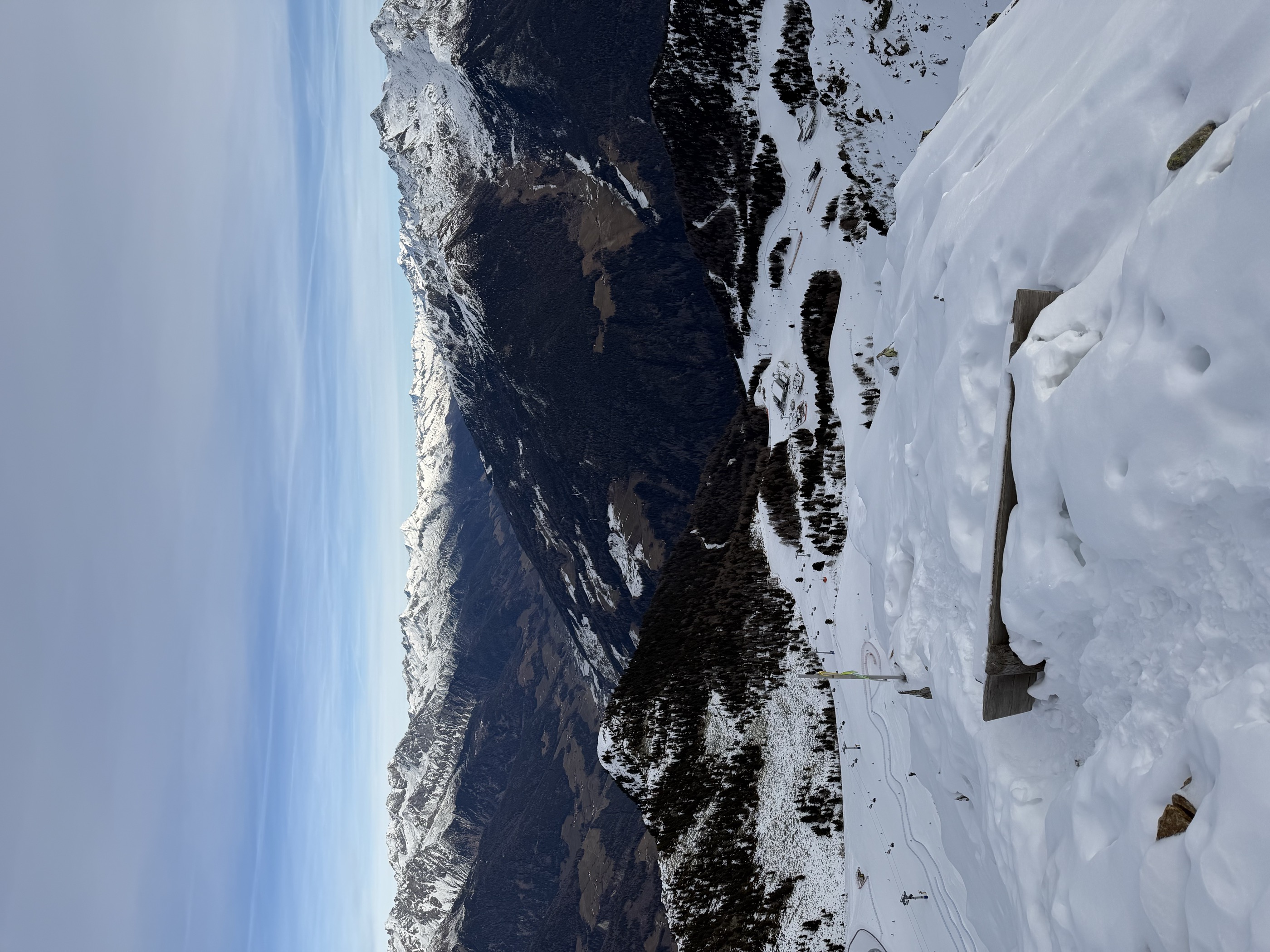
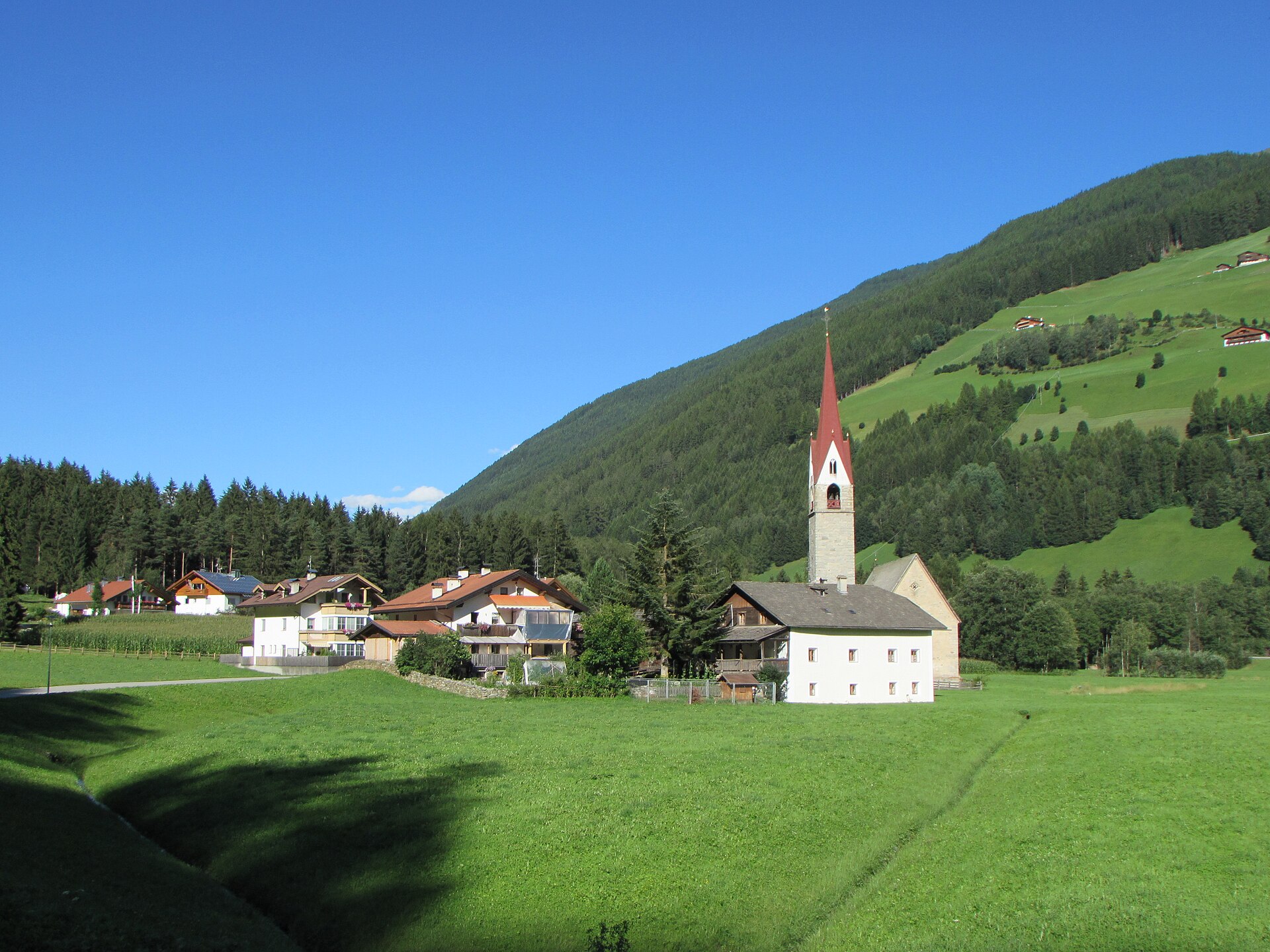
The upper Aurina valley of Lutago, Cadipietra and Casere, under the glaciated Zillertal crest on the Austrian border.
Photo: Pmk58 · CC BY-SA 4.0 licence
- 10Highlights
- 66Routes
- Featured summit · Speikboden - Monte Spico
Highlights
5 from neighbouring places
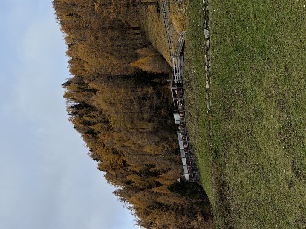
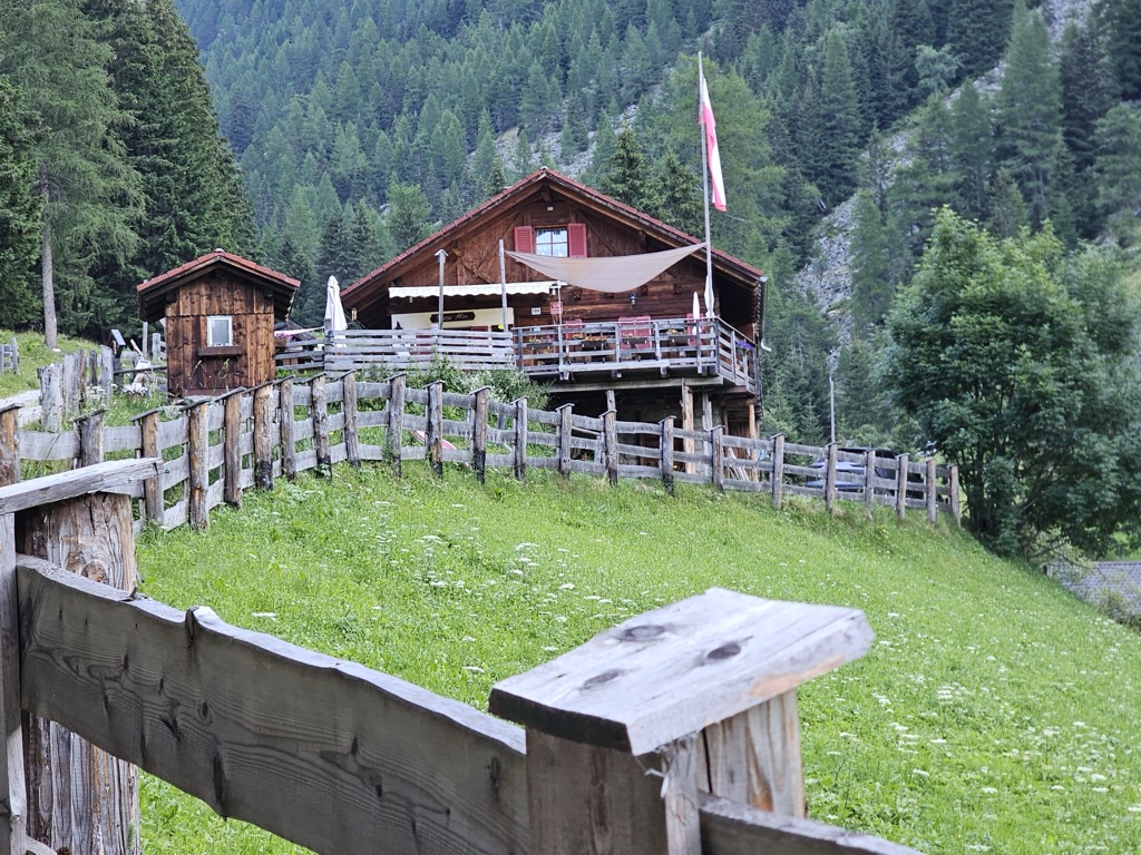
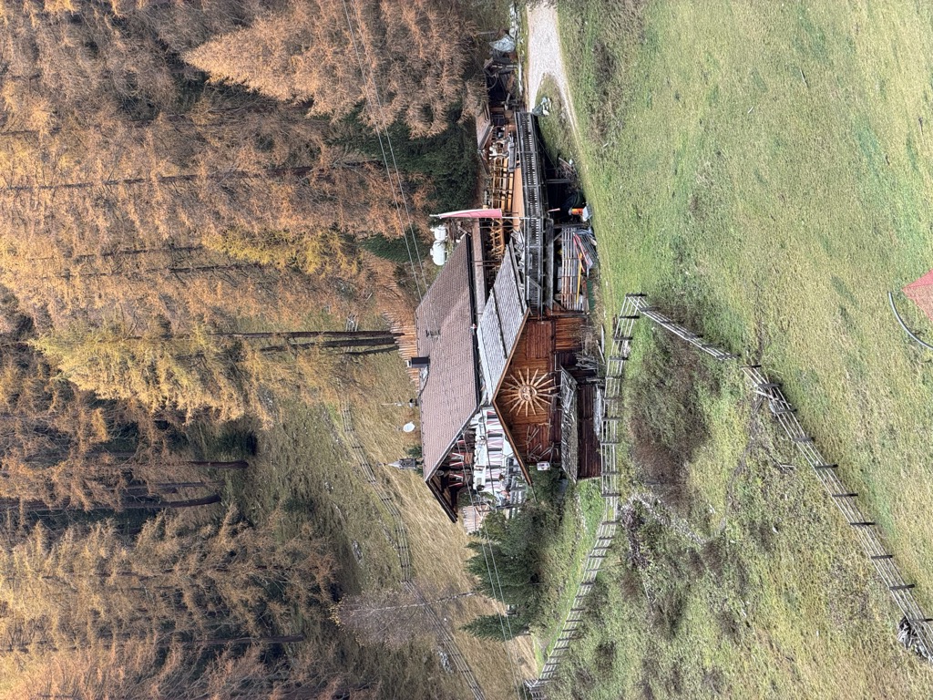
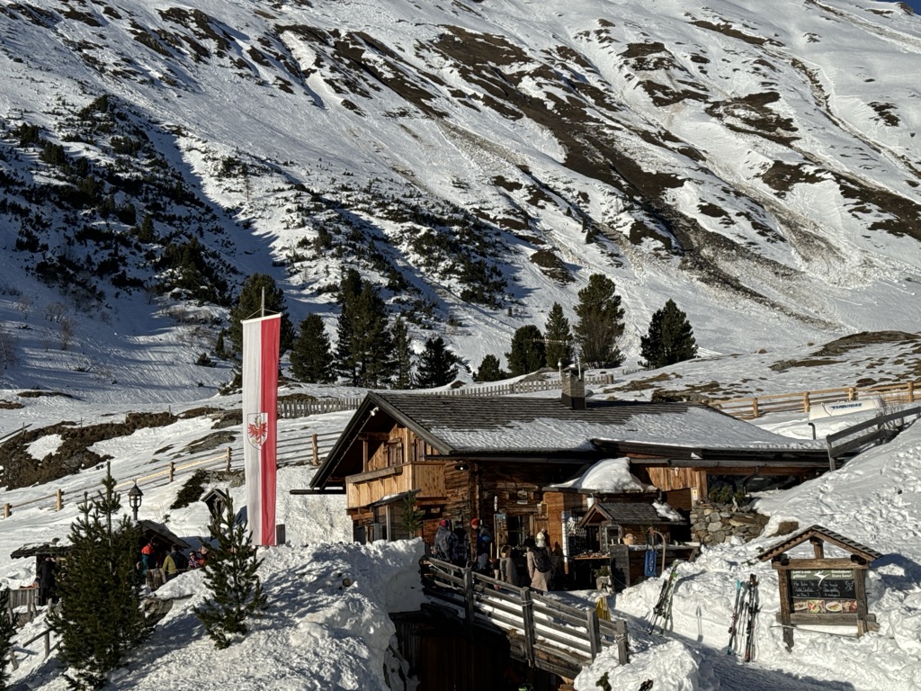
Baurschaftalm malga
A dairy hut on the Baurschaft pastures of the Valle Aurina, on the slopes that rise from the Ahr valley floor into the Zillertal Alps.
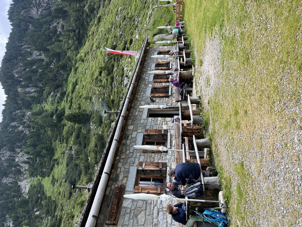
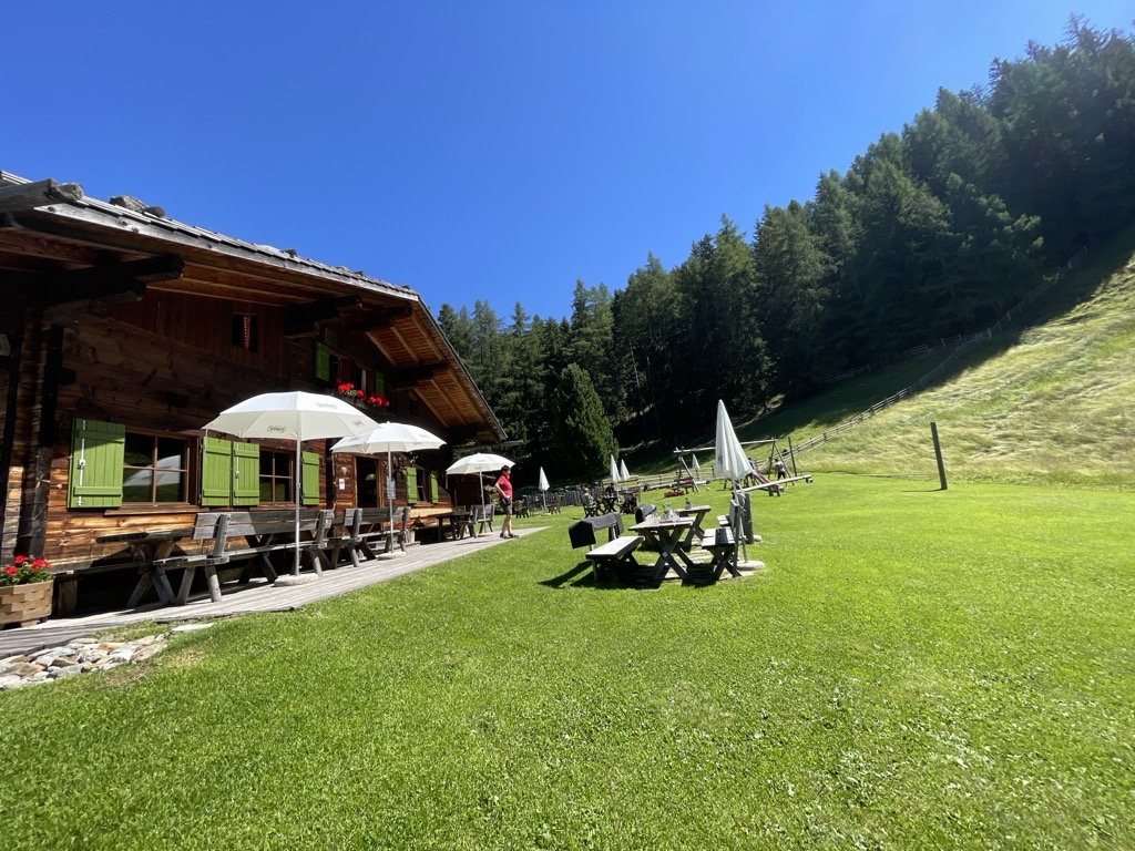
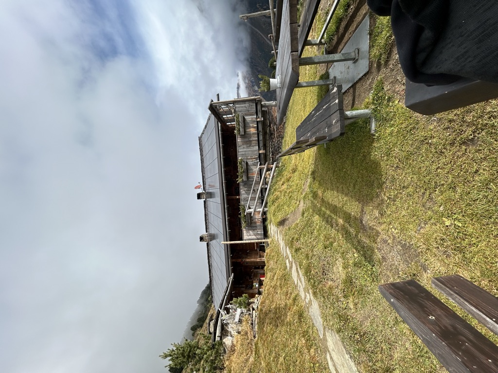
Sterzing, Pfitsch und FreienfeldDaimer Hütte malga
A small pasture hut in the Valle Aurina, on the mown slopes above the Ahr valley in the Zillertal Alps.
Sterzing, Pfitsch und FreienfeldHolzerböden malga
A dairy hut on the Holzerboeden pastures of the Valle Aurina, reached by forest track from the valley floor.
Sterzing, Pfitsch und FreienfeldInnerhofer Alm malga
A farm-run dairy hut on the pastures of the Valle Aurina, on the sunny side of the Ahr valley below the Zillertal ridges.
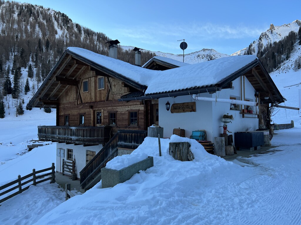
Sterzing, Pfitsch und FreienfeldMarxeggeralm malga
A dairy hut on the Marxegg pastures of the Valle Aurina, on the wooded slopes above the Ahr valley.
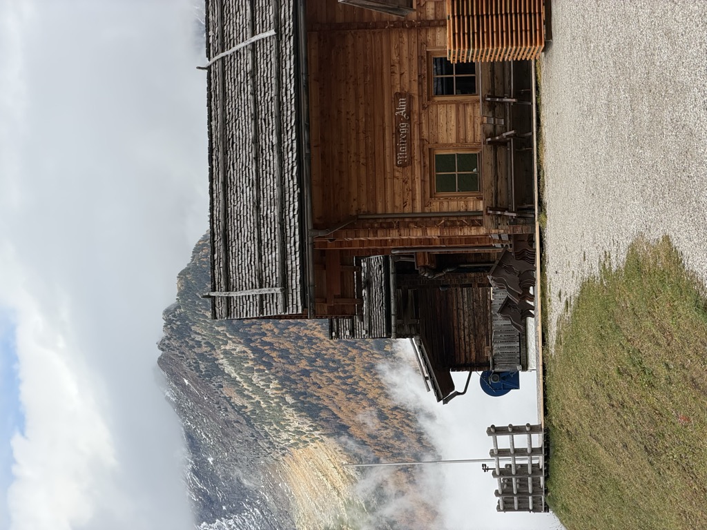
Sterzing, Pfitsch und FreienfeldMoaregg Alm
A dairy hut on the Moaregg pastures of the Valle Aurina, on the terraces between the valley farms and the high Zillertal pastures.
Sterzing, Pfitsch und FreienfeldNiederhofer Alm malga
A farm dairy hut on the pastures of the Valle Aurina, above the string of hamlets along the Ahr valley floor.
Sterzing, Pfitsch und FreienfeldRiesa Alm malga
A dairy hut on the pastures of the Valle Aurina, on the slopes above the Ahr valley in the Zillertal Alps.
Speck-& Schnapsalm malga
A small alm in the Valle Aurina named for the speck and schnapps it serves, on the pasture slopes above the Ahr valley.
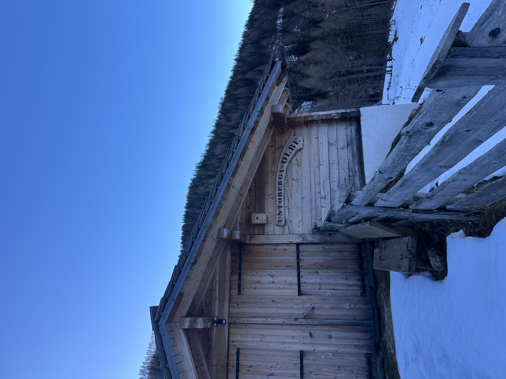
Sterzing, Pfitsch und FreienfeldUnterberger Alm-Untoberga Olbe malga
A dairy hut on the Unterberg pastures of the Valle Aurina, known by its Ladin-tinged local name as well as its German one.
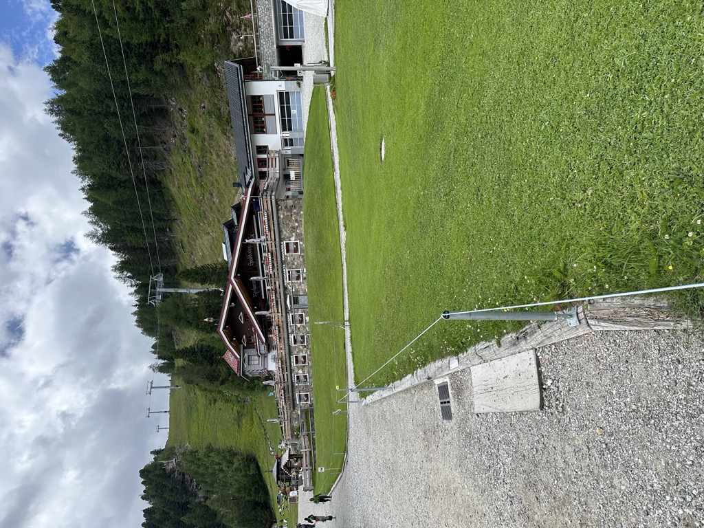
Sterzing, Pfitsch und FreienfeldRistoranti Speikboden
7.5 km away, in Campo Tures/Sand in Taufers
The mountain restaurants at Speikboden above Campo Tures, reached by cable car, at the start of the walks towards the Sonklarspitz ridge.
Malga Durra
10.5 km away, in Campo Tures/Sand in Taufers
A dairy hut on the pastures above Campo Tures, in the mountains of the Valle Aurina.
Malga Knutten Alm
11.8 km away, in Campo Tures/Sand in Taufers
A dairy hut in the Valle dei Dossi above Riva di Tures, reached by the valley track, with the Vedrette di Ries beyond.
Malga Bergmeisteralm
14.3 km away, in Selva dei Molini/Mühlwald
A dairy hut on the pastures above Selva dei Molini, in a side valley of the Valle Aurina.
Sterzing, Pfitsch und FreienfeldMalga Mair am Tinkhof
14.3 km away, in Selva dei Molini/Mühlwald
A working dairy on the slopes above Selva dei Molini, reached by a track from the valley road.
Nothing of this kind in Valle Aurina/Ahrntal.
Routes
50 routes, an even mix of activities · see the rest on ahrntal.com ↗
Via Ferrata Avventura in Natura
A grade B adventure route at Speikboden with rope and plank bridges and a summit cross, looking down the length of the Ahrntal.
- 1.0 km
- Distance
- 328 m
- Ascent
- 1 h 25 min
- Duration
- 14
- Check-ins
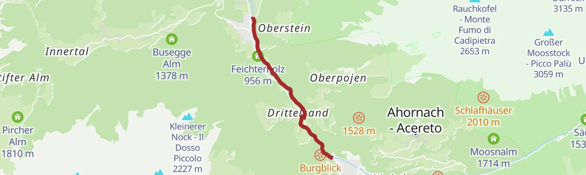
Open route Sand in TaufersHike to Steinhaus
A mostly downhill walk of an hour or two through the Aurina valley to the old mining village of Steinhaus.
- 6.3 km
- Distance
- 51 m
- Ascent
- 2 h 6 min
- Duration
- 58
- Check-ins
 Kristallalm 1 590 m
- Moaregg Alm 1 606 m
- Almboden 1 555 m
- Talstube 1 049 m
- Ski Haus Pub Steinhaus 1 050 m
Open route Tauferer AhrntalHiking tour to lake Klaussee
A climb to the Klaussee at 2,162 metres, the best known of the mountain lakes in the Durreck group above the Ahrntal.
- 6.2 km
- Distance
- 570 m
- Ascent
- 3 h 34 min
- Duration
- 75
- Check-ins
- Kristallalm 1 590 m
- Moaregg Alm 1 606 m
 Klaussee - Lago Chiusetta 2 165 m
- Bauerschaftsalm 1 885 m
- Speck & Schnapsalm 1 746 m
- Bachmair 1 901 m
Open route Tauferer AhrntalHigh Altitude Trail Kellerbauer
A high traverse between the Selva dei Molini and Rio Bianco valleys, linking the Sonnklar hut with the Chemnitzer Hütte; exposed and needing sure footing.
- 21.2 km
- Distance
- 505 m
- Ascent
- 7 h 10 min
- Duration
- 122
- Check-ins
 Zinsnock 2 435 m
- Fadner - Gallina 2 457 m
- Stoßkofel 2 474 m
- Wurmtaler Spitz - Giogo del Corno 2 343 m
- Sonnklarhütte 2 384 m
- Chemnitzer Hütte - Rifugio Porro 2 420 m
- +14
Open route Tauferer AhrntalSki Tour Schaufler 2,265 m
A straightforward ski tour on south-east slopes above the Ahrntal to the Schaufler at 2,265 metres, about three hours of climbing.
- 5.6 km
- Distance
- 826 m
- Ascent
- 0 m
- Descent
- 2 h 27 min
- Duration
Open route Tauferer AhrntalSki Tour Speikboden 2,517 m
A ski tour to the Speikboden at 2,517 metres above the Ahrntal, roughly five hours of climbing, with a wide outlook from the top.
- 6.5 km
- Distance
- 1 151 m
- Ascent
- 10 m
- Descent
- 3 h 16 min
- Duration
- 48
- Check-ins
Open route Tauferer AhrntalMountainbiketour to the Schwarzbachalm hut
A brief forest-road warm-up from the Innerbach Hof, climbing through woodland with occasional glimpses of the valley to a hut a little above 1,390 m.
- 1.6 km
- Distance
- 118 m
- Ascent
- 18 min
- Duration
- 6
- Check-ins
Open route Tauferer AhrntalMountainbiketour to the Gögealm hut
A steep forest-road climb above the Ahrntal, rising past the Feichterhof and the Tratter Alm to pasture at just over 2,000 m.
- 5.4 km
- Distance
- 640 m
- Ascent
- 60 min
- Duration
- 28
- Check-ins
- Göge Alm 2 027 m
- Ledohöüsn alm 1 412 m
- Feichterhof 1 387 m
- Tratter Alm 1 853 m
- Schnaidaleachn 1 412 m
Open route Tauferer AhrntalBike route - Sand in Taufers/Campo Tures - St. Peter/S. Pietro
A steady valley climb up the Ahrntal from Campo Tures through Cadipietra to San Pietro, rideable in either direction or in parts.
- 19.8 km
- Distance
- 513 m
- Ascent
- 2 h 4 min
- Duration
- 63
- Check-ins
- Ahrntal Tourismus Information 959 m
- Talstube 1 049 m
- Feichterholz 956 m
- Restaurant Talstation 946 m
- Ski Haus Pub Steinhaus 1 050 m
- Hotel Sonnleiten 1 042 m
- +5
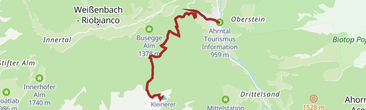
Open route Tauferer AhrntalKleiner Nock [hillock]
A short, steep pull to the Kleiner Nock, one of the knolls on the Speikboden ridge above Campo Tures.
- 1.5 km
- Distance
- 261 m
- Ascent
- 59 min
- Duration
- 49
- Check-ins
Open route Sand in TaufersKlaussee | 2.162 m
Trail 33 from the top of the Klausberg lift past the Speck & Schnapsalm to the Baurschaft refuge and the Klaussee, with the Rauchkofel rising above.
- 3.2 km
- Distance
- 570 m
- Ascent
- 2 h 9 min
- Duration
- 75
- Check-ins
- Kristallalm 1 590 m
- Moaregg Alm 1 606 m
- Klaussee - Lago Chiusetta 2 165 m
- Bauerschaftsalm 1 885 m
- Speck & Schnapsalm 1 746 m
- Bachmair 1 901 m
Open route Tauferer AhrntalAlpine hike Kellerbauerweg
A long high traverse on the Kellerbauerweg to the Tristensee tarn and the Chemnitzer hut at the Neves pass.
- 21.3 km
- Distance
- 889 m
- Ascent
- 8 h 1 min
- Duration
- 115
- Check-ins
- Zinsnock 2 435 m
- Wurmtaler Spitz - Giogo del Corno 2 343 m
- Chemnitzer Hütte - Rifugio Porro 2 420 m
- Bergrestaurant Speikboden 1 973 m
 Nevesjoch - Passo di Neves 2 407 m
- Iglu Après-Ski 1 973 m
- +12
Open route Sand in TaufersSki Tour Gornerberg/Monte Corno (Henne) 2,475 m
A ski tour on north-west slopes above Weißenbach to the Gornerberg at 2,474 metres, about four hours of climbing.
- 5.6 km
- Distance
- 1 093 m
- Ascent
- 0 m
- Descent
- 3 h 1 min
- Duration
- 6
- Check-ins
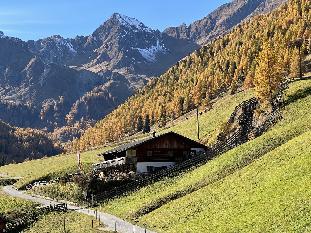
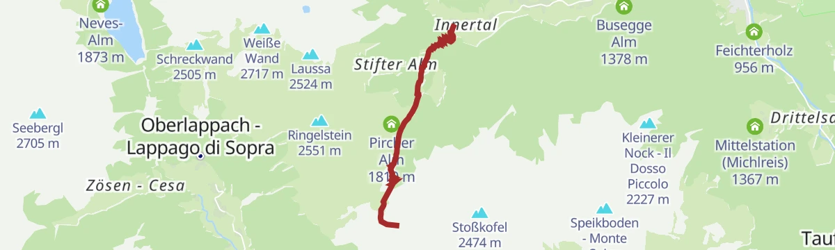
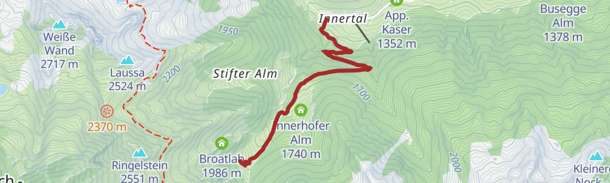
Open route Tauferer AhrntalMountainbiketour to the Pircheralm hut
A short climb on forest road above the small village of Weißenbach/Rio Bianco, reaching an alm at 1,810 m in under four kilometres.
- 3.9 km
- Distance
- 421 m
- Ascent
- 40 min
- Duration
- 13
- Check-ins
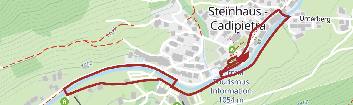
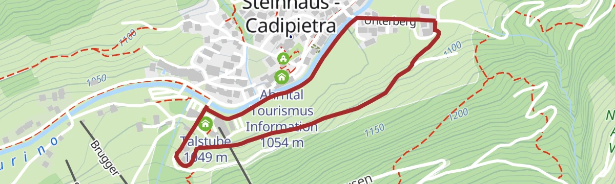
Open route Tauferer AhrntalAccessible walk at Steinhaus/Cadipietra
A barrier-free village walk from the Pfisterhaus car park in Steinhaus, past the mining museum, then on toward Klausberg along the stream.
- 2.8 km
- Distance
- 10 m
- Ascent
- 41 min
- Duration
- 28
- Check-ins
- Talstube 1 049 m
- Ski Haus Pub Steinhaus 1 050 m
- Hotel Sonnleiten 1 042 m
- Stochas 1 037 m
- Ahrntal Tourismus Information 1 054 m
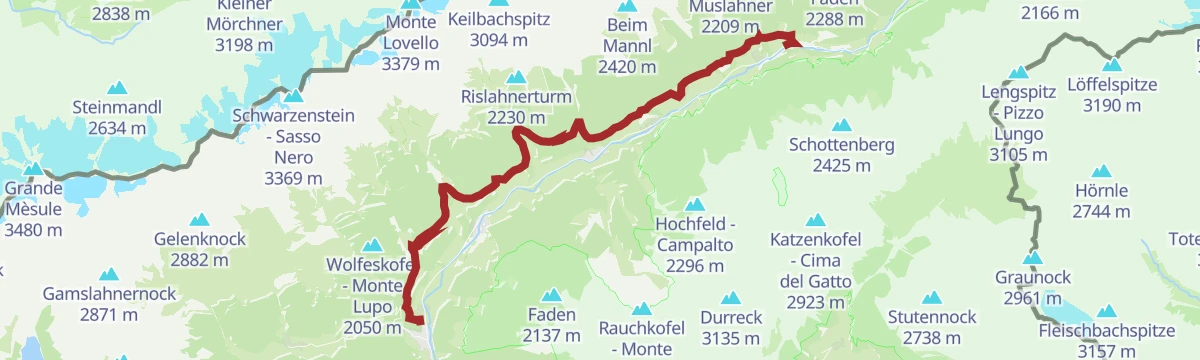
Open route Tauferer AhrntalDaimerweg [trail] – Kellerbauerweg [trail] – Gorner Joch [yoke] – Weißenbach
A traverse on the Daimer and Kellerbauer paths over the Gorner Joch and down to Weissenbach in the Ahrntal.
- 14.5 km
- Distance
- 606 m
- Ascent
- 5 h 47 min
- Duration
- 65
- Check-ins
- Fadner - Gallina 2 457 m
- Stoßkofel 2 474 m
- Bergrestaurant Speikboden 1 973 m
- Iglu Après-Ski 1 973 m
- Pircher Alm 1 810 m
- Mühlwalder Jöchl - Giogo di Selva 2 342 m
- +4
Open route Sand in TaufersDaimerweg [trail] – Kellerbauerweg [trail] – Nevesjoch / Chemnitzerhütte [alpine hut]
A long link on the Daimer and Kellerbauer paths across the Speikboden flank to the Neves pass and the Chemnitzer hut.
- 18.9 km
- Distance
- 913 m
- Ascent
- 6 h 56 min
- Duration
- 111
- Check-ins
- Zinsnock 2 435 m
- Fadner - Gallina 2 457 m
- Stoßkofel 2 474 m
- Wurmtaler Spitz - Giogo del Corno 2 343 m
- Chemnitzer Hütte - Rifugio Porro 2 420 m
- Bergrestaurant Speikboden 1 973 m
- +13
Open route Sand in TaufersMountainbiketour to the Schönbergalm hut
A forest-road ascent from Weißenbach/Rio Bianco to a hut at 1,792 m, where food is served and the surrounding mountains are in full view.
- 4.4 km
- Distance
- 457 m
- Ascent
- 44 min
- Duration
- 7
- Check-ins
Open route Tauferer AhrntalAlong the Ahr River - Heading towards Ahrntal
A riverside path along the Ahr from the bridge at Kematen up the valley to Oberluttach, level nearly the whole way.
- 4.7 km
- Distance
- 65 m
- Ascent
- 1 h 12 min
- Duration
- 24
- Check-ins
Open route Sand in TaufersHike to the Niederhofer Alm | 1.603 m
Trail 33a from the Klausberg top station past the Almboden restaurant, then through larch woods and pasture to the Niederhofer Alm; St Johann can be reached on the descent.
- 9.9 km
- Distance
- 149 m
- Ascent
- 3 h 13 min
- Duration
- 57
- Check-ins
Open route Tauferer AhrntalHigh Altitude Trail Stabeler
A long classic high route in the Zillertal Alps above the Ahrntal, calling for experience, a sure foot, fitness and a head for heights.
- 26.7 km
- Distance
- 2 018 m
- Ascent
- 13 h 55 min
- Duration
- 98
- Check-ins
- Chemnitzer Hütte - Rifugio Porro 2 420 m
- Nevesjoch - Passo di Neves 2 407 m
- Daimerhütte 1 872 m
- Schöllbergalm 1 741 m
- Göge Alm 2 027 m
- Rotbachalm 1 416 m
- +6
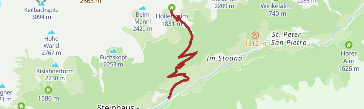
Open route Tauferer AhrntalMountainbiketour to the Hollenzalm hut
A forest-road climb from the floor of the Ahrntal up to an alm at 1,831 m, gaining the whole 700 m without a break.
- 6.5 km
- Distance
- 702 m
- Ascent
- 1 h 7 min
- Duration
- 4
- Check-ins
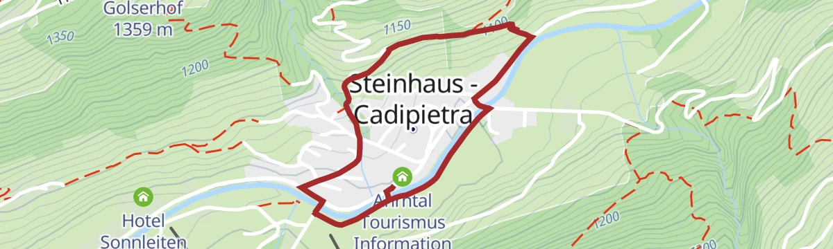
Open route Tauferer AhrntalPanoramic trail Steinhaus/Cadipietra
An easy circuit on the slopes around the village of Steinhaus in the Ahrntal.
- 3.3 km
- Distance
- 69 m
- Ascent
- 56 min
- Duration
- 24
- Check-ins
Open route Tauferer AhrntalDescent to Luttach via Schöllberg Alm [alpine hut]
A descent from the Speikboden by the Schöllberg Alm to Luttach in the Ahrntal, downhill throughout.
- 9.4 km
- Distance
- 0 m
- Ascent
- 3 h 7 min
- Duration
- 54
- Check-ins
- Bergrestaurant Speikboden 1 973 m
- Iglu Après-Ski 1 973 m
- Ahrntal Tourismus Information 959 m
- Enzian Hütte 1 950 m
Open route Sand in TaufersMountain tour to the Rauchkofel/Jochkofel
A climb to the Rauchkofel, whose name comes from its rough rock rather than from smoke, with an easy scramble over blocks at the top and the Ahrntal spread out below.
- 10.4 km
- Distance
- 1 053 m
- Ascent
- 6 h 28 min
- Duration
- 84
- Check-ins
- Rauchkofel - Monte Fumo di Cadipietra 2 653 m
- Kristallalm 1 590 m
- Moaregg Alm 1 606 m
- Klaussee - Lago Chiusetta 2 165 m
- Bauerschaftsalm 1 885 m
- Speck & Schnapsalm 1 746 m
- +2
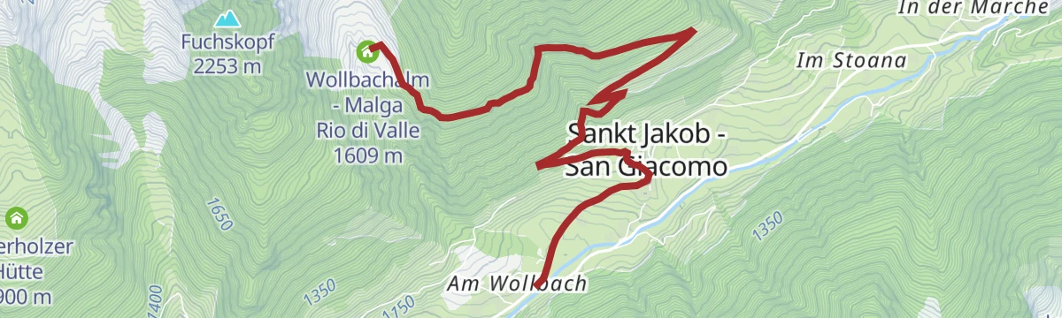
Open route Tauferer AhrntalMountainbiketour to the Wollbachalm hut
A medium-grade forest-road climb from St. Jakob/San Giacomo up to a dairy hut at just over 1,600 m on the slopes above the village.
- 6.0 km
- Distance
- 523 m
- Ascent
- 54 min
- Duration
- 4
- Check-ins
Open route Tauferer Ahrntal"Fürstenweg" duke-trail Steinhaus/Cadipietra
An easy path circling the village of Steinhaus in the Ahrntal, known locally as the duke's way.
- 2.1 km
- Distance
- 85 m
- Ascent
- 42 min
- Duration
- 17
- Check-ins
Open route Tauferer AhrntalDaimerweg [trail] – Kellerbauerweg [trail] – Mühlwalder Jöchl [yoke] – Mitterberg Alm [alpine hut] – Weißenbach
A crossing over the Mühlwalder Jöchl by the Mitterberg alm and down to Weissenbach, on the Daimer and Kellerbauer paths.
- 8.4 km
- Distance
- 483 m
- Ascent
- 4 h 32 min
- Duration
- 44
- Check-ins
- Bergrestaurant Speikboden 1 973 m
- Iglu Après-Ski 1 973 m
- Mühlwalder Jöchl - Giogo di Selva 2 342 m
- Speikbodensee - Laghetto di Monte Spico 2 279 m
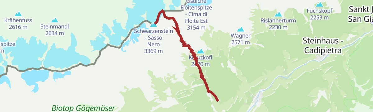
Open route Sand in TaufersMountain tour to the Schwarzenstein
A high mountain route to the Schwarzenstein, a prominent summit on the main crest of the Zillertal Alps above the Ahrntal.
- 7.8 km
- Distance
- 1 925 m
- Ascent
- 6 h 58 min
- Duration
- 74
- Check-ins
- Schwarzenstein - Sasso Nero 3 369 m
- Felsköpfl 3 235 m
- Schwarzensteinhütte - Rifugio al Sasso Nero 3 026 m
- Daimerhütte 1 872 m
- Stallila 1 472 m
- Schöllbergalm 1 741 m
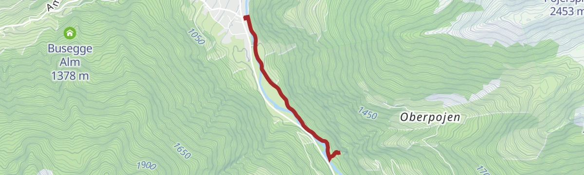
Open route Tauferer AhrntalEscursione alla cascata Poja
A short walk to the Poja waterfall near Luttach, with cool spray, fresh air and light playing in the falling water.
- 2.3 km
- Distance
- 24 m
- Ascent
- 35 min
- Duration
- 17
- Check-ins
Open route Sterzing, Pfitsch und FreienfeldHiking tour to the Daimeralm hut
A climb to the Daimeralm at 1,862 metres, set in the Rotbach valley above St Johann in the Ahrntal.
- 5.6 km
- Distance
- 886 m
- Ascent
- 3 h 25 min
- Duration
- 34
- Check-ins
Open route Tauferer AhrntalMountain tour to the Kleiner Nock
A climb to the Kleiner Nock at 2,227 metres on the Speikboden, which can also be started from Luttach.
- 6.2 km
- Distance
- 1 268 m
- Ascent
- 4 h 40 min
- Duration
- 25
- Check-ins
- Kleinerer Nock - Il Dosso Piccolo 2 227 m
- Ahrntal Tourismus Information 959 m
- Nocklacke 1 995 m
Open route Tauferer AhrntalVillage circular trail Steinhaus/Cadipietra
An easy loop around the village of Steinhaus in the middle Ahrntal.
- 2.1 km
- Distance
- 66 m
- Ascent
- 39 min
- Duration
- 17
- Check-ins
Open route Tauferer AhrntalAccessible walk from Sand in Taufers to Luttach
A barrier-free path beside the Ahr below Taufers castle and past the Oberluttacher farms, facing the peaks of the Zillertal Alps.
- 10.8 km
- Distance
- 64 m
- Ascent
- 2 h 41 min
- Duration
- 24
- Check-ins
Open route Tauferer AhrntalHiking tour Ahrntal Sun Trails - Mountain huts round trip
A long round of traditional huts on the sunlit flank of the Zillertal Alps, over flowering hay meadows, with the Ahrntal, the Dolomites and the Rieserferner group in view.
- 28.2 km
- Distance
- 2 350 m
- Ascent
- 15 h 24 min
- Duration
- 24
- Check-ins
- Bizathütte 1 430 m
- Hollenzalm 1 831 m
- Wollbachalm - Malga Rio di Valle 1 609 m
- Unterholzer Hütte 1 900 m
- Filegger Hütte 1 840 m
- Winkelalm 1 740 m
- +1
Open route Tauferer AhrntalEscursione ai cunicoli antrici di Lutago
A short walk to the old prospecting tunnels above Luttach, driven in the days of the Prettau copper mine and held in legend to be the work of little folk.
- 3.0 km
- Distance
- 154 m
- Ascent
- 1 h 7 min
- Duration
- 10
- Check-ins
Open route Sterzing, Pfitsch und FreienfeldHiking tour Health paths Weißenbach/Rio Bianco
A walk on the Weißenbach health trails, built on Kneipp's herb and water cures, with a herb path and stations for treading in cold water.
- 7.5 km
- Distance
- 303 m
- Ascent
- 2 h 30 min
- Duration
- 12
- Check-ins
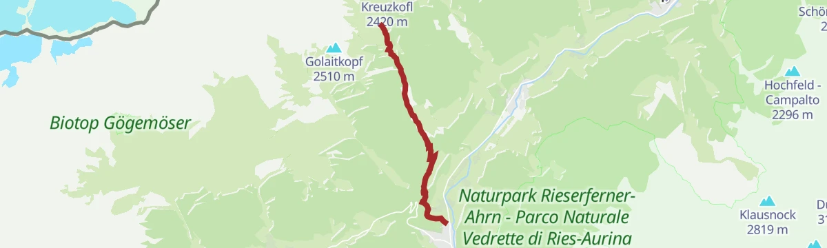
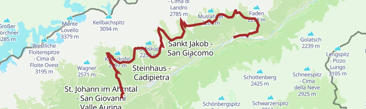
Open route Tauferer AhrntalMountain tour to the Kreuzkofel
A climb to the Kreuzkofel above St Johann, with the peaks on both sides of the Ahrntal in view from the top.
- 6.8 km
- Distance
- 949 m
- Ascent
- 5 h 31 min
- Duration
- 23
- Check-ins
Open route Tauferer AhrntalVillage circular trail Luttach/Lutago
An easy loop around the village of Luttach in the Ahrntal, level and unhurried throughout.
- 3.6 km
- Distance
- 30 m
- Ascent
- 54 min
- Duration
- 10
- Check-ins
Open route Tauferer AhrntalHiking tour Ahrntal Sun Trail - Witch's Trail
A family trail from the Schmied in der Au stop at Mühlegg to the Frankbach waterfall, past an old millstone and rocks that children can scramble on.
- 4.4 km
- Distance
- 380 m
- Ascent
- 2 h 24 min
- Duration
- 9
- Check-ins
Open route Tauferer AhrntalHiking tour - To Faden and Obersteiner Holm
A round from St Johann to the Stöckl viewpoint at Faden and the Obersteiner Holm, back by the Niederhofer Alm, facing the wall of the Zillertal Alps.
- 9.6 km
- Distance
- 1 030 m
- Ascent
- 6 h 15 min
- Duration
- 22
- Check-ins
Open route Tauferer AhrntalHiking tour to the waterfall Frankbach
A short walk to the Frankbach waterfall on the slope above St Johann, cool and loud, with light breaking in the spray.
- 3.7 km
- Distance
- 230 m
- Ascent
- 1 h 18 min
- Duration
- 9
- Check-ins
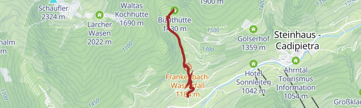
Open route Tauferer AhrntalHiking tour to the Bizat hut
A short, steep climb to the family-run Bizat hut at 1,416 metres above St Johann, which can be reached with a pushchair.
- 1.9 km
- Distance
- 380 m
- Ascent
- 1 h 25 min
- Duration
- 9
- Check-ins
Open route Tauferer AhrntalHiking tour Ahrntal Sun trail - Sunnsat
A network of old smugglers' and working paths on the sunny side of the Ahrntal, through flowering meadows, mixed forest, farms and huts.
- 19.7 km
- Distance
- 1 025 m
- Ascent
- 6 h 54 min
- Duration
- 14
- Check-ins
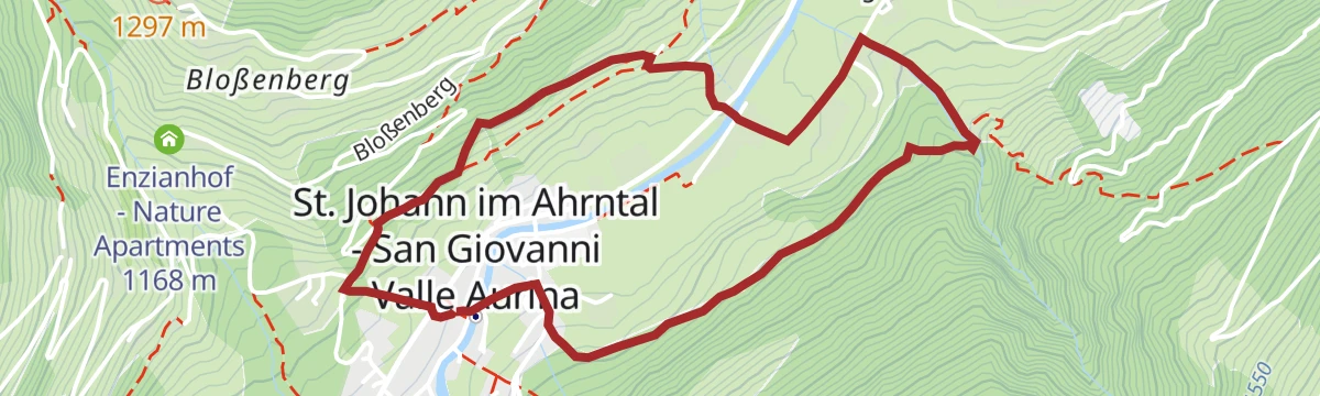
Open route Tauferer AhrntalVillage circular trail St. Johann/S. Giovanni
An easy loop around the village of St Johann in the Ahrntal.
- 4.0 km
- Distance
- 185 m
- Ascent
- 1 h 24 min
- Duration
- 5
- Check-ins
Open route Tauferer AhrntalMountain tour to Schönberg
A climb to the Schönberg, a grassy pulpit at the south end of the ridge dividing the Schwarzbach and Mitterbach valleys, between the Turnerkamp and the Schwarzenstein.
- 11.3 km
- Distance
- 841 m
- Ascent
- 5 h 31 min
- Duration
- 9
- Check-ins
Open route Tauferer AhrntalMountain pasture landscape
A climb from farmland into the larch forest that shields the valley from avalanche and rockfall, and on to the old alpine cabins on the pastures above.
- 11.5 km
- Distance
- 1 309 m
- Ascent
- 6 h 53 min
- Duration
- 10
- Check-ins
- Hochfeld - Campalto 2 296 m
- Unterbergeralm 1 643 m
- Großklausenhütte 1 485 m
- Hochfeldalm 1 810 m
- Grubenalm 2 042 m
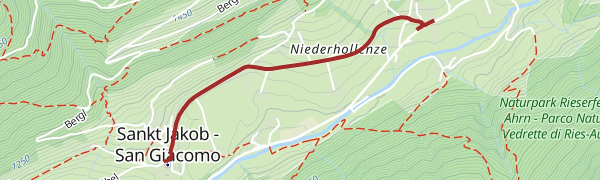
Open route Tauferer AhrntalAccessible walk at St. Jakob/S. Giacomo
A barrier-free route from the Bühel car park in St Jakob along a quiet village road past meadows, farms and old mills to St Peter.
- 1.8 km
- Distance
- 11 m
- Ascent
- 28 min
- Duration
- 2
- Check-ins
Open route Tauferer AhrntalHiking tour from Hühnerspiel to Wollbach
A round on the Hollenzberg with a steep pull to the Hühnerspiel huts in their pasture clearing, then down into the Wollbach valley, facing the Dreiherrenspitze.
- 9.4 km
- Distance
- 856 m
- Ascent
- 5 h 21 min
- Duration
- 4
- Check-ins
Open route Tauferer AhrntalTristenspitz (2,716m) from Weissenbach
A steep climb from Weißenbach in the Ahrntal to the Tristenspitz at 2,716 metres.
- 6.8 km
- Distance
- 1 240 m
- Ascent
- 6 h 58 min
- Duration
- 10
- Check-ins
Open route AVS Sektion Sand in Taufers
No routes of this kind in Valle Aurina/Ahrntal yet.
The region's own picks

Featured route
Hike to Steinhaus
A mostly downhill walk of an hour or two through the Aurina valley to the old mining village of Steinhaus.
Planning a trip to Valle Aurina/Ahrntal?
Everything else Trentino-Alto Adige/Südtirol has, in one place


Take Valle Aurina/Ahrntal with you into the mountains
Every route on this page with 3D terrain, GPX navigation and offline maps — including the valleys with no signal.
Data sources
- Official website: ahrntal.com ↗
- Routes and highlights: Tauferer Ahrntal, Sterzing, Pfitsch und Freienfeld, Sand in Taufers, Dolomiti, AVS Sektion Sand in Taufers
- Published as open data by the tourist boards named above.
- Region summary generated from the board's own material.
