
 Historic site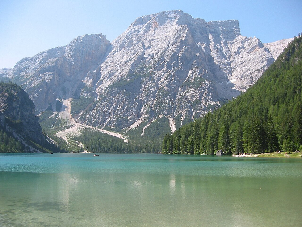


 Cable car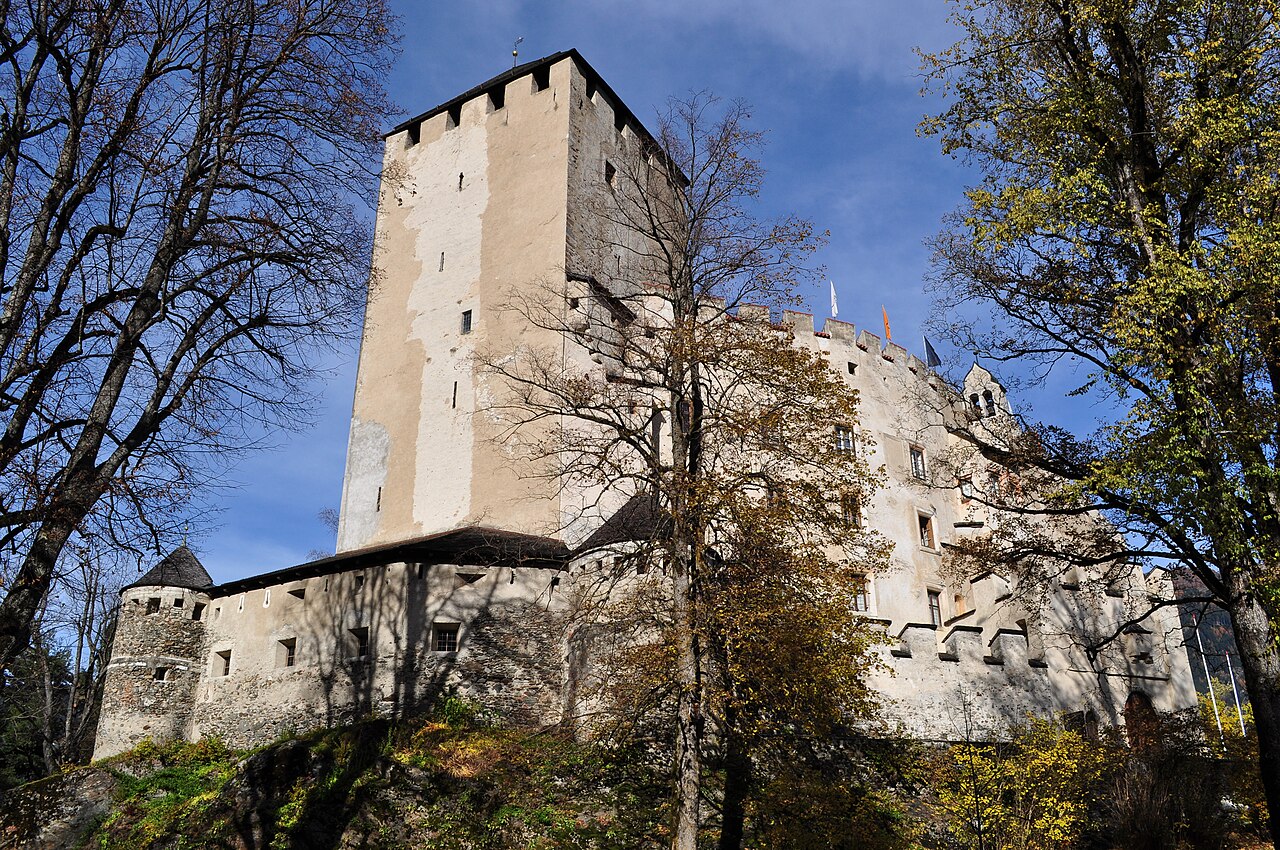
 Mountain hut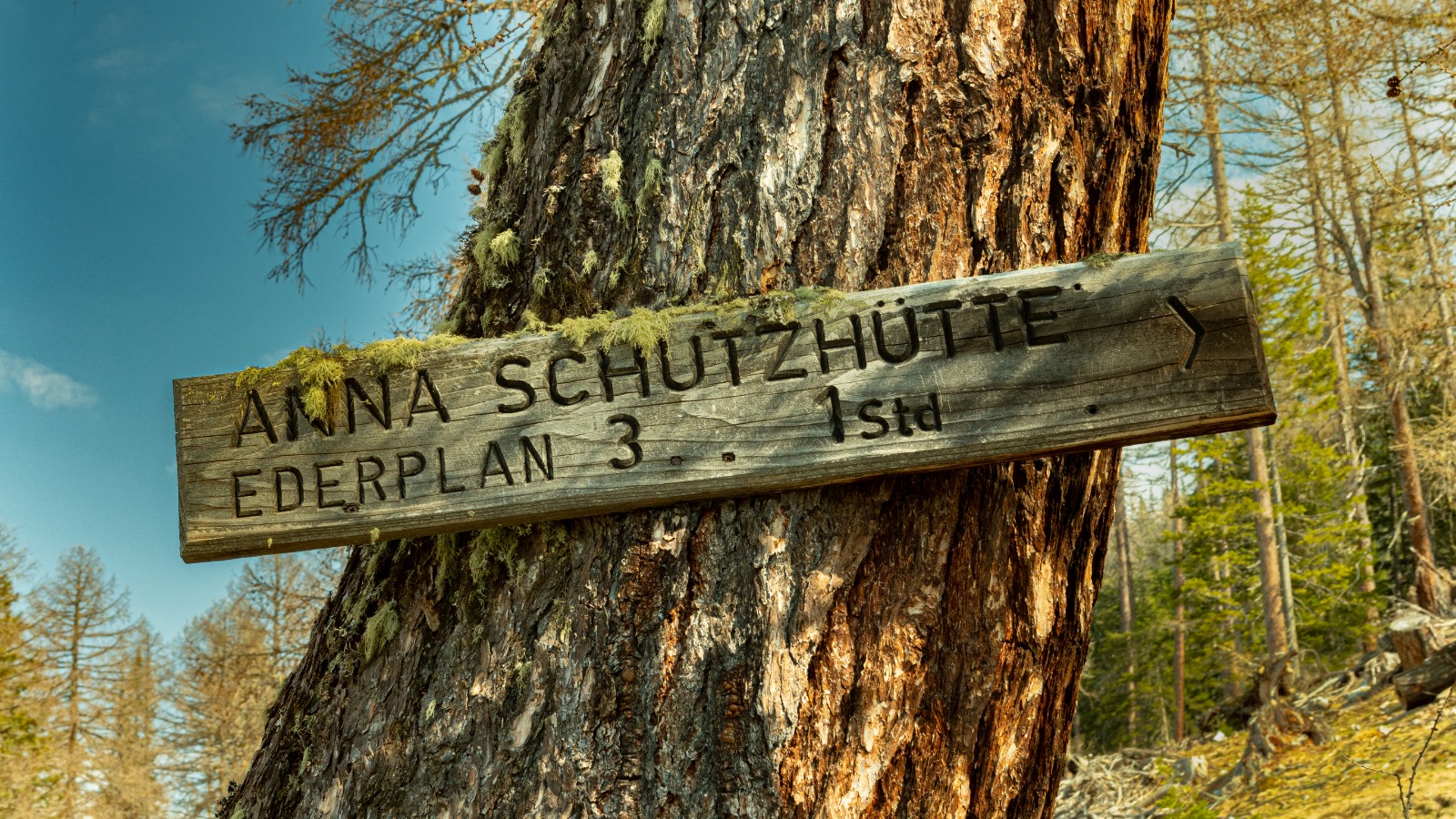




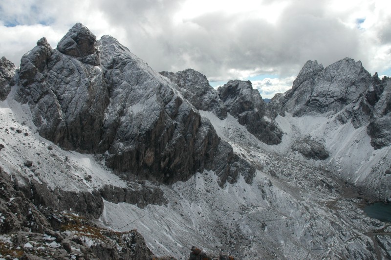
Curated by Osttirol Tourismus
Tristach
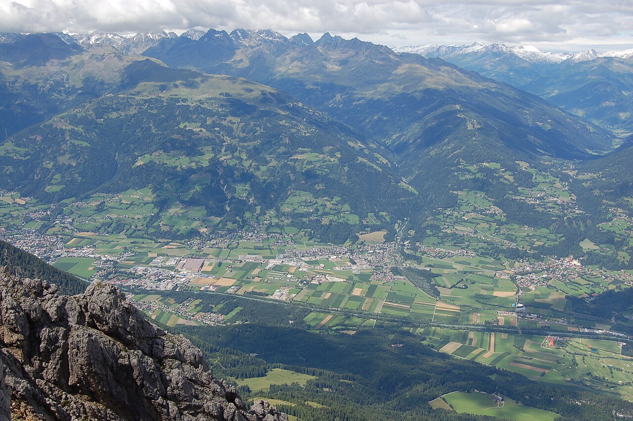
On the south bank of the Drau by Lienz, with the warm, wooded Tristacher See bathing lake at the foot of the Dolomites.
- 2Highlights
- 25Routes
- Featured summit · Große Sandspitze
Highlights
13 from neighbouring places
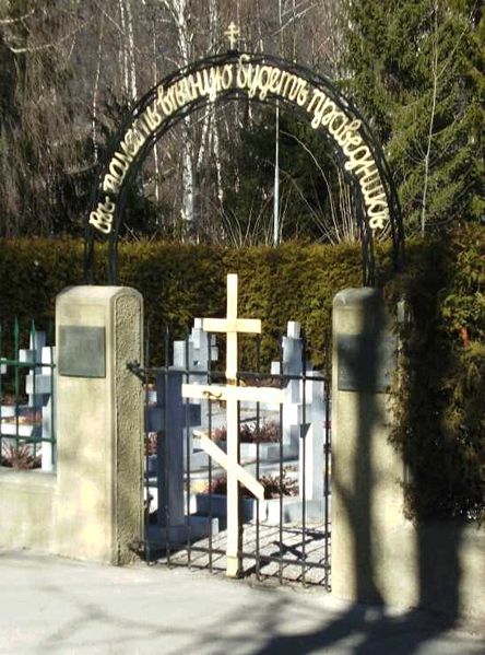
Kosakenfriedhof
A cemetery near Lienz for Cossacks who died in 1945, when refugees camped in the Drau valley were handed over to the Soviet army.
Seekofel
A multi-pitch climbing peak in the Lienz Dolomites above the Tristacher See, with routes on its limestone walls.
Kuenz Naturbrennerei
4.7 km away, in Dölsach
A family fruit distillery at Dölsach near Lienz, producing schnapps from orchard fruit and offering tastings and farm sales.
Stadtpfarrkirche St. Andrä
5.3 km away, in Lienz
The Gothic town parish church of Lienz, where a memorial chapel holds the grave of the painter Albin Egger-Lienz.
Lienzer Bergbahnen, Hochstein
5.3 km away, in Lienz
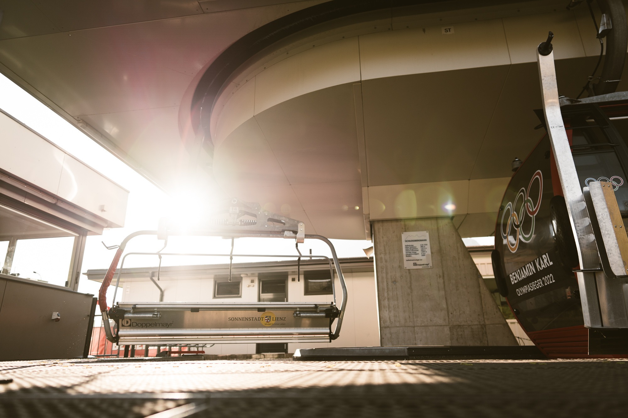
Lifts up the Hochstein, Lienz's local mountain, serving ski slopes in winter and walking routes and downhill bike trails in summer.
Sommerrodelbahn Osttirodler
5.4 km away, in Lienz
An alpine coaster on the slopes above Lienz, running from the mountain station of the town's lifts down toward the valley.
Schloss Bruck | Museum der Stadt Lienz
5.7 km away, in Lienz
A medieval castle of the Counts of Görz above Lienz, now the city museum with works by the painter Albin Egger-Lienz.
Naturfreundehütte 1.850m
8 km away, in Nußdorf-Debant
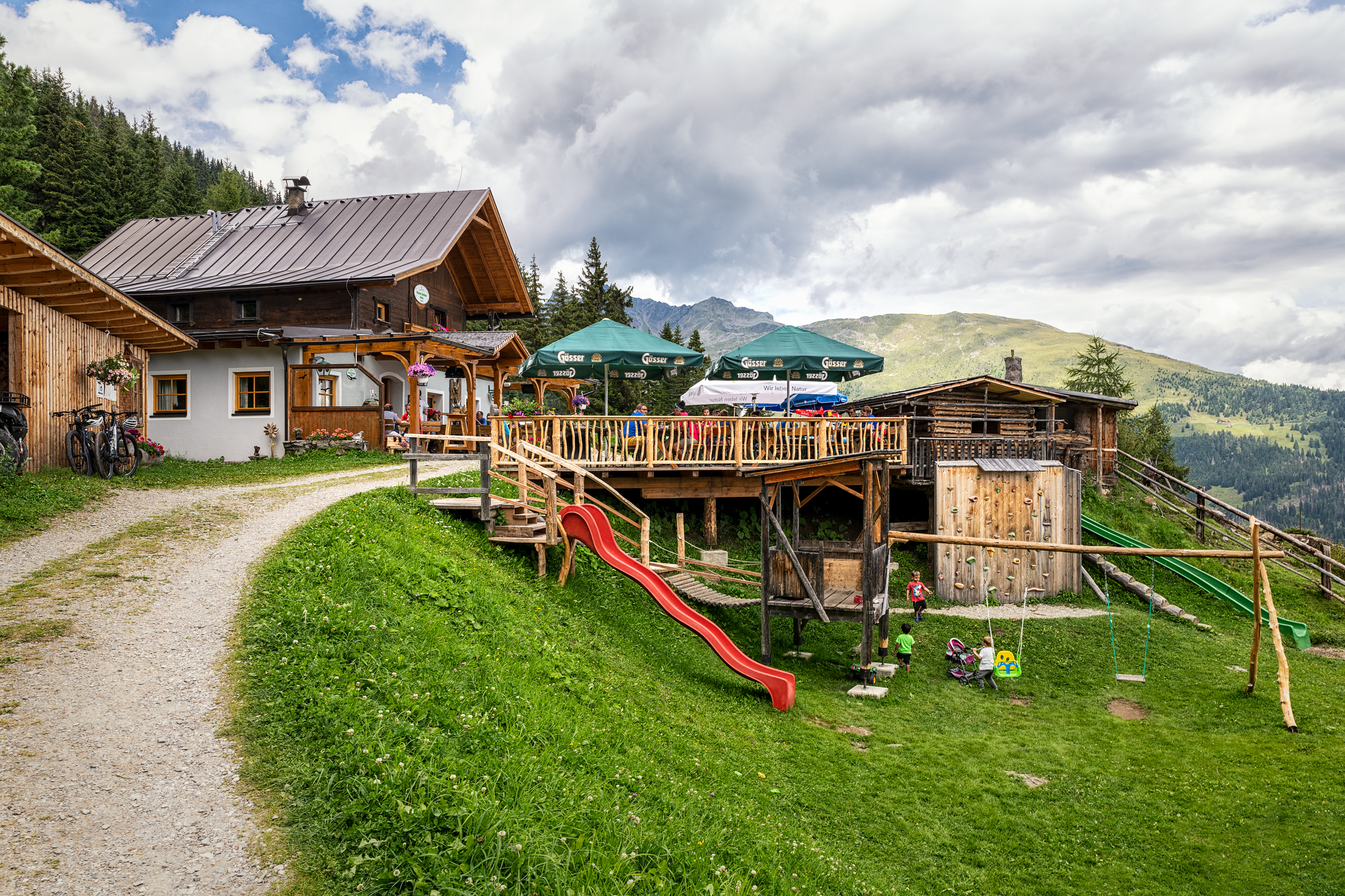
A Naturfreunde club hut at 1,850 m on the Zettersfeld slopes above Gaimberg and the Lienz basin, open to walkers in season.
Anna Schutzhaus 1.992m
8 km away, in Dölsach
A refuge at 1,992 m near the Ederplan summit above Dölsach, with wide views over the Drau valley and across to the Lienz Dolomites.
Abenteuer- und Walderlebniswelt Lesachtal
9.2 km away, in Lesachtal
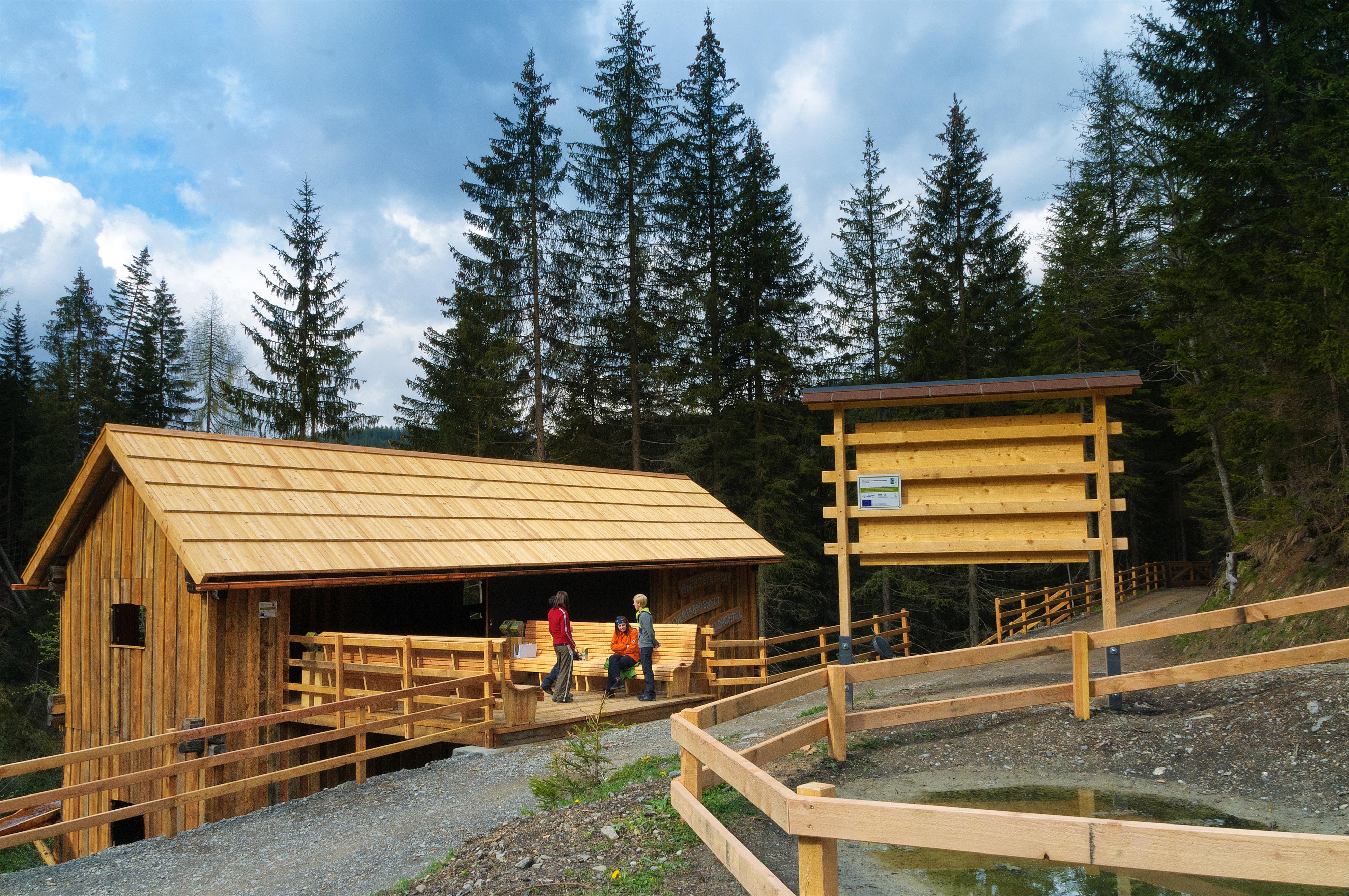
A forest adventure world in the Lesachtal, with climbing and play stations among the trees.
Basilika Maria Luggau
10.9 km away, in Lesachtal
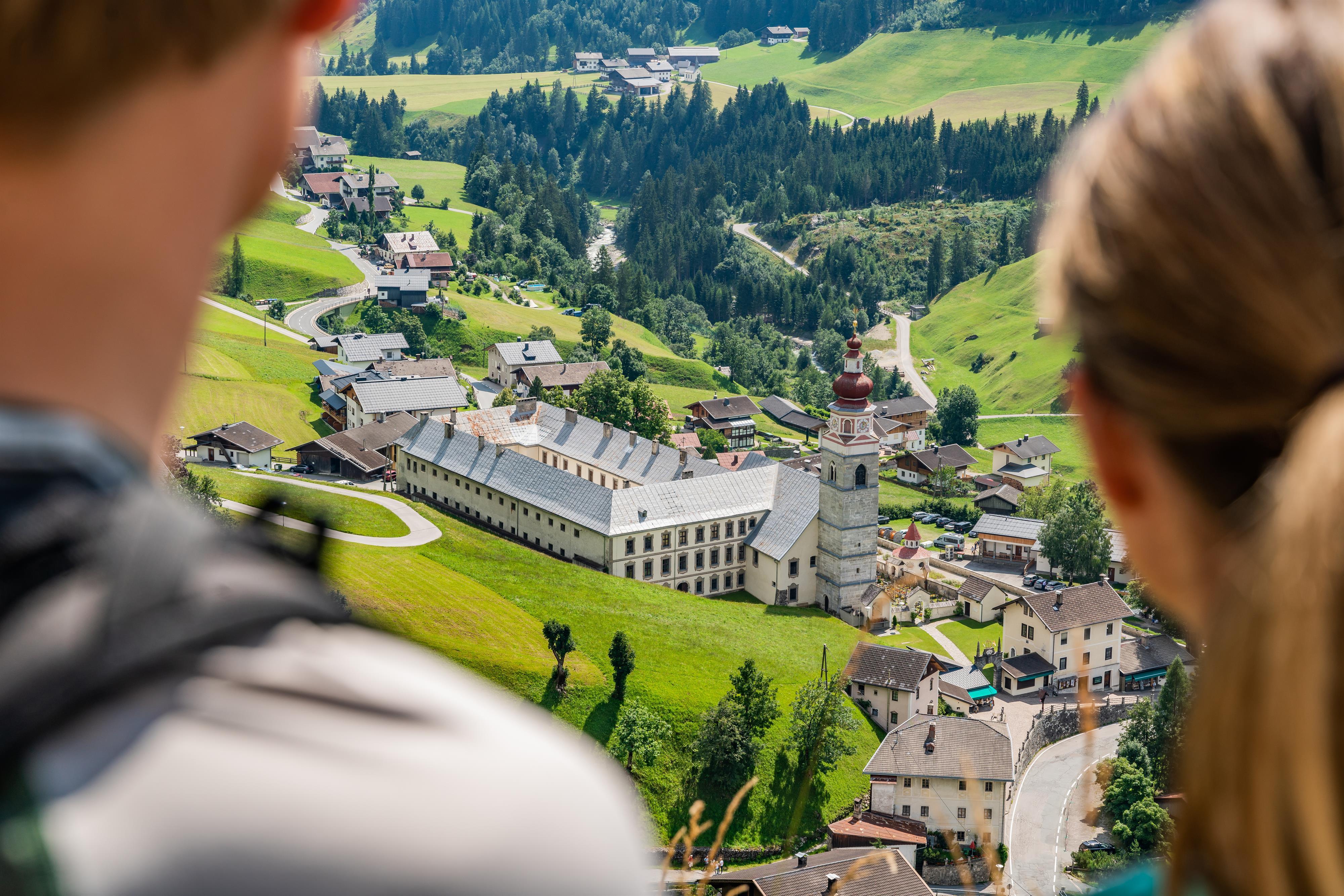
A pilgrimage basilica at Maria Luggau in the Lesachtal, visited by thousands of pilgrims each year.
Debanttal
11 km away, in Dölsach
A side valley near Lienz reaching deep into the Schober group, much of it lying within the Hohe Tauern National Park.
Lienzer Bergbahnen, Zettersfeld
5.6 km away, in Gaimberg
A gondola from the edge of Lienz to the Zettersfeld, a sunny plateau at around 1,800 m with family ski slopes and easy high-level walking.
Lienzer Klause
5.7 km away, in Leisach
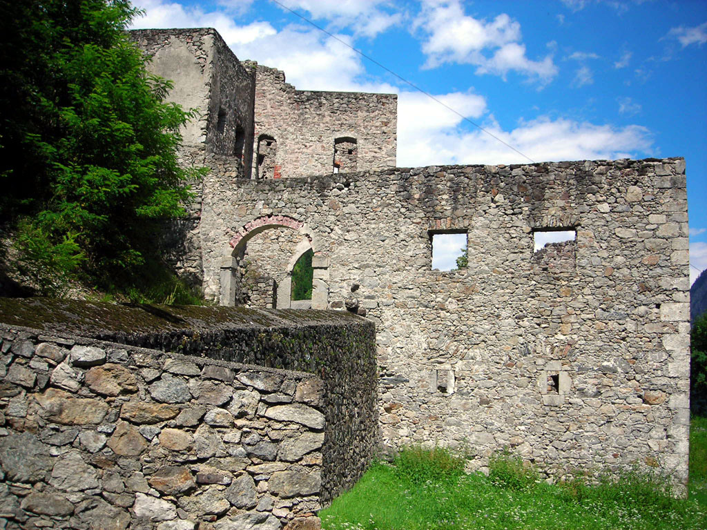
A historic barrier fortification at Leisach south of Lienz, built to control the narrow passage of the Drau valley toward the Pustertal.
Nothing of this kind in Tristach.
Routes
Seekofel Klettersteig
Short via ferrata onto the Seekofel above the Karlsbader Hütte in the Laserz cirque, entered from the Ödkarscharte past the memorial cross below the Teplitzer Spitze.
- 14.2 km
- Distance
- 148 m
- Ascent
- 5 h 33 min
- Duration
- 68
- Check-ins
E-Bike & Klettersteig Seekofel 2.810m
E-bike-and-ferrata day in the Lienz Dolomites: ride to the Dolomitenhütte, walk up past the Karlsbader Hütte and climb the Seekofel from the Ödkarscharte above the Laserzsee.
- 30.6 km
- Distance
- 200 m
- Ascent
- 11 h 37 min
- Duration
- 63
- Check-ins
Klettersteig Piccola Ferrata
Compact secured route on the Auerling ridge between the Dolomitenhütte and the Hohes Törl, combined with the Rudl-Eller-Weg toward the Karlsbader Hütte.
- 9.8 km
- Distance
- 198 m
- Ascent
- 4 h 8 min
- Duration
- 62
- Check-ins
E-Bike & Klettersteig Große Sandspitze 2.772m
E-bike approach to the Dolomitenhütte, then past the Karlsbader Hütte onto the Große Sandspitze, highest of the Lienz Dolomites; descent via the Ari-Schüberl-Steig.
- 30.6 km
- Distance
- 600 m
- Ascent
- 12 h 49 min
- Duration
- 59
- Check-ins
Madonnen Klettersteig
Via ferrata up the Große Gamswiesenspitze in the Lienz Dolomites, entered from the Kerschbaumer Törl side; a summit Madonna gives the route its name.
- 13.6 km
- Distance
- 470 m
- Ascent
- 6 h 18 min
- Duration
- 57
- Check-ins
Panorama Klettersteig
Sustained via ferrata up the south flank of the Kleine Laserzkopf, starting beneath the Roter Turm beyond the Karlsbader Hütte; about 600 m of wired climbing.
- 13.5 km
- Distance
- 600 m
- Ascent
- 6 h 39 min
- Duration
- 57
- Check-ins
Laserz Klettersteig
Steep secured climb out of the Laserz cirque, approached from the Dolomitenhütte car park along the blue-marked Rudl-Eller-Weg to the entry board at the wall foot.
- 11.3 km
- Distance
- 380 m
- Ascent
- 5 h 13 min
- Duration
- 51
- Check-ins
Rauchkofel
Short summit outing from the Dolomitenhütte toll road — 350 m of climbing to a rocky viewpoint perched between the Lienz valley floor and the Dolomites' walls.
- 3.0 km
- Distance
- 350 m
- Ascent
- 2 h 6 min
- Duration
- 7
- Check-ins
Dolomitenhütte - Karlsbaderhütte
Classic Lienz Dolomites hut link from the Dolomitenhütte into the Laserz cirque, ending at the Karlsbader Hütte beside the Laserzsee under high rock walls.
- 10.3 km
- Distance
- 859 m
- Ascent
- 5 h 29 min
- Duration
- 69
- Check-ins
Kerschbaumeralm Schutzhaus - Karlsbaderhütte - Dolomitenhütte
Grand Lienz Dolomites circuit from Klammbrückl: up to the Kerschbaumeralm, over the Kerschbaumer Törl to the hut at the Laserzsee, and out via the Dolomitenhütte.
- 12.5 km
- Distance
- 1 394 m
- Ascent
- 8 h 24 min
- Duration
- 51
- Check-ins
Skitour Kreithof-Dolomitenhütte
Short ski tour from the Kreithof car park above the Tristachersee up to the Dolomitenhütte, a steady forest climb beneath the rock walls of the Lienz Dolomites.
- 3.3 km
- Distance
- 564 m
- Ascent
- 564 m
- Descent
- 1 h 52 min
- Duration
- 26
- Check-ins
Skitour Grubenspitze 2.671m
Committing Lienz Dolomites ski tour from the Kreithof, climbing past the Dolomitenhütte and Karlsbader Hütte to a 2,671 m rock summit — about 1,800 m of ascent.
- 10.5 km
- Distance
- 1 825 m
- Ascent
- 1 825 m
- Descent
- 6 h 3 min
- Duration
- 53
- Check-ins
Karlsbaderhütte Nr. 154
A long mountain-bike climb from Tristach past the Dolomitenhütte and the Instein-Alm up to 2,260 m in the Lienzer Dolomiten.
- 26.3 km
- Distance
- 1 701 m
- Ascent
- 4 h 23 min
- Duration
- 53
- Check-ins
E-Bike & Climb Roter Turm 2.702m
An e-bike approach from the Drau valley up to the Dolomitenhütte and Karlsbader Hütte, the start for the climbing routes on the Lienzer Dolomiten.
- 30.2 km
- Distance
- 100 m
- Ascent
- 2 h 46 min
- Duration
- 55
- Check-ins
Tristachersee Runde
Flat lakeside lap of the Tristacher See — Osttirol's only bathing lake — past the buffet and the Parkhotel, twenty easy minutes beneath the Lienz Dolomites.
- 1.4 km
- Distance
- 30 m
- Ascent
- 25 min
- Duration
- 7
- Check-ins
Wanderung zur Karlsbader Hütte 2.260m (über Rudi-Eller-Weg)
Scenic approach to the hut at the Laserzsee via the Rudi-Eller-Weg, crossing the Hohe Trage and the Zillinköpfe instead of taking the standard track.
- 10.9 km
- Distance
- 839 m
- Ascent
- 5 h 27 min
- Duration
- 63
- Check-ins
Lavanter Kolm
From the Kreithof above Tristach this route climbs through the Lienz Dolomites past the Prinz Eduard Hütte and Lavanter Alp to a panoramic summit above the Drau valley.
- 11.3 km
- Distance
- 1 046 m
- Ascent
- 6 h 32 min
- Duration
- 2
- Check-ins
Skitour Karlsbaderhütte - Ödkarscharte
Ski route from the Kreithof past the Karlsbader Hütte and into the Ödkarscharte notch — a 1,600 m day deep in the rock scenery of the Lienz Dolomites.
- 8.0 km
- Distance
- 1 627 m
- Ascent
- 1 627 m
- Descent
- 5 h 14 min
- Duration
- 52
- Check-ins
Radweg Lienzer Talboden Nr. 35
A valley cycle path along the Drau and Isel floor around Lienz, passing the Aguntum viewing platform and the Iselblick.
- 39.1 km
- Distance
- 428 m
- Ascent
- 3 h 52 min
- Duration
- 1
- Check-ins
Dolomiten - Karlsbaderhütte über Normalweg
The standard way in: from the Dolomitenhütte car park a broad track climbs into the Laserz cirque to the hut and its small lake beneath the climbing walls.
- 8.8 km
- Distance
- 724 m
- Ascent
- 4 h 38 min
- Duration
- 48
- Check-ins
Skitour Auerling 2.035m
From the Kreithof above Tristach the route climbs past the Dolomitenhütte and the Hexenlackl to a 2,035 m top — 1,000 m of ascent below the Dolomites' north faces.
- 4.8 km
- Distance
- 1 020 m
- Ascent
- 1 020 m
- Descent
- 3 h 15 min
- Duration
- 30
- Check-ins
Walter Mair Rundwanderweg Lienzer Talboden - Etappe 1
Stage 1 of a long loop around the Lienz valley floor, taking in the Tristacher See, the Goggkreuz and the church hill of Kirchbichl on a varied 14 km round.
- 14.3 km
- Distance
- 671 m
- Ascent
- 5 h 1 min
- Duration
- 19
- Check-ins
Skitour Karlsbaderhütte - Schartenschartl
Alternative ski objective in the Laserz area: from the Kreithof past the Dolomitenhütte and Instein-Alm up to the Schartenschartl notch at the head of the cirque.
- 8.0 km
- Distance
- 1 615 m
- Ascent
- 1 615 m
- Descent
- 5 h 12 min
- Duration
- 28
- Check-ins
Tristachersee über Naturlehrpfad
Nature-trail route to Osttirol's bathing lake, passing the reedy Alter See on the way to the shore by the Parkhotel, with interpretive boards along the path.
- 7.8 km
- Distance
- 261 m
- Ascent
- 2 h 28 min
- Duration
- 4
- Check-ins
Skitour Schöttnerspitze 2.633m
Long ski day in the Lienz Dolomites from the Kreithof, passing the Instein-Alm and the Karlsbader Hütte basin to a 2,633 m summit — about 1,600 m of climbing.
- 7.4 km
- Distance
- 1 582 m
- Ascent
- 1 582 m
- Descent
- 5 h 2 min
- Duration
- 26
- Check-ins
No routes of this kind in Tristach yet.
The region's own picks
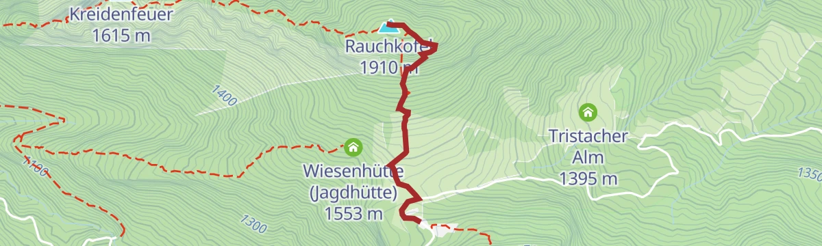
Featured route
Rauchkofel
Short summit outing from the Dolomitenhütte toll road — 350 m of climbing to a rocky viewpoint perched between the Lienz valley floor and the Dolomites' walls.
Planning a trip to Tristach?
Everything else Tyrol has, in one place


Take Tristach with you into the mountains
Every route on this page with 3D terrain, GPX navigation and offline maps — including the valleys with no signal.
Data sources
- Official website: osttirol.com ↗
- Routes and highlights: Osttirol Tourismus, Nassfeld-Pressegger See Tourismus
- Published as open data by the tourist boards named above.
- Region summary generated from the board's own material.
