
 Historic site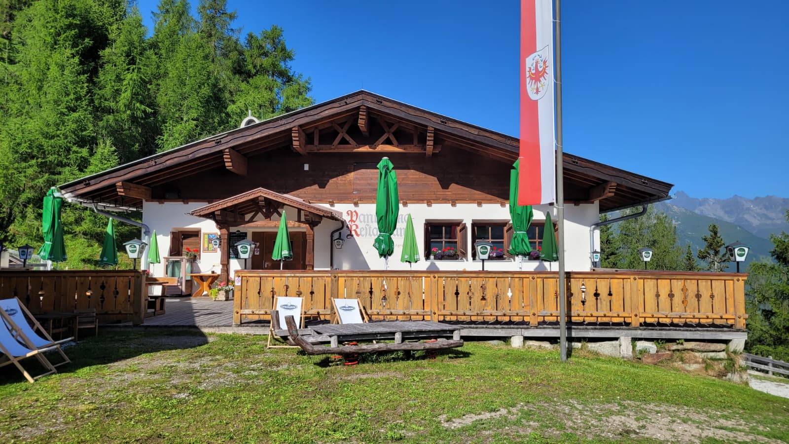
 Mountain hut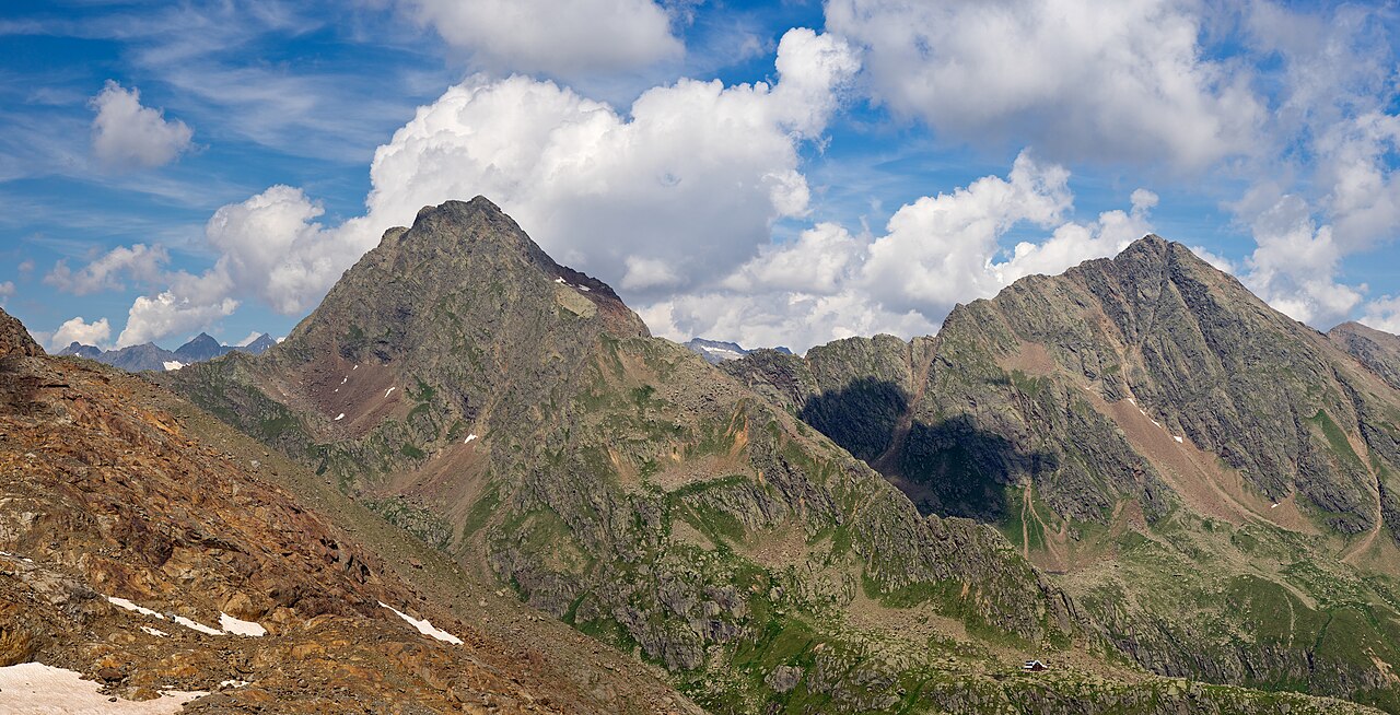

















Curated by Wipptal Tourismus
Trins
The lower village of the Gschnitztal at 1233 m, set on a glacially smoothed valley floor below the flower meadows of the Blaser and Schloss Schneeberg.
- 1Highlights
- 39Routes
- Featured summit · Serles
Highlights
14 from neighbouring places
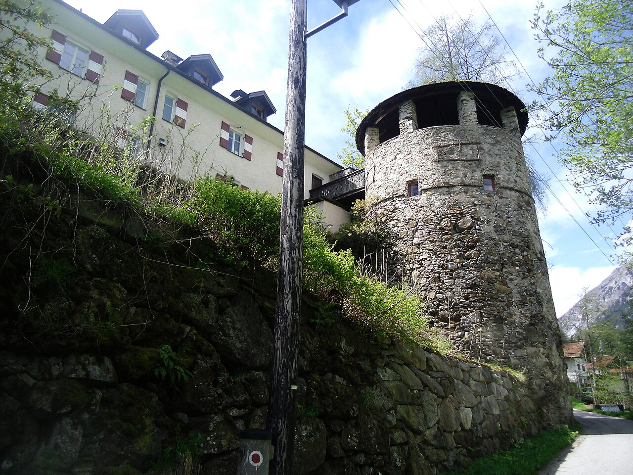
Schloss Schneeberg
A historic castle in the Wipptal, the Tirolean valley running south from Innsbruck towards the Brenner Pass, counted among the area's sights.
Panoramarestaurant Elfer 1.812m
6.3 km away, in Neustift im Stubaital
A panorama restaurant at 1,812 m by the Elfer lifts' top station above Neustift, with terrace views along the Stubaital.
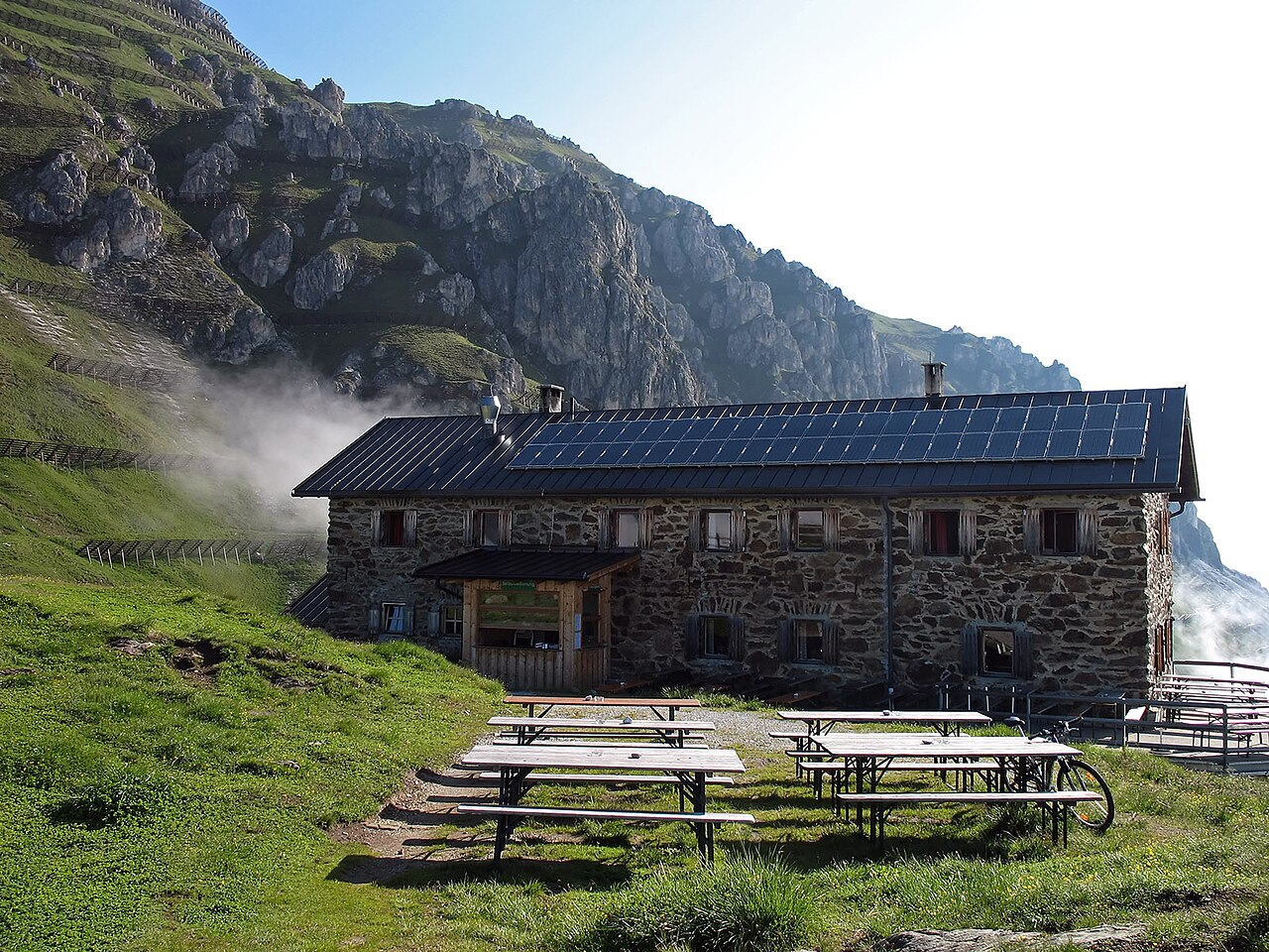
Bremer Hütte
6.5 km away, in Steinach am Brenner
An Alpine Club hut at 2,413 m at the head of the Gschnitztal, crossed by the Stubai High Trail on its stage to the Nürnberger Hütte.
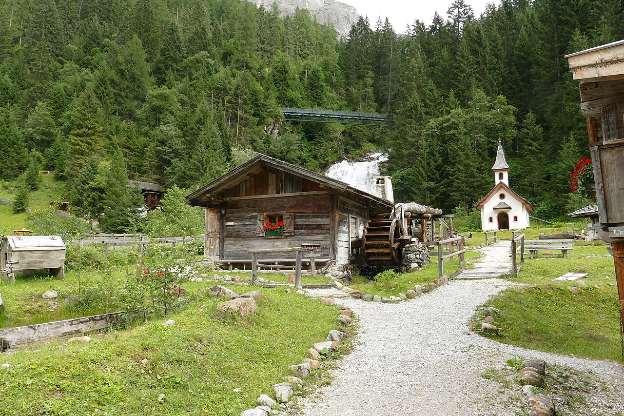
Mühlendorf Gschnitz
6.7 km away, in Gschnitz
An open-air ensemble of restored water mills at Gschnitz in the Gschnitztal, a side valley of the Wipptal, with milling shown in season.
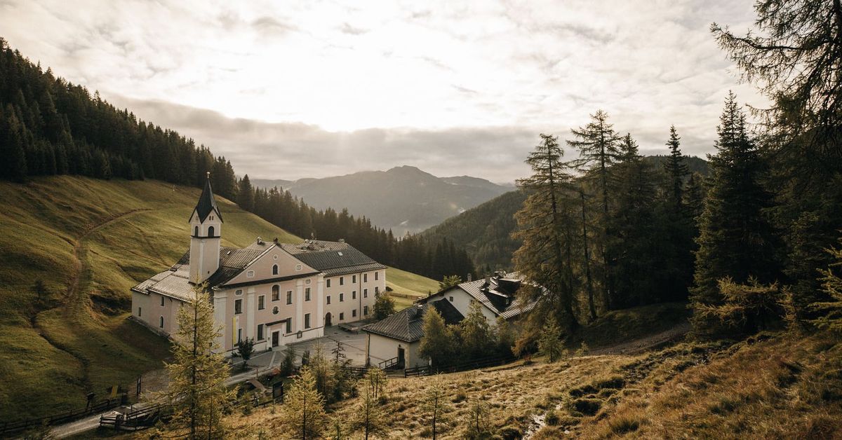
Maria Waldrast 1.640m
6.7 km away, in Mühlbachl
A Servite monastery and pilgrimage church at about 1,640 m below the Serles, with an inn and a spring long credited with healing powers.
Natur Resort Waldrast
6.7 km away, in Mühlbachl
A mountain inn beside the Maria Waldrast monastery below the Serles, reachable on foot or by toll road from Mühlbachl.
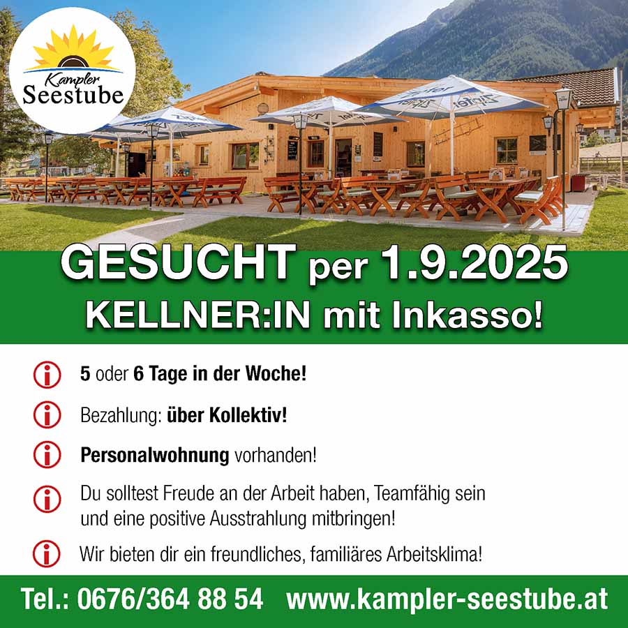
Kampler Seestube 1.000m
7.7 km away, in Neustift im Stubaital
A restaurant at about 1,000 m on the shore of the Kampler See near Neustift, serving bathers and cyclists on the valley route.
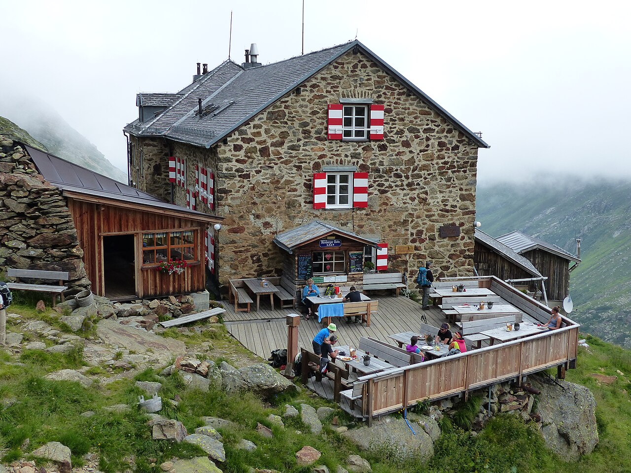
Nürnberger Hütte
8.1 km away, in Neustift im Stubaital
An Alpine Club hut at about 2,280 m in the Langental at the rear of the Stubaital, a Stubai High Trail stage and a base for the Wilder Freiger.
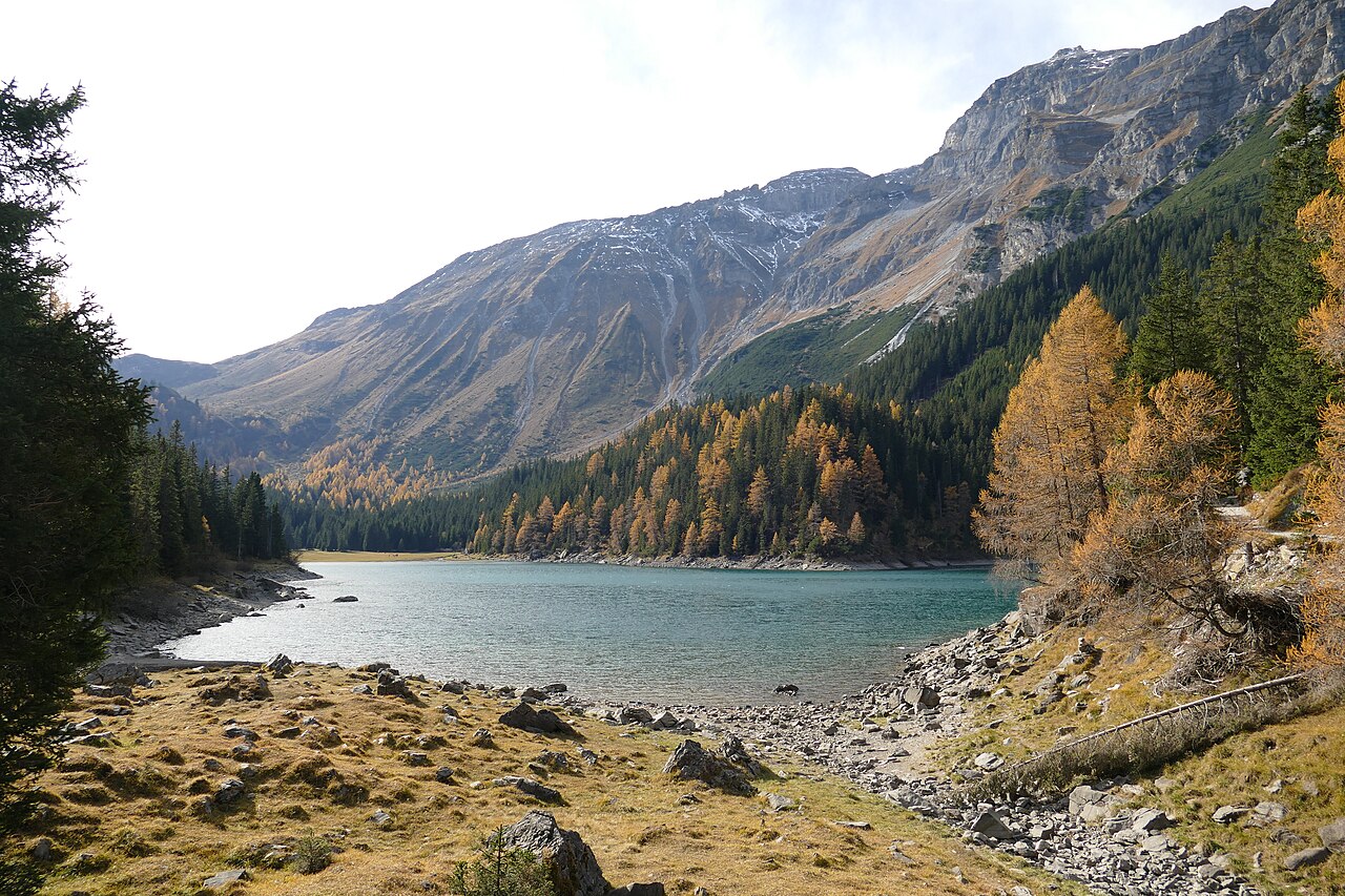
Obernbergersee
8.6 km away, in Obernberg am Brenner
A mountain lake at the head of the Obernberg valley below the Tribulaun peaks, reached by an easy walk from Obernberg am Brenner.
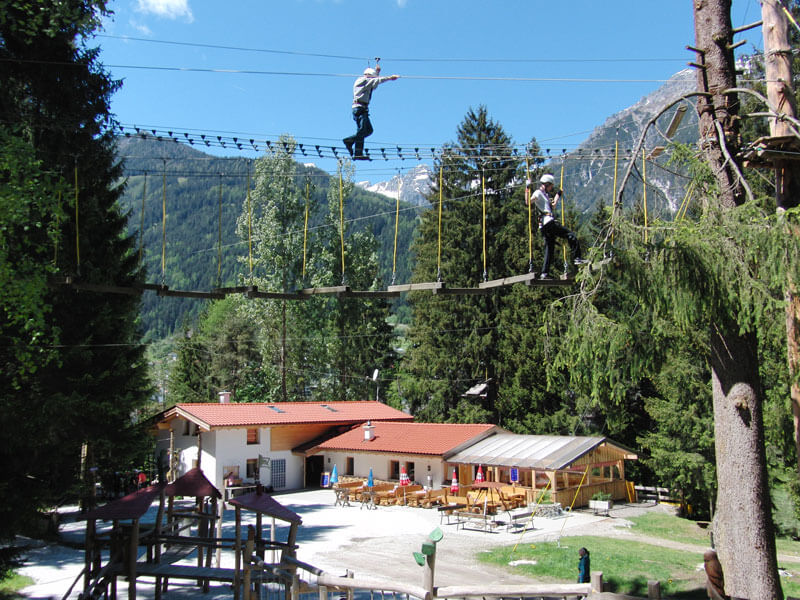
Adventurepark Fulpmes mit Hochseilgarten
9.6 km away, in Fulpmes
A high-ropes adventure park at Fulpmes with courses of ladders, bridges and zip lines at varying heights among the trees.
Starkenburger Hütte
9.7 km away, in Fulpmes
An Alpine Club hut at 2,237 m on the sunny side of the Stubaital, the customary first stage of the Stubai High Trail, reached from Fulpmes or Neustift.
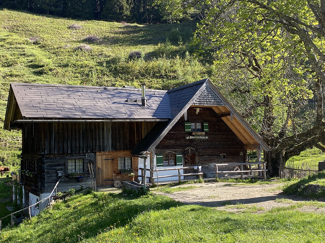
Steiner Alm
9.8 km away, in Obernberg am Brenner
A working pasture hut above Obernberg am Brenner, serving simple farm dishes to walkers heading toward the Obernberger See.
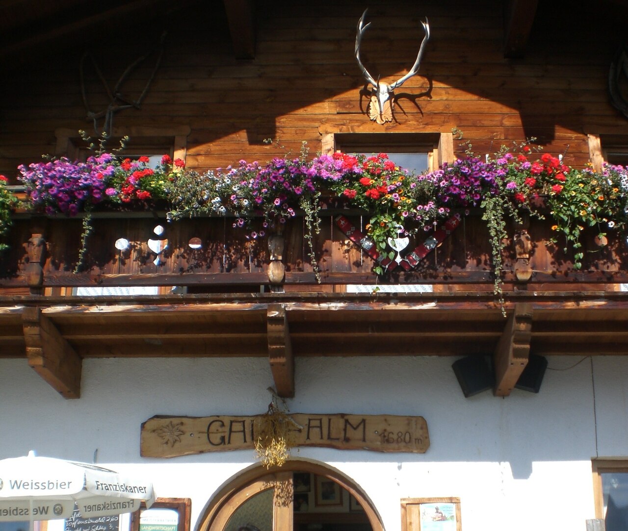
Galtalm
9.8 km away, in Fulpmes
A pasture hut on the slopes above Fulpmes in the Stubaital, a walkers' stop serving hut fare within easy reach of the village.
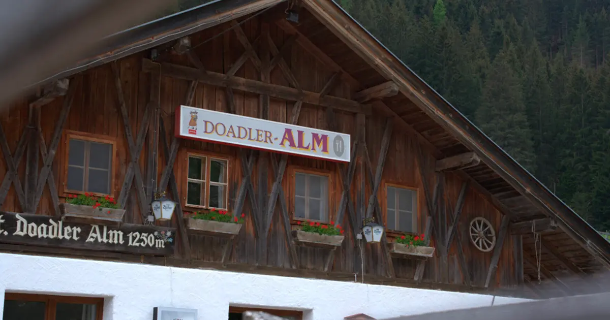
Doadler Alm 1.250m
12.6 km away, in Neustift im Stubaital
A pasture hut at 1,250 m in the upper Stubaital above Neustift, an easy walk up from the valley floor near Falbeson.
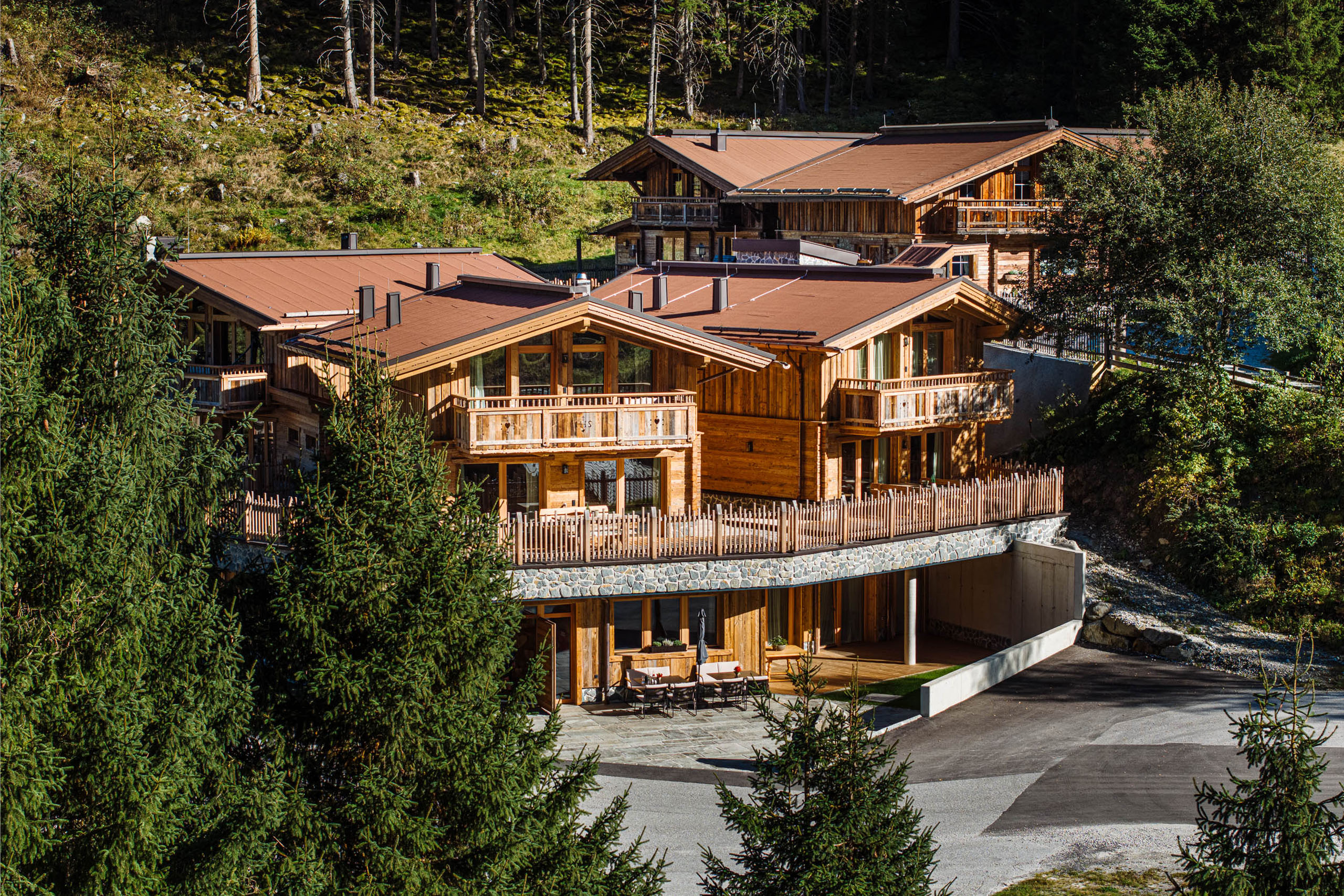
Gletscher Chalet
13.4 km away, in Neustift im Stubaital
A chalet-style mountain restaurant and lodge in the upper Stubaital near Neustift, on the way toward the Stubai Glacier.
Nothing of this kind in Trins.
Routes
Gstrein Runde in Trins
Short, nearly flat circuit on the sunny side of Trins, starting at the Liftstüberl car park by the village ski lift - a relaxed meadow walk in the Gschnitztal.
- 3.7 km
- Distance
- 99 m
- Ascent
- 1 h 7 min
- Duration
- 4
- Check-ins
Wasserweg Gschnitztal
Water-themed valley trail through the Gschnitztal between Trins and Gschnitz, linking springs, streams and hut stops below the Tribulaun peaks.
- 25.2 km
- Distance
- 523 m
- Ascent
- 7 h 11 min
- Duration
- 9
- Check-ins
Maria Waldrast - König Serles
A long summit day from the monastery at Maria Waldrast onto the Serles, the free-standing pyramid above the Stubai valley entrance, approached via the Serlesjöchl.
- 20.6 km
- Distance
- 2 265 m
- Ascent
- 13 h 42 min
- Duration
- 88
- Check-ins
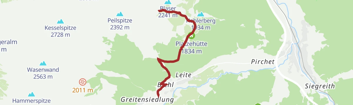
Blaser (2.241 m)
Classic Wipptal ski tour from the Leiten car park above Trins, climbing past the Platzehütte to a rounded 2,241 m summit famed in summer for its flower meadows.
- 4.1 km
- Distance
- 937 m
- Ascent
- 937 m
- Descent
- 2 h 57 min
- Duration
- 12
- Check-ins
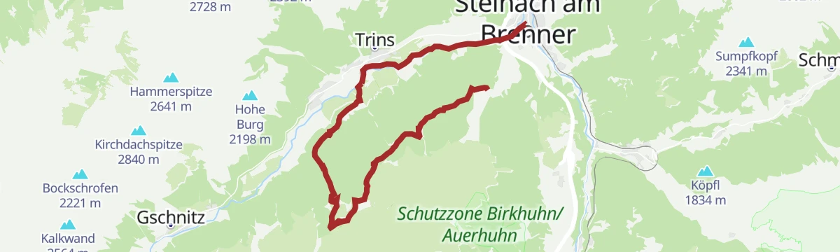
527 Mountainbikerunde Bergeralm-Gerichtsherrnalm Rundtour
A round trip between the Steinach and Trins ski lifts, topping the Kalvarienberg and reaching pastureland at 1,680 m.
- 20.0 km
- Distance
- 708 m
- Ascent
- 2 h 26 min
- Duration
- 8
- Check-ins
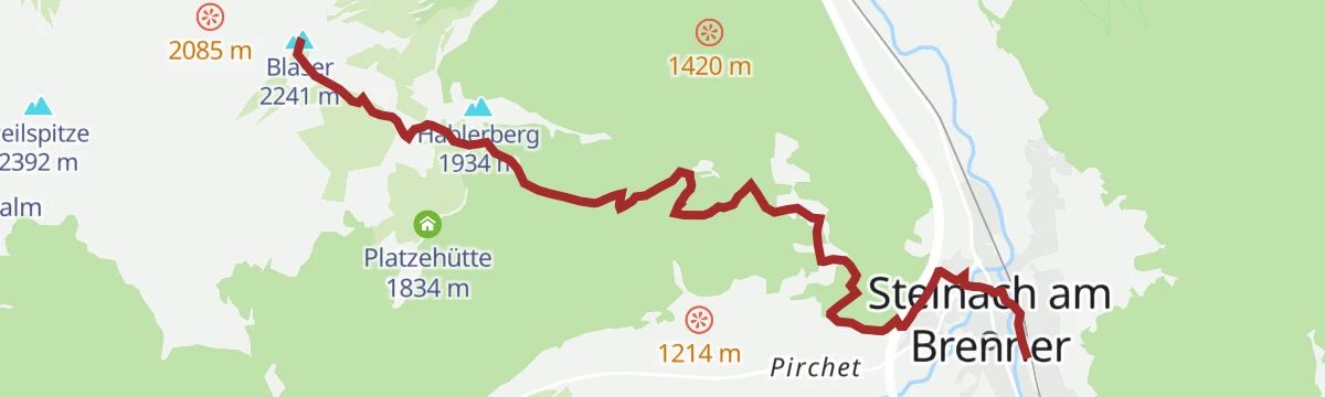
5059 Mountainbike Blaser Hütte
A steep forest-road climb from Steinach am Brenner to the Blaser Hütte at 2,180 m, well over a kilometre of ascent in barely 10 km.
- 11.8 km
- Distance
- 1 149 m
- Ascent
- 2 h 42 min
- Duration
- 12
- Check-ins
Rötenspitze über Trunahütte und Lichtsee
A steep tour above Trins, climbing past the Trunahütte and over the Trunajoch at 2,152 m, with nearly 1,400 m of ascent in 11 km.
- 11.3 km
- Distance
- 1 386 m
- Ascent
- 3 h 7 min
- Duration
- 11
- Check-ins
Grazanna Runde in Trins
Gentle valley loop around Trins in the Gschnitztal, passing the Liftstüberl at the village ski lift - an easy stroll suited to families and rest days.
- 6.9 km
- Distance
- 175 m
- Ascent
- 2 h 2 min
- Duration
- 3
- Check-ins
🌟 Gschnitztaler Hüttenstern Trunahütte
Hüttenstern route from the Gschnitztal up to the Trunahütte, one spoke of the valley's star-shaped network of hut walks.
- 10.8 km
- Distance
- 589 m
- Ascent
- 4 h 12 min
- Duration
- 7
- Check-ins
Rundtour Nößlachjoch (2.231 m), Egger Berg (2.280 m) & s'Kreuzl
Summit loop from the Bergeralm above Steinach crossing two grassy 2,200 m tops, with the Vallmeritzalm on the descent and the panorama restaurant at the start.
- 16.4 km
- Distance
- 1 338 m
- Ascent
- 8 h 35 min
- Duration
- 36
- Check-ins
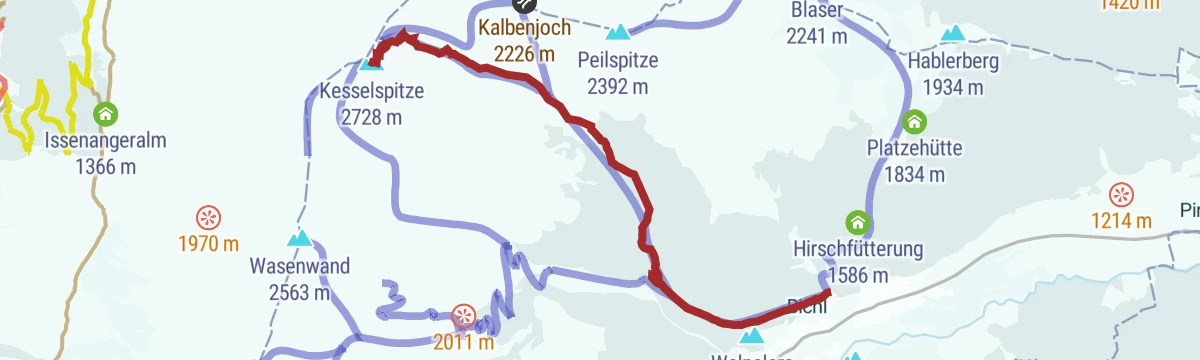
Kesselspitze (2.727 m)
Demanding ski ascent from Trins in the Gschnitztal, passing the Falschwernalm on the way to a 2,727 m summit; nearly 1,400 m of climbing earns a long open descent.
- 6.5 km
- Distance
- 1 399 m
- Ascent
- 1 399 m
- Descent
- 4 h 27 min
- Duration
- 1
- Check-ins
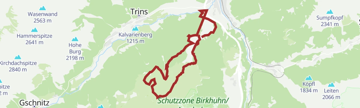
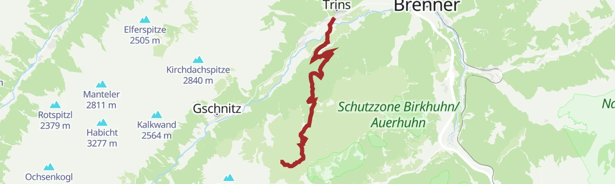
525 Mountainbike Trunahütte
A short forest-road climb from the ski lift at Trins up to the Trunahütte at 1,726 m, more than 500 m of ascent in 6 km.
- 6.2 km
- Distance
- 563 m
- Ascent
- 1 h 20 min
- Duration
- 7
- Check-ins
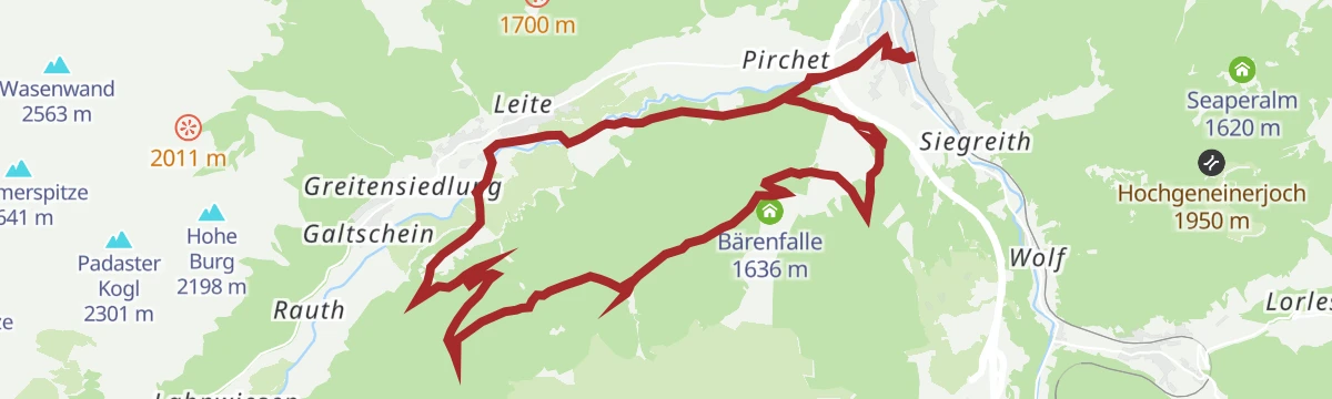
523 Mountainbike Blaser Rundtour
A circular mountain-bike tour past the Hirschfütterung deer feed to the hut below the Blaser, then back down to the Gschnitz valley.
- 18.0 km
- Distance
- 1 046 m
- Ascent
- 2 h 47 min
- Duration
- 12
- Check-ins
45 Gschnitztalradweg
A valley cycle route up the Gschnitztal from Trins to Gschnitz, passing the ski lift and the Kalvarienberg on the way.
- 14.6 km
- Distance
- 322 m
- Ascent
- 1 h 36 min
- Duration
- 8
- Check-ins
Energieweg Trins
Short themed loop at Trins over the Kalvarienberg, with stations along the way inviting walkers to slow down and recharge.
- 3.6 km
- Distance
- 102 m
- Ascent
- 1 h 5 min
- Duration
- 2
- Check-ins
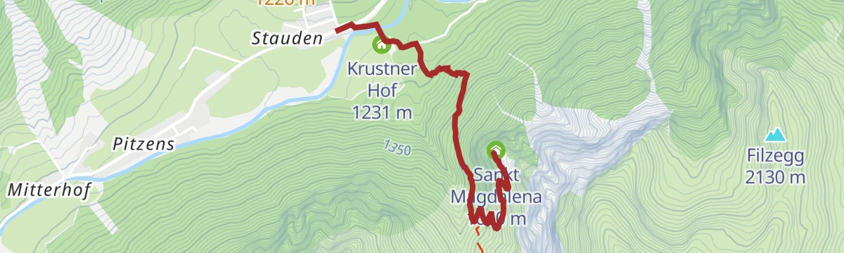
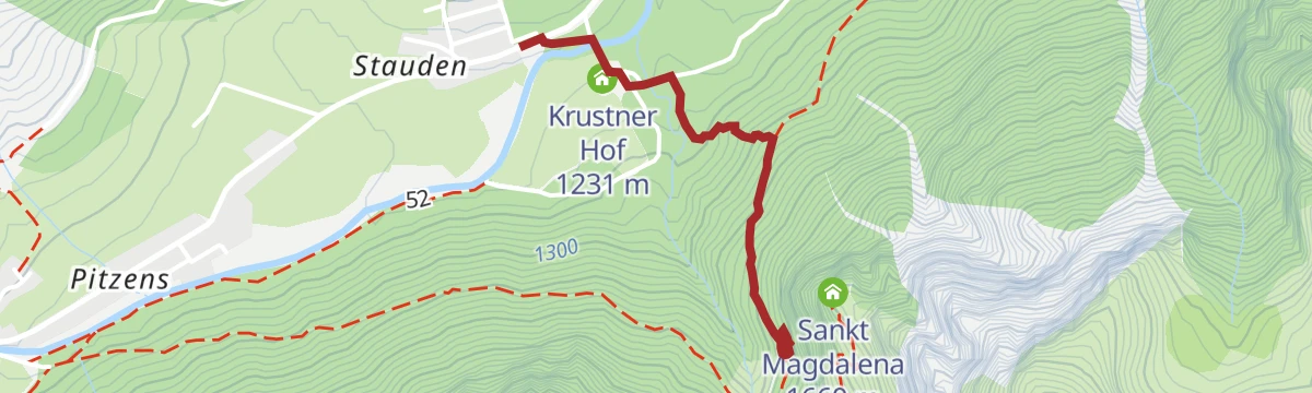
Zum Wallfahrtskirchlein St. Magdalena (1.661 m)
Steady 400 m climb from the Gschnitztal to the old pilgrimage chapel of St. Magdalena on its sunny 1,661 m shelf, with a jausenstation alongside for the break.
- 2.3 km
- Distance
- 434 m
- Ascent
- 2 h 26 min
- Duration
- 4
- Check-ins
Maria Waldrast - Kesselspitze
A long climb from Maria Waldrast over the Kalbenjoch onto the Kesselspitze, a quieter 2,700 m summit above the Serlesseen with wide views into the Wipptal.
- 14.3 km
- Distance
- 1 371 m
- Ascent
- 8 h 30 min
- Duration
- 29
- Check-ins
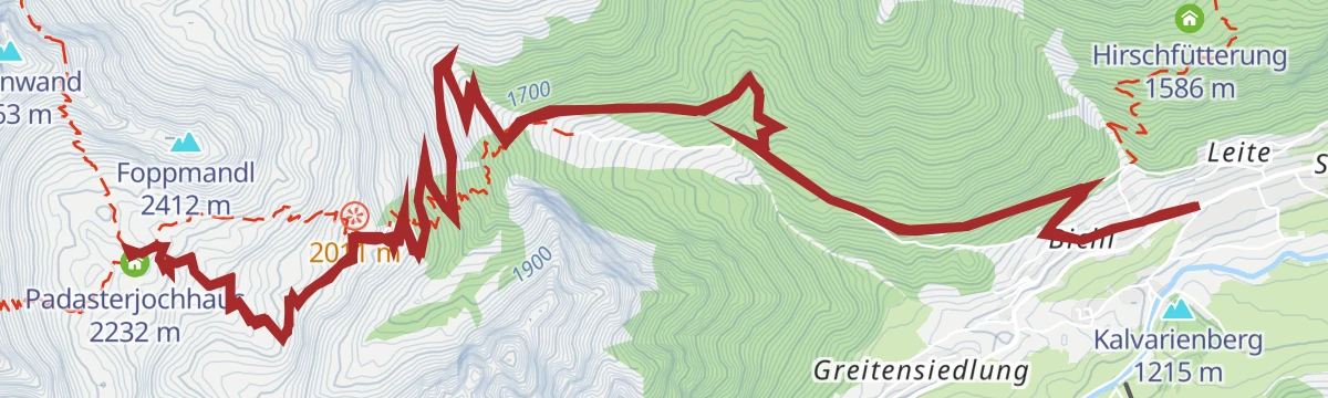
577 Mountainbike Padasterjochhaus
A demanding ascent out of Trins to the Padasterjochhaus at 2,232 m, packing over 1,000 m of climbing into 8 km of mountain track.
- 9.0 km
- Distance
- 1 081 m
- Ascent
- 2 h 27 min
- Duration
- 5
- Check-ins
St.Barbara Kapelle - Sarnthein Wasserfall in Trins
Short walk from Trins to the St. Barbara chapel and the Sarnthein waterfall, cresting the little Walpelers Bichl on the way.
- 2.5 km
- Distance
- 130 m
- Ascent
- 56 min
- Duration
- 2
- Check-ins
Kesselspitze - Peilspitze
Long ridge day above Trins linking two summits, with stops at the Blaser Hütte and the Padasterjochhaus and a crossing of the Kalbenjoch - a committing 1,800 m of ascent.
- 15.9 km
- Distance
- 1 790 m
- Ascent
- 10 h 47 min
- Duration
- 27
- Check-ins
ASA Alpine Safety Area
Short practice loop at the Alpine Safety Area near Gschnitz, where beginners can try secured steps and basic via-ferrata moves close to the Krustner Hof.
- 1.5 km
- Distance
- 240 m
- Ascent
- 1 h 22 min
- Duration
- 1
- Check-ins
Rundtour Ochsenalm-Peilspitze-Blaser
Round from the Matreier Ochsenalm over the Kalbenjoch to the Peilspitze, descending past the Blaser Hütte across the flower-rich slopes the Blaser is known for.
- 9.0 km
- Distance
- 910 m
- Ascent
- 5 h 35 min
- Duration
- 26
- Check-ins
Truna Wasserfall Runde
Easy loop from the St. Magdalena parking area to the Truna waterfall, with the Jausenstation Pumafalle for refreshments en route.
- 7.0 km
- Distance
- 212 m
- Ascent
- 2 h 10 min
- Duration
- 1
- Check-ins
Blaser Rundtour (2.241m)
Circuit onto the Blaser at 2,241 m, known for its early-summer flower meadows, with the Blaser Hütte just below the summit.
- 13.6 km
- Distance
- 1 076 m
- Ascent
- 6 h 57 min
- Duration
- 24
- Check-ins
barrierefreier Rundweg Lahnwiesen
Barrier-free loop through the Lahnwiesen meadows near Gschnitz, a level valley-floor round passing the Krustner Hof.
- 4.0 km
- Distance
- 62 m
- Ascent
- 1 h 6 min
- Duration
- 1
- Check-ins
Rundwanderung Trunahütte
Long circuit from the Bergeralm lift area to the Trunahütte and Gerichtsherrenalm, contouring high above Steinach with mostly gentle gradients.
- 15.9 km
- Distance
- 451 m
- Ascent
- 4 h 50 min
- Duration
- 21
- Check-ins
Ober'm Zaun
Gentle round on the meadow paths just above Trins, an easy hour's stroll with views across the Gschnitztal to the Tribulaun.
- 2.6 km
- Distance
- 95 m
- Ascent
- 51 min
- Duration
Rundtour Martairalm-Muttenjoch-Gstreinjöchl-Tribulaunhütte
Big Gschnitztal circuit from St. Magdalena over the Muttenjoch and Gstreinjöchl to the Tribulaunhaus, a full alpine day beneath the Tribulaun walls.
- 19.3 km
- Distance
- 1 557 m
- Ascent
- 10 h 1 min
- Duration
- 14
- Check-ins
Unter'm Dorf
Easy loop through the meadows below Trins village, a quiet round on farm lanes with Gschnitztal views in both directions.
- 4.0 km
- Distance
- 107 m
- Ascent
- 1 h 11 min
- Duration
Rötenspitze über Trunajoch (2.481 m)
Climb from Trins via the Trunahütte and Trunajoch onto the Rötenspitze at 2,481 m, a steady 1,300 m ascent on the Gschnitztal's sunny side.
- 11.6 km
- Distance
- 1 310 m
- Ascent
- 7 h 53 min
- Duration
- 13
- Check-ins
Blaser (2.241 m) vom Bhf Steinach
Train-to-summit route starting right at Steinach station and climbing nearly 1,200 m to the Blaser, the Wipptal's noted flower mountain.
- 7.5 km
- Distance
- 1 199 m
- Ascent
- 6 h 51 min
- Duration
- 12
- Check-ins
Zustieg zur Blaser Hütte
Hut approach from Trins to the Blaser Hütte, a long, steady climb past the Platzehütte with wide views over the Gschnitztal.
- 5.3 km
- Distance
- 962 m
- Ascent
- 5 h 25 min
- Duration
- 12
- Check-ins
🌟 Gschnitztaler Hüttenstern Blaserhütte
Hüttenstern stage from the Gschnitztal to the Blaser Hütte, climbing nearly 1,000 m as part of the valley's star of hut routes.
- 15.2 km
- Distance
- 958 m
- Ascent
- 6 h 33 min
- Duration
- 12
- Check-ins
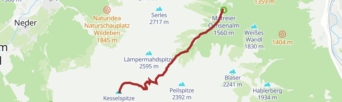
Kesselspitze (2.728 m)
Steep, rewarding climb from the Matreier Ochsenalm over the Kalbenjoch onto the Kesselspitze, one of the Wipptal's great viewpoint summits at 2,728 m.
- 5.6 km
- Distance
- 1 169 m
- Ascent
- 6 h 29 min
- Duration
- 10
- Check-ins
Issenangeralm - Padasterjochhaus - Kampl über die Wasenwand
A hard climb above Trins from the Issenangeralm to the Padasterjochhaus, then over the Wasenwand and the Roter Kopf on the way out.
- 11.1 km
- Distance
- 1 691 m
- Ascent
- 9 h 44 min
- Duration
- 8
- Check-ins
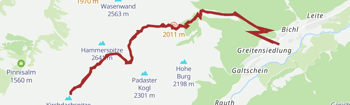
Kirchdachspitze (2.840 m) von Trins
Long, demanding ascent from Trins via the Padasterjochhaus and Silbersattel to the Kirchdachspitze at 2,840 m, one of the Gschnitztal's defining summits.
- 17.3 km
- Distance
- 1 692 m
- Ascent
- 10 h 27 min
- Duration
- 7
- Check-ins
Pinnisalm - Kirchdach - Padasterjochhaus - Hammerspitze - Issenangeralm
A demanding round above Trins that crosses the Silbersattel at 2,750 m, with the Padasterjochhaus and the Issenangeralm along the way.
- 10.6 km
- Distance
- 1 528 m
- Ascent
- 8 h 52 min
- Duration
- 7
- Check-ins
🌟 Gschnitztaler Hüttenstern Padasterjochhaus
Hüttenstern route to the Padasterjochhaus, a long approach from the Gschnitztal to the hut in its high basin above Trins.
- 16.8 km
- Distance
- 1 022 m
- Ascent
- 7 h 4 min
- Duration
- 5
- Check-ins
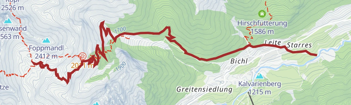
Foppmandl (2.412m)
Steep ascent from Trins onto the Foppmandl at 2,412 m, gaining nearly 1,200 m in under four kilometres of climbing.
- 7.8 km
- Distance
- 1 172 m
- Ascent
- 6 h 45 min
- Duration
- 4
- Check-ins
No routes of this kind in Trins yet.
The region's own picks

Featured route
Gstrein Runde in Trins
Short, nearly flat circuit on the sunny side of Trins, starting at the Liftstüberl car park by the village ski lift - a relaxed meadow walk in the Gschnitztal.
Planning a trip to Trins?
Everything else Tyrol has, in one place


Take Trins with you into the mountains
Every route on this page with 3D terrain, GPX navigation and offline maps — including the valleys with no signal.
Data sources
- Official website: wipptal.at ↗
- Routes and highlights: Wipptal Tourismus, Tourismusverband Stubai Tirol
- Published as open data by the tourist boards named above.
- Region summary generated from the board's own material.
