
 Viewpoint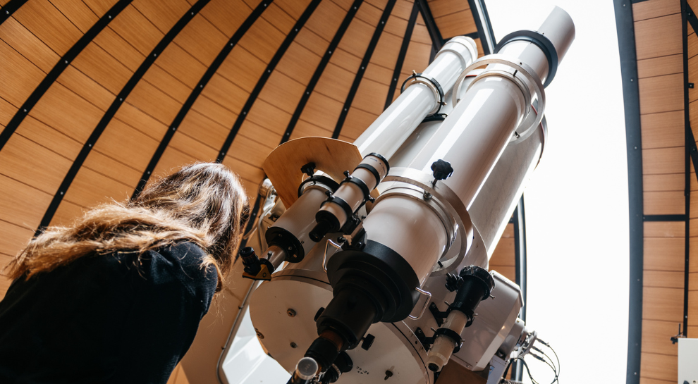
 Historic site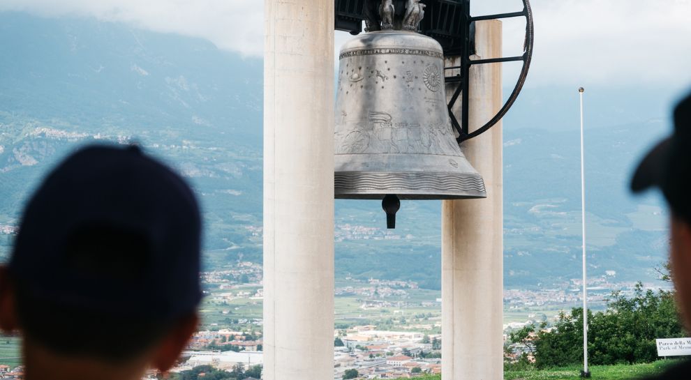






Curated by Visitrovereto
Trambileno
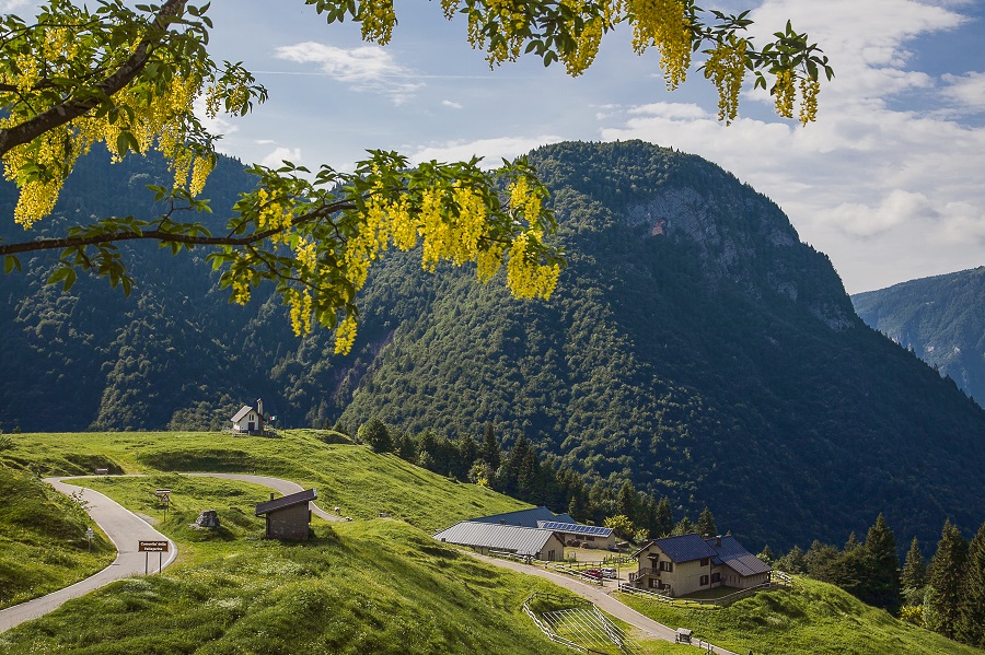
Hamlets on the slopes above Rovereto at the mouth of the Vallarsa, below the Pasubio and the San Colombano hermitage.
- 4Highlights
- 17Routes
- Featured summit · Cima Palon
Highlights
11 from neighbouring places
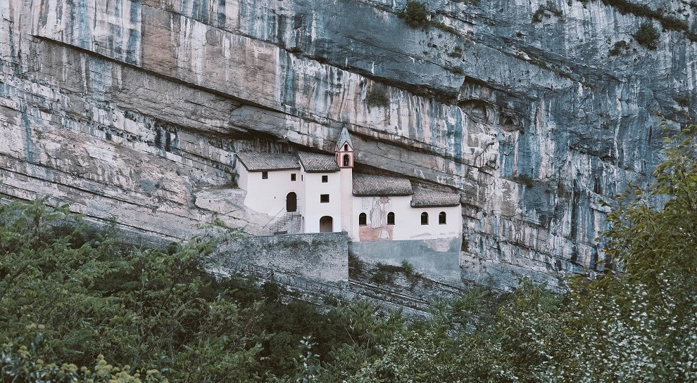
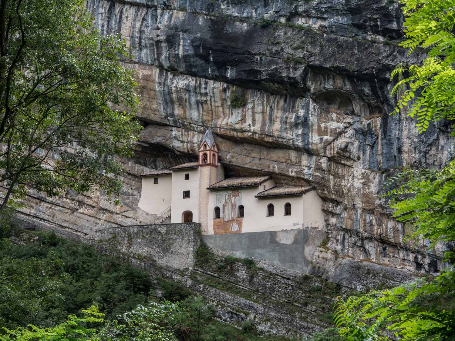
Eremo di San Colombano
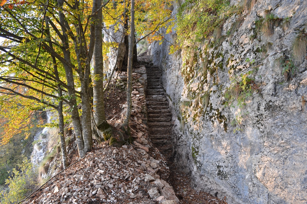
A hermitage set against the rock above Trambileno, reached by 102 steps from the Leno gorge.
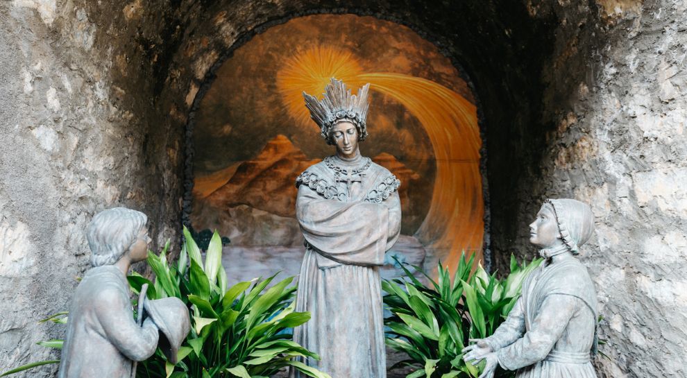
Santuario Madonna de La Salette
A pilgrimage church at Trambileno dedicated to Our Lady of La Salette, founded on donations from returning emigrants.
Trambileno, zwischen Fort und Wallfahrtskirche
The war sites and pilgrimage churches of Trambileno, on the First World War lines above Rovereto.
Forra del Lupo
5.4 km away, in Terragnolo
A restored Austrian trench line cut along a gorge wall above Terragnolo, walkable end to end.
Malga Borcola
5.9 km away, in Terragnolo
A dairy hut at the Borcola pass above Terragnolo, on the old Tyrolean frontier.
Sternwarte
6.1 km away, in Rovereto
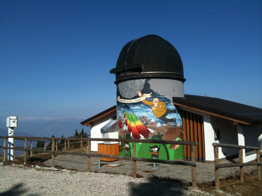
An observatory on the ridge south of Rovereto, open for public evenings.
Osservatorio astronomico
6.1 km away, in Rovereto
An astronomical observatory on the ridge above Rovereto, run as part of the town's civic museum foundation.
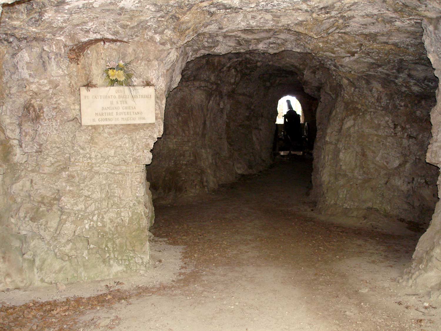
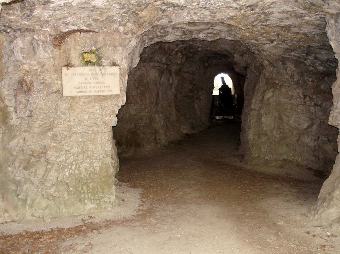
Caverna Damiano Chiesa
7.4 km away, in Rovereto
A wartime gallery cut into the rock near Rovereto, named for the Trentino irredentist executed in 1916.
Höhle Damiano Chiesa
7.4 km away, in Rovereto
A First World War cavern in the hills above Rovereto, named after Damiano Chiesa, the Rovereto artillery officer executed in 1916.
Die Leno Bergseen
7.8 km away, in Rovereto
Pools in the Leno gorge above Rovereto, reached by a path along the stream.
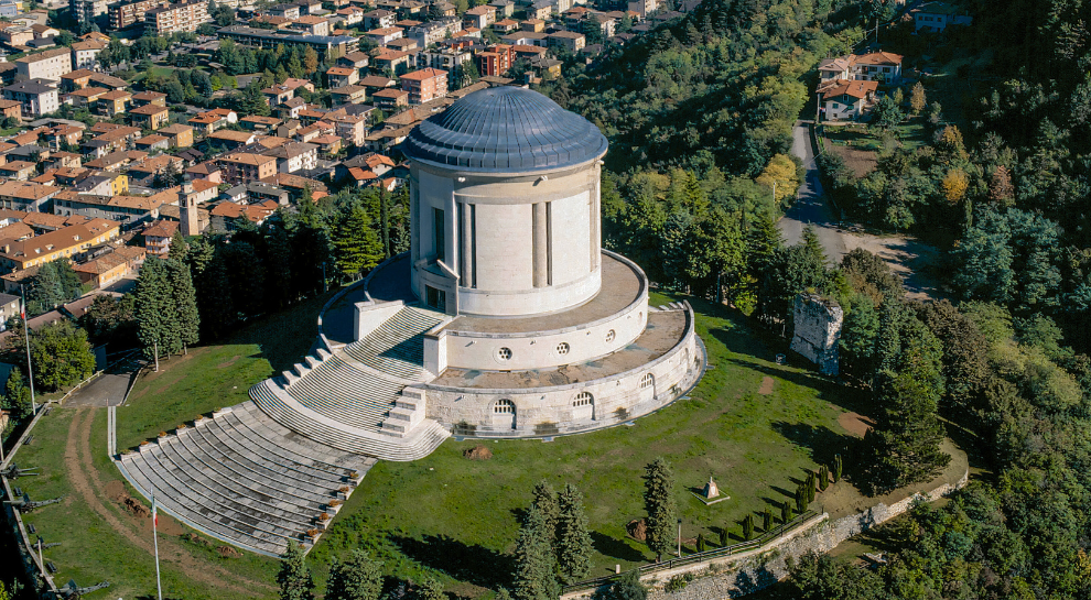
Sacrario monumentale di Castel Dante
8.3 km away, in Rovereto
A First World War ossuary on the Castel Dante hill in Rovereto, holding the remains of Italian and Austro-Hungarian soldiers.
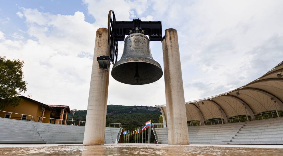
Campana dei Caduti
8.3 km away, in Rovereto
A bell cast from the bronze of First World War guns, rung each evening above Rovereto for the fallen.
Friedensglocke
8.3 km away, in Rovereto
The Bell of the Fallen above Rovereto, cast from wartime cannon and tolled at nightfall.
Nothing of this kind in Trambileno.
Routes
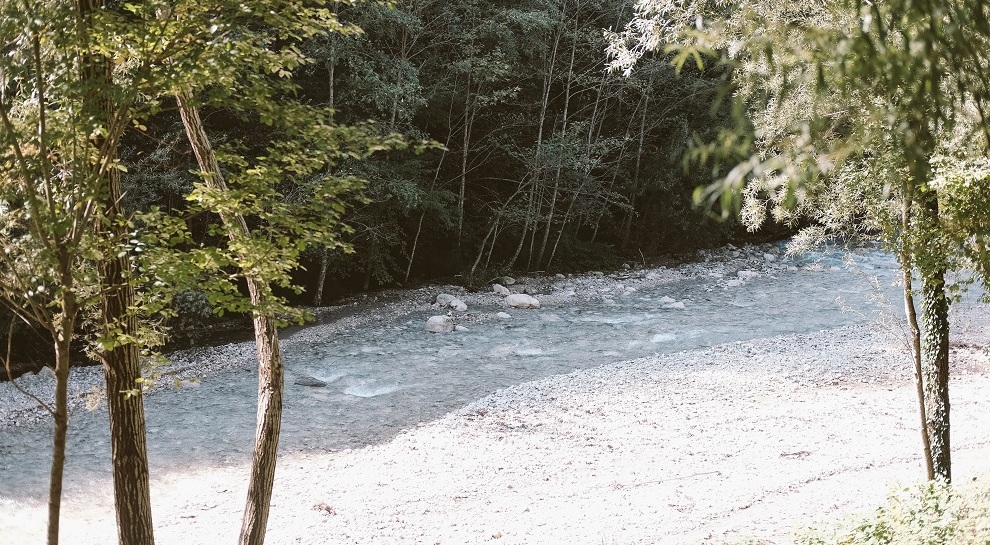
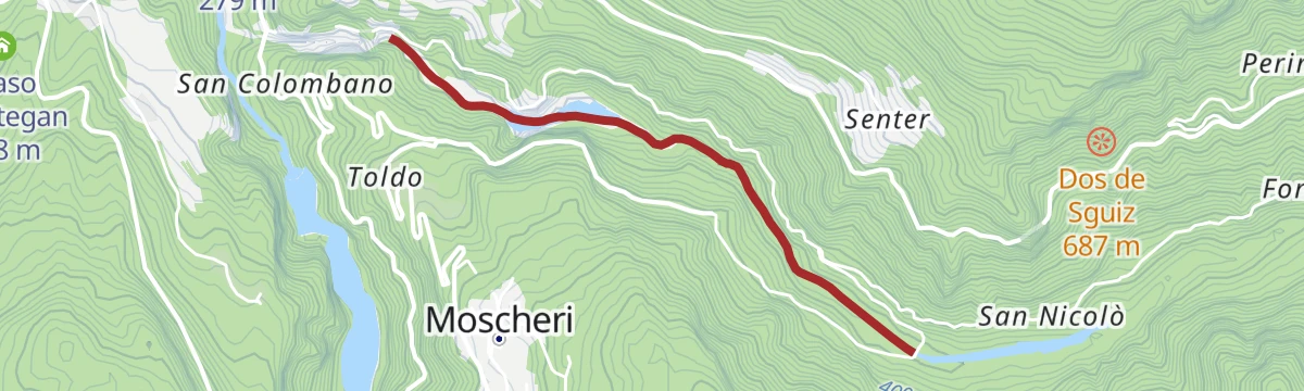
Torrente Leno M
A short streamside walk along the Leno at Trambileno, below Rovereto.
- 1.9 km
- Distance
- 17 m
- Ascent
- 32 min
- Duration
- 5
- Check-ins
 Pescicoltura 211 m
 Genovesa 279 m
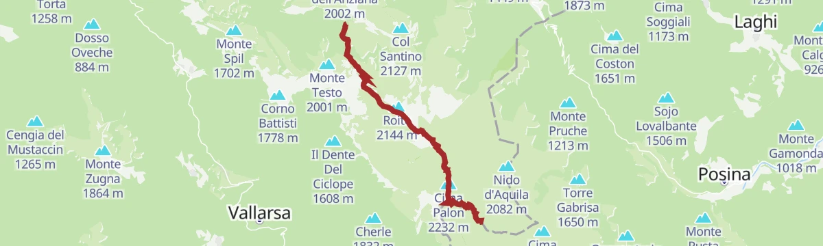
Open route Trentino FishingSentiero della Pace 20: Rifugio Achille Papa to Rifugio Vincenzo Lancia
A crossing of the Pasubio from the monumental area with its Roman arch and memorial chapel, by Selletta Comando and its trenches, to the Lancia hut.
- 7.8 km
- Distance
- 351 m
- Ascent
- 2 h 54 min
- Duration
- 328
- Check-ins
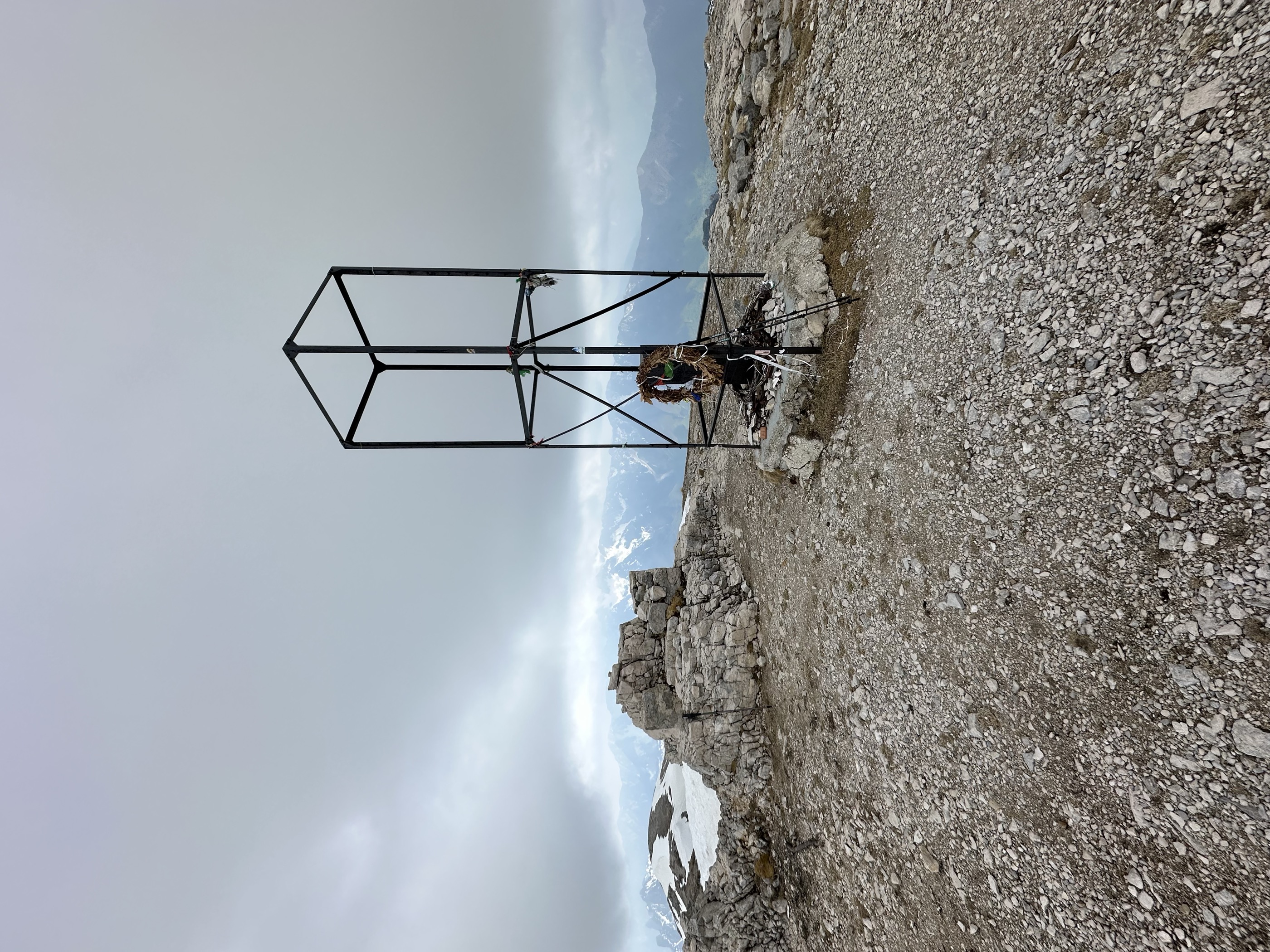
 Cima Palon 2 232 m
- Dente Italiano 2 220 m
- Denti del Cogolo 2 199 m
- Dente Austriaco 2 203 m
- Soglio Degli Eroi 2 105 m
- Rifugio Achille Papa 1 929 m
- +8
Open route APT Rovereto Vallagarina Monte BaldoThe "Strada delle 52 Gallerie" trail
A climb up the wartime tunnel road on the Pasubio, from Bocchetta Campiglia through galleries cut in rock to Rifugio Achille Papa.
- 10.4 km
- Distance
- 1 069 m
- Ascent
- 6 h 33 min
- Duration
- 510
- Check-ins
- Cimon del Soglio Rosso 2 040 m
- Cima dell'Osservatorio 2 027 m
- Guglia del Giazzetto 1 945 m
- Laste dei Pulmini 1 828 m
- Guglia Isabella 1 841 m
- Guglia Bacio 2 033 m
- +6
Open route APT Rovereto Vallagarina Monte BaldoVallarsa Ring: in the shadow of Piccole Dolomiti
A hard circuit up the Vallarsa hairpins to Pian delle Fugazze and Passo di Campogrosso, finishing at the refuge under the Piccole Dolomiti.
- 93.3 km
- Distance
- 3 527 m
- Ascent
- 11 h 36 min
- Duration
- 228
- Check-ins
- Rifugio Campogrosso 1 456 m
 Pian delle Fugazze 1 163 m
- Passo di Campogrosso 1 453 m
- Albergo al Passo 1 170 m
- Miramonti 1 160 m
- MB Ristoro "Magna & bevi" 1 182 m
- +14
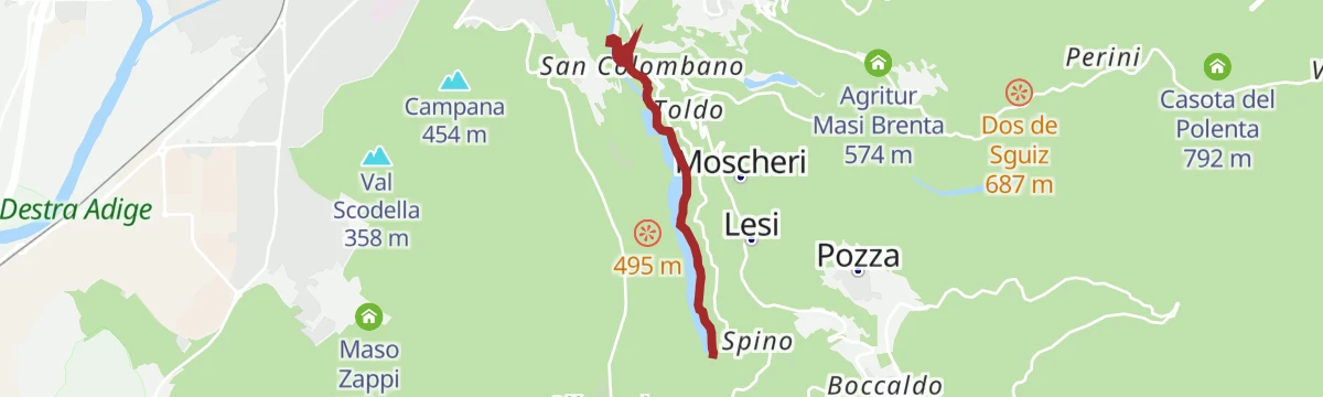
Open route APT Rovereto Vallagarina Monte BaldoBacino di San Colombano N
A short route around the San Colombano reservoir on the Leno below Trambileno.
- 3.9 km
- Distance
- 283 m
- Ascent
- 1 h 52 min
- Duration
- 1
- Check-ins
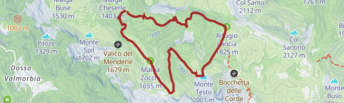
From Pian del Keserle to Rifugio Lancia passing from Malga Zocchi
A walk through beech wood to the meadow at Malga Zocchi and over Monte Testo, where Austro-Hungarian works remain, to the Lancia hut.
- 8.1 km
- Distance
- 528 m
- Ascent
- 3 h 35 min
- Duration
- 35
- Check-ins
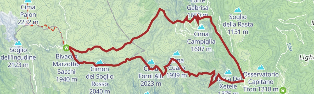
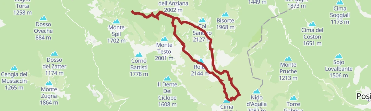
Open route APT Rovereto Vallagarina Monte BaldoLoop tour to the Austrian and Italian Tooth
A round on the Pasubio from Pian del Keserle, once the Austro-Hungarian rear, through Alpe Pozze and the Groviglio battleground to the two opposing Teeth.
- 18.2 km
- Distance
- 902 m
- Ascent
- 6 h 37 min
- Duration
- 140
- Check-ins
- Cima Palon 2 232 m
- Dente Italiano 2 220 m
- Dente Austriaco 2 203 m
- Campiluzzi 2 041 m
- Selletta Damaggio 2 175 m
- Rifugio Lancia 1 825 m
- +9
Open route APT Rovereto Vallagarina Monte BaldoFolgaria - Arsiero - Posina - Xomo Pass - Pian delle Fugazze Pass - Vallarsa - Noriglio - Terragnolo - Serrada
A very long road circuit from Folgaria over the Sommo, Xomo and Pian delle Fugazze passes, back by Terragnolo.
- 105.2 km
- Distance
- 3 492 m
- Ascent
- 12 h 37 min
- Duration
- 183
- Check-ins
- Pian delle Fugazze 1 163 m
- Albergo al Passo 1 170 m
- Miramonti 1 160 m
- MB Ristoro "Magna & bevi" 1 182 m
- Rifugio Passo Xomo 1 062 m
- Passo Sommo 1 341 m
- +16
Open route Azienda per il Turismo Alpe CimbraHermitage and Lake of San Colombano
A walk up 102 steps cut in the rock to the hermitage of San Colombano, lodged in a cliff face since about 700, then on to the lake below.
- 6.2 km
- Distance
- 232 m
- Ascent
- 2 h 1 min
- Duration
- 1
- Check-ins
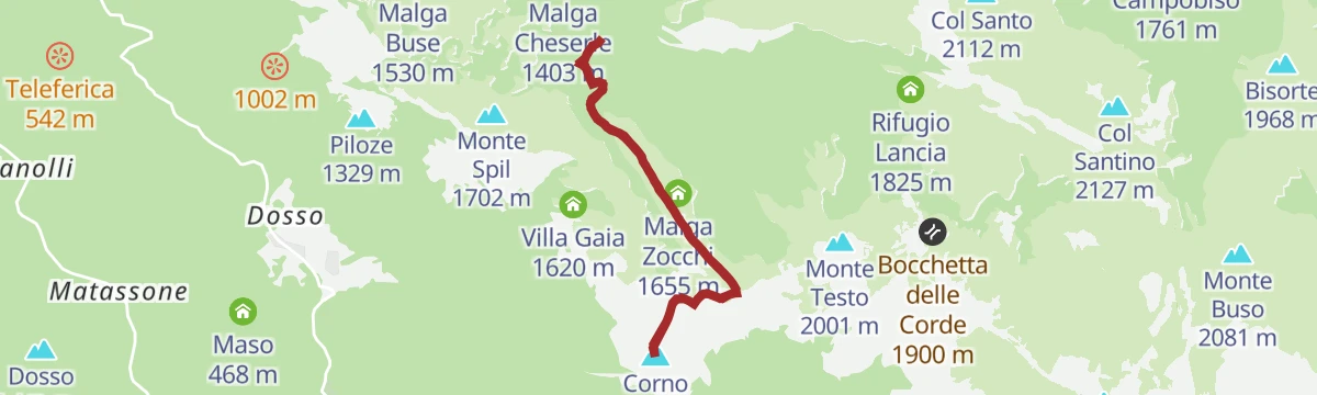
Open route APT Rovereto Vallagarina Monte BaldoMount Corno Battisti
A climb to Corno Battisti on the Pasubio, a hill so worked over by both armies that it amounts to one continuous military structure.
- 6.3 km
- Distance
- 409 m
- Ascent
- 2 h 46 min
- Duration
- 35
- Check-ins
Open route APT Rovereto Vallagarina Monte BaldoSentiero della Pace 21: Rifugio Vincenzo Lancia to Passo Coe
A peace trail stage from the Lancia hut by the Sella delle Pozze into the Zuccaria valley, joining the E5 towards the Borcola pass.
- 17.9 km
- Distance
- 1 044 m
- Ascent
- 7 h 41 min
- Duration
- 59
- Check-ins
- Monte Maggio 1 852 m
- Coston dei Laghi 1 873 m
- Monte Borcoletta 1 815 m
- Rifugio Lancia 1 825 m
- Sella delle Pozze 1 903 m
- Malga Pozze 1 828 m
- +2
Open route APT Rovereto Vallagarina Monte BaldoTorrente Leno NKE
A short easy walk beside the Leno stream at Trambileno, on the valley floor below the slopes of the Pasubio.
- 2.2 km
- Distance
- 65 m
- Ascent
- 37 min
- Duration
Open route Trentino FishingTorrente Leno di Vallarsa F
A walk along the Leno di Vallarsa stream near Trambileno, following the valley past a farmstead with only moderate climbing.
- 11.3 km
- Distance
- 399 m
- Ascent
- 3 h 21 min
- Duration
Open route Trentino FishingTour of the "Malghe" of Pasubio | 2910
A long loop through the Pasubio pastures above Trambileno, past relics of the First World War, with the Lancia hut and Malga Valli open for a stop in summer.
- 23.0 km
- Distance
- 905 m
- Ascent
- 7 h 38 min
- Duration
- 29
- Check-ins
- Rifugio Lancia 1 825 m
- Sella delle Pozze 1 903 m
- Malga Pozze 1 828 m
- Malga Cheserle 1 403 m
- Malga Costoni 1 639 m
- Malga Valli 1 514 m
- +1
Open route APT Rovereto Vallagarina Monte BaldoTorrente Leno di Terragnolo E bassa
A short streamside walk along the lower Leno di Terragnolo, on the valley floor at Trambileno below the Pasubio.
- 2.8 km
- Distance
- 148 m
- Ascent
- 56 min
- Duration
Open route Trentino FishingTrambileno-Pozzacchio | 2912
A route from the Madonna della Salette sanctuary up to Forte Pozzacchio, passing Pian del Levro and Pozza di Trambileno.
- 15.0 km
- Distance
- 784 m
- Ascent
- 5 h 39 min
- Duration
Open route APT Rovereto Vallagarina Monte BaldoPasubio-Terragnolo | 2911
A link between the Pasubio hut circuit and the Terragnolo valley, on paths cut by soldiers during the First World War.
- 16.5 km
- Distance
- 276 m
- Ascent
- 5 h 29 min
- Duration
- 3
- Check-ins
- Passo Lucco 1 373 m
- Malga Bisorte 1 558 m
- Bivacco Bisorte 1 565 m
- Malga Sarta 1 291 m
- Il Masetto 848 m
- Leno di Terragnolo 666 m
- +2
Open route APT Rovereto Vallagarina Monte Baldo
No routes of this kind in Trambileno yet.
The region's own picks

Planning a trip to Trambileno?
Everything else Trentino-Alto Adige/Südtirol has, in one place


Take Trambileno with you into the mountains
Every route on this page with 3D terrain, GPX navigation and offline maps — including the valleys with no signal.
Data sources
- Official website: visitrovereto.it ↗
- Routes and highlights: Visitrovereto, APT Rovereto Vallagarina Monte Baldo, Trentino Fishing, Visit Trentino, Azienda per il Turismo Alpe Cimbra
- Published as open data by the tourist boards named above.
- Region summary generated from the board's own material.
