
Curated by Visitbrescia
Toscolano-Maderno
Two Garda lakeside villages north of Salò, with the paper-mill gorge of the Valle delle Cartiere behind them.
- 2Highlights
- 3Routes
- Featured summit · Falesia del Passo dello Spino
Highlights
1 from neighbouring places
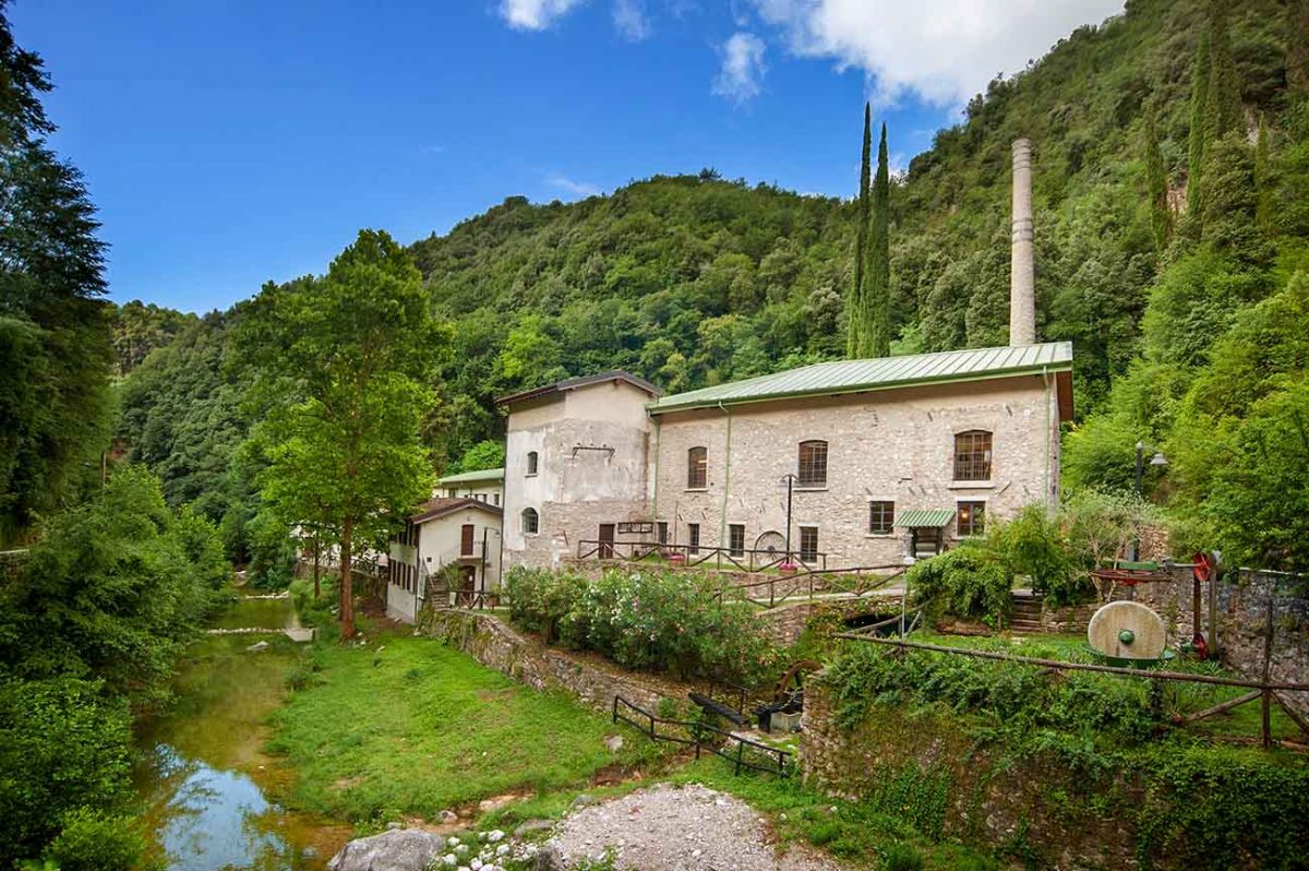
Das Papiermuseum und das Tal der Papierfabriken
The paper museum in the Valle delle Cartiere above Toscolano, a gorge worked for paper from the fourteenth century.
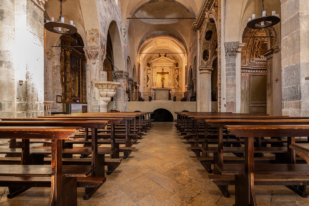
Chiesa Monumentale di Sant’Andrea
A Romanesque church at Maderno on Lake Garda, Lombard in plan with Veronese detail, reusing Roman columns.
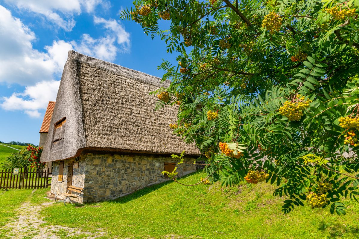
Ethnographisches Museum von Valvestino
13.7 km away, in Magasa
A museum of Valvestino history and tradition at Magasa, housed in one of the old hay barns of the Cima Rest plateau.
Nothing of this kind in Toscolano-Maderno.
Routes
6 from neighbouring places
Il Rifugio Solidale, Pirlo allo Spino
A long climb from Toscolano-Maderno by the old hamlet of Gaino to Archesane and the Pirlo hut at the Passo dello Spino, with Lake Garda below.
- 26.4 km
- Distance
- 1 380 m
- Ascent
- 9 h 57 min
- Duration
- 59
- Check-ins
Gardone Riviera in MTB
A loop on the hills above Lake Garda that follows the course of the Dannunzio Bike race, crossing Passo La Stacca before dropping back to the shore.
- 41.8 km
- Distance
- 1 303 m
- Ascent
- 4 h 56 min
- Duration
- 16
- Check-ins
In Val di Campei al Rifugio Giuseppe Granata
A long ride into the Val di Campei in the Valvestino, a little-known valley above Lake Garda below Monte Pizzoccolo, ending at the Granata hut.
- 29.1 km
- Distance
- 1 336 m
- Ascent
- 3 h 50 min
- Duration
- 8
- Check-ins
Percorso del Carbonaio
9.5 km away, in Valvestino
The charcoal burners' route from Bollone in the Valvestino, over Monte Pallotto and Monte Vesta where the poiàt kilns once smoked.
- 9.4 km
- Distance
- 667 m
- Ascent
- 4 h 25 min
- Duration
- 5
- Check-ins
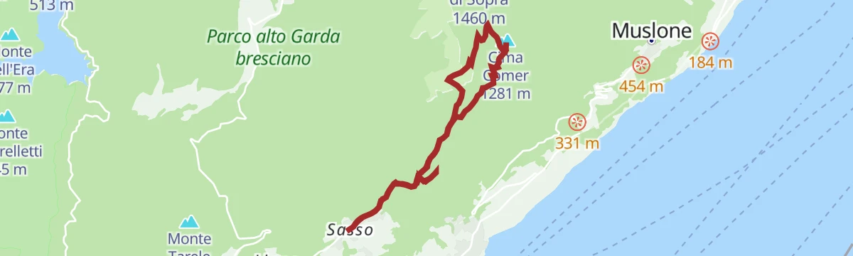
Cima Comer, dove migrano i rapaci
4.6 km away, in Gargnano
A long climb from Gargnano to Cima Comer, a modest peak on the west shore of Lake Garda watched by birdwatchers during the raptor migration.
- 8.1 km
- Distance
- 1 727 m
- Ascent
- 9 h 33 min
- Duration
- 31
- Check-ins
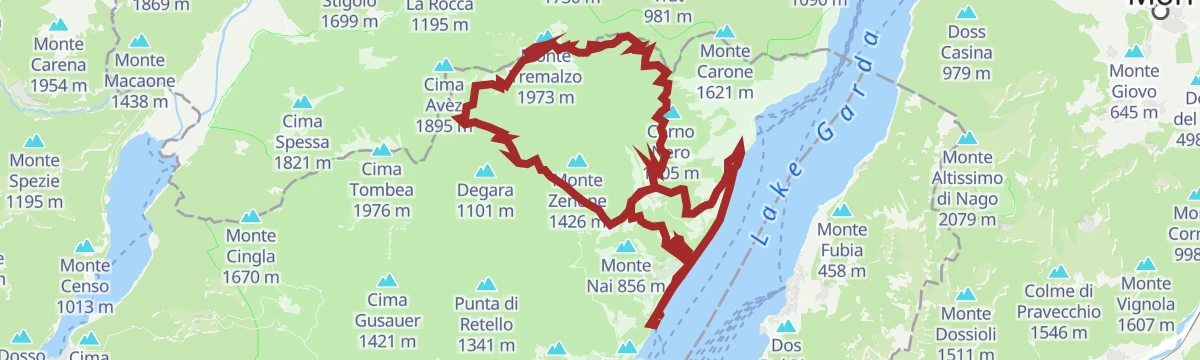
L’anello del Tremalzo
14.6 km away, in Tremosine sul Garda
A long gravel circuit from the shore of Lago di Garda up to the Passo di Tremalzo and Passo Nota, with more than 2,000 m of climbing.
- 68.4 km
- Distance
- 2 069 m
- Ascent
- 8 h 1 min
- Duration
- 106
- Check-ins
Percorsi dei Malgari
11.6 km away, in Valvestino
A walk on the old herders' tracks of the Valvestino, past grazing cattle and dairies that make Tombea cheese.
- 9.4 km
- Distance
- 446 m
- Ascent
- 3 h 18 min
- Duration
- 24
- Check-ins
Percorsi antichi mestieri del bosco
11.8 km away, in Valvestino
A steep climb above Valvestino to the Cima Gusauer, on paths that served the old forest trades of the valley.
- 18.4 km
- Distance
- 1 082 m
- Ascent
- 7 h 34 min
- Duration
- 15
- Check-ins
Il Rifugio Stino vicino alle trincee della Grande Guerra
12.4 km away, in Capovalle
A historical route around Capovalle along a First World War defence line, past mule tracks, gun positions, tunnels and trenches, to the Rifugio Stino.
- 6.9 km
- Distance
- 440 m
- Ascent
- 2 h 60 min
- Duration
- 17
- Check-ins




No routes of this kind in Toscolano-Maderno yet.
The region's own picks

Featured route
Il Rifugio Solidale, Pirlo allo Spino
A long climb from Toscolano-Maderno by the old hamlet of Gaino to Archesane and the Pirlo hut at the Passo dello Spino, with Lake Garda below.
Planning a trip to Toscolano-Maderno?
Everything else Lombardy has, in one place


Take Toscolano-Maderno with you into the mountains
Every route on this page with 3D terrain, GPX navigation and offline maps — including the valleys with no signal.
Data sources
- Official website: gardalombardia.com ↗
- Routes and highlights: Visitbrescia, in Lombardia, Visitvalvestino
- Published as open data by the tourist boards named above.
- Region summary generated from the board's own material.
