
 Historic site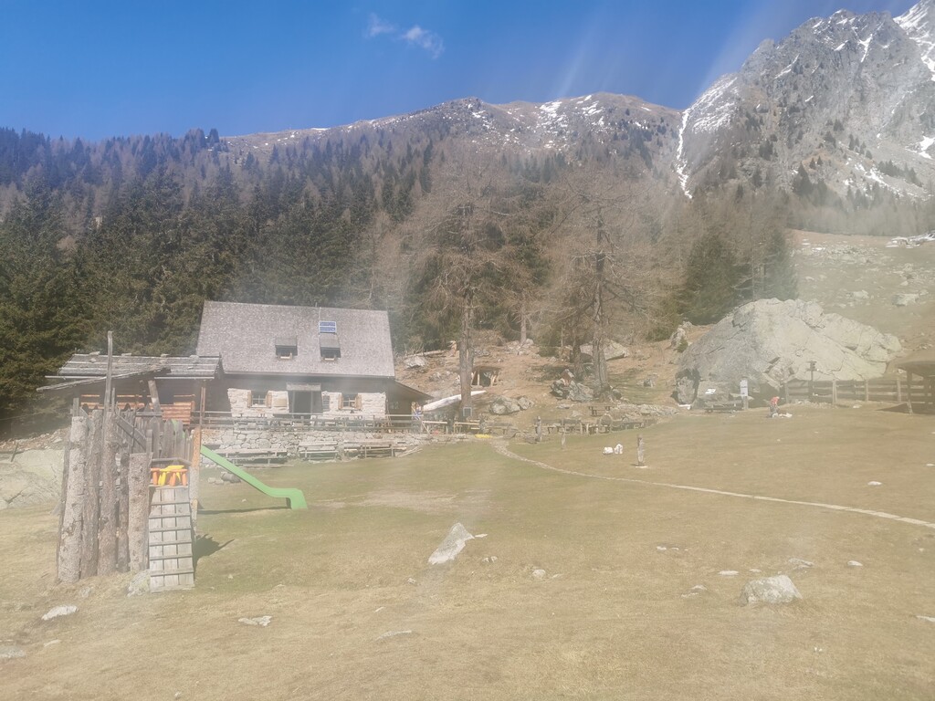




















Curated by Partschins - Rabland - Töll
Tirolo/Tirol
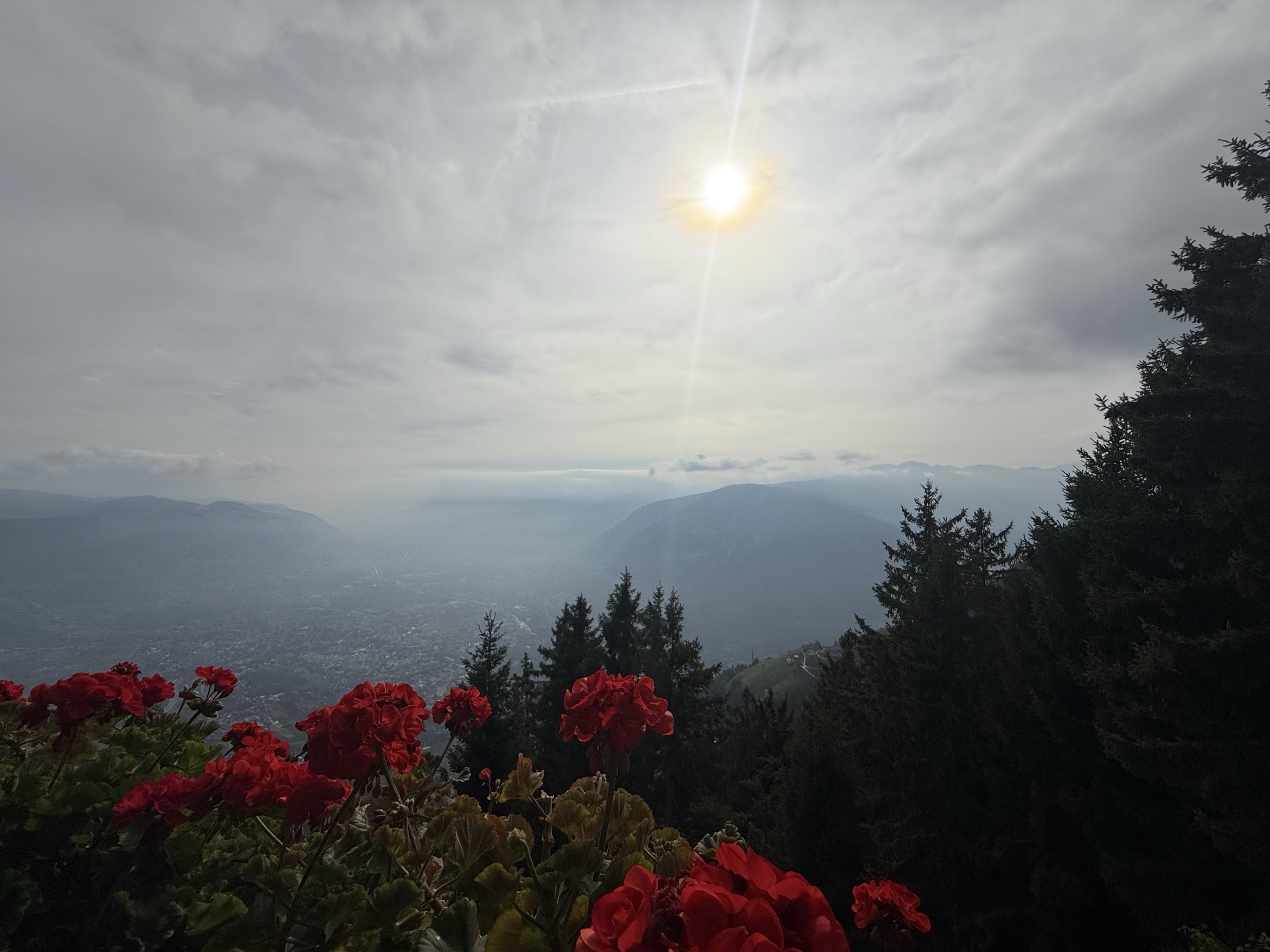
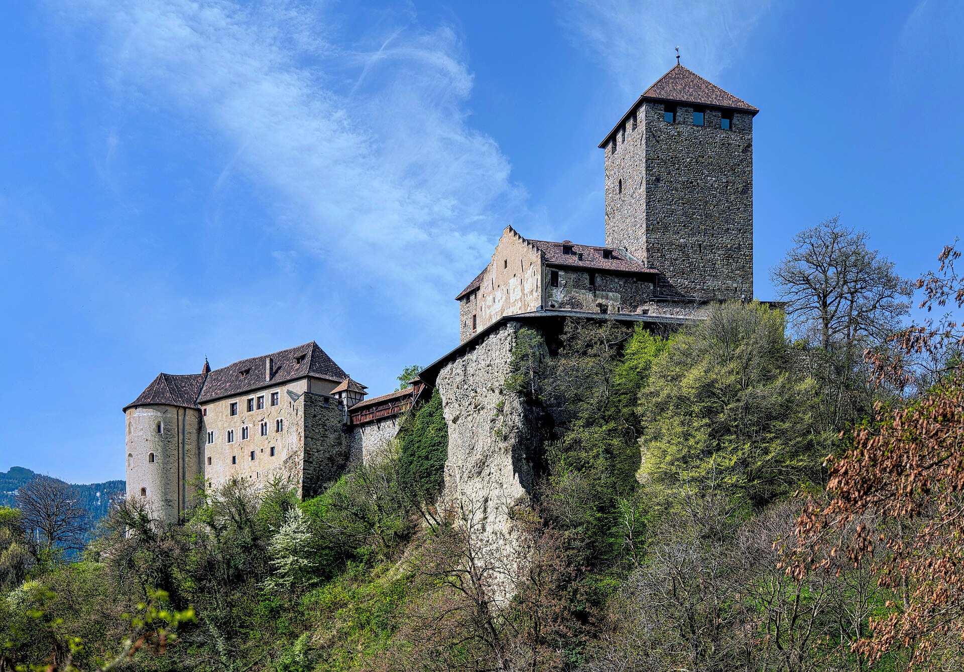
Village above Merano named for the castle that gave Tyrol its name, with the Hochmuth viewing platform and the Sopranes lakes above.
Photo: Rolf Kranz · CC BY-SA 4.0 licence
- 1Highlights
- 44Routes
- Featured summit · Mutkopf
Highlights
14 from neighbouring places
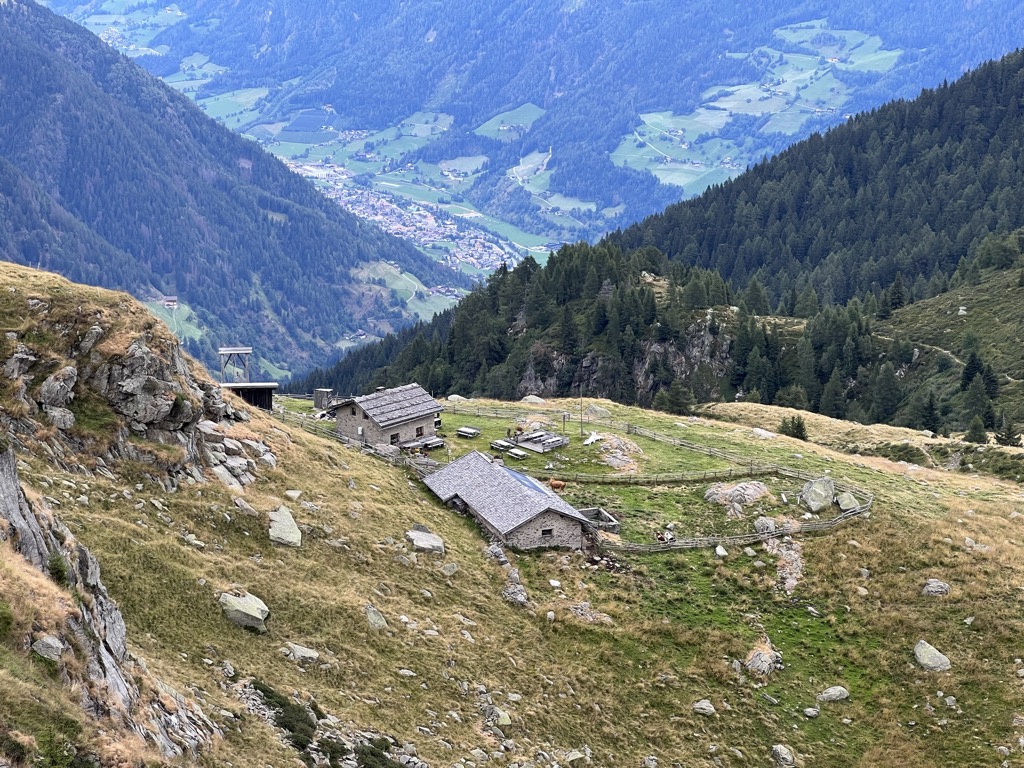
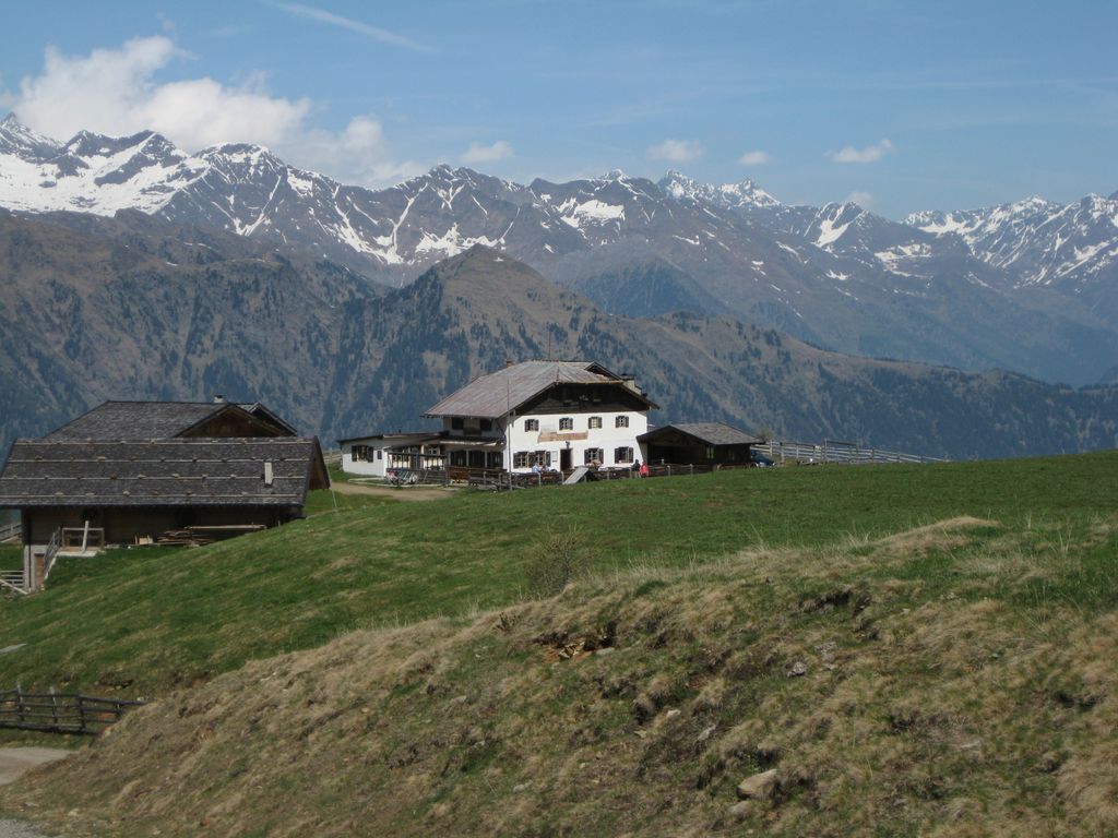
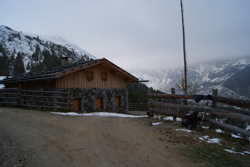
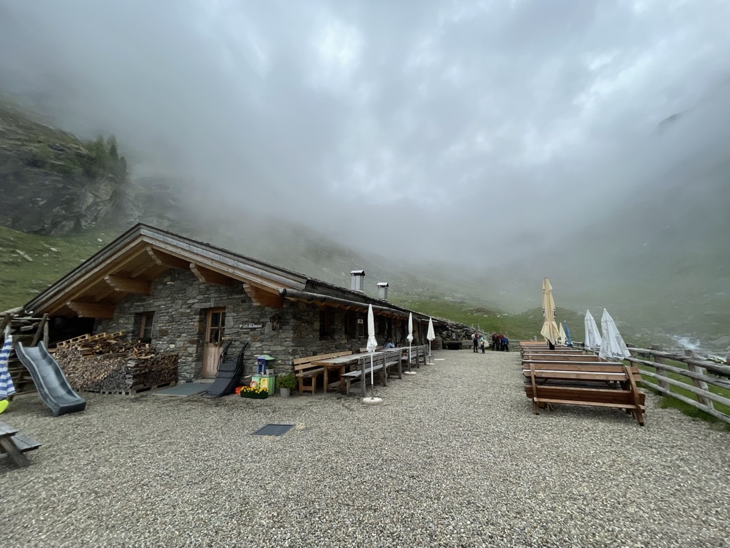
Malga Oberkaser
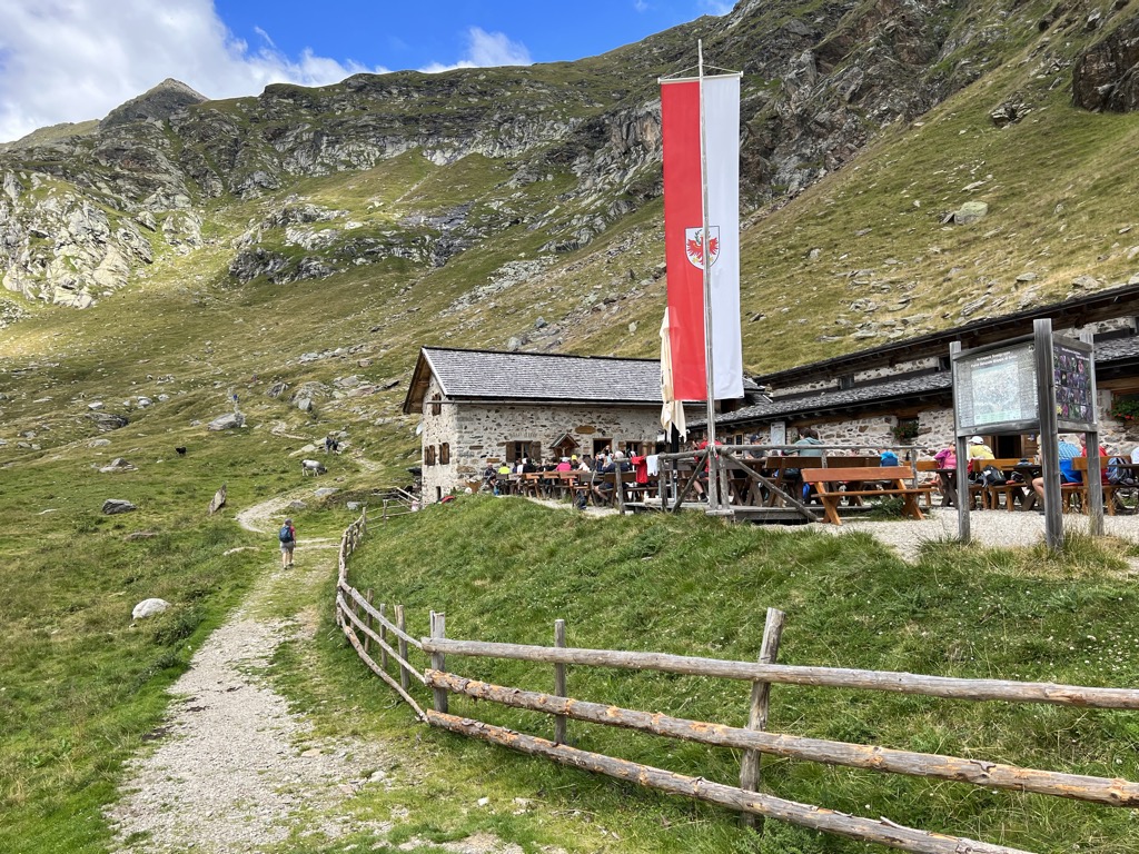
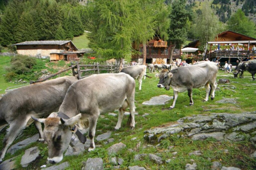
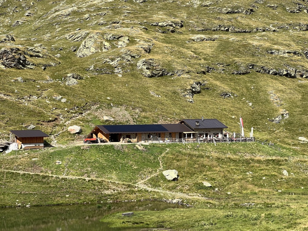
A dairy hut on the pastures above Tirolo, at the southern edge of the Gruppo di Tessa nature park north of Merano.
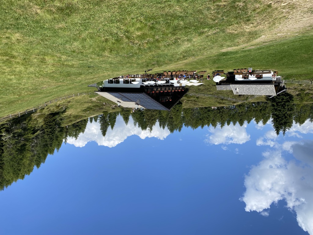
Sterzing, Pfitsch und FreienfeldBerg-Gasthof Leiteralm-Schutzhaus
2.6 km away, in Lagundo/Algund
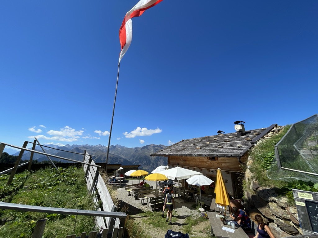
A mountain inn on the Leiter Alm above Lagundo, on the Texel slopes reached from Vellau by lift or by the path from the village.
Sterzing, Pfitsch und FreienfeldMalga Obisell Alm
3.6 km away, in Rifiano/Riffian
A dairy hut on the grazing slopes above Rifiano, below the Hirzer ridge on the east side of the Val Passiria.
Sterzing, Pfitsch und FreienfeldTerme Merano
4.6 km away, in Merano/Meran
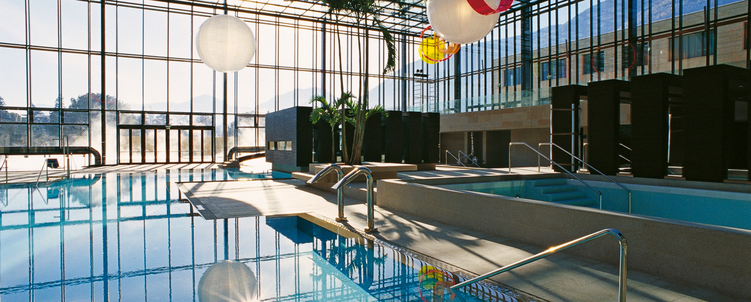
Thermal pools in Merano under a glass cube by Matteo Thun, with a park along the Passirio.
Malga Faglsalm
4.6 km away, in Rifiano/Riffian
A dairy hut on the pastures above Rifiano, at the mouth of the Val Passiria north of Merano.
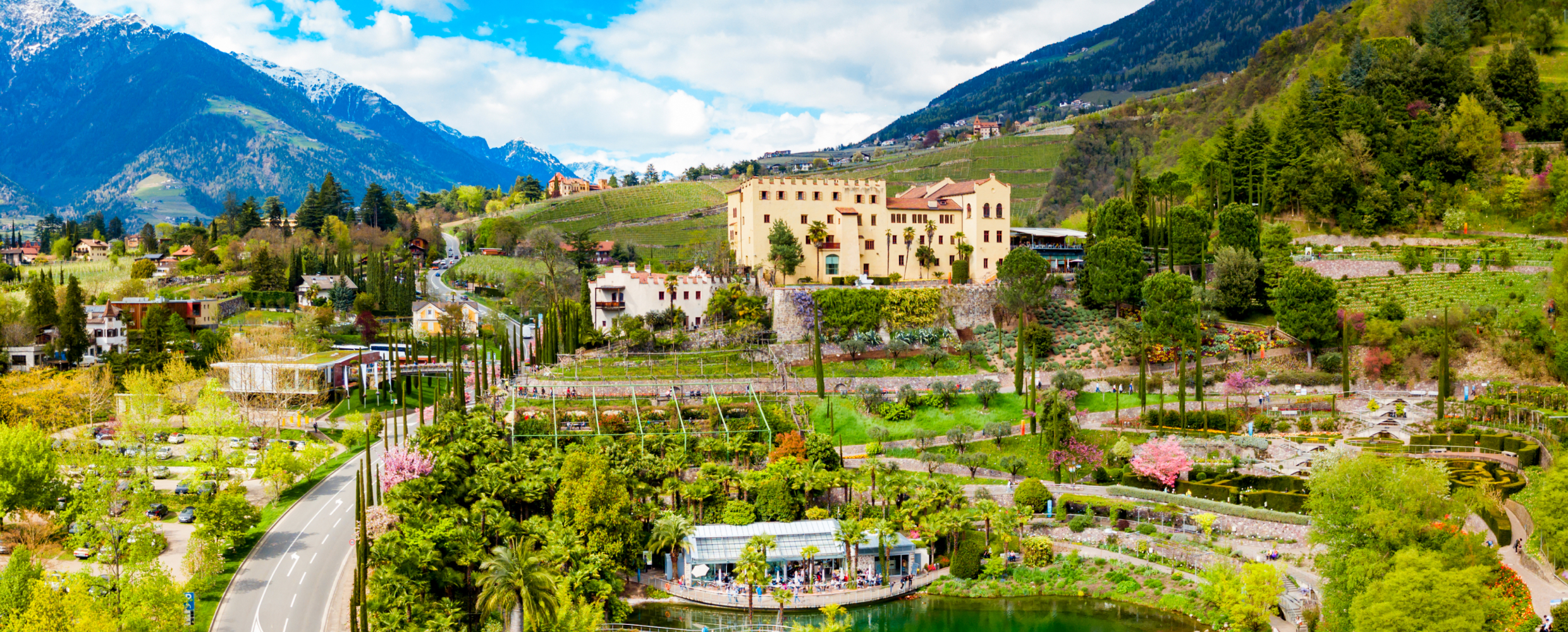
Sterzing, Pfitsch und FreienfeldGiardini di Castel Trauttmansdorff
6.2 km away, in Merano/Meran
Terraced botanic gardens around a castle above Merano, planted in zones from Mediterranean to Alpine.
Malga Ifinger
7.6 km away, in Scena/Schenna
A dairy hut under the Ifinger above Scena, on the pastures that link the Merano 2000 plateau with the paths to the Hirzer.
Sterzing, Pfitsch und FreienfeldStafell Alm - rifugio
8.3 km away, in Scena/Schenna
A pasture hut above Scena, on the open slopes of the Sarntal Alps between the village farms and the Hirzer paths.
Sterzing, Pfitsch und FreienfeldMalga Hirzerhütte Tallner Alm
9.1 km away, in Scena/Schenna
A dairy hut on the Tallner pastures below the Hirzer, above Scena, on the high route between the Passeier valley and the Merano side.
Hirzerhütte - rifugio
9.1 km away, in Scena/Schenna
A refuge below the Hirzer in the Sarntal Alps above Scena, reached by the cable car from the Passeier valley and the path over the pastures.
Resegger Alm - malga
9.2 km away, in Scena/Schenna
A dairy hut on the Resegg pastures above Scena, on the slopes rising from the Merano basin into the Sarntal Alps.
Sterzing, Pfitsch und FreienfeldMalga Grünbodenhütte
9.6 km away, in Moso in Passiria/Moos in Passeier
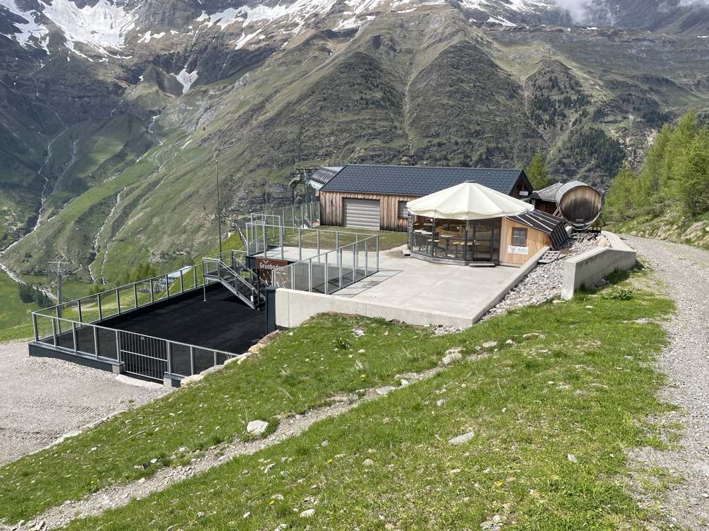
A hut on the Grünboden pastures above Plan, in the Pfelderer Tal of the upper Passeier, in the comune of Moso in Passiria.
Sterzing, Pfitsch und FreienfeldGrünboden-Hütte
9.6 km away, in Moso in Passiria/Moos in Passeier
A hut in the upper Val Passiria above Moso, below the Texel group.
Malga Faltschnal Alm
9.6 km away, in Moso in Passiria/Moos in Passeier
A dairy hut on the Faltschnal pastures in the Pfelderer Tal, in the comune of Moso in Passiria, on the path up from Plan.
Sterzing, Pfitsch und FreienfeldMalga Farmazon Alm
9.6 km away, in Moso in Passiria/Moos in Passeier
A dairy hut on the Farmazon pastures of the Pfelderer Tal, above Plan in the comune of Moso in Passiria.
Sterzing, Pfitsch und Freienfeld
Nothing of this kind in Tirolo/Tirol.
Routes
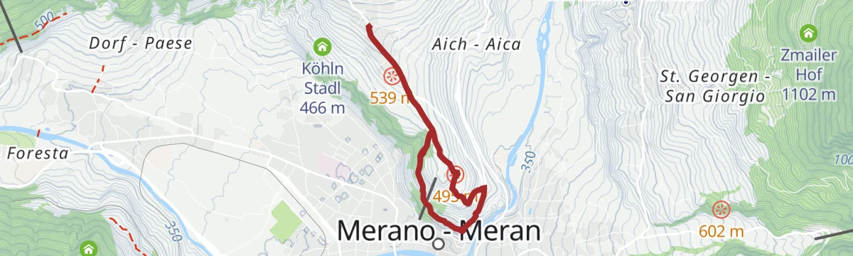
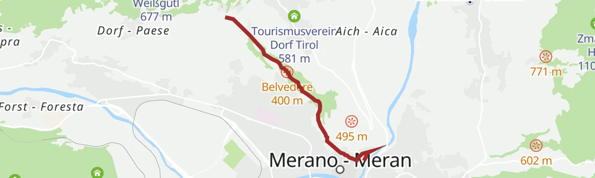
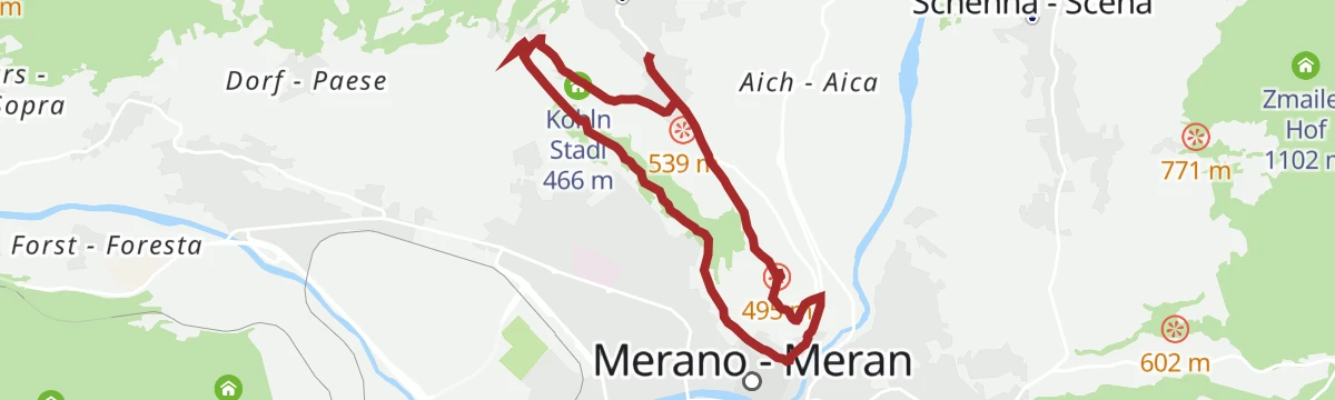
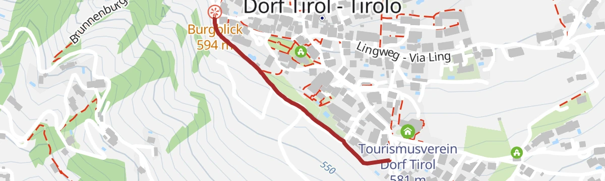
Escursione a Castel Torre
An easy walk from the village centre of Tirolo out to Castel Torre, perched on the slope above the roofs of Merano.
- 6.7 km
- Distance
- 273 m
- Ascent
- 2 h 15 min
- Duration
- 21
- Check-ins
Open route Partschins - Rabland - TöllAlta Via di Merano – da Alta Muta (Hochmuth) a Giggelberg
A stage of the Merano high route from the top of the Hochmuth cable car to Giggelberg above Parcines, over a suspension footbridge and past alpine dairies.
- 13.6 km
- Distance
- 871 m
- Ascent
- 5 h 32 min
- Duration
- 129
- Check-ins
 Leiteralm - Malga Leiter 1 550 m
- Gasthaus Steinegg 1 443 m
- Gasthof Hochmuth 1 362 m
- Schutzhaus Hochgang - Rifugio Casa del Valico 1 839 m
- Gasthaus Giggelberg 1 576 m
- Berggasthof Oberhochmuthof 1 370 m
- +3
Open route Partschins - Rabland - TöllEscursione ai laghi di Sopranes
A long circuit to the ten Sopranes lakes in the Texel group nature park, the largest set of high lakes in South Tyrol, for fit and steady walkers.
- 18.5 km
- Distance
- 1 422 m
- Ascent
- 9 h 15 min
- Duration
- 211
- Check-ins
 Mutkopf 1 668 m
- Mutspitze 2 291 m
- Leiteralm - Malga Leiter 1 550 m
- Gasthaus Steinegg 1 443 m
- Gasthof Hochmuth 1 362 m
- Schutzhaus Hochgang - Rifugio Casa del Valico 1 839 m
- +7
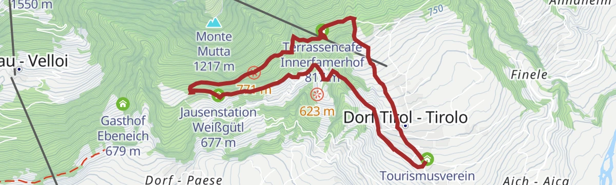
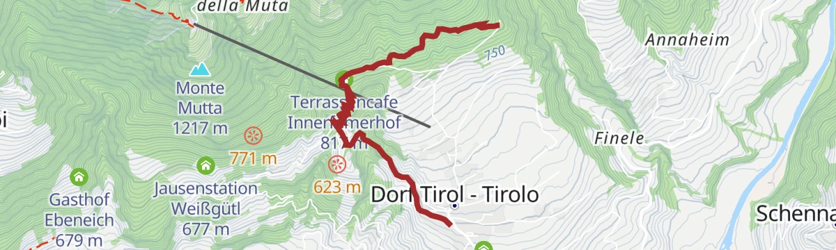
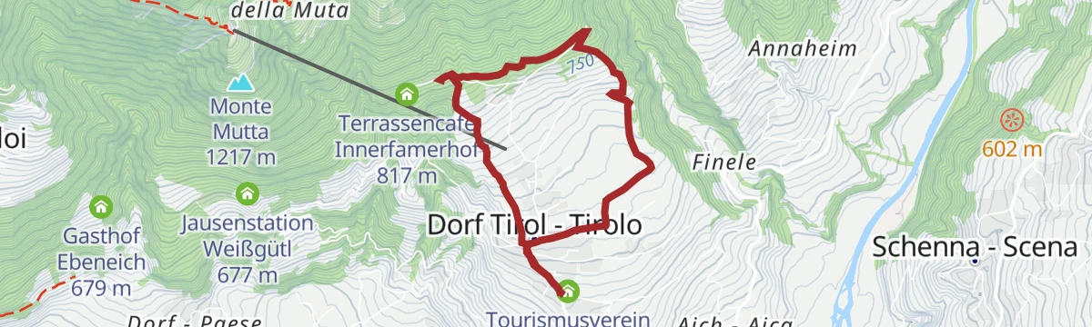
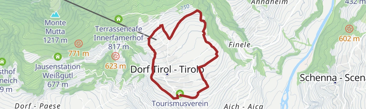
Open route Partschins - Rabland - TöllEscursione sul Sentiero Herrschaftsweg
A short walk on the Herrschaftsweg above Tirolo, linking castles by woodland paths with the Adige valley below.
- 6.7 km
- Distance
- 300 m
- Ascent
- 2 h 18 min
- Duration
- 21
- Check-ins
- Terrassencafe Innerfamerhof 817 m
- Leisterhof 640 m
- Tourismusverein Dorf Tirol 581 m
- Jausenstation Weißgütl 677 m
Open route Partschins - Rabland - TöllEscursione da Tirolo alla Malga Oberkaser
A long climb from Tirolo up to the Oberkaser alp, steady work uphill with Merano and the Adige valley in sight the whole way.
- 14.2 km
- Distance
- 785 m
- Ascent
- 6 h 35 min
- Duration
- 127
- Check-ins
- Mutkopf 1 668 m
- Gasthaus Steinegg 1 443 m
- Gasthof Hochmuth 1 362 m
- Berggasthaus Mutkopf 1 684 m
- Schutzhütte Oberkaseralm 2 131 m
- Berggasthof Oberhochmuthof 1 370 m
- +3
Open route Partschins - Rabland - TöllEscursione verso la Forcella di Sopranes
A circuit from the village of Tirol over the Sopranes pass, looking down on the lake plateau and the peaks of the Texel group.
- 16.7 km
- Distance
- 1 013 m
- Ascent
- 7 h 29 min
- Duration
- 194
- Check-ins
- Mutkopf 1 668 m
- Gasthaus Steinegg 1 443 m
- Gasthof Hochmuth 1 362 m
- Berggasthaus Mutkopf 1 684 m
- Das Lisann 1 636 m
- Schutzhütte Oberkaseralm 2 131 m
- +11
Open route Partschins - Rabland - TöllEscursione sul Sentiero Panoramico
A two-hour panoramic walk above Tirolo below the Cima del Vento, looking down on the spa town of Merano.
- 5.2 km
- Distance
- 196 m
- Ascent
- 1 h 42 min
- Duration
- 18
- Check-ins
Open route Partschins - Rabland - TöllEscursione alla Malga Leiter
A climb to the Leiter alp on the Hans Frieden path, cut across steep rock high above the Adige valley; a head for heights is needed.
- 9.6 km
- Distance
- 239 m
- Ascent
- 3 h 46 min
- Duration
- 101
- Check-ins
- Leiteralm - Malga Leiter 1 550 m
- Gasthaus Steinegg 1 443 m
- Gasthof Hochmuth 1 362 m
- Berggasthof Oberhochmuthof 1 370 m
- Leisterhof 640 m
- Tourismusverein Dorf Tirol 581 m
- +1
Open route Partschins - Rabland - TöllAlla conquista del Monte Cigot
A hard ascent of the Tschigat in the Texel group, the rocky peak that closes the skyline above the basin of Merano.
- 23.3 km
- Distance
- 1 730 m
- Ascent
- 12 h 20 min
- Duration
- 160
- Check-ins
- Tschigat 3 001 m
- Kleiner Tschigat 2 961 m
- Leiteralm - Malga Leiter 1 550 m
- Gasthaus Steinegg 1 443 m
- Gasthof Hochmuth 1 362 m
- Schutzhaus Hochgang - Rifugio Casa del Valico 1 839 m
- +9
Open route Partschins - Rabland - TöllEscursione al Tiroler Kreuz
A short climb from Tirolo to the Tiroler Kreuz inn at the foot of the Mutspitze, with the Merano basin spread out below.
- 3.3 km
- Distance
- 295 m
- Ascent
- 1 h 28 min
- Duration
- 14
- Check-ins
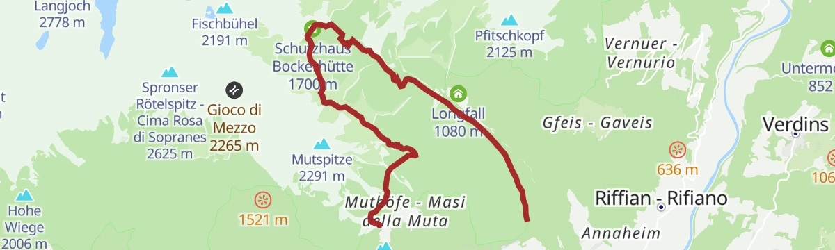
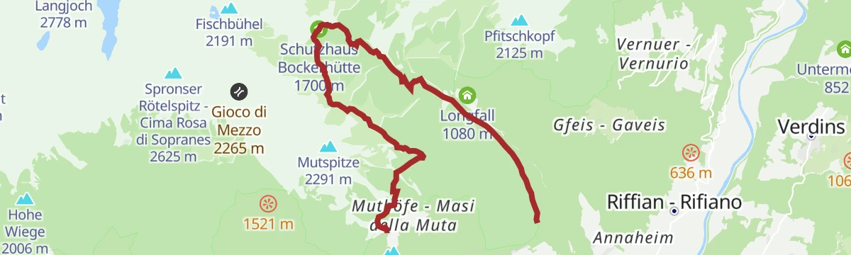
Open route Partschins - Rabland - TöllEscursione al Rifugio Bockerhütte
A climb to the Bockerhütte in the Spronser valley, in the middle of the Texel group nature park above Tirolo.
- 10.1 km
- Distance
- 524 m
- Ascent
- 4 h 47 min
- Duration
- 95
- Check-ins
- Mutkopf 1 668 m
- Gasthaus Steinegg 1 443 m
- Gasthof Hochmuth 1 362 m
- Berggasthaus Mutkopf 1 684 m
- Berggasthof Oberhochmuthof 1 370 m
- Schutzhaus Bockerhütte 1 700 m
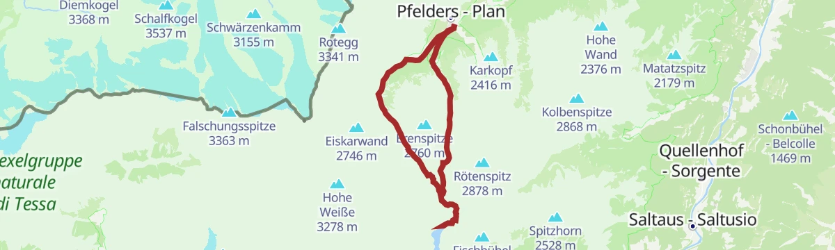
Open route Partschins - Rabland - TöllLaghi di Sopranes: Al cuore del Parco Naturale Gruppo di Tessa
Ten alpine lakes in glacier-scooped hollows among rounded knolls and erratic boulders, the highest lake plateau in South Tyrol, in the Texel group nature park.
- 15.0 km
- Distance
- 1 107 m
- Ascent
- 7 h 31 min
- Duration
- 149
- Check-ins
- Leiteralm - Malga Leiter 1 550 m
- Das Lisann 1 636 m
- Schutzhütte Oberkaseralm 2 131 m
- Rosmarie 1 631 m
 Taufenscharte - Giogo di Quaira 2 230 m
- Pfitscher Jöchl - Passo di Vizze 2 150 m
- +8
Open route Sterzing, Pfitsch und FreienfeldEscursione da Tirolo a Castel Tirolo
A short walk from the middle of Tirolo along the castle lane to Castel Tirolo, seat of the counts who gave the region its name.
- 1.6 km
- Distance
- 98 m
- Ascent
- 34 min
- Duration
- 13
- Check-ins
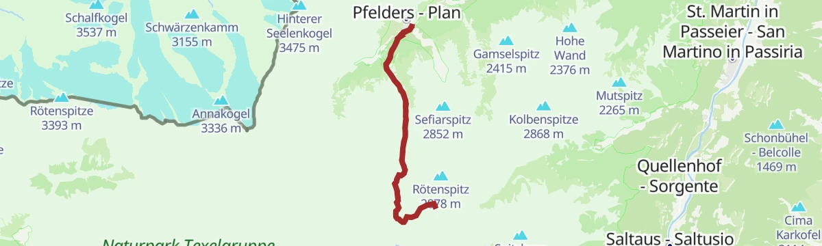
Open route Partschins - Rabland - TöllZur Bockerhütte
A demanding walk of about ten kilometres to the Bockerhütte in the Spronser valley, inside the Texel group nature park.
- 10.0 km
- Distance
- 534 m
- Ascent
- 4 h 50 min
- Duration
- 95
- Check-ins
- Mutkopf 1 668 m
- Gasthaus Steinegg 1 443 m
- Gasthof Hochmuth 1 362 m
- Berggasthaus Mutkopf 1 684 m
- Berggasthof Oberhochmuthof 1 370 m
- Schutzhaus Bockerhütte 1 700 m
Open route Partschins - Rabland - TöllEscursione da Tirolo alla Forcella Taufenscharte
A demanding climb from Tirolo to the Taufenscharte notch, with steep ground on the way up and long views from the gap itself.
- 10.7 km
- Distance
- 906 m
- Ascent
- 5 h 46 min
- Duration
- 135
- Check-ins
- Mutkopf 1 668 m
- Leiteralm - Malga Leiter 1 550 m
- Gasthaus Steinegg 1 443 m
- Gasthof Hochmuth 1 362 m
- Berggasthaus Mutkopf 1 684 m
- Berggasthof Oberhochmuthof 1 370 m
- +1
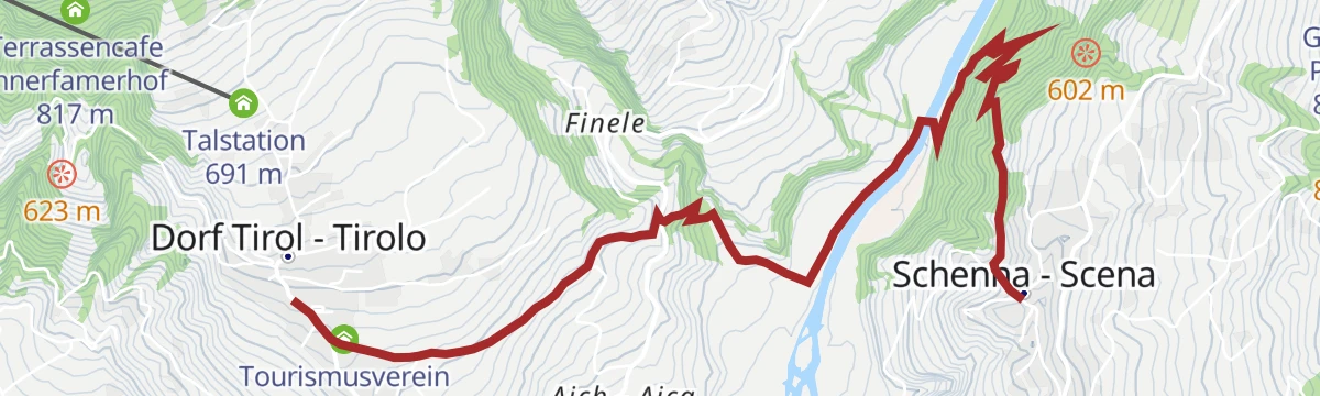
Open route Partschins - Rabland - TöllDa Scena a Tirolo
An easy hour and a half from Scena across to Tirolo, passing historic buildings and viewpoints over the Merano basin.
- 5.2 km
- Distance
- 213 m
- Ascent
- 1 h 44 min
- Duration
- 8
- Check-ins
Open route Partschins - Rabland - TöllEscursione alla Muta e a Velloi
A circuit over the slopes of the Mutspitze and down to Velloi on the Vellauer Felsenweg, a rock-cut path with the Adige valley below.
- 11.2 km
- Distance
- 824 m
- Ascent
- 5 h 25 min
- Duration
- 66
- Check-ins
- Gasthaus Steinegg 1 443 m
- Gasthof Hochmuth 1 362 m
- Berggasthof Oberhochmuthof 1 370 m
- Leisterhof 640 m
- Gasthof Talbauer 1 208 m
- Jausenstation Weißgütl 677 m
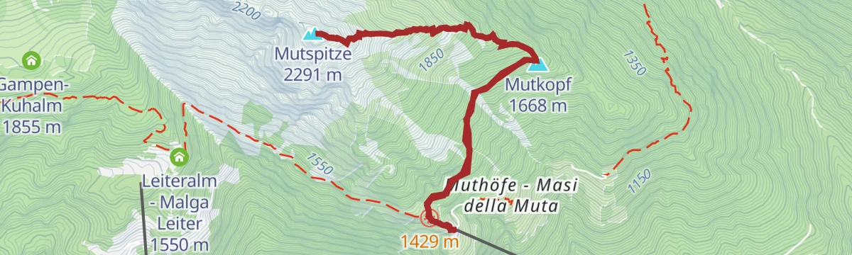
Open route Partschins - Rabland - TöllEscursione al Monte Muta
A climb to the Mutspitze above Tirolo, among the most visited summits of the Texel group thanks to its stance over the valley.
- 7.9 km
- Distance
- 938 m
- Ascent
- 5 h 36 min
- Duration
- 110
- Check-ins
- Mutkopf 1 668 m
- Mutspitze 2 291 m
- Gasthaus Steinegg 1 443 m
- Gasthof Hochmuth 1 362 m
- Berggasthaus Mutkopf 1 684 m
- Berggasthof Oberhochmuthof 1 370 m
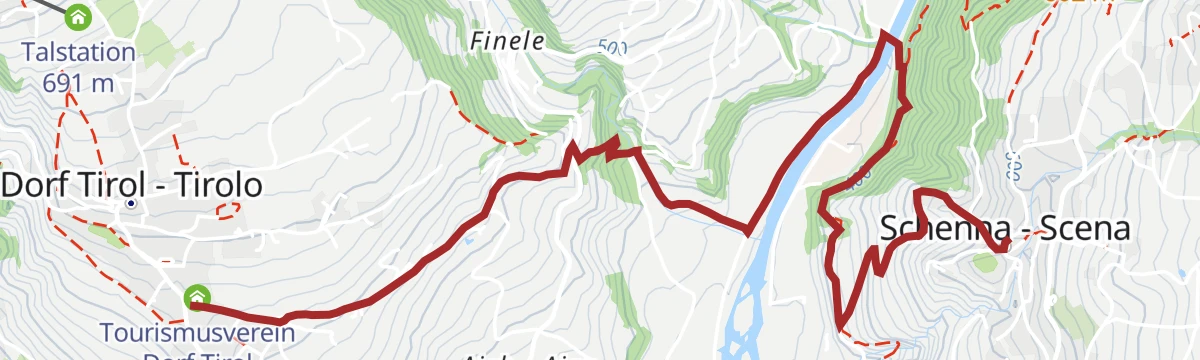
Open route Partschins - Rabland - TöllEscursione da Tirolo a Scena
An easy link from Tirolo across to Scena, level enough for anyone and open to the Merano basin for much of the way.
- 5.0 km
- Distance
- 202 m
- Ascent
- 1 h 40 min
- Duration
- 8
- Check-ins
Open route Partschins - Rabland - TöllSentiero delle roccie di Velloi (Vellauer Felsenweg)
A route along the Vellauer Felsenweg and the Hans Frieden path, narrow in places on steep rock faces above the Adige valley.
- 7.4 km
- Distance
- 798 m
- Ascent
- 3 h 27 min
- Duration
- 61
- Check-ins
- Gasthaus Steinegg 1 443 m
- Gasthof Hochmuth 1 362 m
- Berggasthof Oberhochmuthof 1 370 m
- Leisterhof 640 m
- Jausenstation Weißgütl 677 m
Open route Partschins - Rabland - TöllEscursione ai Laghi di Sopranes da Velloi
A demanding round from Vellau into the Texelgruppe park, crossing high passes to the ten glacial Spronser lakes, the largest lake plateau in South Tyrol.
- 13.4 km
- Distance
- 1 117 m
- Ascent
- 7 h 7 min
- Duration
- 101
- Check-ins
- Leiteralm - Malga Leiter 1 550 m
- Schutzhaus Hochgang - Rifugio Casa del Valico 1 839 m
- Schutzhütte Oberkaseralm 2 131 m
- Taufenscharte - Giogo di Quaira 2 230 m
- Pfitscher Jöchl - Passo di Vizze 2 150 m
 Pfitschlacke - Lago di Vizze 2 120 m
- +1
Open route Partschins - Rabland - TöllPasseggiata Tappeiner
A promenade given to Merano by the physician Franz Tappeiner, running along Monte Benedetto to Quarazze among cork oak, eucalyptus, palms, cactus and olive.
- 3.2 km
- Distance
- 103 m
- Ascent
- 57 min
- Duration
- 8
- Check-ins
Open route Partschins - Rabland - TöllRoggia di Lagundo da Tirolo
A circuit from Tirolo along the Lagundo irrigation channel and back by San Pietro, running mostly beside vineyards above the Adige valley.
- 13.3 km
- Distance
- 356 m
- Ascent
- 3 h 59 min
- Duration
- 26
- Check-ins
- Leisterhof 640 m
- Tourismusverein Dorf Tirol 581 m
- Hotel Schloss Thurnstein 563 m
- Blumenthalerhof - Zimmer + FeWo 524 m
- Buschenschank Unterötzbauer 552 m
Open route Partschins - Rabland - TöllEscursione al Mutkopf
A steep climb to the Mutkopf above Tirolo, whose hut looks down the Adige and Venosta valleys to the Ortler and south to the Dolomites.
- 10.2 km
- Distance
- 1 094 m
- Ascent
- 6 h 38 min
- Duration
- 95
- Check-ins
- Mutkopf 1 668 m
- Gasthaus Steinegg 1 443 m
- Gasthof Hochmuth 1 362 m
- Berggasthaus Mutkopf 1 684 m
- Berggasthof Oberhochmuthof 1 370 m
- Gasthof Talbauer 1 208 m
Open route Partschins - Rabland - TöllEscursione al Farmerkreuz
A short walk from Tirolo out to the Farmerkreuz, a wayside cross on the slope with the Merano basin in view.
- 5.2 km
- Distance
- 261 m
- Ascent
- 1 h 53 min
- Duration
- 6
- Check-ins
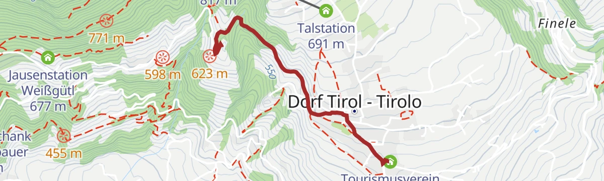
Open route Partschins - Rabland - TöllSentiero Burgweg a Castel Tirolo
A walk on the Burgweg and Ochsentodweg past Schloss Thurnstein to Castel Tirolo, warm and southern in feel and manageable with children.
- 9.4 km
- Distance
- 328 m
- Ascent
- 3 h 1 min
- Duration
- 25
- Check-ins
- Leisterhof 640 m
- Hotel Schloss Thurnstein 563 m
- Tourismusbüro Algund 351 m
- Blumenthalerhof - Zimmer + FeWo 524 m
- Buschenschank Unterötzbauer 552 m
Open route Partschins - Rabland - TöllCigot dalla Malga Leiter
A serious mountain route from the Leiteralm to the gneiss pyramid of the Tschigat, with exposed ground and short passages of grade II climbing.
- 17.2 km
- Distance
- 1 571 m
- Ascent
- 9 h 50 min
- Duration
- 89
- Check-ins
- Tschigat 3 001 m
- Kleiner Tschigat 2 961 m
- Leiteralm - Malga Leiter 1 550 m
- Schutzhaus Hochgang - Rifugio Casa del Valico 1 839 m
- Hochgangscharte - Passo del Valico 2 455 m
- Außerer Milchsee 2 541 m
- +4
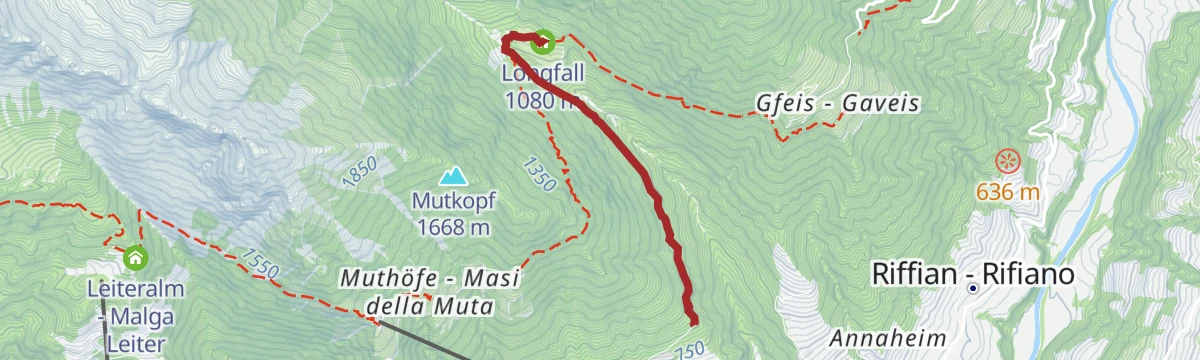
Open route Sterzing, Pfitsch und FreienfeldEscursione alla Locanda Longfall
An easy walk from the Tiroler Kreuz above Tirolo, following path 6 into the side valley to the Longfall inn.
- 5.3 km
- Distance
- 268 m
- Ascent
- 1 h 57 min
- Duration
- 6
- Check-ins
Open route Partschins - Rabland - TöllDa Parcines al Castel Tirolo
A sunny walk from Parcines along the hillside to Castel Tirolo, the castle that gave the region its name; good in spring and autumn.
- 7.2 km
- Distance
- 300 m
- Ascent
- 2 h 25 min
- Duration
- 21
- Check-ins
- Leisterhof 640 m
- Hotel Schloss Thurnstein 563 m
- Blumenthalerhof - Zimmer + FeWo 524 m
- Buschenschank Unterötzbauer 552 m
- Jausenstation Saxner 760 m
- Tourismusbüro Partschins 635 m
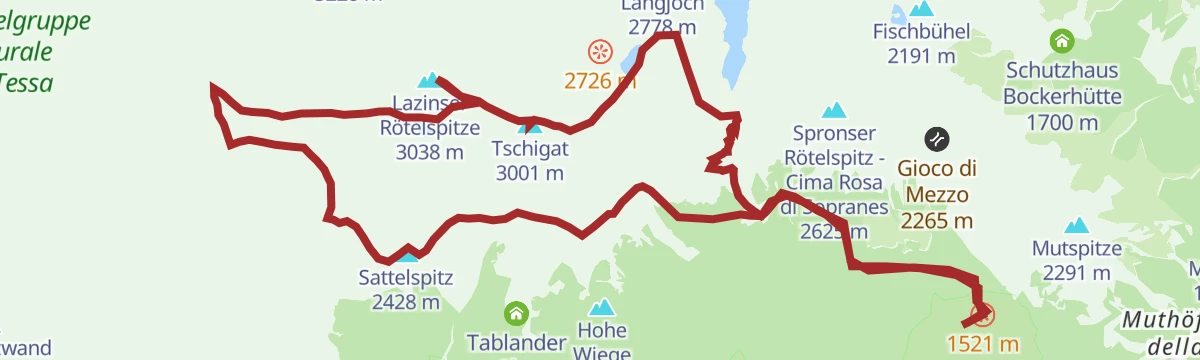
Open route Partschins - Rabland - TöllCigot e Cima rossa da Velloi
A very long day from Vellau linking the Tschigat with the Lazinser Rötelspitze, deep in the Texelgruppe and demanding sure footing throughout.
- 23.2 km
- Distance
- 2 140 m
- Ascent
- 13 h 22 min
- Duration
- 84
- Check-ins
- Tschigat 3 001 m
- Kleiner Tschigat 2 961 m
- Lazinser Rötelspitze 3 038 m
- Sattelspitz 2 428 m
- Leiteralm - Malga Leiter 1 550 m
- Schutzhaus Hochgang - Rifugio Casa del Valico 1 839 m
- +5
Open route Sterzing, Pfitsch und FreienfeldEscursione sul Sentiero del Vino
A short circuit through the vineyards of Tirolo, following the work of the growers on the terraces above Merano.
- 2.1 km
- Distance
- 94 m
- Ascent
- 43 min
- Duration
- 6
- Check-ins
Open route Partschins - Rabland - TöllEscursione sulla Passeggiata Tappeiner
A walk on the Tappeiner promenade, cut a hundred metres above Merano among trees and shrubs of Mediterranean type.
- 7.3 km
- Distance
- 193 m
- Ascent
- 2 h 11 min
- Duration
- 21
- Check-ins
Open route Partschins - Rabland - TöllEscursione sulla cima Schwarzkopf (2805 m)
A long but not technical climb to the Schwarzkopf at 2,805 metres, looking down on the Spronser lakes.
- 19.1 km
- Distance
- 1 326 m
- Ascent
- 8 h 50 min
- Duration
- 74
- Check-ins
- Schwarzkopf 2 805 m
- Das Lisann 1 636 m
- Rosmarie 1 631 m
- Sport Bar 1 629 m
- Faltschnal-Alm 1 871 m
- Tourismusverein Passeiertal - Infobüro Pfelders 1 626 m
- +6
Open route Partschins - Rabland - TöllEscursione sul Sentiero della Mela
A gentle walk through the apple orchards of Tirolo, at its finest when the trees come into blossom in spring.
- 4.5 km
- Distance
- 174 m
- Ascent
- 1 h 30 min
- Duration
- 6
- Check-ins
Open route Partschins - Rabland - TöllDa Parcines a Merano lungo il sentiero della roggia di Lagundo
A link from Parcines to Merano along the Algund channel path through orchards to Quarazze, finishing on the Tappeiner promenade.
- 9.6 km
- Distance
- 64 m
- Ascent
- 2 h 41 min
- Duration
- 8
- Check-ins
Open route Partschins - Rabland - TöllEscursione ai Laghi di Sopranes (Spronser Seen)
A long, demanding round from Plan to the Spronser lakes, the finest group of mountain tarns in South Tyrol, with the Faltschnal and Lazins huts on the way.
- 20.5 km
- Distance
- 1 216 m
- Ascent
- 8 h 27 min
- Duration
- 68
- Check-ins
- Rosmarie 1 631 m
- Sport Bar 1 629 m
- Faltschnal-Alm 1 871 m
- Tourismusverein Passeiertal - Infobüro Pfelders 1 626 m
- Pisten Pub 1 630 m
- Spronserjoch - Forcella Sopranes 2 590 m
- +5
Open route Partschins - Rabland - TöllPasseggiata Falkner
A short traffic-free promenade to Castel Tirolo, paid for in the early 1970s by Hans Norman Falkner, who is remembered by a monument along it.
- 535 m
- Distance
- 21 m
- Ascent
- 10 min
- Duration
- 6
- Check-ins
Open route Partschins - Rabland - TöllEscursione da Tirolo lungo la Roggia di Caines (Kuenser Waalweg)
A family walk along the Caines irrigation channel above Tirolo, past orchards and mixed woodland as far as the Longfall inn.
- 8.5 km
- Distance
- 243 m
- Ascent
- 2 h 49 min
- Duration
- 6
- Check-ins
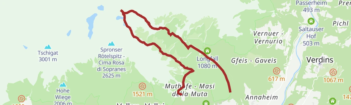
Open route Partschins - Rabland - TöllTappa Alta Via di Merano 6: da Matatz alla Muta
The closing stage of the Merano high route, from Matatz in the Passiria valley across to the Muta above Tirolo, on path 24 around the Tessa group.
- 18.4 km
- Distance
- 1 203 m
- Ascent
- 7 h 35 min
- Duration
- 44
- Check-ins
- Gasthof Hochmuth 1 362 m
- Berggasthof Oberhochmuthof 1 370 m
- Longfall 1 080 m
- Gasthof Talbauer 1 208 m
- Berggasthaus Magdfeld 1 150 m
Open route Partschins - Rabland - TöllEscursione lungo il Sentiero boschivo
A short walk along the edge of the wood above Tirolo, with openings towards the basin of Merano.
- 2.0 km
- Distance
- 69 m
- Ascent
- 39 min
- Duration
Open route Partschins - Rabland - TöllEscursione allo Schwåmmplouder (cascata a Tirolo)
A walk through mixed woodland above Tirolo to the Schwåmmplouder, a pool fed by a small waterfall and cool on hot days.
- 7.7 km
- Distance
- 317 m
- Ascent
- 2 h 35 min
- Duration
Open route Partschins - Rabland - TöllPasseggiata lungo la roggia di Cainer - Waalweg
An easy circuit along an irrigation channel more than six centuries old above Tirolo, through woodland and past the Schwamm Bloder falls.
- 6.3 km
- Distance
- 320 m
- Ascent
- 2 h 20 min
- Duration
Open route Partschins - Rabland - TöllEscursione da Tirolo a Caines
A walk from Tirolo across to Caines, facing the eroded earth pyramids on the slope above the village.
- 7.8 km
- Distance
- 284 m
- Ascent
- 2 h 32 min
- Duration
Open route Partschins - Rabland - TöllSentiero d'acqua di Lagundo
A flat path beside the old Algund irrigation channel, running in two sections along the hillside with Merano and its basin in view.
- 4.5 km
- Distance
- 0 m
- Ascent
- 1 h 9 min
- Duration
Open route Partschins - Rabland - Töll
No routes of this kind in Tirolo/Tirol yet.
The region's own picks
Featured route
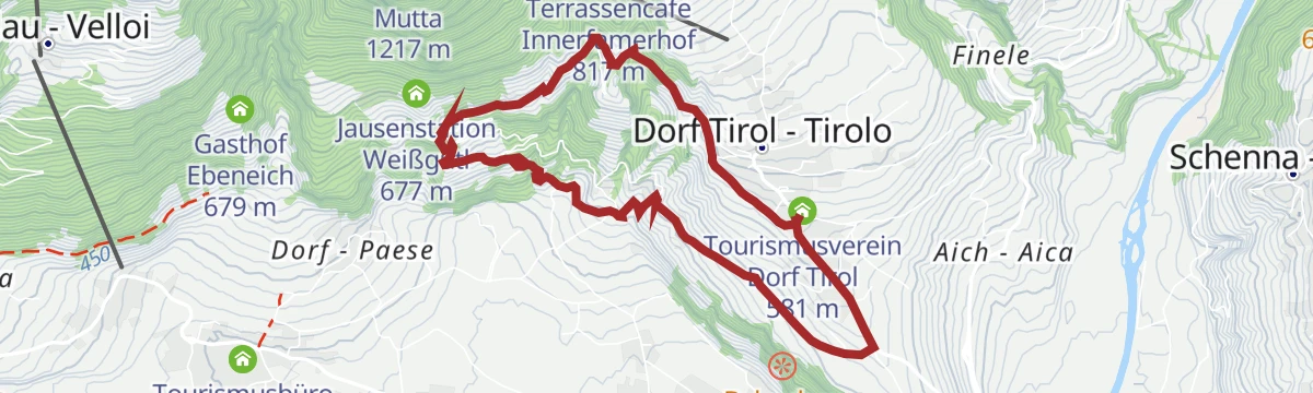
Escursione a Castel Torre
An easy walk from the village centre of Tirolo out to Castel Torre, perched on the slope above the roofs of Merano.
Planning a trip to Tirolo/Tirol?
Everything else Trentino-Alto Adige/Südtirol has, in one place


Take Tirolo/Tirol with you into the mountains
Every route on this page with 3D terrain, GPX navigation and offline maps — including the valleys with no signal.
Data sources
- Official website: suedtirol.info ↗
- Routes and highlights: Partschins - Rabland - Töll, Sterzing, Pfitsch und Freienfeld, Italia.it
- Published as open data by the tourist boards named above.
- Region summary generated from the board's own material.
