
Curated by Region Seefeld
Telfs
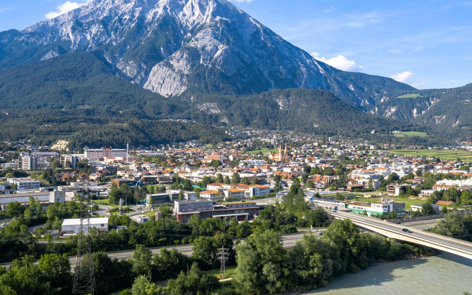
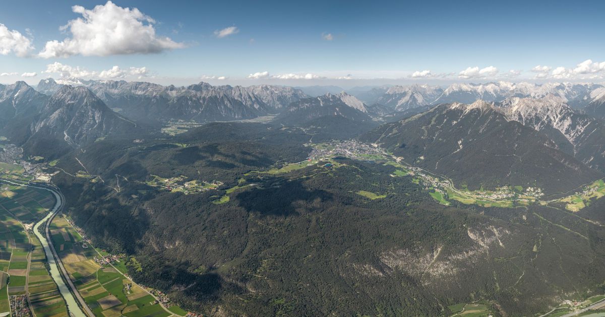
Tirol's third-largest municipality, a market town on the upper Inn below the Hohe Munde, with the peace bell of Mösern on the terrace above.
- 18Highlights
- 73Routes
- Featured summit · Hohe Munde Westgipfel
Highlights
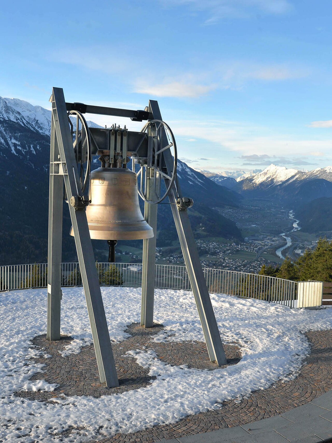
Die Friedensglocke
The Peace Bell of the Alps at Mösern (1,240 m) above the Inn valley, cast in 1997 as a sign of good neighbourliness among the Alpine countries.
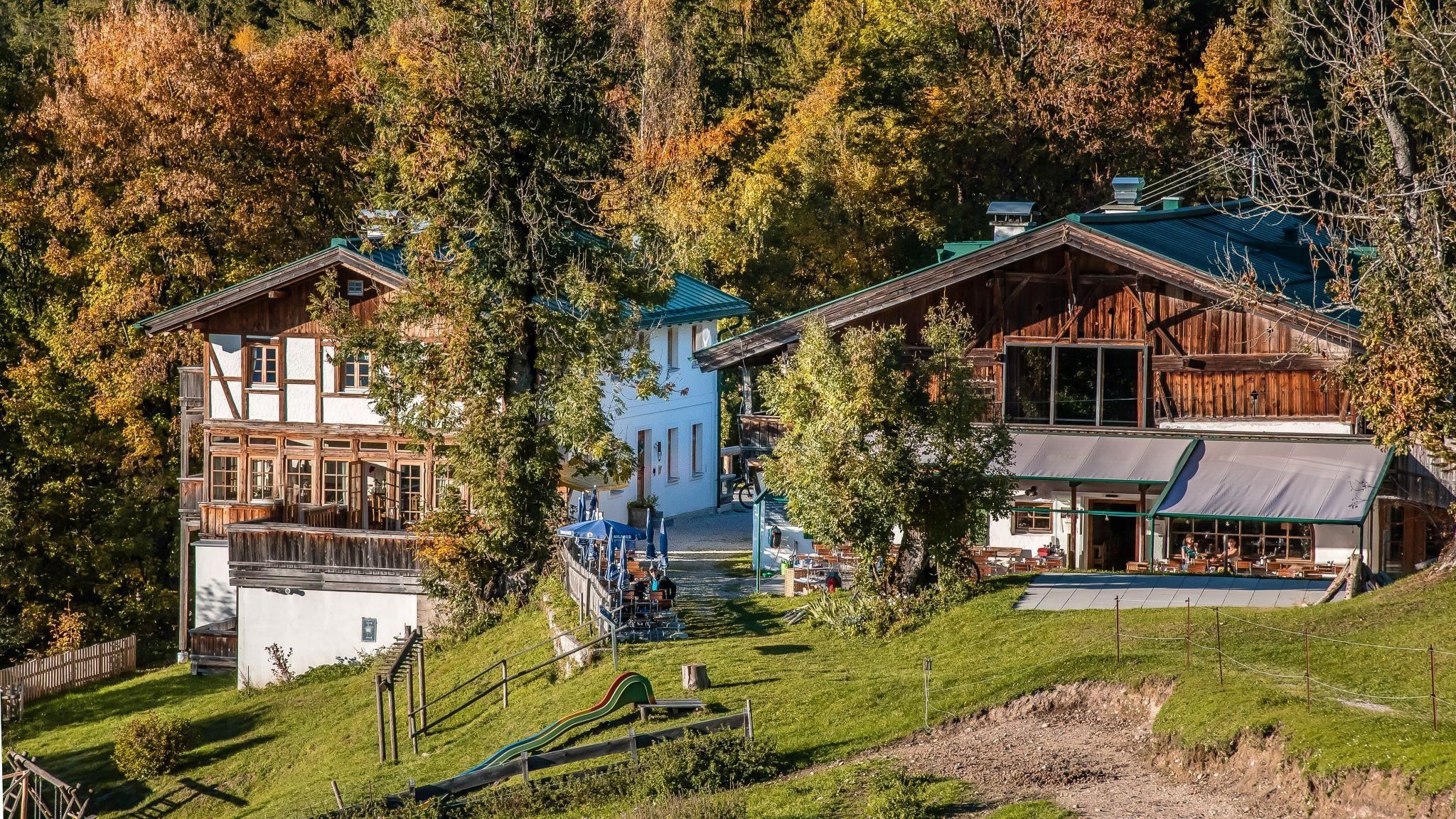
Lottenseehütte
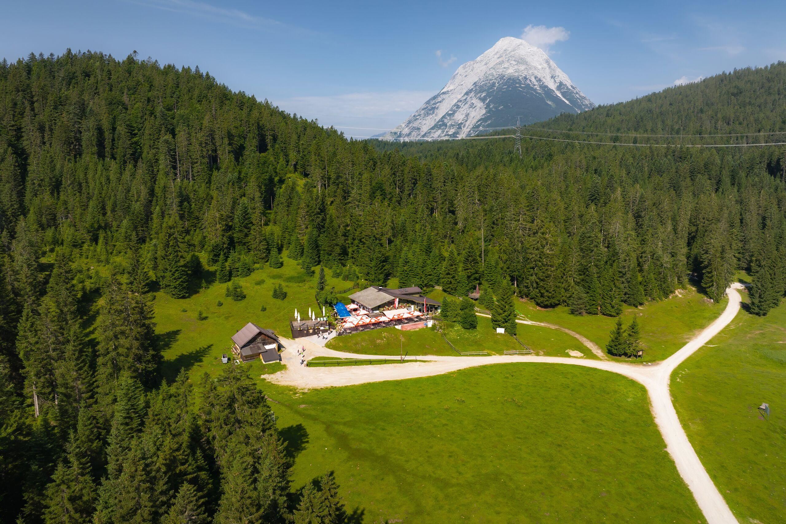
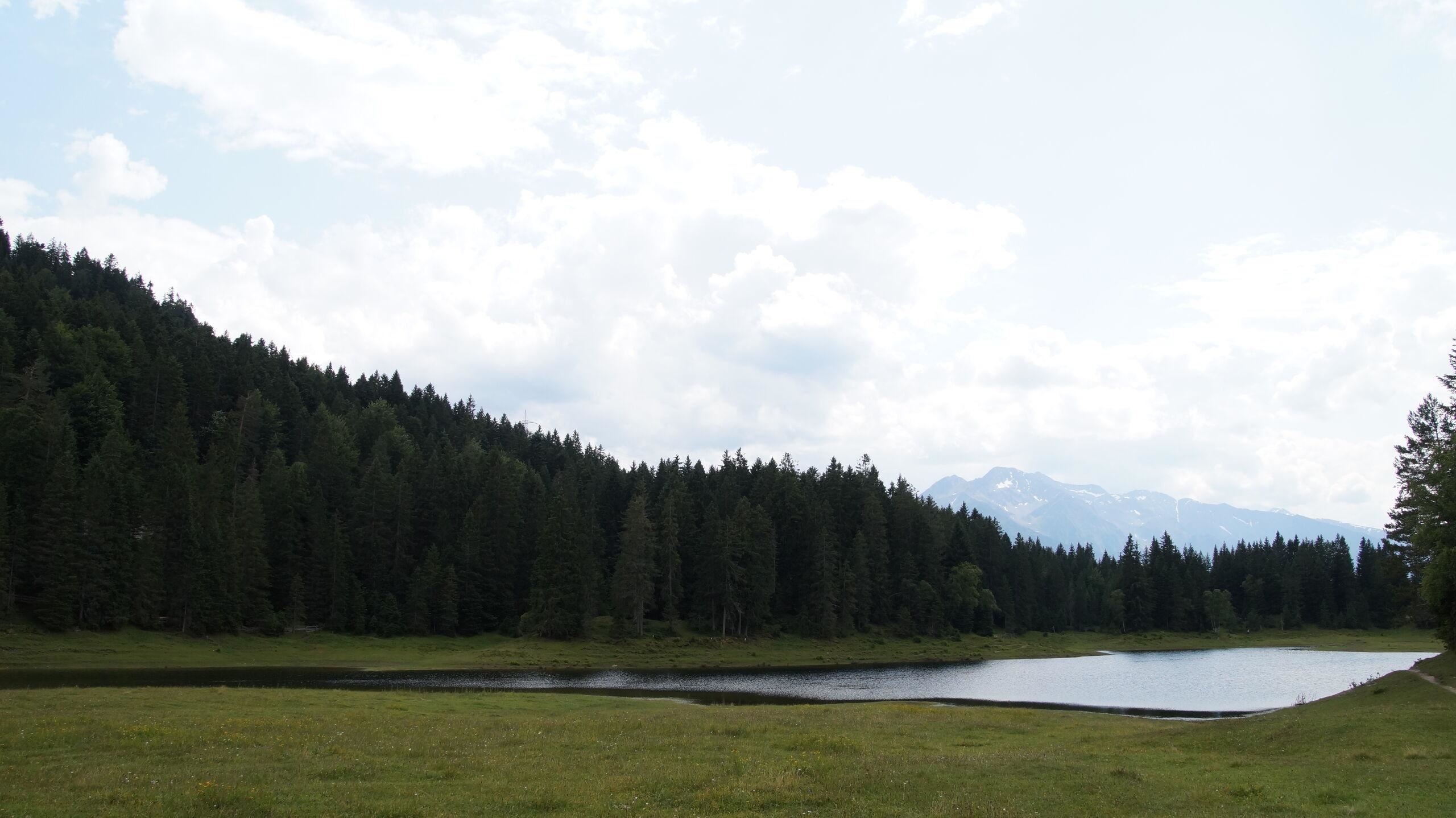
A hut by the Lottensee on the Wildmoos plateau near Seefeld, beside a shallow lake that periodically disappears.
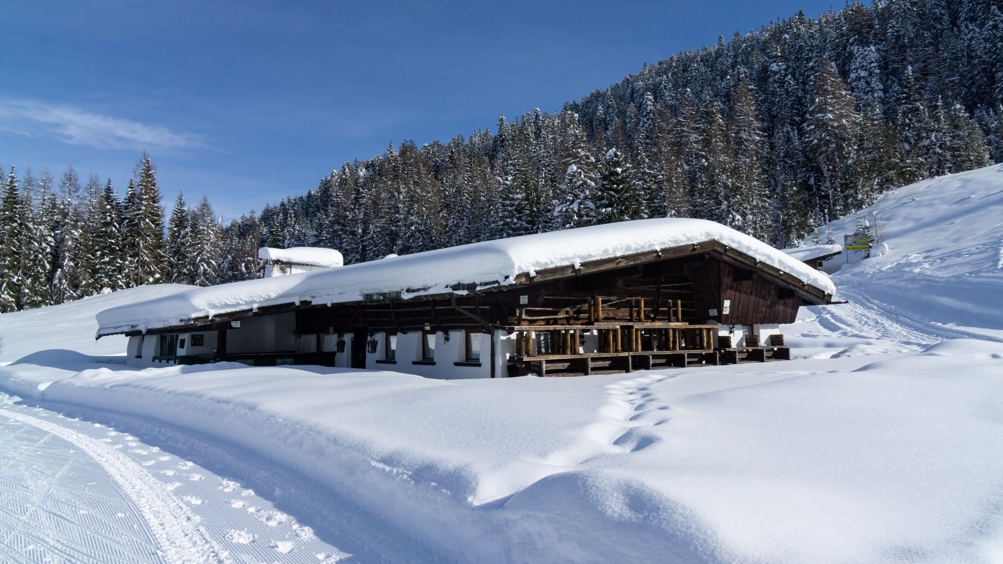
Seewaldalm
An alm above Mösern near the Möserer See, serving pizza and snacks in the winter season on the wooded plateau.
Wildmoosalm
An alm on the Wildmoos plateau between Seefeld, Mösern and Leutasch, beside meadows where periodic lakes appear in wet years.
Rathaussaal Telfs
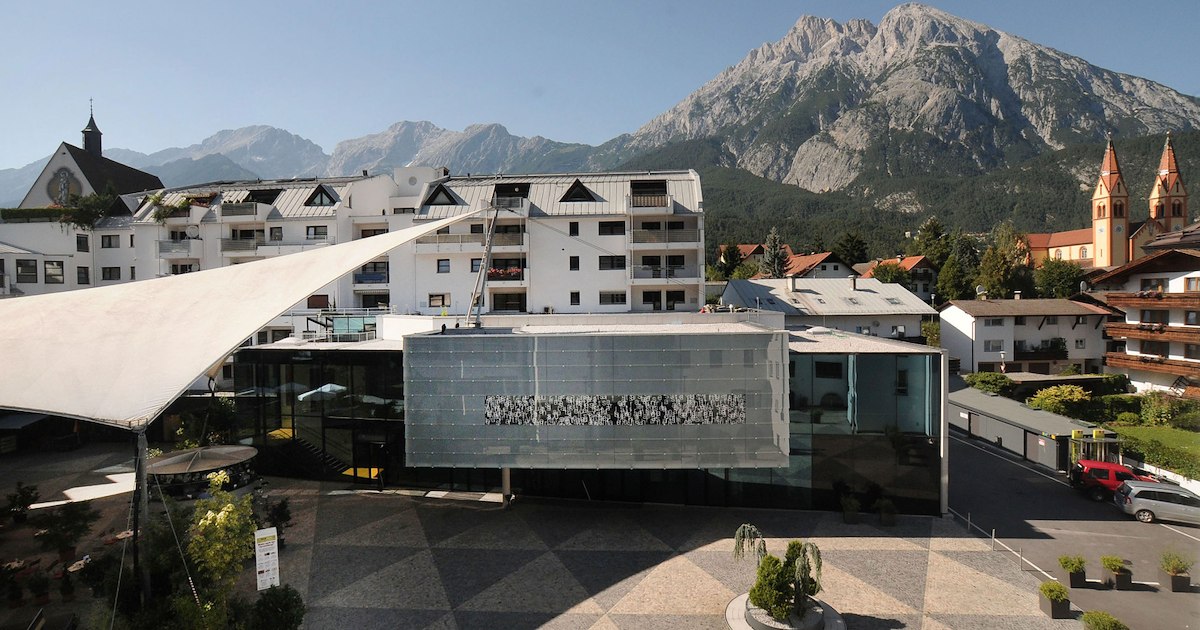
The hall of the town hall in Telfs (634 m), used for concerts, theatre and civic events in the market town west of Innsbruck.
Villa Schindler
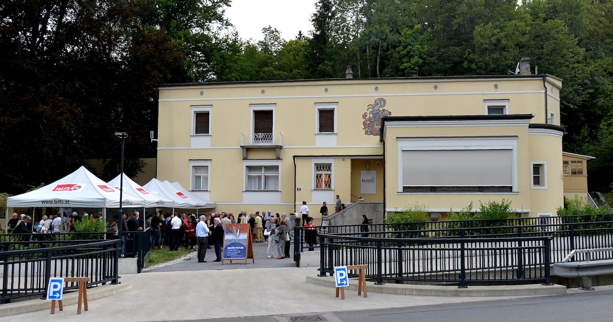
A villa in Telfs (634 m) used today for exhibitions and cultural events, one of the market town's notable historic houses.
Kalvarienberg Mösern
A calvary hill above Mösern at about 1,240 m, with stations of the cross leading up to a small chapel overlooking the Inn valley.
Lottensee - ein Naturphänomen
A periodic lake near Wildmoos on the Seefeld plateau, appearing only when groundwater is high and sometimes staying dry for years.
Wildmoossee - ein Naturphänomen
A periodic lake in the Wildmoos area above Seefeld that fills and empties with the groundwater, in some years disappearing completely.
Bergbauernmuseum beim Landgasthof Ropferstub'm
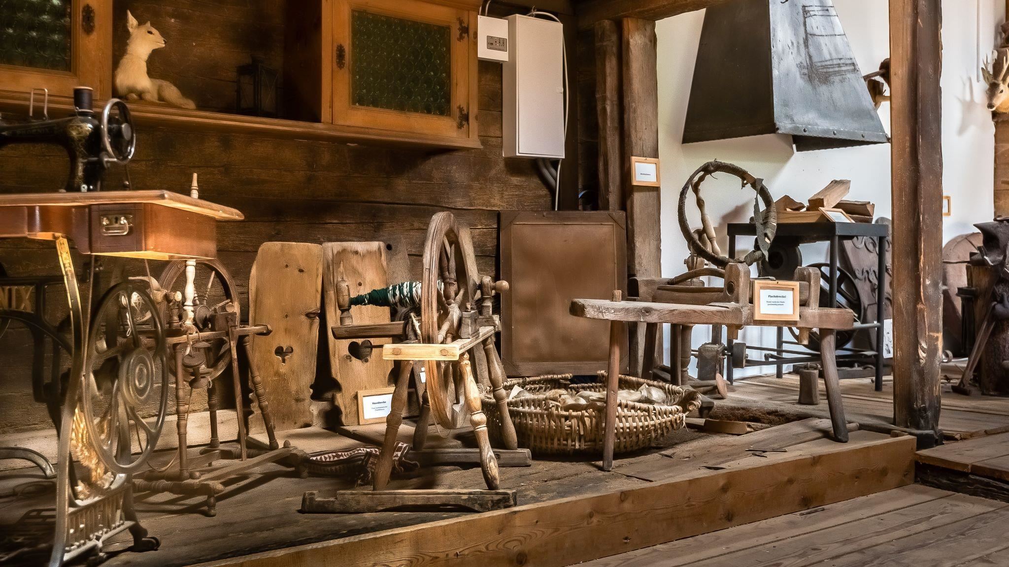
A private museum of mountain farming at the Ropferstub'm inn south of the Seefeld plateau, showing old tools and rural household gear.
Fasnacht- und Heimatmuseum "Noaflhaus"
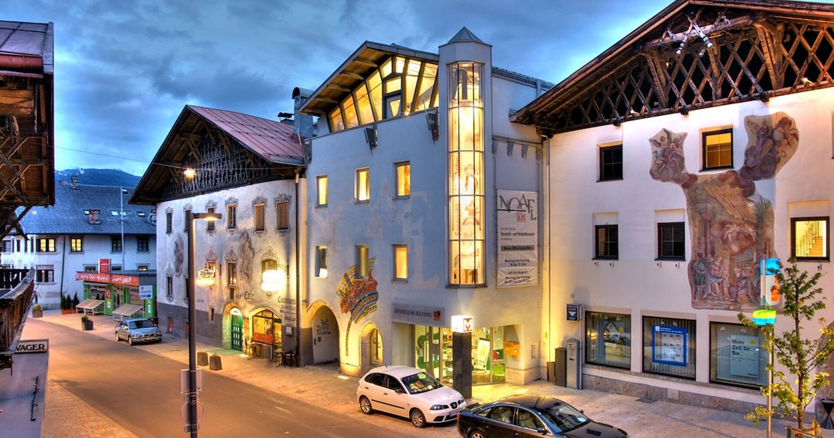
A museum in the Noaflhaus in Telfs on local history and the Schleicherlaufen, the town's large traditional carnival procession.
Heimatmuseum im Sterzingerhof
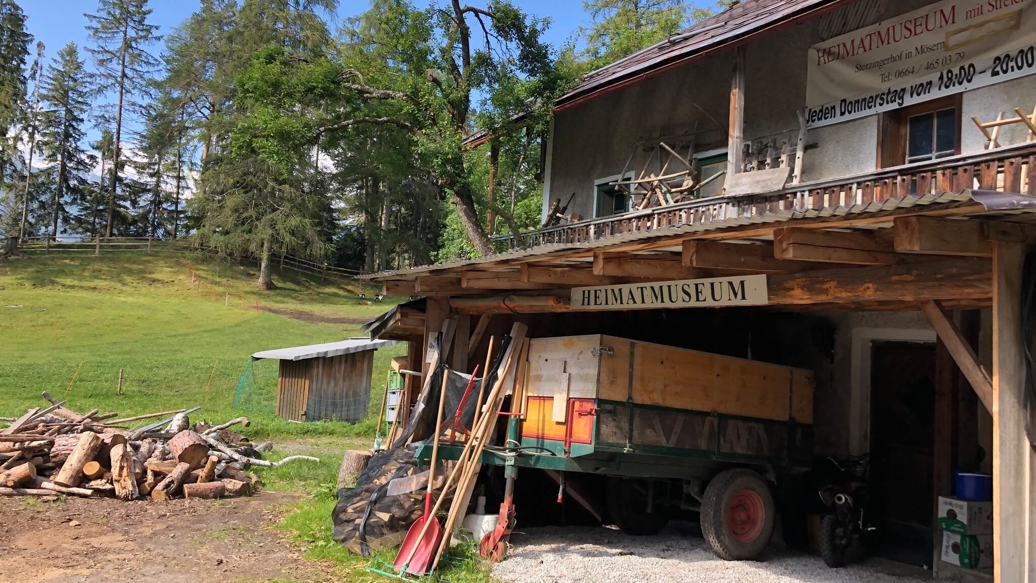
A local heritage museum in the Sterzingerhof at Mösern, presenting everyday objects from the village's farming past.
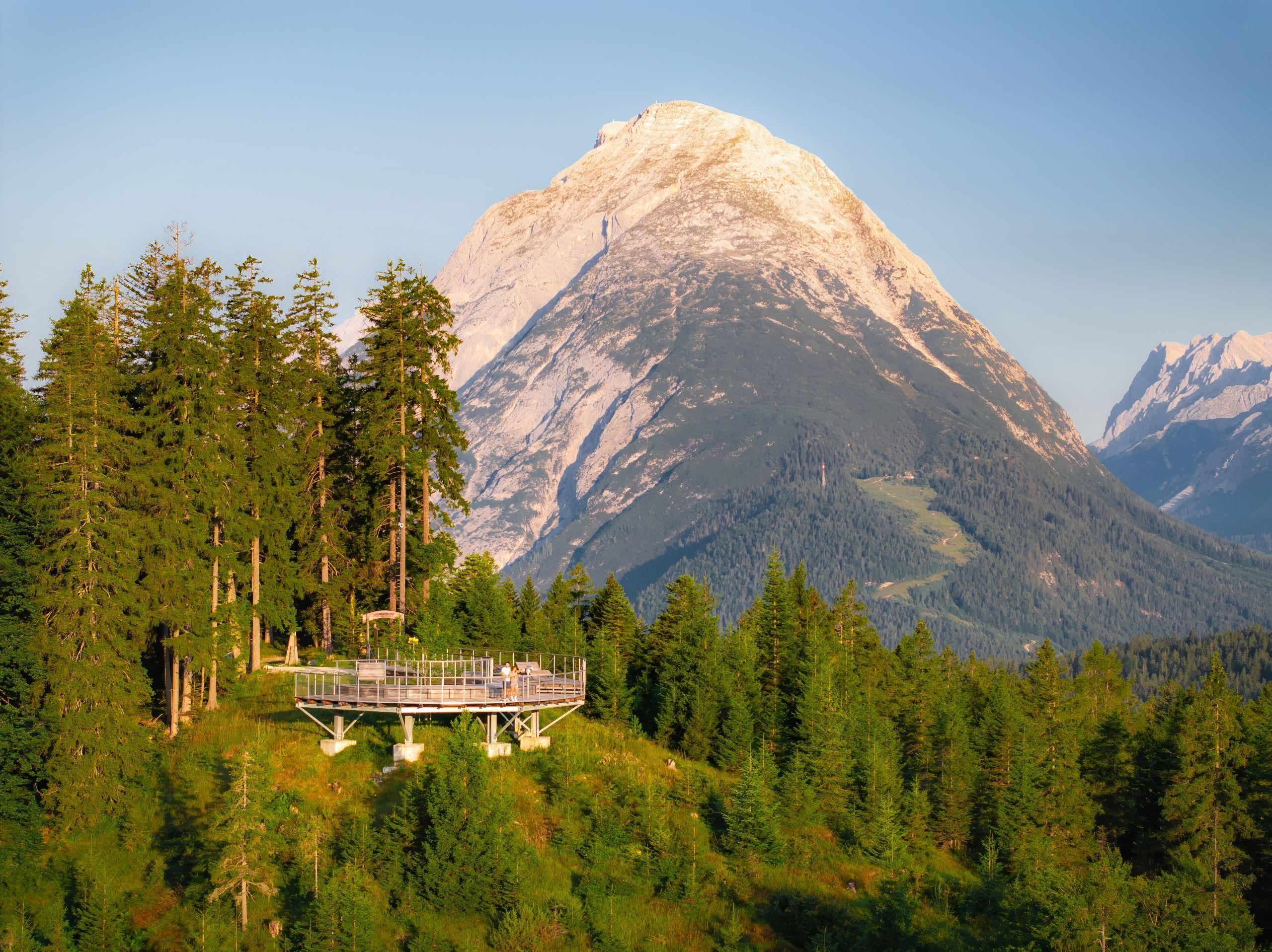
Aussichtsplattform Brunschkopf
A viewing platform on the Brunschkopf above Mösern, overlooking the Seefeld plateau and the Inn valley far below.
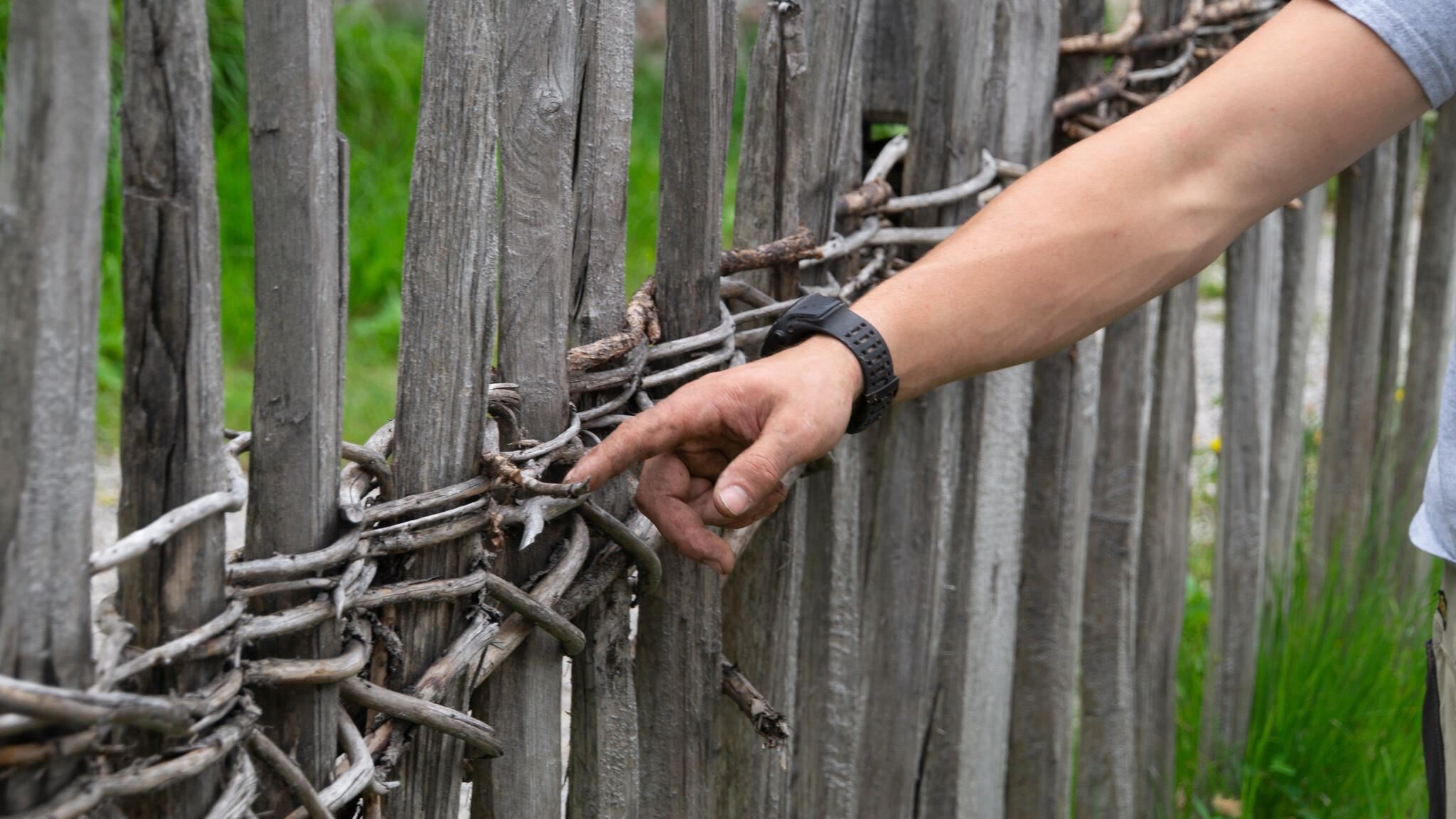
Historische Zäune
Traditional wooden fences preserved around Mösern, showing historic Tyrolean fencing techniques along the meadows.
Ropferstub'm, Gasthof
A country inn between Buchen and Telfs south of the Seefeld plateau, serving Tyrolean cooking with a small farming museum attached.
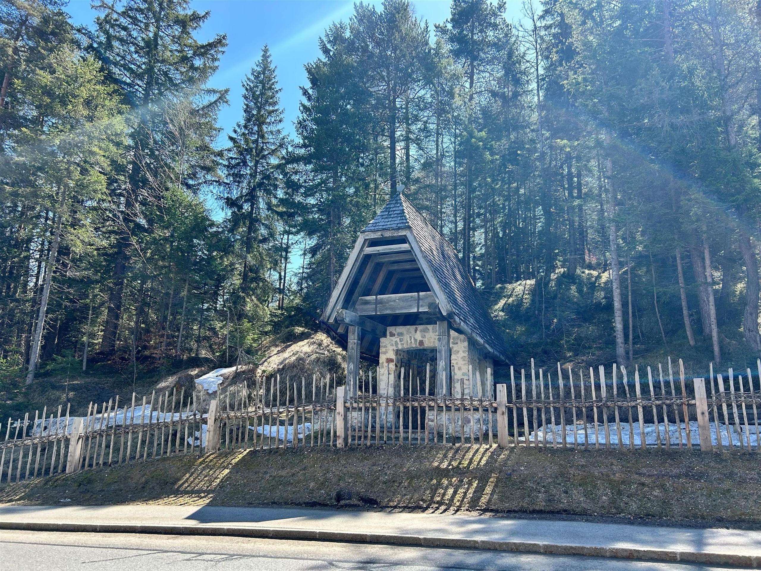
Gföll Kapelle oder Obere Möserer Kapelle
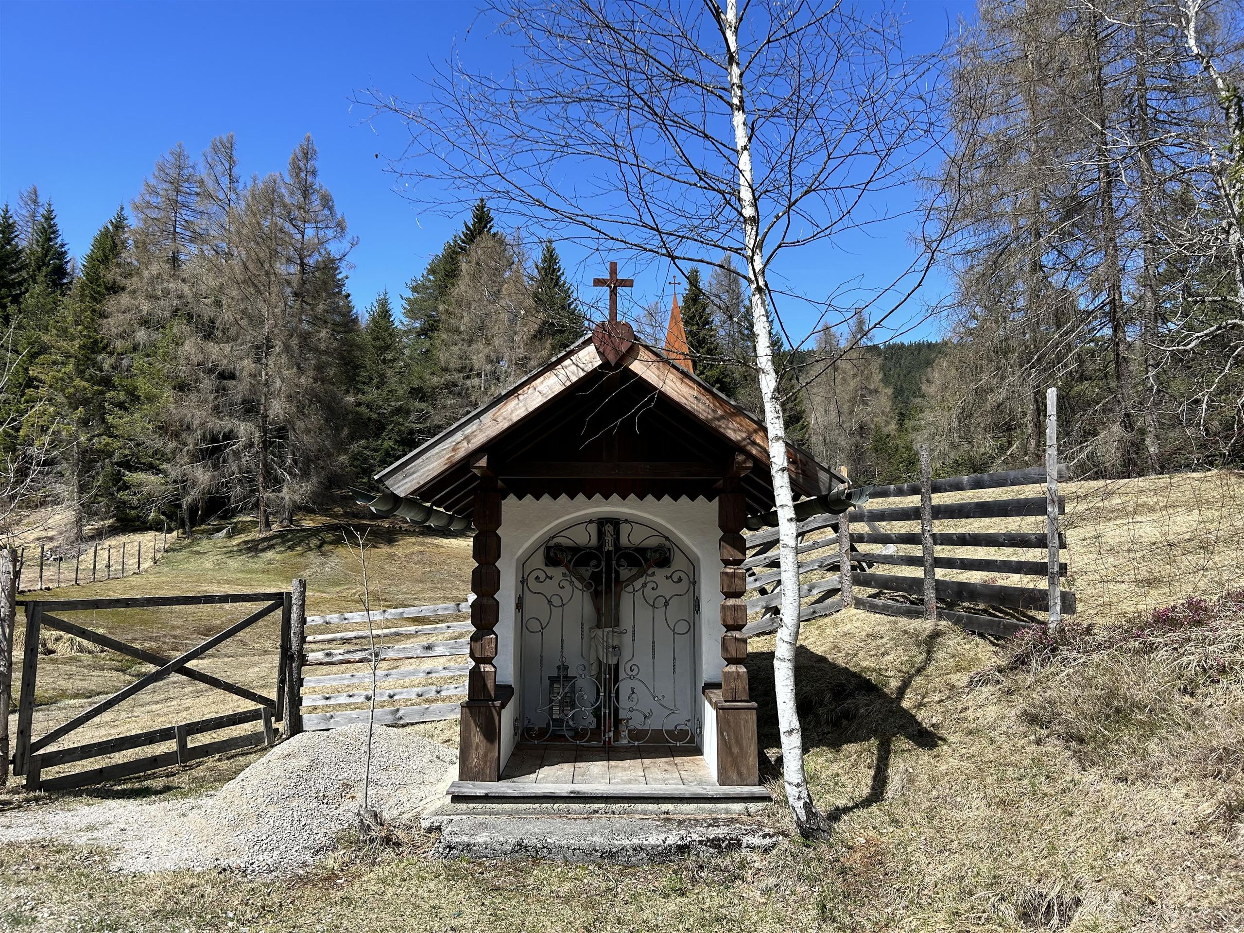
A chapel at Gföll above Mösern, also called the Upper Möserer Kapelle, beside the old route across the sunny terrace.
Martes Kapelle
A small chapel in the meadows near Mösern and Wildmoos, one of the quiet devotional stops of the Seefeld plateau.
Pfarrkirche Maria Heimsuchung
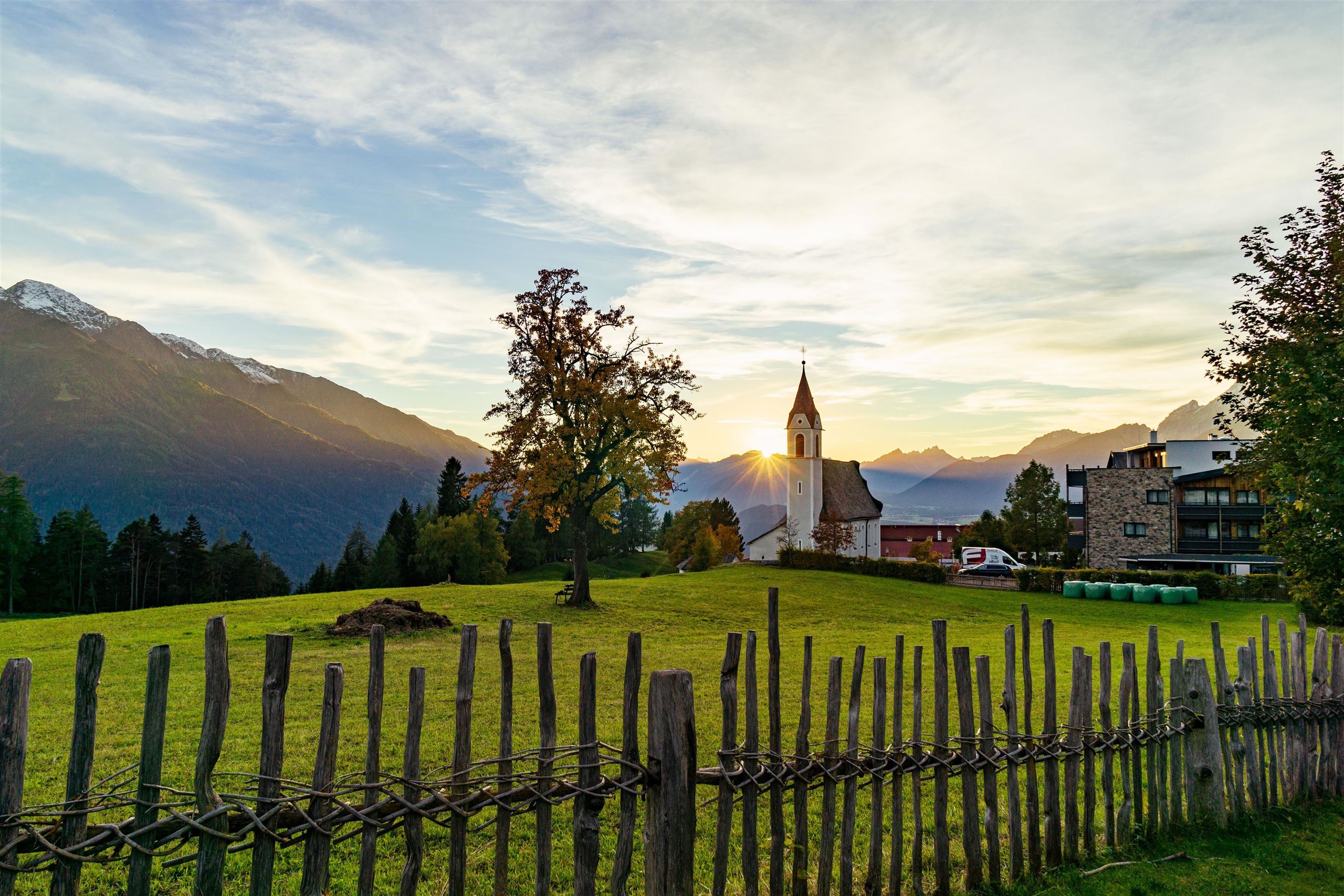
The parish church of Mösern, dedicated to the Visitation of Mary, serving the small village at 1,240 m above the Inn valley on the Seefeld plateau.
 Historic site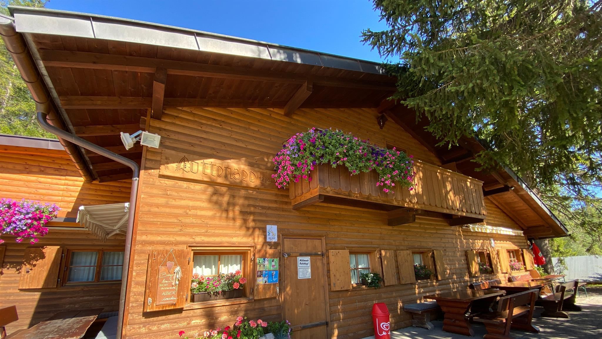
Nothing of this kind in Telfs.
Routes
50 routes, an even mix of activities · see the rest on seefeld.com ↗
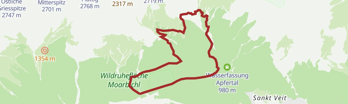
Durch das Steinerne Meer
Easy route through the Steinernes Meer boulder terrain on the Mieming plateau, linking the Alplhaus and the Straßberghaus.
- 6.1 km
- Distance
- 338 m
- Ascent
- 2 h 24 min
- Duration
- 21
- Check-ins
Wanderung auf den Gschwandtkopf
A 12.6 km walk from Seefeld to the top of the Gschwandtkopf, passing the reservoir that mirrors the surrounding peaks, with a restaurant at the summit.
- 12.6 km
- Distance
- 318 m
- Ascent
- 3 h 44 min
- Duration
- 33
- Check-ins
 Gschwandtkopf 1 495 m
 Sonnalm 1 482 m
 Speicherteich Gschwandtkopf 1 448 m
- Informations- und Mobilitätszentrum Seefeld 1 182 m
- Bergrettungshütte Gschwandtkopf 1 480 m
- Tourismusverband Seefeld 1 182 m
- +3
Etappe 2: Von Leutasch nach Mösern – 1. Winterweitwanderweg Tirols
Winter stage of 16.9 km from Leutasch over the Fludertal and Wildmoos to the Wildmoosalm, then on to Mösern past the Möserer See and the alpine peace bell.
- 16.9 km
- Distance
- 422 m
- Ascent
- 4 h 54 min
- Duration
- 30
- Check-ins
Biketour Nr. 545 Gschwandtkopf
A short forest-road climb to the summit restaurant on the Gschwandtkopf at 1,480 m, starting from the Mösern side.
- 6.2 km
- Distance
- 268 m
- Ascent
- 49 min
- Duration
- 28
- Check-ins
Alplhaus (5003)
A forest-road climb above Wildermieming to the hut at 1,506 m, with the Straßberghaus passed lower down and the Neue Alplhütte just above.
- 12.4 km
- Distance
- 662 m
- Ascent
- 1 h 48 min
- Duration
- 21
- Check-ins
Gaistalrunde - Mieminger Kette Rundtour
A long loop right around the range over the Marienbergjoch, linking the Ehrwalder Alm, Gaistalalm, Marienbergalm and Tillfussalm on forest roads.
- 66.6 km
- Distance
- 2 310 m
- Ascent
- 8 h 5 min
- Duration
- 247
- Check-ins
Von Innsbruck nach Kühtai
A long road ride out of the Inn valley, climbing to the saddle at 2,017 m with the Dortmunder Hütte just below it.
- 106.6 km
- Distance
- 1 930 m
- Ascent
- 11 h 16 min
- Duration
- 86
- Check-ins
Friedenswanderweg
Easy 4.8 km loop from Mösern with seven contemplative stations, the alpine peace bell and a wide view over the Inn valley.
- 4.8 km
- Distance
- 92 m
- Ascent
- 1 h 21 min
- Duration
- 12
- Check-ins
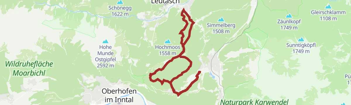
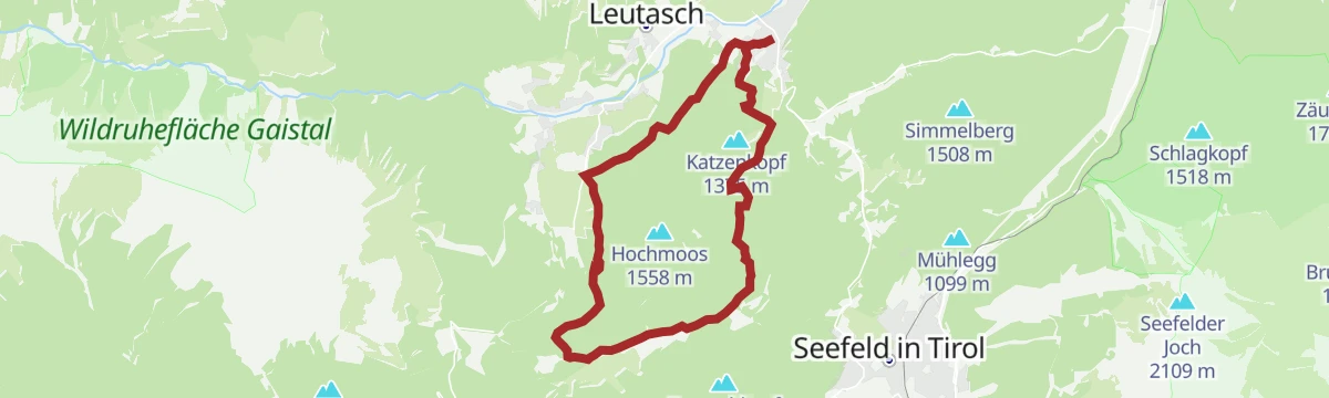
Rundwanderung Wildmoos-Hochmoos
A 13.9 km round from Leutasch through the Fludertal to the Wildmoosalm and on to the Hochmoos viewpoint, with 485 m of climb.
- 13.9 km
- Distance
- 486 m
- Ascent
- 4 h 28 min
- Duration
- 29
- Check-ins
Gipfeltour: Hohe Munde
Serious summit day over the Rauthhütte and Niedere Munde onto both tops of the Hohe Munde, the massive wedge that closes the Seefeld plateau.
- 13.1 km
- Distance
- 1 597 m
- Ascent
- 9 h 29 min
- Duration
- 23
- Check-ins
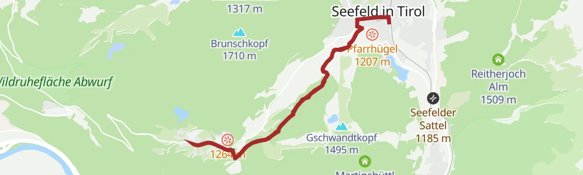
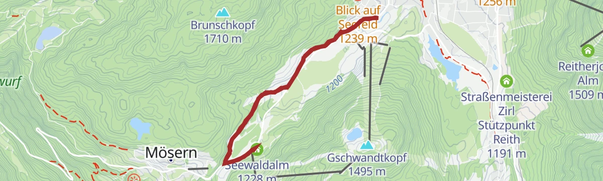
Bike-Verbindung Nr. 546 Mösern-Seefeld
A short track connection across the plateau between Mösern at 1,213 m and Seefeld, past the Sportalm and the Hinterfeldlift.
- 10.0 km
- Distance
- 178 m
- Ascent
- 1 h 3 min
- Duration
- 18
- Check-ins
Biketour Seefeld - Mösern - Wildmoos - Katzenkopf - Fludertal - Seefeld
A long forest-road circuit across the plateau, taking in the Wildmoosalm, the Kreithalm and the Arnspitzblick viewpoint.
- 27.3 km
- Distance
- 738 m
- Ascent
- 3 h 7 min
- Duration
- 28
- Check-ins
Innsbruck - Mösern - Seefeld
A long road day from the Inn valley onto the plateau at Mösern, continuing through the Leutasch past the Seewaldalm and the Kreithalm.
- 88.7 km
- Distance
- 1 388 m
- Ascent
- 9 h 11 min
- Duration
- 34
- Check-ins
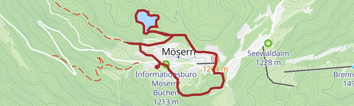
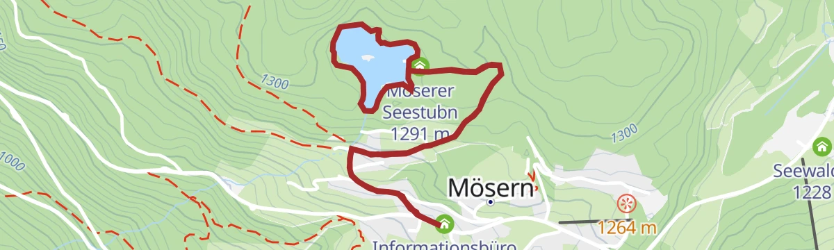
Rundwanderung Möserer See & Kalvarienberg
Short 2.7 km loop from Mösern over the Kalvarienberg to the Möserer See, with the peace bell and its outlook on the way.
- 2.7 km
- Distance
- 78 m
- Ascent
- 49 min
- Duration
- 12
- Check-ins
Etappe 5: Von Seefeld nach Mösern und über Wildmoos zurück nach Seefeld – Seefelder Hochplateau Winterweitwanderung
Closing winter stage of 14.5 km from Seefeld out to Mösern and back by Wildmoos, taking in the Möserer See, the peace bell and the Seekirchl.
- 14.5 km
- Distance
- 223 m
- Ascent
- 3 h 57 min
- Duration
- 26
- Check-ins
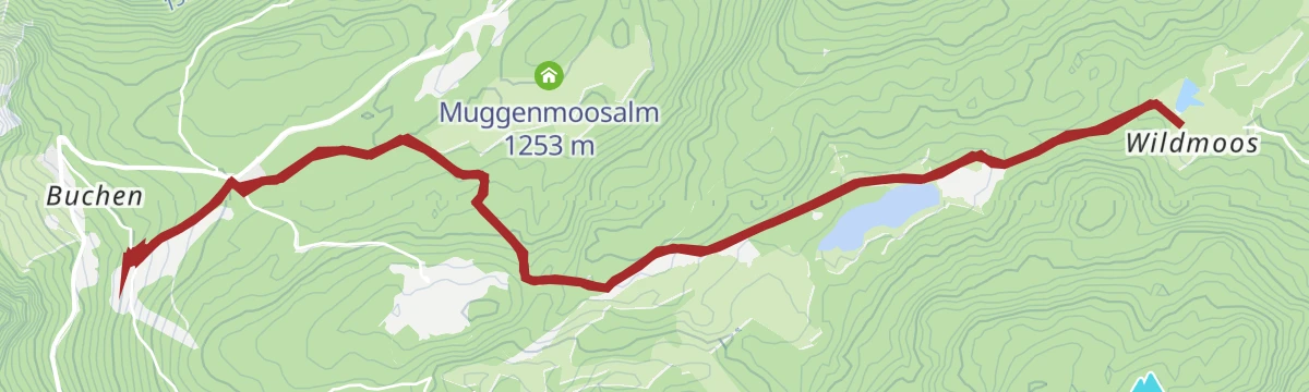
Rundwanderung von Seefeld zur Lottenseehütte & Muggenmoosalm
A 16 km round from Seefeld by Mösern to the Lottenseehütte and the Muggenmoosalm, passing the peace bell above the Inn valley.
- 16.1 km
- Distance
- 422 m
- Ascent
- 4 h 49 min
- Duration
- 12
- Check-ins
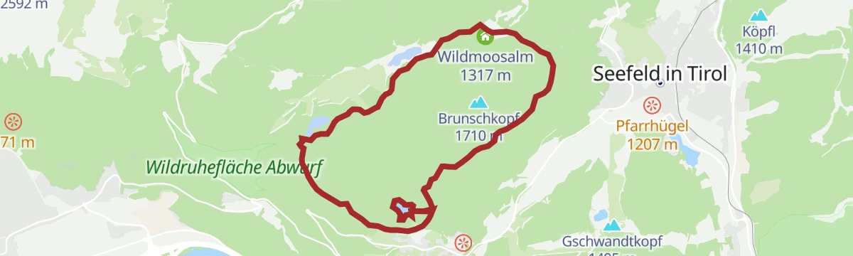
Biketour Nr. 544 Mösern–Wildmoos rund um den Brunschkopf
An easy-going forest-road circuit of the Brunschkopf, running from Mösern through the Wildmoos to the Wildmoosalm and back.
- 11.7 km
- Distance
- 306 m
- Ascent
- 1 h 19 min
- Duration
- 18
- Check-ins
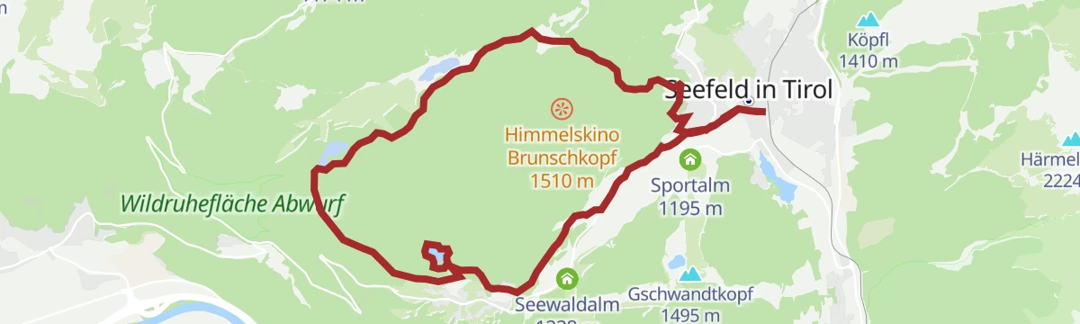
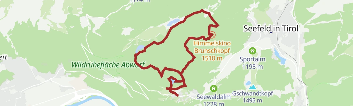
Gravel Wildmoos
A gravel loop above Seefeld climbing to the Himmelskino platform on the Brunschkopf at 1,510 m, with the alm at 1,317 m below.
- 19.5 km
- Distance
- 459 m
- Ascent
- 2 h 10 min
- Duration
- 17
- Check-ins
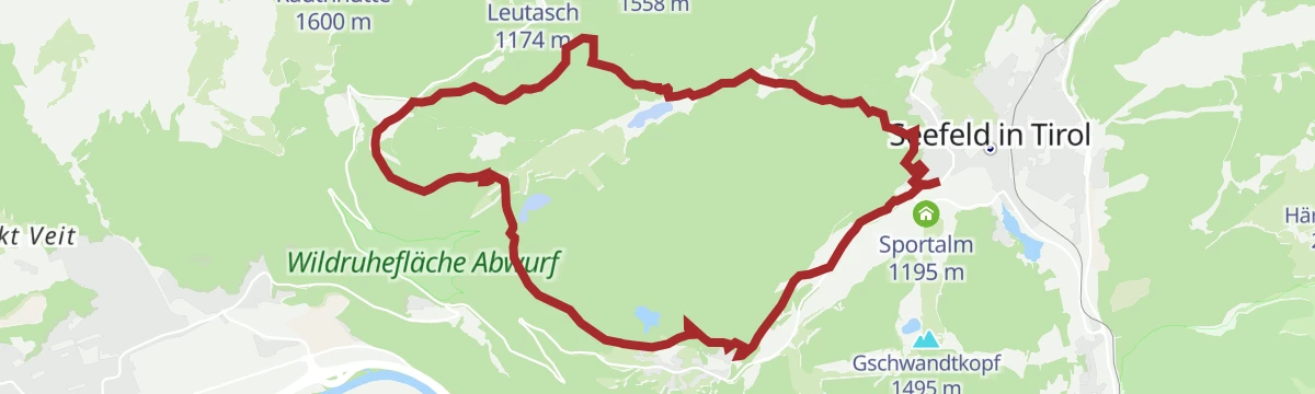
Gravel Wildmoos
A gravel loop out of Seefeld across the Wildmoos, adding the climb to the Himmelskino viewpoint on the Brunschkopf.
- 19.5 km
- Distance
- 607 m
- Ascent
- 2 h 18 min
- Duration
- 17
- Check-ins
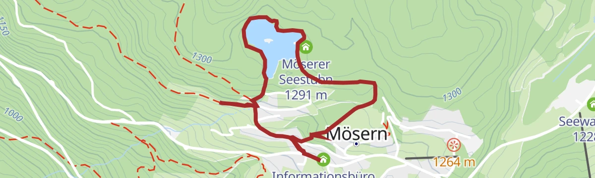
W27: Winterrundwanderung Möserer See
Short 3.5 km forest round from Mösern to the snowed-over Möserer See, with under 100 m of climb.
- 3.5 km
- Distance
- 97 m
- Ascent
- 1 h 3 min
- Duration
- 12
- Check-ins
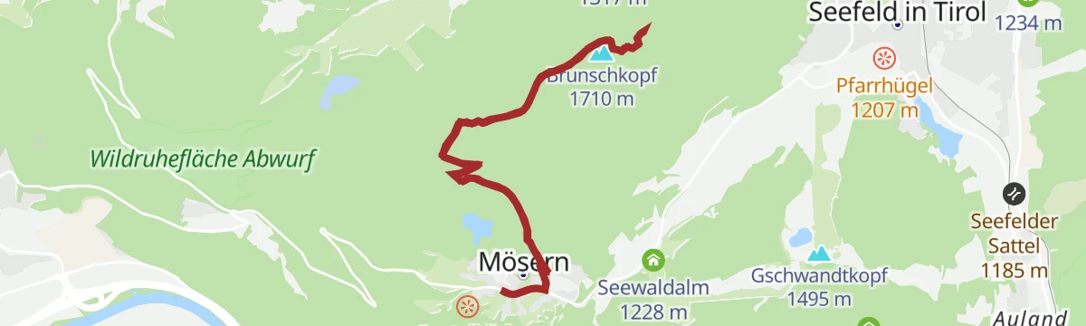
Rundwanderung Aussichtsplattform Brunschkopf mit Ausgangspunkt Mösern
A 12.9 km round from Mösern to the Brunschkopf platform, with 395 m of climb and a chance to see the Wildmoossee and Lottensee, which appear only in some years.
- 12.9 km
- Distance
- 392 m
- Ascent
- 3 h 59 min
- Duration
- 24
- Check-ins
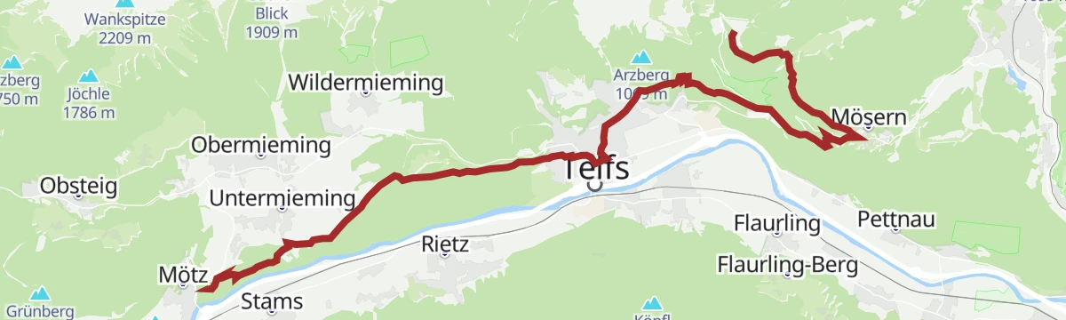
Jakobsweg Etappe 12: Von Buchen nach Telfs/Mötz
Way of St James stage of 23.7 km from Buchen past the Wildmoos golf course and the Lottenseehütte to Mösern, then down by the Möserer chapel and Bairbach to Telfs and Mötz.
- 23.7 km
- Distance
- 585 m
- Ascent
- 7 h 24 min
- Duration
- 8
- Check-ins
Biketour Nr. 5070 Neuleutasch-Wildmoos
A short ride from Neuleutasch up to the Wildmoosalm at 1,317 m on forest track.
- 7.6 km
- Distance
- 129 m
- Ascent
- 48 min
- Duration
- 12
- Check-ins
Imster Radmarathon | Panoramarunde (Jubiläum)
A long tour out of Imst over the Holzleitensattel at 1,119 m, looping back down the Inn valley past the mouth of the Pitztal.
- 79.5 km
- Distance
- 727 m
- Ascent
- 7 h 45 min
- Duration
- 14
- Check-ins
Gravel - The Adventure Ride
A long gravel day out of the Leutasch valley by way of the Klamm and the Porta Claudia fortifications, with the Kalvarienberg viewpoint on the loop.
- 51.0 km
- Distance
- 1 136 m
- Ascent
- 5 h 36 min
- Duration
- 12
- Check-ins
W30: Winterwanderung Friedensweg
Quiet 4.6 km winter walk from Mösern around the Möserer See and up to the alpine peace bell.
- 4.6 km
- Distance
- 91 m
- Ascent
- 1 h 18 min
- Duration
- 12
- Check-ins
Etappe 4: Von Weidach durch das Fludertal und über Wildmoos nach Seefeld – Seefelder Hochplateau Winterweitwanderung
Winter stage of 7.9 km from Weidach through the Fludertal and the Wildmoos nature reserve to Seefeld, with 230 m of climb.
- 7.9 km
- Distance
- 230 m
- Ascent
- 2 h 23 min
- Duration
- 23
- Check-ins
Jakobsweg „Isar-Loisach-Leutascher Ache-Inn“
Long Camino de Santiago stage through the Seefeld region, following the pilgrim route from the Isar catchment over Mösern towards the Inn valley.
- 24.3 km
- Distance
- 730 m
- Ascent
- 7 h 29 min
- Duration
- 8
- Check-ins
Biketour Nr. 547 Wildmoos-Buchen
An easy ride across the Wildmoos basin to the Wildmoosalm and on to Buchen, with very little climbing on the way.
- 9.0 km
- Distance
- 171 m
- Ascent
- 58 min
- Duration
- 12
- Check-ins
Gravel - The Adventure Ride
A long gravel route from Telfs over the Kreithalm into the Leutasch, passing the Porta Claudia.
- 51.0 km
- Distance
- 834 m
- Ascent
- 5 h 19 min
- Duration
- 12
- Check-ins
Mieminger Plateau Runde
A near-100 km road round out of the Inn valley, climbing to the terrace villages above Mieming and past Gasthaus Arzkasten.
- 97.1 km
- Distance
- 1 138 m
- Ascent
- 9 h 41 min
- Duration
- 12
- Check-ins
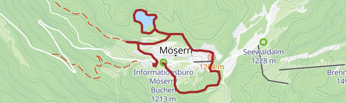
Dorflaufrunde Mösern
Village running-and-walking loop at Mösern above the Inn valley, circling out to the Möserer See and its small lakeside Seestubn inn.
- 4.4 km
- Distance
- 130 m
- Ascent
- 1 h 21 min
- Duration
- 12
- Check-ins
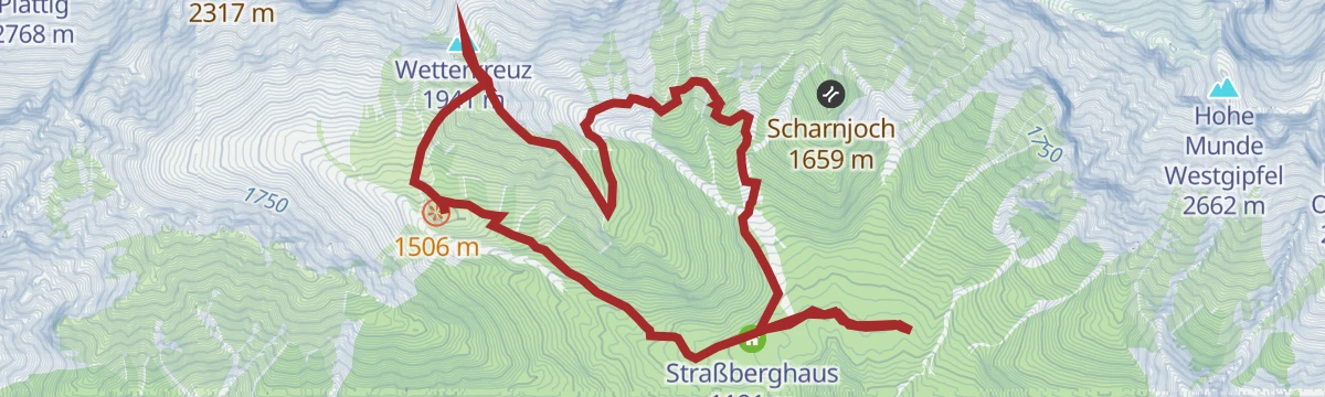
Wetterkreuz
Climb from Wildermieming past the Alplhaus to the Wetterkreuz, a summit cross with a wide sweep over the Inntal and the Mieminger range.
- 10.3 km
- Distance
- 885 m
- Ascent
- 5 h 37 min
- Duration
- 23
- Check-ins
Biketour Nr. 5068 Mösern-Brunschkopf
A short forest-road climb from Mösern to the Himmelskino viewpoint on the Brunschkopf, with about 280 m of ascent.
- 8.9 km
- Distance
- 280 m
- Ascent
- 1 h 3 min
- Duration
- 6
- Check-ins
Biketour Nr. 5067 Salzbach-Ropferstub'm
A ride up the Salzbach above Telfs to the Ropferstub'm, passing the Mundestadl on the way.
- 16.2 km
- Distance
- 485 m
- Ascent
- 1 h 54 min
- Duration
Von Innsbruck aufs Mieminger Plateau und retour
An 80 km out-and-back from Innsbruck down the Inn past Kranebitten and Hatting, then up onto the Mieminger Plateau.
- 79.5 km
- Distance
- 774 m
- Ascent
- 7 h 47 min
- Duration
- 6
- Check-ins
Rundwanderung im Möserer Tal
Flat 3.2 km loop from the Seekirchl through the Möserer Tal, passing the sports arena and the WM-Turm platform.
- 3.2 km
- Distance
- 20 m
- Ascent
- 48 min
- Duration
- 7
- Check-ins
Neue Alplhütte über Hintereggensteig
Approach over the Hintereggensteig to the Neue Alplhütte, climbing through forest and rocky terrain below the Mieminger peaks with several hut options.
- 12.3 km
- Distance
- 834 m
- Ascent
- 5 h 36 min
- Duration
- 22
- Check-ins
Biketour Nr. 5048 Muggenmoosalm
A ride to the Muggenmoosalm on the Leutasch plateau, passing the Weidachsee on the way.
- 14.7 km
- Distance
- 326 m
- Ascent
- 1 h 37 min
- Duration
- 3
- Check-ins
Dörferrunde von Innsbruck nach Telfs
A village-to-village road tour down the Inn valley from Innsbruck to Telfs, past Kranebitten and the Schleicherplatten climbing crag.
- 68.3 km
- Distance
- 789 m
- Ascent
- 6 h 48 min
- Duration
- 4
- Check-ins
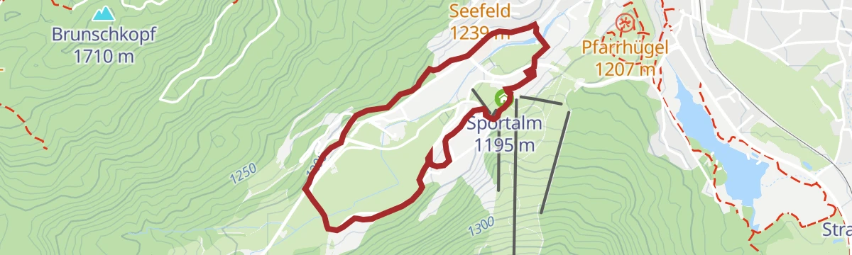
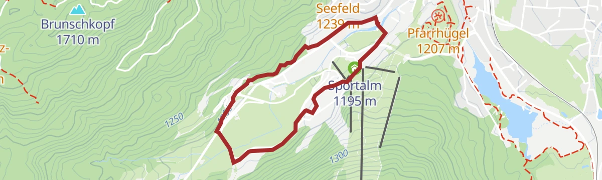
Stadion-Laufrunde
Short, nearly flat running loop around Seefeld's Nordic stadium grounds, handy for a warm-up or an easy jog past the Sportalm.
- 3.0 km
- Distance
- 51 m
- Ascent
- 49 min
- Duration
- 7
- Check-ins
W28: Winterrundwanderung Mösern-Wildmoosalm-Lottenseehütte
Winter round of 10.9 km around the Brunschkopf taking in three lakes and three huts, among them the Wildmoosalm and the Lottenseehütte.
- 10.9 km
- Distance
- 221 m
- Ascent
- 3 h 6 min
- Duration
- 21
- Check-ins
Radweg Mieming (23)
A signed road tour out of Mieming with a long pull up to Gasthaus Arzkasten, then a descent back to the valley floor.
- 32.9 km
- Distance
- 665 m
- Ascent
- 3 h 33 min
- Duration
- 1
- Check-ins
W8: Winterwanderung zur Seewaldalm
Easy 6.2 km walk through winter woodland from Mösern to the Seewaldalm, with barely any climbing.
- 6.2 km
- Distance
- 61 m
- Ascent
- 1 h 36 min
- Duration
- 5
- Check-ins
Über den Hintereggensteig zur Neuen Alplhütte
Route up the Hintereggensteig to the Neue Alplhütte beneath the Mieminger chain, passing the Straßberghaus and the Alplhaus.
- 10.8 km
- Distance
- 763 m
- Ascent
- 5 h 4 min
- Duration
- 21
- Check-ins
Genuss-Radweg Inntal
A valley cycle path along the Inn between Innsbruck and Mötz, running through Hatting, Telfs and Stams on the flat valley floor.
- 110.0 km
- Distance
- 607 m
- Ascent
- 10 h 19 min
- Duration
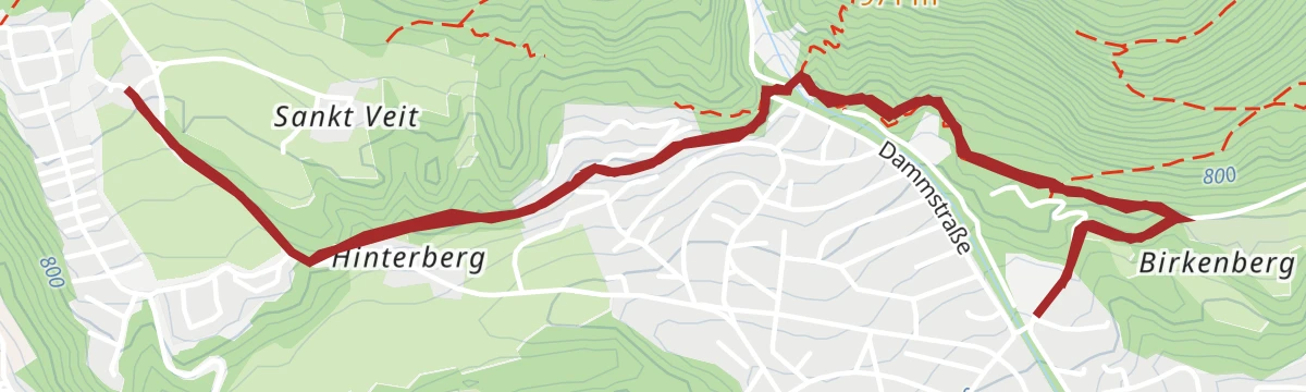
Birkenberg - Wasserwaal - Lehen
Short round above Telfs along the Birkenberg, following a historic irrigation channel through the woods towards Lehen.
- 6.0 km
- Distance
- 177 m
- Ascent
- 1 h 50 min
- Duration
- 1
- Check-ins
Aussichtsplattform Brunschkopf über Wildmoosalm von Leutasch
A 12.7 km walk from Leutasch through the Fludertal and past the Wildmoosalm to the viewing platform on the Brunschkopf, 450 m of climb.
- 12.7 km
- Distance
- 449 m
- Ascent
- 4 h 6 min
- Duration
- 18
- Check-ins
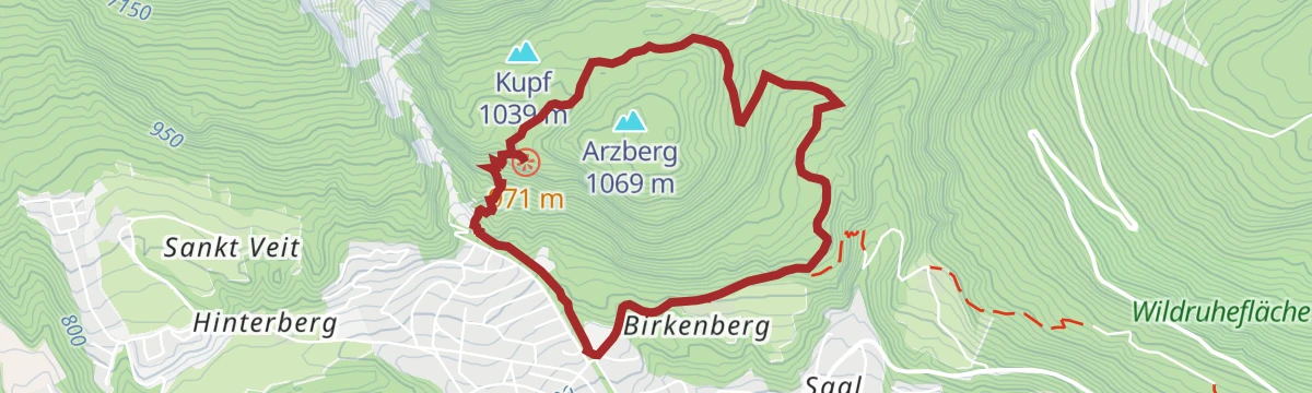
Rund um den Kupf
Easy circuit around the Kupf, a wooded knoll above Telfs, on well-graded paths with Inntal views through the trees.
- 4.9 km
- Distance
- 313 m
- Ascent
- 2 h 8 min
- Duration
- 1
- Check-ins
Rundwanderung von Seefeld zum Möserer See
A 9.5 km round from Seefeld to the Möserer See, passing the WM-Turm and the Toni Seelos ski jumps, with an inn at the lake.
- 9.5 km
- Distance
- 154 m
- Ascent
- 2 h 37 min
- Duration
- 16
- Check-ins



















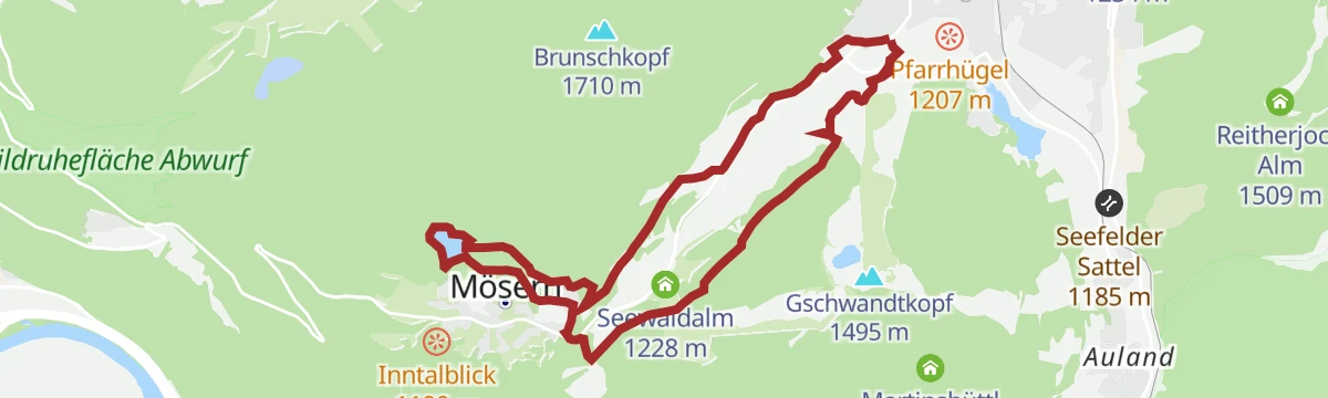
No routes of this kind in Telfs yet.
The region's own picks
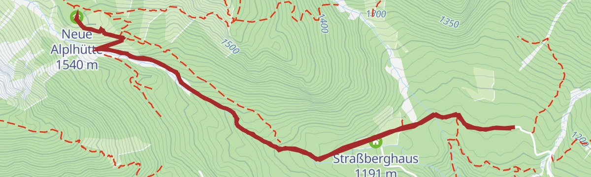
Featured route
Durch das Steinerne Meer
Easy route through the Steinernes Meer boulder terrain on the Mieming plateau, linking the Alplhaus and the Straßberghaus.
Planning a trip to Telfs?
Everything else Tyrol has, in one place


Take Telfs with you into the mountains
Every route on this page with 3D terrain, GPX navigation and offline maps — including the valleys with no signal.
Data sources
- Official website: seefeld.com ↗
- Routes and highlights: Region Seefeld, Innsbruck Tourismus, Imst Tourismus, Serfaus-Fiss-Ladis
- Published as open data by the tourist boards named above.
- Region summary generated from the board's own material.
