



















Curated by Imst Tourismus
Tarrenz
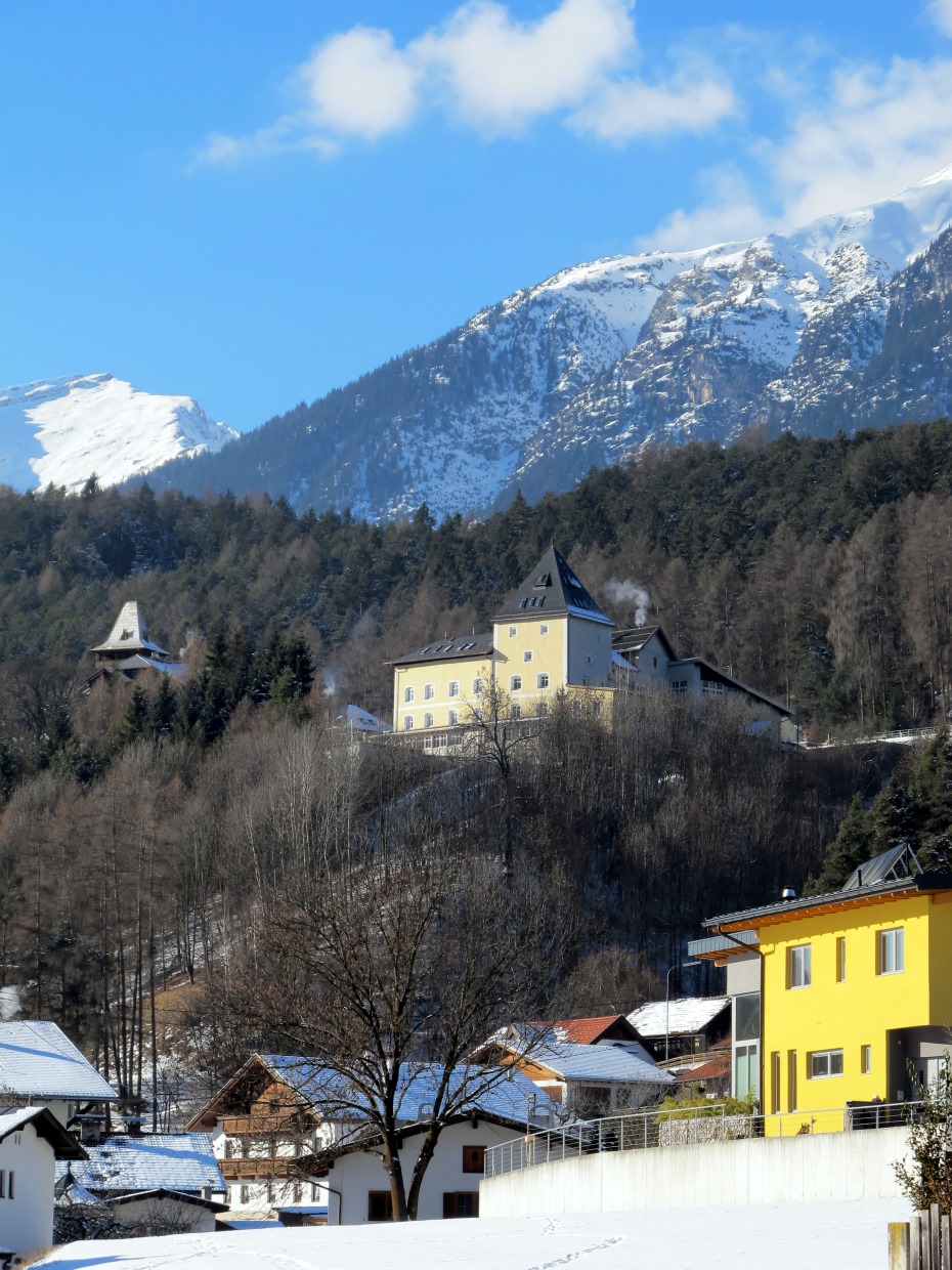
In the Gurgltal just north of Imst, a sheep-farming village at about 800 m with the Knappenwelt mining museum and the Starkenberg castle brewery.
Photo: Bbb · CC BY-SA 3.0 licence
- 4Highlights
- 49Routes
- Featured summit · Zwölferkopf
Highlights
11 from neighbouring places
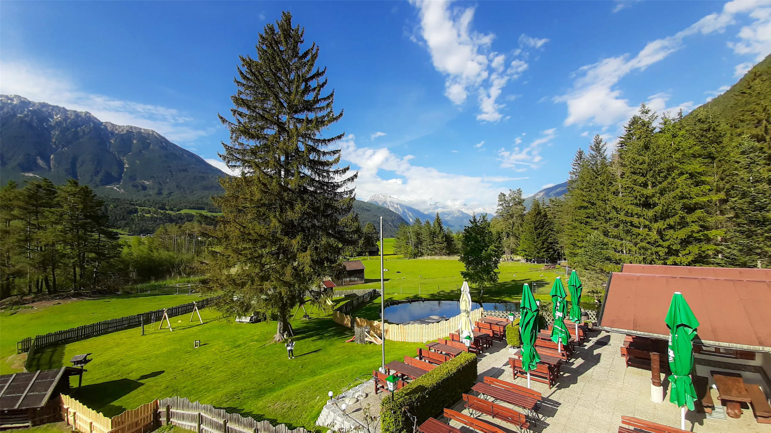
Happis Hütte
A hut above Tarrenz in the Imst region, reachable by bike, with a sun terrace and a menu that runs to ice cream and cakes.
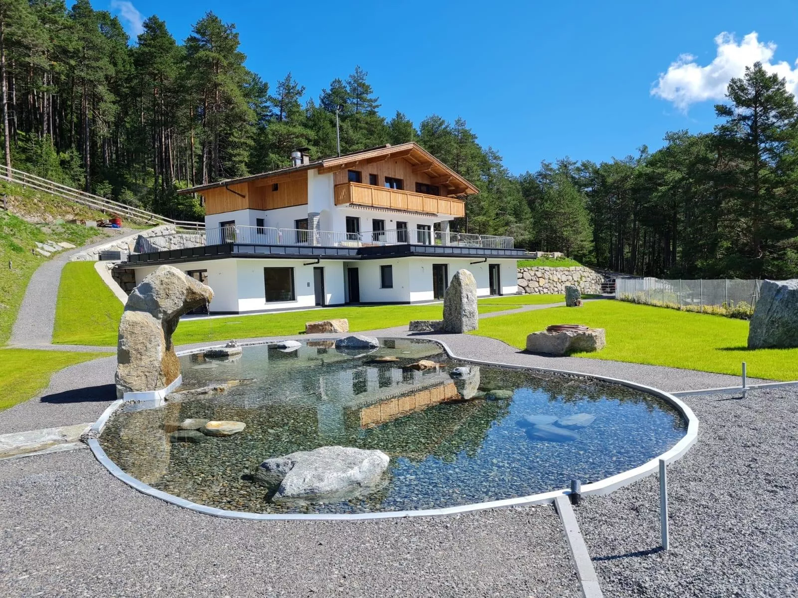
Sinnes Waldrast
A forest inn above Tarrenz in the Imst region with restaurant service, a sun terrace and rooms for overnight guests.
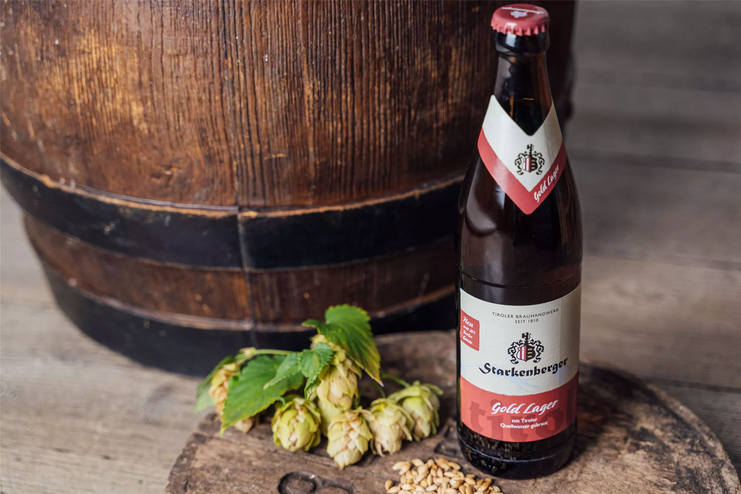
Brauerei Schloß Starkenberg / Biermythos
A brewery in Starkenberg castle at Tarrenz, where the Biermythos tour covers Tyrolean brewing history and offers tastings.
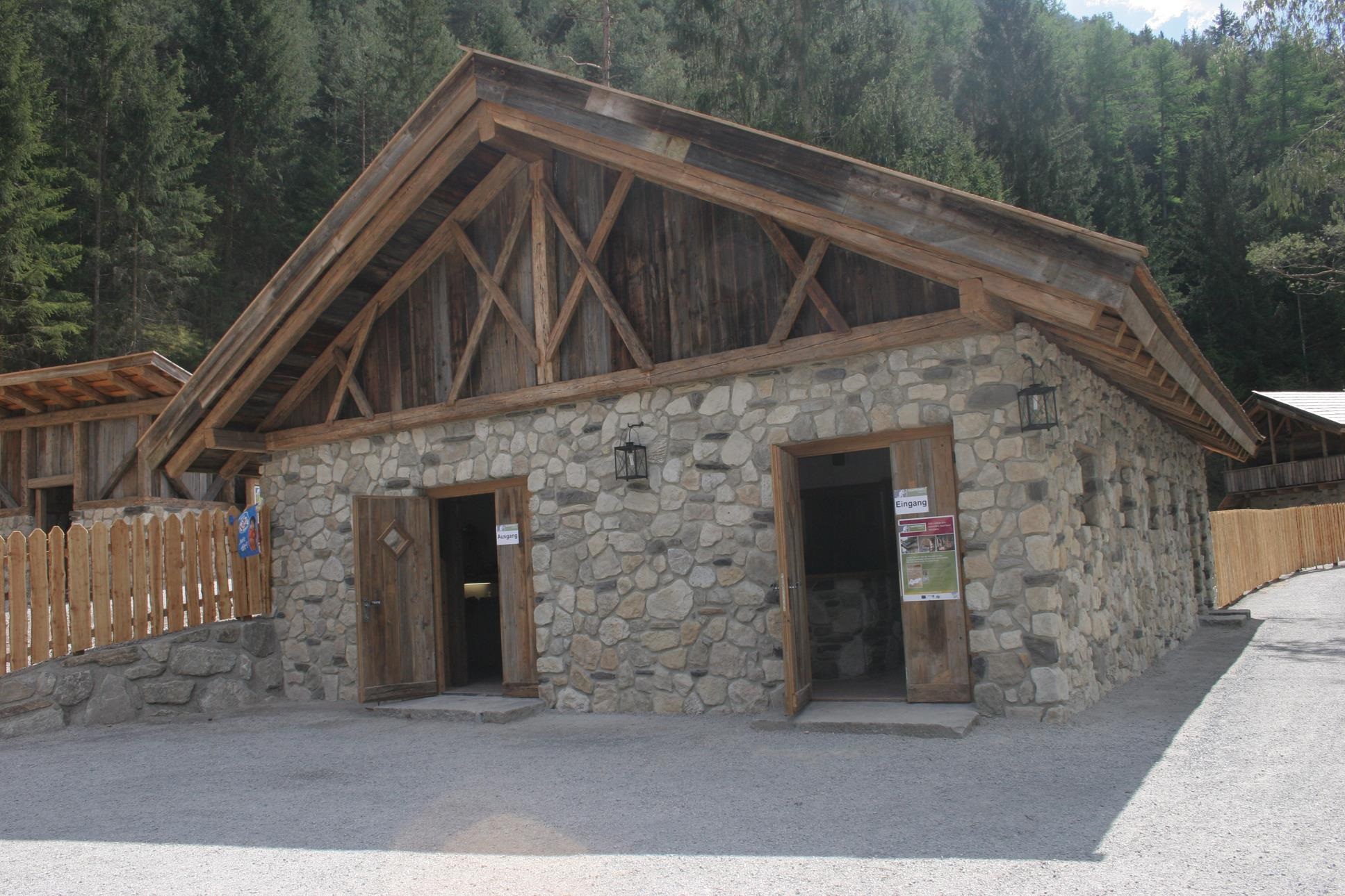
Knappenwelt Gurgltal
An open-air museum at Tarrenz reconstructing the medieval mining and ore-processing works of the Gurgltal miners.
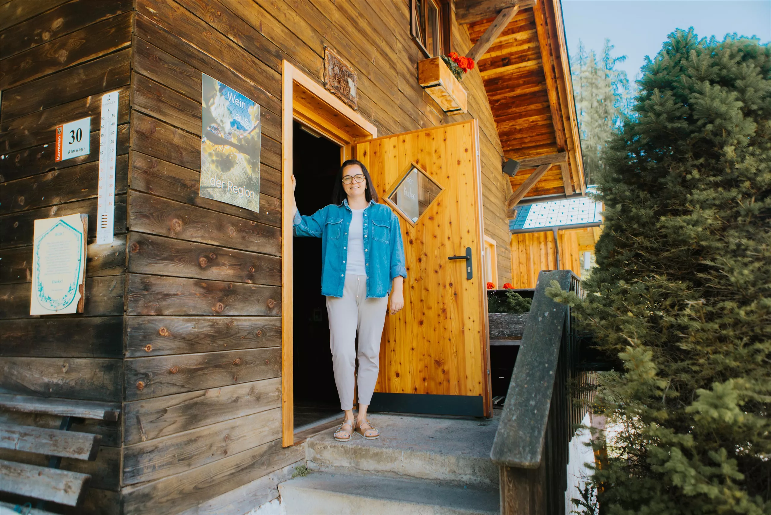
Karröster Alm
5.8 km away, in Karrösten
An alpine pasture above the village of Karrösten in the Imst region, serving walkers on the lower slopes of the Tschirgant.
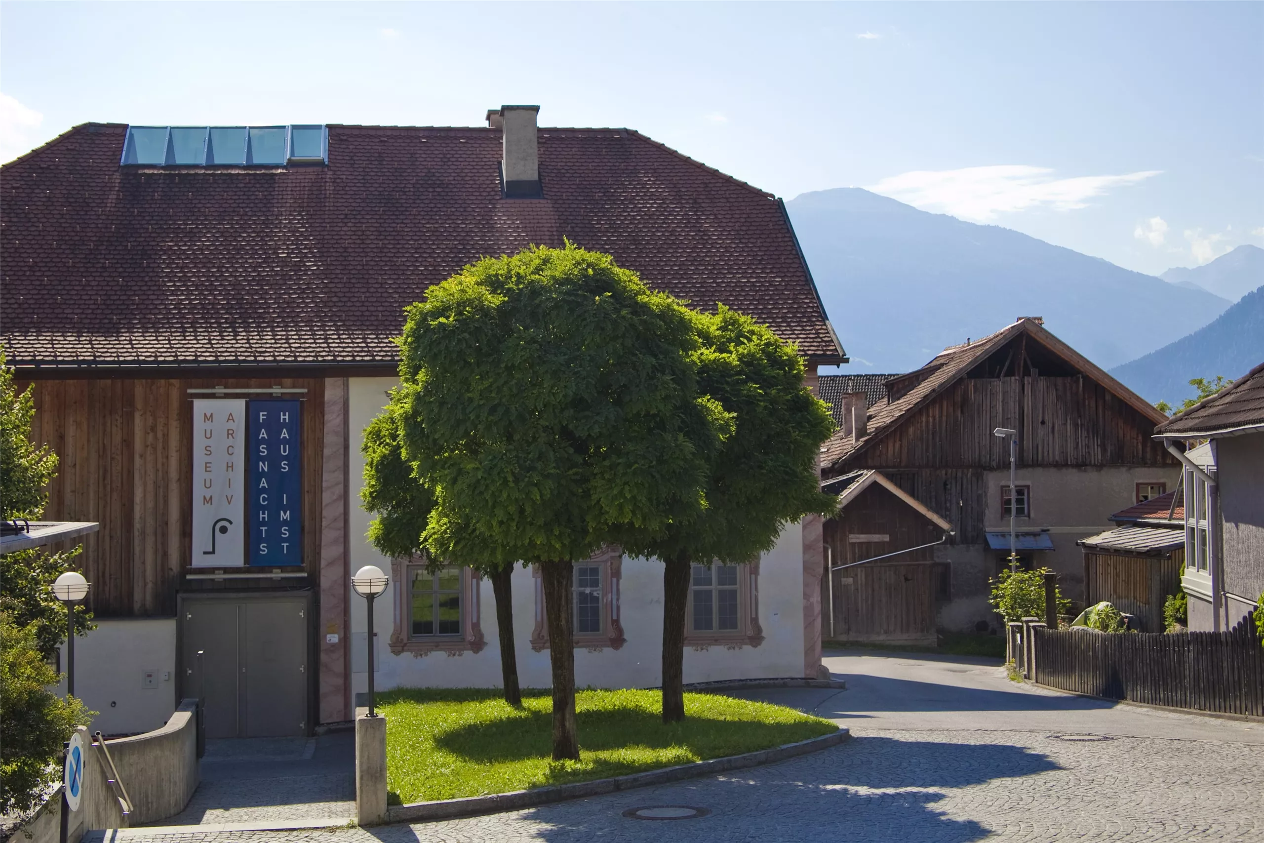
Haus der Fasnacht
6 km away, in Imst
A museum in Imst on the town's Schemenlaufen carnival, a masked procession inscribed on UNESCO's intangible cultural heritage list.
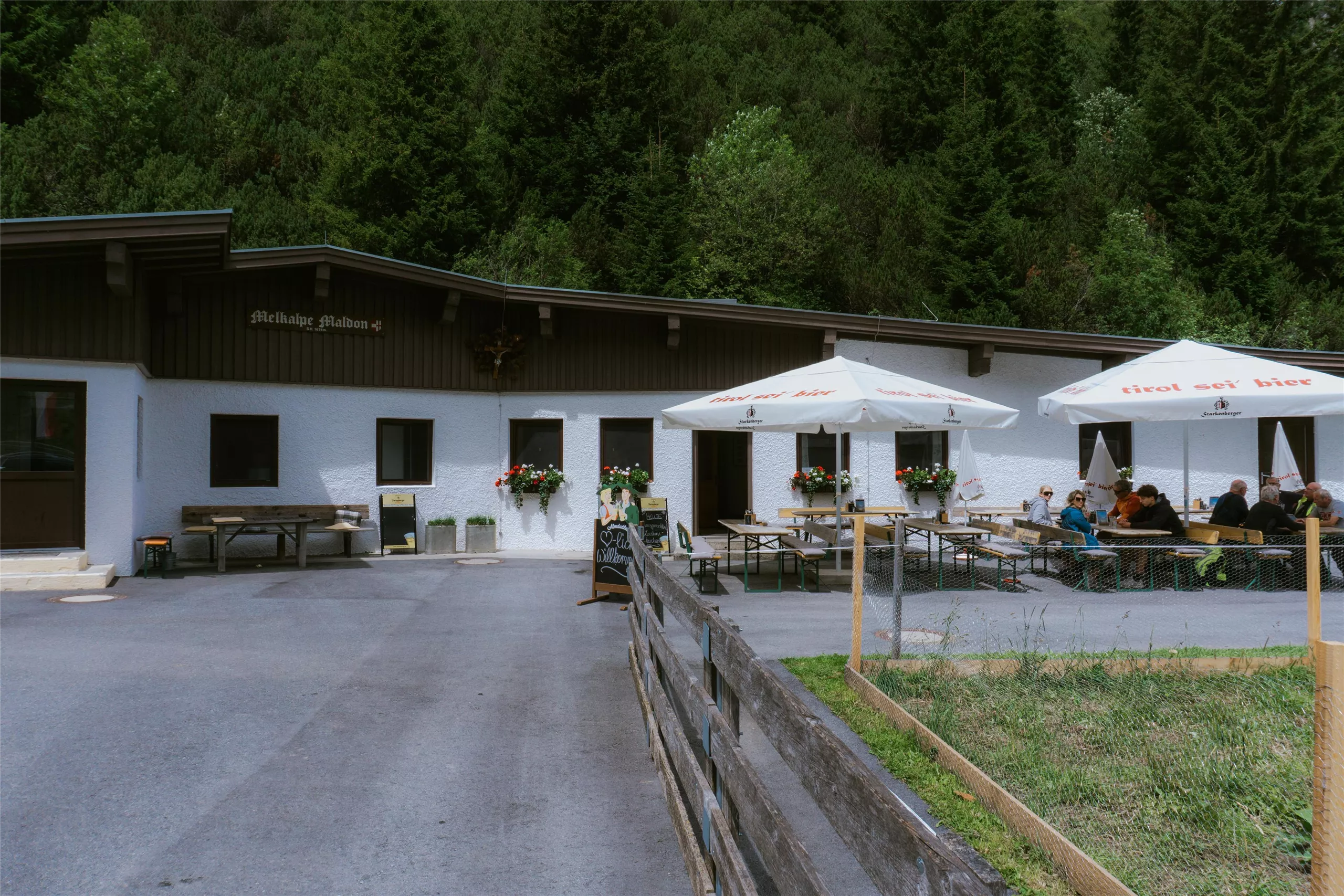
Maldonalm
6.2 km away, in Imst
An alpine pasture hut in the mountains northwest of Imst (827 m), reached on foot from the town and its surrounding valleys.
Klettergarten Heiterwand
6.3 km away, in Imst
A climbing area on the Heiterwand, a long rock wall of the Lechtal Alps reached from the Bschlabs side, with bolted routes.
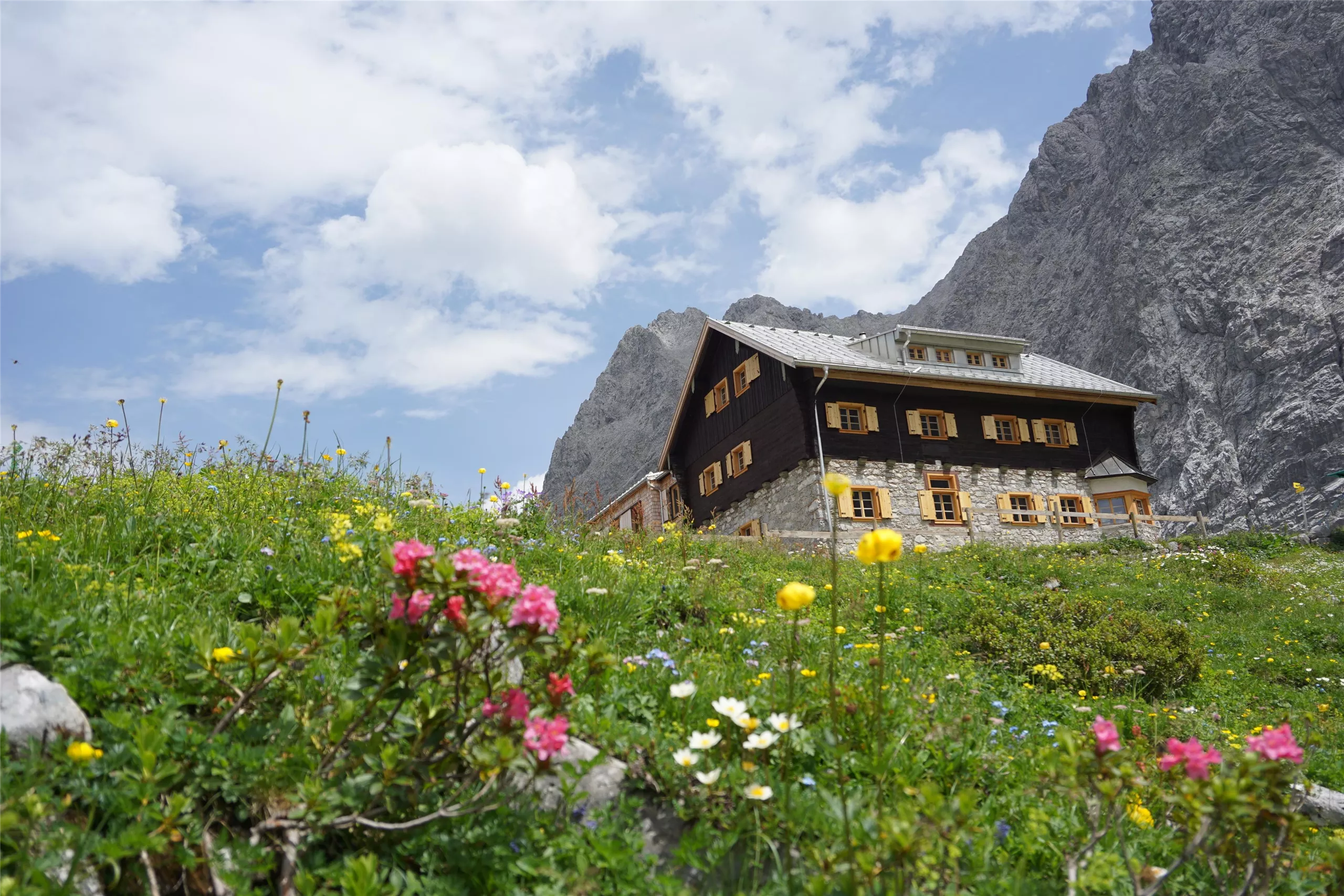
Anhalter Hütte 2.040 m
6.3 km away, in Imst
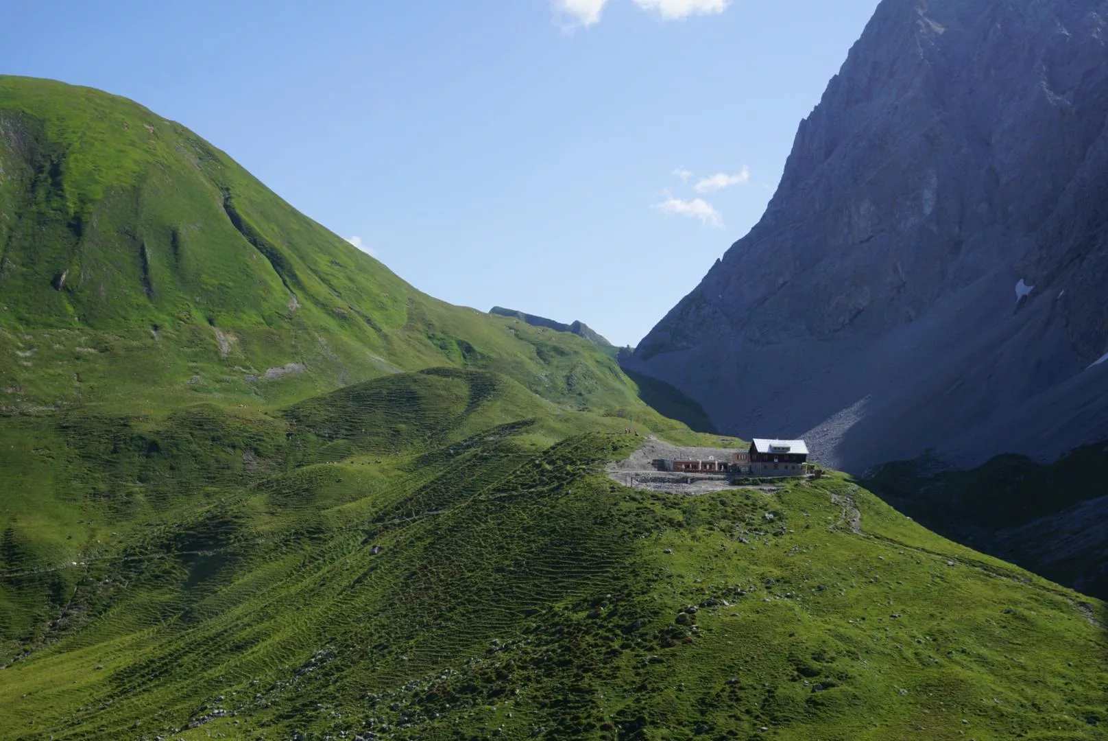
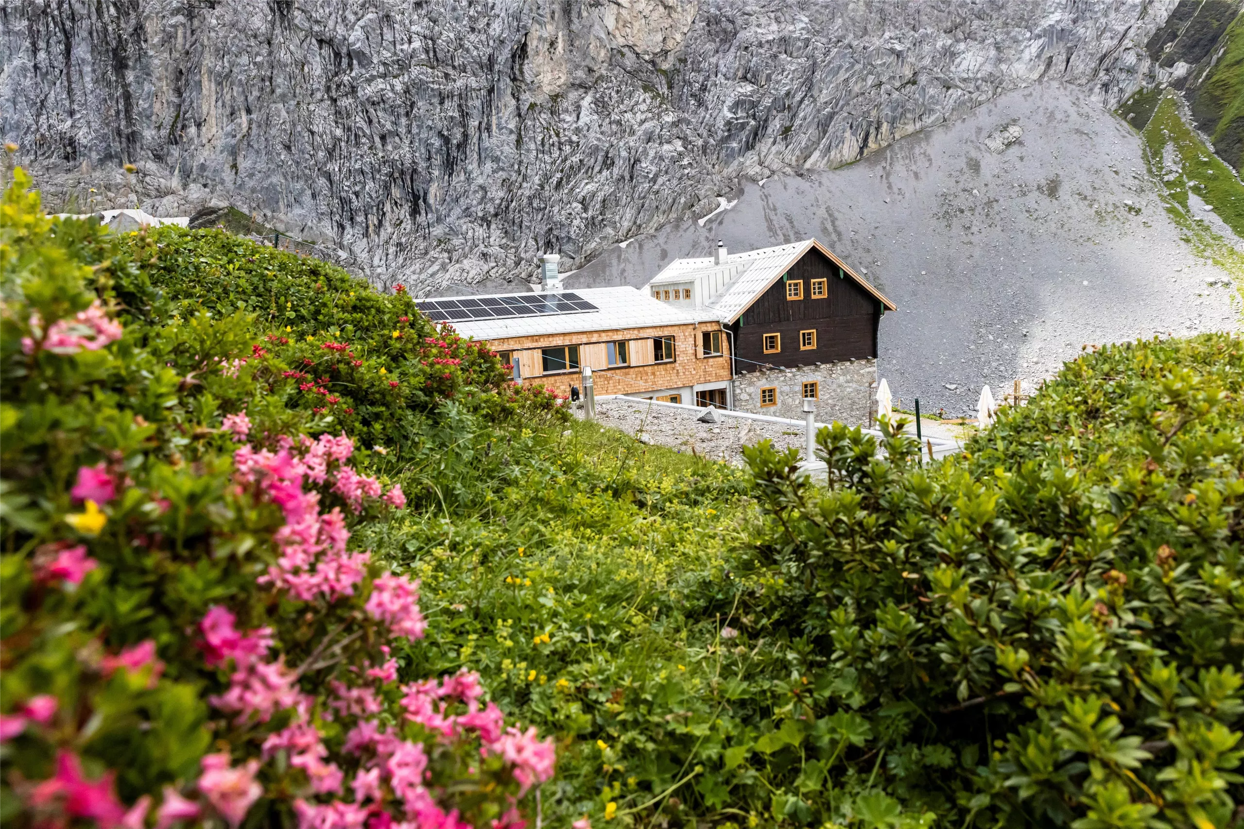
An alpine club refuge at 2,040 m below the Heiterwand near Pfafflar, a base for crossings and summits in the eastern Lechtal Alps.
Fasnachtshaus Nassereith
6.5 km away, in Nassereith
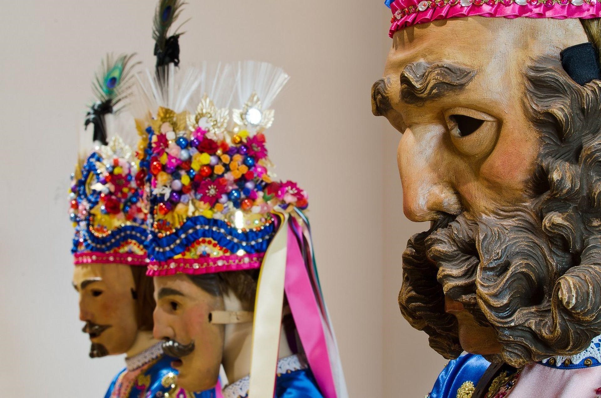
A museum in Nassereith devoted to the village's Fasnacht carnival, displaying the carved masks and costumes of the Schellerlaufen.
Städtische Galerie Theodor von Hörmann
6.7 km away, in Imst
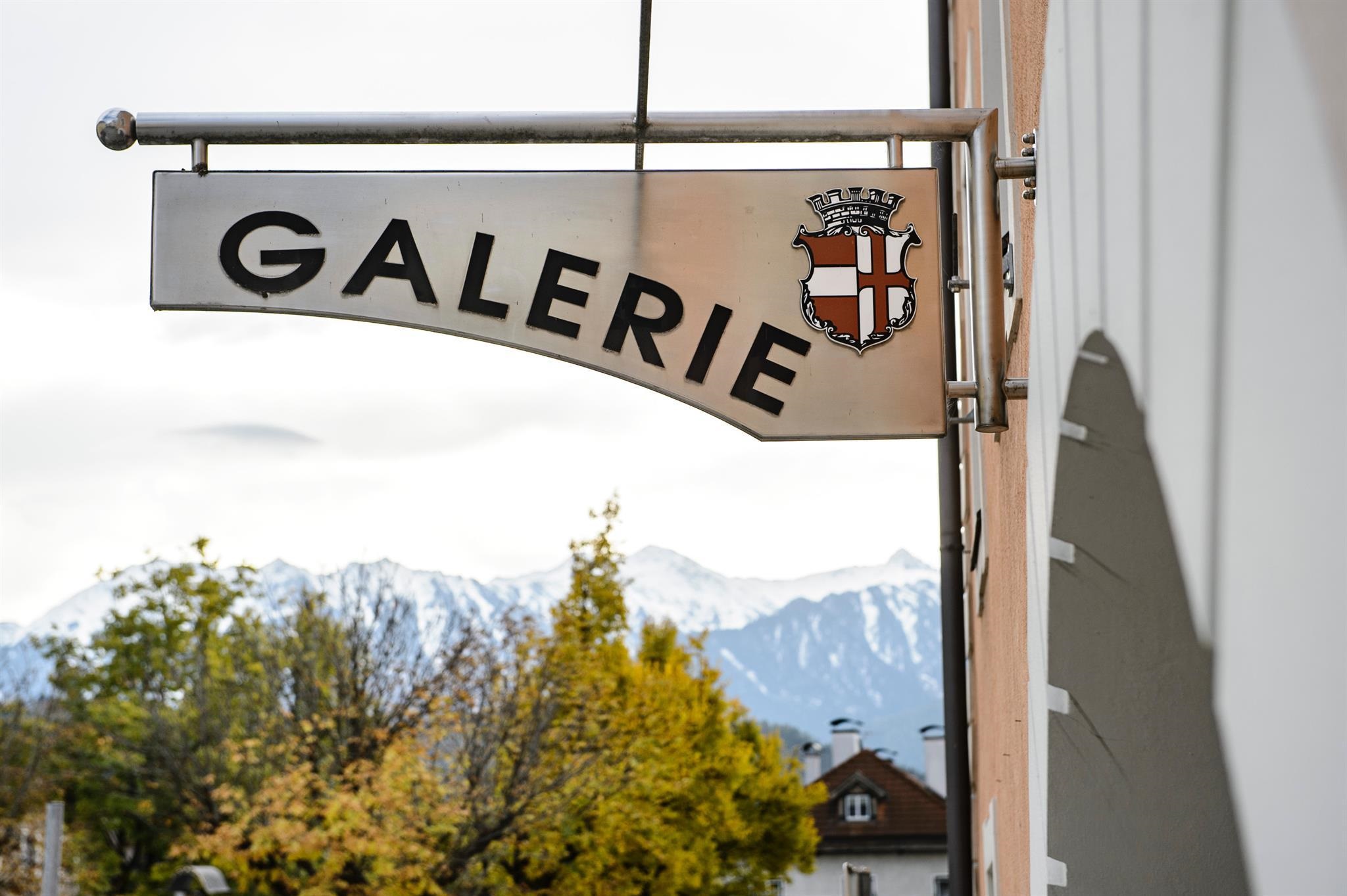
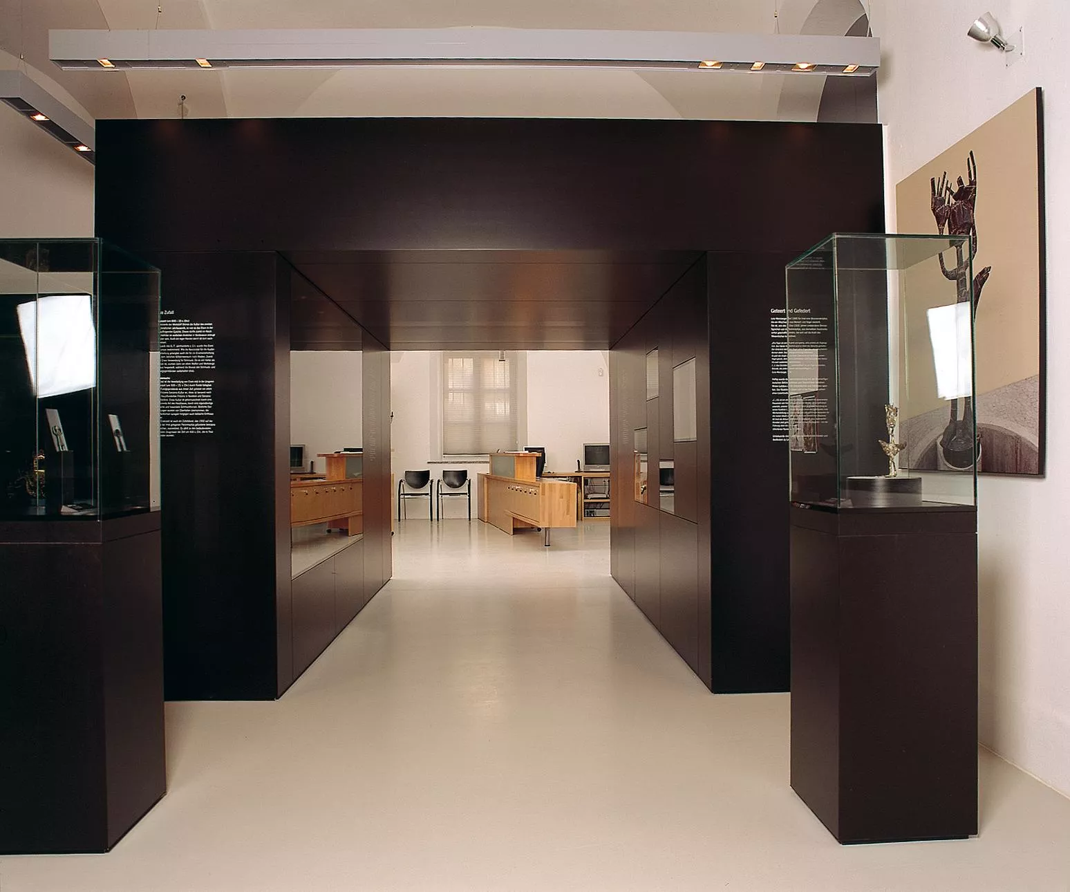
The municipal gallery of Imst, named after the painter Theodor von Hörmann, born in the town in 1840, with changing exhibitions.
Museum im Ballhaus
6.8 km away, in Imst
The town museum of Imst, housed in the Ballhaus, covering local history from the market town's trades to alpine daily life.
Anhalter Hütte
6.8 km away, in Imst
An alpine club hut in the Lechtal Alps reached from the Hahntennjoch road near Imst, offering meals and overnight beds.
Alpine Coaster Imst
6.8 km away, in Imst
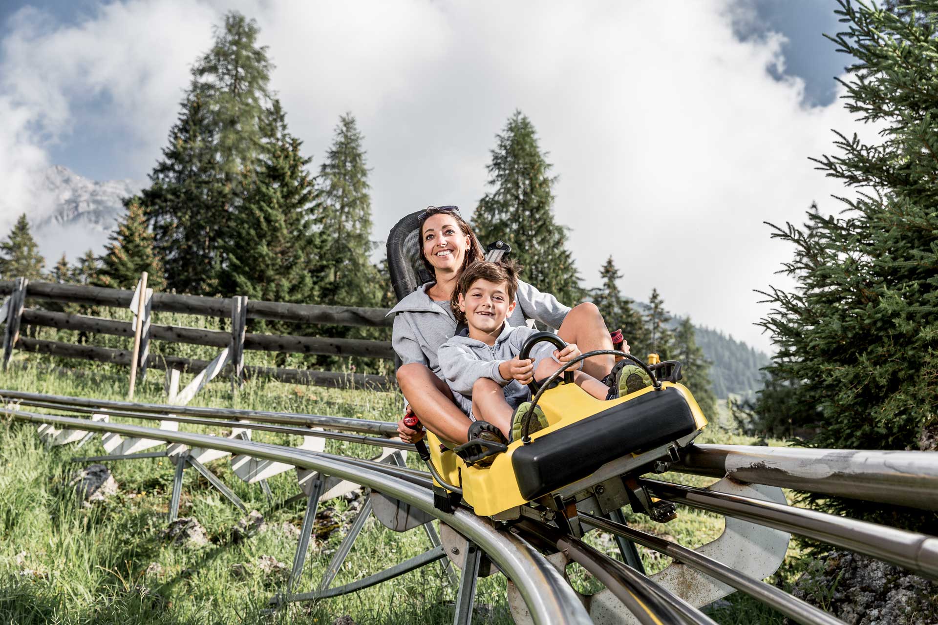
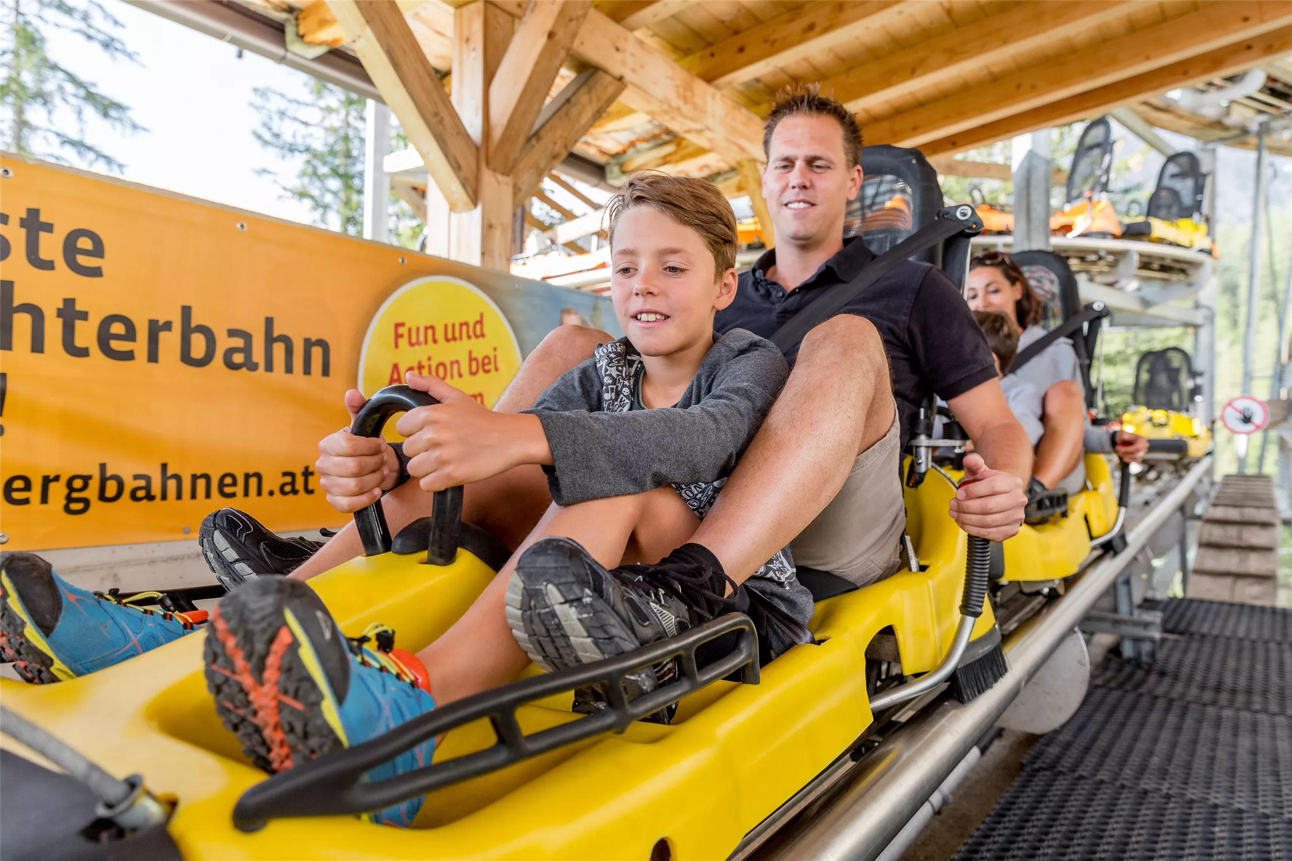
A rail-mounted toboggan run at Hochimst above Imst, descending the mountainside in banked curves and spirals.
Alpine Coaster
6.9 km away, in Imst
A rail-mounted toboggan run at Hoch-Imst above Imst, open in summer and winter, descending the hillside in long curves.
Nothing of this kind in Tarrenz.
Routes
Starkenberger See
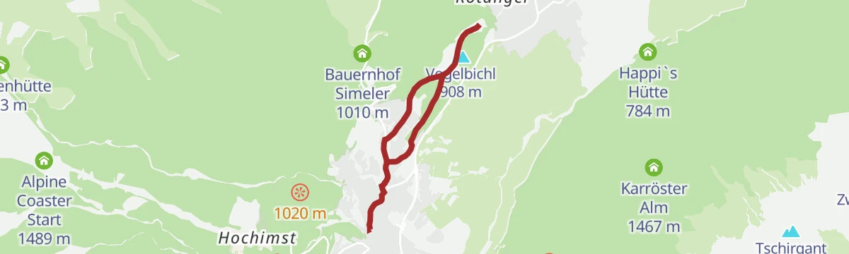
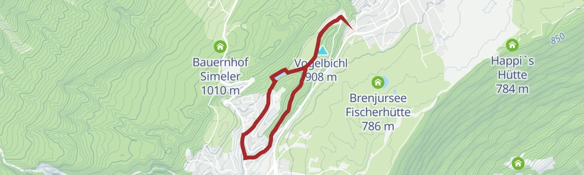
Gentle 5.2 km walk from the Starkenberg brewery over the Vogelbichl to the Starkenberger See, with about 100 m of climb.
- 5.2 km
- Distance
- 118 m
- Ascent
- 1 h 31 min
- Duration
- 5
- Check-ins
Sinnesjoch
Climb of 811 m from Sinnesbrunn past the Kälberhütte to the Sinnesjoch, 7.3 km with the Gurgltal spread out below.
- 7.3 km
- Distance
- 811 m
- Ascent
- 4 h 54 min
- Duration
- 7
- Check-ins
Adlerweg-Etappe 18: Lorea Hütte – Anhalter Hütte
One of the remotest Adlerweg stages: a steep, scree-laden pull to the Loreascharte at 2,315 m, then a sharp drop into the Heimbachtal before the Tarrentonalm and the Anhalter Hütte.
- 16.0 km
- Distance
- 1 269 m
- Ascent
- 8 h 10 min
- Duration
- 19
- Check-ins
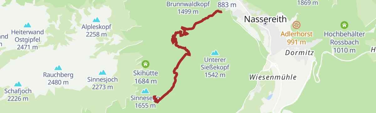
Sinnesbrunn
Snowshoe route of 3.9 km and 475 m of climb following the old pilgrims' path up to Sinnesbrunn, with the Gasthof Waldrast on the way.
- 3.9 km
- Distance
- 501 m
- Ascent
- 0 m
- Descent
- 1 h 33 min
- Duration
- 2
- Check-ins
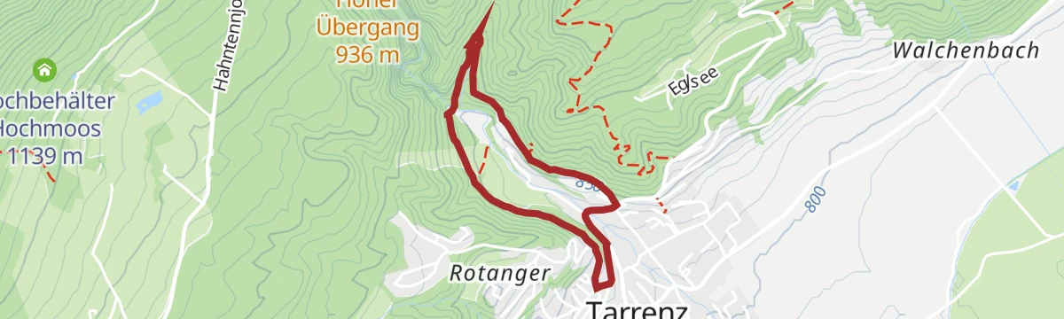
Hachleschlucht (Nr. 619)
A short, easy waymarked forest track running up the gorge above Tarrenz in the Tyrolean Gurgltal.
- 3.5 km
- Distance
- 222 m
- Ascent
- 30 min
- Duration
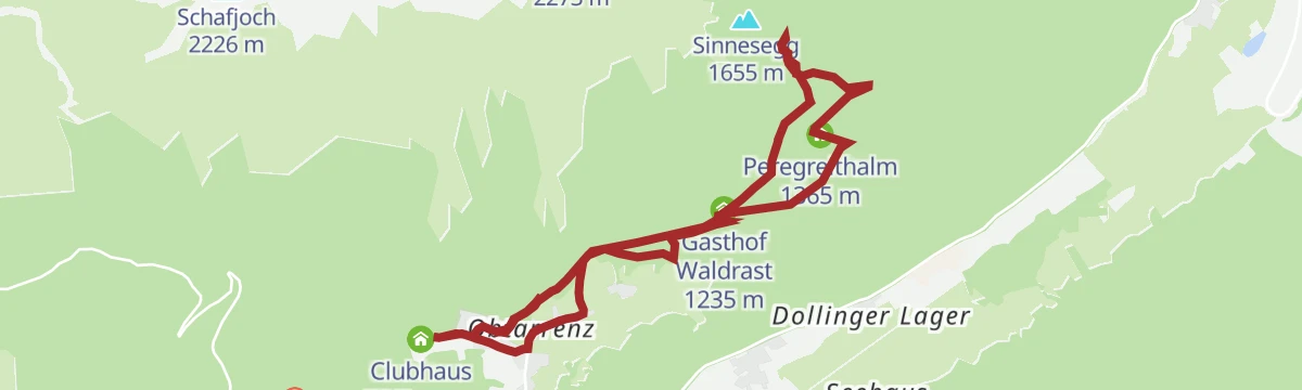
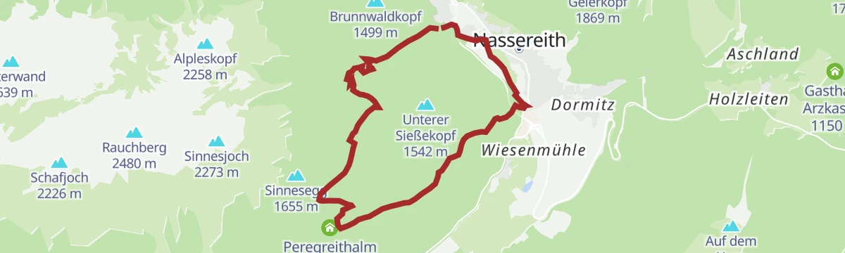
Sinnesbrunn Nr. 625
A steady forest-road climb above Tarrenz to the Peregreithalm at 1,365 m, with the Gasthof Waldrast passed on the way up.
- 5.7 km
- Distance
- 509 m
- Ascent
- 53 min
- Duration
- 2
- Check-ins
Von Ehrwald nach Imst auf der Römerroute
A point-to-point ride over the Fernpass, passing the Fernsteinsee and Weißensee lakes on the old Roman road down towards Imst.
- 33.1 km
- Distance
- 469 m
- Ascent
- 3 h 27 min
- Duration
- 36
- Check-ins
Tschirgantrunde
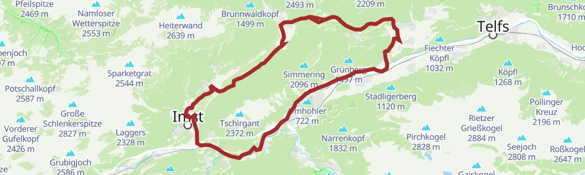
A road circuit around the massif between the Inn and Ötz valleys, climbing to Gasthaus Arzkasten before the run back down the river.
- 54.3 km
- Distance
- 986 m
- Ascent
- 5 h 45 min
- Duration
- 14
- Check-ins
Gafleinhütte
Easy 4.4 km walk from Sinnesbrunn to the Gafleinhütte, taking in the Kohlstattsee on the way, with 253 m of climb.
- 4.4 km
- Distance
- 241 m
- Ascent
- 1 h 44 min
- Duration
- 3
- Check-ins
 Kohlstatt 1 528 m
 Skihütte 1 684 m
- Kälberhütte (Bergwachthütte) 1 662 m
- Gafleintal Hütte 1 510 m
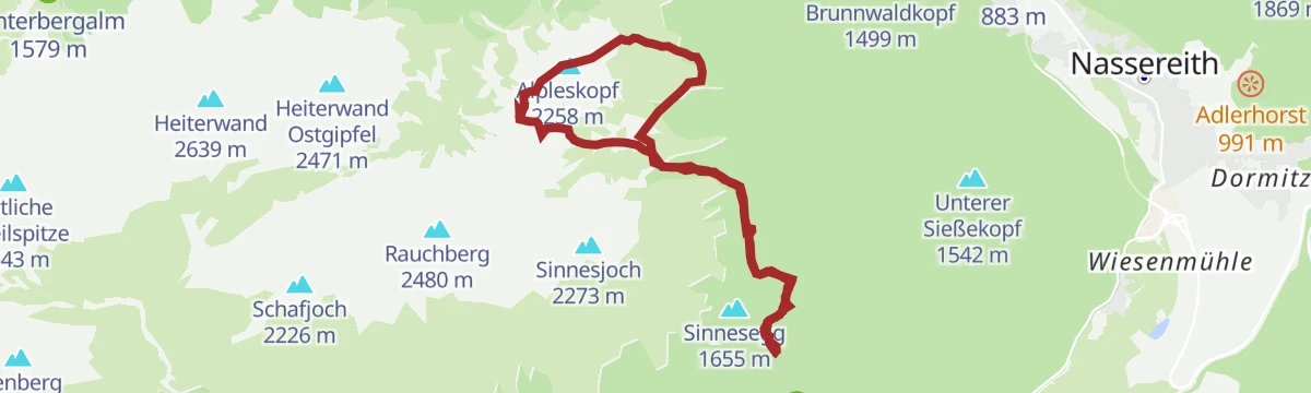
Alpleskopf
Summit walk from Sinnesbrunn over the Reissenschuhjoch to the Alpleskopf, 10.9 km with 833 m of climb.
- 10.9 km
- Distance
- 833 m
- Ascent
- 5 h 26 min
- Duration
- 5
- Check-ins
Bummelbär
A long 26.9 km round through the Gurgltal with barely 220 m of climbing, taking in the Kropfsee, the Brenjursee fishing hut and Happi's Hütte.
- 26.9 km
- Distance
- 214 m
- Ascent
- 6 h 46 min
- Duration
- 4
- Check-ins
- Brenjursee Fischerhütte 786 m
- Happi`s Hütte 784 m
- Kropfsee 798 m
Lenzenanger (Nr. 624)
A brief, easy waymarked climb on the wooded slopes just above Tarrenz in the Gurgltal.
- 3.0 km
- Distance
- 182 m
- Ascent
- 23 min
- Duration
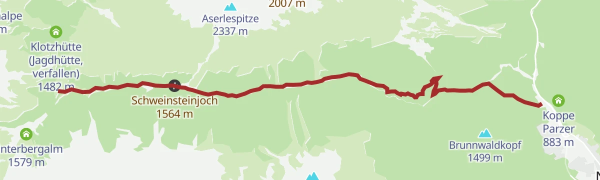
Tegestal (Nr. 633)
A steady forest-road climb above Nassereith to the Tarrentonalm, with the Schweinsteinjoch pass a little higher on the same track.
- 8.8 km
- Distance
- 706 m
- Ascent
- 1 h 17 min
- Duration
- 1
- Check-ins
Via Claudia Augusta
A long ride over the Fernpass at 1,215 m, passing the Weißensee and the lakes at Fernstein on the way down.
- 48.5 km
- Distance
- 685 m
- Ascent
- 4 h 50 min
- Duration
- 29
- Check-ins
Mieminger Plateau Runde
A near-100 km road round out of the Inn valley, climbing to the terrace villages above Mieming and past Gasthaus Arzkasten.
- 97.1 km
- Distance
- 1 138 m
- Ascent
- 9 h 41 min
- Duration
- 12
- Check-ins
Pigerrunde
A flat 6 km round through the meadows of the Gurgltal past the fishing hut at the Brenjursee, easy enough for children.
- 6.0 km
- Distance
- 40 m
- Ascent
- 1 h 31 min
- Duration
- 3
- Check-ins
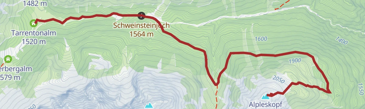
Alpleskopf (Tarrenton)
From the Tarrentonalm a 757 m climb by way of the Schweinsteinjoch to the Alpleskopf, 8.1 km in all.
- 8.1 km
- Distance
- 757 m
- Ascent
- 3 h 24 min
- Duration
- 4
- Check-ins
Tarrenton Alm
Long day of 21.7 km from Sinnesbrunn over the Schweinsteinjoch to the Tarrentonalm, the 779 m of climb spread out along the way.
- 21.7 km
- Distance
- 776 m
- Ascent
- 7 h 1 min
- Duration
- 3
- Check-ins
Gurgltal-Fernsteinsee-Runde | Alternativ: Nassereither Alm
A long ride up the Gurgltal to the Fernsteinsee and the Fernpass, with a variant climbing to the Nassereither Alm at 1,734 m.
- 71.0 km
- Distance
- 1 261 m
- Ascent
- 7 h 27 min
- Duration
- 24
- Check-ins
Prantlsteig
An easy 5.4 km path over the Vogelbichl past the Starkenberger See, where the castle brewery makes its own beer.
- 5.4 km
- Distance
- 130 m
- Ascent
- 1 h 35 min
- Duration
- 2
- Check-ins
Familienwanderung Gurgltal
An easy family walk on the floor of the Gurgltal, past fishing huts and the themed stations of the Knappenwelt near Tarrenz.
- 10.1 km
- Distance
- 72 m
- Ascent
- 2 h 33 min
- Duration
- 4
- Check-ins
Abschnitt 5: Tarrenz - Nassereith
Fifth stage of a long-distance route, 15.5 km with 840 m of climb from Tarrenz up past the Waldrast and on to Nassereith.
- 15.5 km
- Distance
- 830 m
- Ascent
- 5 h 57 min
- Duration
- 2
- Check-ins
Gravelrunde Tschirgantmassiv
A gravel circuit right around the Tschirgant massif, passing the Rafting Alm on the Inn and the mouth of the Pitztal.
- 56.0 km
- Distance
- 691 m
- Ascent
- 5 h 37 min
- Duration
- 20
- Check-ins
Schloss Starkenberg - Starkenbergersee
Nearly flat 3.9 km walk from Schloss Starkenberg over the Vogelbichl to the Starkenberger See, quiet enough to do in winter.
- 3.9 km
- Distance
- 62 m
- Ascent
- 1 h 4 min
- Duration
- 2
- Check-ins
Kohlstattsee
A 7.2 km route from the Sinnes Waldrast inn through forest to the Kohlstattsee, with 314 m of climb.
- 7.2 km
- Distance
- 362 m
- Ascent
- 2 h 44 min
- Duration
- 3
- Check-ins
- Gasthof Waldrast 1 235 m
- Kohlstatt 1 528 m
- Sinnes Waldrast 1 235 m
Gurgltal Runde bis Nassereith
A long, near-level round of 18.6 km through the gentle Gurgltal as far as Nassereith, with Happi's Hütte on the way.
- 18.6 km
- Distance
- 89 m
- Ascent
- 4 h 34 min
- Duration
- 1
- Check-ins
Tschirgantrunde
A circuit of the Tschirgant on valley tracks, passing the Weiße Haus, Camping Rossbach and the turn-off into the Pitztal.
- 56.0 km
- Distance
- 691 m
- Ascent
- 5 h 37 min
- Duration
- 20
- Check-ins
Göfelesee - Sießekopf
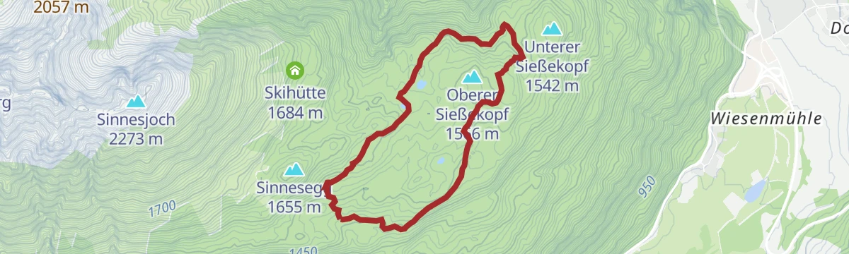
Easy 5.6 km loop from the Göfelesee to the Sießekopf and on past Kohlstatt, with only 165 m of climb.
- 5.6 km
- Distance
- 165 m
- Ascent
- 1 h 43 min
- Duration
- 1
- Check-ins
- Kohlstatt 1 528 m
Sinnesbrunn (Tarrenton)
From the Tarrentonalm a 10.4 km crossing by the Schweinsteinjoch to the pilgrimage church at Sinnesbrunn, with 377 m of climb.
- 10.4 km
- Distance
- 377 m
- Ascent
- 3 h 22 min
- Duration
- 3
- Check-ins
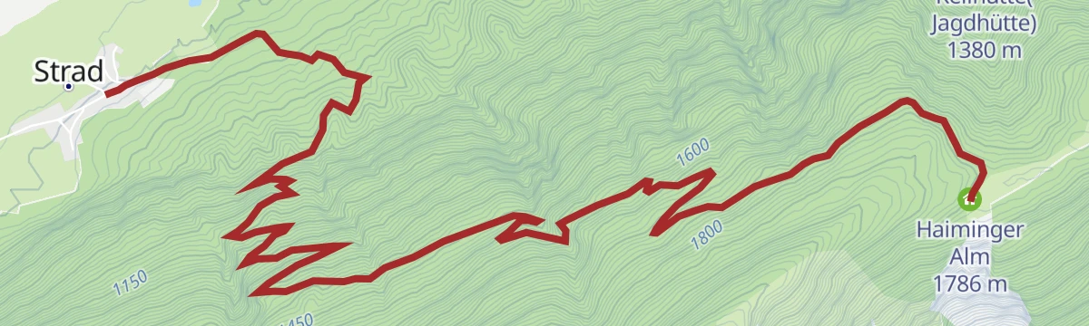
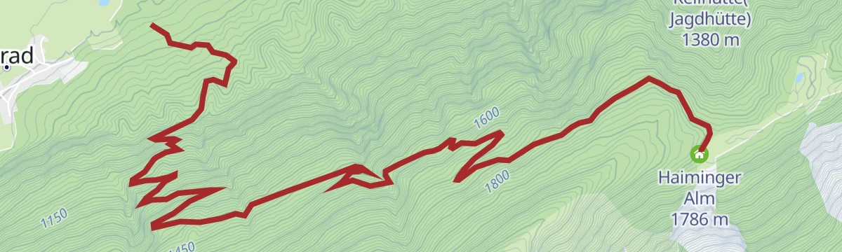
Haiminger Alm
Climb of almost 1,000 m from Strad up to the Haiminger Alm on the Tschirgant ridge, 9.6 km of walking.
- 9.6 km
- Distance
- 985 m
- Ascent
- 4 h 11 min
- Duration
- 1
- Check-ins
Imster Radmarathon | Panoramarunde (Jubiläum)
A long tour out of Imst over the Holzleitensattel at 1,119 m, looping back down the Inn valley past the mouth of the Pitztal.
- 79.5 km
- Distance
- 727 m
- Ascent
- 7 h 45 min
- Duration
- 14
- Check-ins
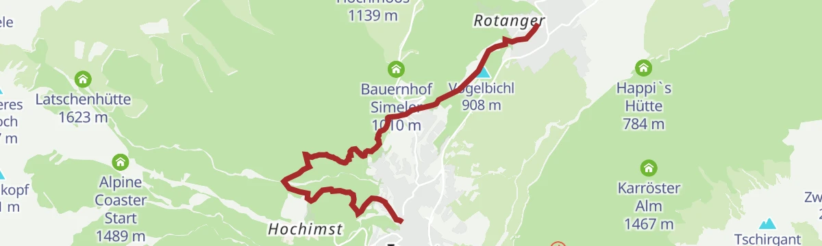
Oberer Rotanger
Short 2.9 km walk up from Schloss Starkenberg to the Linserhöfe farms, 220 m of climb over open ground.
- 2.9 km
- Distance
- 193 m
- Ascent
- 58 min
- Duration
Abschnitt 4: Imst - Tarrenz
A stage from Imst over to Tarrenz, passing the Starkenberger See and the Wetterkreuz on the Vogelbichl above the Gurgltal.
- 7.1 km
- Distance
- 298 m
- Ascent
- 2 h 22 min
- Duration
- 2
- Check-ins
Talwanderung Gurgltal
Valley walk of 16.8 km along the Gurgltal from Tarrenz to Nassereith, level throughout with barely 100 m of climb.
- 16.8 km
- Distance
- 106 m
- Ascent
- 4 h 12 min
- Duration
- 1
- Check-ins
Gravelrunde von Imst zum Fernsteinsee
A gravel run north through the Gurgltal from Imst to the Fernsteinsee, reaching the lake at the Hotel Schloß Fernsteinsee and its campsite.
- 38.4 km
- Distance
- 284 m
- Ascent
- 3 h 40 min
- Duration
- 13
- Check-ins
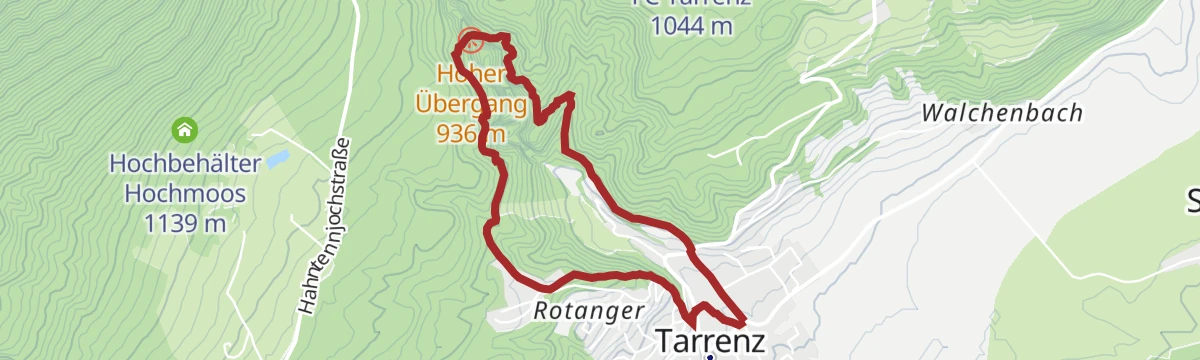
Obtarrenz
Quiet 3.1 km round through the woods and meadows at Obtarrenz, easy going with about 100 m of climb and pleasant under snow.
- 3.1 km
- Distance
- 106 m
- Ascent
- 60 min
- Duration
Kappakreuz
Steep and short, 403 m of climb packed into 1.5 km from the Gasthof Waldrast up to the hilltop cross.
- 1.5 km
- Distance
- 393 m
- Ascent
- 1 h 24 min
- Duration
- 2
- Check-ins
Heiterwandhütte
Steep ascent from Obtarrenz gaining over 1,100 m in 7.7 km to the Heiterwandhütte, by way of the Grubigjöchl.
- 7.7 km
- Distance
- 994 m
- Ascent
- 4 h 2 min
- Duration
Tschirgantrunde mit dem Rennrad
A round of the Tschirgant crossing the Holzleitensattel at 1,119 m, with the return along the floor of the Inn valley.
- 51.8 km
- Distance
- 683 m
- Ascent
- 5 h 14 min
- Duration
- 12
- Check-ins
Salvesenschlucht
Easy 4.4 km walk from Tarrenz into the Salvesen gorge, with 195 m of climb alongside the stream.
- 4.4 km
- Distance
- 195 m
- Ascent
- 1 h 31 min
- Duration
Sinnesbrunn
Pilgrims' path of 11.5 km from Obtarrenz past the Peregreithalm to the chapel and bells at Sinnesbrunn, gaining 515 m.
- 11.5 km
- Distance
- 532 m
- Ascent
- 4 h 1 min
- Duration
- 2
- Check-ins
Gravelrunde Imst Panorama
A gravel round above Imst linking the Badesee with the Brenjursee, starting near the valley station of the Untermarkter Alm Bahn.
- 25.2 km
- Distance
- 520 m
- Ascent
- 2 h 43 min
- Duration
- 10
- Check-ins
Trixi's Hexenlehrpfad
Short themed path of 2.7 km at Tarrenz retelling local witch legends, with 83 m of gentle climb.
- 2.7 km
- Distance
- 83 m
- Ascent
- 50 min
- Duration
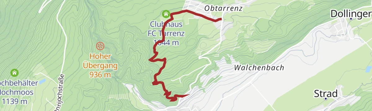
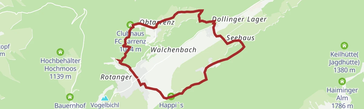
Obtarrenz - Dollinger - Kropfsee
An 11.6 km round out of the Gurgltal up to Obtarrenz and the Kropfsee, with 301 m of climb and views over the valley floor.
- 11.6 km
- Distance
- 362 m
- Ascent
- 3 h 37 min
- Duration
- 1
- Check-ins
- Happi`s Hütte 784 m
- Kropfsee 798 m
- Clubhaus FC Tarrenz 1 044 m
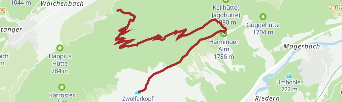
Bike & Hike Strad - Haiminger Alm - Haiminger Kreuz
A steep forest-road climb to the Haiminger Alm at 1,786 m, where the bike is left for the walk on up to the Zwölferkopf.
- 12.6 km
- Distance
- 1 471 m
- Ascent
- 2 h 21 min
- Duration
- 7
- Check-ins
St. Wendelin - Kohlstattsee
Woodland route of 12.7 km climbing 715 m from St. Wendelin by way of Kohlstatt to the quiet water of the Kohlstattsee.
- 12.7 km
- Distance
- 715 m
- Ascent
- 5 h 3 min
- Duration
- 1
- Check-ins
- Kohlstatt 1 528 m
Gurgltal-Fernsteinsee-Runde
A near-level round of the Gurgltal out to the Fernsteinsee, passing the Brenjursee fishing hut.
- 50.3 km
- Distance
- 365 m
- Ascent
- 4 h 47 min
- Duration
- 7
- Check-ins
von Nassereith nach Sinnesbrunn
Uphill walk of 5.7 km from Nassereith through forest and past Kohlstatt to the pilgrimage site of Sinnesbrunn, nearly 700 m higher.
- 5.7 km
- Distance
- 680 m
- Ascent
- 2 h 54 min
- Duration
- 1
- Check-ins
- Kohlstatt 1 528 m
Haiminger Alm (Nr. 627)
A waymarked forest-road climb of nearly 1,000 m in under 9 km, ending at the alm pasture at 1,786 m above Tarrenz.
- 8.9 km
- Distance
- 1 042 m
- Ascent
- 1 h 41 min
- Duration
- 1
- Check-ins
No routes of this kind in Tarrenz yet.
The region's own picks

Featured route
Starkenberger See
Gentle 5.2 km walk from the Starkenberg brewery over the Vogelbichl to the Starkenberger See, with about 100 m of climb.
Planning a trip to Tarrenz?
Everything else Tyrol has, in one place


Take Tarrenz with you into the mountains
Every route on this page with 3D terrain, GPX navigation and offline maps — including the valleys with no signal.
Data sources
- Official website: imst.at ↗
- Routes and highlights: Imst Tourismus, Lechtal Tourismus, St. Anton am Arlberg, Innsbruck Tourismus, Serfaus-Fiss-Ladis, Ötztal Tourismus
- Published as open data by the tourist boards named above.
- Region summary generated from the board's own material.
