
 Historic site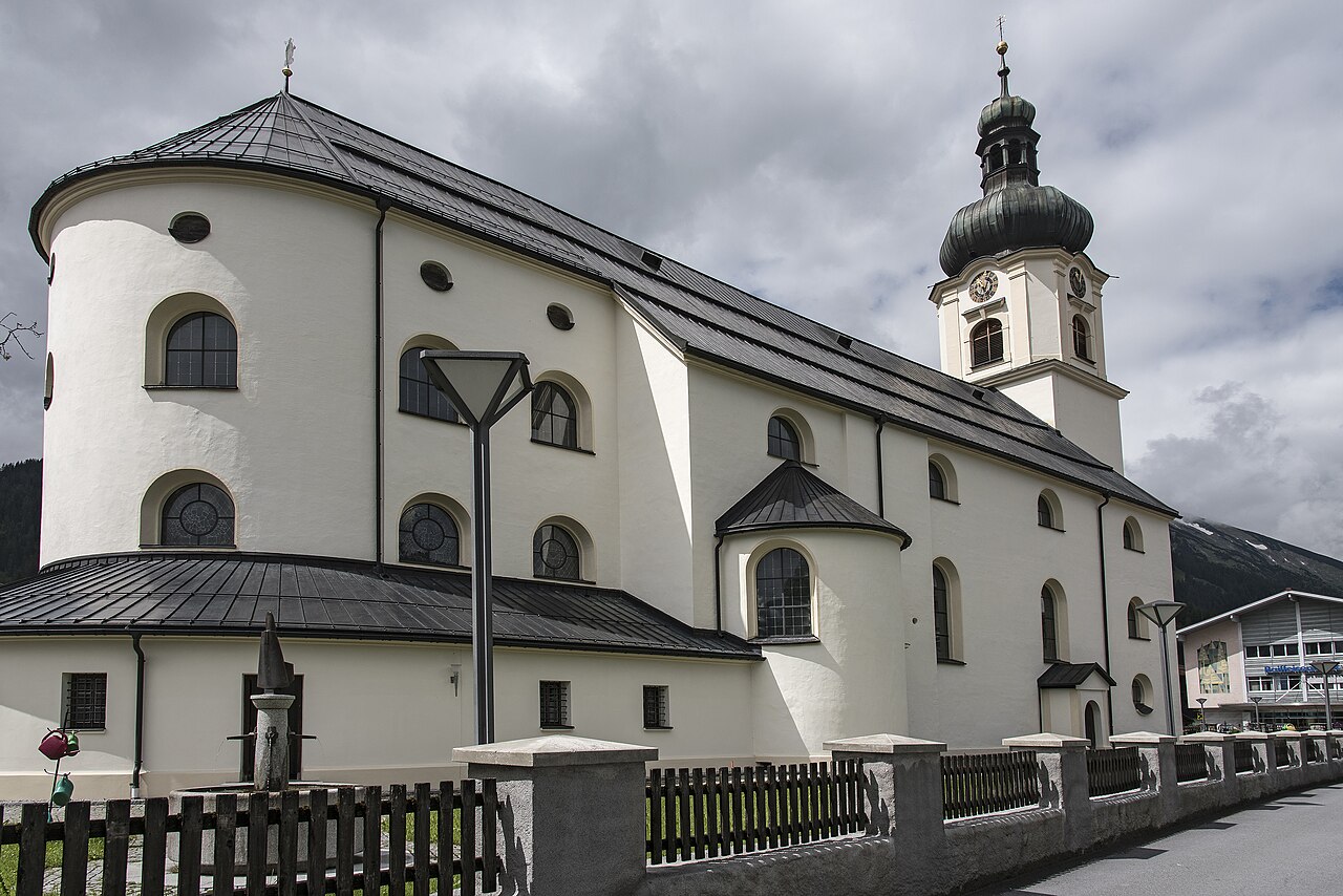
 Cable car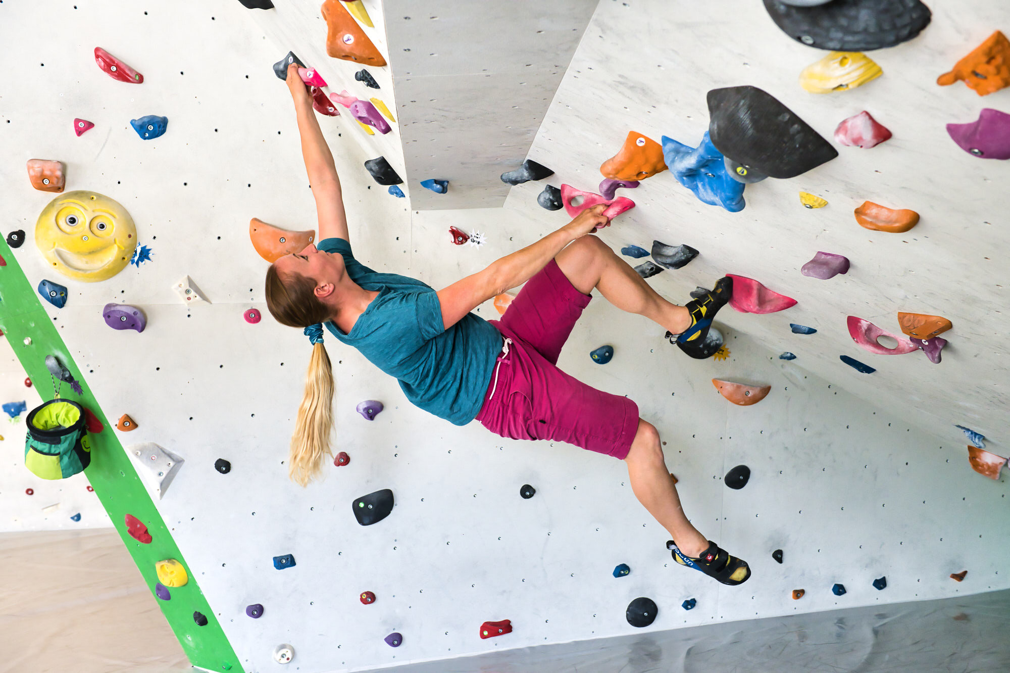






Curated by Tannheimer Tal
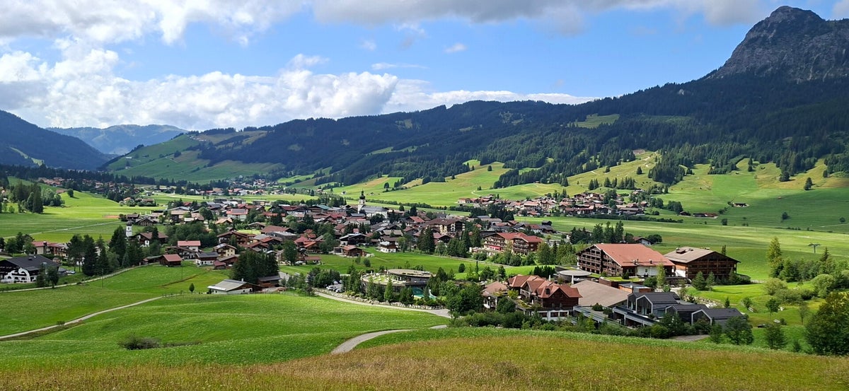
Tannheim
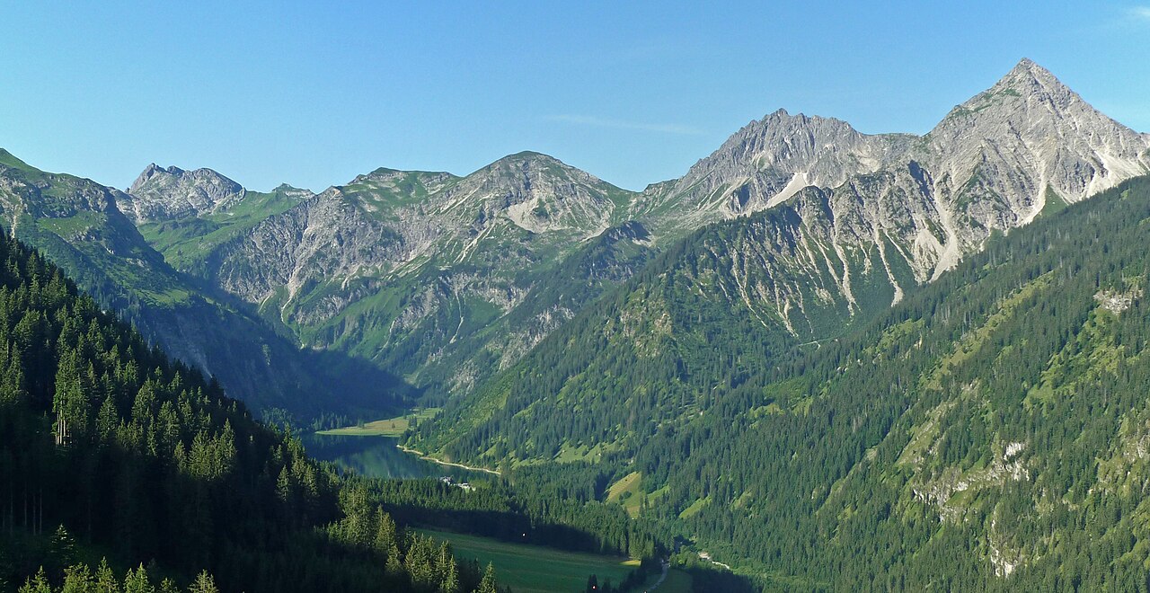
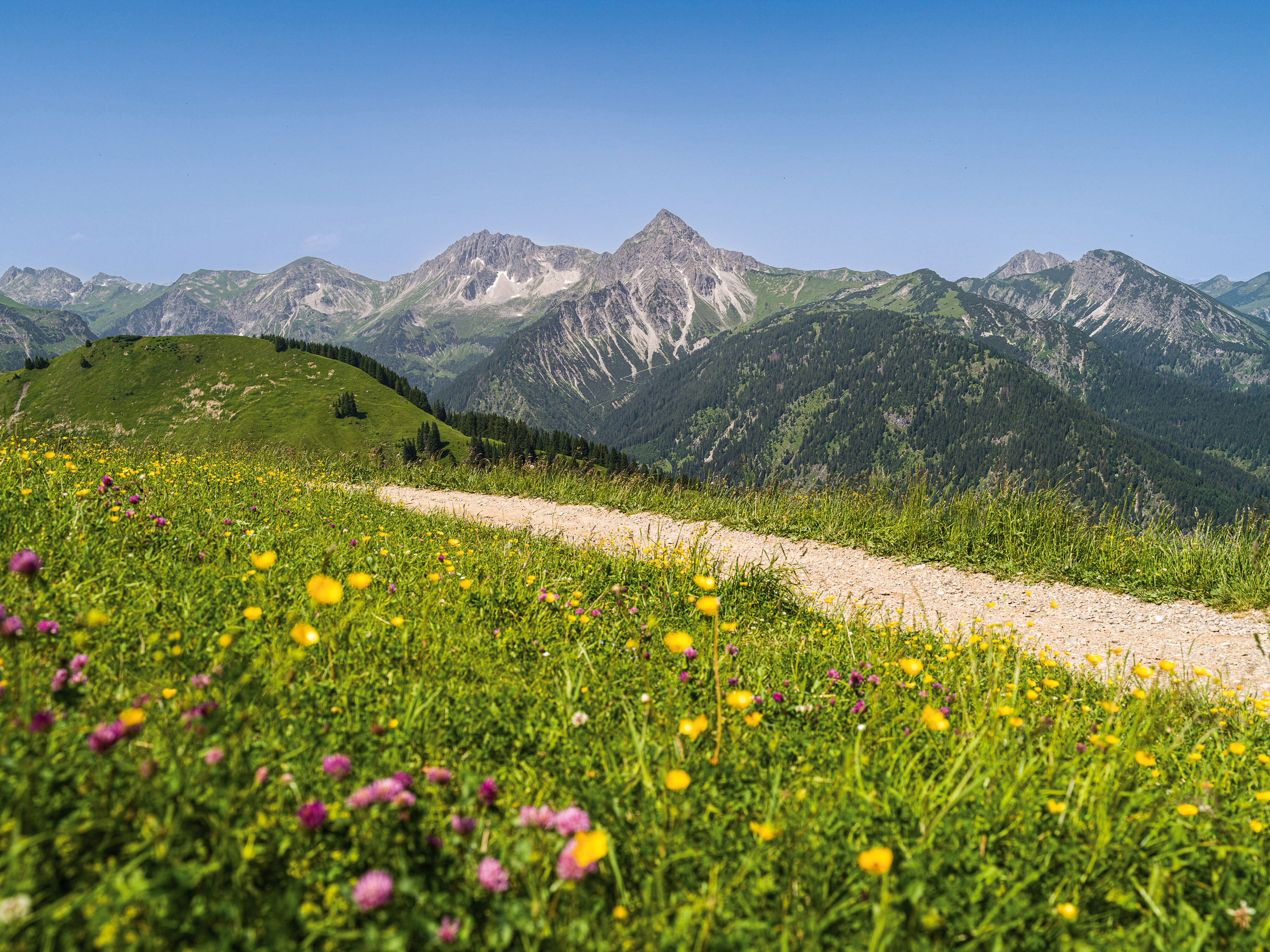
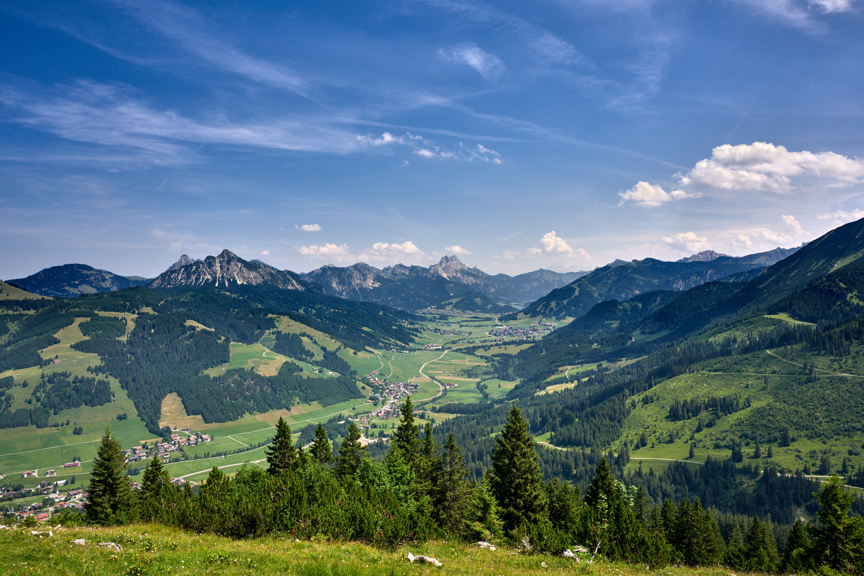
The main village of the Tannheimer Tal at about 1100 m, with the Vilsalpsee nature reserve closing off a side valley to the south.
- 15Highlights
- 82Routes
- Featured summit · Einstein
Highlights
Vilsalpe
A pasture hut at the Vilsalpsee south of Tannheim, serving day visitors who walk or take the bus along the nature-reserve valley.
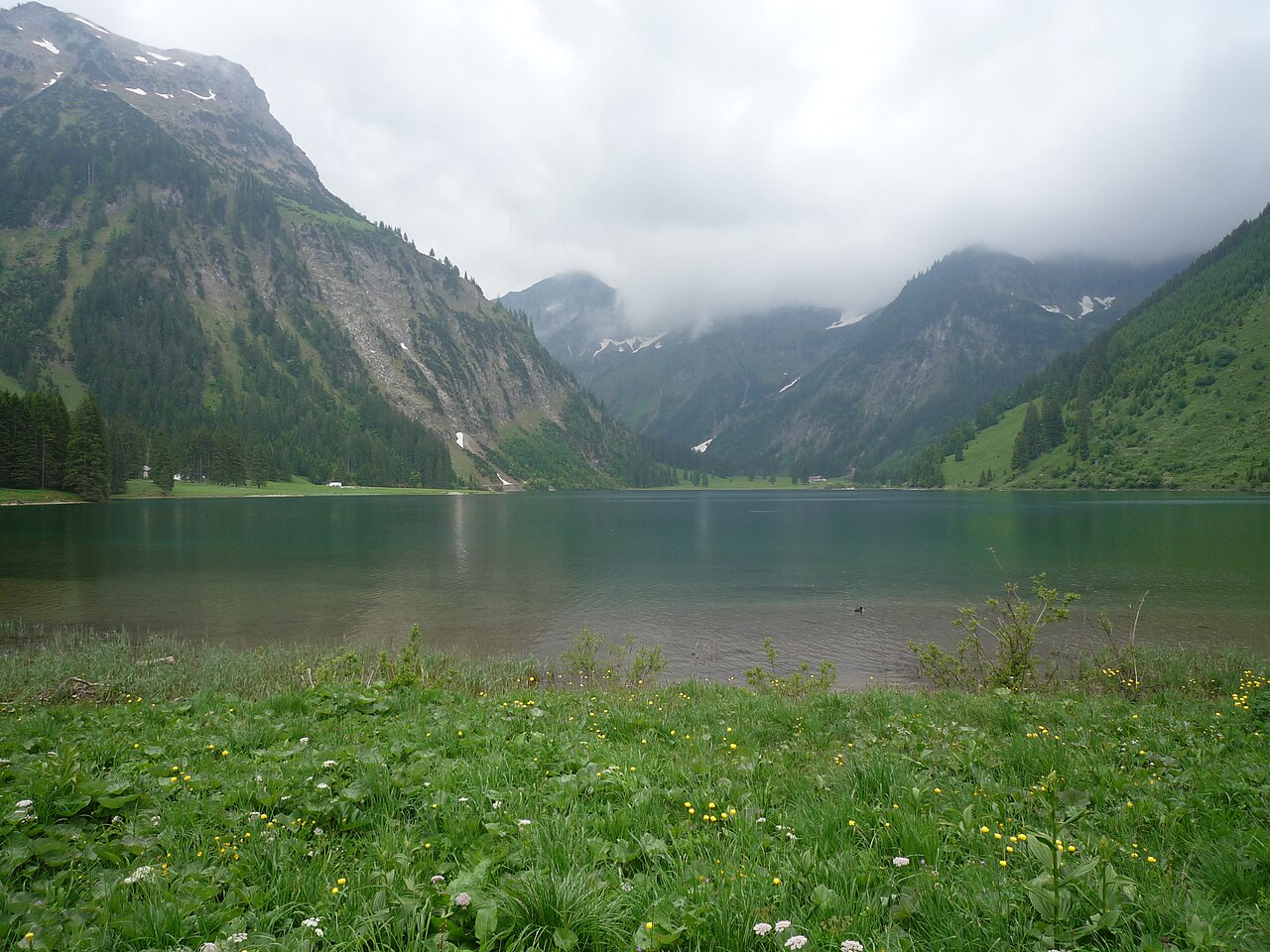
Vilsalpsee
A mountain lake in a protected nature reserve south of Tannheim, reached by a quiet valley road and circled by an easy shore path.
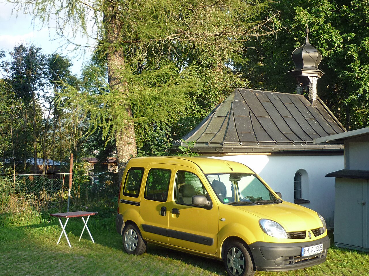
Dreifaltigkeitskapelle Kienzerle
A Holy Trinity chapel at Kienzerle near Tannheim, one of the wayside churches strung along the floor of the Tannheimer Tal.
Pfarrkirche St. Nikolaus
The baroque parish church of Tannheim, dedicated to St Nicholas and large enough to be known locally as the cathedral of the valley.
St. Martin Kapelle
A chapel dedicated to St Martin between Tannheim and Grän, one of the many small churches scattered along the Tannheimer Tal.
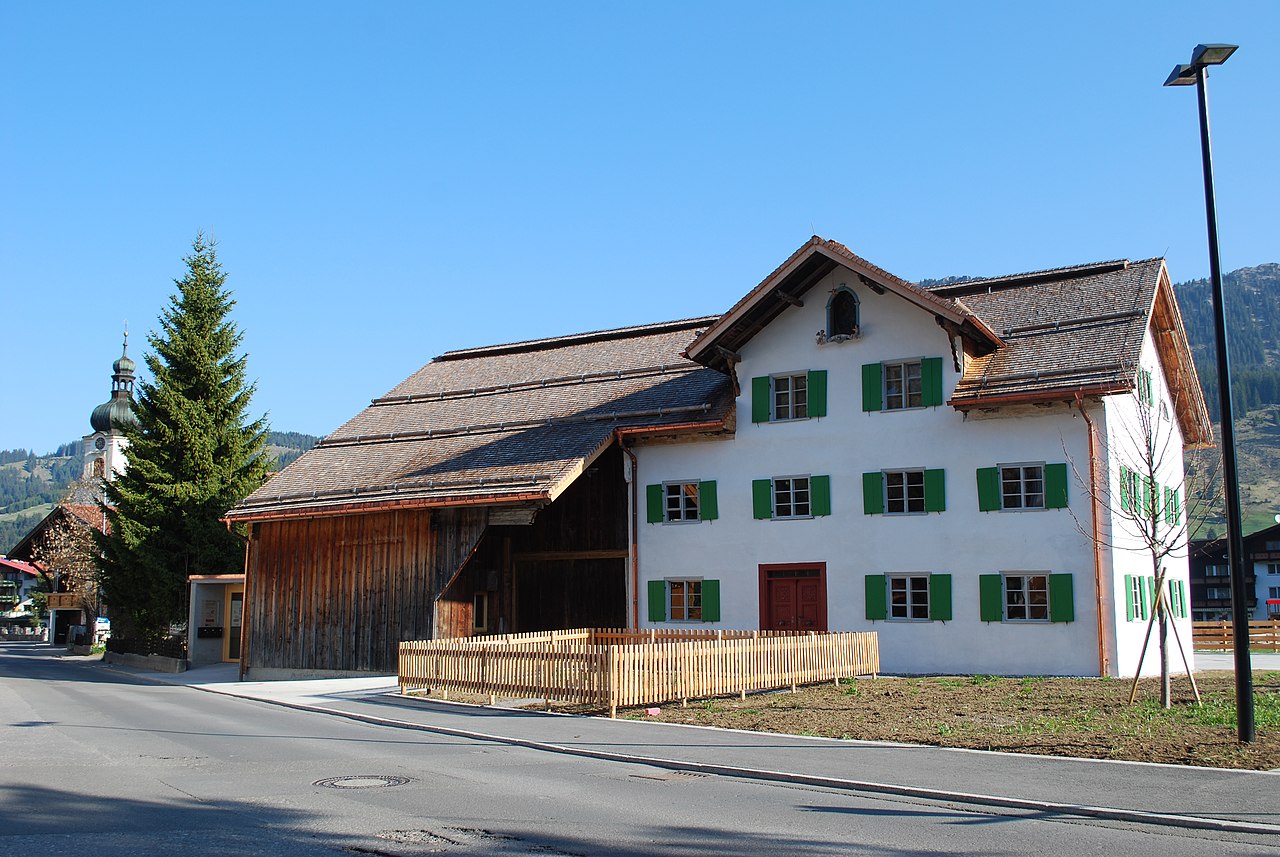
Das Heimatmuseum
The local heritage museum of Tannheim, showing tools, furnishings and everyday rural life from the history of the Tannheimer Tal.
Felixé Mina’s Haus in Tannheim
A preserved old farmhouse in Tannheim kept as a museum, showing how farming families in the Tannheimer Tal once lived and worked.
Bergbahnen Tannheimer Tal - Neunerköpfle
A gondola from Tannheim onto the Neunerköpfle, a well-known paragliding launch and the start of high-path walks above the valley.
Sportplatz St. Leonhard in Tannheim
A sports ground and play area at St Leonhard in Tannheim, used for village games and family recreation in the Tannheimer Tal.
Tanni - Kinderclub
A supervised children's club in Tannheim, named after the Tannheimer Tal's marmot mascot Tanni and offering activity programmes for guests.
Kletter- und Bouldertreff Tannheim
An indoor climbing and bouldering facility in Tannheim, a weatherproof alternative to the limestone crags of the Tannheim range.
Großer Spielplatz Tannheim
The large central playground of Tannheim, with climbing and play equipment for children next to the village's guest facilities.
Haus Peintner
A guesthouse with holiday flats in Tannheim, simple hut-style lodging close to the centre of the Tannheimer Tal's main village.
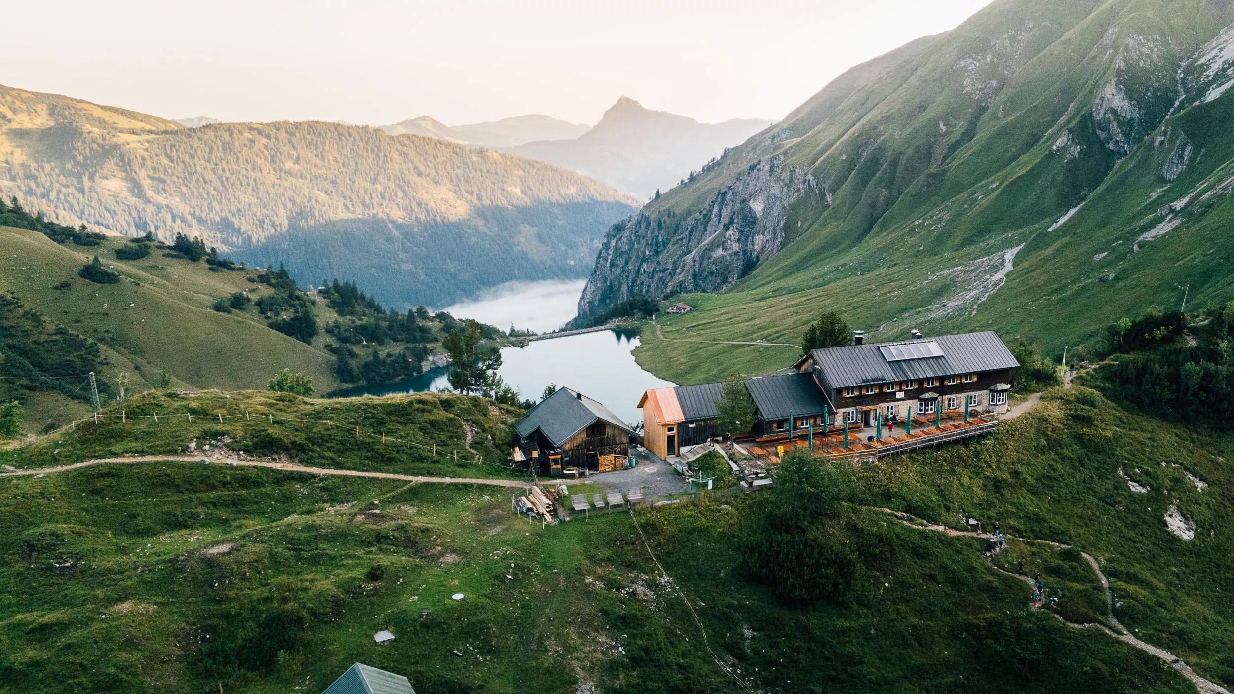
Landsberger Hütte 1.810 m
A refuge at 1,810 m in the Tannheim mountains, set among the lake basins above the Vilsalpsee and serving regional dishes to walkers.
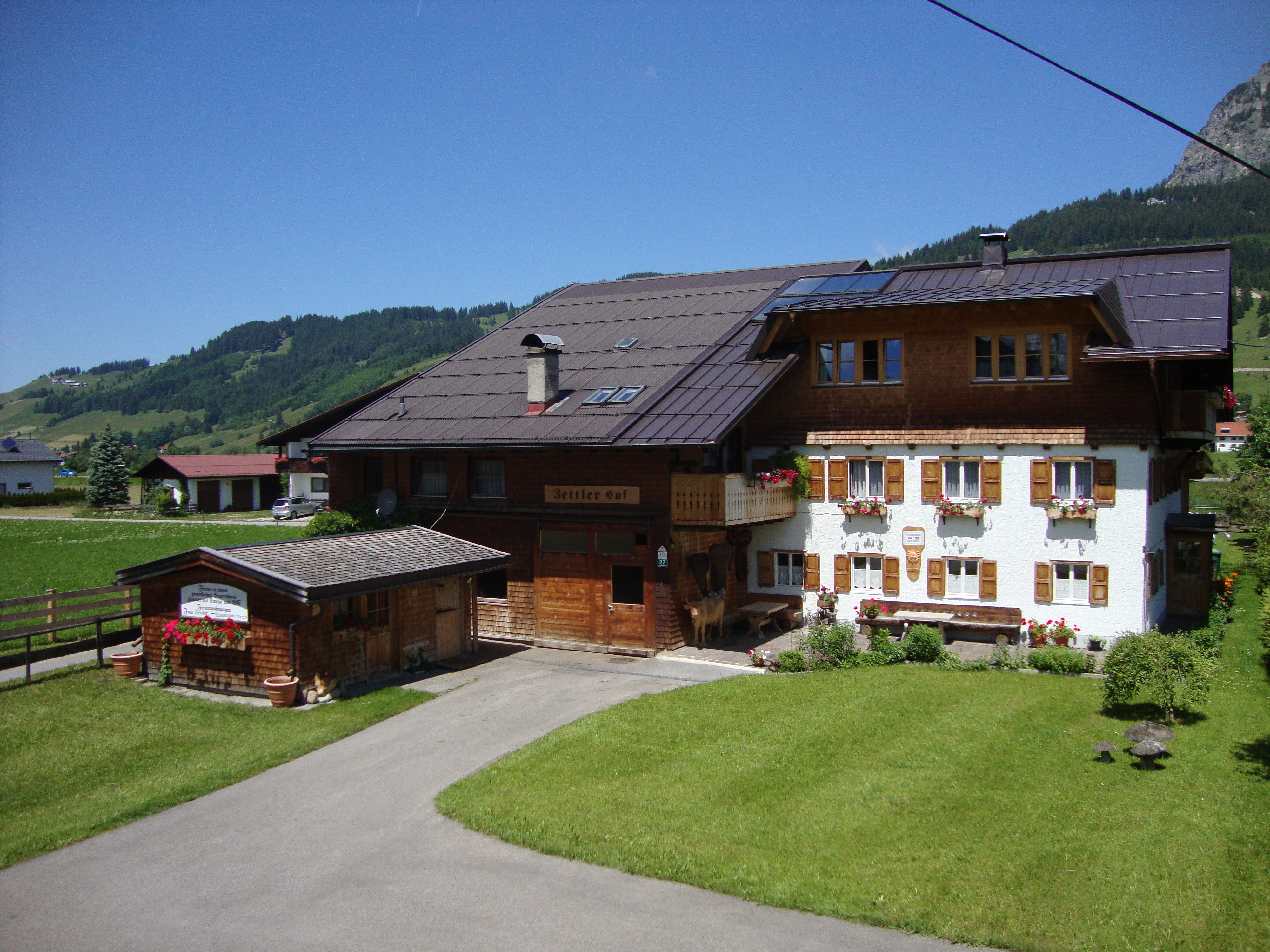
Zettlerhof + Fewo Zettler
A farmhouse with holiday flats in Tannheim, offering rural self-catering accommodation on the floor of the Tannheimer Tal.
Nothing of this kind in Tannheim.
Routes
50 routes, an even mix of activities · see the rest on tannheimertal.com ↗
Klettersteig Lachenspitze
North-face via ferrata on the Lachenspitze above the Landsberger Hütte, approached from the Vilsalpsee past the Traualpe lakes; descent by the marked normal route.
- 12.0 km
- Distance
- 984 m
- Ascent
- 8 h 3 min
- Duration
- 83
- Check-ins
9erlebnisweg
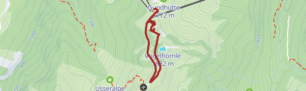
Family discovery trail around the Neunerkopf summit area above the Tannheimer Tal, a short loop taking in the Vogelhörnle viewpoint.
- 2.0 km
- Distance
- 92 m
- Ascent
- 42 min
- Duration
- 37
- Check-ins
Drei-Seen-Tour (mit dem Tiroler Bergwege-Gütesiegel ausgezeichnet)
Certified tour past three mountain lakes - Vilsalpsee, Traualpsee and the Lache at the Landsberger Hütte - with a lift-assisted start from Tannheim.
- 14.6 km
- Distance
- 389 m
- Ascent
- 4 h 23 min
- Duration
- 141
- Check-ins
Jubiläumsweg
A long ridge traverse over the Gaishorn and Rauhhorn above Zöblen, crossing the Köllesattel and passing the Prinz-Luitpold-Haus.
- 19.8 km
- Distance
- 2 129 m
- Ascent
- 12 h 56 min
- Duration
- 112
- Check-ins
Älpele
A short, steep haul up the alm road from the valley floor near Tannheim, gaining more than 400 m to the hut at 1,526 m.
- 4.2 km
- Distance
- 431 m
- Ascent
- 60 min
- Duration
- 20
- Check-ins
Gravelbike Tour 3.1 - Talumrundung Tannheimer Tal
A forest-road circuit of the Tannheimer Tal from Schattwald, passing the Haldensee shore and Tauscher's Alm before the return through Tannheim.
- 53.7 km
- Distance
- 1 675 m
- Ascent
- 6 h 21 min
- Duration
- 119
- Check-ins
Kleinwalsertalrunde
A long road circuit out of the Kleinwalsertal over the Oberjoch pass, the watershed between the Wertach and the Iller.
- 118.0 km
- Distance
- 2 066 m
- Ascent
- 12 h 25 min
- Duration
- 224
- Check-ins
Winterwandern auf der Höh´
Short winter walk on the heights around the Neunerkopf and Vogelhörnle, with wide views across the snowbound Tannheimer Tal.
- 2.2 km
- Distance
- 108 m
- Ascent
- 48 min
- Duration
- 37
- Check-ins
Von Haldensee über das Neunerköpfle nach Tannheim
Crossing from Haldensee over the Neunerköpfle to Tannheim past the Gundhütte and Strindenalpe pastures; an oversized summit book crowns the top.
- 10.6 km
- Distance
- 770 m
- Ascent
- 5 h 4 min
- Duration
- 105
- Check-ins
Durch´s Birkental
Long circuit through the Birkental behind Nesselwängle, climbing to the Gappenfeld and Strinden scharten before returning along the Haldensee.
- 25.1 km
- Distance
- 1 254 m
- Ascent
- 9 h 11 min
- Duration
- 108
- Check-ins
Lohmoosrunde
A forest-road loop above Tannheim, climbing to the Berghotel Zugspitzblick at 1,291 m before the run back down to the village.
- 11.8 km
- Distance
- 433 m
- Ascent
- 1 h 27 min
- Duration
- 11
- Check-ins
Talumrundung
A full circuit of the Tannheimer Tal on forest and alm roads, past the Haldensee campsites and the Tannheimer Hütte valley station.
- 53.1 km
- Distance
- 1 699 m
- Ascent
- 6 h 19 min
- Duration
- 105
- Check-ins
Königssträssle
A road circuit over the Oberjoch on the old Königssträssle, by way of the Alpe Weiherle.
- 71.2 km
- Distance
- 1 342 m
- Ascent
- 7 h 35 min
- Duration
- 207
- Check-ins
Wanderung rund um den Vilsalpsee
Easy circuit of the Vilsalpsee in its nature-reserve basin at the head of the Tannheim valley, on lakeside paths beneath steep flanking peaks.
- 3.7 km
- Distance
- 61 m
- Ascent
- 1 h 1 min
- Duration
- 23
- Check-ins
Auf das Neunerköpfle in Tannheim
Ascent from Tannheim past the Gundhütte onto the valley's popular lookout summit with its oversized summit book, returning over the Vogelhörnle and the Usseralpe.
- 10.3 km
- Distance
- 785 m
- Ascent
- 5 h 7 min
- Duration
- 74
- Check-ins
Drei Seen vom Vilsalpsee zum Schrecksee und zur Landsberger Hütte
Three-lake mountain day from the Vilsalpsee over the Lachenjoch to the Schrecksee in the Allgäu, returning past the Landsberger Hütte.
- 16.7 km
- Distance
- 1 175 m
- Ascent
- 7 h 49 min
- Duration
- 106
- Check-ins
Talumrundung Tannheim (8016)
A waymarked round of the valley on gravel and alm roads, topping the Älbalas Köpfla and passing Schattwald and the Haldensee shore.
- 51.4 km
- Distance
- 1 841 m
- Ascent
- 6 h 18 min
- Duration
- 90
- Check-ins
2026_RAD-MARATHON_103 km
The long course of a road marathon out of the Tannheimer Tal, crossing the Oberjoch pass and the Wertach-Iller watershed on the German side.
- 103.4 km
- Distance
- 1 489 m
- Ascent
- 10 h 34 min
- Duration
- 203
- Check-ins
Entlang des Vilsalpsee´s zum Bergacht Wasserfall
Walk along the Vilsalpsee shore and on to the Bergacht waterfall beyond the lake, an easy extension of the classic lakeside circuit.
- 6.5 km
- Distance
- 179 m
- Ascent
- 1 h 58 min
- Duration
- 20
- Check-ins
Höhenstrecke
High-level route from the Neunerkopf over the Gappenfeldscharte and Strindenscharte, linking the Gappenfeld and Strinden pastures above the Tannheimer Tal.
- 10.6 km
- Distance
- 584 m
- Ascent
- 4 h 9 min
- Duration
- 66
- Check-ins
Landsberger Hütte (1.805 m) - Rote Spitze (2.130 m) - Steinkarspitze (2.015 m)
Long horseshoe from Tannheim to the Landsberger Hütte, adding the Rote Spitze and Steinkarspitze above the Traualpsee before descending the Strindental.
- 20.9 km
- Distance
- 1 300 m
- Ascent
- 8 h 55 min
- Duration
- 105
- Check-ins
Gravelbike Tour 3.2 - Enge/Vilstal Runde
A gravel round out of the Tannheimer Tal into the Vils valley, past the Dorfer Weiher and the old customs house near the border.
- 34.1 km
- Distance
- 575 m
- Ascent
- 3 h 34 min
- Duration
- 65
- Check-ins
 Forellenteich 930 m
 Fallmühle 935 m
- Restaurant Auszeit 1 080 m
- Werkstatt 930 m
- Dorfer Weiher 865 m
- Altes Zollhaus 1 114 m
- +6
Oberjochrunde
A long road circuit from Vils over the Oberjochpass at 1,150 m, crossing the Wertach-Iller watershed and passing the Wiedhag-Alpe.
- 82.7 km
- Distance
- 1 101 m
- Ascent
- 8 h 22 min
- Duration
- 194
- Check-ins
Tannheim - Vilsalpsee
Level walk from the center of Tannheim into the nature reserve at the Vilsalpsee, following the valley path to the lakeshore and its huts; prams and small children manage it easily.
- 3.8 km
- Distance
- 93 m
- Ascent
- 1 h 7 min
- Duration
- 13
- Check-ins
Edenbachalpe - Obere Strindenalpe - Usseralpe
Alm-to-alm circuit above Tannheim linking the Edenbachalpe, the Obere and Untere Strindenalpe and the Usseralpe, with several working alps for a rest stop along the way.
- 11.1 km
- Distance
- 723 m
- Ascent
- 4 h 54 min
- Duration
- 61
- Check-ins
Bscheißer-Ponten-Rohnenspitze
Three-summit ridge round on the Allgäu border above Zöblen, stringing together B'schießer, Ponten and the Rohnenspitze via the Stuibensattel; long, high and steadily panoramic.
- 14.6 km
- Distance
- 1 448 m
- Ascent
- 8 h 56 min
- Duration
- 87
- Check-ins
Vilstalrunde
A circuit of the Vils valley past the Dorfer Weiher and the old customs house on the Bavarian border.
- 34.6 km
- Distance
- 544 m
- Ascent
- 3 h 35 min
- Duration
- 65
- Check-ins
- Forellenteich 930 m
- Fallmühle 935 m
- Restaurant Auszeit 1 080 m
- Werkstatt 930 m
- Dorfer Weiher 865 m
- Altes Zollhaus 1 114 m
- +6
2026_RAD-MARATHON_66 km
The shorter of the two marathon courses out of the Tannheimer Tal, again over the Oberjoch pass and past the Moorhütte and the Wiedhag-Alpe.
- 65.9 km
- Distance
- 1 087 m
- Ascent
- 6 h 52 min
- Duration
- 186
- Check-ins
Höhenweg-Runde in Tannheim
Gentle round on the hillside path just above Tannheim, past the Schäferhütte and a set of open-air yoga platforms, with steady views across the wide valley floor.
- 4.5 km
- Distance
- 108 m
- Ascent
- 1 h 19 min
- Duration
- 10
- Check-ins
Von Tannheim rund um den Vilsalpsee
From the village out to the Vilsalpsee and around the mountain-ringed lake, passing the Vilsalpe and the Untere Traualpe before the flat walk back to Tannheim.
- 11.8 km
- Distance
- 117 m
- Ascent
- 3 h 3 min
- Duration
- 55
- Check-ins
2026 SEEN-LAUF Tannheimer Tal - 25 km Lauf
Flat 25 km race lap of the Tannheim valley floor between Haldensee and Tannheim, run mostly beside the Vils with barely 350 m of climbing.
- 24.9 km
- Distance
- 345 m
- Ascent
- 6 h 41 min
- Duration
- 84
- Check-ins
Grüntenrunde
A long circuit from the Tannheimer Tal over the Oberjoch pass and round the foot of the Grünten.
- 81.6 km
- Distance
- 1 247 m
- Ascent
- 8 h 25 min
- Duration
- 185
- Check-ins
Höfersee-Runde
Easy loop from Zöblen out to the little Höfer See and back past the Augsburger Hütte, on tracks along the wooded hillside; a quiet corner of the Tannheimer Tal.
- 6.7 km
- Distance
- 149 m
- Ascent
- 1 h 56 min
- Duration
- 9
- Check-ins
Einstein
Roundabout ascent from the Tannheim side onto a freestanding 1,866 m lookout peak on the valley's rim, passing the Berghotel Zugspitzblick; the summit view reaches to the Zugspitze.
- 13.9 km
- Distance
- 859 m
- Ascent
- 5 h 55 min
- Duration
- 54
- Check-ins
Gaishorn
Long summit circuit from Tannheim by way of the Vilsalpsee and the Köllesattel onto one of the valley's highest border peaks, taking the Zirleseck along the ridge; a full alpine day.
- 16.4 km
- Distance
- 1 531 m
- Ascent
- 9 h 32 min
- Duration
- 83
- Check-ins
GrenzenLoser Radspaß Bad Hindelang Tannheimer Tal
A long day on the road between the Tannheimer Tal and Bad Hindelang, crossing the border at Oberjoch and the Wertach/Iller watershed.
- 116.5 km
- Distance
- 2 351 m
- Ascent
- 12 h 33 min
- Duration
- 181
- Check-ins
Schneit-Runde in Tannheim
Flat meadow loop through the Schneit fields on the valley floor at Tannheim, an unhurried round with open views to the Tannheimer Berge on all sides.
- 3.8 km
- Distance
- 13 m
- Ascent
- 56 min
- Duration
- 9
- Check-ins
Einstein Variante 2
Direct variant onto the 1,866 m lookout above the Tannheim valley, climbing steeply past the Schäferhütte and the Einsteinhütte rather than taking the long way round.
- 6.4 km
- Distance
- 746 m
- Ascent
- 4 h 28 min
- Duration
- 45
- Check-ins
Schattwald - Zöblen Runde (mit dem Tiroler Bergwege-Gütesiegel ausgezeichnet)
Quality-seal border round from Schattwald crossing B'schießer, Ponten and the Rohnenspitze before dropping over the Zirleseck to Zöblen; 1,300 m of climbing on ridge paths.
- 12.2 km
- Distance
- 1 309 m
- Ascent
- 7 h 57 min
- Duration
- 83
- Check-ins
Engetalrunde
A circuit from the Tannheimer Tal through the Engetal and over the Oberjoch pass.
- 53.5 km
- Distance
- 733 m
- Ascent
- 5 h 26 min
- Duration
- 171
- Check-ins
Trainingsrunde Berg
A very short, flat training lap on the valley floor at Tannheim, useful as a warm-up circuit or a first outing with small children; barely any height gain.
- 1.3 km
- Distance
- 5 m
- Ascent
- 19 min
- Duration
- 9
- Check-ins
Pontental - Älpele
Up the quiet Pontental to the Älpele and on over the Zirleseck at the Köllesattel, returning past the little Höfer See; a moderate round on the border ridge's flank.
- 11.1 km
- Distance
- 850 m
- Ascent
- 5 h 32 min
- Duration
- 45
- Check-ins
Von Tannheim zur Sulzspitze
Ridge-and-scharte tour from Tannheim over the Neunerkopf to the Sulzspitze, threading the Strindenscharte and Gappenfeldscharte and passing the Gappenfeldalpe on the return.
- 15.4 km
- Distance
- 1 147 m
- Ascent
- 7 h 31 min
- Duration
- 81
- Check-ins
Rottachseerunde
A long road circuit from the Tannheimer Tal over the Oberjoch to the Rottachsee and back.
- 107.4 km
- Distance
- 1 563 m
- Ascent
- 11 h
- Duration
- 155
- Check-ins
Winterwanderweg Tannheim nach Haldensee und zurück.
Level winter walking route from Tannheim to the Haldensee and back, an easy out-and-back along the valley floor.
- 4.4 km
- Distance
- 38 m
- Ascent
- 1 h 7 min
- Duration
- 7
- Check-ins
Zur Landsberger Hütte über die Gappenfeldalm in Tannheim
Steep but straightforward hut approach over the Gappenfeldalpe and the Gappenfeldscharte to the Landsberger Hütte, with the Schochensattel just beyond as an easy extra viewpoint.
- 5.7 km
- Distance
- 870 m
- Ascent
- 4 h 60 min
- Duration
- 45
- Check-ins
Willersalpe-Gaishorn
Very long border-crossing round over the Köllesattel and the Willersalpe on the Allgäu side, climbing to the Gaishorn's 2,247 m summit; nearly 1,900 m of ascent make this one for endurance.
- 18.0 km
- Distance
- 1 875 m
- Ascent
- 11 h 27 min
- Duration
- 67
- Check-ins
Bannwaldseerunde
A long road tour from the Lech valley over to Füssen and Hohenschwangau, returning through the Tannheimer Tal past the Haldensee.
- 95.3 km
- Distance
- 1 155 m
- Ascent
- 9 h 32 min
- Duration
- 127
- Check-ins
Zöblen - Höhenweg - Tannheim
Village-to-village stroll on the sunny hillside path from Zöblen to Tannheim, running just above the valley floor with barely 70 m of climbing.
- 3.9 km
- Distance
- 67 m
- Ascent
- 1 h 5 min
- Duration
- 1
- Check-ins
Gundhütte in Tannheim
Short, steep pull from Tannheim up to the Gundhütte below the Neunerköpfle, a hut perch with a view over the whole width of the valley; 700 m of climbing in under 5 km.
- 4.7 km
- Distance
- 704 m
- Ascent
- 4 h 4 min
- Duration
- 36
- Check-ins
No routes of this kind in Tannheim yet.
The region's own picks
Featured route
9erlebnisweg
Family discovery trail around the Neunerkopf summit area above the Tannheimer Tal, a short loop taking in the Vogelhörnle viewpoint.
Planning a trip to Tannheim?
Everything else Tyrol has, in one place


Take Tannheim with you into the mountains
Every route on this page with 3D terrain, GPX navigation and offline maps — including the valleys with no signal.
Data sources
- Official website: tannheimertal.com ↗
- Routes and highlights: Tannheimer Tal, Lechtal Tourismus
- Published as open data by the tourist boards named above.
- Region summary generated from the board's own material.
