
 Mountain hut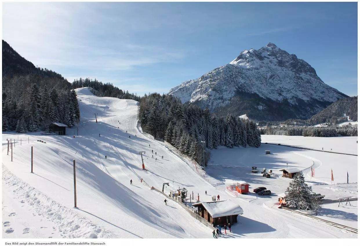
 Cable car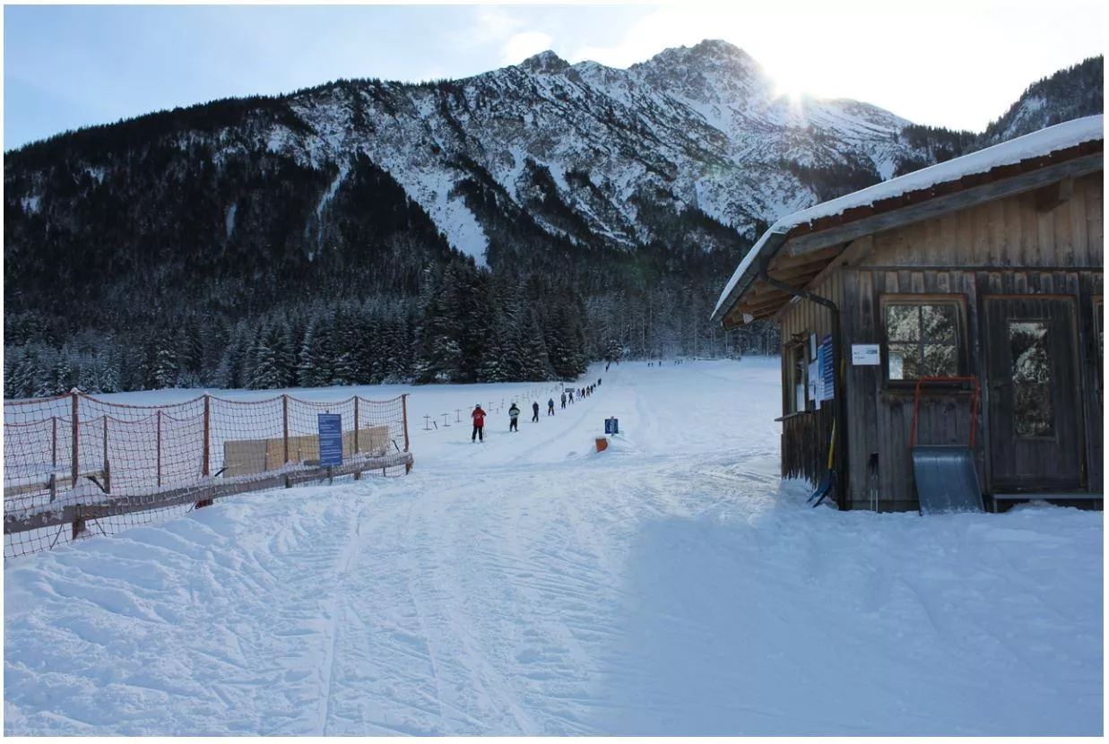
 Viewpoint
 Historic site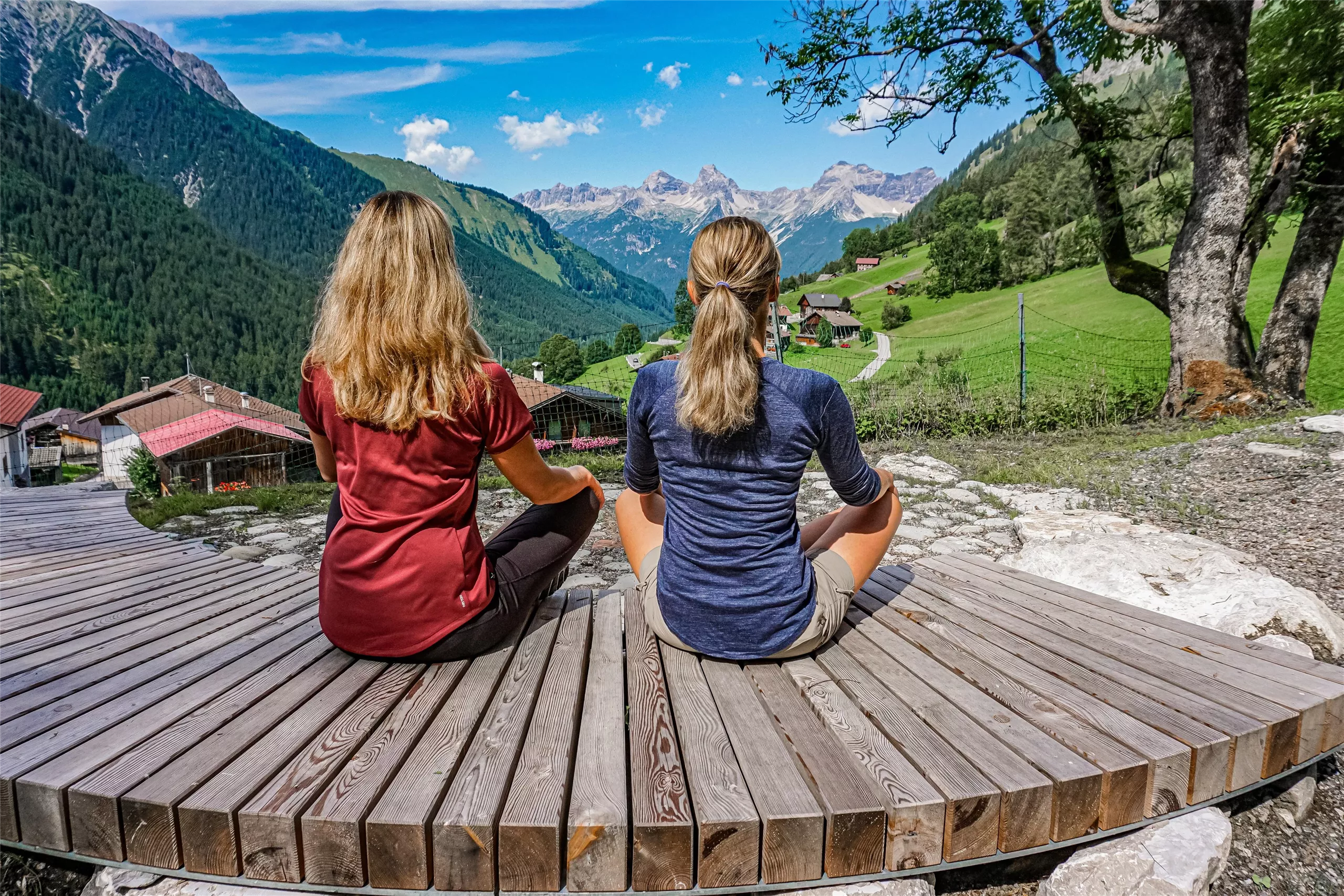






Curated by Lechtal Tourismus
Stanzach
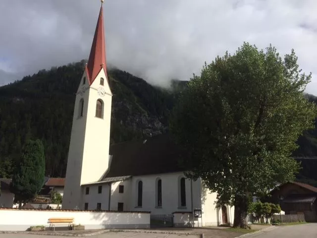
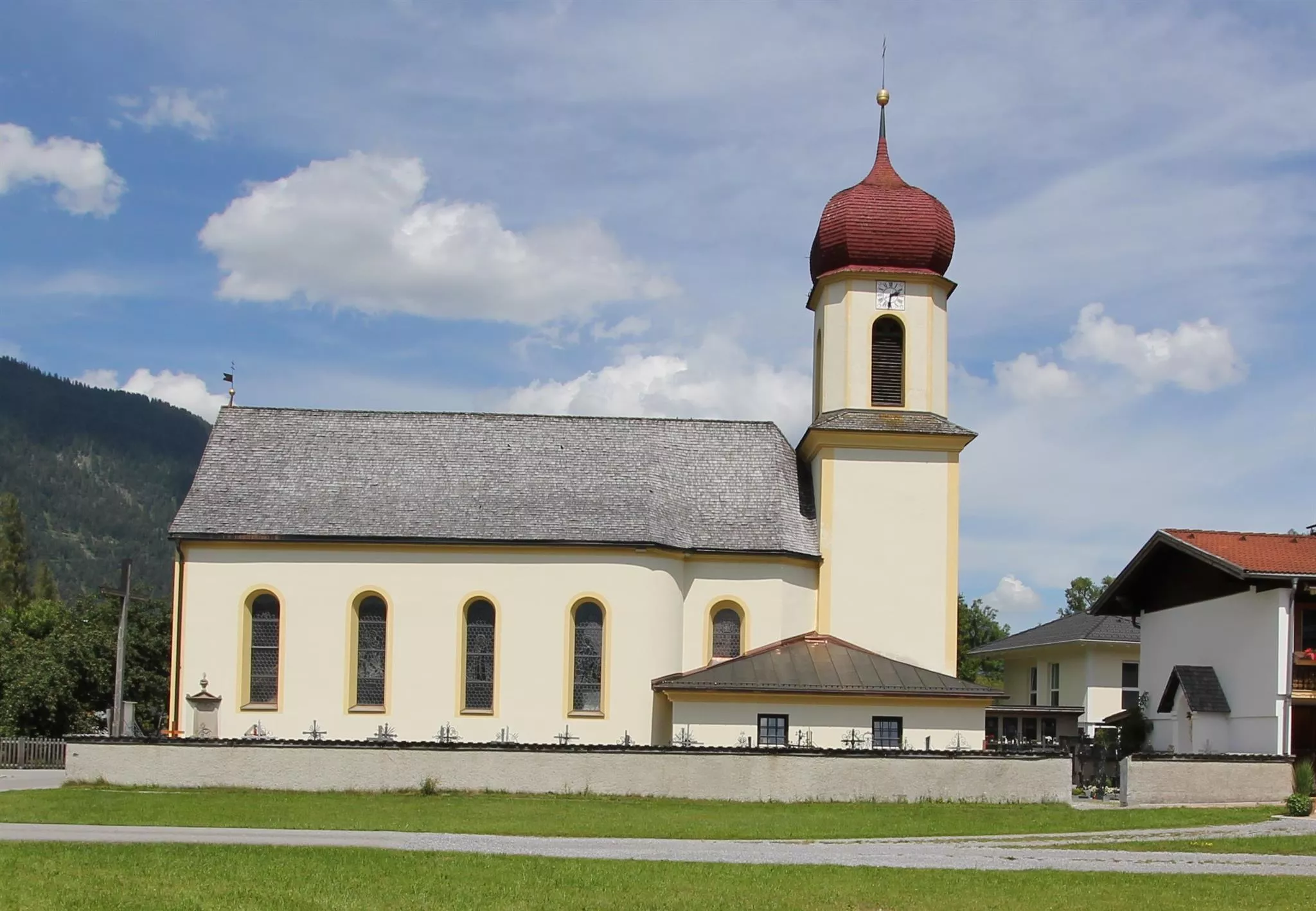
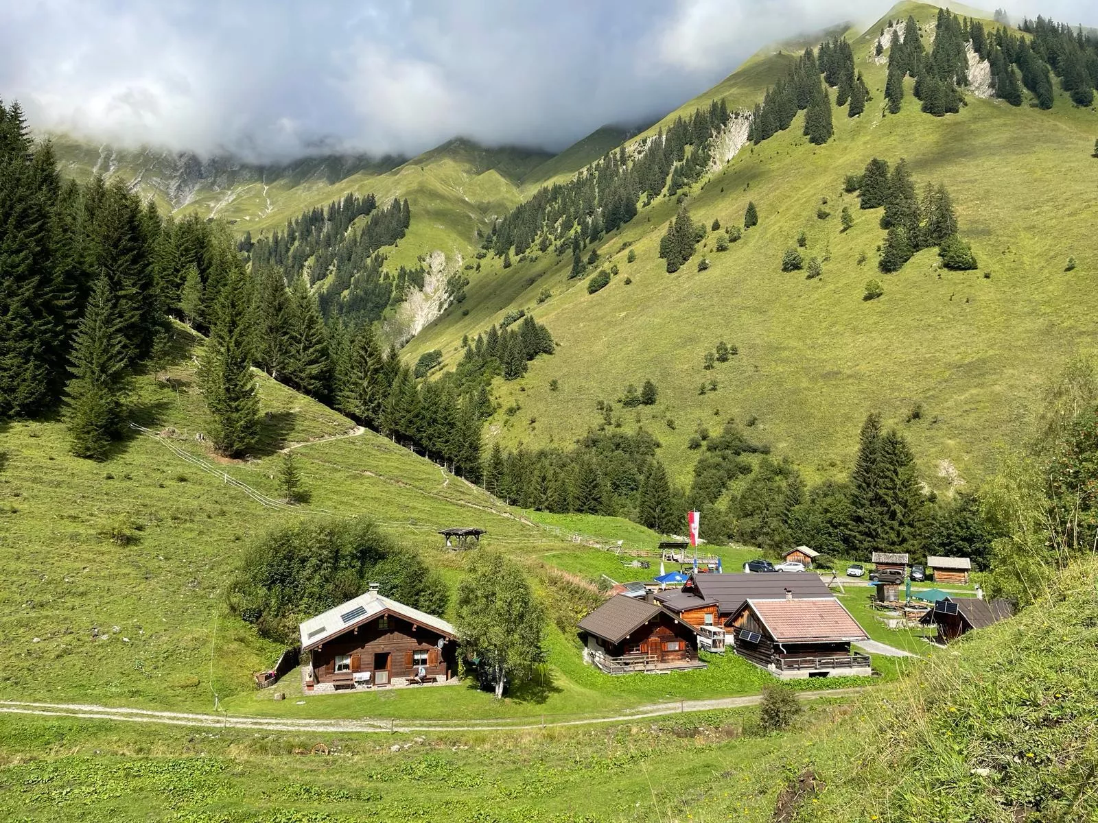
Where the Namlos valley joins the Lech, a village at about 940 m beside the river's wide gravel flats, with the Fallerschein alp village up-valley.
Photo: Michielverbeek licence
- 4Highlights
- 47Routes
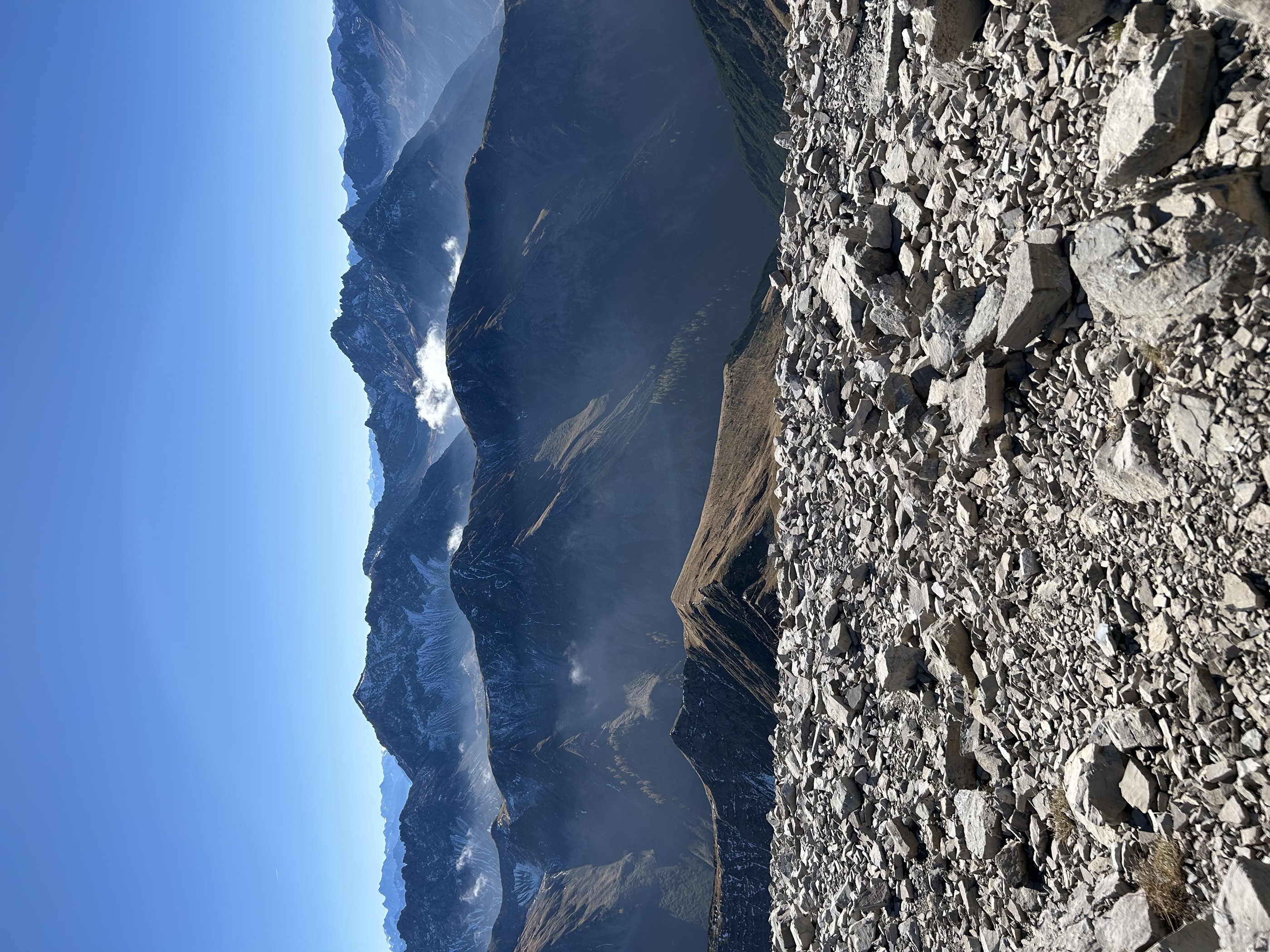
- Featured summit · Namloser Wetterspitze
Highlights
11 from neighbouring places
Michls Fallerscheinstube 1.302 m
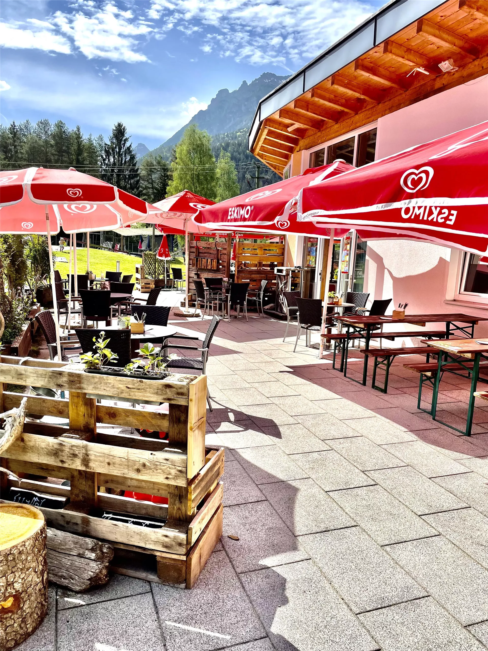
An alm restaurant at 1,302 m in Fallerschein, a historic log-hut village above Stanzach, serving regional dishes in the summer months.
Skilift Stanzach - Stoamandllift
A village ski lift at Stanzach in the Lechtal, its name taken from Stoamandl, the dialect word for a stone cairn figure.
Skilifte Stanzach - Übungslift
A practice ski lift at Stanzach, serving the village nursery slope for beginners in the middle Lechtal at 940 m.
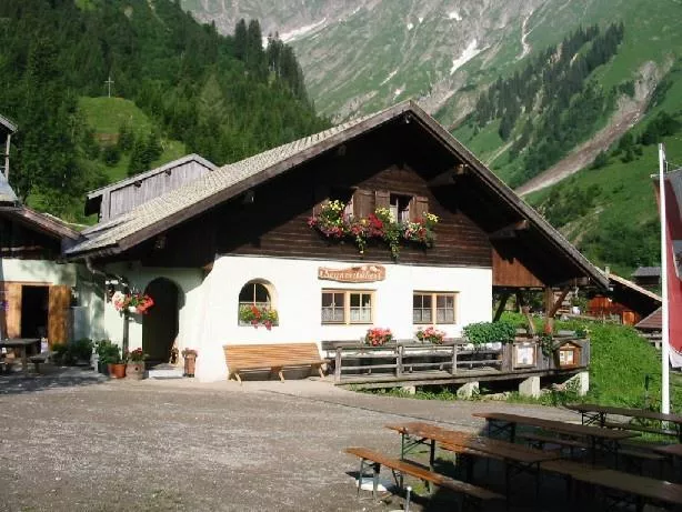
Sennerstüberl Fallerschein 1.302 m
An alm parlour at 1,302 m in Fallerschein, the old log-hut settlement above Stanzach, serving regional dishes to summer visitors.
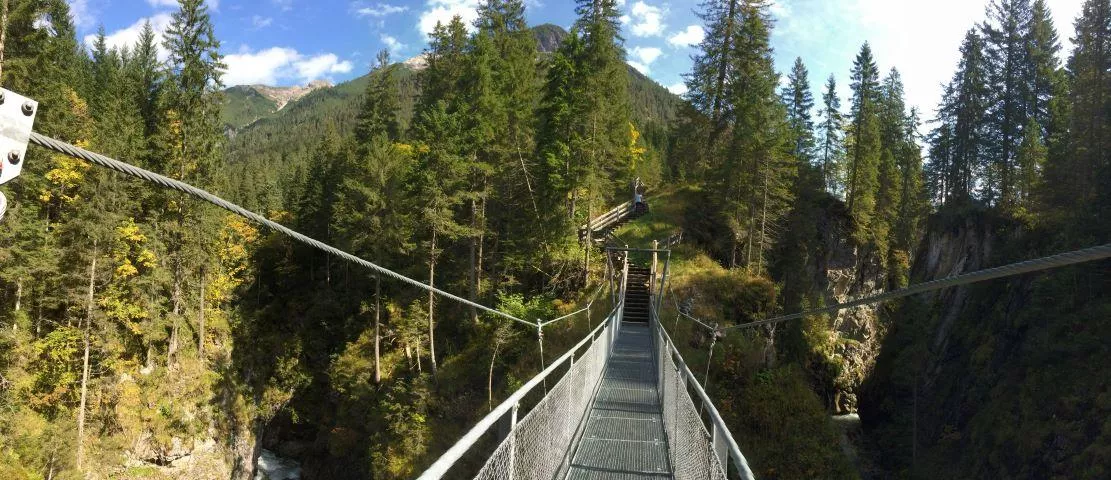
Hängebrücke Fallerschein
3.3 km away, in Namlos
A suspension footbridge on the path network around Fallerschein, spanning a stream gorge in the mountains above Stanzach.
Almwirtschaft Stablalm Elmen 1.412 m
3.6 km away, in Elmen
A working alpine pasture at 1,412 m above Elmen, serving regional food to walkers climbing out of the Lech valley toward the Klimm area.
Freibad Naturerlebnisbad Badino
3.8 km away, in Vorderhornbach
A natural outdoor swimming pool at Vorderhornbach in the Lechtal, with naturally filtered water, lawns and a beach volleyball court at 973 m.
Naturparkhaus "Klimmbrücke"
4.9 km away, in Elmen
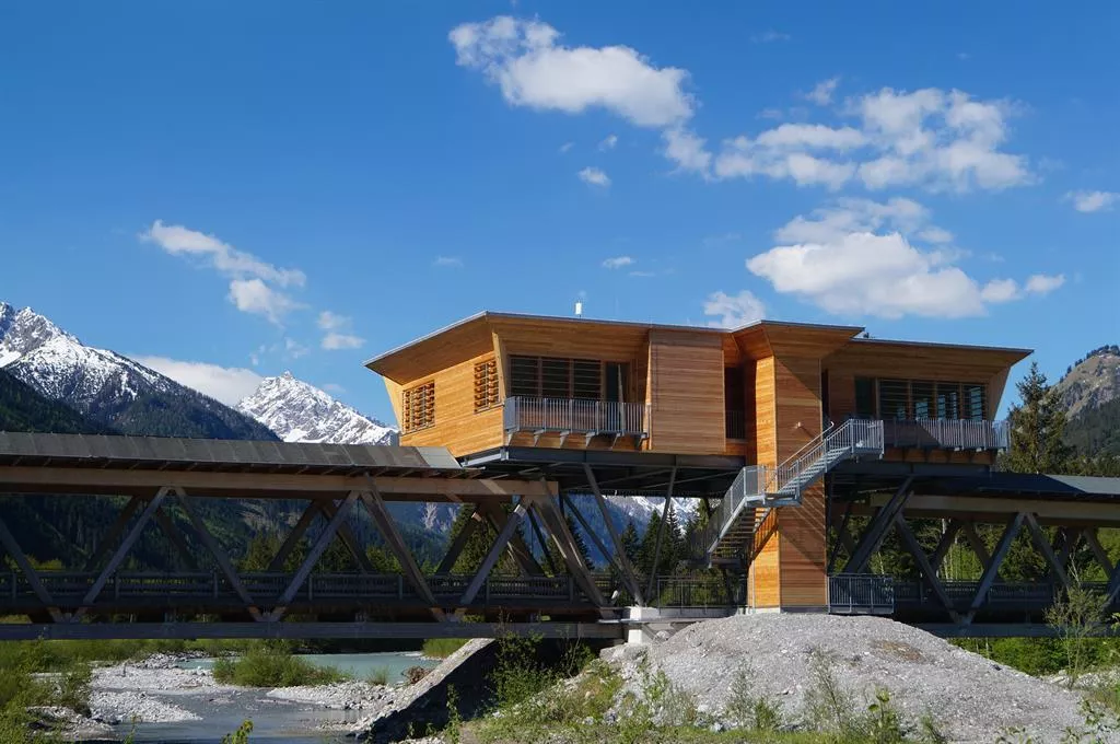
The visitor centre of the Tiroler Lech nature park at the Klimmbrücke near Elmen, with exhibitions on the wild river landscape.
Frauenschuhgebiet Martinau
5 km away, in Elmen
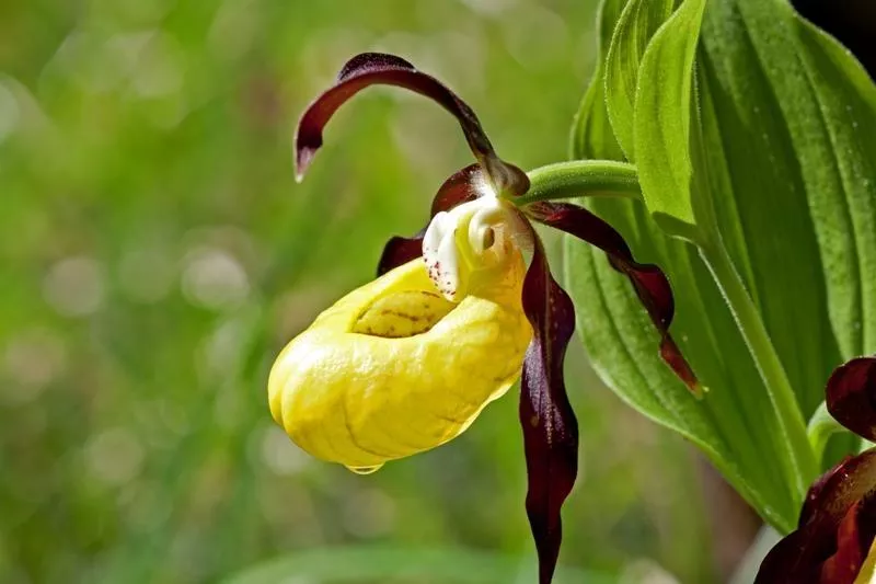
A protected biotope at Martinau near Elmen where the lady's slipper orchid flowers in early summer; guided excursions explain the reserve.
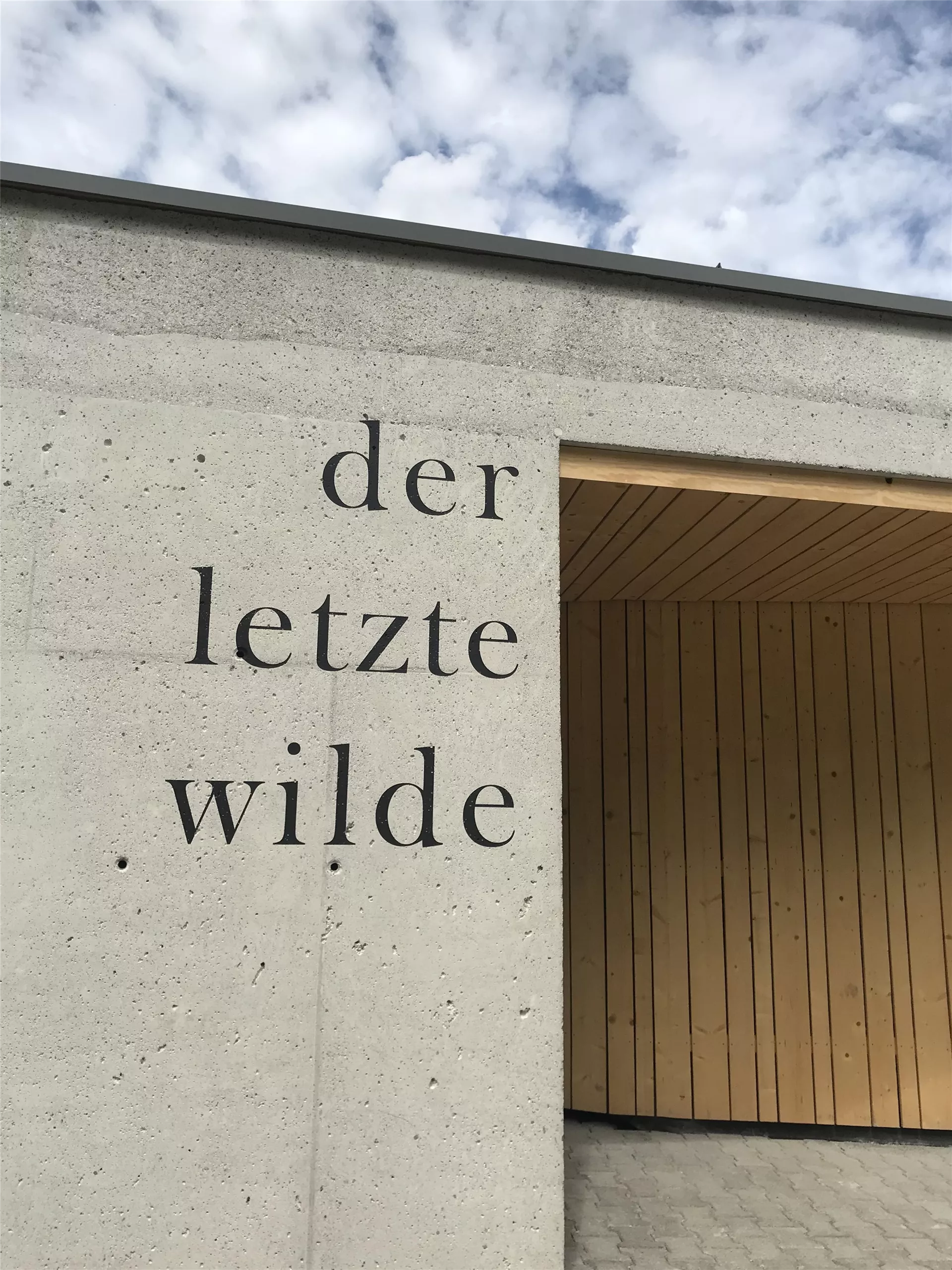
Naturparkzentrum "Der letzte Wilde"
5.6 km away, in Elmen
The visitor centre of the Tiroler Lech nature park at Elmen, with exhibitions on the Lech, one of the last wild river landscapes in the northern Alps.
Kraftplatz "Bei der Äscha"
6.1 km away, in Pfafflar
One of the Lechtal's marked quiet places, a rest area called Bei der Äscha with benches and views over the mountain landscape.
Kirche Boden
6.4 km away, in Pfafflar
The church of Boden, a hamlet of Pfafflar in the Bschlabertal side valley, serving a small mountain community high above the Lechtal.
Kirche Bschlabs
6.4 km away, in Pfafflar
The village church of Bschlabs on the road toward the Hahntennjoch, a small pilgrimage church with churchyard in the side valley.
Kirche Elmen
6.4 km away, in Pfafflar
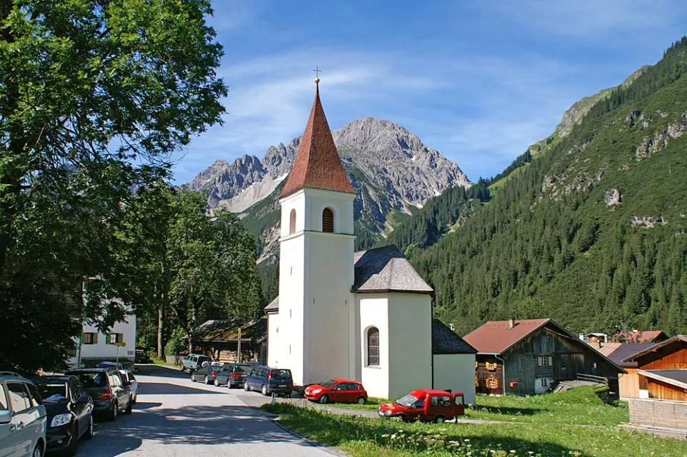
The parish church of Elmen with its churchyard, the historic centre of the village at 976 m beside the wild Lech river.
Kirche Forchach
6.4 km away, in Pfafflar
The parish church of Forchach at 910 m in the lower Lechtal, a historic churchyard church that can also be seen on guided visits.
Nothing of this kind in Stanzach.
Routes
Namlos - Fallerschein
Child-friendly walk from Namlos to Fallerschein, the largest alm hamlet in Tirol, where Michl's Fallerscheinstuben serves hungry hikers.
- 3.8 km
- Distance
- 119 m
- Ascent
- 1 h 7 min
- Duration
- 6
- Check-ins
Stanzach - Neerengrat zur Stablalm
Ascent from Stanzach along the Neerengrat ridge over the Nerenköpfe to the Stablalm — a steady 750 m climb with open views most of the way.
- 9.9 km
- Distance
- 745 m
- Ascent
- 4 h 51 min
- Duration
- 15
- Check-ins
Abzweigung Namloserstraße - Fallerschein - Namloser Wetterspitze - Anhalter Hütte
Committing round from the Namloser Straße turnoff via Fallerschein toward the Namloser Wetterspitze and the Anhalter Hütte, crossing the Grubigjoch — 1,500 m of climbing.
- 12.4 km
- Distance
- 1 505 m
- Ascent
- 7 h 23 min
- Duration
- 21
- Check-ins
Skitour auf den Elmer Muttekopf
Ski tour onto the Elmer Muttekopf through the north-facing Schafkar, which holds cold powder well; the upper slopes face southeast and catch the midwinter sun.
- 3.8 km
- Distance
- 1 199 m
- Ascent
- 0 m
- Descent
- 3 h 1 min
- Duration
Lechzopf Tour kurz
A flat valley ride along the Lech from Elmen, with the campsite at Vorderhornbach marking the turn for the way back.
- 13.2 km
- Distance
- 80 m
- Ascent
- 1 h 15 min
- Duration
- 8
- Check-ins
Gravelbike Tour 1.3 - Durch den Naturpark Tiroler Lech
A long gravel run up the Lech valley in Tirol, with the Petersbergalm at 1,250 m and the Drähhüttenalm on the higher sections.
- 79.4 km
- Distance
- 688 m
- Ascent
- 7 h 42 min
- Duration
- 41
- Check-ins
2026_RAD-MARATHON_103 km
The long course of a road marathon out of the Tannheimer Tal, crossing the Oberjoch pass and the Wertach-Iller watershed on the German side.
- 103.4 km
- Distance
- 1 489 m
- Ascent
- 10 h 34 min
- Duration
- 203
- Check-ins
Stanzach (Abzweigung Namloserstraße) - Almdorf Fallerschein
The shortest way into Fallerschein: an easy two-kilometre forest track from the Namloser Straße turnoff to Tirol's largest alm village.
- 2.2 km
- Distance
- 96 m
- Ascent
- 40 min
- Duration
- 6
- Check-ins
Elmen - Über die Neeren zur Stablalm
Ridge variant to the Stablalm from Elmen over the Nerenköpfe, with repeated views to the Allgäu Alps and the Hochvogel.
- 6.8 km
- Distance
- 723 m
- Ascent
- 3 h 38 min
- Duration
- 13
- Check-ins
Lechweg - Gemütliche Variante - Etappe 6 - Elmen bis Weißenbach
Relaxed Lechweg stage from Elmen to Weißenbach on the valley floor, passing the Baggersee bathing lake and a bird-watching hide along the Lech.
- 20.0 km
- Distance
- 210 m
- Ascent
- 5 h 19 min
- Duration
- 13
- Check-ins
Almdorf Fallerschein
A short forest-road climb out of the Lech valley to the alm hamlet at 1,300 m, with a wildlife observation point beside the track.
- 11.3 km
- Distance
- 348 m
- Ascent
- 1 h 13 min
- Duration
- 7
- Check-ins
Gravelbike Tour 4.1 - Berwanger Talrunde
A long gravel-road circuit through the Berwanger Tal and down towards the Lech, passing below the Thanellerkar and by the Baggersee.
- 54.1 km
- Distance
- 834 m
- Ascent
- 5 h 35 min
- Duration
- 29
- Check-ins
Namlosrunde
A long road circuit from Reutte through the Tannheimer Tal past the Haldensee, crossing the Vils–Lech watershed on the way home.
- 87.1 km
- Distance
- 1 713 m
- Ascent
- 9 h 21 min
- Duration
- 85
- Check-ins
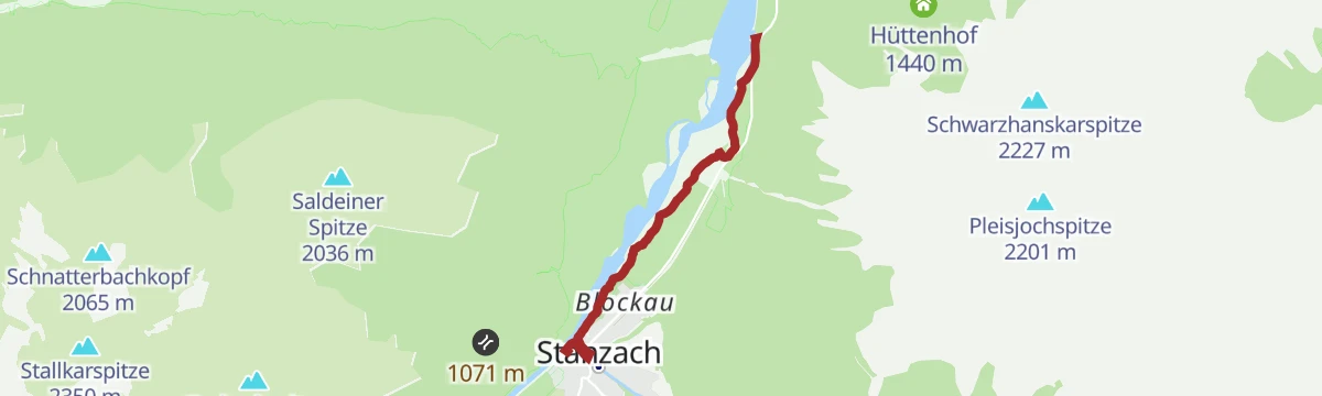
Am Lech entlang: Forchach-Stanzach
Flat riverside walk from Forchach to Stanzach, passing a bird-watching hide on the gravel banks of the braided Lech.
- 4.1 km
- Distance
- 21 m
- Ascent
- 60 min
- Duration
- 3
- Check-ins
Stanzach - Panoramaweg zur Stablalm
Family-friendly route from Stanzach up to the Stablalm, climbing steadily to the alp with long views over the Lech valley.
- 8.3 km
- Distance
- 488 m
- Ascent
- 2 h 43 min
- Duration
- 13
- Check-ins
Lechweg - Klassische Variante - Etappe 6 - Stanzach bis Wängle
Stage 6 of the classic Lechweg: over 20 nearly flat kilometres from Stanzach to Wängle, following the wild river past gravel banks and a bird hide.
- 20.8 km
- Distance
- 63 m
- Ascent
- 5 h 4 min
- Duration
- 8
- Check-ins
Lechradweg von Steeg bis Reutte
A long, nearly level run down the Lech valley to Reutte, following the river past the campsite at Vorderhornbach and the Baggersee.
- 53.2 km
- Distance
- 32 m
- Ascent
- 4 h 50 min
- Duration
- 29
- Check-ins
Steeg-Kaisers
A very long day on the road from the Lechtal into the Tannheimer Tal, over the Vils/Lech watershed and past the Haldensee.
- 118.1 km
- Distance
- 1 951 m
- Ascent
- 12 h 19 min
- Duration
- 76
- Check-ins
Lechweg Abschnitt: Stanzach - Forchach
A level stage of the Lechweg from Stanzach to Forchach, tracing gravel banks through the braided channels of the wild river landscape.
- 5.5 km
- Distance
- 0 m
- Ascent
- 1 h 18 min
- Duration
- 3
- Check-ins
Stanzach - Über die Hängebrücke
A long, level loop from Stanzach that crosses the Lech on a suspension bridge — laid out to suit families, wheelchairs and pushchairs.
- 12.8 km
- Distance
- 42 m
- Ascent
- 3 h 6 min
- Duration
- 9
- Check-ins
Lechwegschleife "Zum Hornbach und zurück"
Long Lechweg side loop from Elmen out to the mouth of the Hornbach valley and back, a full-day round along the river terraces.
- 18.4 km
- Distance
- 627 m
- Ascent
- 5 h 52 min
- Duration
- 5
- Check-ins
Lechzopf Tour
A nearly level ride along the braided river Lech between Elmen and Vorderhornbach, on the valley track past the campsite.
- 26.2 km
- Distance
- 162 m
- Ascent
- 2 h 28 min
- Duration
- 14
- Check-ins
Stanzach-Hinterhornbach
A long valley ride between the Lech and the Tannheimer Tal, crossing the Vils/Lech watershed and passing the Haldensee.
- 79.3 km
- Distance
- 1 439 m
- Ascent
- 8 h 24 min
- Duration
- 71
- Check-ins
Stanzach zum Lechzopf nach Forchach
Flat riverside walk from Stanzach to the Lechzopf gravel bars near Forchach, past a bird-watching hide on the wild Lech.
- 4.0 km
- Distance
- 0 m
- Ascent
- 58 min
- Duration
- 3
- Check-ins
Stanzach-Jägersteig-Fallerschein
High-path route from Stanzach along the Jägersteig to the alm village of Fallerschein, with a stop possible at Michl's Fallerscheinstuben.
- 11.3 km
- Distance
- 640 m
- Ascent
- 3 h 55 min
- Duration
- 6
- Check-ins
Stanzach - Pleisspitze
Serious summit hike from Stanzach to the Pleisspitze via the Pleishütte, gaining almost 1,200 m — a rewarding Lechtaler viewpoint.
- 7.1 km
- Distance
- 1 163 m
- Ascent
- 4 h 27 min
- Duration
- 3
- Check-ins
Lechzopf Tour – MTB-Spaß rund um das Tannheimer Tal
A rolling ride on tracks along the Lech between Stanzach and Vorderhornbach, passing the Jagdthüttenalpe and a riverside campsite.
- 26.6 km
- Distance
- 387 m
- Ascent
- 2 h 43 min
- Duration
- 14
- Check-ins
Häselgehr-Gramais
A long day linking the Lech valley with the Tannheimer Tal, past the Haldensee and over the Vils-Lech watershed at 1,146 m.
- 87.1 km
- Distance
- 1 626 m
- Ascent
- 9 h 16 min
- Duration
- 62
- Check-ins
Stanzach - Auf den Baichlstein
A family climb from Stanzach onto the Baichlstein, a modest wooded summit whose rocky top looks straight down the Lech valley.
- 3.9 km
- Distance
- 245 m
- Ascent
- 1 h 19 min
- Duration
- 1
- Check-ins
Stanzach - Namloser Wetterspitze
A summit walk out of Stanzach in the Lechtal, climbing to the top of the Namloser Wetterspitze on the Tyrolean side of the Lechtaler Alps.
- 7.3 km
- Distance
- 0 m
- Ascent
- 3 h 24 min
- Duration
- 5
- Check-ins
Lechzopf-Runde (8007)
A waymarked mountain-bike round along the Lech valley floor, with little climbing and a stop possible at the Feldele or the Jagdthüttenalpe.
- 26.7 km
- Distance
- 407 m
- Ascent
- 2 h 45 min
- Duration
- 14
- Check-ins
Gravelbike Tour 1.3 - Durch den Naturpark Tiroler Lech
A long gravel ride through the Naturpark Tiroler Lech from Weißenbach, taking in the Petersbergalm and the Drähhüttenalm above the river.
- 79.4 km
- Distance
- 1 443 m
- Ascent
- 8 h 24 min
- Duration
- 41
- Check-ins
Am Lech entlang: Elmen-Stanzach
Flat riverside walk from Elmen to Stanzach along the gravel flats of the Lech, one of the last wild river landscapes in the Alps.
- 6.3 km
- Distance
- 46 m
- Ascent
- 1 h 37 min
- Duration
Stanzach - Höhenweg Errachau
A shaded circuit through mixed forest on the Errachau high path above Stanzach, with around 180 m of gentle climbing spread over the round.
- 11.0 km
- Distance
- 180 m
- Ascent
- 3 h 1 min
- Duration
- 3
- Check-ins
Gravelbike Tour 2.1 - Lechzopf
A long gravel loop out of the Lechtal, taking in the Fallerschein meadows at around 1,300 m and the quiet Hornbach side valley.
- 65.6 km
- Distance
- 1 523 m
- Ascent
- 7 h 16 min
- Duration
- 30
- Check-ins
Lechweg Abschnitt: Vorderhornbach - Stanzach
Brief Lechweg leg from Vorderhornbach to Stanzach, under an hour on an easy path past Spiesemühl; a gentle taste of the long-distance route.
- 3.0 km
- Distance
- 0 m
- Ascent
- 44 min
- Duration
Stanzach - Höhenweg nach Forchach
A nearly flat panorama path linking Stanzach with Forchach along the Lech valley, passing a Vogelbeobachtungshütte where you can watch birdlife over the river flats; a good family outing.
- 8.4 km
- Distance
- 57 m
- Ascent
- 2 h 7 min
- Duration
- 3
- Check-ins
Gravelbike Tour 4.1 - Berwanger Talrunde
A gravel loop through the Berwang valley from Reutte, climbing past the Thanellerkar and the Rastkopf huts to the Schwarzes Kreuz.
- 54.1 km
- Distance
- 1 175 m
- Ascent
- 5 h 54 min
- Duration
- 29
- Check-ins
Stanzach - Heach-Kapelle - Besinnungsweg
Quiet contemplative walk from Stanzach to the Heach chapel along a reflection path, alternating shaded forest with sunny clearings.
- 5.2 km
- Distance
- 142 m
- Ascent
- 1 h 33 min
- Duration
Stanzach - zum Frauenschuhgebiet
Level valley walk from Stanzach past Spiesemühl to the orchid meadows near Martinau, where Central Europe's largest colony of lady's-slipper blooms in late spring.
- 8.0 km
- Distance
- 34 m
- Ascent
- 1 h 56 min
- Duration
- 3
- Check-ins
Stanzach - Schneckenwaldboden Runde
Flat, easy loop around Stanzach through the Schneckenwaldboden meadows — a short village round on the valley floor.
- 4.5 km
- Distance
- 32 m
- Ascent
- 1 h 7 min
- Duration
Vorderhornbach - Baichlsteinrunde
Loop from Vorderhornbach over the wooded Baichlstein knoll, whose top looks down on the Lechzopf, the braided junction where the Hornbach meets the Lech.
- 8.9 km
- Distance
- 203 m
- Ascent
- 2 h 34 min
- Duration
- 3
- Check-ins
Vorderhornbach - Lechuferweg nach Stanzach
River-flat walk from Vorderhornbach along the Lech's bank to Stanzach, suitable for all ages; the braided gravel channels are the show the whole way.
- 7.1 km
- Distance
- 22 m
- Ascent
- 1 h 42 min
- Duration
- 3
- Check-ins
Stanzach - Baichlstein - Höhenweg nach Vorderhornbach
Climbs Stanzach's local lookout rock, the Baichlstein, then follows a high path above the Lech to Vorderhornbach; the modest summit gives a wide view over the braided river.
- 10.0 km
- Distance
- 271 m
- Ascent
- 3 h 1 min
- Duration
- 1
- Check-ins
Elmen: Panoramaweg nach Stanzach
Panoramic route from Elmen to Stanzach along the slope above the Lech, a mostly gentle family walk between the two villages.
- 8.2 km
- Distance
- 138 m
- Ascent
- 2 h 19 min
- Duration
Stanzach - Jägersteig nach Namlos
A sunny hunters' path traversing the flank of the Namlosertal from Stanzach to Namlos, past the G.-Schretter-Hütte; narrow in places and best left to sure-footed walkers.
- 10.2 km
- Distance
- 552 m
- Ascent
- 3 h 29 min
- Duration
Stanzacher Rundwanderweg
Easy-going loop north and south of the village through the Lech's gravel banks and floodplain woodland, with no technical difficulty; suited to all ages.
- 11.3 km
- Distance
- 156 m
- Ascent
- 3 h 3 min
- Duration
No routes of this kind in Stanzach yet.
The region's own picks

Featured route
Namlos - Fallerschein
Child-friendly walk from Namlos to Fallerschein, the largest alm hamlet in Tirol, where Michl's Fallerscheinstuben serves hungry hikers.
Planning a trip to Stanzach?
Everything else Tyrol has, in one place


Take Stanzach with you into the mountains
Every route on this page with 3D terrain, GPX navigation and offline maps — including the valleys with no signal.
Data sources
- Official website: lechtal.at ↗
- Routes and highlights: Lechtal Tourismus, Tannheimer Tal, Naturparkregion Reutte
- Published as open data by the tourist boards named above.
- Region summary generated from the board's own material.
