
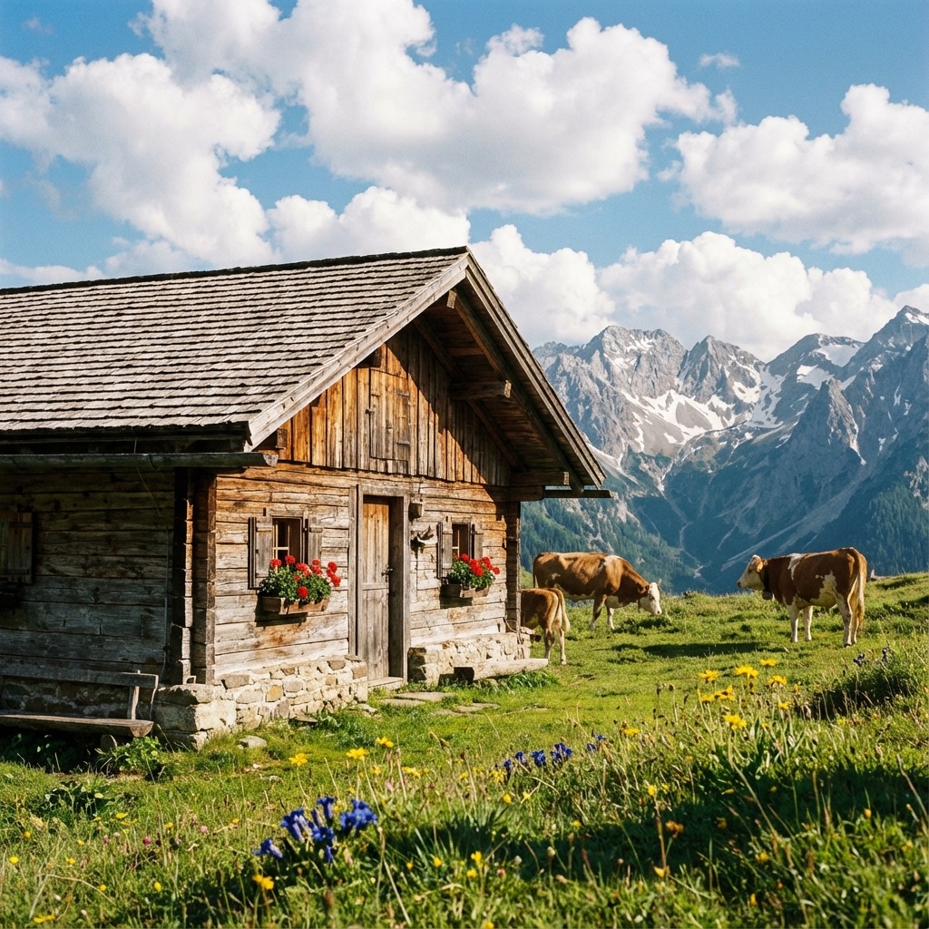
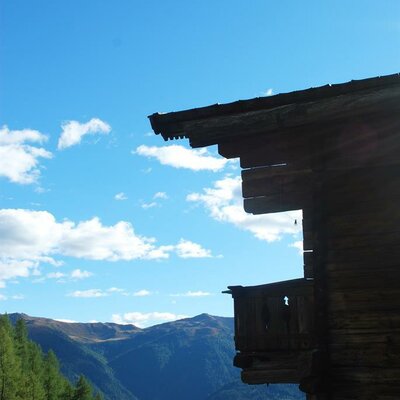
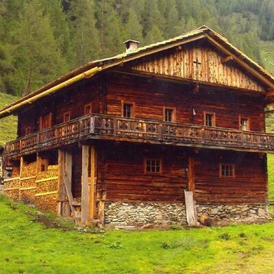
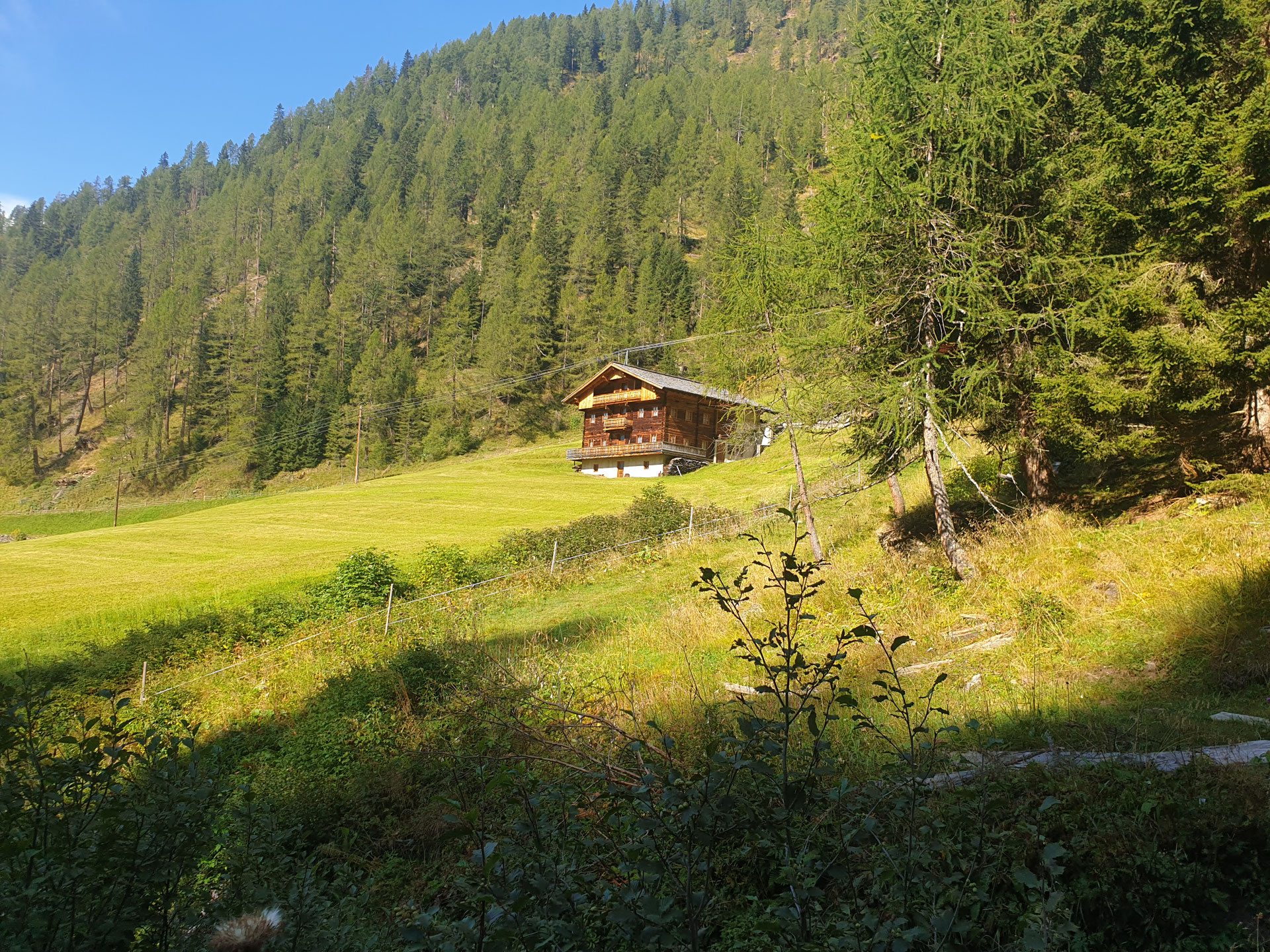
 Mountain hut





Curated by Osttirol Tourismus
St. Veit in Defereggen
Sunny-slope villages at about 1500 m in the middle Defereggental, settled from the Virgental and for six centuries tied to Salzburg rather than Tirol.
- 3Highlights
- 18Routes
- Featured summit · Großes Degenhorn
Highlights
12 from neighbouring places
Bruggeralm 1.818m
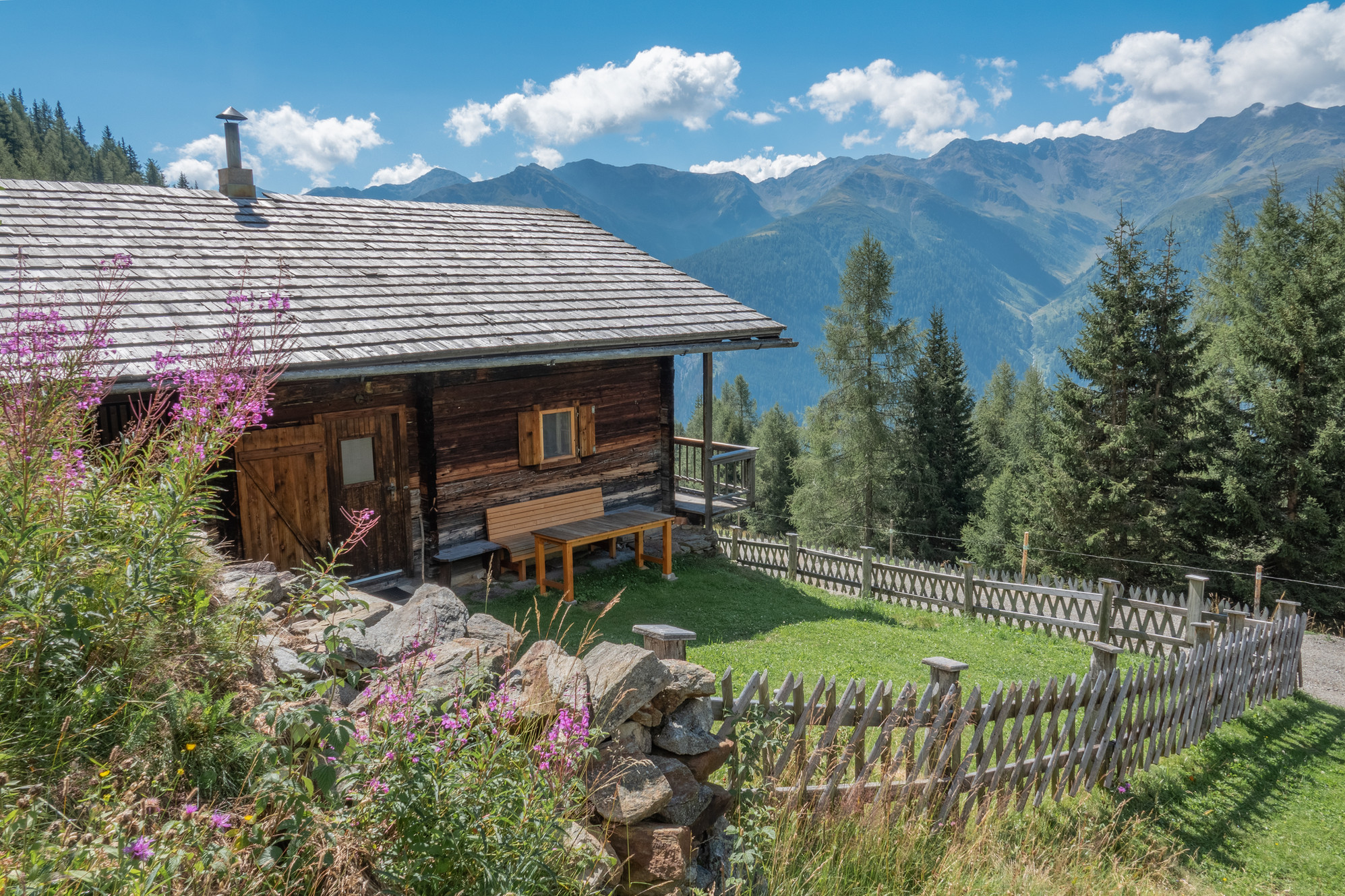
An alm hut at 1,818 m above the Defereggen valley near St. Veit, serving walkers through the summer grazing season.
Gritzer Alm - Nitzler Almhütte
An alm hut on the Gritzer pastures above St. Veit in Defereggen, near paths climbing toward the Gritzer lakes.
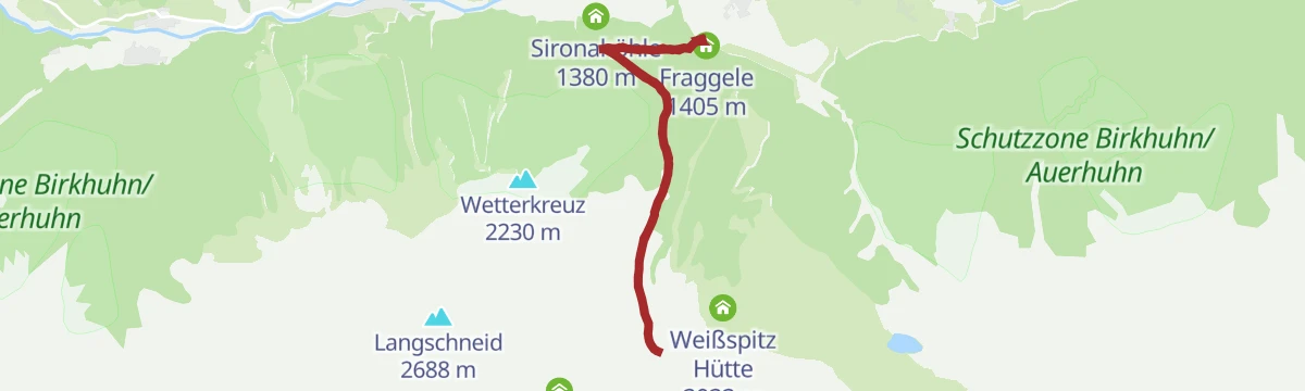
Weißspitzhütte
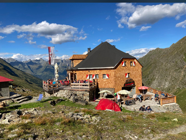
A hut high above the Defereggen valley near St. Veit, named after the Weiße Spitze and reached on marked paths from the valley.
Sportalm Kuhstall
4 km away, in St. Jakob in Defereggen
A hut restaurant beside the lifts of St. Jakob in Defereggen, carrying the tongue-in-cheek name Kuhstall, or cowshed.
Lasörlinghütte 2.350m
5.3 km away, in Virgen
A hut at 2,350 m below the Lasörling summit, a stage on the Lasörling high trail running along the south side of the Virgental.
Oberkoflalm
5.9 km away, in Außervillgraten
An alm hut on the slopes above Außervillgraten, reached by farm tracks through the Villgraten grazing country.
Geiregg-Alm
8.9 km away, in Außervillgraten
An alm hut in the grazing country above Außervillgraten, reached on foot through the Villgraten valley's slopes.
Bergerseehütte 2.181m
9 km away, in Virgen
A hut at 2,181 m beside the Berger See, a small mountain lake in the Lasörling group above the Virgental.
Motschendaberhütte
9.1 km away, in Virgen
A simple mountain hut set in the alm meadows above Virgen in the Virgental.
Almhütte Arnitzalm
9.4 km away, in Matrei in Osttirol
An alm hut on the Arnitz pastures in the mountains south of Matrei in Osttirol, in quiet walking country.
Almhütte SCHMIDHOFALM
9.5 km away, in Innervillgraten
The alm hut of the Schmidhof farm above Innervillgraten, occupied through the summer grazing months.
Almhütte Thalefeld - Lanser Erwin
10 km away, in Innervillgraten
A privately owned alm hut on the Thalefeld pastures above Innervillgraten, typical of the valley's scattered summer huts.
Die Brandalm
10.2 km away, in Außervillgraten
An alm hut above Außervillgraten in the Villgraten valley, run through the summer season as a stop for walkers.
Almhütte Thaletalm
10.5 km away, in Innervillgraten
An alm hut in the Thaletal pastures above Innervillgraten, a rustic base in the Villgraten mountains.
Laberalm
10.9 km away, in Virgen
An alm hut above Virgen in the Virgental, reached on marked paths through the summer pastures.
Nothing of this kind in St. Veit in Defereggen.
Routes
Kleiner Leppleskofel 2.469m
Short summit stroll in the St. Jakob lift area, heading from the Mooserberg past the Ochsenlacke reservoir to a 2,469 m viewpoint — a big panorama for minimal effort.
- 2.3 km
- Distance
- 120 m
- Ascent
- 52 min
- Duration
- 8
- Check-ins
 Mooserberg 2 366 m
- Kleiner Leppleskofel 2 469 m
 Speicherteich Ochsenlacke 2 363 m
- Ochsenlacke 2 363 m
Großer Leppleskofel 2.881 m
From the Leppleskofelbahn top station a ridge path climbs above the Mooseralm to a 2,881 m summit — genuinely high ground made short by the lift.
- 3.8 km
- Distance
- 423 m
- Ascent
- 2 h 33 min
- Duration
- 20
- Check-ins
Speikboden 2.660m
Long round from the Oberholz car park in St. Veit via the Speikbodenhütte to a broad 2,660 m summit with a wide Defereggen panorama.
- 17.1 km
- Distance
- 1 185 m
- Ascent
- 7 h 54 min
- Duration
- 6
- Check-ins
Skitour Vom Gr. Leppleskofel (2.812m) ins Leppetal
Lift-linked touring round in the St. Jakob ski area: from the Leppleskofelbahn top station to the 2,812 m summit, then a long descent into the untracked Leppetal.
- 6.2 km
- Distance
- 1 409 m
- Ascent
- 1 409 m
- Descent
- 4 h 26 min
- Duration
- 13
- Check-ins
Speikbodenhütte - Gritzer Alm Nr. 159 - Alternative Gritzer Alm
A short alternative link on the Defereggen bike route network, joining the track up to the Gritzer Alm at just over 2,000 m.
- 1.7 km
- Distance
- 80 m
- Ascent
- 14 min
- Duration
- 2
- Check-ins
Brugger Alm Nr. 134
A short, steep forest-road climb from the Brunnalmbahn base station at St. Jakob up to the dairy at 1,818 m, 400 m in under 4 km.
- 3.9 km
- Distance
- 403 m
- Ascent
- 56 min
- Duration
- 4
- Check-ins
Mooseralm Nr. 161
A steep forest-road climb up the Mooserberg above St. Jakob, nearly 1,000 m to the alm at 2,350 m beside the lift station.
- 9.1 km
- Distance
- 992 m
- Ascent
- 2 h 17 min
- Duration
- 17
- Check-ins
Bike & Hike Langschneid 2.684m
The riding stage of a bike-and-hike day in the Defereggental, up to the Ragötzlalm and the saddle at 2,492 m below the summit.
- 16.2 km
- Distance
- 1 308 m
- Ascent
- 3 h 11 min
- Duration
- 8
- Check-ins
Bruggenrunde
Easy loop around the Bruggen side of St. Veit in Defereggen, on quiet paths past the Alzenbrunnhütte along the valley's sunny flank.
- 4.5 km
- Distance
- 67 m
- Ascent
- 1 h 14 min
- Duration
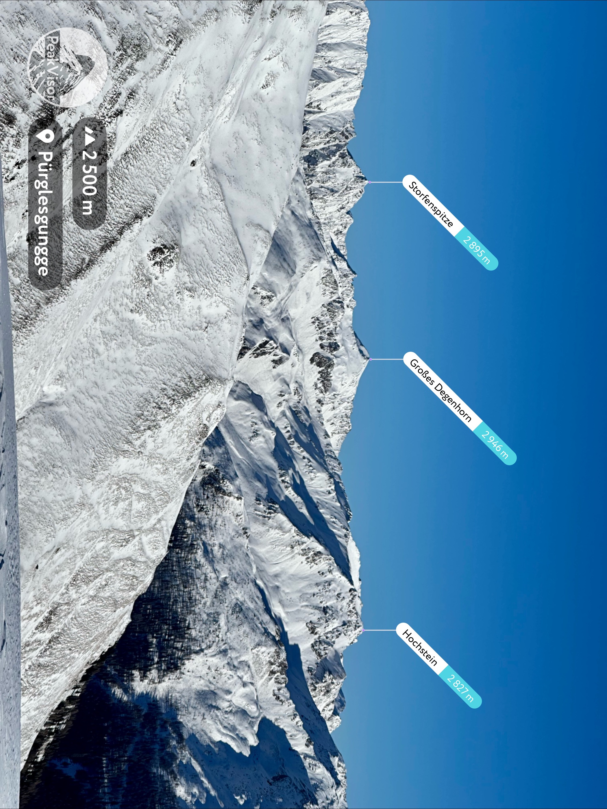
Wanderung zum Großen Degenhorn 2.946m
Ridge day from the Brunnalmbahn bus stop: past the Mooseralm and the Ochsenlenke to the Degenhornsee and a 2,946 m summit, with its smaller neighbour as a bonus.
- 10.3 km
- Distance
- 752 m
- Ascent
- 4 h 57 min
- Duration
- 14
- Check-ins
SkitourSpeikboden 2.653m
Winter route from Oberholz above St. Veit past the Speikbodenhütte to a rounded 2,653 m top — close to 1,000 m of skinning on mostly open slopes.
- 3.9 km
- Distance
- 974 m
- Ascent
- 974 m
- Descent
- 3 h 1 min
- Duration
- 6
- Check-ins
Speikbodenhütte 159
A steep forest-road climb out of the Defereggental to the hut and viewpoint at just over 2,000 m, more than 600 m of ascent in 6 km.
- 5.8 km
- Distance
- 618 m
- Ascent
- 1 h 25 min
- Duration
- 2
- Check-ins
Wanderung zur Brugger Alm 1.818m
Comfortable climb from the St. Jakob ski centre past the Sportalm Kuhstall to the Bruggeralm at 1,818 m, with open views over the Defereggental pastures.
- 7.0 km
- Distance
- 420 m
- Ascent
- 2 h 55 min
- Duration
- 2
- Check-ins
Skitour Langschneid 2.687m
Ski tour above the Defereggental climbing past the Ragötzlalm to a 2,687 m ridge summit — around 1,250 m of ascent with open upper slopes.
- 5.6 km
- Distance
- 1 252 m
- Ascent
- 1 252 m
- Descent
- 3 h 57 min
- Duration
- 4
- Check-ins
Wanderung zur Speikbodenhütte 2.050m
Hut walk on the sunny St. Veit side of the Defereggental — about 550 m of steady climbing from Oberholz to a pasture hut at 2,050 m.
- 5.4 km
- Distance
- 552 m
- Ascent
- 3 h 23 min
- Duration
- 2
- Check-ins
Skitour Mullitz Kopf 2.736m
From St. Veit the skin track passes the Speikbodenhütte and crosses the Gritzer Riegel to a 2,736 m top on the Lasörling side of the valley.
- 4.1 km
- Distance
- 1 077 m
- Ascent
- 1 077 m
- Descent
- 3 h 19 min
- Duration
- 2
- Check-ins
Panoramaweg "Leben am Steilhang"
Balcony trail through the steep farm country of St. Veit, its stations describing how mountain farmers work near-vertical ground — with long views down the Defereggental.
- 9.4 km
- Distance
- 480 m
- Ascent
- 3 h 29 min
- Duration
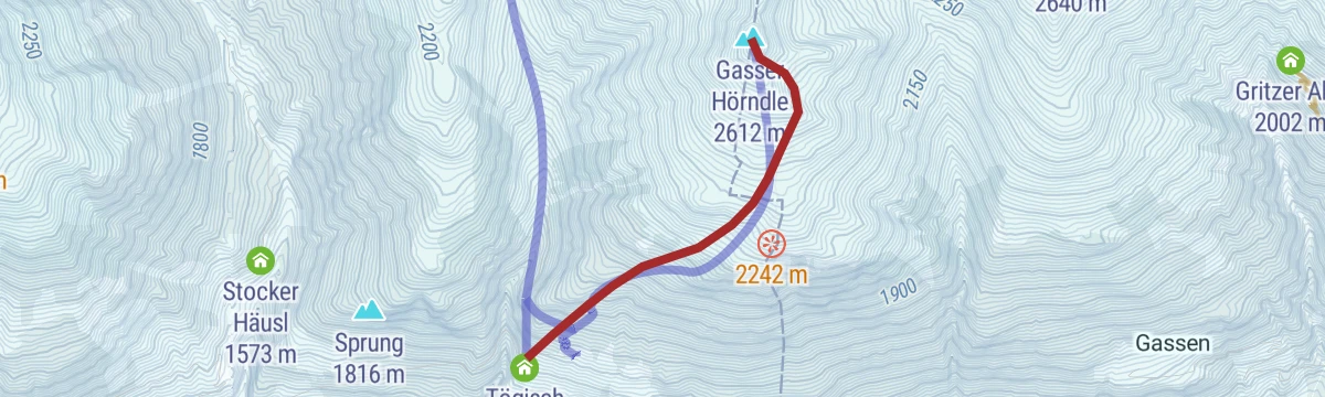
Skitour Gasser Horn 2.612m
Very direct ski tour from Tögisch above St. Jakob — more than 900 m of ascent in barely 2.5 km to a 2,612 m summit, steep almost throughout.
- 2.4 km
- Distance
- 932 m
- Ascent
- 932 m
- Descent
- 2 h 43 min
- Duration
- 1
- Check-ins
No routes of this kind in St. Veit in Defereggen yet.
The region's own picks

Featured route
Kleiner Leppleskofel 2.469m
Short summit stroll in the St. Jakob lift area, heading from the Mooserberg past the Ochsenlacke reservoir to a 2,469 m viewpoint — a big panorama for minimal effort.
Planning a trip to St. Veit in Defereggen?
Everything else Tyrol has, in one place


Take St. Veit in Defereggen with you into the mountains
Every route on this page with 3D terrain, GPX navigation and offline maps — including the valleys with no signal.
Data sources
- Official website: osttirol.com ↗
- Routes and highlights: Osttirol Tourismus
- Published as open data by the tourist boards named above.
- Region summary generated from the board's own material.
