
 Mountain hut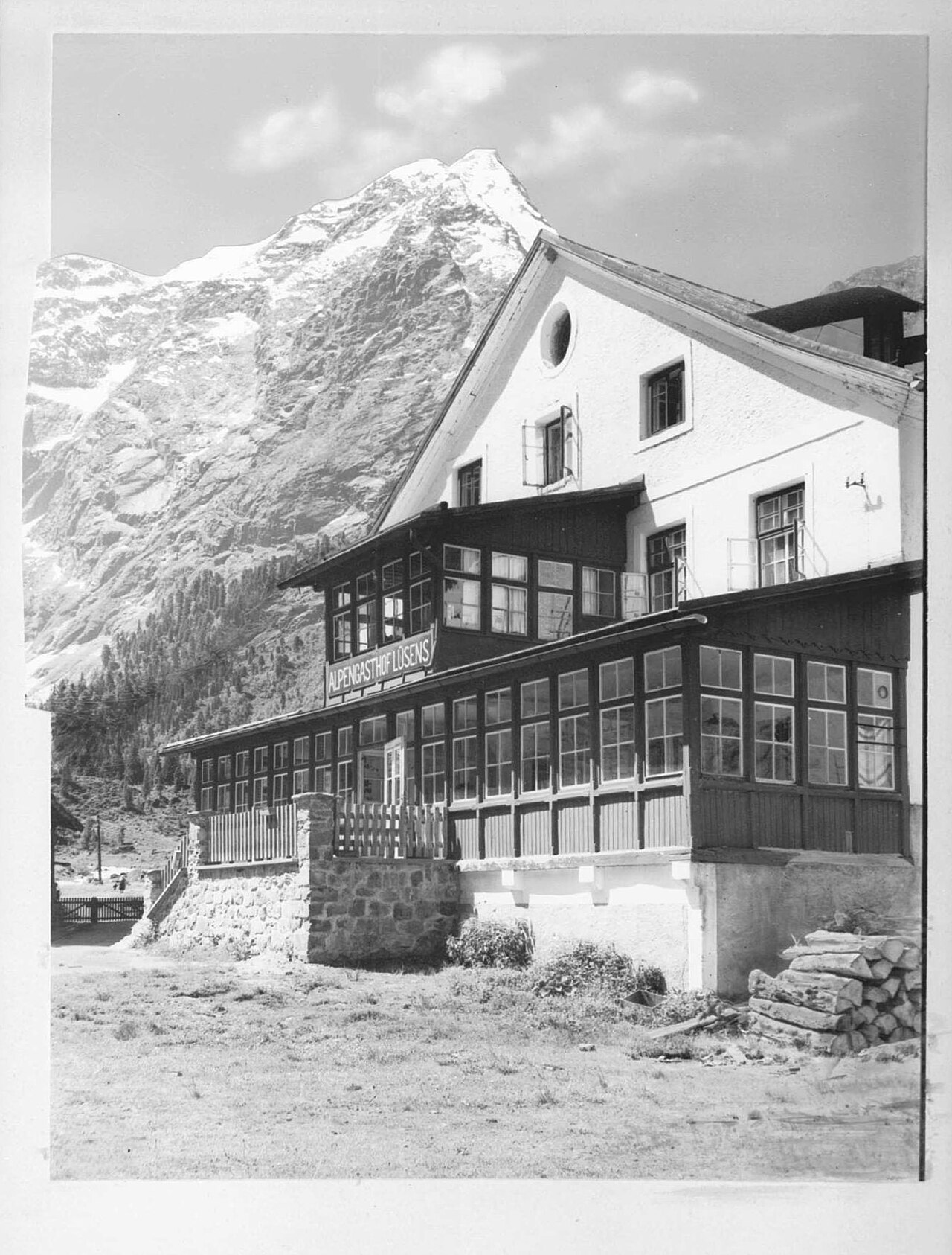
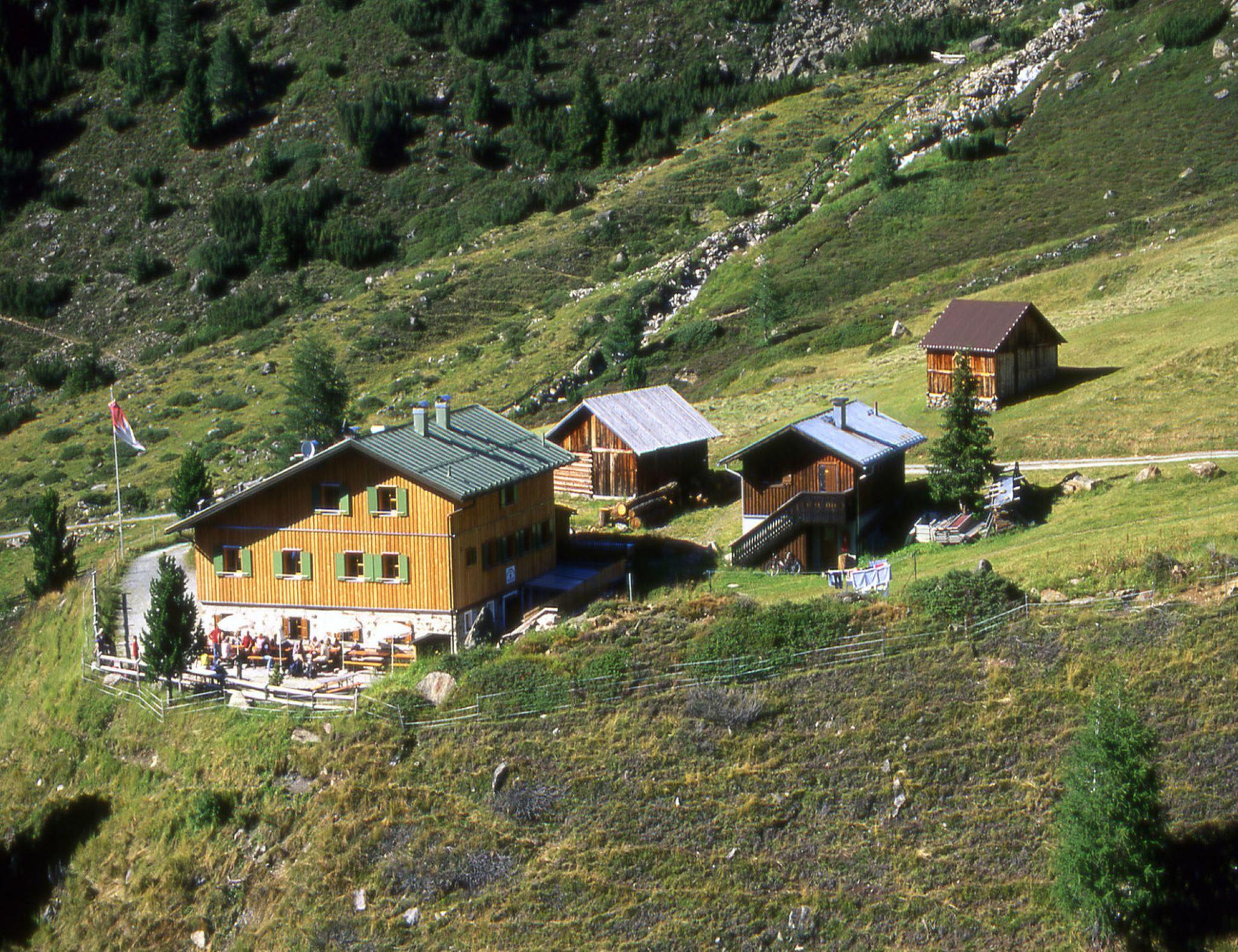
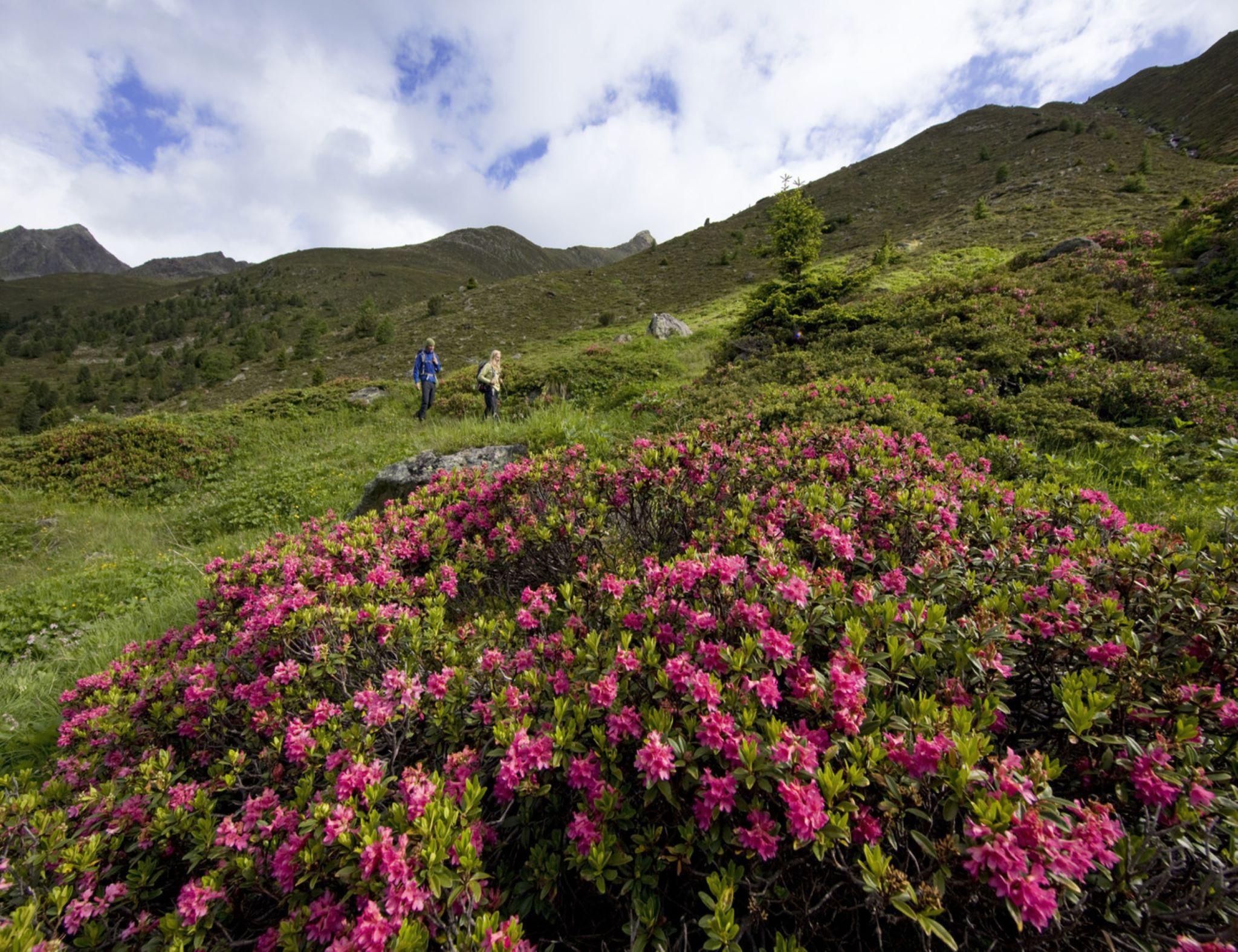
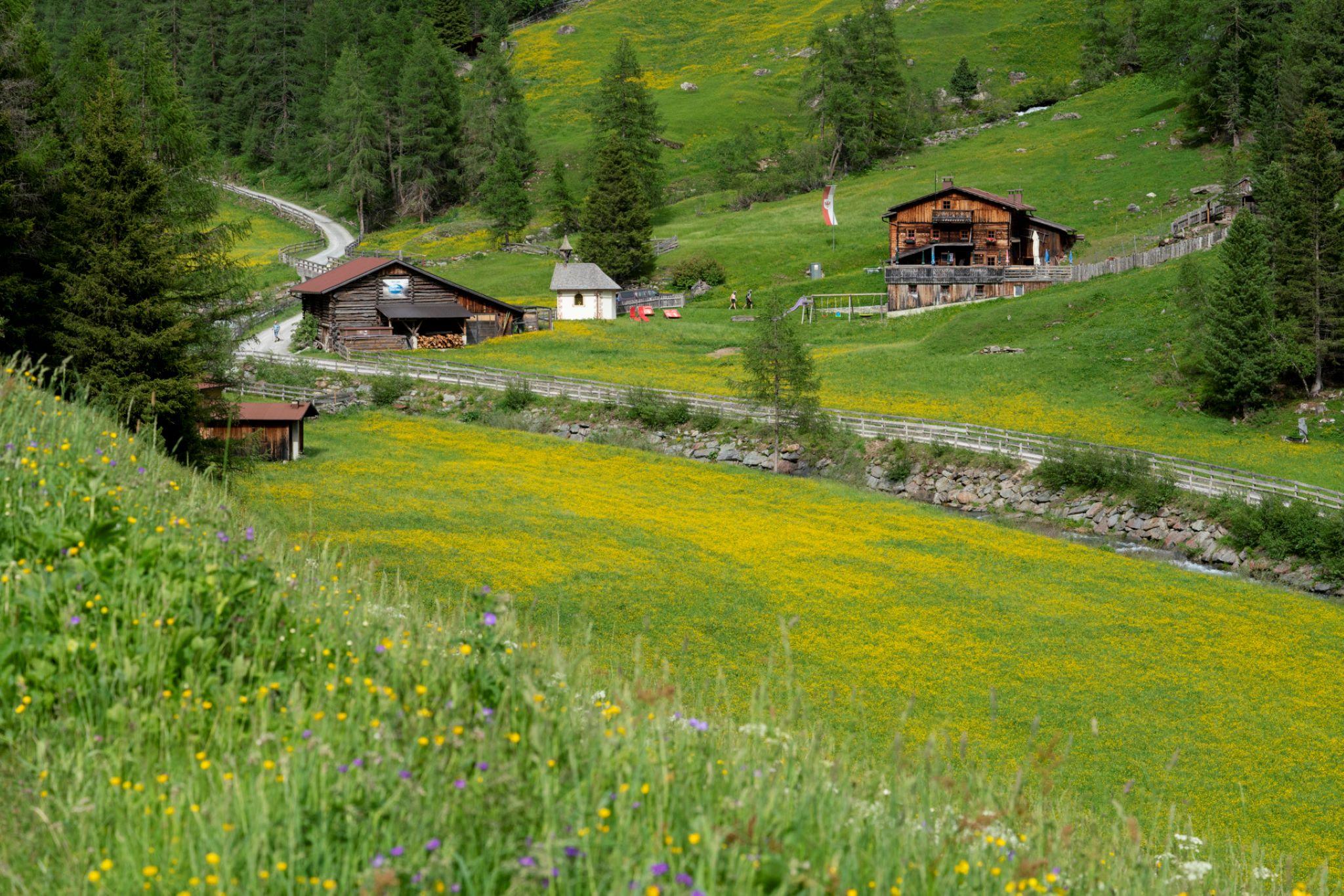
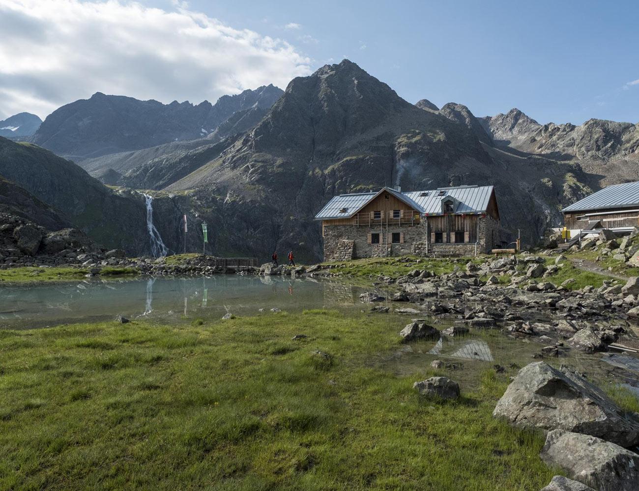
 Cable car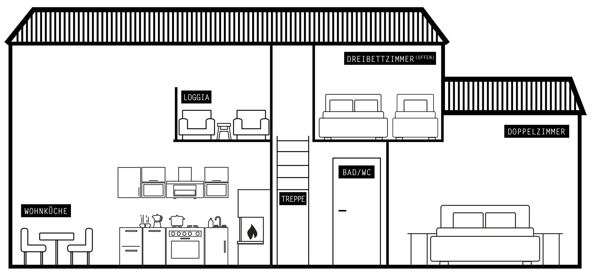
 Historic site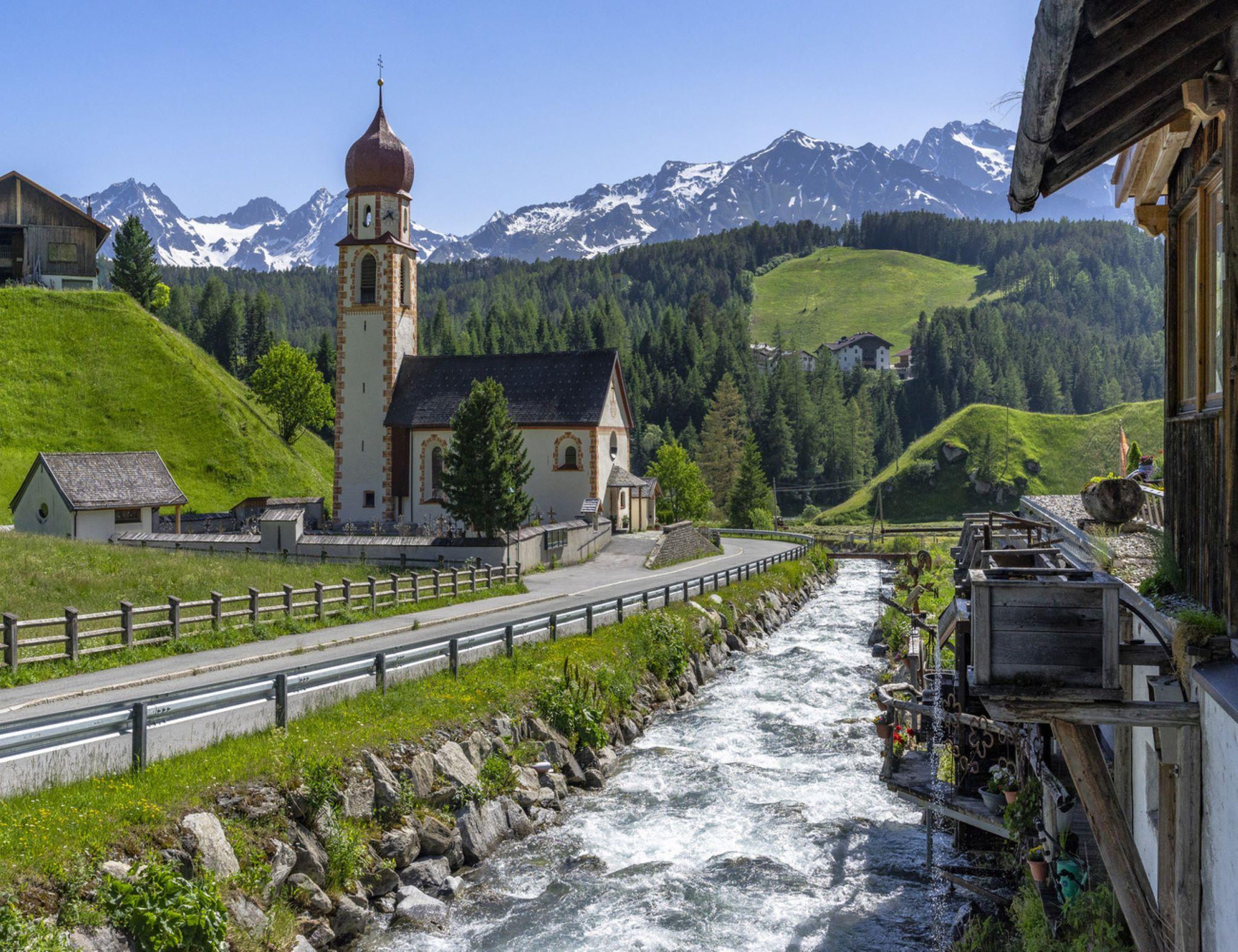


















Curated by Innsbruck Tourismus
St. Sigmund im Sellrain
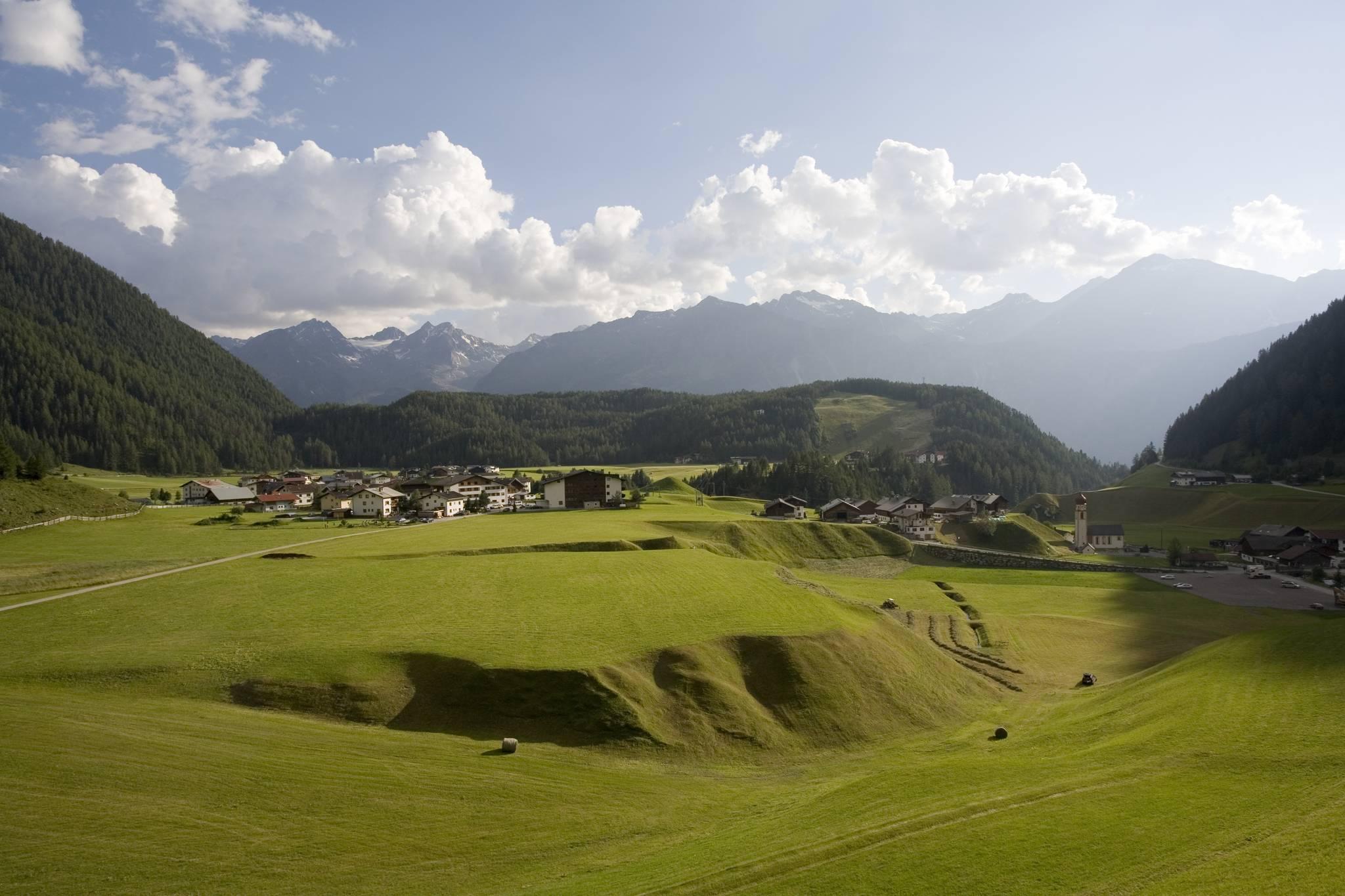
One of Tirol's smallest municipalities, 185 people at the head of the Sellraintal, with the stone-pine forest above Praxmar at 1700 m.
- 4Highlights
- 43Routes
- Featured summit · Lampsenspitze
Highlights
11 from neighbouring places
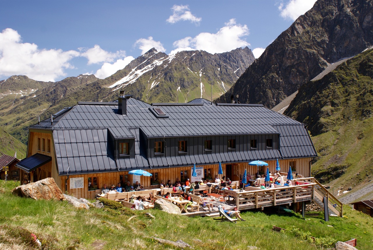
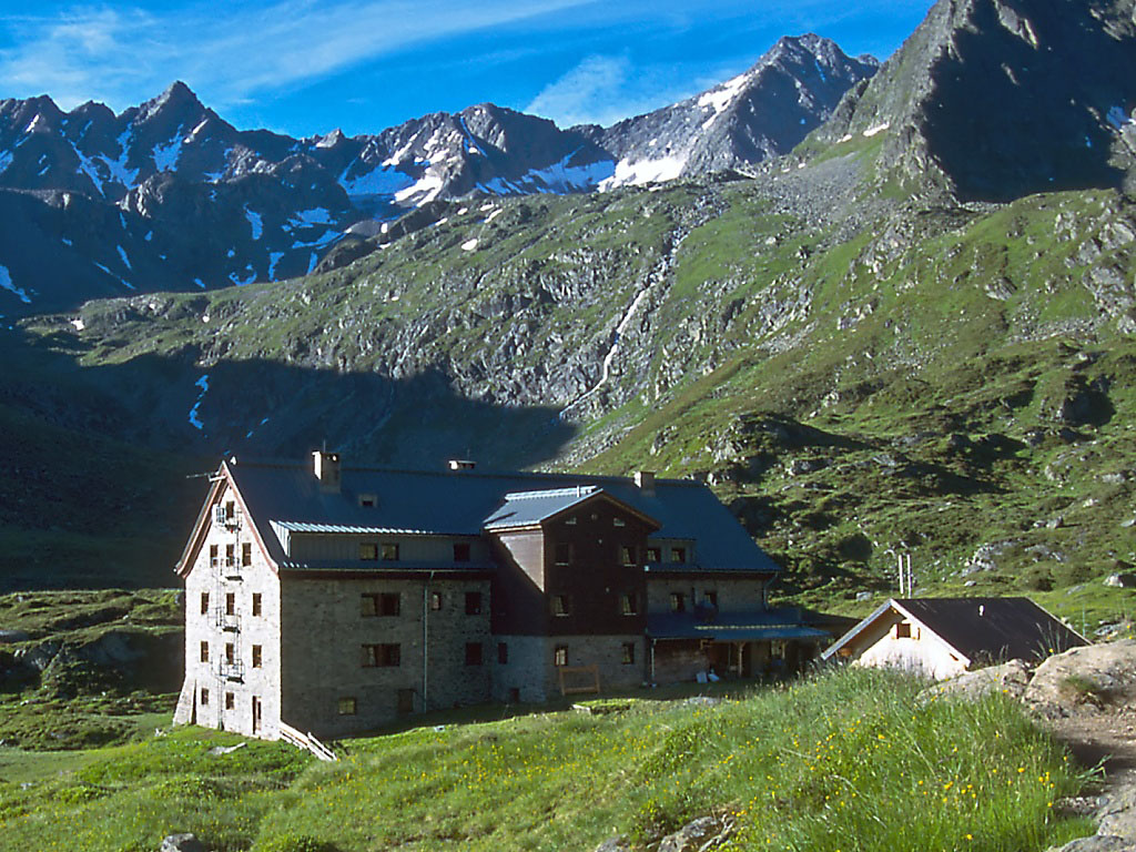
Westfalenhaus
A high mountain hut above St. Sigmund im Sellrain, a base for summit tours and crossings in the northern Stubai Alps.
Alpengasthof Lüsens
An alpine inn at Lüsens in the innermost Sellrain valley above St. Sigmund, a traditional base for walks and ski tours toward the Lüsener Fernerkogel.
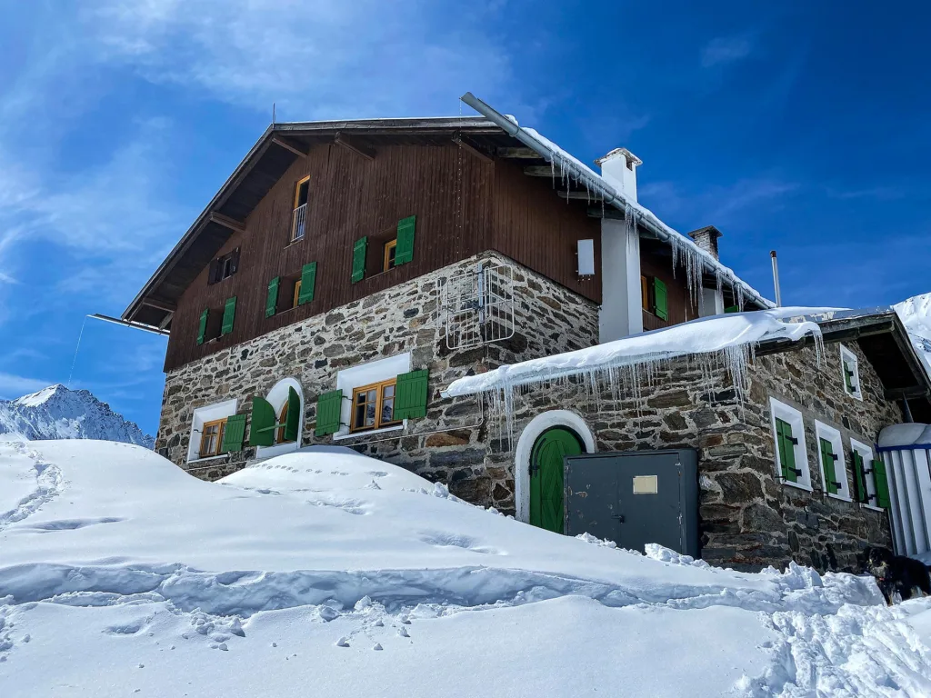
Pforzheimer Hütte
An Alpine Club hut in the Gleirsch valley above St. Sigmund im Sellrain, a base for summit tours and ski touring in the Stubai Alps.
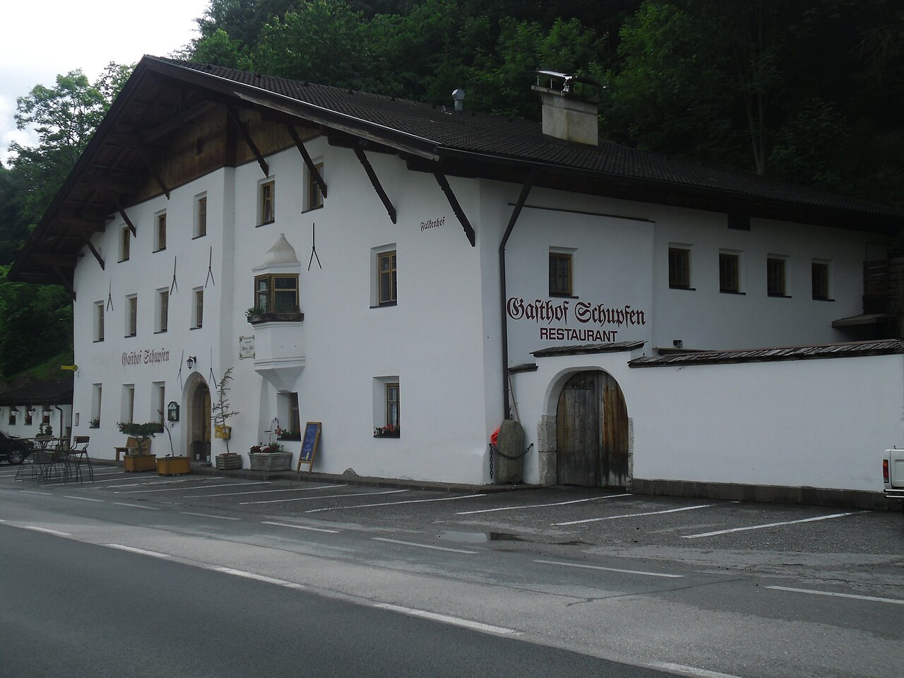
Gasthof Ruetz
A traditional inn at St. Sigmund im Sellrain, a refreshment and overnight stop for walkers and ski tourers in the Sellrain valley.
Schweinfurter Hütte
6.2 km away, in Umhausen
An Alpine Club hut in the Horlachtal, used in summer for peaks and traverses and in winter for ski touring and snowshoeing.
Kleinhorlachalm
6.8 km away, in Umhausen
An alpine pasture in the Horlachtal below the Schweinfurter Hütte, reached by forest road along the Horlachbach from Niederthai.
Larstigalm
7.6 km away, in Umhausen
An alpine pasture at 1,777 m in the Horlachtal, reached from the Sennhof car park at Niederthai.
Winnebachseehütte
7.8 km away, in Längenfeld
An Alpine Club hut at 2,361 m in the Winnebach valley, two hours from Gries, with 6 beds, 22 mattress places and winter rooms.
Franz-Senn-Hütte
8.8 km away, in Neustift im Stubaital
A large Alpine Club hut at 2,147 m in the Oberbergtal above Neustift, a stage on the Stubai High Trail and a base for glacier tours and climbing courses.
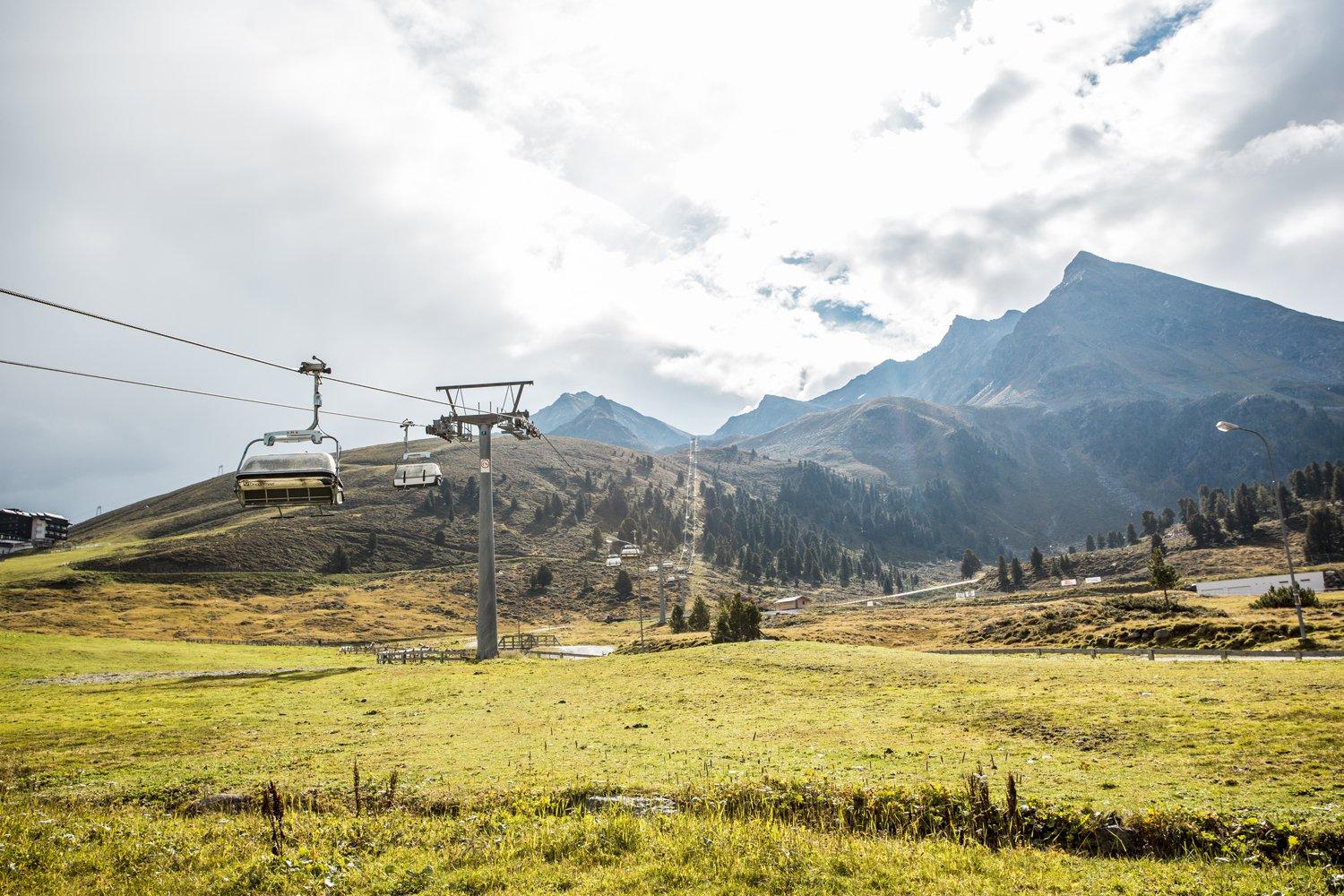
Drei-Seen-Bahn
9.4 km away, in Silz
A four-seat chairlift at Kühtai with weather hoods and bike carriers, serving the three-lakes walk and a large high-alpine playground.
Ausserwieserhof Kaser
9.7 km away, in Neustift im Stubaital
A rustic hut, or Kaser, belonging to the Ausserwieserhof farm above Neustift, rented out as a simple mountain retreat.
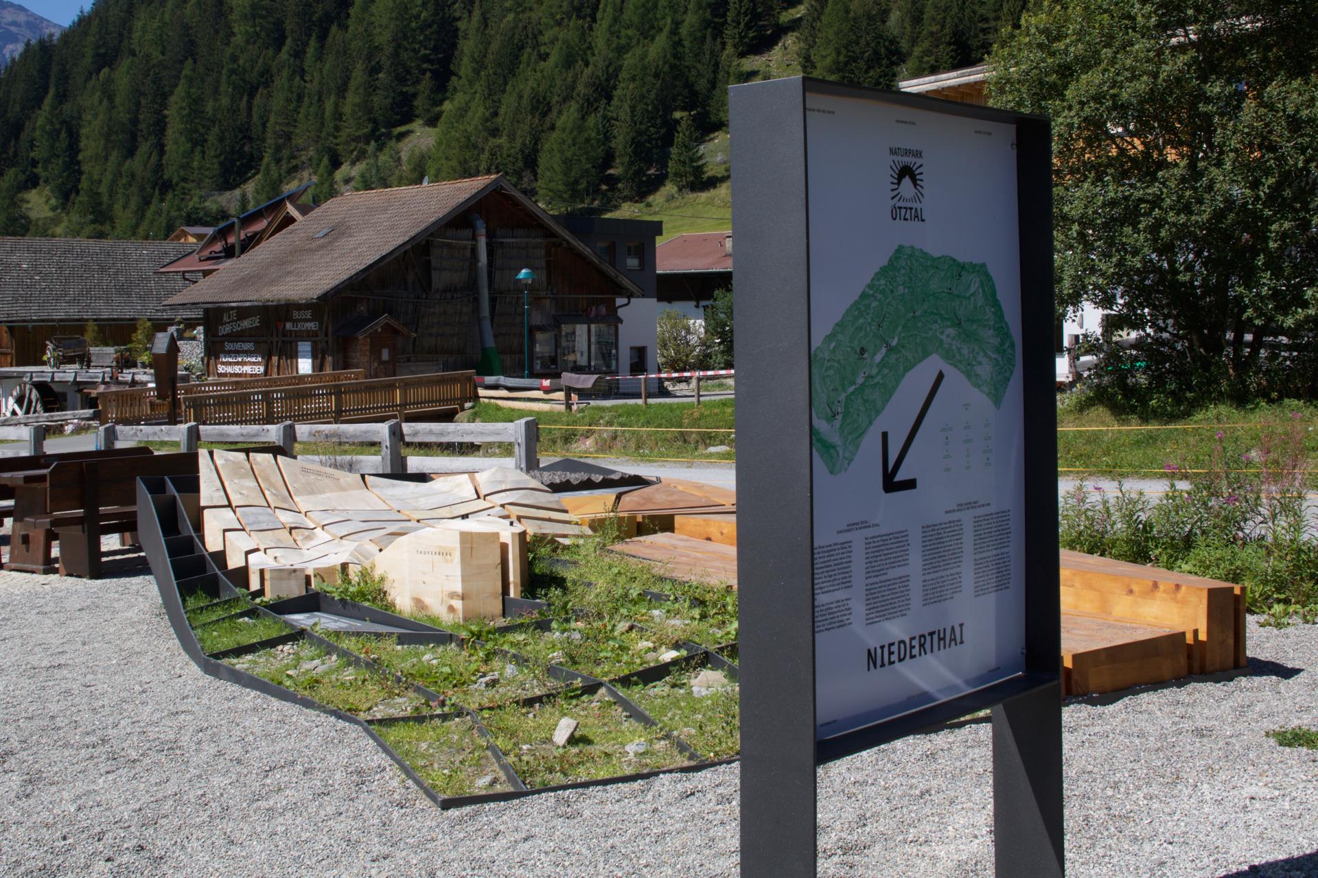
Naturpark Ötztal - Infopoint Niederthai | Riesiger Bergsturz und seine Folgen
10.4 km away, in Umhausen
An outdoor bronze landscape model at the Sennhof car park in Niederthai, explaining the Köfels rockslide — the largest in crystalline rock in the Alps.
Wanderdorf Niederthai
10.4 km away, in Umhausen
A quiet village on a sunny plateau at about 1,550 m, with walking routes starting at the door, including the Horlachbach path.
Pfarrkirche Hl. Antonius in Niederthai
10.5 km away, in Umhausen
A small Baroque church consecrated in 1698 and dedicated to St Anthony of Padua, with unusually rich stucco work for a mountain church.
Naturpark Ötztal - Infopoint Gries | Wildes Wasser
10.5 km away, in Längenfeld
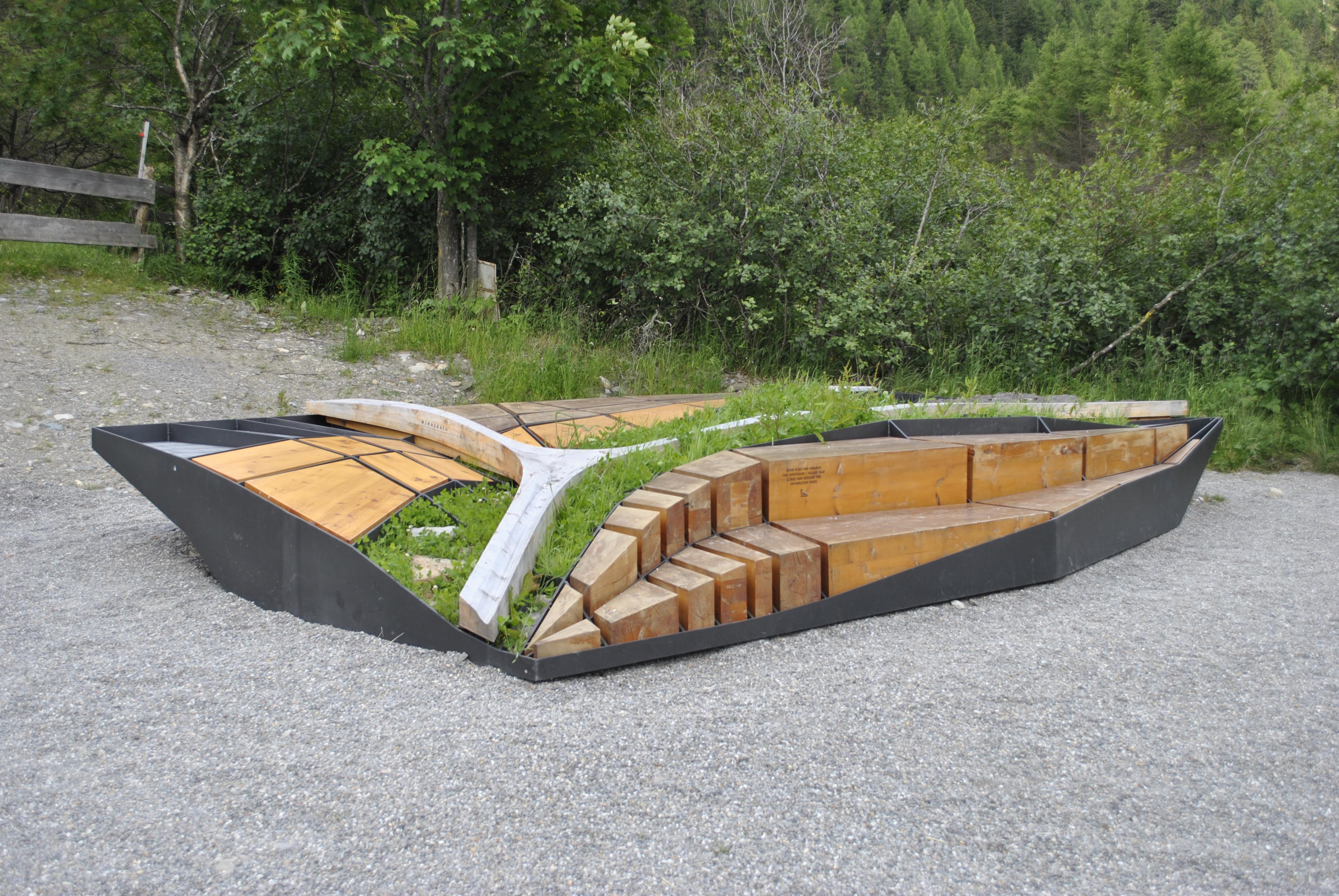
A 6 by 4 m outdoor installation at the edge of Gries, explaining how the Fischbach and Winnebach cut and shaped the valley down to Längenfeld.
Nothing of this kind in St. Sigmund im Sellrain.
Routes
Klettersteig Kühtaier Panorama
A short, sporty via ferrata on the Pockkogel above Kühtai — mostly around grade C with steep, partly overhanging passages up to D/E that demand real arm strength.
- 124 m
- Distance
- 14 m
- Ascent
- 6 min
- Duration
- 3
- Check-ins
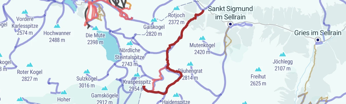
Kühtai Panorama Klettersteig
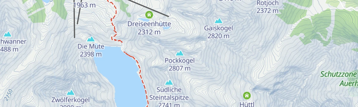
Short via ferrata above Kühtai reached with the Drei-Seen-Bahn, climbing from the scree below the Gaiskogelscharte; the descent passes the Finstertal reservoir and the Drei-Seen-Hütte.
- 767 m
- Distance
- 287 m
- Ascent
- 1 h 52 min
- Duration
Natur- und Gletscherlehrpfad
Educational loop at Lüsens in the Sellrain mountains where panels explain how glaciers shaped the valley; passes the Lüsener Alm and the Alpengasthof Lüsens.
- 4.5 km
- Distance
- 139 m
- Ascent
- 1 h 24 min
- Duration
- 9
- Check-ins
Sellrainer Hüttenrunde: 4. Etappe
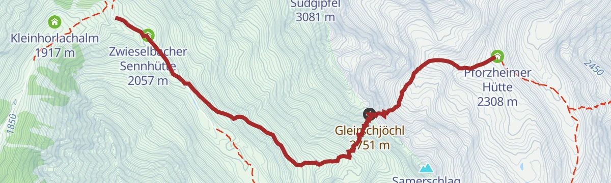
Fourth stage of the Sellrainer Hüttenrunde: from the Pforzheimer Hütte over the Gleirschjöchl and down the Zwieselbach side to the Schweinfurter Hütte.
- 5.9 km
- Distance
- 459 m
- Ascent
- 2 h 58 min
- Duration
- 19
- Check-ins
Sellrainer Hüttenrunde: 7. Etappe
Closing stage of the Sellrain hut round, coming down from the high country into Kühtai past the Dortmunder Hütte and on down the valley - nearly 25 km of trail.
- 24.7 km
- Distance
- 973 m
- Ascent
- 8 h 12 min
- Duration
- 64
- Check-ins
Skitour Westfalenhaus
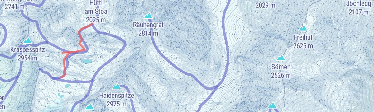
Sheltered ski tour from Lüsens in the Sellrain, following the Längental past the Längentaleralm up to the Westfalenhaus at the head of the valley.
- 5.3 km
- Distance
- 646 m
- Ascent
- 646 m
- Descent
- 2 h 20 min
- Duration
- 12
- Check-ins
Tourenlehrpfad Lampsenspitze
Signed ski-touring instruction route from Praxmar over the Satteljoch to the Lampsenspitze, a steep 1,180 m ascent used to practice safe route-finding.
- 3.7 km
- Distance
- 1 180 m
- Ascent
- 1 180 m
- Descent
- 3 h 32 min
- Duration
- 21
- Check-ins
Von Innsbruck nach Kühtai
A long road ride out of the Inn valley, climbing to the saddle at 2,017 m with the Dortmunder Hütte just below it.
- 106.6 km
- Distance
- 1 930 m
- Ascent
- 11 h 16 min
- Duration
- 86
- Check-ins
Rundweg St. Sigmund - Haggen (2)
Easy valley loop between St. Sigmund and Haggen in the Sellraintal, passing the Jausenstation Schärmeralm and the Gasthaus Sonnenalm.
- 5.9 km
- Distance
- 206 m
- Ascent
- 1 h 53 min
- Duration
- 5
- Check-ins
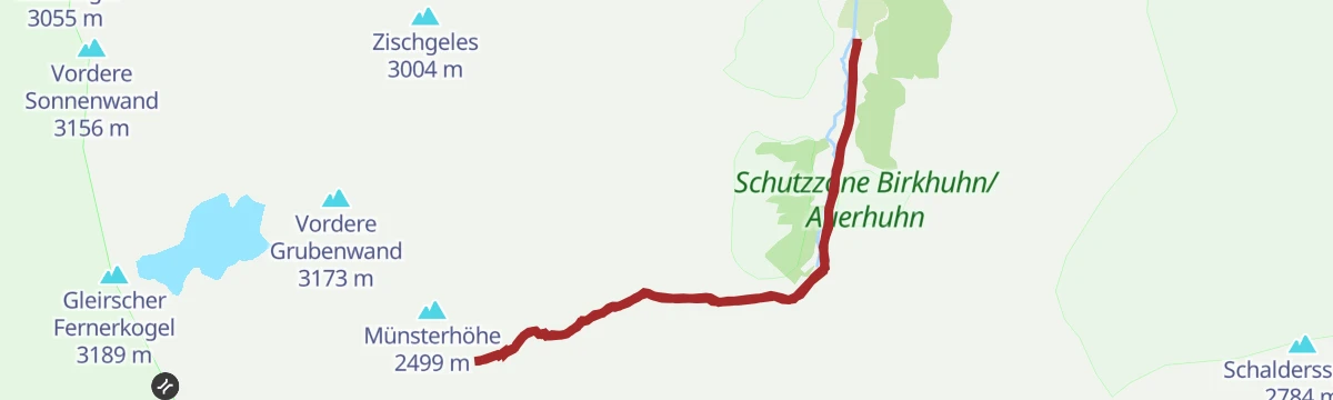
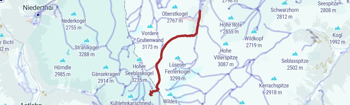
Sellrainer Hüttenrunde: 3. Etappe
Third stage of the Sellrainer Hüttenrunde, crossing from the Westfalenhaus over the Zischgenscharte and the Münsterhöhe to the Pforzheimer Hütte.
- 6.9 km
- Distance
- 770 m
- Ascent
- 4 h 39 min
- Duration
- 14
- Check-ins
Haggen - Steintalsattel - Kühtai (44)
Crossing from Haggen over the Steintalsattel to Kühtai, dropping past the Finstertal dam into the resort; a rugged Sellrain-to-Kühtai traverse.
- 10.1 km
- Distance
- 1 065 m
- Ascent
- 6 h 29 min
- Duration
- 38
- Check-ins
Skitouren Pforzheimer Hütte
Ski approach through the Gleirschtal from St. Sigmund, passing the Gleirschalm to the Pforzheimer Hütte - a gateway to a cluster of Sellrain touring summits.
- 7.2 km
- Distance
- 794 m
- Ascent
- 794 m
- Descent
- 2 h 57 min
- Duration
- 9
- Check-ins
Lampsenspitze
Classic Sellrain ski tour from Praxmar to the Lampsenspitze, a steady skin of nearly 1,200 m up mostly moderate slopes with a wide summit view.
- 4.6 km
- Distance
- 1 164 m
- Ascent
- 1 164 m
- Descent
- 3 h 36 min
- Duration
- 15
- Check-ins
Innsbruck - Lüsens
A long out-and-back from the Inn valley up the Sellraintal, past the Kaiser Ferdinand waterfalls to the Lüsener Alm at 1,631 m.
- 74.5 km
- Distance
- 1 654 m
- Ascent
- 8 h 10 min
- Duration
- 9
- Check-ins
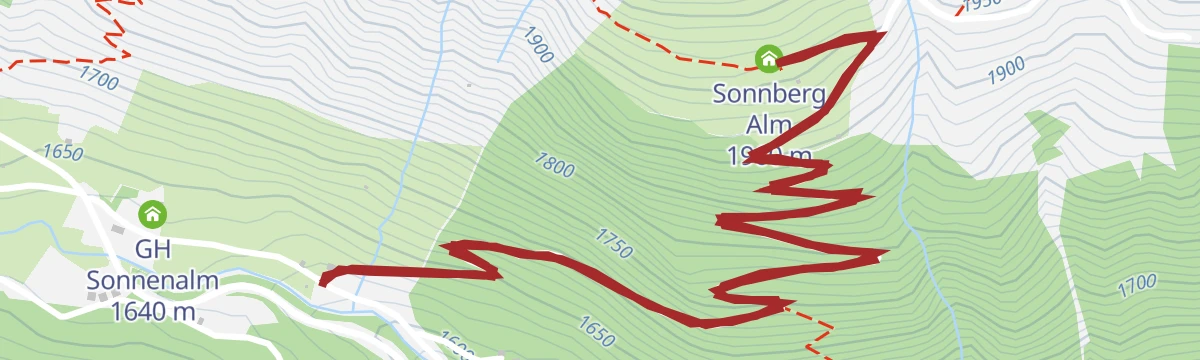
WunderWanderWeg Sonnbergalm
Family discovery trail up to the Sonnberg Alm in the Sellraintal, where themed stations turn the steady climb into a children's adventure walk.
- 4.7 km
- Distance
- 349 m
- Ascent
- 2 h 17 min
- Duration
- 1
- Check-ins
Sellraintaler Höhenwanderweg
High traverse along the Sellrain's sunny side from the Roßkogelhütte over the Krimpenbachsattel to the Sonnberg Alm, holding altitude between huts for 15 km.
- 14.2 km
- Distance
- 900 m
- Ascent
- 6 h 9 min
- Duration
- 12
- Check-ins
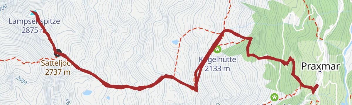
Praxmar - Lampsenspitze (144/144a)
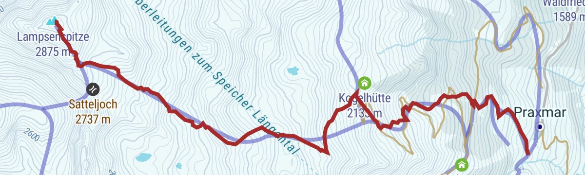
Summer ascent of the Lampsenspitze from Praxmar over the Satteljoch, passing the Kogelhütte low on the route; a sustained climb of nearly 1,200 m.
- 9.4 km
- Distance
- 1 179 m
- Ascent
- 6 h 58 min
- Duration
- 25
- Check-ins
Gaiskogel
Short ski tour above the Kühtai ski area, finishing through the scharte just below the summit — a compact objective for a spare half-day.
- 1.6 km
- Distance
- 408 m
- Ascent
- 408 m
- Descent
- 1 h 16 min
- Duration
- 6
- Check-ins
Zwieselbacher Rosskogel ab Haggen
Big ski tour from Haggen in the Sellraintal to the Zwieselbacher Rosskogel, over 1,400 m of skinning to a double summit at the valley head.
- 8.0 km
- Distance
- 1 424 m
- Ascent
- 1 424 m
- Descent
- 4 h 42 min
- Duration
- 11
- Check-ins
Haggen - Zu-/Abstieg Sellraintaler Höhenwanderweg
Short, sharp connector from Haggen up to the Sellraintaler Höhenwanderweg, gaining over 300 m in barely 1.5 km to reach the high trail.
- 1.4 km
- Distance
- 314 m
- Ascent
- 1 h 44 min
- Duration
Lüsens - Westfalenhaus (34/141)
Hut approach from the Alpengasthof Lüsens up the Längental to the Westfalenhaus, a steady climb into glacier-carved Stubai Alps backcountry.
- 8.9 km
- Distance
- 702 m
- Ascent
- 4 h 32 min
- Duration
- 10
- Check-ins
Sellrainer Hüttenrunde: 2. Etappe
Second stage of the Sellrainer Hüttenrunde from the Potsdamer Hütte over the Roter Kogel down to Lüsens and up the Längental to the Westfalenhaus; a long, committing day.
- 15.9 km
- Distance
- 1 490 m
- Ascent
- 9 h 17 min
- Duration
- 21
- Check-ins
Südlichste Sonnenwand
Ski tour in the Gleirschtal above St. Sigmund to the Südlichste Sonnenwand, with the Pforzheimer Hütte on the route; a moderate 770 m climb.
- 4.8 km
- Distance
- 767 m
- Ascent
- 767 m
- Descent
- 2 h 36 min
- Duration
- 5
- Check-ins
Samerschlag
Long Sellrain ski tour through the Gleirschtal past the Pforzheimer Hütte, finishing on a high summit above the hut basin after almost 1,300 m of climbing.
- 8.8 km
- Distance
- 1 287 m
- Ascent
- 1 287 m
- Descent
- 4 h 26 min
- Duration
- 10
- Check-ins
Lüsens - Westfalenhaus
Approach from the Alpengasthof Lüsens past the Längentaleralm to the Westfalenhaus, climbing steadily through the Längental to the hut.
- 10.1 km
- Distance
- 643 m
- Ascent
- 4 h 23 min
- Duration
- 9
- Check-ins
St. Sigmund - Zwieselbacher Rosskogel
Marathon summer round from St. Sigmund through the Gleirschtal past the Pforzheimer Hütte to the Zwieselbacher Rosskogel, more than 20 km with over 1,500 m of climbing.
- 20.6 km
- Distance
- 1 556 m
- Ascent
- 10 h 10 min
- Duration
- 14
- Check-ins
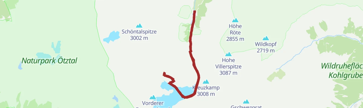
Schöntalspitze
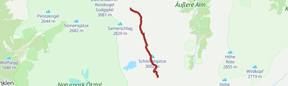
Ski tour from the Alpengasthof Lüsens to the Schöntalspitze, climbing about 1,350 m to a summit just above the 3,000 m mark.
- 5.3 km
- Distance
- 1 351 m
- Ascent
- 1 351 m
- Descent
- 4 h 10 min
- Duration
- 10
- Check-ins
St. Sigmund - Pforzheimer Hütte (145)
Long, gradual hut walk from St. Sigmund through the Gleirschtal past the Gleirschalm to the Pforzheimer Hütte at the valley head.
- 14.1 km
- Distance
- 786 m
- Ascent
- 5 h 34 min
- Duration
- 9
- Check-ins
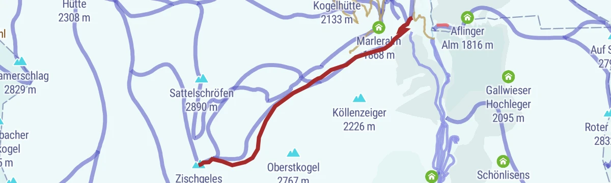
Praxmar - Zischgeles (31)
Ascent of the Zischgeles from Praxmar past the Marleralm, a sustained climb to one of the Sellrain's best-known summits at just over 3,000 m.
- 10.3 km
- Distance
- 1 277 m
- Ascent
- 7 h 34 min
- Duration
- 10
- Check-ins
Längentaler Weißerkogel
Long ski tour from Lüsens up the Längental to the Längentaler Weißer Kogel, passing the Michael-Riml-Pyramide near the top; over 1,500 m of ascent.
- 10.0 km
- Distance
- 1 563 m
- Ascent
- 1 563 m
- Descent
- 5 h 18 min
- Duration
- 9
- Check-ins
Praxmar - Westfalenhaus (33)
Approach to the Westfalenhaus starting in Praxmar, joining the Längental above Lüsens for the final climb to the hut.
- 13.6 km
- Distance
- 865 m
- Ascent
- 5 h 54 min
- Duration
- 6
- Check-ins
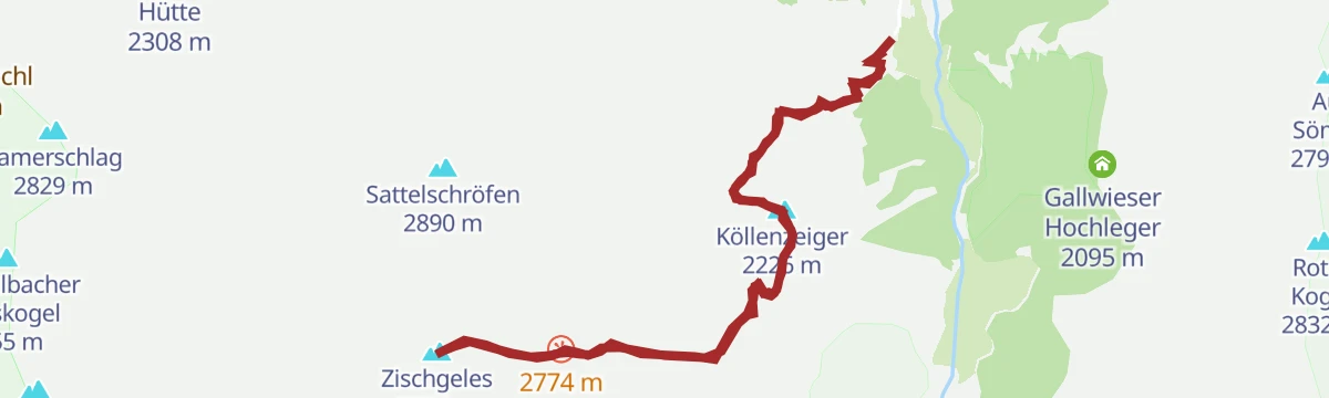
Praxmar - Zischgeles (32)
Ridge-line variant from Praxmar that collects the Köllenzeiger and the Dreizeiger before finishing on the Zischgeles, a demanding three-summit day.
- 11.2 km
- Distance
- 1 314 m
- Ascent
- 7 h 52 min
- Duration
- 10
- Check-ins
Steintalspitzen
Ski tour from Haggen into the Steintal to the Nördliche Steintalspitze, a steep-sided Sellrain objective with just over 1,000 m of skinning.
- 5.5 km
- Distance
- 1 068 m
- Ascent
- 1 068 m
- Descent
- 3 h 27 min
- Duration
- 7
- Check-ins
Praxmar - Köllenzaiger (32)
Half-day hike from Praxmar up open slopes to the Köllenzaiger, a moderate climb to a viewpoint high above the Lüsens valley.
- 4.7 km
- Distance
- 482 m
- Ascent
- 2 h 57 min
- Duration
Lüsener Fernerkogel Wanderung
Very long alpine hike from Lüsens over the Rinnennieder to the Lüsener Fernerkogel, one of the Sellrain's dominant peaks; 1,800 m of ascent demands an early start.
- 16.9 km
- Distance
- 1 837 m
- Ascent
- 11 h 8 min
- Duration
- 7
- Check-ins
Weitkarspitze
Ski tour from Haggen to the Weitkarspitze, climbing about 1,250 m through the quiet cirques above the Sellraintal.
- 7.1 km
- Distance
- 1 253 m
- Ascent
- 1 253 m
- Descent
- 4 h 8 min
- Duration
- 6
- Check-ins
Praxmar - Freihut - St. Sigmund(30)
Demanding summit round from Praxmar over the Freihut and Kleine Freihut, descending past the Apothekerhütte to St. Sigmund in the Sellrain.
- 9.5 km
- Distance
- 959 m
- Ascent
- 5 h 53 min
- Duration
Zischgeles
Steep spring ski tour from Praxmar directly to the Zischgeles, gaining over 1,300 m in just 4 km; a Sellrain classic in firn conditions.
- 4.0 km
- Distance
- 1 325 m
- Ascent
- 1 325 m
- Descent
- 3 h 57 min
- Duration
- 6
- Check-ins
Gleirscher Fernerkogel
Ski tour continuing above the Pforzheimer Hütte in the Gleirschtal to the Gleirscher Fernerkogel, often paired with an overnight at the hut.
- 5.6 km
- Distance
- 938 m
- Ascent
- 938 m
- Descent
- 3 h 8 min
- Duration
- 5
- Check-ins
Lüsener Fernerkogel
Serious ski-mountaineering day from Lüsens to the Lüsener Fernerkogel, climbing about 1,650 m past the Kasermandlhütte toward the glaciated summit.
- 8.3 km
- Distance
- 1 649 m
- Ascent
- 1 649 m
- Descent
- 5 h 19 min
- Duration
- 4
- Check-ins
Hoher Seeblaskogel
Long ski tour from Lüsens through the Längental to the Hoher Seeblaskogel, more than 1,500 m of ascent into remote Stubai Alps terrain.
- 9.5 km
- Distance
- 1 571 m
- Ascent
- 1 571 m
- Descent
- 5 h 16 min
- Duration
- 3
- Check-ins
Roter Kogel von Moos
Direct ski tour from Moos in the Sellraintal past the Aflinger Alm to the Roter Kogel, packing over 1,200 m of climbing into 4 km.
- 4.3 km
- Distance
- 1 221 m
- Ascent
- 1 221 m
- Descent
- 3 h 43 min
- Duration
- 3
- Check-ins
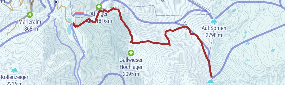
Sömen von Moos
Steep ski tour from Moos near Gries im Sellrain, gaining almost 1,200 m past the Aflinger Alm to the Sömen summit slopes — one for settled snow and strong legs.
- 3.6 km
- Distance
- 1 176 m
- Ascent
- 1 176 m
- Descent
- 3 h 30 min
- Duration
No routes of this kind in St. Sigmund im Sellrain yet.
The region's own picks
Featured route
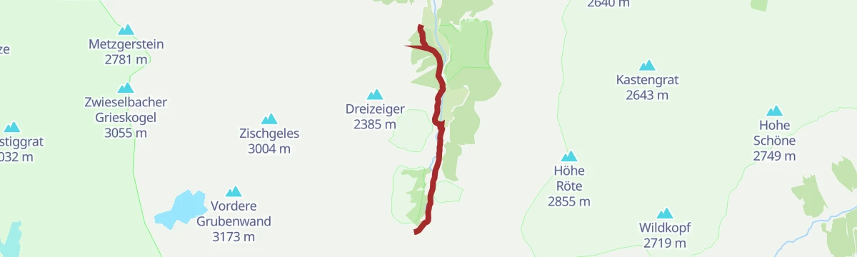
Natur- und Gletscherlehrpfad
Educational loop at Lüsens in the Sellrain mountains where panels explain how glaciers shaped the valley; passes the Lüsener Alm and the Alpengasthof Lüsens.
Planning a trip to St. Sigmund im Sellrain?
Everything else Tyrol has, in one place


Take St. Sigmund im Sellrain with you into the mountains
Every route on this page with 3D terrain, GPX navigation and offline maps — including the valleys with no signal.
Data sources
- Official website: innsbruck.info ↗
- Routes and highlights: Innsbruck Tourismus, Ötztal Tourismus, Tourismusverband Stubai Tirol
- Published as open data by the tourist boards named above.
- Region summary generated from the board's own material.
