
Curated by Kitzbüheler Alpen Tourismus
St. Jakob in Haus
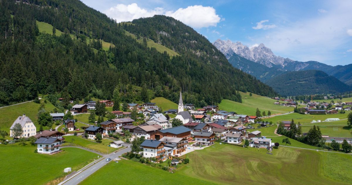
The Kitzbühel district's smallest municipality, on a sunny saddle at 833 m in the Pillerseetal with the Familienland amusement park.
Photo: Badener licence
- 1Highlights
- 18Routes
- Featured summit · Kirchberg
Highlights
14 from neighbouring places
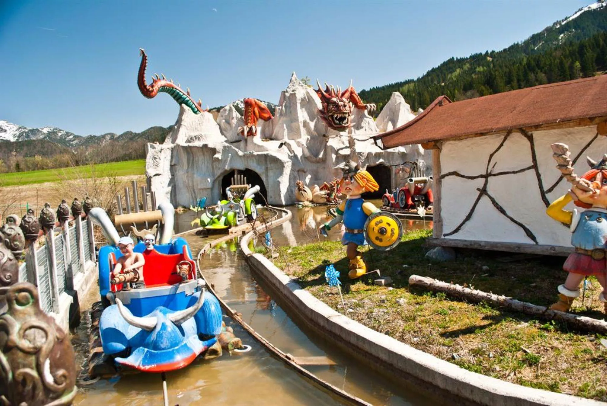
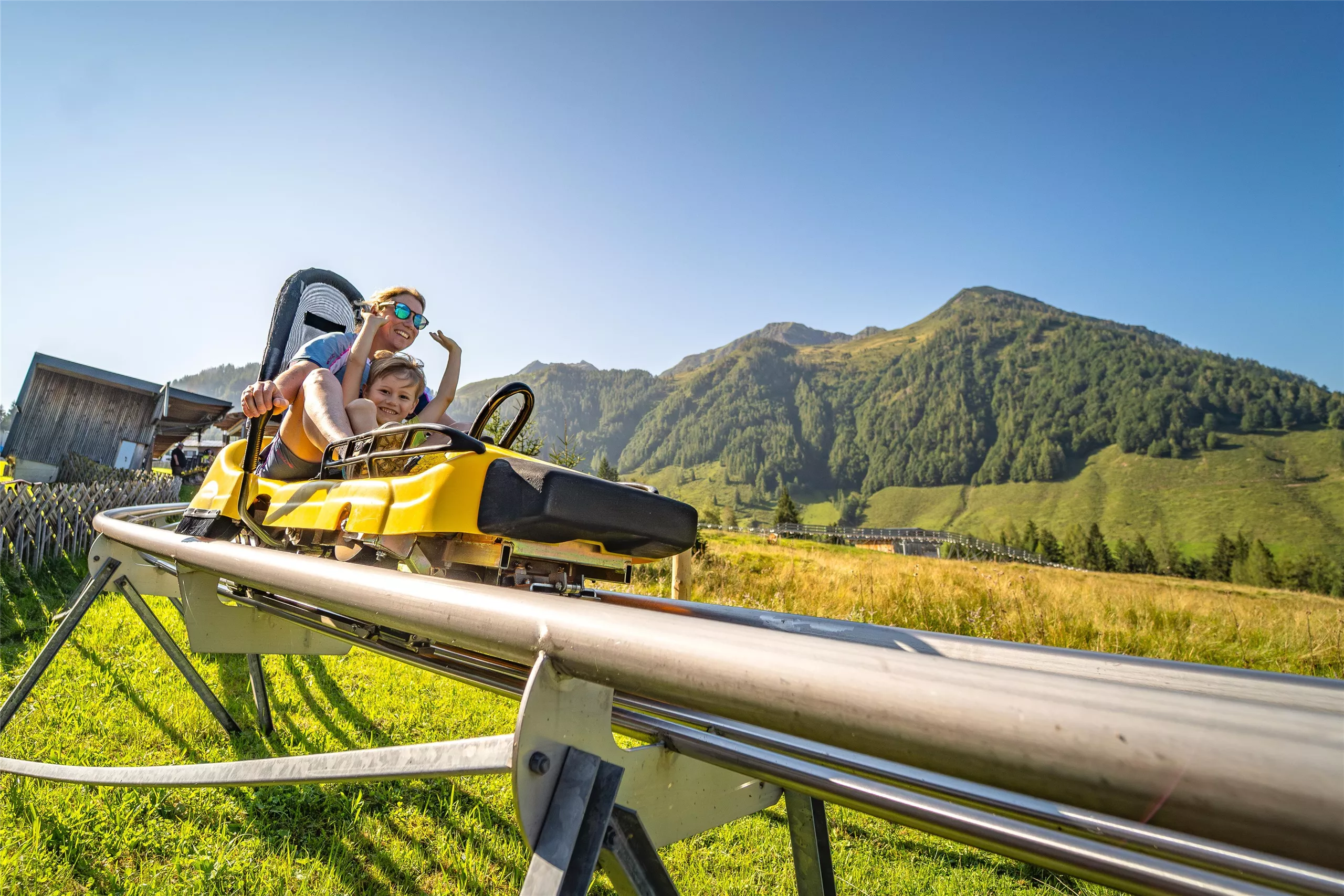
Erlebnispark Familienland Pillersee
A family amusement park at St. Jakob in Haus in the Pillerseetal, with rides, water features and play areas near the Pillersee.
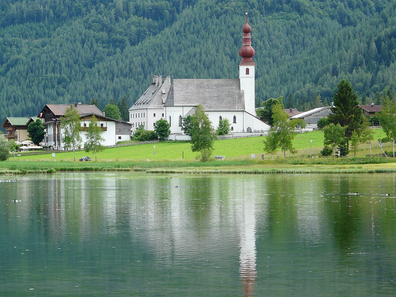
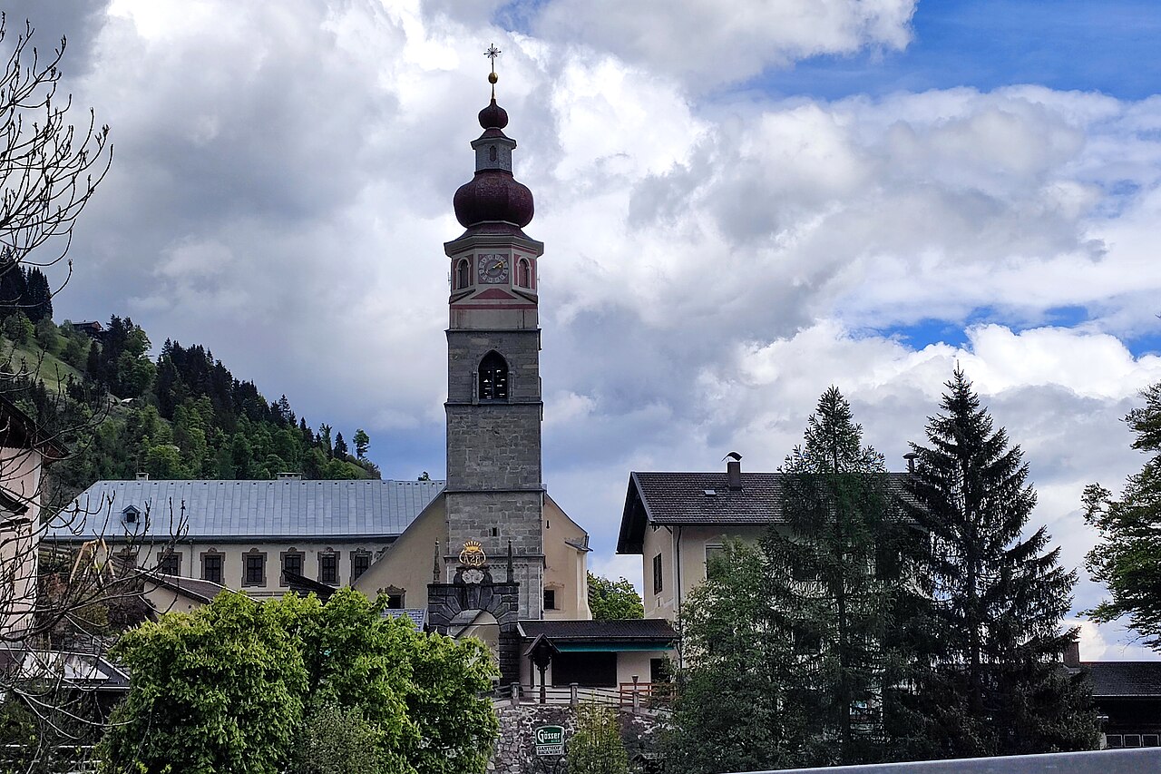
Pfarrkirche St. Ulrich am Pillersee
3 km away, in St. Ulrich am Pillersee
The parish church of St. Ulrich am Pillersee, a village church of medieval origin standing near the lake that names the place.
Kinderspielplatz | Kindergarten Fieberbrunn
3.3 km away, in Fieberbrunn
A playground at the kindergarten in Fieberbrunn, also usable as a play area for visiting families.
MEC Modelleisenbahnclub Fieberbrunn
3.4 km away, in Fieberbrunn
A model railway club in Fieberbrunn whose members show detailed layouts to visitors in the Pillerseetal village.
Bergbahnen Fieberbrunn
4.1 km away, in Fieberbrunn
The lift company serving Fieberbrunn in the Pillerseetal, whose gondolas connect the village to the Saalbach-Hinterglemm ski circuit and to summer walking terrain.
Kinderspielplatz | Pfaffenschwendt
4.4 km away, in Fieberbrunn
A children's playground serving the Pfaffenschwendt hamlet of Fieberbrunn in the Pillersee region.
Funball
5.1 km away, in St. Ulrich am Pillersee
A water-play station at the bathing lake in St. Ulrich am Pillersee, with water balls and paddle sports on offer in summer.
Teufelsklamm
6 km away, in St. Ulrich am Pillersee
A small gorge near St. Ulrich am Pillersee whose name means devil's gorge, explored on a short path through the rocky defile.
Pfarrkirche Maria Schnee
5.7 km away, in Hochfilzen
The parish church of Hochfilzen in the Pillersee region, dedicated to Our Lady of the Snows, a fitting patron for a village at 959 m.
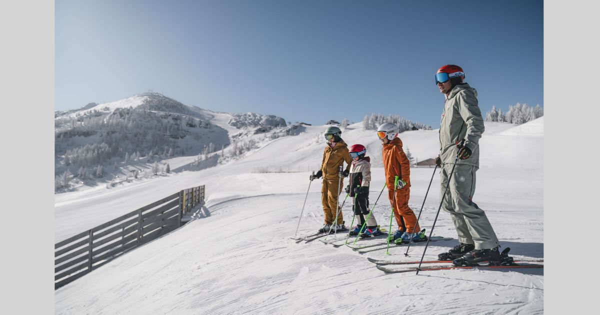
Bergbahnen Steinplatte
9.3 km away, in Waidring
The lifts from Waidring at 777 m onto the Steinplatte, serving a ski area shared with Bavaria in winter and the Triassic Park in summer.
Bergbahn Steinplatte Waidring
9.3 km away, in Waidring
The lift from Waidring up to the Steinplatte plateau near the Tirol-Salzburg-Bavaria border, giving access to the Triassic Park and the plateau's walking trails.
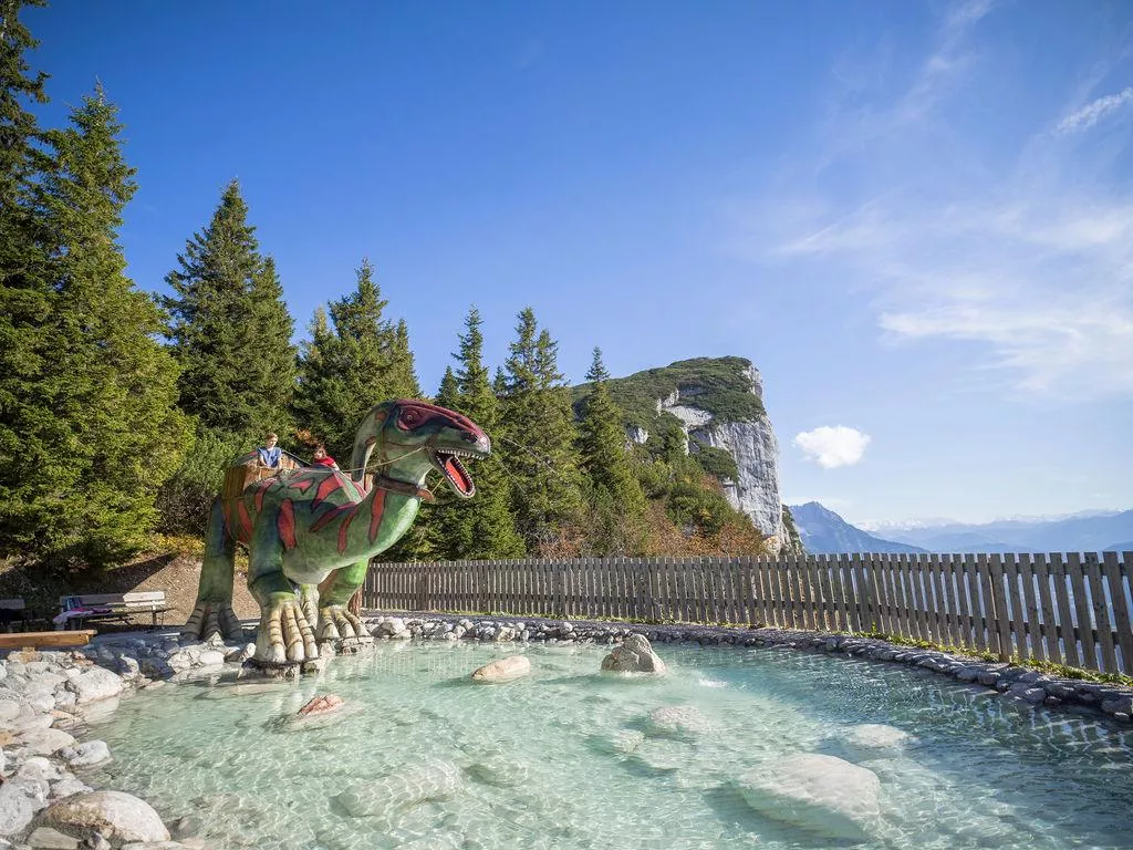
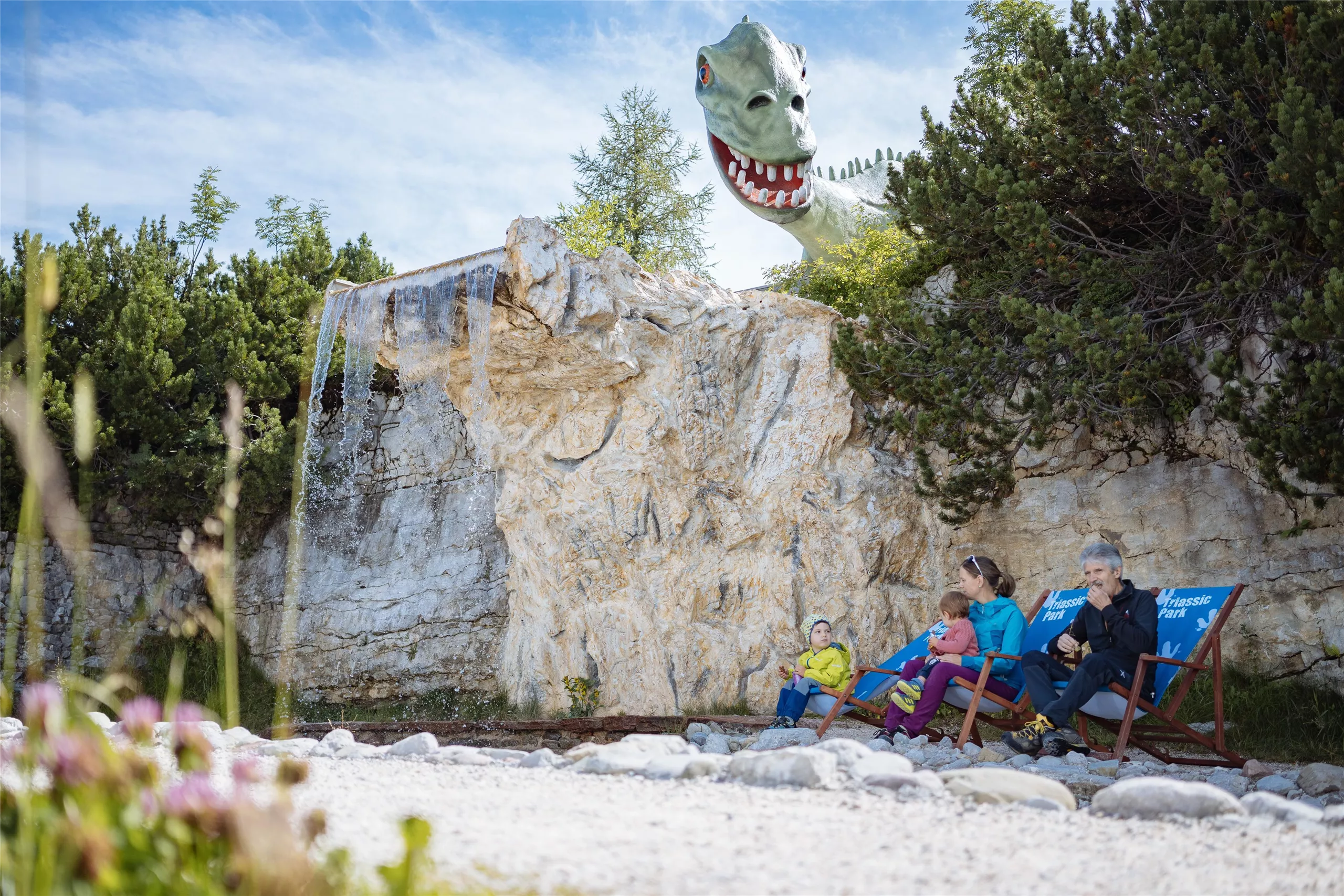
Triassic Park auf der Steinplatte
9.3 km away, in Waidring
A dinosaur and fossil themed adventure world on the Steinplatte plateau above Waidring, recalling the Triassic reef that formed the rock.
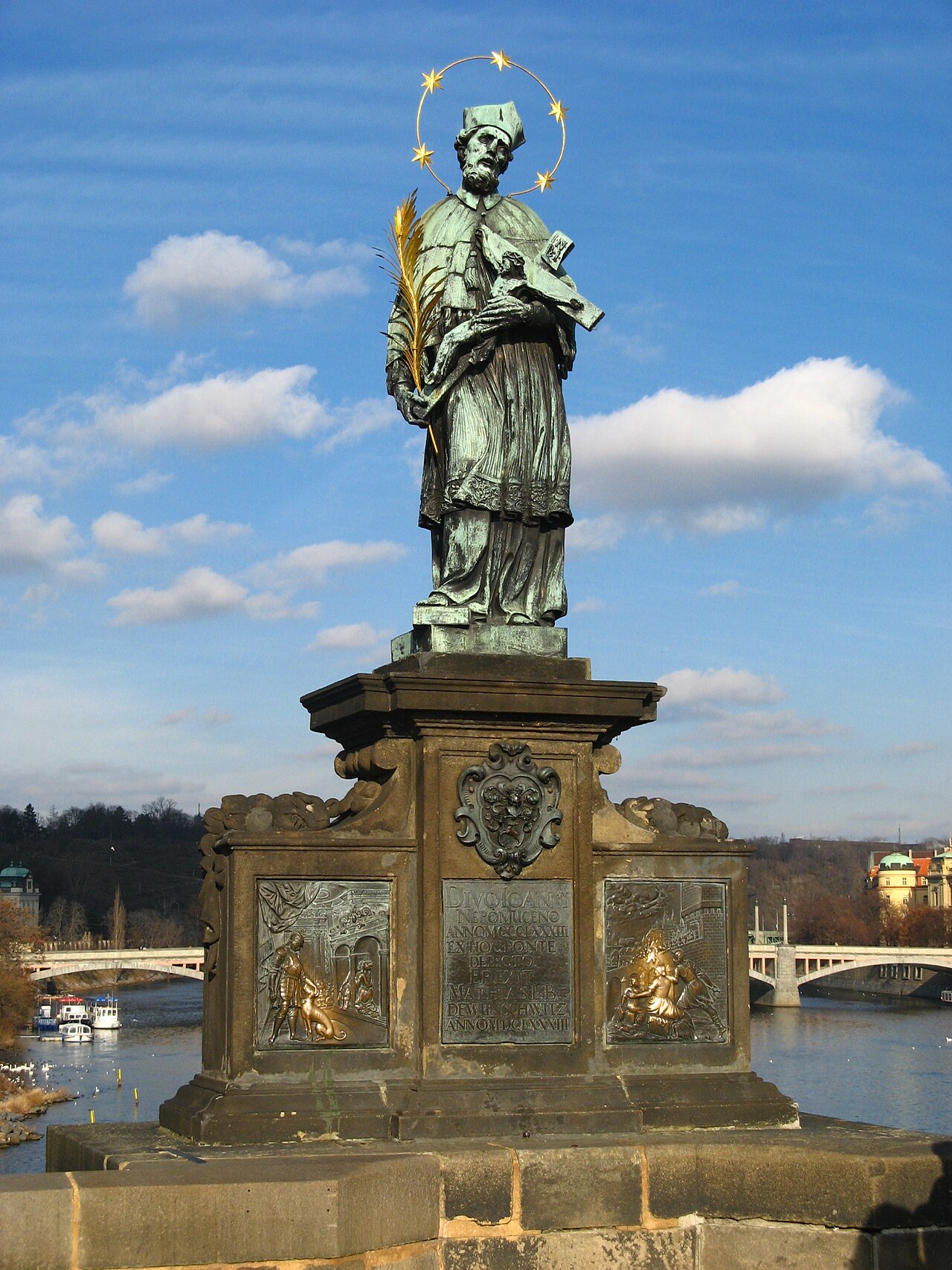
Nepomukstatue
9.9 km away, in St. Johann in Tirol
A statue of Saint John of Nepomuk in St. Johann in Tirol, the bridge saint traditionally placed near water crossings.
Antoniuskapelle
10 km away, in St. Johann in Tirol
A chapel dedicated to Saint Anthony in St. Johann in Tirol, a small baroque building in the centre of the market town.
Angerer Alm
10.1 km away, in St. Johann in Tirol
A mountain inn at the Harschbichl above St. Johann in Tirol, serving regional cooking near the top station of the local lifts.
 Historic site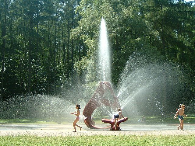

 Cable car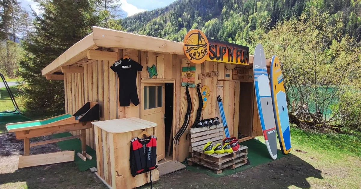
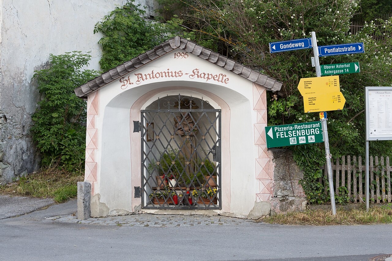
Nothing of this kind in St. Jakob in Haus.
Routes
Panoramarunde St.Jakob in Haus
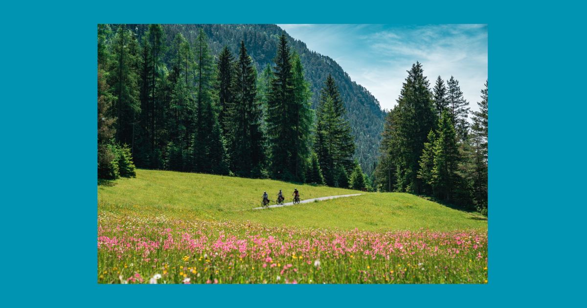
Easy loop above St. Jakob in Haus with open Pillerseetal views toward the Loferer Steinberge and the Jakobskreuz on the Buchensteinwand.
- 8.2 km
- Distance
- 325 m
- Ascent
- 2 h 44 min
- Duration
WaiWi Etappe 2: St. Ulrich am Pillersee - Buchensteinwand - Fieberbrunn
Second leg of the WaiWi long-distance trail: from St. Ulrich am Pillersee over the Buchensteinwand and past the Tennalm down to Fieberbrunn.
- 15.1 km
- Distance
- 687 m
- Ascent
- 5 h 14 min
- Duration
- 18
- Check-ins
Wanderschuh - Rundwanderung
Day-long valley circuit around Fieberbrunn linking the Enzianhütte, the S4 Alm and the moor lake Lauchsee — long on distance, gentle on gradients.
- 26.1 km
- Distance
- 677 m
- Ascent
- 7 h 47 min
- Duration
- 25
- Check-ins
Kalksteinradrunde
A long circuit from Going out to the Pillerseetal and back through Kalkstein, with the Fischteich ponds and Das Bergblick on the way.
- 66.9 km
- Distance
- 547 m
- Ascent
- 6 h 27 min
- Duration
- 11
- Check-ins
 Tourist Information Center 756 m
- Tourismusverband Pillerseetal 777 m
 Fischteich 835 m
- Das Bergblick 855 m
- Fischteich 835 m
- Moserbauer 754 m
- +2
Gravelbike-Runde um den Kalkstein
The gravel version of the Kalkstein circuit, on farm tracks and forest road above Waidring.
- 41.6 km
- Distance
- 524 m
- Ascent
- 4 h 11 min
- Duration
- 7
- Check-ins
- Tourismusverband Pillerseetal 777 m
- Fischteich 835 m
- Das Bergblick 855 m
- Fischteich 835 m
- Moserbauer 754 m
- Seestüberl 839 m
- +1
St.Jakober Besinnungsweg
Level contemplation path at St. Jakob in Haus, where sculpture and text stations invite short pauses on an easy kilometre.
- 1.3 km
- Distance
- 5 m
- Ascent
- 19 min
- Duration
Bergbahn Pillersee - Kröpflalm - Buchensteinwand
Steep direct route from the Pillersee valley station past the Kröpflalm to the Buchensteinwand summit and its walk-in Jakobskreuz cross.
- 4.1 km
- Distance
- 609 m
- Ascent
- 3 h 31 min
- Duration
- 13
- Check-ins
Wander-WM 2026 | Samstag Flecken | lang
Long marked course laid out for the 2026 Hiking World Championships at St. Ulrich, climbing via the Hoametzl Hütte and Kantalm on a 22 km round.
- 22.0 km
- Distance
- 784 m
- Ascent
- 7 h 6 min
- Duration
- 3
- Check-ins
Kalksteinrunde Bike Trail Nr. 18
The waymarked bike-trail take on the Kalkstein loop, following route 18 through the Pillerseetal.
- 41.6 km
- Distance
- 524 m
- Ascent
- 4 h 11 min
- Duration
- 7
- Check-ins
- Tourismusverband Pillerseetal 777 m
- Fischteich 835 m
- Das Bergblick 855 m
- Fischteich 835 m
- Moserbauer 754 m
- Seestüberl 839 m
- +1
St. Jakob i.H. - Buchensteinwand / Jakobskreuz
Classic ascent from St. Jakob in Haus to the Buchensteinwand, topped by the Jakobskreuz — a giant accessible summit cross with viewing platforms.
- 4.6 km
- Distance
- 630 m
- Ascent
- 3 h 41 min
- Duration
- 12
- Check-ins
Gästehaus Elisabeth - Buchensteinwandrunde
Long circuit around the Buchensteinwand from St. Jakob in Haus, passing the Wiesensee — over 20 km, yet never steep.
- 20.7 km
- Distance
- 545 m
- Ascent
- 6 h 12 min
- Duration
- 2
- Check-ins
Die Pillersee Runde
An 84 km road circuit from St. Johann in Tirol out to Brixen im Thale and back by the Fleckalmbahn, with modest climbing.
- 83.9 km
- Distance
- 734 m
- Ascent
- 8 h 8 min
- Duration
- 6
- Check-ins
Lehrbergalm - Schartenalm
Short, steep climb from St. Jakob in Haus to the Lehrbergalm and on toward the Hohe Scharte — 500 m of ascent in 3 km.
- 3.9 km
- Distance
- 510 m
- Ascent
- 2 h 60 min
- Duration
Rundweg Buchensteinwand
Full circuit of the Buchensteinwand massif from St. Jakob in Haus via the Wiesensee — long in distance but gentle in gradient.
- 19.9 km
- Distance
- 474 m
- Ascent
- 5 h 49 min
- Duration
- 2
- Check-ins
17 | Radrunde Buchensteinwand
A road tour from St. Jakob in Haus around the mountain, taking in the Wiesensee and the climbing crags at about 950 m.
- 19.4 km
- Distance
- 405 m
- Ascent
- 2 h 6 min
- Duration
- 2
- Check-ins
Rundwanderung St. Jakob i.H. - Fieberbrunn
Easy-going loop linking St. Jakob in Haus with Fieberbrunn through the meadows of the Pillerseetal, with little climbing either way.
- 8.0 km
- Distance
- 243 m
- Ascent
- 2 h 29 min
- Duration
Buchensteinwandrunde Nr. 17
A cycling circuit through the Pillerseetal from St. Jakob in Haus, going by the Wiesensee and the climbing garden above the road.
- 24.2 km
- Distance
- 518 m
- Ascent
- 2 h 38 min
- Duration
- 2
- Check-ins
St. Jakober Höhenweg
High-path circuit above St. Jakob in Haus over the Gerstberg to the Lehrbergalm and Hohe Scharte, trading valley bustle for quiet balcony views.
- 11.4 km
- Distance
- 588 m
- Ascent
- 4 h 16 min
- Duration


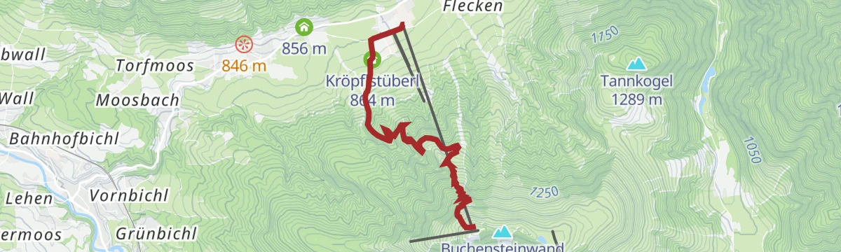

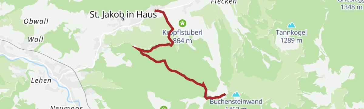


No routes of this kind in St. Jakob in Haus yet.
The region's own picks
 Summit
Featured route
Panoramarunde St.Jakob in Haus
Easy loop above St. Jakob in Haus with open Pillerseetal views toward the Loferer Steinberge and the Jakobskreuz on the Buchensteinwand.
Planning a trip to St. Jakob in Haus?
Everything else Tyrol has, in one place


Take St. Jakob in Haus with you into the mountains
Every route on this page with 3D terrain, GPX navigation and offline maps — including the valleys with no signal.
Data sources
- Official website: kitzbueheler-alpen.com ↗
- Routes and highlights: Kitzbüheler Alpen Tourismus, Wilder Kaiser Tourismus, Kitzbühel Tourismus
- Published as open data by the tourist boards named above.
- Region summary generated from the board's own material.
