
Curated by Visit Lake Iseo
Sovere
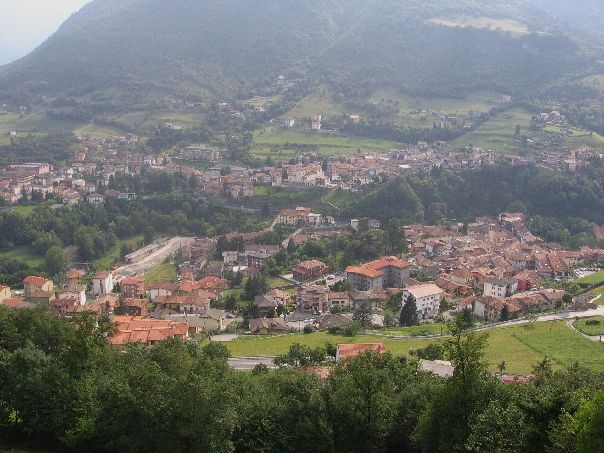
Val Borlezza town with a fossil-lake park, a hill sanctuary, and the Malga Lunga partisan refuge above.
Photo: Ago76 · CC BY-SA 3.0 licence
- 3Highlights
- 4Routes
- Featured summit · Corna Lunga
Highlights
12 from neighbouring places
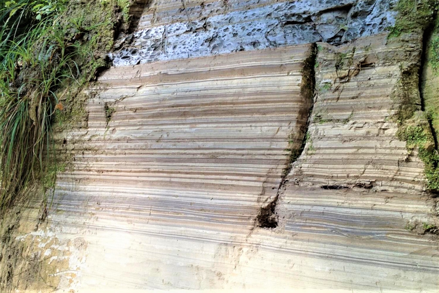
Parco dei Laghi Fossili di Sovere
A park at Sovere protecting fossil-bearing lake beds in the Val Borlezza, with leaf and fish remains in the layered clays.
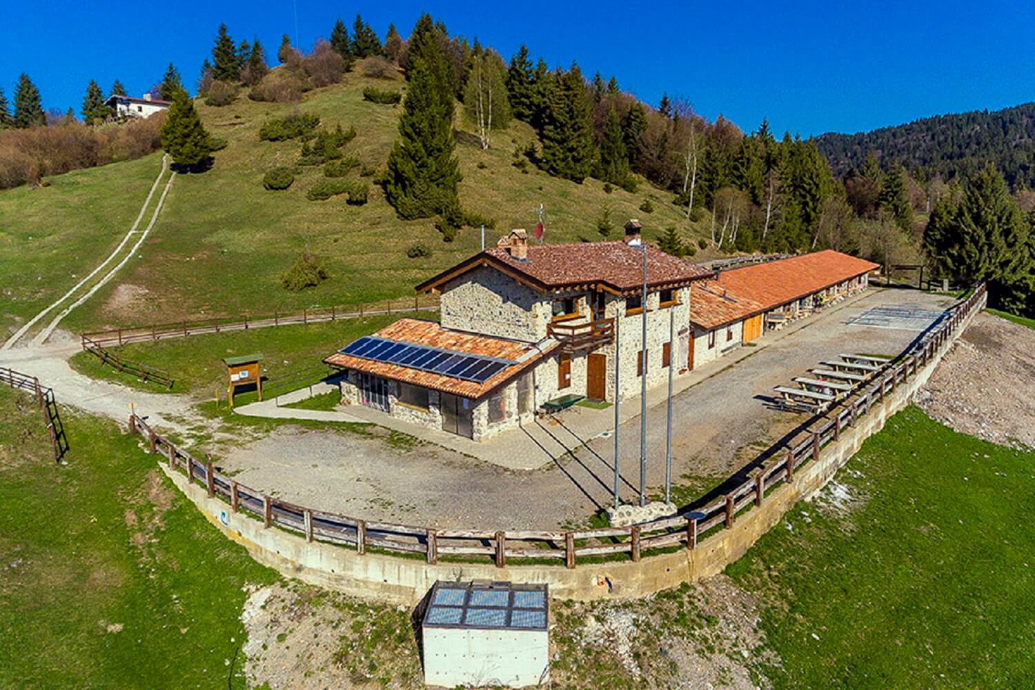
Museo-Rifugio Malga Lunga
A hut and small museum on the ridge above Sovere, at the malga where a partisan band was surrounded in the autumn of 1944.
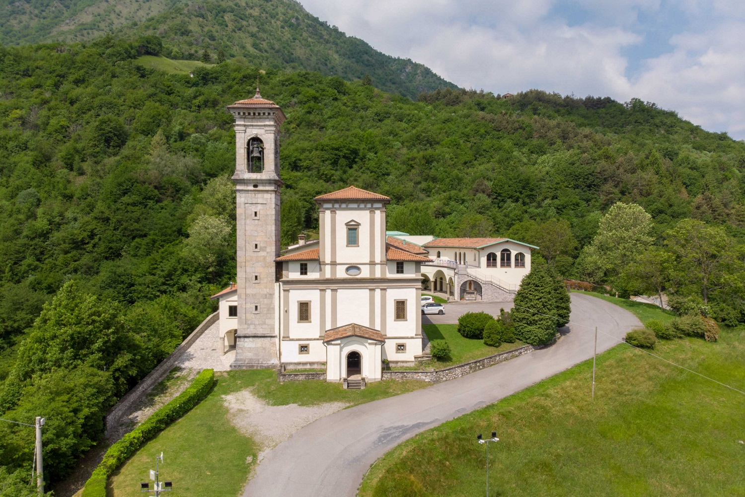
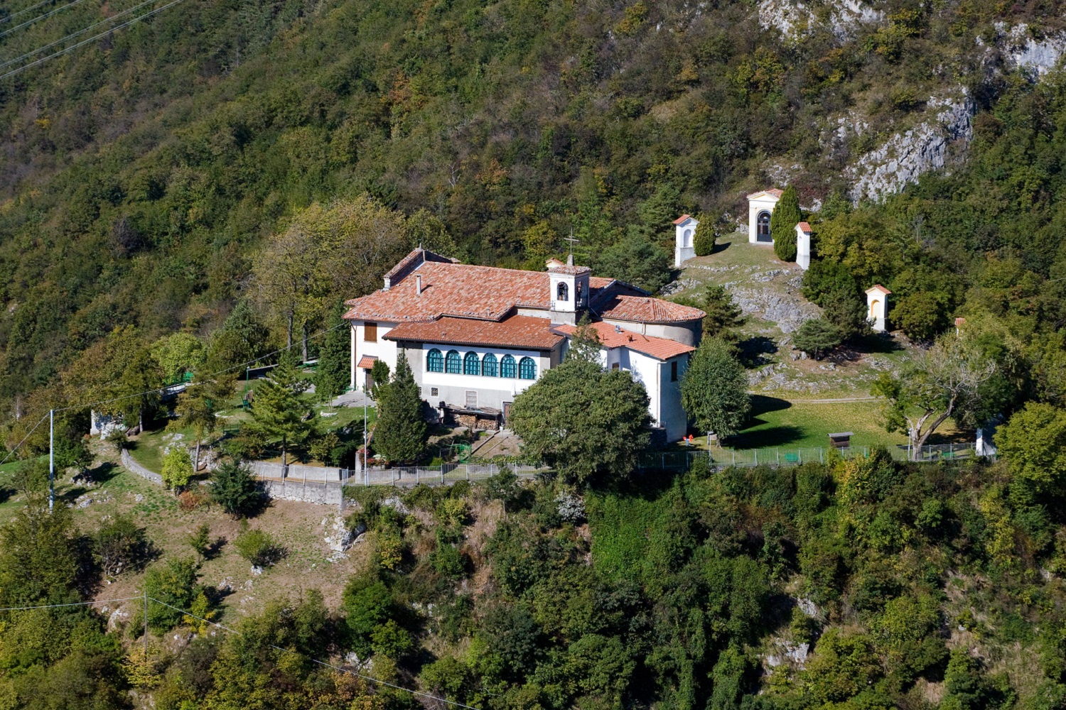
Santuario Madonna della Torre
A Marian sanctuary on the slope above Sovere, in the Val Borlezza above the northern end of Lake Iseo.
Santuario di San Giovanni in Monte Cala
4.2 km away, in Lovere
A sanctuary set on the hillside of Monte Cala above Lovere, looking down the length of Lake Iseo.
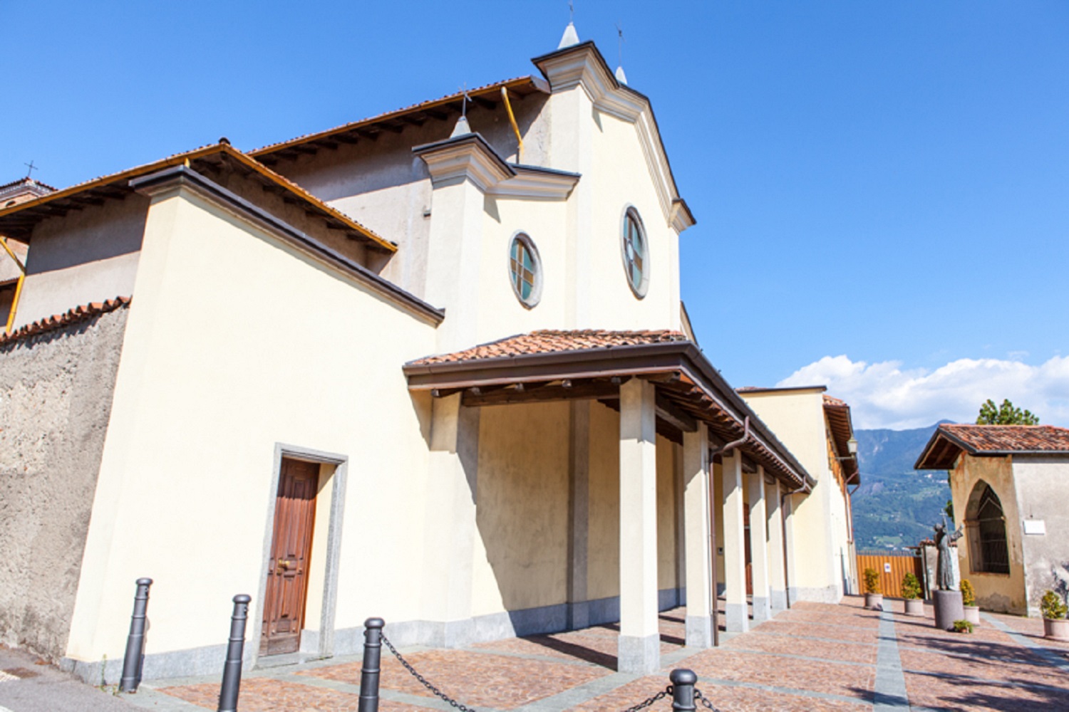
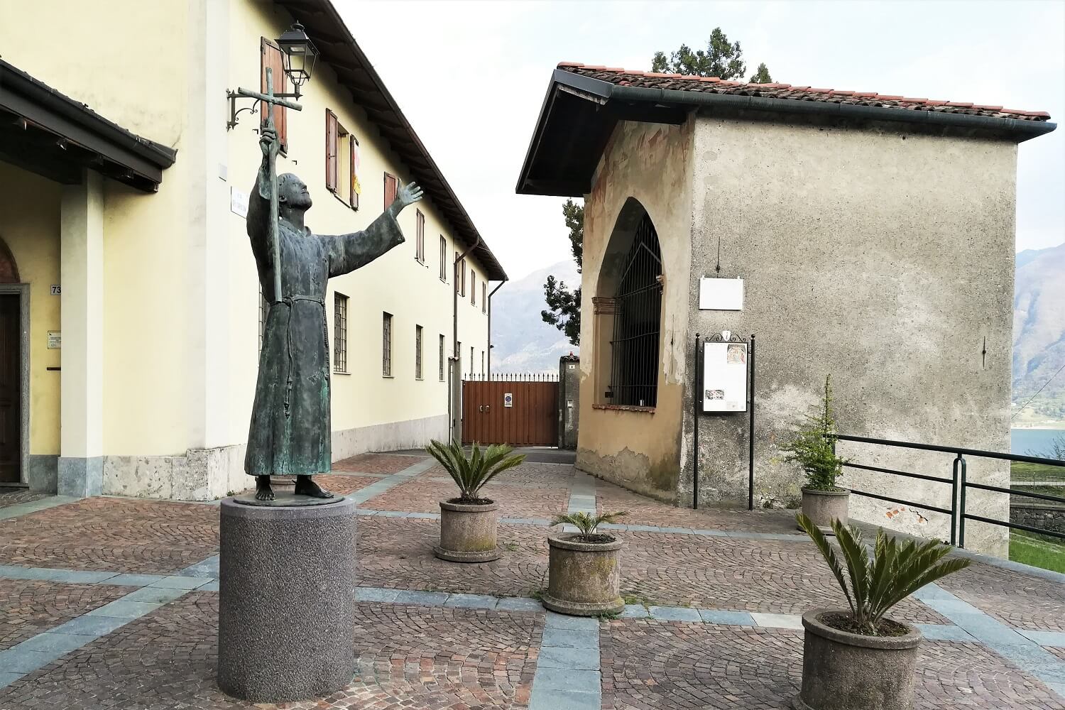
Convento dei Frati Cappuccini
4.8 km away, in Lovere
A Capuchin friary and its church on the slope above Lovere, at the head of Lake Iseo.
Cappella di San Pietro
4.8 km away, in Lovere
A small chapel in Lovere, on the northern shore of Lake Iseo at the foot of the Val Camonica.
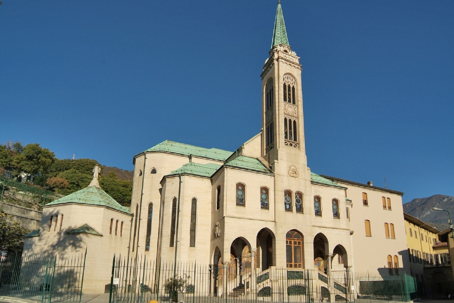
Santuario delle Sante loveresi
5.1 km away, in Lovere
A sanctuary in Lovere dedicated to the two local saints, Bartolomea Capitanio and Vincenza Gerosa, founders of the Sisters of Charity.
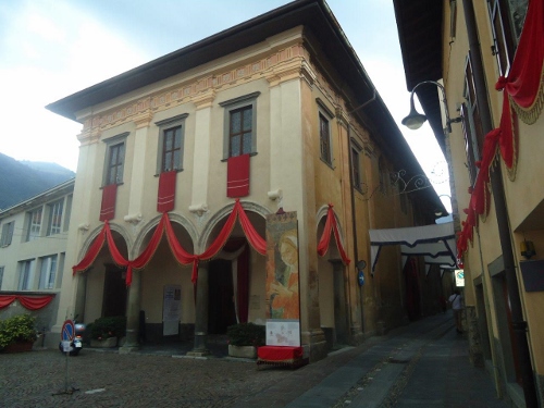
Galleria dell’Accademia di Belle Arti Tadini
5.2 km away, in Lovere
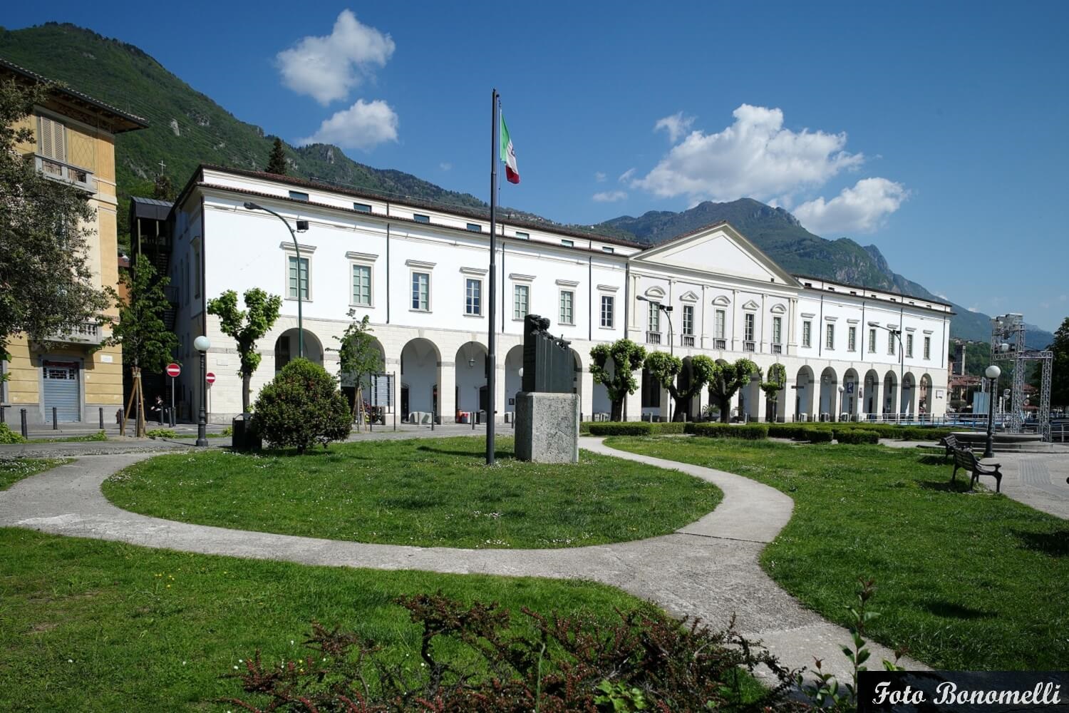
A neoclassical palace on the Lovere lakefront holding the Tadini art collection, including a funerary stele by Antonio Canova.
Torre Civica
5.3 km away, in Lovere
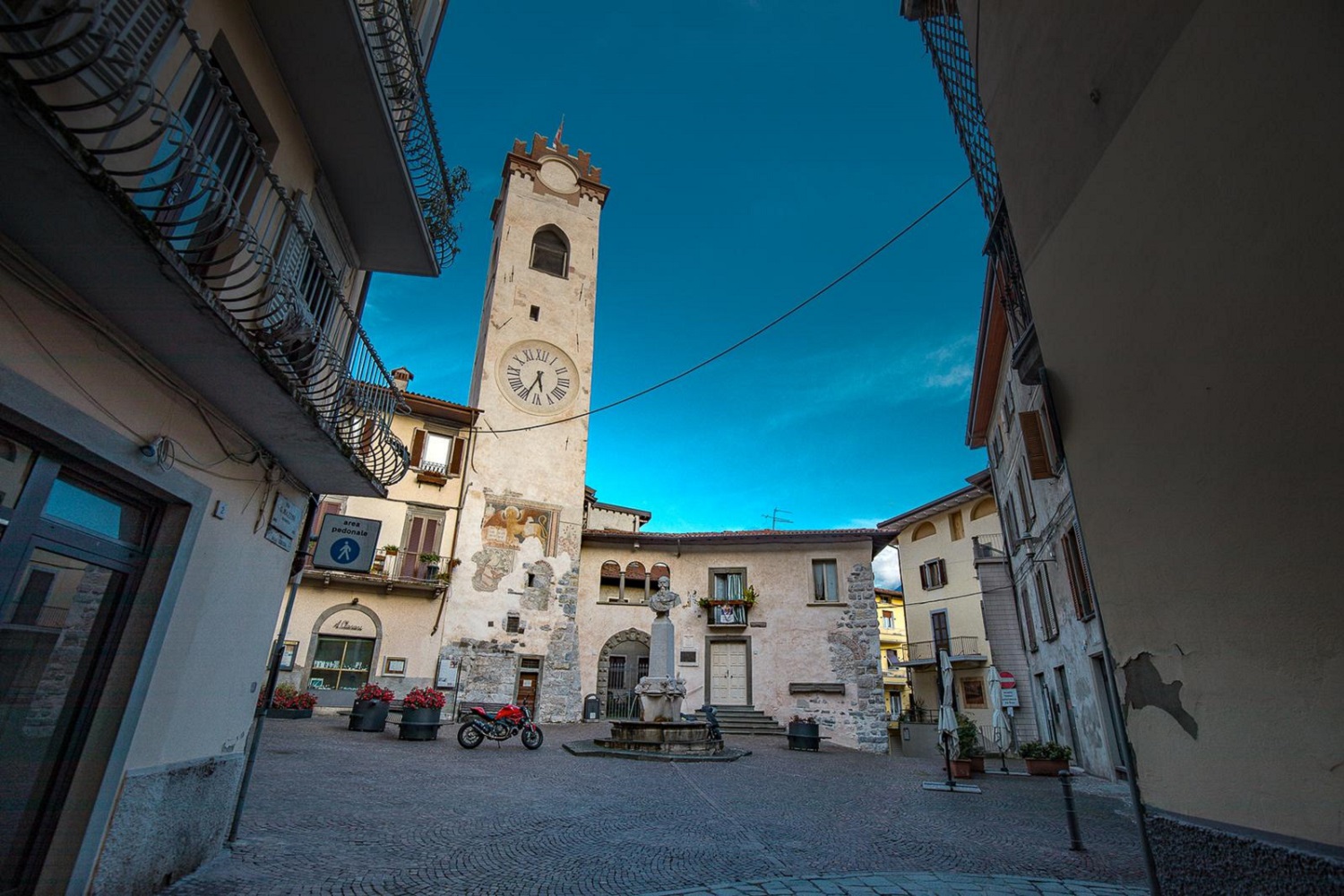
A medieval tower rising over the old lanes of Lovere, near the northern shore of Lake Iseo.
Chiesa di San Giorgio
5.3 km away, in Lovere
A church in the old centre of Lovere, above the northern shore of Lake Iseo.
La Necropoli Romana di Lovere
5.3 km away, in Lovere
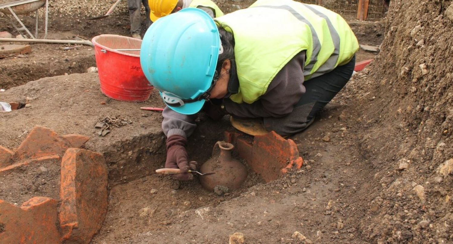
A Roman burial ground uncovered in Lovere, at the northern end of Lake Iseo, with graves and grave goods on show.
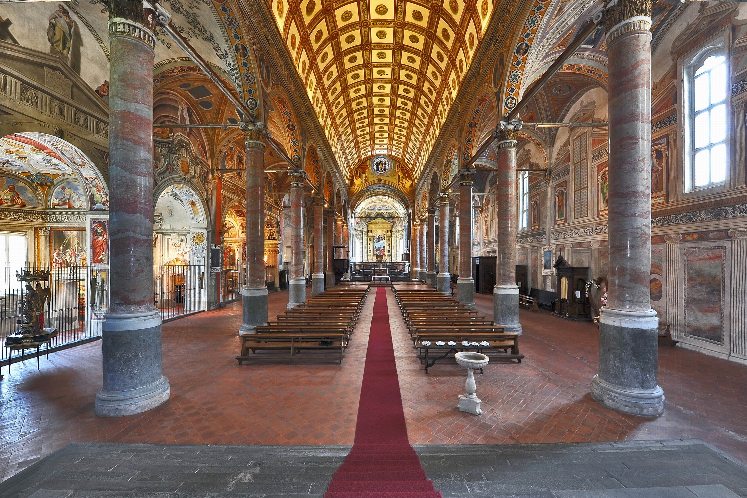
Basilica di Santa Maria in Valvendra
5.4 km away, in Lovere
A Renaissance church near the lakefront of Lovere, at the northern end of Lake Iseo where the Val Camonica opens out.
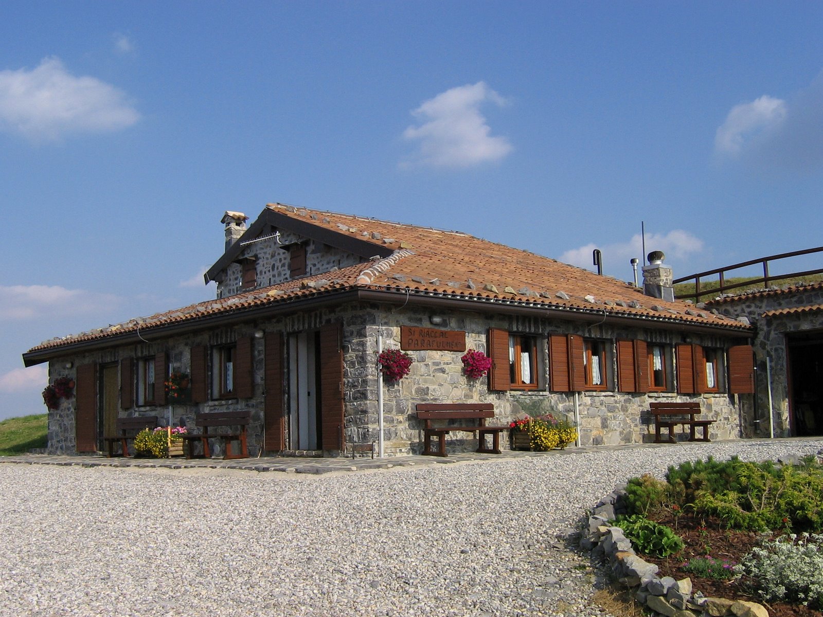
Rifugio Parafulmen
5.6 km away, in Gandino
A hut on the Pizzo Formico ridge above Gandino, with a view down the Val Seriana.
Chiesa di San Gottardo a Cirano
7.6 km away, in Gandino
The church of Cirano, a hamlet on the slope above Gandino.
Chiesa di Santa Croce e Sant’Alessandro
8.2 km away, in Gandino
A church in Gandino, near the basilica in the town's woollen quarter.
 Historic site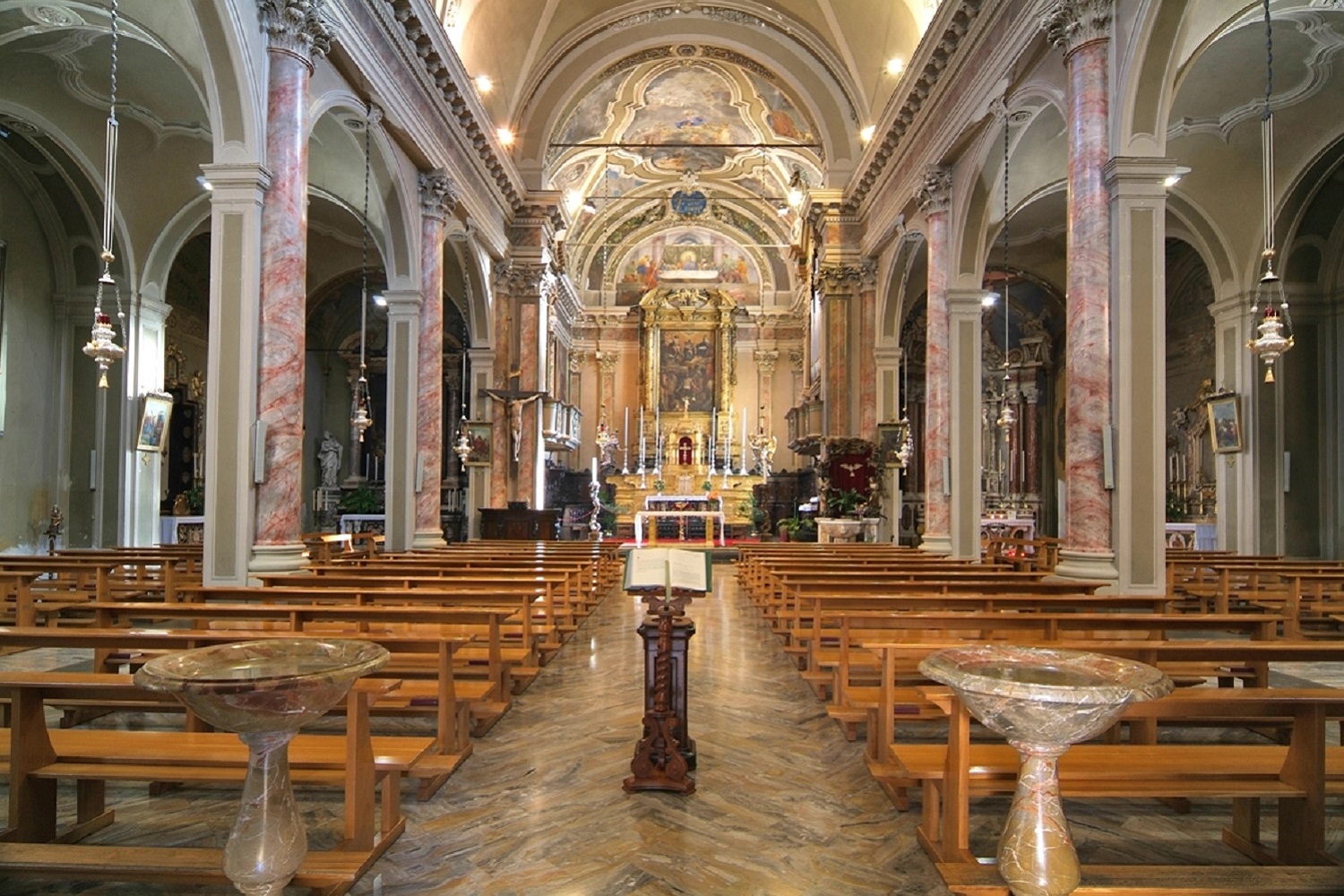
Nothing of this kind in Sovere.
Routes
16 from neighbouring places
Sentiero delle Tre Santelle
A hill route above Sovere in the Val Cavallina, linking three wayside shrines.
- 8.0 km
- Distance
- 644 m
- Ascent
- 4 h 8 min
- Duration
- 7
- Check-ins
Trekking panoramico dei monti di Sovere
A long circuit over the Corna Lunga and La Costa above Sovere, on the ridges between the Val Cavallina and Lake Iseo.
- 14.7 km
- Distance
- 1 060 m
- Ascent
- 6 h 59 min
- Duration
- 64
- Check-ins
MTB Solto Collina
A climb above the Val Cavallina to the Pozza dei Sette Termini, crossing the Forcella di Ranzanico.
- 34.5 km
- Distance
- 1 520 m
- Ascent
- 4 h 30 min
- Duration
- 66
- Check-ins
 Monte Sparavera 1 369 m
 Pozza dei Sette Termini 1 311 m
 Cascina Rizzani 1 206 m
 Forcella di Ranzanico 958 m
- Possa de Paéi 1 048 m
- Palazzo 932 m
MTB Lovere
A long climb from the shore of Lago d'Iseo to the Forcellino di Bossico at 1,174 m, returning past the Pozza d'Ast.
- 30.2 km
- Distance
- 1 364 m
- Ascent
- 3 h 58 min
- Duration
- 62
- Check-ins
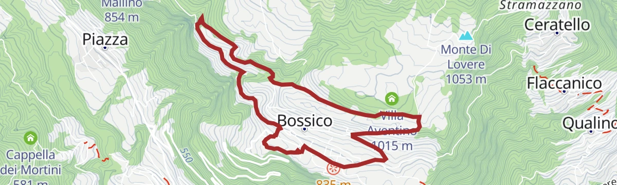
MTB Bossico - yellow route
2.9 km away, in Bossico
An easy circuit from Bossico, out on tarmac to Località Volpi above the lake and back on forest track past the picnic ground at Pila.
- 6.7 km
- Distance
- 207 m
- Ascent
- 48 min
- Duration
Open route VisitlakeiseoMTB Bossico - red route
2.9 km away, in Bossico
A mountain-bike loop from the middle of Bossico into the pine forest, passing the Pozza d'Ast pool and the campsite at Placàt.
- 8.7 km
- Distance
- 330 m
- Ascent
- 1 h 5 min
- Duration
- 15
- Check-ins
- Pozza d'Ast 1 027 m
- Mountain restaurant 981 m
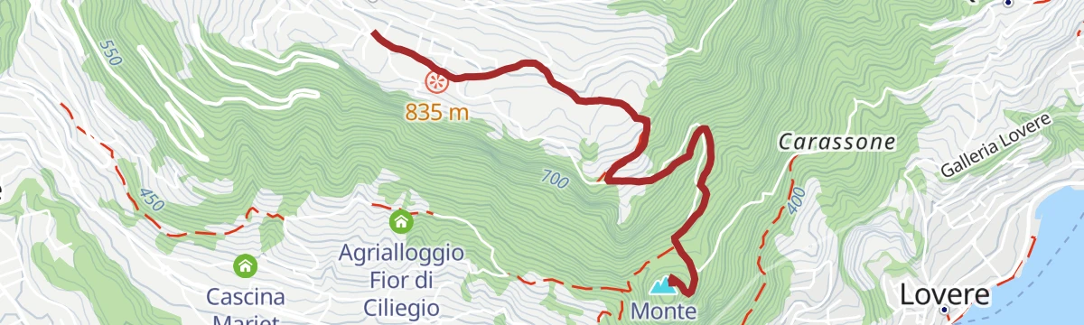
Open route VisitlakeiseoPasseggiata da Bossico a San Giovanni in Monte Cala
2.9 km away, in Bossico
A gentle walk from Bossico across to the church of San Giovanni, by way of the Passo delle Croci under Monte Cala.
- 3.0 km
- Distance
- 55 m
- Ascent
- 1 h 5 min
- Duration
- 15
- Check-ins
Via ferrata from Toline to Corna Trentapassi
7.6 km away, in Pisogne
A via ferrata above the hamlet of Toline, approached on the CAI 212 path through the woods, then cabled rock to the top of the Corna Trentapassi.
- 8.1 km
- Distance
- 1 086 m
- Ascent
- 7 h 57 min
- Duration
- 144
- Check-ins
- Corna Trentapassi 1 248 m
- Anticima Est Corna Trentapassi 1 192 m
- Forcelle di Coloreto 992 m
- Anticima Nord Corna Trentapassi 1 175 m
- Toline 194 m
- Forcella Occidentale Trentapassi 964 m
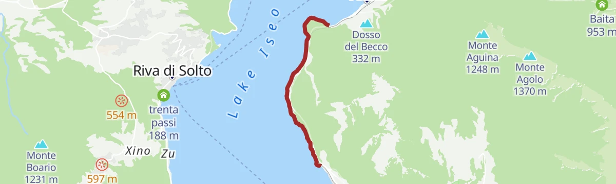
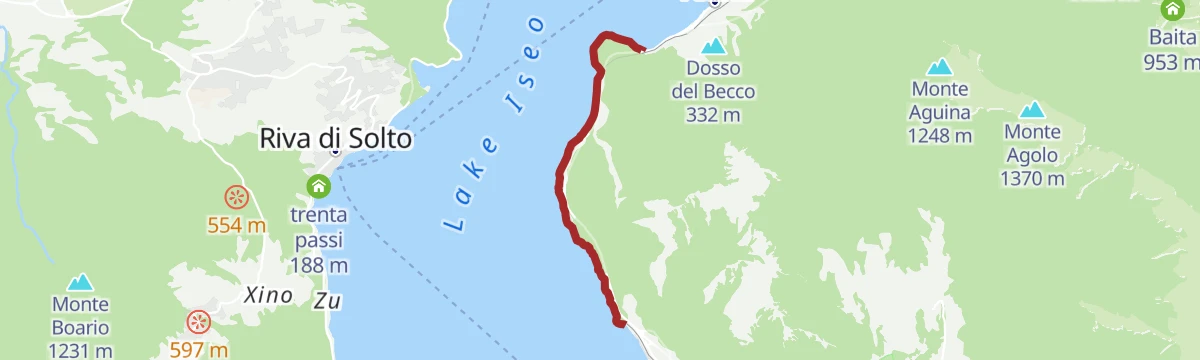
Open route VisitlakeiseoWalk on the cycle-pedestrian path between Vello and Toline
9.2 km away, in Marone
A level walking and cycling route at the water's edge, ending at the Punta delle Croci Bresciane with the Castro gorge opposite.
- 3.8 km
- Distance
- 123 m
- Ascent
- 28 min
- Duration
Open route VisitlakeiseoCiclabile dell'Alta Val Seriana
9.5 km away, in Clusone
A valley cycle path through the upper Val Seriana, following the floor of the valley from Clusone as far as Valbondione at 869 m.
- 24.3 km
- Distance
- 565 m
- Ascent
- 2 h 34 min
- Duration
- 51
- Check-ins
Via Ferrata Corna delle Capre
11.8 km away, in Zone
A ferrata reached from Cislano di Zone by the mule track towards Croce di Marone, then the birdcatcher's path CAI 230 to the foot of the cliff.
- 10.1 km
- Distance
- 647 m
- Ascent
- 5 h 41 min
- Duration
- 2
- Check-ins
Open route VisitlakeiseoDa Bossico al Rifugio Magnolini Tra panorami e avventura sulle creste delle Orobie
2.9 km away, in Bossico
The second stage of the Percorso Verde, climbing through woods and over two saddles to Rifugio Magnolini, with Lago d'Iseo below.
- 9.9 km
- Distance
- 1 040 m
- Ascent
- 4 h 56 min
- Duration
- 112
- Check-ins
Trekking da Bossico al Rifugio Magnolini
3.7 km away, in Bossico
A steady climb past the Cinque Abeti farmstead and Malga Ramello del Nedi to the Forcellino di Ramello and on up to Rifugio Magnolini.
- 7.9 km
- Distance
- 805 m
- Ascent
- 3 h 40 min
- Duration
- 94
- Check-ins
MTB Bossico - black route
2.9 km away, in Bossico
The black route from the Bossico tourist office, climbing through the upper village to the Sette Colli.
- 20.0 km
- Distance
- 1 095 m
- Ascent
- 2 h 57 min
- Duration
- 50
- Check-ins
- Cascina Ciar 798 m
- Forcellino di Bossico 1 174 m
- Il Cadì de la pèst 1 216 m
- Agriturismo "La Selva" 1 253 m
- Passo delle Croci 560 m
- Azienda agrituristica Cinque Abeti 1 022 m
- +1
Open route Visitlakeiseomtb PERCORSO GIALLO
2.9 km away, in Bossico
A short waymarked ride around Bossico, starting and finishing at the Pro Loco in the village centre, with under 300 metres of climbing.
- 6.7 km
- Distance
- 285 m
- Ascent
- 52 min
- Duration
mtb PERCORSO ROSSO
2.9 km away, in Bossico
A waymarked loop ride on the Bossico plateau, setting off from the village and passing the Pozza d'Ast pool and the campsite on the way round.
- 8.2 km
- Distance
- 354 m
- Ascent
- 1 h 4 min
- Duration
- 15
- Check-ins
- Pozza d'Ast 1 027 m
- Mountain restaurant 981 m
Walk from Bossico to San Giovanni in Monte Cala
2.9 km away, in Bossico
Leaving the centre of Bossico, the historic road towards Lovere passes a wayside shrine before dropping to the Passo delle Croci and its fifteenth-century sanctuary.
- 3.0 km
- Distance
- 54 m
- Ascent
- 1 h 5 min
- Duration
- 15
- Check-ins
Open route VisitlakeiseoFerrata da Toline alla Corna Trentapassi
7.6 km away, in Pisogne
A cabled route from Toline on Lake Iseo up the rock to the Corna Trentapassi, the peak standing over the northern arm of the lake.
- 6.5 km
- Distance
- 1 007 m
- Ascent
- 7 h 11 min
- Duration
- 172
- Check-ins
Cycle-pedestrian path between Vello and Toline
9.2 km away, in Marone
A flat lakeside cycleway at water level below the Iseo-Pisogne road, running through short tunnels from Vello di Marone to Toline di Pisogne.
- 3.8 km
- Distance
- 181 m
- Ascent
- 30 min
- Duration
Open route VisitlakeiseoTour dell'Altopiano di Clusone
9.5 km away, in Clusone
A circuit of the Clusone plateau, leaving the cycle path for the old pastoral road above the town.
- 30.1 km
- Distance
- 849 m
- Ascent
- 3 h 28 min
- Duration
- 9
- Check-ins









No routes of this kind in Sovere yet.
The region's own picks

Featured route
Sentiero delle Tre Santelle
A hill route above Sovere in the Val Cavallina, linking three wayside shrines.
Planning a trip to Sovere?
Everything else Lombardy has, in one place


Take Sovere with you into the mountains
Every route on this page with 3D terrain, GPX navigation and offline maps — including the valleys with no signal.
Data sources
- Official website: visitlakeiseo.info ↗
- Routes and highlights: Visit Lake Iseo, Visitlakeiseo, Val Seriana, in Lombardia, Bossico, Trekkingpresolana
- Published as open data by the tourist boards named above.
- Region summary generated from the board's own material.
