
 Historic site








Curated by Dolomitiprealpi
Sospirolo
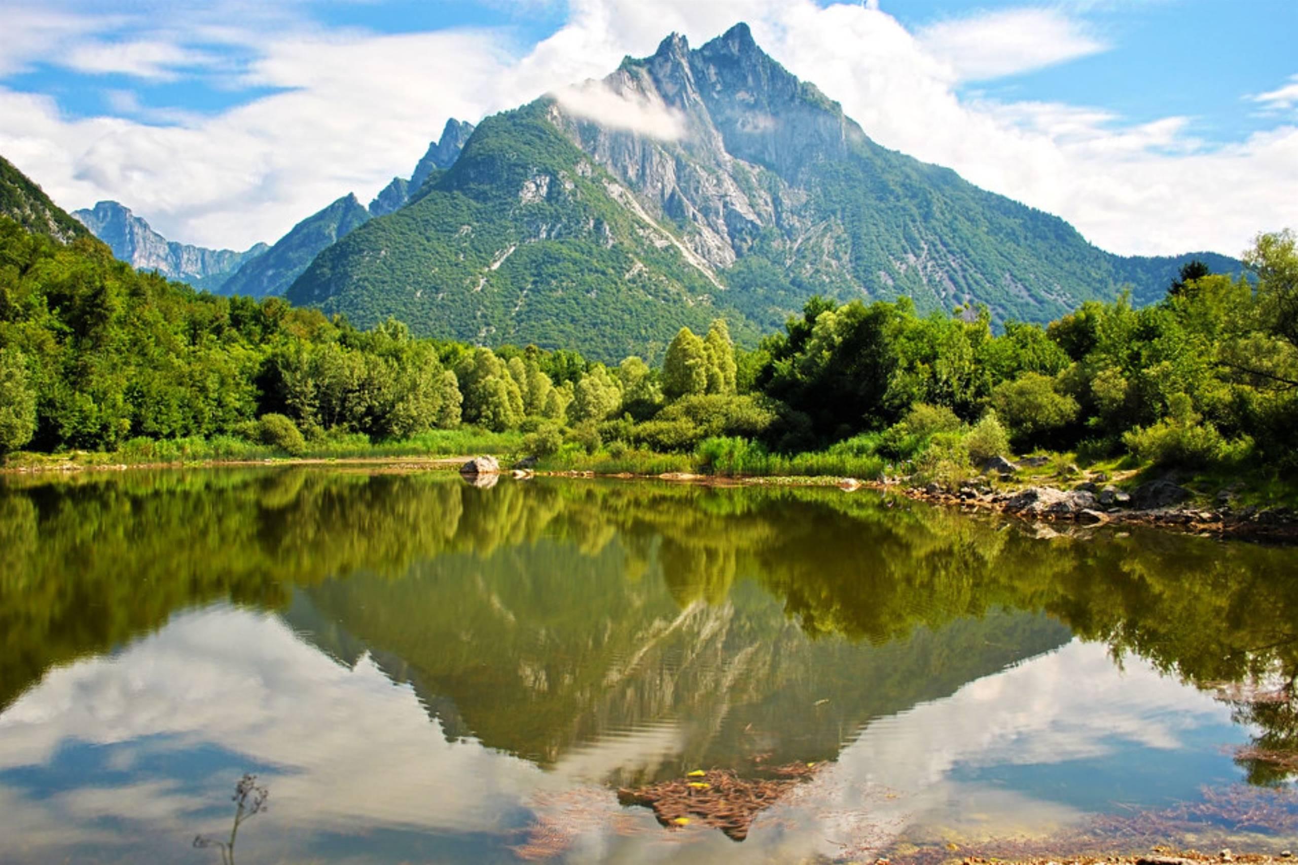
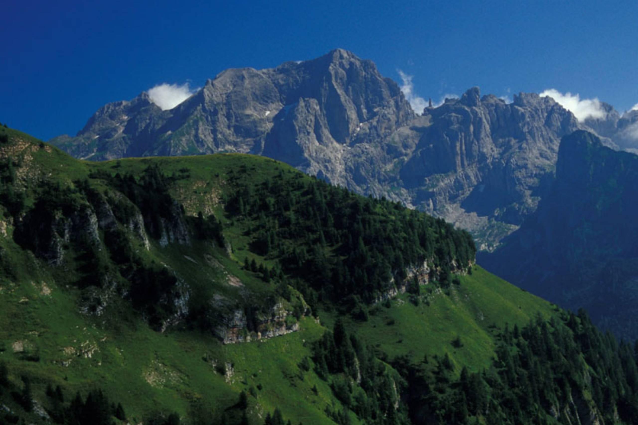
Comune inside the Dolomiti Bellunesi park, with the Mis lake and gorge and the Soffia waterfall in the Val Cordevole.
- 4Highlights
- 7Routes
- Featured summit · Monte Sperone
Highlights
11 from neighbouring places
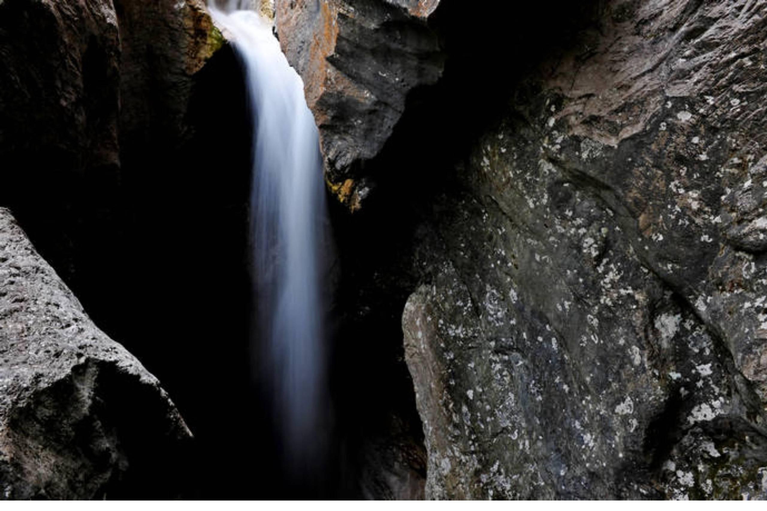
Cascata della Soffia
A waterfall on the Torrente Mis in the Valle del Mis, inside the Dolomiti Bellunesi national park at Sospirolo.
Lago del Mis
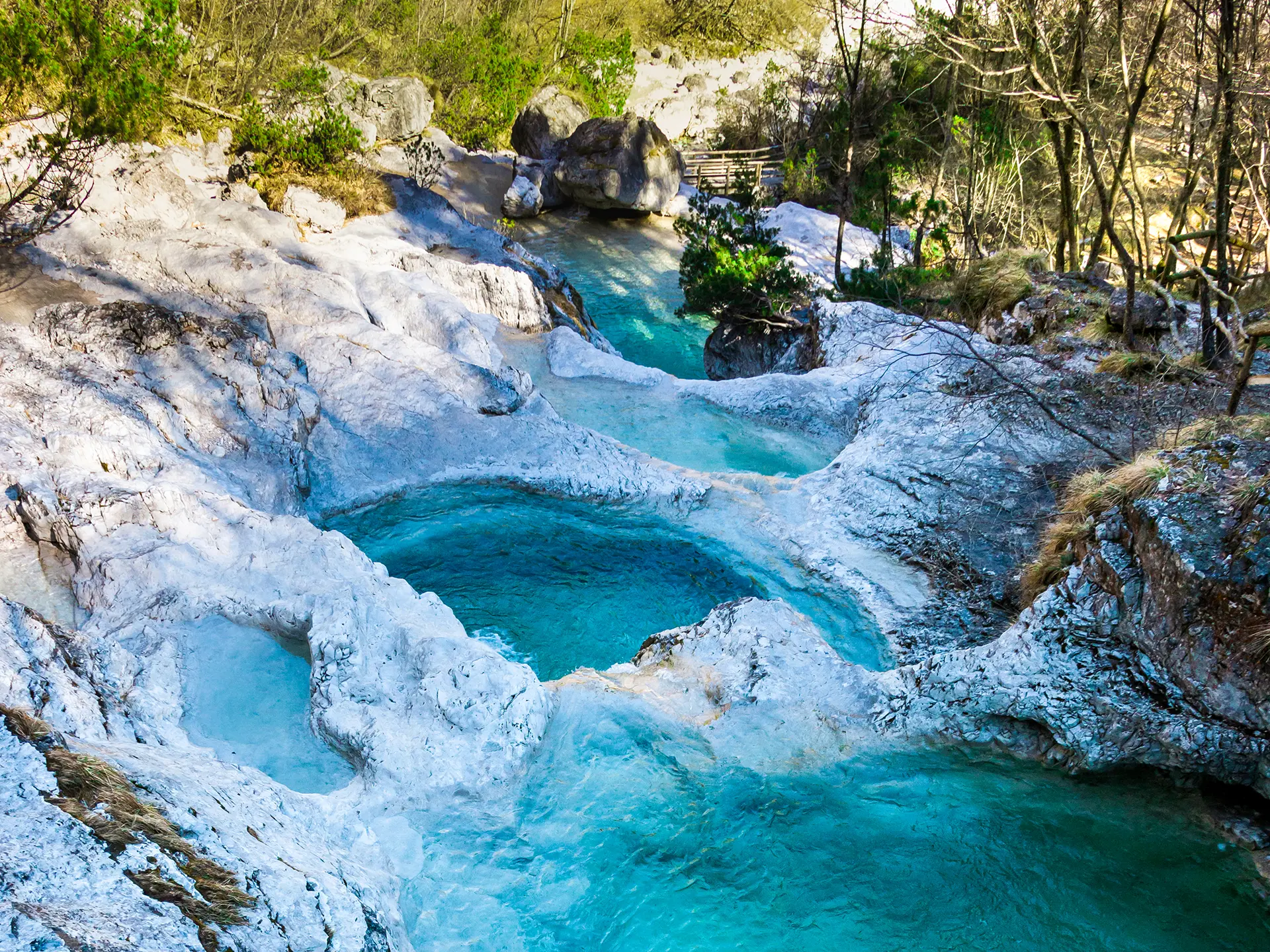
A turquoise reservoir in the Val Mis, with the Cadini del Brenton potholes on the stream above.
Lago di Vedana
A small lake at the mouth of the Val Cordevole near Sospirolo, below the walls of the Certosa di Vedana.
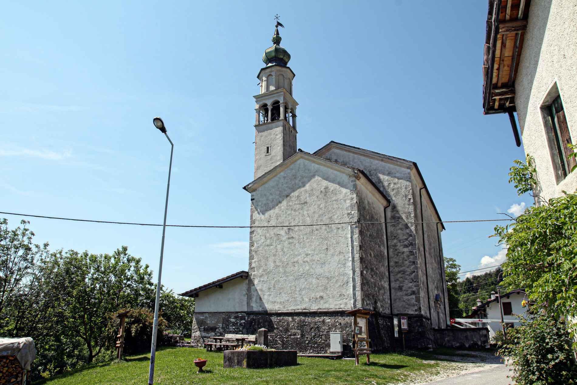
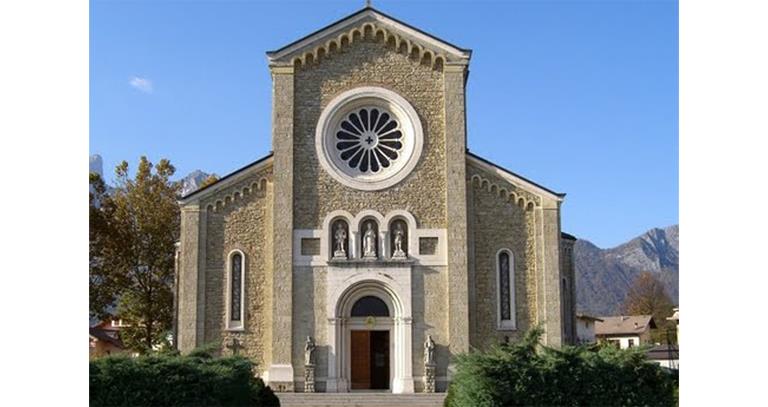
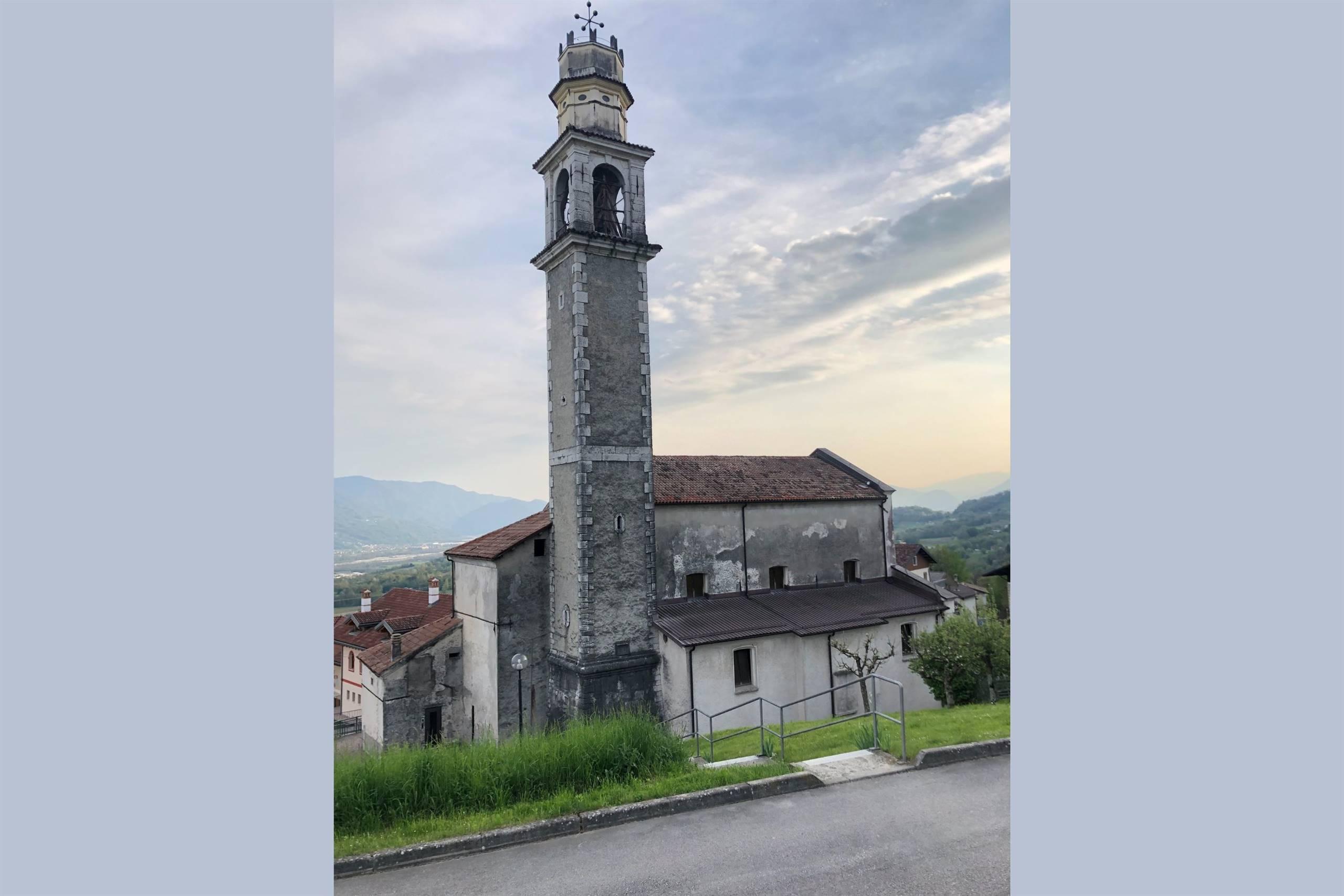
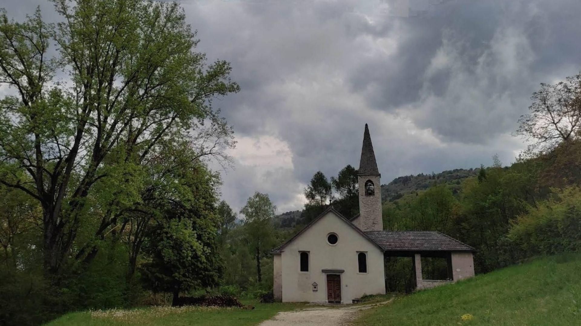
Chiesa di San Gottardo
A church at Sospirolo, in the lower Cordevole valley north-west of Belluno.
Chiesa San Pietro in Corona
6.6 km away, in Sedico
The church of San Pietro in Corona, in the comune of Sedico, at the foot of the Dolomiti Bellunesi national park.
Chiesa Parrocchiale Santa Maria Annunziata
6.8 km away, in Sedico
The parish church of Sedico, dedicated to the Annunciation, in the Valbelluna where the Cordevole meets the Piave.
Chiesa di San Gregorio
7.7 km away, in San Gregorio nelle Alpi
The parish church of San Gregorio nelle Alpi, a village on the sunny slope of the Valbelluna below the Monti del Sole.
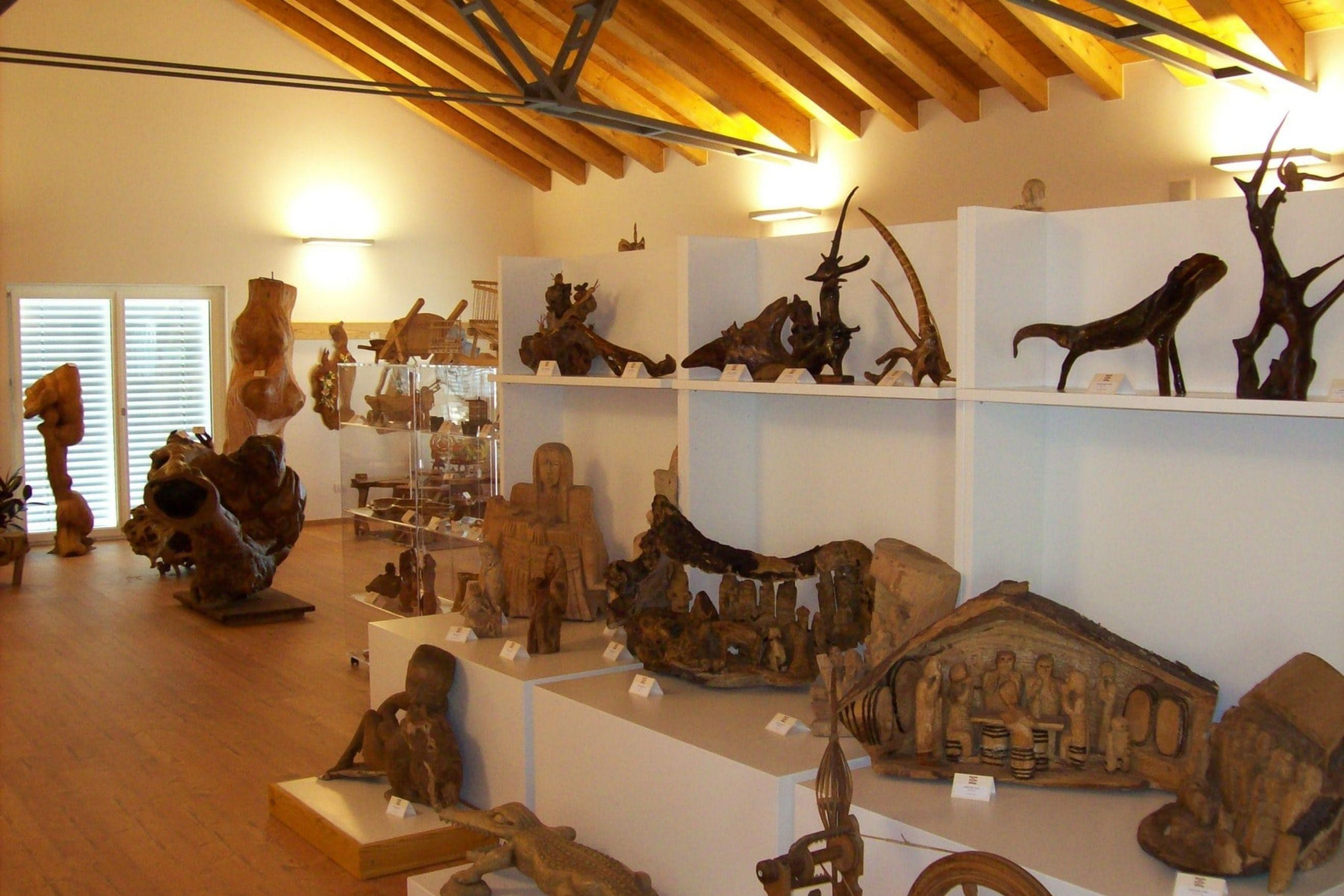
Museo delle zoche, della tarsia e delle stampe antiche
7.8 km away, in San Gregorio nelle Alpi
A village museum at San Gregorio nelle Alpi holding zoche, inlaid woodwork and old printed plates.
Salita al rifugio Bianchet
11.4 km away, in Belluno
The walk up to Rifugio Bianchet, in the Schiara group of the Dolomiti Bellunesi national park north of Belluno.
Chiesa di San Mamante
11.6 km away, in Belluno
A church dedicated to Saint Mamas in the comune of Belluno, in the hills of the Val Belluna above the Piave.
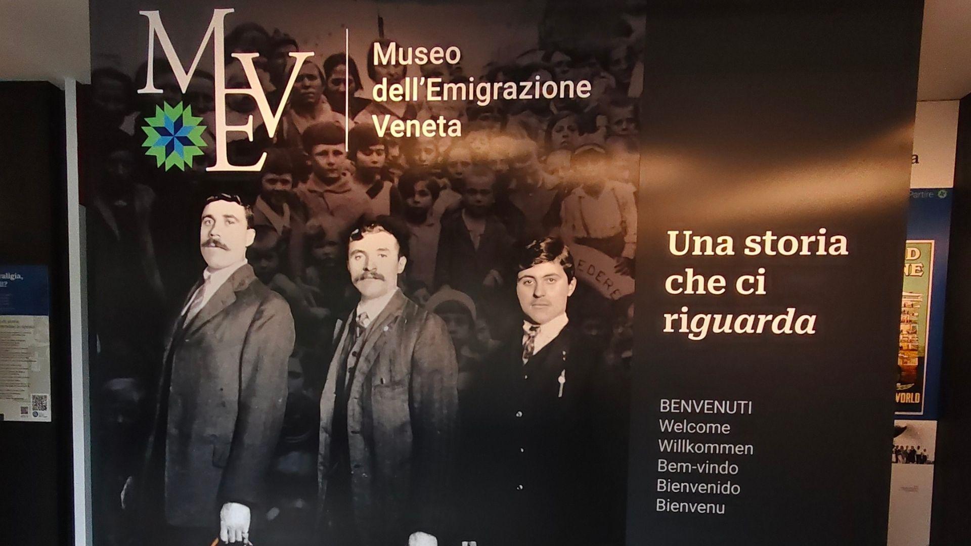
Museo dell’Emigrazione Veneta MEV
11.7 km away, in Belluno
A museum on emigration from the Veneto and the Belluno valleys, in the comune of Belluno.
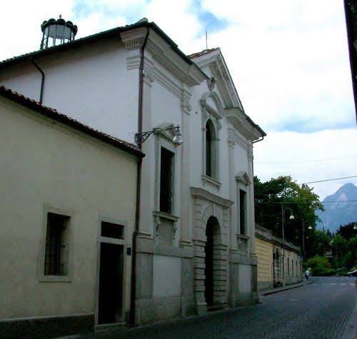
Chiesa di Loreto
11.8 km away, in Belluno
A church of the Madonna of Loreto in the comune of Belluno, in the Val Belluna between the Piave and the Dolomites.
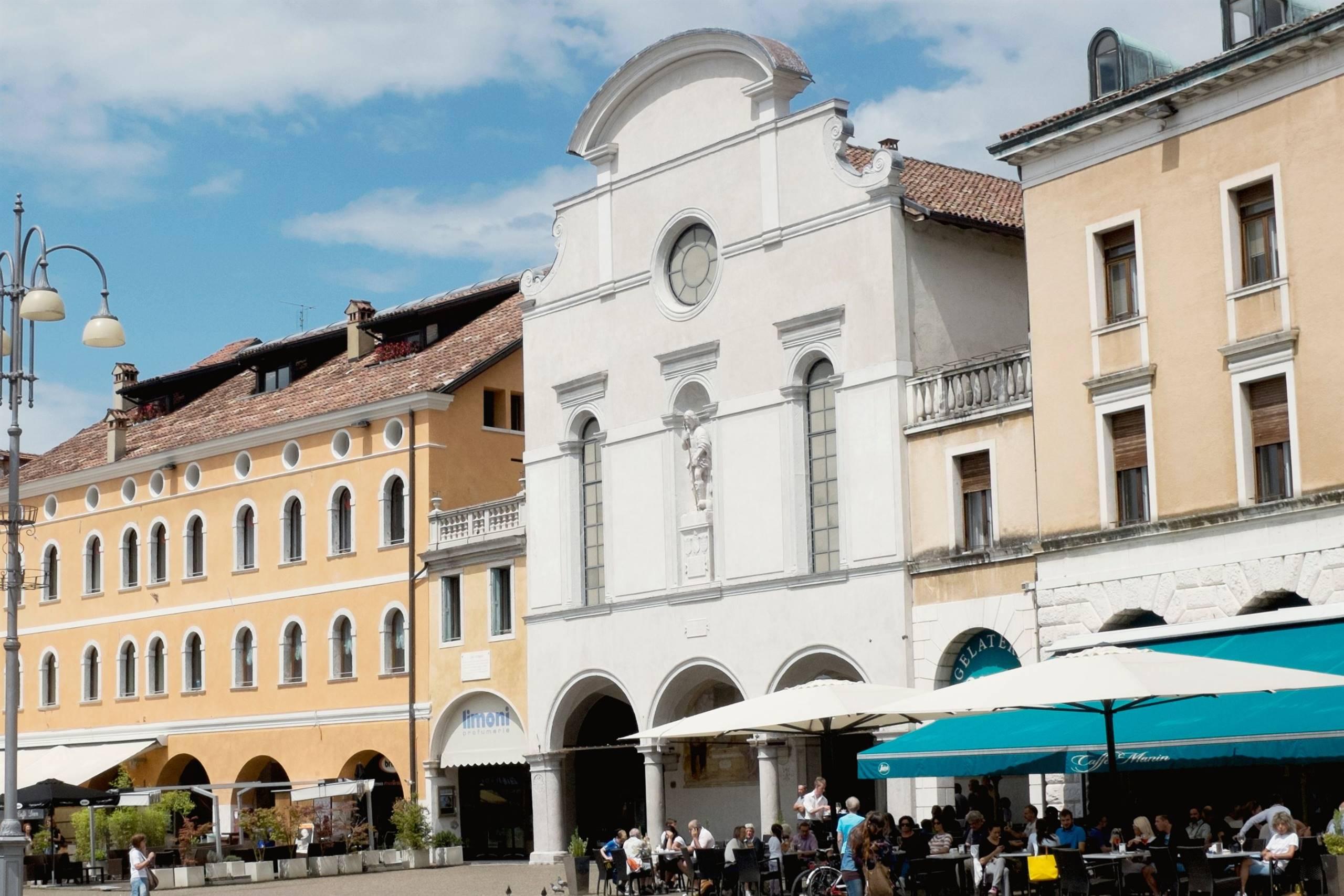
Chiesa di San Rocco
12 km away, in Belluno
A church dedicated to Saint Roch in the comune of Belluno, in the Val Belluna along the Piave.
Castello di Belluno
12.1 km away, in Belluno
The site of Belluno's medieval castle, on the high ground above the Piave at the edge of the old centre.
Piazza castello
12.1 km away, in Belluno
A square in the old centre of Belluno, on the ground once occupied by the town's castle above the Piave.
Nothing of this kind in Sospirolo.
Routes
13 from neighbouring places
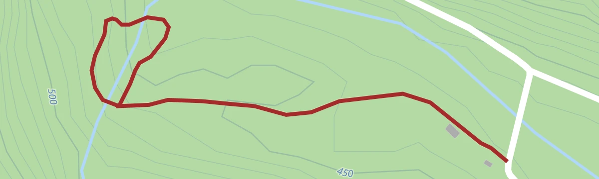
Cadini del Brenton e Cascata della Soffia
A very short walk in the Val del Mis to the Cadini del Brenton, fifteen water-worn basins, and the Soffia waterfall.
- 986 m
- Distance
- 73 m
- Ascent
- 29 min
- Duration
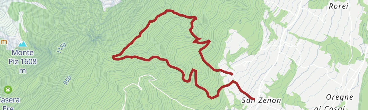
Green Loop (San Zenon - Cadini del Brentaz)
A green-marked loop from San Zenon on mule tracks and forest paths to the Cadini del Brentaz, slippery near the rock pools.
- 6.0 km
- Distance
- 459 m
- Ascent
- 2 h 53 min
- Duration
Open route CAI Dolomiti BellunesiSentiero Dino Buzzati e salita al monte Sperone
A long route on the path named for the writer Dino Buzzati, taken with the climb to Monte Sperone above the Mis valley.
- 15.0 km
- Distance
- 905 m
- Ascent
- 6 h 45 min
- Duration
- 2
- Check-ins
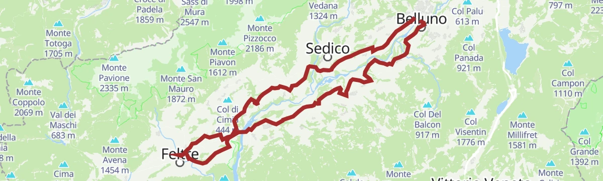
Road-Bike Alleghe 8 Monti del Sole Route
A long road ride down the Valle del Cordevole to Ponte Mas, then up the Valle del Mis past Lago del Ghirlo before the climb to Gosaldo.
- 102.4 km
- Distance
- 1 682 m
- Ascent
- 10 h 40 min
- Duration
- 152
- Check-ins
 Bierstube 977 m
- Alla Caminada 970 m
- Water inlet for Ghirlo powerplant 971 m
- Pizzeria Al Fornel 934 m
- Ristorante alla Stanga 436 m
 Polane 563 m
- +5
Open route Consorzio Operatori Turistici Alleghe - CaprileSentiero San Bartolomeo “Dei Longobardi”
An easy path at Sospirolo linking the San Bartolomeo church with sites tied to the Lombard settlement of the Valbelluna.
- 4.2 km
- Distance
- 133 m
- Ascent
- 1 h 16 min
- Duration
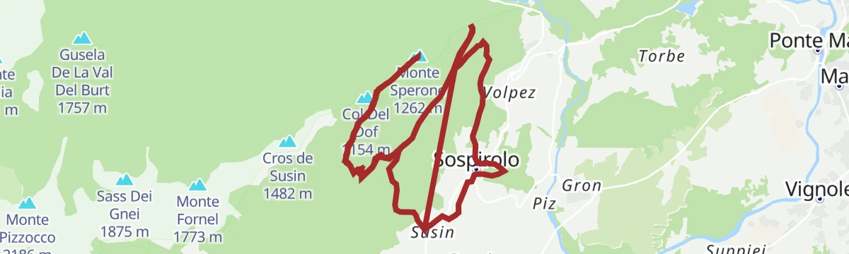
Anello Arancione (giro delle Creste - con varianti)
The orange-marked ring on the crests above Sospirolo, taking in the Cros de Susin, with steep ground throughout.
- 9.1 km
- Distance
- 1 290 m
- Ascent
- 7 h 33 min
- Duration
- 1
- Check-ins
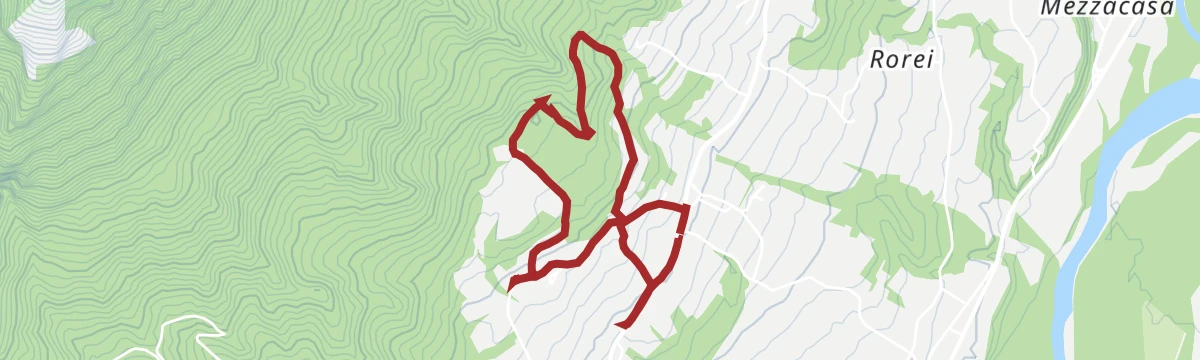
Open route CAI Dolomiti BellunesiCamolino Loop
A rolling ride through the villages of the Val Belluna, from Gron up to Paderno and back by Santa Giustina and Bribano, past working farms.
- 26.9 km
- Distance
- 215 m
- Ascent
- 2 h 36 min
- Duration
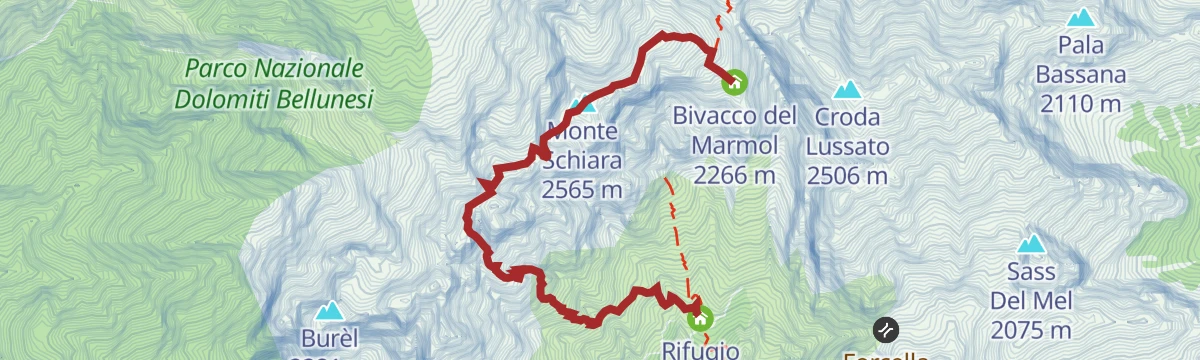
Open route MONTAGNA BELLUNESEAlta Via no.1 - Stage 12
12 km away, in Belluno
The Marmol via ferrata, the usual way down from the Marmol bivouac to the Settimo Alpini hut, some 500 m of rock in bare surroundings and serious in bad weather.
- 4.0 km
- Distance
- 509 m
- Ascent
- 5 h 34 min
- Duration
- 25
- Check-ins
 Monte Schiara 2 565 m
- Gusèla del Vescovà 2 365 m
- Rifugio 7° Alpini 1 498 m
- Bivacco Sperti 2 000 m
- Bivacco Ugo Dalla Bernardina 2 320 m
- Bivacco del Marmol 2 266 m
Open route Cortina Marketing Se.Am.Stabie Ring
13.8 km away, in Borgo Valbelluna
A short loop from Lentiai up into the hills of the Val Belluna and back, past farms working to protect local biodiversity.
- 11.7 km
- Distance
- 322 m
- Ascent
- 1 h 21 min
- Duration
Open route MONTAGNA BELLUNESEDolomiti Palaronda Ferrata 360 Tour - 6th stage
14.7 km away, in Primiero San Martino di Castrozza
A hard stage of the 360 traverse of the Pale di San Martino, with heavy climbing between huts on paths and ferratas.
- 7.7 km
- Distance
- 1 564 m
- Ascent
- 10 h 45 min
- Duration
- 65
- Check-ins
- Rifugio Treviso 1 631 m
- Bivacco Renato Reali 2 650 m
 Forcella delle Mughe 2 244 m
- Forcella Vani Alti 2 529 m
- Forcella Sant'Anna 2 378 m
- Forcella del Marmor 2 600 m
Open route APT San Martino di Castrozza, Primiero e VanoiFerrata del Canalone
14.7 km away, in Primiero San Martino di Castrozza
A short, steep equipped gully on the Pale di San Martino, above San Martino di Castrozza in the Primiero valley.
- 1.1 km
- Distance
- 318 m
- Ascent
- 2 h 5 min
- Duration
- 44
- Check-ins
Open route APT San Martino di Castrozza, Primiero e VanoiBy mountain bike to Rifugio Bruno Boz
14.7 km away, in Mezzano
A dirt-road climb from Mezzano past Malga Neva Prima and Malga Neva Seconda to the refuge under Sass de Mura, with one easy ford of the Neva.
- 10.9 km
- Distance
- 691 m
- Ascent
- 1 h 47 min
- Duration
- 24
- Check-ins
- Rifugio Bruno Boz 1 718 m
- Bivacco Invernale Matteo Fiori 1 727 m
- Malga Neva Seconda 1 746 m
- Malga Neva Prima 1 686 m
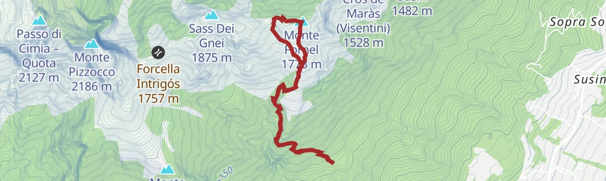
Open route CAI Dolomiti BellunesiAnello Marrone (cod di Fioch - Monte Fornel)
4.6 km away, in San Gregorio nelle Alpi
A ring on the Sospirolo hills from Cod di Fioch to the top of Monte Fornel, one of the waymarked high routes there.
- 5.4 km
- Distance
- 892 m
- Ascent
- 5 h 4 min
- Duration
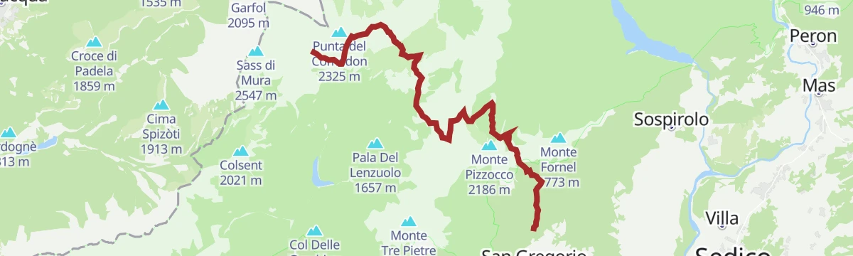
Open route CAI Dolomiti BellunesiCAI Trail 851 of Cìmia and Slavinàz
6.2 km away, in San Gregorio nelle Alpi
A long crossing under the east face of Pizzocco by the Piani di Cìmia and the Erera-Brendol plateau, over five passes in the wildest Feltrine hills.
- 15.0 km
- Distance
- 2 371 m
- Ascent
- 11 h 53 min
- Duration
- 14
- Check-ins
- Forcella Intrigós 1 757 m
- Malga Erera 1 709 m
- Capanna Cimia 1 610 m
- Passo di Forca 1 862 m
- Passo di Cìmia 2 064 m
- Forcella dell'Omo 1 946 m
Open route CAI Dolomiti BellunesiIl sentiero dei castelli perduti
7.5 km away, in San Gregorio nelle Alpi
An easy walk at San Gregorio nelle Alpi to the sites of vanished castles on the low hills above the Valbelluna.
- 4.7 km
- Distance
- 112 m
- Ascent
- 1 h 22 min
- Duration
The Val Belluna Ring: the places of biodiversity
11.5 km away, in Belluno
A two-day e-bike circuit from Belluno by way of Feltre, Mel and Limana, calling at small farms and hamlets along the Piave.
- 77.7 km
- Distance
- 616 m
- Ascent
- 7 h 28 min
- Duration
- 2
- Check-ins
- Ufficio Turistico di Belluno - IAT 385 m
- Ufficio Turistico di Feltre 289 m
- Area Prior 273 m
- Ufficio Informazioni di Mel 353 m
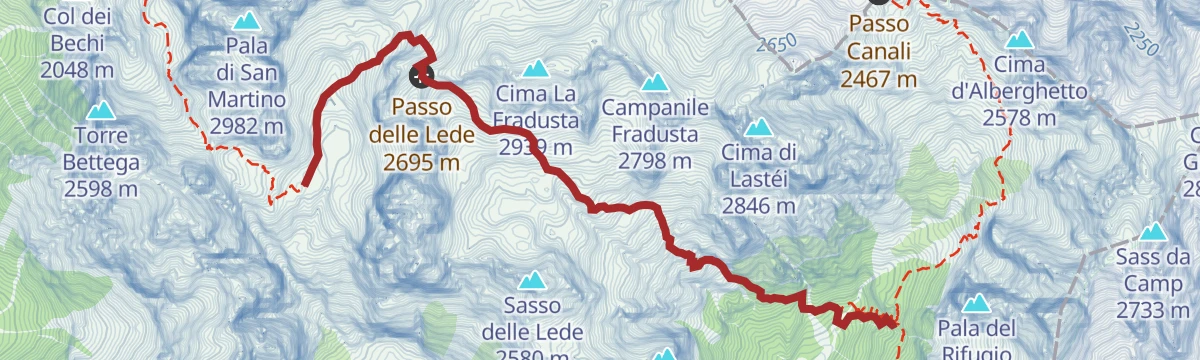
Open route MONTAGNA BELLUNESEDolomites Palaronda Ferrata 360 Tour - stage 7
14.7 km away, in Primiero San Martino di Castrozza
A steep stage of the eight-day Palaronda 360 circuit, gaining the Pale di San Martino plateau on cabled rock and high paths.
- 6.8 km
- Distance
- 1 272 m
- Ascent
- 7 h 19 min
- Duration
- 98
- Check-ins
- Rifugio Treviso 1 631 m
- Rifugio Pradidali 2 278 m
- Bivacco Carlo Minazio 2 294 m
- Passo delle Lede 2 695 m
Open route APT San Martino di Castrozza, Primiero e VanoiRifugio Casera Ere
5.5 km away, in San Gregorio nelle Alpi
A gentle marked track to the Casera Ere hut at the edge of the Belluno Dolomites park, with carved wooden figures and a playground by the building.
- 6.6 km
- Distance
- 428 m
- Ascent
- 2 h 54 min
- Duration
- 12
- Check-ins
Open route CAI Dolomiti BellunesiMonte Pizzocco
6.3 km away, in San Gregorio nelle Alpi
The ascent of Monte Pizzocco above the Valbelluna, up by trail 851 and down by 853, with slippery ground beyond the Forcella Intrigos.
- 10.2 km
- Distance
- 1 683 m
- Ascent
- 9 h 34 min
- Duration
- 31
- Check-ins
Open route CAI Dolomiti BellunesiPercorso del cuore
7.5 km away, in San Gregorio nelle Alpi
A short loop through the hamlets of San Gregorio nelle Alpi, past frescoed houses and orchards under the Pizzocco.
- 4.7 km
- Distance
- 112 m
- Ascent
- 1 h 22 min
- Duration
No routes of this kind in Sospirolo yet.
The region's own picks
Featured route
Cadini del Brenton e Cascata della Soffia
A very short walk in the Val del Mis to the Cadini del Brenton, fifteen water-worn basins, and the Soffia waterfall.
Planning a trip to Sospirolo?
Everything else Veneto has, in one place


Take Sospirolo with you into the mountains
Every route on this page with 3D terrain, GPX navigation and offline maps — including the valleys with no signal.
Data sources
- Official website: dolomitiprealpi.it ↗
- Routes and highlights: Dolomitiprealpi, CAI Dolomiti Bellunesi, MONTAGNA BELLUNESE, APT San Martino di Castrozza, Primiero e Vanoi, Consorzio Operatori Turistici Alleghe - Caprile, Cortina Marketing Se.Am.
- Published as open data by the tourist boards named above.
- Region summary generated from the board's own material.
