
 Cable car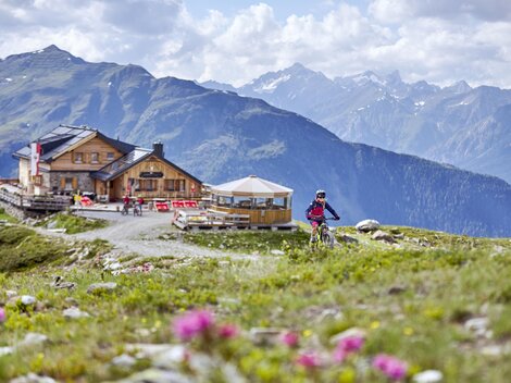




















Curated by Serfaus-Fiss-Ladis
Serfaus
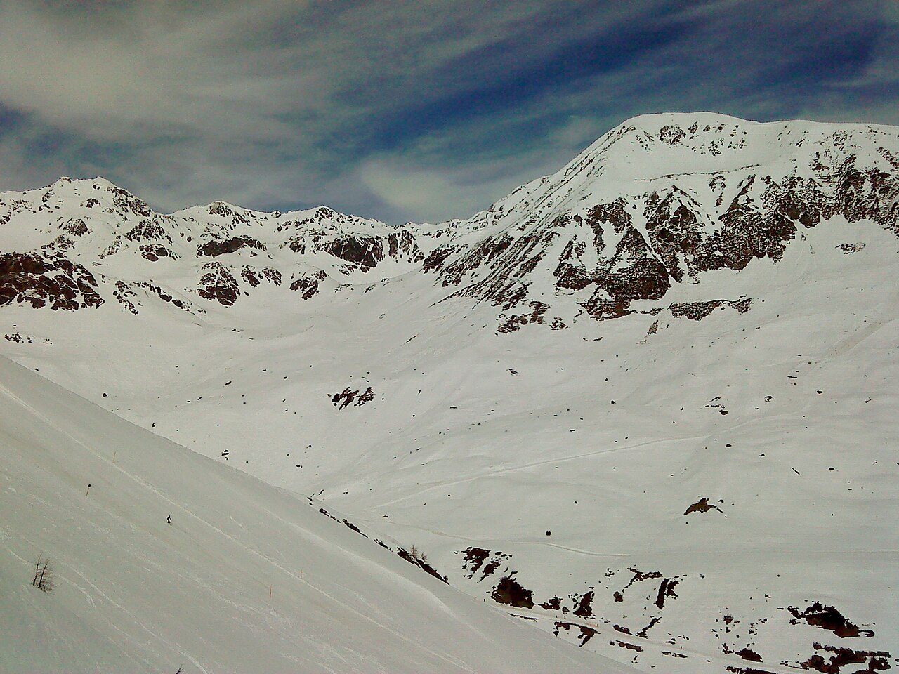
A car-free village on the sunny terrace high above the upper Inn at about 1430 m, sharing a large family-oriented ski area with Fiss and Ladis.
- 5Highlights
- 122Routes
- Featured summit · Lazidkopf
Highlights
10 from neighbouring places
Kölner Haus
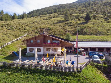
A mountain hut of the Cologne Alpine Club section on the Komperdell above Serfaus, reachable by lift and a base for walks.
Sportalm
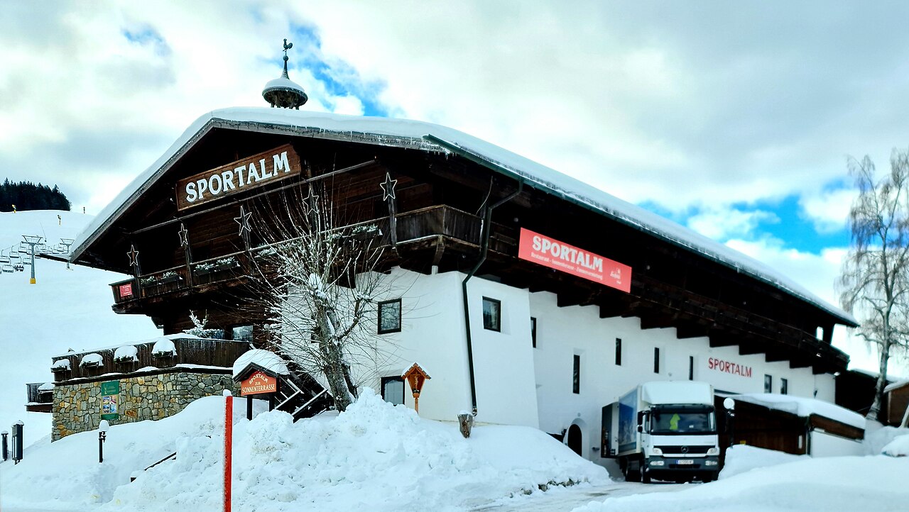
A mountain hut and restaurant in the Komperdell ski sector above Serfaus, in the Serfaus-Fiss-Ladis area of Tirol.
Hexensee Hütte
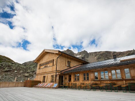
A hut beside the small Hexensee lake in the mountains between the Paznaun and Serfaus, reached on ski routes in winter and mountain trails in summer.
Hugo's Cervosa Alm
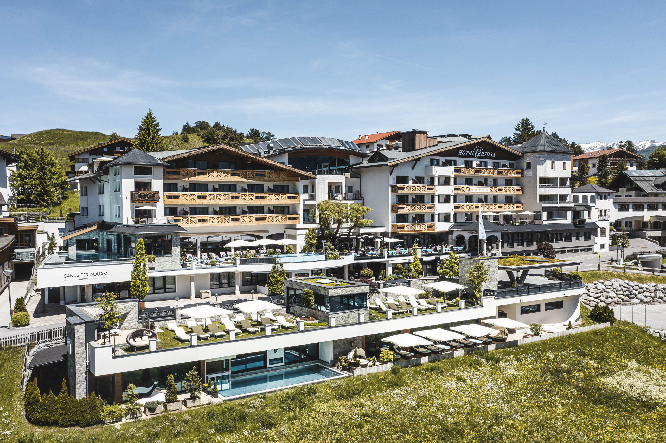
A mountain hut in the Komperdell sector above Serfaus run under the Cervosa name, serving skiers and walkers through the seasons.
Lazidbahn
A gondola in the Serfaus lift network rising to the Lazid ridge above the village, giving access to the high walking trails.
Ascher Hütte
5.3 km away, in Kappl
A mountain hut in the Samnaun group above the village of See at 1,056 m, a full-day walking destination in the lower Paznaun.
Versing Alm
6.9 km away, in Kappl
An alpine pasture above the village of See in the Paznaun valley, where a small hut serves refreshments during the summer grazing months.
Kapelle in Winkl
8.5 km away, in See
A small chapel in the hamlet of Winkl near See, part of the dense scattering of chapels across the lower Paznaun valley.
Kunst & Schmuck Juen
8.6 km away, in See
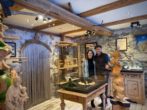
A small gallery and jewellery workshop in the village of See at 1,056 m in the Paznaun valley, combining local art with handcrafted pieces.
Lourdesgrotte in Schusterhaus
8.6 km away, in See
A Lourdes grotto at the Schusterhaus near See in the Paznaun valley, a small devotional site modelled on the French shrine of Lourdes.
Privatkapelle in Oberhaus
8.6 km away, in See
A privately kept chapel at Oberhaus near See in the Paznaun valley, a family-owned devotional building typical of the valley's farm hamlets.
Friedhofs- und Kriegergedächtniskapelle bei der Pfarrkirche
8.6 km away, in See
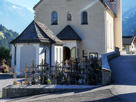
The combined cemetery and war memorial chapel at the parish church of See, honouring the village's dead in the lower Paznaun valley.
Gottesdienste Pfarrkirche See
8.6 km away, in See
The parish church of See at the lower end of the Paznaun valley, where regular services are held for the village and its visitors.
Antoniuskapelle in Gries
8.7 km away, in Kappl
A chapel of St. Anthony in the hamlet of Gries near See, a compact devotional building in the lower Paznaun valley.
Hubertuskapelle
8.8 km away, in See
A chapel dedicated to St. Hubert on the slopes between Kappl and See, one of several hunters' chapels in the Paznaun valley.
Nothing of this kind in Serfaus.
Routes
50 routes, an even mix of activities · see the rest on serfaus-fiss-ladis.at ↗
Quellenweg
Nearly level spring-themed path on the Komperdell above Serfaus, wandering out from the Kölner Haus across plateau meadows where the water sources are signposted.
- 5.6 km
- Distance
- 0 m
- Ascent
- 1 h 43 min
- Duration
- 103
- Check-ins
Fisser Joch zum Lazid
High connection from the Fisser Joch across the plateau to the Lazid top station, passing the Furglersee tarn with the Bergrestaurant Lassida at the finish.
- 10.4 km
- Distance
- 393 m
- Ascent
- 3 h 25 min
- Duration
- 124
- Check-ins
Urgtal vom Komperdell
Long loop from the Komperdell lifts above Serfaus, swinging through the lonely Urgtal and back past the Schöngampalm and the Zirbenhütte - 20 km of high trail.
- 20.3 km
- Distance
- 1 226 m
- Ascent
- 8 h 29 min
- Duration
- 124
- Check-ins
Route 6 - Komperdell
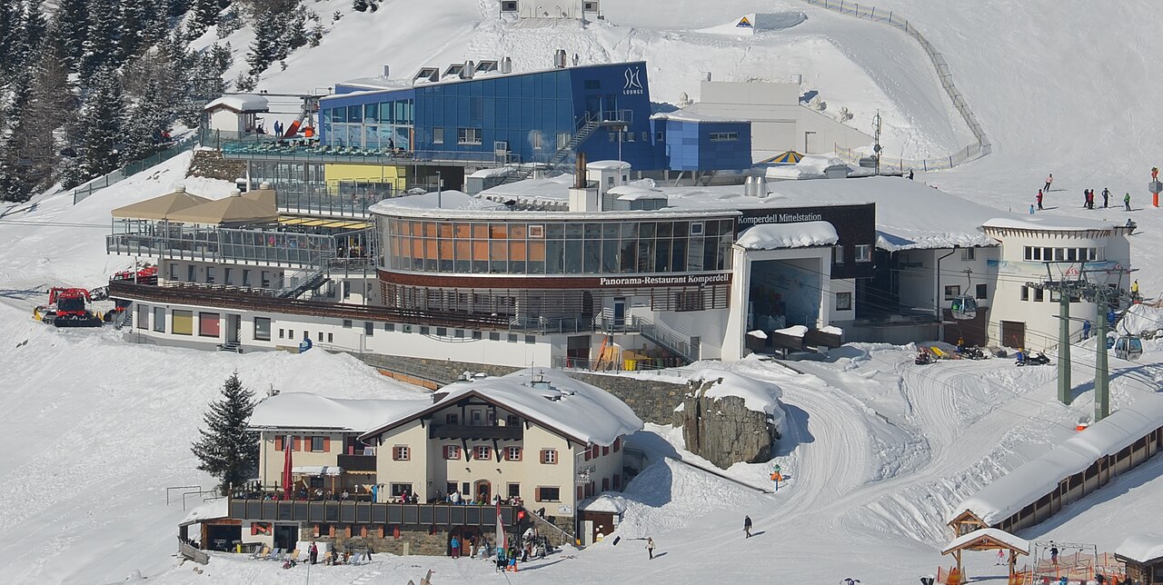
Designated uphill route in the Serfaus ski area climbing gently to the Panoramarestaurant Komperdell, a short first tour alongside the pistes.
- 2.8 km
- Distance
- 325 m
- Ascent
- 325 m
- Descent
- 1 h 12 min
- Duration
- 23
- Check-ins
Route 4 - Sattelkopf
Punchier marked route to the Sattelkopf, packing nearly 500 m of climbing into 2.3 km on the way up to the Sunliner top station.
- 2.3 km
- Distance
- 484 m
- Ascent
- 484 m
- Descent
- 1 h 33 min
- Duration
- 14
- Check-ins
Pistenskitouren Serfaus-Fiss-Ladis
Grand link-up of the marked piste touring routes across Serfaus, Fiss and Ladis - more than 2,000 m of skinning for a full winter fitness day.
- 22.5 km
- Distance
- 2 084 m
- Ascent
- 2 084 m
- Descent
- 8 h 13 min
- Duration
- 3
- Check-ins
Jochtrail 7115
A long, easy descent from the Fisser Joch at 2,434 m over the Mittlerer Sattelkopf down to the Kölner Haus.
- 5.8 km
- Distance
- 24 m
- Ascent
- 32 min
- Duration
- 103
- Check-ins
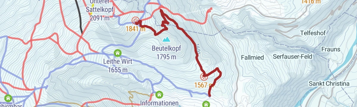
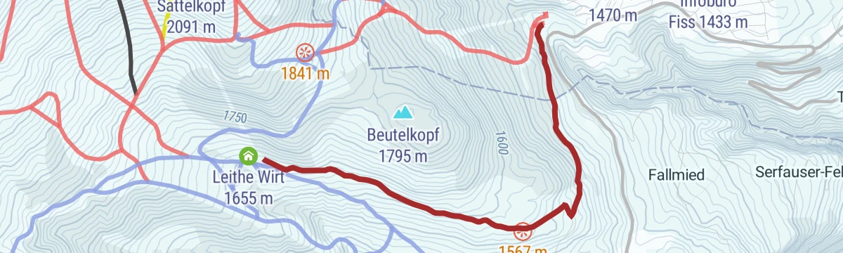
Beutlkopf Tour 7112
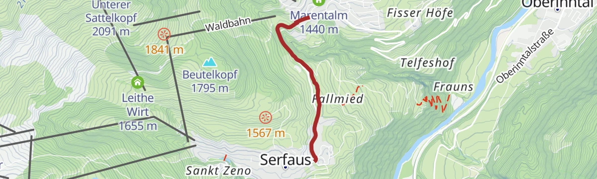
A climb from Serfaus at 1,436 m to the Möseralm at 1,810 m, passing the Marentalm and Leithe Wirt on the way up.
- 12.1 km
- Distance
- 556 m
- Ascent
- 1 h 36 min
- Duration
- 42
- Check-ins
SFL Extrem Tour 7100
Nearly 2,400 m of climbing across the Serfaus-Fiss-Ladis slopes, over the Fisser Joch and up to the Schönjöchl at 2,491 m.
- 57.3 km
- Distance
- 2 369 m
- Ascent
- 7 h 19 min
- Duration
- 133
- Check-ins
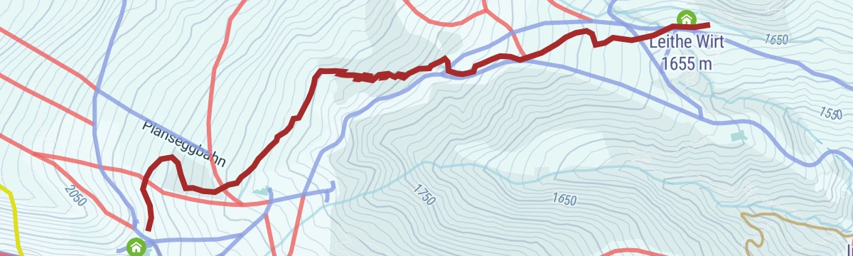
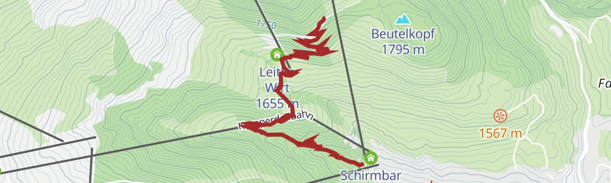
Schleck Track
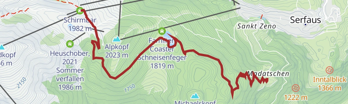
A climb of just over 200 m in under 2 km from Serfaus up to Leithe Wirt, beside the Königsleithebahn at about 1,650 m.
- 1.8 km
- Distance
- 213 m
- Ascent
- 29 min
- Duration
- 10
- Check-ins
St. Anton - Kaunertaler Gletscher - St. Anton
A 104 km road ride from the Arlberg across to the Kaunertal and up the glacier road to 2,750 m, over 4,000 m of climbing in the day.
- 156.4 km
- Distance
- 4 157 m
- Ascent
- 17 h 48 min
- Duration
- 86
- Check-ins
Murmeltiersteig
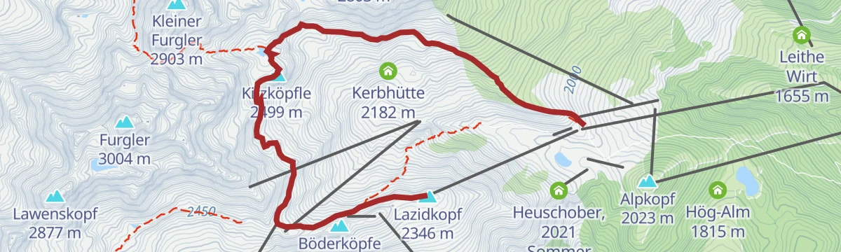
Marmot-watching path above Serfaus crossing the Lazidkopf and Kitzköpfle toward the Furglersee, with the Kölner Haus and the Lassida restaurant at either end.
- 6.9 km
- Distance
- 214 m
- Ascent
- 2 h 33 min
- Duration
- 83
- Check-ins
Fisser Joch über Leithe Wirt nach Fiss
Descending panorama route from the Fisser Joch by way of the Leithe Wirt and the Komperdell restaurants back to Fiss, with the lifts doing the climbing.
- 11.5 km
- Distance
- 63 m
- Ascent
- 2 h 51 min
- Duration
- 119
- Check-ins
Hinterer Heuberg (2.578 m) vom Komperdell
From the Komperdell lifts above Serfaus a long approach over the Gadratschjoch to a 2,578 m summit away from the crowds, returning past the Lassida.
- 14.3 km
- Distance
- 1 221 m
- Ascent
- 7 h 45 min
- Duration
- 97
- Check-ins
Einstieg Sunliner - Routen 3a, 5a und 6a
Short connector skin from the Sunliner lift into Serfaus's marked touring network, feeding routes 3, 5 and 6 near the Leithe Wirt.
- 1.3 km
- Distance
- 215 m
- Ascent
- 215 m
- Descent
- 43 min
- Duration
- 15
- Check-ins
Route 5 - Plansegg
Steeper marked touring route to the Plansegg, gaining 700 m beside the Serfaus pistes with the Leithe Wirt as the refreshment stop.
- 3.5 km
- Distance
- 718 m
- Ascent
- 718 m
- Descent
- 2 h 18 min
- Duration
- 9
- Check-ins
Alpkopftrail 7110
A short, easy trail from the top of the Alpkopfbahn at 2,044 m down past the Sportalm above Serfaus.
- 2.6 km
- Distance
- 0 m
- Ascent
- 14 min
- Duration
- 25
- Check-ins
Bifang Tour 764
A short tour above Serfaus between the Waldbahn base and Leithe Wirt at 1,655 m, with a little over 350 m of climbing.
- 10.7 km
- Distance
- 367 m
- Ascent
- 1 h 17 min
- Duration
- 10
- Check-ins
SFL Extrem Enduro Tour 7100
A big enduro traverse across the Fisser Joch and the Schönjoch, both near 2,450 m, with over 2,000 m of climbing in the day.
- 52.3 km
- Distance
- 1 825 m
- Ascent
- 6 h 22 min
- Duration
- 125
- Check-ins
Finesweg - beleuchteter Radweg
A short lit cycle path on the edge of Fiss, rideable after dark and gentle enough for an evening family spin.
- 2.2 km
- Distance
- 31 m
- Ascent
- 13 min
- Duration
Norbertshöhe Tour
A road circuit over the Norbertshöhe and the Finstermünz pass, past the Via Claudia reservoir.
- 77.4 km
- Distance
- 2 163 m
- Ascent
- 8 h 54 min
- Duration
- 39
- Check-ins
Furglersee (2.459 m) vom Lazid
An easy high route from the Lazid cable-car station across the plateau to the Furglersee at 2,459 m, with the Kölner Haus and its restaurants for the return.
- 6.8 km
- Distance
- 253 m
- Ascent
- 2 h 13 min
- Duration
- 83
- Check-ins
Gratwanderung
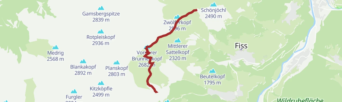
Ridge walk from the Komperdell over the Sattelkopf summits to the Vorderer Brunnenkopf, tracing the crest between Serfaus and the Urgtal.
- 6.6 km
- Distance
- 749 m
- Ascent
- 3 h 37 min
- Duration
- 111
- Check-ins
Fisser Joch über Urgtalweg
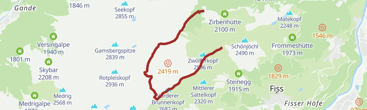
Urgtal horseshoe finishing at the Fisser Joch: past the Schöngampalm to the Urgsee and the Urgalpe, then up over the Brunnenjoch to the ridge.
- 9.5 km
- Distance
- 943 m
- Ascent
- 5 h 48 min
- Duration
- 91
- Check-ins
Route 3 - Königsleithe
Shortest of Serfaus's marked ski-touring routes, a quick 175 m rise to the Königsleithe near the Sunliner top station - handy for repeat laps.
- 1.4 km
- Distance
- 175 m
- Ascent
- 175 m
- Descent
- 38 min
- Duration
- 14
- Check-ins
Route 1 - Waldbahn
Forest-line touring route beside the Waldbahn in Serfaus, a moderate 400 m climb on a marked track up to the Sunliner top station.
- 4.2 km
- Distance
- 424 m
- Ascent
- 424 m
- Descent
- 1 h 37 min
- Duration
- 5
- Check-ins
Högtrail 7081
An easy trail on the Komperdell shelf around 1,810 m, running from the Alpkopfbahn mid-station past the Seealm Hög.
- 3.8 km
- Distance
- 0 m
- Ascent
- 20 min
- Duration
- 15
- Check-ins
Akklimatisierungstour 765
A short warm-up loop above Fiss on easy forest roads, running out to the Marentalm and back past the Pedrus lift.
- 7.7 km
- Distance
- 275 m
- Ascent
- 56 min
- Duration
- 8
- Check-ins
Lazidkopf Enduro Tour 7102
An enduro circuit above Serfaus, climbing by the Kölner Haus to the mountain restaurant at 2,343 m and dropping to the Leithe Wirt.
- 27.3 km
- Distance
- 997 m
- Ascent
- 3 h 22 min
- Duration
- 119
- Check-ins
Pfunds Runde
A road loop down the Oberinntal to Ried at 875 m and back up through Ladis and Fiss, with a little over 1,000 m of climbing.
- 44.4 km
- Distance
- 1 061 m
- Ascent
- 4 h 57 min
- Duration
- 6
- Check-ins
 Geigaloch Apres Ski 1 216 m
- Infobüro Fiss 1 189 m
- Infobüro Ried 875 m
 Weiher Überwasser 1 276 m
Panorama-Genussweg
A leisurely high path around the Komperdell bowl above Serfaus, linking the Möseralm and Kölner Haus with benches and wide views over the upper Inn.
- 6.1 km
- Distance
- 54 m
- Ascent
- 1 h 42 min
- Duration
- 58
- Check-ins
Fiss über Unterer Sattelkopf
From the Fisser Joch over the Unterer Sattelkopf and down via the Möseralm to Fiss, a mostly descending mountain-path alternative to the direct trail.
- 10.9 km
- Distance
- 361 m
- Ascent
- 3 h 27 min
- Duration
- 100
- Check-ins
Furgler (3.004 m) vom Komperdell
The direct route to Serfaus's 3,004 m local giant: from the Komperdell past the Furglersee and over the Furglerjoch, 1,000 m up to a summit panorama of the Ötztal and Silvretta ranges.
- 5.2 km
- Distance
- 1 016 m
- Ascent
- 5 h 40 min
- Duration
- 47
- Check-ins
Einstieg Hotel Bär - Routen 3b, 5b und 6b
Alternative access skin starting at the Hotel Bär in Serfaus, joining touring routes 3, 5 and 6 by the Leithe Wirt after 200 easy metres of climbing.
- 1.7 km
- Distance
- 201 m
- Ascent
- 201 m
- Descent
- 44 min
- Duration
- 9
- Check-ins
Route 1a - Hotel Bär/Waldbahn
Variant start of the Waldbahn touring route from the Hotel Bär, a moderate marked climb through the woods to the Sunliner top station.
- 3.6 km
- Distance
- 376 m
- Ascent
- 376 m
- Descent
- 1 h 25 min
- Duration
- 5
- Check-ins
Leithetrail 7128
An easy descent from 1,655 m down to the Komperdellbahn valley station at Serfaus, ending among the lifts at 1,438 m.
- 3.9 km
- Distance
- 19 m
- Ascent
- 22 min
- Duration
- 15
- Check-ins
Komperdell Lassida Enduro Tour
An enduro loop from Fiss over towards the Lazidkopf, climbing past the Kölner Haus and the Schalber Alm to the terrace at 2,343 m.
- 26.9 km
- Distance
- 999 m
- Ascent
- 3 h 20 min
- Duration
- 114
- Check-ins
Talrunde
A valley circuit in the Oberinntal between Ried and Prutz, passing the campsite at the Dreiländereck and the lake restaurant at 883 m.
- 42.9 km
- Distance
- 750 m
- Ascent
- 4 h 31 min
- Duration
- 6
- Check-ins
Almpromenade
A flat promenade lap on the Komperdell alp floor above Serfaus, passing the Schalber Alm and Kölner Haus — mountain scenery with almost no climbing.
- 1.4 km
- Distance
- 32 m
- Ascent
- 24 min
- Duration
- 51
- Check-ins
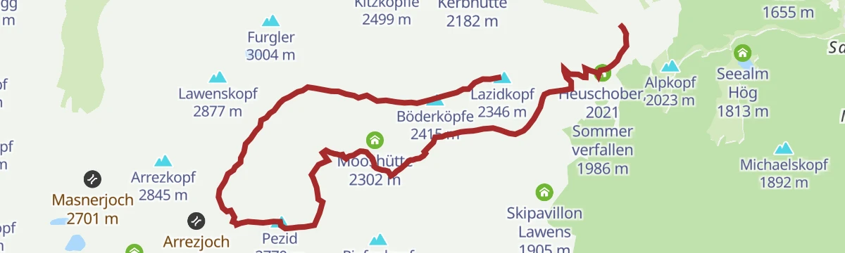
Pezid (2.770 m) vom Lazid
From the Lazid station over the Gadratschjoch to the Pezid, a 2,770 m summit on the Samnaun ridge above Serfaus with a long but moderate approach.
- 12.1 km
- Distance
- 590 m
- Ascent
- 4 h 21 min
- Duration
- 96
- Check-ins
Rotpleiskopf (2.936 m) vom Komperdell
Direct 1,000 m ascent from the Komperdell over the Urgjoch and the Kübelgrubenscharte to a 2,936 m summit overlooking the Urgsee basin.
- 5.5 km
- Distance
- 1 019 m
- Ascent
- 5 h 43 min
- Duration
- 37
- Check-ins
Route 2 - Leithe Wirt
Gentle marked touring lap in Serfaus finishing at the Leithe Wirt hut, an easy 250 m climb suited to beginners and quick repeat rounds.
- 3.0 km
- Distance
- 257 m
- Ascent
- 257 m
- Descent
- 1 h 4 min
- Duration
- 9
- Check-ins
Bifitrail 7126
An easy, family-grade trail from the Sunliner top station at 1,830 m down the slope towards Serfaus.
- 6.2 km
- Distance
- 20 m
- Ascent
- 34 min
- Duration
- 5
- Check-ins
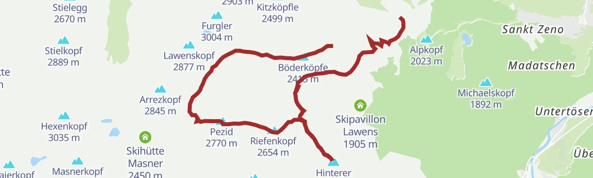
Hexenseehütte Enduro Tour 7096
An enduro round above Serfaus over the Lazidkopf and the Böderköpfe, climbing past the Kölner Haus to Lassida at 2,343 m.
- 20.8 km
- Distance
- 1 072 m
- Ascent
- 2 h 58 min
- Duration
- 109
- Check-ins
Six-Senses-Weg
A themed path around the Hög area above Serfaus with stations that play on the senses, an easy round past the Speicherteich Hög and the alp restaurants.
- 6.5 km
- Distance
- 11 m
- Ascent
- 1 h 60 min
- Duration
- 50
- Check-ins
Furglersee (2.459 m) vom Komperdell
A steady climb from the Komperdell mid-station to the Furglersee, a clear tarn at 2,459 m beneath the Furgler — the classic lake hike on the Serfaus side.
- 6.9 km
- Distance
- 587 m
- Ascent
- 3 h 44 min
- Duration
- 87
- Check-ins
Lazid über Rieserweg
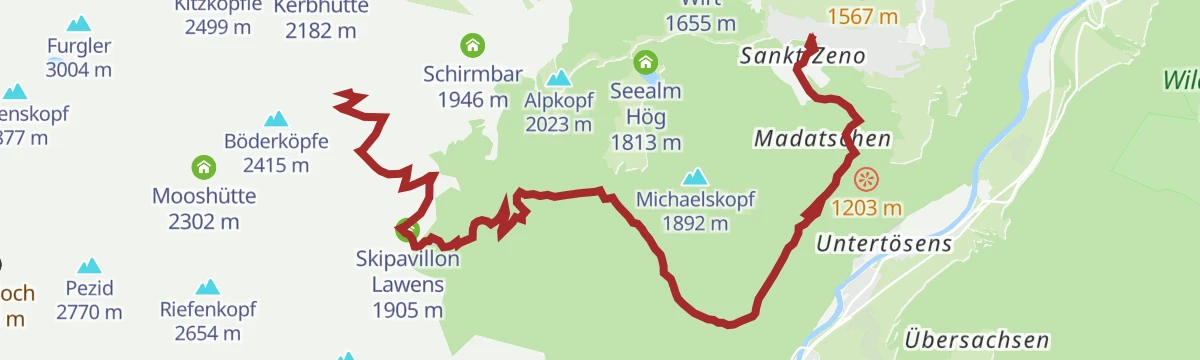
A demanding ascent from Serfaus to the Lazidkopf, passing the Bergrestaurant Lassida and the Skipavillon Lawens near the top; the Lazid cable car offers an easy return to the village.
- 12.2 km
- Distance
- 1 163 m
- Ascent
- 5 h 33 min
- Duration
- 35
- Check-ins
Finesweg - beleuchteter Radweg
A short, lit path on the edge of Serfaus, gentle enough to ride with children after dark.
- 2.2 km
- Distance
- 50 m
- Ascent
- 15 min
- Duration
Hexenseehütte Tour 7096
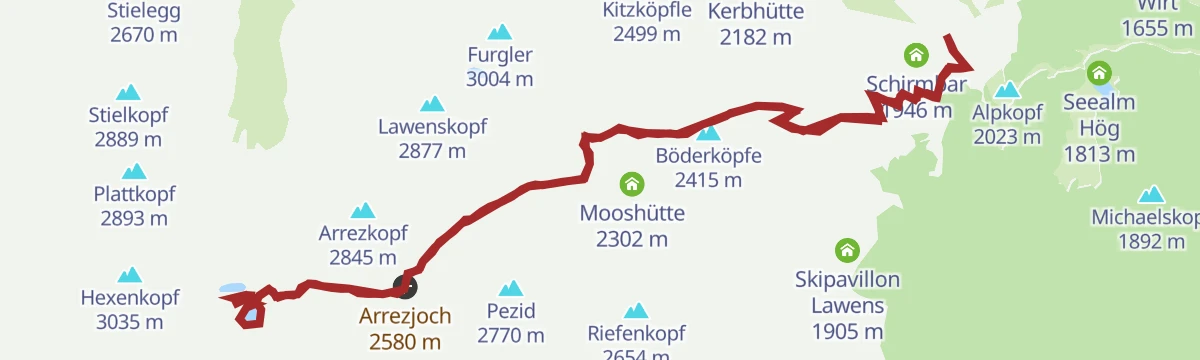
A hard climb from Komperdell over the Arrezjoch at 2,580 m to the hut just beyond, the high point of the Serfaus trail network.
- 20.0 km
- Distance
- 1 219 m
- Ascent
- 3 h 12 min
- Duration
- 89
- Check-ins
Waalweg zum Leithe Wirt
A level walk along an old irrigation channel from the Komperdell area to the Leithe Wirt inn — shady, gently graded and well suited to hot afternoons.
- 5.1 km
- Distance
- 0 m
- Ascent
- 1 h 41 min
- Duration
- 49
- Check-ins
No routes of this kind in Serfaus yet.
The region's own picks
Featured route
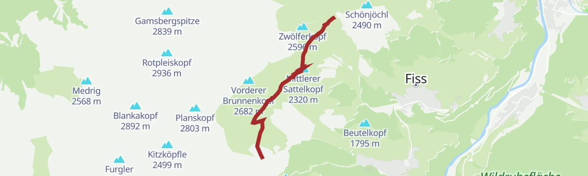
Quellenweg
Nearly level spring-themed path on the Komperdell above Serfaus, wandering out from the Kölner Haus across plateau meadows where the water sources are signposted.
Planning a trip to Serfaus?
Everything else Tyrol has, in one place


Take Serfaus with you into the mountains
Every route on this page with 3D terrain, GPX navigation and offline maps — including the valleys with no signal.
Data sources
- Official website: serfaus-fiss-ladis.at ↗
- Routes and highlights: Serfaus-Fiss-Ladis, TVB Paznaun-Ischgl, St. Anton am Arlberg
- Published as open data by the tourist boards named above.
- Region summary generated from the board's own material.
