
 Mountain hut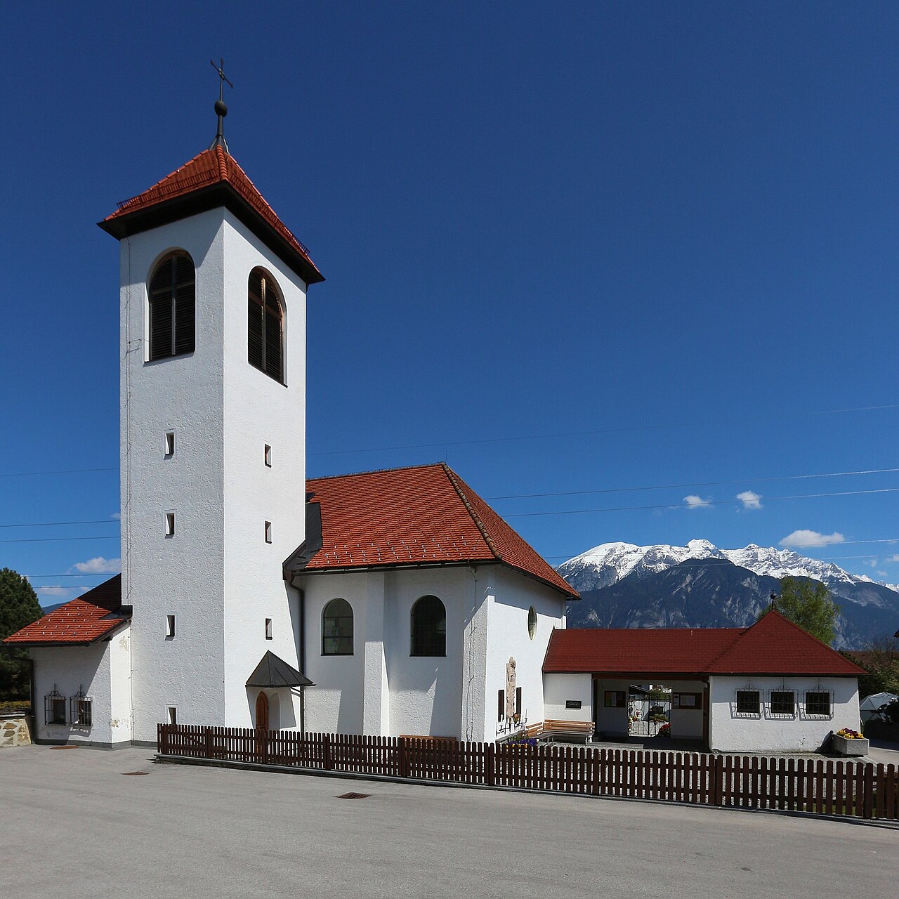
 Historic site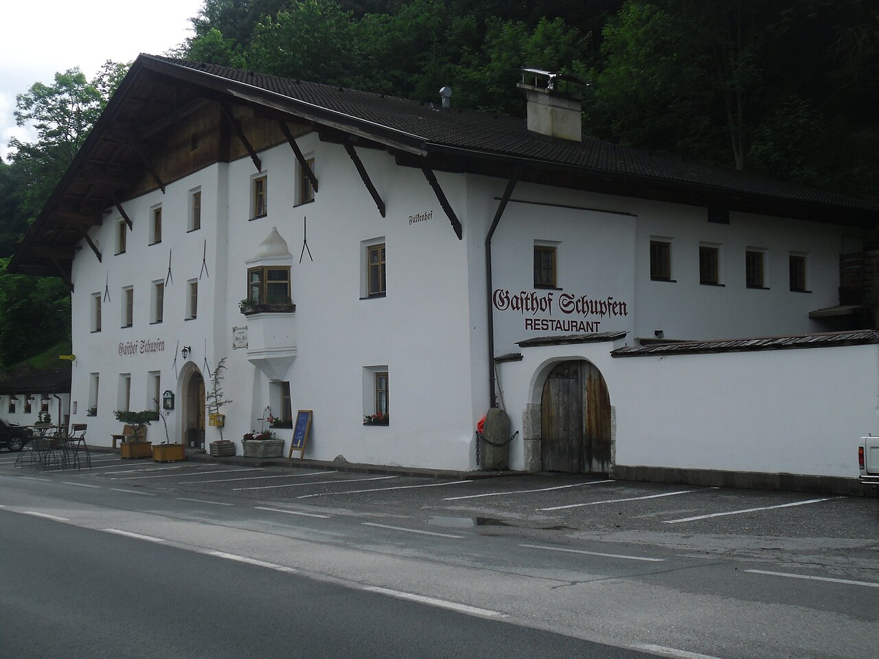
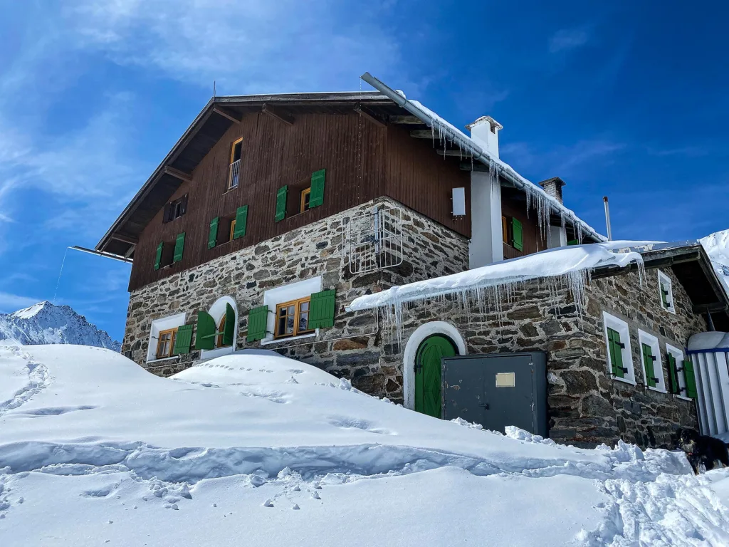
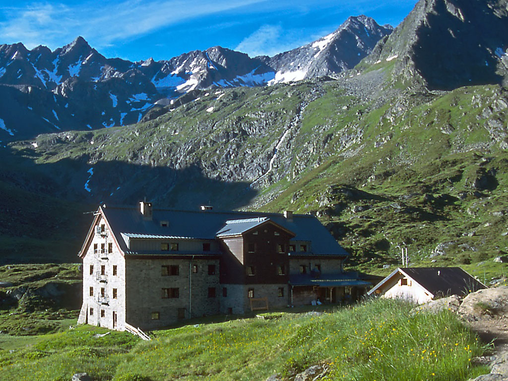
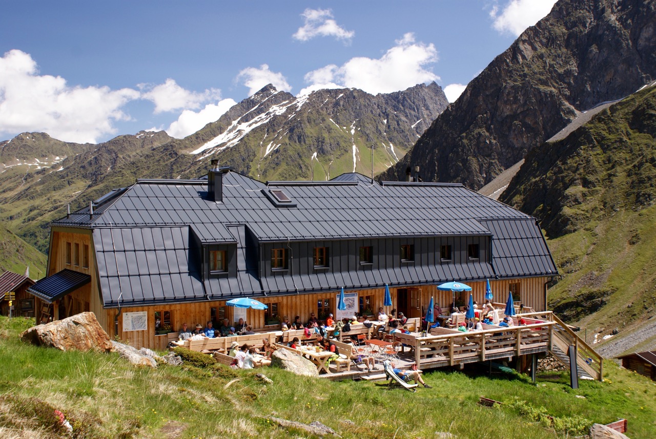
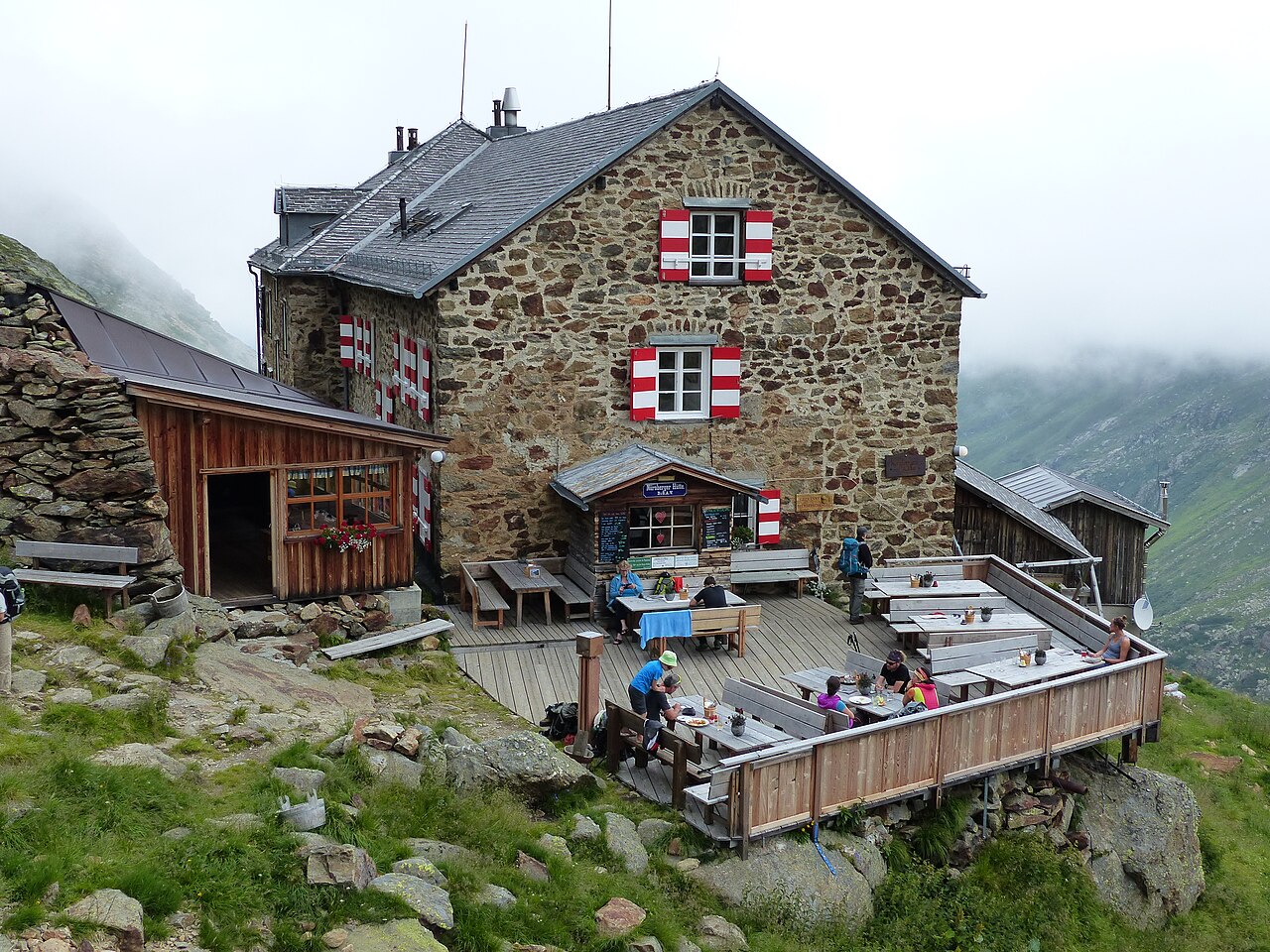





Curated by Innsbruck Tourismus
Sellrain
The valley's namesake village at 908 m where the Fotschertal joins the Sellraintal, farm slopes below the protected quiet zone of the Kalkkögel.
- 15Highlights
- 20Routes
- Featured summit · Grieskogel
Highlights
All 15 from neighbouring places
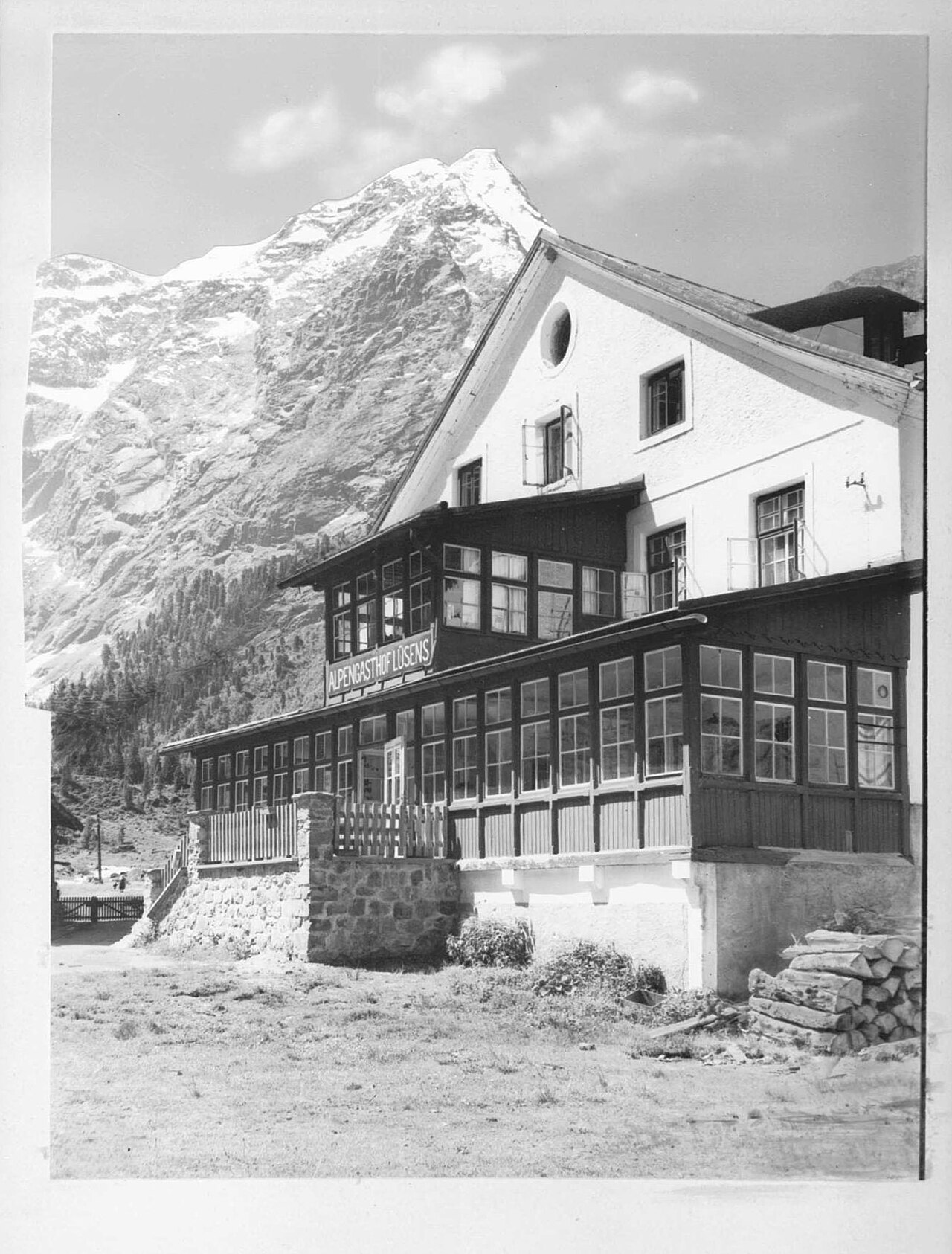
Alpengasthof Lüsens
6.8 km away, in St. Sigmund im Sellrain
An alpine inn at Lüsens in the innermost Sellrain valley above St. Sigmund, a traditional base for walks and ski tours toward the Lüsener Fernerkogel.
Mooskapelle in Grinzens
7.9 km away, in Grinzens
A small chapel in the meadows near Grinzens, a wayside devotional stop in the villages on the terrace southwest of Innsbruck.
Gasthof Ruetz
8.2 km away, in St. Sigmund im Sellrain
A traditional inn at St. Sigmund im Sellrain, a refreshment and overnight stop for walkers and ski tourers in the Sellrain valley.
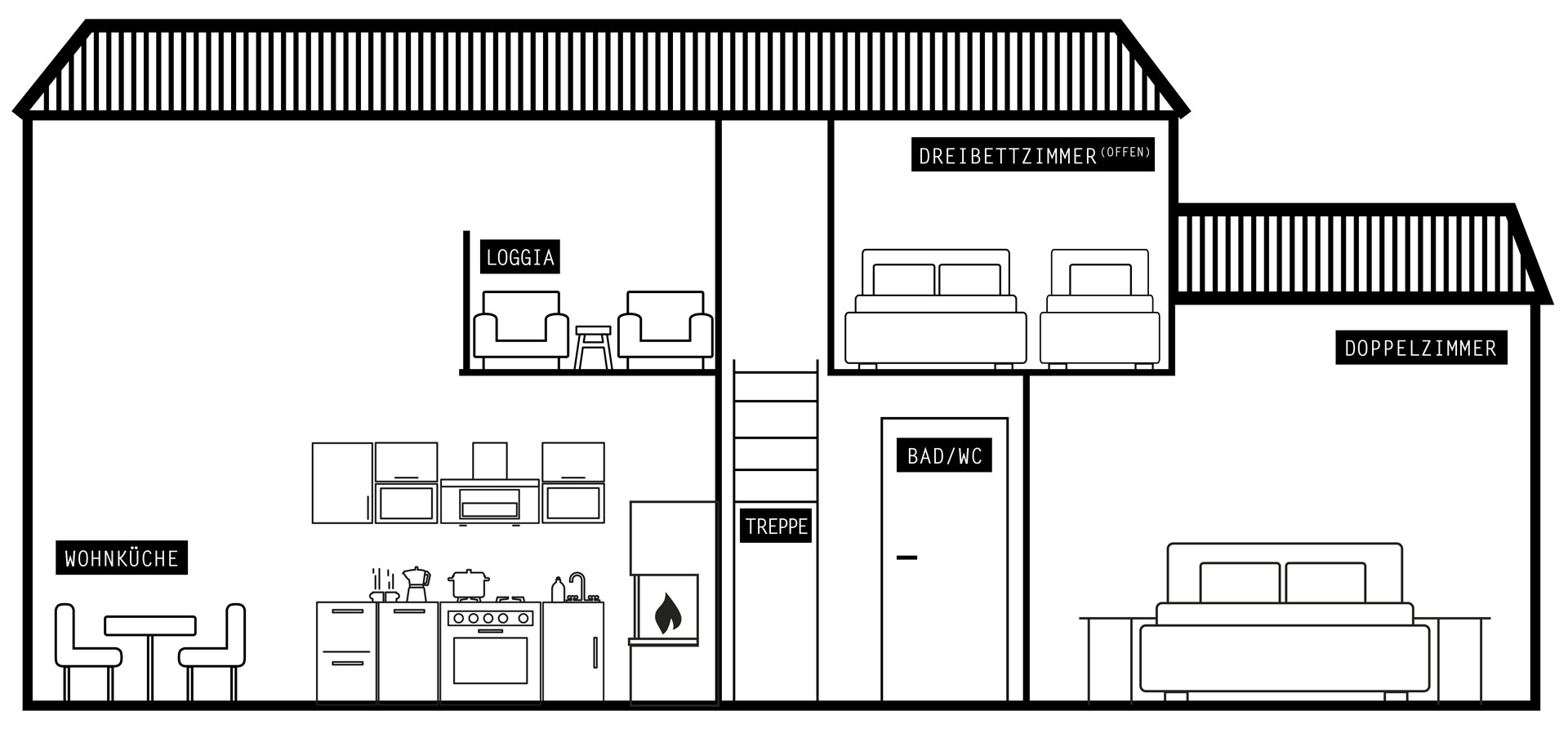
Ausserwieserhof Kaser
8.3 km away, in Neustift im Stubaital
A rustic hut, or Kaser, belonging to the Ausserwieserhof farm above Neustift, rented out as a simple mountain retreat.
Pforzheimer Hütte
9.9 km away, in St. Sigmund im Sellrain
An Alpine Club hut in the Gleirsch valley above St. Sigmund im Sellrain, a base for summit tours and ski touring in the Stubai Alps.
Franz-Senn-Hütte
10.2 km away, in Neustift im Stubaital
A large Alpine Club hut at 2,147 m in the Oberbergtal above Neustift, a stage on the Stubai High Trail and a base for glacier tours and climbing courses.
Westfalenhaus
10.6 km away, in St. Sigmund im Sellrain
A high mountain hut above St. Sigmund im Sellrain, a base for summit tours and crossings in the northern Stubai Alps.
Nürnberger Hütte
10.7 km away, in Neustift im Stubaital
An Alpine Club hut at about 2,280 m in the Langental at the rear of the Stubaital, a Stubai High Trail stage and a base for the Wilder Freiger.
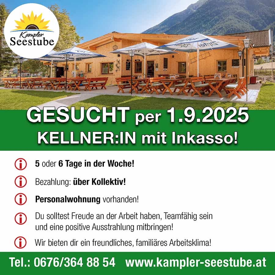
Kampler Seestube 1.000m
11.4 km away, in Neustift im Stubaital
A restaurant at about 1,000 m on the shore of the Kampler See near Neustift, serving bathers and cyclists on the valley route.
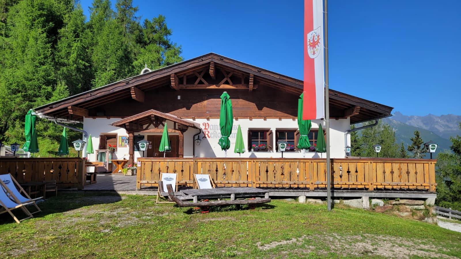
Panoramarestaurant Elfer 1.812m
12.5 km away, in Neustift im Stubaital
A panorama restaurant at 1,812 m by the Elfer lifts' top station above Neustift, with terrace views along the Stubaital.
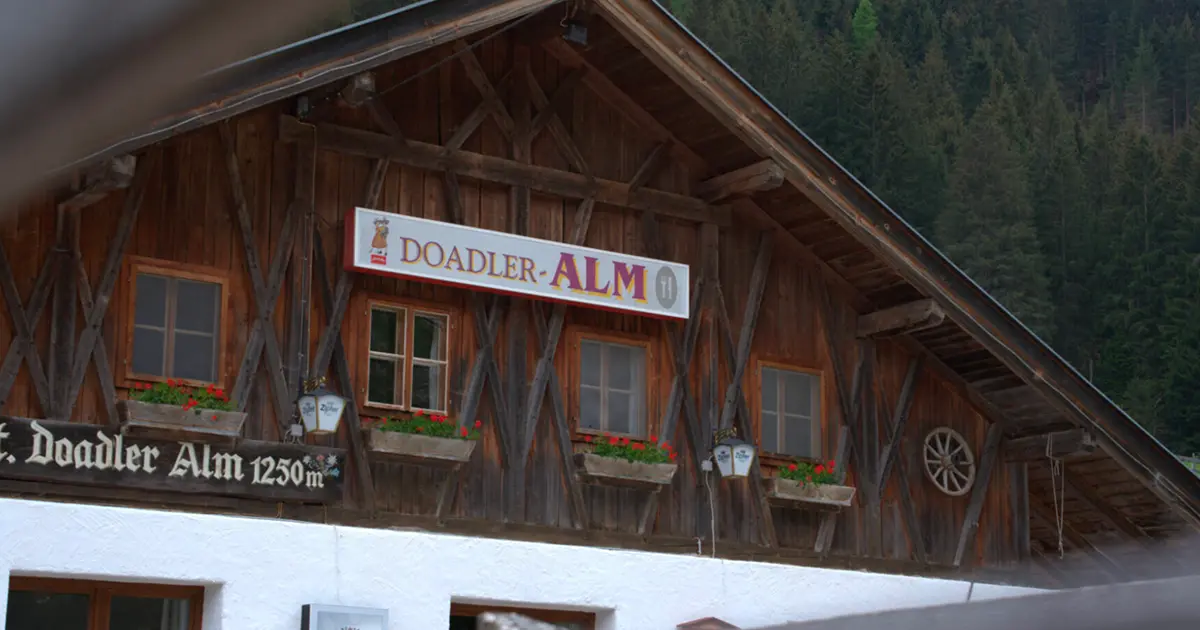
Doadler Alm 1.250m
14.5 km away, in Neustift im Stubaital
A pasture hut at 1,250 m in the upper Stubaital above Neustift, an easy walk up from the valley floor near Falbeson.
Schlickeralm 1.643m
8 km away, in Telfes im Stubai
A working pasture hut at 1,643 m in the Schlick 2000 walking area, serving its own dairy produce below the Kalkkögel.
Birgitzer Alm
8.8 km away, in Birgitz
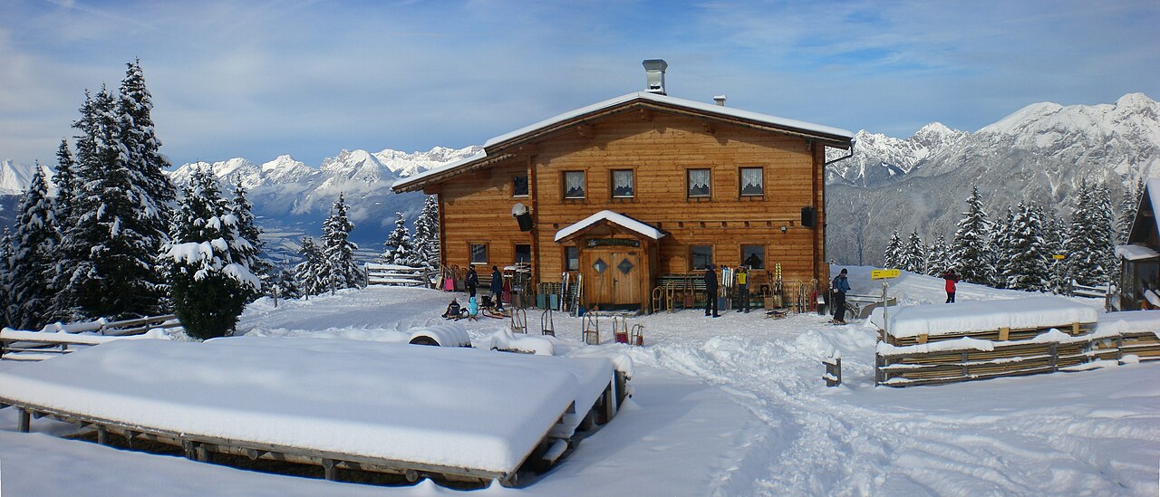
An alpine pasture hut above Birgitz (859 m) on the slopes toward the Kalkkögel, a destination for walkers in summer and tobogganers in winter.
Pfarrkirche Ranggen
9.1 km away, in Ranggen
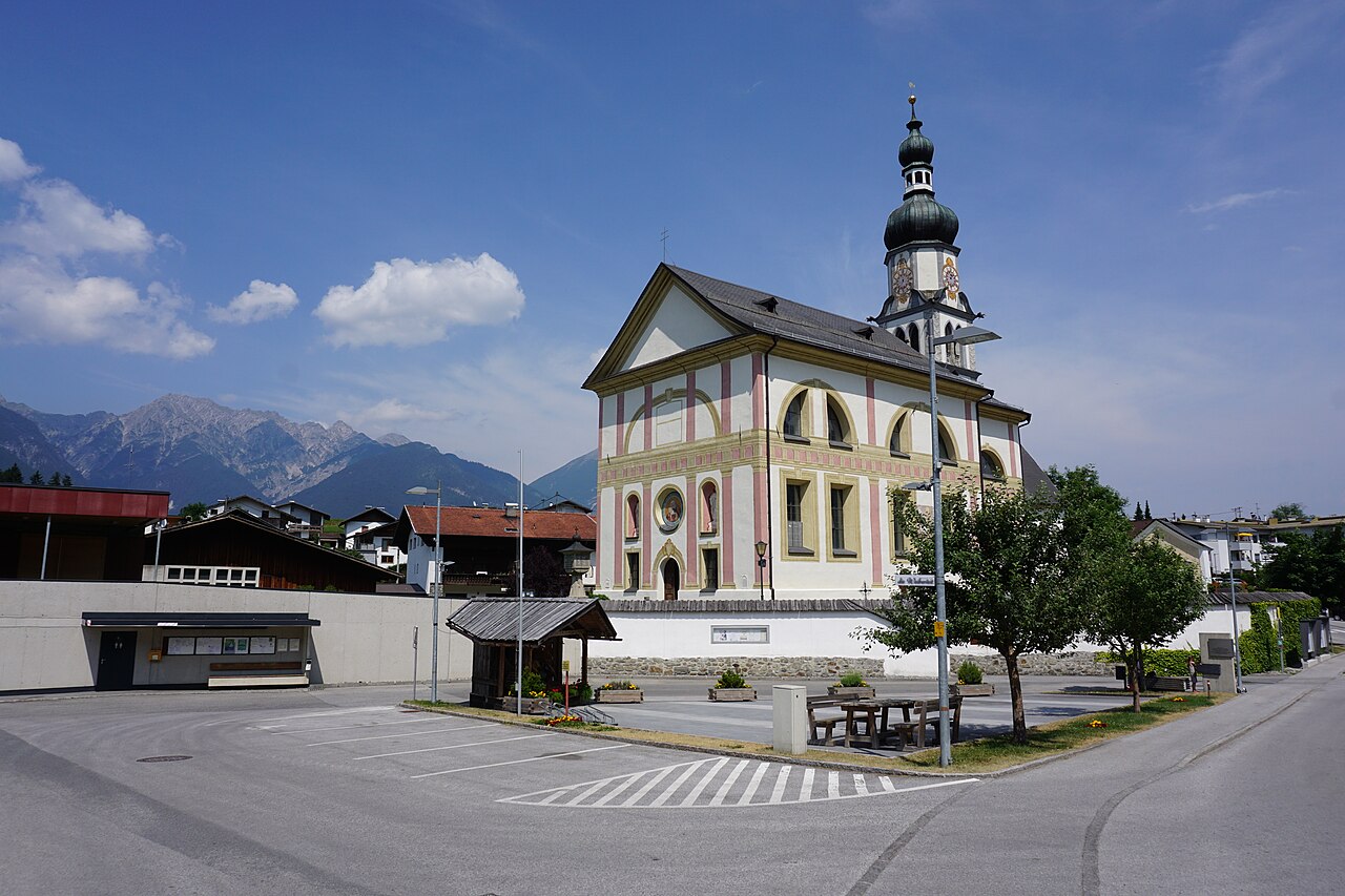
The parish church of Ranggen (826 m), the landmark of a small farming village in the hills west of Innsbruck.
Pfarrkirche St. Viktor & Magdalena
10.4 km away, in Kematen in Tirol
The parish church of Kematen in Tirol (610 m), dedicated to St. Victor and St. Magdalene, near the mouth of the Sellrain valley.
Nothing of this kind in Sellrain.
Routes
Juifenalm (25)
Steady climb out of the Sellrain valley on forest tracks to the Juifenalm, a working alm perched high above the valley floor.
- 9.5 km
- Distance
- 592 m
- Ascent
- 4 h 4 min
- Duration
- 3
- Check-ins
Sellrainer Hüttenrunde: 7. Etappe
Closing stage of the Sellrain hut round, coming down from the high country into Kühtai past the Dortmunder Hütte and on down the valley - nearly 25 km of trail.
- 24.7 km
- Distance
- 973 m
- Ascent
- 8 h 12 min
- Duration
- 64
- Check-ins
Juifenalm - Skitour
Popular ski tour from the Sellraintal up to the Juifenalm, a short, moderate ascent that suits early season and half-day outings.
- 4.9 km
- Distance
- 596 m
- Ascent
- 596 m
- Descent
- 2 h 9 min
- Duration
- 3
- Check-ins
Schaflegerkogel vom Fotschertal
Demanding ski tour through the Fotschertal past the Weidenalm onto the Schaflegerkogel, gaining almost 1,300 m to a panoramic summit.
- 9.5 km
- Distance
- 1 298 m
- Ascent
- 1 298 m
- Descent
- 4 h 33 min
- Duration
- 4
- Check-ins
Von Innsbruck nach Kühtai
A long road ride out of the Inn valley, climbing to the saddle at 2,017 m with the Dortmunder Hütte just below it.
- 106.6 km
- Distance
- 1 930 m
- Ascent
- 11 h 16 min
- Duration
- 86
- Check-ins
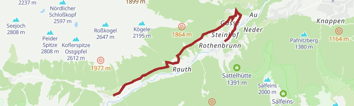
Wanderung Seigesalm
Long hike in the Sellrain mountains up to the Saigesalm and on past the Sattelalm, with steady climbing on farm tracks and paths.
- 14.6 km
- Distance
- 780 m
- Ascent
- 5 h 36 min
- Duration
- 1
- Check-ins
Sellrainer Hüttenrunde: 2. Etappe
Second stage of the Sellrainer Hüttenrunde from the Potsdamer Hütte over the Roter Kogel down to Lüsens and up the Längental to the Westfalenhaus; a long, committing day.
- 15.9 km
- Distance
- 1 490 m
- Ascent
- 9 h 17 min
- Duration
- 21
- Check-ins
Hühnereggen
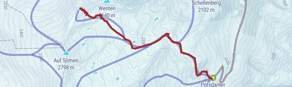
Compact ski tour above the Fotschertal to the Hühnereggen, following the approach past the Potsdamer Hütte before the open summit slopes.
- 4.2 km
- Distance
- 715 m
- Ascent
- 715 m
- Descent
- 2 h 23 min
- Duration
- 2
- Check-ins
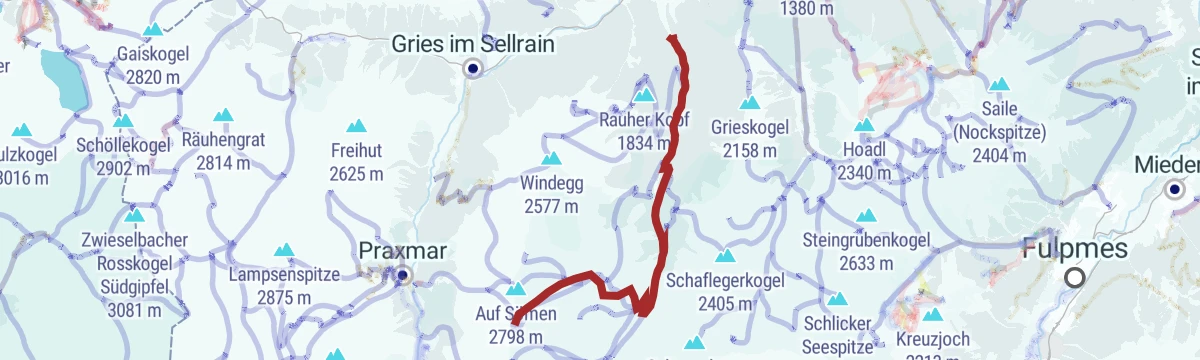
Sömen
Serious ski tour onto Auf Sömen that packs roughly 1,700 m of climbing into a few kilometres, a leg-burner reserved for fit, experienced tourers.
- 11.5 km
- Distance
- 1 704 m
- Ascent
- 1 704 m
- Descent
- 5 h 51 min
- Duration
- 4
- Check-ins
Innsbruck - Lüsens
A long out-and-back from the Inn valley up the Sellraintal, past the Kaiser Ferdinand waterfalls to the Lüsener Alm at 1,631 m.
- 74.5 km
- Distance
- 1 654 m
- Ascent
- 8 h 10 min
- Duration
- 9
- Check-ins
St. Quirin - Zu-/Abstieg Höhenwanderweg
Steep connector path from St. Quirin up to the Sellrain high-level trail, gaining over 700 m in barely three kilometres of switchbacks.
- 3.4 km
- Distance
- 744 m
- Ascent
- 4 h 6 min
- Duration
Kammwanderung im Fotschertal(15)
Long ridge traverse above the Fotschertal taking in the Grieskogel, Schaflegerkogel, Breitschwemmkogel and Angerbergkopf, with alm huts for rest stops on the descent.
- 19.0 km
- Distance
- 1 431 m
- Ascent
- 9 h 21 min
- Duration
- 15
- Check-ins
Roter Kogel von Moos
Direct ski tour from Moos in the Sellraintal past the Aflinger Alm to the Roter Kogel, packing over 1,200 m of climbing into 4 km.
- 4.3 km
- Distance
- 1 221 m
- Ascent
- 1 221 m
- Descent
- 3 h 43 min
- Duration
- 3
- Check-ins
Sellrain - Potsdamer Hütte
Full-day route from Sellrain village through the Fotschertal, passing the Weidenalm on the long approach to the Potsdamer Hütte.
- 20.1 km
- Distance
- 1 112 m
- Ascent
- 7 h 54 min
- Duration
- 5
- Check-ins
Fotscher Windegg
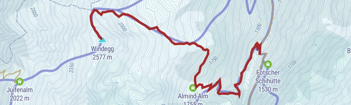
Classic Sellrain ski tour through the Fotschertal onto the Windegg, with a steady skin track past the Bergrettungshütte and open slopes above the treeline.
- 6.8 km
- Distance
- 1 131 m
- Ascent
- 1 131 m
- Descent
- 3 h 47 min
- Duration
- 2
- Check-ins
Sellrainer Hüttenrunde: 1. Etappe
Opening stage of the Sellrainer Hüttenrunde, climbing from the valley past the Weidenalm and Hintra Alm to an overnight at the Potsdamer Hütte.
- 9.3 km
- Distance
- 1 087 m
- Ascent
- 6 h 30 min
- Duration
- 2
- Check-ins
Roter Kogel
Big ski tour past the Potsdamer Hütte onto the Roter Kogel, around 1,700 m of ascent through the Fotscher valley to one of Sellrain's noted viewpoints.
- 12.5 km
- Distance
- 1 745 m
- Ascent
- 1 745 m
- Descent
- 6 h 5 min
- Duration
- 2
- Check-ins
Sellraintaler Besinnungsweg
Long themed walk along the Sellraintal whose stations invite quiet reflection, linking the valley villages over woodland and meadow paths.
- 18.3 km
- Distance
- 990 m
- Ascent
- 7 h 4 min
- Duration
Sömen von Moos
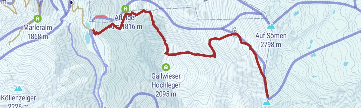
Steep ski tour from Moos near Gries im Sellrain, gaining almost 1,200 m past the Aflinger Alm to the Sömen summit slopes — one for settled snow and strong legs.
- 3.6 km
- Distance
- 1 176 m
- Ascent
- 1 176 m
- Descent
- 3 h 30 min
- Duration
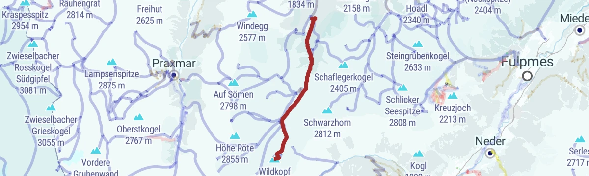
Wildkopf
Committing ski tour past the Hintra Alm onto the Wildkopf, climbing nearly 1,300 m through increasingly open alpine terrain.
- 7.8 km
- Distance
- 1 291 m
- Ascent
- 1 291 m
- Descent
- 4 h 20 min
- Duration
No routes of this kind in Sellrain yet.
The region's own picks

Featured route
Juifenalm (25)
Steady climb out of the Sellrain valley on forest tracks to the Juifenalm, a working alm perched high above the valley floor.
Planning a trip to Sellrain?
Everything else Tyrol has, in one place


Take Sellrain with you into the mountains
Every route on this page with 3D terrain, GPX navigation and offline maps — including the valleys with no signal.
Data sources
- Official website: innsbruck.info ↗
- Routes and highlights: Innsbruck Tourismus, Tourismusverband Stubai Tirol
- Published as open data by the tourist boards named above.
- Region summary generated from the board's own material.
