















Curated by APT Madonna di Campiglio, Pinzolo, Val Rendena
Sella Giudicarie
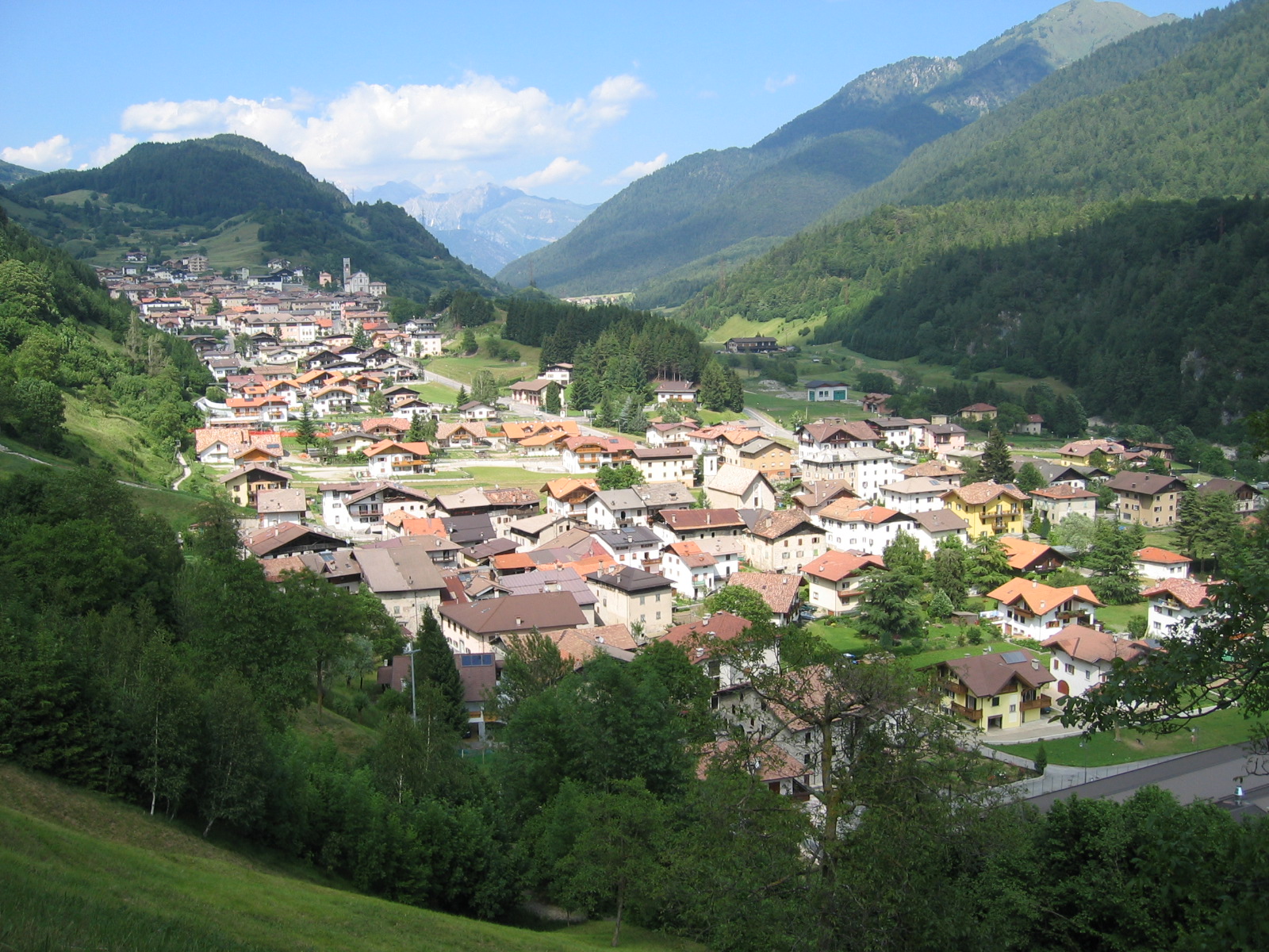
Giudicarie comune formed from Bondo, Breguzzo, Lardaro and Roncone, spread between the Adamello park and the Brenta.
Photo: The original uploader was Mix at Italian Wikipedia . · CC BY-SA 3.0 licence
- 40Routes
- Featured summit · Monte Cengledino
Routes
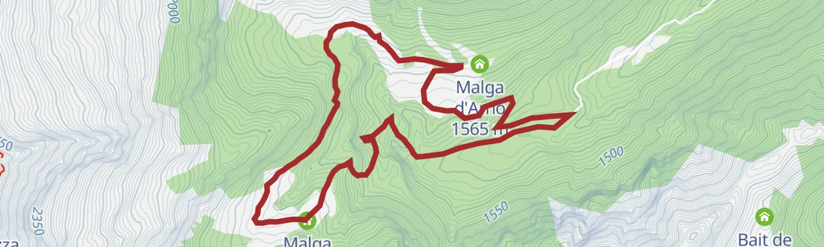
Cascata della Cravatta, waterfall and the crocuses of Malga D’Arnò
A walk up the Val di Breguzzo to the Cravatta waterfall and the crocus meadows of Malga d'Arnò, in the Adamello-Brenta park.
- 6.5 km
- Distance
- 303 m
- Ascent
- 2 h 17 min
- Duration
- 9
- Check-ins
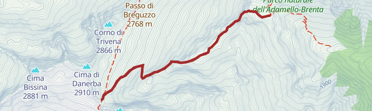
Open route APT Madonna di Campiglio, Pinzolo, Val RendenaSentiero della Pace 4: Rifugio Carè Alto to Rifugio Trivena
A high stage from the Carè Alto hut over the Bocca di Conca into the Valletta Dosson, past a wartime command post, down the San Valentino valley to Trivena.
- 12.9 km
- Distance
- 865 m
- Ascent
- 7 h 19 min
- Duration
- 33
- Check-ins
 Rifugio Carè Alto 2 450 m
- Rifugio Trivena 1 650 m
 Laghetto del Dosson 2 358 m
 Bocca della Cunella 2 523 m
- Lago della Vallina Inferiore 2 348 m
- Lago della Vallina Superiore 2 353 m
- +4
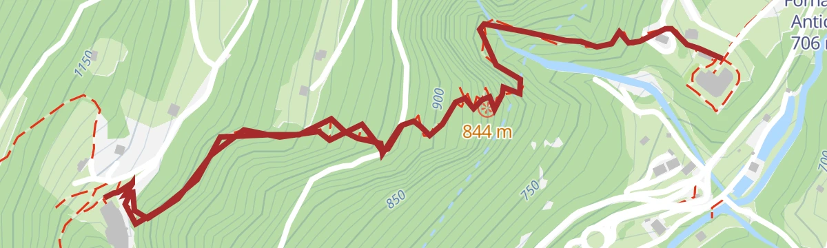
Open route APT Madonna di Campiglio, Pinzolo, Val RendenaSentiero della Pace 5: from Rifugio Trivena to Lardaro
A long stage from the Trivena hut down to Ponte Pianone and up the Arnò valley past several dairies to Passo del Frate, where wartime works and a ruined cableway stand.
- 25.1 km
- Distance
- 1 418 m
- Ascent
- 11 h 45 min
- Duration
- 18
- Check-ins
 Doss dei Morti 2 183 m
- Monte Corona 2 508 m
- Corno Vecchio 2 324 m
- Rifugio Trivena 1 650 m
- Fornace Antica 706 m
- Passo del frate 2 240 m
- +2
Open route APT Madonna di Campiglio, Pinzolo, Val RendenaCima Campantich with skis
A ski-mountaineering route from Le Sole to the 2,138-metre Cima Campantich, with a direct line back through the woods.
- 11.5 km
- Distance
- 766 m
- Ascent
- 764 m
- Descent
- 3 h 49 min
- Duration
- 9
- Check-ins
Open route APT Madonna di Campiglio, Pinzolo, Val RendenaMonte Giuggia and Bocca di Benolina with skis
A ski tour on wide open meadows above Roncone, among the first tracked each season, extendable from Malga Giuggia to Monte Giuggia and the Bocca di Benolina.
- 13.9 km
- Distance
- 1 499 m
- Ascent
- 1 501 m
- Descent
- 5 h 37 min
- Duration
- 2
- Check-ins
Open route APT Madonna di Campiglio, Pinzolo, Val RendenaDurone - Valle del Chiese - Valle di Ledro
A demanding day from Riva del Garda over the Passo Ballino and on through Tione, five lakes along the way and a constant up and down on quiet roads.
- 91.7 km
- Distance
- 2 309 m
- Ascent
- 10 h 12 min
- Duration
- 112
- Check-ins
- Garda Dolomiti Azienda per il turismo S.p.A. 69 m
- Info Point Gardatrentino 657 m
- Info Point Riva del Garda 69 m
- Ingarda 603 m
- Bar Ristorante Passo Durone 995 m
- Passo dell'Ampola 747 m
- +13
Open route Garda TrentinoCravatta Loop
A family loop on the Malga d'Arnò pastures, past the broad fall of the Rio Roldone, good in spring flowers and again in golden larch.
- 6.5 km
- Distance
- 291 m
- Ascent
- 2 h 15 min
- Duration
- 9
- Check-ins
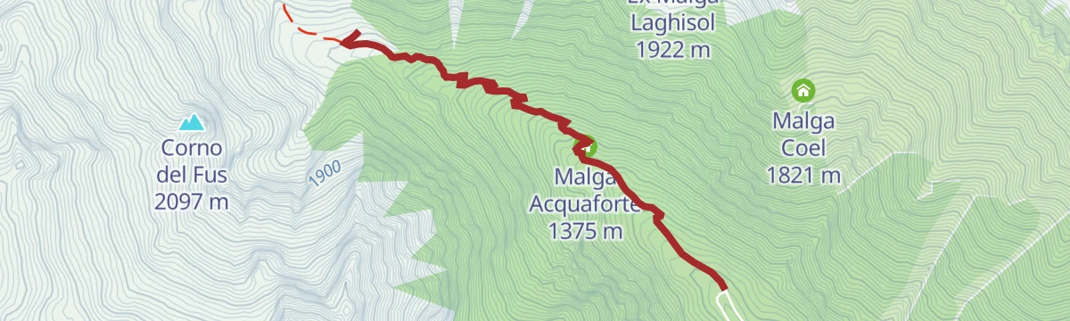
Open route APT Madonna di Campiglio, Pinzolo, Val RendenaTrekking to Trivena Refuge
A short steep climb from Ponte Pianone on a mule track beside the Arnò stream, past the fountain at Malga Acquaforte to the Trivena hut.
- 2.6 km
- Distance
- 417 m
- Ascent
- 1 h 36 min
- Duration
- 14
- Check-ins
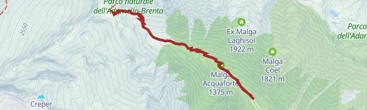
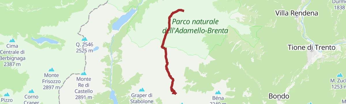
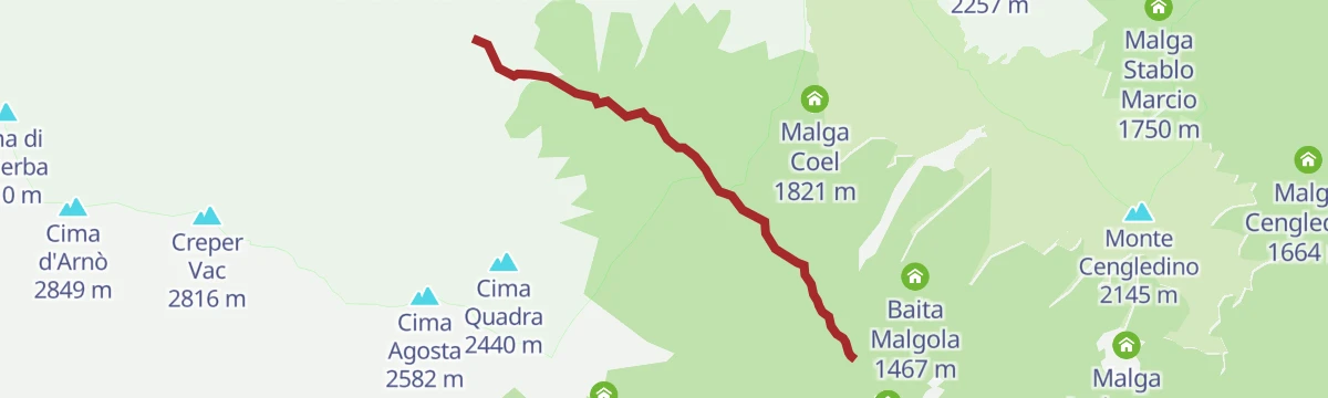
Open route APT Madonna di Campiglio, Pinzolo, Val RendenaCima Creper Vac
A circuit through empty country to Creper Vac, with the southern peaks of the Adamello group ranged across the valley.
- 13.0 km
- Distance
- 1 622 m
- Ascent
- 8 h 42 min
- Duration
- 15
- Check-ins
The cycle route from the Brenta Dolomites to Lake Idro
A long valley cycle path linking the Val Rendena with the Giudicarie and the Chiese valley, passing Lago di Roncone on the way south.
- 56.7 km
- Distance
- 384 m
- Ascent
- 5 h 34 min
- Duration
- 18
- Check-ins
- Lago di Roncone 786 m
- Albergo Eden 797 m
- Consorzio turistico valle del Chiese 496 m
- RendenEgg 757 m
- Bici Grill 418 m
- Ristorante Pizzeria Le Fontane 595 m
- +1
Open route APT Madonna di Campiglio, Pinzolo, Val RendenaLago di Roncone A
A flat circuit of the small lake at Roncone, on the valley floor of the Giudicarie.
- 1.4 km
- Distance
- 25 m
- Ascent
- 24 min
- Duration
- 7
- Check-ins
Val di Trivena - The Way of the Valleys
A walk up the Val di Trivena, a side branch of the Val di Breguzzo, on forest road to the Malga Trivena hut and on to Pian di Redont.
- 8.4 km
- Distance
- 718 m
- Ascent
- 4 h 33 min
- Duration
- 14
- Check-ins
Open route APT Madonna di Campiglio, Pinzolo, Val RendenaThe ‘Orizzonti Liberi’ Route – The Great War Itineraries
A high military route in the Adamello Brenta park, over the Passo di Breguzzo and the Bocchetta del Cop di Casa with Great War remains along the ridge.
- 10.3 km
- Distance
- 1 108 m
- Ascent
- 5 h 44 min
- Duration
- 9
- Check-ins
- Cima Cop di Casa 2 975 m
- La Uzza 2 678 m
- Cima Uccia 2 678 m
- Cop de Mez 2 976 m
- Porte di Danerba 2 718 m
- Passo del frate 2 240 m
- +3
Open route APT Madonna di Campiglio, Pinzolo, Val RendenaChiese Valley Cycle Path
The Chiese valley cycle path from Lake Idro up through Storo to Bondo, by the Roncone lake.
- 36.9 km
- Distance
- 546 m
- Ascent
- 3 h 44 min
- Duration
- 14
- Check-ins
- Lago di Roncone 786 m
- Albergo Eden 797 m
- Consorzio turistico valle del Chiese 496 m
- Punto Info Breguzzo 805 m
- Bici Grill 418 m
Open route VisitTrentinoTorrente Arnò PP1
A short access path down to the Arnò torrent above Bondo, in the Giudicarie valleys.
- 740 m
- Distance
- 41 m
- Ascent
- 14 min
- Duration
- 1
- Check-ins
Open route Trentino FishingVal d'Arnò - La Via delle Valli
A climb from the Malga d'Arnò pastures to Malga Maggiasone, then on the Peace Trail over slabs and iron rungs to the Passo del Frate.
- 12.2 km
- Distance
- 819 m
- Ascent
- 5 h 31 min
- Duration
- 10
- Check-ins
Open route APT Madonna di Campiglio, Pinzolo, Val RendenaTrivena Mountain Hut - Danerba Peak
A long steep day from the Malga Trivena road to Pian di Redont and its three waterfalls, then up the Valle del Vescovo to the granite fort at the Porte di Danerba.
- 12.6 km
- Distance
- 1 281 m
- Ascent
- 7 h 51 min
- Duration
- 4
- Check-ins
Open route APT Madonna di Campiglio, Pinzolo, Val RendenaDolomiti di Brenta Bike Explorer - Central Giudicarie: the Val di Breguzzo
A long loop from Tione up the wooded Val di Breguzzo, calling at Malga Cengledino and Malga Lodranega before the return along the Rendena valley.
- 51.6 km
- Distance
- 1 916 m
- Ascent
- 6 h 23 min
- Duration
- 12
- Check-ins
- Malga Cengledino 1 664 m
- Malga Lodranega 1 673 m
- Breg Adventure Park 1 141 m
- Madonna del Monte 1 301 m
- Malga Le Sole 1 496 m
Open route APT Dolomiti di Brenta e PaganellaDivieto Torrente Arnò
A flat kilometre beside the Arnò torrent in the Giudicarie, along a stretch closed to fishing.
- 1.0 km
- Distance
- 0 m
- Ascent
- 17 min
- Duration
Open route Trentino FishingTorrente Arnò dalla presa Enel alla confluenza con Torr. Fiana H
A climb beside the Arnò torrent from the Enel intake up to the point where the Fiana joins it, in the Giudicarie.
- 3.9 km
- Distance
- 534 m
- Ascent
- 2 h 7 min
- Duration
- 5
- Check-ins
Open route Trentino FishingVal di Bondone - La Via delle Valli
A climb up the Val di Bondone from Bondone di Sopra, past old hay barns and the Spazade and Frain pastures under the Cingol spire, to the Doss dei Morti.
- 14.0 km
- Distance
- 949 m
- Ascent
- 6 h 22 min
- Duration
- 4
- Check-ins
Open route APT Madonna di Campiglio, Pinzolo, Val RendenaValle del Chiese Bondo-Baitoni cycle path
A gentle valley route down the Chiese from Lago di Roncone towards Lake Idro, mixing bike lane with quiet paved roads and a bici grill.
- 29.8 km
- Distance
- 192 m
- Ascent
- 2 h 59 min
- Duration
- 12
- Check-ins
- Lago di Roncone 786 m
- Albergo Eden 797 m
- Consorzio turistico valle del Chiese 496 m
- Bici Grill 418 m
Open route APT Madonna di Campiglio, Pinzolo, Val RendenaRio Roldone H1
A level path beside the Rio Roldone above Roncone, in the Giudicarie valleys.
- 2.5 km
- Distance
- 0 m
- Ascent
- 1 h 50 min
- Duration
Open route Trentino FishingTorrente Adanà ed Affluenti
A near-level route along the Adanà torrent and its feeder streams in the Valle del Chiese.
- 8.8 km
- Distance
- 13 m
- Ascent
- 2 h 40 min
- Duration
- 4
- Check-ins
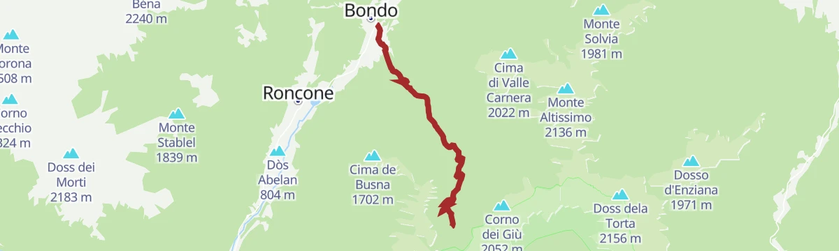
Open route Trentino FishingBondo - Malga Campei
A steady 900 m climb from Bondo up to Malga Campei, shaded most of the way by beech and fir, starting beside the Austro-Hungarian war cemetery.
- 6.8 km
- Distance
- 890 m
- Ascent
- 3 h 34 min
- Duration
- 3
- Check-ins
Open route APT Madonna di Campiglio, Pinzolo, Val RendenaSenter dei Popi - Madonna del Lares
A streamside link between Bondo and Breguzzo along the Fiana and the Arnò, over a suspension bridge and a walkway pinned above the bed, ending at the Madonna del Lares.
- 4.2 km
- Distance
- 92 m
- Ascent
- 1 h 13 min
- Duration
Open route APT Madonna di Campiglio, Pinzolo, Val RendenaTorrente Arnò H1
A climb beside the Arnò torrent through its wooded gorge above Bondo, in the Giudicarie.
- 3.7 km
- Distance
- 582 m
- Ascent
- 2 h 15 min
- Duration
- 4
- Check-ins
Open route Trentino FishingAvalina Trail - 1109
A long climb on the western side of the Valle del Chiese, up the southern flank of the Adamello above the tree line to the Avalina pastures.
- 25.2 km
- Distance
- 1 247 m
- Ascent
- 9 h 9 min
- Duration
- 1
- Check-ins
Open route APT Madonna di Campiglio, Pinzolo, Val RendenaTorrente Arnò PP3
A few hundred metres down to the Arnò torrent in the Giudicarie, giving access to the water.
- 350 m
- Distance
- 13 m
- Ascent
- 6 min
- Duration
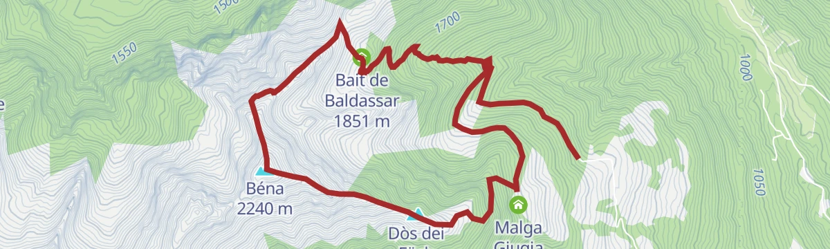
Open route Trentino FishingCoradure - Benna Peak
A climb from Coradure through a stand of great firs to Malga Giuggia, then by steep mule track to the rhododendron pastures and the Bena summit.
- 7.5 km
- Distance
- 813 m
- Ascent
- 4 h 49 min
- Duration
- 3
- Check-ins
Open route APT Madonna di Campiglio, Pinzolo, Val RendenaTorrente Arnò Riserva R2 Arnò
A flat stretch along the Arnò within the R2 fishing reserve, on the valley floor of the Giudicarie.
- 1.0 km
- Distance
- 0 m
- Ascent
- 16 min
- Duration
Open route Trentino FishingVal del Vescovo - The Way of the Valleys
A route through the Val di Trivena from Ponte Pianone to the Malga Trivena hut and Pian di Redont, then up into the Val del Vescovo, which opens at 2,000 m.
- 7.5 km
- Distance
- 753 m
- Ascent
- 4 h 37 min
- Duration
- 3
- Check-ins
Open route APT Madonna di Campiglio, Pinzolo, Val RendenaTorrente Arnò basso da confluenza Torr. Fiana a confluenza Fiume Sarca I
A low-level walk along the Arnò from the Fiana confluence down to where the torrent meets the Sarca.
- 5.8 km
- Distance
- 41 m
- Ascent
- 1 h 42 min
- Duration
Open route Trentino FishingMountain Pasture Path: Bondone di Sopra - Stabol Fresc - Avalina
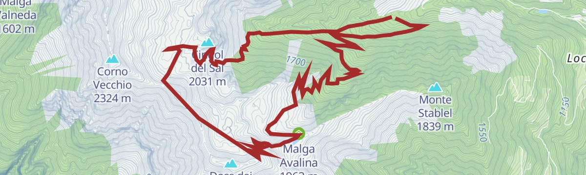
A walk up the Val di Bondone, cut in sedimentary rock unlike the Adamello valleys nearby, past Malga Fraino below the Cengol dal Sal ledge to Malga Avalina.
- 11.9 km
- Distance
- 766 m
- Ascent
- 5 h 12 min
- Duration
- 2
- Check-ins
Open route APT Madonna di Campiglio, Pinzolo, Val RendenaTorrente Fiana Z
A short, flat walk beside the Torrente Fiana on the valley floor at Sella Giudicarie.
- 4.3 km
- Distance
- 0 m
- Ascent
- 1 h 35 min
- Duration
Open route Trentino FishingSentiero della Pace 6: Lardaro to Malga Ringia
A short uphill link stage from Lardaro to Malga Ringia, gaining height towards the Cadria massif.
- 7.1 km
- Distance
- 680 m
- Ascent
- 2 h 58 min
- Duration
- 2
- Check-ins
Open route APT Madonna di Campiglio, Pinzolo, Val Rendena“El senter dei popi E'Nanc E'Endre'",a trail for children that reveals the life and history of a river
A very short children's trail between Breguzzo and Bondo along the Fiana and the Arnò, with gorge overlooks, a suspension bridge and wooden carvings.
- 764 m
- Distance
- 22 m
- Ascent
- 16 min
- Duration
Open route APT Madonna di Campiglio, Pinzolo, Val RendenaVal di Breguzzo - The Way of the Valleys
A walk from the middle of Breguzzo up the mountain road into the valley, steepest at the start and shaded by woods for much of the way.
- 11.9 km
- Distance
- 342 m
- Ascent
- 3 h 38 min
- Duration
- 1
- Check-ins
Open route APT Madonna di Campiglio, Pinzolo, Val RendenaFrom Forte Larino to Forte Corno – The Great War Itineraries
A climb on old mule tracks from Forte Larino at about 800 m to Forte Corno on its spur, both part of the fortified line above the Valle del Chiese.
- 3.1 km
- Distance
- 406 m
- Ascent
- 2 h 23 min
- Duration
Open route APT Madonna di Campiglio, Pinzolo, Val RendenaVal Benolina - La Via delle Valli
A walk from Coradure above Roncone through monumental firs to Laret, where the forest road ends and a path carries on into the Val Benolina.
- 7.8 km
- Distance
- 451 m
- Ascent
- 3 h 10 min
- Duration
Open route APT Madonna di Campiglio, Pinzolo, Val Rendena
No routes of this kind in Sella Giudicarie yet.
The region's own picks
Featured route
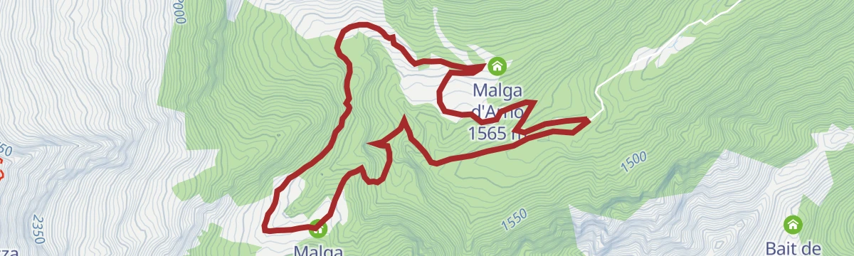
Cascata della Cravatta, waterfall and the crocuses of Malga D’Arnò
A walk up the Val di Breguzzo to the Cravatta waterfall and the crocus meadows of Malga d'Arnò, in the Adamello-Brenta park.
Planning a trip to Sella Giudicarie?
Everything else Trentino-Alto Adige/Südtirol has, in one place


Take Sella Giudicarie with you into the mountains
Every route on this page with 3D terrain, GPX navigation and offline maps — including the valleys with no signal.
Data sources
- Official website: campigliodolomiti.it ↗
- Routes and highlights: APT Madonna di Campiglio, Pinzolo, Val Rendena, Trentino Fishing, Visit Trentino, Garda Trentino, VisitTrentino, APT Dolomiti di Brenta e Paganella
- Published as open data by the tourist boards named above.
- Region summary generated from the board's own material.
