
 Cable car
 Historic site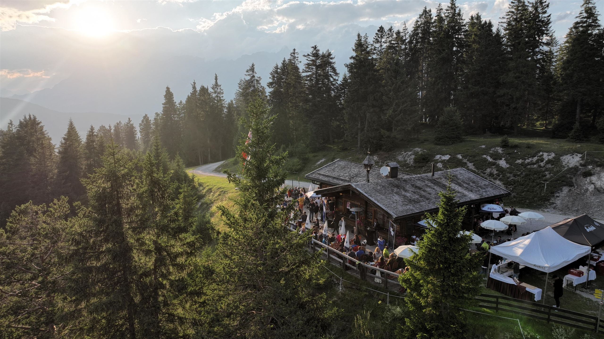

















Curated by Region Seefeld
Seefeld in Tirol
The main town of the high plateau between Wetterstein and Karwendel at 1180 m, a medieval pilgrimage stop turned Olympic nordic-skiing resort.
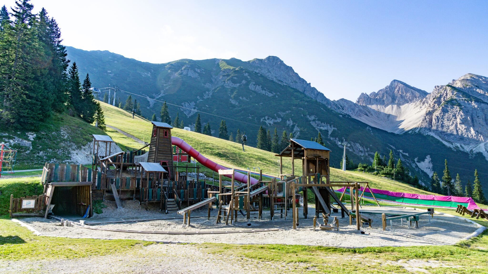
Photo: Minard
- 13Highlights
- 72Routes
- Featured summit · Seefelder Spitze
Highlights
2 from neighbouring places
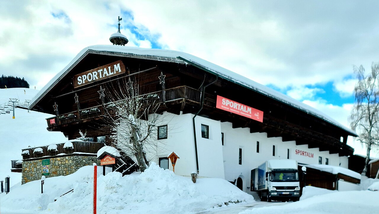
Sportalm
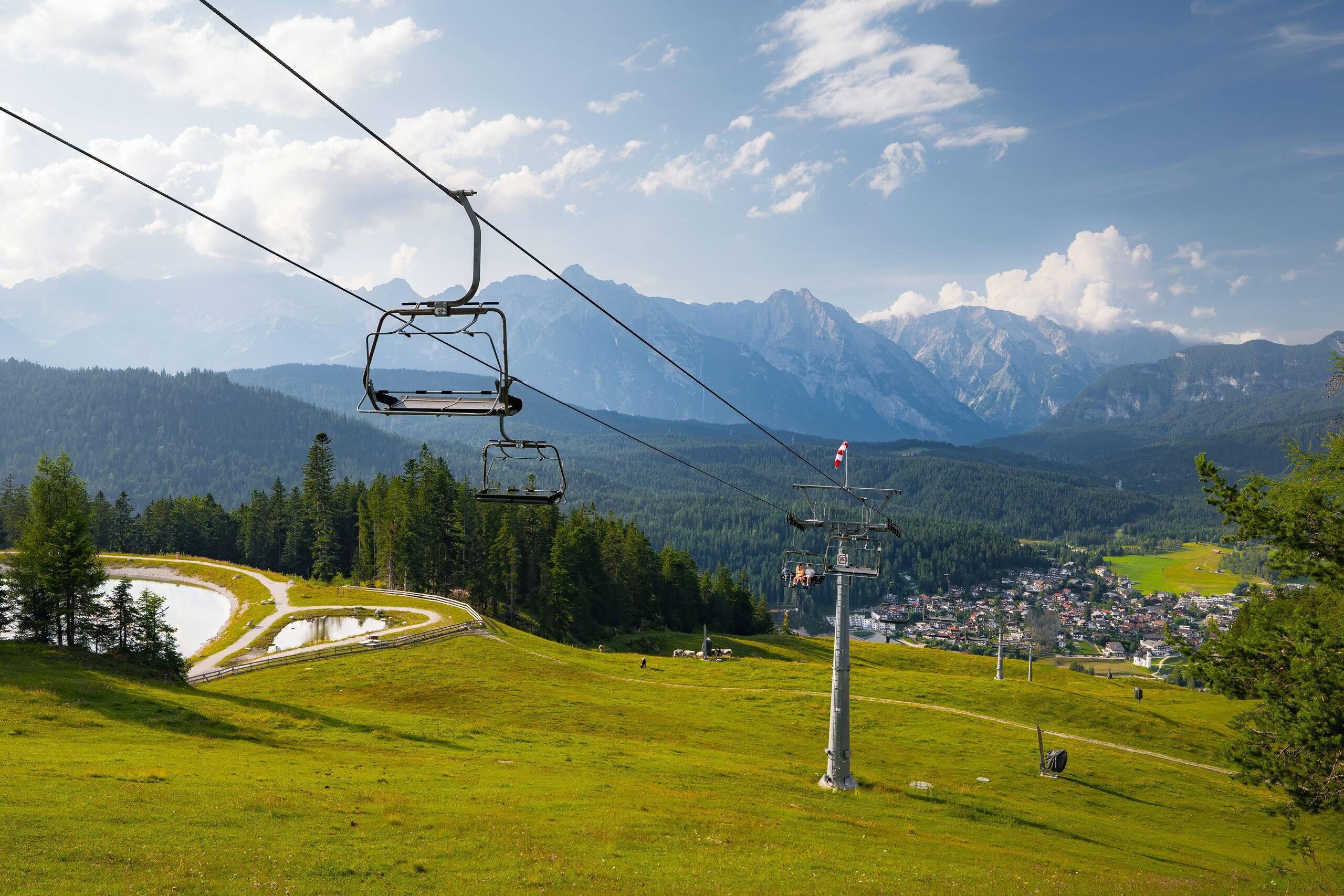
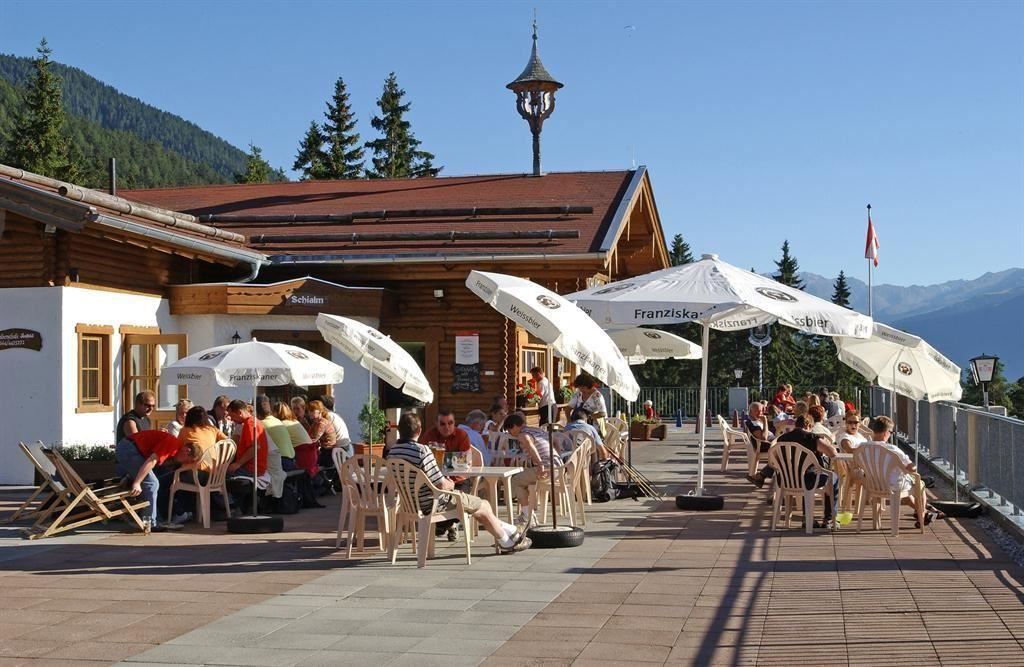
A ski-area restaurant on the Gschwandtkopf above Seefeld, serving skiers in winter and walkers in summer.
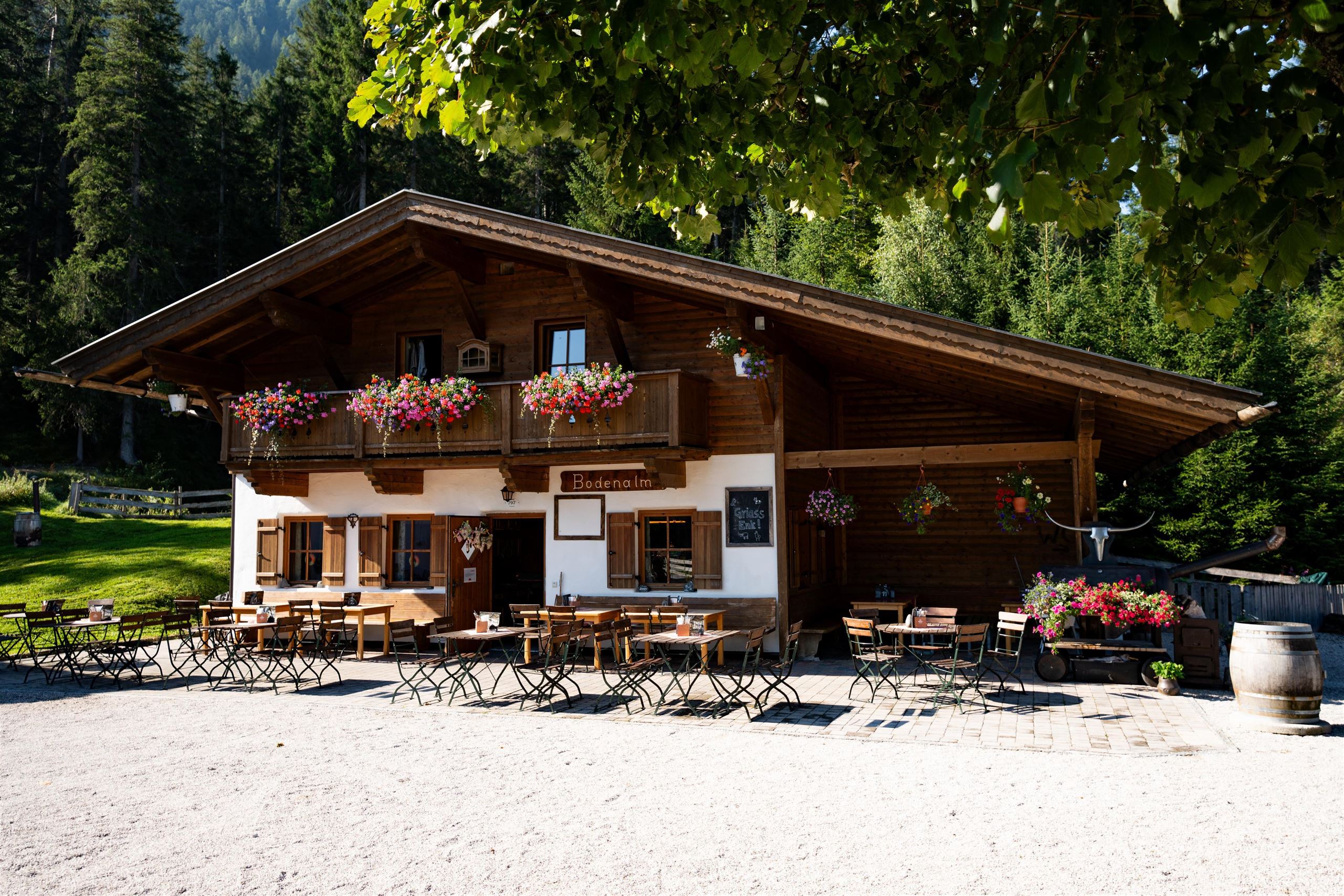
Bodenalm
An easily reached alm between Seefeld and Scharnitz, serving refreshments to walkers and cyclists on the valley tracks.
Birkenlift
A small surface lift on the edge of Seefeld, serving beginner slopes within easy reach of the village.
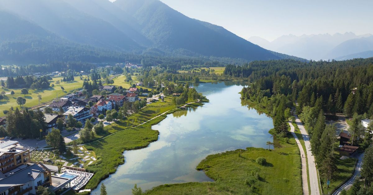
Der Wildsee
A small lake on the southern edge of Seefeld at about 1,180 m, with a shoreline path, a bathing beach and protected reed areas.
Geigenbühellift
A beginners' lift on the Geigenbühel slope at Seefeld, serving gentle practice terrain near the village centre.
Gschwandtkopflifte
Lifts on the Gschwandtkopf at Seefeld, a rounded ski hill shared with Mösern and used mainly for family skiing.
Marienkapelle am Schlossberg
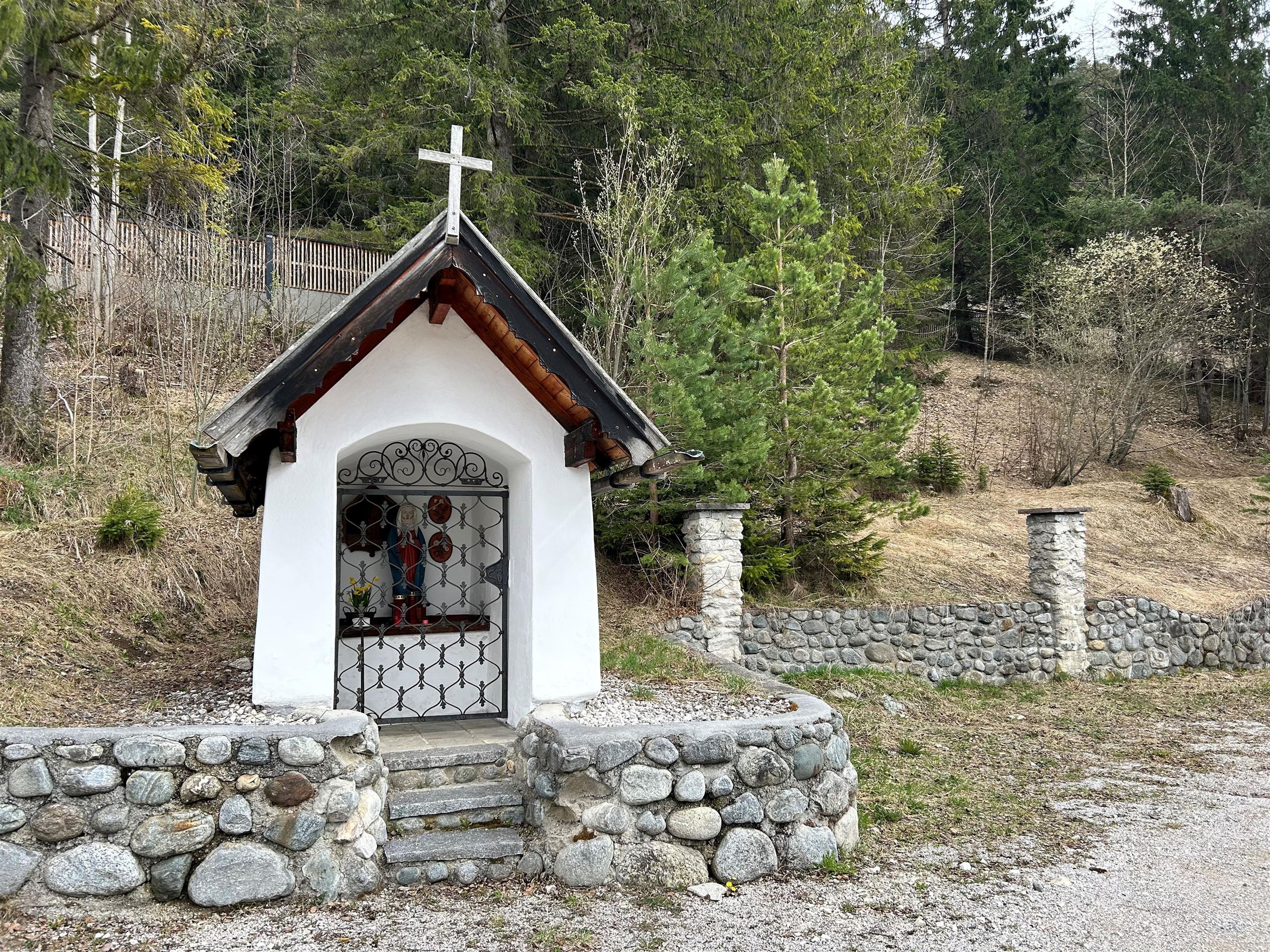
A chapel to the Virgin Mary on the Schlossberg near Seefeld, a short walk from the village on a wooded knoll.
Fußgängerzone - Seefeld
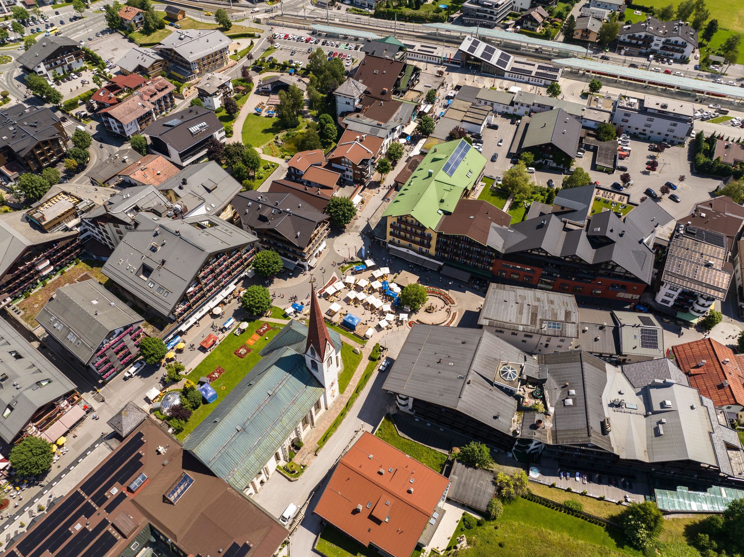
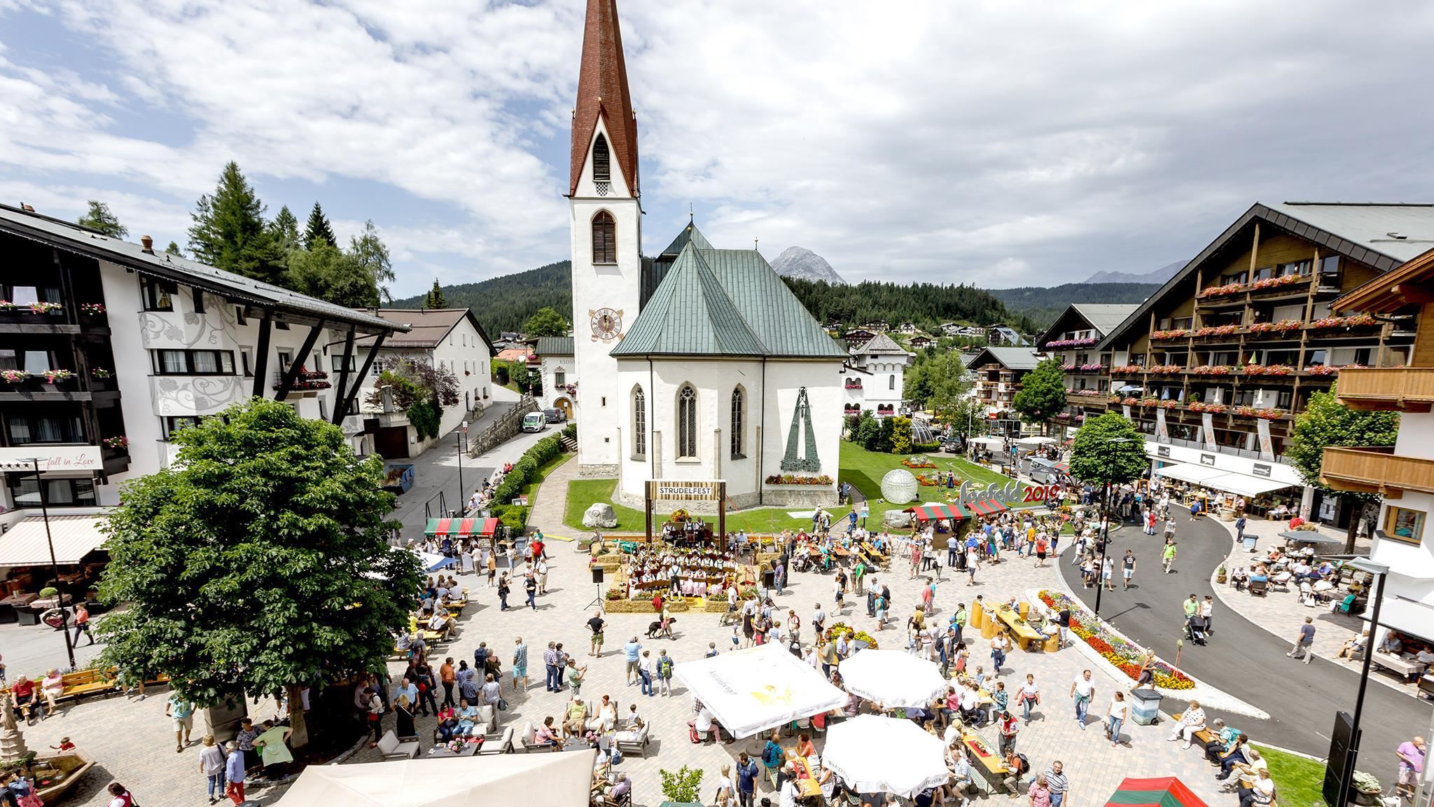
Seefeld's pedestrian zone, the car-free core of the resort village lined with hotels, shops and the parish church.
Hochegg Alm
A small alm at the Hochegg near Seefeld, a modest refreshment stop on the plateau's walking and winter paths.
Kalvarienberg Mösern
A Calvary with stations of the cross near Mösern and the Gschwandtkopf, a short devotional walk with valley views.
Lehenwald Kapelle
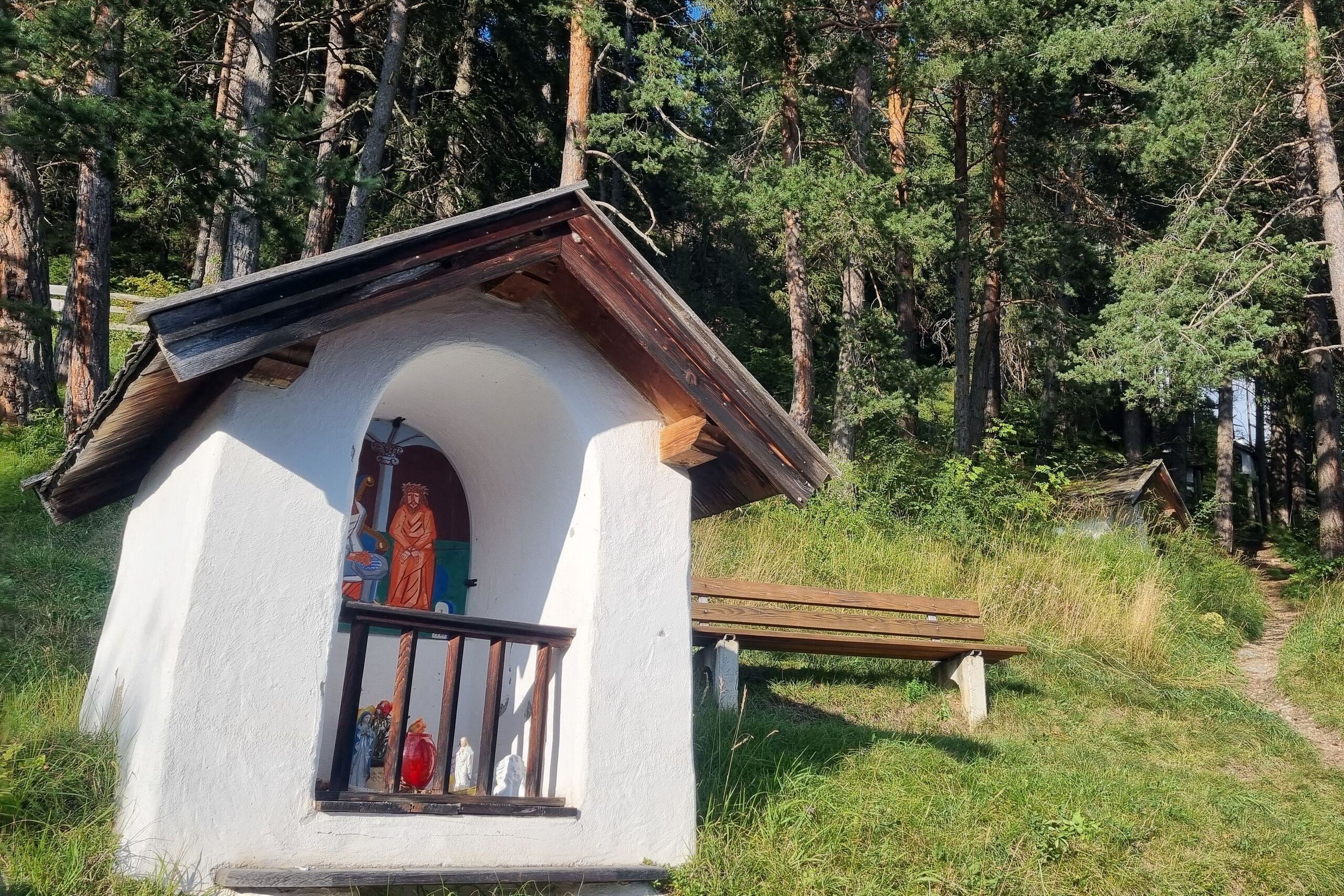
A forest chapel in the Lehenwald between Leutasch and Seefeld, a quiet stop on the wooded paths of the plateau.
Pfarrkirche St. Oswald
Seefeld's late-Gothic parish church, a pilgrimage destination since the host miracle reported there in 1384.
Seefelder Seekirchl (Heiligkreuzkirche)
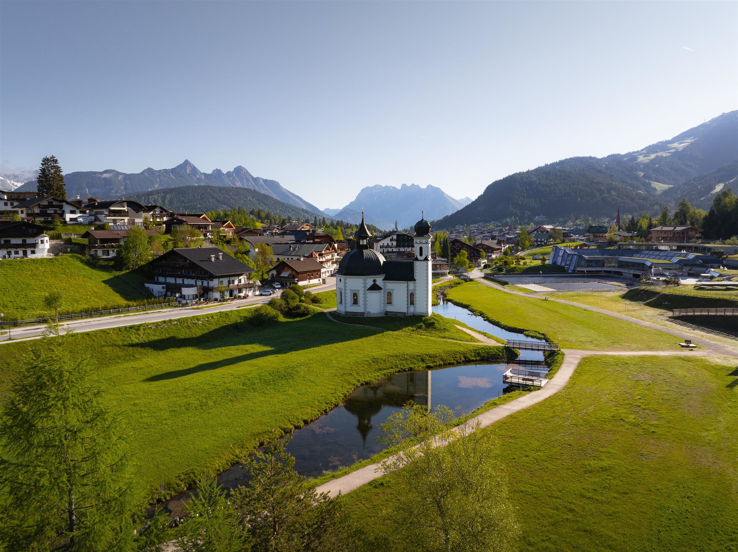
A small baroque domed church on the western edge of Seefeld, built in the 17th century and today a landmark of the village.
Skialm
1.4 km away, in Reith bei Seefeld
A slope-side hut at the Rosshütte ski area above Seefeld, serving skiers through the winter season on the mountain.
Bergbahnen Rosshütte
1.4 km away, in Reith bei Seefeld
Seefeld's main lift system, combining a funicular to the Rosshütte with cable cars toward the Seefelder Joch and the Härmelekopf.
Nothing of this kind in Seefeld in Tirol.
Routes
50 routes, an even mix of activities · see the rest on seefeld.com ↗
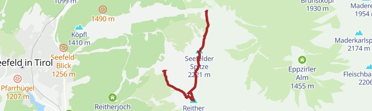
Haymon-Klettersteig (Reither Spitze 2.374 m)
Via ferrata up the north flank of the Reither Spitze to the 2,374 m summit, with short climbing sections, traverses and exposed ground, started from the Seefelder Joch.
- 3.5 km
- Distance
- 452 m
- Ascent
- 3 h 24 min
- Duration
- 97
- Check-ins
Seefelder Panorama-Klettersteig (Seefelder Spitze 2.221 m)
Via ferrata graded C that runs up to the 2,221 m Seefelder Spitze, gaining 522 m from the Seefelder Joch with the Karwendel and Wetterstein in sight.
- 3.7 km
- Distance
- 462 m
- Ascent
- 3 h 26 min
- Duration
- 97
- Check-ins
Zirbenweg Bergstation Rosshütte
Short stone pine path of under 1 km at the Rosshütte top station, level enough for families, with the panorama restaurant at the start.
- 806 m
- Distance
- 33 m
- Ascent
- 16 min
- Duration
- 31
- Check-ins
Königstour - die royale Wanderung
Ridge link of 4.7 km between the Seefelder Spitze at 2,220 m and the Reither Spitze at 2,373 m, dropping to the Nördlinger Hütte, with 470 m of climb.
- 4.7 km
- Distance
- 471 m
- Ascent
- 2 h 57 min
- Duration
- 109
- Check-ins
Etappe 3: Reither Spitze – Big 3 Weitwanderung
Third Big 3 stage, 15.3 km with 1,400 m of climb to the Reither Spitze, a stop at the Nördlinger Hütte and a traverse on to the Seefelder Spitze.
- 15.3 km
- Distance
- 1 396 m
- Ascent
- 8 h 32 min
- Duration
- 201
- Check-ins
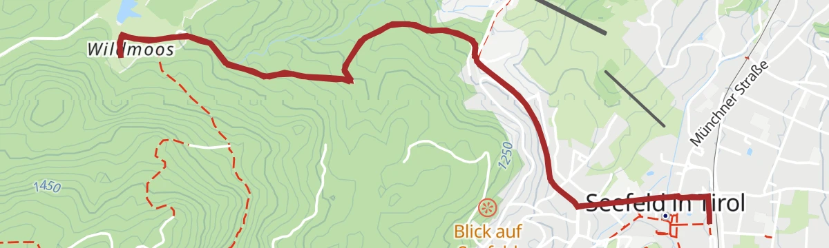
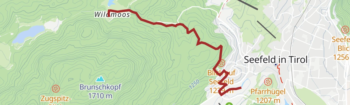
Biketour Nr. 5069 Seefeld-Wildmoos
A short, easy ride from the centre of Seefeld up to the Wildmoosalm at 1,317 m, on forest roads that rise gently across the plateau.
- 6.4 km
- Distance
- 120 m
- Ascent
- 41 min
- Duration
- 17
- Check-ins
Biketour Nr. 5027 Rosshütte
A forest-road climb above Seefeld to the funicular top station at 1,751 m, going by the Hocheggalm and the Kaltwassersee.
- 10.8 km
- Distance
- 570 m
- Ascent
- 1 h 33 min
- Duration
- 92
- Check-ins
Bike & Hike Seefelder Spitze, 2.220 m
Ride-and-walk combination of 14.4 km and 1,094 m of climb to the Seefelder Spitze by way of the Rosshütte and the Kaltwassersee.
- 14.4 km
- Distance
- 1 095 m
- Ascent
- 2 h 42 min
- Duration
- 186
- Check-ins
Bike & Hike Seefelder Spitze, 2.220 m
A ride up to the Rosshütte and the Kaltwassersee, then on foot over the Seefelder Joch to the ridge top at 2,220 m.
- 17.0 km
- Distance
- 1 439 m
- Ascent
- 3 h 28 min
- Duration
- 176
- Check-ins
Rolli-Rundwanderung Seekirchl - Sprungschanze
Level 3 km circuit at Seefeld to the Seekirchl and the sports arena with its ski jumps, surfaced for wheelchairs.
- 3.0 km
- Distance
- 0 m
- Ascent
- 43 min
- Duration
- 12
- Check-ins
Rundwanderung zum Panoramarestaurant Rosshütte und zur Hochegg Alm
A 7.7 km round from Seefeld to the Rosshütte panorama restaurant and the Hocheggalm, passing the Kaltwassersee with 525 m of climb.
- 7.7 km
- Distance
- 524 m
- Ascent
- 3 h 30 min
- Duration
- 106
- Check-ins
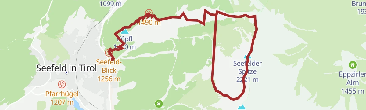
Wanderung zur Seefelder Spitze, 2.221 m und Seefelder Joch 2.060 m
Climb of 1,010 m from Seefeld over the Seefelder Joch at 2,060 m to the Seefelder Spitze at 2,221 m, 7.3 km of walking.
- 7.3 km
- Distance
- 1 008 m
- Ascent
- 4 h 18 min
- Duration
- 130
- Check-ins
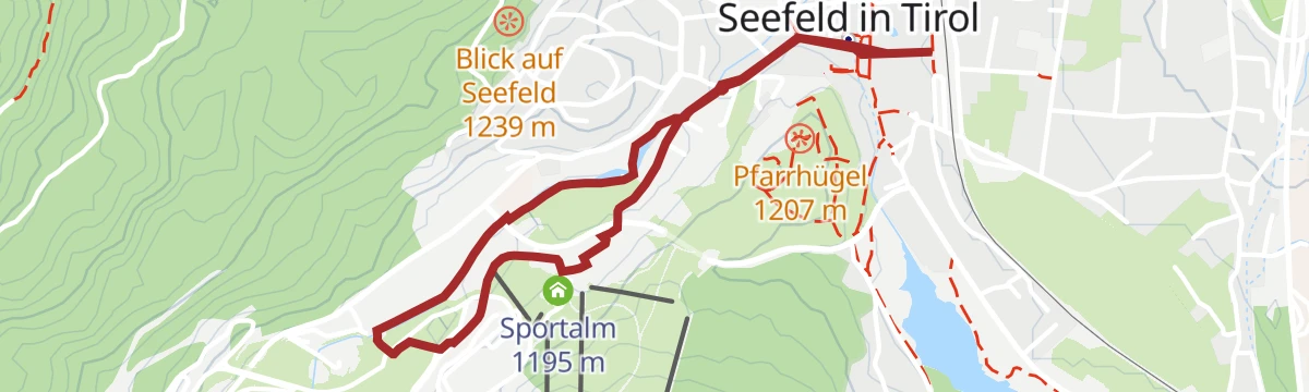
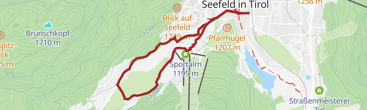
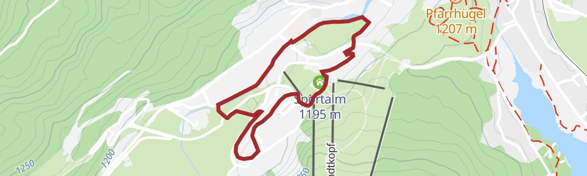
Bike-Verbindung Nr. 546 Mösern-Seefeld
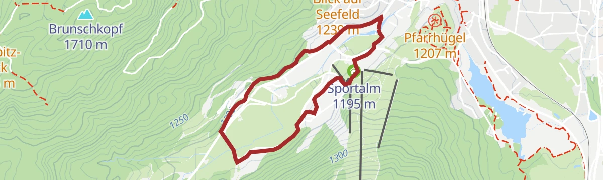
A short track connection across the plateau between Mösern at 1,213 m and Seefeld, past the Sportalm and the Hinterfeldlift.
- 10.0 km
- Distance
- 178 m
- Ascent
- 1 h 3 min
- Duration
- 18
- Check-ins
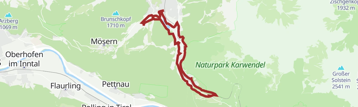
Gravel Hinterautal
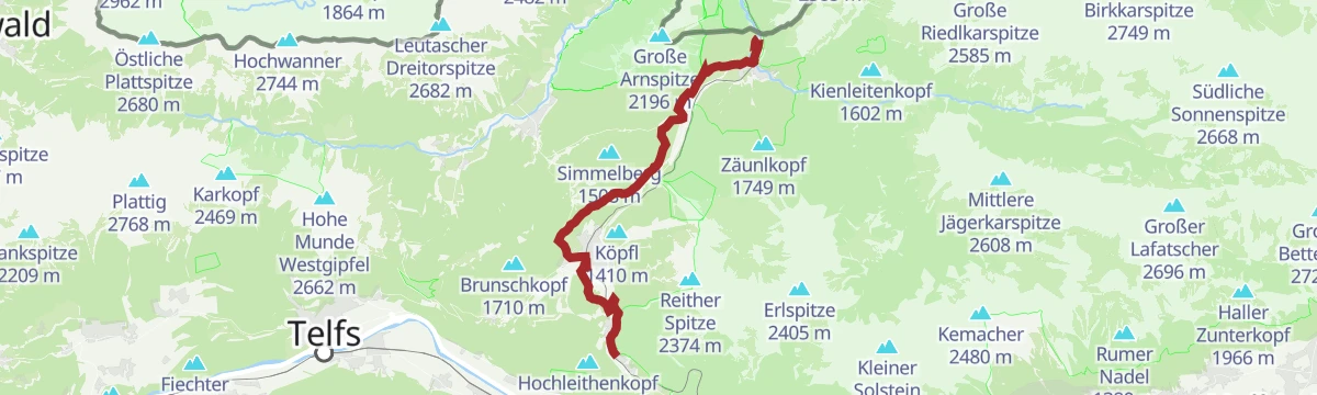
A long gravel run from Seefeld down to Scharnitz and up the Isar valley to the Kastenalm at 1,222 m, deep in the Karwendel.
- 53.3 km
- Distance
- 588 m
- Ascent
- 5 h 17 min
- Duration
- 46
- Check-ins
Gravel Hinterautal
A gravel loop from Scharnitz along the Hinterautal to the Kastenalm, returning over the Seefeld plateau at around 1,180 m.
- 53.3 km
- Distance
- 1 070 m
- Ascent
- 5 h 44 min
- Duration
- 46
- Check-ins
Rolli-Rundwanderung im Möserer Tal
Flat 4.5 km circuit through the Möserer Tal to the Seekirchl and the sports arena, wheelchair-friendly and passing the WM-Turm platform.
- 4.5 km
- Distance
- 10 m
- Ascent
- 1 h 4 min
- Duration
- 12
- Check-ins
Geoweg Hermannstal
A 9.2 km route up the Hermannstal with seven stations on the rock types of the area, finishing at the Rosshütte restaurant.
- 9.2 km
- Distance
- 573 m
- Ascent
- 3 h 55 min
- Duration
- 65
- Check-ins
Bergtour über die Eppzirler Alm und Nördlinger Hütte nach Seefeld
Strenuous 21 km round from Seefeld by the Eppzirler Alm and the Nördlinger Hütte, with 1,520 m of climb and the whole plateau in view.
- 21.0 km
- Distance
- 1 520 m
- Ascent
- 10 h 2 min
- Duration
- 70
- Check-ins
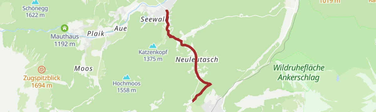
Bike-Verbindung Nr. 5052 Seefeld-Leutasch
A track link from Seefeld over into the Leutasch valley, passing the Kreithalm and the Mahderkapelle above the Katzenkopflift.
- 14.9 km
- Distance
- 276 m
- Ascent
- 1 h 35 min
- Duration
- 12
- Check-ins
Gravel Gaistal
A gravel-road ride out of Seefeld past the Kreithalm and the Mauthaus to the alm at 1,369 m at the valley head.
- 18.1 km
- Distance
- 397 m
- Ascent
- 1 h 55 min
- Duration
- 32
- Check-ins
Innsbruck - Mösern - Seefeld
A long road day from the Inn valley onto the plateau at Mösern, continuing through the Leutasch past the Seewaldalm and the Kreithalm.
- 88.7 km
- Distance
- 1 388 m
- Ascent
- 9 h 11 min
- Duration
- 34
- Check-ins
W16: Winterwanderung von Leutasch nach Seefeld
Winter link of 6.6 km between Leutasch and Seefeld, passing the Kreithalm and the Mahderkapelle with 164 m of climb.
- 6.6 km
- Distance
- 161 m
- Ascent
- 1 h 53 min
- Duration
- 12
- Check-ins
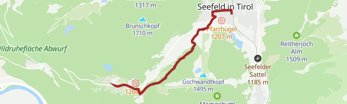
Wanderung auf den Gschwandtkopf
A 12.6 km walk from Seefeld to the top of the Gschwandtkopf, passing the reservoir that mirrors the surrounding peaks, with a restaurant at the summit.
- 12.6 km
- Distance
- 318 m
- Ascent
- 3 h 44 min
- Duration
- 33
- Check-ins
 Gschwandtkopf 1 495 m
 Sonnalm 1 482 m
 Speicherteich Gschwandtkopf 1 448 m
- Informations- und Mobilitätszentrum Seefeld 1 182 m
- Bergrettungshütte Gschwandtkopf 1 480 m
- Tourismusverband Seefeld 1 182 m
- +3
Adlerweg-Etappe 15: Solsteinhaus - Leutasch
Fifteenth stage of the Adlerweg, from the Solsteinhaus over the Eppzirler Scharte past the Eppzirler Alm and the Hoher Sattel to Leutasch; a long Karwendel crossing.
- 20.1 km
- Distance
- 868 m
- Ascent
- 6 h 51 min
- Duration
- 29
- Check-ins
Biketour Nr. 5033 Eppzirler Alm
A forest-road climb from Seefeld up a wooded side valley, passing the Eppzirltalblick viewpoint to the alm at 1,455 m.
- 13.3 km
- Distance
- 523 m
- Ascent
- 1 h 41 min
- Duration
- 9
- Check-ins
Biketour Seefeld - Mösern - Wildmoos - Katzenkopf - Fludertal - Seefeld
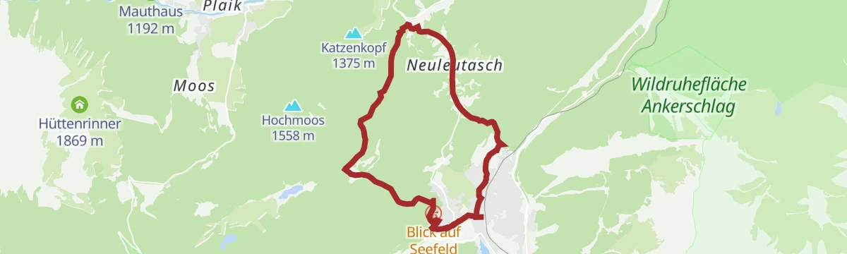
A long forest-road circuit across the plateau, taking in the Wildmoosalm, the Kreithalm and the Arnspitzblick viewpoint.
- 27.3 km
- Distance
- 738 m
- Ascent
- 3 h 7 min
- Duration
- 28
- Check-ins
Gravel Gaistal
A gravel run from Seefeld through the Leutasch valley and up the hut road to the alm at 1,369 m, returning past the Aumoos Alm.
- 18.1 km
- Distance
- 492 m
- Ascent
- 2 h 4 min
- Duration
- 32
- Check-ins
Wanderung zur Wildmoosalm
Easy 6.5 km walk from the Seekirchl in Seefeld through meadows and woodland to the Wildmoosalm.
- 6.5 km
- Distance
- 159 m
- Ascent
- 1 h 55 min
- Duration
- 12
- Check-ins
Etappe 5: Von Seefeld nach Mösern und über Wildmoos zurück nach Seefeld – Seefelder Hochplateau Winterweitwanderung
Closing winter stage of 14.5 km from Seefeld out to Mösern and back by Wildmoos, taking in the Möserer See, the peace bell and the Seekirchl.
- 14.5 km
- Distance
- 223 m
- Ascent
- 3 h 57 min
- Duration
- 26
- Check-ins
Etappe 1: Von Seefeld über Reith nach Leithen – Seefelder Hochplateau Winterweitwanderung
Winter stage of 16.7 km from Seefeld by the Wildsee and the bee trail at Reith on to Leithen, with little climbing but a long day.
- 16.7 km
- Distance
- 264 m
- Ascent
- 4 h 34 min
- Duration
- 16
- Check-ins
Bike-Verbindung Nr. 5030 Seefeld-Reith
A near-level link on forest tracks between Seefeld and Reith on the Tirolean plateau, passing the Bienenhotel on the way.
- 10.3 km
- Distance
- 128 m
- Ascent
- 1 h 2 min
- Duration
- 5
- Check-ins
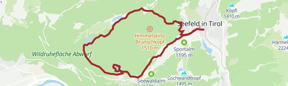
Gravel Wildmoos
A gravel loop above Seefeld climbing to the Himmelskino platform on the Brunschkopf at 1,510 m, with the alm at 1,317 m below.
- 19.5 km
- Distance
- 459 m
- Ascent
- 2 h 10 min
- Duration
- 17
- Check-ins
Gravel Wildmoos
A gravel loop out of Seefeld across the Wildmoos, adding the climb to the Himmelskino viewpoint on the Brunschkopf.
- 19.5 km
- Distance
- 607 m
- Ascent
- 2 h 18 min
- Duration
- 17
- Check-ins
Dorfrunde Seekirchl - Sprungschanze
Flat 2 km village loop from the Seekirchl past the Arena365, the WM-Turm and the Toni Seelos jumps.
- 2.0 km
- Distance
- 10 m
- Ascent
- 30 min
- Duration
- 7
- Check-ins
Etappe 4: Von Weidach durch das Fludertal und über Wildmoos nach Seefeld – Seefelder Hochplateau Winterweitwanderung
Winter stage of 7.9 km from Weidach through the Fludertal and the Wildmoos nature reserve to Seefeld, with 230 m of climb.
- 7.9 km
- Distance
- 230 m
- Ascent
- 2 h 23 min
- Duration
- 23
- Check-ins
Rundwanderung von Seefeld zur Lottenseehütte & Muggenmoosalm
A 16 km round from Seefeld by Mösern to the Lottenseehütte and the Muggenmoosalm, passing the peace bell above the Inn valley.
- 16.1 km
- Distance
- 422 m
- Ascent
- 4 h 49 min
- Duration
- 12
- Check-ins
Biketour Nr. 535 Triendlweg-Bauernwald
A short circuit on forest roads through the woods above Seefeld in Tirol, with only a modest amount of height to gain.
- 8.2 km
- Distance
- 177 m
- Ascent
- 53 min
- Duration
Bike-Verbindung Nr. 5051 Seefeld-Scharnitz
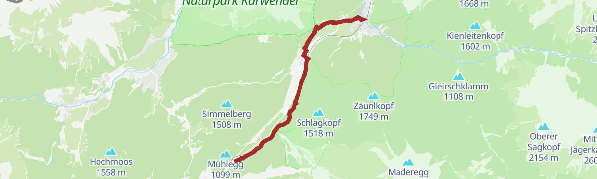
An easy-graded forest-track link from Seefeld down to Scharnitz, passing the Thalerhof and the Lutzler on the valley floor.
- 25.4 km
- Distance
- 247 m
- Ascent
- 2 h 29 min
- Duration
- 14
- Check-ins
Gravel - The Adventure Ride
A long gravel day out of the Leutasch valley by way of the Klamm and the Porta Claudia fortifications, with the Kalvarienberg viewpoint on the loop.
- 51.0 km
- Distance
- 1 136 m
- Ascent
- 5 h 36 min
- Duration
- 12
- Check-ins
Rundwanderung im Möserer Tal
Flat 3.2 km loop from the Seekirchl through the Möserer Tal, passing the sports arena and the WM-Turm platform.
- 3.2 km
- Distance
- 20 m
- Ascent
- 48 min
- Duration
- 7
- Check-ins
Wanderung von Seefeld nach Scharnitz
Nearly level 9.7 km walk from Seefeld to Scharnitz, following the Römerweg and the Hirnweg.
- 9.7 km
- Distance
- 52 m
- Ascent
- 2 h 39 min
- Duration
- 22
- Check-ins
Via Romea - Europäische Kulturroute Tiroler Etappe 1 & 2
A long day on the Tyrolean section of a European cultural route, passing the Porta Claudia and the Kalvarienberg on the way through Seefeld to Reith.
- 22.3 km
- Distance
- 332 m
- Ascent
- 6 h 20 min
- Duration
- 4
- Check-ins
Gravel - The Adventure Ride
A long gravel route from Telfs over the Kreithalm into the Leutasch, passing the Porta Claudia.
- 51.0 km
- Distance
- 834 m
- Ascent
- 5 h 19 min
- Duration
- 12
- Check-ins
Radwanderroute: Reith - Seefeld - Scharnitz
A signed cycle route from Reith across the Seefeld plateau and down to the Isar, finishing by the Porta Claudia viewpoint.
- 18.5 km
- Distance
- 221 m
- Ascent
- 1 h 51 min
- Duration
- 5
- Check-ins
W29: Winterrundwanderung im Möserer Tal
Gentle 3.2 km walk in the snow from the Seekirchl out into the Möserer Tal and back, almost flat.
- 3.2 km
- Distance
- 10 m
- Ascent
- 46 min
- Duration
- 7
- Check-ins
W19: Winterwanderung Wildmoosalm - Fludertal
Winter round of 11.7 km from Seefeld across the Wildmoos plateau and back through the Fludertal, with huts open on the way.
- 11.7 km
- Distance
- 248 m
- Ascent
- 3 h 21 min
- Duration
- 18
- Check-ins
W6: Winterwanderung von Seefeld nach Scharnitz
Winter link of 16.7 km following the Gießenbach from Seefeld down to Scharnitz, with 378 m of climb.
- 16.7 km
- Distance
- 219 m
- Ascent
- 4 h 27 min
- Duration
Radwanderroute: Reith - Seefeld - Scharnitz
A near-level cycle route dropping from the Seefeld plateau to Scharnitz at 964 m, passing the old Porta Claudia fortification.
- 18.5 km
- Distance
- 94 m
- Ascent
- 1 h 48 min
- Duration
- 5
- Check-ins
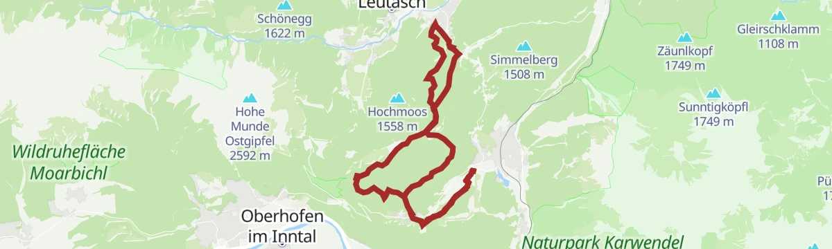
Wanderung von Leutasch nach Seefeld
Easy 5.3 km crossing from Leutasch to Seefeld through woods and small hamlets, with 155 m of climb and an inn on the way.
- 5.3 km
- Distance
- 155 m
- Ascent
- 1 h 34 min
- Duration
- 7
- Check-ins
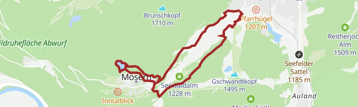
Rundwanderung von Seefeld zum Möserer See
A 9.5 km round from Seefeld to the Möserer See, passing the WM-Turm and the Toni Seelos ski jumps, with an inn at the lake.
- 9.5 km
- Distance
- 154 m
- Ascent
- 2 h 37 min
- Duration
- 16
- Check-ins
No routes of this kind in Seefeld in Tirol yet.
The region's own picks
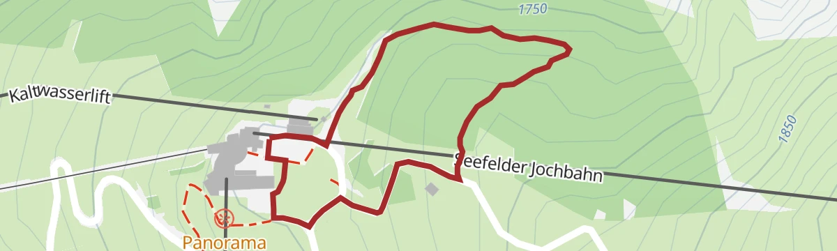
Featured route
Zirbenweg Bergstation Rosshütte
Short stone pine path of under 1 km at the Rosshütte top station, level enough for families, with the panorama restaurant at the start.
Planning a trip to Seefeld in Tirol?
Everything else Tyrol has, in one place


Take Seefeld in Tirol with you into the mountains
Every route on this page with 3D terrain, GPX navigation and offline maps — including the valleys with no signal.
Data sources
- Official website: seefeld.com ↗
- Routes and highlights: Region Seefeld, Innsbruck Tourismus
- Published as open data by the tourist boards named above.
- Region summary generated from the board's own material.
