
 Historic site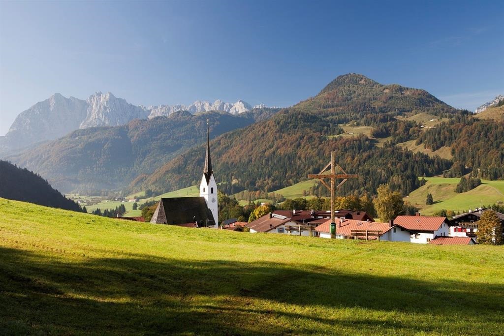
 Cable car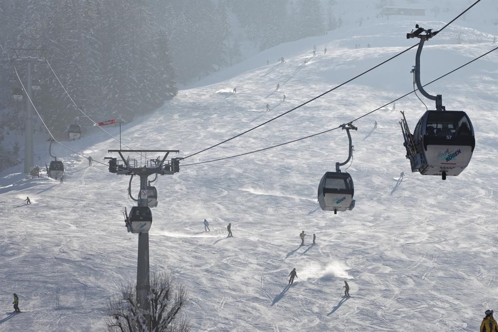










Curated by Kaiserwinkl Tourismus
Schwendt
A farming village of some 900 people at 702 m on the quiet southern edge of the Kaiserwinkl, under the north walls of the Wilder Kaiser.
- 5Highlights
- 28Routes
- Featured summit · Unterberghorn
Highlights
10 from neighbouring places
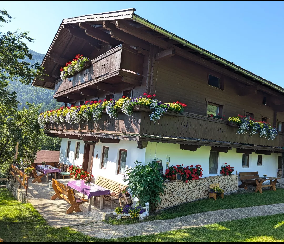
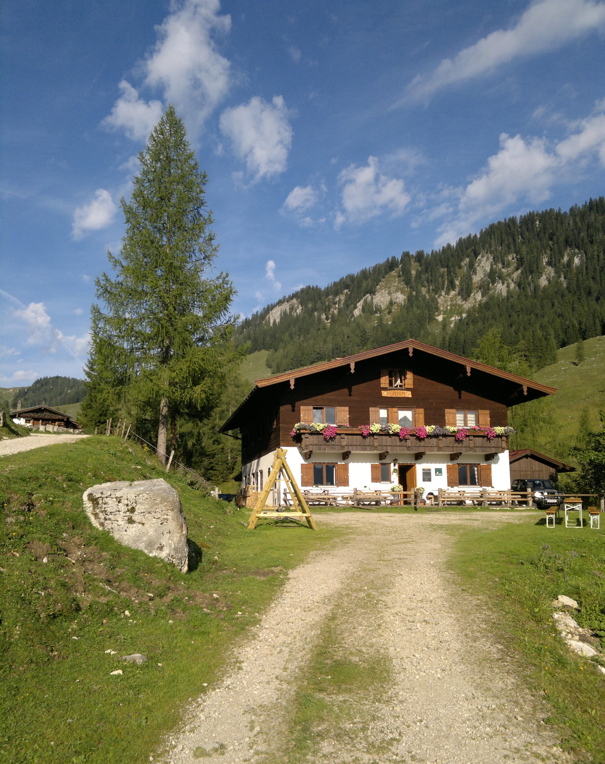
Berggasthof Kohlalm
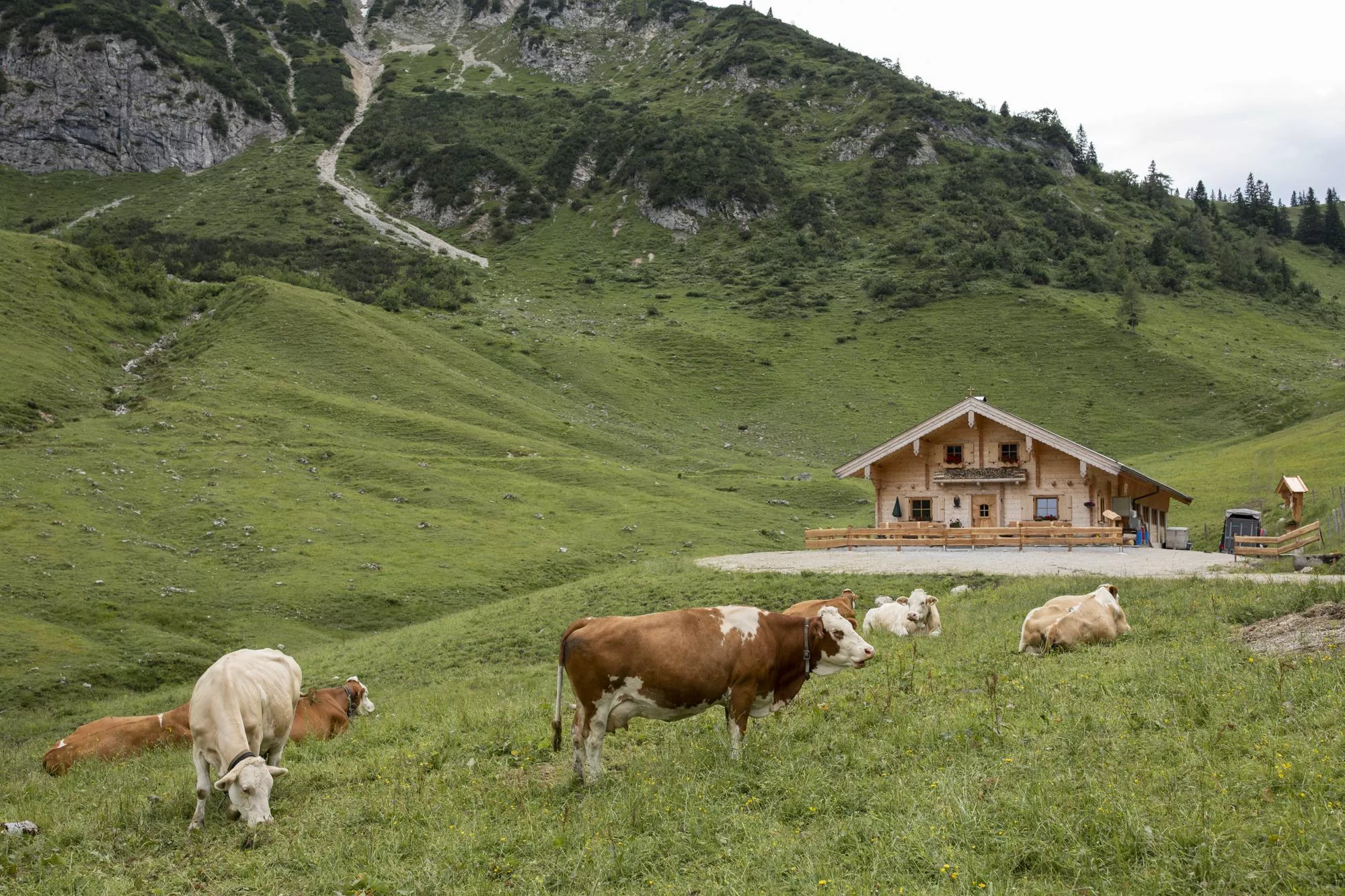
A mountain inn on the Kohlalm above Schwendt, serving regional cooking below the northern walls of the Kaisergebirge.
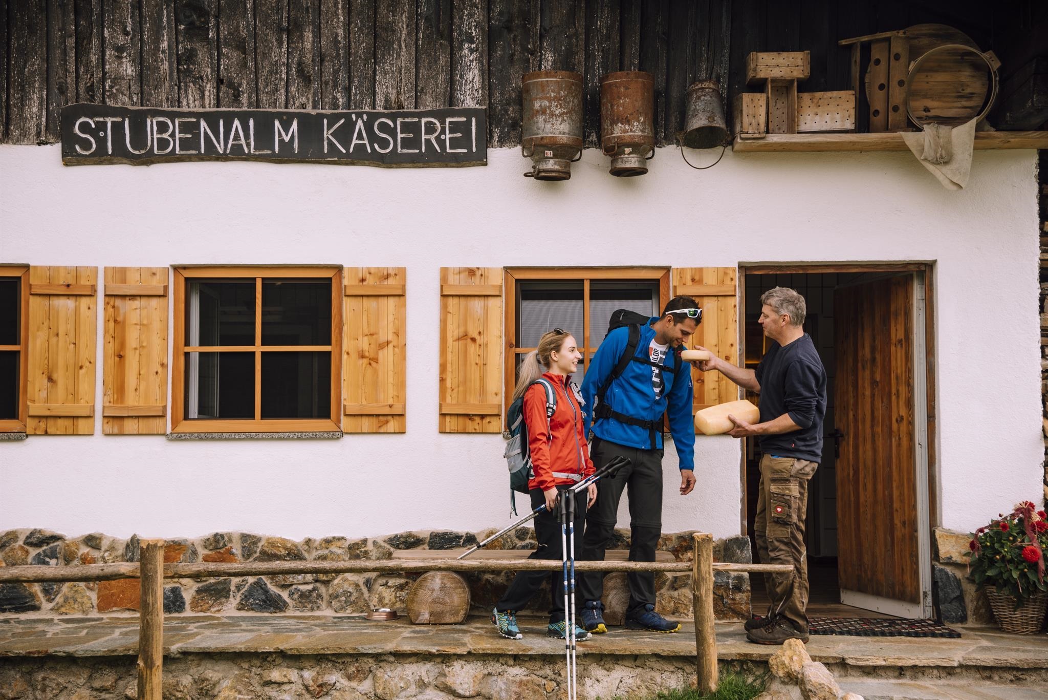
Stubenalm
A pasture and snack station above Schwendt at the northern foot of the Kaisergebirge, open to walkers in the summer season.
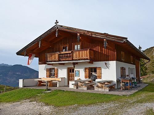
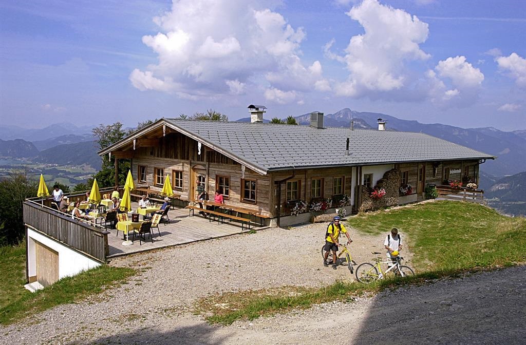
Untere Schnappenalm
A pasture hut on the lower Schnappen pastures above Schwendt, at the northern edge of the Kaisergebirge in the Kaiserwinkl.
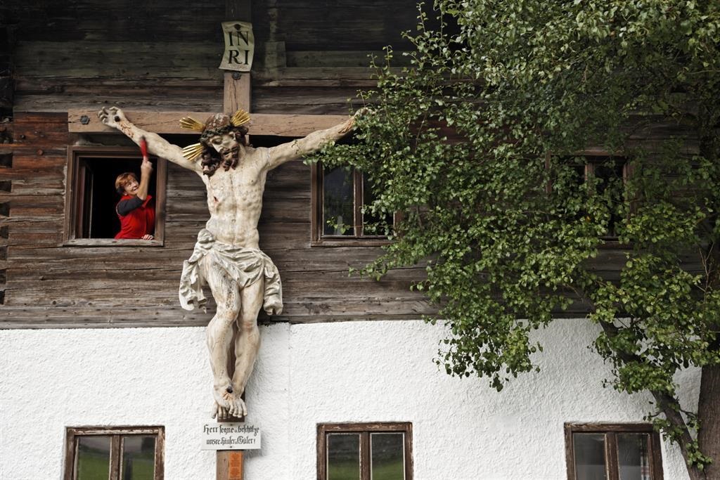
Lederer Herrgott
A carved wayside crucifix known as the Lederer Herrgott near Schwendt, a small devotional monument on the paths of the Kaiserwinkl.
Pfarrkirche Schwendt
The parish church of Schwendt, serving the small village at 702 m at the northern foot of the Kaisergebirge.
Raineralm
3.2 km away, in Kössen
An alm above Walchsee at the foot of the Zahmer Kaiser, a mountain restaurant stop on the area's walking routes.
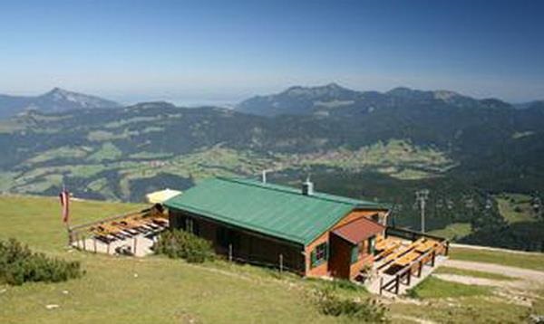
Bärenhütte
4.4 km away, in Kössen
A mountain hut above Kössen whose name means bear hut, serving regional food on the slopes of the Unterberghorn area.
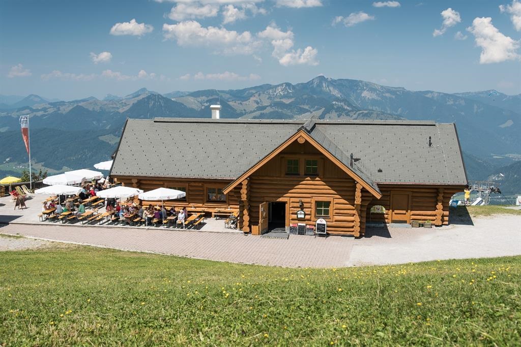
Unterberghornhütte
4.5 km away, in Kössen
A hut near the summit area of the Unterberghorn, the local mountain of Kössen, serving skiers and walkers using the Hochkössen lifts.
Alpengasthof Scheibenwald
4.5 km away, in Kössen
An alpine inn at Scheibenwald above Kössen, serving regional dishes to walkers and skiers in the Kaiserwinkl.
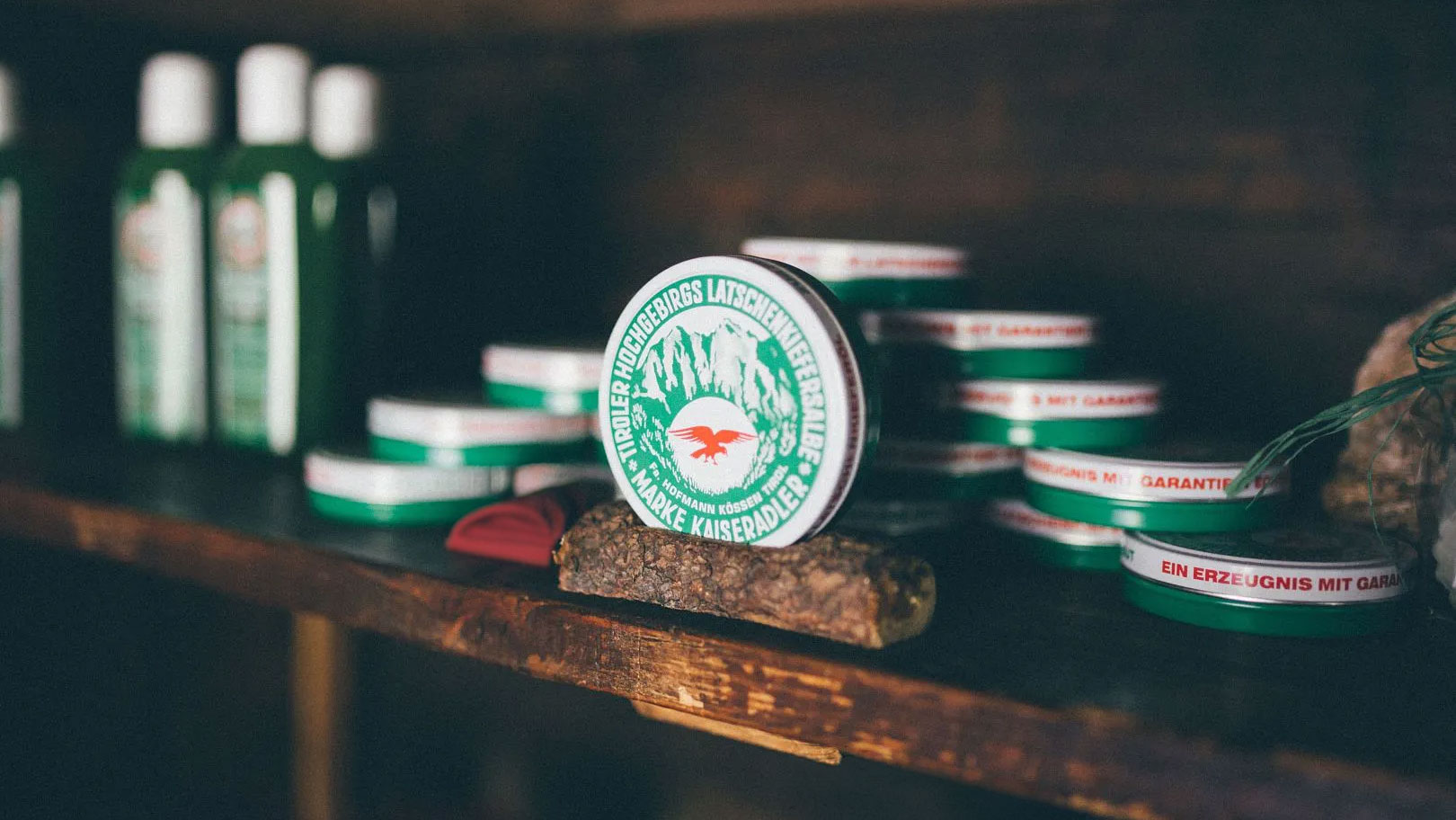
Latschenbrennerei Hofmann im Kaiserbachtal
4.7 km away, in Kirchdorf in Tirol
A traditional distillery in the Kaiserbachtal near Kirchdorf in Tirol, producing mountain-pine oil from dwarf pines by old methods.
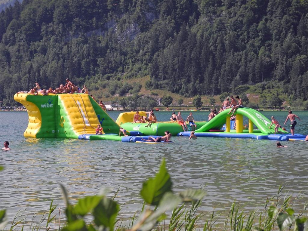
Badestrand Ostufer mit Aqua-Funpark
5.2 km away, in Kössen
A bathing beach on the east shore of the Walchsee with an inflatable Aqua Funpark on the water and a playground for children.
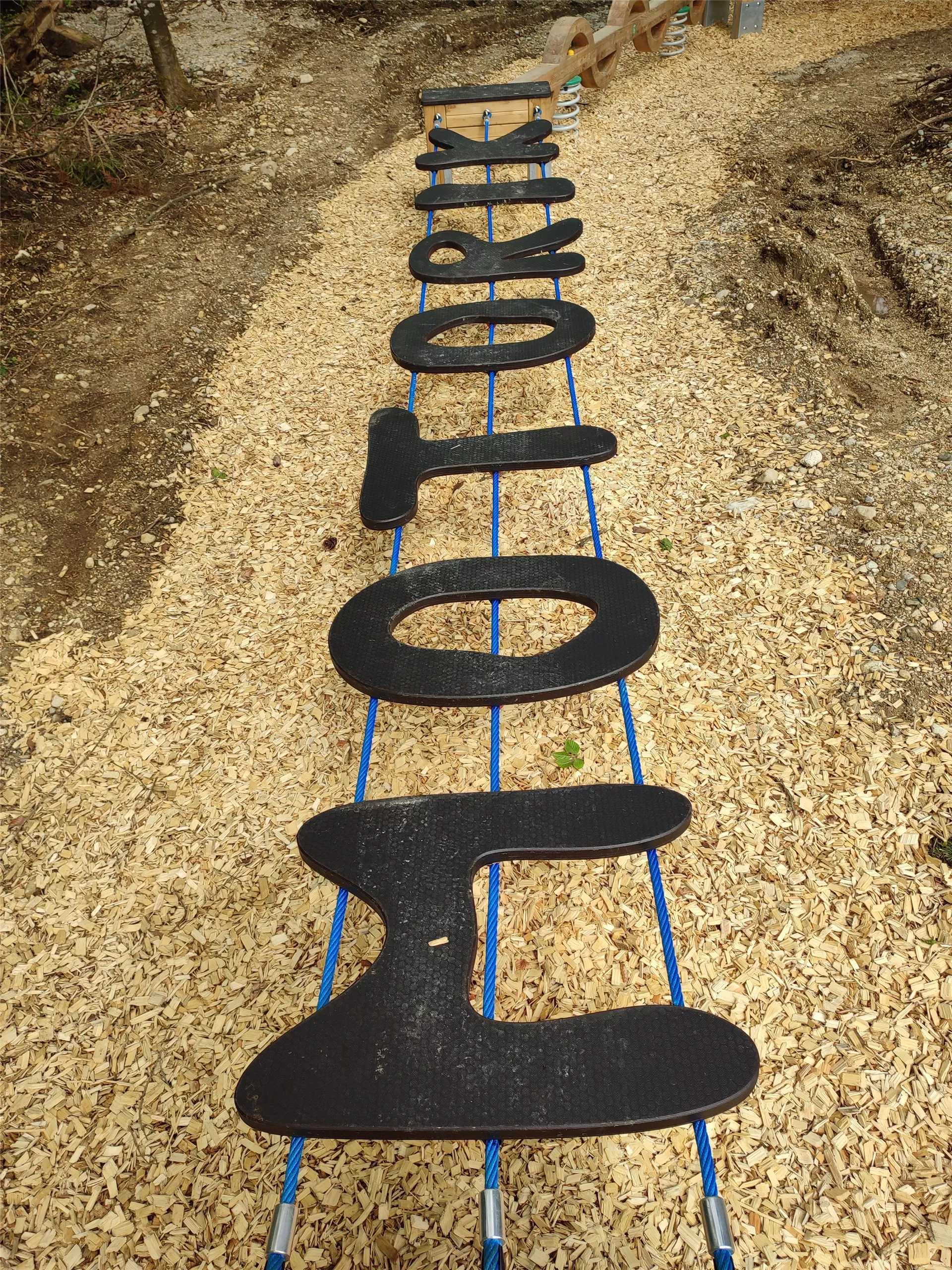
Motorikpark Kössen
5.2 km away, in Kössen
An outdoor motor-skills park in Kössen with exercise stations for balance, climbing and coordination, laid out for families and sports groups.
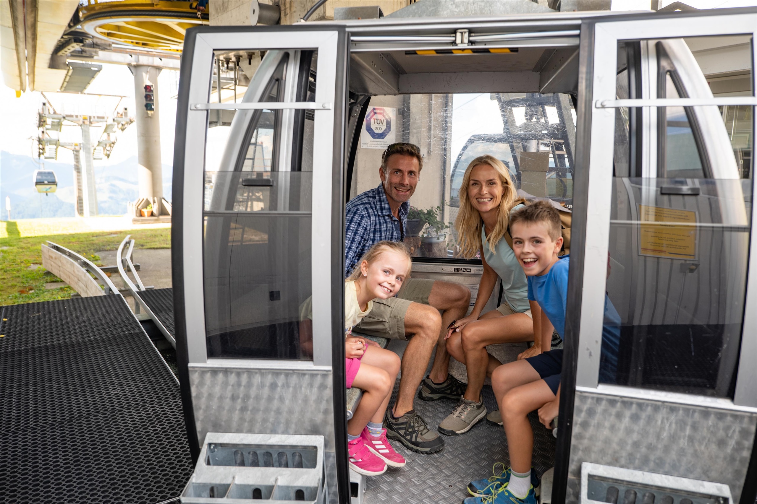
Bergbahnen Hochkössen Sommerbetrieb
5.5 km away, in Kössen
The summer operation of the Hochkössen lifts at Kössen, carrying walkers up the Unterberghorn for ridge and pasture hikes in the Chiemgau Alps.
Bergbahnen Hochkössen Winterbetrieb
5.5 km away, in Kössen
The winter operation of the Hochkössen lifts at Kössen, serving the ski slopes on the Unterberghorn above the village at 590 m.
Almkäserei Feldalm
5.8 km away, in Walchsee
An alpine cheese dairy on the Feldalm above Walchsee, where cheese is made during the summer and walkers can stop for simple regional food.
Nothing of this kind in Schwendt.
Routes
Premiumwanderweg Quellenweg
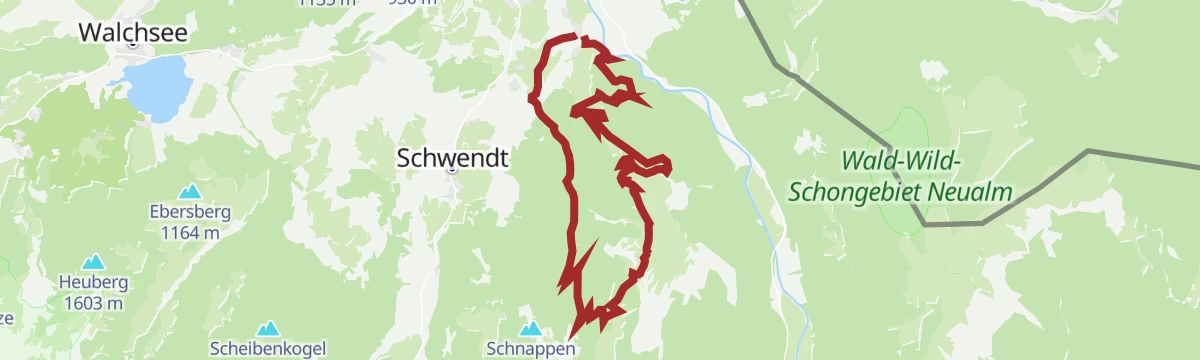
Flat certified trail along the springs of the Kohlental at Schwendt, passing the old Kohlentalmühle.
- 3.6 km
- Distance
- 30 m
- Ascent
- 54 min
- Duration
- 2
- Check-ins
Kohlalm - Feldberg
Ascent on path 74 by the Berggasthof Kohlalm to the Feldberg and the Wasserlahnerkopf, returning over the Obere Scheibenbichlalm.
- 8.0 km
- Distance
- 623 m
- Ascent
- 4 h 2 min
- Duration
- 16
- Check-ins
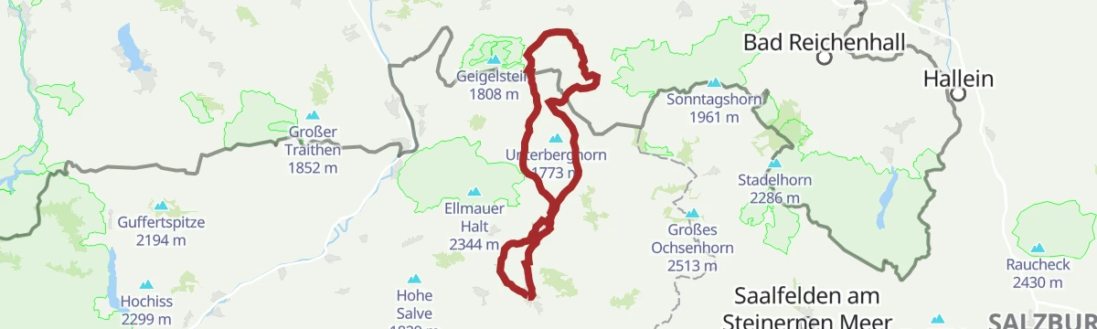
Kössen - Unterberghorn - Lackalm
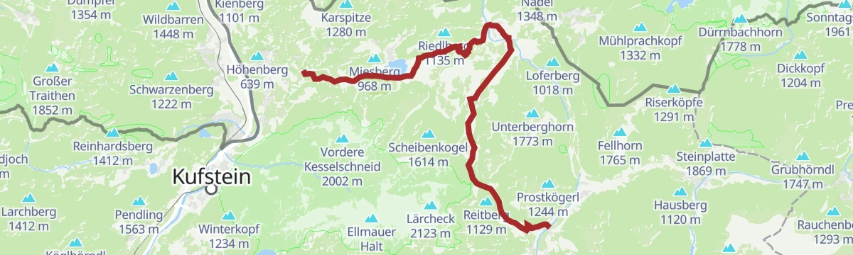
A big day from Kössen to the Unterberghorn and on by the Kaiseralm to the Lackalm, 21 km with 1,170 m of climbing.
- 21.4 km
- Distance
- 1 189 m
- Ascent
- 8 h 25 min
- Duration
- 31
- Check-ins
Kohlalm
A short forest-road climb above Schwendt in the Kaiserwinkl, gaining close to 600 m to a mountain inn at 1,194 m.
- 6.8 km
- Distance
- 578 m
- Ascent
- 59 min
- Duration
- 3
- Check-ins
Kaiserwinkl Runde
A flat 32 km circuit between Kössen and the Walchsee, running past the lakeside campsites and the Kaiseralm at 629 m.
- 32.1 km
- Distance
- 264 m
- Ascent
- 3 h 6 min
- Duration
- 17
- Check-ins
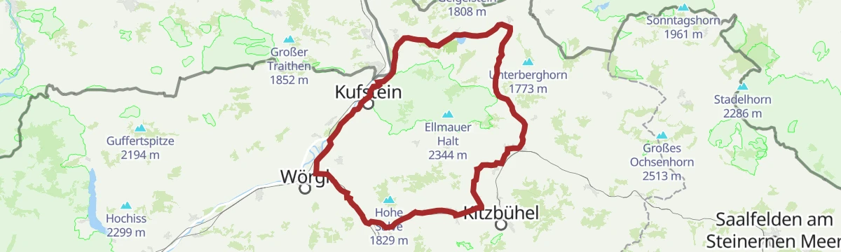
02 - Rund um die Salve und den Kaiser
A long road loop out of Scheffau down to Kufstein and back through Hopfgarten, passing the Erlensee on the return.
- 95.3 km
- Distance
- 1 074 m
- Ascent
- 9 h 28 min
- Duration
- 34
- Check-ins
Dorfrunde Schwendt
Very short village circuit through Schwendt on path 63, under 2 km and nearly flat.
- 1.9 km
- Distance
- 49 m
- Ascent
- 33 min
- Duration
Kohlental - Kohlalm (Sommertour)
Summer line to the Berggasthof Kohlalm, a steep 590 m in 4.4 km up out of the Kohlental.
- 4.4 km
- Distance
- 554 m
- Ascent
- 2 h 14 min
- Duration
- 3
- Check-ins
Kohlental - Stubenalm - Schnappenstein
A 1,000 m climb from the Kohlental past the Stubenalm and both Schnappenalm huts to the Schnappenstein.
- 8.3 km
- Distance
- 877 m
- Ascent
- 3 h 47 min
- Duration
- 6
- Check-ins
Mozartradweg Etappe 12, 13
Two linked stages through the Kaiserwinkl, running past the Stausee Kirchdorf and Kössen to the Pflanzgarten Hütte above the valley.
- 37.5 km
- Distance
- 423 m
- Ascent
- 3 h 41 min
- Duration
- 15
- Check-ins
 Pflanzgarten Hütte 750 m
- Liftstüberl 688 m
 Stausee Kirchdorf 725 m
- Kaiseralm 629 m
- Kössen 590 m
- Riedlhof 668 m
- +1
8 Rund um den Wilden Kaiser
A long road circuit of the Wilder Kaiser from Ellmau, running out to Walchsee and back by way of Kitzbühel and the Ellmauer Alm.
- 87.9 km
- Distance
- 1 199 m
- Ascent
- 8 h 56 min
- Duration
- 31
- Check-ins
Schwendt - Aschentalrunde
Short, gentle round out of Schwendt into the Aschental, 2.4 km with almost nothing to climb.
- 2.3 km
- Distance
- 58 m
- Ascent
- 41 min
- Duration
Schnappenstein
Long approach from the Gasthof Altmühl side to the Schnappen's rocky lookout summit, via the Stubenalm and Schnappenalm pastures above Schwendt.
- 14.1 km
- Distance
- 955 m
- Ascent
- 6 h 24 min
- Duration
- 6
- Check-ins
Käseradrunde
A long, gently graded round between Walchsee and Kössen taking in the dairy farms of the Kaiserwinkl, with the Kaiseralm on the way.
- 38.9 km
- Distance
- 320 m
- Ascent
- 3 h 45 min
- Duration
- 15
- Check-ins
12 Kleine Bayern-Runde
A ninety-five-kilometre road loop out of Kitzbühel that dips across the Bavarian border, returning by Klobenstein and the Kohlentalmühle.
- 95.3 km
- Distance
- 1 302 m
- Ascent
- 9 h 41 min
- Duration
- 28
- Check-ins
Schwendt - Lucknerhof - Schwendt
Easy 5 km round from Schwendt out to the Lucknerhof and back on path 62.
- 5.1 km
- Distance
- 80 m
- Ascent
- 1 h 23 min
- Duration
Niederhausertal - Lackalm - Schnappenstein
Approach from the Niederhausertal by the Lackalm and the Obere Schnappenalm to the Schnappen and the Schnappenstein.
- 10.2 km
- Distance
- 890 m
- Ascent
- 4 h 5 min
- Duration
- 3
- Check-ins
Um den Unterberg
A long, nearly level circuit on valley tracks from Kössen, passing the reservoir at Kirchdorf, the Kaiseralm and the Pflanzgarten Hütte.
- 36.1 km
- Distance
- 296 m
- Ascent
- 3 h 28 min
- Duration
- 12
- Check-ins
- Pflanzgarten Hütte 750 m
- Stausee Kirchdorf 725 m
- Kaiseralm 629 m
- Sigis Sportklause 613 m
- Kössen 590 m
- Pinsgerhof 607 m
- +3
Wilde Kaiser Rennrad Runde
A full day on the road from Scheffau round to Walchsee and back through Kufstein, a circuit of the whole massif on valley roads.
- 95.3 km
- Distance
- 914 m
- Ascent
- 9 h 19 min
- Duration
- 24
- Check-ins
Schwendt Kohlentalrunde
Easy valley round from Schwendt into the Kohlental and back, 5.5 km on path 61.
- 5.6 km
- Distance
- 82 m
- Ascent
- 1 h 30 min
- Duration
Scheibenkogel
Steep ascent of the Scheibenkogel, 1,000 m in under 7 km, past the Unterbichlalm, the Boariedalm and the ruined Kogelalm.
- 6.7 km
- Distance
- 958 m
- Ascent
- 3 h 52 min
- Duration
Kaiserwinkl - Challenge Strecke
A long circuit through the Kaiserwinkl on forest roads, starting at the lake in Walchsee and passing the Capella Verticale viewpoint.
- 43.5 km
- Distance
- 429 m
- Ascent
- 4 h 15 min
- Duration
- 11
- Check-ins
07 - Weltcup-Runde Bayern-Tirol
A long road loop between Bavaria and Tyrol, linking Kufstein with Walchsee and returning past the farms of Aschenau on the Tyrolean side.
- 88.1 km
- Distance
- 955 m
- Ascent
- 8 h 43 min
- Duration
- 18
- Check-ins
Schwendt-E-Werk-Schwendt
Short round from Schwendt out to the power house and back, linking paths 65, 56, 12 and 61.
- 5.0 km
- Distance
- 131 m
- Ascent
- 1 h 30 min
- Duration
Kohlentalradweg
A forest-road ride out of Kössen past the Stausee Kirchdorf reservoir, passing the Kaiseralm and the Pflanzgarten Hütte.
- 21.3 km
- Distance
- 245 m
- Ascent
- 2 h 6 min
- Duration
- 10
- Check-ins
- Pflanzgarten Hütte 750 m
- Stausee Kirchdorf 725 m
- Kaiseralm 629 m
- Kössen 590 m
- Tourismusbüro Kirchdorf 641 m
6 Weltcup-Runde
A long valley circuit through the Kitzbühel World Cup country, by the Pflanzgarten hut and the Aschenau farm.
- 66.4 km
- Distance
- 818 m
- Ascent
- 6 h 39 min
- Duration
- 14
- Check-ins
Rennradrunde - Um den Unterberg: Start Kirchdorf in Tirol
A road round of the Unterberg from Kirchdorf, past the Kirchdorf reservoir and the Kaiseralm.
- 33.3 km
- Distance
- 432 m
- Ascent
- 3 h 21 min
- Duration
- 11
- Check-ins
- Pflanzgarten Hütte 750 m
- Stausee Kirchdorf 725 m
- Kaiseralm 629 m
- Sigis Sportklause 613 m
- Pinsgerhof 607 m
- Kleisleralm 617 m
- +2
Die Weltcup Runde
A long road circuit through the Kitzbühel World Cup country, out by Kössen and back past the Fleckalmbahn.
- 74.8 km
- Distance
- 646 m
- Ascent
- 7 h 14 min
- Duration
- 8
- Check-ins
No routes of this kind in Schwendt yet.
The region's own picks

Featured route
Premiumwanderweg Quellenweg
Flat certified trail along the springs of the Kohlental at Schwendt, passing the old Kohlentalmühle.
Planning a trip to Schwendt?
Everything else Tyrol has, in one place


Take Schwendt with you into the mountains
Every route on this page with 3D terrain, GPX navigation and offline maps — including the valleys with no signal.
Data sources
- Official website: kaiserwinkl.com ↗
- Routes and highlights: Kaiserwinkl Tourismus, Kitzbüheler Alpen Tourismus, Kitzbühel Tourismus, Kufsteinerland
- Published as open data by the tourist boards named above.
- Region summary generated from the board's own material.
