
Curated by Vorarlberg Tourismus
Schwarzenberg
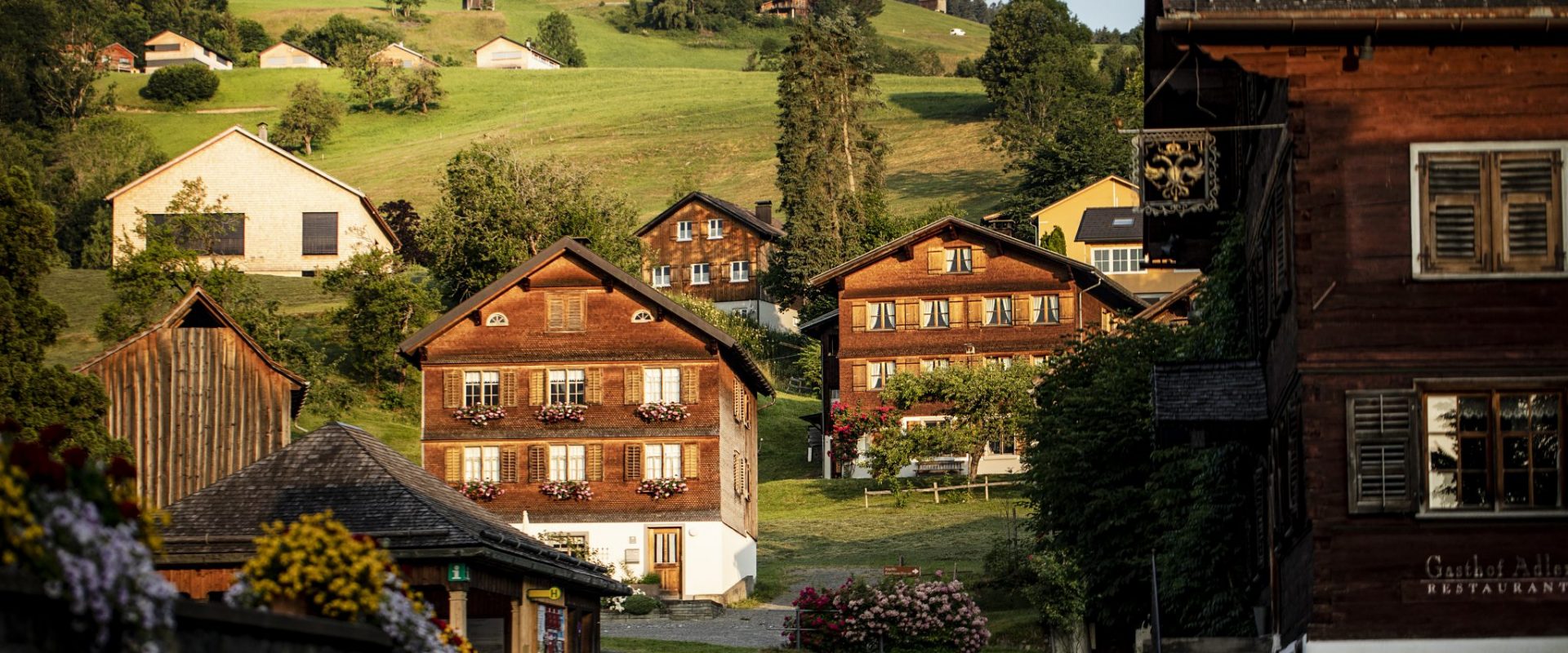
A Bregenzerwald village at just under 700 m on the terrace above the Bregenzer Ach, its shingled houses and church tied to the painter Angelika Kauffmann.
- 12Highlights
- 38Routes
Highlights
3 from neighbouring places
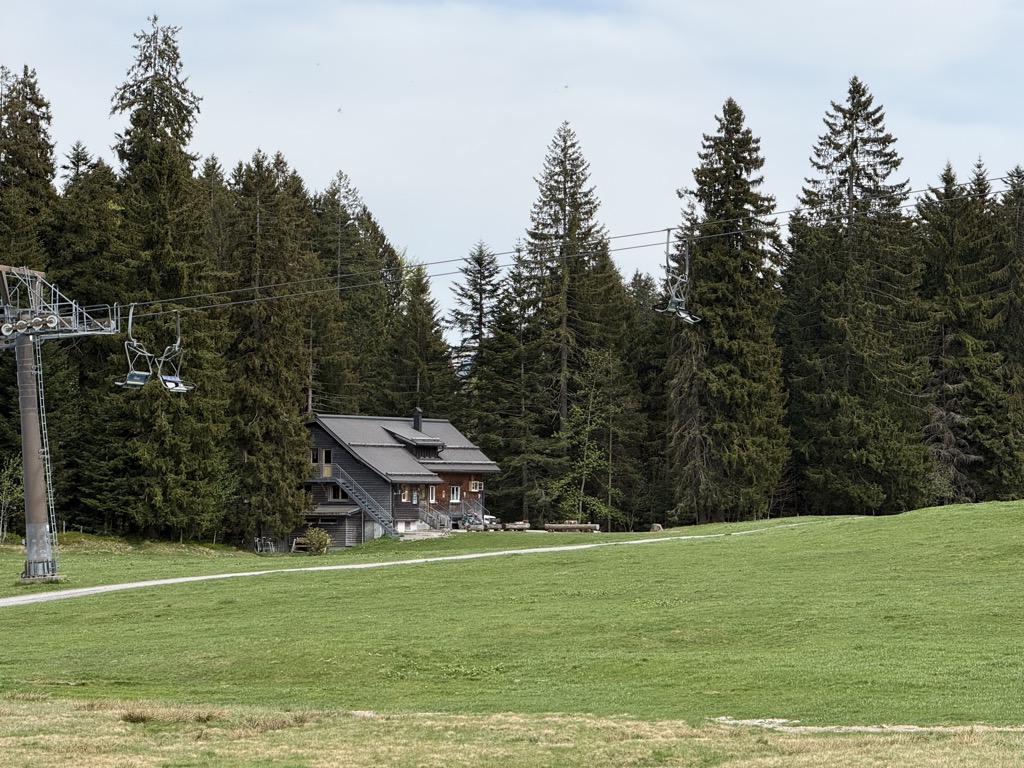
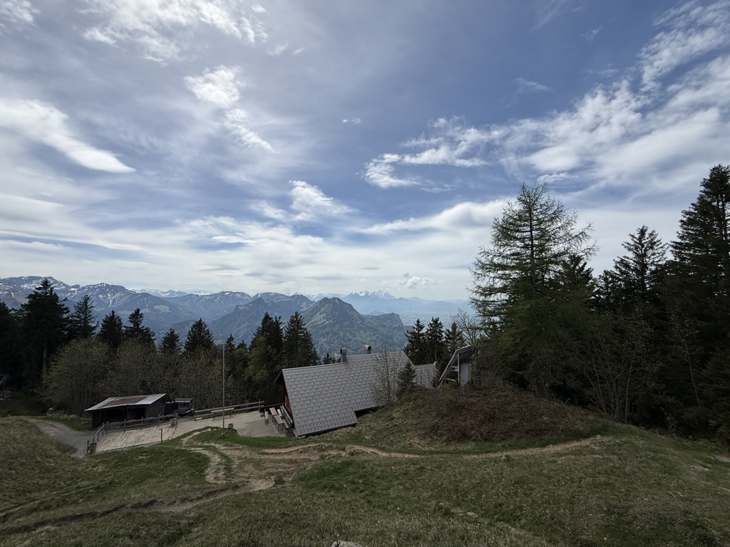
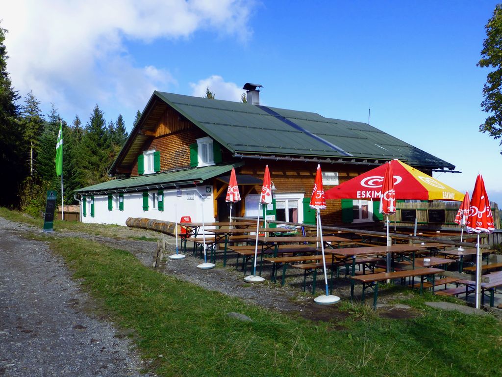
Dornbirner Hütte
A staffed hut at about 1,190 m on the Bödele, called the Reichsbundhütte until it was renamed in 2005.
Europaschutzgebiet Fohramoos
A Natura 2000 bog at the Losenpass Bödele, above 1000 m between Dornbirn and Schwarzenberg.
Geißkopf
A 1,198 m mountain of the Bregenzerwald range standing in the municipality itself.
Hochälpelehütte
A hut at 1,460 m on the Hochälpele, the highest of the three that stand on the Bödele high ground.
Lustenauer Hütte
A refuge of the Vorarlberg section of the Austrian Alpine Club, at 1,250 m on the Bödele high ground.
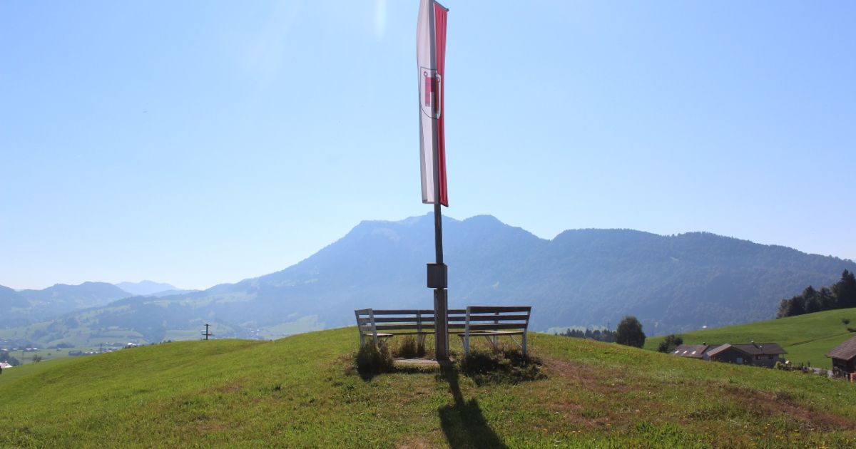
Aussichtspunkt Angelikahöhe mit FREI:LUFT Bücherbox
A viewpoint at the Angelikahöhe above Schwarzenberg in the Bregenzerwald, with an open-air book exchange box.
Skifahren am Bödele
Skiing on the Bödele above Dornbirn, gentle pisted terrain over the valley.
Skigebiet Bödele-Schwarzenberg
The ski area on the Bödele pass, which suits beginners and confident skiers equally.
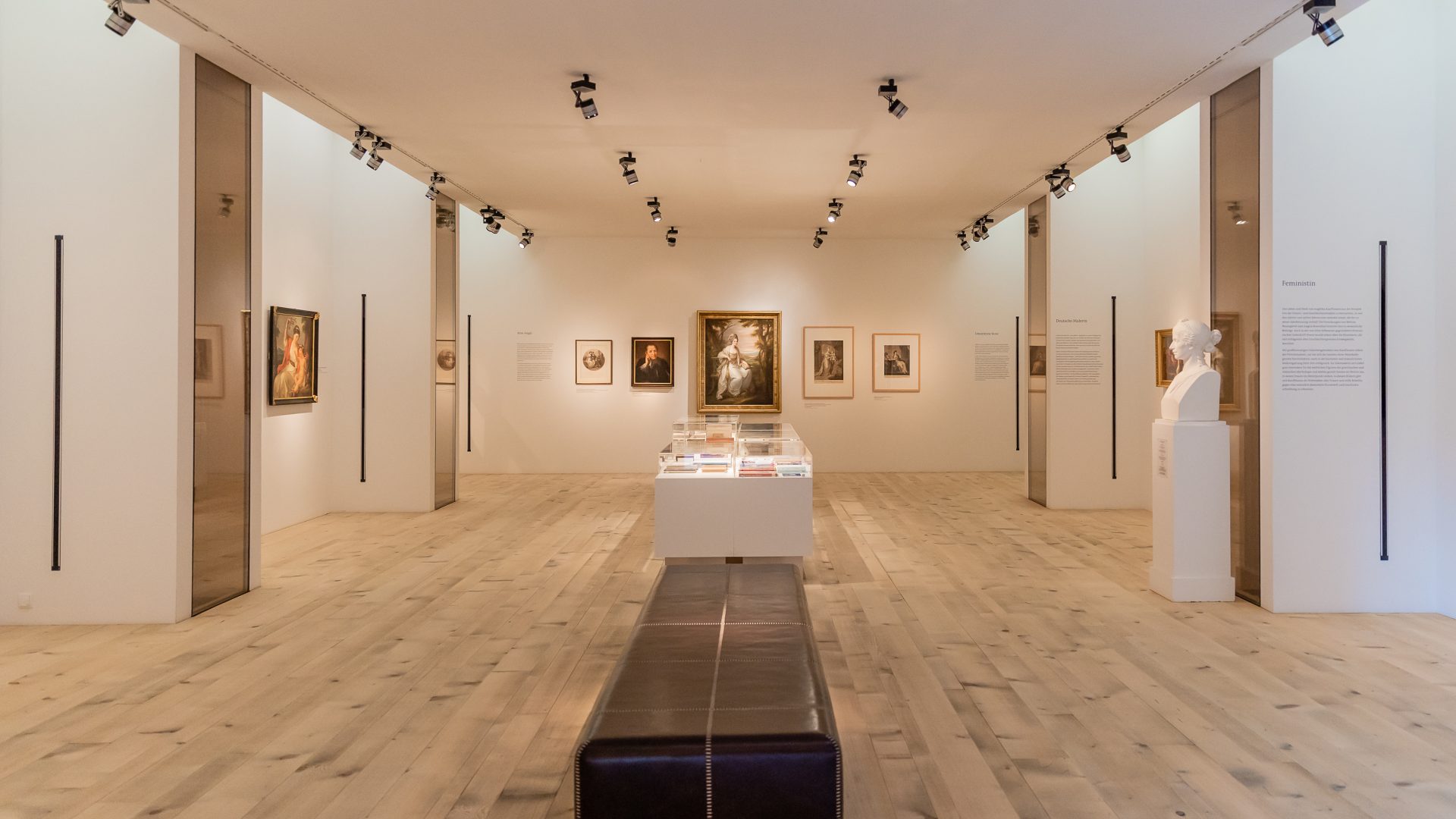
Angelika Kauffmann Museum Schwarzenberg
A modern museum room of 2007, hidden in the former farm wing of a Bregenzerwald house over 450 years old.
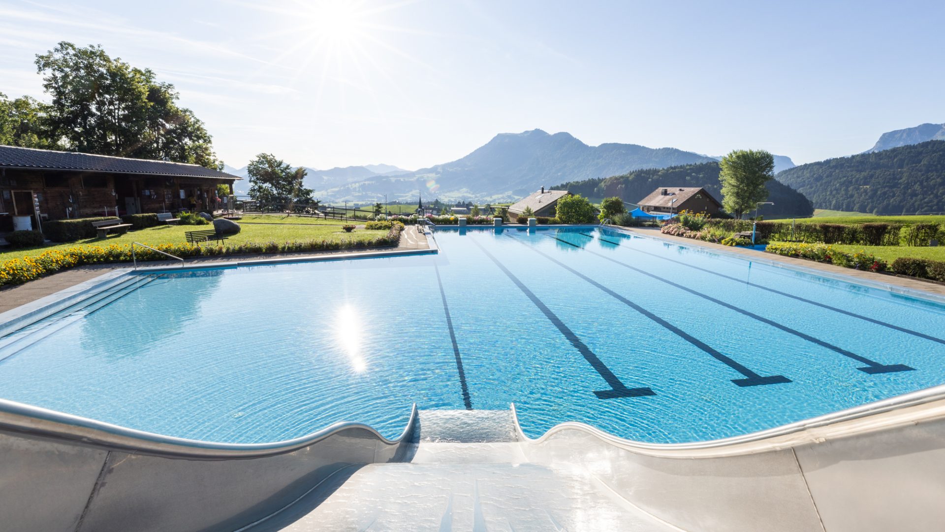
Schwimmbad Schwarzenberg
A small open-air pool above the village, sunny and quiet, looking out over the surrounding country.
Losenpass
An Alpine pass of the Bregenzerwald range at 1,139 m, on the Bödele high ground.
Kleiner Kinderspielplatz
A small children's playground at Schwarzenberg in the Bregenzerwald in Vorarlberg.
Brüggelekopf
3.5 km away, in Alberschwende
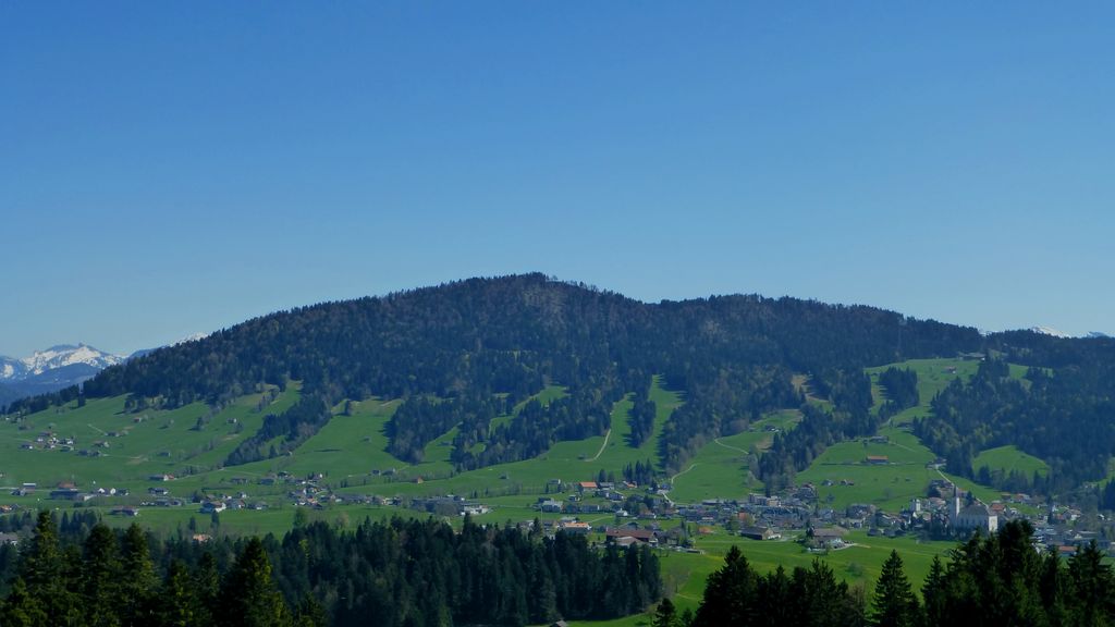
The village's own mountain at 1,182 m, a summit of the Bregenzerwald range reached from the old lift station.
Bauernhof be-greifen in Egg
3.5 km away, in Egg
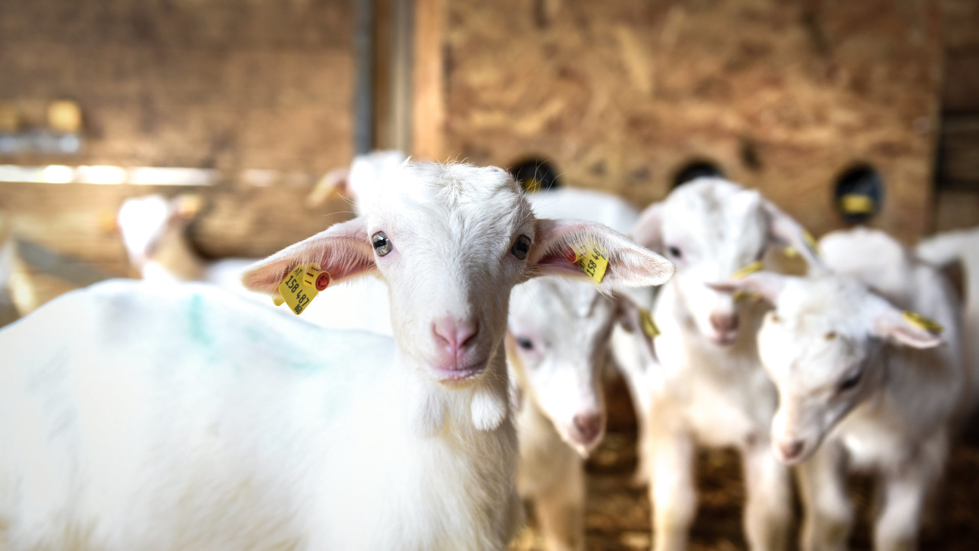
A working farm run to be walked through, where the whole agricultural cycle can be watched at close quarters.
kulturverein bahnhof Andelsbuch
4.1 km away, in Andelsbuch
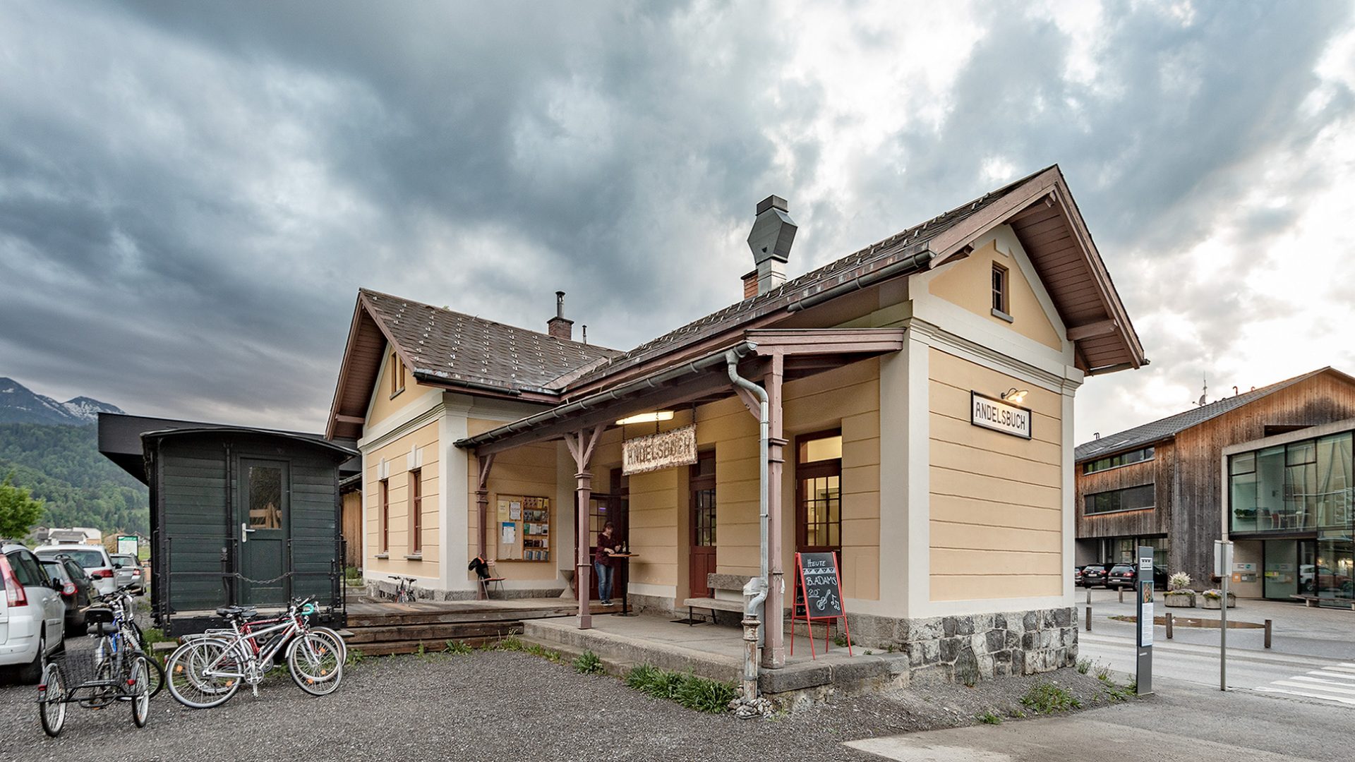
The converted Andelsbuch station, built under the monarchy and now host to over forty cultural events a year.
 Mountain hut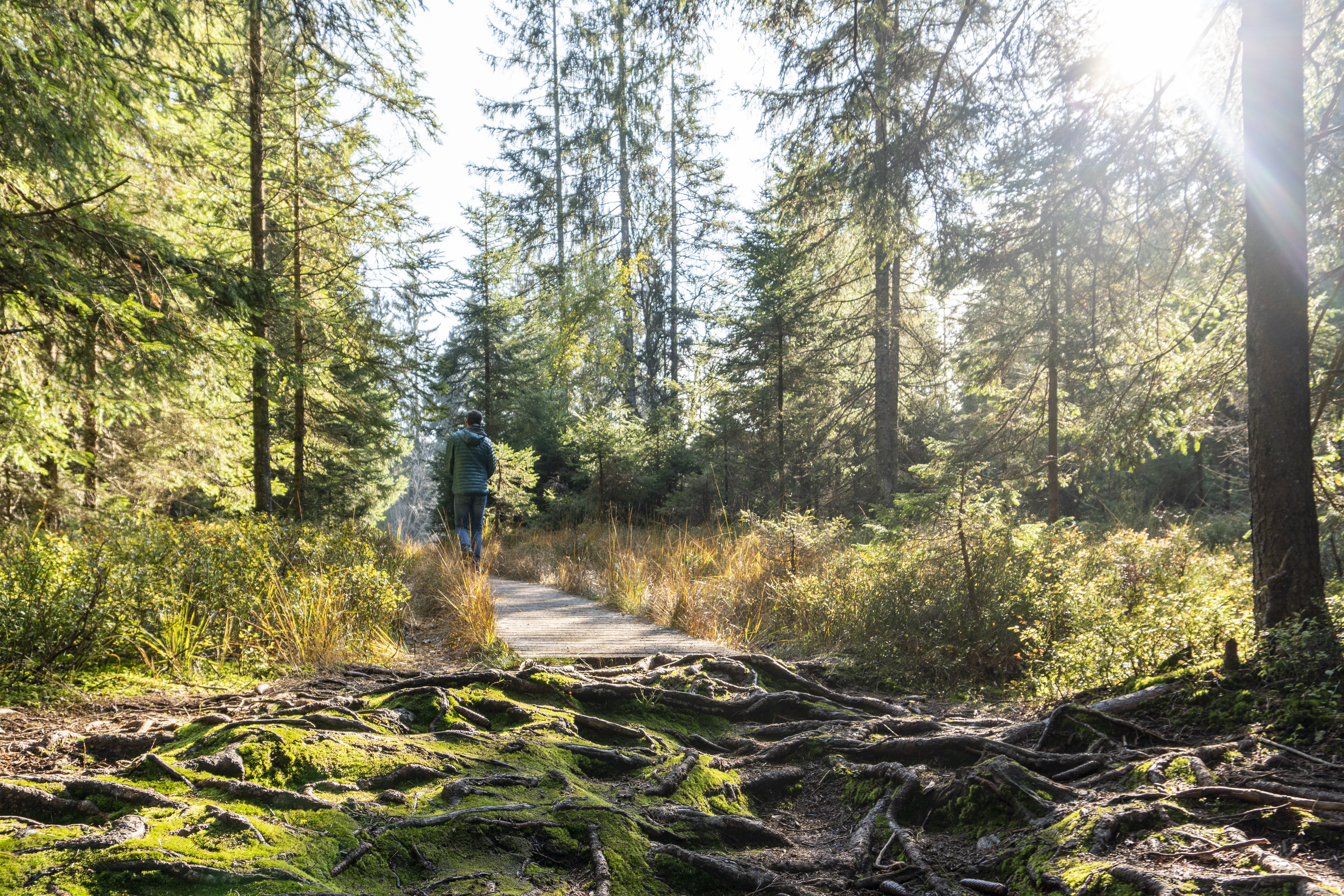
 Viewpoint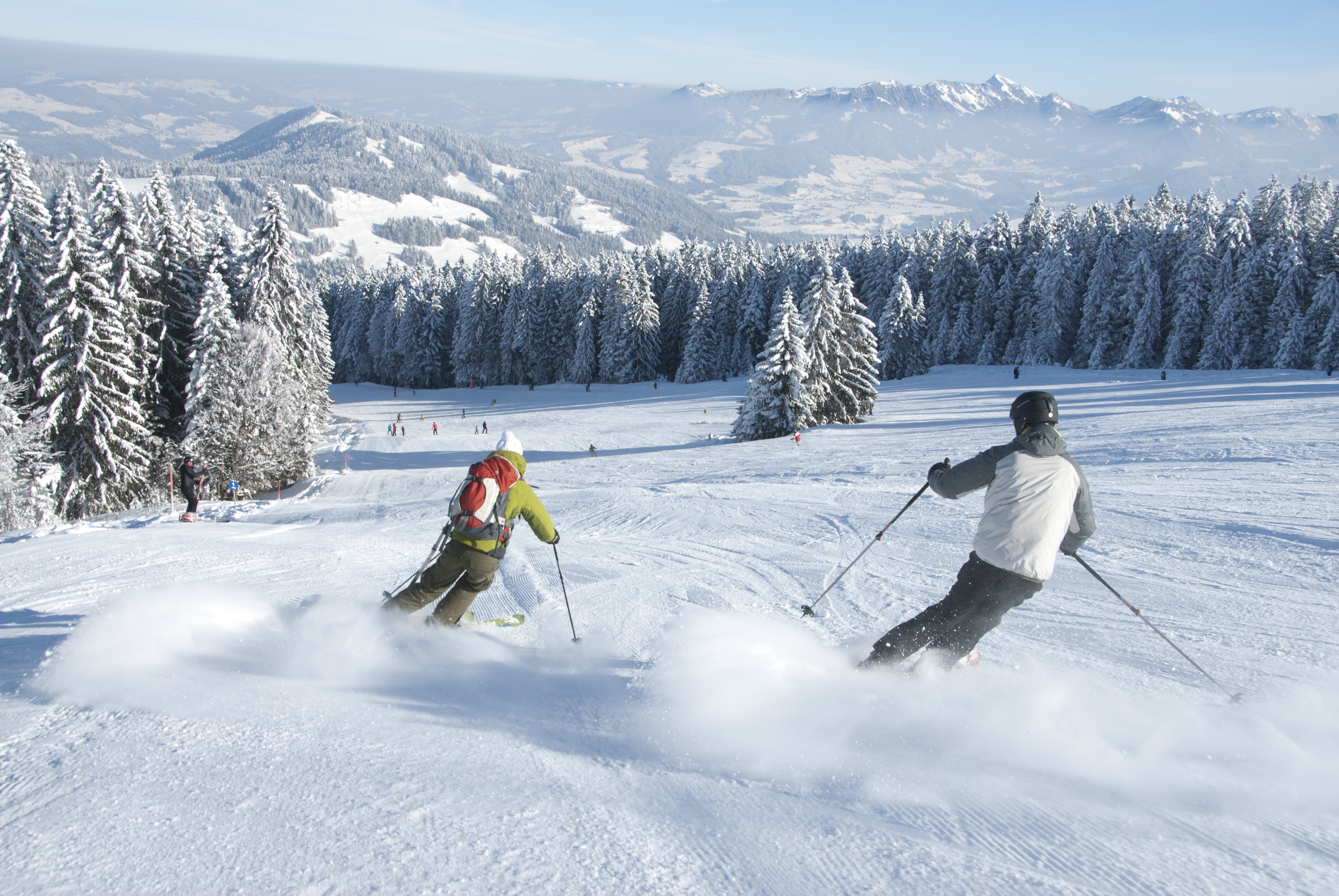
 Cable car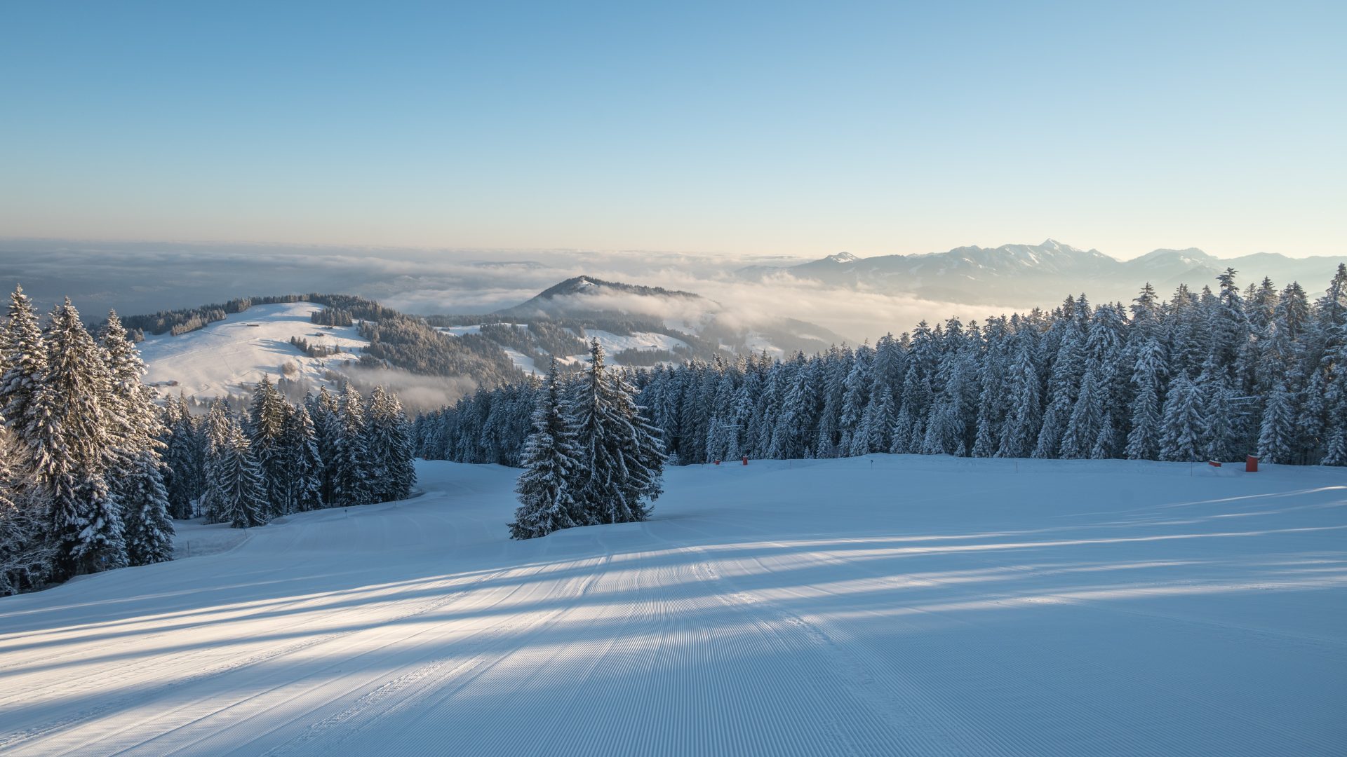
 Mountain pass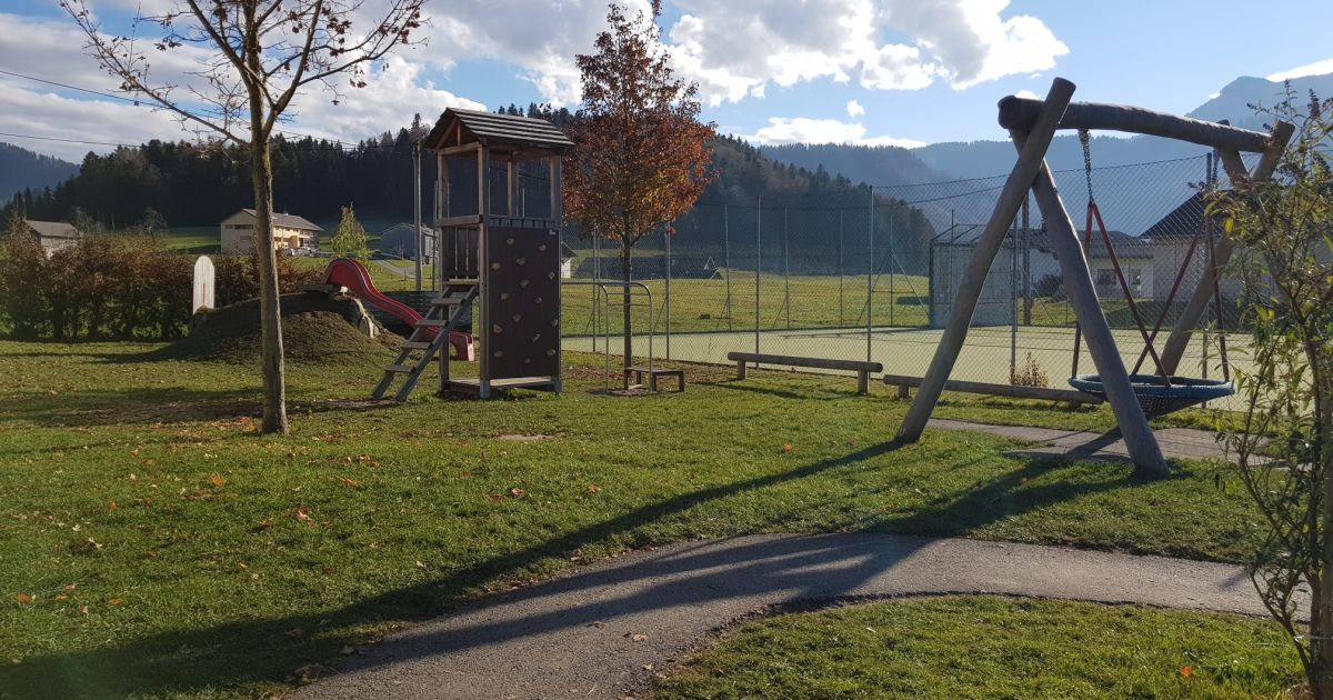
 Historic site
Nothing of this kind in Schwarzenberg.
Routes
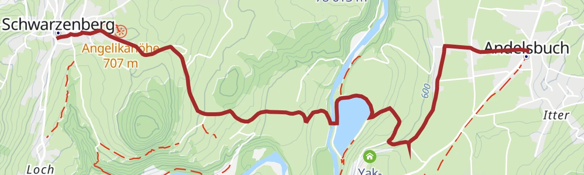
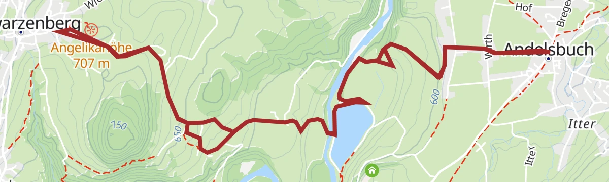
Andelsbuch | Winterwanderung Andelsbuch – Schwarzenberg
A short winter walk from Andelsbuch across to the neighbouring village of Schwarzenberg.
- 4.9 km
- Distance
- 133 m
- Ascent
- 1 h 24 min
- Duration
Open route Vorarlberg TourismusAlberschwende | Gipfelerlebnis am Brüggelekopf
From the valley station of the old Brüggelekopf lift up a good alp road over Lanzen and the Tannerberg to the summit.
- 10.0 km
- Distance
- 459 m
- Ascent
- 3 h 29 min
- Duration
Open route Vorarlberg TourismusAlberschwende | Sagenweg von Alberschwende bis Andelsbuch
The legend trail run the other way, from Alberschwende to Andelsbuch, well signed and suited to families.
- 17.7 km
- Distance
- 629 m
- Ascent
- 5 h 48 min
- Duration
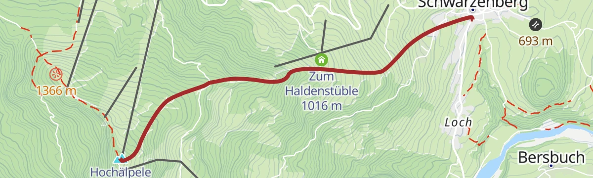
Open route Vorarlberg TourismusSchwarzenberg - Hochälpelekopf
Hochälpelekopf from Schwarzenberg: 761 m of climbing in 4.3 km, topping out at 1,460 m.
- 3.5 km
- Distance
- 0 m
- Ascent
- 0 m
- Descent
- 51 min
- Duration
Open route PeakVisor tTRL (OpenStreetMap piste_type=skitour)Bödele - Guntenspitze
From Bödele at 1,101 m, 858 m of ascent over 8.5 km to Guntenspitze.
- 8.4 km
- Distance
- 0 m
- Ascent
- 0 m
- Descent
- 2 h 3 min
- Duration
Open route PeakVisor tTRL (OpenStreetMap piste_type=skitour)St. Anton - Lech - Bregenzerwald - Bodensee
A long road stage crossing the Arlberg, the Flexenpass and the Losenpass on the way from Tirol down to the shore of Lake Constance.
- 87.4 km
- Distance
- 2 340 m
- Ascent
- 9 h 57 min
- Duration
- 175
- Check-ins
Bödele | Sonnenuntergangswanderung auf den Lank
A short evening climb from the Bödele to the 1,383 m Lank, which looks out to Lake Constance.
- 4.8 km
- Distance
- 240 m
- Ascent
- 1 h 44 min
- Duration
Open route Vorarlberg TourismusAlberschwende | Rundweg auf den Brüggelekopf über Maltach
From the village square over the hamlets of Maltach and Schwanteln to the Brüggelekopf, down by the ridge path.
- 12.1 km
- Distance
- 518 m
- Ascent
- 4 h 8 min
- Duration
Open route Vorarlberg TourismusAndelsbuch | Sagenweg – von Andelsbuch nach Alberschwende
The legend trail of the three blessed siblings Merbot, Diedo and Ilga, said to be of the counts of Bregenz.
- 16.6 km
- Distance
- 655 m
- Ascent
- 5 h 24 min
- Duration
Open route Vorarlberg TourismusSchwarzenberg | Skitour Hochälpelekopf
A beginner's ski tour to a 1,464 m viewpoint over the Bregenzerwald, with the Hochälpele Hütte a few metres below the summit.
- 4.2 km
- Distance
- 495 m
- Ascent
- 128 m
- Descent
- 1 h 38 min
- Duration
Open route Vorarlberg Tourismus GmbHAlberschwende | Achtalweg bis Andelsbuch – Bödele – Alberschwende
A long e-bike round by Egg, Andelsbuch and Schwarzenberg up to the Bödele, returning through Dornbirn.
- 39.2 km
- Distance
- 966 m
- Ascent
- 4 h 23 min
- Duration
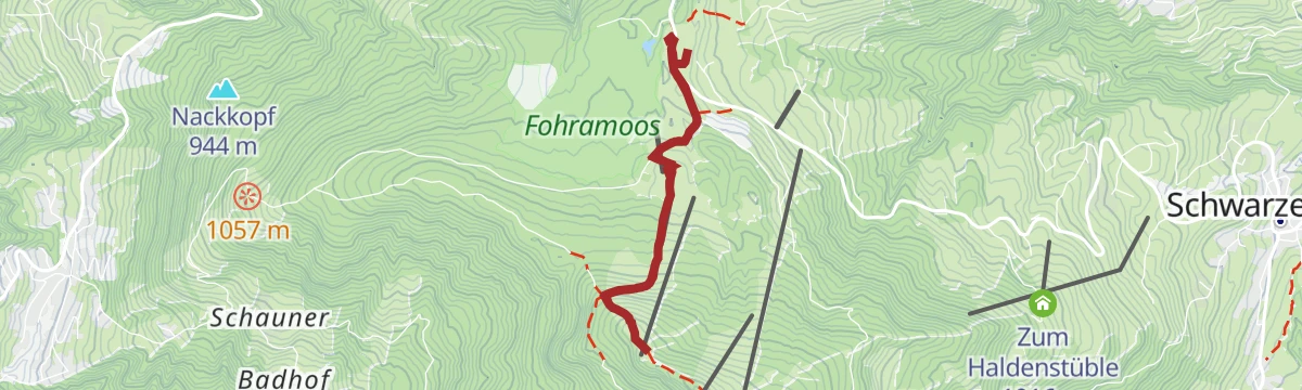
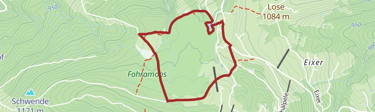
Open route Vorarlberg TourismusSchwarzenberg | Bödele Wanderung durchs Fohramoos (sehr schönes und typisches Moorwaldgebiet)
A short round on the Bödele pass through the Fohramoos, a raised bog whose shading moor woodland covers most of the way.
- 3.5 km
- Distance
- 58 m
- Ascent
- 58 min
- Duration
Open route Vorarlberg TourismusArchitekturweg Bregenzerwald | Lingenau – Egg – Schwarzenberg (Etappe 2)
The second stage of the architecture trail, from Lingenau by Egg to Schwarzenberg past notable timber buildings.
- 11.2 km
- Distance
- 472 m
- Ascent
- 3 h 46 min
- Duration
Open route Vorarlberg TourismusMin Weag 30 | Bödele – Bildstein
A Min Weag stage from the Bödele over the Brüggelekopf to Bildstein and its pilgrimage church.
- 15.3 km
- Distance
- 498 m
- Ascent
- 5 h 16 min
- Duration
Open route Vorarlberg TourismusBezau | Weißenfluh – Schwarzenberg – Bezau
A ride from Bezau over the Weißenfluh to Schwarzenberg and back down the valley.
- 27.9 km
- Distance
- 979 m
- Ascent
- 3 h 24 min
- Duration
Open route Vorarlberg TourismusSchwarzenberg | Sagenweg zur Ilgaquelle
A round to the Ilga spring and its chapel, where the blessed Ilga is said to have founded a hermitage above the village.
- 5.9 km
- Distance
- 337 m
- Ascent
- 2 h 22 min
- Duration
Open route Vorarlberg TourismusArchitekturweg Bregenzerwald | Schwarzenberg – Andelsbuch – Bezau (Etappe 3)
The third stage of the architecture trail, linking Schwarzenberg, Andelsbuch and Bezau by notable timber buildings.
- 10.3 km
- Distance
- 235 m
- Ascent
- 3 h 2 min
- Duration
Open route Vorarlberg TourismusReuthe | Bödele – Lustenauerhütte – Weißenfluhalpe – Hottersattel – Schnellvorsäß – Reuthe
A hut traverse from the Bödele by the Lustenauer Hütte and Bregenzer Hütte to the Weißenfluhalpe.
- 15.9 km
- Distance
- 498 m
- Ascent
- 5 h 26 min
- Duration
Open route Vorarlberg TourismusHandwerk und Innovation
A ride through the Bregenzerwald along its craft tradition, from timber building to fair-faced concrete.
- 38.7 km
- Distance
- 622 m
- Ascent
- 4 h 4 min
- Duration
Open route Vorarlberg TourismusSchwarzenberg | Bezegg
From the listed village core of Schwarzenberg over the Andelsbuch reservoir to the Bezegg and the Klausberg.
- 11.5 km
- Distance
- 382 m
- Ascent
- 3 h 38 min
- Duration
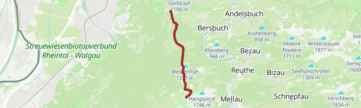
Open route Vorarlberg TourismusSchwarzenberg | Bödele – Mellau
From the Bödele past a summer colony built by the Hämmerle family in 1901, then down the whole way to Mellau.
- 16.9 km
- Distance
- 381 m
- Ascent
- 5 h 19 min
- Duration
Open route Vorarlberg TourismusHittisau | Mittelwald-Runde
A varied road round through the Bregenzerwald with sporting climbs and long descents, for riders in good shape.
- 35.3 km
- Distance
- 515 m
- Ascent
- 3 h 37 min
- Duration
Open route Vorarlberg TourismusSchwarzenberg | Familien-Hüttenwanderung Bödelegebiet (Etappe 1)
The first day of a family hut walk on easy high paths, from Schwarzenberg to the Bregenzerhütte.
- 6.9 km
- Distance
- 655 m
- Ascent
- 2 h 57 min
- Duration
Open route Vorarlberg TourismusSchwarzenberg | Wandern am Horizont
A round of high paths and lookouts giving the three-country view over Austria, Germany and Switzerland with Lake Constance at its centre.
- 16.5 km
- Distance
- 843 m
- Ascent
- 6 h 7 min
- Duration
Open route Vorarlberg TourismusMellau l Rennrad Mellau – Lorenapass
A road ride linking eight villages of the middle Bregenzerwald over the Bödele and the Lorenapass.
- 42.9 km
- Distance
- 738 m
- Ascent
- 4 h 30 min
- Duration
Open route Vorarlberg TourismusSchwarzenberg | Familien-Hüttenwanderung Bödelegebiet (Etappe 2)
The second stage of a family hut walk on easy high paths through the Bödele alp country.
- 13.8 km
- Distance
- 477 m
- Ascent
- 4 h 32 min
- Duration
Open route Vorarlberg TourismusMellau l Rennrad Mellau – Vorderwald
A long road round out of Mellau taking in most of the villages of the outer Bregenzerwald.
- 51.4 km
- Distance
- 894 m
- Ascent
- 5 h 24 min
- Duration
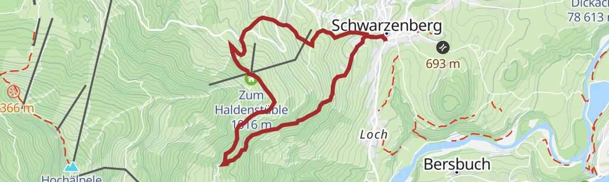
Open route Vorarlberg TourismusSchwarzenberg | Lustenauer Hütte – Bödele
A tracked winter path from the listed village centre through snowy woods to the Lustenauer Hütte and the Bödele pass.
- 8.8 km
- Distance
- 619 m
- Ascent
- 3 h 17 min
- Duration
Open route Vorarlberg TourismusSchwarzenberg | Bödele – Brüggelekopf – Egg – Schwarzenberg
An e-bike round from Schwarzenberg up to the Bödele and back by Egg and the Ach reservoir.
- 31.1 km
- Distance
- 1 095 m
- Ascent
- 3 h 48 min
- Duration
Open route Vorarlberg TourismusSchwarzenberg | Sagenwanderung am Geißkopf (Rundweg)
A legend trail around the Geißkopf, following the siblings who are said to have made springs rise on the Lorena pass.
- 9.4 km
- Distance
- 411 m
- Ascent
- 3 h 13 min
- Duration
Open route Vorarlberg TourismusSchwarzenberg | Schetteregg Runde
A forest-road circuit past vorsäß settlements, among them the quiet Fallenbach with its old farmhouses.
- 36.6 km
- Distance
- 1 269 m
- Ascent
- 4 h 27 min
- Duration
Open route Vorarlberg TourismusSchwarzenberg | Tobelrunde
A round from the village centre over Freien-Beien to the Oberer Geißkopf, on high paths above scattered hamlets.
- 9.6 km
- Distance
- 427 m
- Ascent
- 3 h 19 min
- Duration
Open route Vorarlberg TourismusSchwarzenberg | Weißenfluh
A loop from the Schwarzenberg village square by the Klausberg and the Bregenzer Hütte to the Weißenfluh Alpe.
- 22.4 km
- Distance
- 813 m
- Ascent
- 2 h 45 min
- Duration
Open route Vorarlberg TourismusSchwarzenberg | Von Schwarzenberg zum Werkraum Haus in Andelsbuch
An easy walk from Schwarzenberg down to the reservoir and up to the Werkraum Haus, through typical Wälder hamlets.
- 10.8 km
- Distance
- 193 m
- Ascent
- 3 h 4 min
- Duration
Open route Vorarlberg TourismusSchwarzenberg-Bödele | Kehlegg-Weißenfluhalpe
A lap of the Hochälpele, Schwarzenberg's own mountain, with views over the Bregenzerwald and out to the Rheintal.
- 32.9 km
- Distance
- 1 398 m
- Ascent
- 4 h 14 min
- Duration
Open route Vorarlberg TourismusSchwarzenberg | Wanderung zum Aussichtspunkt Rothenbach-Schrofen
Past the hamlet of Gmeind and two vorsäß settlements, occupied only for a few weeks in autumn and spring.
- 10.6 km
- Distance
- 440 m
- Ascent
- 3 h 35 min
- Duration
Open route Vorarlberg TourismusSchwarzenberg | Zwischen Lorena und Bergvorsäß
A steady winter climb through scattered hamlets that turn into a snow landscape between Lorena and the Bergvorsäß.
- 8.0 km
- Distance
- 539 m
- Ascent
- 2 h 48 min
- Duration
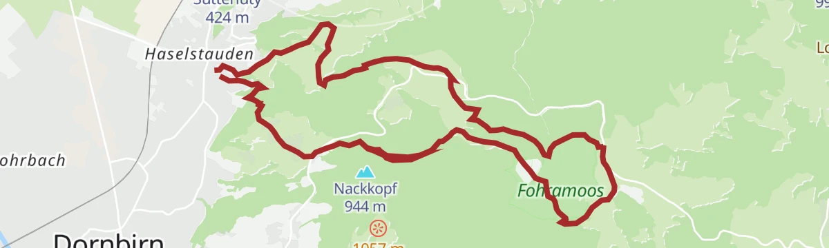
Open route Vorarlberg TourismusVielfältige Rundwanderung: Dornbirn Haselstauden – Bödele – Fohramoos – Oberfallenberg
A climb out of Dornbirn to the Bödele, the pass into the Bregenzerwald, returning by the Fohramoos bog.
- 14.4 km
- Distance
- 892 m
- Ascent
- 6 h 7 min
- Duration
Open route Vorarlberg Tourismus












No routes of this kind in Schwarzenberg yet.
Planning a trip to Schwarzenberg?
Everything else Vorarlberg has, in one place


Take Schwarzenberg with you into the mountains
Every route on this page with 3D terrain, GPX navigation and offline maps — including the valleys with no signal.
Data sources
- Official website: dornbirn.info ↗
- Routes and highlights: Vorarlberg Tourismus, PeakVisor / OpenStreetMap, Bregenzerwald Tourismus, Bodensee-Vorarlberg Tourismus, Dornbirn, PeakVisor tTRL (OpenStreetMap piste_type=skitour), St. Anton am Arlberg, Vorarlberg Tourismus GmbH
- Published as open data by the tourist boards named above.
- Region summary generated from the board's own material.
