
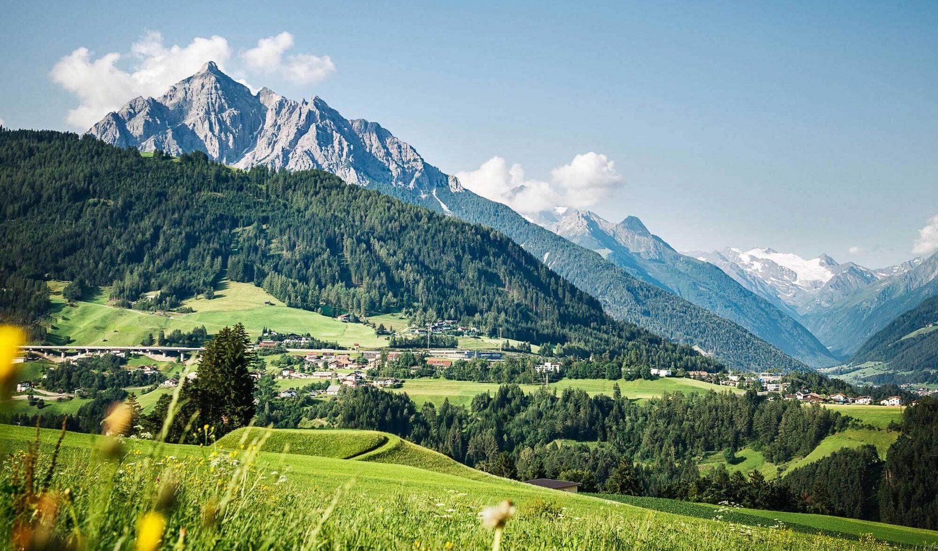
- 15Highlights
- 13Routes
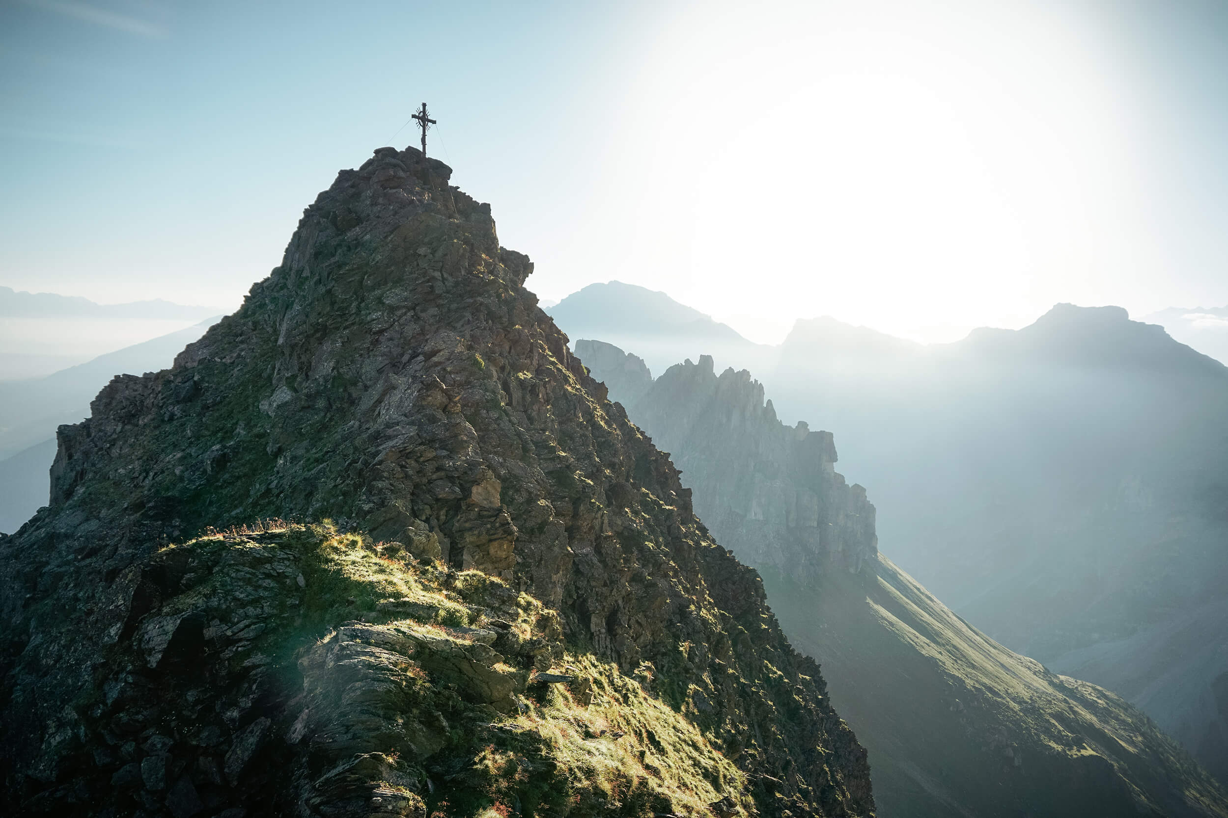
- Featured summit · Gleinser Berg
Highlights
All 15 from neighbouring places
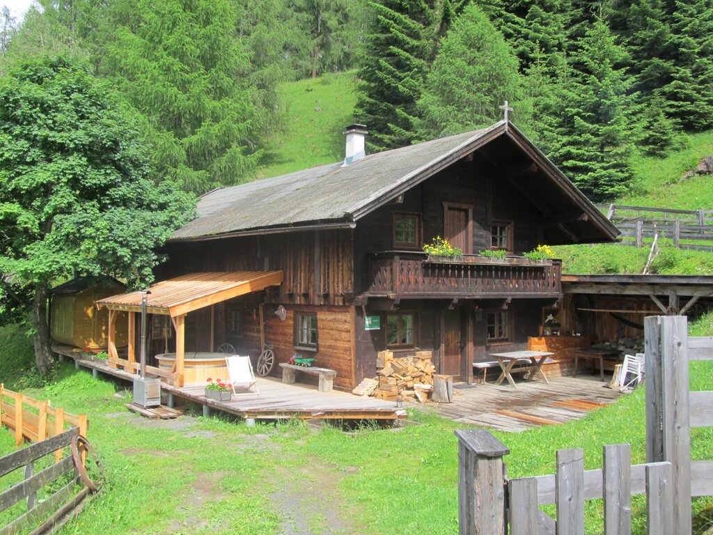
Gullenhütte
2.7 km away, in Mieders
A small hut on a farm above Mieders in the lower Stubaital, offering simple refreshment and farm-holiday lodging.
Stubaier Bergführer GesbR
2.7 km away, in Mieders
The Stubai mountain guides' association in Fulpmes, arranging guided climbing, via ferrata and high-alpine tours across the valley.
Hoarachhof
2.7 km away, in Mutters
A farmhouse inn on the slopes above Mutters, serving snacks and regional dishes to walkers on the terrace south of Innsbruck.
Archäologielehrpfad Goldbichl
3.6 km away, in Patsch
An archaeological trail on the Goldbichl hill above Igls (870 m), interpreting a prehistoric ritual site excavated on the summit.
Ochsenhütte Mieders 1.582m
4 km away, in Mieders
A hut at 1,582 m above Mieders in the lower Stubaital, a refreshment stop on walks in the Serles area.
Alpine Ventures
4.1 km away, in Telfes im Stubai
A guiding outfit based in Fulpmes offering sport-climbing instruction and guided routes on the Stubai valley's crags.
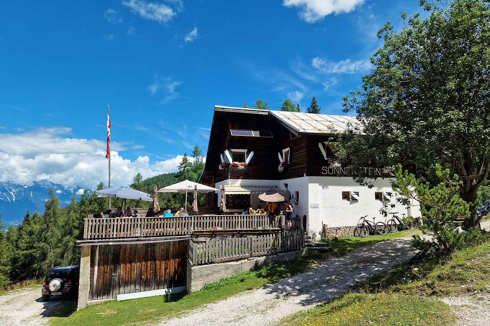
Alpengasthof Sonnenstein 1.400m
4.6 km away, in Mieders
A mountain inn at about 1,400 m above Mieders, sitting on a sunny terrace of the lower Stubaital.
Natur Resort Waldrast
5.9 km away, in Mühlbachl
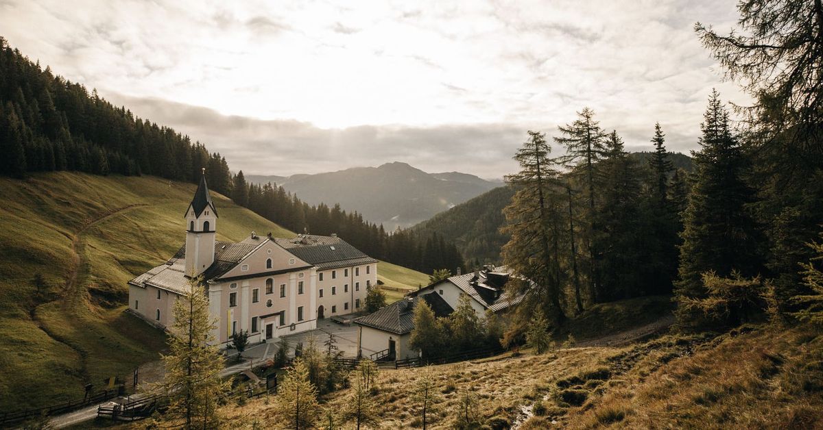
A mountain inn beside the Maria Waldrast monastery below the Serles, reachable on foot or by toll road from Mühlbachl.
Maria Waldrast 1.640m
5.9 km away, in Mühlbachl
A Servite monastery and pilgrimage church at about 1,640 m below the Serles, with an inn and a spring long credited with healing powers.
Alpenvereinshütte Meissner Haus
7 km away, in Ellbögen
An Alpine Club hut in the Viggartal above Ellbögen, south of Innsbruck, offering meals and beds to walkers below the Glungezer ridge.
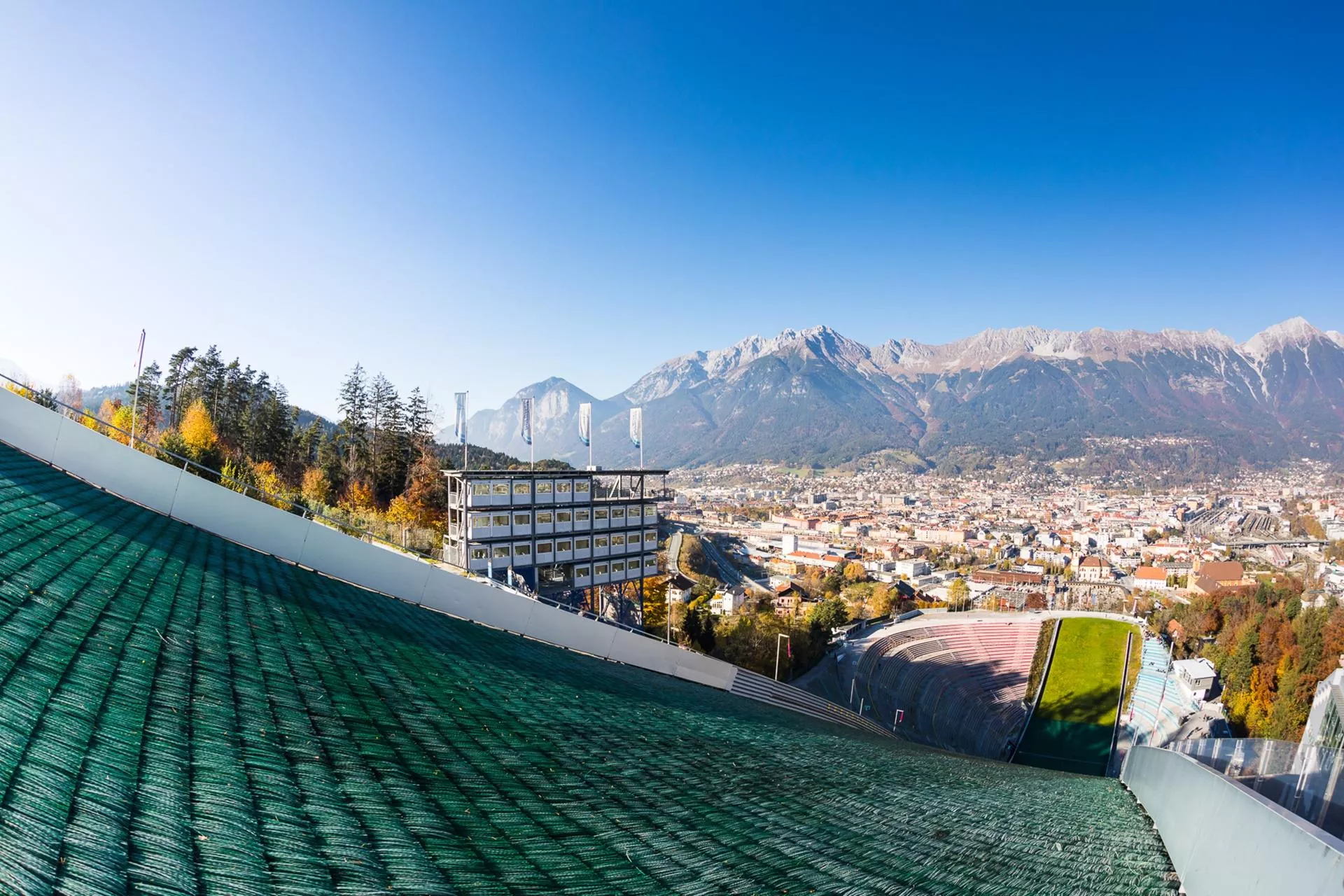
Bergisel Schanze
7.2 km away, in Innsbruck
The ski-jumping hill above Innsbruck, rebuilt in 2002 to a Zaha Hadid design; its tower overlooks the city and the jump hosts a Four Hills Tournament event each January.
Bergisel Sprungschanze
7.3 km away, in Innsbruck
The ski-jumping hill on the Bergisel above Innsbruck, rebuilt to a Zaha Hadid design in 2002 and a fixture of the Four Hills Tournament.
Das Tirol Panorama
7.4 km away, in Innsbruck
A museum at Bergisel above Innsbruck built around the giant 360-degree painting of the 1809 Tyrolean uprising led by Andreas Hofer.
Stiftskirche Stiftsmuseum Wilten
7.6 km away, in Innsbruck
The baroque church of the Premonstratensian abbey of Wilten in Innsbruck; the adjoining museum shows pieces from the abbey's collections.
Basilika Wilten
7.7 km away, in Innsbruck
An 18th-century pilgrimage basilica in Innsbruck's Wilten district, with a rococo interior and a venerated image of the Virgin.

 Historic site
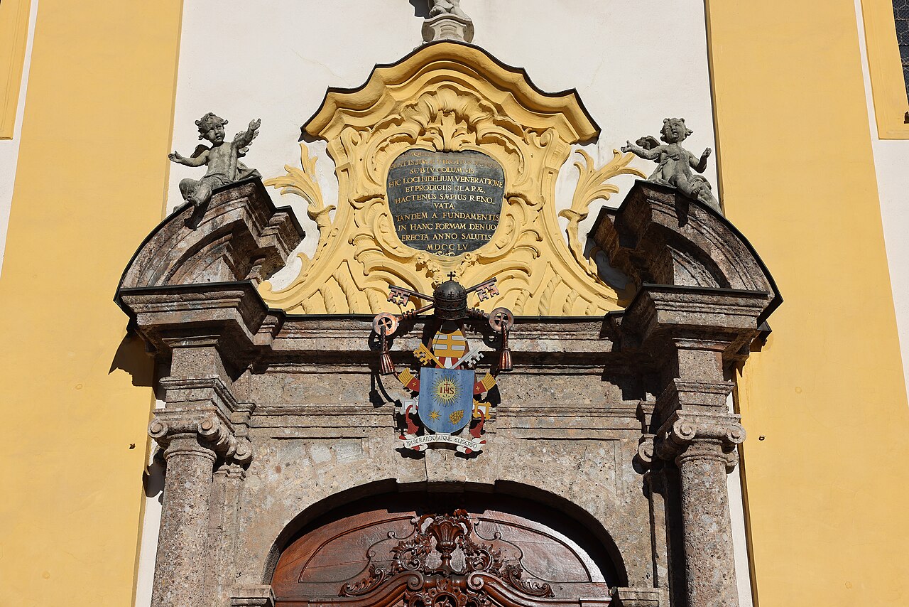
Nothing of this kind in Schönberg im Stubaital.
Routes
Stubaier Jungrind
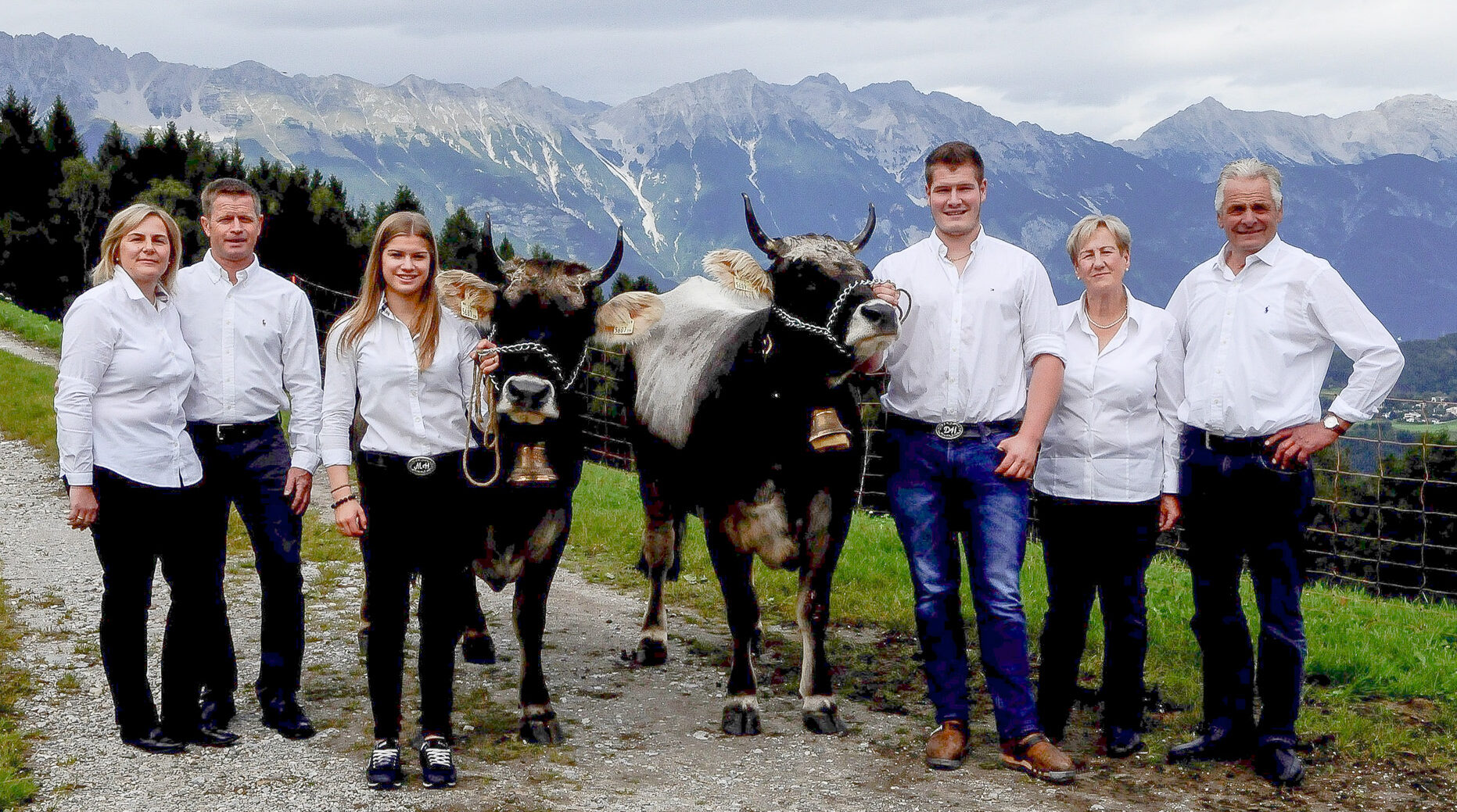
A gentle themed walk near the Serlesseen at Koppeneck, telling the story of the young cattle summered on the Mieders alm pastures, with the Ochsenhütte as a stop.
- 5.6 km
- Distance
- 88 m
- Ascent
- 1 h 32 min
- Duration
- 15
- Check-ins
Serlesbahnen - Gleinser Mähder - Mieders
Lift-assisted round from the Serlesbahnen over the Gleinser Mähder meadows and the Gleinser Berg to Mieders, passing the Serlesseen and the monastery of Maria Waldrast.
- 13.3 km
- Distance
- 390 m
- Ascent
- 4 h 5 min
- Duration
- 23
- Check-ins
Romedius Pilgerweg mittelschwere Wanderung in Thaur, Tirol
Opening section of the pilgrim route from Thaur towards San Romedio, 23.8 km with 1,049 m of climb past the Europabrücke and the Sill reservoir.
- 23.8 km
- Distance
- 1 221 m
- Ascent
- 8 h 33 min
- Duration
- 20
- Check-ins
 Restaurant Europabrücke 914 m
 Ententeich 579 m
- Speicher Sillkraftwerk 881 m
- Speicher Sillkraftwerk 884 m
- Wasserschloss Ruetz 880 m
- Haus Inge 646 m
- +1
557 Zauberwald Runde
A short, easy loop through the woods on the hillside above Mieders, staying close to the toll road up from Schönberg.
- 6.6 km
- Distance
- 199 m
- Ascent
- 47 min
- Duration
- 9
- Check-ins
504 Gleins
A forest-road climb above Schönberg im Stubaital, starting near the Europabrücke and the reservoir of the Sill power station.
- 8.0 km
- Distance
- 743 m
- Ascent
- 1 h 46 min
- Duration
- 23
- Check-ins
- Restaurant Europabrücke 914 m
- Bungee Jumping Anmeldung 905 m
- Speicher Sillkraftwerk 884 m
Stubai E-Bike Sightseeing Tour Variante 1
A valley round starting near the Europabrücke, running up the Stubaital past the Kampler See and back down the far side.
- 35.3 km
- Distance
- 926 m
- Ascent
- 4 h
- Duration
- 52
- Check-ins
Stubai Radroute 19a
A signed valley cycle route through Telfes im Stubai, a short waymarked stage with a steady 400 m of climbing.
- 7.7 km
- Distance
- 428 m
- Ascent
- 1 h 9 min
- Duration
Innsbruck Hochplateau Ride
A demanding tour over the terraces above the Inn valley, taking in the Goldbichl and a string of mid-mountain farms and inns.
- 107.7 km
- Distance
- 2 530 m
- Ascent
- 11 h 57 min
- Duration
- 21
- Check-ins
Waldtierweg Gleins
Family theme trail at Gleins above Schönberg im Stubaital with stations about native forest animals; short, but a steep climb of over 300 m.
- 2.9 km
- Distance
- 336 m
- Ascent
- 2 h
- Duration
Serlesbahnen - Gleins - Schönberg
Connecting walk from the Serlesbahnen base in Mieders through Gleins to Schönberg, a gently rolling route along the sunny side of the Stubaital.
- 7.4 km
- Distance
- 133 m
- Ascent
- 2 h 4 min
- Duration
Telfes - Stefansbrücke
A long, varied route from Telfes down the outer Stubai valley to the Stefansbrücke, passing the Ruetz waterworks and the arches of the Europabrücke.
- 15.6 km
- Distance
- 620 m
- Ascent
- 5 h 12 min
- Duration
- 16
- Check-ins
- Restaurant Europabrücke 914 m
- Speicher Sillkraftwerk 881 m
- Speicher Sillkraftwerk 884 m
- Wasserschloss Ruetz 880 m
- Raststätte Lanz 912 m
Stubai E-Bike Sightseeing Tour Short Variante 2
A long ride through the Stubaital on valley tracks and forest roads, passing the Kampler See and the foot of the Kreuzjochbahn.
- 35.3 km
- Distance
- 906 m
- Ascent
- 3 h 59 min
- Duration
- 29
- Check-ins
556 Serlesblick
A forest-road climb from the Serlesbahn base station above Mieders in the Stubaital, gaining height steadily to the Ochsenhütte at 1,585 m.
- 18.6 km
- Distance
- 755 m
- Ascent
- 2 h 22 min
- Duration
- 21
- Check-ins


No routes of this kind in Schönberg im Stubaital yet.
The region's own picks
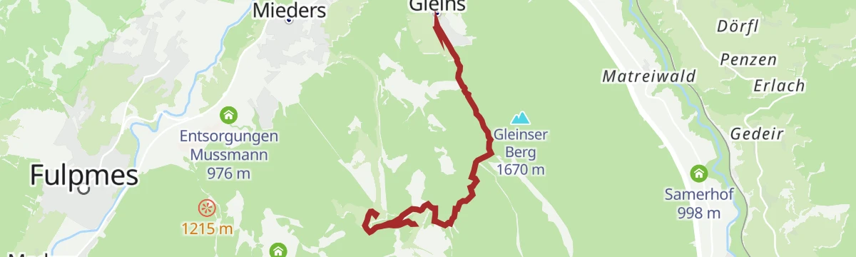
Featured route
Stubaier Jungrind
A gentle themed walk near the Serlesseen at Koppeneck, telling the story of the young cattle summered on the Mieders alm pastures, with the Ochsenhütte as a stop.
Planning a trip to Schönberg im Stubaital?
Everything else Tyrol has, in one place


Take Schönberg im Stubaital with you into the mountains
Every route on this page with 3D terrain, GPX navigation and offline maps — including the valleys with no signal.
Data sources
- Official website: stubai.at ↗
- Routes and highlights: Tourismusverband Stubai Tirol, Innsbruck Tourismus, Wilder Kaiser Tourismus, Wipptal Tourismus, Region Hall-Wattens
- Published as open data by the tourist boards named above.
- Region summary generated from the board's own material.
