
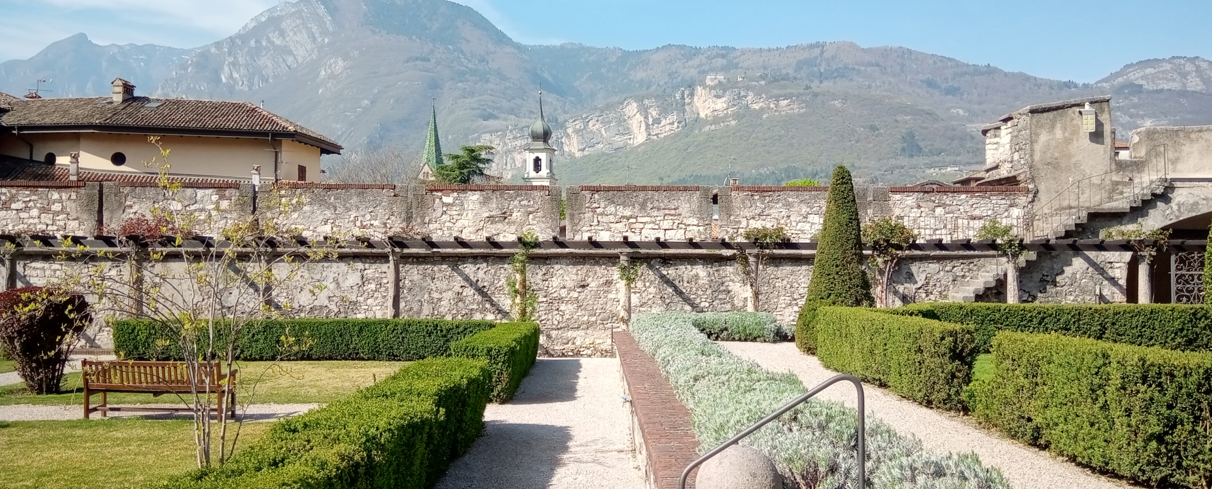
 Historic site


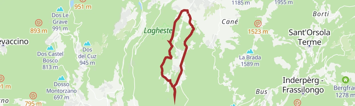
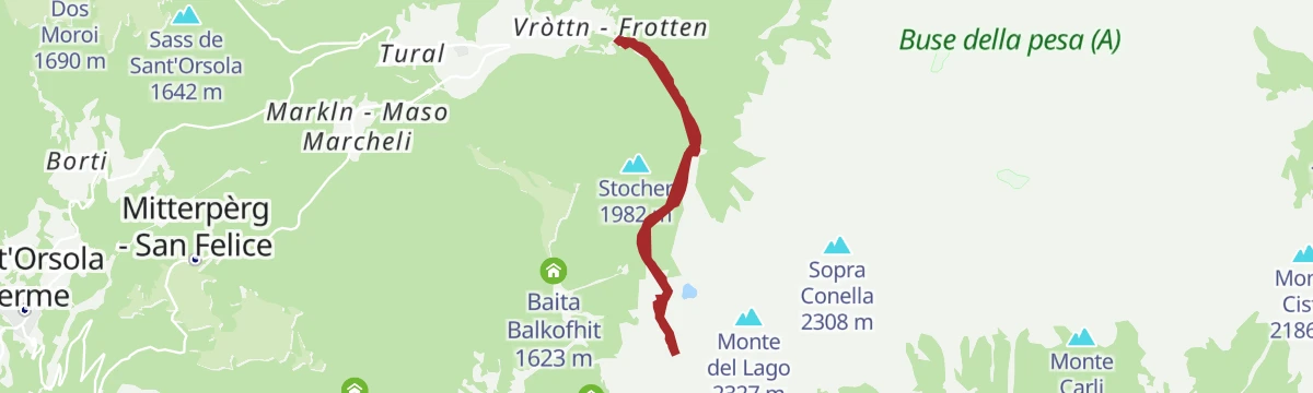
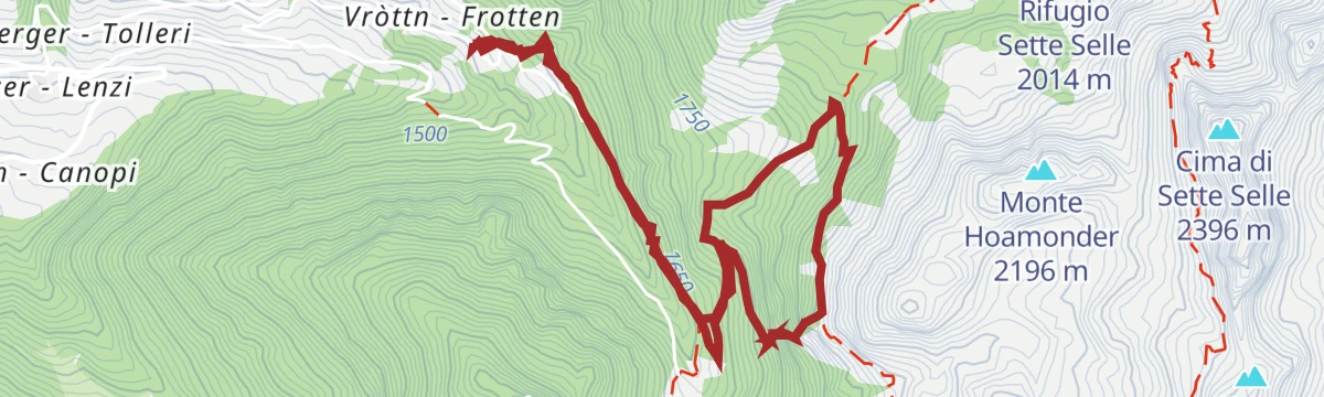





Curated by APT Trento
Sant'Orsola Terme
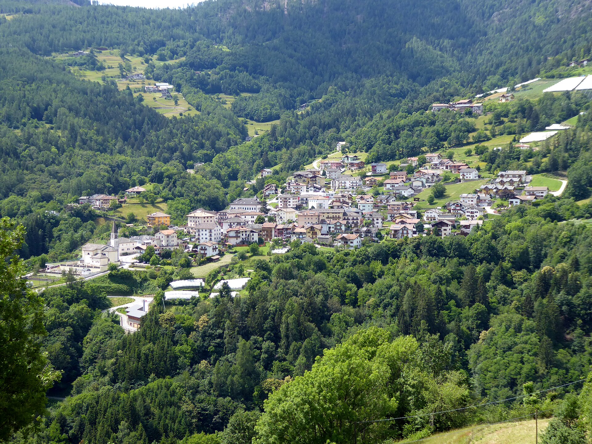
Mocheni valley spa village on the Fersina, with an iron spring and the Lagorai ridge above.
Photo: Syrio · CC BY-SA 4.0 licence
- 1Highlights
- 6Routes
- Featured summit · Dosso di Costalta
Highlights
All 1 from neighbouring places
Castello del Buonconsiglio
13.5 km away, in Trento
The residence of Trento's prince-bishops for four centuries, with the Torre Aquila and its Cycle of the Months.
Nothing of this kind in Sant'Orsola Terme.
Routes
14 from neighbouring places
Bacino di Cimadom S
A brief flat stretch at the Cimadom basin above Sant'Orsola Terme in the Fersina valley.
- 450 m
- Distance
- 0 m
- Ascent
- 13 min
- Duration
Dal Passo del Redebus al Dosso di Costalta
A walk from the Passo del Redebus over the Pianon saddle to a panoramic top, passing Malga Cambroncoi and Malga Costalta.
- 9.9 km
- Distance
- 486 m
- Ascent
- 3 h 35 min
- Duration
- 90
- Check-ins
 Dosso di Costalta 1 955 m
- Sass de Sant'Orsola 1 642 m
- Dos Moroi 1 690 m
 Ruderi baracca 1 948 m
 Passo del Redebus - Sontbisn 1 455 m
- Malga Cambroncoi 1 720 m
- +5
Open route APT Valsugana e LagoraiMonte Calvo
A bike ascent of Monte Calvo above the Pinè plateau, up on quiet tarmac and down on a well-kept dirt road.
- 16.0 km
- Distance
- 696 m
- Ascent
- 2 h 5 min
- Duration
- 12
- Check-ins
- Dos dei Fonghi 1 498 m
- Sas Bianch 1 321 m
- Ruderi Mas dei Pintarei 987 m
- Mas del Cristinot 955 m
- Passo del Capriolo 1 221 m
- Mas dela Bolp 1 167 m
- +8
Open route APT TrentoRoadbike - Pergine Valsugana - Val dei Mocheni
A road ride up the German-speaking valley of the Fersina, through Frassilongo and Sant'Orsola Terme with the Lagorai chain ahead.
- 28.1 km
- Distance
- 1 048 m
- Ascent
- 3 h 26 min
- Duration
- 5
- Check-ins
- Casa Fersinale 536 m
 Laghetto Canezza 585 m
Open route APT Valsugana e LagoraiDosso di Costalta from Passo del Redebus (404) and return via "Senter dei Russi" (E457)
A summit walk on the best-known top of the Altopiano di Piné, with views to Lake Serraia and the Lagorai, back on an old military mule track.
- 9.9 km
- Distance
- 492 m
- Ascent
- 3 h 37 min
- Duration
- 83
- Check-ins
- Dosso di Costalta 1 955 m
- Dos Moroi 1 690 m
- Ruderi baracca 1 948 m
- Passo del Redebus - Sontbisn 1 455 m
- Malga Cambroncoi 1 720 m
- Pianon 1 888 m
- +3
Open route APT TrentoMTB Small Fruits Tour 2349
A ride up the val dei Mocheni past the Laghetto Canezza, through the berry fields and Mòcheno villages of the upper Fersina.
- 20.9 km
- Distance
- 893 m
- Ascent
- 2 h 42 min
- Duration
- 2
- Check-ins
- Laghetto Canezza 585 m
Open route APT Valsugana e LagoraiDosso di Costalta from Miola di Piné
3.4 km away, in Baselga di Pinè
A climb from Miola to the Dosso di Costalta, returning the same way or continuing by Malga Cambroncoi to the Passo del Redebus.
- 14.0 km
- Distance
- 964 m
- Ascent
- 6 h 26 min
- Duration
- 70
- Check-ins
- Dosso di Costalta 1 955 m
- Dos del Nel 1 185 m
- Tombola 1 184 m
- Ruderi baracca 1 948 m
- Mas dei Candidi 1 071 m
- Mas dei Ciotoi 1 064 m
- +6
Open route APT TrentoBetween art, sacred and taste in Montagnaga di Piné
4.1 km away, in Baselga di Pinè
A short tour on dirt tracks and asphalt from the Laghestel reserve up to the Madonna di Piné sanctuary and the Redeemer monument.
- 8.8 km
- Distance
- 222 m
- Ascent
- 59 min
- Duration
- 3
- Check-ins
Open route APT TrentoSki mountaineering - Pizzo Alto
6.3 km away, in Palù del Fersina
A well-travelled ski tour to the Pizzo Alto above Palù del Fersina, with good snow in the forest and a final slope that needs judging.
- 7.0 km
- Distance
- 722 m
- Ascent
- 718 m
- Descent
- 2 h 45 min
- Duration
- 30
- Check-ins
Open route APT Valsugana e LagoraiErdemolo via ferrata
6.4 km away, in Palù del Fersina
An equipped route on the wooded slope above the Erdemolo mine in the Mòcheno valley, 715 metres of cable graded from moderate to hard.
- 6.3 km
- Distance
- 525 m
- Ascent
- 4 h 16 min
- Duration
Open route APT Valsugana e LagoraiI Piani di Bosentino 33
13.1 km away, in Altopiano della Vigolana
A loop ride on shaded forest roads above Bosentino, dropping past Castel Vigolo and the Madonna del Feles sanctuary with Lake Caldonazzo in view.
- 14.7 km
- Distance
- 527 m
- Ascent
- 1 h 48 min
- Duration
- 3
- Check-ins
- Vila Fiori 693 m
- Marien Fried 783 m
- Agritur La Sabbionara 793 m
- Baito dei Toninati 865 m
- Baito dei Giorgeti 857 m
- Baito dei Paloti 895 m
Open route Azienda per il Turismo Alpe CimbraPasso Cadin and Cima Bolenga
15 km away, in Castello-Molina di Fiemme
A ski tour from the Val Cadino over the Passo Cadin to Cima Bolenga, straightforward apart from the drifted snow at the pass.
- 14.9 km
- Distance
- 964 m
- Ascent
- 973 m
- Descent
- 4 h 54 min
- Duration
- 11
- Check-ins
Open route APT Fiemme CembraLaghetto di Canezza N
3.3 km away, in Pergine Valsugana
A very short walk by the pond at Canezza, in the Fersina valley above Pergine.
- 317 m
- Distance
- 0 m
- Ascent
- 5 min
- Duration
9 lakes route
3.7 km away, in Baselga di Pinè
A long road tour past the lakes of the Pinè plateau and the Valsugana, over the Sella di Vignola and below Segonzano castle.
- 115.9 km
- Distance
- 2 403 m
- Ascent
- 12 h 33 min
- Duration
- 63
- Check-ins
- Dos de le Morf 956 m
- Parc Hotel Du Lac 454 m
- Dolomiti Energia 1 026 m
- Sella di Vignola 557 m
- Visitvalsugana 491 m
- APT Piné 974 m
- +15
Open route APT TrentoDosso di Costalta
3 km away, in Baselga di Pinè
A climb to the Dosso di Costalta at 1,955 m, the eastern end of the Lagorai between the Pinè plateau and the Valle dei Mocheni.
- 11.5 km
- Distance
- 830 m
- Ascent
- 5 h 28 min
- Duration
- 57
- Check-ins
- Dosso di Costalta 1 955 m
- Dos del Nel 1 185 m
- Tombola 1 184 m
- Dos de le Salare 1 491 m
- Ruderi baracca 1 948 m
- Mas dei Bozzi 1 105 m
- +3
Open route APT Valsugana e LagoraiTour 858 - Costalta
3.4 km away, in Baselga di Pinè
A long bike ascent to the Dosso di Costalta on forest roads, with push sections near the top and Lake Serraia far below.
- 22.6 km
- Distance
- 1 112 m
- Ascent
- 3 h 6 min
- Duration
- 79
- Check-ins
- Dosso di Costalta 1 955 m
- Dos del Nel 1 185 m
- Tombola 1 184 m
- Dos de le Salare 1 491 m
- Dos de la Piazzola 1 482 m
- Ruderi baracca 1 948 m
- +9
Open route APT TrentoTour 856 - Villages of Baselga di Piné
3.4 km away, in Baselga di Pinè
A long round of the Pinè plateau villages, from the Dosso di Miola above Lake Serraia to Tressilla, San Mauro and the sanctuary at Montagnaga.
- 28.9 km
- Distance
- 856 m
- Ascent
- 8 h 53 min
- Duration
- 17
- Check-ins
- Dos de l'Oselera 1 093 m
- Dosso di San Mauro 809 m
- Dos dei Ronchi 991 m
- APT Piné 974 m
- Ca' dei Beti 1 060 m
- Ruderi Molin de la Ita 914 m
- +5
Open route APT TrentoWalk from Baselga to Montagnaga along the cycle path
4.4 km away, in Baselga di Pinè
A flat family tour on the shared cycle and footpath beside the Laghestel biotope, starting by the Ferrari area at Baselga and ending in Montagnaga.
- 8.7 km
- Distance
- 122 m
- Ascent
- 53 min
- Duration
Open route APT TrentoSki mountaineering - Cima Hoabonti
8.3 km away, in Roncegno Terme
A ski tour to Cima Hoabonti in the western Lagorai, with good snow on the upper slopes and some avalanche care needed after fresh falls.
- 9.4 km
- Distance
- 878 m
- Ascent
- 878 m
- Descent
- 3 h 27 min
- Duration
- 28
- Check-ins
Open route APT Valsugana e LagoraiRio Negro E
3.5 km away, in Baselga di Pinè
A level walk along the Rio Negro, a stream in the woods on the edge of the Pinè plateau.
- 5.4 km
- Distance
- 51 m
- Ascent
- 1 h 47 min
- Duration
Open route Trentino Fishing
No routes of this kind in Sant'Orsola Terme yet.
The region's own picks
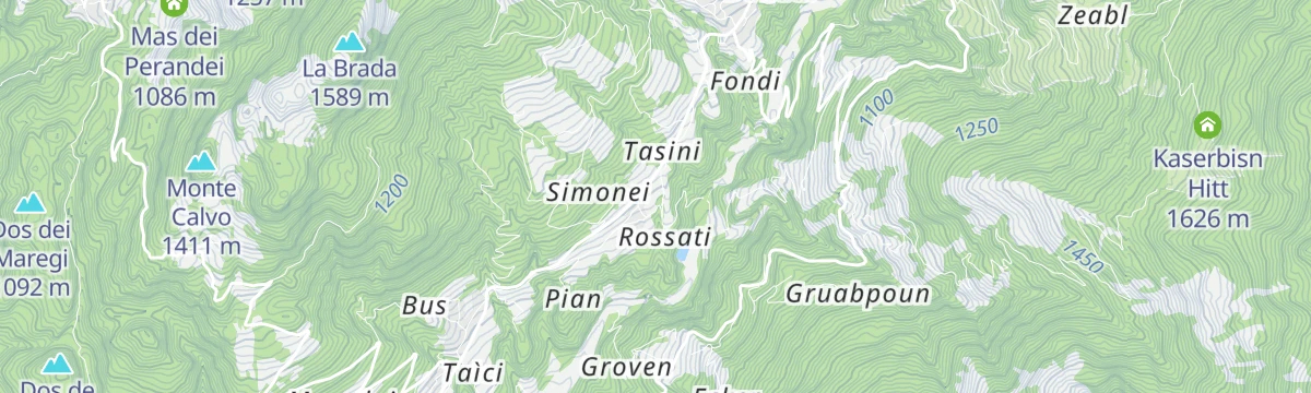
Featured route
Bacino di Cimadom S
A brief flat stretch at the Cimadom basin above Sant'Orsola Terme in the Fersina valley.
Planning a trip to Sant'Orsola Terme?
Everything else Trentino-Alto Adige/Südtirol has, in one place


Take Sant'Orsola Terme with you into the mountains
Every route on this page with 3D terrain, GPX navigation and offline maps — including the valleys with no signal.
Data sources
- Official website: visittrentino.info ↗
- Routes and highlights: APT Trento, APT Valsugana e Lagorai, Visit Trentino, Italia.it, Azienda per il Turismo Alpe Cimbra, APT Fiemme Cembra, Trentino Fishing
- Published as open data by the tourist boards named above.
- Region summary generated from the board's own material.
