



















Curated by San Vigilio Dolomites
San Martino in Badia/St. Martin in Thurn
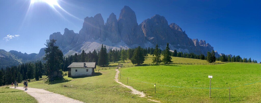
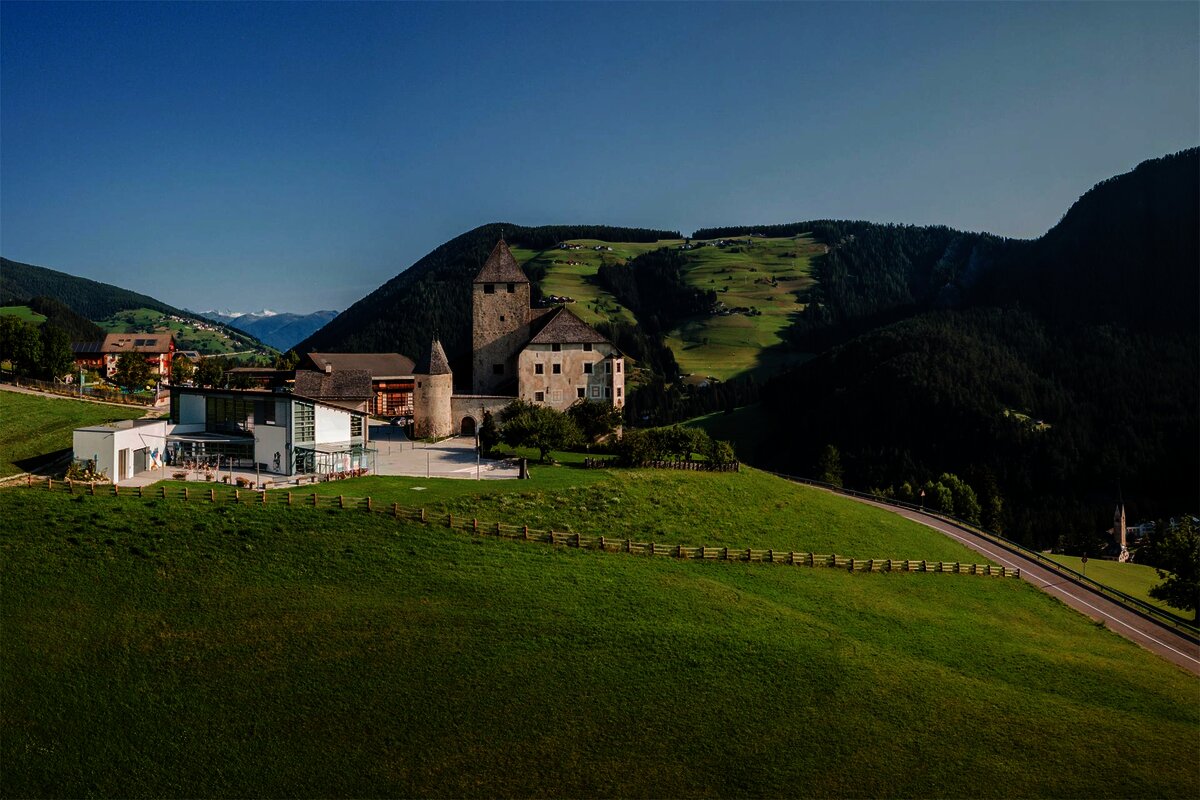
Ladin viles and the Museum Ladin at Ciastel de Tor in the middle Val Badia, under the Sass de Putia.
- 5Highlights
- 77Routes
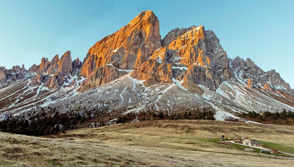
- Featured summit · Peitlerkofel - Sass de Pütia - Sass de Putia
Highlights
10 from neighbouring places
Göma
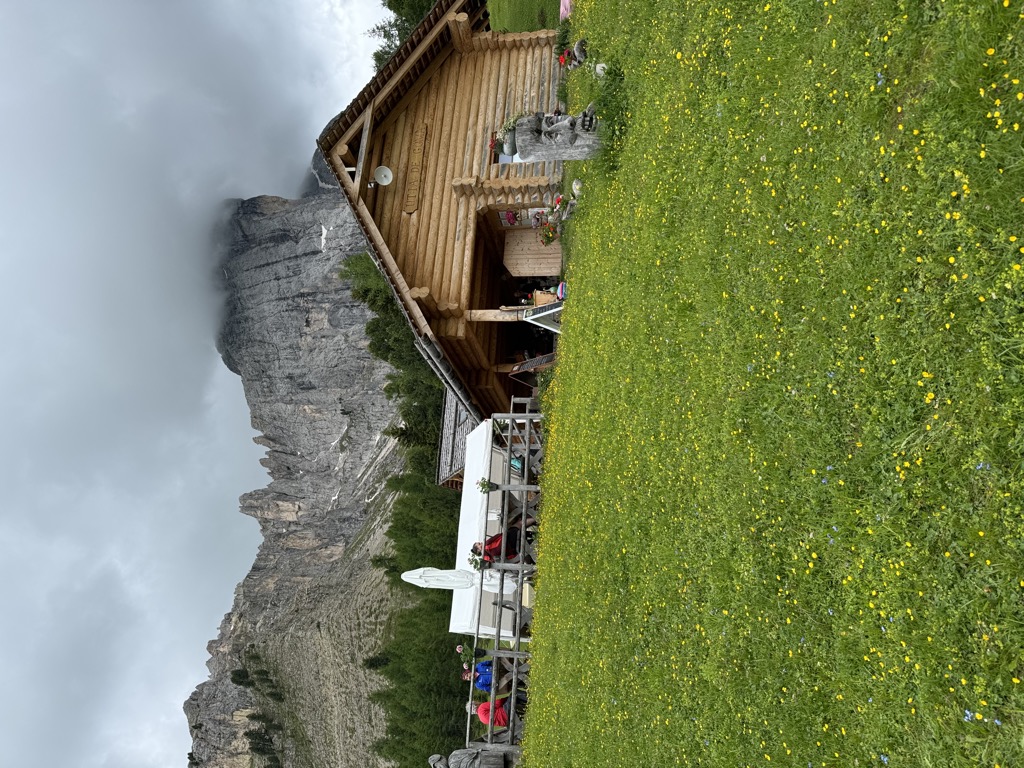
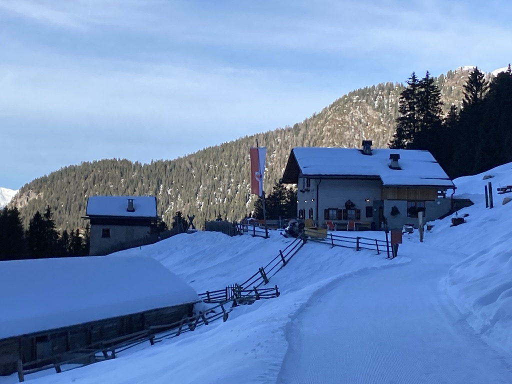
A dairy hut on the pastures above San Martino in Badia, in the Val Badia.
Sterzing, Pfitsch und FreienfeldRifugio Cir
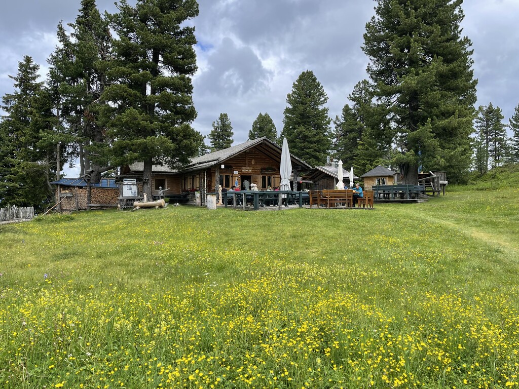
A mountain refuge in the hills above San Martino in Badia, on the Ladin side of the Val Badia.
Sterzing, Pfitsch und FreienfeldVaciara
A pasture hut above San Martino in Badia, reached by forest track from the valley floor of the Val Badia.
Ütia Ciampcios
A Ladin ütia above the side valley of Longiarù, in the comune of San Martino in Badia, on the walking paths towards the Puez-Odle park.
Sterzing, Pfitsch und FreienfeldMuseum Ladin Ciastel de Tor
A museum in the fourteenth-century Ciastel de Tor at San Martino in Badia, opened in 2001 on Ladin language, history and geology.
Rifugio Genova
3.3 km away, in Funes/Villnöß
A hut at 2,306 m above Funes in the Puez-Odle park, on the Alta Via delle Dolomiti n. 8 and the climb to the Sass de Putia, open mid-June to mid-October.
Malga Kaserill
4.2 km away, in Funes/Villnöß
A pasture hut at 1,929 m above Funes with a dairy of its own, selling cheese alongside home-made cakes, yoghurt and fruit juices.
Halslhütte
5.7 km away, in Funes/Villnöß
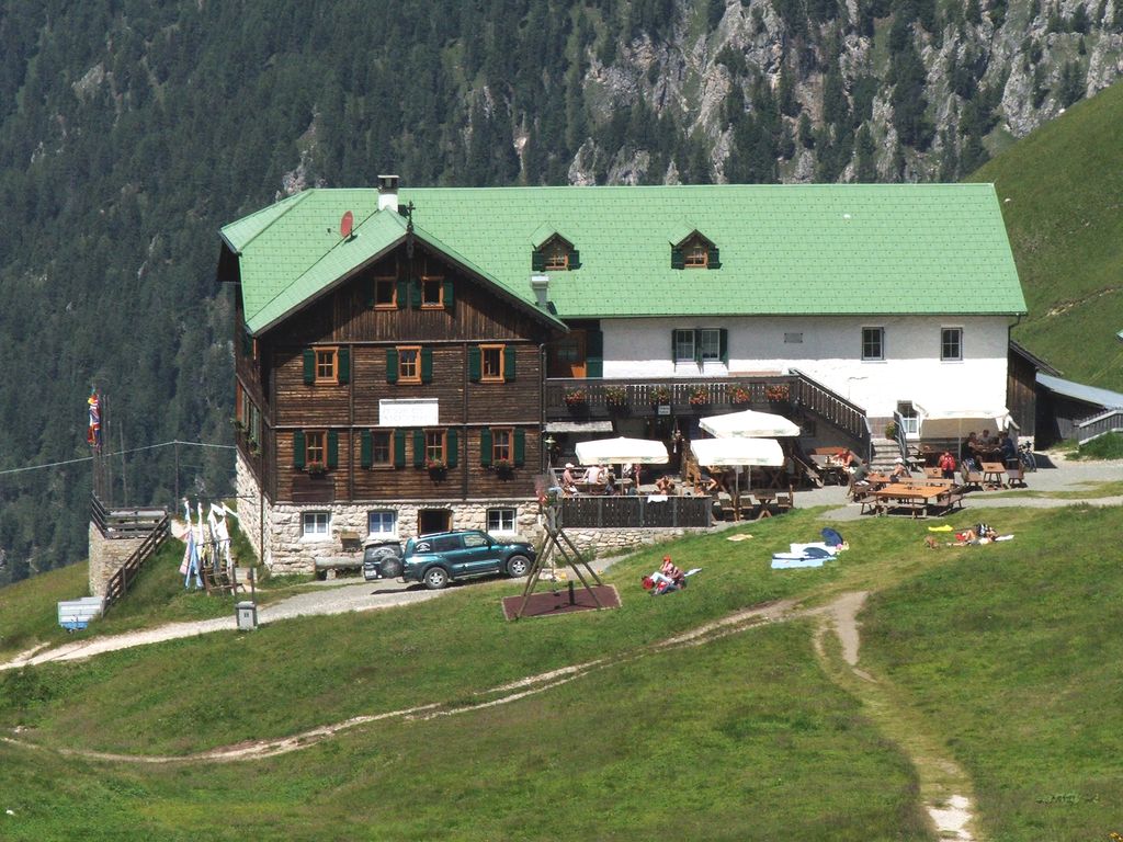
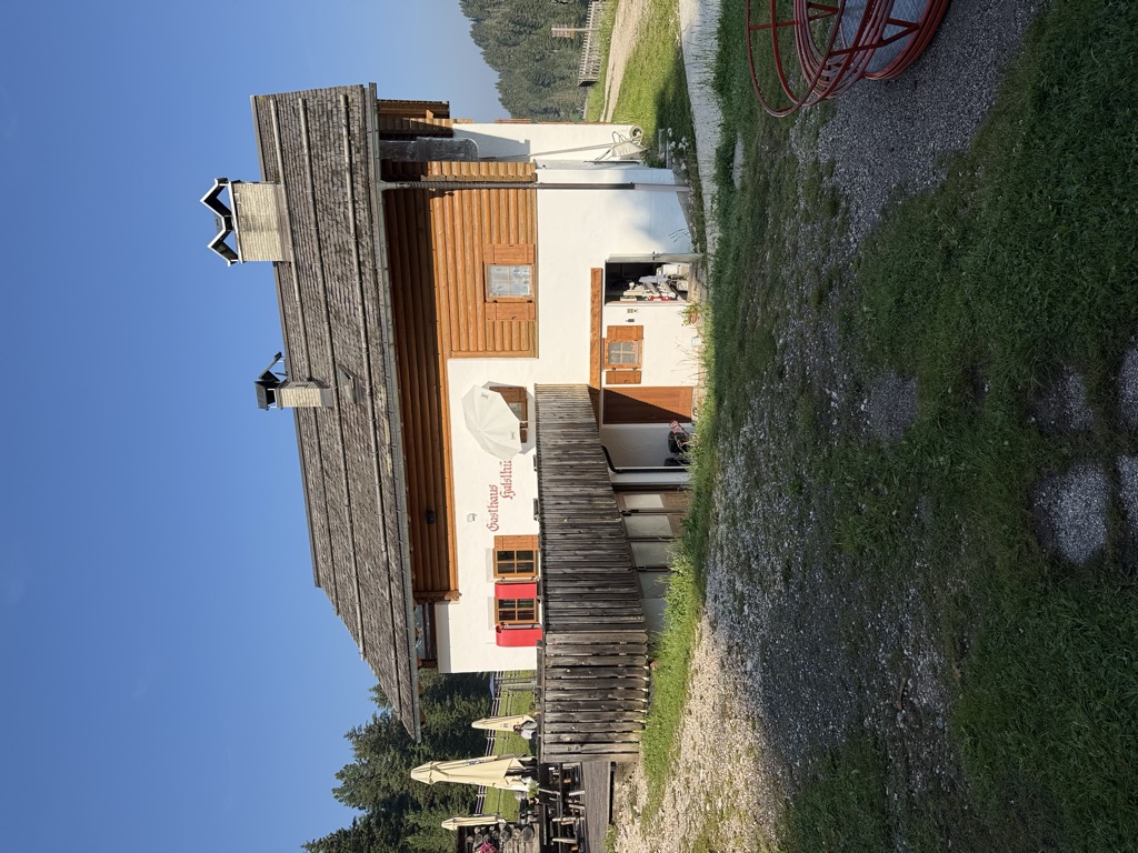
A Tyrolean mountain inn at 1,866 m above Funes, with terrace, garden and playground, on the way from S. Maddalena over the Halsl to the Passo delle Erbe.
Albergo Halslhütte
5.7 km away, in Funes/Villnöß
A guest house at 1,866 m above Funes on the western edge of the Puez-Odle park, its kitchen known for stew and dumplings, game, and Kaiserschmarrn.
Edelweißhütte
5.8 km away, in Funes/Villnöß
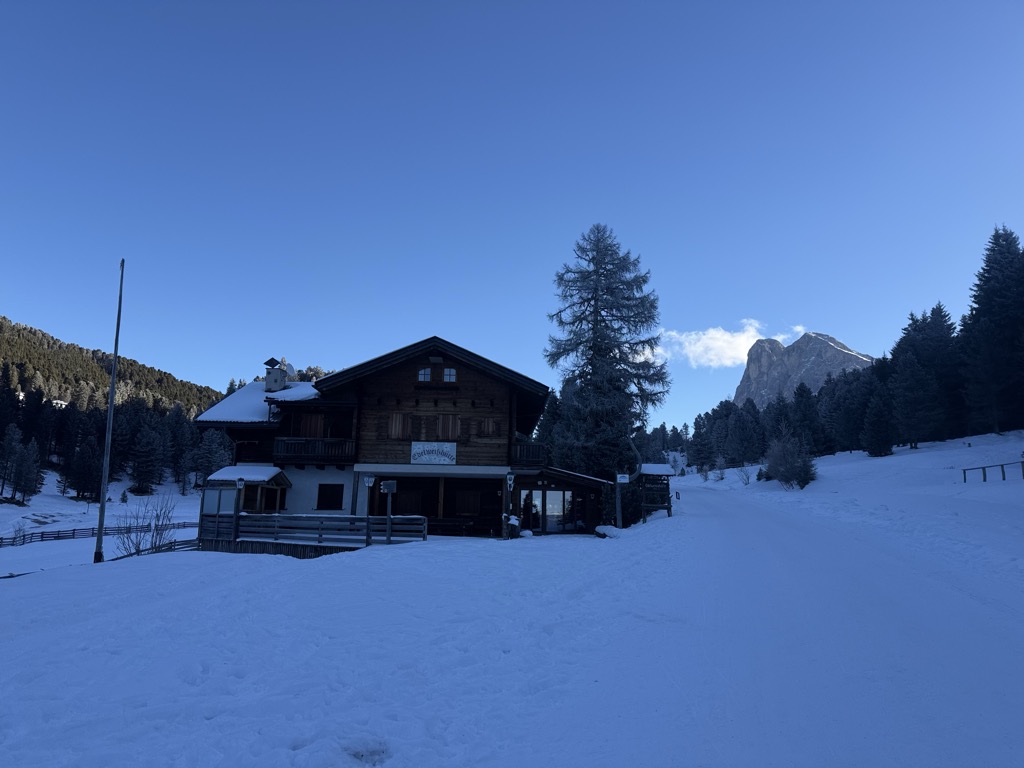
A hut at 1,841 m at the foot of the Sass de Putia, standing directly on the road over the Passo delle Erbe above Funes.
Malga Glatsch
6.3 km away, in Funes/Villnöß
A quiet hut at 1,906 m among the firs at the foot of the Odle above Funes, standing on the Adolf Munkel trail and cooking with herbs from its own garden.
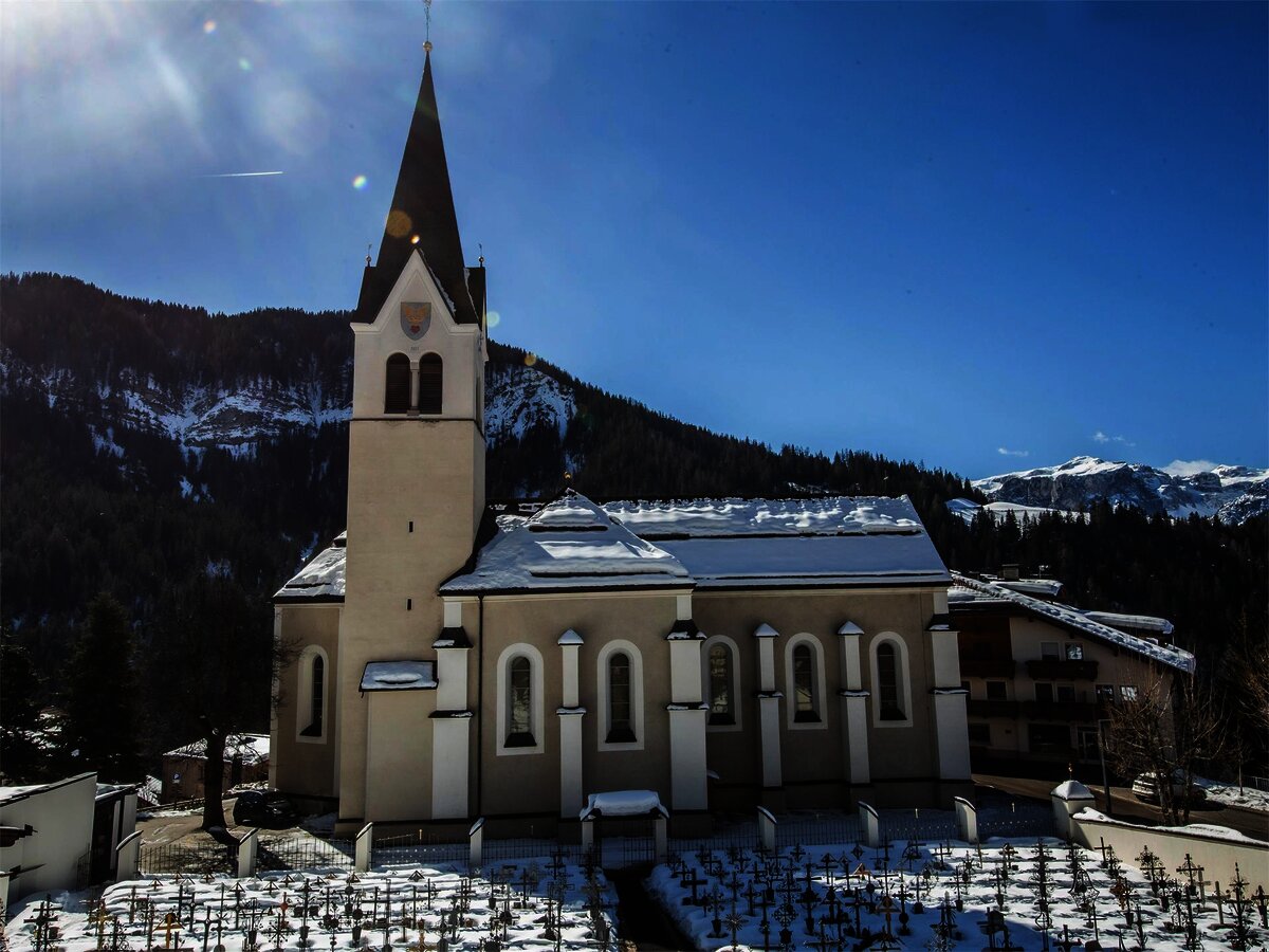
Chiesa parrocchiale La Val
6.4 km away, in La Valle/Wengen
The parish church of La Valle, on the sunny terrace above the Gader stream.
Chiesa di Santa Barbara
6.9 km away, in La Valle/Wengen
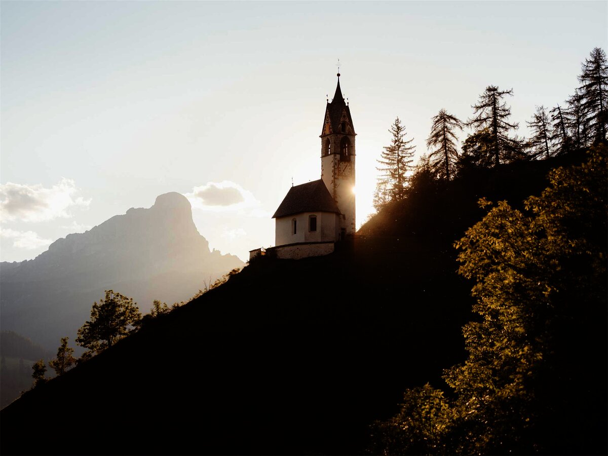
A chapel at La Valle in the Val Badia, below the Sasso della Croce.
Malga Dusler
7 km away, in Funes/Villnöß
A pasture hut at 1,800 m above Funes looking across to the Odle, on the Geisler circular hike, its menu built on the local Tyrolean kitchen.
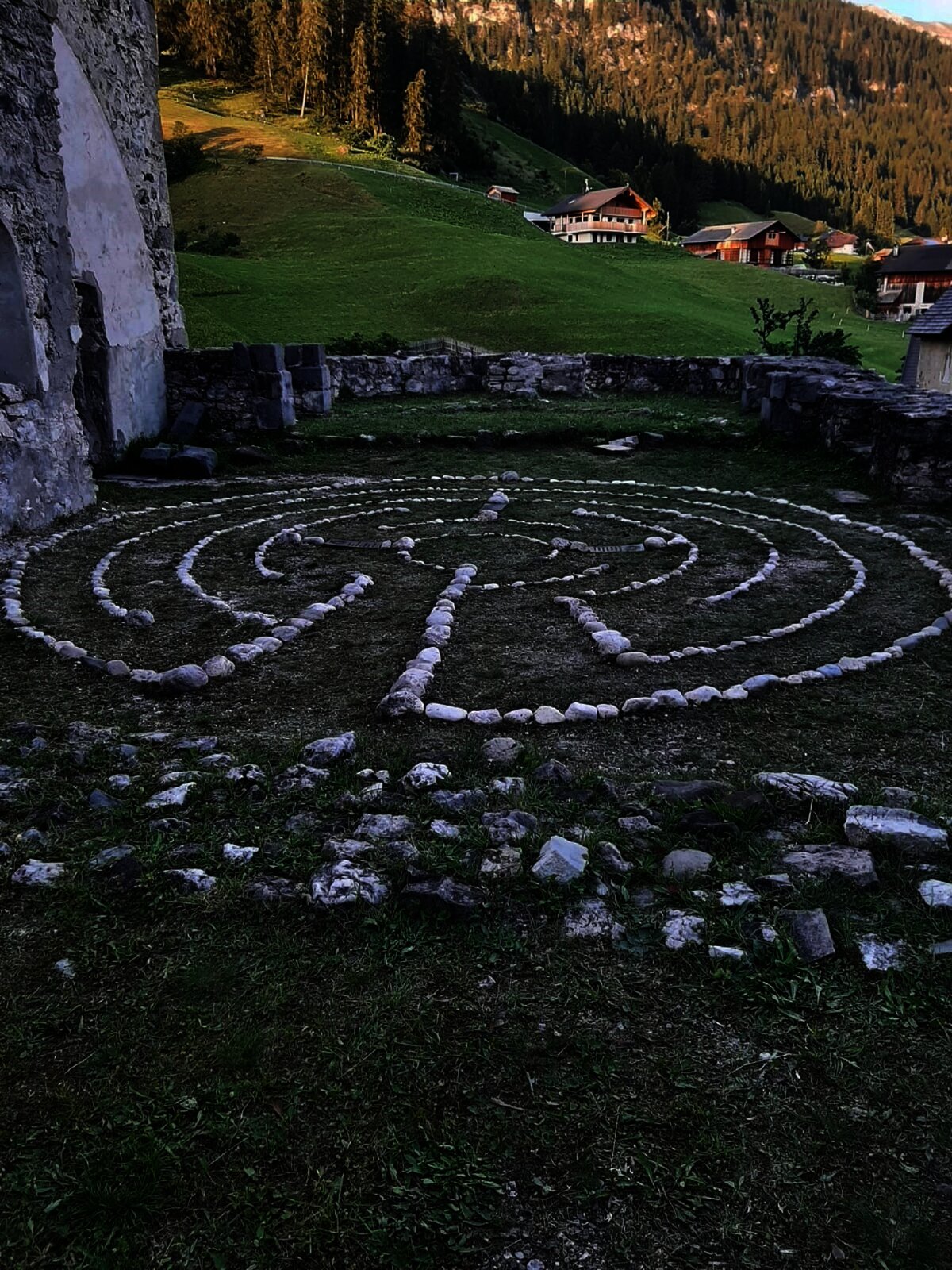
Sterzing, Pfitsch und FreienfeldIl labirinto di Dlijia vedla
7 km away, in La Valle/Wengen
A turf maze laid out beside the old church at La Valle, in the Val Badia.
Nothing of this kind in San Martino in Badia/St. Martin in Thurn.
Routes
50 routes, an even mix of activities · see the rest on suedtirol.info ↗
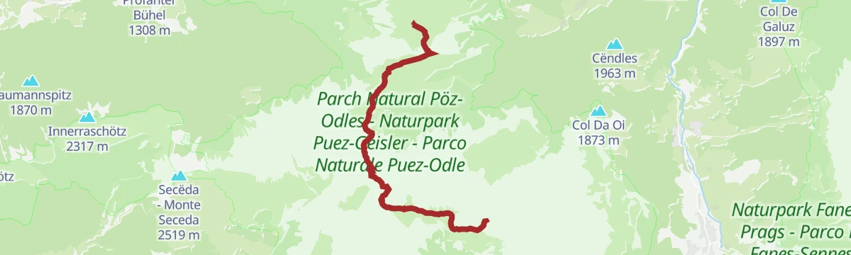
Dal Passo delle Erbe al Sass de Putia
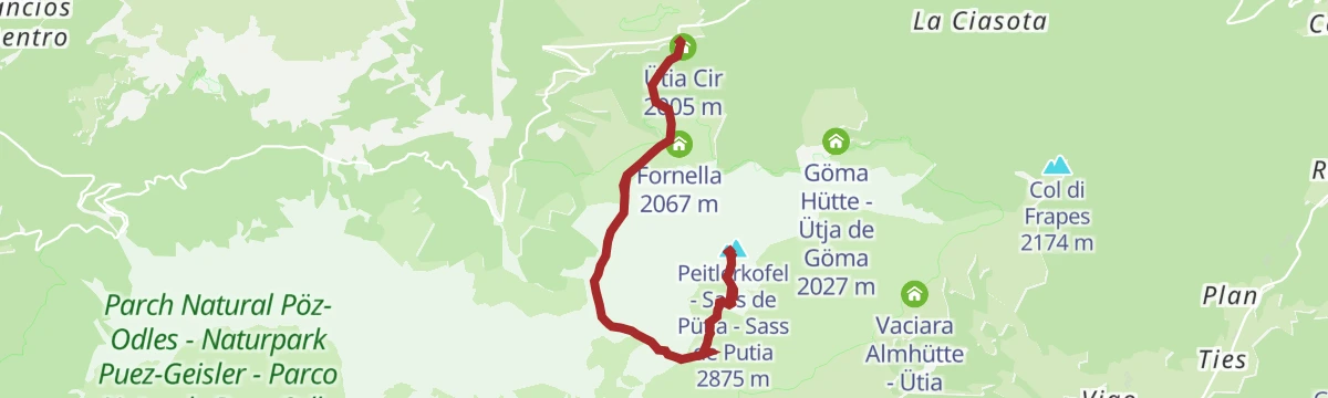
A demanding alpine ascent from the Passo delle Erbe to the Sass de Putia, the last stretch a ferrata where a harness is advised.
- 11.8 km
- Distance
- 954 m
- Ascent
- 7 h 49 min
- Duration
- 428
- Check-ins
 Peitlerkofel - Sass de Pütia - Sass de Putia 2 875 m
 Peitlerscharte - Forcella de Putia 2 357 m
- Jü de Börz - Würzjoch - Passo delle Erbe 1 987 m
 Ütia de Börz - Würzjochhütte 2 007 m
- Ütia Cir 2 005 m
- Peitler Hütte 2 055 m
- +2
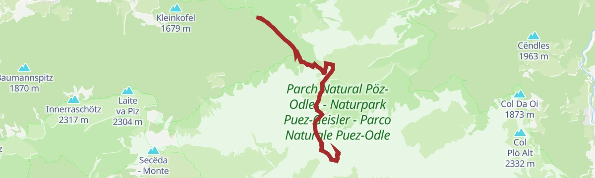
Open route Sterzing, Pfitsch und FreienfeldAl Sass de Putia attraverso il Rifugio Genova
A hard ascent of the Sass de Putia by way of the Genova hut, the last section a ferrata where a harness is advised, above the Funes valley.
- 15.7 km
- Distance
- 1 245 m
- Ascent
- 10 h 17 min
- Duration
- 318
- Check-ins
- Peitlerkofel - Sass de Pütia - Sass de Putia 2 875 m
- Peitlerscharte - Forcella de Putia 2 357 m
- Treffpunkt Zans 1 678 m
- Schlüterhütte - Rifugio Genova 2 306 m
- Ju dla Crusc - Kreuzkofeljoch - Passo Poma 2 340 m
- Kaserill-Alm – Malga Caserill 1 929 m
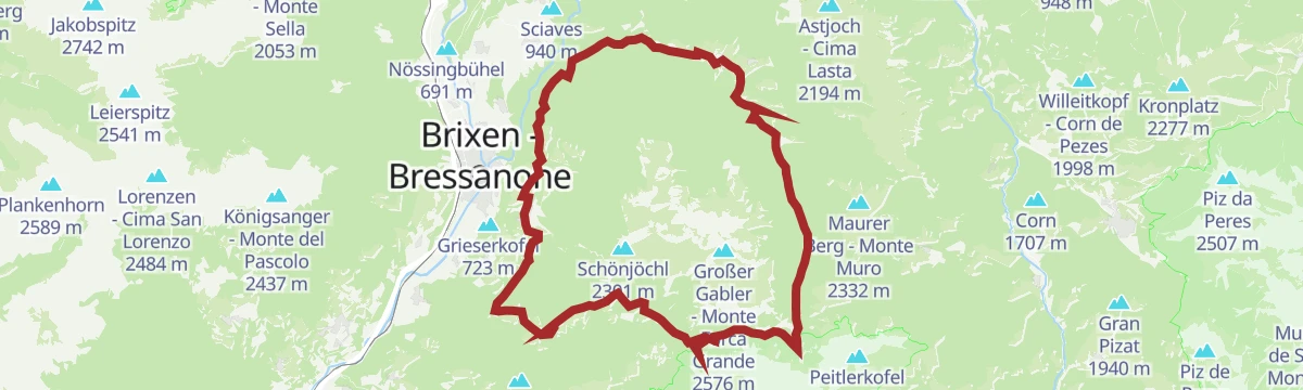
Open route Sterzing, Pfitsch und FreienfeldAlta Via Günther Messner
A demanding high route named after the climber Günther Messner, alternating exposed paths with cabled sections; not for anyone prone to vertigo.
- 15.3 km
- Distance
- 1 195 m
- Ascent
- 9 h 54 min
- Duration
- 91
- Check-ins
Open route Sterzing, Pfitsch und FreienfeldFrom parking slot Kalkofen to Würzjoch
A short climb from the Kalkofen car park to the Würzjoch pass, under the tower of the Sass de Putia.
- 2.7 km
- Distance
- 286 m
- Ascent
- 1 h 13 min
- Duration
- 123
- Check-ins
- Jü de Börz - Würzjoch - Passo delle Erbe 1 987 m
- Ütia de Börz - Würzjochhütte 2 007 m
- Kalkofenhütte - Baita Kalkofen 1 708 m
Open route VillnössDa Zannes attraverso Rifugio Genova fino al Passo delle Erbe
A walk through the Puez-Odle park from Zannes by way of the Genova hut to the Passo delle Erbe.
- 13.9 km
- Distance
- 843 m
- Ascent
- 5 h 13 min
- Duration
- 566
- Check-ins
- Jü de Börz - Würzjoch - Passo delle Erbe 1 987 m
- Treffpunkt Zans 1 678 m
- Schlüterhütte - Rifugio Genova 2 306 m
- Ütia de Börz - Würzjochhütte 2 007 m
- Vaciara Almhütte - Ütia Vaciara 2 092 m
- Ütia Cir 2 005 m
- +7
Open route Sterzing, Pfitsch und FreienfeldGeisler Circular Hike
A long circuit of the Odle group with two harder passages, the Roa and Pana saddles, and straightforward walking in between.
- 20.7 km
- Distance
- 1 461 m
- Ascent
- 9 h 39 min
- Duration
- 585
- Check-ins
- Geisleralm - Rifugio delle Odle 1 996 m
- Jëuf de Pana - Panascharte - Forcella Pana 2 444 m
- Gschnagenhardt Alm - Malga Casnago 2 006 m
- Zanser Alm - Malga Zannes 1 680 m
- Pieralongia 2 290 m
- Treffpunkt Zans 1 678 m
- +6
Open route VillnössPiz de Plaies Trail
A mountain-bike descent opened in 2014 above San Vigilio, from the Pedaga-Piz de Plaies cable car down a continuous run of jumps and banked bends.
- 2.8 km
- Distance
- 10 m
- Ascent
- 25 min
- Duration
- 48
- Check-ins
Open route Bruneck Kronplatz TourismusMTB Börz-Track
A forest-road climb from Antermoia up to the Jü de Börz and the huts of Munt de Fornela, below the Putia massif at around 2,000 m.
- 5.7 km
- Distance
- 550 m
- Ascent
- 54 min
- Duration
- 243
- Check-ins
- Jü de Börz - Würzjoch - Passo delle Erbe 1 987 m
- Ütia de Börz - Würzjochhütte 2 007 m
- Ütia Cir 2 005 m
- Sarighela 2 002 m
- Fornella 2 067 m
Open route San Vigilio DolomitesMTB Fanes-Tour
A circuit into the Fanes-Sennes-Prags park above San Vigilio, climbing past Ücia Pices Fanes and Ücia dles Muntagnoles to the Jú de Limo.
- 56.5 km
- Distance
- 1 346 m
- Ascent
- 6 h 17 min
- Duration
- 699
- Check-ins
- Capanna Alpina 1 732 m
- Üćia Pederù - Berggasthaus Pederü - Rifugio Pederü 1 548 m
- Rifugio Fanes 2 060 m
- Ucia de Gran Fanes 2 102 m
- Jú de Limo 2 172 m
- Ücia dles Muntagnoles 2 026 m
- +16
Open route San Vigilio DolomitesRoad bike tour to the passo delle Erbe/Würzjoch
A road loop from Corvara to the Passo delle Erbe, skirting the Puez-Odle park under the Dolomite walls.
- 68.9 km
- Distance
- 1 867 m
- Ascent
- 7 h 52 min
- Duration
- 403
- Check-ins
- Jü de Börz - Würzjoch - Passo delle Erbe 1 987 m
- Ütia de Börz - Würzjochhütte 2 007 m
- Ütia Cir 2 005 m
- Residence Elisa 1 559 m
- Hotel Bel Sit 1 513 m
- Malga Paraciora 1 377 m
- +8
Open route Alta Badia Tourism CooperativePiz de Plaies > San Vigilio
An unhurried descent from Piz de Plaies to San Vigilio, easy enough for children and pushchairs.
- 3.8 km
- Distance
- 10 m
- Ascent
- 1 h 18 min
- Duration
- 66
- Check-ins
- Col dl'Ancona 1 619 m
- Hotel La Para 1 492 m
- Berghotel Soleseid 1 475 m
- Piz de Plaies 1 321 m
- Ciasa Pedagà 1 309 m
- Ütia da Jù 1 628 m
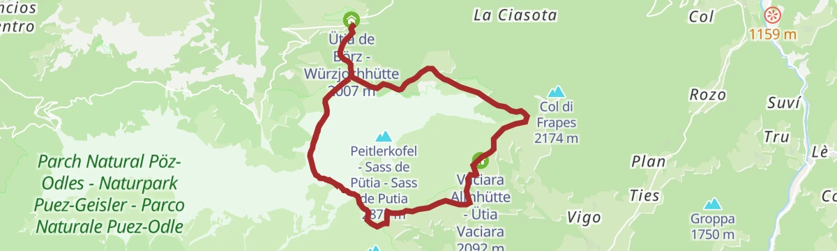
Open route Bruneck Kronplatz TourismusA walk around Mount Pütia
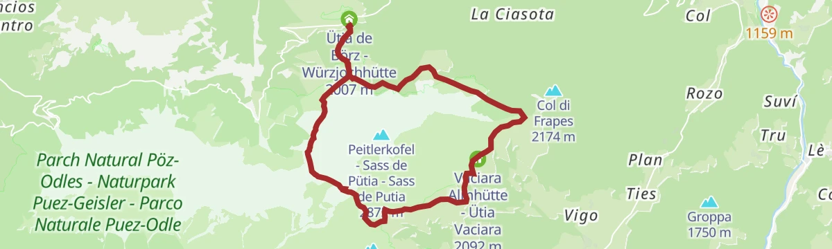
A circuit of the Sass de Pütia from the Passo delle Erbe, over the meadows that ring the massif, with several huts serving Ladin food along the way.
- 12.9 km
- Distance
- 566 m
- Ascent
- 4 h 25 min
- Duration
- 522
- Check-ins
- Peitlerscharte - Forcella de Putia 2 357 m
- Jü de Börz - Würzjoch - Passo delle Erbe 1 987 m
- Ütia de Börz - Würzjochhütte 2 007 m
- Vaciara Almhütte - Ütia Vaciara 2 092 m
- Ütia Cir 2 005 m
- Peitler Hütte 2 055 m
- +5
Open route San Vigilio DolomitesAlpine Path of the Dolomites no. 2 - stage 2 & 3
Two stages of the 180-kilometre high route from Brixen to Feltre, from the Plose hut to the Genova hut through the Puez-Odle park, with Sasso Putia in sight throughout.
- 23.6 km
- Distance
- 1 317 m
- Ascent
- 9 h 16 min
- Duration
- 437
- Check-ins
- Peitlerscharte - Forcella de Putia 2 357 m
- Schlüterhütte - Rifugio Genova 2 306 m
- Utia de Puez 2 475 m
- Cësa de Puez 2 478 m
- Kreuzjoch - Furcela de Munt de Furćia - Forcella di San Zenòn 2 293 m
- Ju dla Crusc - Kreuzkofeljoch - Passo Poma 2 340 m
- +8
Open route San Vigilio DolomitesMTB Gran Ju-Tour
A loop around the Piz de Plaies from San Vigilio, climbing to Col dl'Ancona, with a lift alternative, then paved road down to Pikolein.
- 17.2 km
- Distance
- 671 m
- Ascent
- 2 h 9 min
- Duration
- 86
- Check-ins
- Col dl'Ancona 1 619 m
- Hotel La Para 1 492 m
- Chi Cianeis - Ristorante, Bar 1 185 m
- Berghotel Soleseid 1 475 m
- Piz de Plaies 1 321 m
- Ufficio turistico 1 189 m
- +2
Open route San Vigilio DolomitesFrom Lüsen to the Ju de Börz
A steep climb from Luson up to the Passo delle Erbe at 1,987 m, finishing at the Ütia de Börz just above the saddle.
- 14.7 km
- Distance
- 1 023 m
- Ascent
- 1 h 55 min
- Duration
- 175
- Check-ins
- Jü de Börz - Würzjoch - Passo delle Erbe 1 987 m
- Ütia de Börz - Würzjochhütte 2 007 m
- Ütia Cir 2 005 m
- Stadel 1 571 m
- Grünfelder 1 005 m
- Imkerei Mair Martin 1 003 m
- +1
Open route VillnössAdventure hike Piz de Plaies
A very easy family trail from the Piz de Plaies top station on the Col dl'Ancona, with play stations and picnic spots on the way to the small summit.
- 1.5 km
- Distance
- 96 m
- Ascent
- 31 min
- Duration
- 50
- Check-ins
- Col d'Ancona 1 635 m
- Piz de Plaies 1 706 m
- Corn 1 707 m
- Col dl'Ancona 1 619 m
- Ütia da Jù 1 628 m
- Al Cir 1 632 m
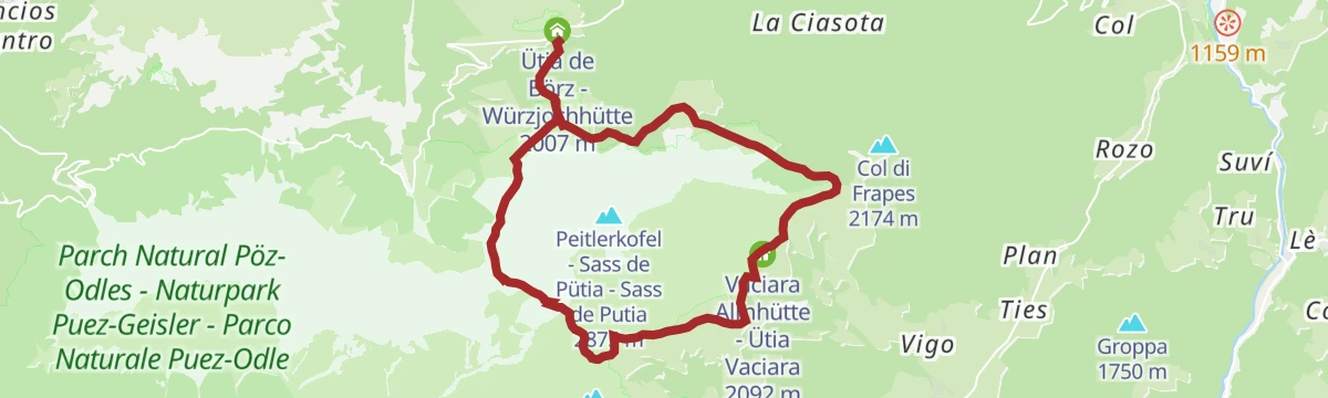
Open route San Vigilio DolomitesAround the Peitlerkofel
A circuit of the Sass de Putia inside the Puez-Odle park, from the meadows at the Passo delle Erbe up to the Peitlerscharte and round to the Göma pass.
- 12.9 km
- Distance
- 560 m
- Ascent
- 4 h 24 min
- Duration
- 522
- Check-ins
- Peitlerscharte - Forcella de Putia 2 357 m
- Jü de Börz - Würzjoch - Passo delle Erbe 1 987 m
- Ütia de Börz - Würzjochhütte 2 007 m
- Vaciara Almhütte - Ütia Vaciara 2 092 m
- Ütia Cir 2 005 m
- Peitler Hütte 2 055 m
- +5
Open route BrixenFrom Würzjoch to Sas de Putia
A hard climb from the Passo delle Erbe to the top of the Sass de Putia; the final stretch is a ferrata, best taken with a harness.
- 11.7 km
- Distance
- 950 m
- Ascent
- 6 h 6 min
- Duration
- 428
- Check-ins
- Peitlerkofel - Sass de Pütia - Sass de Putia 2 875 m
- Peitlerscharte - Forcella de Putia 2 357 m
- Jü de Börz - Würzjoch - Passo delle Erbe 1 987 m
- Ütia de Börz - Würzjochhütte 2 007 m
- Ütia Cir 2 005 m
- Peitler Hütte 2 055 m
- +2
Open route VillnössFrom Lüsen around the Plose-Massive
A full circuit of the Plose from Luson, over the Passo Eores at 1,863 m by the Halslhütte and back down the Hintere Lüsnertal.
- 46.2 km
- Distance
- 1 422 m
- Ascent
- 5 h 27 min
- Duration
- 70
- Check-ins
- Gasthaus Halslhütte 1 866 m
- Rodelalm 1 874 m
- Passo Eores (Halsl) 1 863 m
- Edelweißhütte 1 841 m
- Goller 1 310 m
- Zimmerer 1 596 m
- +12
Open route VillnössRoad bike tour along the Val Badia valley
A road circuit from Corvara down to Piccolino, then up to the quiet hamlet of Mirí above San Martino in Badia.
- 60.3 km
- Distance
- 1 280 m
- Ascent
- 6 h 34 min
- Duration
- 155
- Check-ins
- Corf 1 539 m
- Malga Paraciora 1 377 m
- Glam's 1 425 m
- L'Fana 1 425 m
- Badia Pub 1 327 m
- Badia Tourist Office 1 332 m
Open route Alta Badia Tourism CooperativeHike around Col dl'Ancona
A very short, level circuit from the Piz de Plaies top station by the Alpinus farm and back through wood, facing the Val Badia and the Sass de Putia.
- 1.2 km
- Distance
- 42 m
- Ascent
- 23 min
- Duration
- 38
- Check-ins
Open route San Vigilio DolomitesCircular Hiking Tour around the Sass Putia
A round of the Sass de Putia between broken rock and wide alpine meadow, through the plant and animal life of the high Dolomites.
- 12.9 km
- Distance
- 622 m
- Ascent
- 4 h 30 min
- Duration
- 522
- Check-ins
- Peitlerscharte - Forcella de Putia 2 357 m
- Jü de Börz - Würzjoch - Passo delle Erbe 1 987 m
- Ütia de Börz - Würzjochhütte 2 007 m
- Vaciara Almhütte - Ütia Vaciara 2 092 m
- Ütia Cir 2 005 m
- Peitler Hütte 2 055 m
- +5
Open route VillnössHike from Würzjoch ridge to the Peitlerkofel mountain
A steep ascent from the Passo delle Erbe to the summit of the Sass de Putia, which stands over the high pastures with a wide view of the Dolomites.
- 5.8 km
- Distance
- 931 m
- Ascent
- 3 h 40 min
- Duration
- 428
- Check-ins
- Peitlerkofel - Sass de Pütia - Sass de Putia 2 875 m
- Peitlerscharte - Forcella de Putia 2 357 m
- Jü de Börz - Würzjoch - Passo delle Erbe 1 987 m
- Ütia de Börz - Würzjochhütte 2 007 m
- Ütia Cir 2 005 m
- Peitler Hütte 2 055 m
- +2
Open route BrixenRoad bike tour to the Furcia Pass
A road loop from Badia over the Ju de Furćia into the Val Pusteria, on climbing roads the Giro d'Italia has used more than once.
- 85.2 km
- Distance
- 1 758 m
- Ascent
- 9 h 13 min
- Duration
- 131
- Check-ins
- Furcia Center 1 741 m
- Ju de Furćia - Furkelpass - Passo Furcia 1 789 m
- Cafe Preroman 1 107 m
- Posta 1 019 m
- Hubertus 1 292 m
- Marchner Hütte 1 551 m
- +9
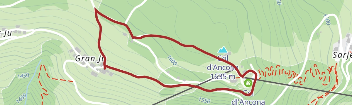
Open route Alta Badia Tourism CooperativeHike around Gran Ju
An easy circuit from the Piz de Plaies top station out to Gran Ju hamlet and back on a forest path, facing San Martino and the Sass de Putia.
- 1.7 km
- Distance
- 63 m
- Ascent
- 33 min
- Duration
- 38
- Check-ins
Open route San Vigilio DolomitesPeitlerkofel hiking circuit
A middling circuit of the Sass de Putia in the Puez-Odle park, from the Passo delle Erbe meadows to the Peitlerscharte, the Peitler pastures and the Gomajoch.
- 12.8 km
- Distance
- 552 m
- Ascent
- 4 h 22 min
- Duration
- 522
- Check-ins
- Peitlerscharte - Forcella de Putia 2 357 m
- Jü de Börz - Würzjoch - Passo delle Erbe 1 987 m
- Ütia de Börz - Würzjochhütte 2 007 m
- Vaciara Almhütte - Ütia Vaciara 2 092 m
- Ütia Cir 2 005 m
- Peitler Hütte 2 055 m
- +5
Open route BrixenPasso delle Erbe - Peak Putia
From the Passo delle Erbe on trail 8a across pasture, then trail 4 to the Forcella di Putia and up to the gap between the main and lower summits.
- 5.7 km
- Distance
- 903 m
- Ascent
- 3 h 32 min
- Duration
- 428
- Check-ins
- Peitlerkofel - Sass de Pütia - Sass de Putia 2 875 m
- Peitlerscharte - Forcella de Putia 2 357 m
- Jü de Börz - Würzjoch - Passo delle Erbe 1 987 m
- Ütia de Börz - Würzjochhütte 2 007 m
- Ütia Cir 2 005 m
- Peitler Hütte 2 055 m
- +2
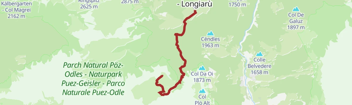
Open route San Vigilio DolomitesSummer hike: Lungiarü - Muntcörta - Antersasc
From the Muntcörta car park behind the riding centre, a forest road up through the woods to the Antersasc pastures below the Crep dales Dodesc.
- 8.0 km
- Distance
- 986 m
- Ascent
- 1 h 32 min
- Duration
- 20
- Check-ins
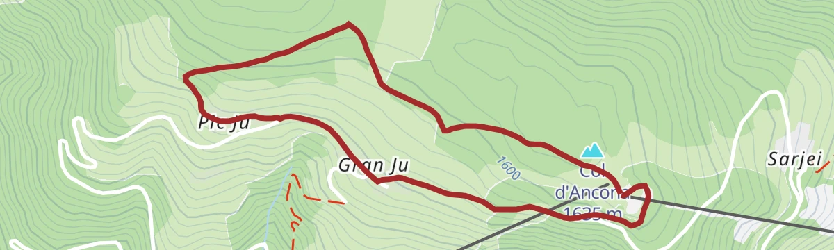
Open route San Vigilio DolomitesHike around Pice Ju
An easy circuit from the Piz de Plaies top station on the Col dl'Ancona out to the Ju hamlets, returning through forest above San Martino.
- 2.7 km
- Distance
- 89 m
- Ascent
- 51 min
- Duration
- 38
- Check-ins
Open route San Vigilio DolomitesDolorama 2. Stage
The second of the four Dolorama stages, on the 61 km line from the Rodengo pastures to Laion with the Dolomites in sight.
- 14.3 km
- Distance
- 655 m
- Ascent
- 4 h 48 min
- Duration
- 517
- Check-ins
- Jü de Börz - Würzjoch - Passo delle Erbe 1 987 m
- Schlüterhütte - Rifugio Genova 2 306 m
- Ütia de Börz - Würzjochhütte 2 007 m
- Vaciara Almhütte - Ütia Vaciara 2 092 m
- Ütia Cir 2 005 m
- Maurerberg Hütte - Rifugio Monte Muro 2 130 m
- +6
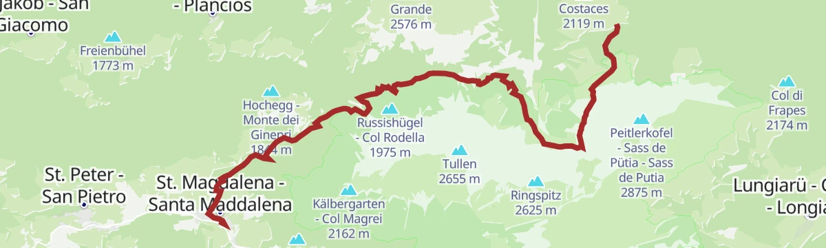
Open route LajenDa S. Maddalena attraverso Halsl al Passo delle Erbe
A long climb from Santa Maddalena over the Halsl to the Passo delle Erbe, with the Odle and the Sass de Putia in view.
- 14.9 km
- Distance
- 914 m
- Ascent
- 5 h 3 min
- Duration
- 347
- Check-ins
- Jü de Börz - Würzjoch - Passo delle Erbe 1 987 m
- Ütia de Börz - Würzjochhütte 2 007 m
- Ütia Cir 2 005 m
- Peitler Hütte 2 055 m
- Sarighela 2 002 m
- Fornella 2 067 m
- +5
Open route Sterzing, Pfitsch und FreienfeldHike around Piz de Plaies
An easy circuit from the Piz de Plaies top station to the Alpinus farm, then by forest path around the small peak, with the Val Badia below.
- 3.8 km
- Distance
- 122 m
- Ascent
- 1 h 11 min
- Duration
- 13
- Check-ins
Open route San Vigilio DolomitesSummer hiking: Passo delle Erbe - Forcella de Pütia - Rifugio Genova
From the Passo delle Erbe on trail 8a below the north face of the Pütia to the Forcella di Pütia, then down the Alta Via 2 to the Genova hut at 2,297 m.
- 5.9 km
- Distance
- 418 m
- Ascent
- 2 h 11 min
- Duration
- 468
- Check-ins
- Peitlerscharte - Forcella de Putia 2 357 m
- Jü de Börz - Würzjoch - Passo delle Erbe 1 987 m
- Schlüterhütte - Rifugio Genova 2 306 m
- Ütia de Börz - Würzjochhütte 2 007 m
- Ütia Cir 2 005 m
- Peitler Hütte 2 055 m
- +3
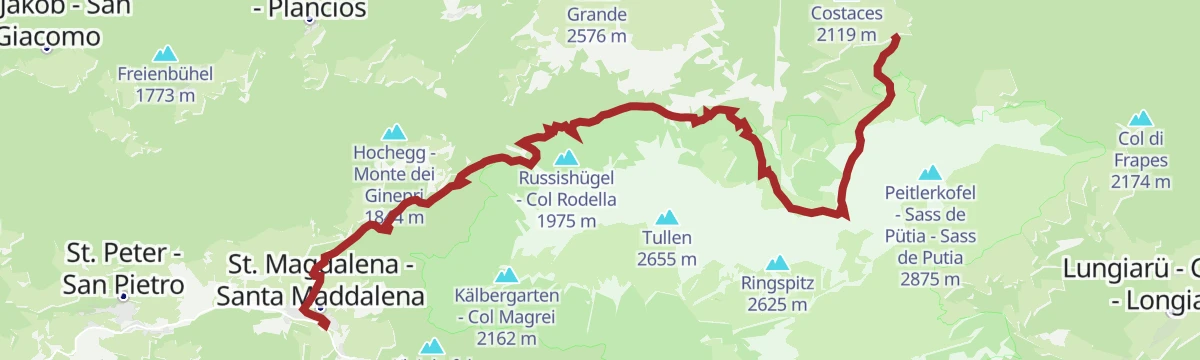
Open route San Vigilio DolomitesFrom St. Magdalena via Halsl to Würzjoch
A long climb from Santa Maddalena by the Halsl to the Passo delle Erbe, facing the Odle peaks and the Sass de Putia.
- 14.8 km
- Distance
- 907 m
- Ascent
- 5 h 1 min
- Duration
- 347
- Check-ins
- Jü de Börz - Würzjoch - Passo delle Erbe 1 987 m
- Ütia de Börz - Würzjochhütte 2 007 m
- Ütia Cir 2 005 m
- Peitler Hütte 2 055 m
- Sarighela 2 002 m
- Fornella 2 067 m
- +5
Open route VillnössHike from Picolin across Plaies - Longega and back
From the chapel at Picolin over the bridge and north on forest road 22 through the Plaies wood, then by road and pavement to Longega and back.
- 5.3 km
- Distance
- 127 m
- Ascent
- 1 h 40 min
- Duration
- 12
- Check-ins
Open route San Vigilio DolomitesSummer hike: Passo delle Erbe - Forcella di Putia
From the Passo delle Erbe on trail 8a over pasture, then trail 4 up to the Forcella di Putia under the north wall of the massif.
- 3.8 km
- Distance
- 401 m
- Ascent
- 1 h 46 min
- Duration
- 377
- Check-ins
- Peitlerscharte - Forcella de Putia 2 357 m
- Jü de Börz - Würzjoch - Passo delle Erbe 1 987 m
- Ütia de Börz - Würzjochhütte 2 007 m
- Ütia Cir 2 005 m
- Peitler Hütte 2 055 m
- Sarighela 2 002 m
- +1
Open route San Vigilio DolomitesTo the Sas de Putia passing by Schlüterhütte
A hard ascent of the Sass de Putia by the Schlueter hut, facing the Odle and the Funes valley; the final stretch is a ferrata, best done with a harness.
- 15.6 km
- Distance
- 1 242 m
- Ascent
- 7 h 60 min
- Duration
- 318
- Check-ins
- Peitlerkofel - Sass de Pütia - Sass de Putia 2 875 m
- Peitlerscharte - Forcella de Putia 2 357 m
- Treffpunkt Zans 1 678 m
- Schlüterhütte - Rifugio Genova 2 306 m
- Ju dla Crusc - Kreuzkofeljoch - Passo Poma 2 340 m
- Kaserill-Alm – Malga Caserill 1 929 m
Open route VillnössWalking tour: Lungiarü - Muntcörta - Pares - Frëina - Lungiarü
An easy round from Lungiarü by gravel road to Frëina and Juvel, then through forest to Pares and back on the Medalghes forest road.
- 6.3 km
- Distance
- 220 m
- Ascent
- 2 h
- Duration
- 10
- Check-ins
Open route San Vigilio DolomitesZans - Schlüterhütte - Kreuzjoch
A varied climb from Zannes to the Schlueter hut and the Kreuzjoch, with the Odle group close at hand.
- 10.9 km
- Distance
- 748 m
- Ascent
- 4 h 59 min
- Duration
- 310
- Check-ins
- Treffpunkt Zans 1 678 m
- Schlüterhütte - Rifugio Genova 2 306 m
- Kreuzjoch - Furcela de Munt de Furćia - Forcella di San Zenòn 2 293 m
- Ju dla Crusc - Kreuzkofeljoch - Passo Poma 2 340 m
- Gampen Alm - Malga Gampen 2 062 m
- Kaserill-Alm – Malga Caserill 1 929 m
- +4
Open route VillnössHut-tour Antermoia
A hut-to-hut round from the village of Antermoia by Alfarëi and Montemuro, down to the Pecol hut and then on trail 8 to the Passo delle Erbe.
- 16.6 km
- Distance
- 947 m
- Ascent
- 6 h 43 min
- Duration
- 317
- Check-ins
- Jü de Börz - Würzjoch - Passo delle Erbe 1 987 m
- Ütia de Börz - Würzjochhütte 2 007 m
- Ütia Cir 2 005 m
- Maurerberg Hütte - Rifugio Monte Muro 2 130 m
- Sarighela 2 002 m
- Fornella 2 067 m
- +2
Open route San Vigilio DolomitesSummer hiking trail from Antermoia across Alfarëi - Colac and back to Antermoia
From the parish church at Antermoia on trail 20b over the stream and meadows to the Alfarëi farm, then down a forest road to the hamlet of Colac.
- 3.2 km
- Distance
- 164 m
- Ascent
- 1 h 11 min
- Duration
- 2
- Check-ins
Open route San Vigilio DolomitesDa Russis fino al Passo delle Erbe
A climb from Russis through varied country up to the Passo delle Erbe at the head of the Funes valley.
- 8.0 km
- Distance
- 506 m
- Ascent
- 2 h 58 min
- Duration
- 288
- Check-ins
- Jü de Börz - Würzjoch - Passo delle Erbe 1 987 m
- Ütia de Börz - Würzjochhütte 2 007 m
- Ütia Cir 2 005 m
- Peitler Hütte 2 055 m
- Sarighela 2 002 m
- Fornella 2 067 m
Open route Sterzing, Pfitsch und FreienfeldLungiarü - Val di Murins - Genova Inn – Pütia
A long climb from Lungiarü up the Val di Morins, where eight working mills and an old lime kiln stand, then by the Genova hut to the Sass de Pütia.
- 10.0 km
- Distance
- 1 365 m
- Ascent
- 5 h 36 min
- Duration
- 256
- Check-ins
- Peitlerkofel - Sass de Pütia - Sass de Putia 2 875 m
- Peitlerscharte - Forcella de Putia 2 357 m
- Schlüterhütte - Rifugio Genova 2 306 m
- Ju dla Crusc - Kreuzkofeljoch - Passo Poma 2 340 m
- Lech de Poz 2 172 m
Open route San Vigilio DolomitesBarrier-free walk: San Vigilio - Pares - Seres
A short surfaced walk from the Pares car park at Lungiarü past the old lime kiln to the hamlet of Seres, at the mouth of the valley of the mills.
- 995 m
- Distance
- 56 m
- Ascent
- 19 min
- Duration
Open route San Vigilio DolomitesEuropa Höhenweg 2 - 7. Etappe Südtirol
A stage of the European high route number 2 crossing the Puez-Odle park above the Funes valley.
- 10.0 km
- Distance
- 743 m
- Ascent
- 4 h 32 min
- Duration
- 245
- Check-ins
- Schlüterhütte - Rifugio Genova 2 306 m
- Utia de Puez 2 475 m
- Cësa de Puez 2 478 m
- Kreuzjoch - Furcela de Munt de Furćia - Forcella di San Zenòn 2 293 m
- Medalges-Alm 2 293 m
- Furcela dla Roa - Roa-Scharte - Forcella della Roa 2 617 m
- +2
Open route VillnössSas dal Ega
A mountain route in wild country to the Sas dal Ega above the Funes valley, with short stretches of climbing.
- 16.5 km
- Distance
- 1 625 m
- Ascent
- 10 h 1 min
- Duration
- 172
- Check-ins
- Wasserkofel - Sas dal'Ega - Furchetta Grande 2 924 m
- Zanser Alm - Malga Zannes 1 680 m
- Treffpunkt Zans 1 678 m
- Kreuzjoch - Furcela de Munt de Furćia - Forcella di San Zenòn 2 293 m
- Tschantschenon 1 933 m
- Furcela dal'Ega - Wasserscharte - Forcella Mont dal'Ega 2 642 m
Open route VillnössDidactic path: Tru Vistles
A short themed walk starting opposite the church gate, with games and boards on the land, the people and the traditions of the valley.
- 3.5 km
- Distance
- 52 m
- Ascent
- 56 min
- Duration
Open route San Vigilio DolomitesAntermoia - Passo delle Erbe - Pütia Meadows
A two-hour climb out of the small village of Antermoia, crossing the Passo delle Erbe up to wide pastures below the rock walls of the Sass de Pütia.
- 5.5 km
- Distance
- 567 m
- Ascent
- 2 h 27 min
- Duration
- 243
- Check-ins
- Jü de Börz - Würzjoch - Passo delle Erbe 1 987 m
- Ütia de Börz - Würzjochhütte 2 007 m
- Ütia Cir 2 005 m
- Sarighela 2 002 m
- Fornella 2 067 m
Open route San Vigilio DolomitesTo the Piz Duleda - Puez Group
A long climb to Piz Duleda, an exposed top in the Puez group with a wide view over the surrounding ranges.
- 16.2 km
- Distance
- 1 409 m
- Ascent
- 8 h 54 min
- Duration
- 154
- Check-ins
- Piz Duleda 2 909 m
- Treffpunkt Zans 1 678 m
- Kreuzjoch - Furcela de Munt de Furćia - Forcella di San Zenòn 2 293 m
- Furcela dla Roa - Roa-Scharte - Forcella della Roa 2 617 m
- Zanser Schwaige 1 692 m
- Tschantschenon 1 933 m
Open route VillnössHike from Antermoia across Colac - Val to Rina
From the Antermoia sports ground on trail 20 up to Colac, down to the hamlet of Val, then on the Michael Plattner path through wood towards Rina.
- 5.5 km
- Distance
- 127 m
- Ascent
- 1 h 41 min
- Duration
Open route San Vigilio Dolomites
No routes of this kind in San Martino in Badia/St. Martin in Thurn yet.
The region's own picks

Featured route
From parking slot Kalkofen to Würzjoch
A short climb from the Kalkofen car park to the Würzjoch pass, under the tower of the Sass de Putia.
Planning a trip to San Martino in Badia/St. Martin in Thurn?
Everything else Trentino-Alto Adige/Südtirol has, in one place


Take San Martino in Badia/St. Martin in Thurn with you into the mountains
Every route on this page with 3D terrain, GPX navigation and offline maps — including the valleys with no signal.
Data sources
- Official website: suedtirol.info ↗
- Routes and highlights: San Vigilio Dolomites, Sterzing, Pfitsch und Freienfeld, Villnöss, Alta Badia, Alta Badia Tourism Cooperative, Brixen, Bruneck Kronplatz Tourismus, Lajen
- Published as open data by the tourist boards named above.
- Region summary generated from the board's own material.
