






Curated by Sterzing, Pfitsch und Freienfeld
San Lorenzo di Sebato/St. Lorenzen
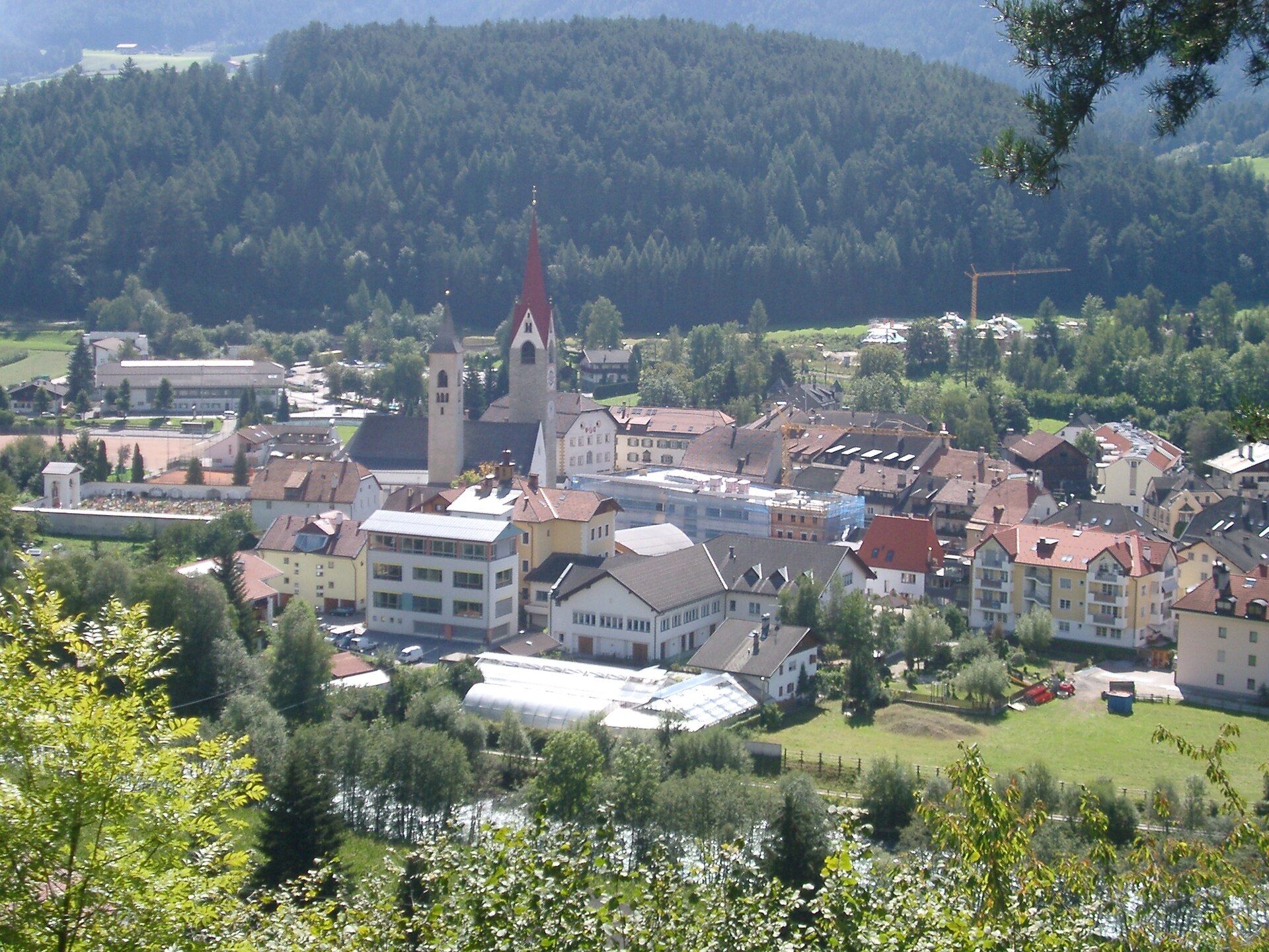
A Pusteria village on the Roman site of Sebatum, at the mouth of the Val Badia below the Cima Lasta.
Photo: myself · CC BY-SA 3.0 licence
- 15Highlights
- 29Routes
- Featured summit · Kronplatz
Highlights
All 15 from neighbouring places
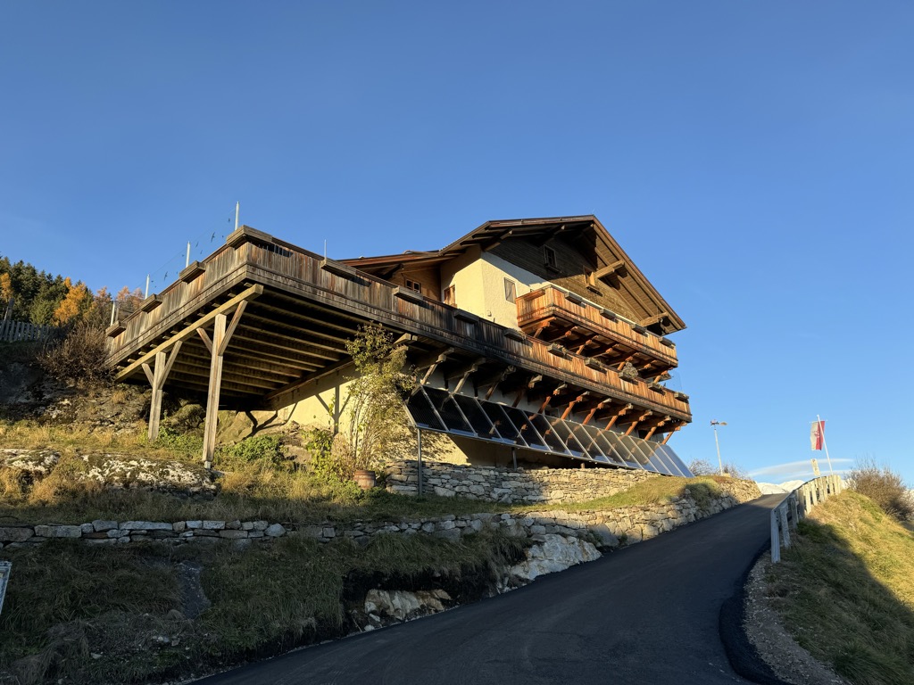
Albergo Kofler am Kofl
7.1 km away, in Falzes/Pfalzen
A mountain inn on a knoll above Falzes, looking down the Val Pusteria towards the Dolomites.
Sterzing, Pfitsch und FreienfeldPicio Pré Restaurant
9.2 km away, in Marebbe/Enneberg
A Slow Food mountain restaurant at 1,952 m in the Ladin comune of Marebbe, reached on the walk from the Furkelpass and open summer and winter.
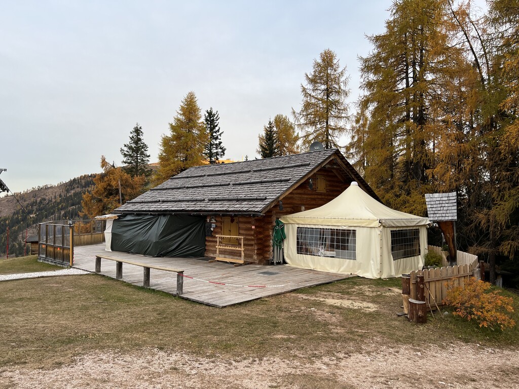
Malga Moarhof
9.4 km away, in Chienes/Kiens
A farm dairy on the slopes above Chienes, on the sunny side of the Val Pusteria.
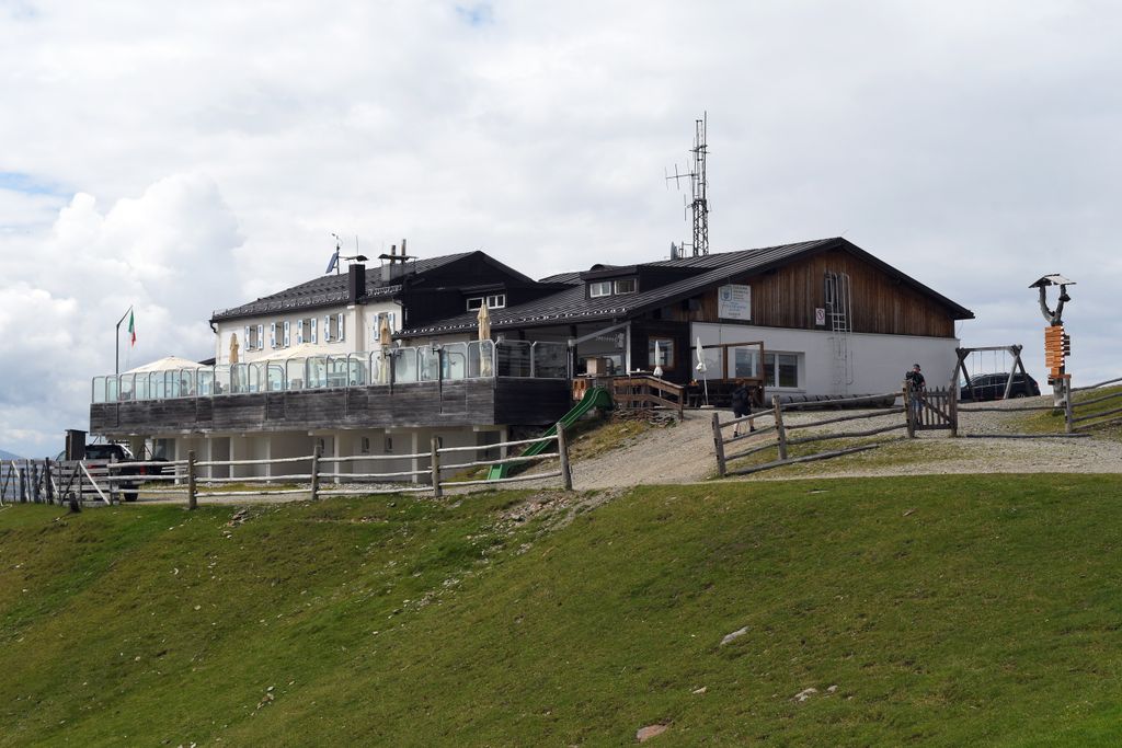
Rifugio Plose
13 km away, in Luson/Lüsen
A refuge on the Plose above Luson, on the broad ridge east of Bressanone that carries the ski runs and summer paths.
Sterzing, Pfitsch und FreienfeldMuseum Ladin Ciastel de Tor
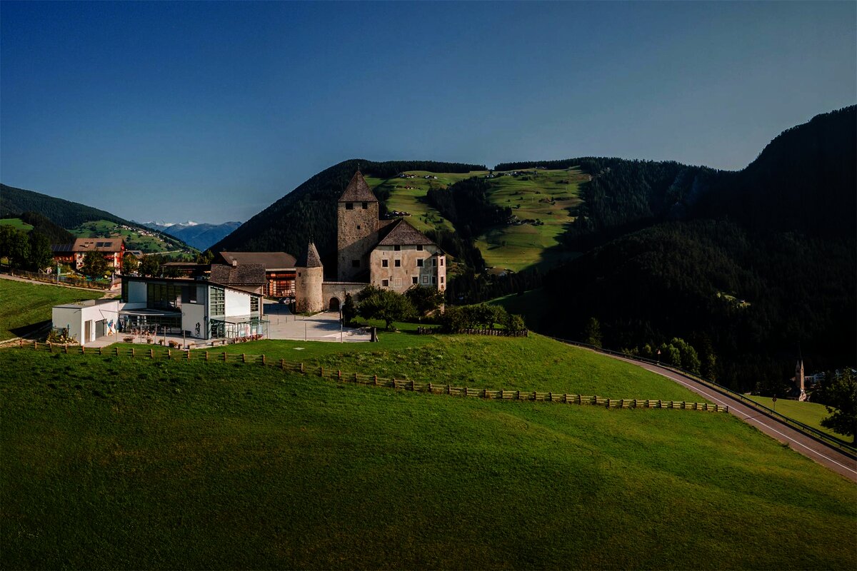
9.7 km away, in San Martino in Badia/St. Martin in Thurn
A museum in the fourteenth-century Ciastel de Tor at San Martino in Badia, opened in 2001 on Ladin language, history and geology.
Rifugio Cir
11 km away, in San Martino in Badia/St. Martin in Thurn
A mountain refuge in the hills above San Martino in Badia, on the Ladin side of the Val Badia.
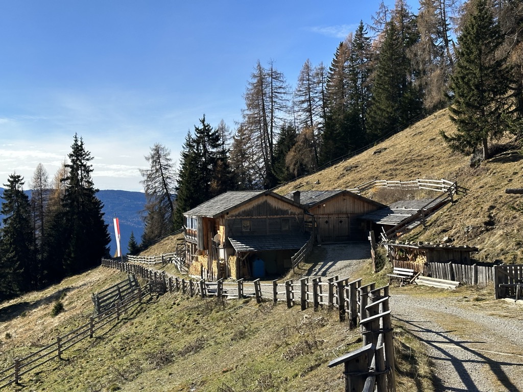
Sterzing, Pfitsch und FreienfeldGöma
11.3 km away, in San Martino in Badia/St. Martin in Thurn
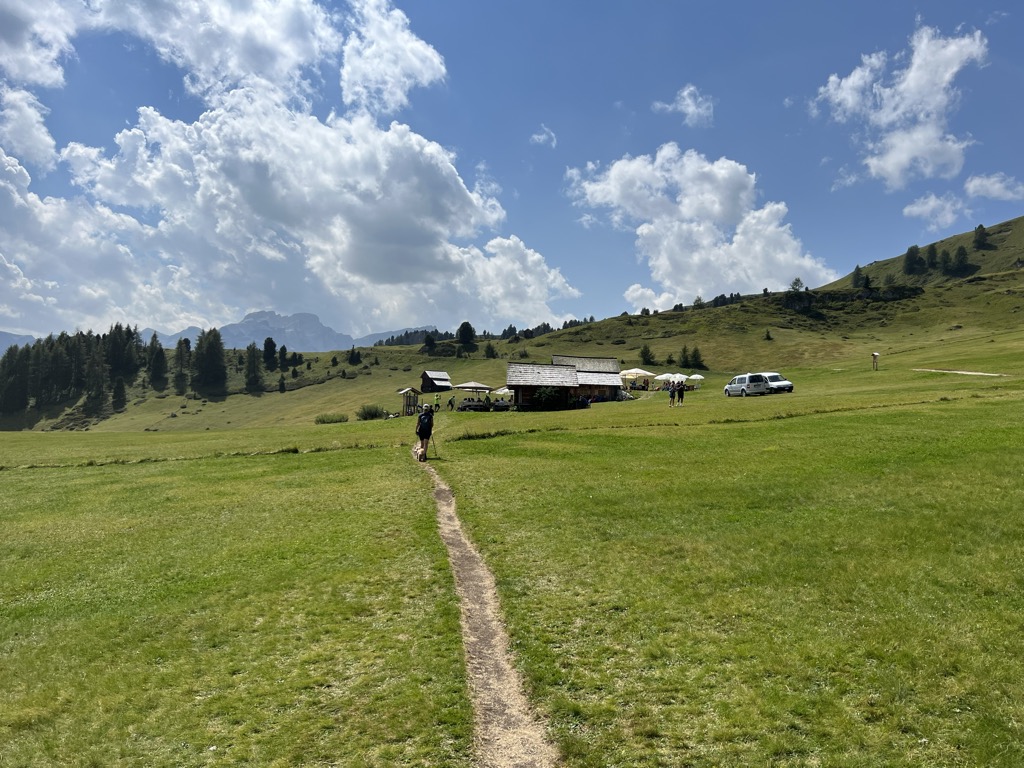
A dairy hut on the pastures above San Martino in Badia, in the Val Badia.
Sterzing, Pfitsch und FreienfeldVaciara
12.4 km away, in San Martino in Badia/St. Martin in Thurn
A pasture hut above San Martino in Badia, reached by forest track from the valley floor of the Val Badia.
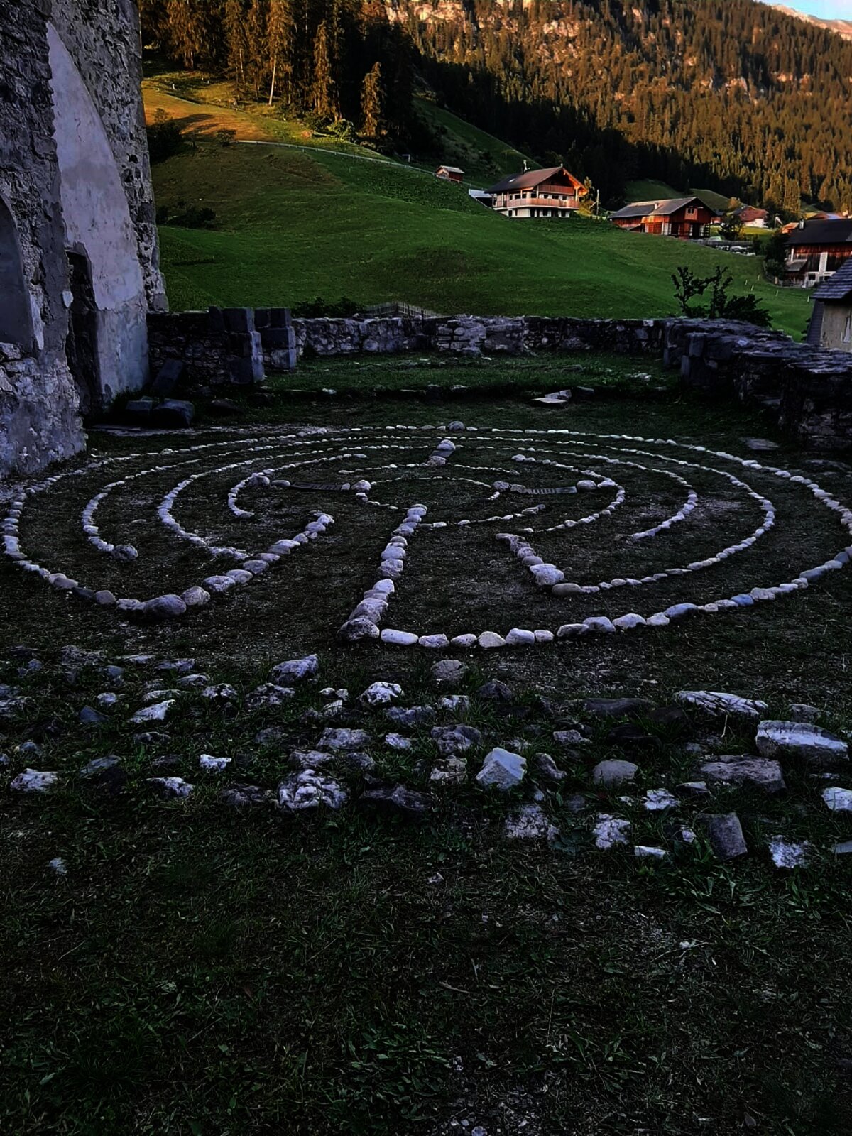
Il labirinto di Dlijia vedla
12.5 km away, in La Valle/Wengen
A turf maze laid out beside the old church at La Valle, in the Val Badia.
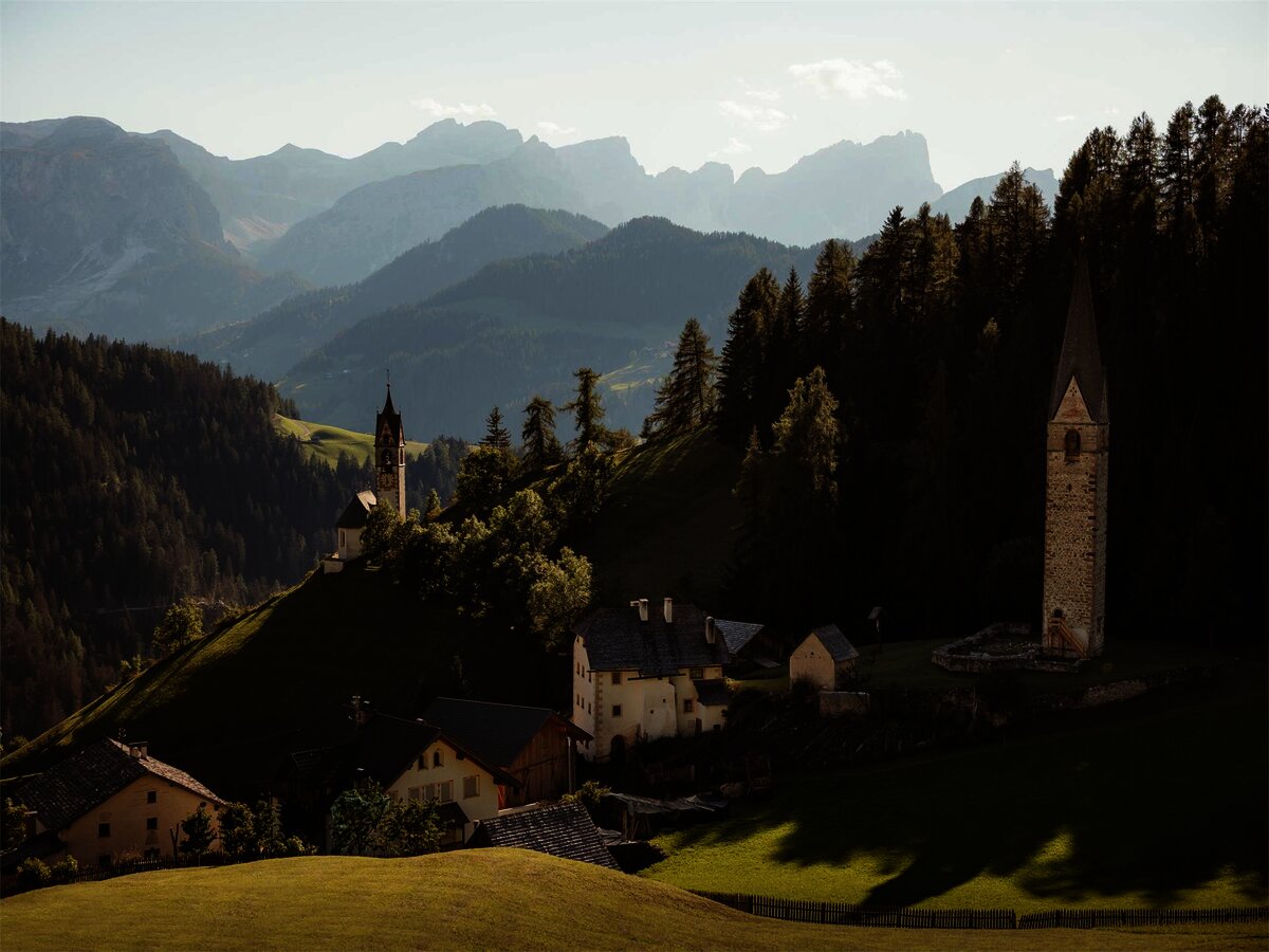
Vecchia chiesa parrocchiale La Val
12.5 km away, in La Valle/Wengen
The old parish church of La Valle, kept beside its replacement on the hill above the village.
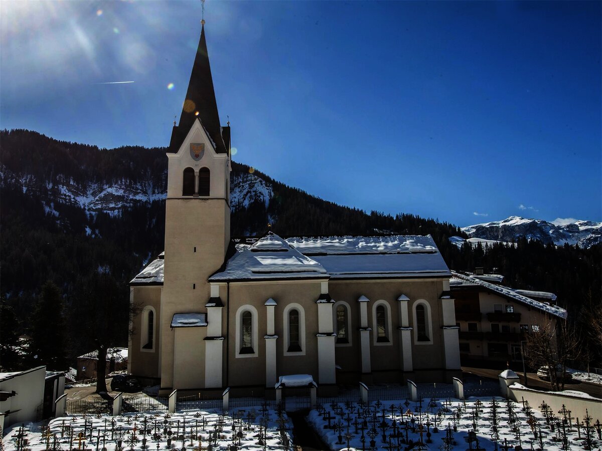
Chiesa parrocchiale La Val
12.6 km away, in La Valle/Wengen
The parish church of La Valle, on the sunny terrace above the Gader stream.
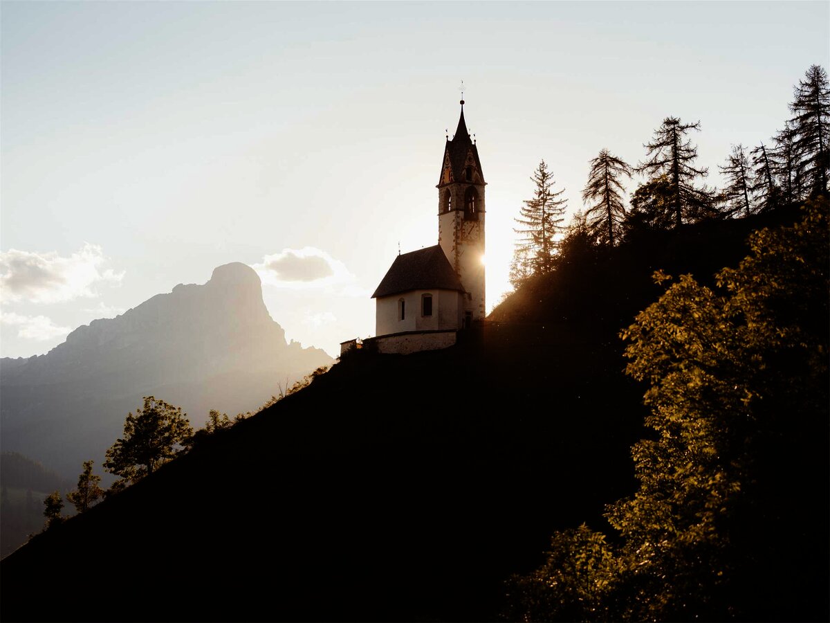
Chiesa di Santa Barbara
12.6 km away, in La Valle/Wengen
A chapel at La Valle in the Val Badia, below the Sasso della Croce.
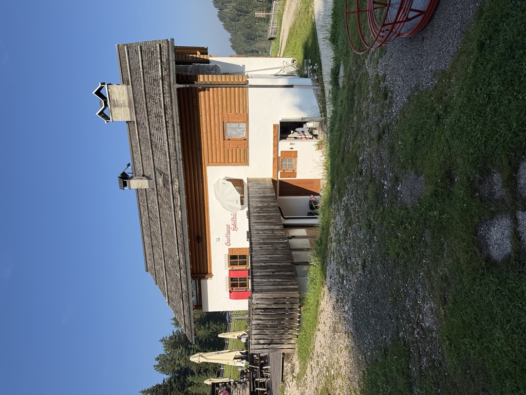
Albergo Halslhütte
13.4 km away, in Funes/Villnöß
A guest house at 1,866 m above Funes on the western edge of the Puez-Odle park, its kitchen known for stew and dumplings, game, and Kaiserschmarrn.
Halslhütte
13.4 km away, in Funes/Villnöß
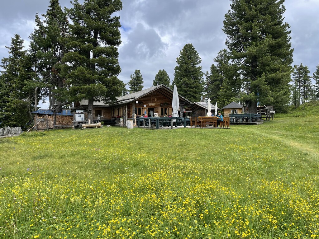
A Tyrolean mountain inn at 1,866 m above Funes, with terrace, garden and playground, on the way from S. Maddalena over the Halsl to the Passo delle Erbe.
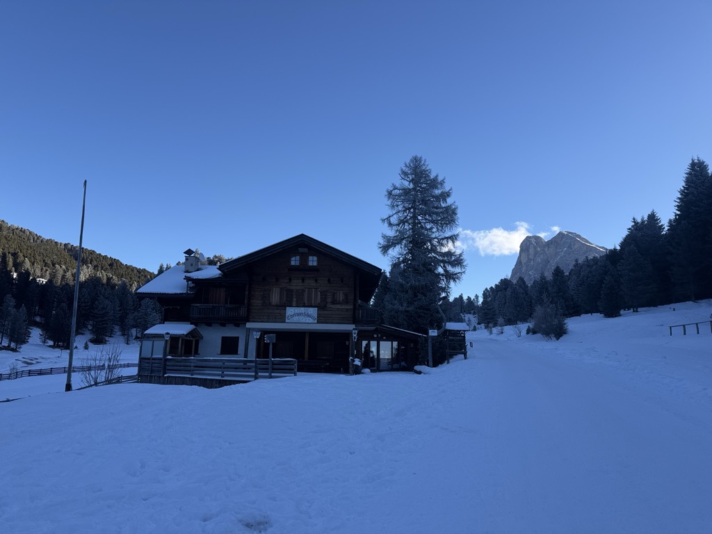
Edelweißhütte
13.4 km away, in Funes/Villnöß
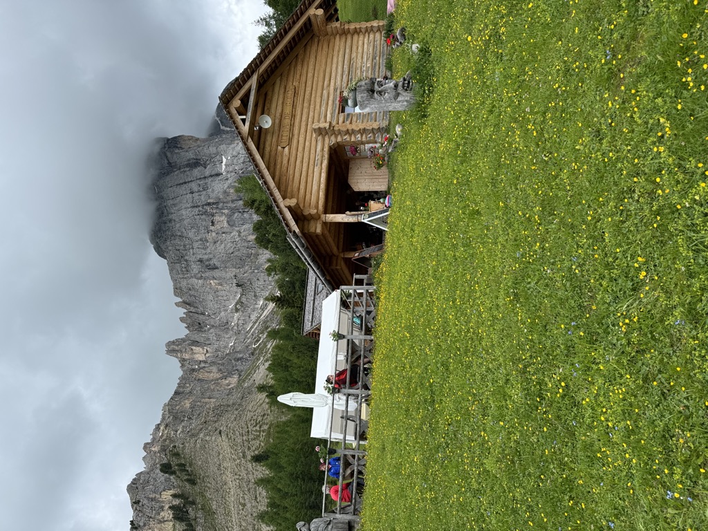
A hut at 1,841 m at the foot of the Sass de Putia, standing directly on the road over the Passo delle Erbe above Funes.
Nothing of this kind in San Lorenzo di Sebato/St. Lorenzen.
Routes
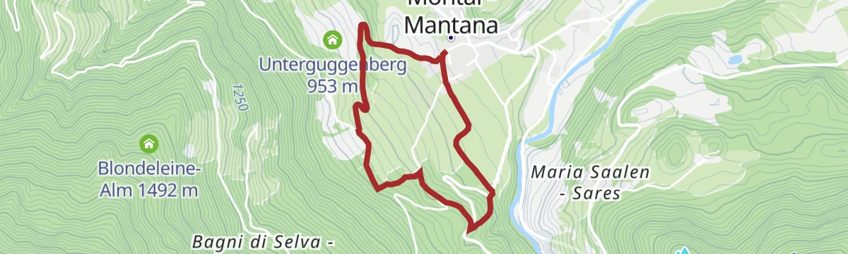
St. Lorenzen/San Lorenzo – Maria Saalen/Maria Sares
An easy walk from San Lorenzo di Sebato up to the pilgrimage church of Maria Sares, built in the mid-17th century above the Pusteria valley.
- 4.8 km
- Distance
- 164 m
- Ascent
- 1 h 23 min
- Duration
- 13
- Check-ins
Open route Bruneck Kronplatz TourismusPlan de Corones > S. Stefano > Riscone
A long descent from the 2,275 m summit of the Kronplatz on trails 8, 4 and 7 to Santo Stefano and Riscone, through meadow and forest.
- 8.9 km
- Distance
- 26 m
- Ascent
- 3 h 38 min
- Duration
- 336
- Check-ins
 Kronplatz 2 277 m
 Corones 2 274 m
- Treff Kronplatz 2 274 m
- Rifugio CAI Plan de Corones - Kronplatzhütte CAI 2 232 m
- Gipfel Restaurant Cima 2 278 m
- AlpINN 2 243 m
- +3
Open route Bruneck Kronplatz TourismusDolorama 1. Stage
The opening stage of a four-day Dolomite traverse, crossing the Lüsener Joch and passing the Kreuzwiesen Alm and the Maurerberg Hütte.
- 21.5 km
- Distance
- 870 m
- Ascent
- 6 h 49 min
- Duration
- 111
- Check-ins
- Col dal Lé 2 175 m
- Maurerberg Hütte - Rifugio Monte Muro 2 130 m
- Starkenfeldhütte - Rifiugio Starkenfeld 1 939 m
- Kreuzwiesen Alm 1 925 m
 Lé da Rina - Glittnersee - Lago di Rina 2 151 m
- Lé da Tintal 2 151 m
- +6
Open route LajenSki Tour Elle/Ellen to Cima Laste/Astjoch
A ski tour from Ellen up to the Astjoch at 2,194 m on north-facing slopes, straightforward and at its best after fresh powder.
- 10.5 km
- Distance
- 633 m
- Ascent
- 630 m
- Descent
- 3 h 24 min
- Duration
- 83
- Check-ins
- Astjoch - Cima Lasta 2 194 m
- Starkenfeldhütte - Rifiugio Starkenfeld 1 939 m
- Walder Alm 1 908 m
- Einhäuserer Alm 2 117 m
- Jochlacke 2 064 m
- Ewigkeit-Schupfe 1 917 m
- +1
Open route KiensRoad bike tour to the Furcia Pass
A road loop from Badia over the Ju de Furćia into the Val Pusteria, on climbing roads the Giro d'Italia has used more than once.
- 85.2 km
- Distance
- 1 758 m
- Ascent
- 9 h 13 min
- Duration
- 131
- Check-ins
- Furcia Center 1 741 m
 Ju de Furćia - Furkelpass - Passo Furcia 1 789 m
- Cafe Preroman 1 107 m
- Posta 1 019 m
- Hubertus 1 292 m
- Marchner Hütte 1 551 m
- +9
Open route Alta Badia Tourism CooperativeLegend Trail
A level walk around San Lorenzo di Sebato with ten stations retelling local legends, the picture boards drawn by children of the village school.
- 4.5 km
- Distance
- 91 m
- Ascent
- 1 h 16 min
- Duration
- 4
- Check-ins
Open route Bruneck Kronplatz TourismusHike from Ellen to the Rodenecker-Lüsner Alm
A climb from Ellen through quiet forest onto the wide pastures of the Rodengo and Luson alp, by the Walder alm to the Astjoch.
- 11.1 km
- Distance
- 642 m
- Ascent
- 4 h 29 min
- Duration
- 83
- Check-ins
- Astjoch - Cima Lasta 2 194 m
- Starkenfeldhütte - Rifiugio Starkenfeld 1 939 m
- Walder Alm 1 908 m
- Einhäuserer Alm 2 117 m
- Jochlacke 2 064 m
- Ewigkeit-Schupfe 1 917 m
- +1
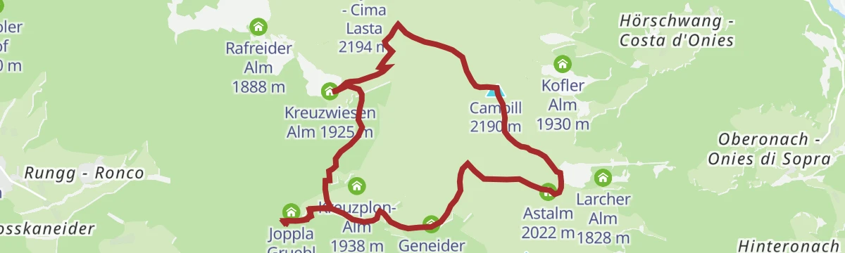
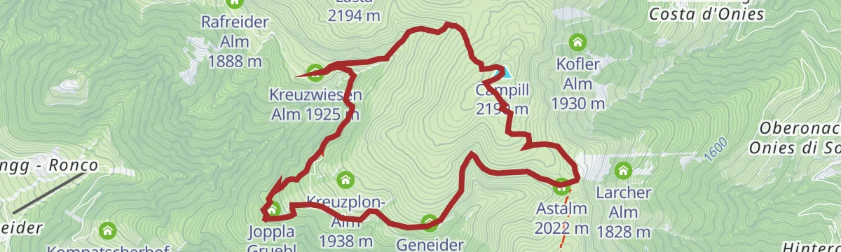
Open route KiensFrom Pe de Börz to Lüsen
A long crossing from Pe de Börz by the Maurerberg hut to the Lusner Joch and the Glittnerjoch, over the Campill top and down by the Kreuzwiesen alm.
- 20.7 km
- Distance
- 693 m
- Ascent
- 7 h 27 min
- Duration
- 103
- Check-ins
- Campill 2 190 m
- Glittner Joch 2 191 m
- Maurerberg Hütte - Rifugio Monte Muro 2 130 m
- Kreuzwiesen Alm 1 925 m
- Lé da Rina - Glittnersee - Lago di Rina 2 151 m
- Lé da Tintal 2 151 m
- +6
Open route VillnössSki tour alla Cima Lasta
A winter ski ascent from the hamlet of Elle to Cima Lasta at 2,194 m, on northern slopes and best done between December and April.
- 10.2 km
- Distance
- 630 m
- Ascent
- 622 m
- Descent
- 3 h 19 min
- Duration
- 83
- Check-ins
- Astjoch - Cima Lasta 2 194 m
- Starkenfeldhütte - Rifiugio Starkenfeld 1 939 m
- Walder Alm 1 908 m
- Einhäuserer Alm 2 117 m
- Jochlacke 2 064 m
- Ewigkeit-Schupfe 1 917 m
- +1
Open route Sterzing, Pfitsch und FreienfeldPustertal Valley Bike Route: Mühlbach - Innichen
The up-valley direction of the Puster valley cycle path, starting at Rio di Pusteria and gaining height gently as far as San Candido.
- 62.1 km
- Distance
- 340 m
- Ascent
- 5 h 59 min
- Duration
- 91
- Check-ins
- Baita 1 175 m
- Mühlbacher Torturm - Porta di Rio Pusteria 734 m
- Tourist Info Olang 1 046 m
- Mini Snack 745 m
- Treff Ried 927 m
- Touristik Information 764 m
- +10
Open route Gitschberg - JochtalWalk with strollers: Bruneck - St. Lorenzen
A flat riverside walk beside the Rienz from Brunico down to San Lorenzo di Sebato.
- 3.6 km
- Distance
- 0 m
- Ascent
- 52 min
- Duration
- 4
- Check-ins
Open route Bruneck Kronplatz TourismusHiking tour to Astjoch
A climb from Ellen to the Astjoch at 2,194 m, the high point of the Rodengo and Luson alp, marked by a large wooden cross above the Pusteria.
- 9.0 km
- Distance
- 675 m
- Ascent
- 4 h 23 min
- Duration
- 64
- Check-ins
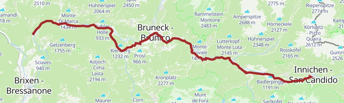
Open route Bruneck Kronplatz TourismusPustertal Valley Bike Route
The full length of the Puster valley cycle path, from the gate tower at Rio di Pusteria through Brunico and Valdaora up to San Candido.
- 60.0 km
- Distance
- 266 m
- Ascent
- 5 h 43 min
- Duration
- 90
- Check-ins
- Baita 1 175 m
- Mühlbacher Torturm - Porta di Rio Pusteria 734 m
- Tourismusverein - Ufficio informazioni turistiche 790 m
- Tourist Info Olang 1 046 m
- Mini Snack 745 m
- Treff Ried 927 m
- +5
Open route KiensArchaeological Panoramic Trail
An easy themed circuit around the Sonnenburger Kopf at San Lorenzo di Sebato, following the archaeology of the hill above the Rienza.
- 5.1 km
- Distance
- 190 m
- Ascent
- 1 h 40 min
- Duration
Open route Bruneck Kronplatz TourismusAdventure at the top: Campill
A climb through conifers and the wide Luson pastures to the rounded top of the Campill at 2,190 m, also walked in winter on snowshoes.
- 9.8 km
- Distance
- 533 m
- Ascent
- 3 h 47 min
- Duration
- 32
- Check-ins
Open route VillnössPustertal Valley bikeway
A paved valley route beside the Rienza through Brunico and on to San Candido, easily combined with the Puster valley railway.
- 62.0 km
- Distance
- 274 m
- Ascent
- 5 h 54 min
- Duration
- 90
- Check-ins
- Baita 1 175 m
- Mühlbacher Torturm - Porta di Rio Pusteria 734 m
- Tourist Info Olang 1 046 m
- Mini Snack 745 m
- Treff Ried 927 m
- Touristik Information 764 m
- +9
Open route OlangBunker Trail
A flat walk to the bunker at Saalen-Montal, built between 1939 and 1941 as one link in the Italian Alpine Wall fortifications.
- 3.0 km
- Distance
- 125 m
- Ascent
- 1 h 1 min
- Duration
Open route Bruneck Kronplatz TourismusFrom the Schwaiger Böden in Lüsen to the Jakobsstöckl chapel and Kreuzwiesenalm mountain hut
A walk from the Schwaiger Böden in Luson across broad mountain meadows to the Jakobsstöckl chapel and the Kreuzwiesen alm.
- 9.0 km
- Distance
- 518 m
- Ascent
- 3 h 38 min
- Duration
- 32
- Check-ins
Open route BrixenBike Tour around Kronplatz
A circuit of the Kronplatz linking the Gader and Puster valleys, with the climb to the Ju de Furćia at 1,789 m as the high point.
- 48.8 km
- Distance
- 1 180 m
- Ascent
- 5 h 27 min
- Duration
- 72
- Check-ins
- Furcia Center 1 741 m
- Ju de Furćia - Furkelpass - Passo Furcia 1 789 m
- Marchner Hütte 1 551 m
- Gasthof Saalerwirt 983 m
- Alpine Hotel Gran Fodá 1 750 m
- Aparthotel Pichlerhof 953 m
- +5
Open route Tourismusgenossenschaft AntholzertalWalk along the river Rienz to Bruneck
A level riverside path following the Rienza downstream from San Lorenzo di Sebato into Brunico.
- 3.8 km
- Distance
- 21 m
- Ascent
- 55 min
- Duration
Open route Bruneck Kronplatz TourismusTo the Campill summit on the Lüsen Alm
A climb across the Luson alp to the Campill, a rounded grassy summit with a cross at 2,190 m.
- 9.5 km
- Distance
- 488 m
- Ascent
- 3 h 31 min
- Duration
- 32
- Check-ins
Open route Valle Isarco - EisacktalBruneck - Brixen
A gently descending run along the Pustertal cycle route towards Brixen, passing the old town gate at Mühlbach.
- 42.0 km
- Distance
- 204 m
- Ascent
- 4 h 2 min
- Duration
- 68
- Check-ins
- Hotel Putzerhof 769 m
- Mühlbacher Torturm - Porta di Rio Pusteria 734 m
- Hotel Sonneck 782 m
- Tourismusverein - Ufficio informazioni turistiche 790 m
- Mini Snack 745 m
- Treff Ried 927 m
- +3
Open route Bruneck Kronplatz TourismusHiking tour to the Walder Alp Hut
A short, steep climb from Ellen through hay meadows to the Walder alm, an old alpine tavern looking over the basin of Brunico.
- 1.7 km
- Distance
- 349 m
- Ascent
- 1 h 17 min
- Duration
- 6
- Check-ins
Open route Bruneck Kronplatz TourismusPustertal Valley Bike Route: Bruneck - Franzenfeste
A leg of the Puster valley cycle path heading west from Brunico past Rio di Pusteria to the fortress at Fortezza.
- 34.7 km
- Distance
- 176 m
- Ascent
- 3 h 16 min
- Duration
- 52
- Check-ins
- Hotel Putzerhof 769 m
- Mühlbacher Torturm - Porta di Rio Pusteria 734 m
- Hotel Sonneck 782 m
- Mini Snack 745 m
- Touristik Information 764 m
- Informationsbüro St. Lorenzen 818 m
- +1
Open route Gitschberg - JochtalTales and stories of Mount Kienberg
A circuit from Casteldarne round the Kienberg, a wooded hill that stands out over the Puster valley, with local legends told along the way.
- 11.8 km
- Distance
- 364 m
- Ascent
- 3 h 40 min
- Duration
- 1
- Check-ins
Open route KiensPuster Valley cycle path to Mühlbach
A long valley ride from Niederrasen down through Bruneck and St. Lorenzen, finishing at the old Mühlbacher Torturm gate.
- 38.4 km
- Distance
- 97 m
- Ascent
- 3 h 36 min
- Duration
- 41
- Check-ins
- Mühlbacher Torturm - Porta di Rio Pusteria 734 m
- Mini Snack 745 m
- Treff Ried 927 m
- Touristik Information 764 m
- Informationsbüro St. Lorenzen 818 m
- Gisser Werk 776 m
- +3
Open route Tourismusgenossenschaft AntholzertalHiking Trail Haidenberg
A short climb through green slopes above San Lorenzo di Sebato to the Haidenberg mountain inn, an outing that suits families.
- 2.1 km
- Distance
- 372 m
- Ascent
- 1 h 25 min
- Duration
Open route Bruneck Kronplatz TourismusCycle line Brunico - San Vigilio
A steady climb out of the Val Pusteria by Maria Saalen and Plaiken, following the side valley up to Enneberg and the village above it.
- 16.9 km
- Distance
- 533 m
- Ascent
- 1 h 52 min
- Duration
- 37
- Check-ins
- Gasthof Saalerwirt 983 m
- Ufficio turistico 1 189 m
- La Bronta 1 227 m
- Bella Vista Hotel Emma 1 238 m
- Informationsbüro St. Lorenzen 818 m
Open route San Vigilio DolomitesBike Tour Sonnenburg and Casteldarne/Ehrenburg
A short ride out of San Lorenzo di Sebato in the Val Pusteria, climbing by way of Runggen to the crags under the Burgkofl.
- 16.5 km
- Distance
- 342 m
- Ascent
- 1 h 47 min
- Duration
- 11
- Check-ins
- Burgkofl 1 000 m
- Tourismusverein - Ufficio informazioni turistiche 790 m
- Lerchner's in Runggen 867 m
Open route Bruneck Kronplatz Tourismus
No routes of this kind in San Lorenzo di Sebato/St. Lorenzen yet.
The region's own picks

Featured route
St. Lorenzen/San Lorenzo – Maria Saalen/Maria Sares
An easy walk from San Lorenzo di Sebato up to the pilgrimage church of Maria Sares, built in the mid-17th century above the Pusteria valley.
Planning a trip to San Lorenzo di Sebato/St. Lorenzen?
Everything else Trentino-Alto Adige/Südtirol has, in one place


Take San Lorenzo di Sebato/St. Lorenzen with you into the mountains
Every route on this page with 3D terrain, GPX navigation and offline maps — including the valleys with no signal.
Data sources
- Official website: val-pusteria.net ↗
- Routes and highlights: Sterzing, Pfitsch und Freienfeld, Bruneck Kronplatz Tourismus, Alta Badia, Kiens, Villnöss, Gitschberg - Jochtal, Tourismusgenossenschaft Antholzertal, Lajen, Alta Badia Tourism Cooperative, Olang, Brixen, Valle Isarco - Eisacktal, San Vigilio Dolomites
- Published as open data by the tourist boards named above.
- Region summary generated from the board's own material.
