

 Historic site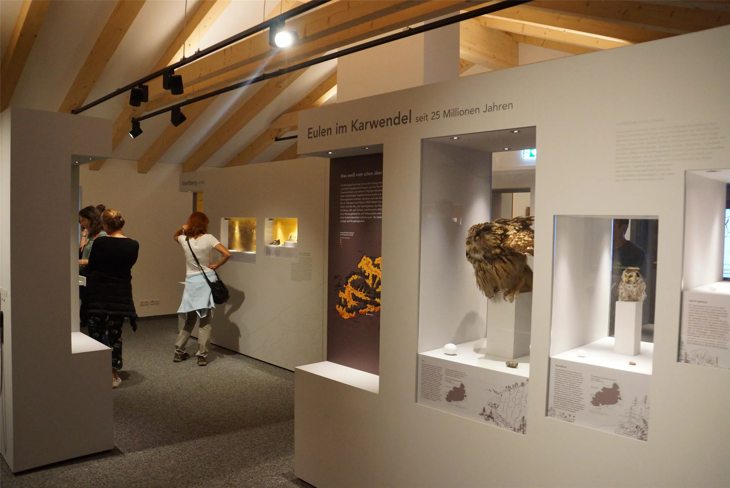



Curated by Innsbruck Tourismus
Rum
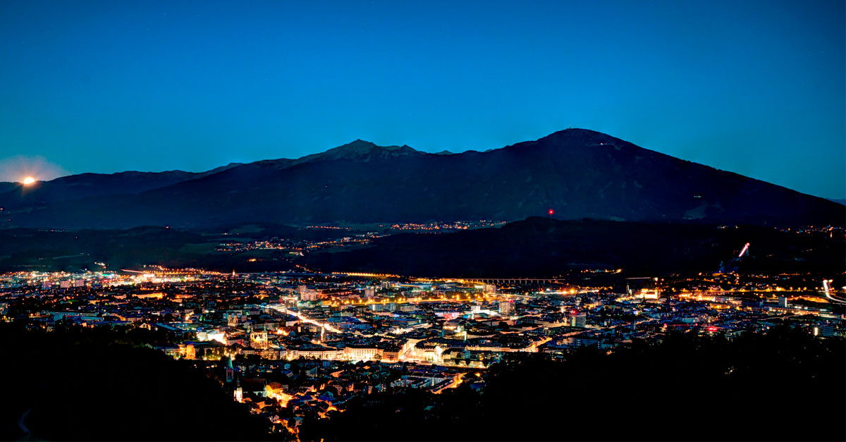
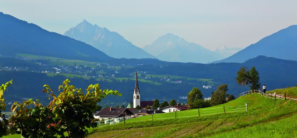
A market town wedged between Innsbruck and Hall on the south slope of the Nordkette, nearly 10,000 people at the foot of the Karwendel.
- 2Highlights
- 13Routes
- Featured summit · Hafelekarspitze
Highlights
13 from neighbouring places
Naturpark Karwendel
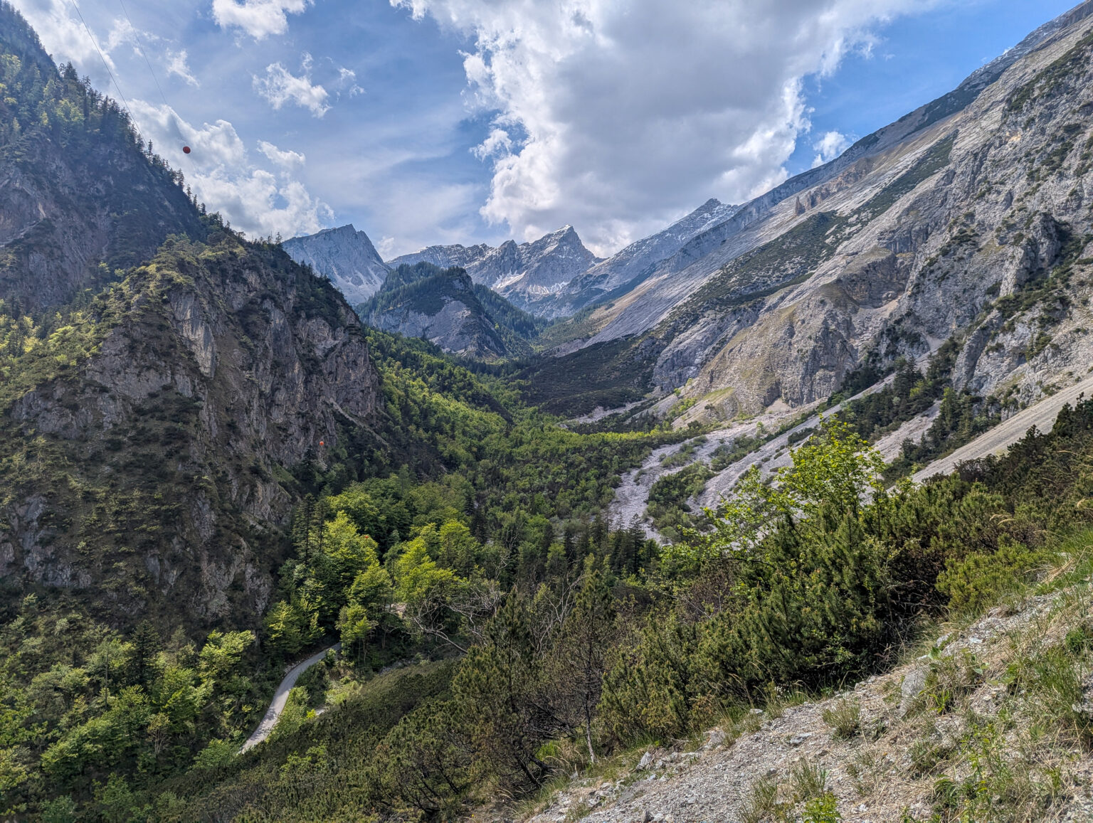
Tirol's largest nature park, covering the Karwendel range north of Innsbruck with limestone peaks, wild river valleys and old mountain forests.
Hallenbad Olympisches Dorf
An indoor pool in Innsbruck's Olympic Village quarter, serving the east of the city with public swimming through the year.
Thaurer Alm
2.8 km away, in Thaur
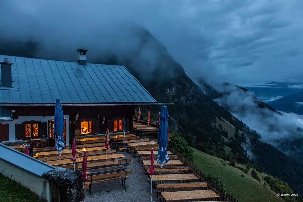
A pasture hut above Thaur at the foot of the Karwendel walls, a well-used lunch stop serving Tyrolean dishes on the way to the Thaurer Joch.
Alpenzoo Innsbruck
2.8 km away, in Innsbruck
A zoo on the slope above Innsbruck devoted to alpine wildlife, keeping ibex, wolves, bearded vultures and other species of the Alps.
Ruine Thaur
2.8 km away, in Thaur
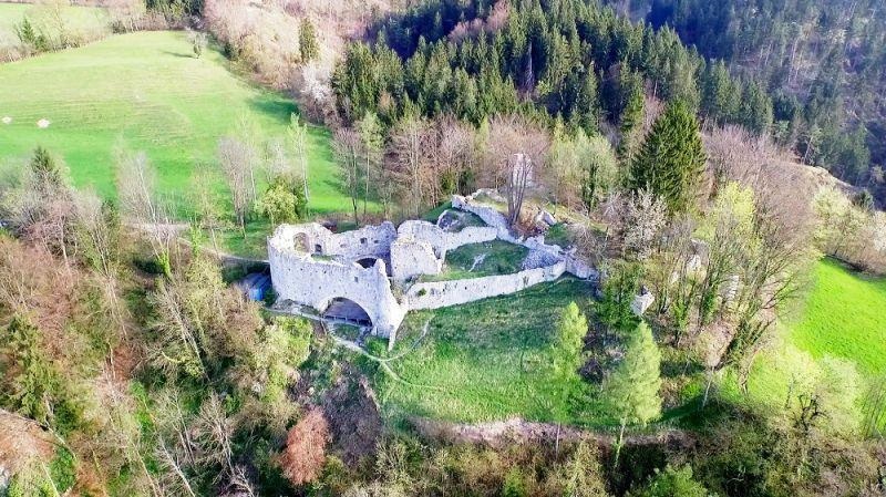
The ruin of a medieval castle on a hill above Thaur, once an administrative seat; the partly excavated walls are freely accessible on a short climb.
Alpenzoo
2.8 km away, in Innsbruck
A zoo on the slope above Innsbruck devoted to the animals of the Alps, from ibex and bearded vultures to native fish in cold-water aquaria.
rundumthaur | Schauraum und interaktiver Rundgang
2.9 km away, in Thaur
A showroom and interactive circuit in Thaur linking finds and stories from the castle ruin with the history of the village below it.
Romediwirt
2.9 km away, in Thaur
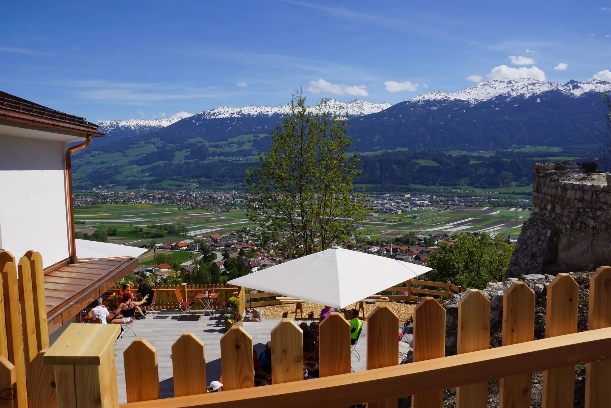
An inn on the hill at Thaur next to the Romedikirche pilgrimage church, serving Austrian cooking with a beer garden and valley views.
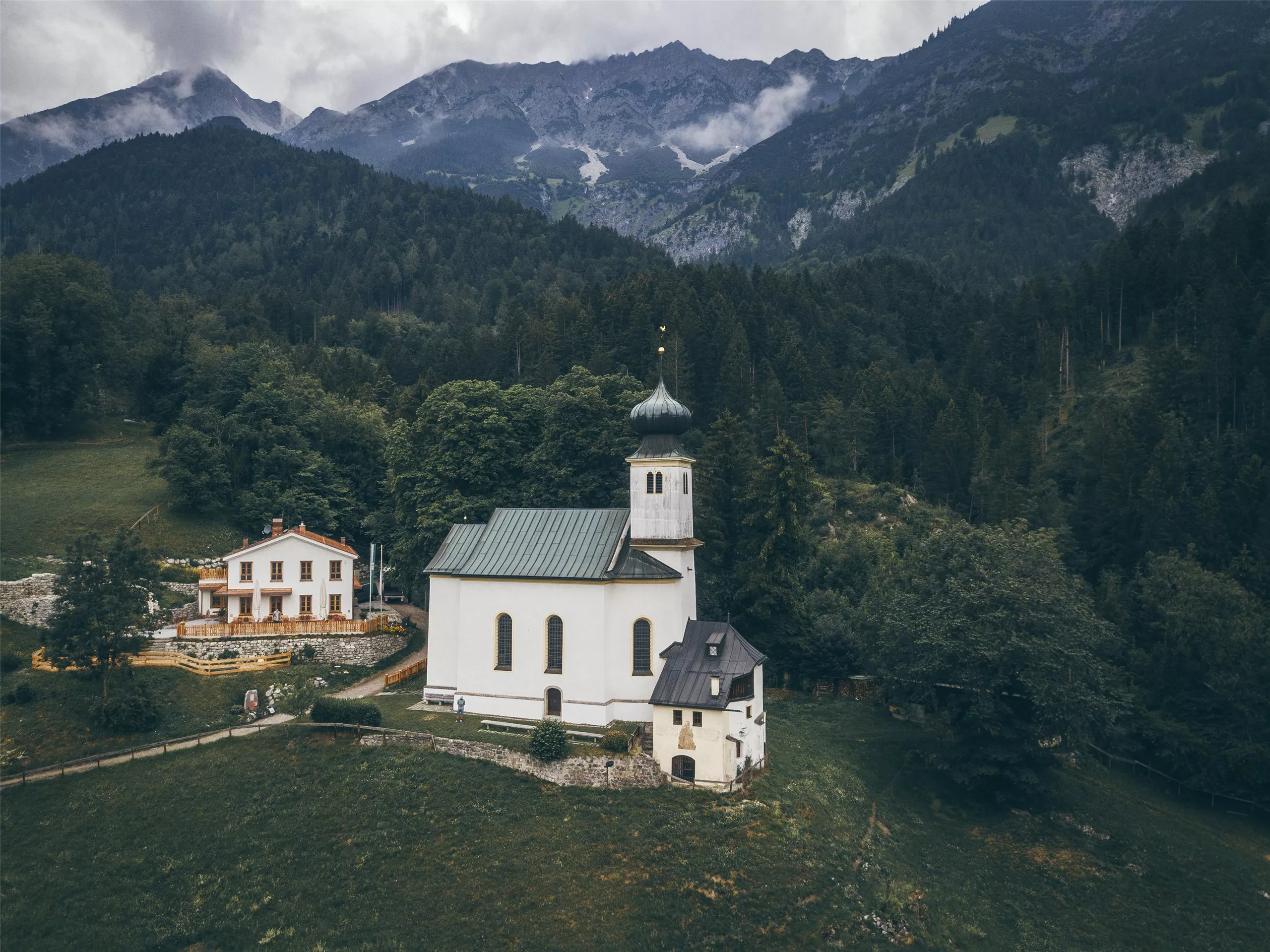
Romedikirche
2.9 km away, in Thaur
A pilgrimage church of St Romedius on a hill above Thaur, standing beside the castle ruin and reached by a short walk from the village.
BlocBox-Training
2.9 km away, in Innsbruck
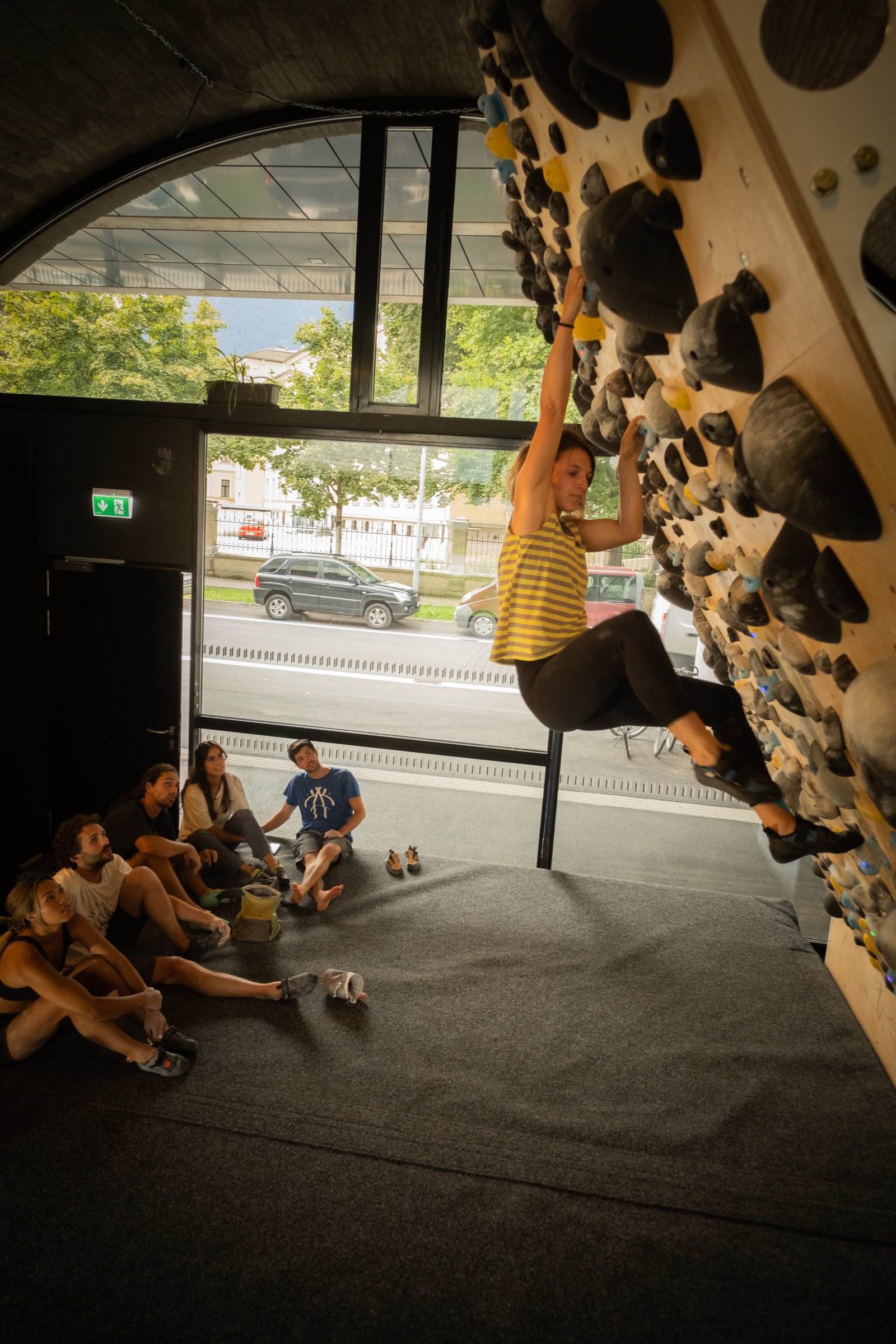
A bouldering gym in Innsbruck geared to training, with walls and boards for climbers working on strength and technique.
Familiengärtnern und Erzählcafé am Weltacker
2.9 km away, in Innsbruck
Family gardening afternoons with a storytelling café at the Weltacker in Innsbruck, an education plot showing the world's main crops.
Badesee Rossau (Baggersee) Innsbruck
3.3 km away, in Innsbruck
A former gravel pit in Innsbruck's Rossau district run as a public swimming lake, with lawns and facilities in the summer season.
Palmenhaus im Hofgarten
3.5 km away, in Innsbruck
A historic glasshouse in Innsbruck's Hofgarten run by the Austrian federal gardens, sheltering palms and other exotic plants.
Pfarrkirche St. Nikolaus
3.5 km away, in Innsbruck
The parish church of Innsbruck's St. Nikolaus quarter on the left bank of the Inn, a 19th-century neo-Gothic building.
Lumagica Innsbruck
3.6 km away, in Innsbruck
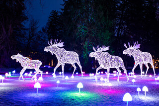
A seasonal light park in Innsbruck, where illuminated figures and installations turn a city park into an evening walking route in the winter months.
Nothing of this kind in Rum.
Routes
Rum - Bellevuesteig - Kaiserkreuz
Short walk from the Rum village square up the Bellevuesteig to the Kaiserkreuz, a quick viewpoint round above the Inntal.
- 2.5 km
- Distance
- 105 m
- Ascent
- 51 min
- Duration
Goetheweg zur Arzler Scharte und Hungerburg
Ride the Nordkettenbahn to the Hafelekar, then traverse high above Innsbruck to the Arzler Scharte and descend past the Arzler Alm to the Hungerburg.
- 9.1 km
- Distance
- 333 m
- Ascent
- 2 h 58 min
- Duration
- 129
- Check-ins
Romedius Pilgerweg mittelschwere Wanderung in Thaur, Tirol
Opening section of the pilgrim route from Thaur towards San Romedio, 23.8 km with 1,049 m of climb past the Europabrücke and the Sill reservoir.
- 23.8 km
- Distance
- 1 221 m
- Ascent
- 8 h 33 min
- Duration
- 20
- Check-ins
 Restaurant Europabrücke 914 m
 Ententeich 579 m
- Speicher Sillkraftwerk 881 m
- Speicher Sillkraftwerk 884 m
- Wasserschloss Ruetz 880 m
- Haus Inge 646 m
- +1
Rumer Alm (513)
A forest-road climb from Rum past the Noflhütte and Enzianhütte to the alm at 1,243 m on the slopes above the Inn valley.
- 9.0 km
- Distance
- 528 m
- Ascent
- 1 h 24 min
- Duration
- 1
- Check-ins
Nordkette Almenrunde
A hut-to-hut forest-road circuit on the slopes above Innsbruck, linking the Umbrüggler and Arzler pastures with the Sophien-Ruhe viewpoint.
- 19.0 km
- Distance
- 904 m
- Ascent
- 2 h 33 min
- Duration
- 50
- Check-ins
Rennrad 17 Highway to Höll - auf den Spuren der Rad WM 2018
A long ride on the roads of the 2018 world championships, out along the Inn valley and up to the Hungerburg terrace above Innsbruck.
- 110.0 km
- Distance
- 1 100 m
- Ascent
- 10 h 47 min
- Duration
- 42
- Check-ins
Arzler Alm - Rumer Alm - Enzian Hütte
Three-hut traverse along the Nordkette's wooded lower slopes from the Hungerburg, stringing together the Arzler Alm, the Rumer Alm and the Enzianhütte.
- 7.8 km
- Distance
- 500 m
- Ascent
- 3 h 25 min
- Duration
- 35
- Check-ins
Vier-Almen-Wanderung im Naturpark Karwendel
Long 17 km pasture round in the Karwendel nature park calling at four alms, among them the Thaurer Alm and the Rumer Alm, with 1,074 m of climb.
- 17.0 km
- Distance
- 1 048 m
- Ascent
- 7 h 11 min
- Duration
- 6
- Check-ins
Innsbruck - Hinterhornalm
A road climb from Innsbruck's old town up the toll road above Thaur to the Hinterhorn Alm at 1,522 m, and the same way back.
- 41.5 km
- Distance
- 1 168 m
- Ascent
- 4 h 47 min
- Duration
- 21
- Check-ins
Hungerburg - Rum
Traverse below the Nordkette from the Hungerburg to Rum, passing the Arzler Alm, the Noflhütte and the Rumer Alm on forest paths above the Inn valley.
- 8.0 km
- Distance
- 434 m
- Ascent
- 3 h 6 min
- Duration
- 27
- Check-ins
Rum - Thaurer Alm - Rumer Alm
Demanding round from Rum up to the Thaurer Alm and Rumer Alm on the Nordkette's southern slopes, with several more huts dotting the descent.
- 13.7 km
- Distance
- 1 037 m
- Ascent
- 6 h 46 min
- Duration
- 5
- Check-ins
Wendelinsteig (7,14) bis Rechenhof und Schönblick
Walk from Rum along the Wendelinsteig to the Rechenhof and the Schönblick viewpoint on the sunny low slopes above Innsbruck, passing the Noflhütte.
- 7.8 km
- Distance
- 335 m
- Ascent
- 2 h 39 min
- Duration
- 1
- Check-ins
Über die Thaurer und Vintl Alm
A 13.8 km round from Thaur over the Thaurer Alm and across to the Vintl Alm, descending by the Rumer Alm, with 1,037 m of climb.
- 13.7 km
- Distance
- 1 029 m
- Ascent
- 6 h 43 min
- Duration
- 4
- Check-ins
No routes of this kind in Rum yet.
The region's own picks

Featured route
Rum - Bellevuesteig - Kaiserkreuz
Short walk from the Rum village square up the Bellevuesteig to the Kaiserkreuz, a quick viewpoint round above the Inntal.
Planning a trip to Rum?
Everything else Tyrol has, in one place


Take Rum with you into the mountains
Every route on this page with 3D terrain, GPX navigation and offline maps — including the valleys with no signal.
Data sources
- Official website: innsbruck.info ↗
- Routes and highlights: Innsbruck Tourismus, Region Hall-Wattens, Alpbachtal Tourismus, St. Anton am Arlberg
- Published as open data by the tourist boards named above.
- Region summary generated from the board's own material.
