
Curated by 360alpenland
Roßleithen
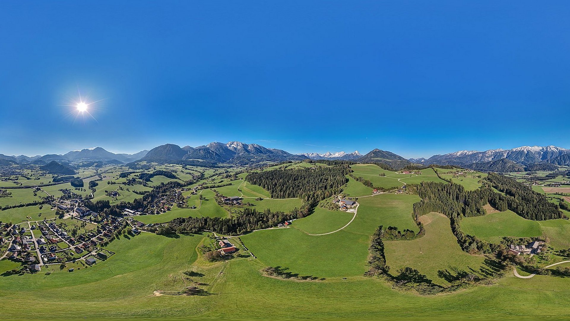
A Pyhrn-Priel village on the Teichl below the Warscheneck, whose ascent starts here, with the old Stummermühle standing by the water.
- 2Highlights
- 53Routes
Highlights
13 from neighbouring places
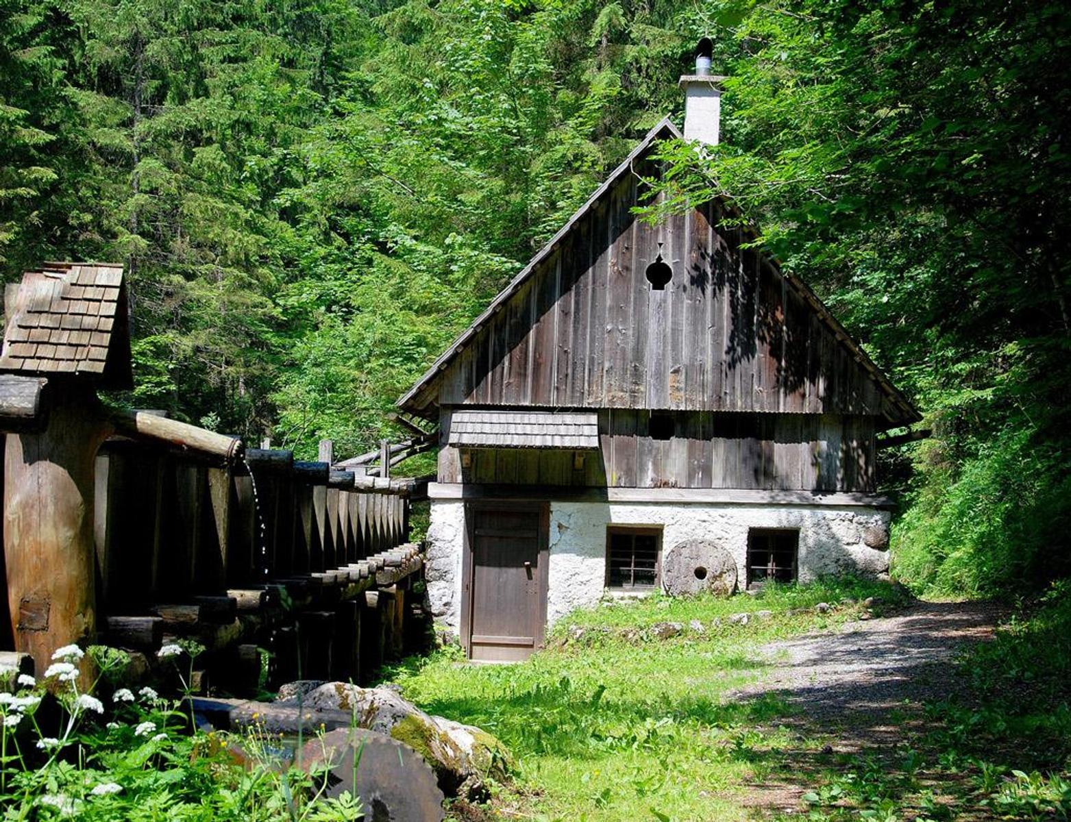
Stummermühle
A restored mill at Roßleithen above the scythe works, on the path to the Pießling spring.
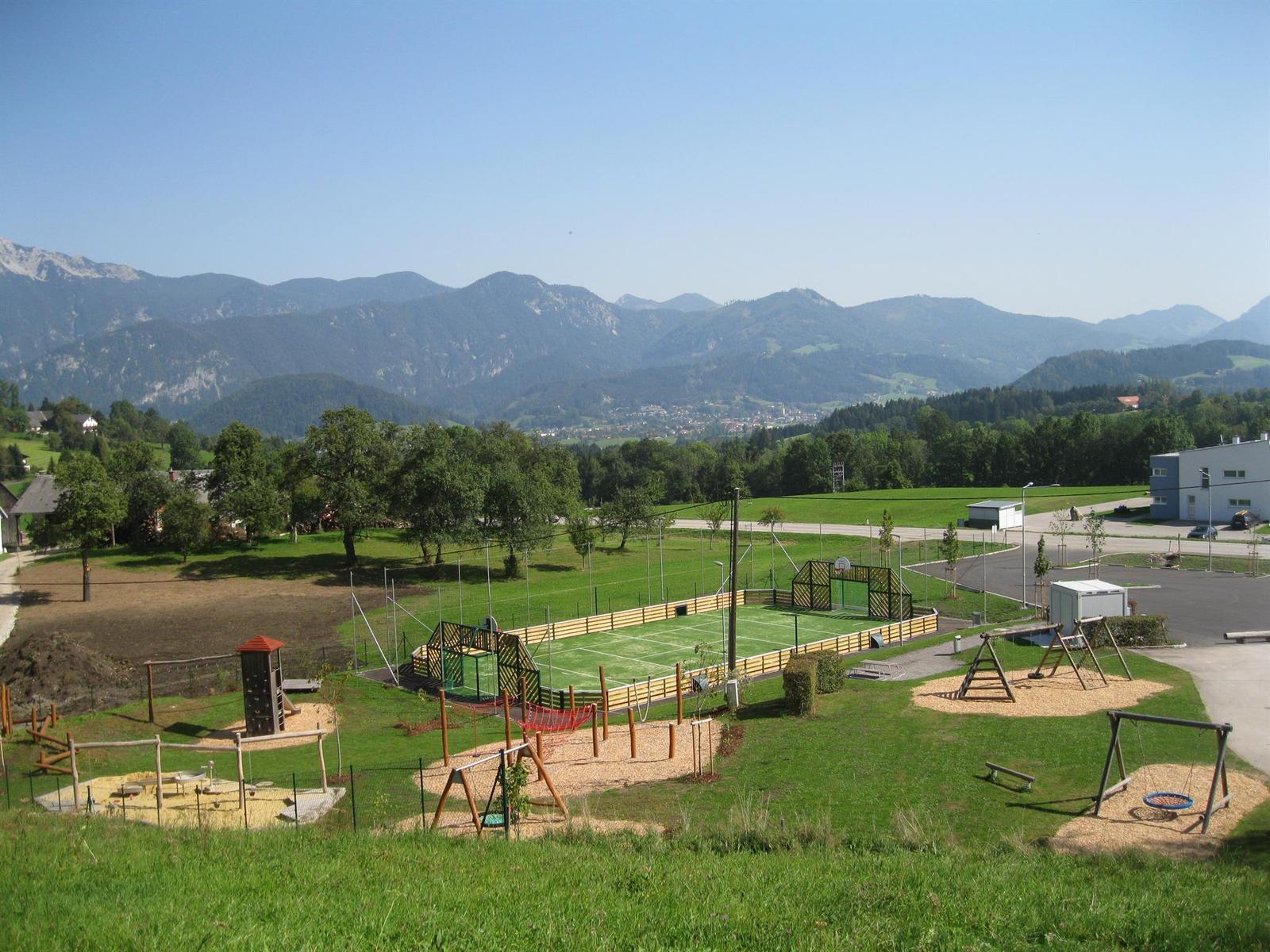
Öffentlicher Spielplatz Roßleithen
An adventure playground with a ball court at the primary school in Roßleithen.
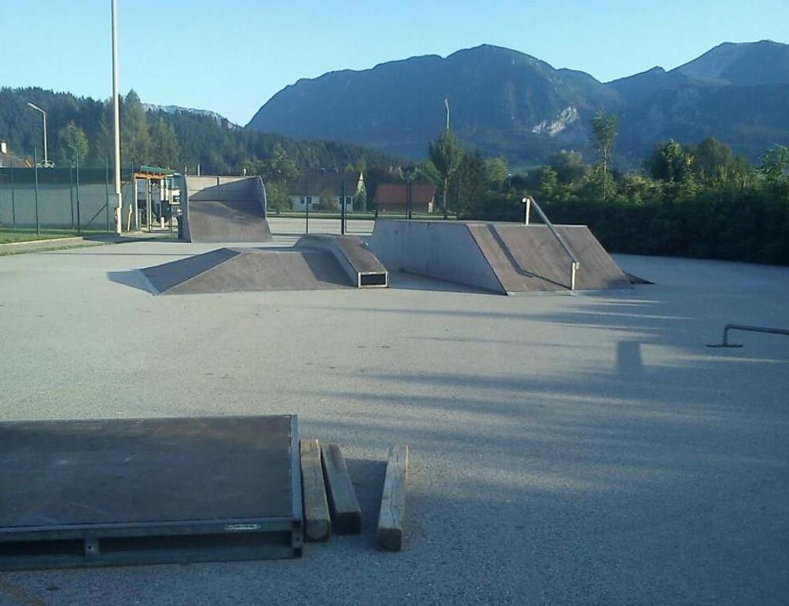
Skaterpark Windischgarsten
2.2 km away, in Windischgarsten
A skate park at Pichl on the northern edge of Windischgarsten.
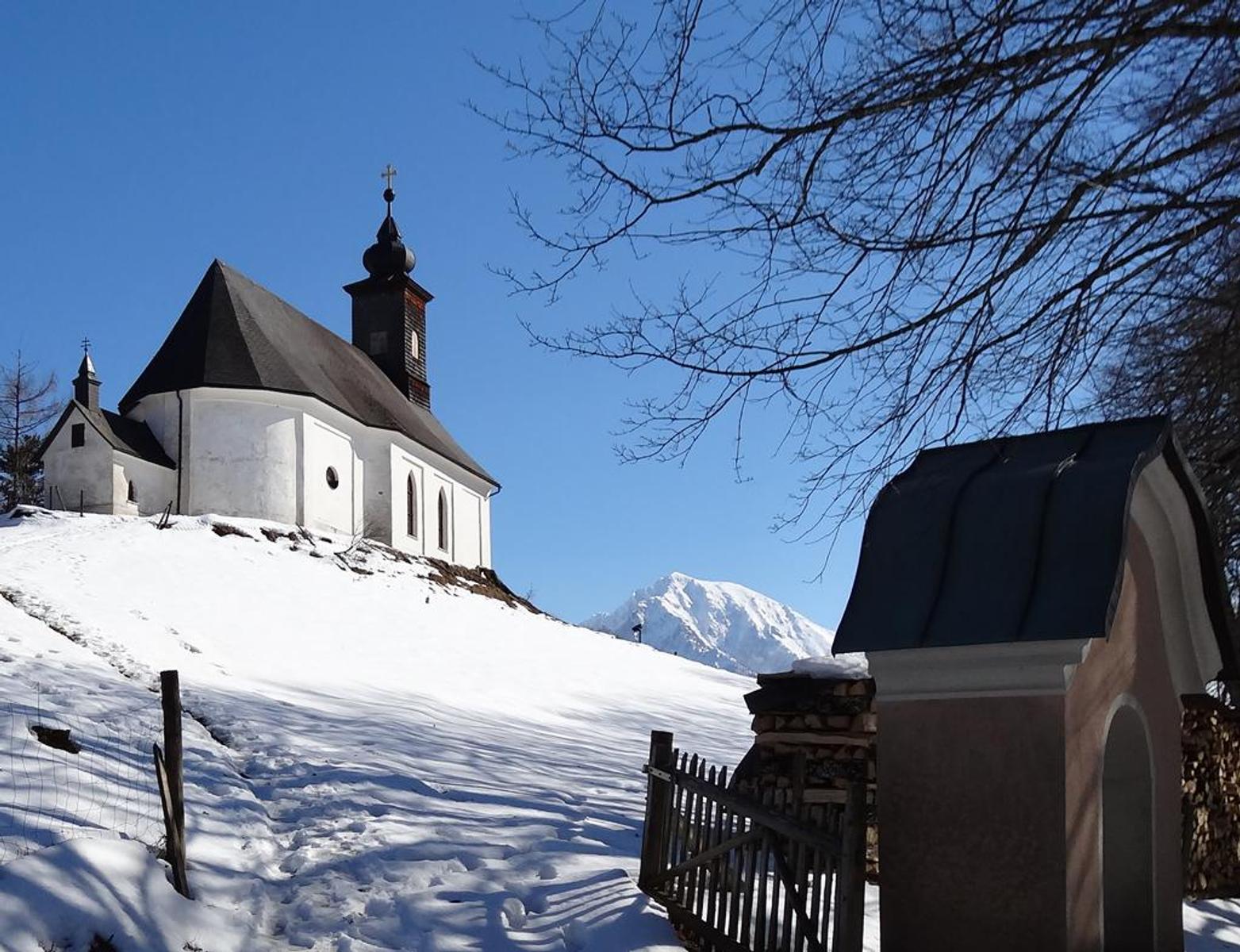
Kalvarienberg Kirche
2.3 km away, in Windischgarsten
The Calvary church above Windischgarsten, first proposed in 1778 by the provost of Spital am Pyhrn.
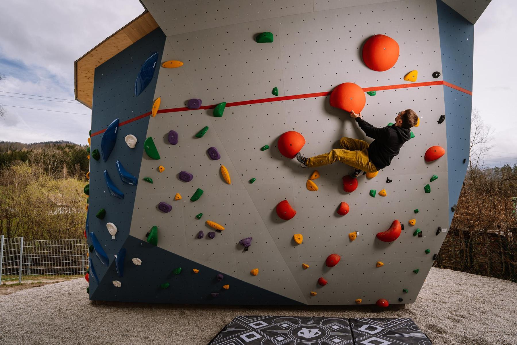
Kletterhalle des Alpenverein
2.5 km away, in Windischgarsten
The Alpine Club climbing hall in Windischgarsten, with roped walls and bouldering areas open to non-members.
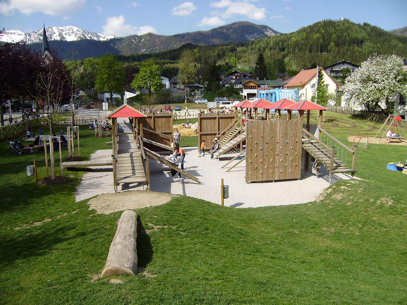
Öffentlicher Spielplatz Windischgarsten
3.2 km away, in Windischgarsten
A large playground in Windischgarsten laid out as a knights' fortress.
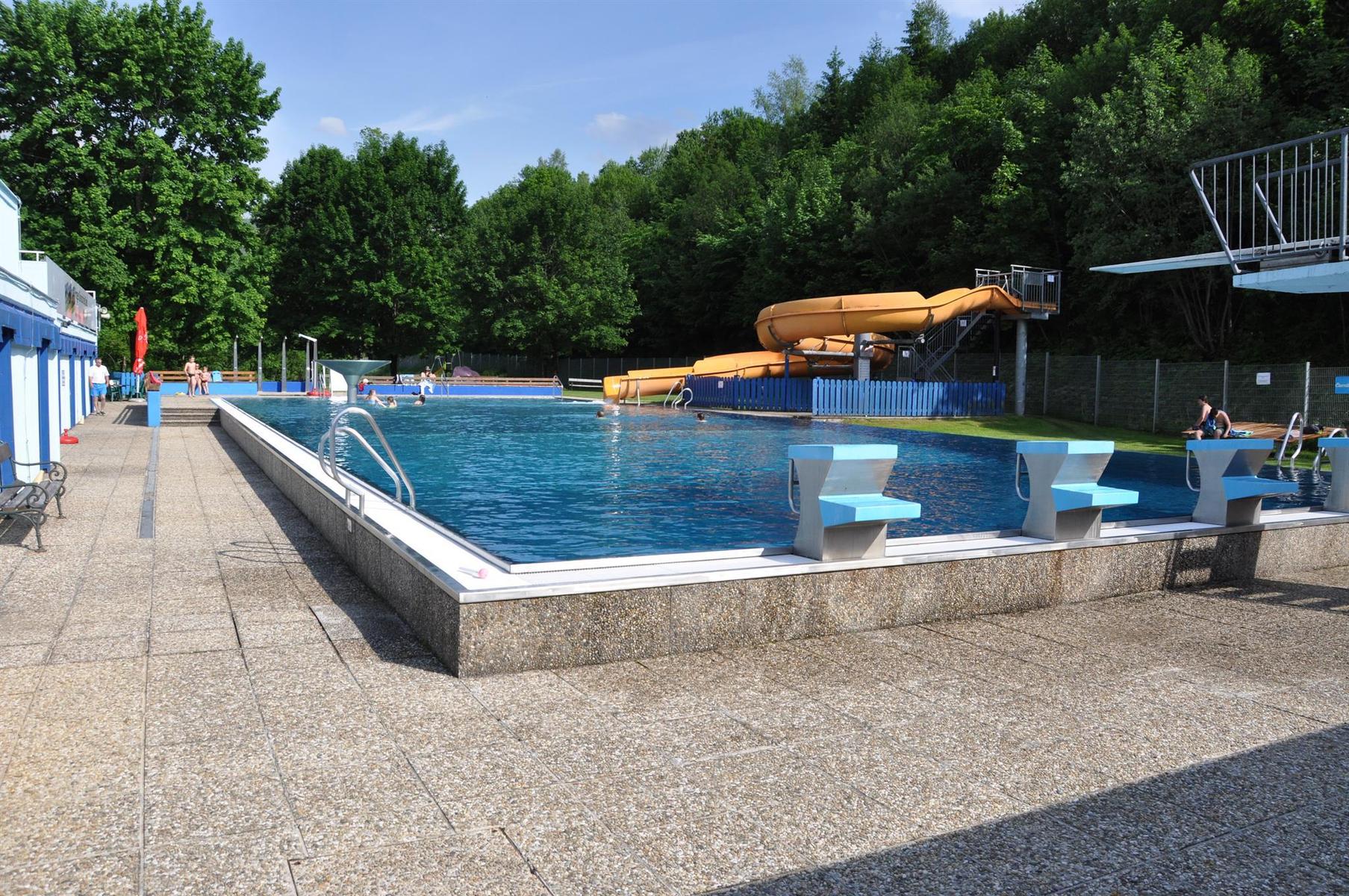
Freibad Windischgarsten
3.4 km away, in Windischgarsten
The open-air pool in Windischgarsten, with a children's slide into the shallow pool and larger water for older swimmers.
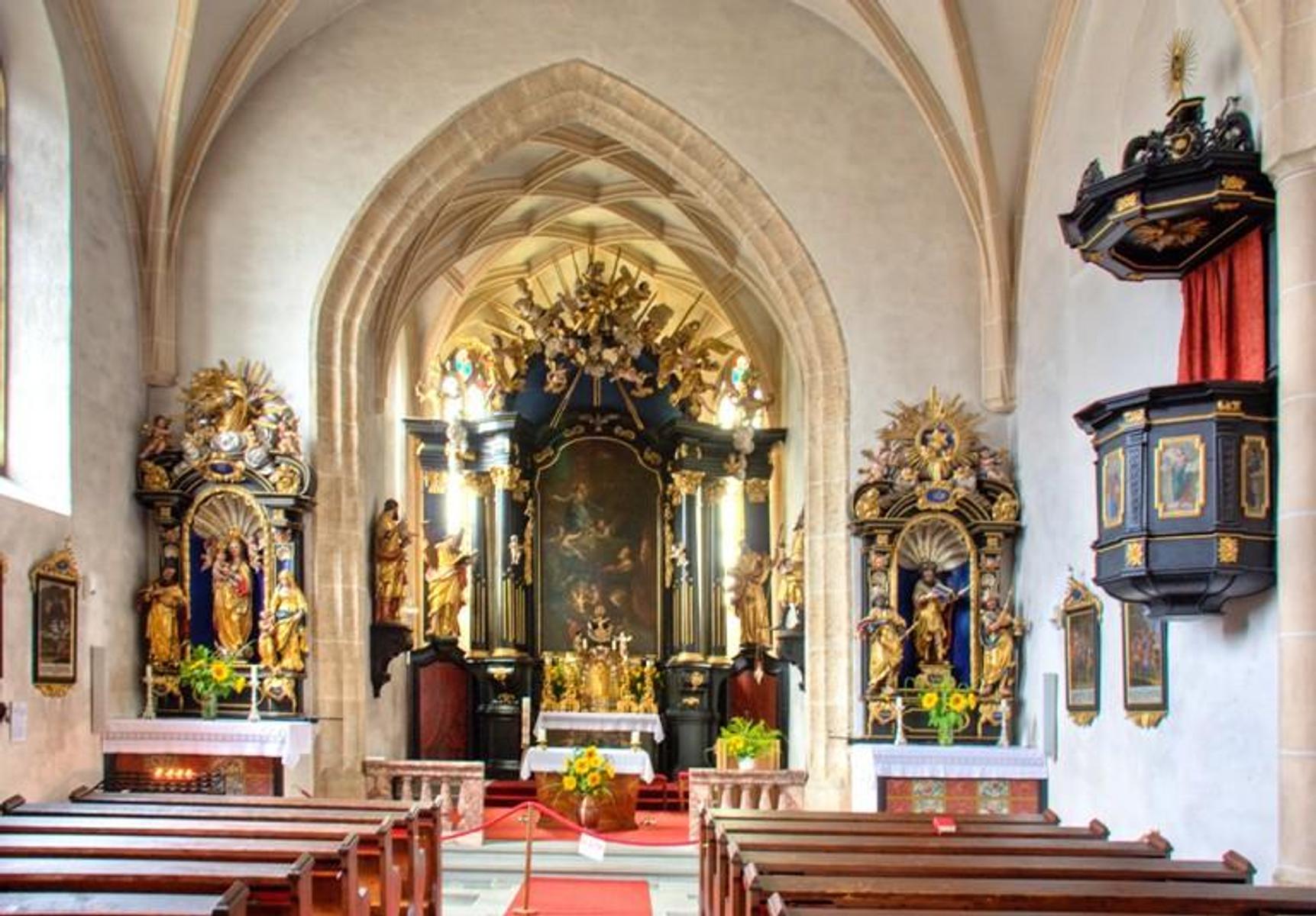
Spätgotische Pfarrkirche Vorderstoder
6.1 km away, in Vorderstoder
The late-Gothic parish church of Vorderstoder, dedicated to St. Leopold, at the centre of the village.
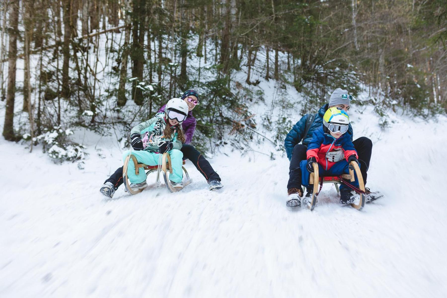
Naturrodelbahn Zottensberg
7.2 km away, in Spital am Pyhrn
A natural toboggan run at Zottensberg above Spital am Pyhrn.
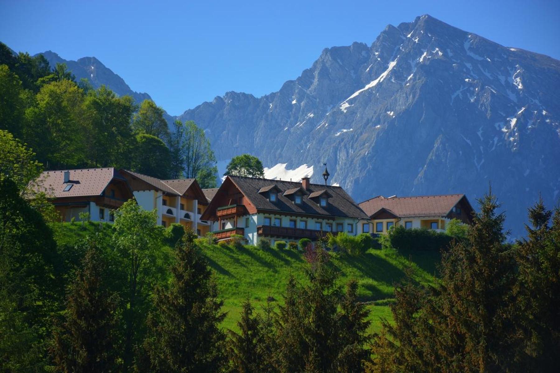
Berggasthof Zottensberg
7.2 km away, in Spital am Pyhrn
A mountain inn at Zottensberg above Spital am Pyhrn, serving home cooking and à la carte dishes.
Panorama-Hallenbad in Spital am Pyhrn
8.5 km away, in Spital am Pyhrn
An indoor pool in Spital am Pyhrn with a view of the surrounding mountains, and a lawn for the summer.
Stiftskirche "Dom am Pyhrn" Spital am Pyhrn
8.7 km away, in Spital am Pyhrn
The collegiate church of Spital am Pyhrn, known as the Dom am Pyhrn, at the centre of the village.
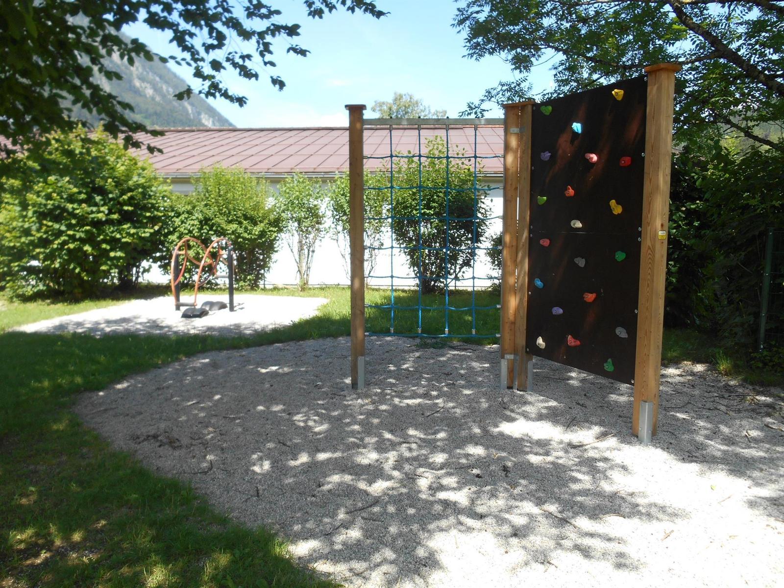
Öffentlicher Spielplatz Spital am Pyhrn
8.7 km away, in Spital am Pyhrn
A public playground by the primary school in Spital am Pyhrn.
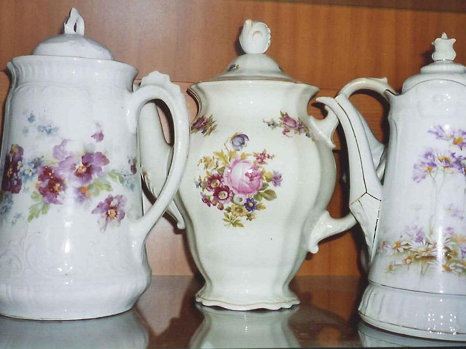
Kaffeekannen Museum
9.1 km away, in Spital am Pyhrn
A private museum in Spital am Pyhrn holding some 2,000 coffee pots collected from around the world.
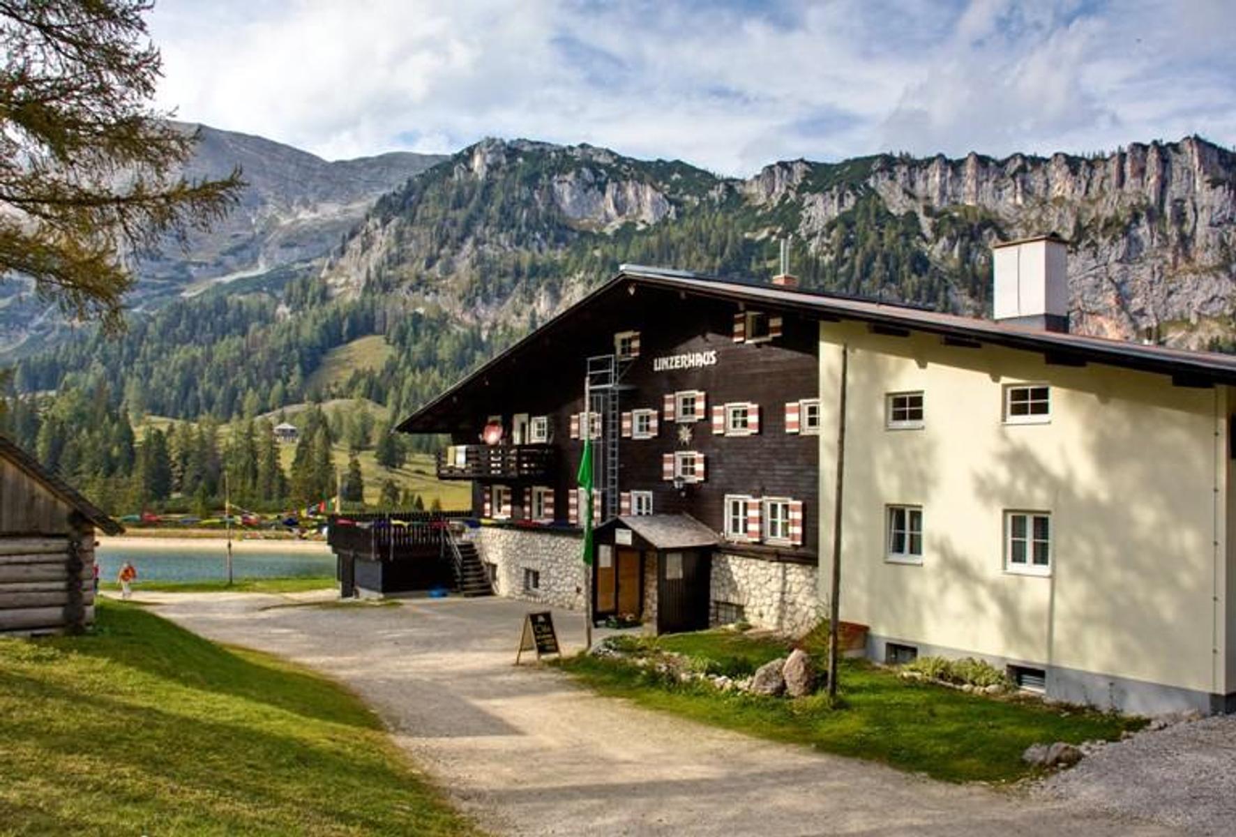
ÖAV-Berggasthaus Linzerhaus
9.9 km away, in Spital am Pyhrn
The Linzerhaus of the Austrian Alpine Club at 1,400 m on the Wurzeralm, a base for walks in the Warscheneck group.
 Mountain hut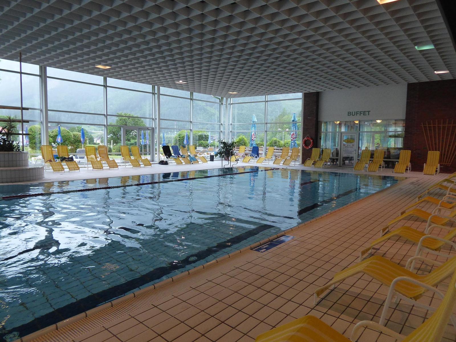
 Viewpoint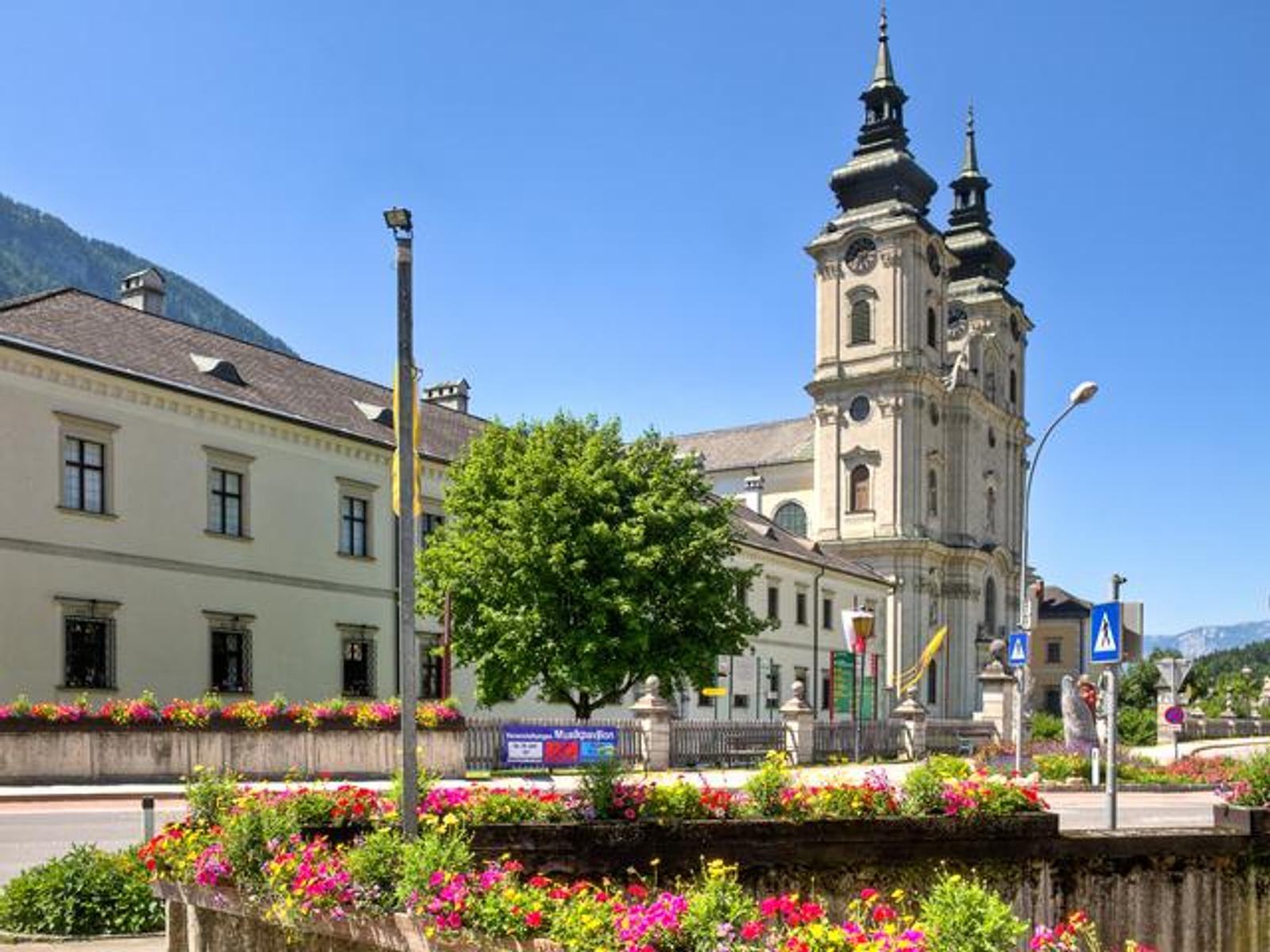
Nothing of this kind in Roßleithen.
Routes
50 routes, an even mix of activities · see the rest on 360alpenland.com ↗
Blauer Weg
The blue branch of the scythe-makers' themed trail, running over the Schweizersberg to the Stummerkogel, where a board names the surrounding peaks.
- 6.9 km
- Distance
- 213 m
- Ascent
- 2 h 9 min
- Duration
Durchs Salzatal auf den Wurbauerkogel
A round from Windischgarsten through the Salzatal to the top of the Wurbauerkogel, returning past Trojer to the start.
- 8.4 km
- Distance
- 389 m
- Ascent
- 2 h 56 min
- Duration
Bärenriedlau
A long circuit in the Nationalpark Kalkalpen leading to the old imperial hunting lodge, with a good deal of climbing on the way.
- 17.0 km
- Distance
- 1 128 m
- Ascent
- 7 h 37 min
- Duration
Skitour Mayrwipfl (Tourengebiet Sengsengebirge)
A sunny, low-risk ski tour that begins high enough to be in condition by December, with views from the Garstnertal to the Stodertal.
- 5.8 km
- Distance
- 880 m
- Ascent
- 880 m
- Descent
- 3 h
- Duration
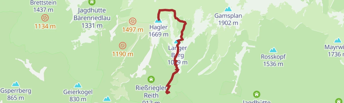
Skitour Hagler (Tourengebiet Sengsengebirge)
A ski tour in the Sengsengebirge up the Hagler, a quieter summit than its neighbours, looking out over the Garstnertal.
- 3.6 km
- Distance
- 1 040 m
- Ascent
- 1 040 m
- Descent
- 3 h 9 min
- Duration
Bike & Hike Rettenbach
A gentle ride and walk on the edge of the Kalkalpen national park, out to the abandoned farmstead of Spannriegl above Roßleithen.
- 10.4 km
- Distance
- 439 m
- Ascent
- 1 h 20 min
- Duration
Bike & Hike Bärenriedlau
An easy ride up the Rettenbachtal at Roßleithen, paired with a long walk in the Kalkalpen national park to the old imperial hunting lodge.
- 17.0 km
- Distance
- 1 128 m
- Ascent
- 2 h 53 min
- Duration
Brauner Weg
The brown branch of the scythe trail, an easy there-and-back past the Sensenwerk to the karst spring of the Pießling Ursprung.
- 2.9 km
- Distance
- 107 m
- Ascent
- 56 min
- Duration
Dümlerhütte von Roßleithen
A steep climb from the centre of Roßleithen, going by the Pießling Ursprung on the way up to the Dümlerhütte high above.
- 4.9 km
- Distance
- 817 m
- Ascent
- 3 h 7 min
- Duration
Energie Tour
A long circuit through the hills around Molln in Upper Austria, nearly thirty kilometres with only moderate climbing.
- 28.4 km
- Distance
- 552 m
- Ascent
- 8 h 12 min
- Duration
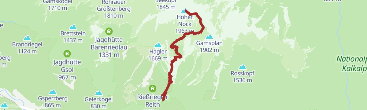
Skitour Hoher Nock (Tourengebiet Sengsengebirge)
A classic ski tour to the highest summit of the Sengsengebirge, with a wide view over the ranges around it from the top.
- 12.2 km
- Distance
- 1 350 m
- Ascent
- 1 350 m
- Descent
- 5 h 1 min
- Duration
Bike & Hike Hoher Nock
A short valley ride from Hinterer Rettenbach that serves as the approach to the highest summit of the Sengsengebirge in the Kalkalpen park.
- 5.9 km
- Distance
- 1 350 m
- Ascent
- 1 h 52 min
- Duration
Försterhaus Rettenbachtal
A gentle valley walk up the Rettenbachtal in Roßleithen to the forester's house, almost level the whole way there and back.
- 5.9 km
- Distance
- 85 m
- Ascent
- 1 h 35 min
- Duration
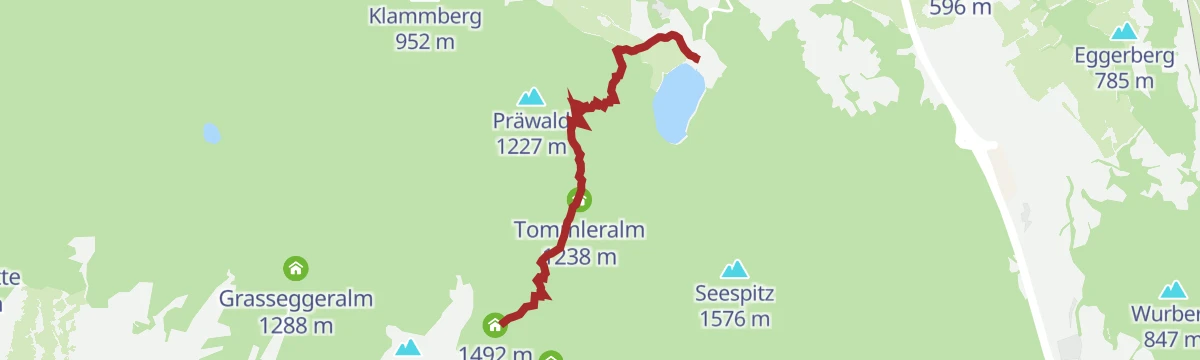
Dümlerhütte über Gleinkersee und Tommerlalm
A second approach to the Dümlerhütte from the Gleinkersee, going by the Gasthaus Tommerl and the Tommerlalm.
- 3.8 km
- Distance
- 690 m
- Ascent
- 2 h 37 min
- Duration
Hoher Nock
A long climb from the Hinteren Rettenbach to the highest point of the Sengsengebirge, with a wilder loop back past the former Koppenalm.
- 12.0 km
- Distance
- 1 400 m
- Ascent
- 8 h 23 min
- Duration
Skitour Rohrauer Größtenberg (Tourengebiet Sengsengebirge)
A safe ski tour into the heart of the Sengsengebirge, topping out on a panorama running from the Haller Mauern to the Prielgruppe.
- 18.0 km
- Distance
- 100 m
- Ascent
- 100 m
- Descent
- 4 h 31 min
- Duration
Nationalpark Kalkalpen Radweg R31
The Kalkalpen national park cycle route, with the limestone ranges in view for its whole length.
- 52.9 km
- Distance
- 310 m
- Ascent
- 4 h 59 min
- Duration
Gelber Weg
A half-hour circuit through Roßleithen on the Sensenthemenweg, with panels on scythe-making and the story of the village buildings.
- 1.6 km
- Distance
- 34 m
- Ascent
- 28 min
- Duration
Erlebnisweg "Natur-Spuren" am Wurbauerkogel
A nature-themed walking loop on the wooded hill above Roßleithen in Upper Austria, climbing steadily but never steeply.
- 8.1 km
- Distance
- 365 m
- Ascent
- 2 h 48 min
- Duration
N08
A long waymarked walking route through the hills around Roßleithen in Upper Austria, a full day out at a steady grade.
- 28.0 km
- Distance
- 938 m
- Ascent
- 8 h 44 min
- Duration
Skitour Rote Wand Dümlerhütte
A north-facing ski tour to the Rote Wand by way of the Dümlerhütte and the Stofferkar, where the snow tends to stay dry longer.
- 6.3 km
- Distance
- 1 230 m
- Ascent
- 1 230 m
- Descent
- 3 h 59 min
- Duration
Pyhrn-Priel Panorama Radtour
A very long circuit of the Pyhrn-Priel region on quiet back roads, with enough climbing to make an electric bike welcome.
- 115.5 km
- Distance
- 850 m
- Ascent
- 11 h 3 min
- Duration
Gleinkersee nach Roßleithen
An easy, nearly flat walk from the Gleinkersee down into the centre of Roßleithen, ending at the Gasthaus Sengsschmied.
- 3.1 km
- Distance
- 37 m
- Ascent
- 56 min
- Duration
Gaumenfreude mit Aussicht
A walk across the Wurzeralm to the Dümlerhütte, with a stop at the mountain dairy before the way on down to the Gleinkersee.
- 8.1 km
- Distance
- 326 m
- Ascent
- 3 h 43 min
- Duration
Warscheneck über Roßleithen
A big day from Roßleithen past the karst spring to the Dümlerhütte, on over the Rote Wand to the summit and back by the Zellerhütte.
- 19.5 km
- Distance
- 1 786 m
- Ascent
- 11 h 11 min
- Duration
Skitour Speikwiese
A long ski tour by way of the Riegler Ramitsch and the north slope, the Garstnertal and the Sengsengebirge in view from above.
- 25.1 km
- Distance
- 1 400 m
- Ascent
- 1 400 m
- Descent
- 7 h 58 min
- Duration
Rund um den Nationalpark Kalkalpen
A long tour right around the Nationalpark Kalkalpen, big enough that it is often split across two days.
- 138.4 km
- Distance
- 3 147 m
- Ascent
- 15 h 15 min
- Duration
Grüner Weg
A loop from Roßleithen past the scythe works and the Stummer Mühle to the Pießling spring and the Gleinkersee, briefly on the Benediktweg.
- 5.3 km
- Distance
- 194 m
- Ascent
- 1 h 43 min
- Duration
Giererkogel
A there-and-back walk from Windischgarsten by way of Rettenbach onto two wooded tops, the farther one the Sonnwendkogel.
- 8.1 km
- Distance
- 190 m
- Ascent
- 2 h 21 min
- Duration
Skitourenerlebnis Glöcklkar (Tourengebiet Roßleithen/Brunnstein)
A ski tour up through bright mountain forest that opens bit by bit onto the rocky slopes enclosing the lonely Glöcklkar.
- 5.3 km
- Distance
- 1 270 m
- Ascent
- 1 270 m
- Descent
- 3 h 58 min
- Duration
Steyr - Spital am Pyhrn
A valley ride from Steyr along the old Steyrtalbahn alignment, past the Klaus reservoir and over a former Pyhrnbahn bridge into the Kalkalpen.
- 72.0 km
- Distance
- 1 309 m
- Ascent
- 7 h 30 min
- Duration
Kletterfelsen Rading
A very short approach to the practice crag at Rading, a sunny, quick-drying rock used for half a day or an evening session.
- 24 m
- Distance
- 3 m
- Ascent
- 1 min
- Duration
Große Hühnersteige
A crossing on foot from Rettenbach in Rading over the steep hillside path that links Roßleithen with St. Pankraz.
- 7.9 km
- Distance
- 376 m
- Ascent
- 2 h 52 min
- Duration
Stodertal Rennradtour (RR2)
A road route from Hinterstoder out to the Baumschlagerreith and back down the Stodertal.
- 69.2 km
- Distance
- 825 m
- Ascent
- 6 h 55 min
- Duration
Pießling Ursprung
A short walk from the scythe works in Roßleithen to one of the largest karst springs in the Eastern Alps, where the Pießling surfaces.
- 2.3 km
- Distance
- 80 m
- Ascent
- 45 min
- Duration
Leitersteig
A circuit from Windischgarsten through the Salzatal to the Haslersgatterl and the Muttling, returning over the Wurbauerkogel.
- 10.4 km
- Distance
- 767 m
- Ascent
- 5 h 2 min
- Duration
Stodertalrunde (R308)
A road circuit through the quiet Stoder valleys, with steep climbs and fast descents throughout.
- 54.2 km
- Distance
- 995 m
- Ascent
- 5 h 45 min
- Duration
Pießling Ursprung von Roßleithen
A steep little climb from the village to the karst spring where the Pießling emerges, some 2,000 litres a second through the summer.
- 1.2 km
- Distance
- 181 m
- Ascent
- 43 min
- Duration
Rettenbach
An easy-going walk along the edge of the Nationalpark Kalkalpen out to the Spannriegl, a farmstead long since abandoned.
- 8.7 km
- Distance
- 358 m
- Ascent
- 2 h 56 min
- Duration
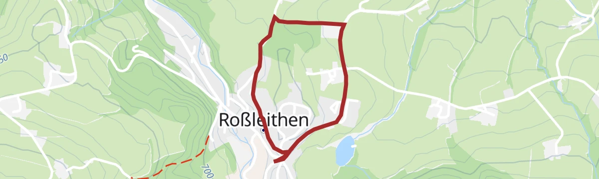
Roter Weg
A short and easy circuit around Roßleithen in Upper Austria, with only a few dozen metres of climbing in it.
- 2.6 km
- Distance
- 59 m
- Ascent
- 45 min
- Duration
Roßleithen-Vorderstoder-Roßleithen
A half-day circuit on foot from Roßleithen across to Vorderstoder and back, with a moderate climb between the two villages.
- 13.0 km
- Distance
- 471 m
- Ascent
- 4 h 12 min
- Duration
Schröckstein
A short walk down to the Rettenbach district and on over the Kleine Hühnersteig to the former railway station at Pießling.
- 2.0 km
- Distance
- 88 m
- Ascent
- 41 min
- Duration
Rundwanderweg Veichltal
A circuit from Windischgarsten through the Veichltal, running around the Sonnwendkogel and the Giererkogel before turning back.
- 8.7 km
- Distance
- 145 m
- Ascent
- 2 h 24 min
- Duration
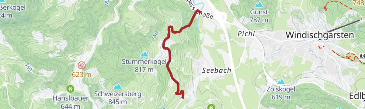
Schweizersberg
A short and easy walk through Roßleithen, dropping from the higher ground to the Teichl bridge in the district of Pichl.
- 3.0 km
- Distance
- 136 m
- Ascent
- 1 h 7 min
- Duration
Silberner Weg
A themed walk almost entirely on Vorderstoder ground, out to the quiet Windhagersee, with boards on the farmers' ties to the scythe works.
- 4.0 km
- Distance
- 391 m
- Ascent
- 1 h 41 min
- Duration
Sonnwend-Gunst
An easy, nearly level walk from Windischgarsten past the Sonnwendkogel and Gunst out to the Villa Sonnwend and back again.
- 5.0 km
- Distance
- 62 m
- Ascent
- 1 h 19 min
- Duration
St. Pankraz
A steady point-to-point walk through the Teichltal and the upper Redtenbachtal, finishing at Windischgarsten in Upper Austria.
- 13.5 km
- Distance
- 443 m
- Ascent
- 4 h 12 min
- Duration
Stummerkogel
A short, almost level walk in Roßleithen, running across to Kaixen near Enghagen with hardly any climbing at all.
- 1.6 km
- Distance
- 20 m
- Ascent
- 37 min
- Duration
Violetter Weg
A longer themed loop that dips into Spital am Pyhrn to the Seebachhof, then crosses the Schweizersberg to Pießling and home to Roßleithen.
- 13.0 km
- Distance
- 373 m
- Ascent
- 3 h 57 min
- Duration
Windischgarsten
An easy walk from the middle of the village out to Rading and the former railway station at Pießling, with very little height gained.
- 6.9 km
- Distance
- 145 m
- Ascent
- 1 h 59 min
- Duration
















No routes of this kind in Roßleithen yet.
Planning a trip to Roßleithen?
Everything else Upper Austria has, in one place


Take Roßleithen with you into the mountains
Every route on this page with 3D terrain, GPX navigation and offline maps — including the valleys with no signal.
Data sources
- Official website: 360alpenland.com ↗
- Routes and highlights: 360alpenland
- Published as open data by the tourist boards named above.
- Region summary generated from the board's own material.
