
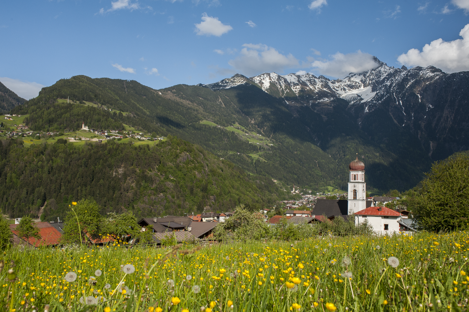
 Viewpoint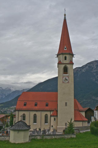











- 4Highlights
- 34Routes
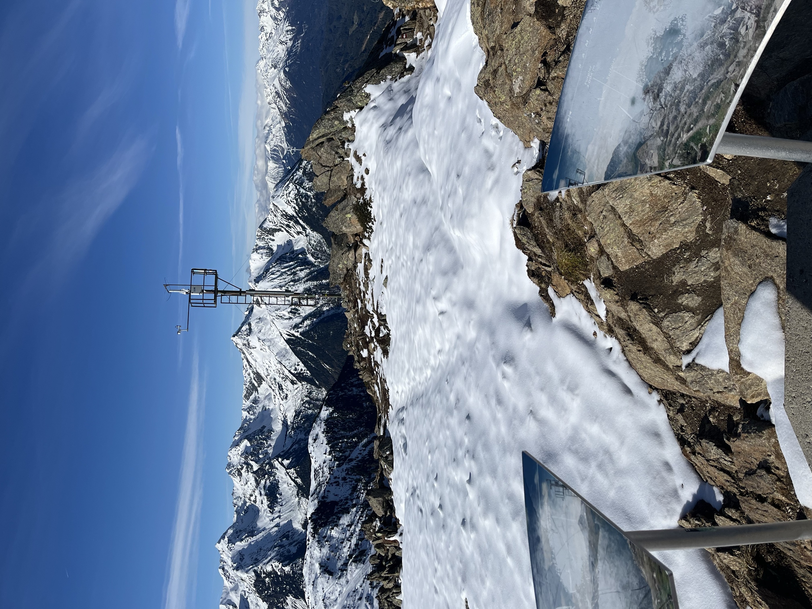
- Featured summit · Niederjöchl
Highlights
11 from neighbouring places
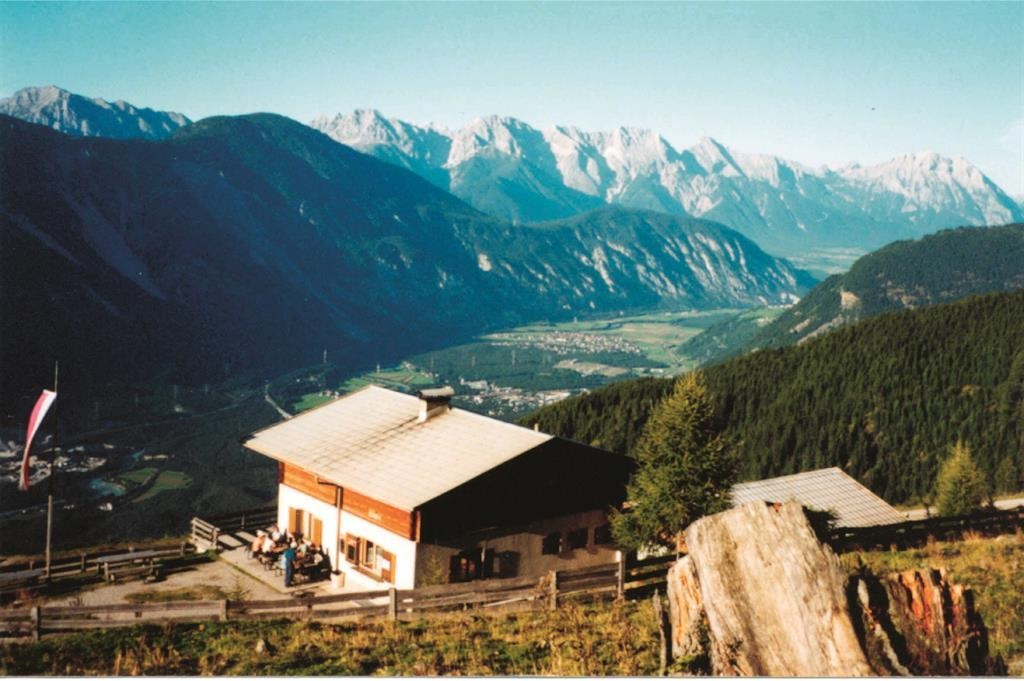
Hintere Wennerberg Alm (1.956 m)
The upper of the two Wennerberg pastures, at 1,956 m on the eastern flank of the valley.
Vordere Wennerberg Alm (1.590 m)
The lower of the two Wennerberg pastures, at 1,590 m above Arzl.
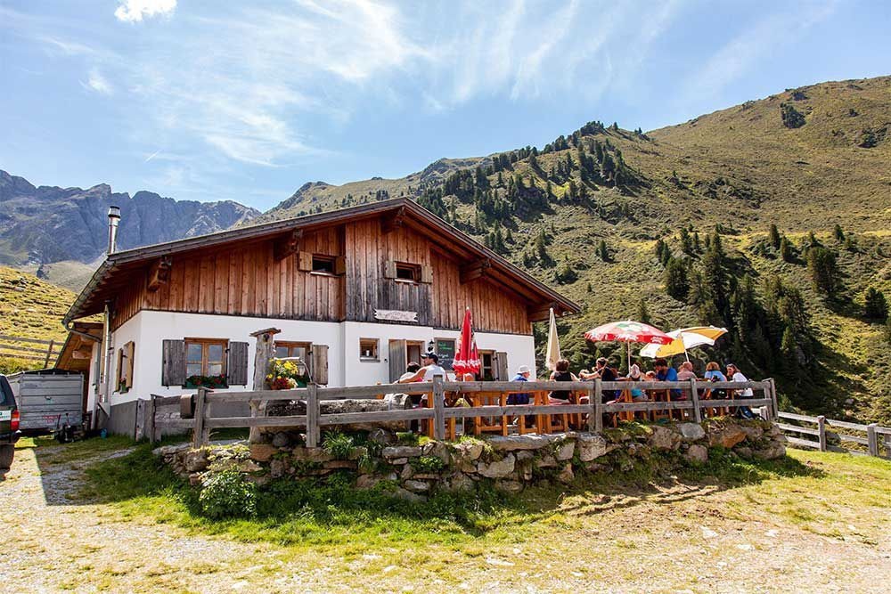
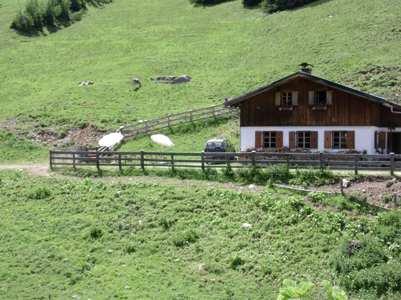
Maisalm
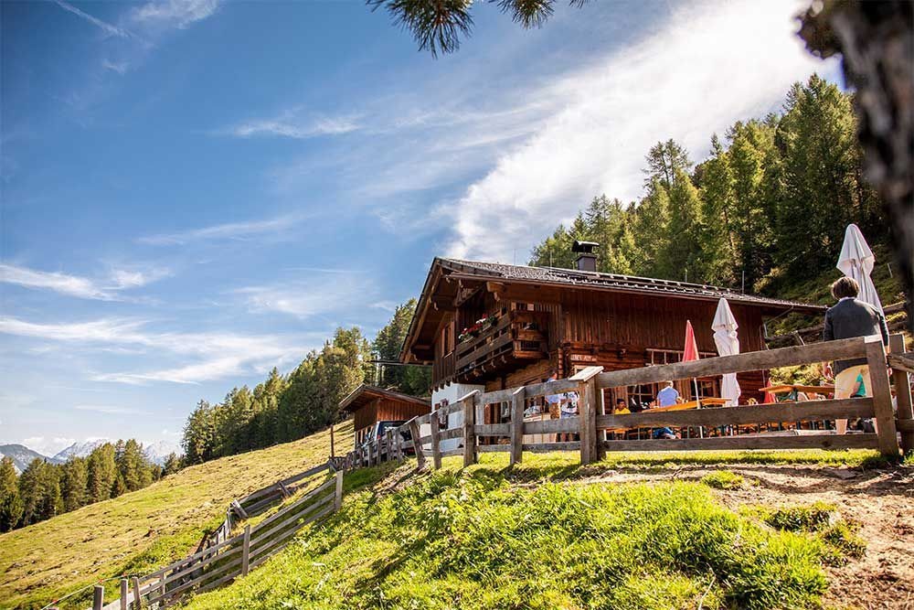
A small alpine pasture hut in the mountains of the Imst region in Tirol, offering simple refreshment to walkers in summer.
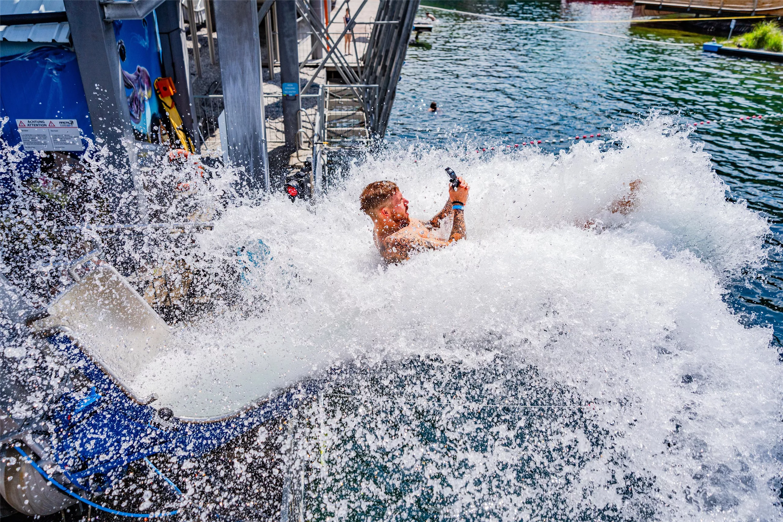
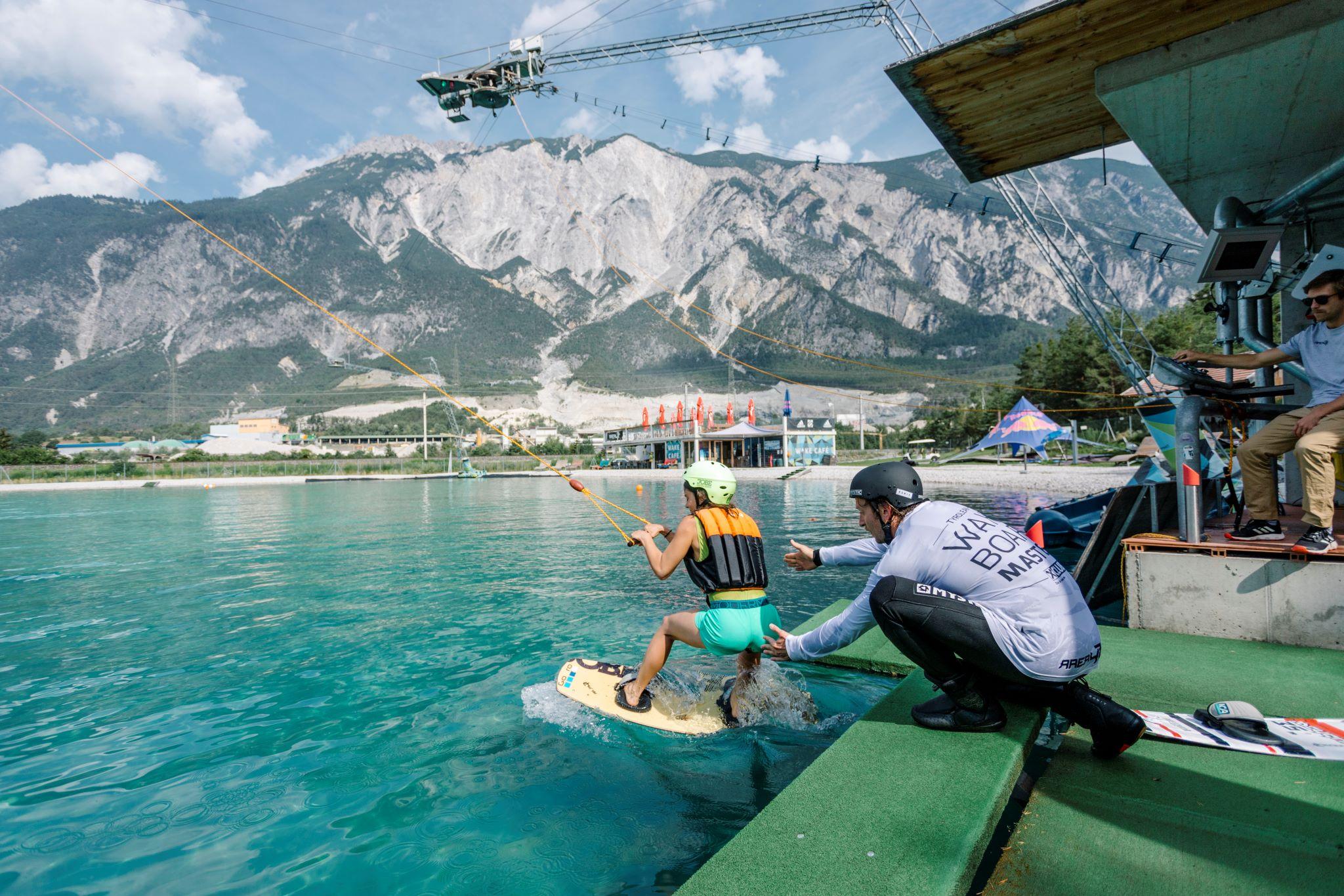
AREA 47 - Wake AREA
A 420 m cable wakeboard tow on a five-mast system, with a set of shaped obstacles, at the AREA 47 site.
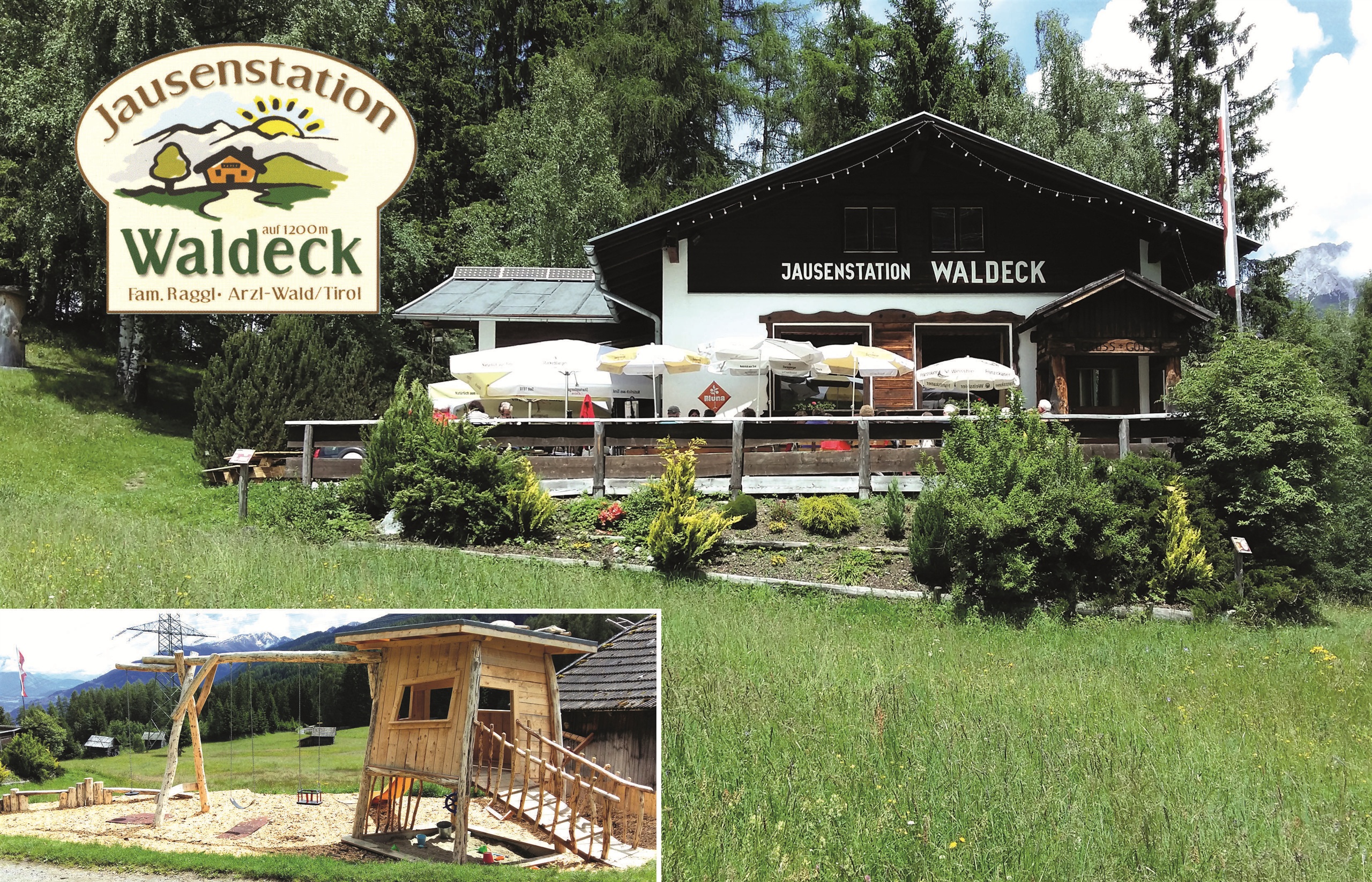
Jausenstation Waldeck (1.200 m)
2.7 km away, in Arzl im Pitztal
A snack station at 1,200 m on the wooded slope above Arzl.
Drei Kirchen-Blick
3.2 km away, in Sautens
A platform on a themed forest walk from the school at Sautens, looking across to the churches of Sautens, Oetz and Ötzerau.
Expositurkirche zum Hl. Thomas in Arzl Wald
3.3 km away, in Arzl im Pitztal
The church of St Thomas serving the Wald hamlet above Arzl.
Rammelstein
3.6 km away, in Sautens
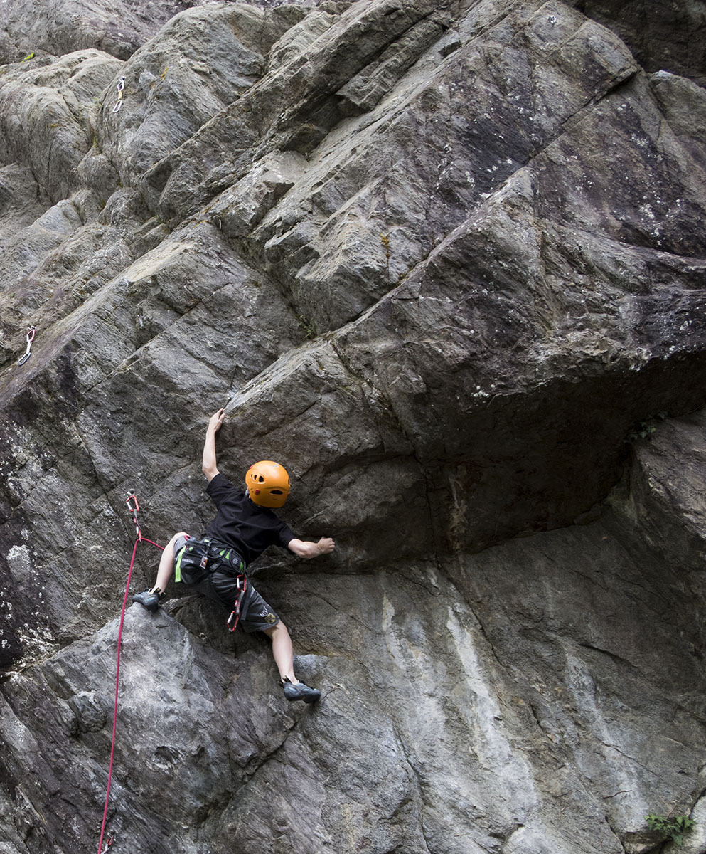
A shaded crag at 761 m above Sautens, decades old, renovated in 2007 and extended with the Jonathan sector in 2012.
Leiner Alm (1.823 m)
3.6 km away, in Arzl im Pitztal
An alpine pasture at 1,823 m above Leins on the eastern slope.
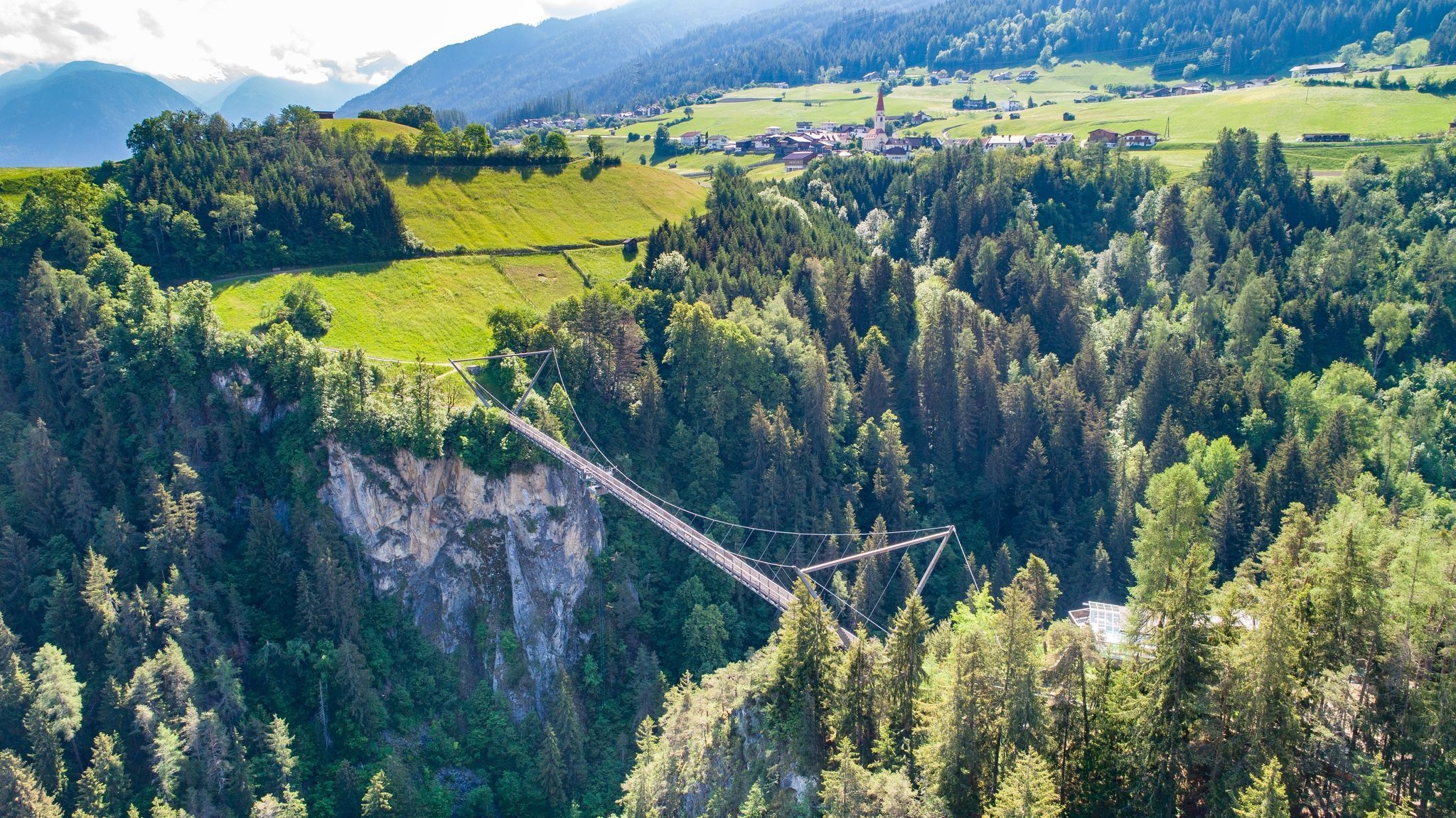
Benni-Raich Brücke
3.8 km away, in Arzl im Pitztal
A footbridge of 1995 spanning 137.7 m at a height of 94 m over the Pitze gorge, used for bungee jumping since 1997.
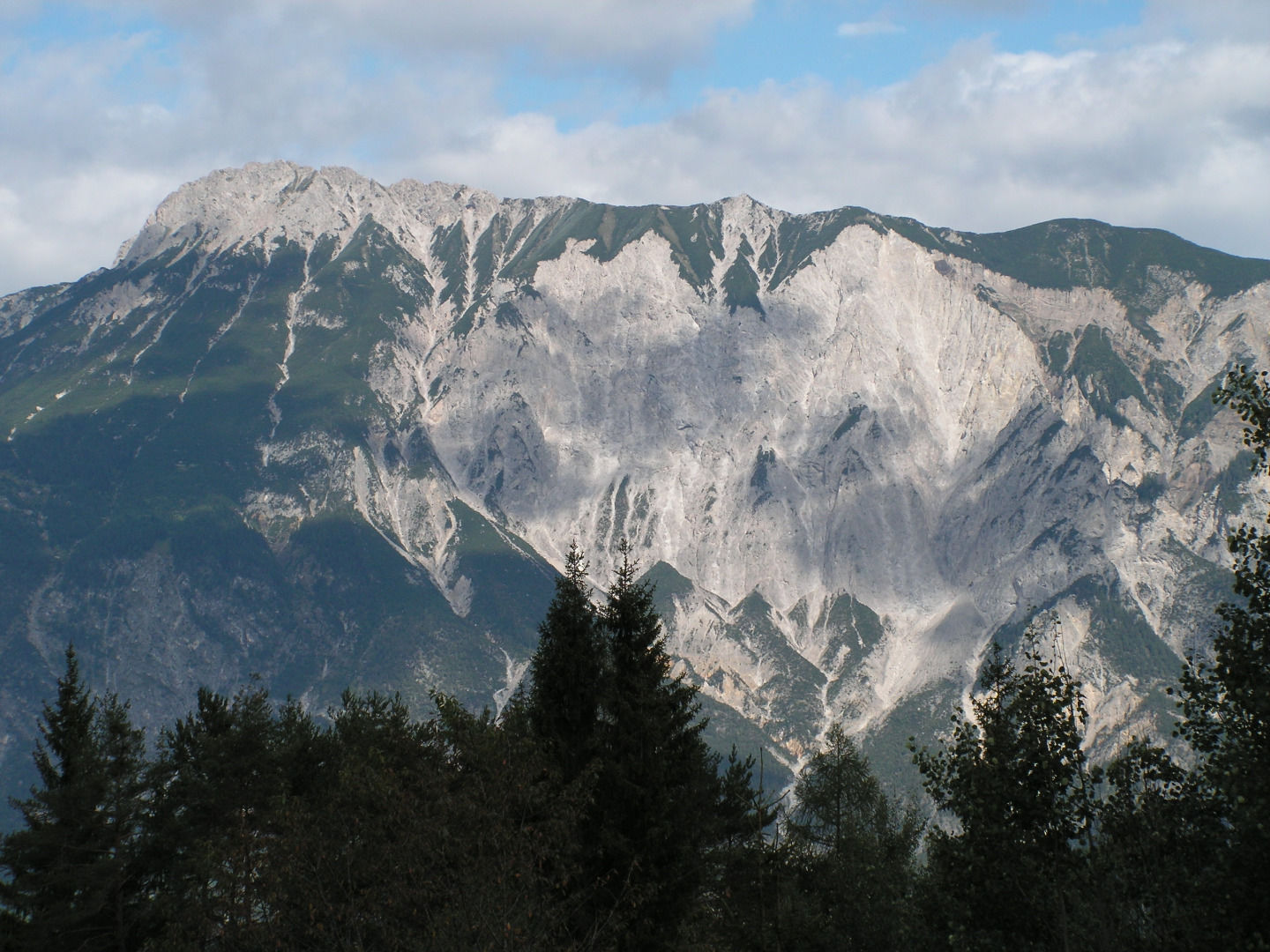
Tschirgant Bergsturz
3.8 km away, in Sautens
The Tschirgant rockslide buried the lower Ötztal some 3,000 to 3,500 years ago; the ground it left has been shaped by people ever since.
Freischwimmbad Sautens
4.1 km away, in Sautens
An open-air pool at Sautens with a children's basin, a large lawn, a buffet restaurant and two clay tennis courts.
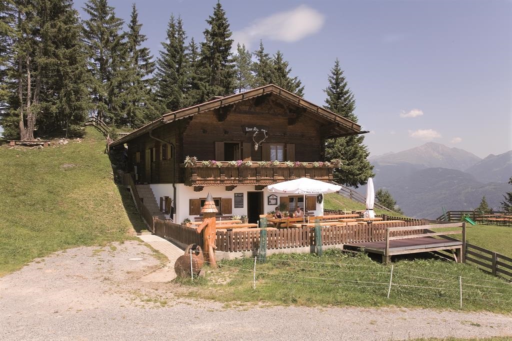
Karrer Alm
4.1 km away, in Karres
A managed pasture hut in the mountains above Karres in the Imst region, a simple refreshment stop on walks along the Inn valley's sunny side.
AREA47
4.2 km away, in Haiming
An outdoor sports park at the mouth of the Ötztal near Ötztal-Bahnhof, combining a water area, climbing, canyoning and other adventure offers.
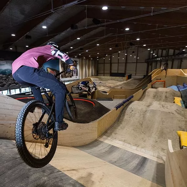
AREA47 - Indoor Bikepark
4.2 km away, in Haiming
An indoor bike park at AREA47 near Ötztal-Bahnhof, with ramps and lines for riding practice in any weather and any season.
Nothing of this kind in Roppen.
Routes
Dorfrunde Roppen „Römerbad“
Level 4 km walk around the village of Roppen, passing the spot known as the Römerbad.
- 4.0 km
- Distance
- 46 m
- Ascent
- 1 h 3 min
- Duration
Bergstation Doppelsesselbahn - Wennerberg - Talstation
A 13.5 km descent from the chairlift top station over the Niederjöchl and Wennerberg, passing the Kaitanger reservoir and the Hintere Wenner Alm.
- 13.5 km
- Distance
- 337 m
- Ascent
- 4 h 57 min
- Duration
- 23
- Check-ins
 Niederjöchl 2 369 m
 Hennenstall 1 463 m
- Liss Schirmbar 1 460 m
- Egger Lounge 1 457 m
 Speicherteich Kaitanger 1 435 m
- Leiner Alm Hütte 1 823 m
- +2
Jakobsweg
Stage 11 of the Way of St James through Tirol, 27.6 km from Roppen down the Inn valley to Zams, passing the Gasthof Kronburg.
- 27.6 km
- Distance
- 975 m
- Ascent
- 8 h 49 min
- Duration
- 7
- Check-ins
Tour zum Rettenbachferner
A very long climb from the Ötztal up towards the Rettenbachferner above Sölden, topping out at the Restaurant Rettenbach at 2,666 m.
- 62.5 km
- Distance
- 2 326 m
- Ascent
- 7 h 5 min
- Duration
- 129
- Check-ins
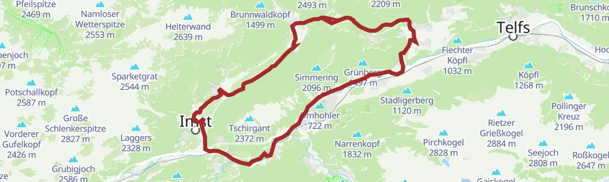
Tschirgantrunde
A road circuit around the massif between the Inn and Ötz valleys, climbing to Gasthaus Arzkasten before the run back down the river.
- 54.3 km
- Distance
- 986 m
- Ascent
- 5 h 45 min
- Duration
- 14
- Check-ins
Geolehrpfad Forchet
Geology trail of 6 km through the Forchet woods on the Tschirgant landslide, where boulders from the collapse still litter the forest floor.
- 6.0 km
- Distance
- 71 m
- Ascent
- 1 h 35 min
- Duration
Wennerbergtour
A 12.6 km tour of the Wennerberg calling at both the Vordere and Hintere Wenner Alm, 778 m of ascent.
- 12.6 km
- Distance
- 753 m
- Ascent
- 5 h 13 min
- Duration
Maisalm
Steady forest climb from the church in Sautens past the Dreikirchenblick, winding up in long bends to the unstaffed Reichenbachalm and on to the Maisalm.
- 9.3 km
- Distance
- 975 m
- Ascent
- 4 h 20 min
- Duration
- 2
- Check-ins
Gravelbike Tour - Ötztal Plus
A long gravel ride through the lower Ötztal, passing the Habicher See and the Waldcafe Stuböbele high on the valley side.
- 63.2 km
- Distance
- 889 m
- Ascent
- 6 h 27 min
- Duration
- 22
- Check-ins
Mieminger Plateau Runde
A near-100 km road round out of the Inn valley, climbing to the terrace villages above Mieming and past Gasthaus Arzkasten.
- 97.1 km
- Distance
- 1 138 m
- Ascent
- 9 h 41 min
- Duration
- 12
- Check-ins
Höhenweg Roppen
Easy hillside path above Roppen, 5.1 km with under 200 m of climb and open views across the Inn valley.
- 5.1 km
- Distance
- 195 m
- Ascent
- 1 h 40 min
- Duration
Maisalm / Mutkopf
Nearly 1,500 m of ascent from Roppen by way of the Maisalm and the Muthütte to the Mutkopf, a full day on the hill.
- 8.8 km
- Distance
- 1 443 m
- Ascent
- 5 h 34 min
- Duration
- 2
- Check-ins
Gravelrunde Tschirgantmassiv
A gravel circuit right around the Tschirgant massif, passing the Rafting Alm on the Inn and the mouth of the Pitztal.
- 56.0 km
- Distance
- 691 m
- Ascent
- 5 h 37 min
- Duration
- 20
- Check-ins
5 Orte Runde
A family round of 32.8 km through five villages of the lower Ötztal, almost level with 488 m of climbing.
- 28.2 km
- Distance
- 281 m
- Ascent
- 2 h 46 min
- Duration
Open route Tirol WerbungKarres - Roppen
An easy 5.6 km valley walk from Karres to Roppen, with barely 100 m of climbing.
- 5.6 km
- Distance
- 43 m
- Ascent
- 1 h 32 min
- Duration
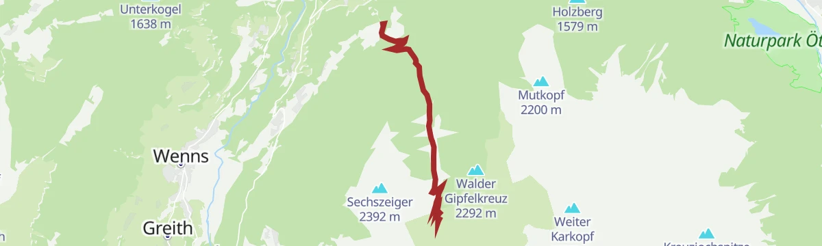
Walder Gipfelkreuz
A demanding 15.6 km climb above Arzl by way of the Vordere and Hintere Wenner Alm to the summit cross, 1,086 m of ascent in all.
- 15.6 km
- Distance
- 1 072 m
- Ascent
- 7 h 11 min
- Duration
Tschirgantrunde
A circuit of the Tschirgant on valley tracks, passing the Weiße Haus, Camping Rossbach and the turn-off into the Pitztal.
- 56.0 km
- Distance
- 691 m
- Ascent
- 5 h 37 min
- Duration
- 20
- Check-ins
Haimingerberg Sattele
A long 68.2 km loop Imst – Haiming – Haimingerberg – Sattele – Ochsengarten – Oetz and back, with 1,415 m of climbing.
- 58.6 km
- Distance
- 2 095 m
- Ascent
- 7 h 11 min
- Duration
Open route Imst TourismusOberfeldwaal Roppen
Under 2 km along an old irrigation channel, the Oberfeldwaal, on the terraced slopes above Roppen.
- 1.9 km
- Distance
- 43 m
- Ascent
- 33 min
- Duration
Gravelrunde Piburger See
A long gravel ride down the Inn valley from Imst to the Piburger See, with the Seehäusl and Seerestaurant at the lake before the return.
- 60.8 km
- Distance
- 1 136 m
- Ascent
- 6 h 28 min
- Duration
- 15
- Check-ins
Inntalrunde
A 65.3 km valley loop on the Inn cycle path — Imst, the Inn gorge, Roppen, Haiming, Silz and Stams — with only 581 m of climbing.
- 55.2 km
- Distance
- 901 m
- Ascent
- 5 h 45 min
- Duration
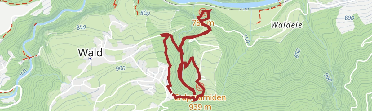
Open route Imst TourismusRundwanderung Erdpyramiden
A short 2.8 km loop out to the earth pyramids near Arzl, gaining 203 m.
- 2.8 km
- Distance
- 190 m
- Ascent
- 1 h 16 min
- Duration
Imster Radmarathon | Panoramarunde (Jubiläum)
A long tour out of Imst over the Holzleitensattel at 1,119 m, looping back down the Inn valley past the mouth of the Pitztal.
- 79.5 km
- Distance
- 727 m
- Ascent
- 7 h 45 min
- Duration
- 14
- Check-ins
Rundtour von Ötztal-Bahnhof über Imst und Haiming
A 34.8 km round from Ötztal-Bahnhof on the Inn cycle path through Roppen and the Imst gorge and back by Haiming, 477 m of climbing.
- 29.8 km
- Distance
- 309 m
- Ascent
- 2 h 56 min
- Duration
Open route ÖtztalRundwanderung Wald - Hohenegg
A 4.3 km round between Wald and Hohenegg above Arzl, with 197 m of climbing.
- 4.3 km
- Distance
- 171 m
- Ascent
- 1 h 26 min
- Duration
Haimingerberg Sattele
A long climb out of the Inn valley over the Haimingerberg to the Sattele at 1,690 m, with Ottos Einkehr shortly below the pass.
- 58.6 km
- Distance
- 2 095 m
- Ascent
- 7 h 11 min
- Duration
- 13
- Check-ins
Rundweg Erdpyramiden
A 4.2 km loop out to the earth pyramids, the eroded columns above the Pitztal, with 250 m of climbing.
- 4.2 km
- Distance
- 250 m
- Ascent
- 1 h 45 min
- Duration
Tschirgantrunde mit dem Rennrad
A round of the Tschirgant crossing the Holzleitensattel at 1,119 m, with the return along the floor of the Inn valley.
- 51.8 km
- Distance
- 683 m
- Ascent
- 5 h 14 min
- Duration
- 12
- Check-ins
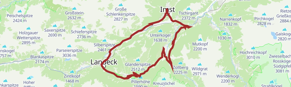
Pillerrunde
A big loop through the Inn valley and the Pitztal mouth, climbing over the Pillerhöhe pass before the run back to Imst.
- 65.8 km
- Distance
- 1 587 m
- Ascent
- 7 h 20 min
- Duration
- 11
- Check-ins
Inntalrunde
A valley circuit along the Inn from Silz, passing the mouths of both the Ötztal and the Pitztal.
- 55.2 km
- Distance
- 901 m
- Ascent
- 5 h 45 min
- Duration
- 8
- Check-ins
Rundtour von Ötztal-Bahnhof über Imst und Haiming
A valley circuit on tracks and back roads between the stations at Roppen, Imst-Pitztal and the Ötztal, with little serious climbing.
- 29.8 km
- Distance
- 326 m
- Ascent
- 2 h 58 min
- Duration
- 6
- Check-ins
Gravelrunde Vorderes Pitztal
A gravel round of the lower Pitztal, with the Kreuzjöchl lookout above the valley road.
- 33.0 km
- Distance
- 711 m
- Ascent
- 3 h 36 min
- Duration
- 4
- Check-ins
Pitztalrunde
A circuit of the lower Pitztal from Jerzens, out to the Inn valley and back up the other side.
- 35.7 km
- Distance
- 997 m
- Ascent
- 4 h 7 min
- Duration
- 4
- Check-ins
658 5-Orte-Runde
A track circuit linking five villages of the lower Ötztal, with a bouldering cave passed on the way round from Oetz.
- 28.2 km
- Distance
- 281 m
- Ascent
- 2 h 46 min
- Duration
- 3
- Check-ins
No routes of this kind in Roppen yet.
The region's own picks

Featured route
Dorfrunde Roppen „Römerbad“
Level 4 km walk around the village of Roppen, passing the spot known as the Römerbad.
Planning a trip to Roppen?
Everything else Tyrol has, in one place


Take Roppen with you into the mountains
Every route on this page with 3D terrain, GPX navigation and offline maps — including the valleys with no signal.
Data sources
- Official website: imst.at ↗
- Routes and highlights: Imst Tourismus, Tourismusverband Pitztal, Ötztal Tourismus, Tirol Werbung, Climbers Paradise *Neu*, Innsbruck Tourismus, Serfaus-Fiss-Ladis, Ötztal
- Published as open data by the tourist boards named above.
- Region summary generated from the board's own material.
