
Curated by APT Valsugana e Lagorai
Ronchi Valsugana
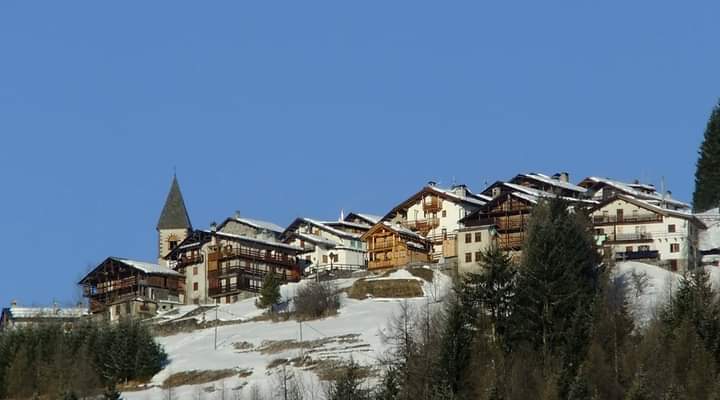
Valsugana village on the slope below the Mocheni valleys, above the Brenta.
- 8Routes
- Featured summit · Colle San Marco
Routes
12 from neighbouring places
Walk - Lago Grande
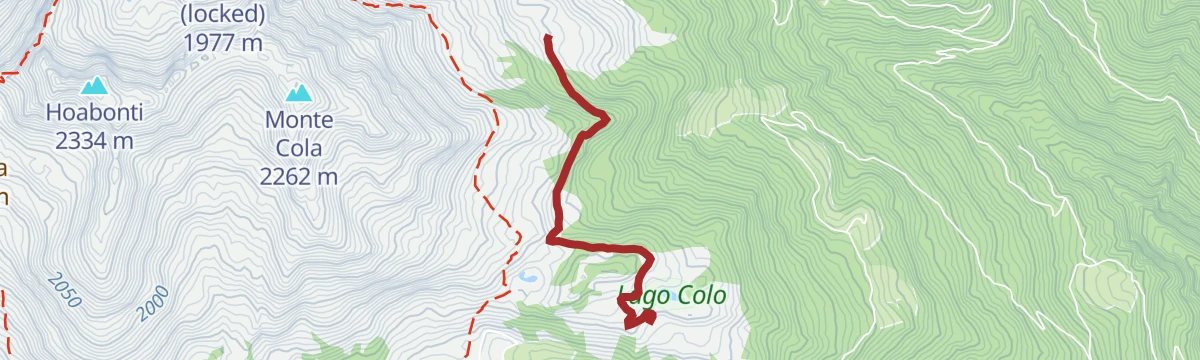
An easy walk over alpine pasture above Roncegno to the small Lago Grande in the western Lagorai.
- 4.1 km
- Distance
- 133 m
- Ascent
- 1 h 17 min
- Duration
- 15
- Check-ins
Open route APT Valsugana e LagoraiAnello Malga Casapinello, 7 laghi, Casapinello
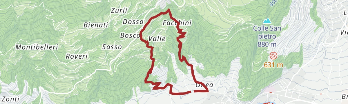
A ring from the Malga Casapinello above Ronchi Valsugana to the group of small tarns known as the seven lakes, and back.
- 7.6 km
- Distance
- 463 m
- Ascent
- 3 h 12 min
- Duration
- 6
- Check-ins
Open route APT Valsugana e LagoraiPeace Trail 27: From Rifugio Malga Masi to Campestrini
A stage of the Peace Trail from the Malga Masi over the La Bassa pass, then level through larch woods under the Fravort and Cola summits.
- 21.0 km
- Distance
- 463 m
- Ascent
- 6 h 56 min
- Duration
- 91
- Check-ins
 La Bassa 1 834 m
 Agriturismo Malga Masi 1 719 m
- Rifugio Serot 1 566 m
- Malga Fravort 1 565 m
 Laghetto delle Prese 1 617 m
- Lago delle Carezze 1 764 m
- +1
Open route APT Valsugana e LagoraiMTB - Val di Cavé Tour 2348
A gravel-road climb above Torcegno to Malga Colo and its mountain ponds, with Malga Casapinello on a side branch and a paved return.
- 28.4 km
- Distance
- 1 284 m
- Ascent
- 3 h 44 min
- Duration
- 17
- Check-ins
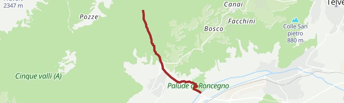
Open route APT Valsugana e LagoraieBike - on Monte di Roncegno Terme
A long climb out of the valley to the ring of huts above Roncegno, turning at Malga Trenca before an asphalt run down through Ronchi Valsugana.
- 30.9 km
- Distance
- 1 560 m
- Ascent
- 4 h 19 min
- Duration
- 40
- Check-ins
- Rifugio Serot 1 566 m
- Malga Fravort 1 565 m
- Agritur Rincher 1 592 m
- Agritur Paradiso 1 644 m
- Baita Manuela 1 424 m
- Rifugio Erterle 1 426 m
- +1
Open route APT Valsugana e Lagoraida Malga Colo a Malga Casapinello
An easy link between two alpine dairies, Malga Colo and Malga Casapinello, on the Lagorai slopes above Ronchi Valsugana.
- 4.9 km
- Distance
- 167 m
- Ascent
- 1 h 34 min
- Duration
- 9
- Check-ins
Open route APT Valsugana e LagoraiRampe delle Idee
A themed climb above Borgo Valsugana with tiles of quotations, games at the rest stops and the Mountain Thinker sculpture along the way.
- 6.3 km
- Distance
- 372 m
- Ascent
- 2 h 35 min
- Duration
- 1
- Check-ins
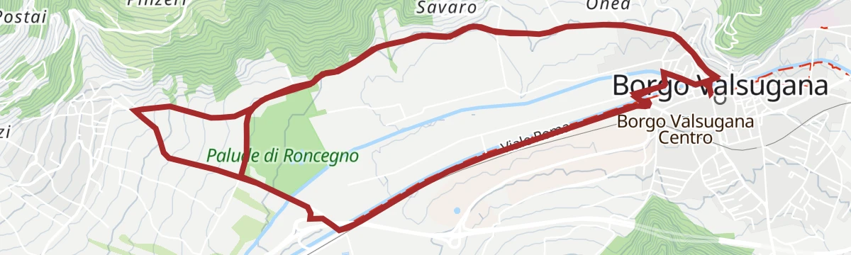
Open route APT Valsugana e LagoraiRoadbike - Roncegno - Ronchi (Mountain of Roncegno)
A road climb from Roncegno Terme to the malghe at Pozze and Trenca, dropping to Borgo Valsugana for the return.
- 30.2 km
- Distance
- 1 295 m
- Ascent
- 3 h 54 min
- Duration
- 38
- Check-ins
- Rifugio Serot 1 566 m
- Malga Fravort 1 565 m
- Ristorante alle Pozze 1 433 m
- Agritur Paradiso 1 644 m
- Malga Trenca 1 660 m
- Baita Alpini Rocegno 1 414 m
- +1
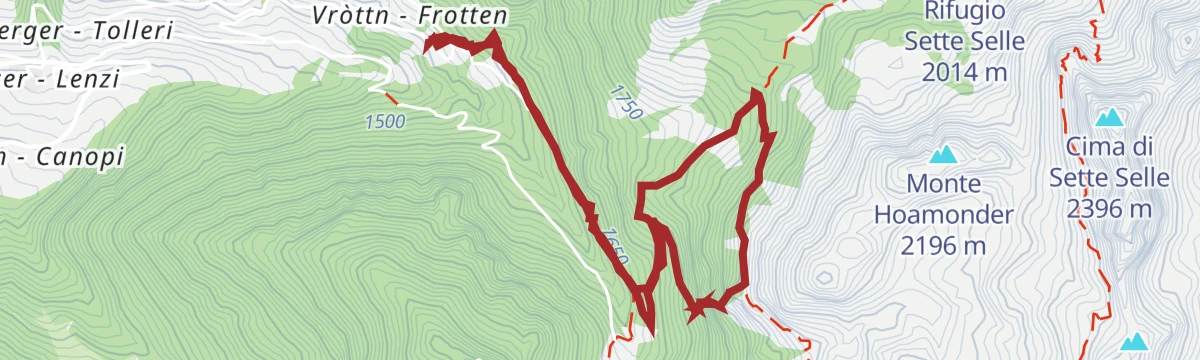
Open route APT Valsugana e LagoraiSki mountaineering - Cima Hoabonti
3.3 km away, in Roncegno Terme
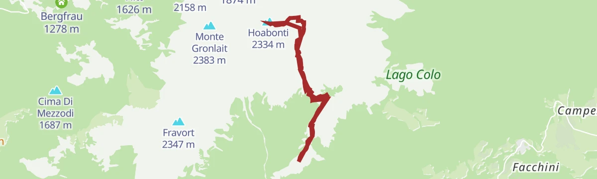
A ski tour to Cima Hoabonti in the western Lagorai, with good snow on the upper slopes and some avalanche care needed after fresh falls.
- 9.4 km
- Distance
- 878 m
- Ascent
- 878 m
- Descent
- 3 h 27 min
- Duration
- 28
- Check-ins
Open route APT Valsugana e LagoraiRoadbike - Evening Cup
4 km away, in Borgo Valsugana
A fast, winding road circuit at Borgo Valsugana, reworked in recent years to keep the evening race safe for a growing field.
- 14.4 km
- Distance
- 122 m
- Ascent
- 1 h 24 min
- Duration
- 6
- Check-ins
Open route APT Valsugana e LagoraiRoadbike - Little Golden Cup
4.9 km away, in Borgo Valsugana
A two-kilometre road circuit in Borgo Valsugana, laid out for the youngest riders alongside the Coppa d'Oro.
- 2.1 km
- Distance
- 13 m
- Ascent
- 12 min
- Duration
Open route APT Valsugana e LagoraiErdemolo via ferrata
6.9 km away, in Palù del Fersina
An equipped route on the wooded slope above the Erdemolo mine in the Mòcheno valley, 715 metres of cable graded from moderate to hard.
- 6.3 km
- Distance
- 525 m
- Ascent
- 4 h 16 min
- Duration
Open route APT Valsugana e LagoraiMTB - Tesino Bike - Lefre 2308
11.9 km away, in Pieve Tesino
A circular ride from Pradellano climbing in hairpins to Rifugio Monte Lefre, then on to Malga Valle before a gravel descent back to the lake.
- 13.4 km
- Distance
- 720 m
- Ascent
- 1 h 57 min
- Duration
- 19
- Check-ins
- Rifugio Monte Lefre 1 300 m
- Passo della Forcella 910 m
- Bacino di Pradellano 872 m
- Maso Adelina 873 m
- Maso Tranquillo 885 m
- Baita Alpina 1 309 m
- +2
Open route APT Valsugana e LagoraiPasso Cadin and Cima Bolenga
14.3 km away, in Castello-Molina di Fiemme
A ski tour from the Val Cadino over the Passo Cadin to Cima Bolenga, straightforward apart from the drifted snow at the pass.
- 14.9 km
- Distance
- 964 m
- Ascent
- 973 m
- Descent
- 4 h 54 min
- Duration
- 11
- Check-ins
Open route APT Fiemme CembraPeace Trail 28: From Campestrini to Rifugio Malga Conseria
2.7 km away, in Torcegno
A long stage from Campestrini, first on a cobbled mule track and then on shaded forest path, up to the Malga Conseria hut in the Lagorai.
- 21.3 km
- Distance
- 1 677 m
- Ascent
- 8 h 51 min
- Duration
- 102
- Check-ins
 Col Scandolera 1 421 m
- Rifugio Malga Consèria 1 848 m
- Bivacco Rifugio Consèria 1 824 m
- Malga Conseria 1 821 m
- Rifugio Carlettini 1 367 m
- Malga Cenon di sotto 1 334 m
- +5
Open route APT Valsugana e LagoraiMTB - Tour of the Val di Sella 2344
5.2 km away, in Borgo Valsugana
A mountain-bike loop from Borgo Valsugana through Olle and up the Val di Sella, passing Malga Costa and Arte Sella, with a dirt-road descent to Barco.
- 30.1 km
- Distance
- 740 m
- Ascent
- 3 h 22 min
- Duration
- 17
- Check-ins
- Malga Costa 991 m
- La Casina 678 m
- Lagorai Valsugana Orientale 383 m
- APT Valsugana 386 m
- Sez A.N.A. Trento - Gruppo Borgo 959 m
- Bicigrill Energy Bar 435 m
Open route APT Valsugana e LagoraiTorrente Chiavona D
1.8 km away, in Roncegno Terme
A level walk beside the Chiavona stream on the floor of the Valsugana at Roncegno.
- 3.7 km
- Distance
- 0 m
- Ascent
- 2 h 4 min
- Duration
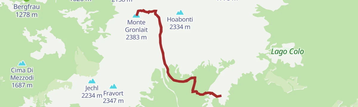
Open route Trentino FishingHike from Rifugio Serot to Passo della Portela, Monte Gronlait
2.7 km away, in Roncegno Terme
A climb from the Serot hut under the Fravort and Gronlait, over the Passo della Portela to the top of Monte Gronlait in the Lagorai.
- 9.5 km
- Distance
- 818 m
- Ascent
- 5 h 12 min
- Duration
- 46
- Check-ins
- Monte Gronlait 2 383 m
- Rifugio Serot 1 566 m
- Malga Fravort 1 565 m
- Passo della Portela 2 152 m
- Baito della Portela 1 992 m
Open route APT Valsugana e LagoraiRoadbike - Coppa Rosa Gran Premio dei Direttori Sportivi
4.1 km away, in Borgo Valsugana
A road racing circuit around Borgo Valsugana, used by the Veloce Club Borgo for its junior women's event in the Valsugana.
- 23.7 km
- Distance
- 331 m
- Ascent
- 2 h 25 min
- Duration
- 6
- Check-ins
Open route APT Valsugana e LagoraiSki mountaineering - Pizzo Alto
6.9 km away, in Palù del Fersina
A well-travelled ski tour to the Pizzo Alto above Palù del Fersina, with good snow in the forest and a final slope that needs judging.
- 7.0 km
- Distance
- 722 m
- Ascent
- 718 m
- Descent
- 2 h 45 min
- Duration
- 30
- Check-ins
Open route APT Valsugana e Lagorai






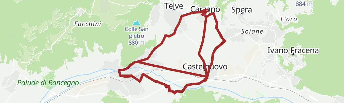
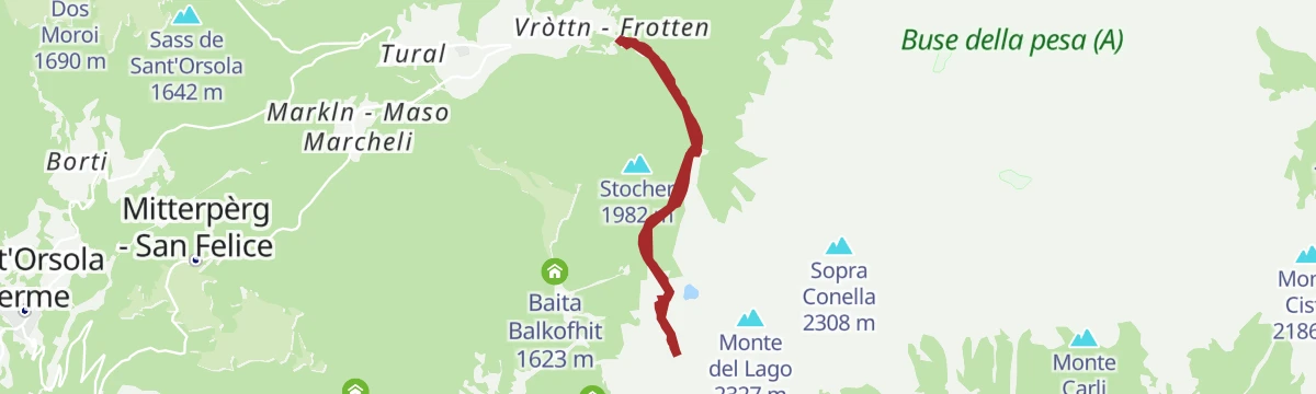
No routes of this kind in Ronchi Valsugana yet.
The region's own picks

Featured route
Walk - Lago Grande
An easy walk over alpine pasture above Roncegno to the small Lago Grande in the western Lagorai.
Planning a trip to Ronchi Valsugana?
Everything else Trentino-Alto Adige/Südtirol has, in one place


Take Ronchi Valsugana with you into the mountains
Every route on this page with 3D terrain, GPX navigation and offline maps — including the valleys with no signal.
Data sources
- Official website: visitvalsugana.it ↗
- Routes and highlights: APT Valsugana e Lagorai, APT Fiemme Cembra, Trentino Fishing
- Published as open data by the tourist boards named above.
- Region summary generated from the board's own material.
