
















Curated by Alpbachtal Tourismus
Reith im Alpbachtal
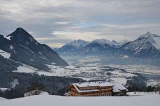
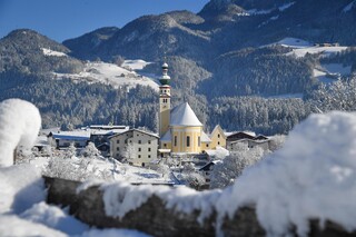
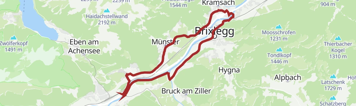
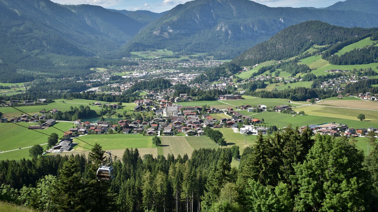
A village at 638 m on the terrace at the Alpbachtal entrance above Brixlegg, with the Reither Kogel, a small bathing lake and old craft workshops.
- 12Highlights
- 45Routes
- Featured summit · Reither Kogel
Highlights
3 from neighbouring places
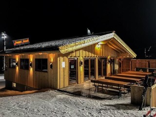
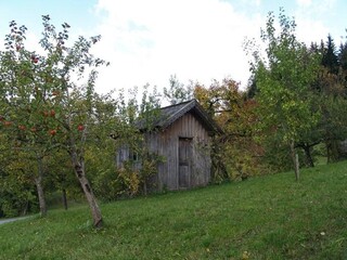
Juppi Stadl
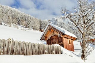
A hut on the Reither Kogel above Reith im Alpbachtal, at the Juppi family adventure area served by the Reitherkogelbahn.
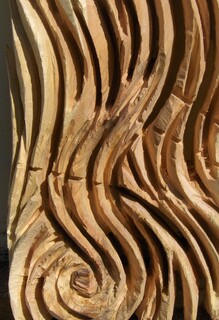
Andreas Rendl
A workshop address in the lower Alpbachtal, listed by the regional tourist board among the valley's artists and craftspeople.
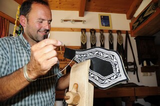
Federkielstickerei Georg Leitner
The workshop of Georg Leitner in Reith im Alpbachtal, practising Federkielstickerei, the Alpine craft of embroidering leather with peacock quills.
Knappenhaus
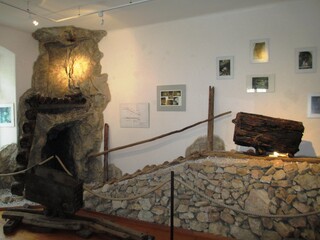
A historic miners' house (Knappenhaus) at Reith im Alpbachtal, recalling the ore mining that once employed men from the surrounding valley.
Alpengasthof Pinzgerhof
An alpine inn on the Brunnerberg above Reith im Alpbachtal, a traditional Gasthof with regional dishes and views over the lower valley.
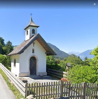
Fatimakapelle
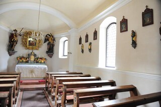
A chapel dedicated to Our Lady of Fátima in the lower Alpbachtal near Reith, a devotional building of the postwar decades.
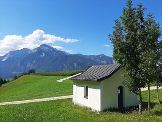
Gschwendtkapelle
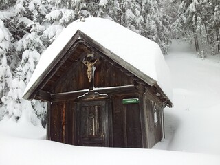
A farm chapel at Gschwendt near Reith im Alpbachtal; the name denotes ground once cleared of forest for farming.
Hubkapelle
A farm chapel at the Hub farmstead in Reith im Alpbachtal, one of a cluster of family chapels around the village.
Kapelle Maria vom Guten Rat
A chapel of Mary of Good Counsel near Reith im Alpbachtal, a quiet devotional stop on the slopes below the Reither Kogel.
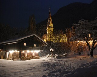
Pfarrkirche St. Petrus
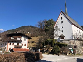
The parish church of St Peter in Reith im Alpbachtal, its churchyard and tower forming the centre of the terraced village.
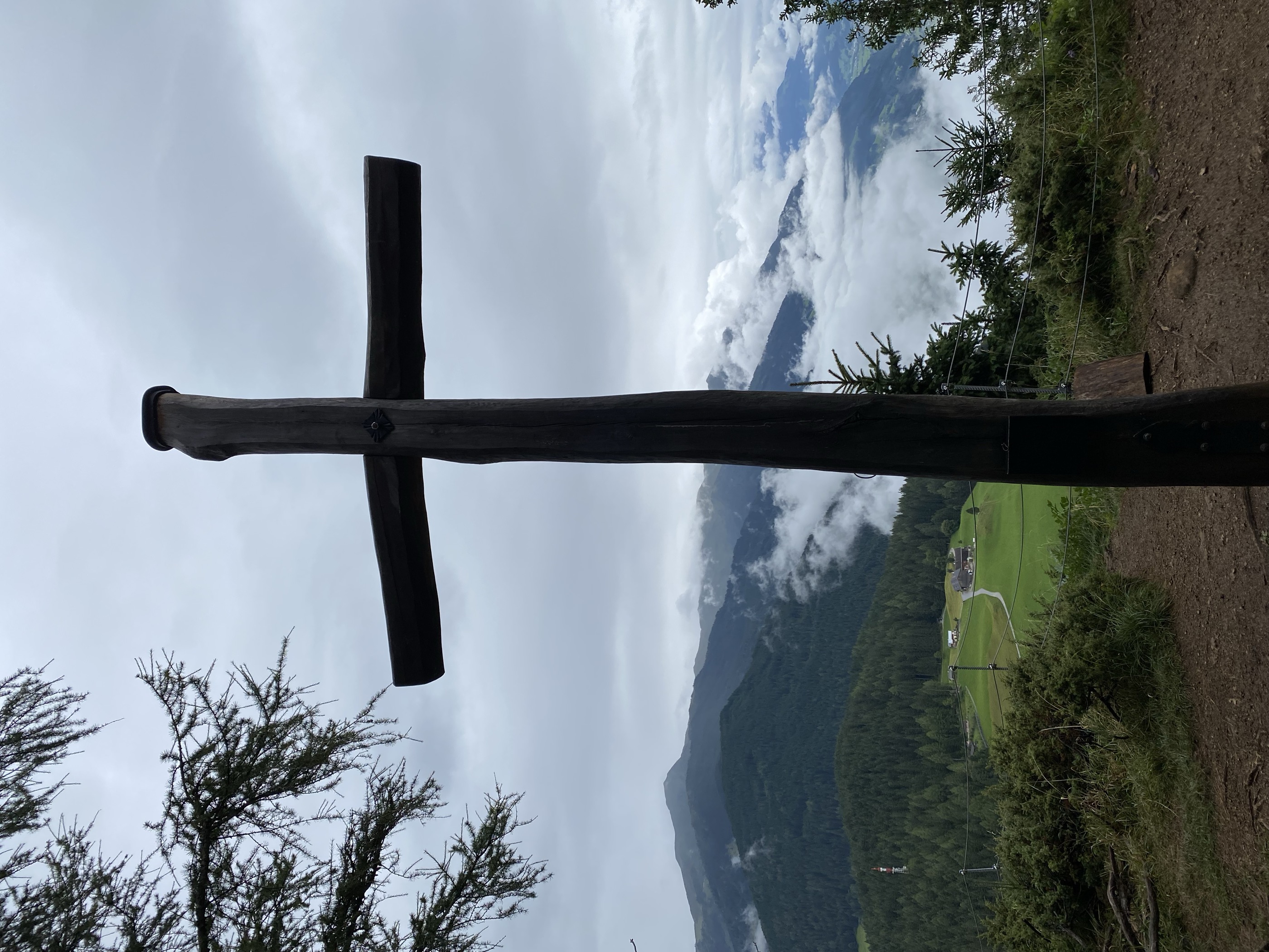
Rosenkranzkapelle am Reither Kogel
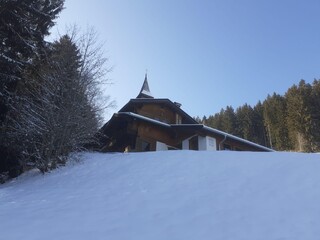
A rosary chapel on the wooded Reither Kogel, reached on the walking trails that circle the hill above Reith im Alpbachtal.
Schwablkapelle
A farm chapel at the Schwabl farmstead above Reith im Alpbachtal, typical of the private chapels of Tyrolean hill farms.
Filialkirche Mehrn zum Hl. Bartholomäus
2.7 km away, in Brixlegg
A filial church of St Bartholomew in the Mehrn district of Brixlegg, a small historic church on the edge of the town.
Tiroler Bergbau- & Hüttenmuseum
3.1 km away, in Brixlegg
A museum in Brixlegg on Tyrolean mining and smelting, reflecting the town's centuries of copper working and the nearby Schwaz mining district.
Bischofenkapelle
3.2 km away, in Alpbach
A farm chapel at the Bischofen farmstead near Alpbach, one of the chapels that dot the high pastures of the valley.
Nothing of this kind in Reith im Alpbachtal.
Routes
Alter Koglerweg
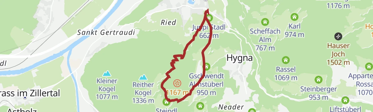
Easy valley-flank round in the Alpbachtal past the Gschwendt Almstüberl, the Wölzenbergalm and the Gschwendtkapelle, following an old farm connecting path.
- 6.3 km
- Distance
- 83 m
- Ascent
- 2 h 11 min
- Duration
- 10
- Check-ins
Alpbachtaler Almerlebniswanderung
Alm-experience round above Alpbach linking the Dauerstoa Alm, Wildsauhütte and Hochlindalm over the Kerschbaumer Sattel — pasture paths with steady climbing.
- 9.3 km
- Distance
- 748 m
- Ascent
- 3 h 36 min
- Duration
- 23
- Check-ins
Rundweg Hochlindalm (Reith i.A.) 317
Long pasture loop above Reith im Alpbachtal that strings together the Wildsauhütte, Hochlindalm and Schindlebenalm, with rustic huts spaced along the way.
- 16.3 km
- Distance
- 785 m
- Ascent
- 5 h 48 min
- Duration
- 6
- Check-ins
Skitour Loderstein (1.830 m) Reith im Alpbachtal
Ski tour above Reith im Alpbachtal onto the Loderstein, climbing past the Wildsauhütte and Hechenblaikenalm to a quiet forest summit at 1,830 m.
- 9.3 km
- Distance
- 1 025 m
- Ascent
- 1 017 m
- Descent
- 3 h 49 min
- Duration
- 4
- Check-ins
1. Tag - Mountainbike-Sternfahrt Alpbachtal
The first day of a multi-day round in the Alpbachtal, over the Kerschbaumer Sattel to the Dauerstoa Alm below the Spitzerköpfel.
- 42.0 km
- Distance
- 1 770 m
- Ascent
- 5 h 24 min
- Duration
- 50
- Check-ins
Inntalradweg - Reith i.A. 322
A short, easy connector dropping from the Reitherkogelbahn in Reith down to the main cycle route along the river Inn.
- 3.5 km
- Distance
- 160 m
- Ascent
- 25 min
- Duration
- 1
- Check-ins
Rennrad 16 Zillertal Extrem
More than 3,500 m of climbing in 108 km, taking in the Melchboden at 2,022 m, the Platzlalm and the Kerschbaumer Sattel.
- 108.7 km
- Distance
- 3 244 m
- Ascent
- 12 h 42 min
- Duration
- 77
- Check-ins
Reither Kogel Gipfelerlebnis
Short family summit walk onto the Reither Kogel, passing the Juppi Kid's Club Zauberhütte on a gondola-served hill with wide views over the Alpbachtal.
- 4.9 km
- Distance
- 266 m
- Ascent
- 1 h 53 min
- Duration
- 9
- Check-ins
Alpbachtaler Höhenweg
Mid-height traverse along the Alpbach valley between the village and the Scheffach Alm side, linking farm hamlets high above the valley floor.
- 8.4 km
- Distance
- 416 m
- Ascent
- 2 h 42 min
- Duration
- 12
- Check-ins
Jakobsweg ab Breitenbach
A 25 km leg of the Tyrolean Jakobsweg from Breitenbach along the Inn, passing the Badesee Badl and a woodcutters' hut on the way toward Rattenberg.
- 25.3 km
- Distance
- 342 m
- Ascent
- 6 h 50 min
- Duration
- 2
- Check-ins
 Tourismusinformation Rattenberg-Radfeld-Brixlegg 516 m
- Holzfällerhütte 577 m
 Badesee Badl 504 m
2. Tag - Mountainbike-Sternfahrt Alpbachtal - Wildschönau
A long stage crossing the Kragenjoch at 1,422 m, with rest stops at the Achentalalm and the Jausenstation Boarstadl.
- 56.3 km
- Distance
- 1 967 m
- Ascent
- 6 h 51 min
- Duration
- 34
- Check-ins
Rennrad 10 Stillup
A long ride up the Zillertal to Mayrhofen, then into the side valley on the toll road to the Grüne-Wand-Hütte at 1,437 m.
- 108.5 km
- Distance
- 1 209 m
- Ascent
- 10 h 46 min
- Duration
- 71
- Check-ins
Kapellenweg Reith
An easy chapel-themed stroll around Reith im Alpbachtal, linking village churches and wayside shrines before finishing at the Reither See swimming lake.
- 3.1 km
- Distance
- 53 m
- Ascent
- 52 min
- Duration
- 4
- Check-ins
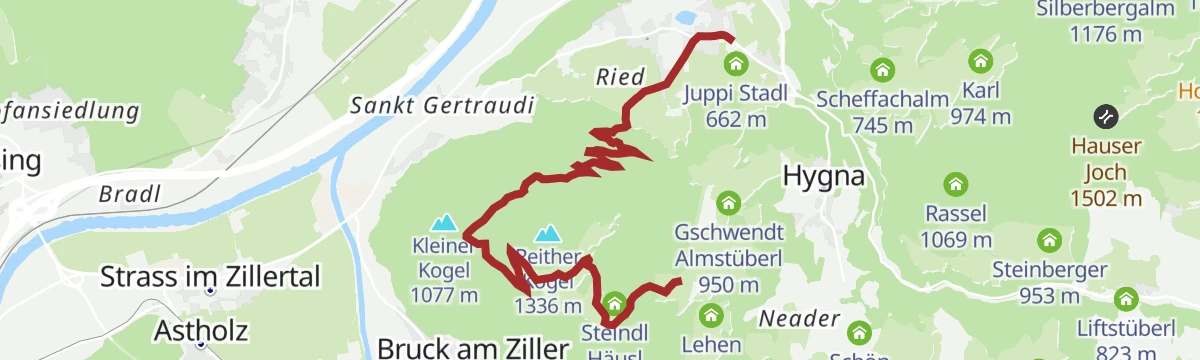
Wanderung zur Wildsauhütte
Half-day loop from Reith over the Kerschbaumer Sattel to the Wildsauhütte, returning past the Hechenblaikenalm and the Steindl Häusl on quiet farm lanes.
- 11.3 km
- Distance
- 429 m
- Ascent
- 3 h 42 min
- Duration
- 9
- Check-ins
MTB-route 320 Hornboden - Reith i.A.
A steep forest-road climb from the valley to the alms at 1,850 m below the Spitzerköpfel, passing the Hochlindalm and Wildsauhütte.
- 17.4 km
- Distance
- 1 323 m
- Ascent
- 2 h 26 min
- Duration
- 26
- Check-ins
Rennrad 01 Alpbachtal Giro
A big road day from the lower Inn valley over the Kerschbaumer Sattel at 1,113 m, with the lakes near Kramsach at start and finish.
- 117.2 km
- Distance
- 2 003 m
- Ascent
- 12 h 17 min
- Duration
- 58
- Check-ins
Panoramaweg Reith i.A.
Gentle balcony path on the Reither Kogel plateau, rounding the Spitzerköpfel with steady views over the Inn valley; the gondola takes care of the altitude.
- 6.7 km
- Distance
- 64 m
- Ascent
- 2 h 14 min
- Duration
- 4
- Check-ins
Kreuzweg - Reith im Alpbachtal
Way-of-the-cross climb that gains height quickly above Reith, passing the stations up to the Wölzenbergalm before easing back down past the Gschwendt Almstüberl.
- 6.2 km
- Distance
- 583 m
- Ascent
- 3 h 37 min
- Duration
- 7
- Check-ins
3. Tag - Mountainbike-Sternfahrt Alpbachtal
The closing stage, climbing to the Bayreuther Hütte at 1,560 m and coming back down to the Reitherkogelbahn and the Inn valley.
- 30.1 km
- Distance
- 1 176 m
- Ascent
- 3 h 47 min
- Duration
- 15
- Check-ins
Rennrad 13 Zillergrund Stausee
A long ride to Mayrhofen and on up the side valley towards the reservoir, reaching the Bärenbadalm at about 1,450 m.
- 109.6 km
- Distance
- 1 070 m
- Ascent
- 10 h 44 min
- Duration
- 47
- Check-ins
Reitherboden Rundwanderung
Easy meadow loop on the valley floor below the Reither Kogel, starting by the tourism office and passing the Tiroler Hof and the Liftcafe Heisn.
- 4.9 km
- Distance
- 62 m
- Ascent
- 1 h 18 min
- Duration
- 4
- Check-ins
Bergsteiger Wandertag 1 - Vom Pinzgerhof zum Alpengasthof
First of the village's mountaineer walking days: a moderate traverse from the Pinzgerhof over sunny mid-slopes to the Alpengasthof Rossmoos above Alpbach.
- 9.2 km
- Distance
- 443 m
- Ascent
- 2 h 59 min
- Duration
- 6
- Check-ins
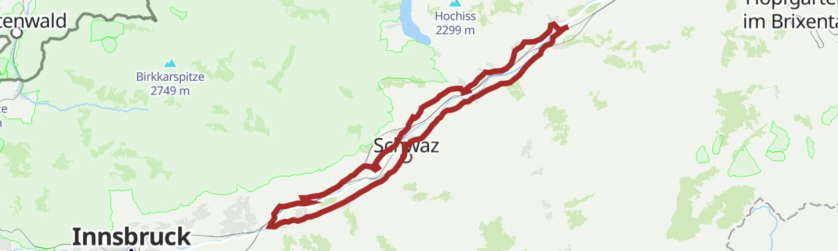
Oberes Unterinntal leichte Rennradtour in Wattens, Tirol
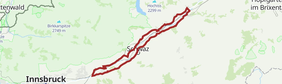
A long, almost flat tour along the Inn valley floor past Schloss Tratzberg, with little more than 300 m of climbing in 75 km.
- 75.7 km
- Distance
- 360 m
- Ascent
- 7 h 3 min
- Duration
- 15
- Check-ins
- Grillalm 523 m
- Hotel Schwarzbrunn 569 m
- Ticket Office 553 m
- Seminarhaus Schloss Tratzberg 544 m
- ECON Holzbau- Zimmerei 530 m
- Maoribrunnen beim Dorfinstallateur 520 m
- +2
Rennrad 17 Highway to Höll - auf den Spuren der Rad WM 2018
A long ride on the roads of the 2018 world championships, out along the Inn valley and up to the Hungerburg terrace above Innsbruck.
- 110.0 km
- Distance
- 1 100 m
- Ascent
- 10 h 47 min
- Duration
- 42
- Check-ins
KulTour - Wanderweg Hildegard von Bingen (barrierefrei)
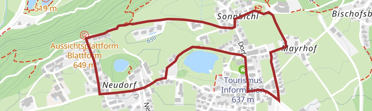
Barrier-free themed path devoted to the medieval abbess Hildegard von Bingen, running on gentle lanes from the Reith tourism office to the Reither See and back.
- 3.1 km
- Distance
- 11 m
- Ascent
- 45 min
- Duration
- 3
- Check-ins
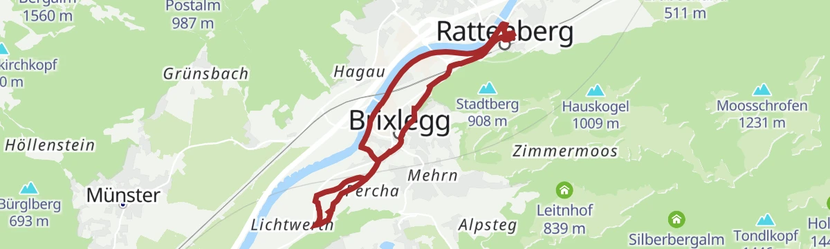
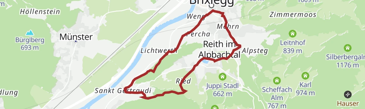
KulTour - Burgenweg Alpbachtal
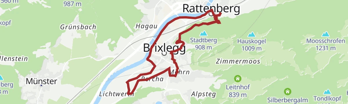
Round through the castle country at the Alpbachtal's mouth, connecting Rattenberg's hill fortress with manor sites toward Brixlegg on wooded paths.
- 10.2 km
- Distance
- 234 m
- Ascent
- 2 h 57 min
- Duration
- 4
- Check-ins
1. Tag - Mountainbike Runde Alpbachtal
The first day of a mountain-bike round through the Alpbachtal, climbing over 1,100 m from Brixlegg on the Inn up to Alpbach and the Postalm.
- 20.5 km
- Distance
- 969 m
- Ascent
- 2 h 34 min
- Duration
- 13
- Check-ins
Rennrad 14 Hinterhorn Alm
A long road day up the Inn valley from Radfeld, finishing with the toll-road climb to the alm at 1,522 m north of Hall in Tirol.
- 93.9 km
- Distance
- 1 328 m
- Ascent
- 9 h 35 min
- Duration
- 36
- Check-ins
Familienrundwanderung Juppi Zauberwald
A short forest loop built for small children, with play stations leading to the Juppi Kid's Club Zauberhütte on the Reither Kogel.
- 2.5 km
- Distance
- 78 m
- Ascent
- 47 min
- Duration
- 1
- Check-ins
KulTour - Burgenweg Alpbachtal im Winter
Winter-adapted version of the Alpbachtal castle walk near Rattenberg and Radfeld, shortened and kept low so it stays walkable when snow lies.
- 8.2 km
- Distance
- 44 m
- Ascent
- 2 h 1 min
- Duration
- 4
- Check-ins
Innradweg Kufstein - Hall
A near-level valley route along the Inn between Kufstein and Hall in Tirol, following the river past Kundl, Rotholz and Pill.
- 72.3 km
- Distance
- 90 m
- Ascent
- 6 h 28 min
- Duration
- 4
- Check-ins
Rennrad 12 Zillertal Cappucino
A flat run from the Inn up the valley to Mayrhofen and back, following the valley floor past Zell am Ziller.
- 74.7 km
- Distance
- 278 m
- Ascent
- 6 h 53 min
- Duration
- 35
- Check-ins
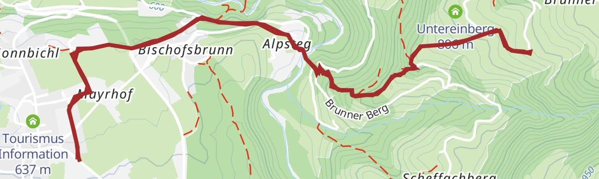
Rundwanderung Brunnerberg-Scheffachberg
Compact loop over the sunny Brunnerberg and Scheffachberg hillsides with a stop at the Scheffach Alm and long views across the lower Inn valley.
- 4.6 km
- Distance
- 243 m
- Ascent
- 1 h 46 min
- Duration
- 1
- Check-ins
KulTour - Burgenweg Alpbachtal mit dem Rad
A nearly flat culture circuit designed for the saddle, tracing castle history around Rattenberg, Radfeld and Brixlegg with a stop at the Vitriolhütte.
- 9.2 km
- Distance
- 34 m
- Ascent
- 2 h 14 min
- Duration
- 4
- Check-ins
Rennrad 09 Alpbach-Reither Kogel
A road climb from the Inn valley up the side valley to the Kerschbaumer Sattel at 1,113 m, with the Postalm shortly before the top.
- 46.7 km
- Distance
- 1 131 m
- Ascent
- 5 h 13 min
- Duration
- 24
- Check-ins
Wanderung mit BERGfrühstück
Morning walk up the Reither Kogel slopes timed for a mountain breakfast at the Liftcafe Heisn, with an easy descent back to the village afterwards.
- 5.7 km
- Distance
- 279 m
- Ascent
- 2 h 4 min
- Duration
- 1
- Check-ins
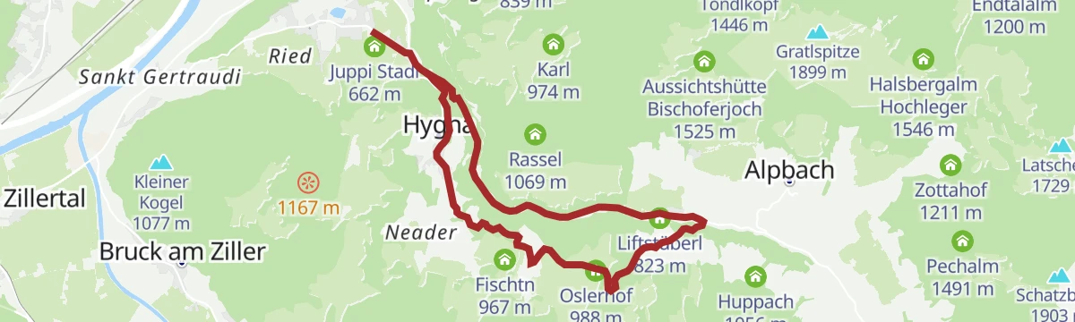
Rundweg Kolber (Reith i.A.) 316
Roomy half-day round above Reith connecting the Oslerhof and Gasteighof farmsteads, with the Liftstüberl and Liftcafe Heisn as refreshment stops.
- 11.9 km
- Distance
- 415 m
- Ascent
- 3 h 49 min
- Duration
- 4
- Check-ins
Radtour Brixlegg - Berggasthof Holzalm über Alpbach
A long ascent from the Inn valley up through Alpbach to the Holzalm at 1,449 m, close to the Bischoferalm and the Bischoferjoch viewpoint.
- 22.1 km
- Distance
- 1 048 m
- Ascent
- 2 h 58 min
- Duration
- 18
- Check-ins
Panoramaweg Reither Kogel
Almost level circuit around the summit plateau of the Reither Kogel, crossing the Spitzerköpfel between the Hinterkogel and the Liftcafe Heisn.
- 8.0 km
- Distance
- 21 m
- Ascent
- 2 h 26 min
- Duration
- 3
- Check-ins
Alpbachtal e-Bike Battle
An e-bike climb from Reith im Alpbachtal over the Kerschbaumer Sattel, on past the Wildsauhütte to the reservoir at 1,519 m.
- 23.1 km
- Distance
- 1 125 m
- Ascent
- 3 h 9 min
- Duration
- 13
- Check-ins
Wasserwanderweg Alpbachtal
Water-themed round from Reith that follows brooks and springs through the valley, with a swim option at the Reither See to finish.
- 8.6 km
- Distance
- 211 m
- Ascent
- 2 h 33 min
- Duration
- 2
- Check-ins
Rennrad 15 Oberes Unterinntal
A rolling road tour along the Inn between Radfeld and Wattens, passing Schloss Tratzberg and the mouth of the Zillertal at Strass.
- 72.4 km
- Distance
- 323 m
- Ascent
- 6 h 44 min
- Duration
- 12
- Check-ins
- Hotel Schwarzbrunn 569 m
- Tourismusinformation Rattenberg-Radfeld-Brixlegg 516 m
- Seminarhaus Schloss Tratzberg 544 m
- ECON Holzbau- Zimmerei 530 m
- Maoribrunnen beim Dorfinstallateur 520 m
- Goidinger Bau 554 m
- +1
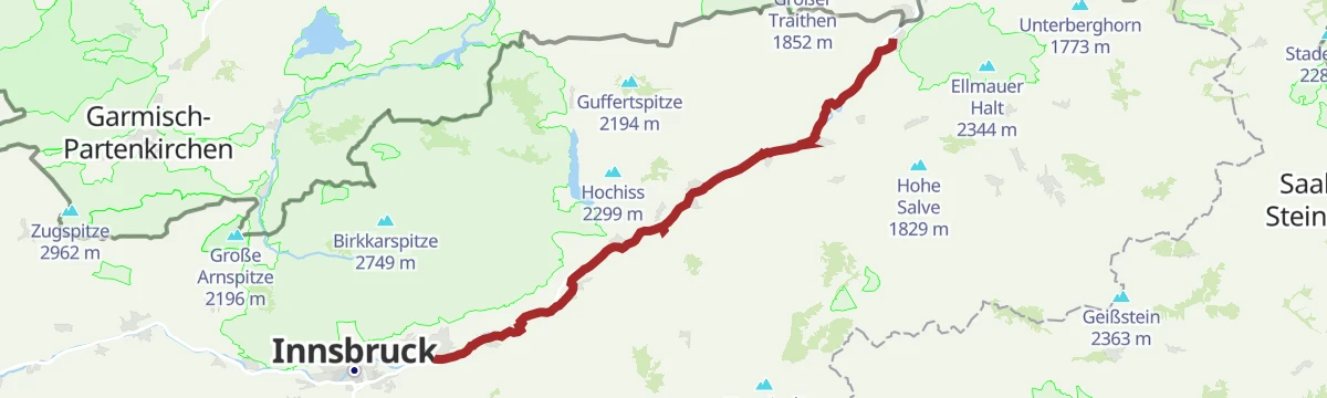
Innradweg - Tiroler Unterland - Radwanderroute 2
A long day on the Inn valley cycle route, running downstream from Innsbruck through Hall in Tirol to Rattenberg, Brixlegg and Kundl.
- 99.6 km
- Distance
- 95 m
- Ascent
- 8 h 58 min
- Duration
- 5
- Check-ins
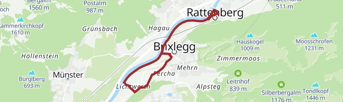
Inntal Radrunde (503)
A flat circuit through the valley floor around Brixlegg and Radfeld, passing Rattenberg and the farmland at Rotholz.
- 22.9 km
- Distance
- 42 m
- Ascent
- 2 h 4 min
- Duration
- 3
- Check-ins
- Tourismusinformation Rattenberg-Radfeld-Brixlegg 516 m
- Maoribrunnen beim Dorfinstallateur 520 m
Innradweg von Innsbruck bis Wörgl
A near-flat run downstream along the Inn from Innsbruck to Wörgl, passing Hall in Tirol and the villages of the lower valley.
- 68.5 km
- Distance
- 268 m
- Ascent
- 6 h 20 min
- Duration
- 3
- Check-ins
No routes of this kind in Reith im Alpbachtal yet.
The region's own picks

Featured route
Alter Koglerweg
Easy valley-flank round in the Alpbachtal past the Gschwendt Almstüberl, the Wölzenbergalm and the Gschwendtkapelle, following an old farm connecting path.
Planning a trip to Reith im Alpbachtal?
Everything else Tyrol has, in one place


Take Reith im Alpbachtal with you into the mountains
Every route on this page with 3D terrain, GPX navigation and offline maps — including the valleys with no signal.
Data sources
- Official website: alpbachtal.at ↗
- Routes and highlights: Alpbachtal Tourismus, Region Hall-Wattens, Kitzbüheler Alpen Tourismus
- Published as open data by the tourist boards named above.
- Region summary generated from the board's own material.
