

 Cable car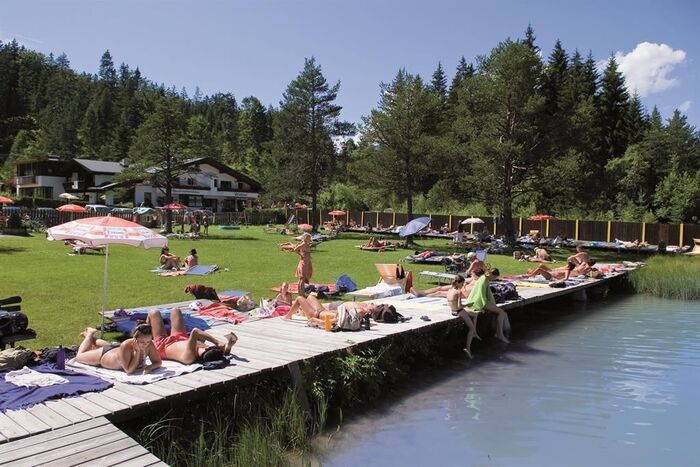

 Historic site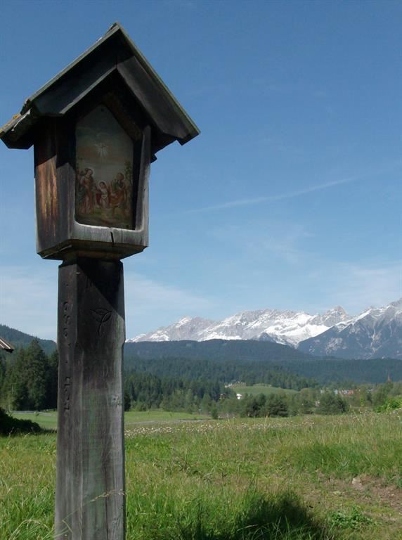

















Curated by Region Seefeld
Reith bei Seefeld
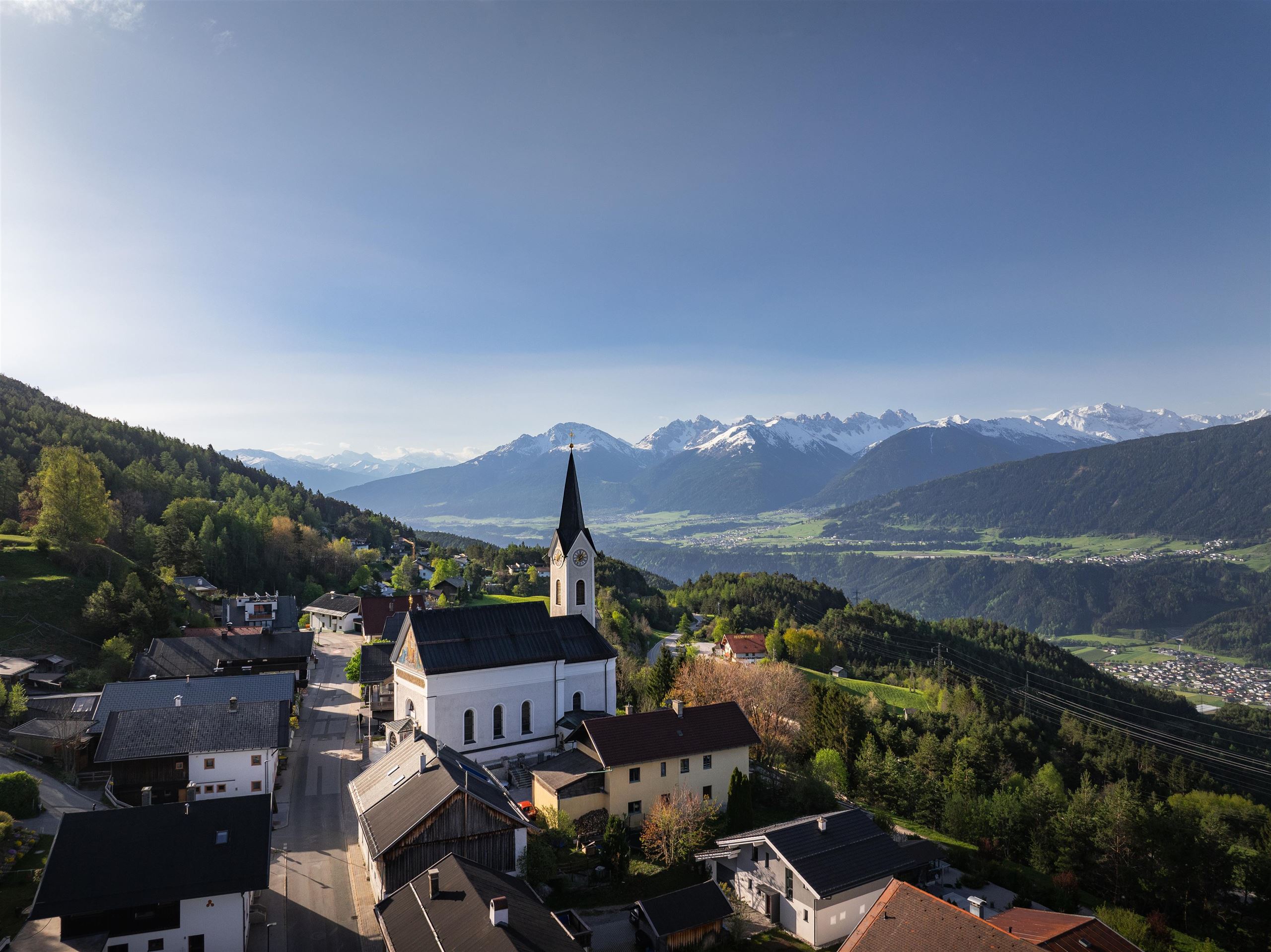
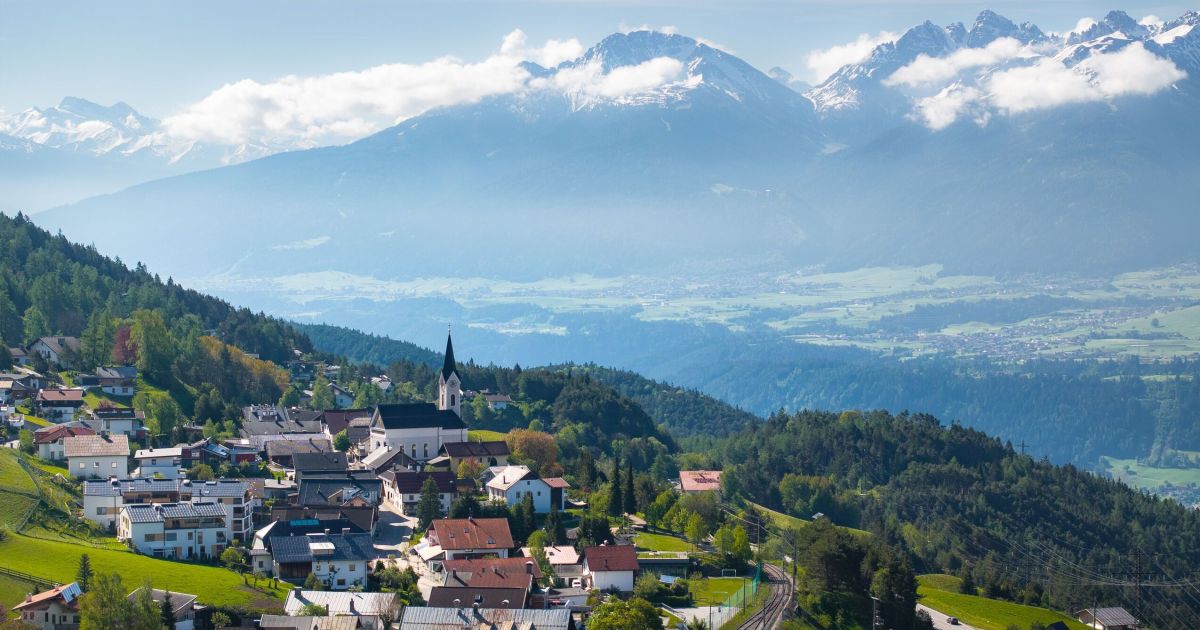
On the southern rim of the Seefeld plateau at 1130 m, hamlets and wayside chapels above the drop to the Inn, with the Rosshütte lifts close by.
- 18Highlights
- 51Routes
- Featured summit · Seefelder Spitze
Highlights
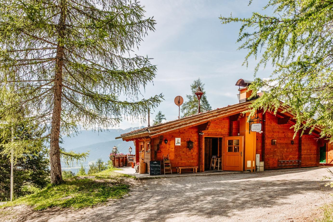
Enzianhütte
A hut above Reith bei Seefeld named after the gentian, open in summer and winter and easy to reach from the village.
Nördlinger Hütte
An Alpine Club hut at about 2,240 m just below the Reither Spitze, the highest refuge on the rim of the Seefeld plateau.
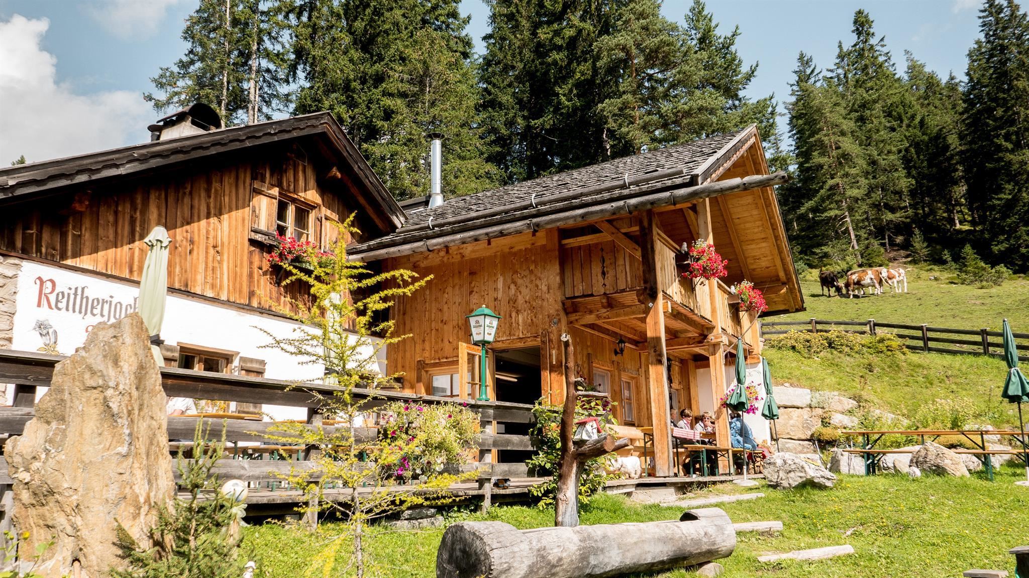
Reitherjoch Alm
An alm below the Reither Joch above Reith bei Seefeld, an easily reached stop on paths rising from the plateau.
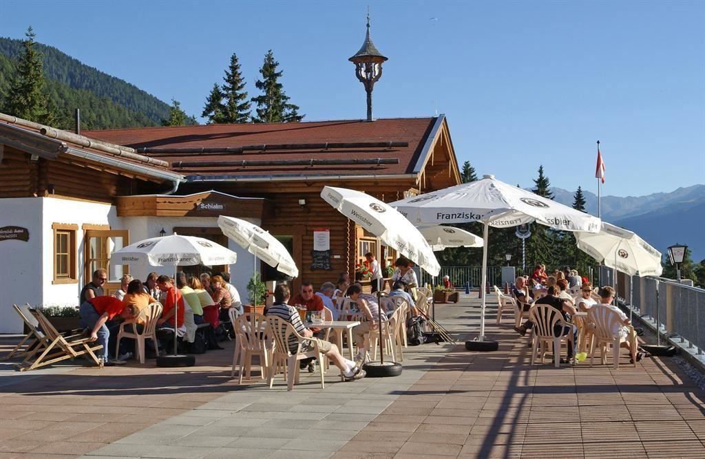
Skialm
A slope-side hut at the Rosshütte ski area above Seefeld, serving skiers through the winter season on the mountain.
Sonnenalm
A sun-facing alm on the Gschwandtkopf near Seefeld and Mösern, an easy stop for walkers and skiers on the family hill.
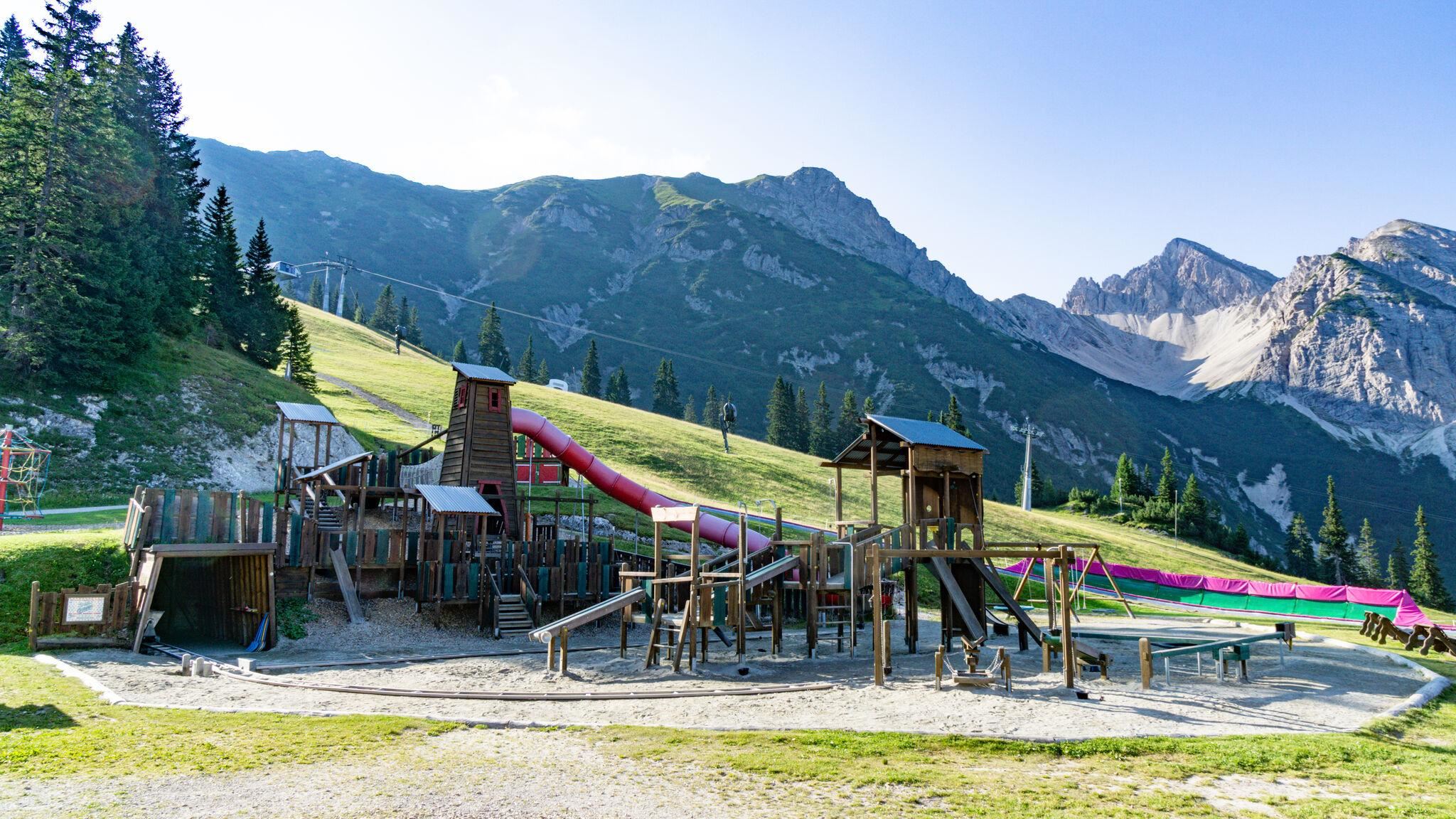
Bergbahnen Rosshütte
Seefeld's main lift system, combining a funicular to the Rosshütte with cable cars toward the Seefelder Joch and the Härmelekopf.
Sonja's Café, Waldbad, Café
A café and small forest bathing spot by the Wildsee in Seefeld, serving swimmers and walkers on the quieter side of the lake.
Florianibrunnen in Reith
A fountain dedicated to St. Florian in Reith bei Seefeld, a village monument to the patron saint invoked against fire.
Holzbildstock am "Gstoag"
A carved wooden wayside shrine on the Gstoag path near Reith bei Seefeld, one of the small devotional markers of the plateau.
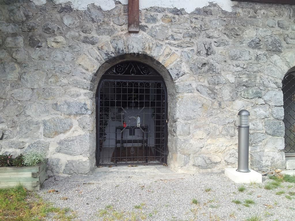
Lourdesgrotte in Reith
A Lourdes grotto near Reith bei Seefeld, a rock shrine to the Virgin Mary built in the manner of the French original.
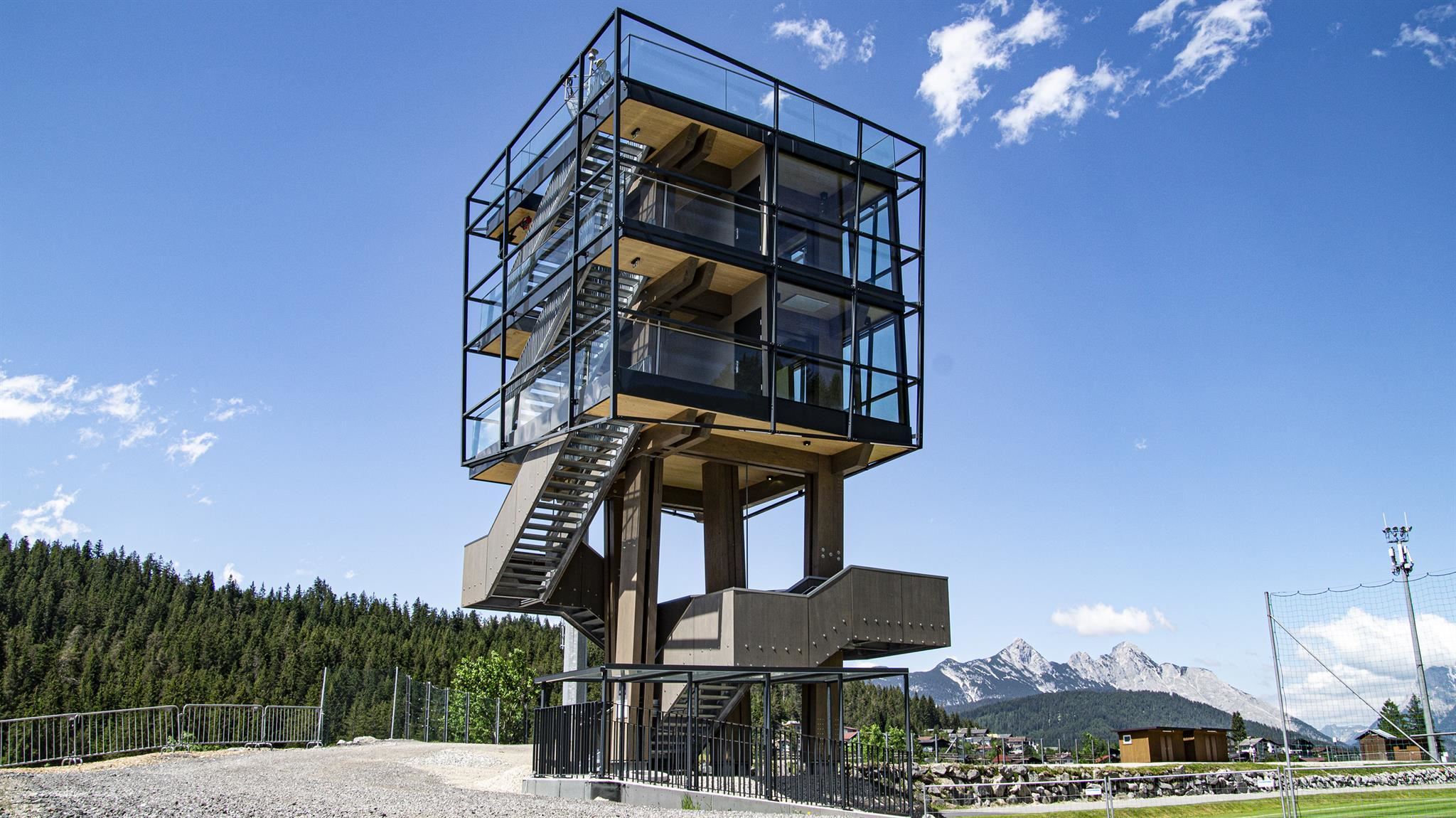
WM-Turm
A tower on the Gschwandtkopf side of Seefeld recalling the Nordic World Ski Championships the resort has hosted.
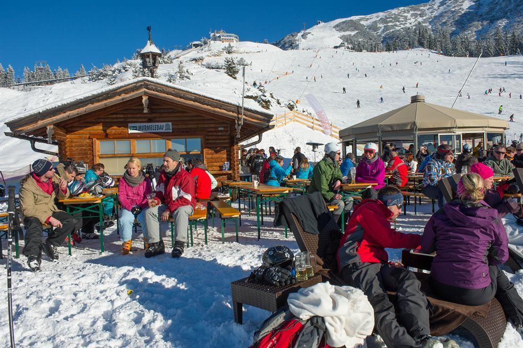
Murmelebau
A winter snack hut at the Rosshütte ski area above Seefeld, named after the marmot and aimed at families on the slopes.
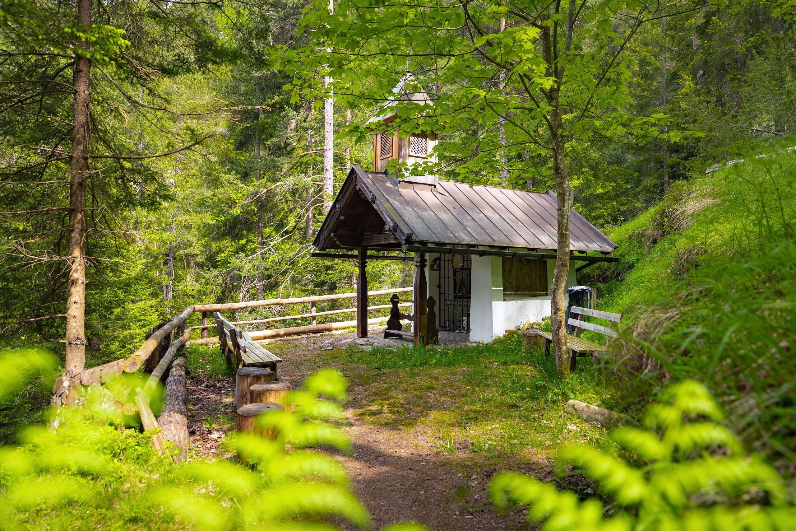
Cäciliakapelle
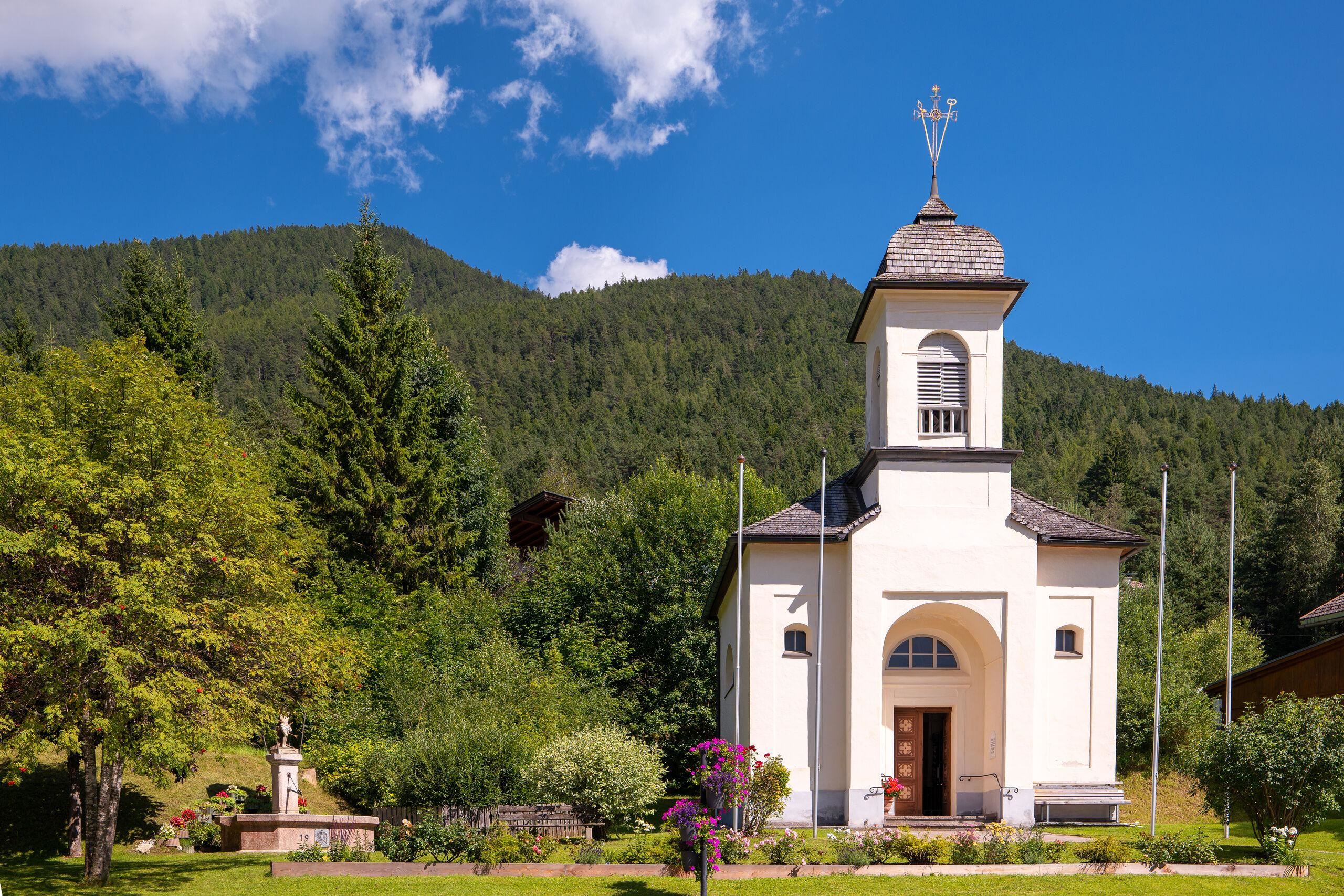
A chapel dedicated to St. Cecilia near Reith bei Seefeld, standing among the meadows on the edge of the village.
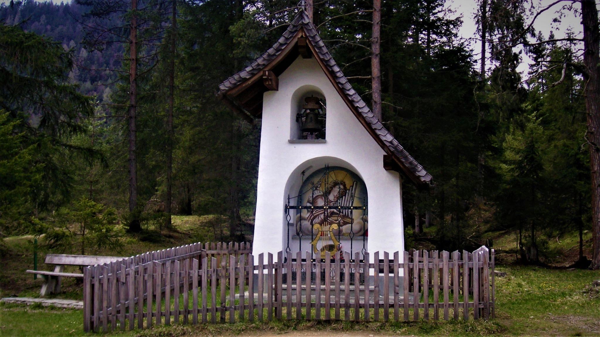
Frau Häusl/Kapelle
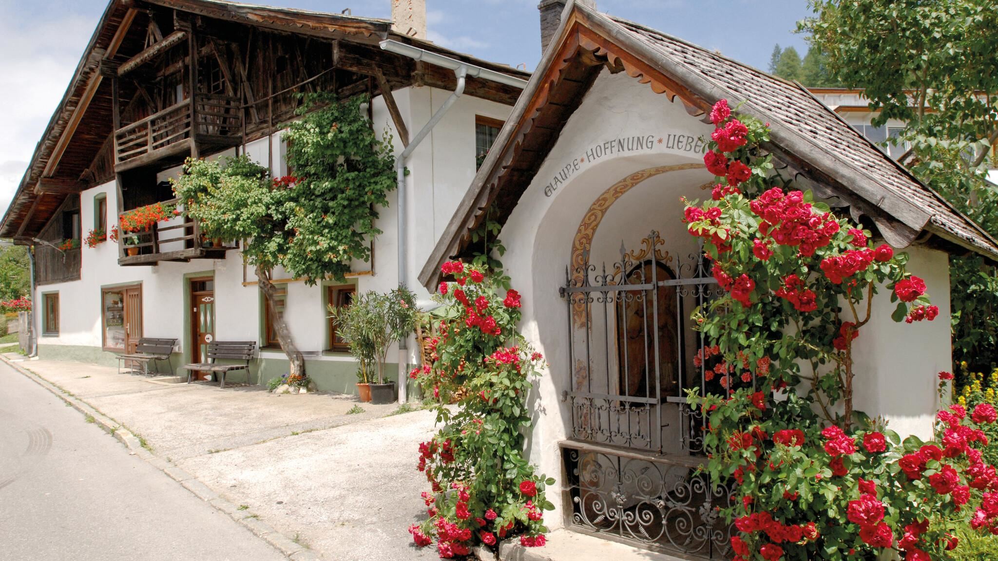
A small Marian chapel known as Frau Häusl near Reith bei Seefeld, a modest shrine on the wooded slope above the Inn valley.
Maria Hilf Kapelle
A Maria Hilf chapel in Reith bei Seefeld, a small shrine to the Virgin on the plateau at about 1,130 m.
Pfarrkirche St. Nikolaus
The parish church of Reith bei Seefeld, dedicated to St Nicholas, standing in the village at 1,130 m on the southern edge of the plateau.
Rosenkapelle (Nikolauskapelle) in Reith
A small chapel in Reith bei Seefeld, also known as the Nikolauskapelle, one of several wayside chapels around the village.
St. Magnus Kapelle
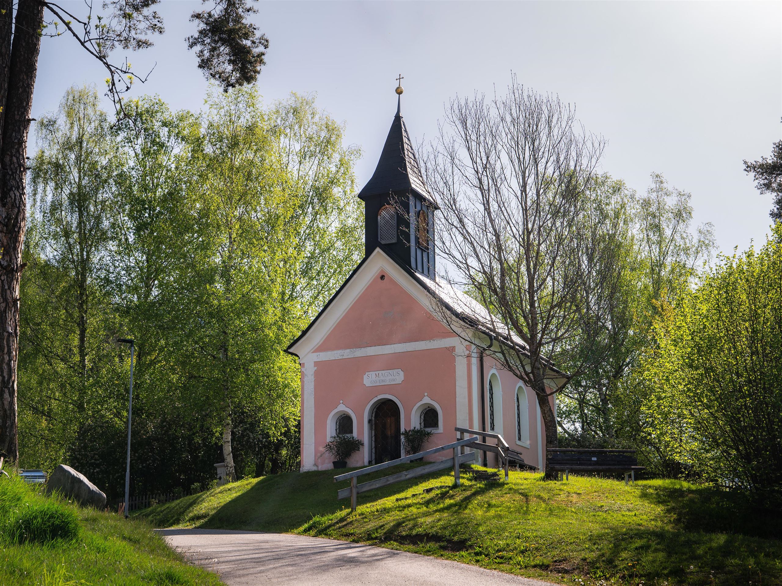
A chapel dedicated to St Magnus in Reith bei Seefeld, a quiet devotional site at 1,130 m on the southern Seefeld plateau.
Nothing of this kind in Reith bei Seefeld.
Routes
50 routes, an even mix of activities · see the rest on seefeld.com ↗
Haymon-Klettersteig (Reither Spitze 2.374 m)
Via ferrata up the north flank of the Reither Spitze to the 2,374 m summit, with short climbing sections, traverses and exposed ground, started from the Seefelder Joch.
- 3.5 km
- Distance
- 452 m
- Ascent
- 3 h 24 min
- Duration
- 97
- Check-ins
Seefelder Panorama-Klettersteig (Seefelder Spitze 2.221 m)
Via ferrata graded C that runs up to the 2,221 m Seefelder Spitze, gaining 522 m from the Seefelder Joch with the Karwendel and Wetterstein in sight.
- 3.7 km
- Distance
- 462 m
- Ascent
- 3 h 26 min
- Duration
- 97
- Check-ins
Thyrsus-Klettersteig (Härmelekopf 2.224 m)
Varied via ferrata on the Härmelekopf, 431 m of climbing that alternates wall pitches with airy traverses on the way to the 2,224 m top.
- 2.3 km
- Distance
- 381 m
- Ascent
- 2 h 42 min
- Duration
- 5
- Check-ins
Stadion-Laufrunde
Short, nearly flat running loop around Seefeld's Nordic stadium grounds, handy for a warm-up or an easy jog past the Sportalm.
- 3.0 km
- Distance
- 51 m
- Ascent
- 49 min
- Duration
- 7
- Check-ins
Königstour - die royale Wanderung
Ridge link of 4.7 km between the Seefelder Spitze at 2,220 m and the Reither Spitze at 2,373 m, dropping to the Nördlinger Hütte, with 470 m of climb.
- 4.7 km
- Distance
- 471 m
- Ascent
- 2 h 57 min
- Duration
- 109
- Check-ins
Etappe 3: Reither Spitze – Big 3 Weitwanderung
Third Big 3 stage, 15.3 km with 1,400 m of climb to the Reither Spitze, a stop at the Nördlinger Hütte and a traverse on to the Seefelder Spitze.
- 15.3 km
- Distance
- 1 396 m
- Ascent
- 8 h 32 min
- Duration
- 201
- Check-ins
Biketour Nr. 545 Gschwandtkopf
A short forest-road climb to the summit restaurant on the Gschwandtkopf at 1,480 m, starting from the Mösern side.
- 6.2 km
- Distance
- 268 m
- Ascent
- 49 min
- Duration
- 28
- Check-ins
Biketour Nr. 5027 Rosshütte
A forest-road climb of nearly 600 m past the Hocheggalm and the Kaltwassersee to the station at 1,751 m, topping the Köpfl.
- 10.8 km
- Distance
- 595 m
- Ascent
- 1 h 36 min
- Duration
- 92
- Check-ins
Bike & Hike Seefelder Spitze, 2.220 m
Ride-and-walk combination of 14.4 km and 1,094 m of climb to the Seefelder Spitze by way of the Rosshütte and the Kaltwassersee.
- 14.4 km
- Distance
- 1 095 m
- Ascent
- 2 h 42 min
- Duration
- 186
- Check-ins
Bike & Hike Seefelder Spitze, 2.220 m
A ride up to the Rosshütte and the Kaltwassersee, then on foot over the Seefelder Joch to the ridge top at 2,220 m.
- 17.0 km
- Distance
- 1 439 m
- Ascent
- 3 h 28 min
- Duration
- 176
- Check-ins
Rolli-Rundwanderung um den Wildsee
Level 3.4 km circuit of the Wildsee at Seefeld, surfaced and suitable for wheelchairs.
- 3.4 km
- Distance
- 0 m
- Ascent
- 47 min
- Duration
- 5
- Check-ins
Rundwanderung zum Panoramarestaurant Rosshütte und zur Hochegg Alm
A 7.7 km round from Seefeld to the Rosshütte panorama restaurant and the Hocheggalm, passing the Kaltwassersee with 525 m of climb.
- 7.7 km
- Distance
- 524 m
- Ascent
- 3 h 30 min
- Duration
- 106
- Check-ins
Wanderung zur Seefelder Spitze, 2.221 m und Seefelder Joch 2.060 m
Climb of 1,010 m from Seefeld over the Seefelder Joch at 2,060 m to the Seefelder Spitze at 2,221 m, 7.3 km of walking.
- 7.3 km
- Distance
- 1 008 m
- Ascent
- 4 h 18 min
- Duration
- 130
- Check-ins
Biketour Nr. 588 Reith-Eigenhofen
An almost level short ride from Reith bei Seefeld past the Kalter See, with barely 50 m of climbing in total.
- 5.7 km
- Distance
- 0 m
- Ascent
- 41 min
- Duration
- 2
- Check-ins
 Kalter See 859 m
 Informationsbüro Reith 1 123 m
Biketour mit Kinderanhänger: Zur Reitherjoch Alm Nr. 5032
A family route towards the alm at 1,509 m above Reith bei Seefeld, on forest roads wide enough for a child trailer.
- 12.7 km
- Distance
- 378 m
- Ascent
- 1 h 29 min
- Duration
- 13
- Check-ins
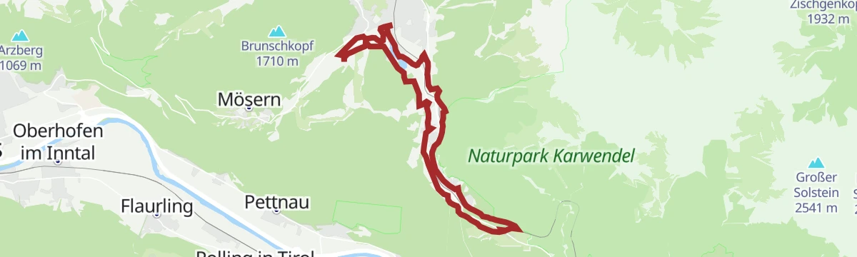
Radwanderroute: Reith - Seefeld - Scharnitz
A near-level cycle route dropping from the Seefeld plateau to Scharnitz at 964 m, passing the old Porta Claudia fortification.
- 18.5 km
- Distance
- 94 m
- Ascent
- 1 h 48 min
- Duration
- 5
- Check-ins
Innsbruck - Mösern - Seefeld
A long road day from the Inn valley onto the plateau at Mösern, continuing through the Leutasch past the Seewaldalm and the Kreithalm.
- 88.7 km
- Distance
- 1 388 m
- Ascent
- 9 h 11 min
- Duration
- 34
- Check-ins
Dorflaufrunde Seefeld
Flat running and walking circuit around Seefeld's village core, an easy leg-stretcher that stays close to the promenade and cafés.
- 4.9 km
- Distance
- 39 m
- Ascent
- 1 h 15 min
- Duration
- 5
- Check-ins
Geoweg Hermannstal
A 9.2 km route up the Hermannstal with seven stations on the rock types of the area, finishing at the Rosshütte restaurant.
- 9.2 km
- Distance
- 573 m
- Ascent
- 3 h 55 min
- Duration
- 65
- Check-ins
Bergtour über die Eppzirler Alm und Nördlinger Hütte nach Seefeld
Strenuous 21 km round from Seefeld by the Eppzirler Alm and the Nördlinger Hütte, with 1,520 m of climb and the whole plateau in view.
- 21.0 km
- Distance
- 1 520 m
- Ascent
- 10 h 2 min
- Duration
- 70
- Check-ins
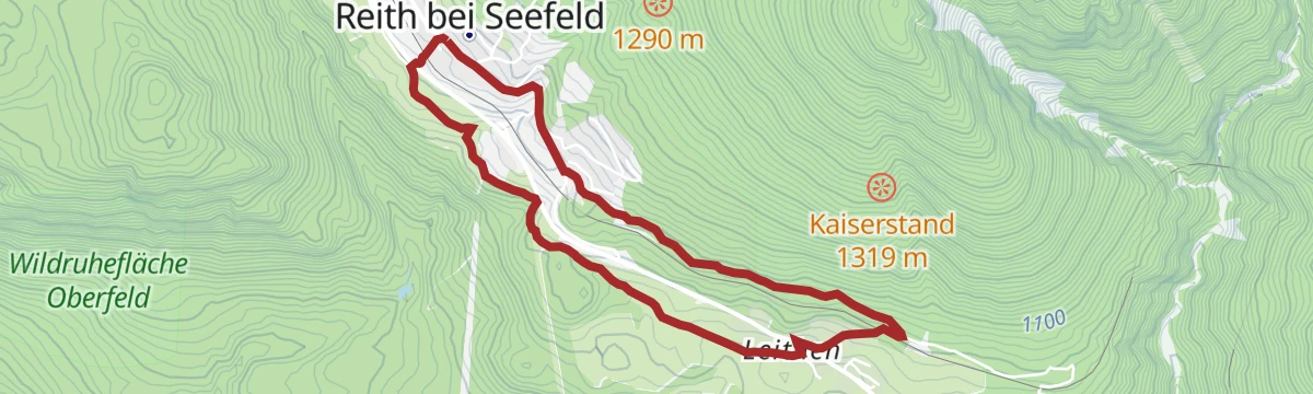
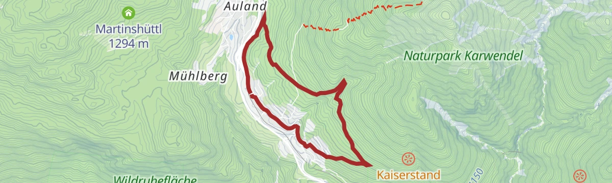
Biketour Nr. 5049 Reith-Kaiserstandrunde
A short loop above Reith bei Seefeld to the Kaiserstand lookout at 1,319 m, back down to the village in a few kilometres.
- 6.6 km
- Distance
- 250 m
- Ascent
- 49 min
- Duration
Bike-Verbindung Nr. 5030 Seefeld-Reith
A near-level link on forest tracks between Seefeld and Reith on the Tirolean plateau, passing the Bienenhotel on the way.
- 10.3 km
- Distance
- 128 m
- Ascent
- 1 h 2 min
- Duration
- 5
- Check-ins
Radwanderroute: Scharnitz - Seefeld - Reith
A valley-to-plateau ride up from the Isar at Scharnitz, over the Seefelder Sattel and on to Reith, past the Porta Claudia.
- 18.9 km
- Distance
- 392 m
- Ascent
- 2 h 3 min
- Duration
- 5
- Check-ins
Radwanderroute: Reith - Seefeld - Scharnitz
A signed cycle route from Reith across the Seefeld plateau and down to the Isar, finishing by the Porta Claudia viewpoint.
- 18.5 km
- Distance
- 221 m
- Ascent
- 1 h 51 min
- Duration
- 5
- Check-ins
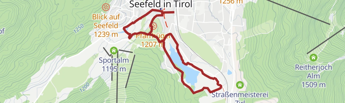
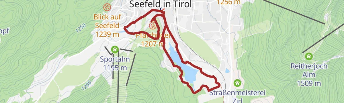
Dorfrundwanderung Wildsee, Pfarrhügel & Seekirchl
Easy 4.8 km village round at Seefeld, circling the Wildsee and passing the Seekirchl and the Pfarrhügel.
- 4.8 km
- Distance
- 44 m
- Ascent
- 1 h 13 min
- Duration
- 5
- Check-ins
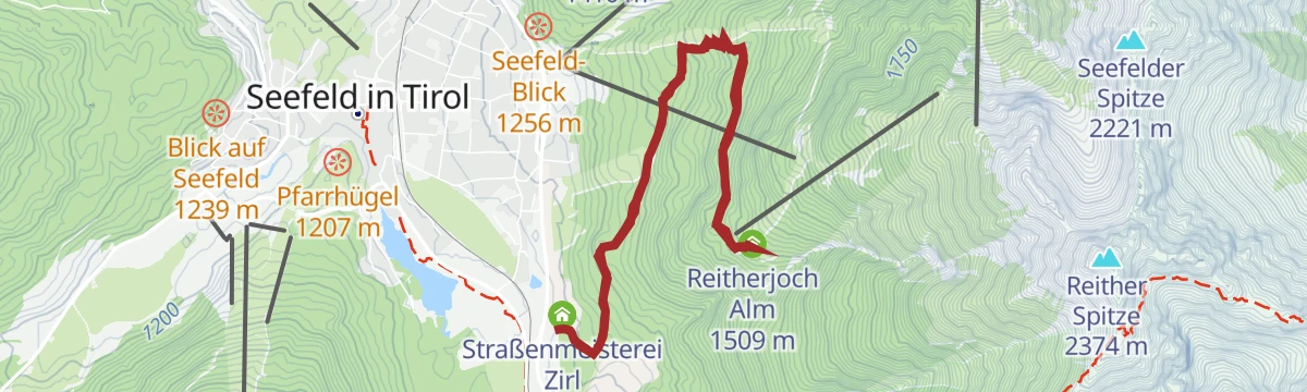
Rundwanderung zur Reitherjochalm
A 7 km round from Seefeld through the Hermannstal to the Reitherjochalm, where Tirolean dishes are served, with 370 m of climb.
- 7.0 km
- Distance
- 359 m
- Ascent
- 2 h 36 min
- Duration
- 47
- Check-ins
Bergtour über Nördlinger Hütte zur Reither Spitze, 2.374m
Demanding 9.9 km climb from Reith by the Nördlinger Hütte to the 2,374 m Reither Spitze, 1,190 m of ascent with the Härmelekopf on the ridge.
- 9.9 km
- Distance
- 1 190 m
- Ascent
- 7 h 5 min
- Duration
- 62
- Check-ins
Wanderung Bienen- & Nützlingslehrpfad
Easy 2.4 km path from Reith with 14 stations on wild and honey bees, taking in an insect hotel near the Seefelder Sattel.
- 2.4 km
- Distance
- 69 m
- Ascent
- 41 min
- Duration
- 4
- Check-ins
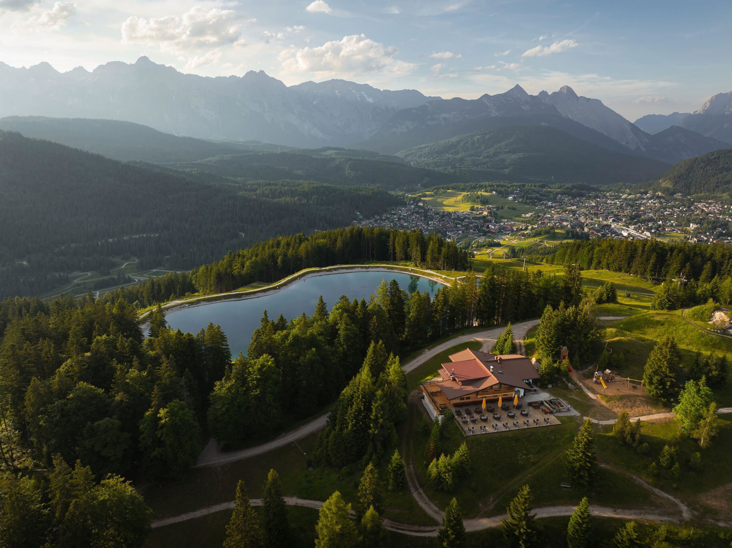
Wanderung auf den Gschwandtkopf
A 12.6 km walk from Seefeld to the top of the Gschwandtkopf, passing the reservoir that mirrors the surrounding peaks, with a restaurant at the summit.
- 12.6 km
- Distance
- 318 m
- Ascent
- 3 h 44 min
- Duration
- 33
- Check-ins
 Gschwandtkopf 1 495 m
- Sonnalm 1 482 m
- Speicherteich Gschwandtkopf 1 448 m
- Informations- und Mobilitätszentrum Seefeld 1 182 m
- Bergrettungshütte Gschwandtkopf 1 480 m
- Tourismusverband Seefeld 1 182 m
- +3
Etappe 1: Von Seefeld über Reith nach Leithen – Seefelder Hochplateau Winterweitwanderung
Winter stage of 16.7 km from Seefeld by the Wildsee and the bee trail at Reith on to Leithen, with little climbing but a long day.
- 16.7 km
- Distance
- 264 m
- Ascent
- 4 h 34 min
- Duration
- 16
- Check-ins
Rundwanderung Panoramaweg Reith
Easy 6.8 km circuit above Reith with 300 m of climb, looking into the Hölltal and down the Inn valley from the Kaiserstand.
- 6.8 km
- Distance
- 297 m
- Ascent
- 2 h 19 min
- Duration
Karwendel Höhenweg - Gehrichtung Reith-Scharnitz (Etappe 2): Nördlinger Hütte - Solsteinhaus
Second stage of the high route, 6.2 km from the Nördlinger Hütte over the Ursprungssattel and the Eppzirler Scharte to the Solsteinhaus.
- 6.2 km
- Distance
- 358 m
- Ascent
- 3 h 19 min
- Duration
- 27
- Check-ins
Karwendel Höhenweg - Gehrichtung Reith-Scharnitz (Etappe 1): Reith bei Seefeld - Nördlinger Hütte
Opening stage of the high route: 1,130 m of climb in 6.4 km from Reith bei Seefeld by the Schartlehnerhaus to the Nördlinger Hütte.
- 6.4 km
- Distance
- 1 133 m
- Ascent
- 4 h 18 min
- Duration
- 12
- Check-ins
Rundwanderung Wiesenweg Reith
Easy 4.6 km meadow circuit at Reith with 110 m of climb and open views over the Inn valley.
- 4.6 km
- Distance
- 111 m
- Ascent
- 1 h 22 min
- Duration
Wanderung von Seefeld nach Scharnitz
Nearly level 9.7 km walk from Seefeld to Scharnitz, following the Römerweg and the Hirnweg.
- 9.7 km
- Distance
- 52 m
- Ascent
- 2 h 39 min
- Duration
- 22
- Check-ins
Karwendel Höhenweg - Etappe 1
First leg of the Karwendel Höhenweg from Reith up to the Nördlinger Hütte via the Schartlehnerhaus; both ends are easy to reach by rail and bus.
- 6.4 km
- Distance
- 1 143 m
- Ascent
- 6 h 27 min
- Duration
- 12
- Check-ins
W33: Winterrundwanderung Hölltal
Winter round of 5 km on the panorama path above Reith, crossing the Hölltal with 192 m of climb.
- 5.0 km
- Distance
- 196 m
- Ascent
- 1 h 39 min
- Duration
Rundwanderung um den Gschwandtkopf
An 11.1 km circuit around the Gschwandtkopf through woodland to the Enzianhütte, with 270 m of climb and the Inn valley in view.
- 11.1 km
- Distance
- 270 m
- Ascent
- 3 h 16 min
- Duration
- 14
- Check-ins
Via Romea - Europäische Kulturroute Tiroler Etappe 1 & 2
A long day on the Tyrolean section of a European cultural route, passing the Porta Claudia and the Kalvarienberg on the way through Seefeld to Reith.
- 22.3 km
- Distance
- 332 m
- Ascent
- 6 h 20 min
- Duration
- 4
- Check-ins
W34: Winterrundwanderung Kulturweg Reith
Winter culture round of 5.2 km following the old Roman road towards Leithen, with ten historic monuments along it.
- 5.2 km
- Distance
- 123 m
- Ascent
- 1 h 31 min
- Duration
W32: Winterwanderweg zur Reitherjochalm
Quiet 7.2 km winter walk through spruce forest above Seefeld to the Reitherjoch Alm, with 310 m of climb.
- 7.2 km
- Distance
- 312 m
- Ascent
- 2 h 28 min
- Duration
- 14
- Check-ins
W5: Winterrundwanderung Wildsee, Pfarrhügel & Seekirchl
Quiet 4.7 km winter loop around the deeply snowed-in Wildsee at Seefeld, essentially flat.
- 4.7 km
- Distance
- 22 m
- Ascent
- 1 h 9 min
- Duration
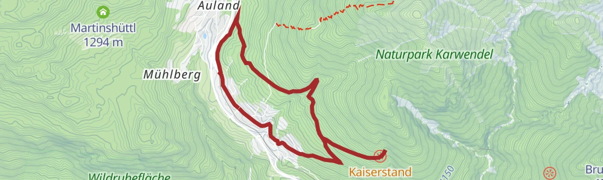
Rundwanderung von Seefeld nach Auland & Reith
A 9.2 km round from Seefeld through the Reither Auland and along the Wildsee, with 125 m of climb and the Inn valley opening up.
- 9.2 km
- Distance
- 125 m
- Ascent
- 2 h 28 min
- Duration
- 9
- Check-ins
Wanderung über den Rosenkranzweg zur Frau Häusl Kapelle
Short 1.6 km walk from Reith beside a stream, with carved rosary stations leading up to the Frau Häusl chapel.
- 1.6 km
- Distance
- 97 m
- Ascent
- 39 min
- Duration
Auland-Laufrunde
Running loop from Seefeld through the Auland meadows toward Reith and back over the Seefelder Sattel, on rolling paths past the Bienenhotel.
- 9.0 km
- Distance
- 173 m
- Ascent
- 2 h 31 min
- Duration
- 9
- Check-ins
Dorflaufrunde Reith
Village running and walking loop around Reith bei Seefeld on lanes and field paths, an easy round starting near the Informationsbüro.
- 4.6 km
- Distance
- 147 m
- Ascent
- 1 h 27 min
- Duration
Wanderung zum Hochleithenkopf
A 9.9 km walk from Seefeld past the Wildsee up to the Hochleithenkopf, with 230 m of climb and a view down the Inn valley.
- 9.9 km
- Distance
- 231 m
- Ascent
- 2 h 53 min
- Duration
- 5
- Check-ins
W7: Winterrundwanderung Reith - Seefeld - Reith
Winter round of 8.7 km between Reith and Seefeld through forest and over the snow-covered Auland, with little climbing.
- 8.7 km
- Distance
- 118 m
- Ascent
- 2 h 19 min
- Duration
- 4
- Check-ins
W2: Winterrundwanderung um den Gschwandtkopf
Winter circuit of 10.5 km around Seefeld's local hill, with 226 m of climb and a stop at the Enzianhütte.
- 10.4 km
- Distance
- 255 m
- Ascent
- 3 h 4 min
- Duration
- 2
- Check-ins
Kulturwanderweg Reith
A 7.4 km loop from Reith along the old Roman road, taking in 14 historic sites including the parish church of St. Nikolaus and the bandstand.
- 7.4 km
- Distance
- 158 m
- Ascent
- 2 h 7 min
- Duration
No routes of this kind in Reith bei Seefeld yet.
The region's own picks
Featured route
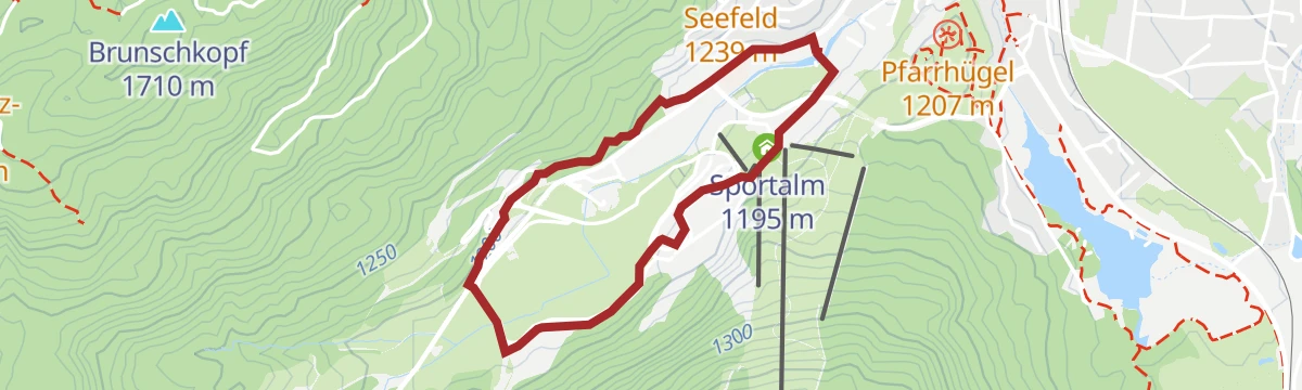
Stadion-Laufrunde
Short, nearly flat running loop around Seefeld's Nordic stadium grounds, handy for a warm-up or an easy jog past the Sportalm.
Planning a trip to Reith bei Seefeld?
Everything else Tyrol has, in one place


Take Reith bei Seefeld with you into the mountains
Every route on this page with 3D terrain, GPX navigation and offline maps — including the valleys with no signal.
Data sources
- Official website: seefeld.com ↗
- Routes and highlights: Region Seefeld, Innsbruck Tourismus
- Published as open data by the tourist boards named above.
- Region summary generated from the board's own material.
