
Curated by Alpenregion Vorarlberg
Raggal
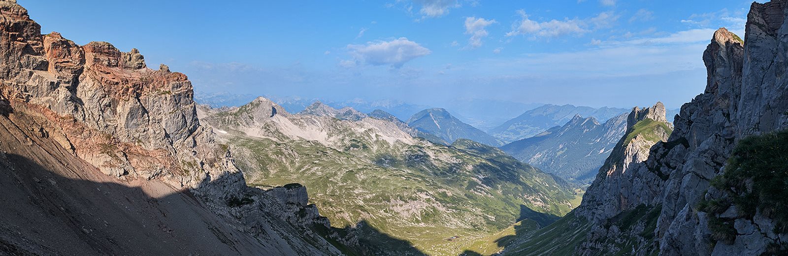
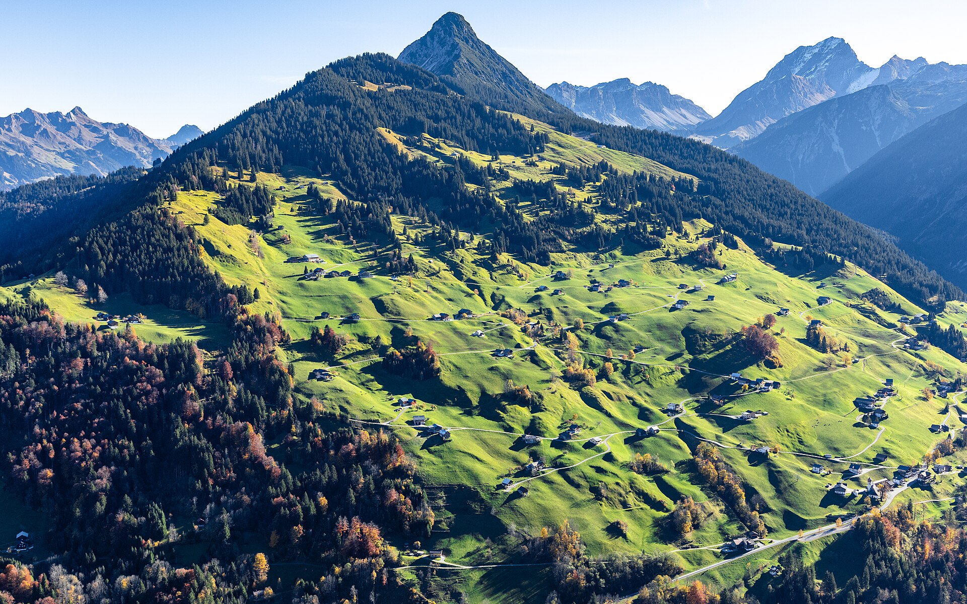
A sunny terrace village at about 1000 m on the south side of the Großes Walsertal, with the mountain hamlet of Marul tucked into a side valley.
- 6Highlights
- 26Routes
Highlights
9 from neighbouring places
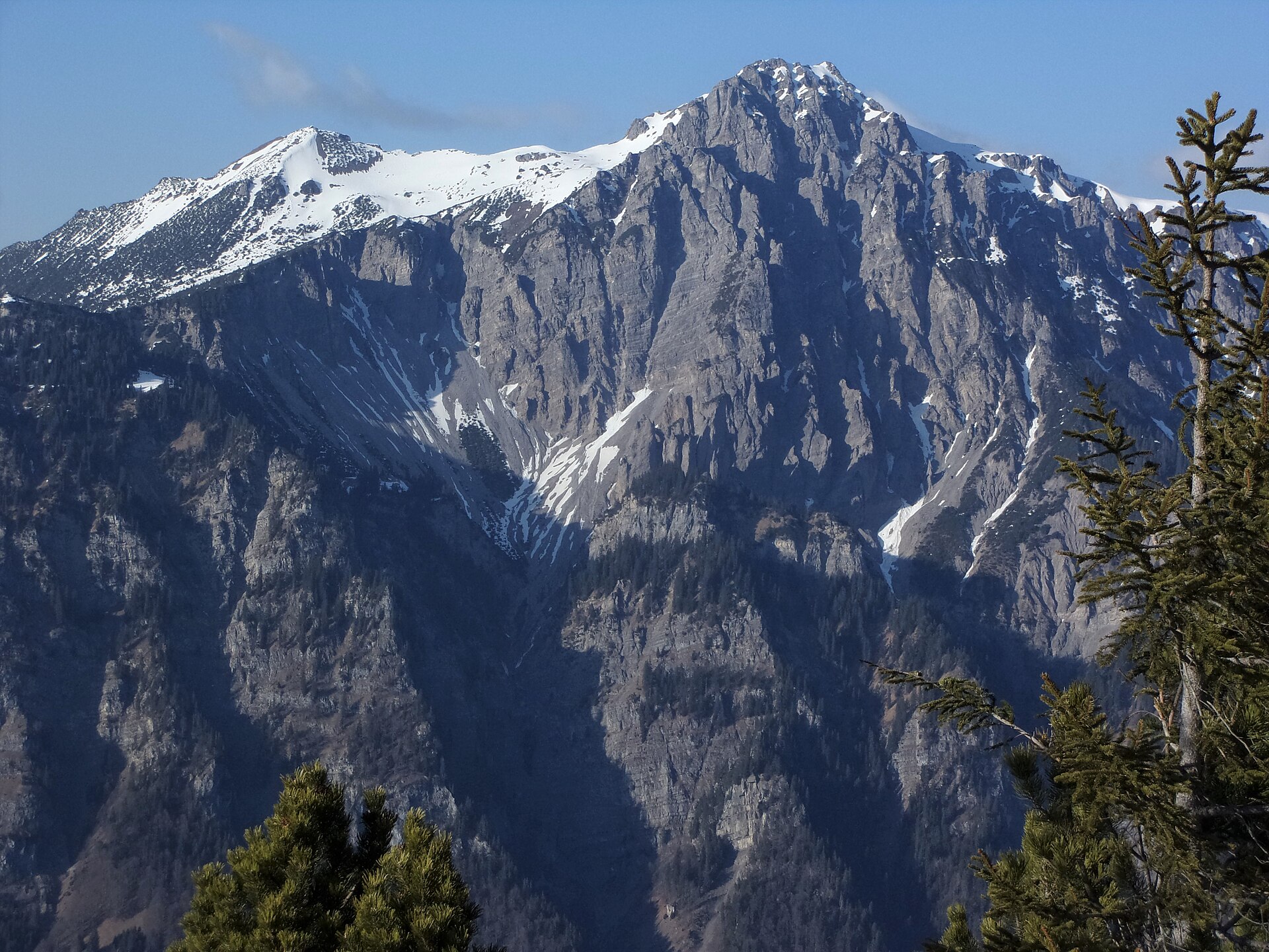
Breithorn
The broad summit the geographic centre point of Vorarlberg lies under.
PeakVisor / OpenStreetMapElser Novakopf
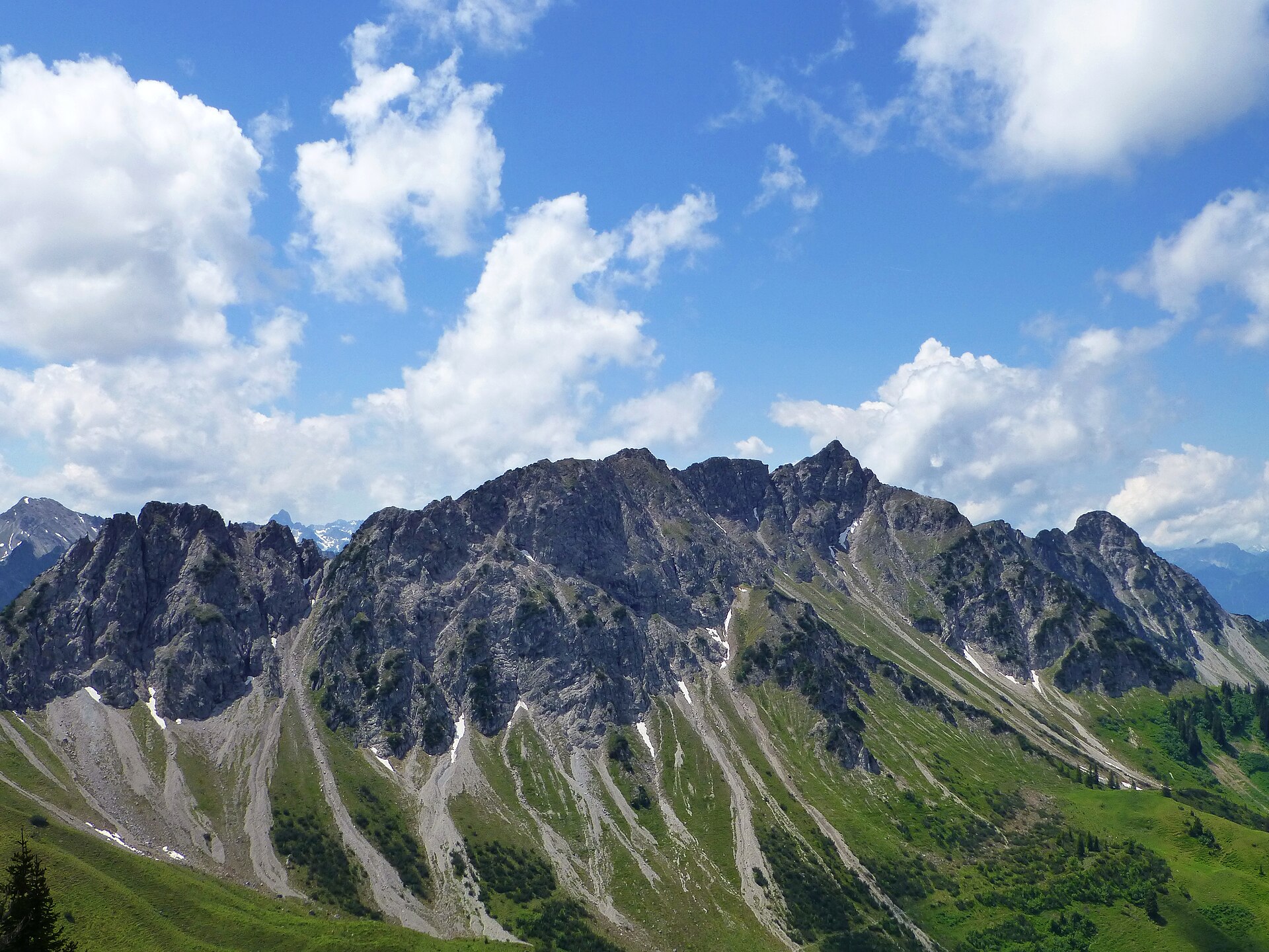
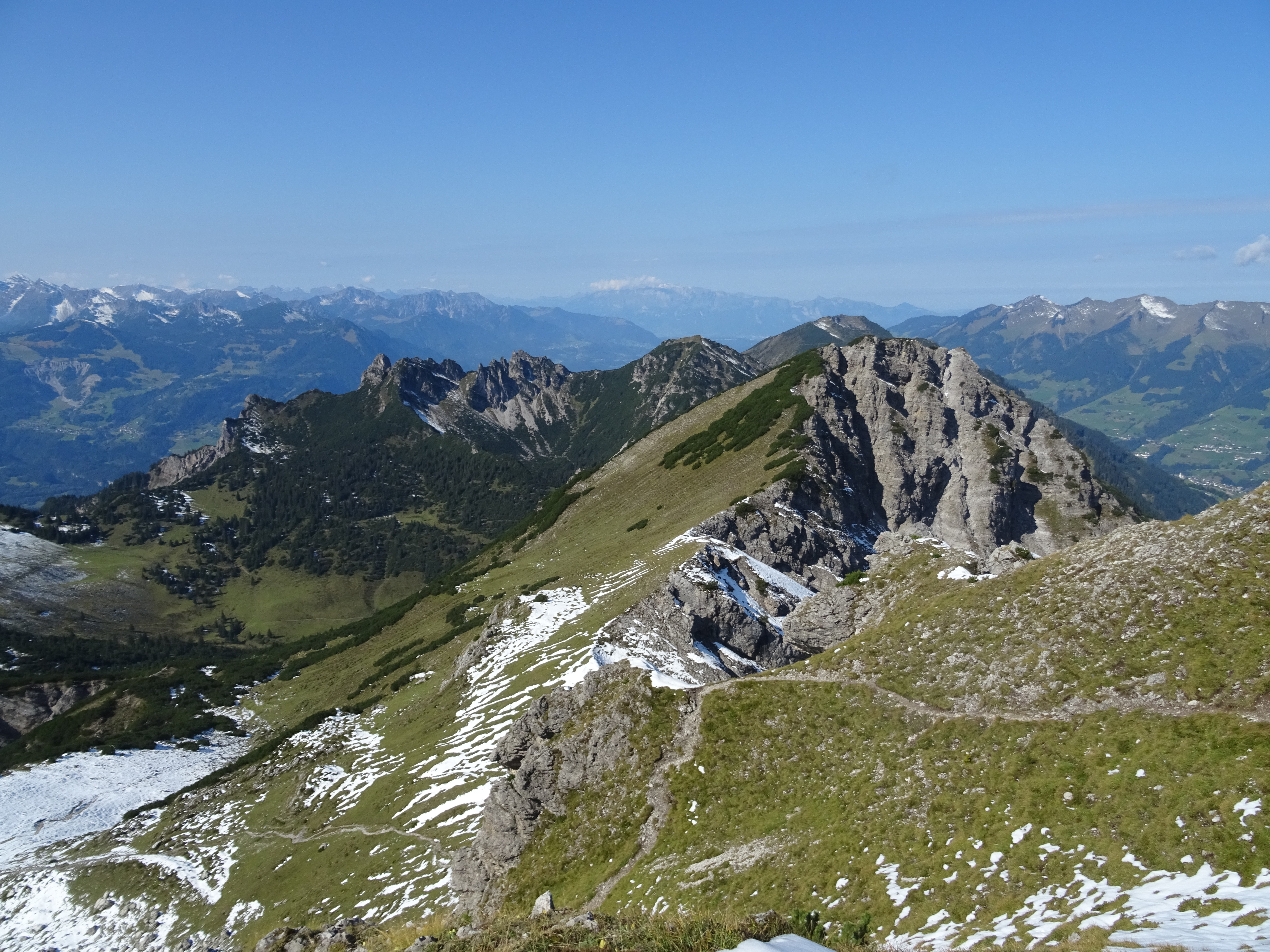
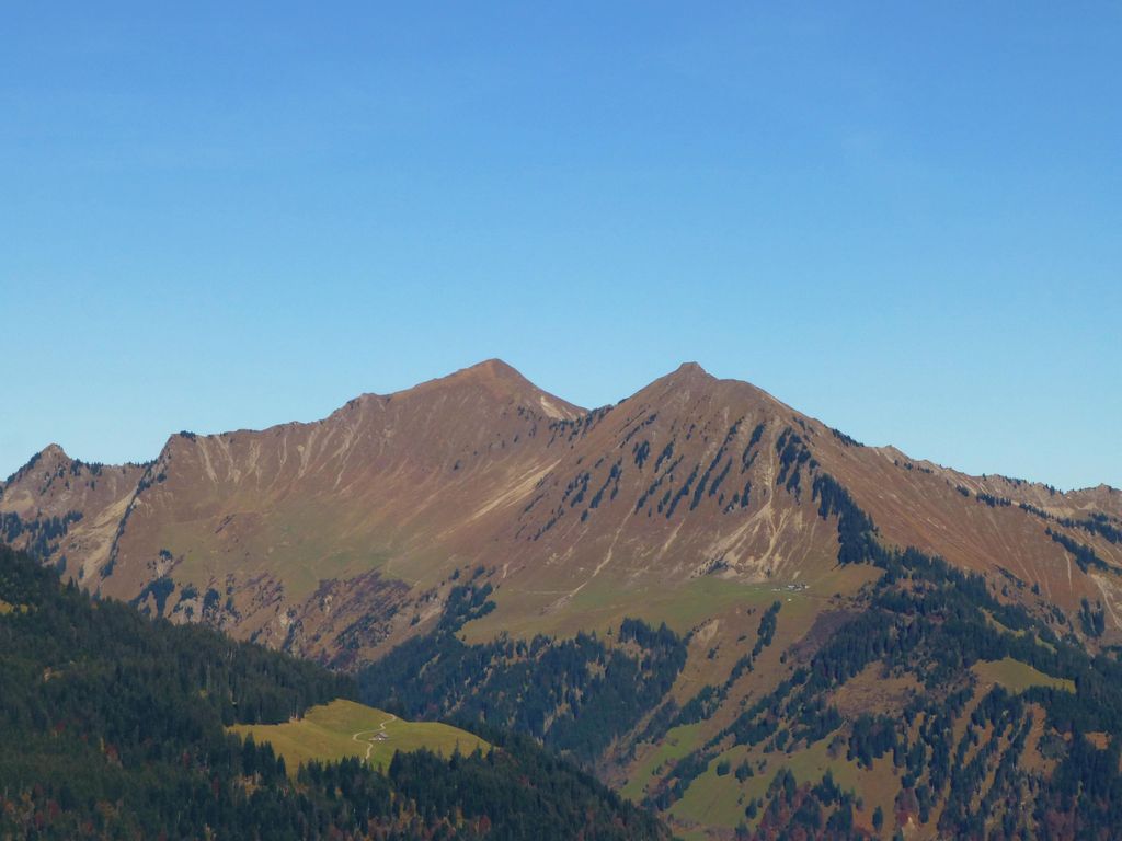
A summit on the ridge above Marul, at the edge of the Faludriga-Nova reserve.
Kellaspitze
A summit reached by exposed, cable-secured ground above Marul.
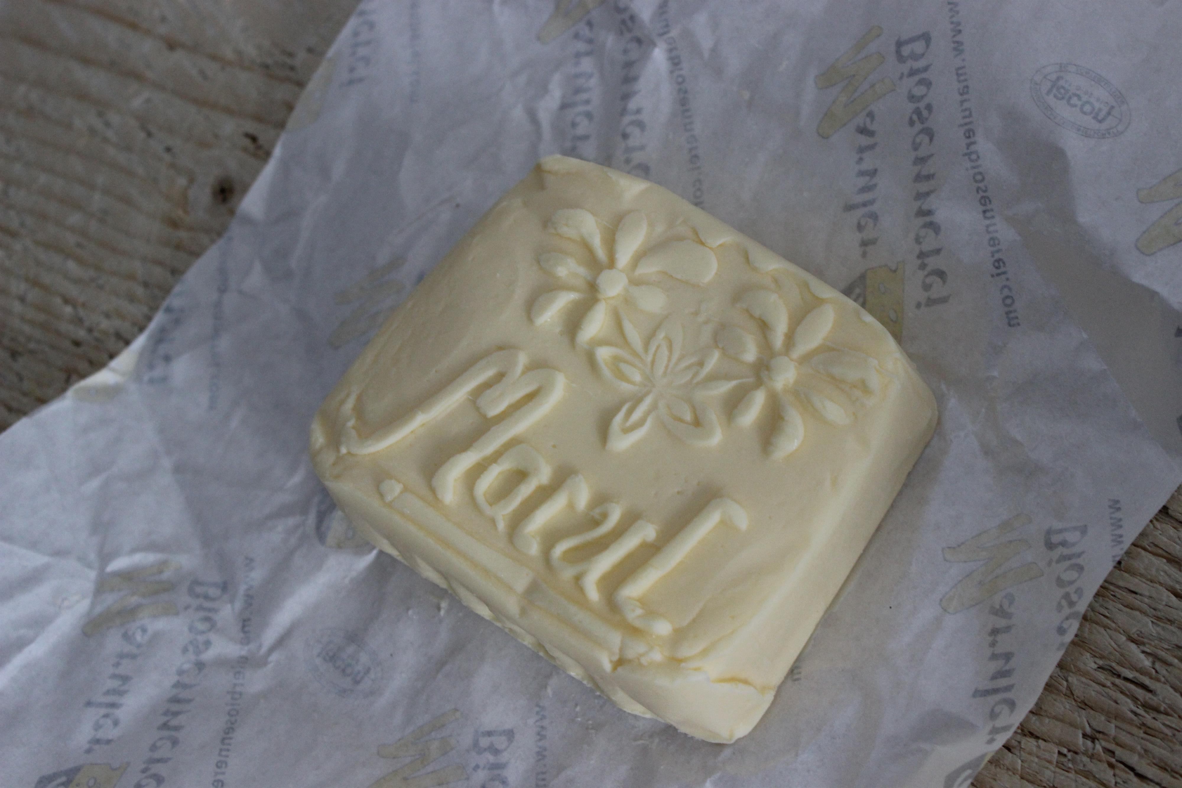
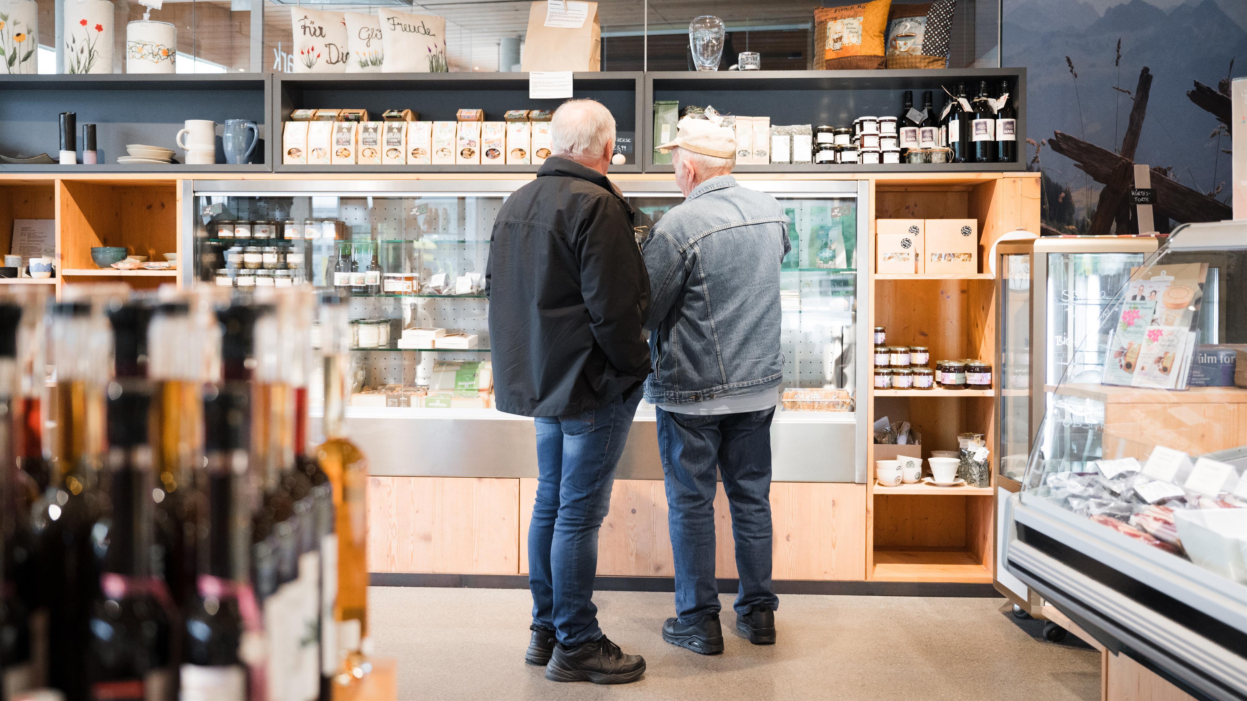
Maruler Biosennerei
The dairy at Marul still makes cheese the way the valley always did.
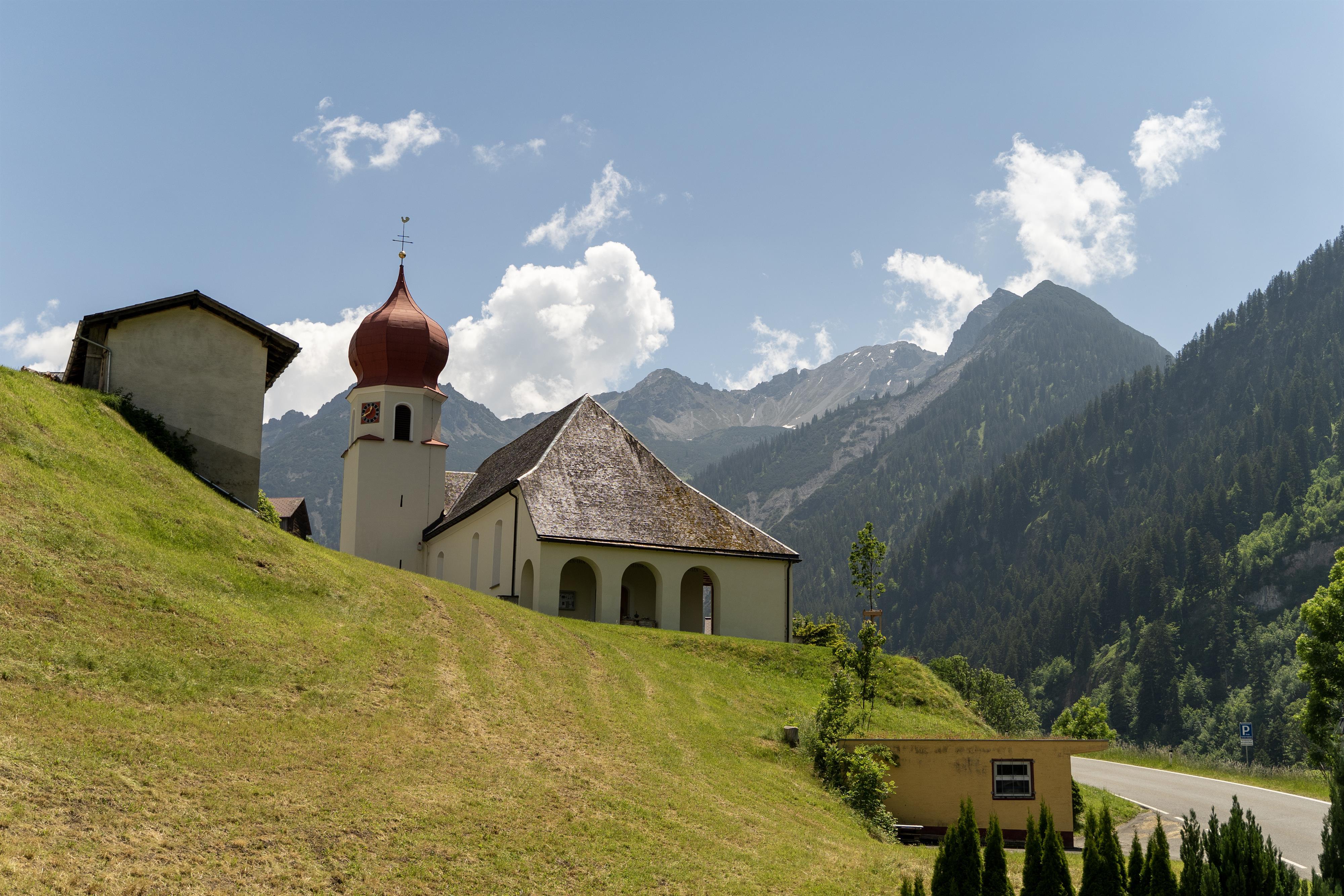
Pfarrkirche Hl. Katharina
The church of Marul, the higher of the municipality's two villages.
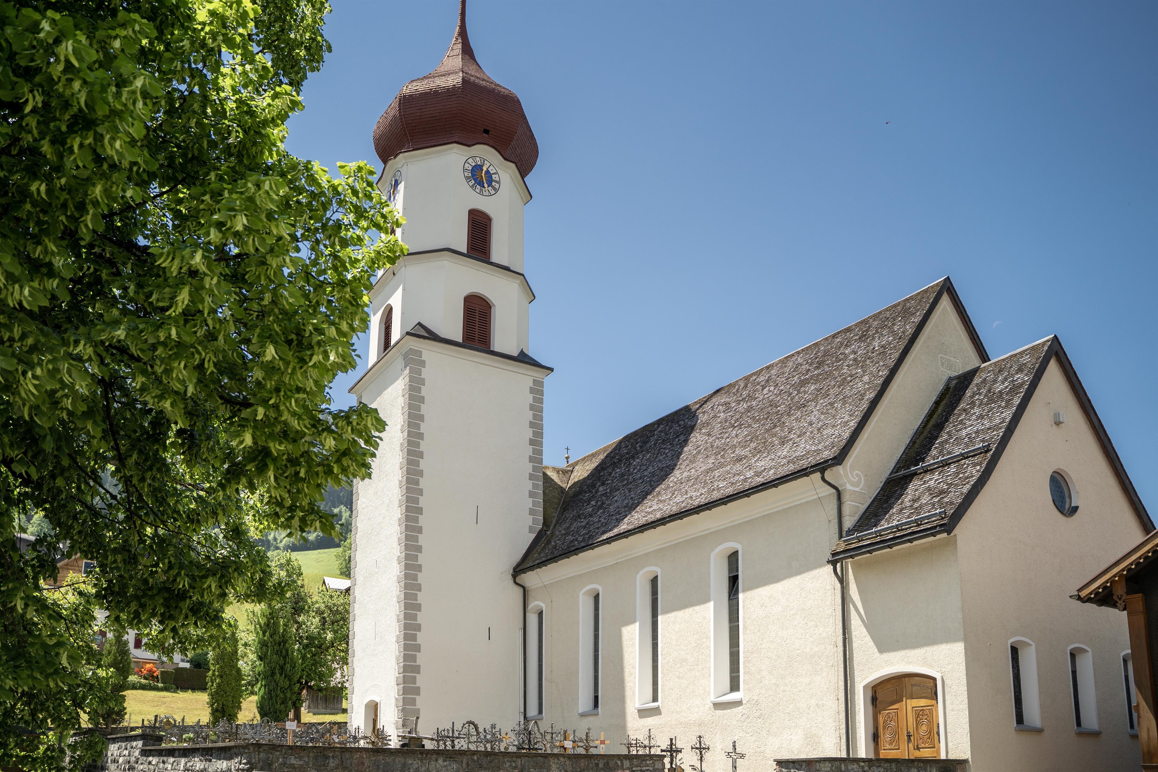
Pfarrkirche zu Sankt Nikolaus und Theodul
The parish church of Raggal, on the sunny terrace above the Lutz.
Gamsfreiheit
2.6 km away, in Bludenz
The high point of the ridge above the Muttersberg, looking into three valleys at once.
Alpe Unterpartnom
4.5 km away, in Sonntag
The lower of the two Partnom alps, on the mountain-bike round from Marul down to Sonntag.
Pfarrkirche Mariä Unbefleckte Empfängnis
4.7 km away, in Blons
The parish church of Blons, on the terrace the village was rebuilt around.
biosphärenpark.haus
4.8 km away, in Sonntag
The visitor centre of the UNESCO biosphere reserve, and the place to understand what the core zones protect.
Fraßenhütte
5.2 km away, in Nüziders
The Alpine Club refuge below the Hohe Fraßen, run by the Vorarlberg section.
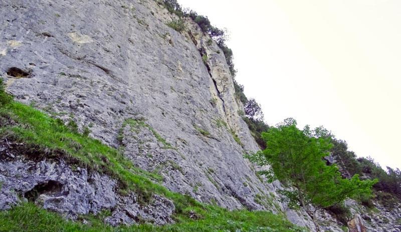
Klettergarten Wandfluh
5.3 km away, in Sonntag
The climbing garden on the Wandfluh at Sonntag-Stein, beside the via ferrata.
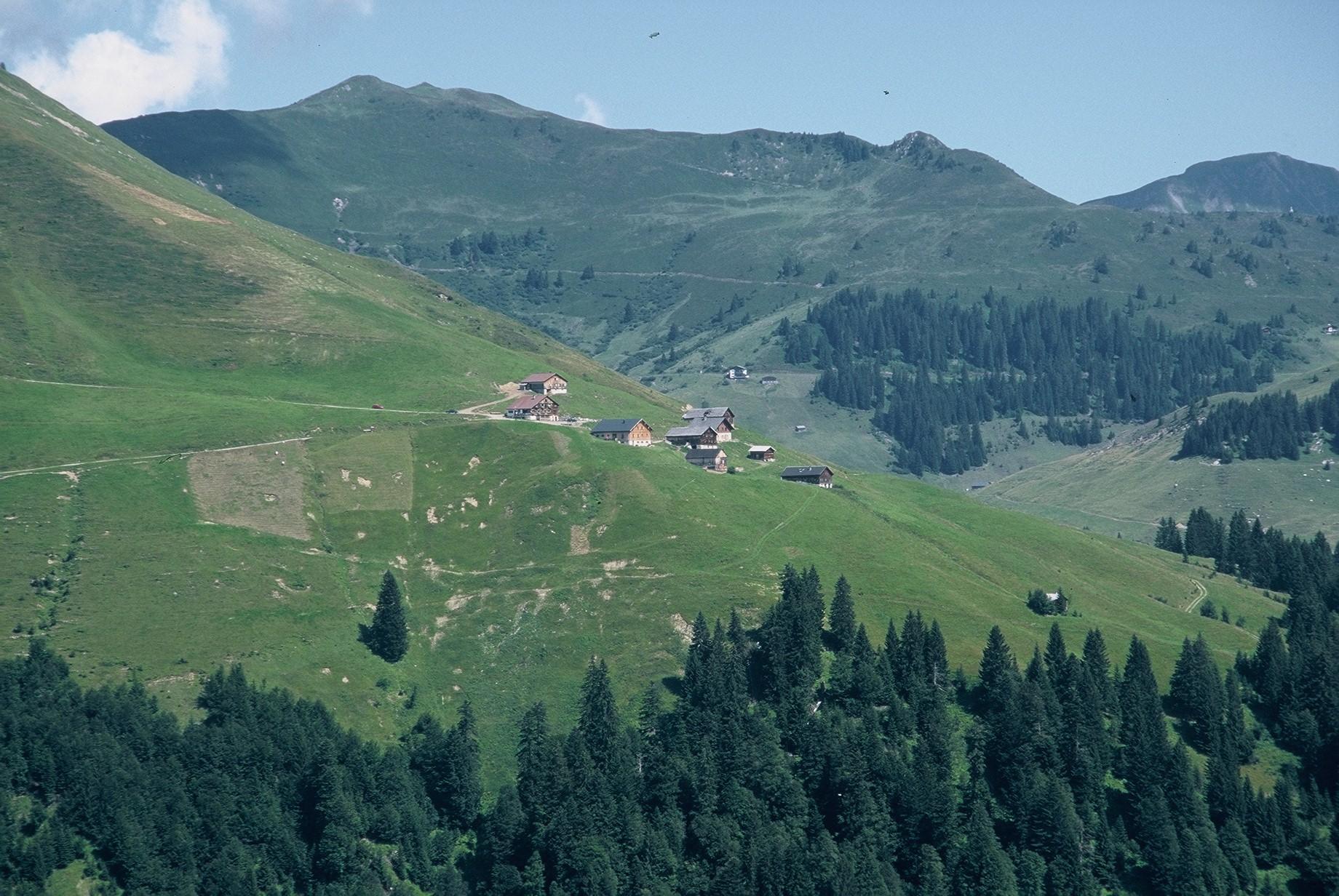
Alpe Sera
5.4 km away, in Blons
A working alp under the Walserkamm, inside the Große Walsertal biosphere reserve.
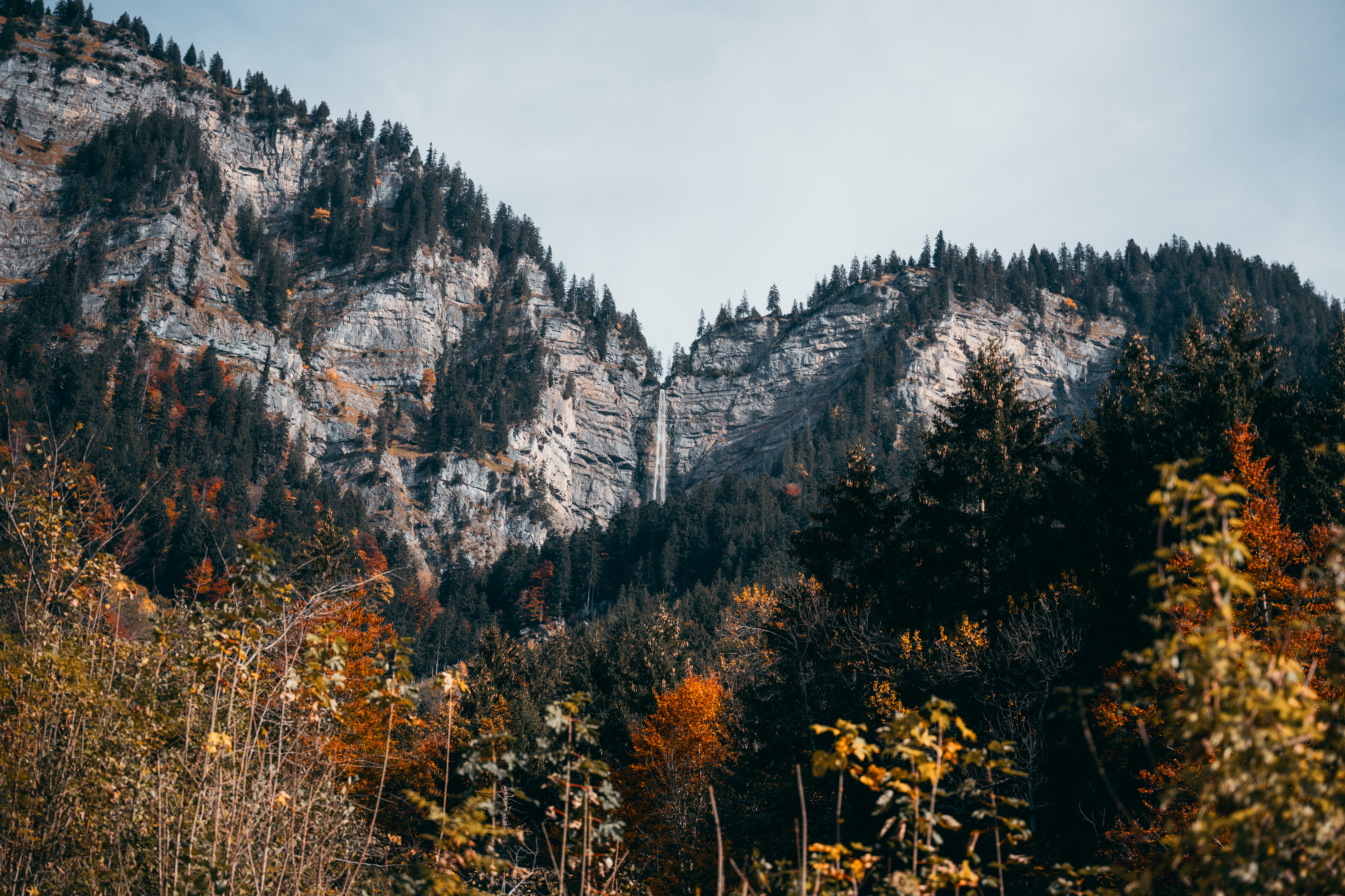
Mason-Wasserfall
5.4 km away, in Innerbraz
One of the tallest waterfalls in Vorarlberg, a protected natural monument above Braz.
PeakVisor / OpenStreetMap
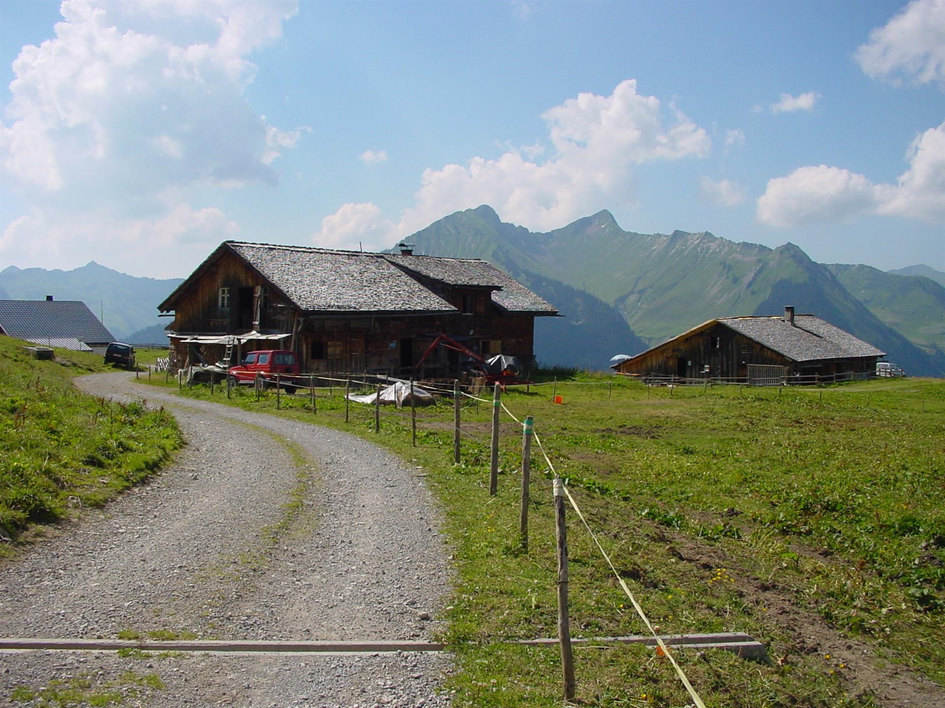
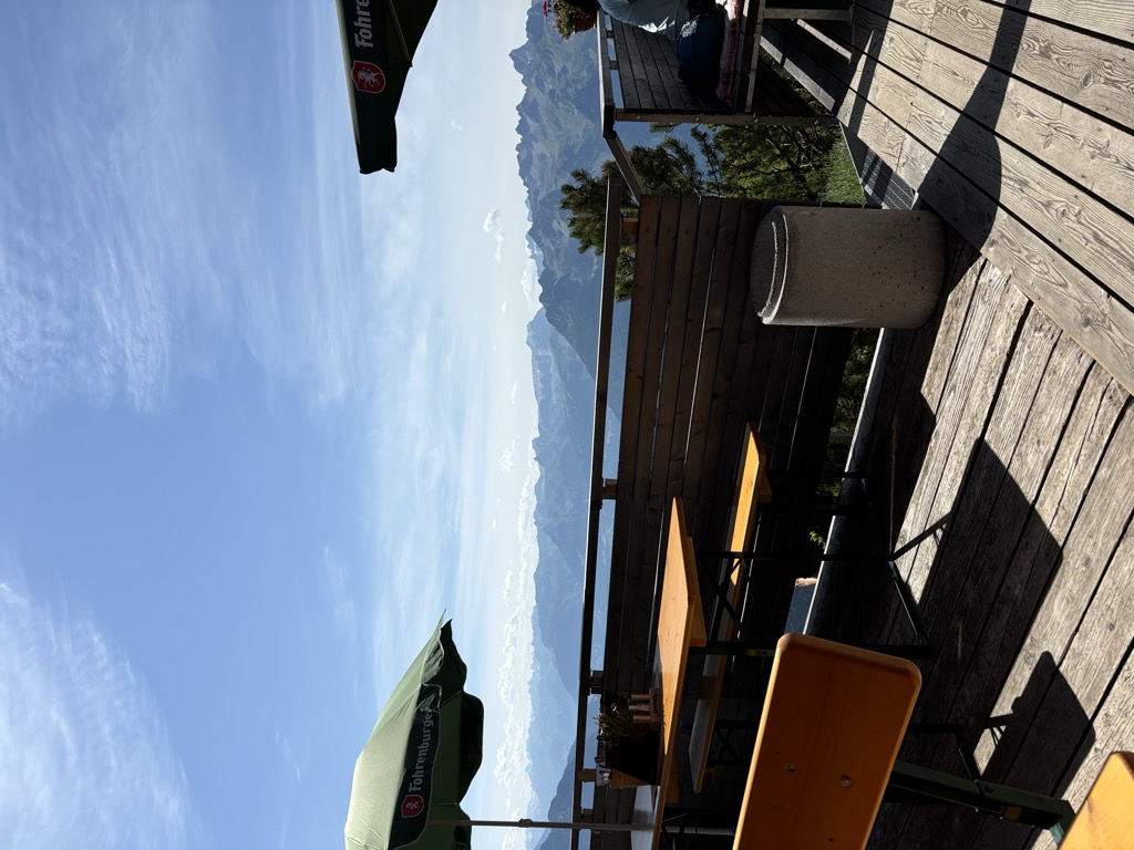
 Mountain hut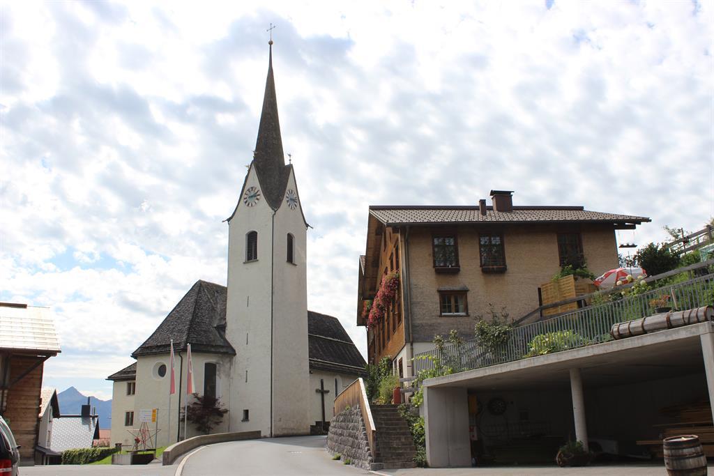
Nothing of this kind in Raggal.
Routes
Raggal - Ludescherberg
A simple winter round from Raggal out to the Ludescherberg and back.
- 6.0 km
- Distance
- 167 m
- Ascent
- 1 h 49 min
- Duration
Open route Alpenregion Vorarlberg2-Tages-Hüttentour Frassenhütte (Etappe 2)
The second day of the Frassenhütte round, the descent from the hut into the Walsertal.
- 7.5 km
- Distance
- 305 m
- Ascent
- 3 h 48 min
- Duration
Open route Alpenregion Vorarlberg2-Tages-Hüttentour Frassenhütte
Two days through the Faludriga Nova reserve with a night at the Frassenhütte.
- 22.0 km
- Distance
- 1 629 m
- Ascent
- 11 h 2 min
- Duration
Open route Alpenregion VorarlbergMarul - Guggernülli
Guggernülli from Marul: 753 m of climbing in 2.9 km, topping out at 1,727 m.
- 2.4 km
- Distance
- 0 m
- Ascent
- 0 m
- Descent
- 35 min
- Duration
Open route PeakVisor tTRL (OpenStreetMap piste_type=skitour)Marul - Lusgrind
1,236 m on skis from Marul to Lusgrind, 9.9 km with its high point at 2,277 m.
- 8.4 km
- Distance
- 0 m
- Ascent
- 0 m
- Descent
- 2 h 3 min
- Duration
Open route PeakVisor tTRL (OpenStreetMap piste_type=skitour)5-Täler Mountainbike-Stern-Tour (Etappe 3)
The third day of the five-valley star round, the shortest of the four legs.
- 32.6 km
- Distance
- 1 152 m
- Ascent
- 3 h 59 min
- Duration
Open route Alpenregion Vorarlberg2-Tages-Hüttentour Freiburger Hütte (Etappe 2)
The second day of the Freiburger Hütte round, back down through the reserve to Marul.
- 14.9 km
- Distance
- 427 m
- Ascent
- 5 h 41 min
- Duration
Open route Alpenregion Vorarlberg2-Tages-Hüttentour Frassenhütte (Etappe 1)
The first day of the Faludriga Nova round, climbing out of Marul to the Frassenhütte.
- 14.6 km
- Distance
- 1 327 m
- Ascent
- 7 h 14 min
- Duration
Open route Alpenregion VorarlbergPartnunalpe - Lusgrind
From Partnunalpe at 1,578 m, 6.9 km and 856 m of climbing to Lusgrind at 2,277 m.
- 6.6 km
- Distance
- 0 m
- Ascent
- 0 m
- Descent
- 1 h 36 min
- Duration
Open route PeakVisor tTRL (OpenStreetMap piste_type=skitour)5-Täler Mountainbike-Tour (Etappe 3)
The third stage of the five-valley tour, the longest of the four days.
- 41.3 km
- Distance
- 1 251 m
- Ascent
- 5 h 12 min
- Duration
Open route Alpenregion Vorarlberg2-Tages-Hüttentour Klesenzaalpe (Etappe 1)
The climb to the Klesenzaalpe, first day of the biosphere-reserve round.
- 7.1 km
- Distance
- 794 m
- Ascent
- 4 h 49 min
- Duration
Open route Alpenregion Vorarlberg2-Tages-Hüttentour Freiburger Hütte
Two days through the Faludriga Nova reserve with a night at the Freiburger Hütte.
- 28.8 km
- Distance
- 1 586 m
- Ascent
- 11 h 17 min
- Duration
Open route Alpenregion VorarlbergAlpe Laguz - Partnom Alpen - Sonntag
One of the best rides in the valley, past the Laguz and the two Partnom alps and down to Sonntag.
- 29.7 km
- Distance
- 1 313 m
- Ascent
- 3 h 52 min
- Duration
Open route Alpenregion Vorarlberg2-Tages-Hüttentour Klesenzaalpe (Etappe 2)
The second day of the Klesenzaalpe round, the long descent back to Marul.
- 14.4 km
- Distance
- 628 m
- Ascent
- 5 h 56 min
- Duration
Open route Alpenregion Vorarlberg2-Tages-Hüttentour Freiburger Hütte (Etappe 1)
The climb out of Marul to the Freiburger Hütte, first day of the Faludriga Nova round.
- 13.8 km
- Distance
- 1 175 m
- Ascent
- 5 h 41 min
- Duration
Open route Alpenregion VorarlbergAussichtsreiche Rennradrunde von Bludenz über Garsella
A road-bike round from Bludenz to Raggal by Garsella, returning over St. Gerold and Thüringerberg.
- 37.5 km
- Distance
- 743 m
- Ascent
- 4 h 2 min
- Duration
Open route Vorarlberg TourismusEntlang des Marulbaches zur Fuchswaldalpe
An easy walk along the Marulbach up to the Fuchswaldalpe.
- 8.9 km
- Distance
- 277 m
- Ascent
- 2 h 46 min
- Duration
Open route Alpenregion Vorarlberg2-Tages-Hüttentour Klesenzaalpe
Two days in the Große Walsertal biosphere reserve with a night at the Klesenzaalpe.
- 21.9 km
- Distance
- 1 365 m
- Ascent
- 10 h 31 min
- Duration
Open route Alpenregion VorarlbergRund ums Breithorn
Alp to alp by mountain bike, a full circle around the geographic centre point of Vorarlberg.
- 31.6 km
- Distance
- 1 495 m
- Ascent
- 4 h 14 min
- Duration
Open route Alpenregion VorarlbergWanderung in der Kernzone Faludriga-Nova
Into the Faludriga-Nova core zone to the Schwarze Furka, ringed by untouched mountain country.
- 10.2 km
- Distance
- 628 m
- Ascent
- 5 h 10 min
- Duration
Open route Alpenregion Vorarlberg3-Tages-Hüttentour Faludriga Nova
Three days from the Muttersberg cable car over the Frassenhütte and the Freiburger Hütte down to Außerbraz.
- 33.9 km
- Distance
- 2 830 m
- Ascent
- 18 h
- Duration
Open route Alpenregion Vorarlberg3-Tages-Hüttentour Faludriga Nova (Etappe 2)
The middle day of the Faludriga Nova hut round, high between the Frassenhütte and the Freiburger Hütte.
- 17.1 km
- Distance
- 1 274 m
- Ascent
- 7 h 59 min
- Duration
Open route Alpenregion Vorarlberg3-Tages-Tour Göppinger und Freiburger Hütte (Etappe 3)
The last day of the three-day round, dropping from the Freiburger Hütte back to Buchboden.
- 16.8 km
- Distance
- 477 m
- Ascent
- 6 h 14 min
- Duration
Open route Alpenregion VorarlbergKellaspitze 2.017 m
The Kellaspitze at 2,017 m, with some exposed and cable-secured passages before the summit.
- 9.6 km
- Distance
- 991 m
- Ascent
- 6 h 3 min
- Duration
Open route Alpenregion VorarlbergMarul - Alpe Faludriga - Schwarze Furka - Alpe Laguz
A demanding crossing from Marul over the Schwarze Furka to the Alpe Laguz, right through the Faludriga-Nova core zone.
- 14.4 km
- Distance
- 1 510 m
- Ascent
- 8 h 3 min
- Duration
Open route Alpenregion VorarlbergVon Raggal auf den Hohen Frassen 1.979 m
From Raggal by the Klesialpe to the Hohe Frassen at 1,979 m, returning over the Nitzkopf.
- 9.7 km
- Distance
- 972 m
- Ascent
- 5 h 59 min
- Duration
Open route Alpenregion Vorarlberg


No routes of this kind in Raggal yet.
Planning a trip to Raggal?
Everything else Vorarlberg has, in one place


Take Raggal with you into the mountains
Every route on this page with 3D terrain, GPX navigation and offline maps — including the valleys with no signal.
Data sources
- Official website: raggal.net ↗
- Routes and highlights: Alpenregion Vorarlberg, PeakVisor / OpenStreetMap, PeakVisor tTRL (OpenStreetMap piste_type=skitour), Vorarlberg Tourismus
- Published as open data by the tourist boards named above.
- Region summary generated from the board's own material.
