
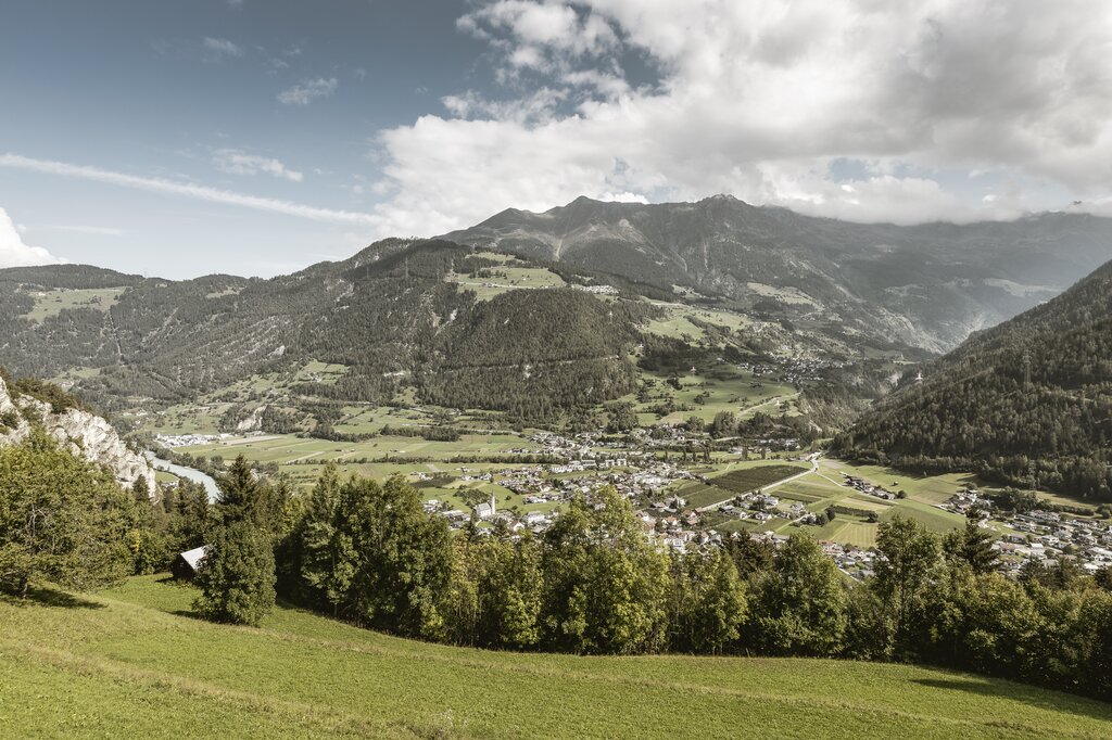
Curated by Serfaus-Fiss-Ladis
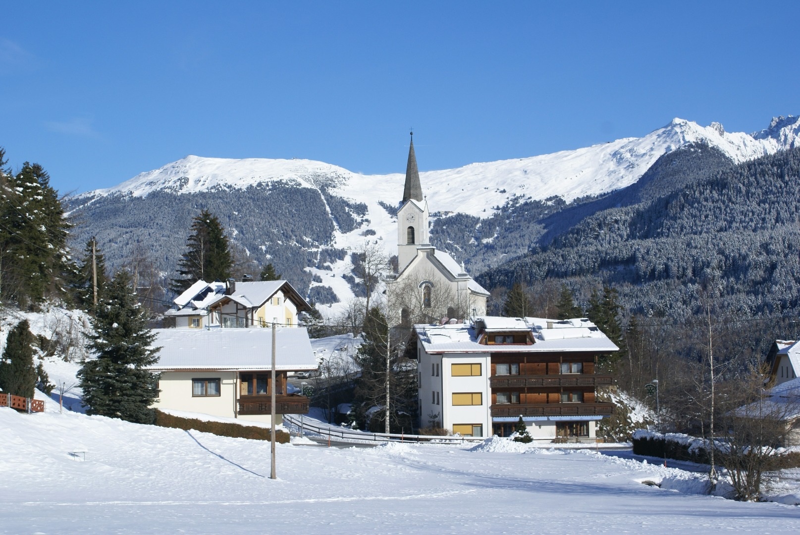
Prutz
At the mouth of the Kaunertal on the upper Inn at 864 m, a crossroads village below the Laudegg castle and the via ferrata up to Ladis.
- 15Highlights
- 18Routes
Highlights
All 15 from neighbouring places
Café Obladis
1.9 km away, in Ladis
A café at Obladis, the hamlet in the woods above Ladis known for its old mineral spring, at the quiet edge of Serfaus-Fiss-Ladis.
Canyoning mit H2O Adventure
2.2 km away, in Ried im Oberinntal
Guided canyoning with H2O Adventure from St. Anton am Arlberg, abseiling and sliding through water-carved alpine gorges.
Rafting mit H2O Adventure
2.2 km away, in Ried im Oberinntal
A rafting programme run by H2O Adventure from St. Anton am Arlberg, taking boats down the whitewater of nearby alpine rivers.
H2O Adventure
2.2 km away, in Ried im Oberinntal
A canyoning gorge near Ried im Oberinntal used for guided tours, with pools, slides and abseils in the rock channel.
Aussichtsplattform Gacher Blick
4.1 km away, in Fließ
A barrier-free viewing platform on the Piller saddle, projecting over the slope above the Inn valley.
Ausstellung Magie der Vielfalt
4.2 km away, in Fließ
An exhibition at the Piller saddle on the biological diversity of the Kaunergrat nature park.
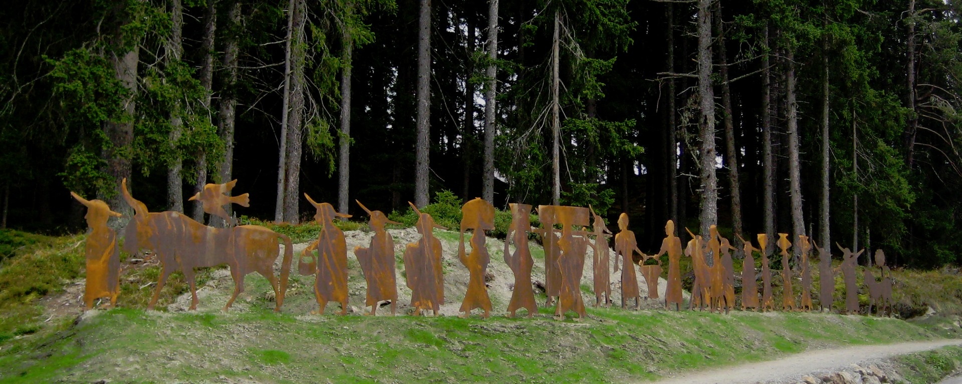
Brandopferplatz Piller Sattel
4.5 km away, in Fließ
A prehistoric burnt-offering site on the Piller saddle, in use from the Bronze Age into the Roman period.
Piller Moor
5 km away, in Fließ
A raised bog on the Piller saddle at about 1,500 m, a protected relic of the post-glacial landscape.
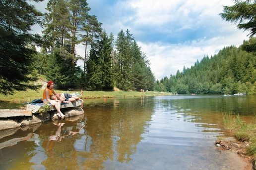
Landschaftsteich Piller
5.8 km away, in Fließ
A small landscaped pond on the Piller saddle, part of the Kaunergrat nature park's visitor area.
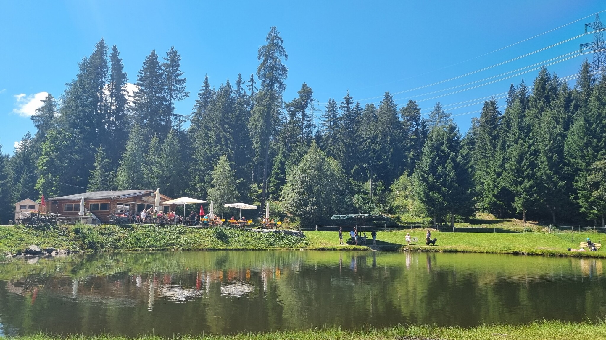
Jausenstation Fischteich Piller (1.400 m)
6.2 km away, in Fließ
A snack station at 1,400 m beside the fishing pond on the Piller saddle.
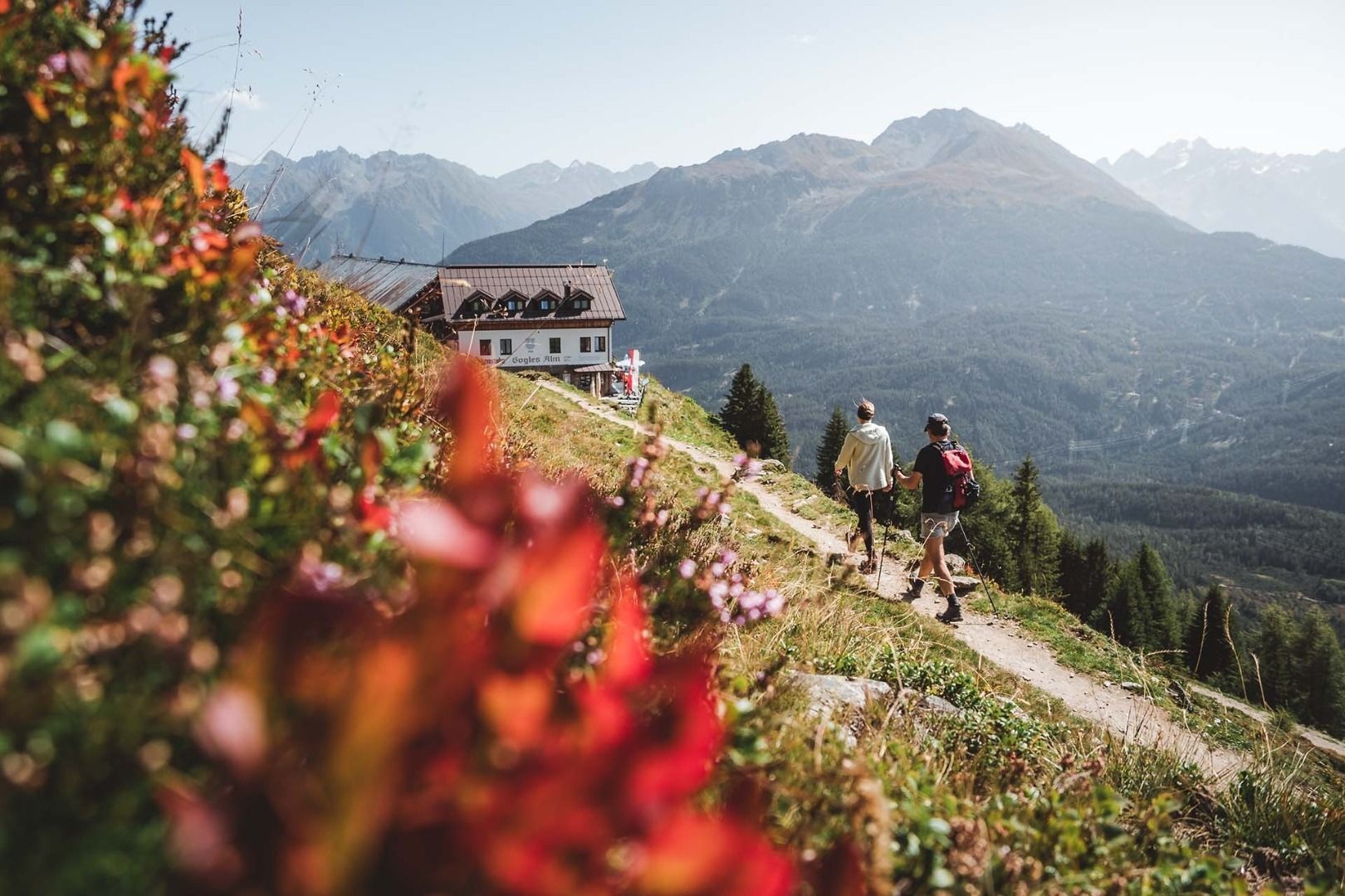
Gogles Alm (2.017m)
6.6 km away, in Fließ
An alpine pasture at 2,017 m on the Venet ridge, reached on foot from the Piller saddle.
Kaplaneikirche Maria Schnee in Piller
6.7 km away, in Fließ
The chaplaincy church of Piller, dedicated to Our Lady of the Snows.
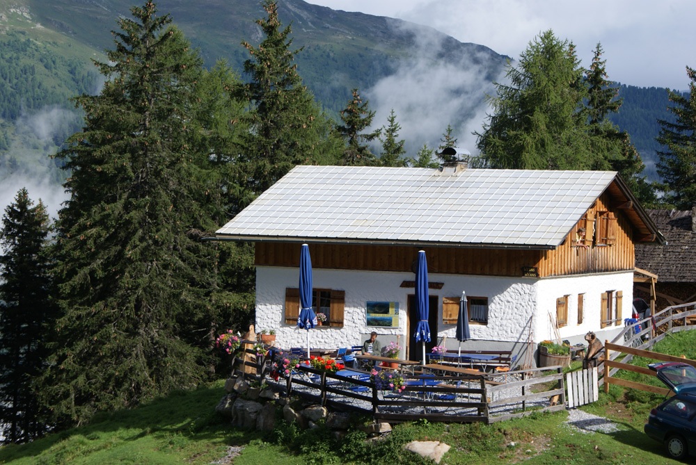
Kielebergalm (1.767 m)
6.8 km away, in Wenns
An alpine pasture at 1,767 m between the Piller saddle and the Pitztal.
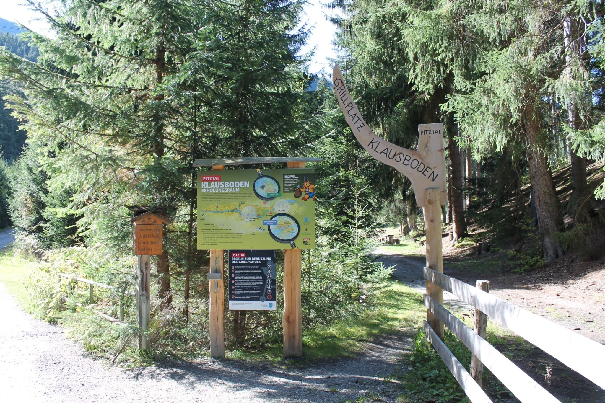
Erholungsraum Klausboden
7 km away, in Wenns
A quiet recreation area at Klausboden on the Piller plateau, with benches and short walking loops.
Straßberg Alm (1.730 m)
7.7 km away, in Jerzens
An alpine pasture at 1,730 m on the western slope of the middle Pitztal.
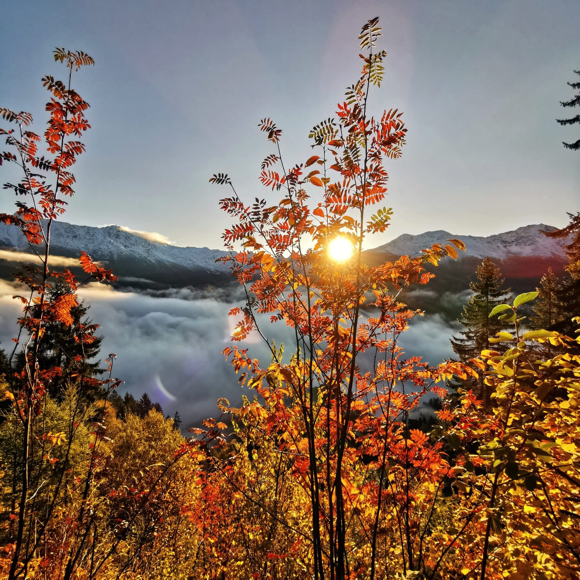
 Mountain hut
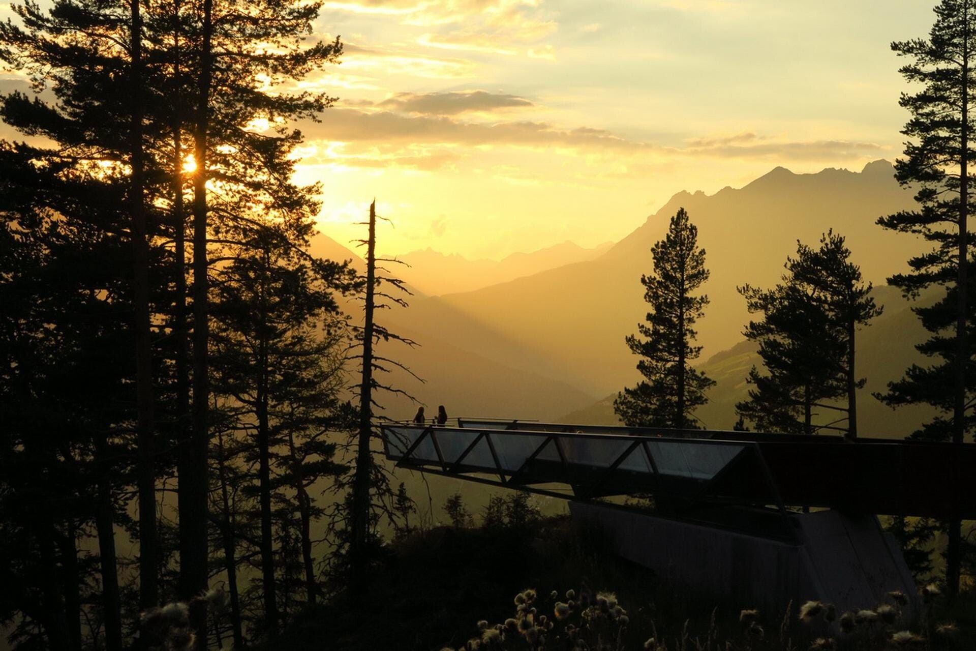
 Viewpoint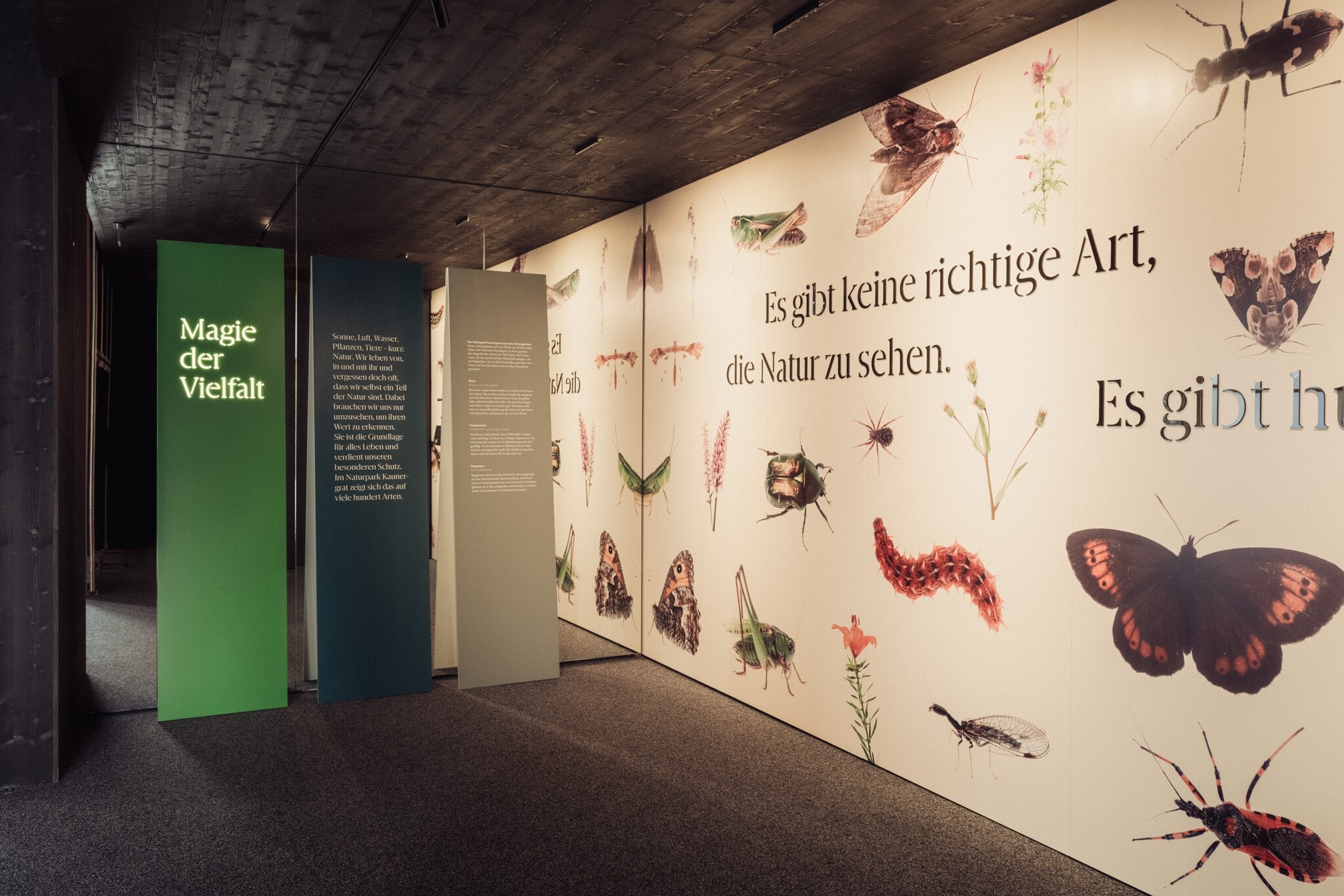
 Historic site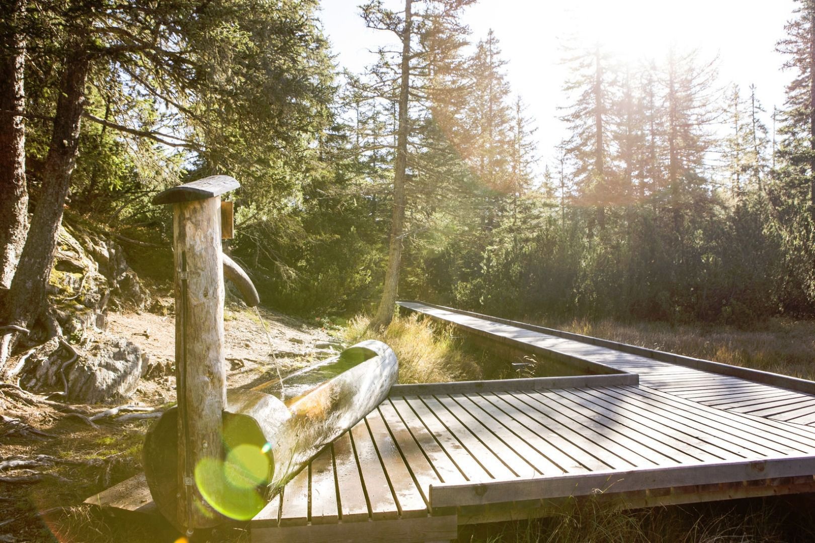
Nothing of this kind in Prutz.
Routes
Klettersteig Ladis
Beginner-friendly via ferrata on the crag beside Ladis, climbing 115 m of secured rock within a short walk of the village and Laudeck castle.
- 667 m
- Distance
- 115 m
- Ascent
- 49 min
- Duration
Laudecksteig
Short practice via ferrata below the castle rock at Ladis, an easy line that pairs naturally with the neighbouring village steigs.
- 611 m
- Distance
- 88 m
- Ascent
- 38 min
- Duration
Pons Laudes Steig
The shortest of the Ladis via ferratas, a gentle introduction of under 50 climbing metres - suited to first-timers before trying the longer lines nearby.
- 535 m
- Distance
- 48 m
- Ascent
- 23 min
- Duration
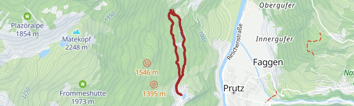
Laudeck Sauerbrunn Rundsteig
Easy round linking the Laudeck castle knoll with the old Sauerbrunn mineral spring at Obladis, a short but surprisingly steep circuit above Ladis.
- 4.3 km
- Distance
- 306 m
- Ascent
- 2 h 2 min
- Duration
- 2
- Check-ins
SFL Extrem Tour 7100
Nearly 2,400 m of climbing across the Serfaus-Fiss-Ladis slopes, over the Fisser Joch and up to the Schönjöchl at 2,491 m.
- 57.3 km
- Distance
- 2 369 m
- Ascent
- 7 h 19 min
- Duration
- 133
- Check-ins
St. Anton - Kaunertaler Gletscher - St. Anton
A 104 km road ride from the Arlberg across to the Kaunertal and up the glacier road to 2,750 m, over 4,000 m of climbing in the day.
- 156.4 km
- Distance
- 4 157 m
- Ascent
- 17 h 48 min
- Duration
- 86
- Check-ins
Prutz über Römerweg
Short link from Ladis down to Prutz on the Römerweg, an almost effortless stroll off the sunny plateau terrace to the Inn valley floor.
- 1.7 km
- Distance
- 0 m
- Ascent
- 48 min
- Duration
- 2
- Check-ins
SFL Extrem Enduro Tour 7100
A big enduro traverse across the Fisser Joch and the Schönjoch, both near 2,450 m, with over 2,000 m of climbing in the day.
- 52.3 km
- Distance
- 1 825 m
- Ascent
- 6 h 22 min
- Duration
- 125
- Check-ins
Kaunertaler Gletscher Runde
A hard road circuit up the Kaunertal glacier road to 2,750 m, one of the highest paved climbs in Tirol.
- 98.7 km
- Distance
- 3 000 m
- Ascent
- 11 h 35 min
- Duration
- 60
- Check-ins
Asterhöfe über Greitweg - Neuegg
Short plateau link on the Greitweg from the Asterhöfe to Neuegg, easy walking through meadows between Ladis and Fiss.
- 3.4 km
- Distance
- 110 m
- Ascent
- 1 h 3 min
- Duration
Asterhöfe Tour 759
A long mountain-bike tour off the Serfaus terrace to Prutz and Ried at 870 m in the Oberinntal, then back up through Fiss.
- 29.3 km
- Distance
- 957 m
- Ascent
- 3 h 30 min
- Duration
- 17
- Check-ins
Piller Runde
A long road loop over the Pillerhöhe, dropping to Prutz in the Inn valley and climbing again to Fiss, with over 2,000 m of ascent.
- 83.9 km
- Distance
- 2 090 m
- Ascent
- 9 h 25 min
- Duration
- 33
- Check-ins
Greitweg
Mostly level stretch of farmland path across the plateau, a quiet connector between the villages with wide views over the Inn valley.
- 3.8 km
- Distance
- 108 m
- Ascent
- 1 h 9 min
- Duration
Hochgallmigg Enduro Tour 758
An enduro tour to Hochgallmigg over the Falterjöchl, taking in the Mannawald hut at 1,541 m.
- 47.1 km
- Distance
- 1 484 m
- Ascent
- 5 h 38 min
- Duration
- 5
- Check-ins
Talrunde
A valley circuit in the Oberinntal between Ried and Prutz, passing the campsite at the Dreiländereck and the lake restaurant at 883 m.
- 42.9 km
- Distance
- 750 m
- Ascent
- 4 h 31 min
- Duration
- 6
- Check-ins
Pons Laudes Steig
Abrupt climb of nearly 240 m in two-thirds of a kilometre, a knee-testing shortcut up the slope at Ladis toward the Laudeck castle area.
- 658 m
- Distance
- 200 m
- Ascent
- 1 h 13 min
- Duration
Hochgallmigg Tour 758
The shorter way to Hochgallmigg above Fließ, crossing the Falterjöchl with the Fiss lifts nearby.
- 36.7 km
- Distance
- 1 450 m
- Ascent
- 4 h 37 min
- Duration
- 5
- Check-ins
Wodeturm über Greitweg
Approach to the Wodeturm lookout by way of the Greitweg, a gentle 4 km climb past farmland to the tower and the small Wodesee.
- 4.3 km
- Distance
- 297 m
- Ascent
- 1 h 28 min
- Duration
 Wodesee 1 440 m




No routes of this kind in Prutz yet.
Planning a trip to Prutz?
Everything else Tyrol has, in one place


Take Prutz with you into the mountains
Every route on this page with 3D terrain, GPX navigation and offline maps — including the valleys with no signal.
Data sources
- Official website: serfaus-fiss-ladis.at ↗
- Routes and highlights: Serfaus-Fiss-Ladis, Tourismusverband Pitztal, St. Anton am Arlberg, TVB Paznaun-Ischgl
- Published as open data by the tourist boards named above.
- Region summary generated from the board's own material.
