
 Cable car
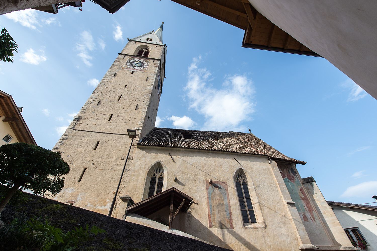
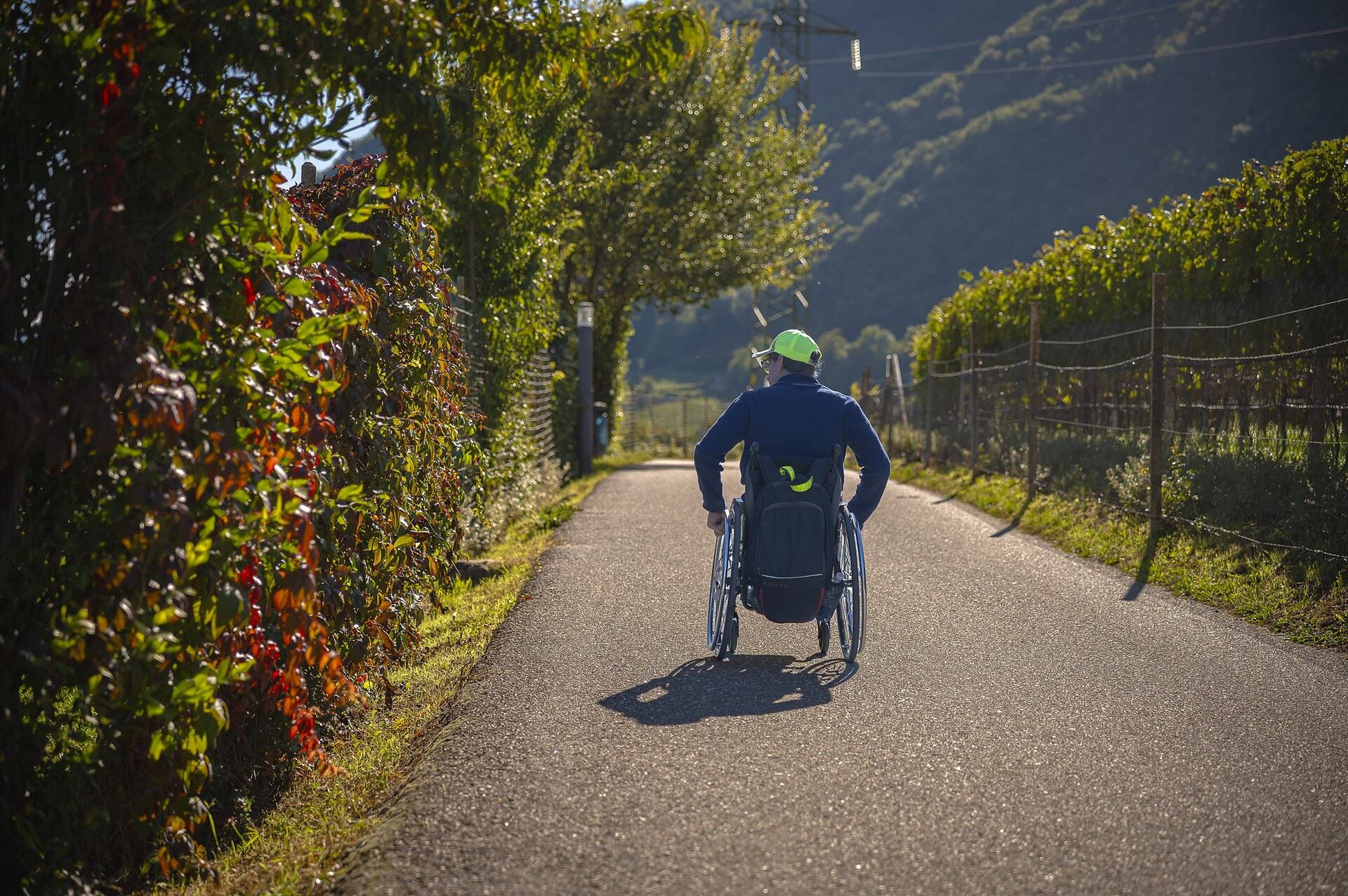













Curated by APT Val di Non
Predaia
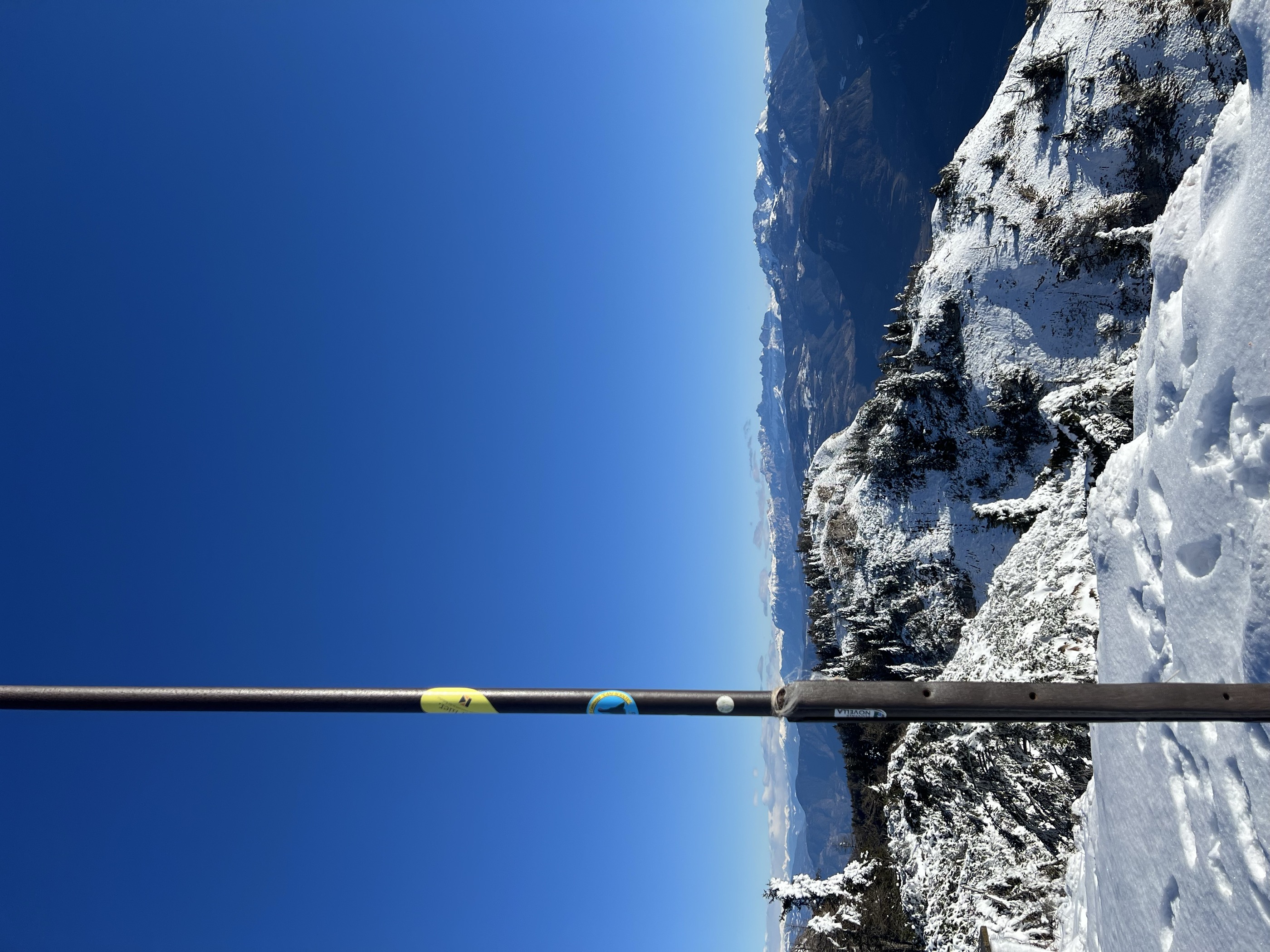
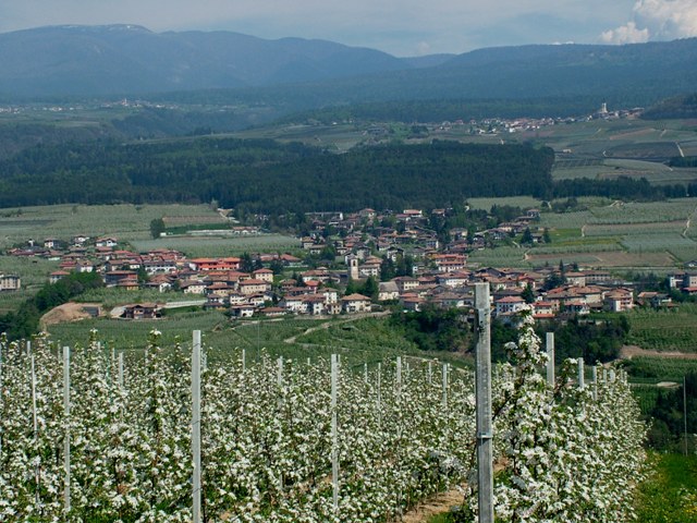
Val di Non comune formed from five villages on the apple terraces, with the Predaia forest and its lakes above.
- 15Highlights
- 43Routes
- Featured summit · Corno di Tres
Highlights
All 15 from neighbouring places
Ferrata dal rifugio Oltradige al Monte Roen
9.2 km away, in Termeno sulla strada del vino/Tramin an der Weinstraße
A via ferrata above Termeno, climbing from the Rifugio Oltradige to Monte Roen on the Mendola ridge west of the Val d'Adige.
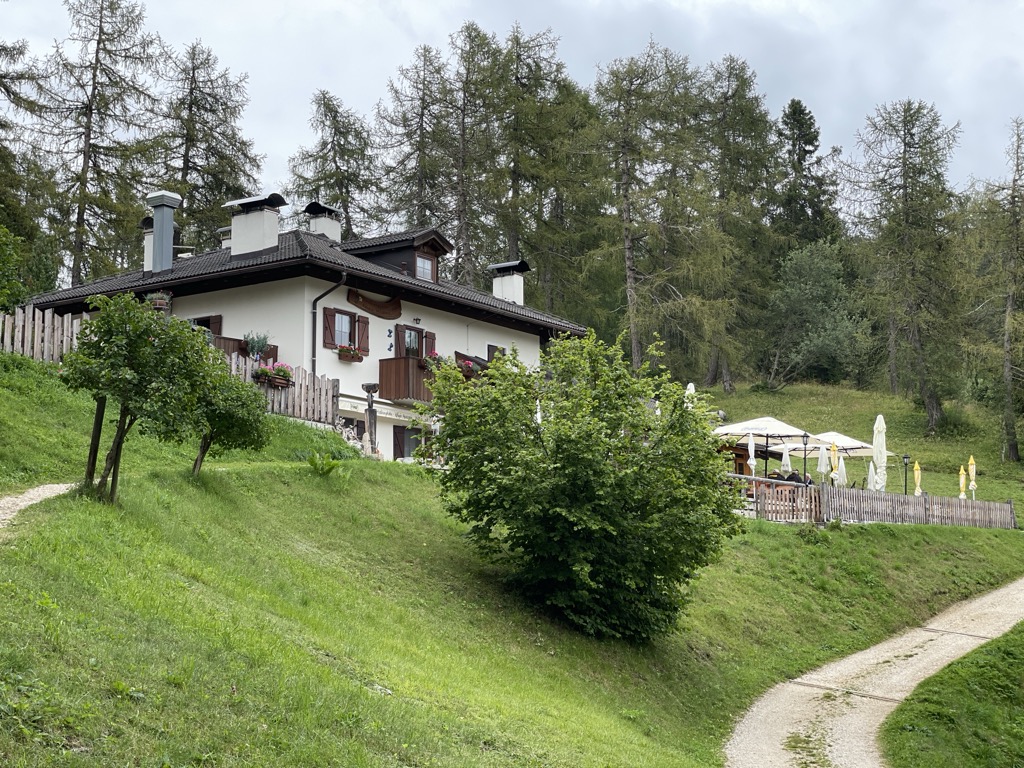
Rifugio Oltradige
9.3 km away, in Termeno sulla strada del vino/Tramin an der Weinstraße
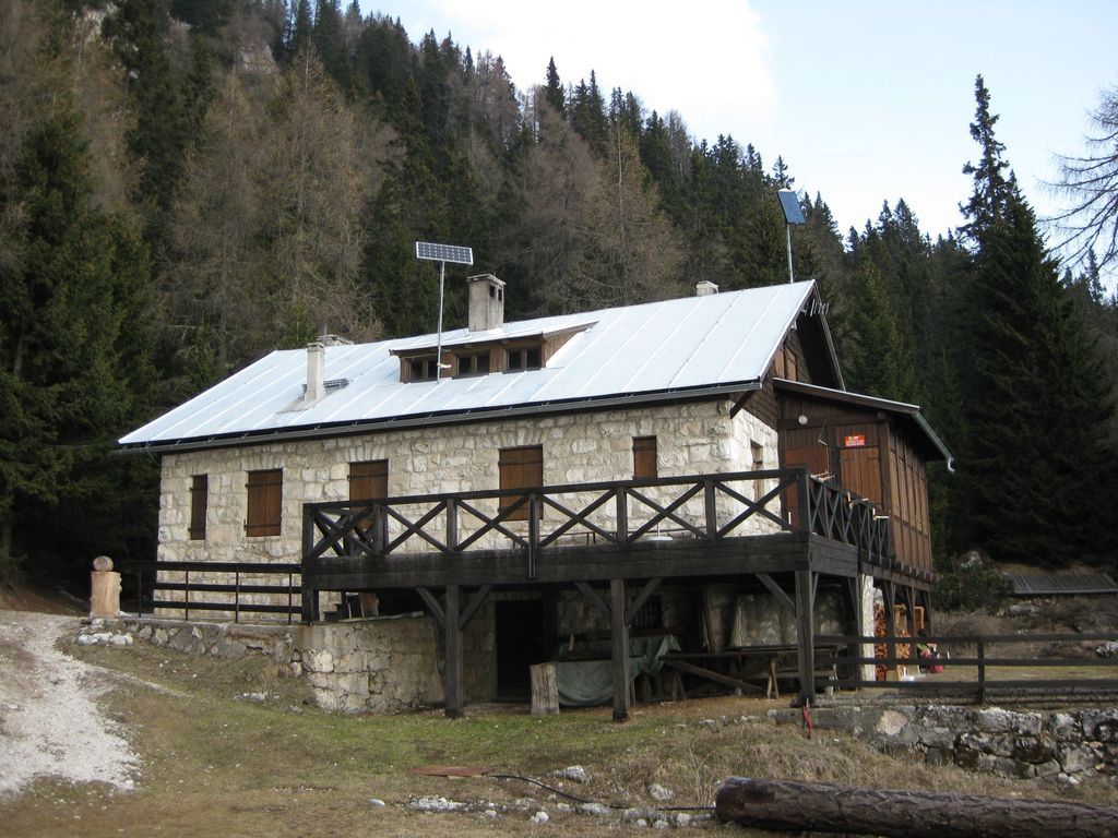
A refuge below Monte Roen on the Mendola ridge, reached from Termeno and Caldaro on the vineyard slopes of the Oltradige.
Tour in bicicletta: Lago di Caldaro
10.4 km away, in Cortaccia sulla strada del vino/Kurtatsch an der Weinstraße
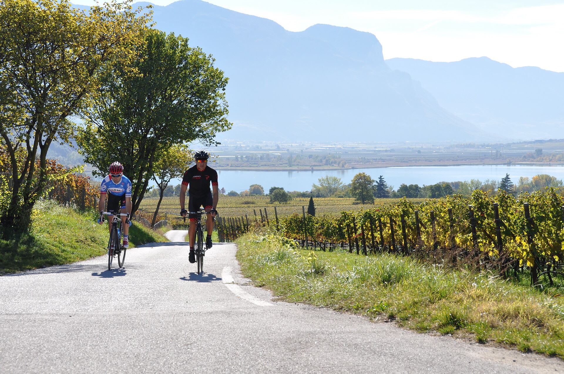
A cycle route from the Cortaccia vineyards down to the Caldaro lake, the warmest bathing lake in the Alps.
Tour in bicicletta:Lago di Monticolo- Lago di Caldaro
10.4 km away, in Cortaccia sulla strada del vino/Kurtatsch an der Weinstraße
A cycle route linking the Monticolo and Caldaro lakes through the Bassa Atesina vineyards.
Lago di Tovel
13 km away, in Ville d'Anaunia
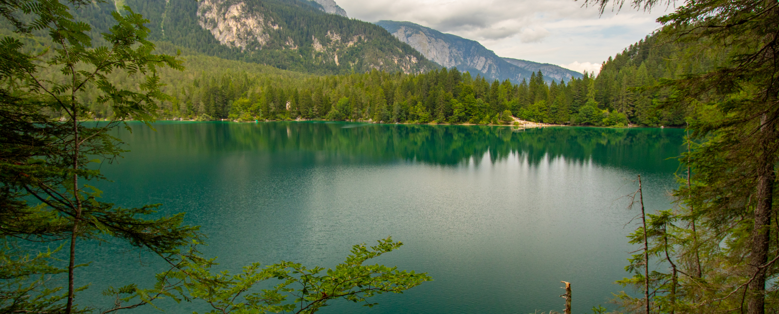
A lake at 1,178 m below the Brenta Dolomites, once famous for the red algal bloom that coloured its water.
Rifugio Mezzavia
11.4 km away, in Cavareno
A refuge on the wooded slopes above Cavareno in the Val di Non, on the way up towards Monte Roen.
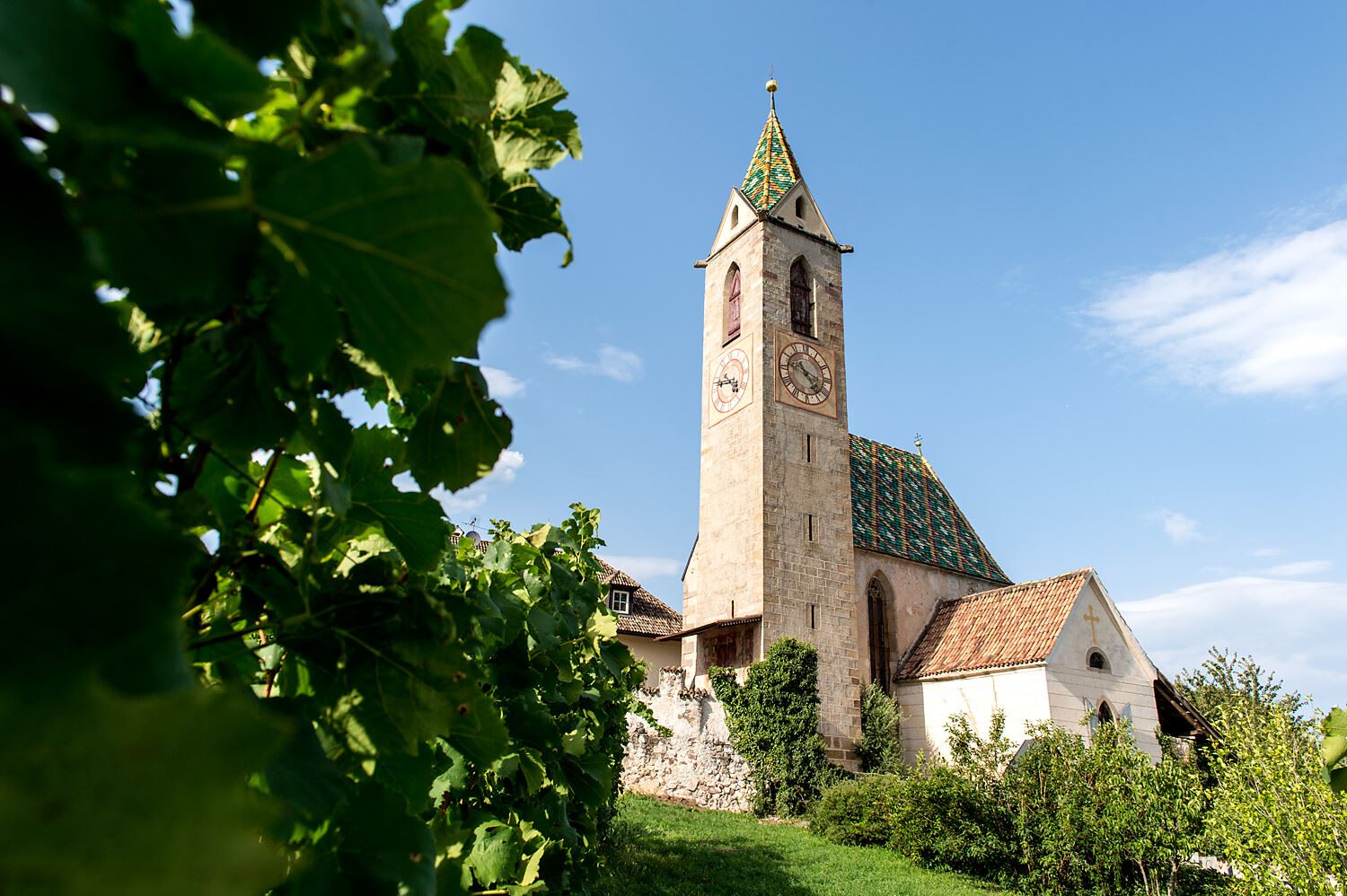
Sterzing, Pfitsch und FreienfeldChiesa S. Vigilio a Castelvecchio
12.8 km away, in Caldaro sulla strada del vino/Kaltern an der Weinstraße
The church of San Vigilio at Castelvecchio, above the Rastenbach gorge near Caldaro.
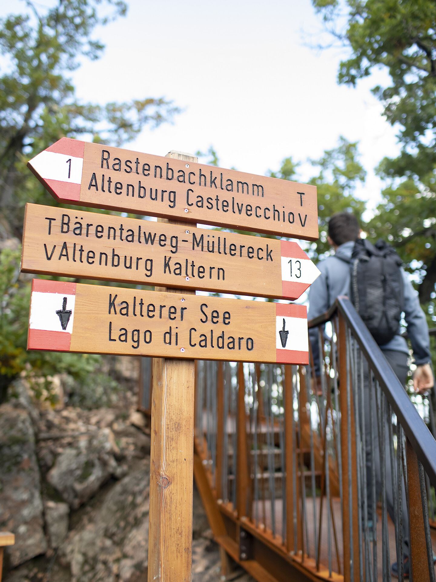
Castelvecchio (Gola Rastenbach)
12.8 km away, in Caldaro sulla strada del vino/Kaltern an der Weinstraße
The ruins of Castelvecchio above the Rastenbach gorge, on the path between Caldaro and its lake.
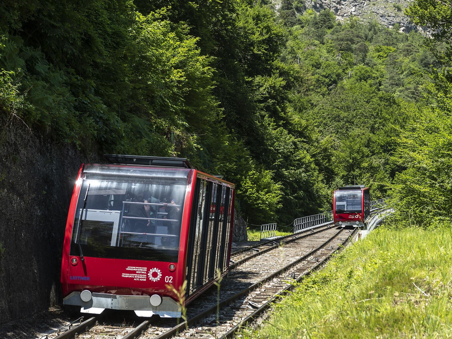
Funicolare della Mendola
13.4 km away, in Caldaro sulla strada del vino/Kaltern an der Weinstraße
The Mendola funicular, opened in 1903 and among the steepest in Europe, climbing from Caldaro to the pass at 1,363 m.
Dal Passo Mendola al rifugio Mezzavia
13.4 km away, in Caldaro sulla strada del vino/Kaltern an der Weinstraße
A walk from the Mendola pass along the ridge to the Mezzavia hut, above Lake Caldaro.
Da S. Antonio attraverso la Gola Rastenbach e il sentiero della Pace
13.6 km away, in Caldaro sulla strada del vino/Kaltern an der Weinstraße
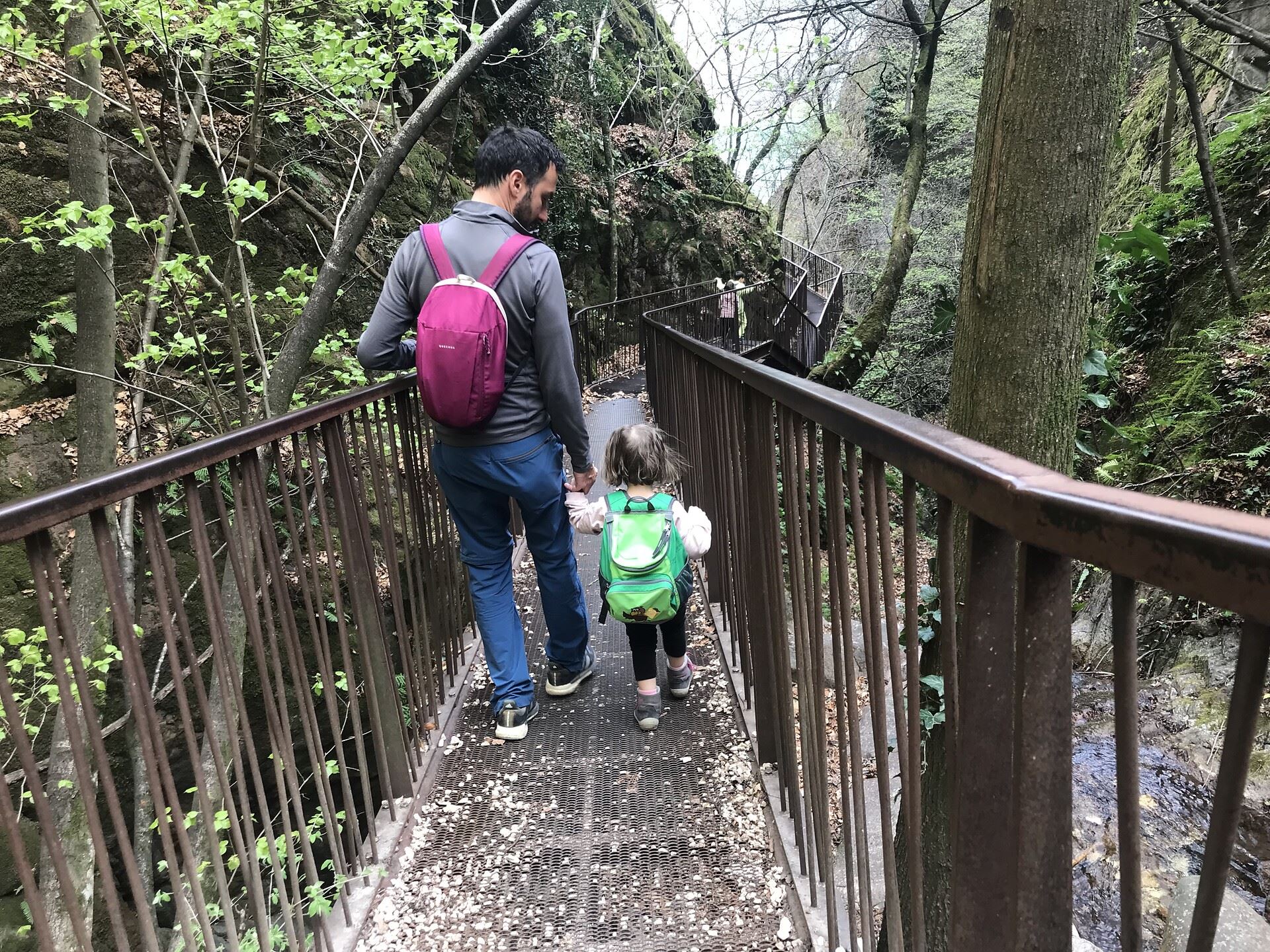
The Rastenbach gorge above Caldaro, where a stepped path passes a Romanesque chapel on the way to the lake.
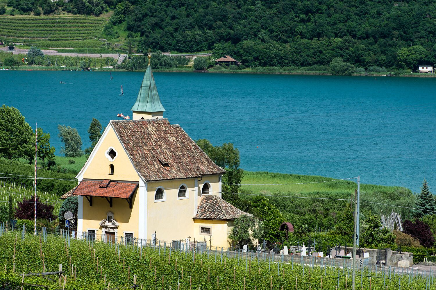
Chiesa S. Giuseppe al lago
13.6 km away, in Caldaro sulla strada del vino/Kaltern an der Weinstraße
The church of San Giuseppe on the shore of Lake Caldaro.
Thalhof al Lago
14.3 km away, in Caldaro sulla strada del vino/Kaltern an der Weinstraße
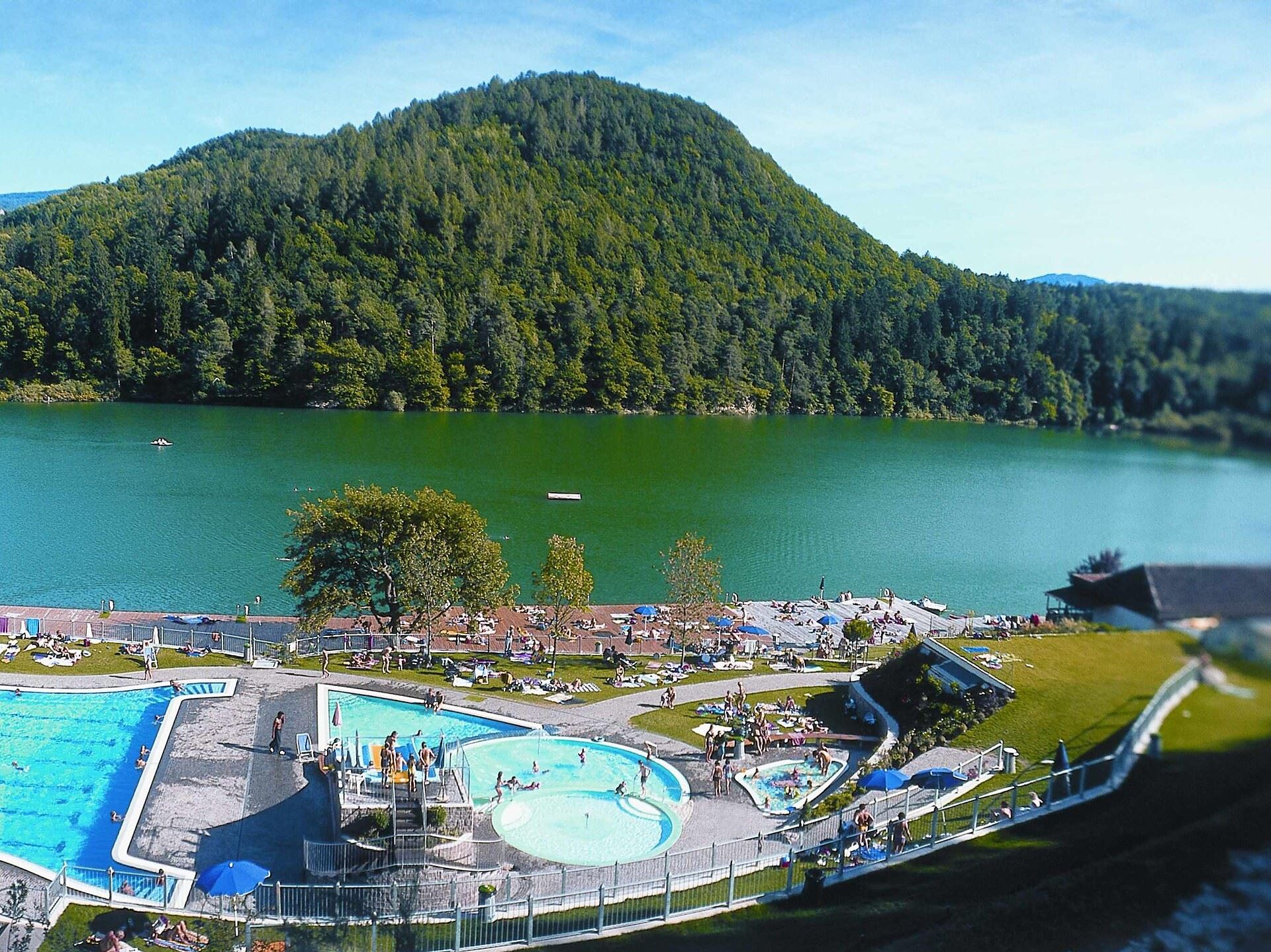
A lakeside bathing house on Lake Caldaro, among the vineyards of the Wine Road.
Chiesa a S. Antonio
14.3 km away, in Caldaro sulla strada del vino/Kaltern an der Weinstraße
The church of Sant'Antonio at Caldaro, on the terrace above the lake.
Percorso accessibile a tutti al lago
14.4 km away, in Caldaro sulla strada del vino/Kaltern an der Weinstraße
A level, step-free path around part of the Caldaro lake, the warmest bathing lake in the Alps.
Nothing of this kind in Predaia.
Routes
Walk to Rifugio Predaia Ai Todes’Ci
A short walk to the Rifugio Predaia, on a grassy slope with the whole Val di Non below, and a common destination for families.
- 3.2 km
- Distance
- 188 m
- Ascent
- 1 h 19 min
- Duration
- 13
- Check-ins
 Rifugio Predaia «ai Todes ci» 1 400 m
- Rifugio Sores 1 205 m
- Ristorante Rifugio Predaia «ai Todes ci» 1 399 m
Open route APT Val di NonLoop trail with hike up to Corno di Tres
A ridge walk on the Sentiero Italia between the Adige valley and the Val di Non, rising and falling through open woods to the Corno di Tres.
- 9.6 km
- Distance
- 511 m
- Ascent
- 3 h 40 min
- Duration
- 38
- Check-ins
 Corno di Tres 1 812 m
- Corno del Cervo - Hirschkopf 1 705 m
- Rifugio Predaia «ai Todes ci» 1 400 m
- Malga Rodeza 1 570 m
- Ristorante Rifugio Predaia «ai Todes ci» 1 399 m
Open route APT Val di NonJacopeo d'Anaunia Path - VII stage
The closing stage of the pilgrim route to San Romedio, an unhurried walk past Castel Thun and the frescoed church at Dardine.
- 18.3 km
- Distance
- 698 m
- Ascent
- 5 h 44 min
- Duration
- 5
- Check-ins
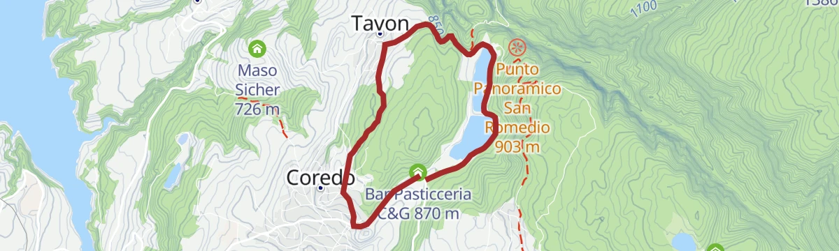
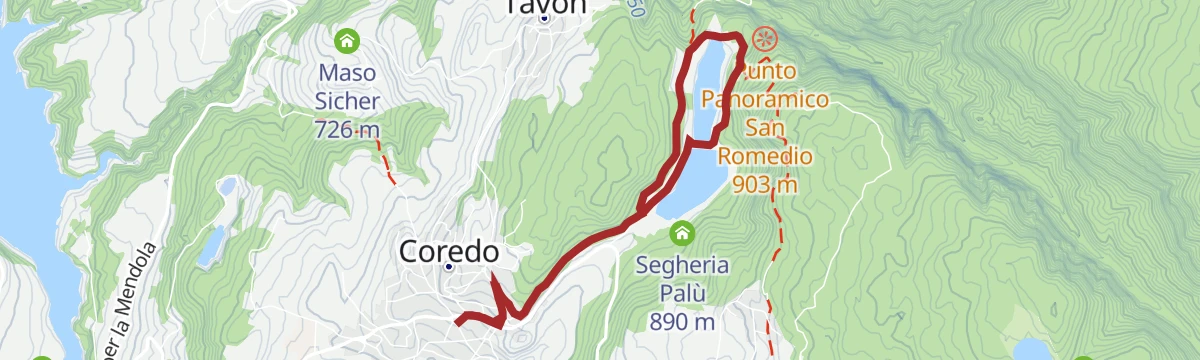
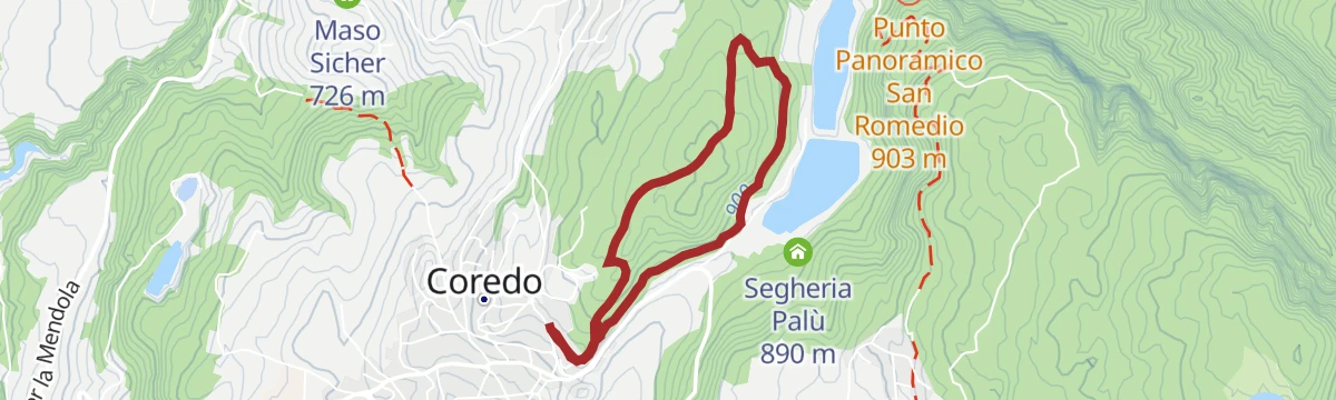
Open route APT Val di NonFamily MTB tour by the lakes of Coredo
An easy family loop past Lago di Tavon and the sawmill at Palù, half paved and half forest road, with no traffic to worry about.
- 5.5 km
- Distance
- 109 m
- Ascent
- 36 min
- Duration
- 6
- Check-ins
Open route APT Val di NonQuick Tour Predaia MTB
A short forest-road round on the plateau above Coredo, taking in Lago di Tavon and the old sawmill clearing at Palù.
- 14.0 km
- Distance
- 407 m
- Ascent
- 1 h 37 min
- Duration
- 6
- Check-ins
Open route APT Val di NonVal di Non Bike Race - 14th Edition
The competition course of one edition of the event, climbing from the Laghetti dei Masi to Malga Romeno and the Mendelkamm above the pass.
- 38.3 km
- Distance
- 1 458 m
- Ascent
- 4 h 47 min
- Duration
- 116
- Check-ins
- Sas de la Prieda 1 658 m
 Passo della Mendola - Mendelpass 1 363 m
- Malga Romeno 1 773 m
- Rifugio Mezzavia - Halbweghütte 1 588 m
- Rifugio Genzianella - Enzianhütte 1 407 m
 Laghetto dei Masi (superiore) 1 113 m
- +8
Open route APT Val di NonCiclabile Dermulo
A short, flat cycle path on the floor of the Val di Non, running between Dermulo, Segno and Mollaro below the village of Taio.
- 8.6 km
- Distance
- 20 m
- Ascent
- 51 min
- Duration
Loop with climb to Mendola Pass
A near-100 km road circuit from the Val di Non over into the Adige valley, returning by the climb to the Passo della Mendola.
- 98.9 km
- Distance
- 1 712 m
- Ascent
- 10 h 23 min
- Duration
- 117
- Check-ins
- Dosso Santa Margherita 307 m
- Passo della Mendola - Mendelpass 1 363 m
- Azienda per il Turismo Val di Non 1 364 m
- La Rocchetta 2019 270 m
- Maso Cervara 245 m
- Castel Ringberg 306 m
- +8
Open route APT Val di NonA piedi sulla neve al soleggiato Doss da Spin in Predaia
A short snow walk over the open meadows of Doss da Spin above the Passo Predaia, on a well-trodden track in full sun.
- 5.0 km
- Distance
- 256 m
- Ascent
- 1 h 51 min
- Duration
- 7
- Check-ins
Loop on the Sentiero Italia straddling Predaia and the Adige Valley
A SAT-marked loop on the Sentiero Italia along the divide between Predaia and the Adige valley, with a shorter turnaround at Malga Vecchia.
- 14.9 km
- Distance
- 786 m
- Ascent
- 5 h 40 min
- Duration
- 21
- Check-ins
- Rifugio Predaia «ai Todes ci» 1 400 m
- Malga Rodeza 1 570 m
- Schweigl Hütte 1 851 m
- Kuhleger Hütt - Baita Kuhleger 1 820 m
- Malga Nuova Coredo 1 562 m
- Malga Vecchia di Coredo 1 624 m
- +1
Open route APT Val di NonJacopeo d'Anaunia Camino - 7th Stage, naturalistic variant of 2 days
A long, higher variant of the pilgrim stage through the Val di Non, mostly on dirt tracks and best broken over two days.
- 24.3 km
- Distance
- 1 314 m
- Ascent
- 8 h 50 min
- Duration
- Il Bacino 833 m
Open route APT Val di NonTour de Non MTB Experience: Stage 03 Malga di Romeno - Sporminore
The third stage of the Val di Non loop, topping Monte Roen, the high point of the Mendola massif.
- 42.6 km
- Distance
- 1 472 m
- Ascent
- 5 h 36 min
- Duration
- 96
- Check-ins
- Roen 2 116 m
- Croce del Roen 2 108 m
- Dosso Santa Margherita 307 m
- Testa Nera 2 031 m
- Malga Romeno 1 773 m
- Rifugio Predaia «ai Todes ci» 1 400 m
- +12
Open route APT Val di NonGran Tour Predaia Gravel
A gravel round of the Predaia plateau, mostly on forest track, dropping to Castel Thun before climbing back up to the Coredo lakes.
- 47.6 km
- Distance
- 1 595 m
- Ascent
- 5 h 44 min
- Duration
- 13
- Check-ins
- Rifugio Predaia «ai Todes ci» 1 400 m
- Rifugio Sores 1 205 m
- Maso Thun 593 m
- Caffetteria del castello 602 m
- Ristorante Rifugio Predaia «ai Todes ci» 1 399 m
- Baita 7 larici 1 146 m
Open route APT Val di NonDal Santuario di San Romedio ai rilassanti Laghi di Coredo e Tavon
An easy link on foot between Coredo and the best-known shrine in the valley, passing the Segheria Palù and the still water at Tavon.
- 5.7 km
- Distance
- 212 m
- Ascent
- 1 h 51 min
- Duration
- 6
- Check-ins
Tresner Horn
The ascent of the Corno di Tres from the Favogna side, on the ridge between the Adige valley and the Val di Non.
- 8.1 km
- Distance
- 601 m
- Ascent
- 3 h 57 min
- Duration
- 20
- Check-ins
Lago Santa Giustina A
A long low-level route around the Santa Giustina reservoir, the lake held behind the dam in the Val di Non.
- 20.9 km
- Distance
- 414 m
- Ascent
- 5 h 56 min
- Duration
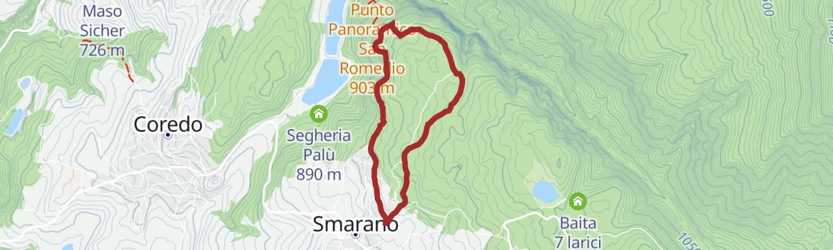
Tour 1423 - Predaia Superbike: the locals’ race!
The course of the local yearly bike race, a hard round of the plateau over the Passo Predaia and down from Samarano to the Coredo lakes.
- 37.1 km
- Distance
- 1 254 m
- Ascent
- 4 h 29 min
- Duration
- 16
- Check-ins
- Lago di Tavon 867 m
- Passo Predaia 1 250 m
- Solarium Predaia 1 268 m
- Rifugio Sores 1 205 m
- Segheria Palù 890 m
Open route APT Val di NonEasy loop of the Val di Non with ascent to Rumo
A road ride out of Cles across the Mostizzolo bridge, climbing the western side valley and coming back past the dam.
- 41.1 km
- Distance
- 896 m
- Ascent
- 4 h 29 min
- Duration
- 9
- Check-ins
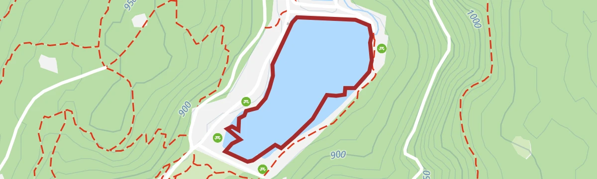
Open route APT Val di NonLago di Tavon PS
A short walk at Lago di Tavon, one of the two small lakes below the Predaia plateau.
- 1.1 km
- Distance
- 25 m
- Ascent
- 19 min
- Duration
- 5
- Check-ins
Open route Trentino FishingCorno di Tres
The climb on trail 3 from the Favogna road to the Fenner Joch and up the Barbara path to the Corno di Tres, over the Adige valley.
- 7.9 km
- Distance
- 635 m
- Ascent
- 4 h 4 min
- Duration
- 20
- Check-ins
Open route Südtirols SüdenTorrente Pongaiola O
A steep route along the Pongaiola torrent in the Val di Non, climbing the gorge below the Predaia plateau.
- 9.2 km
- Distance
- 881 m
- Ascent
- 4 h 12 min
- Duration
Open route Trentino FishingGrand Tour Predaia MTB
A well-signed ring on the Altopiano della Predaia, calling at Rifugio Sores, Malga di Vervò and Castel Thun, with 2,000 m of climbing.
- 50.6 km
- Distance
- 1 858 m
- Ascent
- 6 h 15 min
- Duration
- 13
- Check-ins
Cultural Gravel Tour
A long gravel tour at the lower levels of the Val di Non, stringing together Castel Valer, San Romedio and the old lez canal trails.
- 77.4 km
- Distance
- 1 883 m
- Ascent
- 8 h 39 min
- Duration
- 7
- Check-ins
- Lago Corona 687 m
- Birreria La Fabbrica 506 m
- Madonna Brusada 969 m
- Società Frutticoltori Campodenno - S.F.C - Melinda 499 m
- Laghetto della Marchesa 427 m
- Caffetteria del castello 602 m
- +2
Open route APT Val di NonLago di Coredo PS
A short walk at Lago di Coredo, one of the pair of small lakes below the Predaia plateau.
- 1.3 km
- Distance
- 10 m
- Ascent
- 21 min
- Duration
- 3
- Check-ins
Open route Trentino FishingFavogna di Sopra – Fenner Joch – Favogna di Sopra
From Favogna di Sopra on trail 3 to the Rotwand hollow, then up the Rätersteig onto the Fenner Joch saddle and back the same way.
- 10.5 km
- Distance
- 823 m
- Ascent
- 5 h 20 min
- Duration
- 20
- Check-ins
Open route Südtirols SüdenMedium Tour Predaia MTB
A long but never technical circuit over the Predaia plateau, across the Passo Predaia and past Rifugio Sores and Baita 7 larici.
- 30.5 km
- Distance
- 1 017 m
- Ascent
- 3 h 40 min
- Duration
- 10
- Check-ins
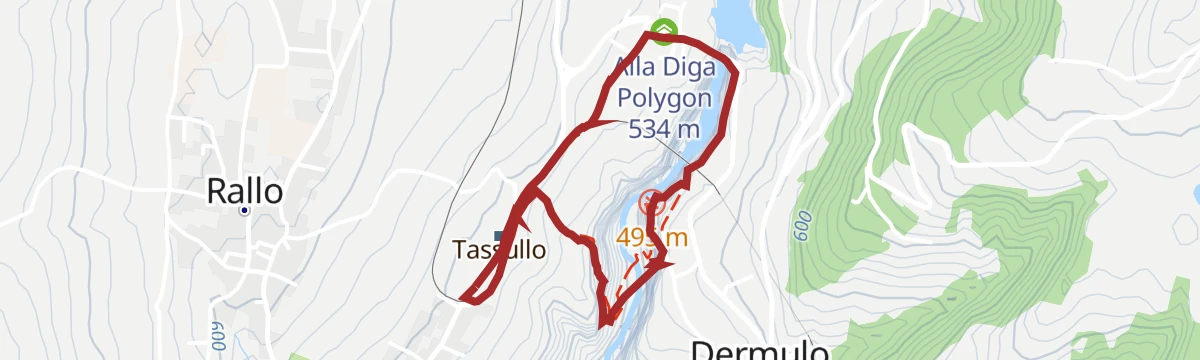
Open route APT Val di NonLoop of the lower Val di Non with ascent in Predaia
A loop on quiet back roads down the valley and up the other side, passing the reservoir at Vervò and below Castel Thun.
- 42.1 km
- Distance
- 995 m
- Ascent
- 4 h 41 min
- Duration
- 4
- Check-ins
- Birreria La Fabbrica 506 m
- Bacino di Vervò 862 m
- Alla Diga Polygon 534 m
Open route APT Val di NonAnello nel canyon di Santa Giustina passando per l'omonimo Eremo
A short loop into the Santa Giustina canyon, where a new footbridge over the stream leads to a hermitage of the thirteenth century.
- 3.0 km
- Distance
- 75 m
- Ascent
- 54 min
- Duration
- 1
- Check-ins
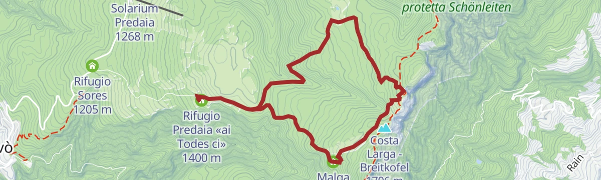
Loop of the Malgas of Predaia
A loop from the Rifugio Predaia by way of the Rodeza and Coredo dairies to the Roccia Larga balcony, looking to Bolzano, Lake Caldaro and the Maddalene.
- 7.9 km
- Distance
- 309 m
- Ascent
- 2 h 37 min
- Duration
- 17
- Check-ins
- Rifugio Predaia «ai Todes ci» 1 400 m
- Malga Rodeza 1 570 m
- Malga Nuova Coredo 1 562 m
- Ristorante Rifugio Predaia «ai Todes ci» 1 399 m
Open route APT Val di NonShort Tour Predaia MTB
An undemanding plateau circuit through woods and past villages, with the Coredo lakes and the sawmill at Palù on the way.
- 26.8 km
- Distance
- 769 m
- Ascent
- 3 h 6 min
- Duration
- 6
- Check-ins
Open route APT Val di NonConnection Coredo - Castel Thun
A link from the Predaia plateau down to Castel Thun and back, a car-free way to reach the castle, with a café at its gate.
- 37.7 km
- Distance
- 1 901 m
- Ascent
- 5 h 16 min
- Duration
Open route APT Val di NonLago di Mollaro M
An easy route down to Lago di Mollaro, on the terraced slopes of the Val di Non below Predaia.
- 4.2 km
- Distance
- 283 m
- Ascent
- 1 h 54 min
- Duration
- Lago di Mollaro 345 m
Loop from Coredo passing through the Sanctuary of San Romedio and Sanzeno
A loop from Coredo to the Sanctuary of San Romedio and on to Sanzeno, following the Val di Non from its pagan past to the present.
- 10.3 km
- Distance
- 504 m
- Ascent
- 3 h 43 min
- Duration
- 6
- Check-ins
Open route APT Val di NonTour 1421 – The Bishop and the Hermit
A demanding ride from Coredo up the wooded west flank of the Roen, past two reservoirs and the concrete ramp to Malga Smarano, to sites named for a bishop and a hermit.
- 27.4 km
- Distance
- 1 326 m
- Ascent
- 3 h 43 min
- Duration
Open route APT Val di NonThe Lez "Viale dei Sogni" in Coredo
An easy walk along the Lez avenue at Coredo, through heather and lady's slipper in spring and beside the stream in summer.
- 6.0 km
- Distance
- 105 m
- Ascent
- 1 h 40 min
- Duration
Open route APT Val di NonFrom Coredo to the Sanctuary of San Romedio
A varied walk from Coredo down to the Sanctuary of San Romedio, shaded much of the way and through the village pine wood.
- 9.1 km
- Distance
- 307 m
- Ascent
- 2 h 54 min
- Duration
- 5
- Check-ins
Open route APT Val di NonThe Merlonga walk
A near-level loop through woods above Coredo to viewpoints over the Coredo and Tavon lakes and the Sanctuary of San Romedio.
- 4.5 km
- Distance
- 116 m
- Ascent
- 1 h 21 min
- Duration
Open route APT Val di NonSanzeno - passeggiata nella roccia - passeggiata merlonga - due laghi di coredo
A walk up from Sanzeno on the path cut through the rock, then over the Merlonga trail to the two lakes above Coredo.
- 7.5 km
- Distance
- 625 m
- Ascent
- 3 h 33 min
- Duration
- 1
- Check-ins
Open route APT Val di NonWalk from Coredo to Castel Bragher passing through Bosco Orna
A walk from Coredo through the Bosco Orna to the hidden side of Castel Bragher, where the pines open onto its inner courtyard.
- 5.3 km
- Distance
- 187 m
- Ascent
- 1 h 43 min
- Duration
Open route APT Val di NonAmong meadows and forests to discover Castel Bragher
A walk on field and forest roads from the village of Prio to Castel Bragher, a cylindrical-towered residence of the mid-13th century, still private and closed to visitors.
- 14.6 km
- Distance
- 468 m
- Ascent
- 4 h 35 min
- Duration
Open route APT Val di NonWalk to Discover the "Predaia Art and Nature" Installations
A short walk on the Predaia plateau past wooden sculptures set among the trees, with heather and lady's slipper in spring and the lez stream in summer.
- 4.1 km
- Distance
- 73 m
- Ascent
- 1 h 8 min
- Duration
Open route APT Val di NonDa località Sette Larici alla malga di Coredo
A mountain-road walk through cool forest from Sette Larici up to the Coredo alpine dairy on the Predaia plateau.
- 12.7 km
- Distance
- 593 m
- Ascent
- 4 h 27 min
- Duration
Torrente Noce H
A valley route along the Noce below Predaia, running by the Lago di Mollaro and the village of Denno.
- 14.1 km
- Distance
- 441 m
- Ascent
- 4 h 10 min
- Duration
- Lago di Mollaro 345 m
Open route Trentino Fishing
No routes of this kind in Predaia yet.
The region's own picks

Featured route
Walk to Rifugio Predaia Ai Todes’Ci
A short walk to the Rifugio Predaia, on a grassy slope with the whole Val di Non below, and a common destination for families.
Planning a trip to Predaia?
Everything else Trentino-Alto Adige/Südtirol has, in one place


Take Predaia with you into the mountains
Every route on this page with 3D terrain, GPX navigation and offline maps — including the valleys with no signal.
Data sources
- Official website: visittrentino.info ↗
- Routes and highlights: APT Val di Non, Kaltern an der Weinstraße, Visit Trentino, Trentino Fishing, Sterzing, Pfitsch und Freienfeld, Südtirols Süden, Italia.it, Suedtiroler Unterland
- Published as open data by the tourist boards named above.
- Region summary generated from the board's own material.
