
 Historic site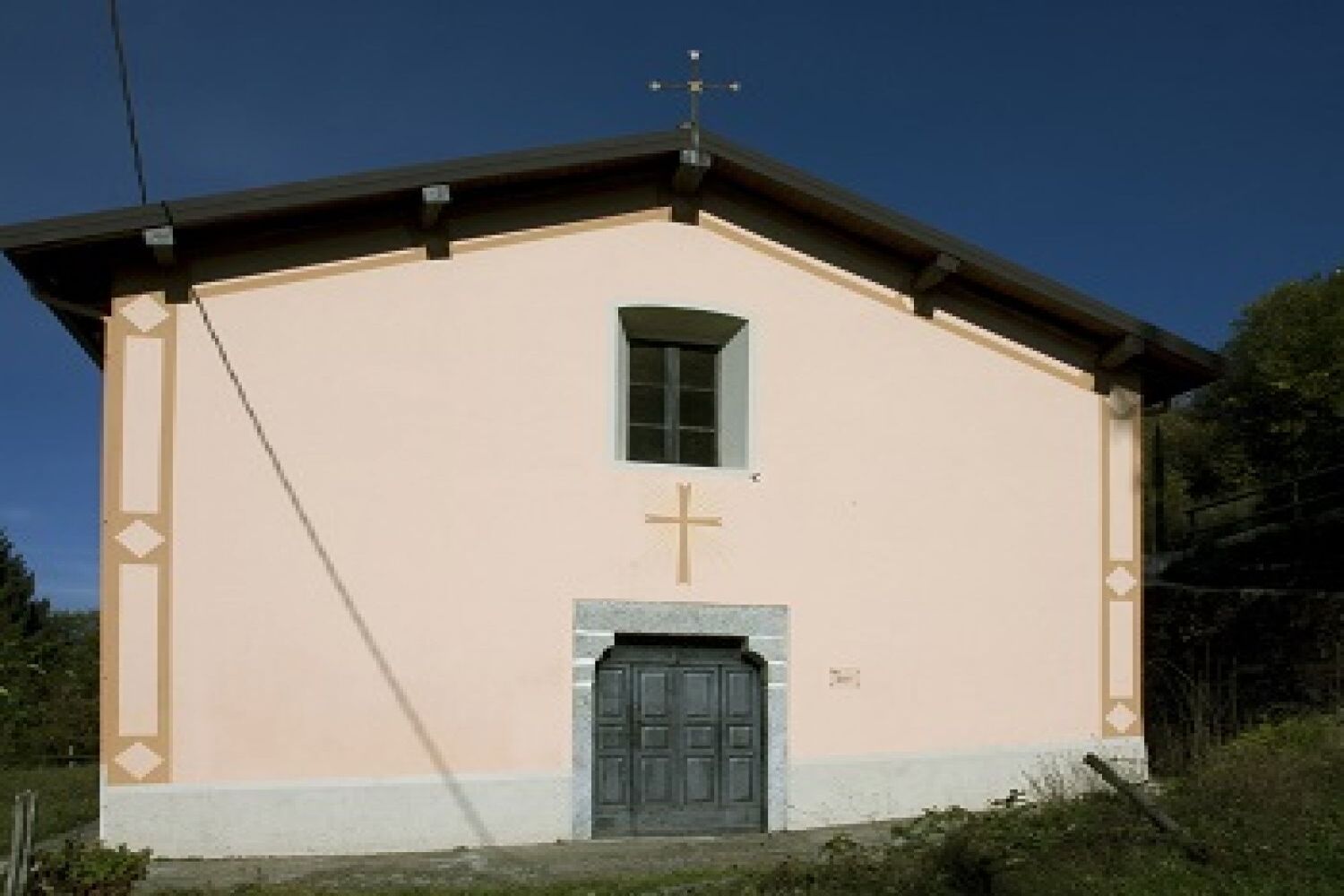










Curated by Visit Lake Iseo
Pisogne
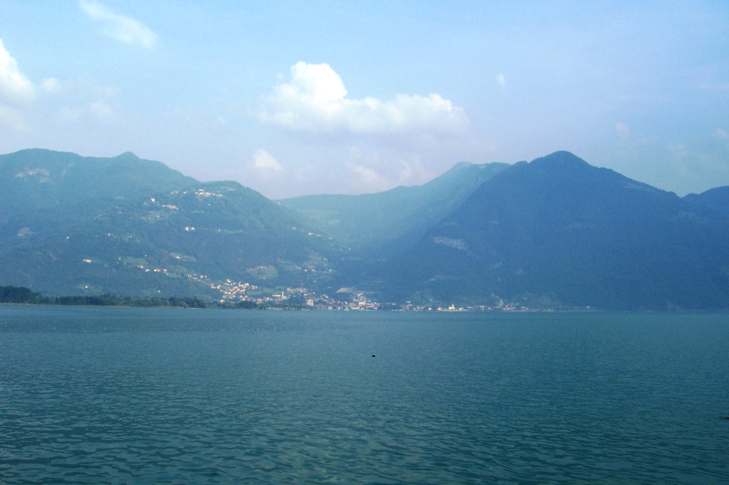
The market town at the head of Lake Iseo where the Val Camonica begins, below Monte Guglielmo.
- 10Highlights
- 22Routes
- Featured summit · Dosso Pedalta
Highlights
5 from neighbouring places
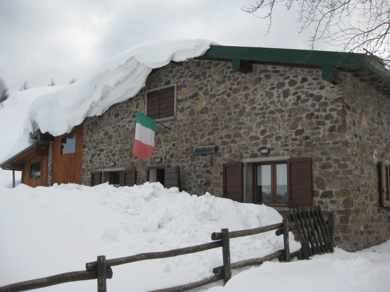
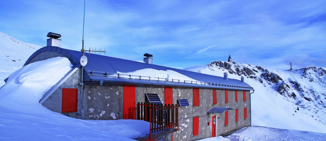
Rifugio Medelet
A hut in the hills above Pisogne, on the paths climbing from Lake Iseo towards Monte Guglielmo.
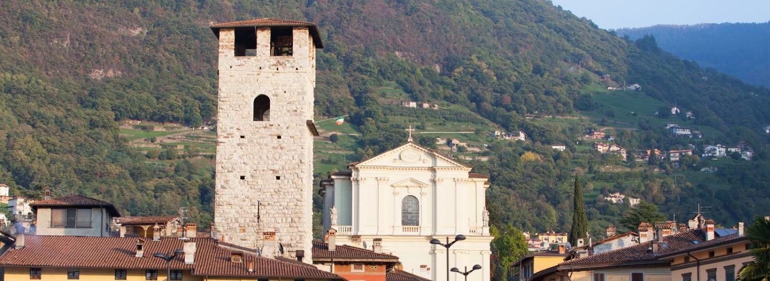
Torre del Vescovo
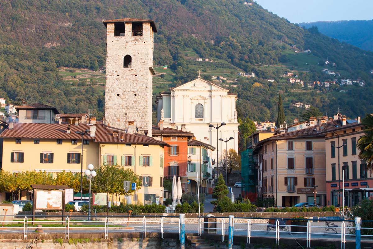
A medieval tower standing on the main square of Pisogne, at the northern end of Lake Iseo.
Chiesa dei Santi Pietro e Paolo a Siniga
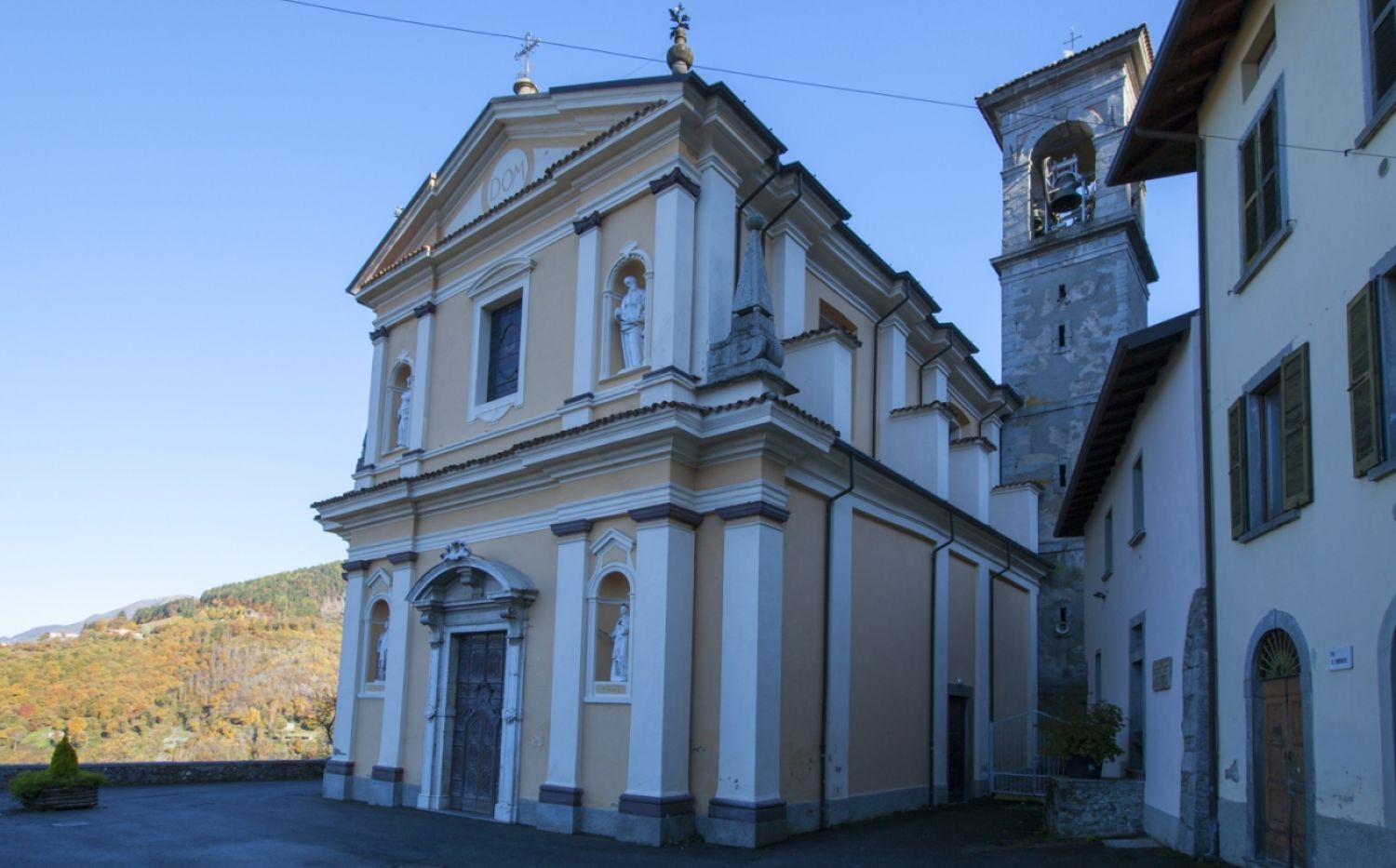
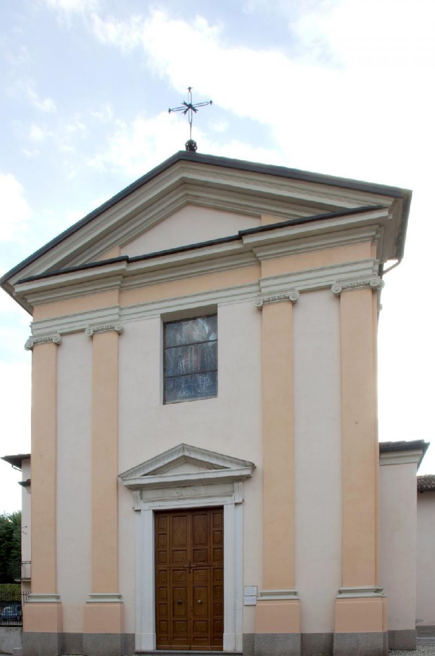
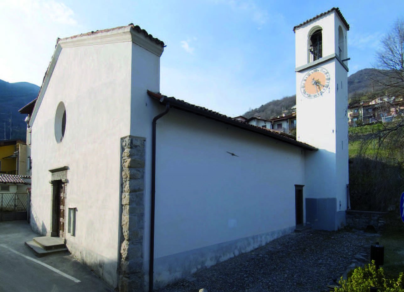
A church dedicated to Peter and Paul at Siniga, a hamlet in the hills of Pisogne above the north end of Lake Iseo.
Chiesa di San Gregorio a Toline
A church dedicated to Saint Gregory at Toline, a hamlet of Pisogne on the shore road along the north-east of Lake Iseo.
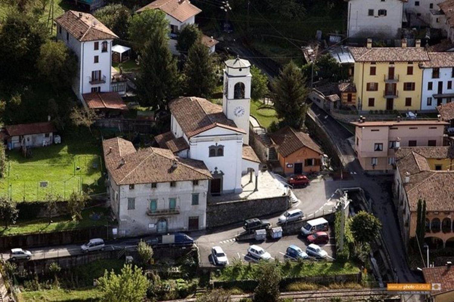
Chiesa di San Lorenzo a Fraine
A church dedicated to Saint Lawrence at Fraine, a hamlet above Pisogne at the mouth of the Val Camonica.
Chiesa di San Zenone a Gratacasolo
A church dedicated to Saint Zeno at Gratacasolo, a hamlet of Pisogne where the Val Camonica opens onto Lake Iseo.
Chiesa di Santa Maria Assunta
The parish church of Pisogne, dedicated to the Assumption, in the centre of the town at the head of Lake Iseo.
Chiesa di Santa Maria della Neve
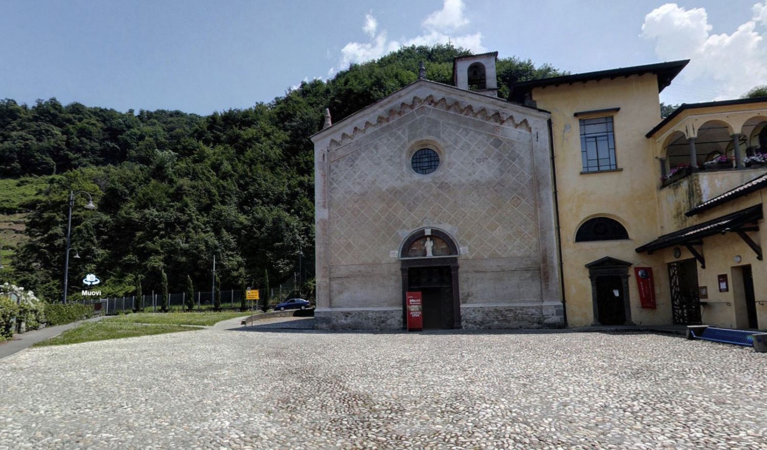
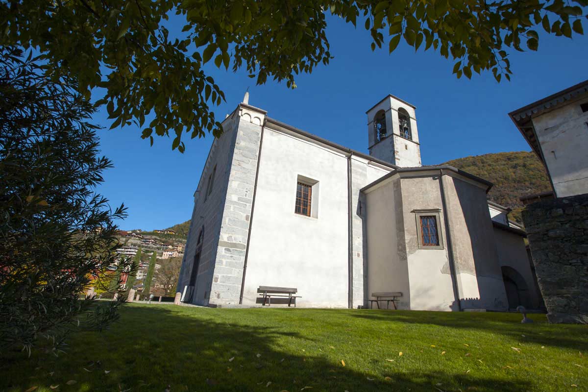
A fifteenth-century church on the slope above Pisogne, its interior covered by a fresco cycle painted by Girolamo Romanino.
Chiesa di Santa Maria della Neve a Pisogne
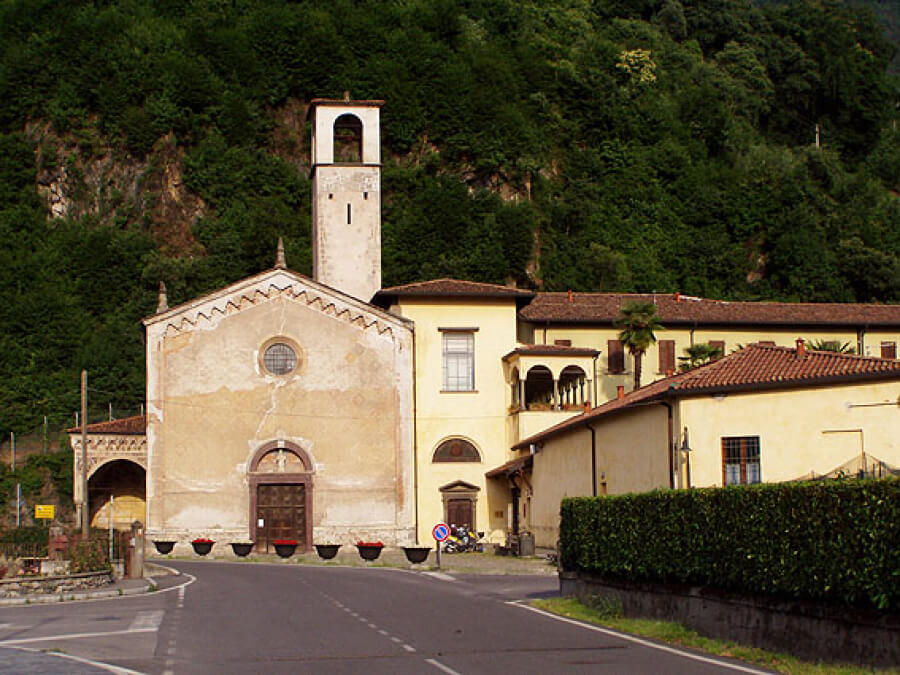
The church above Pisogne whose walls carry Romanino's Passion frescoes, long known in the Val Camonica as the poor man's Sistine Chapel.
Pieve di Santa Maria in Silvis
The former parish church of Pisogne, standing outside the town; the name in silvis recalls the woods that once surrounded it.
Chiesa di San Giovanni Battista
4.2 km away, in Zone
A church dedicated to John the Baptist in Zone, in the hills above the eastern shore of Lake Iseo.
Chiesa di San Giovanni Battista a Zone
4.2 km away, in Zone
The parish church of San Giovanni Battista at Zone, with polychrome marble altars and wooden sculpture.
Riserva Naturale delle Piramidi di Zone
4.4 km away, in Zone
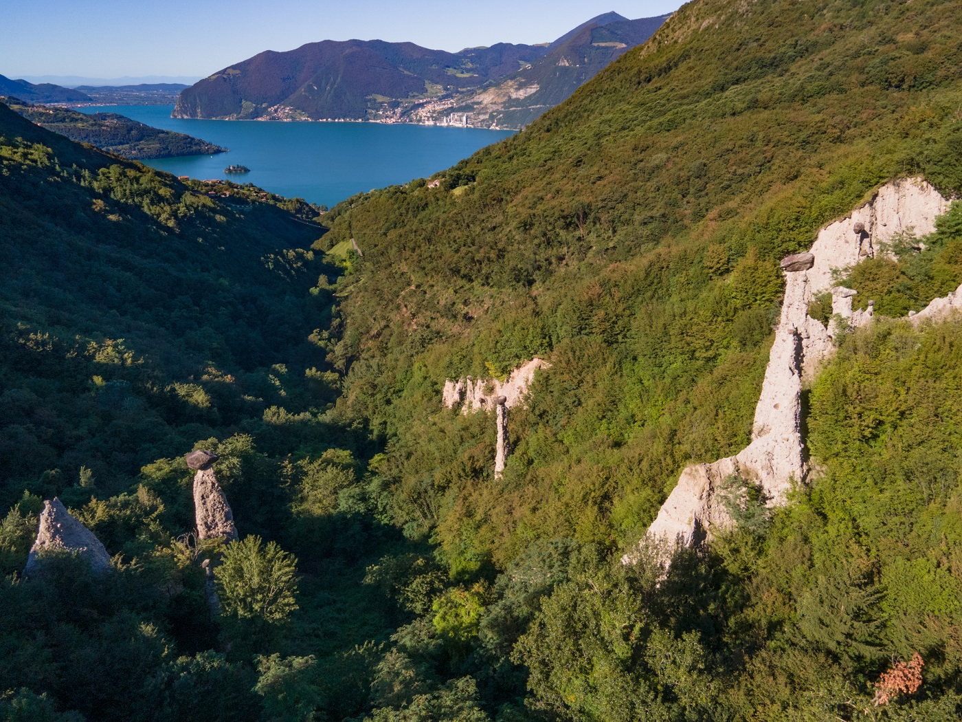
An amphitheatre of earth pyramids above Zone, capped by boulders that shelter them from the rain, on Lake Iseo's eastern side.
Chiesa di San'Antonio Abate a Cusato
4.6 km away, in Zone
A small church dedicated to Saint Anthony the Abbot at Cusato, a hamlet of Zone above Lake Iseo.
Rifugio Almici
4.8 km away, in Zone
A hut below the summit of Monte Guglielmo, above Zone, a base for walks on the ridge between Lake Iseo and the Val Trompia.
Nothing of this kind in Pisogne.
Routes
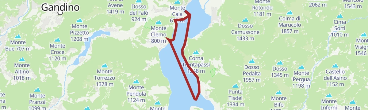
Ferrata da Toline alla Corna Trentapassi
A cabled route from Toline on Lake Iseo up the rock to the Corna Trentapassi, the peak standing over the northern arm of the lake.
- 6.5 km
- Distance
- 1 007 m
- Ascent
- 7 h 11 min
- Duration
- 172
- Check-ins
Via ferrata from Toline to Corna Trentapassi
A via ferrata above the hamlet of Toline, approached on the CAI 212 path through the woods, then cabled rock to the top of the Corna Trentapassi.
- 8.1 km
- Distance
- 1 086 m
- Ascent
- 7 h 57 min
- Duration
- 144
- Check-ins
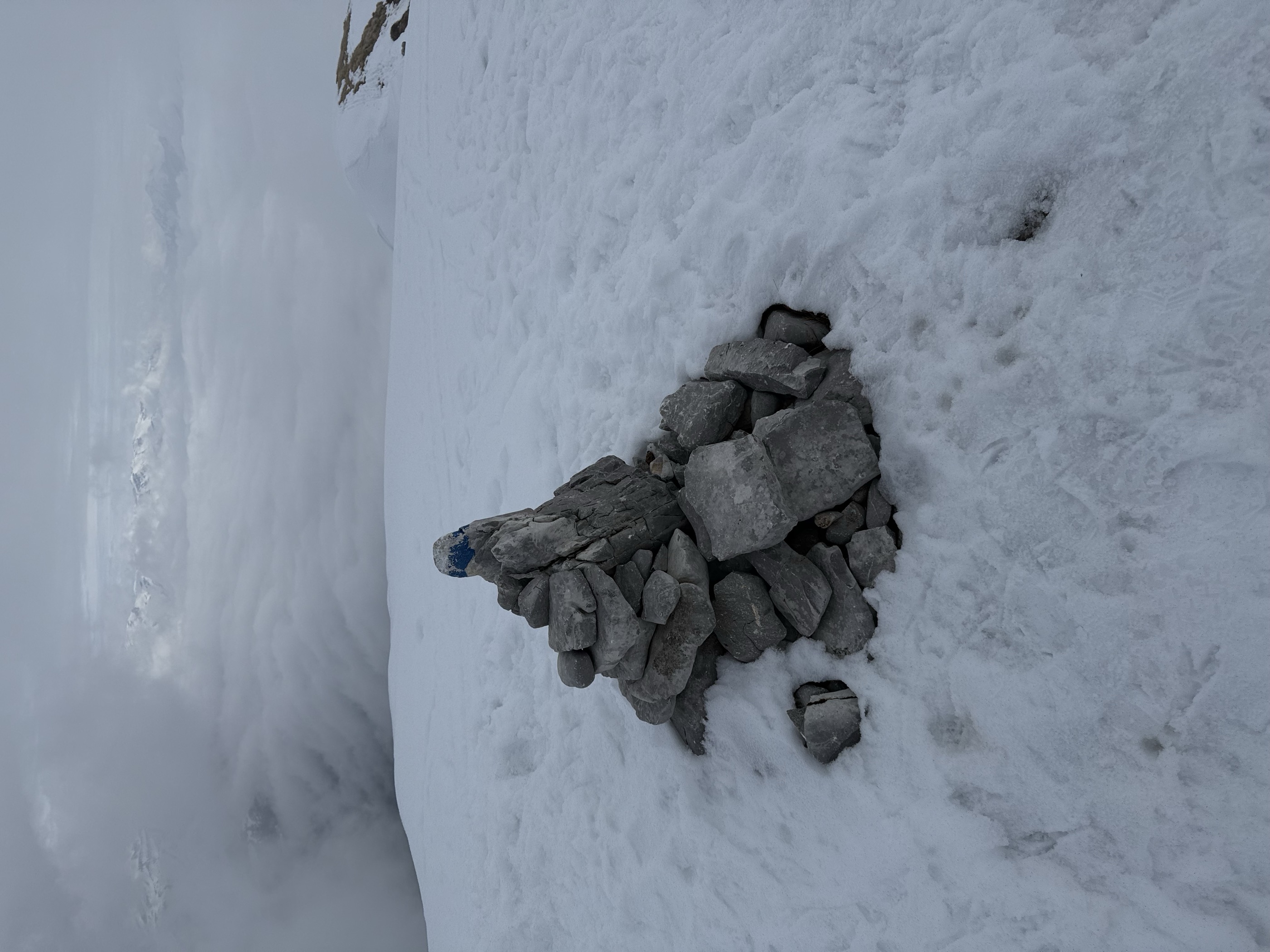
 Corna Trentapassi 1 248 m
- Anticima Est Corna Trentapassi 1 192 m
- Forcelle di Coloreto 992 m
- Anticima Nord Corna Trentapassi 1 175 m
 Toline 194 m
 Forcella Occidentale Trentapassi 964 m
Open route Visitlakeiseo5° tratto: Zone
A stretch of the Lake Iseo path at Zone, near the eroded earth pyramids above the village.
- 4.3 km
- Distance
- 247 m
- Ascent
- 1 h 56 min
- Duration
- 31
- Check-ins
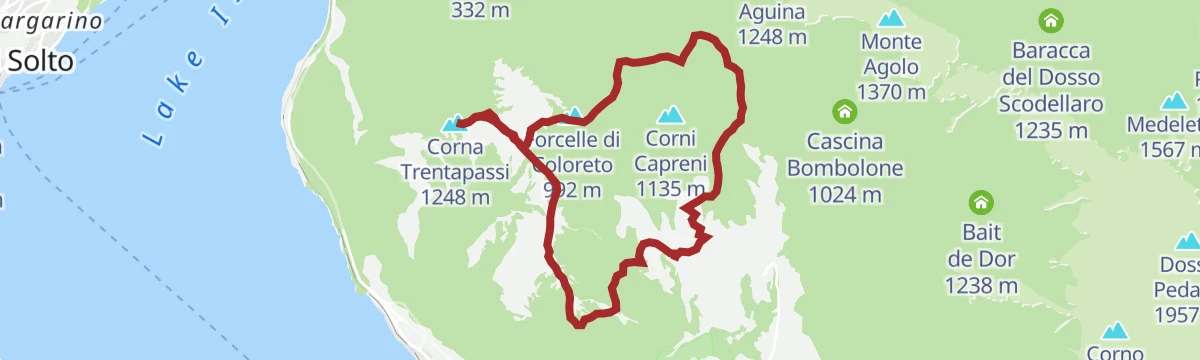
Giro ad anello Monte Vignole, Corna Trentapassi e Passo Croce di Zone da Cusato
A circuit from the hamlet of Cusato over Monte Vignole and the Corna Trentapassi above Lake Iseo, returning by the Croce di Zone pass.
- 10.0 km
- Distance
- 662 m
- Ascent
- 4 h 27 min
- Duration
- 211
- Check-ins
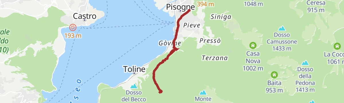
Trekking da Pisogne alla Corna Trentapassi
A steep climb from Pisogne at the head of Lake Iseo to the Corna Trentapassi, with the water underfoot for the whole ascent.
- 7.8 km
- Distance
- 1 010 m
- Ascent
- 4 h 4 min
- Duration
- 171
- Check-ins
MTB Pisogne
A long climb from the shore of Lago d'Iseo at Toline to the Croce di Marone and the Rifugio Almici, high on Monte Guglielmo.
- 55.6 km
- Distance
- 2 344 m
- Ascent
- 7 h 9 min
- Duration
- 299
- Check-ins
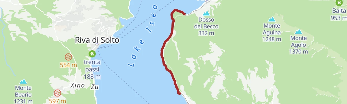
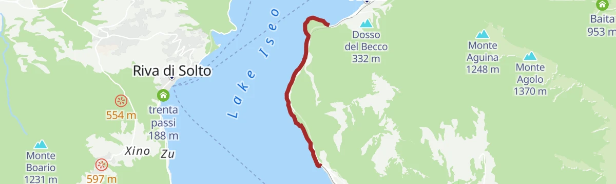
Walk on the cycle-pedestrian path between Vello and Toline
A level walking and cycling route at the water's edge, ending at the Punta delle Croci Bresciane with the Castro gorge opposite.
- 3.8 km
- Distance
- 123 m
- Ascent
- 28 min
- Duration
Open route VisitlakeiseoLake Iseo Circuit
A full lap of the lake from Iseo, taking the bridge at Paratico across to Sarnico and returning up the eastern shore through Sulzano.
- 65.9 km
- Distance
- 521 m
- Ascent
- 6 h 20 min
- Duration
- 268
- Check-ins
- Toline 194 m
- Infopoint Sulzano 189 m
- Al Bersaglio 188 m
- Infopoint Lago d’Iseo e Franciacorta 187 m
- Ufficio del turismo 188 m
- Villa Fenaroli 190 m
- +6
Open route Visitlakeiseo6° tratto: San Bartolomeo
A level stretch of path at Pisogne, at the north end of Lake Iseo, running out to the church of San Bartolomeo.
- 3.8 km
- Distance
- 10 m
- Ascent
- 1 h 15 min
- Duration
Trekking da Passabocche al Monte Guglielmo
A medium climb from the Passabocche pass over Punta Caravina and Dosso Pedalta to the summit of Monte Guglielmo above Lake Iseo.
- 4.9 km
- Distance
- 658 m
- Ascent
- 2 h 41 min
- Duration
- 135
- Check-ins
Trekking da Pisogne al Monte Guglielmo
A very long climb from the lake shore at Pisogne to the top of Monte Guglielmo, taking the whole height of the mountain in one push.
- 13.9 km
- Distance
- 1 702 m
- Ascent
- 7 h 2 min
- Duration
- 155
- Check-ins
MTB Monte Campione
A climb from the Valle Camonica over the Colle di San Zeno to the Medelet and Dosso Rotondo huts.
- 32.2 km
- Distance
- 1 226 m
- Ascent
- 4 h 1 min
- Duration
- 165
- Check-ins
Lungo le rive del lago d’Iseo su due ruote
A lakeside circuit on quiet roads and cycle paths, keeping close to the water from Clusane round to Toline and Sulzano.
- 68.0 km
- Distance
- 256 m
- Ascent
- 6 h 16 min
- Duration
- 254
- Check-ins
Ciclopedonale tra Vello e Toline
The old lakeside railway between Vello and Toline, now a level path through tunnels above Lake Iseo.
- 3.8 km
- Distance
- 344 m
- Ascent
- 2 h 7 min
- Duration
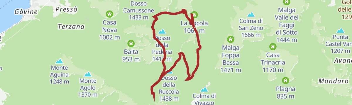
Sentiero da Val Palot al Rifugio Medelet
A route from Val Palot above Pisogne through the woods to the Medelet hut, crossing Medeletto and the Dosso della Ruccola.
- 10.7 km
- Distance
- 528 m
- Ascent
- 3 h 53 min
- Duration
- 34
- Check-ins
Trekking from Pisogne to Monte Guglielmo
A long climb from Pisogne through old chestnut groves and the hamlets of Pressó and Pontasio, then by mule track up to Monte Guglielmo.
- 13.9 km
- Distance
- 1 687 m
- Ascent
- 6 h 58 min
- Duration
- 155
- Check-ins
- Monte Guglielmo 1 948 m
- Medeletto 1 567 m
- Rifugio Almici 1 865 m
- Rifugio Medelet 1 567 m
- Passo di Passabocche 1 297 m
- Malga Palmarusso di Sopra 1 840 m
- +1
Open route VisitlakeiseoPasseggiata sulla ciclo-pedonale tra Vello e Toline
An easy walk on the old railway cycle path between Vello and Toline, cut into the cliffs along the east shore of Lake Iseo.
- 3.8 km
- Distance
- 313 m
- Ascent
- 1 h 57 min
- Duration
Alla scoperta di Monte Isola
A walk along the Iseo shore from Toline by Marone and Sale Marasino, facing Monte Isola, the largest lake island in Italy.
- 16.3 km
- Distance
- 503 m
- Ascent
- 5 h 3 min
- Duration
- 51
- Check-ins
Da Pilzone a Pisogne lungo l’antica Via Valeriana
The full Valeriana road from Pilzone to Pisogne, keeping to the slope above the eastern shore through the old lakeside villages.
- 20.8 km
- Distance
- 722 m
- Ascent
- 6 h 40 min
- Duration
- 45
- Check-ins
Antica Strada Valeriana
The whole Valeriana route along the eastern side of Lake Iseo, once the only road from Brescia into the Val Camonica.
- 23.6 km
- Distance
- 1 083 m
- Ascent
- 8 h 13 min
- Duration
- 31
- Check-ins
Ancient Valeriana Road
The old inland road from Pilzone to Pisogne, passing above Sulzano, Sale Marasino and Marone on lanes and stone-walled tracks with the lake always in sight.
- 23.6 km
- Distance
- 1 053 m
- Ascent
- 8 h 8 min
- Duration
- 31
- Check-ins
- Passo Croce di Zone 903 m
- Hotel Conca Verde 734 m
- Cascina Croce 906 m
- Ristorante Antica Valeriana 734 m
Open route VisitlakeiseoPercorso ad anello Eroici Remi
A circuit around the head of Lake Iseo out to Loreto island and back to Lovere, following the shore and the lakeside roads.
- 22.0 km
- Distance
- 250 m
- Ascent
- 5 h 45 min
- Duration
No routes of this kind in Pisogne yet.
The region's own picks

Featured route
5° tratto: Zone
A stretch of the Lake Iseo path at Zone, near the eroded earth pyramids above the village.
Planning a trip to Pisogne?
Everything else Lombardy has, in one place


Take Pisogne with you into the mountains
Every route on this page with 3D terrain, GPX navigation and offline maps — including the valleys with no signal.
Data sources
- Official website: visitlakeiseo.info ↗
- Routes and highlights: Visit Lake Iseo, Visitlakeiseo, Visitbrescia, in Lombardia
- Published as open data by the tourist boards named above.
- Region summary generated from the board's own material.
