
 Historic site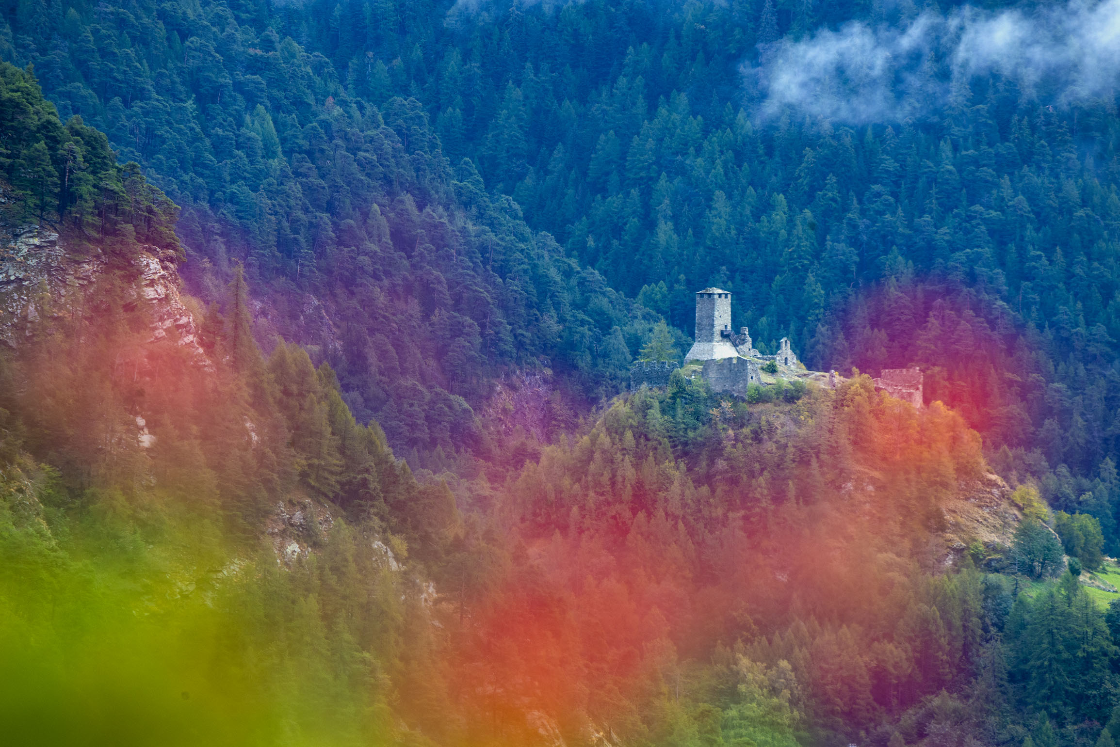
 Mountain hut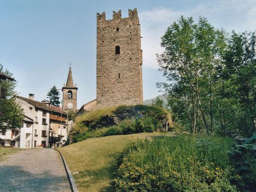



Curated by Monterosa Outdoor
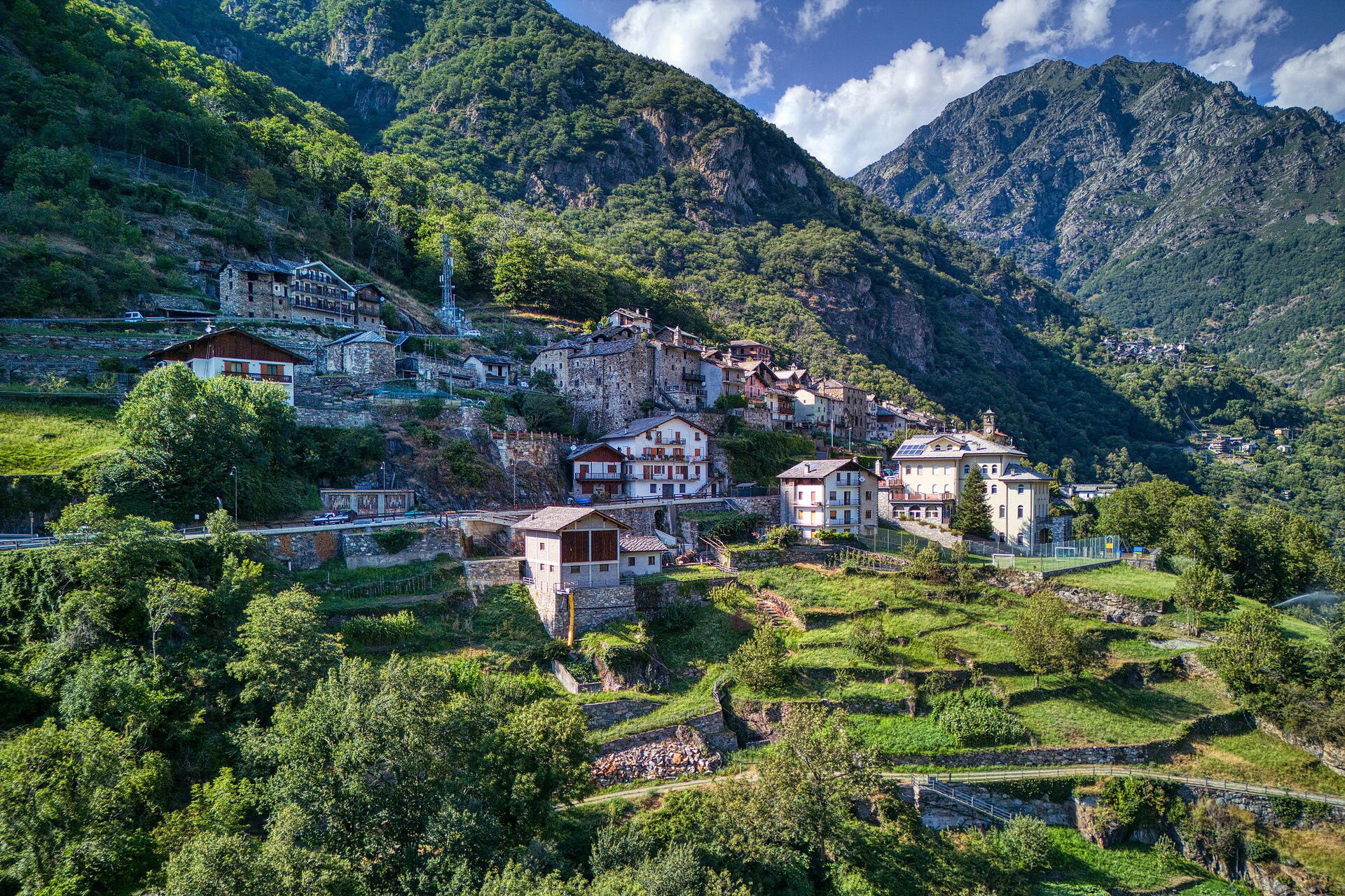
Perloz
Scattered comune on the terraces of the lower Lys valley, above Pont-Saint-Martin.
Photo: Hagai Agmon-Snir حچاي اچمون-سنير חגי אגמון-שניר · CC BY-SA 4.0 licence
- 7Highlights
- 13Routes
- Featured summit · Monte Crabun
Highlights
All 7 from neighbouring places
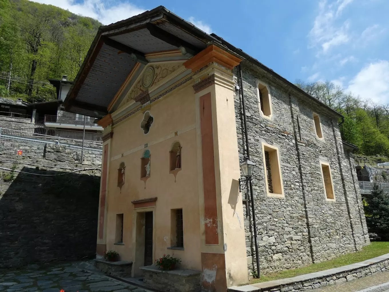
Cappella Del Gom
8.9 km away, in Pontboset
A wayside chapel at Pontboset, above the Ayasse gorge in the Champorcher valley.
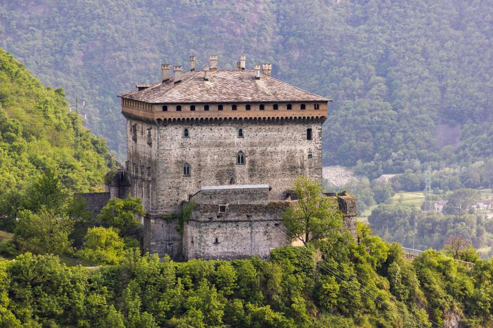
Il Castello di Verrès
9.4 km away, in Verrès
A single great cube of masonry above Verrès, built by Ibleto di Challant in the fourteenth century.
Castello di Graines
12.5 km away, in Brusson
An eleventh-century castle of the primitive type on a rock spur above Brusson, one of the oldest in the Valle d'Aosta.
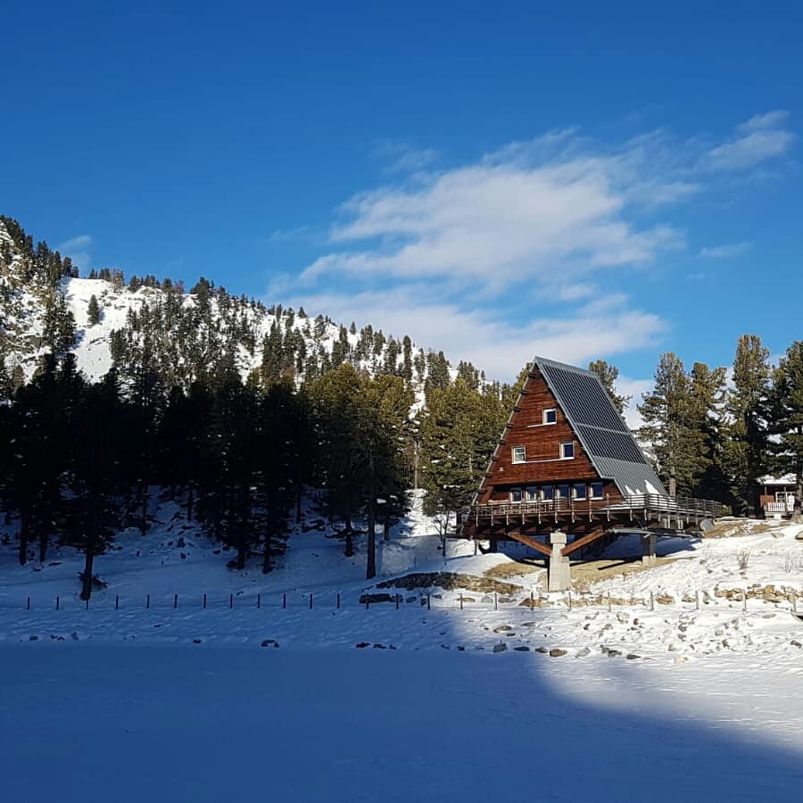
Casa Capriata-Rifugio Carlo Mollino
13 km away, in Gressoney-Saint-Jean
A hut in the Weissmatten ski area above 2,000 m, the Casa Capriata designed by the architect Carlo Mollino.
Torre medioevale e chiesa parrocchiale
14.1 km away, in Champorcher
A crenellated medieval tower and the parish church in the hamlet of Chateau, the old centre of the Champorcher valley.
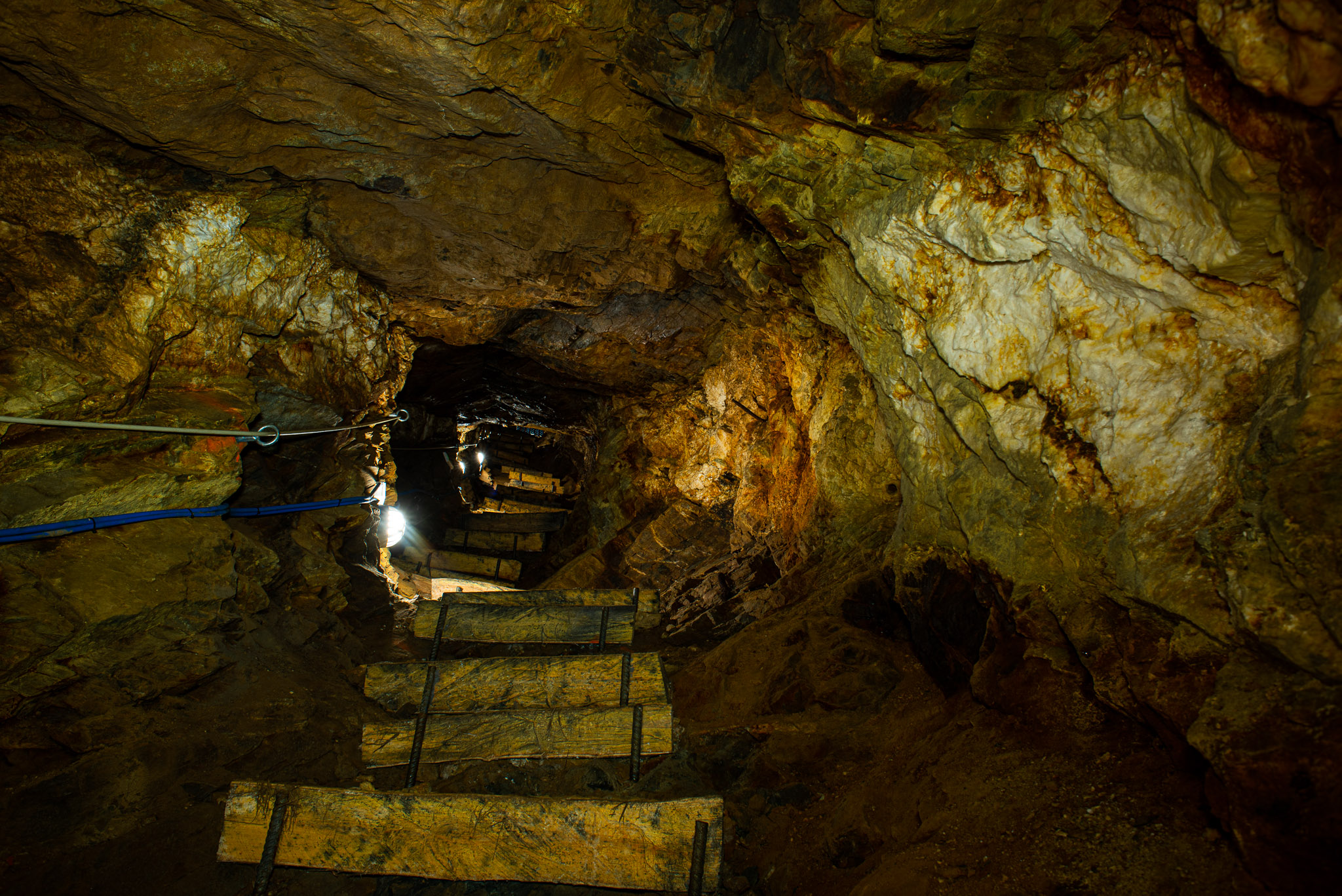
Miniere di Brusson
14.4 km away, in Brusson
Gold workings in the Val d'Ayas at Brusson, driven along the Chamousira vein and open underground.
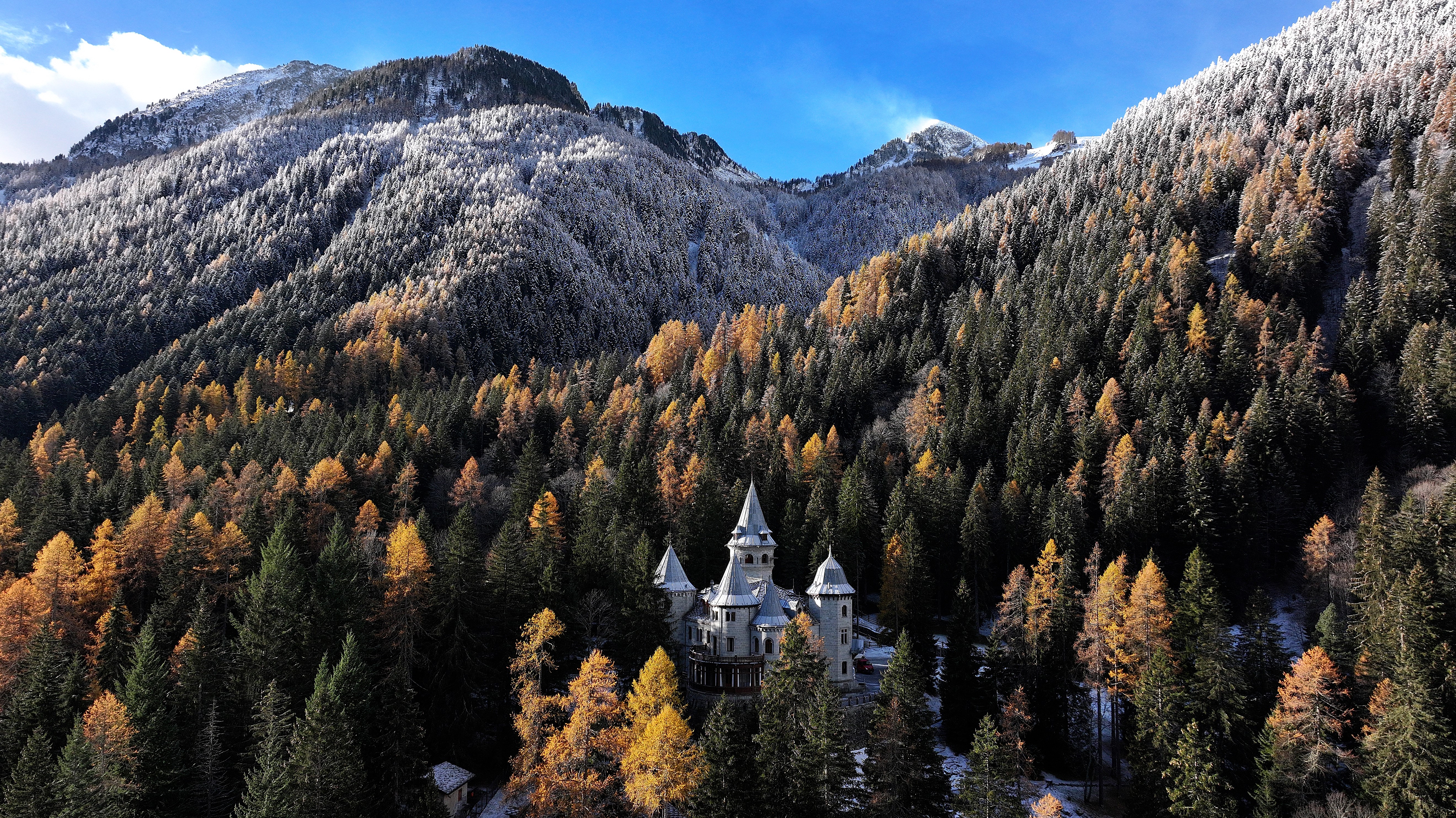
Castel Savoia
14.8 km away, in Gressoney-Saint-Jean
The fairytale residence built from 1899 for Queen Margherita above Gressoney-Saint-Jean, with five towers and its own park.
Nothing of this kind in Perloz.
Routes
Bec di Nona
A near-level walk above Perloz in the lower Lys valley out to the Bec di Nona.
- 6.7 km
- Distance
- 1 171 m
- Ascent
- 4 h 25 min
- Duration
- 2
- Check-ins
Col Finestra e peonie
A climb from Perloz to the Col Finestra, on slopes where wild peonies flower in early summer.
- 6.5 km
- Distance
- 638 m
- Ascent
- 3 h 55 min
- Duration
- 3
- Check-ins
Crabun
A long ascent of Monte Crabun above Perloz, on the ridge dividing the Lys valley from the Dora Baltea.
- 14.2 km
- Distance
- 1 660 m
- Ascent
- 9 h 55 min
- Duration
- 10
- Check-ins
Canale al Suc
An easy walk along the Suc irrigation channel above Lillianes, holding the contour on the flank of the Lys valley.
- 5.2 km
- Distance
- 95 m
- Ascent
- 1 h 26 min
- Duration
Cammino Balteo 1° tappa
The opening stage of a long walking route around the Valle d'Aosta, climbing steeply off the valley floor into the hills above Perloz.
- 8.5 km
- Distance
- 849 m
- Ascent
- 4 h 39 min
- Duration
Donnas
A long low-level round based on Donnas at the mouth of the Lys valley, in the vineyards of the lower Aosta valley.
- 20.3 km
- Distance
- 1 164 m
- Ascent
- 6 h 36 min
- Duration
- 9
- Check-ins
Cammino Balteo 3° tappa
Third stage of the Cammino Balteo, crossing the hamlets and chestnut woods around Lillianes in the lower Lys valley.
- 13.5 km
- Distance
- 446 m
- Ascent
- 4 h 34 min
- Duration
Chemp
A climb to Chemp above Perloz, a stone hamlet in the lower Lys valley known for its carved sculptures.
- 8.7 km
- Distance
- 728 m
- Ascent
- 4 h 38 min
- Duration
Madonna della Guardia
A steady climb out of Perloz onto the hillside high above the Lys valley, gaining a few hundred metres along the way.
- 5.2 km
- Distance
- 369 m
- Ascent
- 2 h 27 min
- Duration
Monrot
A walk to the Monrot pastures above Perloz, on the wooded eastern side of the Lys valley.
- 7.7 km
- Distance
- 535 m
- Ascent
- 3 h 33 min
- Duration
Places
A hillside walk above Donnas, climbing several hundred metres to a scattered hamlet on the slopes of the lower Valle d'Aosta.
- 7.7 km
- Distance
- 484 m
- Ascent
- 3 h 19 min
- Duration
Sentiero della libertà
A partisan route above Perloz in the lower Lys valley, following paths used by the wartime resistance.
- 7.9 km
- Distance
- 592 m
- Ascent
- 3 h 52 min
- Duration
Tour des villages
A round of the stone hamlets of Perloz, linked by mule tracks on the terraced slopes above the Lys.
- 6.3 km
- Distance
- 532 m
- Ascent
- 3 h 23 min
- Duration
No routes of this kind in Perloz yet.
The region's own picks

Featured route
Bec di Nona
A near-level walk above Perloz in the lower Lys valley out to the Bec di Nona.
Planning a trip to Perloz?
Everything else Aosta Valley has, in one place


Take Perloz with you into the mountains
Every route on this page with 3D terrain, GPX navigation and offline maps — including the valleys with no signal.
Data sources
- Official website: lovevda.it ↗
- Routes and highlights: Monterosa Outdoor, Visit Monterosa
- Published as open data by the tourist boards named above.
- Region summary generated from the board's own material.
