
 Historic site
















Curated by Partschins - Rabland - Töll
Parcines/Partschins
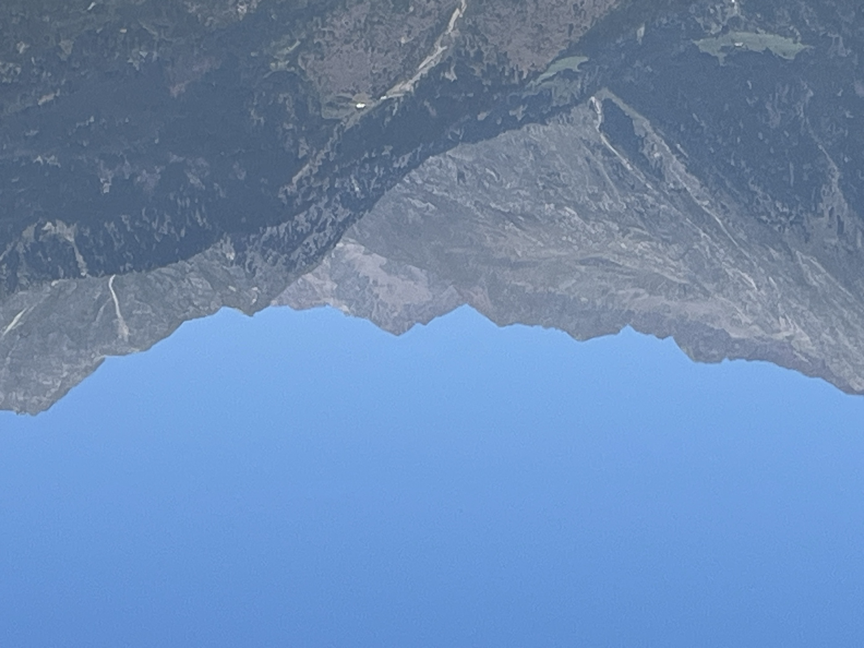
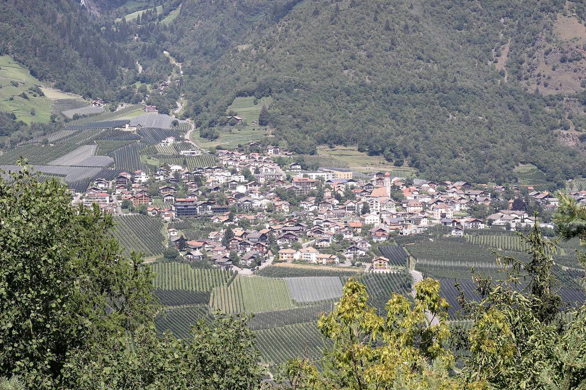
A Merano-side village below the Texel group, known for the Parcines waterfall and the Stachlburg.
Photo: ManfredK · CC BY-SA 4.0 licence
- 15Highlights
- 78Routes
- Featured summit · Roteck
Highlights
All 15 from neighbouring places
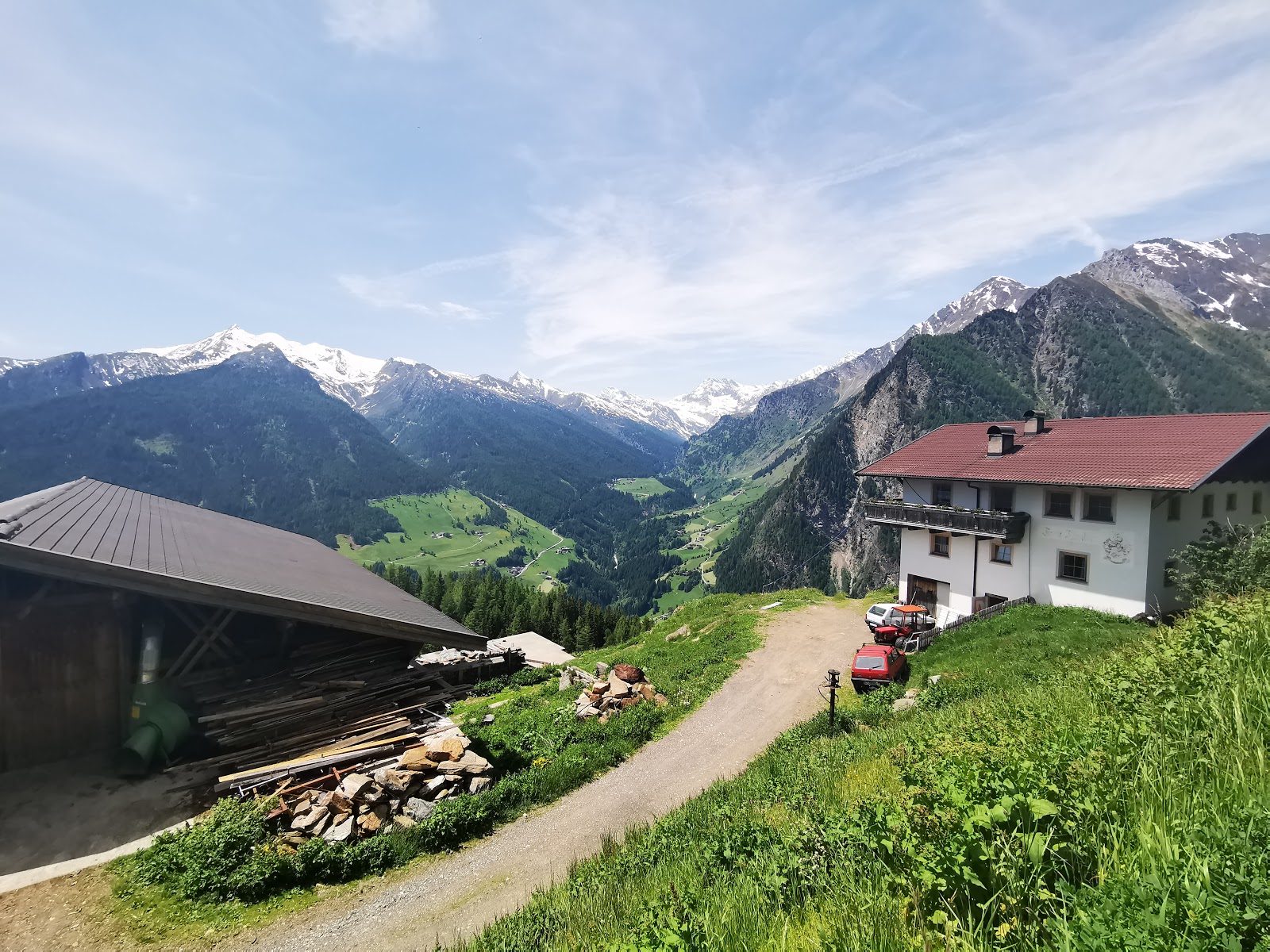
Berg-Gasthof Leiteralm-Schutzhaus
5 km away, in Lagundo/Algund
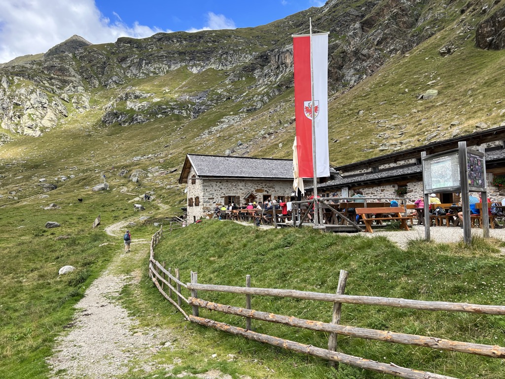
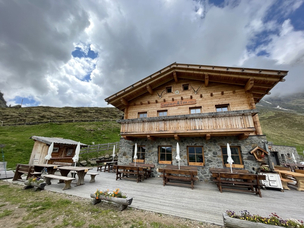
A mountain inn on the Leiter Alm above Lagundo, on the Texel slopes reached from Vellau by lift or by the path from the village.
Sterzing, Pfitsch und FreienfeldMalga Oberkaser
6 km away, in Tirolo/Tirol
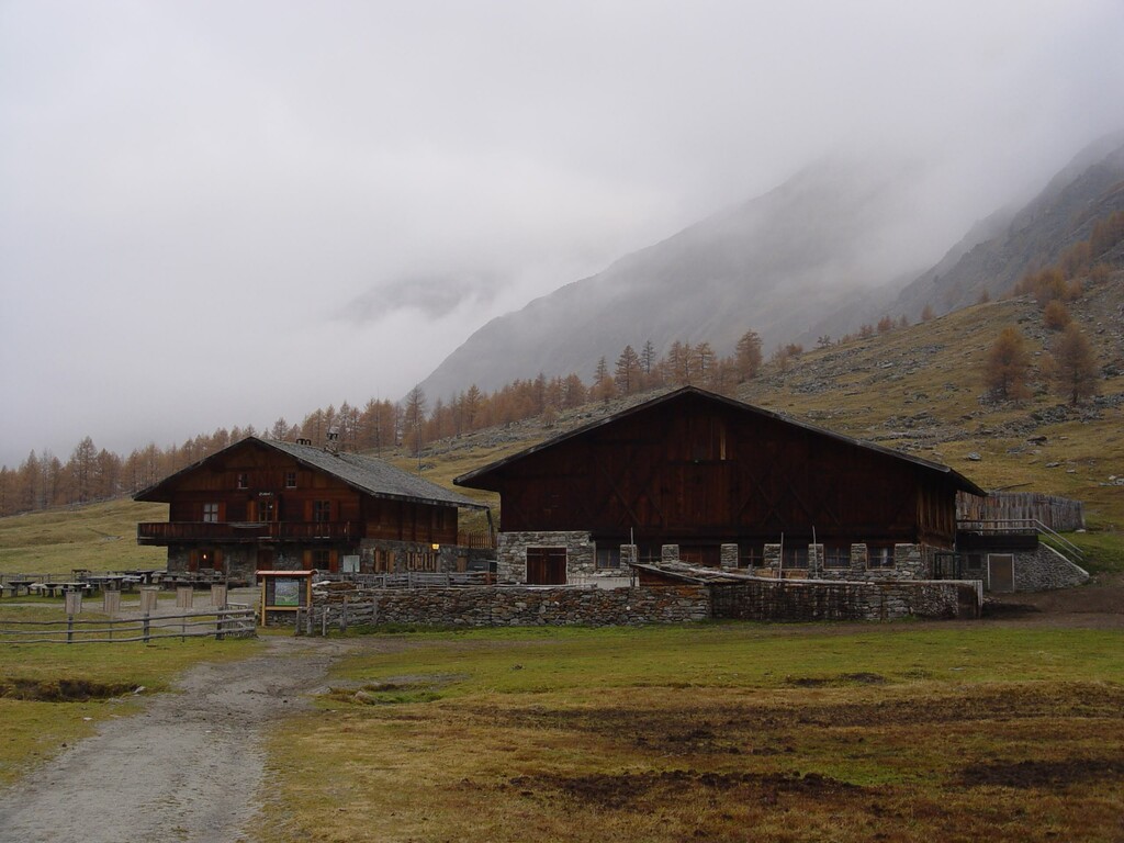
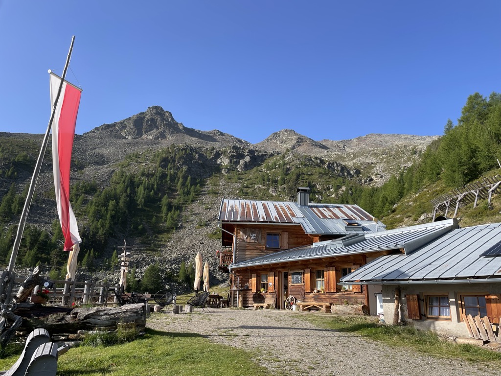
A dairy hut on the pastures above Tirolo, at the southern edge of the Gruppo di Tessa nature park north of Merano.
Sterzing, Pfitsch und FreienfeldFamily-Alm Gampl
7.6 km away, in Lana/Lana
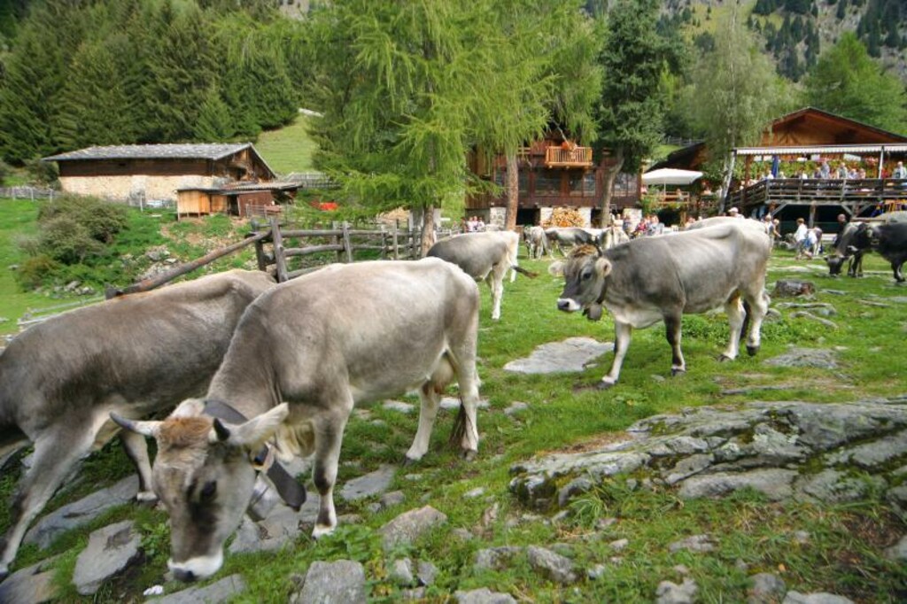
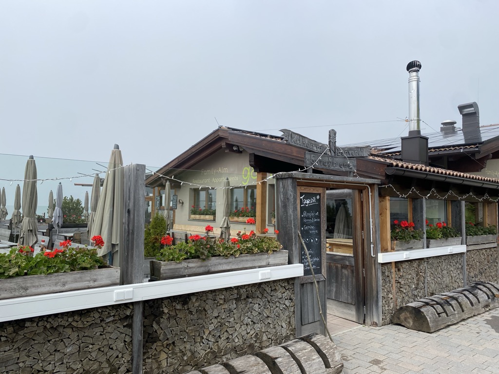
A dairy hut on the wooded slopes above Lana, west of Merano at the mouth of the Val d'Ultimo.
Maso Gelato
8.7 km away, in Senales/Schnals
A high farm at the head of the Val di Fosse, in the comune of Senales, one of the highest worked masi in the Alps.
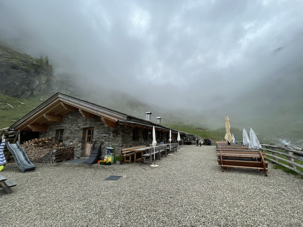
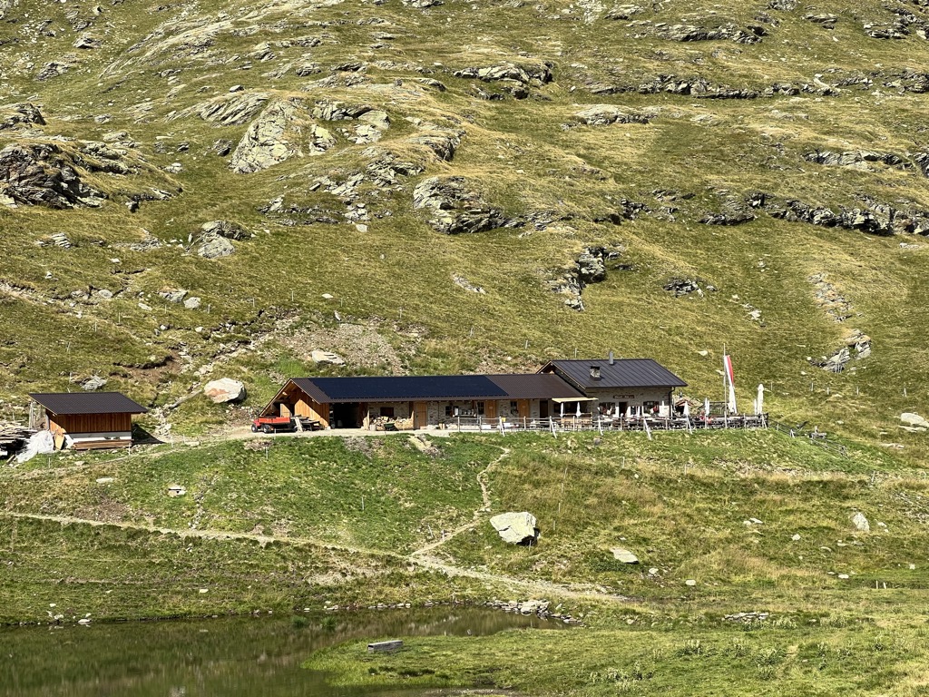
Malga Lazins Alm
9 km away, in Moso in Passiria/Moos in Passeier
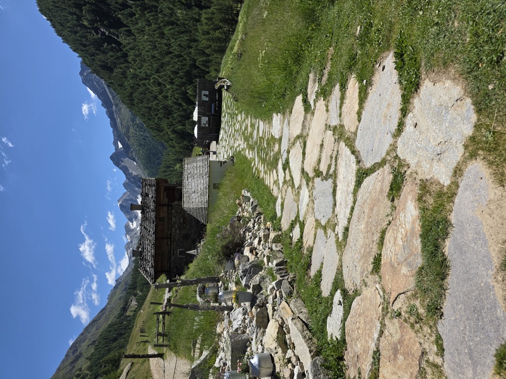
A dairy hut at the head of the Pfelderer Tal above Plan, where the paths toward the Lazinser Rötelspitze and the Eisjöchl divide.
Sterzing, Pfitsch und FreienfeldMalga Rableid
9.7 km away, in Senales/Schnals
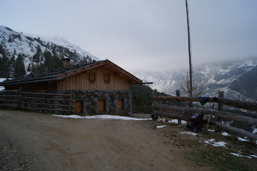
A dairy hut in the Val di Fosse above Certosa, inside the Gruppo di Tessa park, on the track up the valley from Vernago.
Malga Faltschnal Alm
10.4 km away, in Moso in Passiria/Moos in Passeier
A dairy hut on the Faltschnal pastures in the Pfelderer Tal, in the comune of Moso in Passiria, on the path up from Plan.
Sterzing, Pfitsch und FreienfeldMalga del Convento
10.9 km away, in Senales/Schnals
A dairy hut on the pastures above Certosa in the Val Senales, named after the Carthusian monastery in the village below.
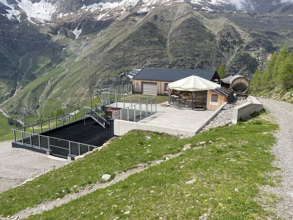
Malga Grünbodenhütte
11.5 km away, in Moso in Passiria/Moos in Passeier
A hut on the Grünboden pastures above Plan, in the Pfelderer Tal of the upper Passeier, in the comune of Moso in Passiria.
Sterzing, Pfitsch und FreienfeldGrünboden-Hütte
11.6 km away, in Moso in Passiria/Moos in Passeier
A hut in the upper Val Passiria above Moso, below the Texel group.
Malga Farmazon Alm
13.9 km away, in Moso in Passiria/Moos in Passeier
A dairy hut on the Farmazon pastures of the Pfelderer Tal, above Plan in the comune of Moso in Passiria.
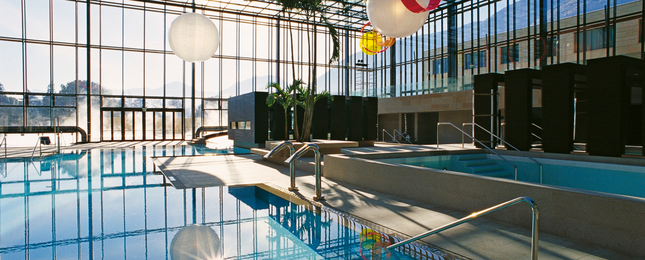
Sterzing, Pfitsch und FreienfeldTerme Merano
9.2 km away, in Merano/Meran
Thermal pools in Merano under a glass cube by Matteo Thun, with a park along the Passirio.
Malga Obisell Alm
9.3 km away, in Rifiano/Riffian
A dairy hut on the grazing slopes above Rifiano, below the Hirzer ridge on the east side of the Val Passiria.
Sterzing, Pfitsch und FreienfeldMalga Faglsalm
10.7 km away, in Rifiano/Riffian
A dairy hut on the pastures above Rifiano, at the mouth of the Val Passiria north of Merano.
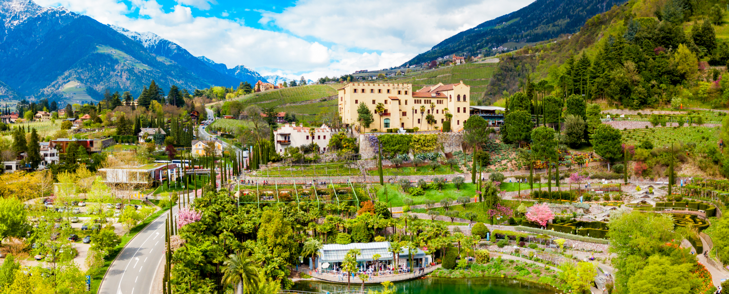
Sterzing, Pfitsch und FreienfeldGiardini di Castel Trauttmansdorff
11.3 km away, in Merano/Meran
Terraced botanic gardens around a castle above Merano, planted in zones from Mediterranean to Alpine.
Nothing of this kind in Parcines/Partschins.
Routes
50 routes, an even mix of activities · see the rest on suedtirol.info ↗
La cascata di Parcines dalla stazione a monte della funivia Texelbahn - lungo la via dei masi
A near-level route from the top of the Texelbahn along the old farm path to the Parcines waterfall, which drops 97 m.
- 5.9 km
- Distance
- 41 m
- Ascent
- 2 h 35 min
- Duration
- 29
- Check-ins
Open route Partschins - Rabland - TöllAlta Via di Merano – da Alta Muta (Hochmuth) a Giggelberg
A stage of the Merano high route from the top of the Hochmuth cable car to Giggelberg above Parcines, over a suspension footbridge and past alpine dairies.
- 13.6 km
- Distance
- 871 m
- Ascent
- 5 h 32 min
- Duration
- 129
- Check-ins
 Leiteralm - Malga Leiter 1 550 m
- Gasthaus Steinegg 1 443 m
- Gasthof Hochmuth 1 362 m
- Schutzhaus Hochgang - Rifugio Casa del Valico 1 839 m
- Gasthaus Giggelberg 1 576 m
- Berggasthof Oberhochmuthof 1 370 m
- +3
Open route Partschins - Rabland - TöllCigot dalla Malga Leiter
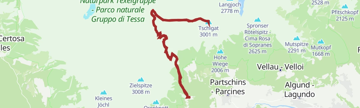
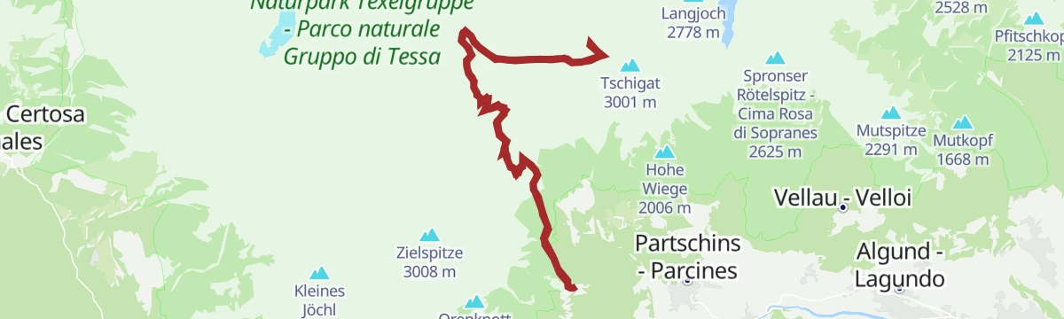
A serious mountain route from the Leiteralm to the gneiss pyramid of the Tschigat, with exposed ground and short passages of grade II climbing.
- 17.2 km
- Distance
- 1 571 m
- Ascent
- 9 h 50 min
- Duration
- 89
- Check-ins
 Tschigat 3 001 m
- Kleiner Tschigat 2 961 m
- Leiteralm - Malga Leiter 1 550 m
- Schutzhaus Hochgang - Rifugio Casa del Valico 1 839 m
 Hochgangscharte - Passo del Valico 2 455 m
 Außerer Milchsee 2 541 m
- +4
Open route Sterzing, Pfitsch und FreienfeldIn bicicletta dal fascino medievale all’atmosfera mediterranea – da Glorenza a Egna
A day-long valley ride from Glorenza to Egna, following the Adige past apple orchards and wine cellars into the Bassa Atesina.
- 105.8 km
- Distance
- 20 m
- Ascent
- 9 h 39 min
- Duration
- 75
- Check-ins
- Maso al Lago - Schenk 237 m
- Quellensee 655 m
- Informationsbüro Kastelbell - Tschars - Associazione turistica di Castelbello - Ciardes 584 m
- Nationalpark Stelvio 913 m
- Moser's Speckhäusl 626 m
- Castelfeder - Grill-Imbiss - ristoro 221 m
- +8
Open route Sterzing, Pfitsch und FreienfeldSentiero circolare stazione a monte funivia Texel – rifugio Nasereit – stazione a monte funivia Texelbahn (sentiero Terrainkur n° 2)
A graded Terrainkur loop from the Texelbahn top station out to the Nasereit hut and back, laid out for steady walking at altitude.
- 5.7 km
- Distance
- 342 m
- Ascent
- 2 h 22 min
- Duration
- 25
- Check-ins
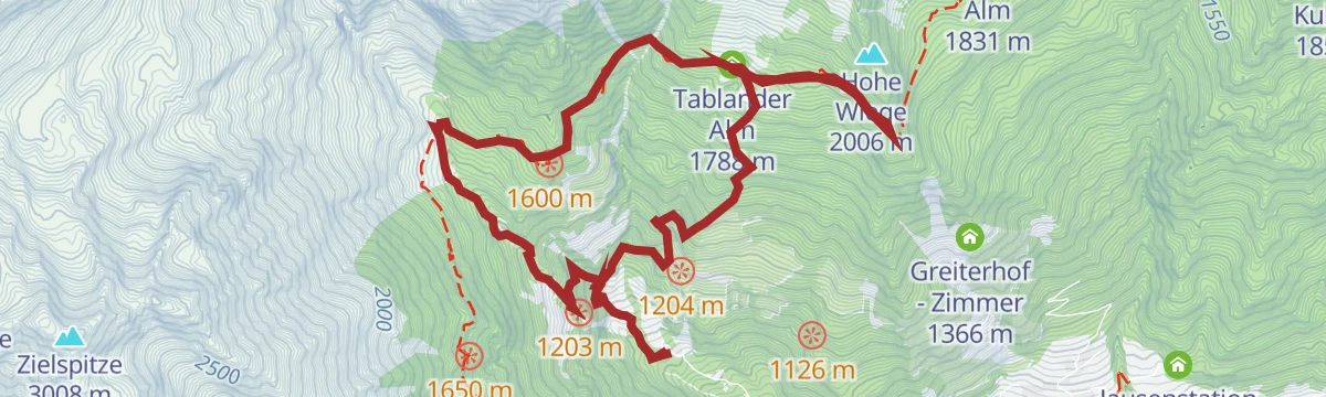
Open route Partschins - Rabland - TöllAlta Via di Merano: Giggelberg – Rifugio Nasereit - Rifugio Casa del Valico – Malga Leiter
A high stage of the Meraner Höhenweg from Giggelberg past the Nasereit and Hochgang huts to the Leiteralm, on the sunny flank of the Texelgruppe.
- 11.4 km
- Distance
- 676 m
- Ascent
- 4 h 49 min
- Duration
- 76
- Check-ins
- Leiteralm - Malga Leiter 1 550 m
- Schutzhaus Hochgang - Rifugio Casa del Valico 1 839 m
- Gasthaus Giggelberg 1 576 m
- Schutzhütte Nasereit - Rifugio Nasereit 1 523 m
- Goidner Alm 1 831 m
- Tablander Alm 1 788 m
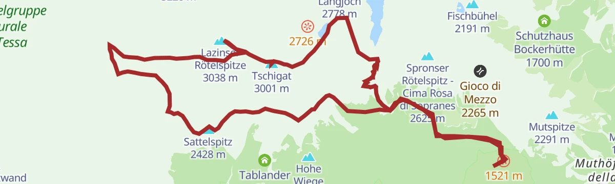
Open route Sterzing, Pfitsch und FreienfeldCigot e Cima rossa da Velloi
A very long day from Vellau linking the Tschigat with the Lazinser Rötelspitze, deep in the Texelgruppe and demanding sure footing throughout.
- 23.2 km
- Distance
- 2 140 m
- Ascent
- 13 h 22 min
- Duration
- 84
- Check-ins
- Tschigat 3 001 m
- Kleiner Tschigat 2 961 m
- Lazinser Rötelspitze 3 038 m
- Sattelspitz 2 428 m
- Leiteralm - Malga Leiter 1 550 m
- Schutzhaus Hochgang - Rifugio Casa del Valico 1 839 m
- +5
Open route Sterzing, Pfitsch und FreienfeldLa pista ciclabile dell’Adige: da Marlengo a Malles
The Adige cycle path up the Vinschgau from Marlengo to Mals, past Kastelbell and the Quellensee.
- 63.4 km
- Distance
- 763 m
- Ascent
- 6 h 6 min
- Duration
- 73
- Check-ins
- Rifugio 375 m
- Quellensee 655 m
- Informationsbüro Kastelbell - Tschars - Associazione turistica di Castelbello - Ciardes 584 m
- Moser's Speckhäusl 626 m
- Tourismusverein Marling 363 m
- Bar Seilbahn 633 m
- +4
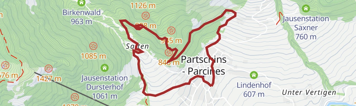
Open route Sterzing, Pfitsch und FreienfeldSull’Alta Via di Merano ovest ai masi storici del Monte Sole di Parcines
An easy stretch of the western Meraner Höhenweg past old farmsteads on the sunny side of Parcines, at its best when the larches turn.
- 6.2 km
- Distance
- 154 m
- Ascent
- 3 h 11 min
- Duration
- 16
- Check-ins
Open route Partschins - Rabland - TöllDa Parcines attraverso il Saxnerweg e il sentiero Felsenweg fino a Alta Muta
A climb from the middle of Parcines on the Saxnerweg and the Vellau rock path to the Hochmuth lift station, exposed in places and needing a sure step.
- 8.0 km
- Distance
- 897 m
- Ascent
- 4 h 1 min
- Duration
- 56
- Check-ins
- Gasthaus Steinegg 1 443 m
- Gasthof Hochmuth 1 362 m
- Berggasthof Oberhochmuthof 1 370 m
- Jausenstation Saxner 760 m
- Buschenschank Gruberhof 916 m
- Gasthaus Gasteiger 915 m
- +1
Open route Partschins - Rabland - TöllCima Rossa di Lagundo dalla Malga Leiter
From the Leiteralm by the pass path and the Hochganghaus up to the Spronser Rötelspitze, with the Spronser lakes and the Texelgruppe spread out below.
- 12.3 km
- Distance
- 1 197 m
- Ascent
- 7 h 24 min
- Duration
- 64
- Check-ins
- Spronser Rötelspitz - Cima Rosa di Sopranes 2 625 m
- Leiteralm - Malga Leiter 1 550 m
- Schutzhaus Hochgang - Rifugio Casa del Valico 1 839 m
- Hochgangscharte - Passo del Valico 2 455 m
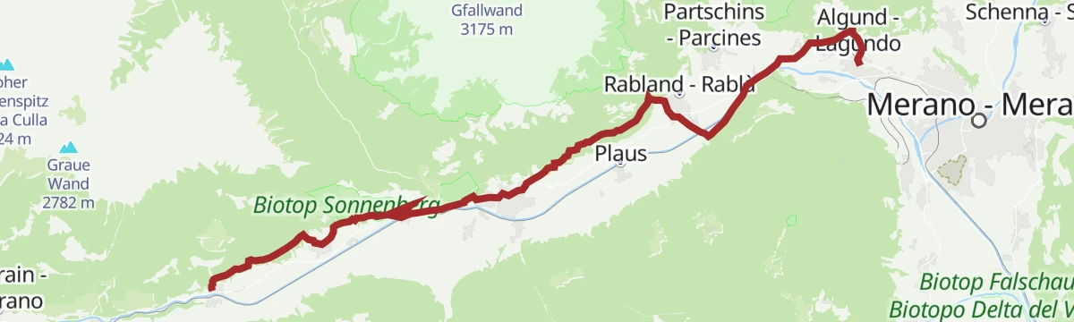
Open route Sterzing, Pfitsch und FreienfeldCiclabile dell' Adige Via Claudia Augusta - tappa Rablà-Resia
A long stage up the Vinschgau from Rablà to the Resia pass, climbing steadily beside the Adige on the Via Claudia Augusta route.
- 75.7 km
- Distance
- 1 109 m
- Ascent
- 7 h 25 min
- Duration
- 71
- Check-ins
- Roby Keller 1 479 m
- Moser's Speckhäusl 626 m
- Bar Seilbahn 633 m
- Radtreff Fischteich Brugg - Punto d'incontro per ciclisti Laghetto di pesca Brugg 817 m
- Informationsbüro Burgeis 1 228 m
- Zeress 1 454 m
- +8
Open route Sterzing, Pfitsch und FreienfeldSentiero alpino della Cascata – anello con le scale del maso Fletscher
A loop that passes behind the Partschins waterfall among small cascades and green pools, with the steep Fletscher farm steps on the way down.
- 2.7 km
- Distance
- 259 m
- Ascent
- 1 h 48 min
- Duration
- 13
- Check-ins
Open route Partschins - Rabland - TöllAlta Via di Merano 2a tappa: Dalla stazione a monte della funivia Texelbahn attraverso la “Valle dei Mille Gradini” fino a Monte Santa Caterina/Val Senales
A stage of the hundred-kilometre Meraner Höhenweg from the Texelbahn across gorges and suspension bridges, 987 steps in all, to Katharinaberg in the Schnalstal.
- 14.3 km
- Distance
- 638 m
- Ascent
- 5 h 26 min
- Duration
- 50
- Check-ins
- Gasthaus Giggelberg 1 576 m
- Pirchhof 1 442 m
- Linthof 1 464 m
- Hofschank Wald 1 510 m
- Galmein 1 393 m
- Innerforch 1 461 m
- +2
Open route Partschins - Rabland - TöllAlta Via di Merano: Escursione nella Gola di 1.000 gradini
A long day on the Meraner Höhenweg through the gorge of the thousand steps, where the Lahnbach has cut its way down through the rock.
- 17.9 km
- Distance
- 1 341 m
- Ascent
- 8 h 57 min
- Duration
- 50
- Check-ins
- Gasthaus Giggelberg 1 576 m
- Pirchhof 1 442 m
- Unterstellhof 1 290 m
- Birkenwald 963 m
- Galmein 1 393 m
- Innerforch 1 461 m
Open route Partschins - Rabland - TöllBy bike from medieval charm to Mediterranean flair – from Glurns to Neumarkt
A long, almost flat point-to-point down the Etschtal from the walled town of Glurns to Neumarkt, on cycle paths through orchards and vineyards.
- 105.5 km
- Distance
- 0 m
- Ascent
- 9 h 36 min
- Duration
- 70
- Check-ins
- Maso al Lago - Schenk 237 m
- Quellensee 655 m
- Informationsbüro Kastelbell - Tschars - Associazione turistica di Castelbello - Ciardes 584 m
- Nationalpark Stelvio 913 m
- Moser's Speckhäusl 626 m
- Castelfeder - Grill-Imbiss - ristoro 221 m
- +5
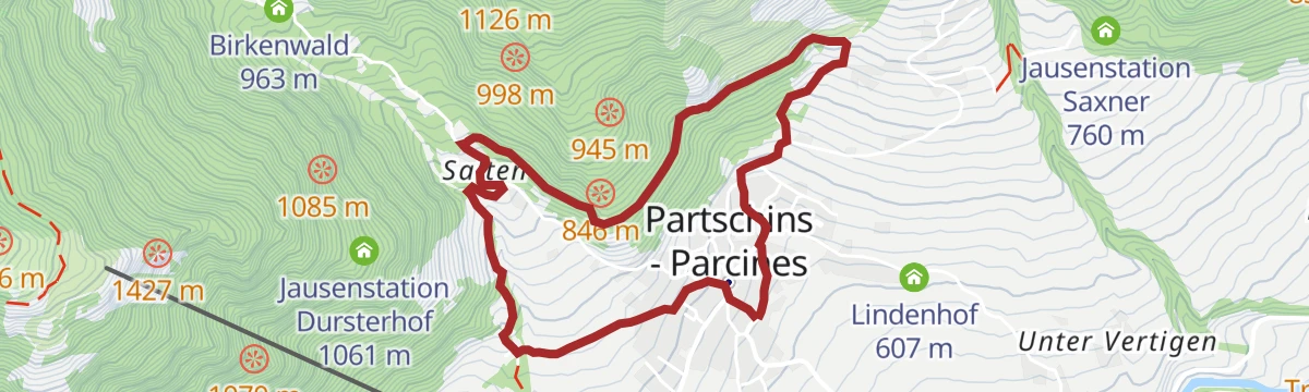
Open route Südtirols SüdenCascata di Parcines -Tablà – Alta Via di Parcines – Saxner - Parcines (sentiero Terrainkur n° 4)
A Terrainkur circuit from the Partschins waterfall up to Tabland and back by the Saxner path, alternating shaded wood with open terrace.
- 6.3 km
- Distance
- 224 m
- Ascent
- 2 h 41 min
- Duration
- 8
- Check-ins
Open route Partschins - Rabland - TöllSull’Alta Via di Merano: da Giggelberg a Unterstell
A high-level stage from the Texelbahn at Giggelberg to the Unterstell lift above Naturns, taking in the suspension bridge at the thousand steps.
- 8.2 km
- Distance
- 406 m
- Ascent
- 3 h 30 min
- Duration
- 44
- Check-ins
- Gasthaus Giggelberg 1 576 m
- Pirchhof 1 442 m
- Unterstellhof 1 290 m
- Galmein 1 393 m
- Innerforch 1 461 m
Open route Partschins - Rabland - TöllEscursione alpina alla vetta del Tschigat - Monte Cigot (3.000 m.)
A long alpine day to the 3,000 m Tschigat, one of thirteen three-thousanders in the Parcines district, finishing up an exposed and partly loose west ridge.
- 23.8 km
- Distance
- 1 834 m
- Ascent
- 11 h 56 min
- Duration
- 45
- Check-ins
- Tschigat 3 001 m
- Kleiner Tschigat 2 961 m
- Gasthaus Giggelberg 1 576 m
- Schutzhütte Nasereit - Rifugio Nasereit 1 523 m
- Halsljoch - Passo di Lazins 2 808 m
- Lodnerhütte - Rifugio Cima Fiammante 2 259 m
- +3
Open route Partschins - Rabland - TöllCiclabile dell' Adige Via Claudia Augusta
A long stretch of the cycle route that follows the old Roman road along the Adige, running down the valley past Algund and Merano.
- 79.1 km
- Distance
- 1 295 m
- Ascent
- 7 h 49 min
- Duration
- 68
- Check-ins
- Roby Keller 1 479 m
- Moser's Speckhäusl 626 m
- Tourismusbüro Algund 351 m
- Bar Seilbahn 633 m
- Radtreff Fischteich Brugg - Punto d'incontro per ciclisti Laghetto di pesca Brugg 817 m
- Informationsbüro Burgeis 1 228 m
- +9
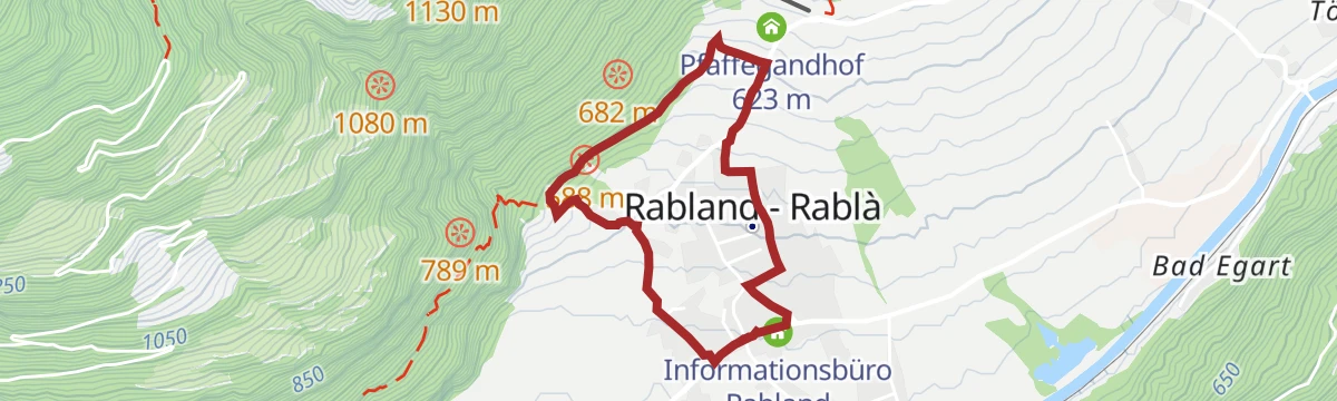
Open route Sterzing, Pfitsch und FreienfeldAnello del sentiero della roggia di Rablà
A short flat loop along the Rabland irrigation channel, still fed by the Zielbach and still watering the village orchards.
- 3.3 km
- Distance
- 69 m
- Ascent
- 56 min
- Duration
- 7
- Check-ins
Open route Partschins - Rabland - TöllAlta Via di Merano n° 24 – dalla funivia Texelbahn via Culla Alta e Rifugio Casa Valico fino a Parcines
A stage of the Meraner Höhenweg from the Texelbahn by the Hohe Wiege and the Hochganghaus, then down to Parcines with the Merano basin in view.
- 13.4 km
- Distance
- 617 m
- Ascent
- 6 h 21 min
- Duration
- 42
- Check-ins
- Schutzhaus Hochgang - Rifugio Casa del Valico 1 839 m
- Gasthaus Giggelberg 1 576 m
- Schutzhütte Nasereit - Rifugio Nasereit 1 523 m
- Goidner Alm 1 831 m
- Tourismusbüro Partschins 635 m
- Tablander Alm 1 788 m
Open route Partschins - Rabland - TöllEscursione alpinistica alla Cima Rosa di Parcines / Rötelspitz (3.037 m)
A mountaineering day up the wild Zieltal to the Lodnerhütte, then over blocky ground to the 3,037 m Rötelspitze at the valley head.
- 23.6 km
- Distance
- 1 873 m
- Ascent
- 12 h 5 min
- Duration
- 37
- Check-ins
- Lazinser Rötelspitze 3 038 m
- Gasthaus Giggelberg 1 576 m
- Schutzhütte Nasereit - Rifugio Nasereit 1 523 m
- Halsljoch - Passo di Lazins 2 808 m
- Lodnerhütte - Rifugio Cima Fiammante 2 259 m
- Zielalm 2 196 m
- +2
Open route Partschins - Rabland - TöllLa pista ciclabile dell’Adige: da Malles a Marlengo
A long, mostly downhill run through the Vinschgau beside the young Etsch, passing Latsch and the anglers' cyclist stop at Brugg on the way to Meran.
- 60.9 km
- Distance
- 53 m
- Ascent
- 5 h 40 min
- Duration
- 51
- Check-ins
- Rifugio 375 m
- Moser's Speckhäusl 626 m
- Bar Seilbahn 633 m
- Radtreff Fischteich Brugg - Punto d'incontro per ciclisti Laghetto di pesca Brugg 817 m
- Laterne 516 m
- Tourismusverein Latsch-Martell - Associazione Turistica Laces-Martello 641 m
- +4
Open route Sterzing, Pfitsch und FreienfeldSentiero circolare del Mühlwaal – lungo antichi canali d’irrigazione
A loop along the Mühlwaal, an old channel restored in 2011 that still waters the Rabland orchards and doubles as a winter fire supply.
- 4.9 km
- Distance
- 111 m
- Ascent
- 1 h 42 min
- Duration
- 6
- Check-ins
Open route Partschins - Rabland - TöllDove parla l’acqua – lungo antichi sentieri verso la Cascata di Parcines
A walk on old paths and irrigation channels above Parcines, with running water most of the way and the waterfall as the turning point.
- 9.7 km
- Distance
- 189 m
- Ascent
- 3 h 47 min
- Duration
- 38
- Check-ins
- Gasthaus Giggelberg 1 576 m
- Schutzhütte Nasereit - Rifugio Nasereit 1 523 m
- Gasthaus Wasserfall 1 069 m
- Birkenwald 963 m
- Tourismusbüro Partschins 635 m
Open route Partschins - Rabland - TöllEscursione alpinistica al Roteck / Monte Rosso (3.337 m)
The ascent of the Roteck, highest peak of the Texelgruppe, by the long Zieltal approach; best split over two days with a night at the Lodnerhütte.
- 23.6 km
- Distance
- 2 353 m
- Ascent
- 14 h 28 min
- Duration
- 31
- Check-ins
- Roteck 3 337 m
- Gasthaus Giggelberg 1 576 m
- Schutzhütte Nasereit - Rifugio Nasereit 1 523 m
- Lodnerhütte - Rifugio Cima Fiammante 2 259 m
- Zielalm 2 196 m
- Gingglalm 1 950 m
Open route Partschins - Rabland - TöllCiclabile dell' Adige tappa Rablà-Bolzano
A gentle downhill valley stage following the Adige from Rablà through Merano and Gargazzone down to Bolzano.
- 43.2 km
- Distance
- 63 m
- Ascent
- 3 h 59 min
- Duration
- 21
- Check-ins
- Rifugio 375 m
- Laterne 516 m
- Naturbar 257 m
- Naturbad Gargazon 255 m
- Minigolf Treff Algund 376 m
- Al Puntogiusto 257 m
Open route Sterzing, Pfitsch und FreienfeldSentiero Badlweg & Via Claudia Augusta – escursione circolare a Rablà (sentiero Terrainkur n° 7)
An easy valley-floor loop at Rabland on the Badlweg and a surviving stretch of the Roman Via Claudia Augusta, flat through wood and riverside.
- 3.8 km
- Distance
- 28 m
- Ascent
- 58 min
- Duration
- 3
- Check-ins
Open route Partschins - Rabland - TöllSull'Alta Via di Merano n° 24 verso la cascata di Parcines
A stretch of the Meraner Höhenweg with a varied descent past old farmsteads to the Partschins waterfall.
- 10.9 km
- Distance
- 309 m
- Ascent
- 4 h 29 min
- Duration
- 38
- Check-ins
- Gasthaus Giggelberg 1 576 m
- Schutzhütte Nasereit - Rifugio Nasereit 1 523 m
- Gasthaus Wasserfall 1 069 m
- Birkenwald 963 m
Open route Partschins - Rabland - TöllEscursione circolare alla vetta della Sattelspitze (2428 m)
A demanding round linking the Meraner Höhenweg with the Zieltal, the Lodnerhütte and the Franz Huber path to the 2,428 m Sattelspitze.
- 19.2 km
- Distance
- 1 397 m
- Ascent
- 9 h 12 min
- Duration
- 30
- Check-ins
- Sattelspitz 2 428 m
- Gasthaus Giggelberg 1 576 m
- Schutzhütte Nasereit - Rifugio Nasereit 1 523 m
- Lodnerhütte - Rifugio Cima Fiammante 2 259 m
- Zielalm 2 196 m
- Gingglalm 1 950 m
- +1
Open route Partschins - Rabland - TöllDa Naturno al Lago di Caldaro
A long, nearly flat run down the Adige from Naturno by Lana and San Paolo to the Kalterer See.
- 56.9 km
- Distance
- 203 m
- Ascent
- 5 h 21 min
- Duration
- 15
- Check-ins
- Castel Ringberg 306 m
- Laterne 516 m
- Naturbar 257 m
- Naturbad Gargazon 255 m
- Minigolf Treff Algund 376 m
- Al Puntogiusto 257 m
Open route Sterzing, Pfitsch und FreienfeldPasseggiata ad anello dei meleti
A gentle loop through the apple orchards of Parcines and Rablà, level and well surfaced enough for a pushchair.
- 4.2 km
- Distance
- 115 m
- Ascent
- 1 h 16 min
- Duration
- 1
- Check-ins
Open route Partschins - Rabland - TöllSull’Alta Via di Merano fino al Sentiero alpino della Cascata
A varied outing on the Meraner Höhenweg with a return between water and rock, past turquoise pools and the Partschins waterfall.
- 9.6 km
- Distance
- 247 m
- Ascent
- 4 h 3 min
- Duration
- 38
- Check-ins
- Gasthaus Giggelberg 1 576 m
- Schutzhütte Nasereit - Rifugio Nasereit 1 523 m
- Gasthaus Wasserfall 1 069 m
- Birkenwald 963 m
Open route Partschins - Rabland - TöllValle Zieltal - Escursione tra rifugi e baite
A hard walk into the Zieltal behind Parcines, past the Nasereit hut and up beside the torrent and its waterfalls to the Lodnerhütte.
- 15.8 km
- Distance
- 1 088 m
- Ascent
- 7 h 16 min
- Duration
- 30
- Check-ins
- Gasthaus Giggelberg 1 576 m
- Schutzhütte Nasereit - Rifugio Nasereit 1 523 m
- Lodnerhütte - Rifugio Cima Fiammante 2 259 m
- Zielalm 2 196 m
- Gingglalm 1 950 m
Open route Partschins - Rabland - TöllSentiero escursionistico per famiglie Quadrato
A family loop on wide forest tracks at Quadrat, with hands-on stations, art pieces and benches along the way; suitable for pushchairs.
- 2.6 km
- Distance
- 94 m
- Ascent
- 51 min
- Duration
- 1
- Check-ins
Open route Partschins - Rabland - TöllDa Rio Lagundo al Monte San Vigilio
A medium loop on the sunny terraces between Rio Lagundo and San Vigilio, high above the Val Venosta on the Monte Tramontana slope.
- 12.0 km
- Distance
- 729 m
- Ascent
- 5 h 1 min
- Duration
- 33
- Check-ins
- Gasthof Jocher - Albergo Giogo 1 771 m
- Schwarze Lacke - Pozza nera 1 743 m
- Vigiljoch - Monte San Vigilio 1 747 m
- Gasthaus Seespitz 1 747 m
- Bergchalet Refugium Martius 1 271 m
Open route Partschins - Rabland - TöllEscursione alla vetta Zielspitz/Cima Zielspitz (3.006 m)
The ascent of the 3,006 m Zielspitze, landmark peak of Parcines and the southern corner of the Texelgruppe between the Schnalstal and the Adige.
- 18.4 km
- Distance
- 1 838 m
- Ascent
- 11 h 18 min
- Duration
- 29
- Check-ins
Open route Partschins - Rabland - TöllAnello del sentiero della roggia di Parcines
A loop on the Partschins channel path, cut in the fifteenth century by the lords of Stachlburg and still in use, passing birch shade and prehistoric cup stones.
- 4.8 km
- Distance
- 190 m
- Ascent
- 1 h 35 min
- Duration
Open route Partschins - Rabland - TöllDa Lagundo/Tell lungo il Waalweg di Marlengo - sentiero dell'acqua
The Marlinger Waalweg, longest of the South Tyrolean channel paths, running level from the Töll bridge through orchards past Schloss Lebenberg down to Lana.
- 10.7 km
- Distance
- 49 m
- Ascent
- 2 h 47 min
- Duration
- 32
- Check-ins
- Wieser-Hütte 468 m
- Leitenschenke 451 m
- Waalerhütte 482 m
- Aqualis - Restaurant, Café 492 m
- Gasthaus Schönblick 482 m
- Peilerhof 492 m
Open route Sterzing, Pfitsch und FreienfeldCammino di San Giacomo (Jakobsweg) in Alto Adige – 12ª tappa: Lagundo – Castelbello
The twelfth South Tyrolean stage of the way of St James, running the length of the lower Val Venosta from Lagundo to Castelbello.
- 24.7 km
- Distance
- 807 m
- Ascent
- 7 h 34 min
- Duration
- 22
- Check-ins
- Informationsbüro Kastelbell - Tschars - Associazione turistica di Castelbello - Ciardes 584 m
- Tourismusbüro Algund 351 m
- Laterne 516 m
- Guldhof 655 m
- Panoramahotel Himmelreich 658 m
- Falzrohr 652 m
- +2
Open route Partschins - Rabland - TöllEscursione nel bosco alto del Monte Tramontana
An out-and-back walk on a wide shaded forest road on the Monte Tramontana above Lagundo, level enough for pushchairs.
- 4.8 km
- Distance
- 124 m
- Ascent
- 1 h 26 min
- Duration
Open route Partschins - Rabland - TöllIl sentiero della roggia di Marlengo – escursione panoramica da Tel
The Marling channel path from Töll, nearly level for twelve kilometres above the valley; at its finest during the apple blossom and again in autumn.
- 10.8 km
- Distance
- 46 m
- Ascent
- 2 h 48 min
- Duration
- 31
- Check-ins
- Wieser-Hütte 468 m
- Leitenschenke 451 m
- Waalerhütte 482 m
- Aqualis - Restaurant, Café 492 m
- Gasthaus Schönblick 482 m
Open route Partschins - Rabland - TöllEscursione all’alba sull’Alta Via di Merano fino al punto panoramico “Hohe Wiege”
A pre-dawn climb on the Meraner Höhenweg to the Hohe Wiege lookout for sunrise, with breakfast at the Nasereit hut and the waterfall on the way down.
- 11.8 km
- Distance
- 985 m
- Ascent
- 6 h 18 min
- Duration
- 22
- Check-ins
- Schutzhütte Nasereit - Rifugio Nasereit 1 523 m
- Gasthaus Wasserfall 1 069 m
- Birkenwald 963 m
- Tablander Alm 1 788 m
Open route Partschins - Rabland - TöllIl sentiero delle leggende di Parcines
A walk on the legends path above Parcines, past prehistoric cup stones, a cave said to be a witch's dwelling and the slab marked with the devil's prints.
- 5.6 km
- Distance
- 313 m
- Ascent
- 2 h 13 min
- Duration
Open route Partschins - Rabland - TöllIl sentiero della roggia di Marlengo, il più lungo dell’Alto Adige
A walk of about twelve kilometres beside the Marling channel, cut some 270 years ago, from the Töll bridge through orchards to Lana.
- 10.8 km
- Distance
- 37 m
- Ascent
- 2 h 47 min
- Duration
- 31
- Check-ins
- Wieser-Hütte 468 m
- Leitenschenke 451 m
- Waalerhütte 482 m
- Aqualis - Restaurant, Café 492 m
- Gasthaus Schönblick 482 m
Open route Partschins - Rabland - TöllPasseggiata delle castagne di Vertigen
A short loop through the chestnut groves and meadows at Vertigen above Parcines, best in autumn when the nuts drop; fine with a pushchair.
- 2.7 km
- Distance
- 100 m
- Ascent
- 52 min
- Duration
Open route Partschins - Rabland - TöllPercorso circolare Elisabeth - sul sentiero alpinistico Cascata al Rifugio Nasereit
A circuit past the Partschins waterfall and the Elisabeth spring, climbing the waterfall alpine path to the Nasereit hut on the Meraner Höhenweg.
- 7.8 km
- Distance
- 627 m
- Ascent
- 4 h 5 min
- Duration
- 24
- Check-ins
- Schutzhütte Nasereit - Rifugio Nasereit 1 523 m
- Gasthaus Wasserfall 1 069 m
- Birkenwald 963 m
- Jausenstation Dursterhof 1 061 m
Open route Partschins - Rabland - TöllSentiero dei masi di Quadrato
A family walk to the centuries-old farmsteads of Quadrat on the shady side of Parcines, with the Adige valley spread out below.
- 3.1 km
- Distance
- 129 m
- Ascent
- 59 min
- Duration
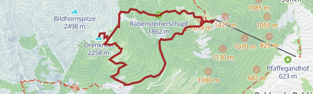
Open route Partschins - Rabland - TöllEscursione circolare alla vetta dell’Orenknott (2.258 m)
A round from the Texelbahn to the Orenknott, a 2,258 m lookout on the ridge towards the Zielspitze, with the Adige valley and the Dolomites in sight.
- 7.7 km
- Distance
- 799 m
- Ascent
- 4 h 53 min
- Duration
- 22
- Check-ins
Open route Partschins - Rabland - Töll
No routes of this kind in Parcines/Partschins yet.
The region's own picks
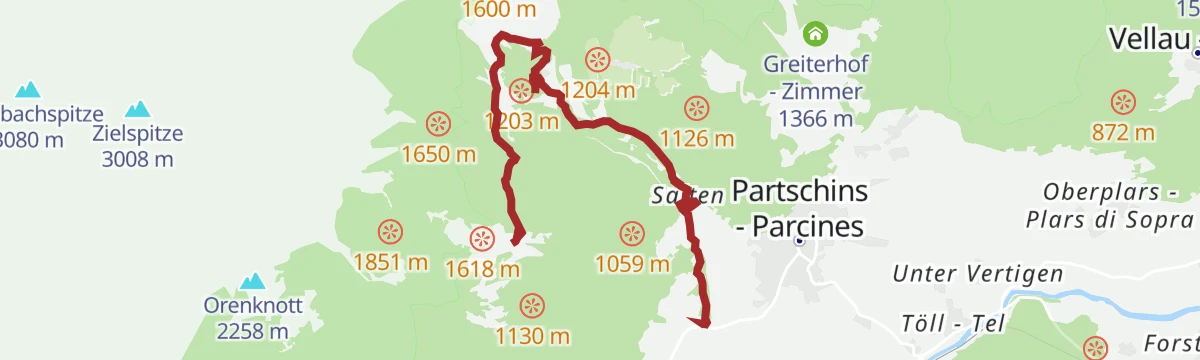
Featured route
La cascata di Parcines dalla stazione a monte della funivia Texelbahn - lungo la via dei masi
A near-level route from the top of the Texelbahn along the old farm path to the Parcines waterfall, which drops 97 m.
Planning a trip to Parcines/Partschins?
Everything else Trentino-Alto Adige/Südtirol has, in one place


Take Parcines/Partschins with you into the mountains
Every route on this page with 3D terrain, GPX navigation and offline maps — including the valleys with no signal.
Data sources
- Official website: suedtirol.info ↗
- Routes and highlights: Partschins - Rabland - Töll, Sterzing, Pfitsch und Freienfeld, Italia.it, Südtirols Süden
- Published as open data by the tourist boards named above.
- Region summary generated from the board's own material.
