










Curated by APT Valsugana e Lagorai
Palù del Fersina
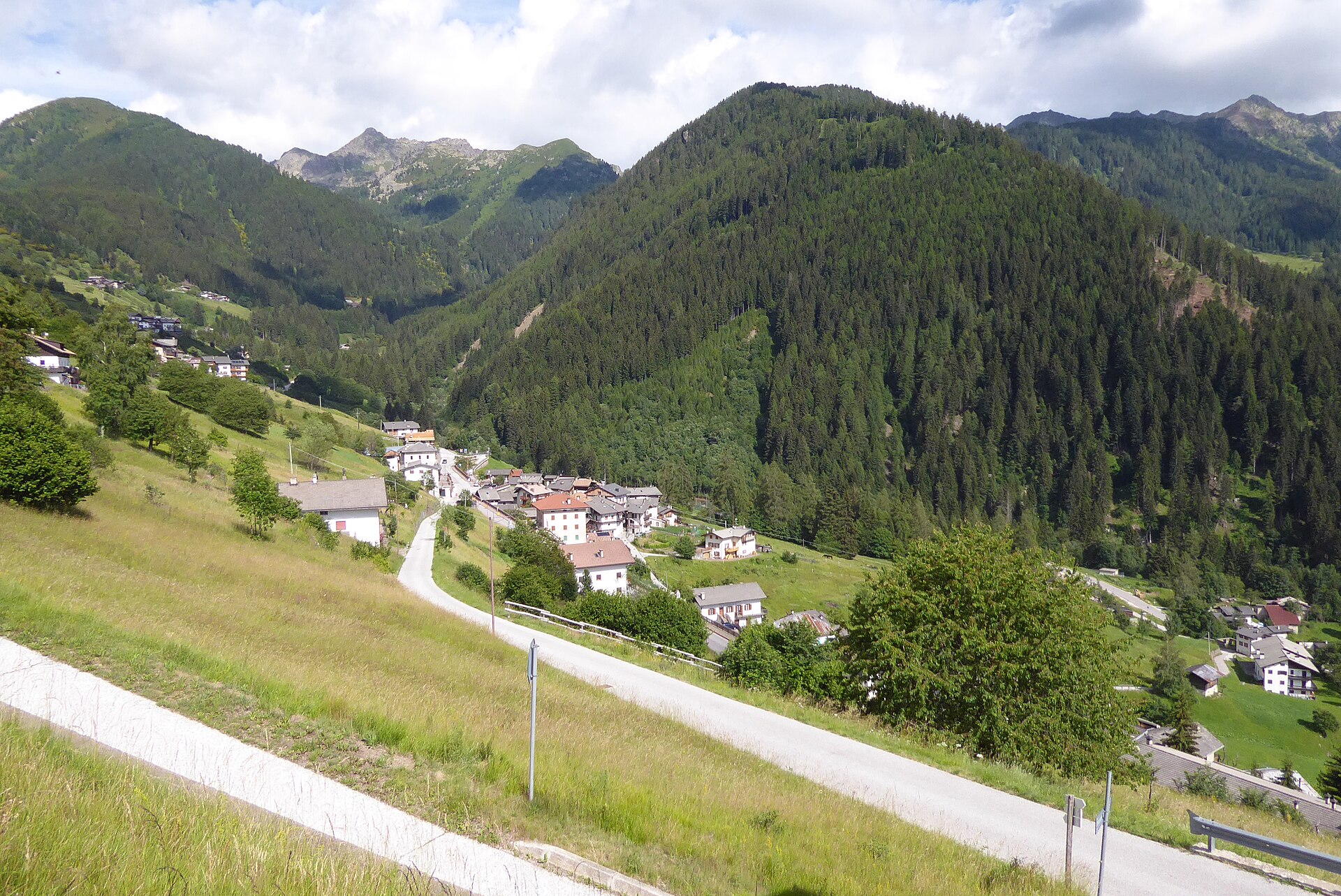
The highest village of the German-speaking Mòcheni valley, under the Gronlait and Fravort of the Lagorai.
Photo: Syrio · CC BY-SA 4.0 licence
- 23Routes
- Featured summit · Fravort
Routes
Erdemolo via ferrata
An equipped route on the wooded slope above the Erdemolo mine in the Mòcheno valley, 715 metres of cable graded from moderate to hard.
- 6.3 km
- Distance
- 525 m
- Ascent
- 4 h 16 min
- Duration
Open route APT Valsugana e LagoraiLago di Erdemolo L
A short shoreline stretch at the Erdemolo lake, high in the Fersina valley above Palù.
- 546 m
- Distance
- 11 m
- Ascent
- 9 min
- Duration
- 41
- Check-ins
The two-refuges ring
A ring from Frotten in Palù del Fersina over pasture, wood and scree to the Erdemolo lake, linking two refuges above the Fersina.
- 10.6 km
- Distance
- 831 m
- Ascent
- 5 h 5 min
- Duration
- 77
- Check-ins
 Rifugio Sette Selle 2 014 m
- Hitt van Sea va Hardimbl - Rifugio Lago di Erdemolo 2 006 m
 Sea va Hardimbl - Lago di Erdemolo 1 994 m
Open route APT Valsugana e LagoraiEtappe 12 Palau im Fersental/Palù del Fersina
A long stage from the town hall square in Palù del Fersina over three summits, the Fravort among them, on the ridge above the Mòcheno valley.
- 22.9 km
- Distance
- 1 310 m
- Ascent
- 10 h 48 min
- Duration
- 243
- Check-ins
Ski mountaineering - Pizzo Alto
A well-travelled ski tour to the Pizzo Alto above Palù del Fersina, with good snow in the forest and a final slope that needs judging.
- 7.0 km
- Distance
- 722 m
- Ascent
- 718 m
- Descent
- 2 h 45 min
- Duration
- 30
- Check-ins
Open route APT Valsugana e LagoraiHigh altitude route of the Valle dei Mocheni starting from Piné
A circuit on forest and minor roads over Passo del Redebus and up to La Bassa below the Panarotta, past Malga Pletzn and the Scalzerhof.
- 61.3 km
- Distance
- 2 515 m
- Ascent
- 7 h 49 min
- Duration
- 94
- Check-ins
 La Bassa 1 834 m
- Passo del Redebus - Sontbisn 1 455 m
- agritur Scalzerhof 1 534 m
- Malga Pletzn 1 600 m
- Garage Mezzi Battipista sci da fondo 1 461 m
- APT Piné 974 m
- +13
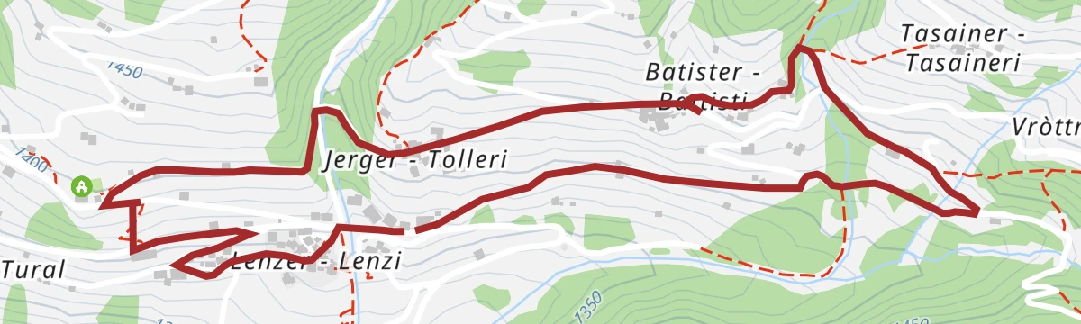
Open route APT TrentoThe Masi di Palù farmsteads ring
An easy loop among the scattered farmsteads of Palù del Fersina, settled when colonists cleared the valley in the 13th and 14th centuries, passing the Lenzi mill.
- 4.6 km
- Distance
- 322 m
- Ascent
- 1 h 59 min
- Duration
- 9
- Check-ins
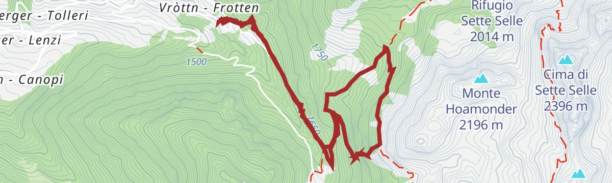
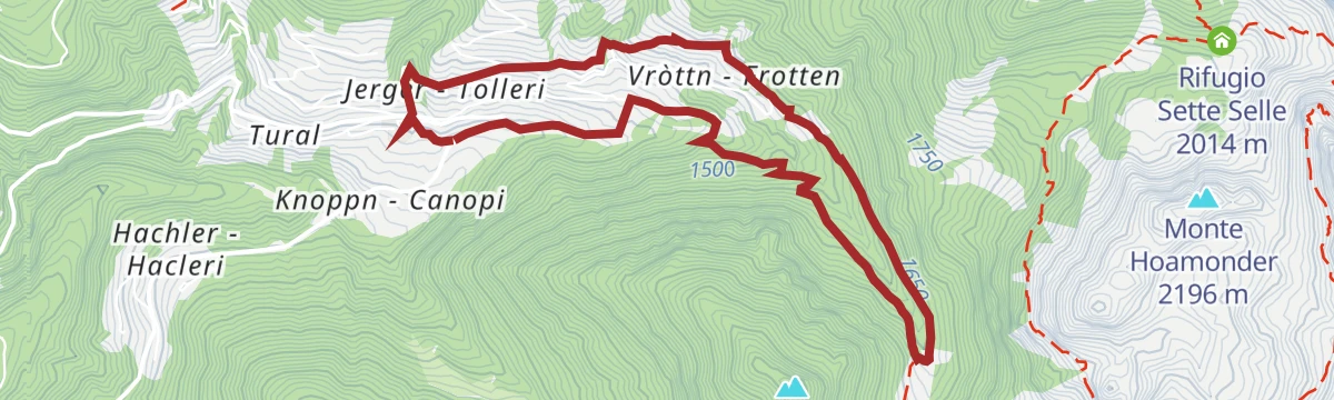
Open route APT Valsugana e LagoraiThe Musil literary trail | Palù mine and mountains
A loop from the hamlet of Vròttn to the old Erdemolo mine, then higher through forest and pasture to a mountain hut, tracing the valley's mining past.
- 7.2 km
- Distance
- 651 m
- Ascent
- 4 h 5 min
- Duration
- 55
- Check-ins
Open route APT Valsugana e LagoraiTappa 12 Palau im Fersental/Palù del Fersina
A long ridge stage above Palù del Fersina, starting at the village fountain and taking in three summits on the edge of the Lagorai.
- 22.9 km
- Distance
- 1 310 m
- Ascent
- 10 h 48 min
- Duration
- 243
- Check-ins
Glück Auf
A path along the Fersina from the Pèrgmandlhaus museum up to the Erdemolo mine, with seven stations on the miners and their work.
- 3.1 km
- Distance
- 346 m
- Ascent
- 1 h 26 min
- Duration
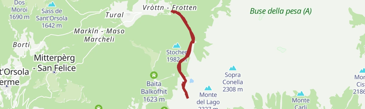
Open route APT Valsugana e LagoraiLake Erdemolo
A climb to the Erdemolo lake, tarmac at first and then path, ending in a rocky hollow under the Pizzo Alto where a patch of snow lasts all summer.
- 6.0 km
- Distance
- 506 m
- Ascent
- 3 h 13 min
- Duration
- 41
- Check-ins
- Hitt van Sea va Hardimbl - Rifugio Lago di Erdemolo 2 006 m
- Sea va Hardimbl - Lago di Erdemolo 1 994 m
Open route APT Valsugana e LagoraiGeotrekking - Rock glaciers
A high traverse over the Pizzo Alto, Monte del Lago and Cima delle Lepri, crossing tongues of rock debris left by the cold ages in the Lagorai.
- 11.3 km
- Distance
- 984 m
- Ascent
- 6 h 14 min
- Duration
- 111
- Check-ins
 Pizzo Alto 2 264 m
- Monte del Lago 2 327 m
- Cima delle Lepri 2 292 m
- Cima Cavè 2 296 m
- Rifugio Sette Selle 2 014 m
- Hitt van Sea va Hardimbl - Rifugio Lago di Erdemolo 2 006 m
- +4
Open route APT Valsugana e LagoraiThe Musil literary trail | Tour of Palù del Fersina
A village circuit on the trail of Robert Musil, who spent three months here as an Austro-Hungarian officer in 1915 and set his novella Grigia in the valley.
- 3.8 km
- Distance
- 128 m
- Ascent
- 1 h 12 min
- Duration
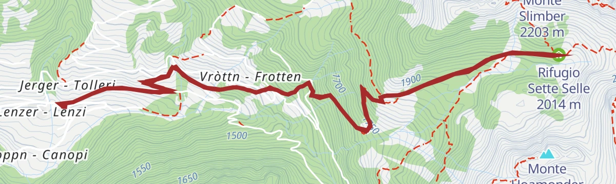
Open route APT Valsugana e LagoraiHike to Rifugio Sette Selle
A climb to the Rifugio Sette Selle, set high in the Intertol basin between the Slimber, Ezze and Sette Selle peaks of the Lagorai.
- 8.4 km
- Distance
- 637 m
- Ascent
- 4 h 9 min
- Duration
- 36
- Check-ins
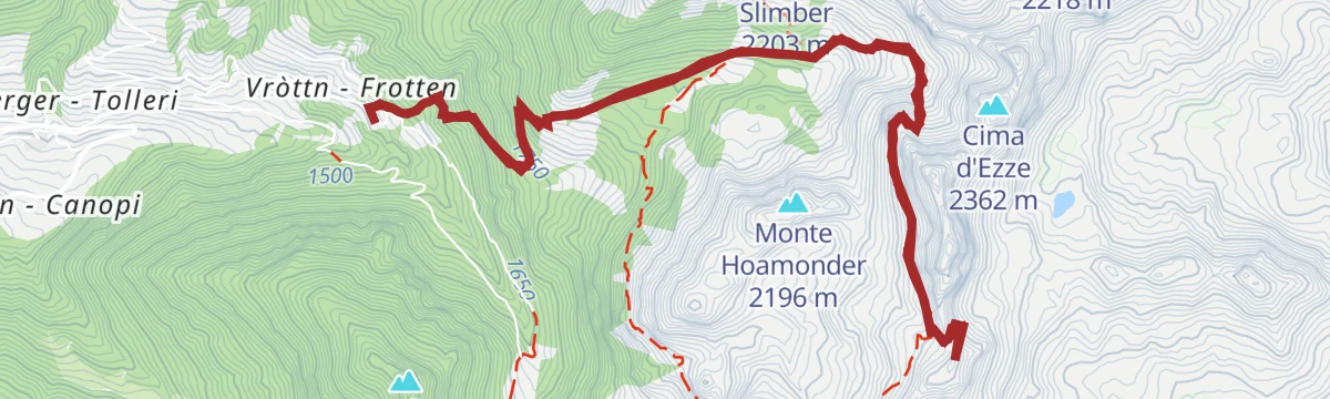
Open route APT Valsugana e LagoraiTrekking Cima d'Ezze - New Path "Delio Pace"
A route from the Sette Selle hut over Cima d'Ezze to Monte Slimber on restored wartime paths, with stirrups at the harder passages and trench remains at the forcella.
- 12.3 km
- Distance
- 878 m
- Ascent
- 5 h 48 min
- Duration
- 88
- Check-ins
- Cima Colombara 2 337 m
- Cima d'Ezze 2 362 m
- Monte Slimber 2 203 m
- Rifugio Sette Selle 2 014 m
- Passo dei Garofani 2 158 m
- agritur Scalzerhof 1 534 m
- +3
Open route APT Valsugana e LagoraiTrekking to the Pontara - Lemperperg Summit: watershed mountain between the Altopiano di Pinè and the val dei Mocheni
A quiet circuit over the Lemperperg, the watershed between the Pinè plateau and the Mòcheno valley, with the Malga Stramaiolo for lunch.
- 10.9 km
- Distance
- 551 m
- Ascent
- 4 h 1 min
- Duration
- 34
- Check-ins
- Lemperperg 2 004 m
- Passo del Redebus - Sontbisn 1 455 m
- Garage Mezzi Battipista sci da fondo 1 461 m
- Malga Pontara 1 629 m
- Passo Polpen-Folpeirn 1 939 m
- Baita ex malga Regnana - ASUC di Faida 1 486 m
- +5
Open route APT TrentoTrekking - Rifugio Sette Selle – Sasso Rosso
A long but straightforward climb from the Sette Selle hut to the Sasso Rosso, a classic viewpoint over the Mòcheno valley.
- 10.1 km
- Distance
- 998 m
- Ascent
- 6 h 9 min
- Duration
- 57
- Check-ins
Open route APT Valsugana e LagoraiThe Fersina falls / Bòsserspring trail
A trail beside the Fersina past a string of small waterfalls and the works built to hold the stream in check, on how water shaped this valley.
- 6.3 km
- Distance
- 362 m
- Ascent
- 2 h 31 min
- Duration
- 9
- Check-ins
Open route APT Valsugana e LagoraiTorrente Fersina A
A long, almost flat route following the Fersina torrent down the Mòcheno valley.
- 15.2 km
- Distance
- 37 m
- Ascent
- 5 h
- Duration
- 46
- Check-ins
- Hitt van Sea va Hardimbl - Rifugio Lago di Erdemolo 2 006 m
- Sea va Hardimbl - Lago di Erdemolo 1 994 m
- Casa Fersinale 536 m
- Laghetto Canezza 585 m
- Acquedotto 543 m
Open route Trentino FishingANELLO DEI MASI DI PALU'_lungo
The longer version of the farmstead loop at Palù del Fersina, taking in more of the scattered masi on the valley slopes.
- 7.1 km
- Distance
- 299 m
- Ascent
- 2 h 24 min
- Duration
Open route APT Valsugana e LagoraiEtappe 11 Bedollo
A stage across the Piné plateau from the village school towards Brusago, well waymarked, later crossing the Passo del Redebus.
- 17.4 km
- Distance
- 796 m
- Ascent
- 5 h 50 min
- Duration
- 28
- Check-ins
The Miners’ ring
A long circuit from the Pèrgmandlhaus museum along the Fersina to the Lenzi farm and the Erdemolo mine, following the valley's mining history.
- 23.4 km
- Distance
- 1 244 m
- Ascent
- 8 h 60 min
- Duration
- 15
- Check-ins
Open route APT Valsugana e LagoraiFrom Segonzano to Palù del Fersina along the E5
A section of the E5 over the Piné plateau, starting above the earth pyramids and running past lakes, woods and grazing pastures to the Redebus pass.
- 13.7 km
- Distance
- 997 m
- Ascent
- 5 h 25 min
- Duration
- 10
- Check-ins
Open route APT Trento
No routes of this kind in Palù del Fersina yet.
The region's own picks

Featured route
Lago di Erdemolo L
A short shoreline stretch at the Erdemolo lake, high in the Fersina valley above Palù.
Planning a trip to Palù del Fersina?
Everything else Trentino-Alto Adige/Südtirol has, in one place


Take Palù del Fersina with you into the mountains
Every route on this page with 3D terrain, GPX navigation and offline maps — including the valleys with no signal.
Data sources
- Official website: visitvalsugana.it ↗
- Routes and highlights: APT Valsugana e Lagorai, E5 Alps Crossing, APT Trento, Visit Trentino, Trentino Fishing
- Published as open data by the tourist boards named above.
- Region summary generated from the board's own material.
