
 Viewpoint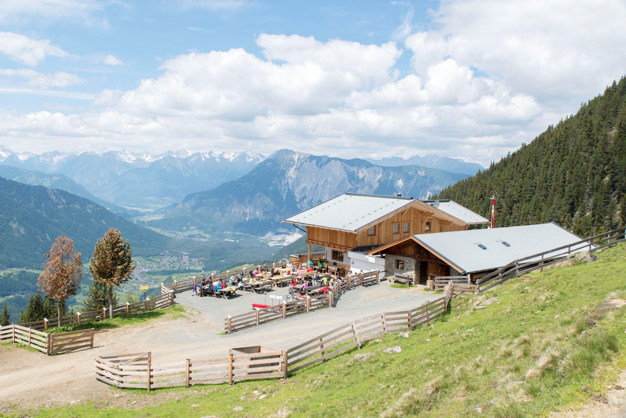

 Cable car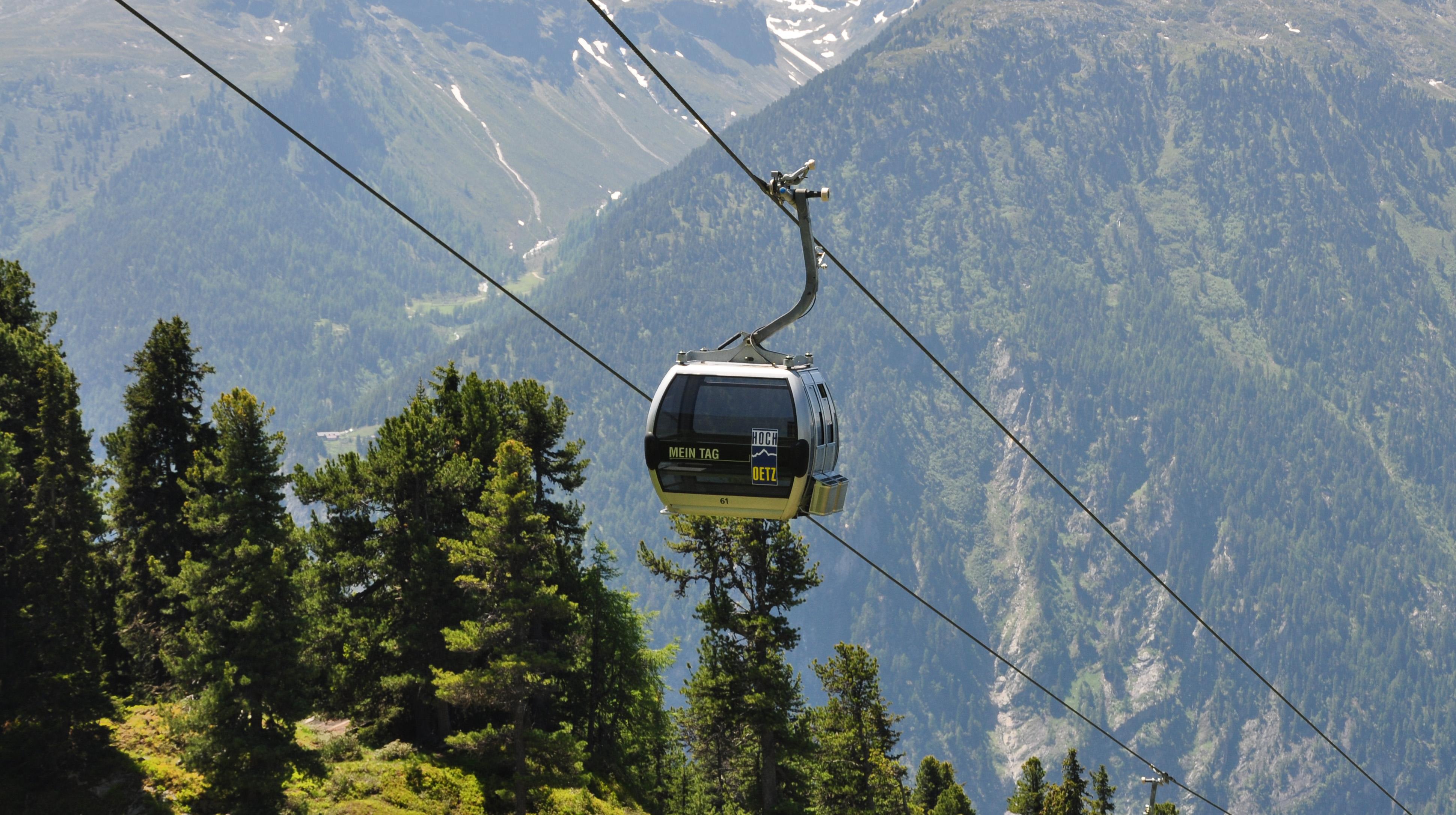

















Curated by Ötztal Tourismus
Oetz
First main village of the Ötztal, sheltered in a mild basin at the valley mouth, with the Piburger See, one of Tirol's warmest swimming lakes, on a wooded shelf above.
- 27Highlights
- 70Routes
- Featured summit · Wetterkreuzkogel
Highlights
The 20 highest-rated · see the rest on oetztal.com ↗
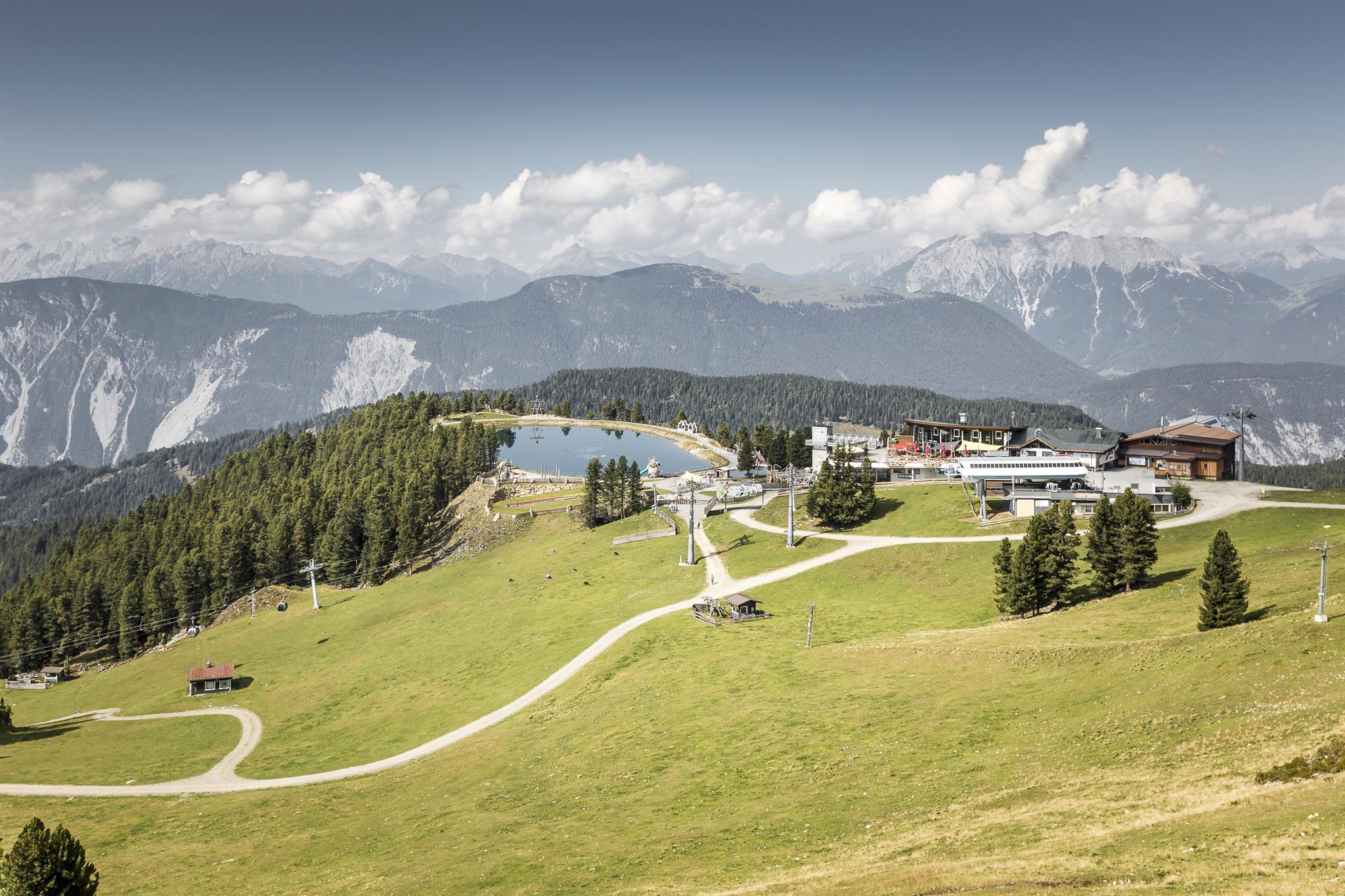
Rotes Wandl
A viewpoint 45 minutes from the Hochoetz top station, looking over the lower Ötztal and Inn valley to the Lechtal Alps and the Arlberg.
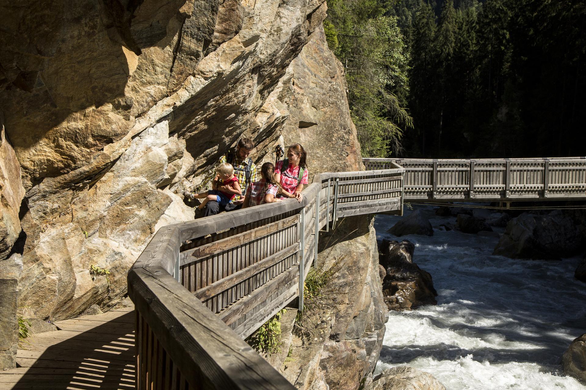
Auerklamm
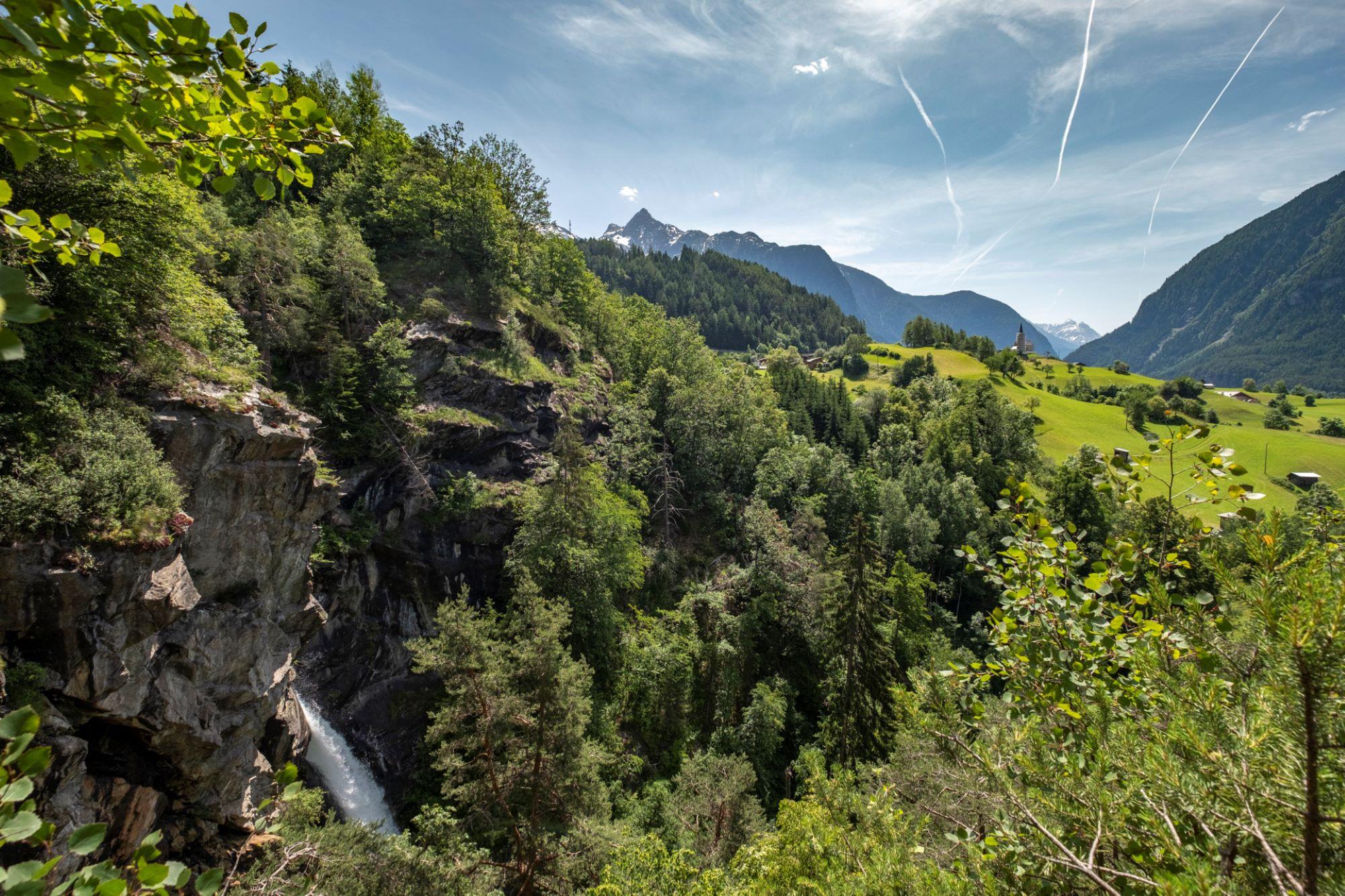
A gorge near Sautens used for canyoning. The walking path stays on the rim rather than entering it, with views down to the stream and its falls.
Acherberg Alm
An alpine pasture hut at 1,888 m above Oetz, serving regional dishes and run by new tenants since 2023.
Amberger See
A moor lake at 1,522 m in a hollow scoured by the ice-age glacier, also known as the Brandsee.
Bielefelder Hütte
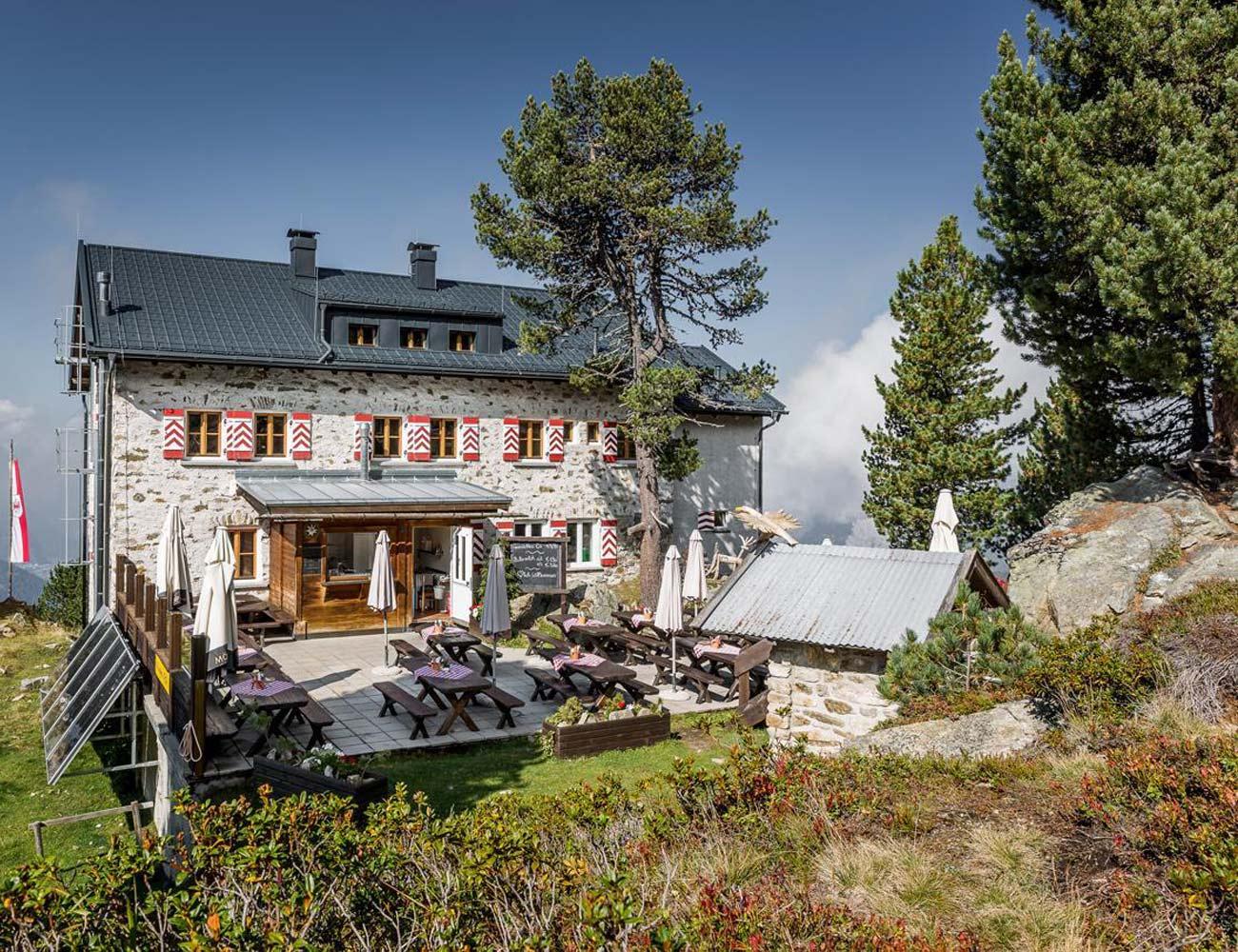
A hut on the Hochoetz slopes above Oetz serving Tirolean dishes, with a large sun terrace facing the surrounding Alps.
Habicher See & Eiskeller
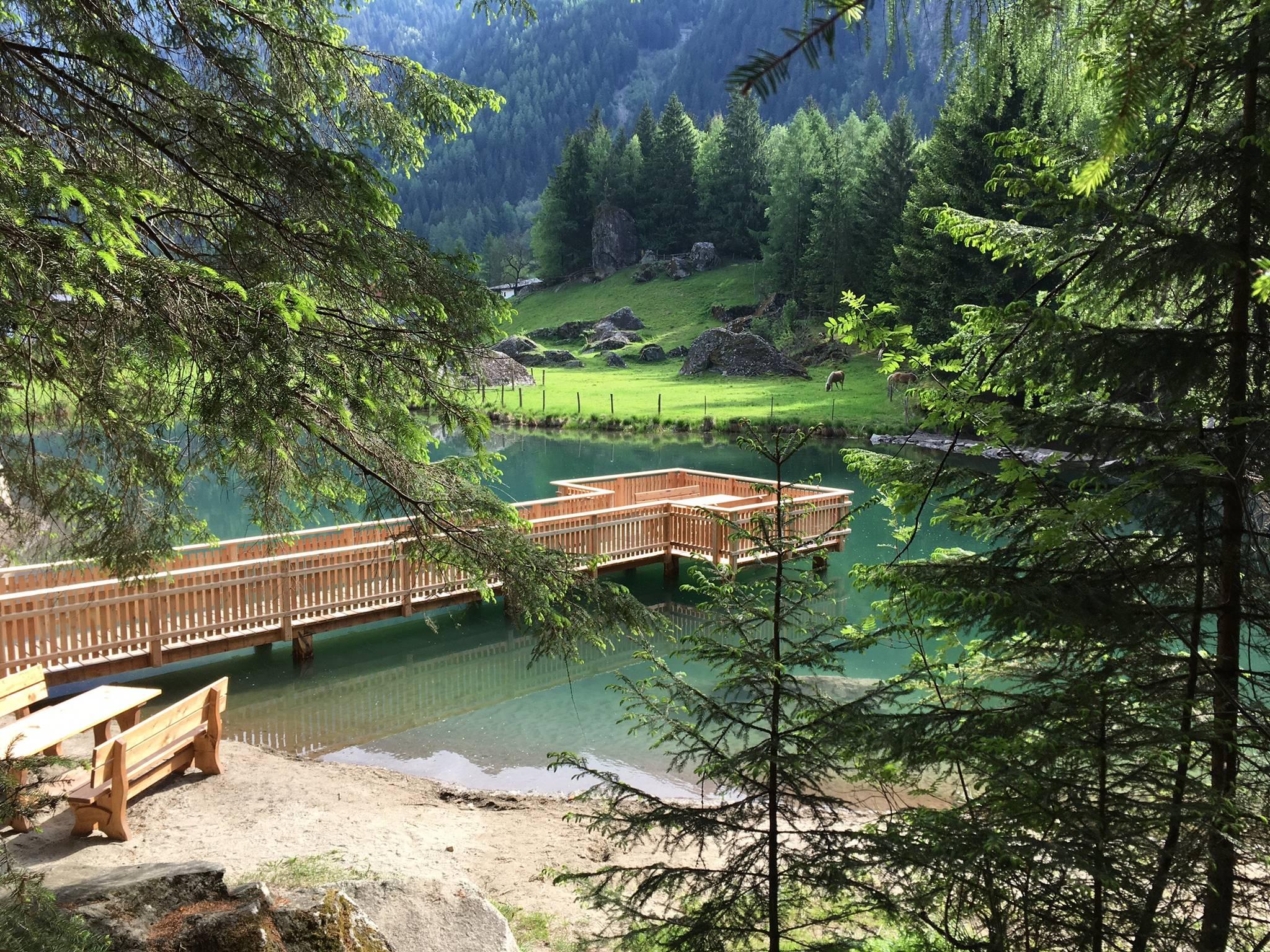
A small lake at the forest edge below Habichen, with a twelve-metre jetty out onto the water.
Kühtaile Alm
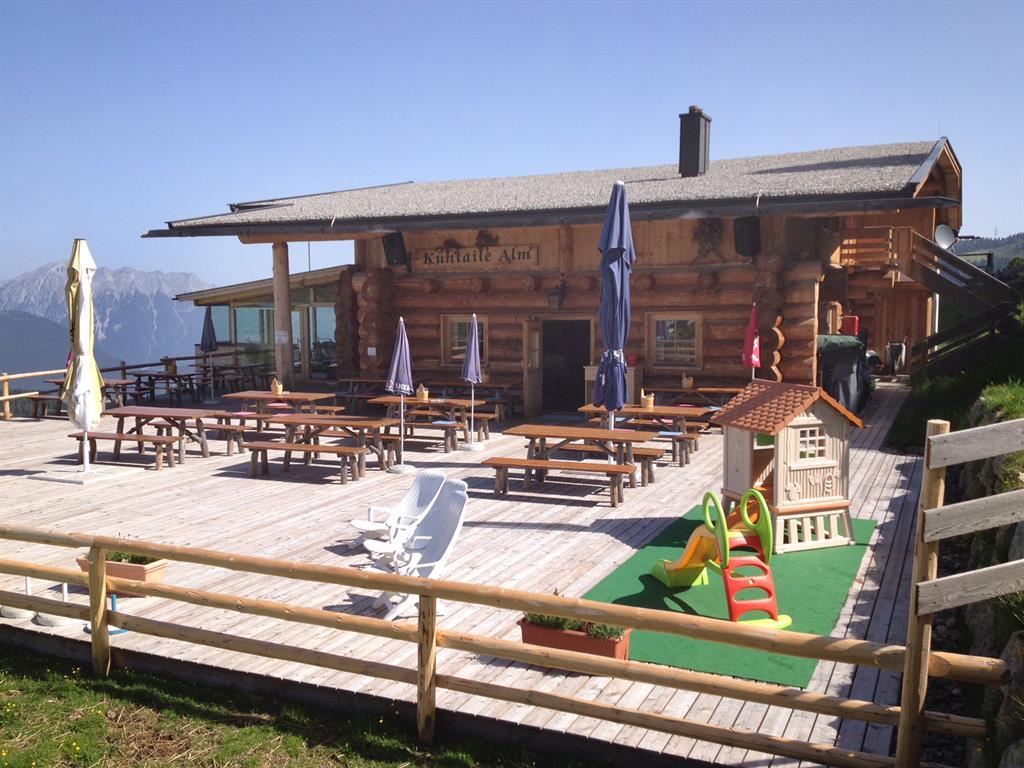
A hut reached from the top station of the Acherkogelbahn or the Ochsengartenbahn, with a sun terrace and Tirolean dishes.
Panoramarestaurant Hochoetz
A restaurant at 2,020 m beside the Acherkogelbahn top station and the WIDIVERSUM, with a terrace facing the Ötztal Alps.
Ebele - Aussichtsplattform
A platform on the slope facing the Piburger See, a few minutes above the chapel on the Kalvarienberg.
Hexenplatte - Aussichtsplattform
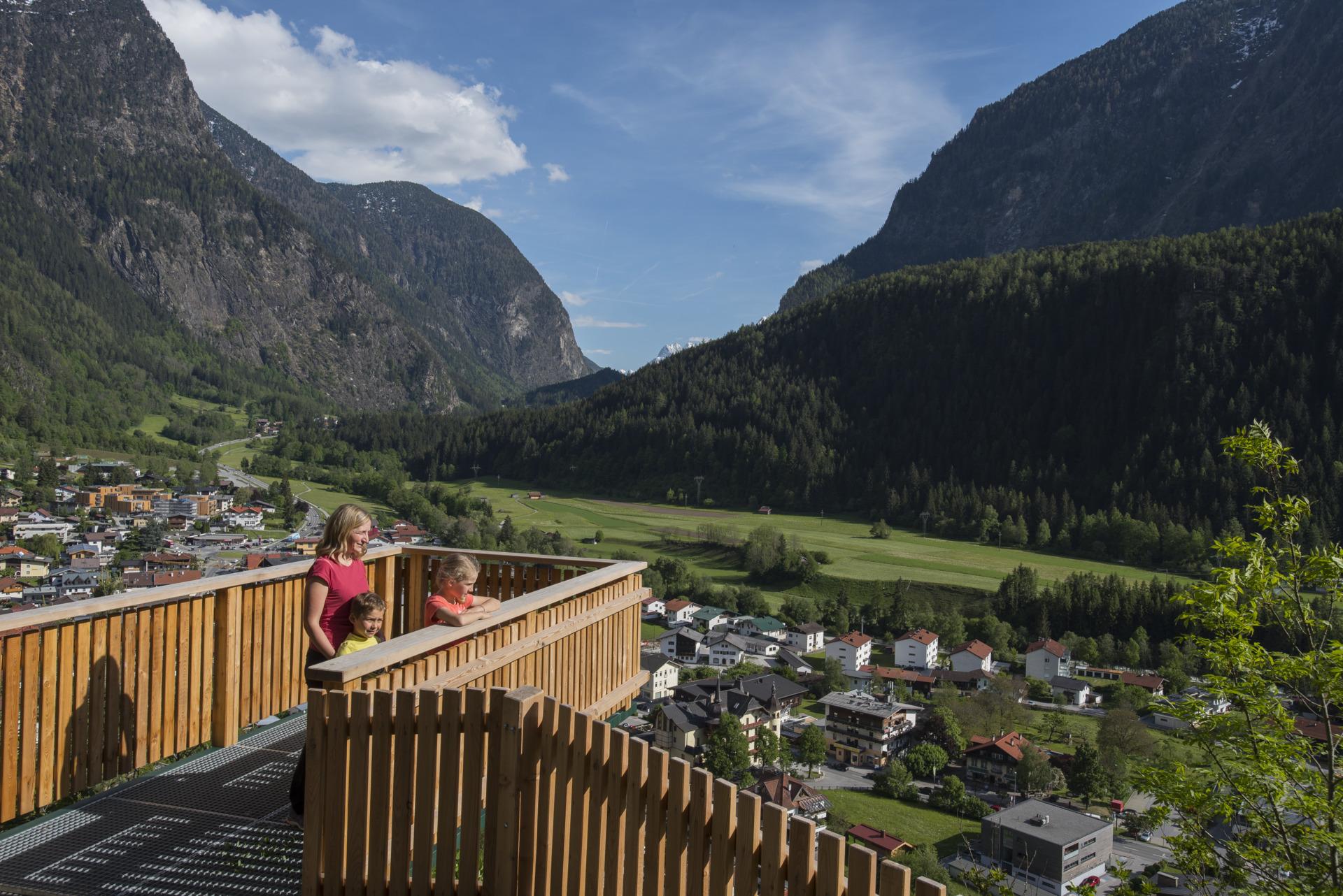
A viewpoint above Oetz named for marks in the rock said to be a witch's footprints, looking over the village and the opposite slope.
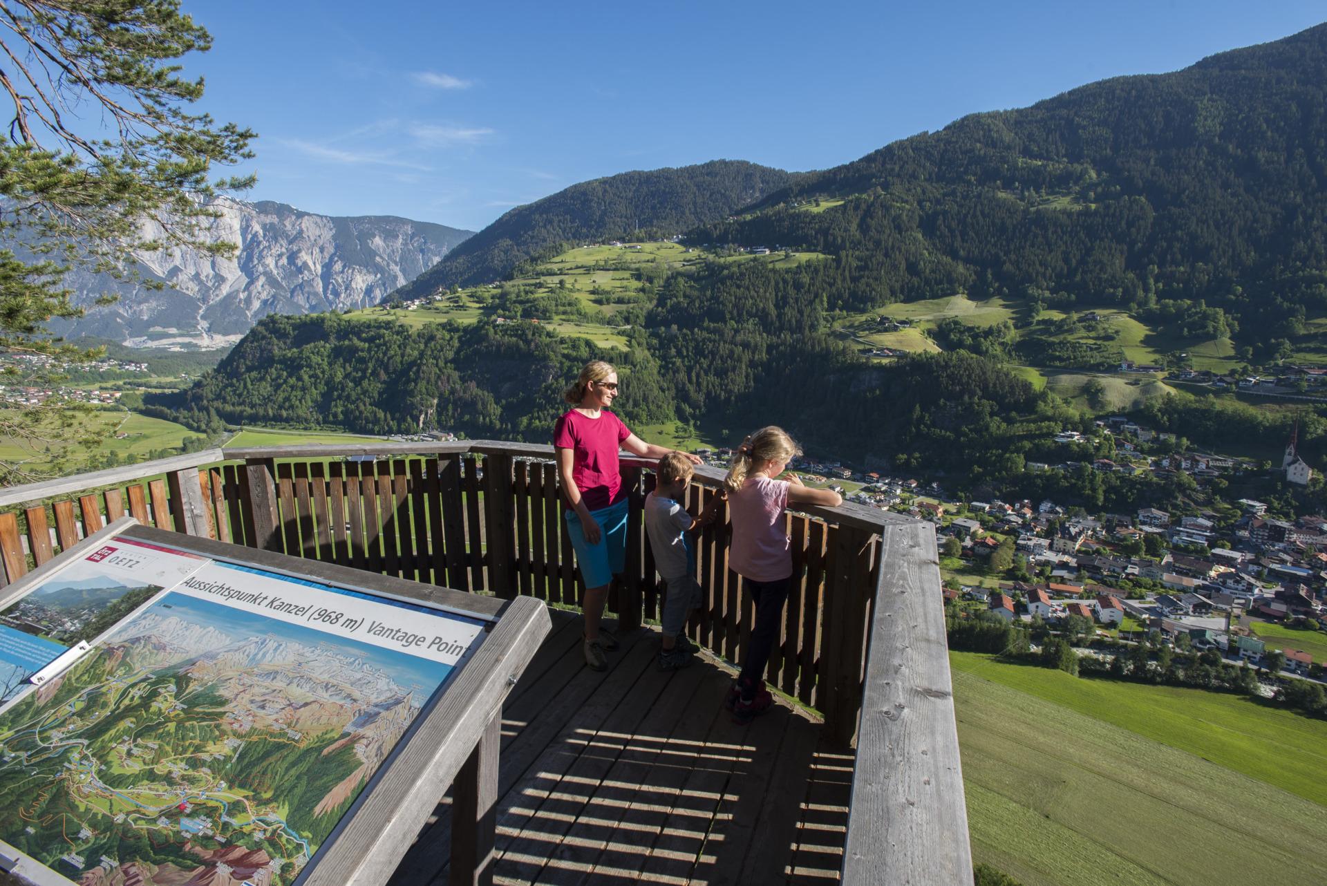
Kanzel - Aussichtsplattform
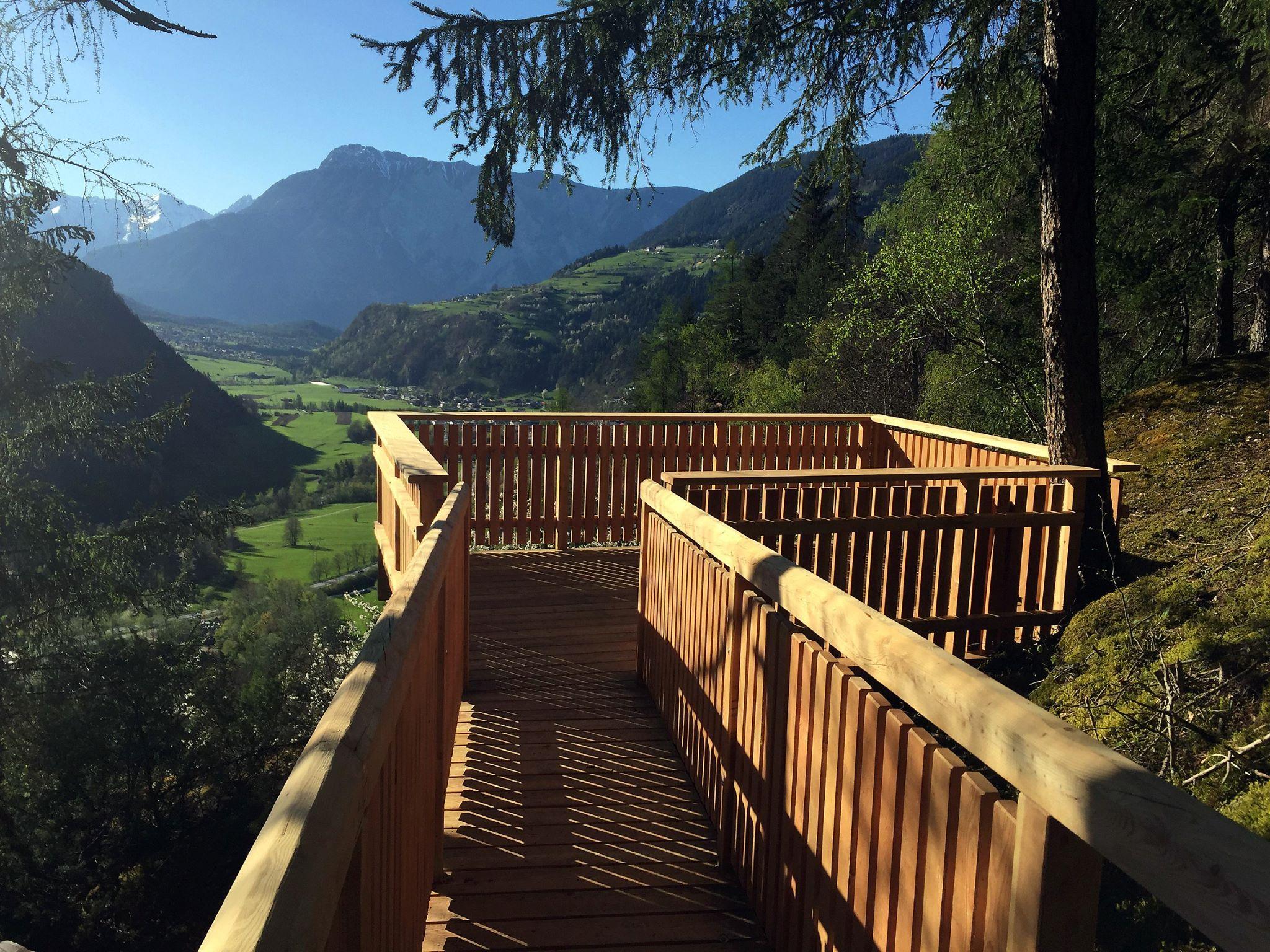
A rock spur projecting from the forest above Oetz, giving a direct view down onto the village.
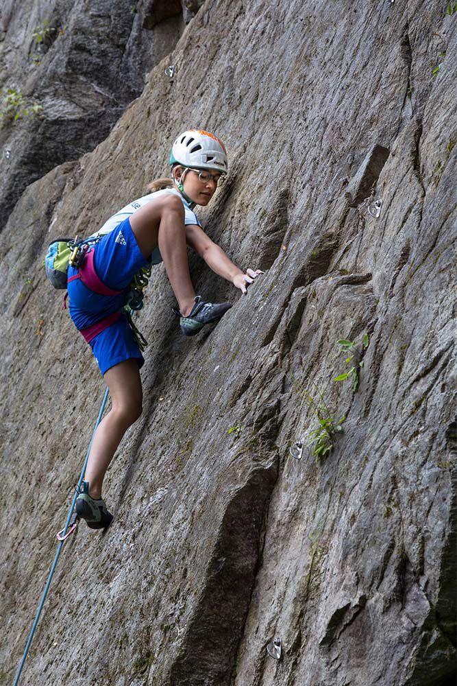
Klettergarten Piburg
A crag at 974 m minutes from the Piburg car park, nine routes up to 15 m suited to beginners.
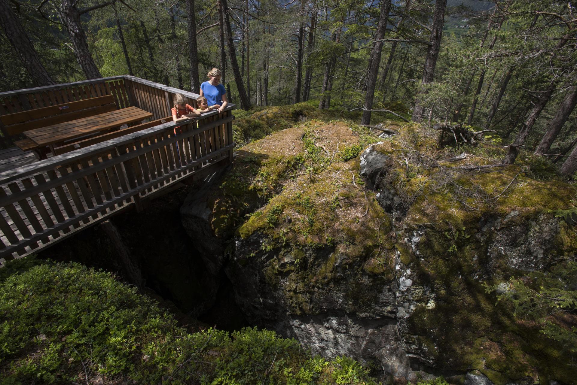
Kluft
A jagged fissure in the rock above Oetz, opened when the Ötztal glacier melted and the cliff walls lost the ice pressing against them.
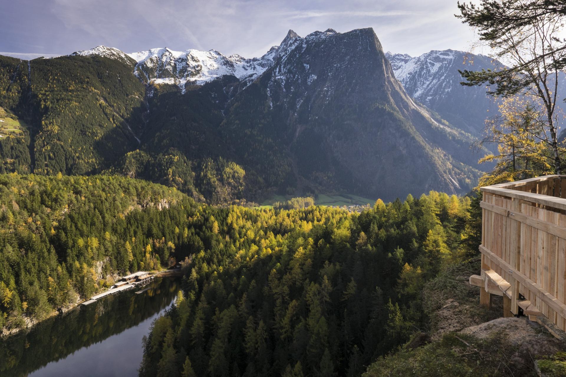
Seejöchl - Aussichtsplattform
A platform above the Piburger See reached by a steep climb, quieter than the lakeshore paths and looking straight down onto the water.
Wellerbrücke
A viewing platform beside the Ötztaler Ache on an easy riverside track. The rapids here are a well-known whitewater kayaking site.
Acherkogelbahn
An eight-seat gondola from 820 m to 2,020 m at Oetz, the main access to the Hochoetz walking area and the Ninja Park.
Ochsengartenbahn
An eight-seat gondola serving Hochoetz, running on Wednesdays, Fridays and Sundays in summer.
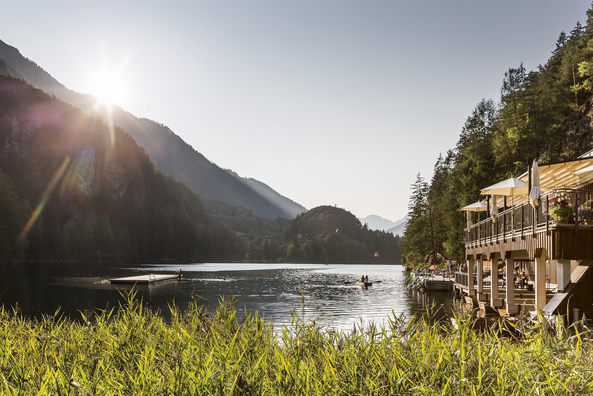
Badeanlage Piburger See
The bathing area on the Piburger See, 30 minutes' walk from the Piburg car park, with water between 20 and 24 °C and rowing boats for hire.
Galerie Rieder
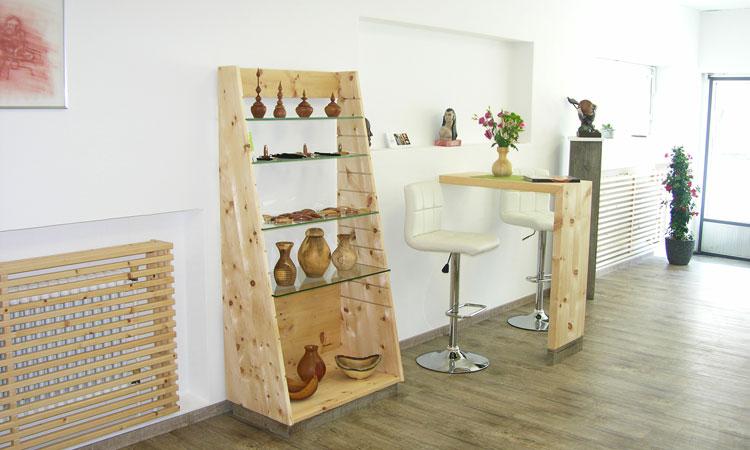
A workshop and shop in Oetz selling handmade clay, stone and turned-wood pieces.
Natur-Eisfläche Piburger See
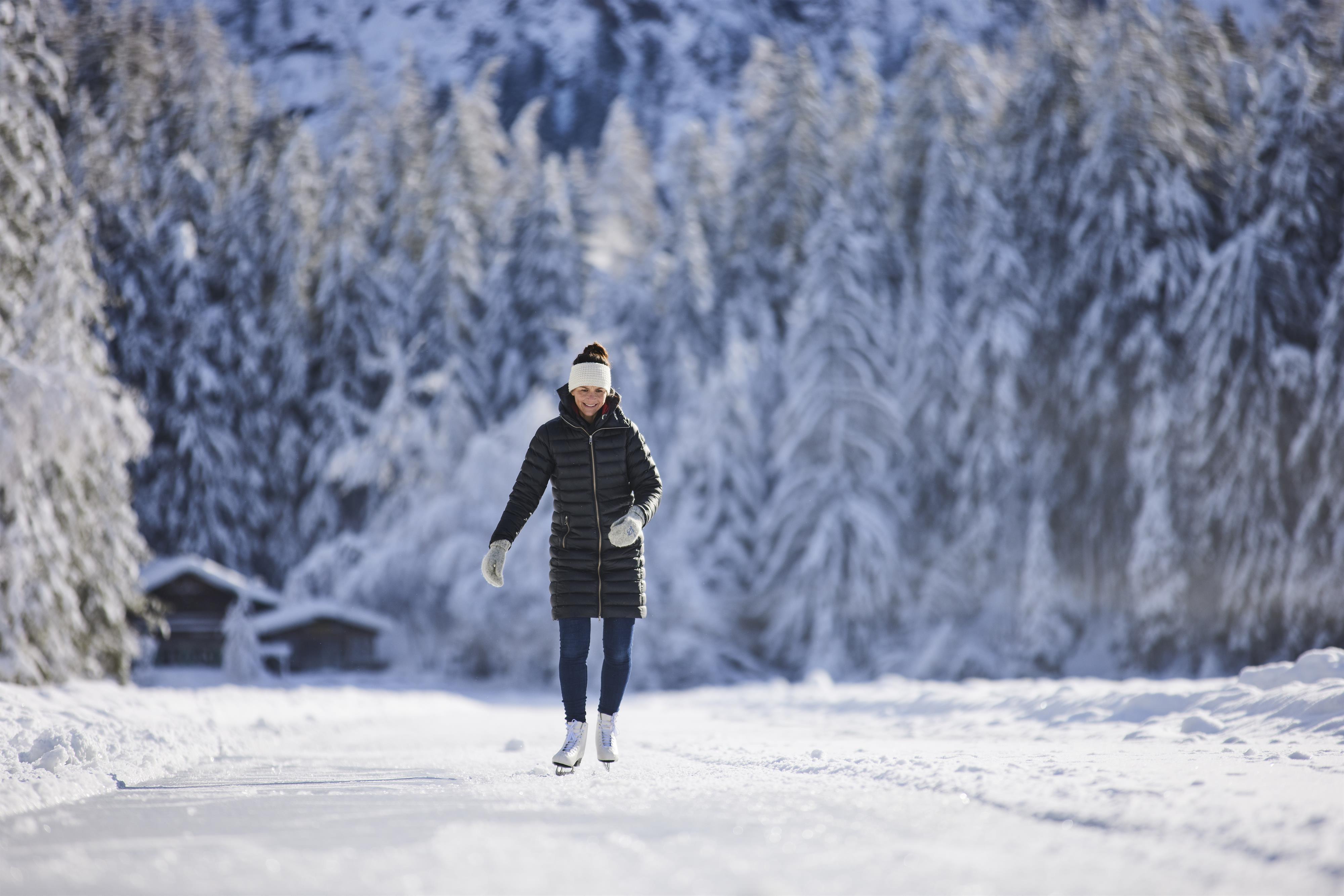
A free natural ice rink about 1.5 km long on the frozen Piburger See, with changing rooms on site and skate hire nearby.
Nothing of this kind in Oetz.
Routes
50 routes, an even mix of activities · see the rest on oetztal.com ↗
Klettersteig Rosskopf | Hochoetz
Alpine via ferrata along the north side of the Rosskopf at 2,399 m: a 45-minute approach from the Acherkogelbahn top station via the Schaferkreuz, then a long, exposed but technically moderate line with wide Ötztal views.
- 3.6 km
- Distance
- 388 m
- Ascent
- 2 h 57 min
- Duration
- 37
- Check-ins
Klettersteig Piburg
Very short practice via ferrata at Piburg near Oetz, open April to November and only between 8 am and 8 pm — a quick fixed-cable taster rather than a full mountain route.
- 192 m
- Distance
- 20 m
- Ascent
- 8 min
- Duration
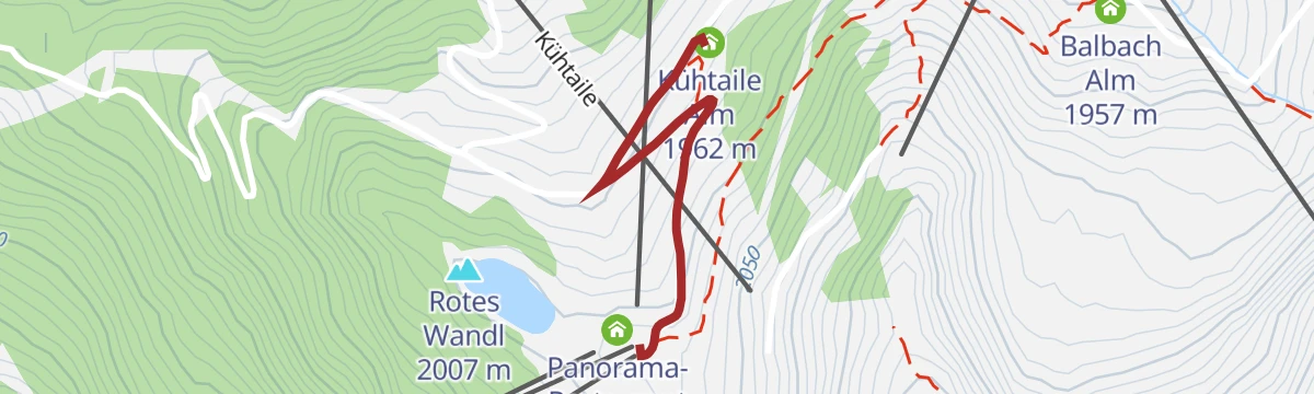
Tour 3 - Die Ausdauernde
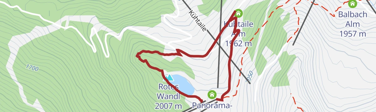
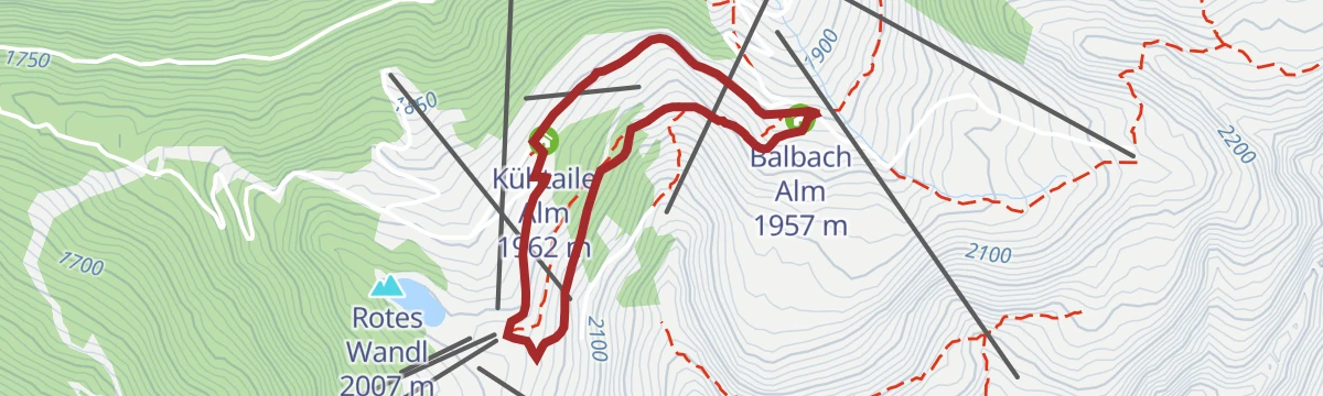
Endurance-flavoured loop in the Hochoetz alm region past the Speicherteich reservoir, the Kühtaile and Balbach alms and the Rotes Wandl viewpoint, all reached from the Acherkogelbahn top station.
- 4.6 km
- Distance
- 271 m
- Ascent
- 1 h 53 min
- Duration
- 60
- Check-ins
Knappenweg - Naturpark Jubiläumstour - mit Audioguide
Audio-guided mining-history circuit from the Hochoetz panorama restaurant via the Bielefelder Hütte to the Wetterkreuz, descending the Wörgetal past the Pochersee and the old Knappenhaus miners' house to the Iss bridge.
- 7.6 km
- Distance
- 562 m
- Ascent
- 4 h 12 min
- Duration
- 54
- Check-ins
Knappenweg
Full mining-trail loop above Hochoetz taking in the Rossköpfe, the Wetterkreuzkogel and the Rotes Wandl, linking the Bielefelder Hütte with the Kühtaile and Balbach alms high above the Ötztal.
- 11.8 km
- Distance
- 807 m
- Ascent
- 5 h 25 min
- Duration
- 86
- Check-ins
Skipistentour Ochsengarten - Hochoetz (04)
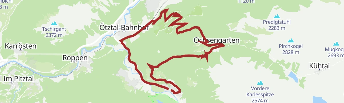
Uphill ski route from the Ochsengarten valley station to the Hochoetz panorama restaurant, mostly on groomed forest roads and quiet woodland paths beside the pistes — sociable enough to climb two abreast.
- 5.0 km
- Distance
- 499 m
- Ascent
- 0 m
- Descent
- 1 h 45 min
- Duration
- 29
- Check-ins
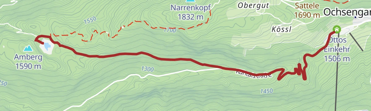
6050 Amberger See | Brandsee
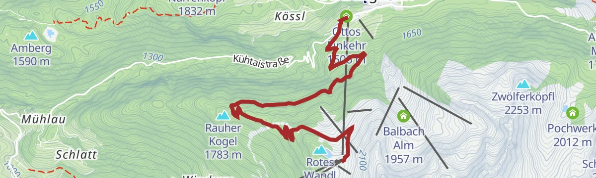
A short, easy ride at Ochsengarten reaching two small mountain lakes, with the ice-climbing crags of the Atlantis Eisfall below.
- 5.0 km
- Distance
- 215 m
- Ascent
- 38 min
- Duration
- 4
- Check-ins
 Brandsee 1 521 m
 Ottos Einkehr 1 506 m
6001 Oetz - Seejöchl Piburg
A forest-road climb out of Oetz in the Ötztal to the Seehäusl above Piburg, continuing to the Seejöchl viewpoint at 1,041 m.
- 13.6 km
- Distance
- 444 m
- Ascent
- 1 h 37 min
- Duration
- 3
- Check-ins
Tour zum Rettenbachferner
A very long climb from the Ötztal up towards the Rettenbachferner above Sölden, topping out at the Restaurant Rettenbach at 2,666 m.
- 62.5 km
- Distance
- 2 326 m
- Ascent
- 7 h 5 min
- Duration
- 129
- Check-ins
Ötztal Radweg Etappe 1: Haiming - Oetz
The opening stage of the valley cycle route, starting from the railway station in the Inn valley and climbing gently into the mouth of the Ötz valley.
- 14.5 km
- Distance
- 176 m
- Ascent
- 1 h 25 min
- Duration
- 3
- Check-ins
Von Innsbruck nach Kühtai
A long road ride out of the Inn valley, climbing to the saddle at 2,017 m with the Dortmunder Hütte just below it.
- 106.6 km
- Distance
- 1 930 m
- Ascent
- 11 h 16 min
- Duration
- 86
- Check-ins
Schatzsuche Hochoetz
Short family geocache round at Hochoetz: from the gondola past the WIDIVERSUM to the Rotes Wandl viewpoint, down to the Kühtaile Alm with its animals, and back with a small reward waiting at the restaurant.
- 1.9 km
- Distance
- 54 m
- Ascent
- 35 min
- Duration
- 41
- Check-ins
Höhenweg Hochoetz - Kühtai
Panoramic link from Hochoetz to Kühtai: forest road past the Kühtaile and Balbach alms, then a gently rolling high path via the unstaffed upper Issalm and along the Längental reservoir to the Dortmunder Hütte and the bus home.
- 8.9 km
- Distance
- 282 m
- Ascent
- 2 h 51 min
- Duration
- 51
- Check-ins
Knappenweg Überschreitung
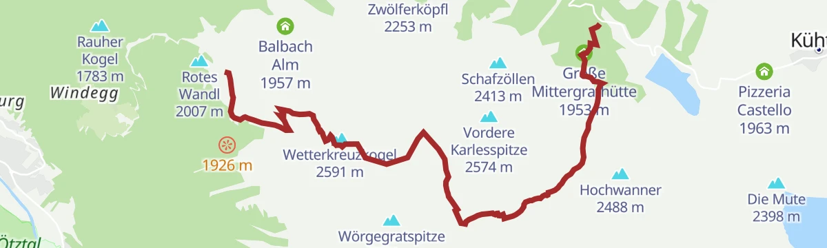
Ridge crossing from the Acherkogelbahn via the Bielefelder Hütte and a stiff pull onto the Roßköpfe, continuing on a narrow path to the Wetterkreuzkogel and descending the Wörgetal to the Mittergrathütte bus stop.
- 10.6 km
- Distance
- 847 m
- Ascent
- 5 h 51 min
- Duration
- 57
- Check-ins
690 Oetzer Seenrunde
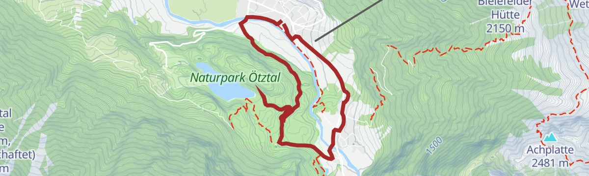
An easy short loop on the slopes above Oetz, taking in the small lakes there and passing the Seehäusl and the Armelenhof.
- 6.7 km
- Distance
- 149 m
- Ascent
- 44 min
- Duration
- 3
- Check-ins
626 Familienrunde Oetz - Sautens
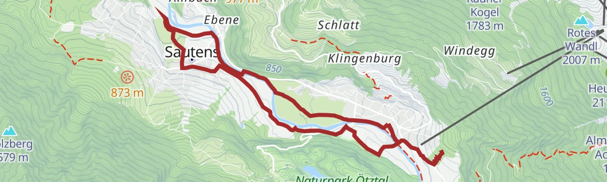
An easy track circuit between Oetz and Sautens along the floor of the Ötztal, starting by the Acherkogelbahn valley station.
- 8.8 km
- Distance
- 131 m
- Ascent
- 53 min
- Duration
E BIKE - HIKE - CLIMB Rosskopf Runde 1600 hm!
A hard climb from Oetz to the Neue Bielefelder Hütte, from where the Rossköpfe are reached on foot above the Hochoetz huts.
- 26.1 km
- Distance
- 1 636 m
- Ascent
- 4 h 10 min
- Duration
- 59
- Check-ins
Ötztal Radweg Etappe 2: Oetz - Umhausen
A short stage of the valley cycle route, leaving the lower Ötztal and climbing past the Armelenhof into the next step of the valley.
- 7.8 km
- Distance
- 193 m
- Ascent
- 48 min
- Duration
Rennradtour - Oetz - Kühtai - Sattele Runde
A road circuit over two passes, the Kühtaisattel at 2,017 m and the lower Sattele, returning to the floor of the Ötztal.
- 45.2 km
- Distance
- 1 484 m
- Ascent
- 5 h 24 min
- Duration
- 72
- Check-ins
Balbach Alm Hochoetz
Broad, nearly level track from the Hochoetz top station past the Kühtaile Alm to the Balbach Alm, suitable for prams and power-assisted wheelchairs, with KUNO's cable-pull to keep children busy.
- 1.8 km
- Distance
- 10 m
- Ascent
- 29 min
- Duration
- 33
- Check-ins
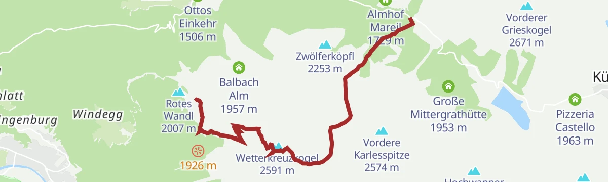
Gipfeltour Wetterkreuz von Hochoetz
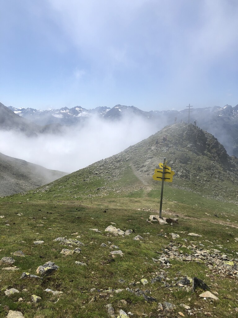
Summit hike from the Hochoetz top station via the Bielefelder Hütte and over the Rosskopf to the summit cross at 2,591 m, with return options through the Wörgetal or past the ruined old Bielefelder hut.
- 3.0 km
- Distance
- 572 m
- Ascent
- 2 h 10 min
- Duration
- 48
- Check-ins
Wilhelm-Oltrogge-Weg Hochoetz
Serious high traverse from Hochoetz past the Bielefelder Hütte and its ruined predecessor onto an exposed, demanding path below the Hochreichkopf, ending at the Schweinfurter Hütte.
- 13.1 km
- Distance
- 1 574 m
- Ascent
- 9 h 21 min
- Duration
- 50
- Check-ins
eBIKEPARK Oetz - Trainingsgelände
A short practice loop for e-mountain bikes on the valley floor at Oetz, laid out for skills training rather than distance.
- 1.1 km
- Distance
- 52 m
- Ascent
- 9 min
- Duration
659 Hochoetz Panoramatour
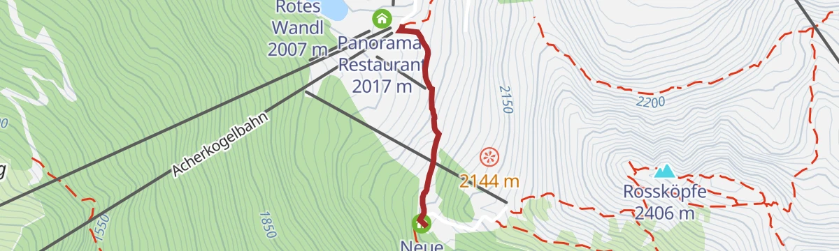
A long forest-road climb from Oetz to the huts of Hochoetz, topping out at the Neue Bielefelder Hütte at 2,150 m.
- 31.5 km
- Distance
- 1 367 m
- Ascent
- 4 h 5 min
- Duration
- 50
- Check-ins
626 Familienrunde Oetz - Sautens
An easy family loop between Oetz and Sautens on asphalt and gravel beside the Ache, 10.3 km with 196 m of climbing.
- 8.8 km
- Distance
- 134 m
- Ascent
- 53 min
- Duration
Open route ÖtztalRennradtour - Oetz - Kühtai - Finstertaler Stausee
A long road climb from the Ötztal to Kühtai, continuing past the Dortmunder Hütte to the dam wall at 2,344 m above the Finstertal.
- 43.0 km
- Distance
- 1 554 m
- Ascent
- 5 h 17 min
- Duration
- 57
- Check-ins
WIDIs Themenweg - Glück auf! Die spannende Welt der Bergmänner
Children's mining trail at Hochoetz following Bergmann Kuno from the crystal rock and stone mill to his tunnel, the Balbach Alm cable-pull and the Kühtaile Alm — about an hour of hands-on stations.
- 2.7 km
- Distance
- 112 m
- Ascent
- 54 min
- Duration
- 30
- Check-ins
Hüttentour Hochoetz
Four-hut sampler at Hochoetz: from the panorama restaurant down to the Acherberg Alm, up to the Bielefelder Hütte and its Acherkogel views, then on to the Balbach and Kühtaile alms with their play stations.
- 5.8 km
- Distance
- 309 m
- Ascent
- 2 h 14 min
- Duration
- 46
- Check-ins
Sellrainer Hüttenrunde: 5. Etappe
Fifth stage of the Sellrainer Hüttenrunde: from the Schweinfurter Hütte over the Hochreich- and Niederreichscharte — topping the Lauser en route — to the Neue Bielefelder Hütte.
- 12.3 km
- Distance
- 1 363 m
- Ascent
- 8 h 14 min
- Duration
- 35
- Check-ins
Gravelbike Tour - Ötztal Plus
A long gravel ride through the lower Ötztal, passing the Habicher See and the Waldcafe Stuböbele high on the valley side.
- 63.2 km
- Distance
- 889 m
- Ascent
- 6 h 27 min
- Duration
- 22
- Check-ins
Rennradtour - Sölden - Area 47
A road run down the length of the Ötztal from Sölden to Area 47 at the valley mouth, and back again.
- 76.4 km
- Distance
- 801 m
- Ascent
- 7 h 32 min
- Duration
- 47
- Check-ins
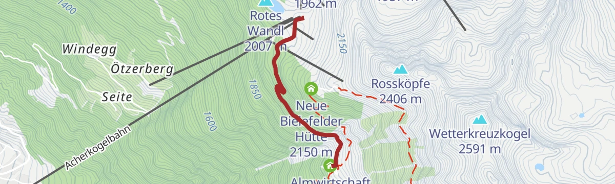
Bielefelder Hütte Hochoetz
Short pull up a broad forest road from the Hochoetz top station to the Bielefelder Hütte, rewarded with wide views and WIDI's climbing crystal for children — a base for walks on toward Rosskopf and Wetterkreuz.
- 653 m
- Distance
- 88 m
- Ascent
- 21 min
- Duration
- 28
- Check-ins
Gipfeltour Rosskopf
Short, punchy summit hike from the Hochoetz top station via the Bielefelder Hütte, with a final steep branch path to the 2,399 m top and its view over the front Ötztal.
- 2.0 km
- Distance
- 371 m
- Ascent
- 1 h 23 min
- Duration
- 37
- Check-ins
Panorama Restaurant und WIDIVERSUM Hochoetz
Direct ascent from Oetz to the panorama restaurant and WIDIVERSUM adventure land at the Acherkogelbahn top station — around 1,200 m of climbing in under 3 km, with the gondola as the easy alternative.
- 2.8 km
- Distance
- 1 213 m
- Ascent
- 4 h 6 min
- Duration
- 15
- Check-ins
Gravelrunde Piburger See
A long gravel ride down the Inn valley from Imst to the Piburger See, with the Seehäusl and Seerestaurant at the lake before the return.
- 60.8 km
- Distance
- 1 136 m
- Ascent
- 6 h 28 min
- Duration
- 15
- Check-ins
Ötztal Radweg Gesamtstrecke (11)
The full valley cycle route from the Inn at Haiming all the way up to Sölden, gaining height steadily over 60 km.
- 60.2 km
- Distance
- 906 m
- Ascent
- 5 h 57 min
- Duration
- 38
- Check-ins
Hochoetz - Talwanderung nach Ochsengarten
Easy descent route from the Hochoetz panorama restaurant past the Kühtaile Alm, then a forest road winding gently down through the woods to Ochsengarten.
- 6.1 km
- Distance
- 52 m
- Ascent
- 2 h 2 min
- Duration
- 28
- Check-ins
Hochoetz- Besinnungsweg
Quiet loop from the Hochoetz top station via the Bielefelder Hütte to its ruined predecessor, descending a fine path to the Acherbergalm at 1,893 m and rolling back to the lift.
- 6.2 km
- Distance
- 376 m
- Ascent
- 2 h 36 min
- Duration
- 31
- Check-ins
Armelenhütte
Steep hut climb from Oetz via the Wellerbrücke, a famed stretch of white water for elite kayakers; a rockfall blocks the direct path from the Kohlstatt, so the route detours toward Habichen before cutting up to the Armelen Hütte.
- 5.7 km
- Distance
- 971 m
- Ascent
- 3 h 41 min
- Duration
- 1
- Check-ins
Haimingerberg Sattele
A long climb out of the Inn valley over the Haimingerberg to the Sattele at 1,690 m, with Ottos Einkehr shortly below the pass.
- 58.6 km
- Distance
- 2 095 m
- Ascent
- 7 h 11 min
- Duration
- 13
- Check-ins
Rennradrunde Oetz - Sattele - Oetz
A road climb from the Ötztal floor to the Sattele at 1,690 m, passing Ottos Einkehr before the descent back to Oetz.
- 29.5 km
- Distance
- 1 010 m
- Ascent
- 3 h 34 min
- Duration
- 10
- Check-ins
WIDIs Themenweg - Hoch hinaus! Die Runde für Gipfelstürmer
Compact children's loop at Hochoetz seen from a jackdaw's perspective: a balance course, the climbing crystal at the Bielefelder Hütte and WIDI's photo platform, all inside an hour of walking.
- 1.3 km
- Distance
- 89 m
- Ascent
- 36 min
- Duration
- 28
- Check-ins
Sellrainer Hüttenrunde: 6. Etappe
Sixth stage of the Sellrainer Hüttenrunde: from the Neue Bielefelder Hütte over the Mittertalscharte and down to the Dortmunder Hütte at Kühtai.
- 9.4 km
- Distance
- 747 m
- Ascent
- 4 h 49 min
- Duration
- 31
- Check-ins
Gravelbike Tour Ötztal Lite mit Stuibenfallblick
A long gravel ride up the Ötztal from the valley mouth to around 1,150 m, with the Stuibenfall waterfall in view along the way.
- 45.6 km
- Distance
- 766 m
- Ascent
- 4 h 46 min
- Duration
- 10
- Check-ins
- Waldcafe Stuböbele 1 150 m
- Appartement Fritz 1 058 m
- Ötztal Tourismus 1 030 m
- INFO 797 m
- River Haus 694 m
- Badeteich Haderlehn 1 012 m
Rennradtour - Oetz - Haimingerberg Runde
A road loop over the Haimingerberg, climbing to the Sattele pass at 1,690 m before dropping back into the Ötztal.
- 29.4 km
- Distance
- 1 010 m
- Ascent
- 3 h 34 min
- Duration
- 10
- Check-ins
Kühtaile Alm Hochoetz
Barrier-friendly stroll from the Hochoetz top station past the Kristallwasser water playground to the Kühtaile Alm, whose petting zoo and trampoline make it a favourite with small children.
- 964 m
- Distance
- 10 m
- Ascent
- 18 min
- Duration
- 27
- Check-ins
Hochoetz - Talwanderung über Stufenreich nach Oetz
Descent route from Hochoetz past the old Kühtaile Alm and down through forest to Stufenreich and Klingenburg, reaching Oetz via the Hexenplatte viewpoint, the parish church and the Kalvarienberg chapel.
- 9.8 km
- Distance
- 117 m
- Ascent
- 3 h 59 min
- Duration
- 29
- Check-ins
658 5-Orte-Runde
A track circuit linking five villages of the lower Ötztal, with a bouldering cave passed on the way round from Oetz.
- 28.2 km
- Distance
- 281 m
- Ascent
- 2 h 46 min
- Duration
- 3
- Check-ins
5 Orte Runde
A family round of 32.8 km through five villages of the lower Ötztal, almost level with 488 m of climbing.
- 28.2 km
- Distance
- 281 m
- Ascent
- 2 h 46 min
- Duration
Open route Tirol WerbungAcherberg Alm
Gentle downhill walk from the Hochoetz top station to the Acherberg Alm, where home-made cheese and butter, an animal-sound box and a treadmill for children wait at the end of a broad forest road.
- 1.7 km
- Distance
- 0 m
- Ascent
- 31 min
- Duration
- 18
- Check-ins
No routes of this kind in Oetz yet.
The region's own picks

Featured route
Tour 3 - Die Ausdauernde
Endurance-flavoured loop in the Hochoetz alm region past the Speicherteich reservoir, the Kühtaile and Balbach alms and the Rotes Wandl viewpoint, all reached from the Acherkogelbahn top station.
Planning a trip to Oetz?
Everything else Tyrol has, in one place


Take Oetz with you into the mountains
Every route on this page with 3D terrain, GPX navigation and offline maps — including the valleys with no signal.
Data sources
- Official website: oetztal.com ↗
- Routes and highlights: Ötztal Tourismus, Tirol Werbung, Imst Tourismus, Innsbruck Tourismus, Ötztal
- Published as open data by the tourist boards named above.
- Region summary generated from the board's own material.
