
 Mountain hut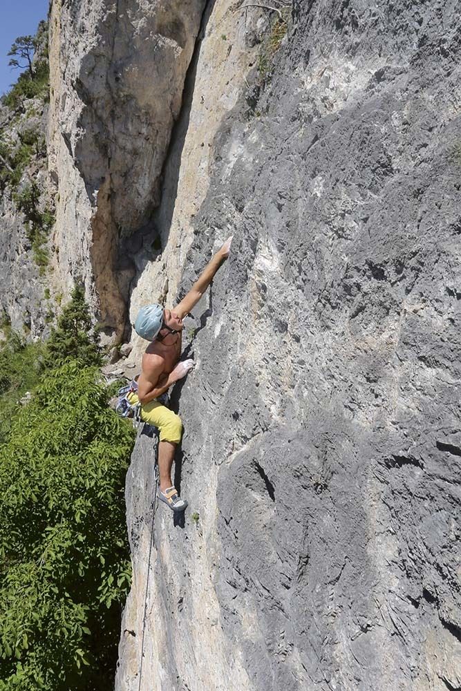

 Historic site













Curated by Innsbruck Tourismus
Obsteig
Highest of the Mieminger Plateau villages, climbing toward the Holzleitensattel among old larch meadows, with the Lehnberghaus above for walkers.
- 15Highlights
- 50Routes
- Featured summit · Wankspitze
Highlights
All 15 from neighbouring places
Fasnachtshaus Nassereith
4.6 km away, in Nassereith
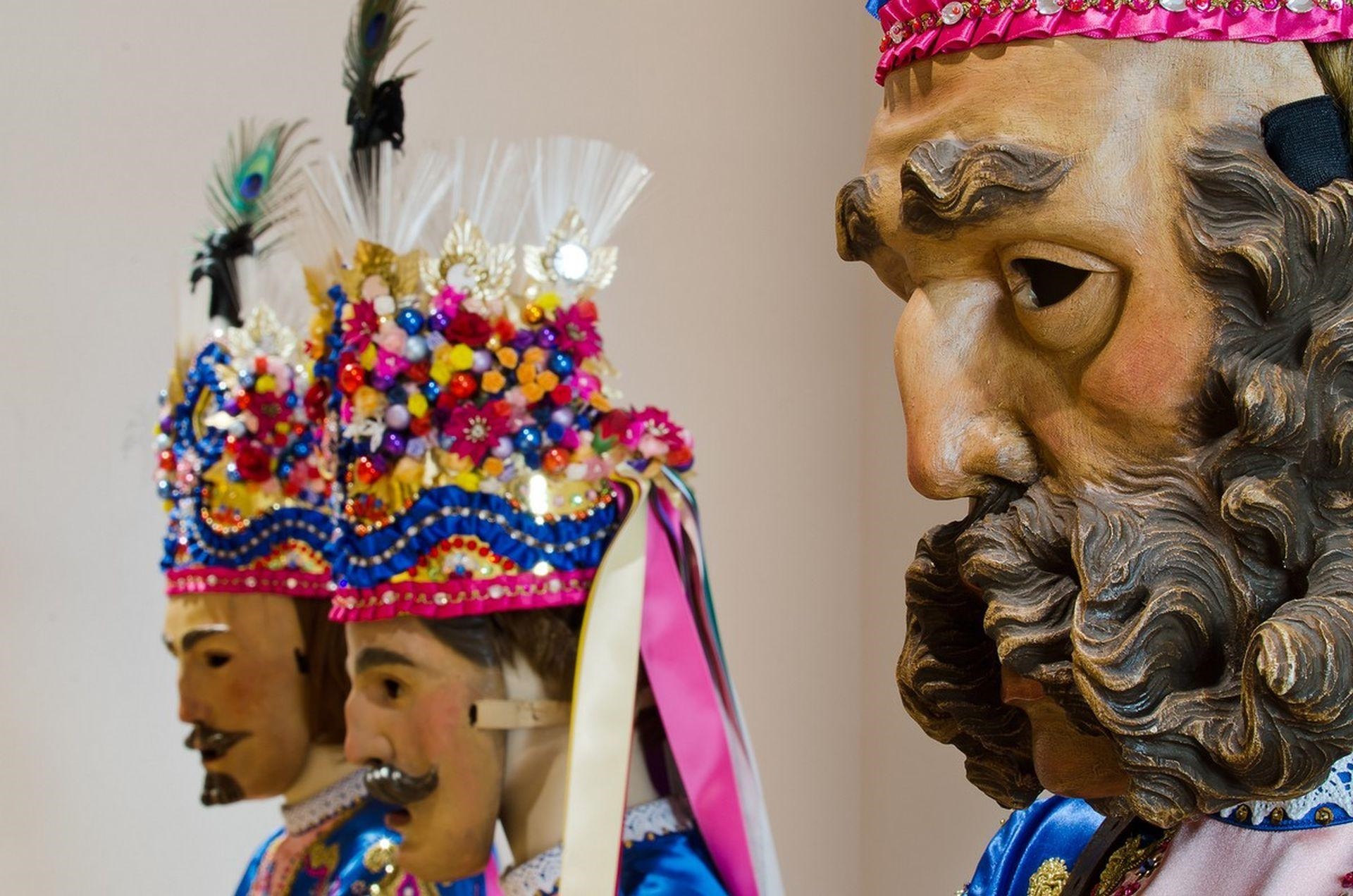
A museum in Nassereith devoted to the village's Fasnacht carnival, displaying the carved masks and costumes of the Schellerlaufen.
KG Simmering
4.8 km away, in Haiming
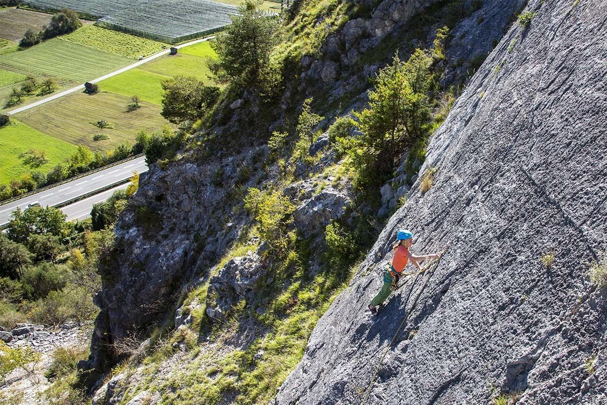
A crag on the Simmering at 719 m with several sectors of well-protected single- and multi-pitch routes, most at the easier grades.
Muthenaualm - Nassereither Alm
5.4 km away, in Nassereith
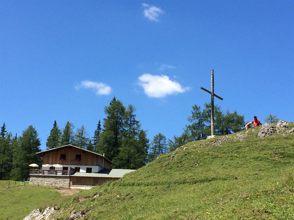
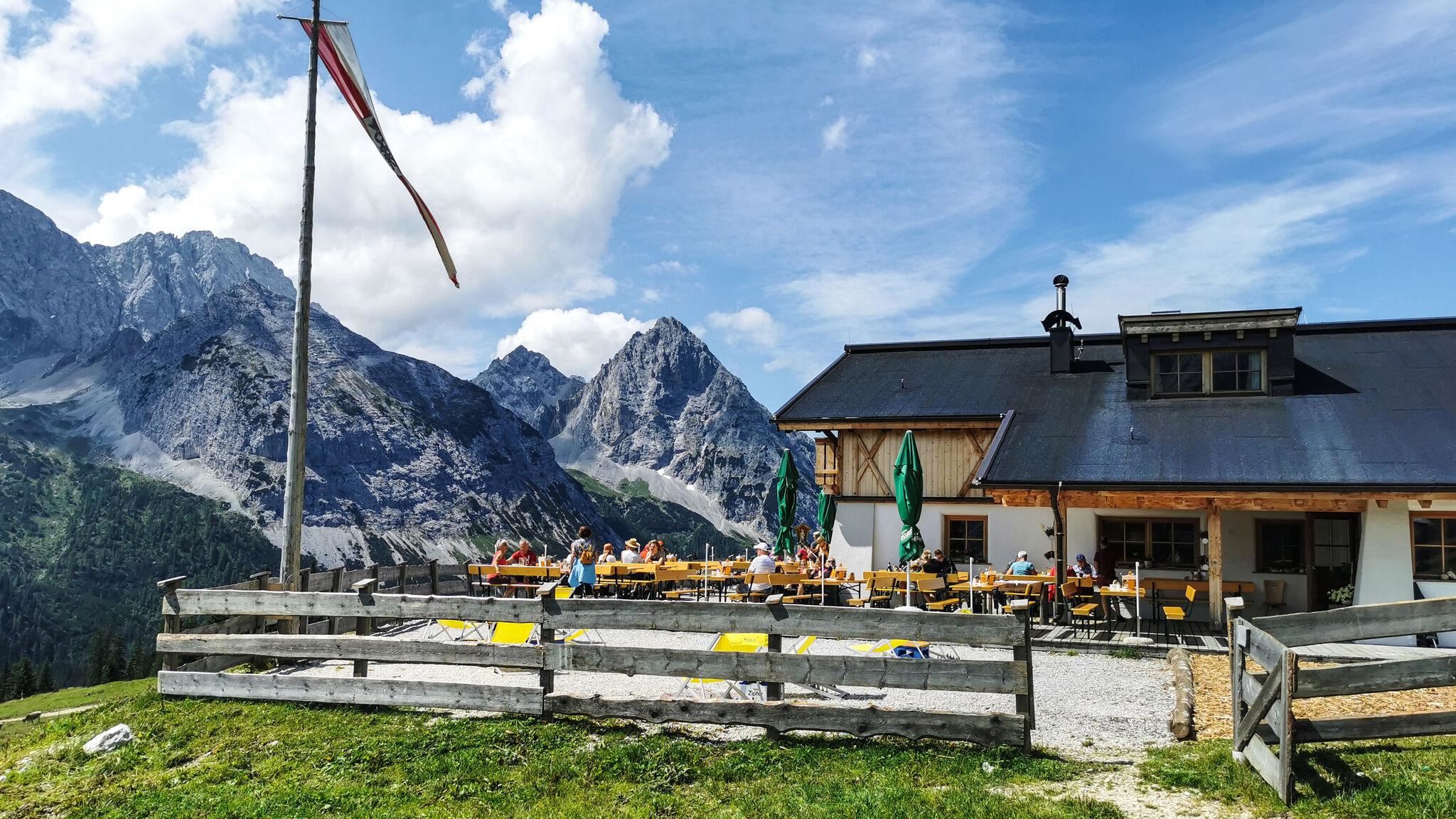
An alpine pasture above Nassereith (838 m) in the Imst region, run as a summer hut and also known as the Nassereither Alm.
Geierwand
5.6 km away, in Haiming
A sunny wall at 750 m above Haiming with well-protected multi-pitch routes, climbable most of the year but hot in summer.
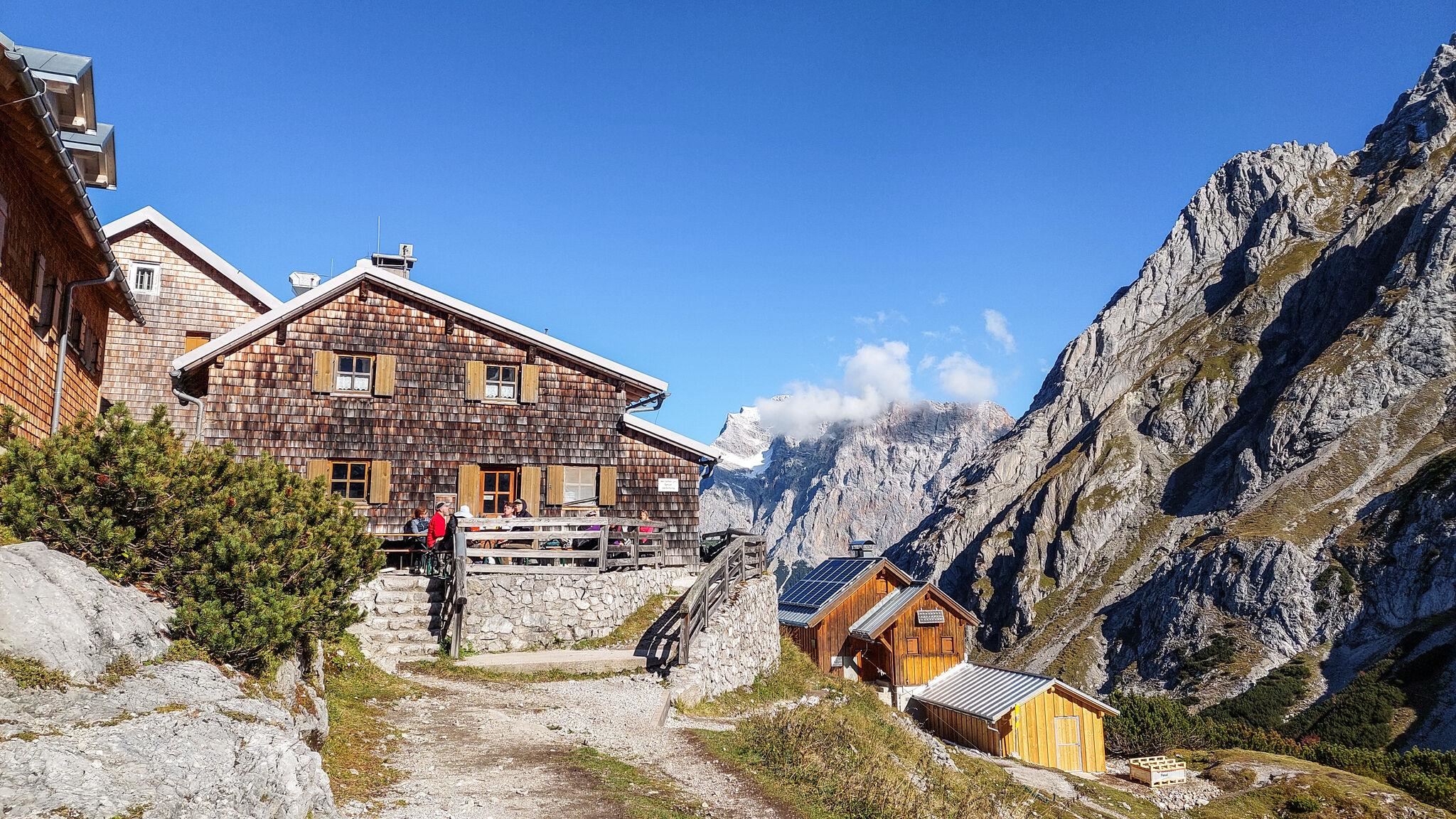
Coburger Hütte
6 km away, in Mieming
An Alpine Club hut above the Seebensee near Ehrwald, set among the lakes of the Mieming range and a base for the Sonnenspitze.
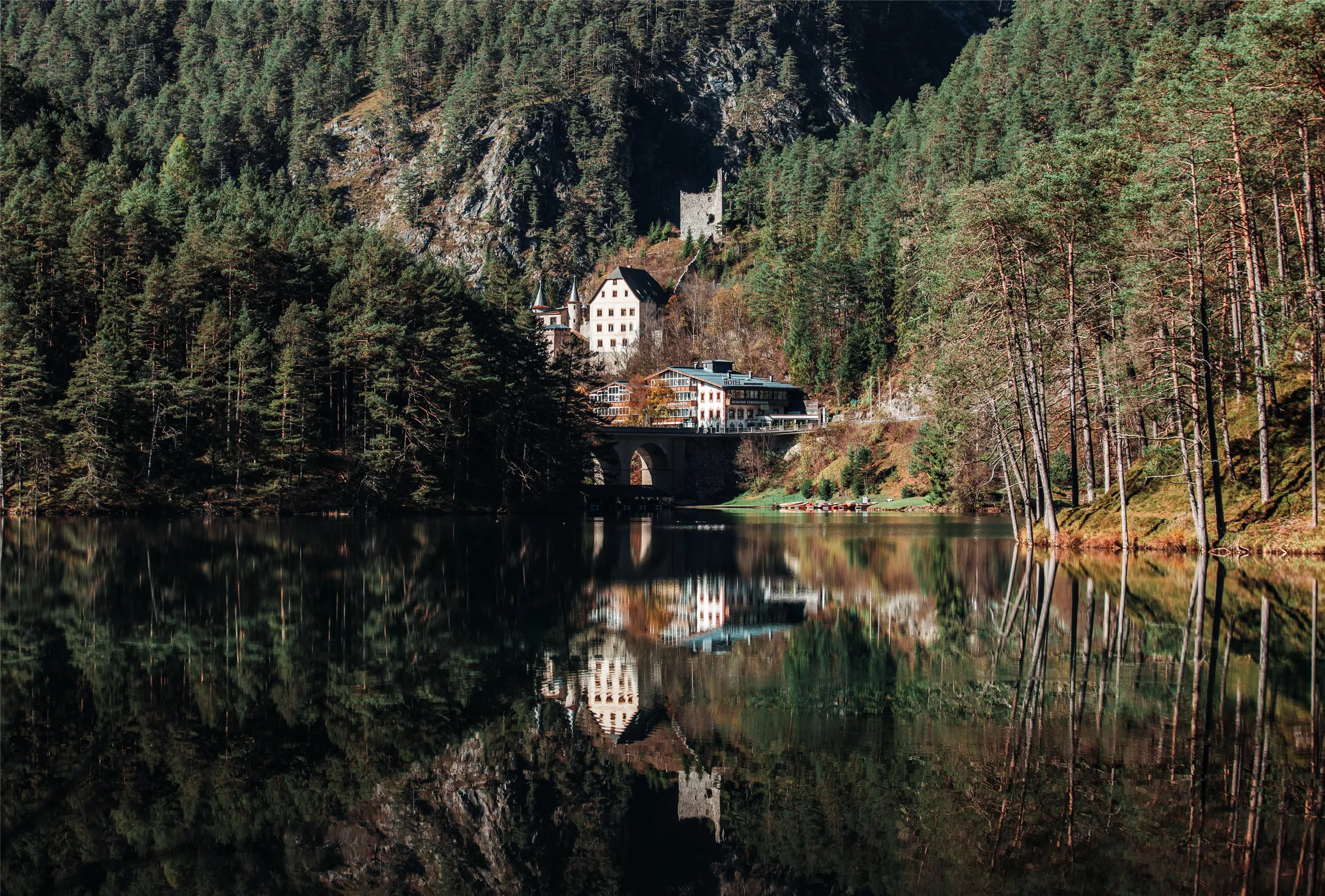
Schloss Fernsteinsee
7.2 km away, in Nassereith
A castle estate on the Fernpass route at Nassereith, set beside the clear Fernsteinsee, whose island carries the ruin of the Sigmundsburg.
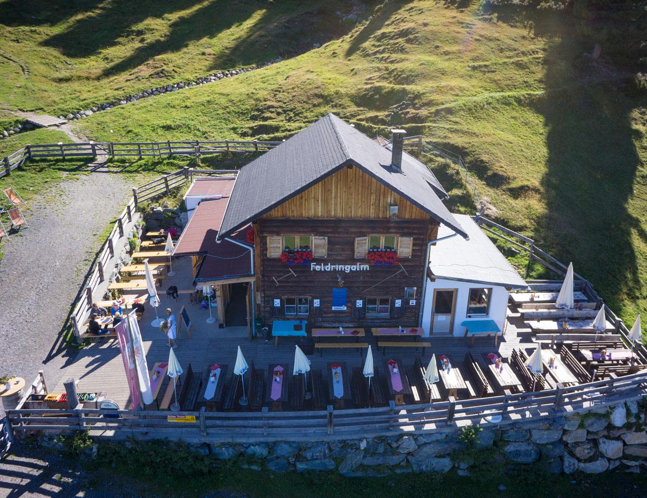
Feldringalm
8.2 km away, in Silz
A traffic-free alpine pasture reached by forest road from the Sattele car park, an easy walk suited to families.
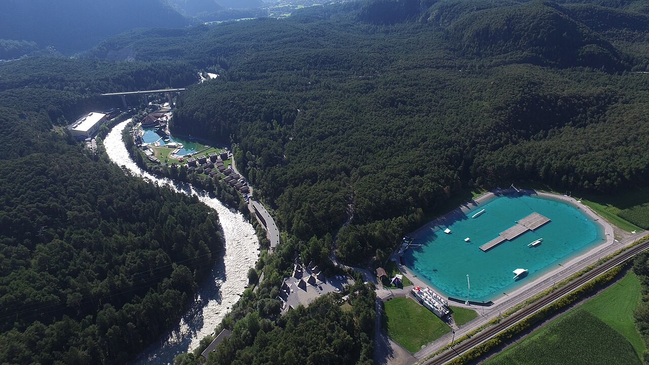
Area 47
10 km away, in Haiming
An outdoor adventure park at the mouth of the Ötztal near Ötztal-Bahnhof, combining a water play area with rafting, canyoning and climbing.
AREA47 - Indoor Bikepark
10 km away, in Haiming
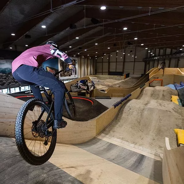
An indoor bike park at AREA47 near Ötztal-Bahnhof, with ramps and lines for riding practice in any weather and any season.
AREA47 - Water Area
10 km away, in Haiming
The water sports section of AREA47 at the mouth of the Ötztal, with slides, jumps and a bathing lake laid out for summer visitors.
Hochfeldern Alm
10.4 km away, in Mieming
An alm at about 1,700 m between the Ehrwalder Alm and the Gaistal, on the high route below the Mieming range.
Brunau
10.5 km away, in Haiming
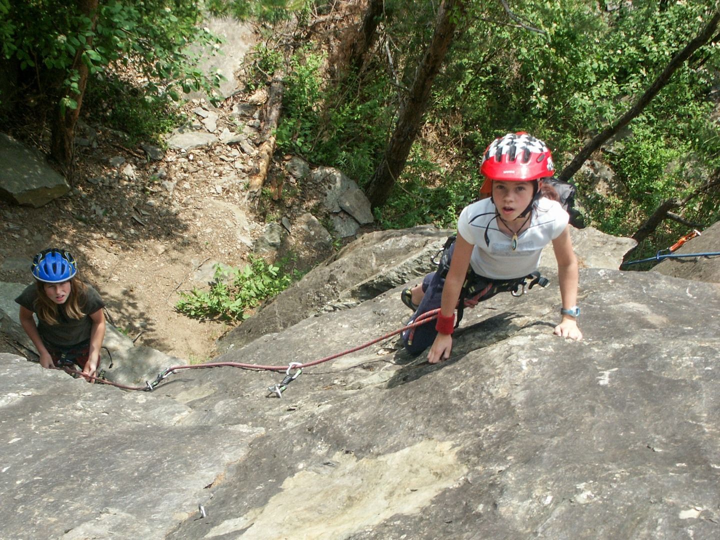
A former quarry at 736 m near Haiming, sheltered enough to climb from spring to late autumn and a good place to start on rock.
Schneedorf Hochoetz
10.6 km away, in Haiming
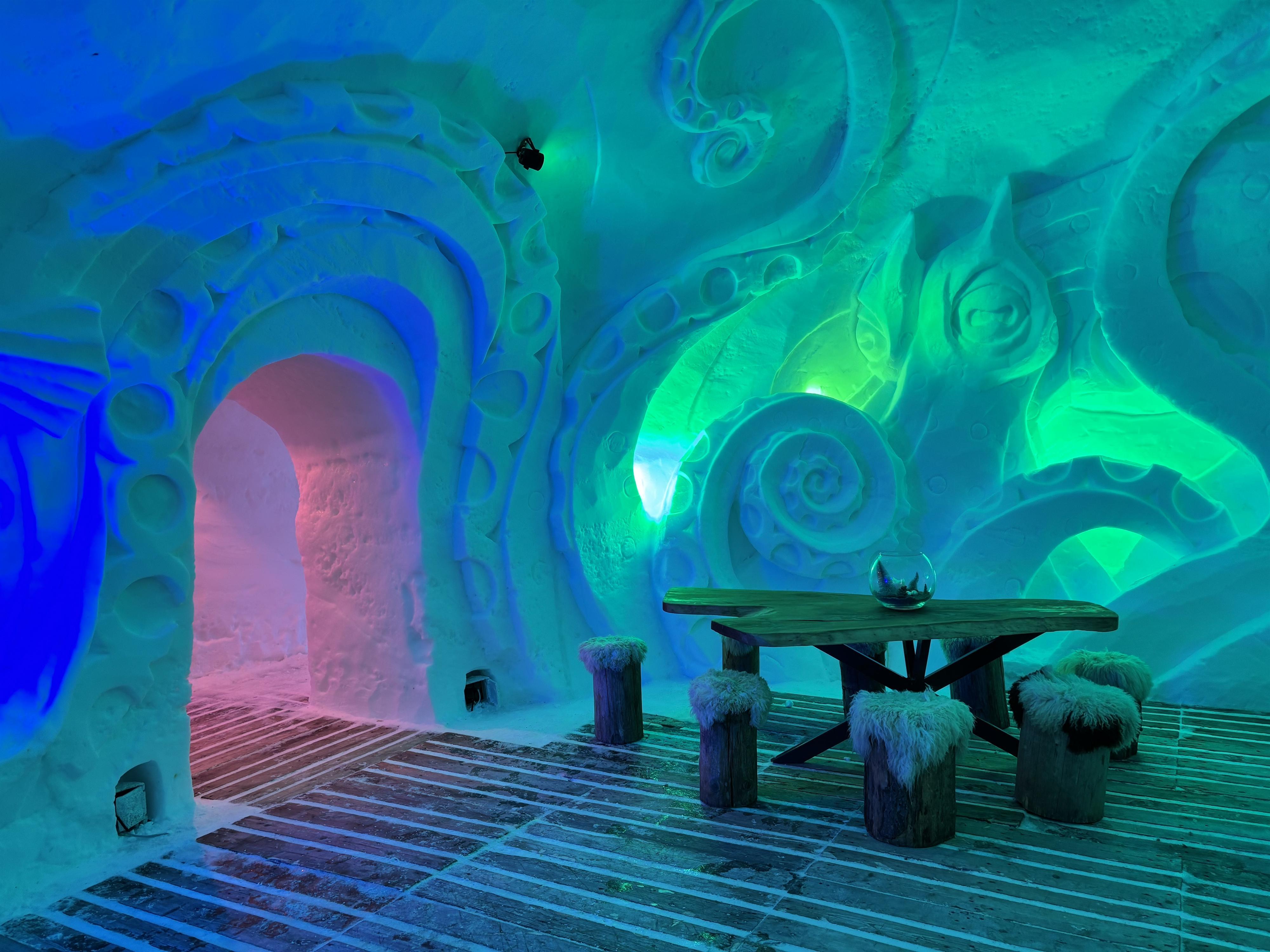
Austria's first igloo village, rebuilt each winter at about 2,000 m at Hochoetz, with rooms cut from snow and open for overnight stays.
Almhof Mareil
10.8 km away, in Haiming
An inn between Ochsengarten and Kühtai on the Kaiser-Franz-Josef, Höllwiesen and Knappen paths, with its own bus stop below.
Balbach Alm
10.8 km away, in Haiming
A hut on the Hochoetz slopes serving traditional Tirolean cooking, with overnight places available.
Nothing of this kind in Obsteig.
Routes
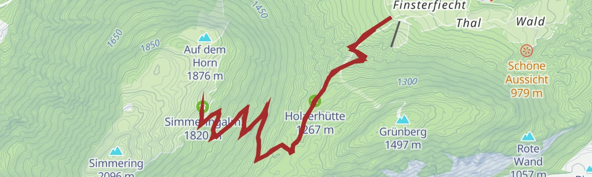
Aussichtsplattform am Simmering - Horn
Short spur from the Simmeringalm to a viewing platform on the Horn — minimal effort for a wide panorama over the Inn valley.
- 1.7 km
- Distance
- 57 m
- Ascent
- 32 min
- Duration
- 6
- Check-ins
Marienbergalm
From Arzkasten a 10.8 km route climbs some 500 m through forest to the Marienbergalm and its pasture meadows above Obsteig.
- 10.8 km
- Distance
- 497 m
- Ascent
- 3 h 45 min
- Duration
- 11
- Check-ins
Zwei Tages-Tour: Lehnberghaus - Coburger Hütte - Marienbergalm
Two-day crossing of the Mieminger range from the Lehnberghaus over the Biberwierer Scharte to the Coburger Hütte by the Drachensee, finishing via the Marienbergjoch and Marienbergalm.
- 18.8 km
- Distance
- 1 623 m
- Ascent
- 10 h 17 min
- Duration
- 83
- Check-ins
Skitour auf die Lacke 1.704 m
Moderate ski tour from the Arzkasten car park to the Lacke at 1,704 m, a forest-and-clearing ascent well suited to shorter days.
- 3.4 km
- Distance
- 578 m
- Ascent
- 578 m
- Descent
- 1 h 56 min
- Duration
- 1
- Check-ins
Skitour Wankspitze 2.209 m
Ski tour from Arzkasten onto the Wankspitze, the classic tour of the Mieming plateau, with just over 1,000 m of skinning and a steeper summit slope.
- 5.1 km
- Distance
- 1 045 m
- Ascent
- 1 045 m
- Descent
- 3 h 21 min
- Duration
- 10
- Check-ins
Haiminger Alm <> Simmering Alm
A short, nearly flat traverse between two alms high above Haiming, linking their access tracks on the mountainside.
- 3.1 km
- Distance
- 12 m
- Ascent
- 20 min
- Duration
Marienbergjoch (605)
A forest-road climb from Obsteig up to the Marienbergalm, with the saddle above the pasture as the turning point.
- 19.5 km
- Distance
- 876 m
- Ascent
- 2 h 33 min
- Duration
- 11
- Check-ins
Gaistalrunde - Mieminger Kette Rundtour
A long loop right around the range over the Marienbergjoch, linking the Ehrwalder Alm, Gaistalalm, Marienbergalm and Tillfussalm on forest roads.
- 66.6 km
- Distance
- 2 310 m
- Ascent
- 8 h 5 min
- Duration
- 247
- Check-ins
E-Bike & Climb - Wank Klettersteig
A short e-bike approach above Obsteig to the Lehnberghaus, the starting point for the via ferrata higher up towards the Stöttltörl.
- 6.0 km
- Distance
- 200 m
- Ascent
- 43 min
- Duration
- 11
- Check-ins
Obsteiger Runde
A gentle loop through the meadows and hamlets around Obsteig, passing the Grünberg lift and the inn at Arzkasten.
- 10.2 km
- Distance
- 227 m
- Ascent
- 1 h 7 min
- Duration
- 3
- Check-ins
Tschirgantrunde
A road circuit around the massif between the Inn and Ötz valleys, climbing to Gasthaus Arzkasten before the run back down the river.
- 54.3 km
- Distance
- 986 m
- Ascent
- 5 h 45 min
- Duration
- 14
- Check-ins
Aussichtsplattform Lacke
Short, stiff climb from the Lehnberghaus to the viewing platform at the Lacke, a quick add-on with a full view over the Mieming plateau.
- 1.6 km
- Distance
- 177 m
- Ascent
- 1 h 4 min
- Duration
- 5
- Check-ins
Arzkasten - Marienbergalm
Forest-and-meadow round from Arzkasten up to the Marienbergalm, passing the Jagdhütte — steady climbing with the Mieminger walls above.
- 9.1 km
- Distance
- 559 m
- Ascent
- 3 h 51 min
- Duration
- 10
- Check-ins
Höllkopf
Big loop above Obsteig: past the Lehnberghaus and Marienbergalm, over the Marienbergjoch and the Hölltörl, and across a quiet summit before descending to Arzkasten.
- 12.5 km
- Distance
- 1 033 m
- Ascent
- 6 h 36 min
- Duration
- 26
- Check-ins
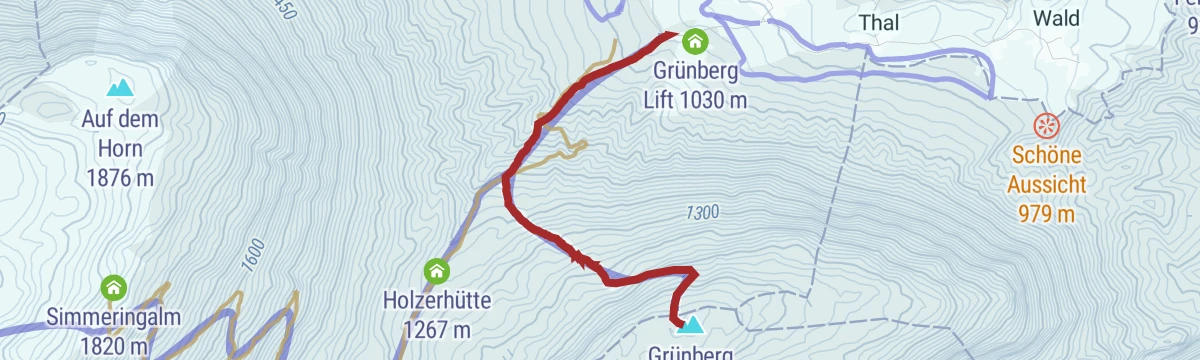
Skitour auf den Grünberg 1.497 m
Short forest ski tour from the Grünberg lift's valley station to the Grünberg at 1,497 m — modest terrain well suited to practice days.
- 2.4 km
- Distance
- 464 m
- Ascent
- 464 m
- Descent
- 1 h 30 min
- Duration
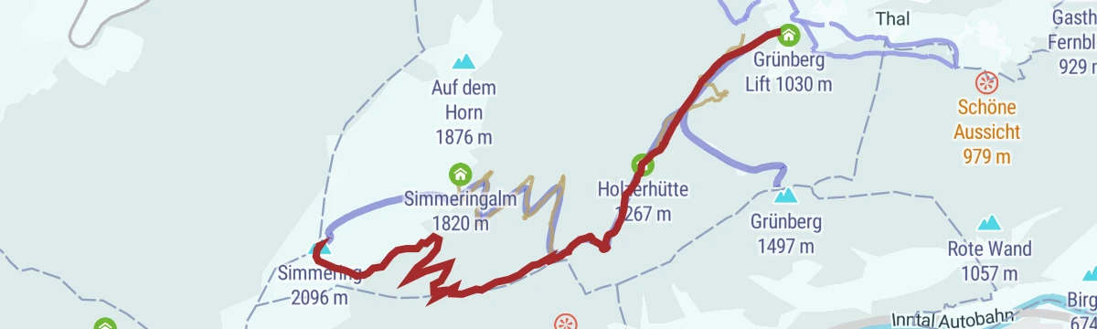
Skitour Simmering 2.096 m
Long ski tour from the Grünberg lift over the Holzerhütte to the Simmering at 2,096 m, more than 1,000 m of skinning to a broad summit view.
- 6.3 km
- Distance
- 1 065 m
- Ascent
- 1 065 m
- Descent
- 3 h 33 min
- Duration
- 4
- Check-ins
Marienbergalm (Nr. 605)
A steady climb on forest tracks from the Rossbach lifts to the high pasture at 1,622 m, passing a hunting lodge on the way.
- 9.7 km
- Distance
- 785 m
- Ascent
- 1 h 21 min
- Duration
- 10
- Check-ins
Wannig Runde | Marienbergjoch 23, 605, 835, R8, 610
A long mountain-bike circuit from Nassereith past the Fernpass, climbing by the Marienbergalm and Sunnalm to the Marienbergjoch.
- 31.0 km
- Distance
- 1 247 m
- Ascent
- 3 h 56 min
- Duration
- 45
- Check-ins
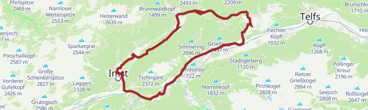
Mieminger Plateau Runde
A near-100 km road round out of the Inn valley, climbing to the terrace villages above Mieming and past Gasthaus Arzkasten.
- 97.1 km
- Distance
- 1 138 m
- Ascent
- 9 h 41 min
- Duration
- 12
- Check-ins
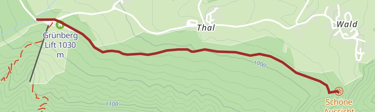
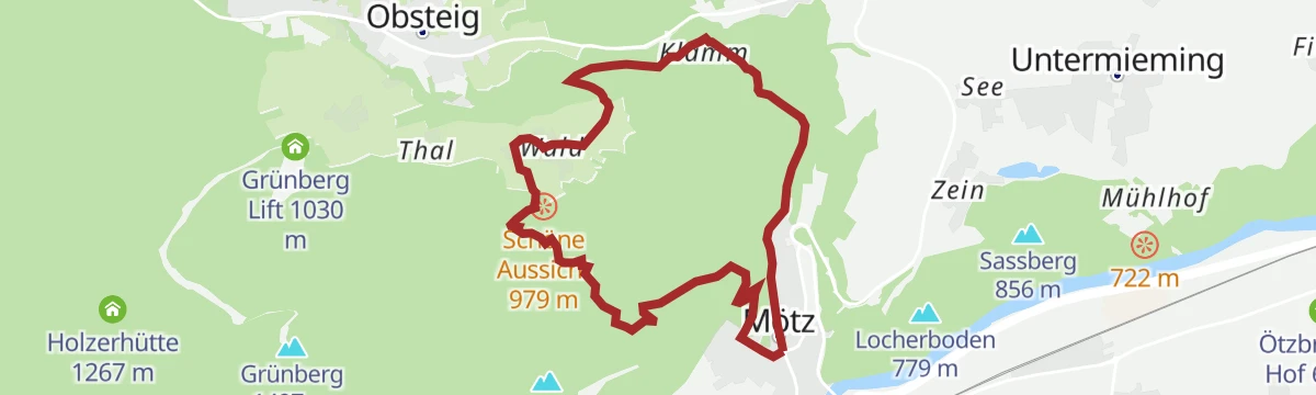
Schöne Aussicht
Short, easy round near the Grünberg lift at Mötz with a stop at the Liftcafe and broad views over the Inn valley — true to its name.
- 3.7 km
- Distance
- 50 m
- Ascent
- 59 min
- Duration
- 1
- Check-ins
Grünberg - Simmeringalm
From the Grünberg lift car park past the Holzerhütte to the alm below the Simmering — a steady 800 m climb to a well-placed hut terrace.
- 9.5 km
- Distance
- 795 m
- Ascent
- 5 h 4 min
- Duration
- 7
- Check-ins
Hölltörl
Demanding 14 km round from Arzkasten over the Marienbergalm and the Lehnberghaus to the Marienbergjoch, crossing scree and pine scrub at the Hölltörl notch.
- 14.1 km
- Distance
- 989 m
- Ascent
- 6 h 33 min
- Duration
- 24
- Check-ins
Lehnberg (Nr. 606)
A forest-road climb from Nassereith past Arzkasten to the mountain inn at 1,554 m, with the Rossbach lift near the start.
- 9.9 km
- Distance
- 709 m
- Ascent
- 1 h 18 min
- Duration
- 8
- Check-ins
Gravelrunde Tschirgantmassiv
A gravel circuit right around the Tschirgant massif, passing the Rafting Alm on the Inn and the mouth of the Pitztal.
- 56.0 km
- Distance
- 691 m
- Ascent
- 5 h 37 min
- Duration
- 20
- Check-ins
Genuss-Radweg Mieminger Plateau
A long tour over the terraces above Mieming, climbing to Gasthaus Arzkasten at 1,150 m and passing the Grünberg lift on the way round.
- 40.1 km
- Distance
- 731 m
- Ascent
- 4 h 15 min
- Duration
- 4
- Check-ins
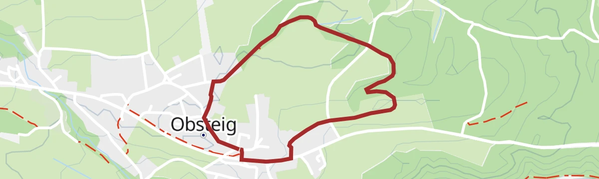
Obsteiger Larchsteig
Level stroll among the larch meadows on the edge of Obsteig — short, quiet and easily started from the village centre.
- 2.0 km
- Distance
- 29 m
- Ascent
- 32 min
- Duration
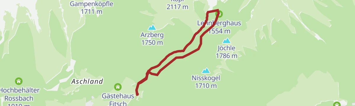
Lehnberghaus
Short forest climb of about 400 m from the Gasthaus Arzkasten up to the Lehnberghaus above Obsteig.
- 5.8 km
- Distance
- 409 m
- Ascent
- 2 h 42 min
- Duration
- 6
- Check-ins
Tschirgant - Simmering
A 14.6 km traverse from the Karröster Alm over the Zwölferkopf and Simmering towards Obsteig, passing the Haiminger Alm and the Simmeringalm.
- 14.6 km
- Distance
- 1 162 m
- Ascent
- 8 h 18 min
- Duration
- 22
- Check-ins
Simmering (629)
A forest-road ascent past the Klammle waterfall and the Holzerhütte to the Simmeringalm, high on the slope above Obsteig.
- 12.5 km
- Distance
- 785 m
- Ascent
- 2 h 2 min
- Duration
- 7
- Check-ins
Tschirgantrunde
A circuit of the Tschirgant on valley tracks, passing the Weiße Haus, Camping Rossbach and the turn-off into the Pitztal.
- 56.0 km
- Distance
- 691 m
- Ascent
- 5 h 37 min
- Duration
- 20
- Check-ins
Radweg Mieming (23)
A signed road tour out of Mieming with a long pull up to Gasthaus Arzkasten, then a descent back to the valley floor.
- 32.9 km
- Distance
- 665 m
- Ascent
- 3 h 33 min
- Duration
- 1
- Check-ins
Lehnberghaus/Lacke
Direct route from Arzkasten to the Lehnberghaus and on toward the Lacke — short, steep and straight to the viewpoints.
- 6.1 km
- Distance
- 396 m
- Ascent
- 2 h 41 min
- Duration
- 6
- Check-ins
Gipfeltour: Wankspitze
Summit hike from Arzkasten past the Lehnberghaus onto the Wankspitze, a steep 1,000 m day topping out high above the Mieming plateau.
- 10.7 km
- Distance
- 1 026 m
- Ascent
- 6 h 22 min
- Duration
- 15
- Check-ins
Arzkasten-Aschland-Holzleiten (607)
A forest-road circuit on the Mieminger plateau above Obsteig, running past the Arzkasten inn and the Grünberg lift.
- 11.4 km
- Distance
- 342 m
- Ascent
- 1 h 20 min
- Duration
- 2
- Check-ins
Imster Radmarathon | Panoramarunde (Jubiläum)
A long tour out of Imst over the Holzleitensattel at 1,119 m, looping back down the Inn valley past the mouth of the Pitztal.
- 79.5 km
- Distance
- 727 m
- Ascent
- 7 h 45 min
- Duration
- 14
- Check-ins
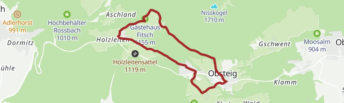
Adlerhorst
Rolling loop above Obsteig via Gasthaus Arzkasten and Gästehaus Fitsch to a lookout over the Gurgltal basin.
- 10.6 km
- Distance
- 326 m
- Ascent
- 3 h 18 min
- Duration
- 2
- Check-ins
Simmeringalm
A steep, shaded haul from Dormitz that packs more than 1,000 m of climb into under 4 km before opening out at the Simmeringalm.
- 3.8 km
- Distance
- 950 m
- Ascent
- 3 h 31 min
- Duration
- 6
- Check-ins
Tschirgantrunde mit dem Rennrad
A round of the Tschirgant crossing the Holzleitensattel at 1,119 m, with the return along the floor of the Inn valley.
- 51.8 km
- Distance
- 683 m
- Ascent
- 5 h 14 min
- Duration
- 12
- Check-ins
Aussichtsplattform Inntalblick
Round from the Grünberg lift past the Holzerhütte to a viewing platform over the Inn valley, with the Liftcafe waiting on the return.
- 7.5 km
- Distance
- 316 m
- Ascent
- 2 h 32 min
- Duration
- 2
- Check-ins
Simmeringalm über Holzleiten
Longer approach to the Simmeringalm starting from Holzleiten, 9.6 km with over 1,000 m of climb and wide views from the pasture.
- 9.6 km
- Distance
- 977 m
- Ascent
- 4 h 18 min
- Duration
- 6
- Check-ins
Simmering (Nr. 629)
A long climb above Nassereith on forest roads by way of Arzkasten and the Holzerhütte, topping out at an alm at 1,820 m.
- 15.6 km
- Distance
- 1 091 m
- Ascent
- 2 h 4 min
- Duration
- 10
- Check-ins
Jakobsweg „Tirol-Allgäu“ von Stams bis Obsteig
Pilgrim stage of the Tirol–Allgäu Way of St James from the abbey village of Stams up onto the Mieming plateau to Obsteig.
- 16.0 km
- Distance
- 600 m
- Ascent
- 5 h 13 min
- Duration
- 2
- Check-ins
Grünberg - Haiminger Alm
Long traverse high above the Inn valley from the Grünberg to the Haiminger Alm, stringing together the Holzerhütte, Guggehütte and Hubertushütte.
- 15.9 km
- Distance
- 868 m
- Ascent
- 6 h 11 min
- Duration
- 3
- Check-ins
Nordic Walking: Larchwiesen-Runde
Nordic walking round through the larch meadows above Obsteig, passing Gasthaus Arzkasten and Gästehaus Fitsch on rolling lanes.
- 8.7 km
- Distance
- 241 m
- Ascent
- 2 h 38 min
- Duration
- 2
- Check-ins
Jakobsweg Anschlussweg: Stams - Nassereith
First stage of the link route towards the Ausserfern, 17.7 km from Stams over Arzkasten and down to Nassereith and its lake.
- 17.7 km
- Distance
- 524 m
- Ascent
- 5 h 16 min
- Duration
- 2
- Check-ins
Adlerhorstrunde Groß
Longer circuit above Nassereith, 12 km through meadows and woodland with a moderate 345 m of ascent and repeated views down the valley.
- 12.1 km
- Distance
- 391 m
- Ascent
- 3 h 47 min
- Duration
- 1
- Check-ins
Jakobsweg Etappe 1 Stams - Nassereith
Opening stage of the Jakobsweg branch toward the Ausserfern: from Stams abbey across the Mieming plateau past Arzkasten, ending at Nassereith and its lake.
- 17.9 km
- Distance
- 640 m
- Ascent
- 5 h 47 min
- Duration
- 2
- Check-ins
Burg Klamm - Wasserfall - Gschwenter Hohlweg
Varied round past the Burg Klamm ruin and its waterfall, returning through the old sunken lane at Gschwent, with the Liftcafe at the Grünberg lift en route.
- 9.8 km
- Distance
- 296 m
- Ascent
- 3 h 1 min
- Duration
- 1
- Check-ins
Mötz - Burg Klamm - Mötz
Loop from Mötz up through forest to the Burg Klamm ruin above its stream gorge and back, a moderate round with about 400 m of climbing.
- 8.4 km
- Distance
- 394 m
- Ascent
- 2 h 57 min
- Duration
Nordic Walking: Gschwenter Runde
Nordic walking circuit around the Gschwent side of Obsteig — steady, open going on plateau lanes and field paths.
- 8.4 km
- Distance
- 167 m
- Ascent
- 2 h 23 min
- Duration
No routes of this kind in Obsteig yet.
The region's own picks

Featured route
Aussichtsplattform am Simmering - Horn
Short spur from the Simmeringalm to a viewing platform on the Horn — minimal effort for a wide panorama over the Inn valley.
Planning a trip to Obsteig?
Everything else Tyrol has, in one place


Take Obsteig with you into the mountains
Every route on this page with 3D terrain, GPX navigation and offline maps — including the valleys with no signal.
Data sources
- Official website: innsbruck.info ↗
- Routes and highlights: Innsbruck Tourismus, Imst Tourismus, Ötztal Tourismus, Climbers Paradise *Neu*, Region Seefeld, St. Anton am Arlberg, Tirol Werbung, Serfaus-Fiss-Ladis, Tannheimer Tal
- Published as open data by the tourist boards named above.
- Region summary generated from the board's own material.
