
 Mountain hut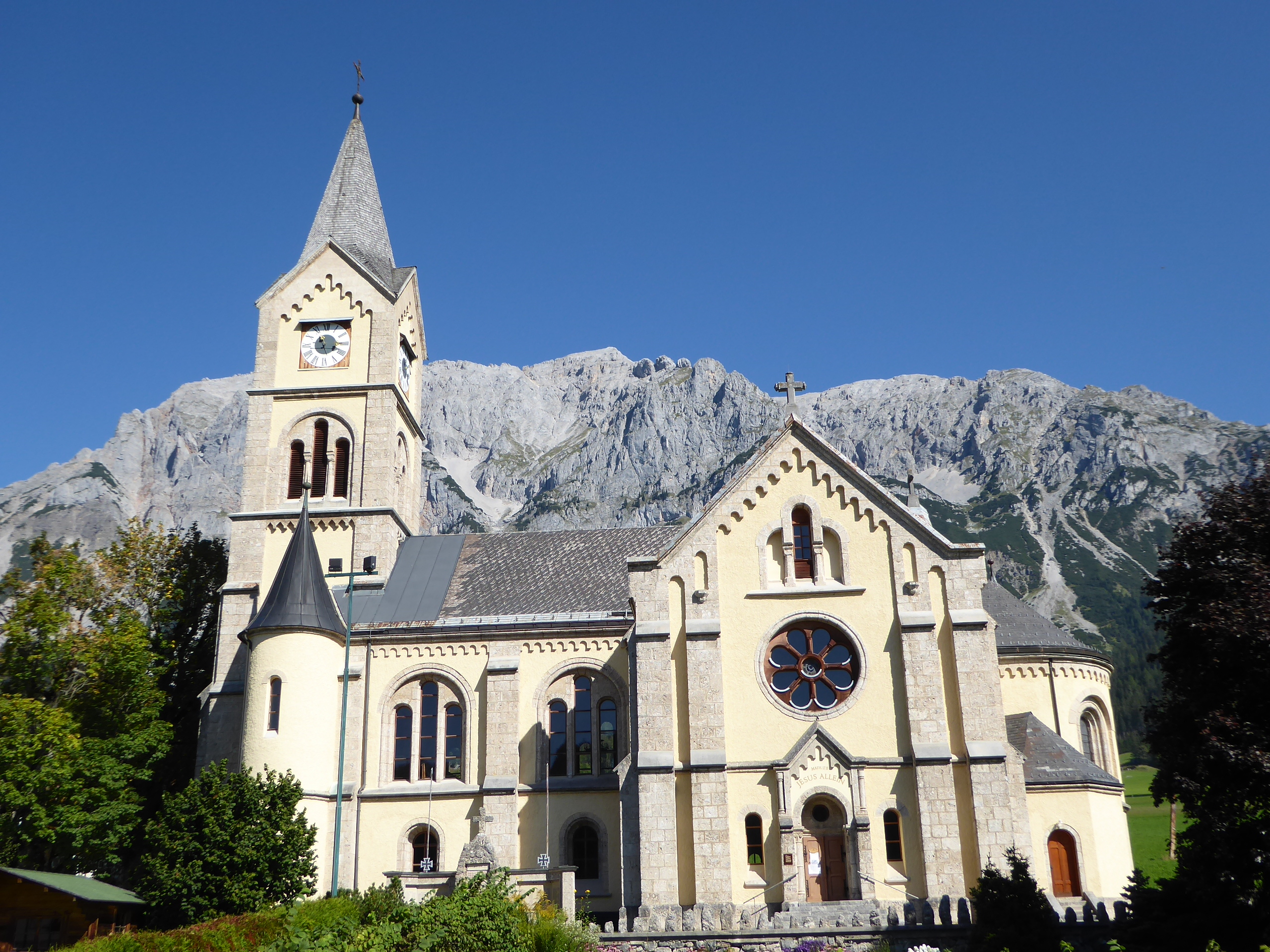


 Cable car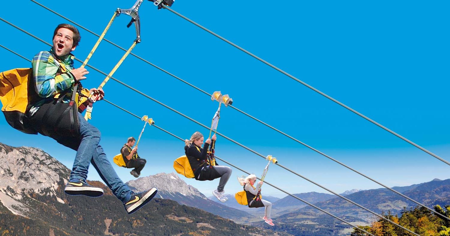


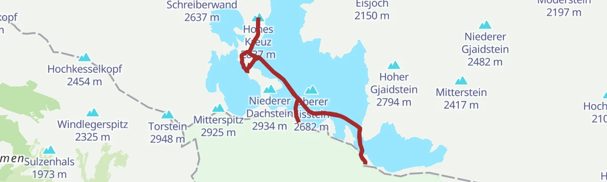


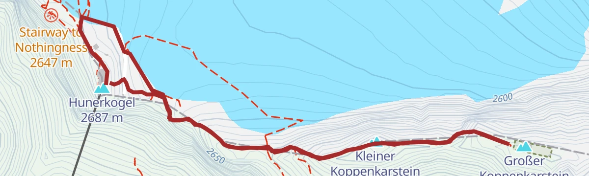

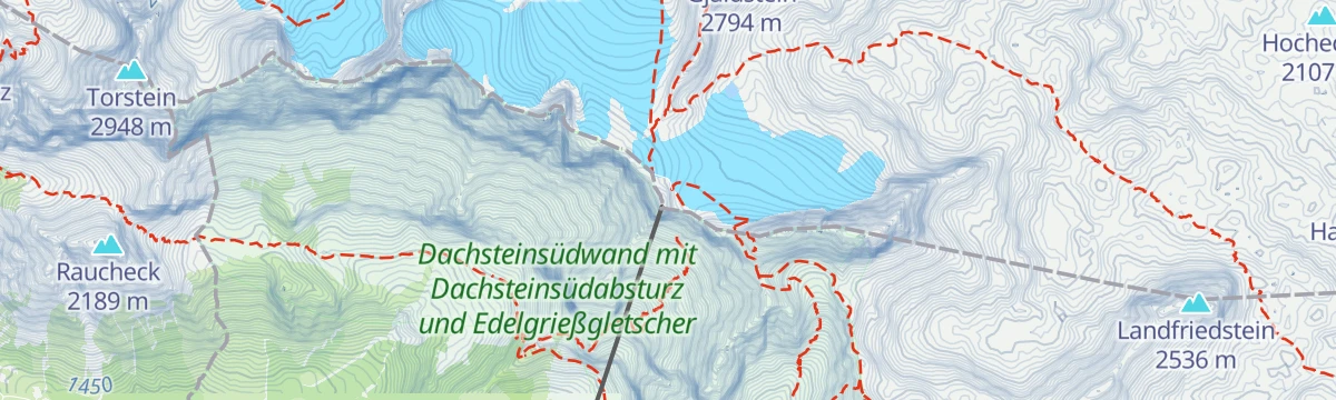

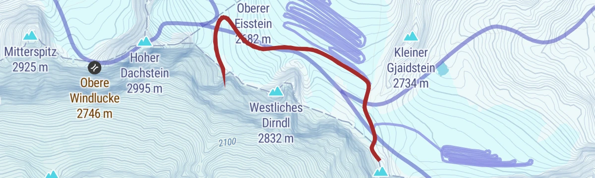


Curated by Schladming-Dachstein Tourismus
Obertraun
On the flat Traun delta facing Hallstatt across the lake, base for the Dachstein ice caves and the Krippenstein plateau within the UNESCO world-heritage landscape.
Photo: C.Stadler/Bwag licence
- 1Highlights
- 19Routes
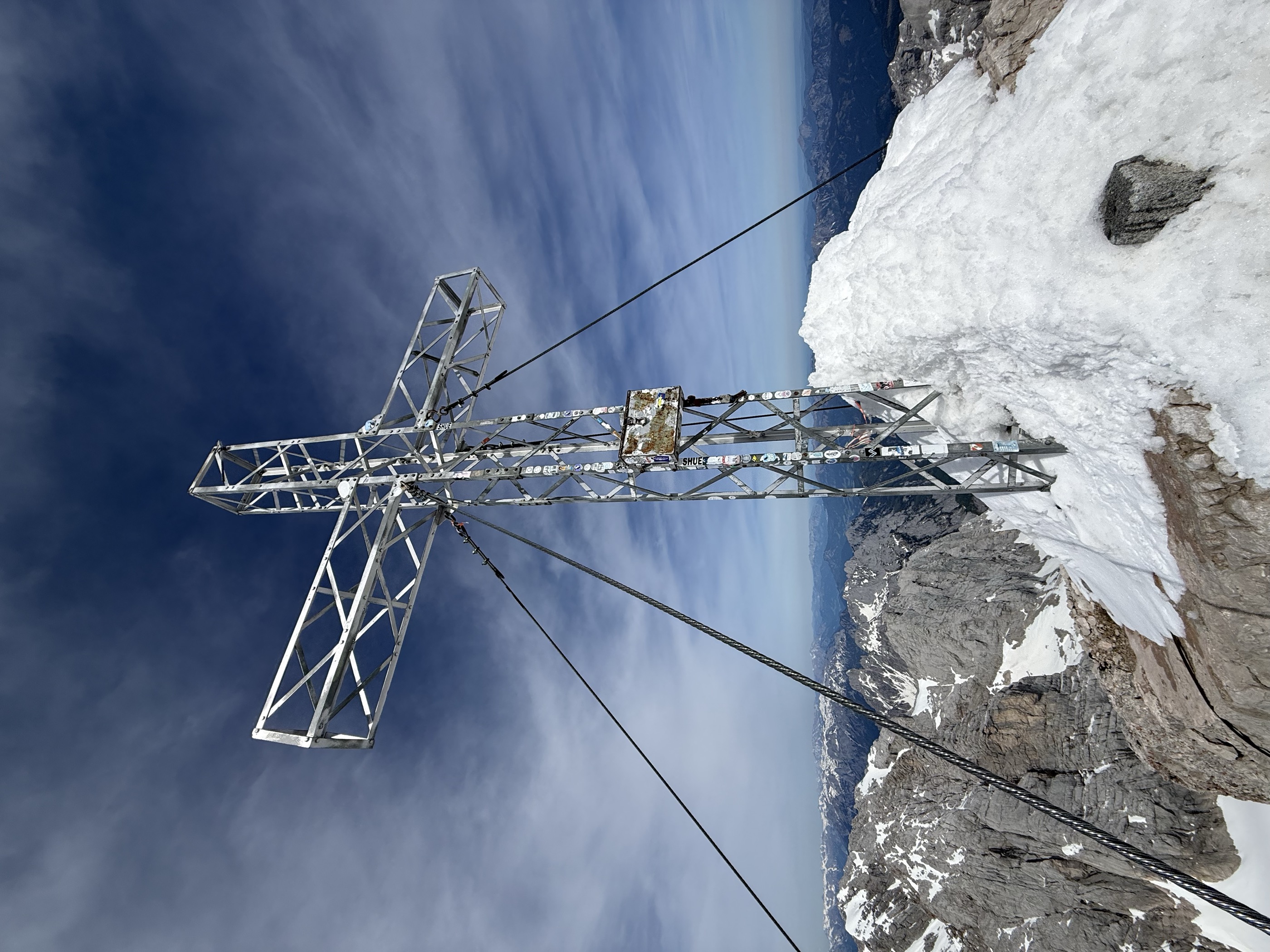
- Featured summit · Hoher Dachstein
Highlights
14 from neighbouring places
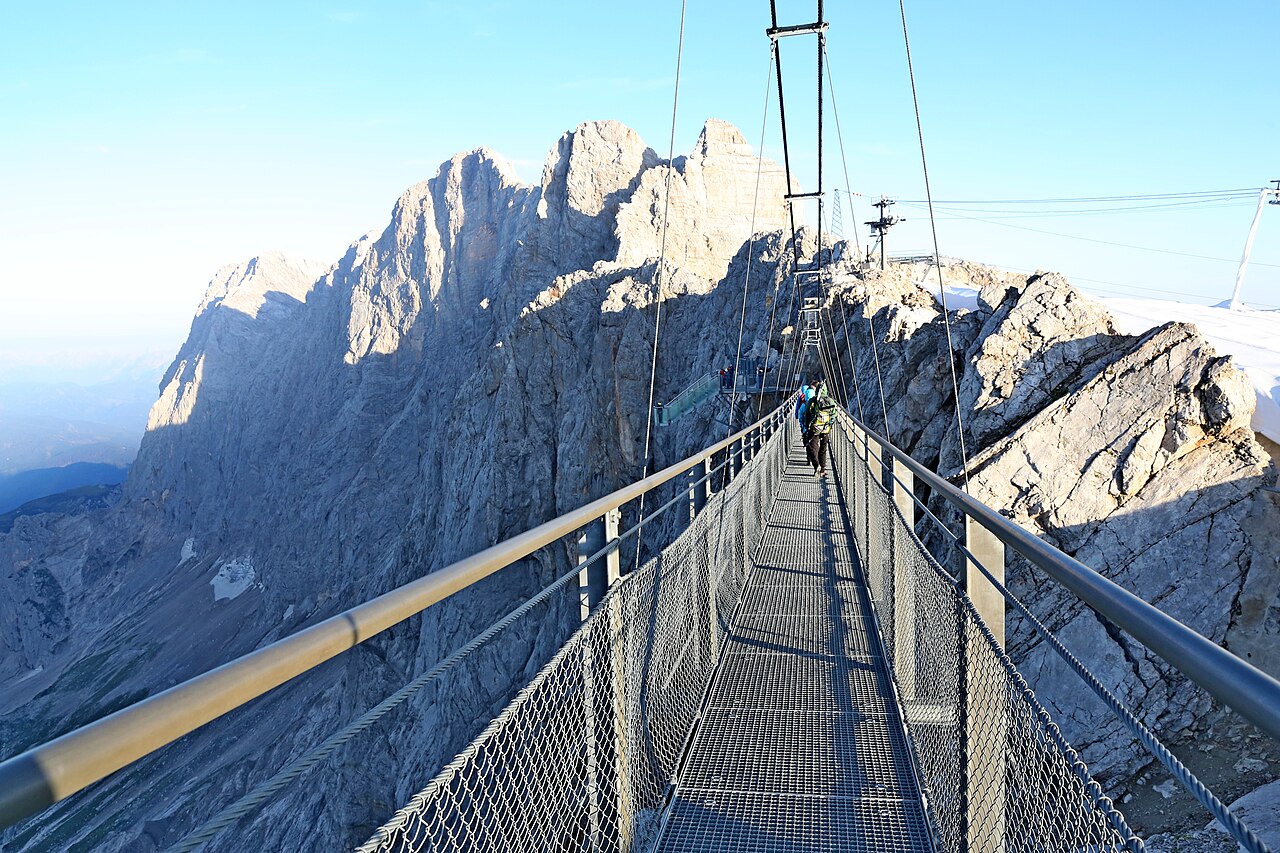
Hängebrücke
A suspension bridge at the Dachstein glacier station above Ramsau am Dachstein, leading towards the Stairway to Nothingness viewing platform.
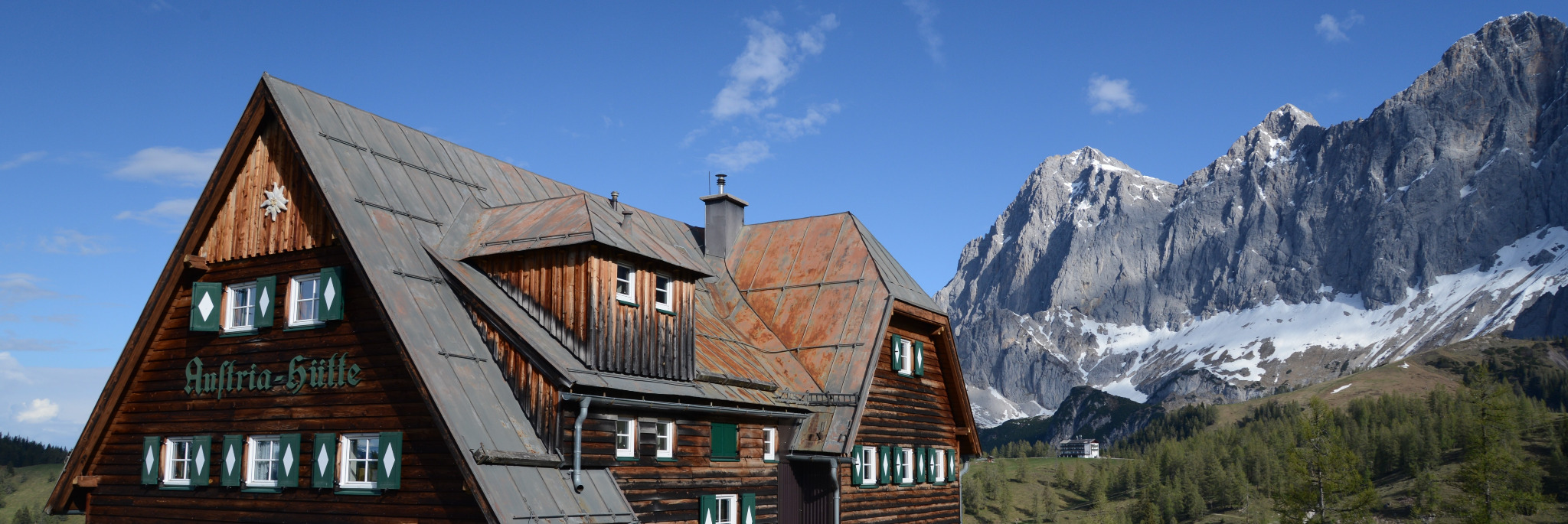
Dachstein Museum Austriahütte
10.3 km away, in Ramsau am Dachstein
A small alpine museum at the Austriahütte below the Dachstein south face, telling the climbing and natural history of the massif.
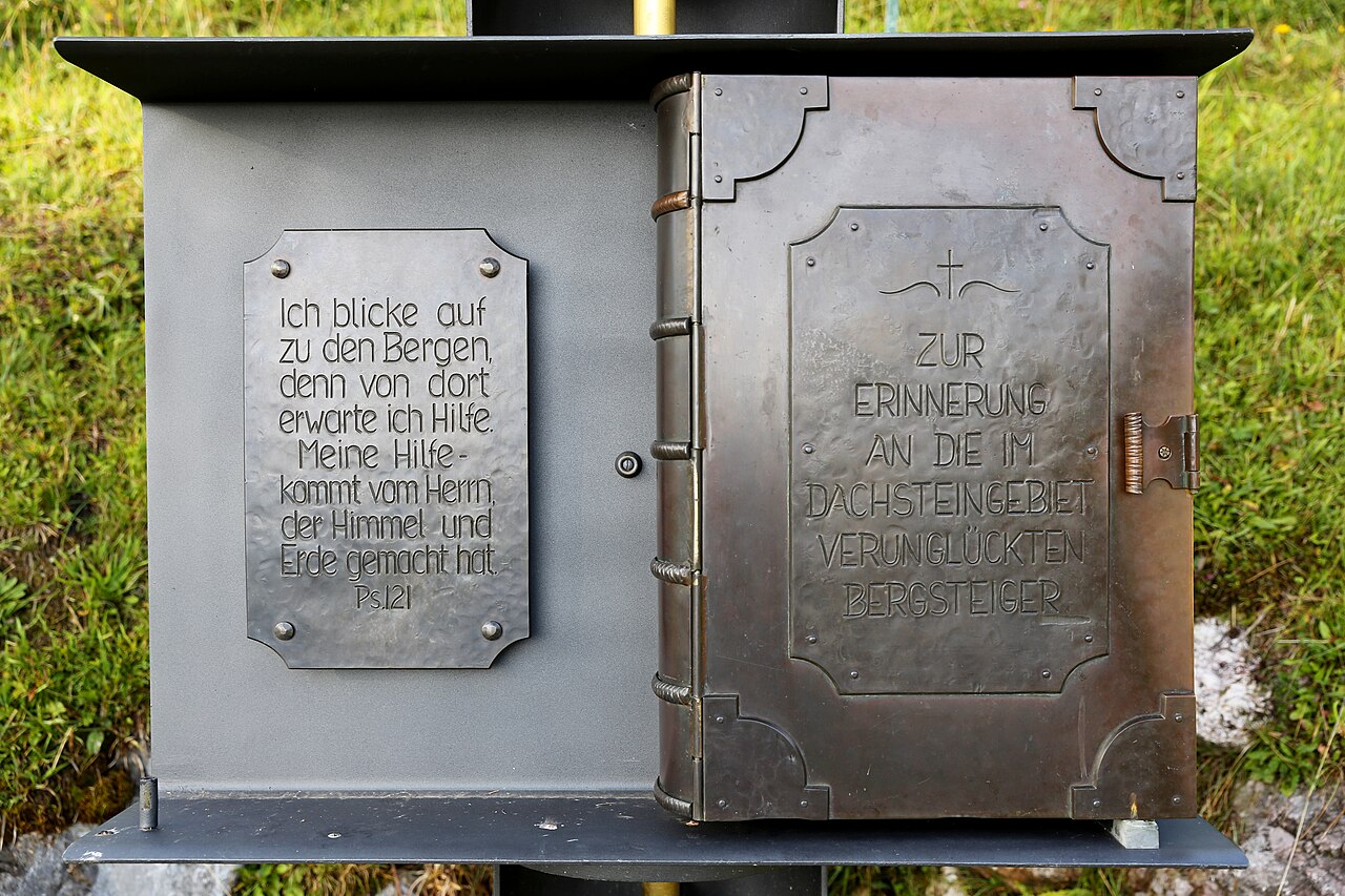
Dachstein Kircherl
10.4 km away, in Ramsau am Dachstein
A small chapel below the Dachstein south face above Ramsau, near the mountaineers' memorial on the way to the glacier cable car.
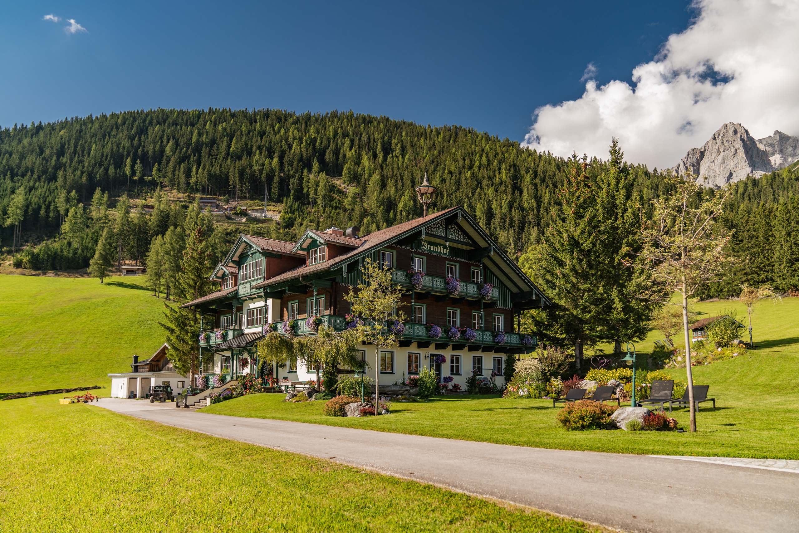
Brandhof Chalets am Berg
10.4 km away, in Ramsau am Dachstein
Chalets at the Brandhof near the Dachstein south-face road in Ramsau am Dachstein, rented as mountain accommodation at the foot of the cliffs.
Evangelische Kirche in Ramsau Ort
11.2 km away, in Ramsau am Dachstein
The Protestant church in the centre of Ramsau am Dachstein, the main church of a plateau community with a strong Lutheran tradition.
Ritzingerhütte
11.9 km away, in Gröbming
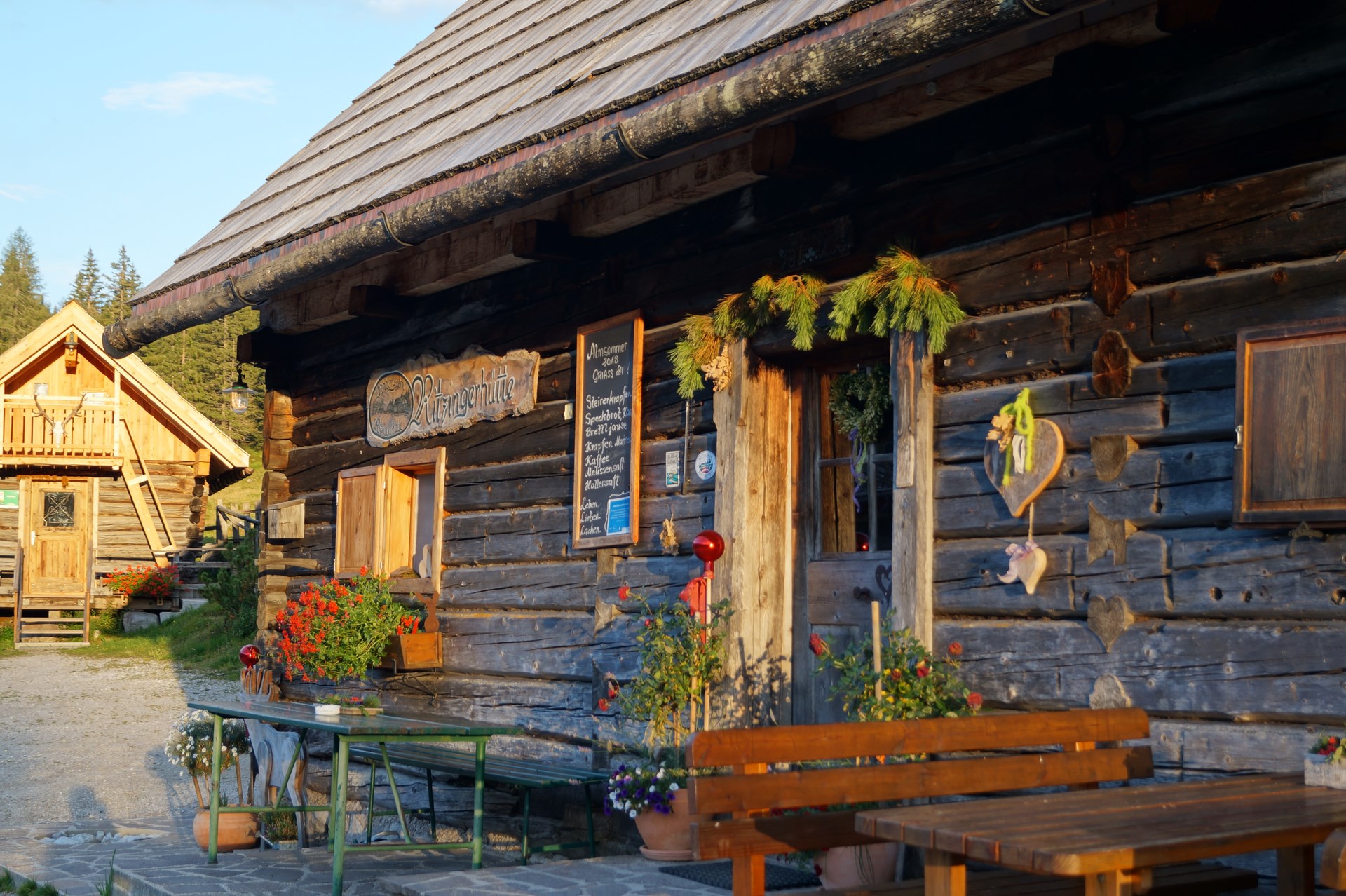
A mountain hut above Gröbming in the Enns valley, rented as a base for walking in the hills north of the town.
Ausseer Kammerhofmuseum
12 km away, in Bad Aussee
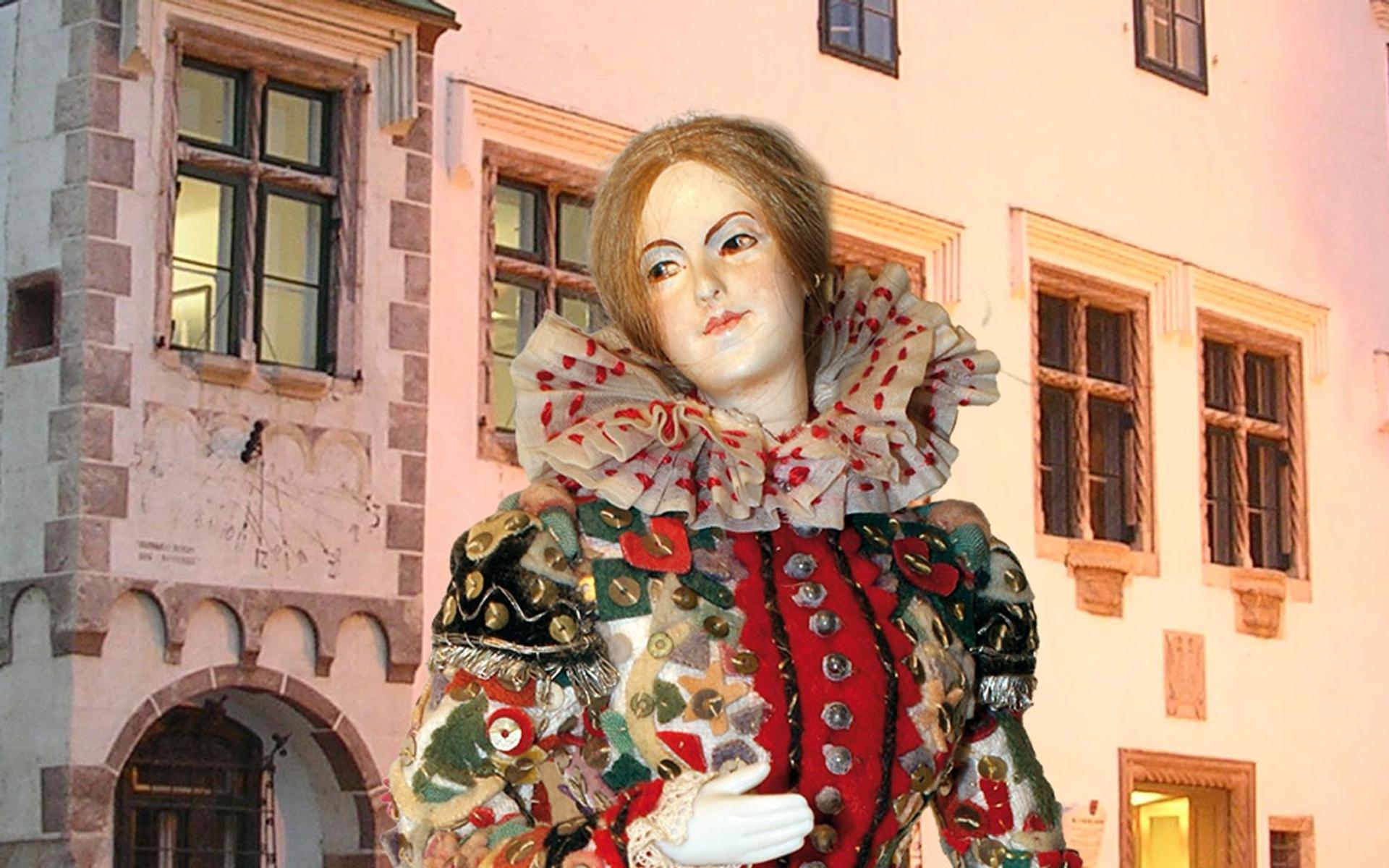
The district museum of Bad Aussee in the old Kammerhof, tracing the Ausseerland's turn from salt town to summer resort.
Knaushof
12.6 km away, in Ramsau am Dachstein
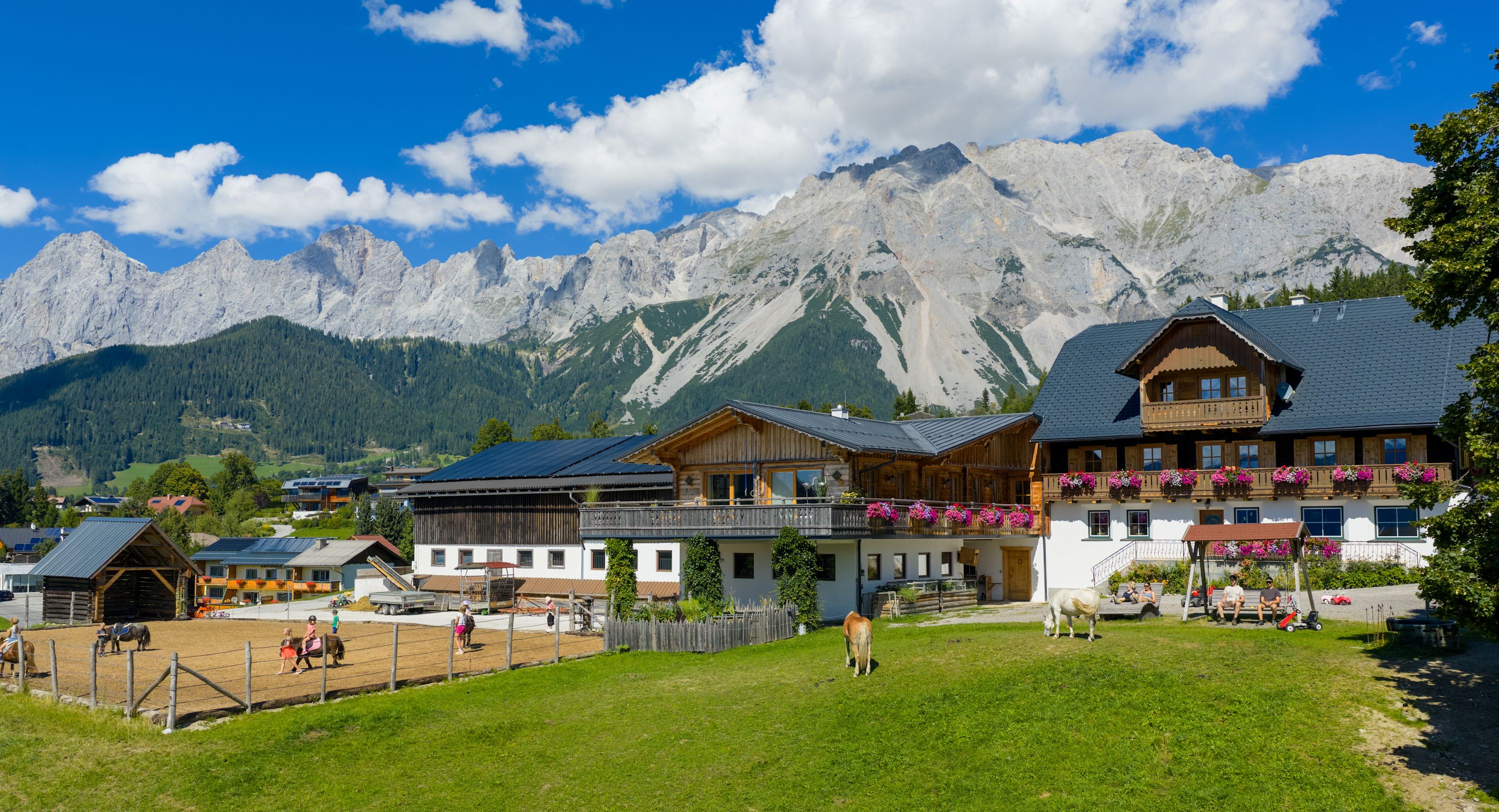
A farm at Ramsau am Dachstein offering farm-stay rooms on the plateau at about 1,100 m, with the Dachstein cliffs behind.
Slalom Kart
12.9 km away, in Ramsau am Dachstein
A downhill kart slalom at a farm in Ramsau am Dachstein, where karts weave through gates on a slope course.
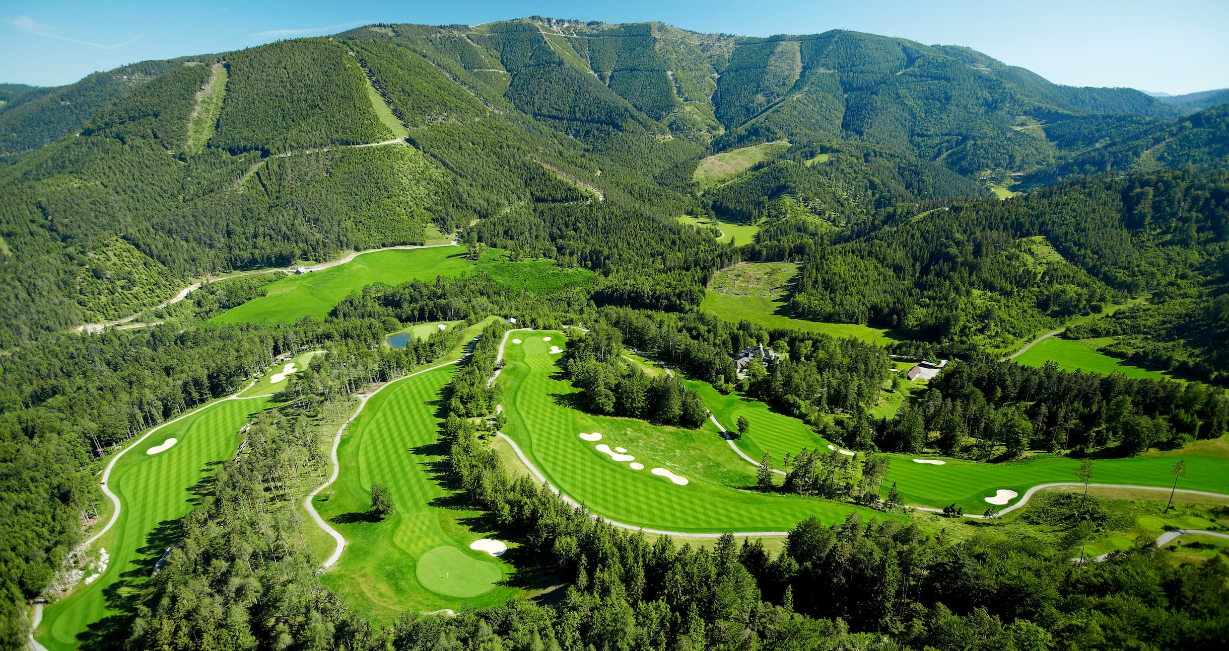
Golfclub Schladming-Dachstein
13 km away, in Haus
An 18-hole golf course at Haus im Ennstal, laid out on the valley floor with the Dachstein and the Schladminger Tauern in view.
Dachstein Alpakas am Biobauernhof Grundlehner
13 km away, in Ramsau am Dachstein
An organic farm in Ramsau am Dachstein keeping alpacas, offering walks with the animals below the Dachstein south face.
Margarethenkirche in Oberhaus
13.4 km away, in Haus
A church dedicated to St. Margaret at Oberhaus above Haus im Ennstal, an old hillside church overlooking the Enns valley.
Pfarrkirche Haus im Ennstal
13.4 km away, in Haus
The parish church of Haus im Ennstal (761 m), whose tower marks the old market village between Schladming and Gröbming.
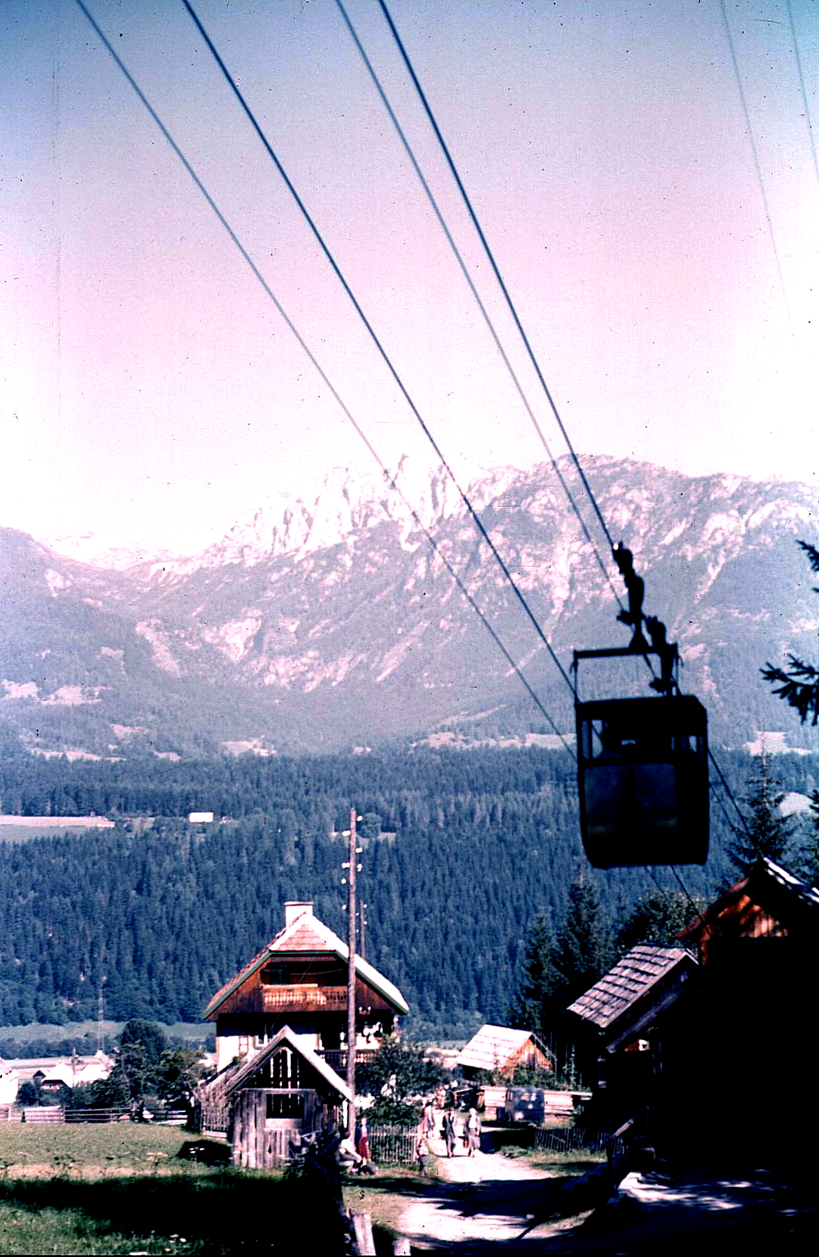
Schladminger Tauern Seilbahn
13.7 km away, in Haus
A small summer cable lift at Haus im Ennstal rising towards the Schladminger Tauern, serving a mountain inn above the valley.
Zipline am Stoderzinken
13.9 km away, in Gröbming
A zipline descending from the Stoderzinken towards Gröbming, where riders on parallel ropes reach high speeds above the forest.
Nothing of this kind in Obertraun.
Routes
Johann Klettersteig
The long classic via ferrata up the Dachstein south face, approached from the Dachsteinsüdwandhütte; snow can cover the first cables well into summer, and the exit leads over the glacier past the Seethalerhütte.
- 5.9 km
- Distance
- 550 m
- Ascent
- 4 h 21 min
- Duration
- 149
- Check-ins
Dachstein Westgrat Klettersteig
A west-ridge climb to the Hoher Dachstein reached over the Steiner Scharte and the Gosau glacier, where crampons and a rope are required; the descent uses the Randkluft or Schulter routes.
- 7.0 km
- Distance
- 210 m
- Ascent
- 3 h 8 min
- Duration
- 134
- Check-ins
Schulter und Randkluft Klettersteig Hoher Dachstein
Two linked secured routes to the Hoher Dachstein starting near the Seethalerhütte; glacier travel with crampons and rope is part of the day, and the ice below the Randkluft has steepened as the glacier shrinks.
- 5.6 km
- Distance
- 250 m
- Ascent
- 2 h 46 min
- Duration
- 129
- Check-ins
Amon Klettersteig
A west-wall via ferrata on the Dachstein whose upper section starts at the Simonyscharte; the full line begins below the wall on the crevassed Gosau glacier and is graded up to C/D.
- 8.3 km
- Distance
- 360 m
- Ascent
- 4 h 4 min
- Duration
- 114
- Check-ins
Irg 2 Klettersteig
Reached through the Rosmarie tunnel and across the upper Edelgrießkar, this secured line above the Edelgrießhöhe is usually descended via the Koppenkarstein west ridge to the Austriascharte.
- 3.7 km
- Distance
- 300 m
- Ascent
- 2 h 28 min
- Duration
- 100
- Check-ins
Koppenkarstein Westgrat Klettersteig
A west-ridge via ferrata starting near the Hunerscharte, with a rope bridge near the Austriascharte and a return past the Rosmarie tunnel ladder to the groomed glacier track.
- 2.7 km
- Distance
- 300 m
- Ascent
- 2 h 18 min
- Duration
- 100
- Check-ins
Gjaidstein Klettersteig
An easy summit via ferrata beginning at the Gjaidsteinsattel near the mountain-rescue hut, a short outing from the glacier cable car with wide views over the Dachstein plateau.
- 3.5 km
- Distance
- 170 m
- Ascent
- 1 h 47 min
- Duration
- 99
- Check-ins
Hunerkogel Klettersteig
The shortest of the Dachstein glacier via ferratas, dropping from the suspension bridge at the cable-car top station toward the Hunerscharte and finishing at the terrace.
- 43 m
- Distance
- 50 m
- Ascent
- 18 min
- Duration
- 94
- Check-ins
Sky Walk Klettersteig
A short secured climb below the Hunerscharte, reached down the Hunerschartensteig and finishing back at the Dachstein cable car's summit platform.
- 369 m
- Distance
- 150 m
- Ascent
- 58 min
- Duration
- 94
- Check-ins
Dirndl-Tour
A short glacier ski tour on the Dachstein plateau near the Gjaidsteinsattel, an easy leg from the cable car with the Seethalerhütte close by.
- 4.0 km
- Distance
- 186 m
- Ascent
- 186 m
- Descent
- 1 h 14 min
- Duration
- 111
- Check-ins
Eissee-Tour
A glacier ski tour from the Dachstein cable car past the Simonyhütte and the Oberer Eissee, an 11 km plateau round with about 870 m of climbing.
- 11.0 km
- Distance
- 874 m
- Ascent
- 874 m
- Descent
- 3 h 49 min
- Duration
- 128
- Check-ins
Dachstein Überquerung - Österreichs National Skitour
Austria's classic ski crossing of the Dachstein plateau, running from the Gletscherbahn past the Simonyhütte and the Gjaid Alm to the Krippenstein cable car on the Obertraun side.
- 18.4 km
- Distance
- 254 m
- Ascent
- 254 m
- Descent
- 4 h 49 min
- Duration
- 141
- Check-ins
Kleine Mitterstein-Tour
A very short glacier tour from the Dachstein cable car with barely 140 m of climbing — a first taste of skinning at altitude on the plateau.
- 2.2 km
- Distance
- 138 m
- Ascent
- 138 m
- Descent
- 43 min
- Duration
- 89
- Check-ins
Skitour mit Besteigung Dachsteingipfel
Glacier ski tour from the Hunerkogel cable-car station across to the Gjaidsteinsattel, finishing with the secured climb to the Hoher Dachstein at 2,995 m.
- 4.8 km
- Distance
- 415 m
- Ascent
- 415 m
- Descent
- 1 h 44 min
- Duration
- 109
- Check-ins
Rumpler Runde- rund um den Gjaidstein
A big glacier circuit around the Gjaidstein with about 1,250 m of climbing, swinging past the Simonyhütte and the Gjaid Alm before returning to the Dachstein cable car.
- 19.2 km
- Distance
- 1 259 m
- Ascent
- 1 259 m
- Descent
- 6 h 20 min
- Duration
- 133
- Check-ins
Die klassische Tour "Über den Stein" zum Guttenberghaus
A plateau crossing on skis from the Dachstein glacier to the Guttenberghaus, followed by the long descent past the Lärchbodenalm into the Ennstal.
- 11.4 km
- Distance
- 204 m
- Ascent
- 204 m
- Descent
- 3 h 4 min
- Duration
- 108
- Check-ins
Skitour durch die Notgasse
Glacier-to-valley ski traverse from the Dachstein Gletscherbahn top station, crossing the plateau past the Lackenmoosalm and descending through the Notgasse, a narrow rock gorge known for its historic carvings.
- 22.7 km
- Distance
- 346 m
- Ascent
- 346 m
- Descent
- 5 h 59 min
- Duration
- 89
- Check-ins
Skitour Gruberscharte
A glacier ski tour served by the Dachstein Gletscherbahn: from the Hunerkogel across the plateau to the Gruber Scharte, with a long descent past the Lärchbodenalm toward the valley.
- 10.1 km
- Distance
- 363 m
- Ascent
- 363 m
- Descent
- 2 h 57 min
- Duration
- 96
- Check-ins
Große Mitterstein-Tour
A short ski circuit on the glacier plateau from the Dachstein cable car's summit station at the Hunerkogel, rounding a rocky island in the firn with the high Dachstein walls close by.
- 4.4 km
- Distance
- 381 m
- Ascent
- 381 m
- Descent
- 1 h 34 min
- Duration
- 89
- Check-ins
No routes of this kind in Obertraun yet.
The region's own picks

 Featured route
Johann Klettersteig
The long classic via ferrata up the Dachstein south face, approached from the Dachsteinsüdwandhütte; snow can cover the first cables well into summer, and the exit leads over the glacier past the Seethalerhütte.
Planning a trip to Obertraun?
Everything else Upper Austria has, in one place


Take Obertraun with you into the mountains
Every route on this page with 3D terrain, GPX navigation and offline maps — including the valleys with no signal.
Data sources
- Official website: schladming-dachstein.at ↗
- Routes and highlights: Schladming-Dachstein Tourismus, Salzkammergut
- Published as open data by the tourist boards named above.
- Region summary generated from the board's own material.
