

 Historic site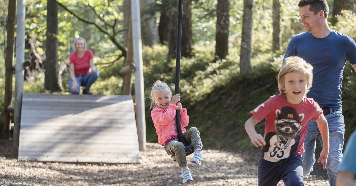




















Curated by Kitzbüheler Alpen Tourismus
Oberndorf in Tirol
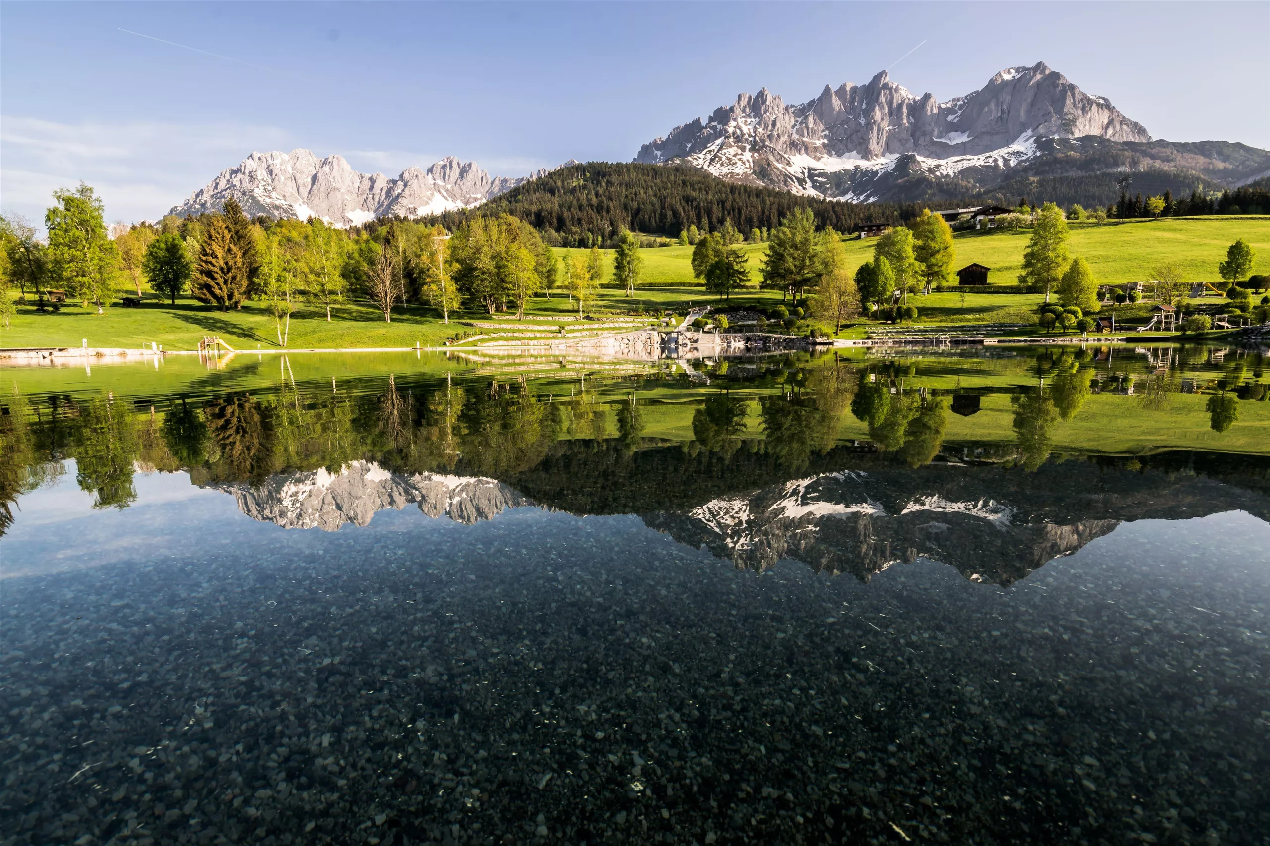
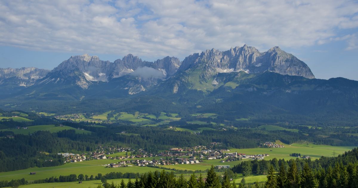
A village on the Kitzbüheler Ache between St. Johann and Kitzbühel, farmland at 687 m that claims the world's largest wooden fountain.
Photo: Michielverbeek licence
- 3Highlights
- 68Routes
- Featured summit · Kitzbüheler Horn
Highlights
12 from neighbouring places
Bichlachbad
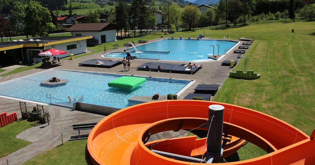
The outdoor swimming pool of Oberndorf in Tirol at 687 m, a summer bathing spot in the Bichlach area between St. Johann and Kitzbühel.
Paintballverein Kitzbühel
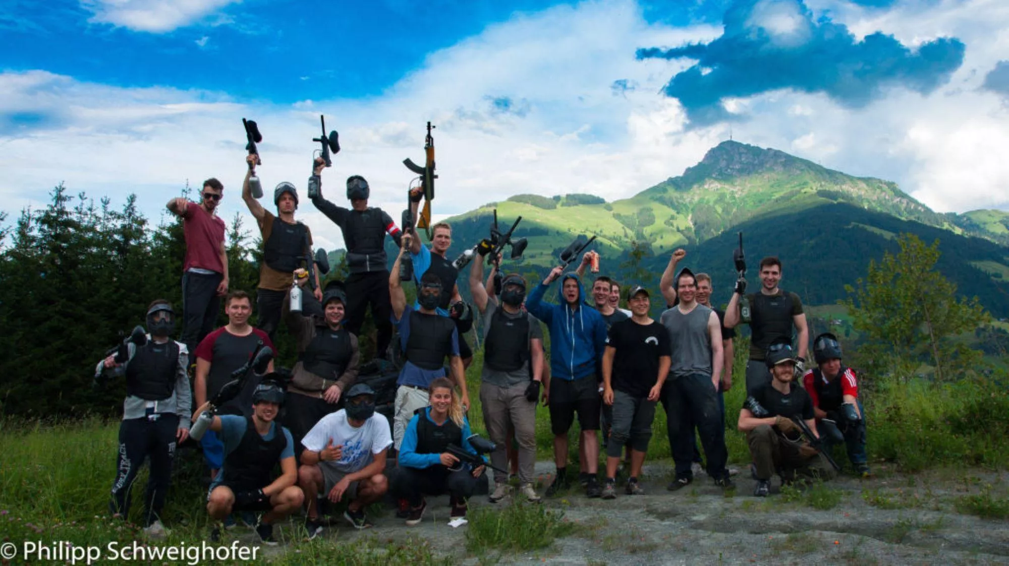
A paintball club ground at Oberndorf near Kitzbühel, offering marked playing fields and equipment for visiting groups.
Rerobichl Bergbau Museum
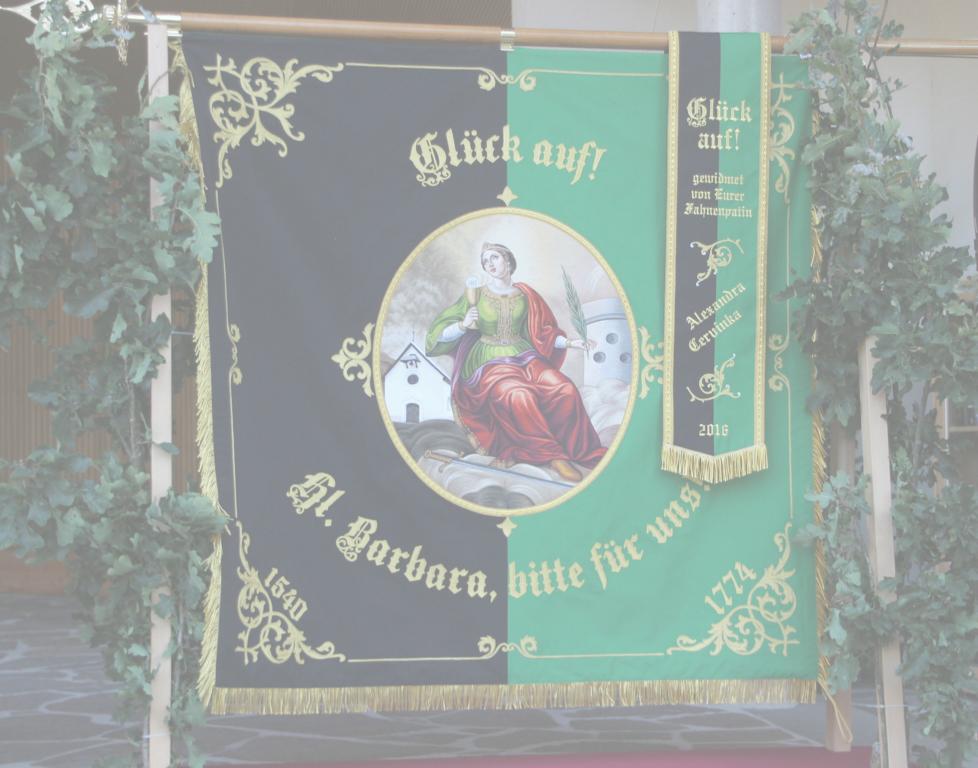
A mining museum at Oberndorf in Tirol recalling the Rerobichl, a hill whose silver and copper shafts were among the deepest of their time.
Stanglalm
2.9 km away, in St. Johann in Tirol
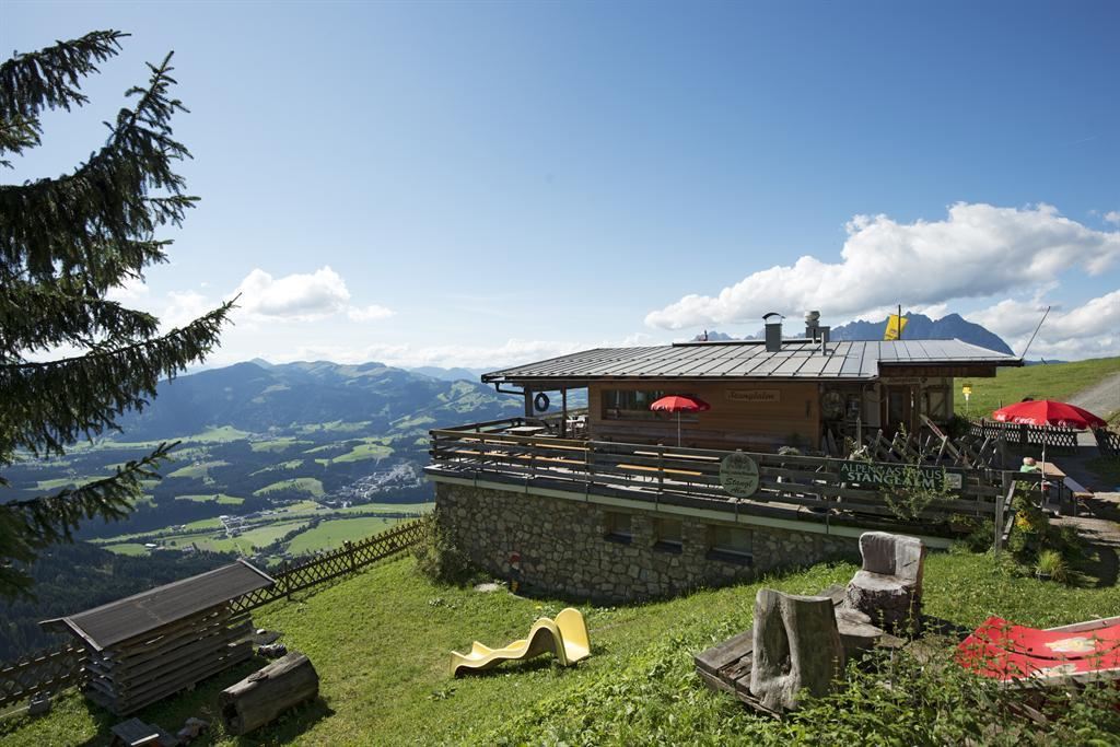
A pasture hut above Oberndorf in Tirol on the flanks of the Kitzbüheler Horn range, serving alm food to walkers and skiers.
Alpengasthof Hirschberg
3 km away, in St. Johann in Tirol
An Alpengasthof in the hills above St. Johann in Tirol, combining guest rooms with a kitchen that serves walkers in the Kitzbüheler Alpen.
Hornpark - Kletterwald
3.1 km away, in St. Johann in Tirol
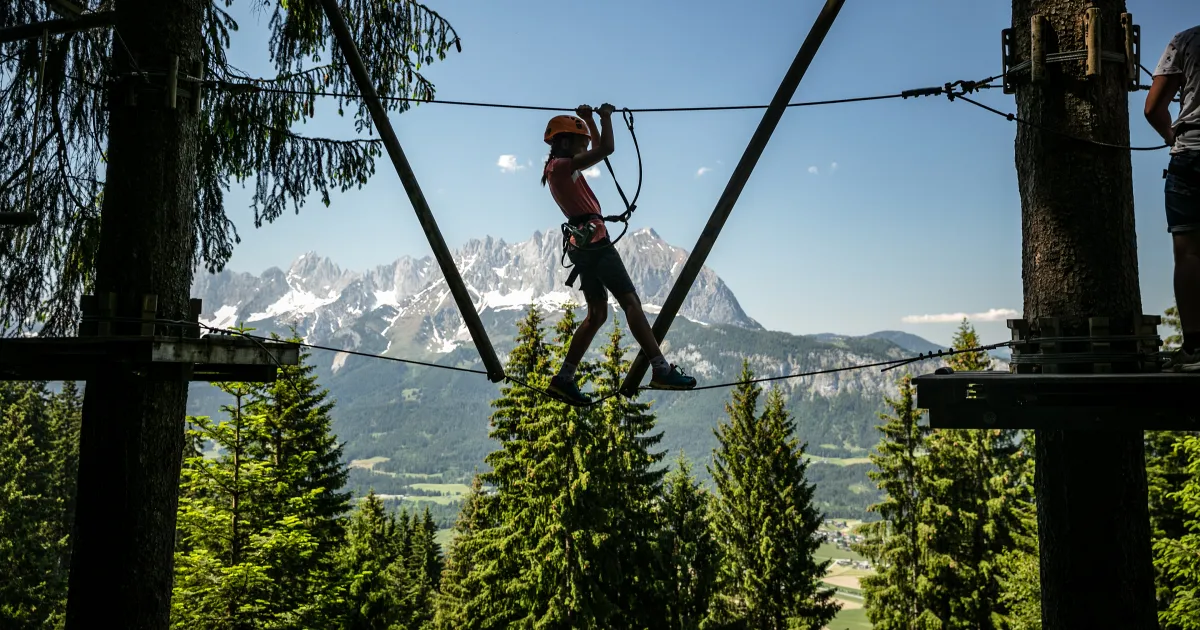
A forest high-ropes park at the base of the Kitzbüheler Horn near St. Johann in Tirol, with rope courses of varying difficulty strung between the trees.
Angerer Alm
3.3 km away, in St. Johann in Tirol
A mountain inn at the Harschbichl above St. Johann in Tirol, serving regional cooking near the top station of the local lifts.
Johanneskapelle
3.4 km away, in Going am Wilden Kaiser
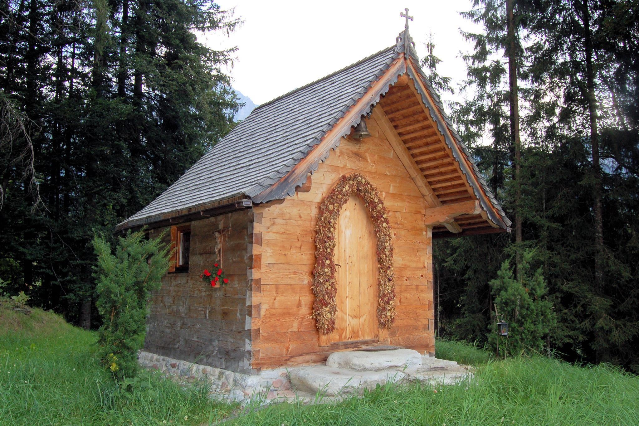
A chapel dedicated to St. John on the eastern edge of Going, a small stop on walks towards the east end of the Wilder Kaiser.
Bauernhausmuseum Hinterobernau
3.4 km away, in Kitzbühel
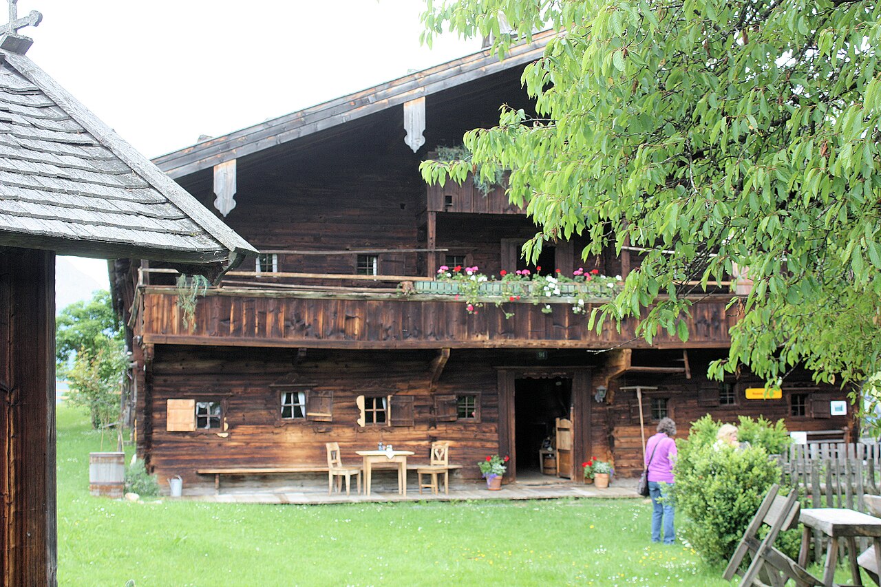
A farmhouse museum at Hinterobernau near Kitzbühel, preserving an old Tyrolean farm with its original rooms and tools.
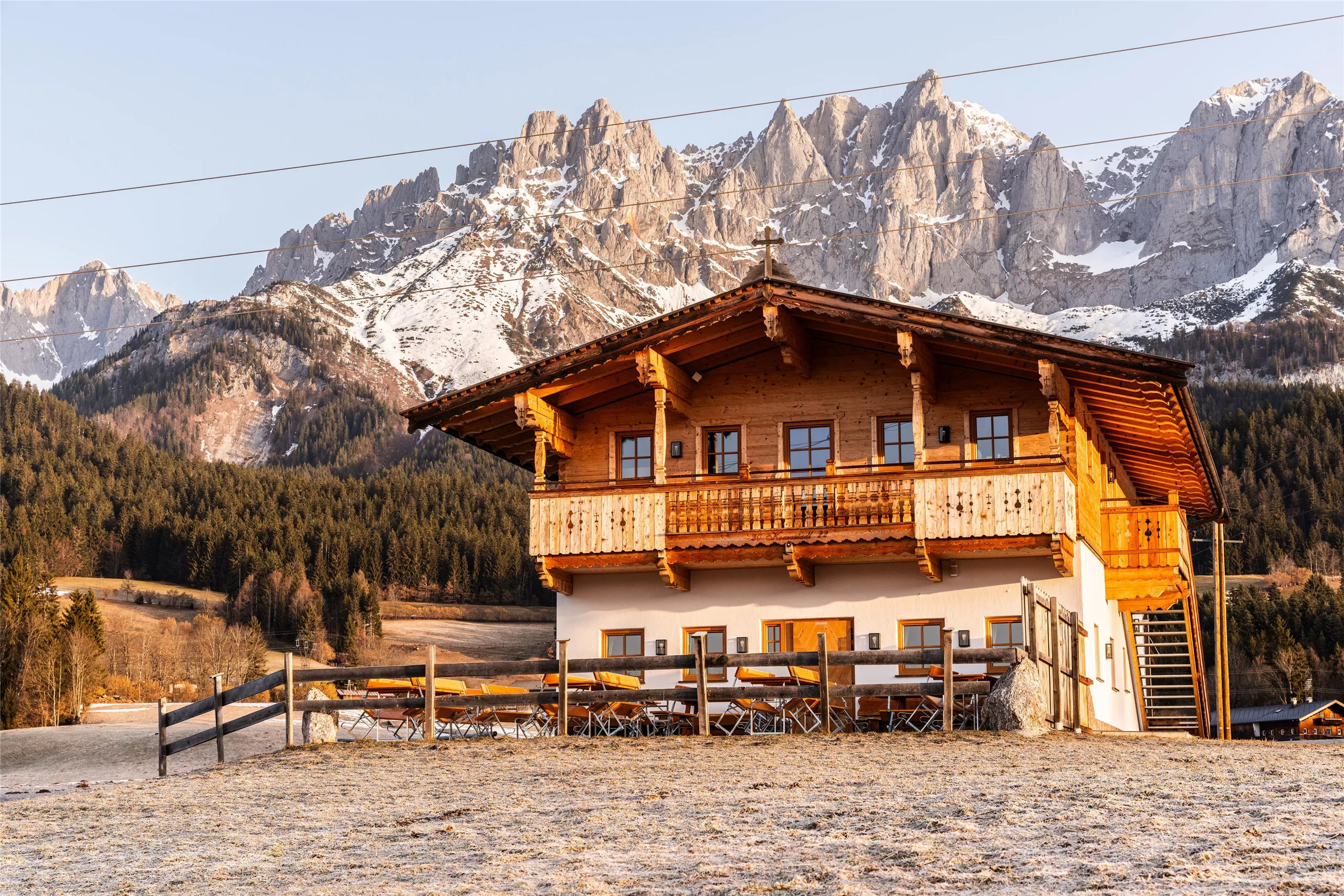
Koasastadl
3.5 km away, in Going am Wilden Kaiser
A hut east of Going whose name joins dialect 'Koasa' (Kaiser) with 'Stadl' (barn), a stop beneath the eastern end of the Wilder Kaiser.
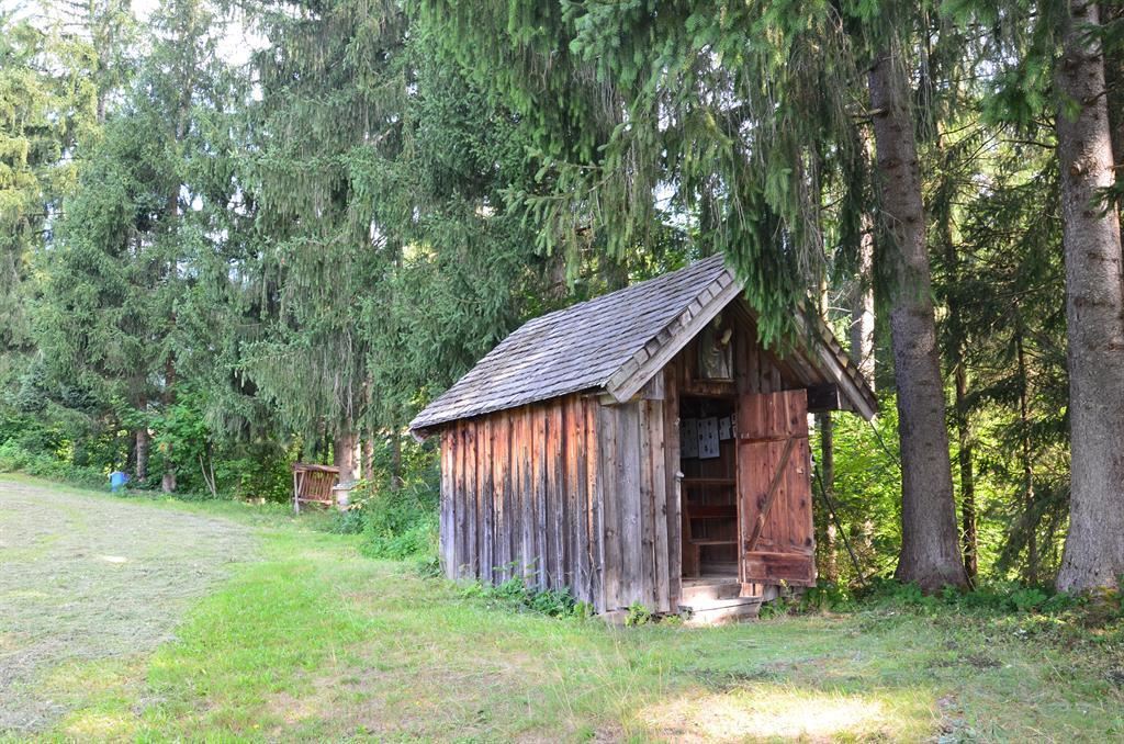
Hoadkapelle
3.9 km away, in Going am Wilden Kaiser
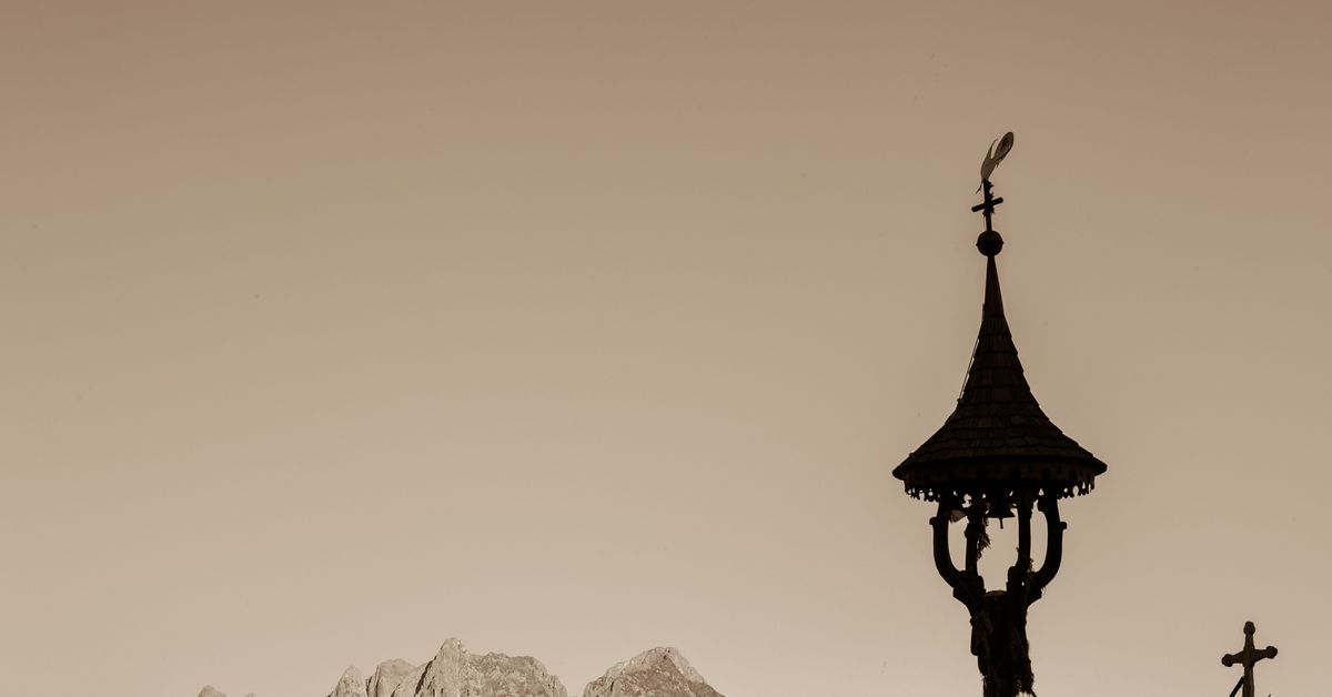
A small field chapel east of Going am Wilden Kaiser, standing among meadows with the Kaiser mountains behind.
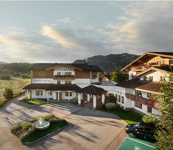
Lisi World
4 km away, in Reith bei Kitzbühel
A children's play area at the Lisi family hotel in Reith near Kitzbühel, with playground equipment for younger guests.
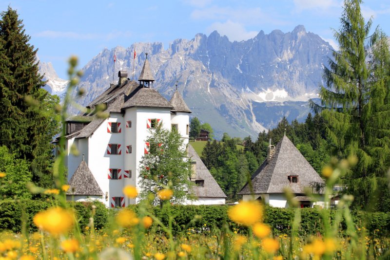
Schloss Münichau
4 km away, in Kitzbühel
A late-medieval castle near Reith bei Kitzbühel, preserved with thick walls and today run as a hotel and restaurant.
Moor & more Waldspielplatz
4 km away, in St. Johann in Tirol
A forest play area on the Moor & more nature trail near St. Johann in Tirol, with wooden play stations themed around the moorland.
Badesee Going
4 km away, in Going am Wilden Kaiser
A bathing lake at Going am Wilden Kaiser at 766 m, a summer swimming spot with playground and beach volleyball under the Kaiser walls.
Nothing of this kind in Oberndorf in Tirol.
Routes
50 routes, an even mix of activities · see the rest on kitzbueheler-alpen.com ↗
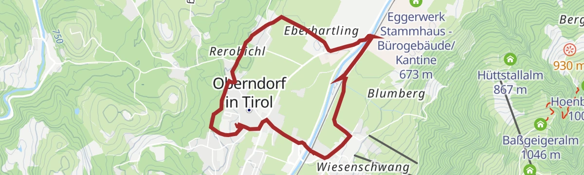
Alfons-Walde-Runde
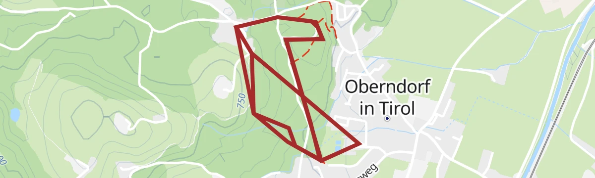
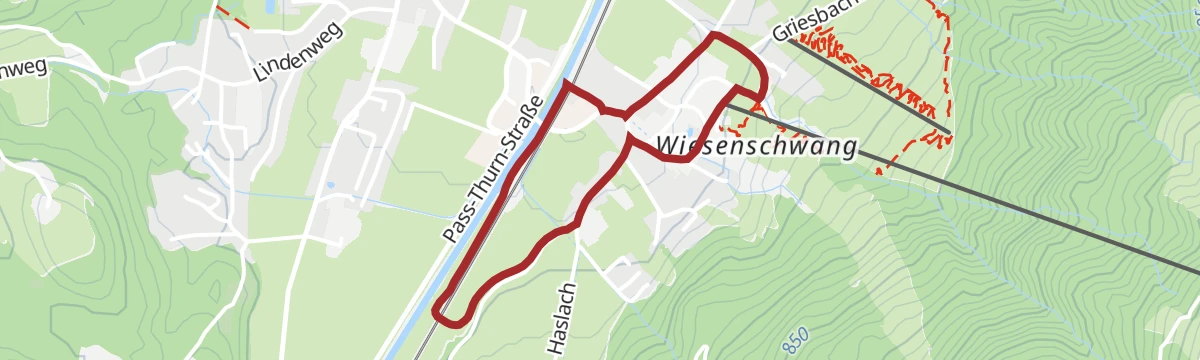
Short village round in Oberndorf dedicated to painter Alfons Walde, on level lanes past motifs from his Tyrolean winter scenes.
- 2.2 km
- Distance
- 33 m
- Ascent
- 36 min
- Duration
Hornweg
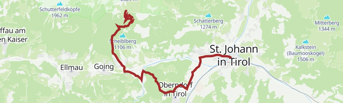
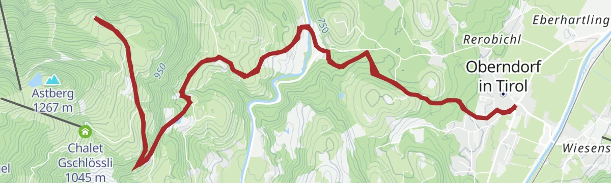
Traverse along the Kitzbüheler Horn's northern flank from Oberndorf, stringing together the Baßgeigeralm, Müllneralm and the small lake at the Angerer Alm.
- 13.6 km
- Distance
- 723 m
- Ascent
- 5 h 12 min
- Duration
- 23
- Check-ins
 Baßgeigeralm 1 046 m
- Müllneralm 1 140 m
- Koasaburg 1 199 m
- Sichelbuchalm 1 252 m
 Bergsee Angerer Alm 1 185 m
- Hornpark 1 192 m
- +1
Aufs Kitzbüheler Horn über den Almenweg in Oberndorf
Full-length ascent of the Kitzbüheler Horn from Oberndorf via the Almenweg, passing the Stanglalm before the final pull to the Gipfelhaus at 1,996 m.
- 9.4 km
- Distance
- 1 293 m
- Ascent
- 7 h 32 min
- Duration
- 73
- Check-ins
Pistengeher Route Bassgeigeralm
A short, beginner-friendly marked ascent beside the piste, ending at the alm hut at the top, where skiers can refuel before gliding back down the groomed slope.
- 2.6 km
- Distance
- 340 m
- Ascent
- 340 m
- Descent
- 1 h 12 min
- Duration
- 5
- Check-ins
Bichlach Runde
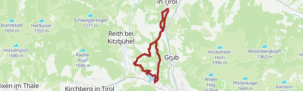
A loop over the Bichlach shelf, linking the Gieringer Weiher, the Schwarzsee and the Hasenbergweiher as it goes.
- 12.7 km
- Distance
- 360 m
- Ascent
- 1 h 28 min
- Duration
- 1
- Check-ins
- Gieringer Weiher 781 m
- Hasenbergweiher 777 m
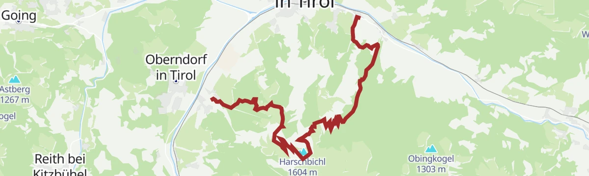
264 | Oberndorf Harschbichl
A steep forest-road climb of more than 900 m in 8 km, up past the Stanglalm to the mountain inn at 1,602 m.
- 8.3 km
- Distance
- 941 m
- Ascent
- 2 h 9 min
- Duration
- 31
- Check-ins
Gravel Grutten Runde MTB NR. 283
A short gravel loop on the valley tracks near Oberndorf in Tirol, with barely 250 m of climbing.
- 9.8 km
- Distance
- 244 m
- Ascent
- 1 h 6 min
- Duration
2. Etappe KAT Bike Sport+
The second stage of a multi-day route, with 3,435 m of climbing over the Hahnenkamm and Pengelstein past the Melkalm and Fleckalm.
- 74.4 km
- Distance
- 3 435 m
- Ascent
- 9 h 51 min
- Duration
- 158
- Check-ins
Dorfbachrunde Nr. 6
Easy loop along Oberndorf's village brook and surrounding meadows, a flat round handy from any guesthouse in the village.
- 5.3 km
- Distance
- 98 m
- Ascent
- 1 h 29 min
- Duration
Jakobsweg Tirol: St. Johann in Tirol - Ellmau
Stage of the Tyrolean Way of St James from St. Johann in Tirol to Ellmau, skirting the Wilder Kaiser's foot on quiet pilgrim paths via the Ellmauer Alm.
- 13.5 km
- Distance
- 265 m
- Ascent
- 3 h 48 min
- Duration
- 12
- Check-ins
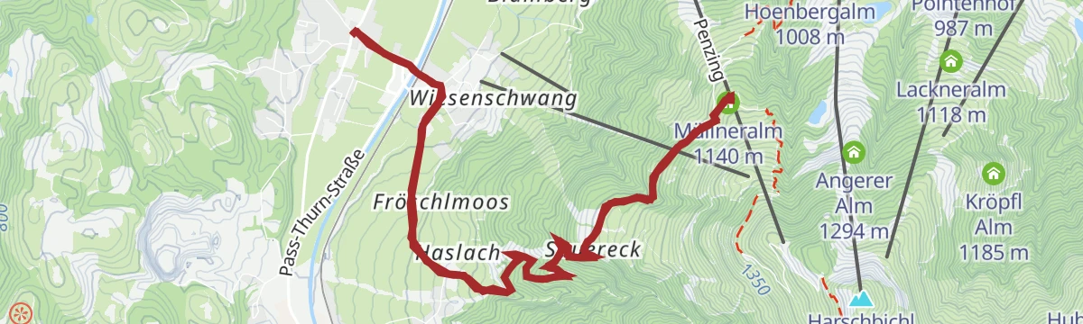
Müllneralm, Angerer Alm, Harschbichlalm, Stanglalm
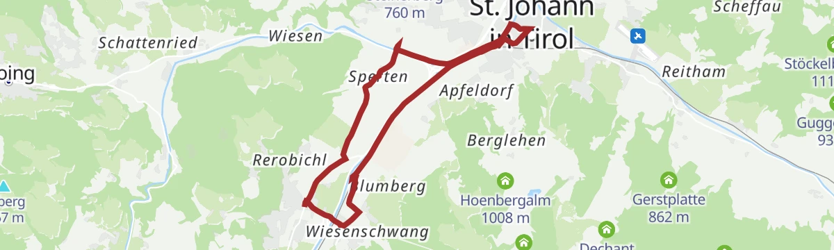
Big alm circuit from Wiesenschwang up the Harschbichl, calling at the Müllneralm, Stanglalm and the Angerer Alm with its small bergsee.
- 14.4 km
- Distance
- 930 m
- Ascent
- 6 h 19 min
- Duration
- 54
- Check-ins
Schleierwasserfall
A 15 km mountain-bike outing from St. Johann in Tirol, climbing some 600 m to the waterfall the route is named for.
- 15.0 km
- Distance
- 590 m
- Ascent
- 1 h 53 min
- Duration
- 1
- Check-ins
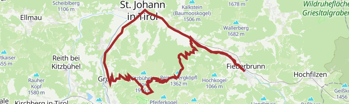
Raintal - Hornköpfl 254 - Kitzbühel 255 - St. Johann i.T. 20 - Fieberbrunn
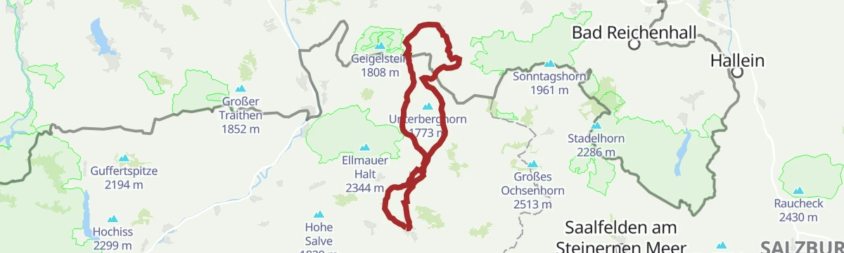
A long mountain-bike day up to the hut and reservoir above 1,700 m, returning past the Fritzhütte, the Trattalmen and the Obere Reintalalm.
- 47.3 km
- Distance
- 1 420 m
- Ascent
- 5 h 32 min
- Duration
- 19
- Check-ins
 Hornköpfl 1 773 m
- Hornköpflhütte 1 751 m
- Speicherteich Hornköpfl 1 706 m
- Fritzhütte 1 565 m
- Infobüro Fieberbrunn 774 m
- Tourismus Büro 659 m
- +11
3. Etappe KAT Bike Sport+
The third stage of a multi-day traverse of the Kitzbühel Alps, close to 3,000 m of climbing over the Wildalpgatterl, Lärchfilzhochalm and Stanglalm.
- 106.7 km
- Distance
- 2 992 m
- Ascent
- 12 h 18 min
- Duration
- 81
- Check-ins
Gruttenweg Nr. 4
Easy waymarked round from Oberndorf on the sunny side of the valley, on farm tracks with the Wilder Kaiser filling the northern skyline.
- 7.0 km
- Distance
- 210 m
- Ascent
- 2 h 10 min
- Duration
Wiesenschwang Berglaufrunde
Hill-running loop from Wiesenschwang above Oberndorf, climbing past the Baßgeigeralm and Müllneralm before a fast descent home.
- 10.7 km
- Distance
- 465 m
- Ascent
- 3 h 39 min
- Duration
- 9
- Check-ins
Koasa Trail Etappe 5
Stage five of the Koasa Trail: from the Eichenhof lifts near St. Johann over the Horn's shoulder past the Stanglalm and Müllneralm — a long finish with nearly 1,000 m of climbing.
- 14.0 km
- Distance
- 972 m
- Ascent
- 6 h 29 min
- Duration
- 13
- Check-ins
280 | Ums Bichlach
A circuit of the Bichlach plateau outside Kitzbühel, running past the Schwarzsee and the small Hasenbergweiher pond.
- 15.2 km
- Distance
- 345 m
- Ascent
- 1 h 40 min
- Duration
- Hasenbergweiher 777 m
Radwanderweg Wilder Kaiser Nr. 14
A waymarked route along the southern foot of the Wilder Kaiser, from the Inn valley at Bruckhäusl up to Ellmau at around 800 m.
- 38.1 km
- Distance
- 473 m
- Ascent
- 3 h 46 min
- Duration
- 17
- Check-ins
11 Rund um das Kitzbüheler Horn
A long road circuit right around the Horn, from the Glemmtal over the Pass Thurn and back through Kitzbühel on the way home.
- 115.9 km
- Distance
- 1 673 m
- Ascent
- 11 h 51 min
- Duration
- 56
- Check-ins
Laufrunde Bichlach
Gentle running loop through the Bichlach hills near Oberndorf, mixing forest tracks and meadow lanes with only modest climbs.
- 6.1 km
- Distance
- 229 m
- Ascent
- 1 h 59 min
- Duration
Von Oberndorf über den Römerweg nach Kitzbühel
Gentle valley walk from Oberndorf along the old Römerweg into Kitzbühel, an easy point-to-point with the Kaiser range at your back.
- 7.2 km
- Distance
- 152 m
- Ascent
- 2 h 3 min
- Duration
- 5
- Check-ins
Kitzbühel - The Legend
Long, mostly gentle circuit linking Kitzbühel's landmarks with the Bichlach ponds — Vogelsberg-Weiher and Hasenbergweiher — on the town's signature walking route.
- 15.1 km
- Distance
- 285 m
- Ascent
- 4 h 14 min
- Duration
- 5
- Check-ins
- Kitzbühel Tourismus 762 m
- Cafe Phoenix am Hornplatzl 762 m
- Vogelsberg-Weiher 770 m
- Hasenbergweiher 777 m
283 | Grutten Runde
A ten-kilometre circuit on farm and forest tracks in the Leukental at Oberndorf, with little climbing along the way.
- 9.9 km
- Distance
- 243 m
- Ascent
- 1 h 6 min
- Duration
MTB Nr. 254, 255 - Auf Gravel auf’s Kitzbüheler Horn (Kitzbüheler Horn über Raintal)
A long forest-road climb from St. Johann in Tirol by way of the Obere Reintalalm to the Hornköpflhütte at 1,751 m.
- 35.4 km
- Distance
- 1 262 m
- Ascent
- 4 h 20 min
- Duration
- 13
- Check-ins
- Hornköpflhütte 1 751 m
- Speicherteich Hornköpfl 1 706 m
- Fritzhütte 1 565 m
- Tourismus Büro 659 m
- Obere Reintalalm 1 564 m
- Trattalmen 1 562 m
- +9
MTB Nr. 264, 216 - Oberndorf Harschbichl
A long climb from the Leukental to the mountain inn at 1,602 m, passing the Dechant Alm and the Kröpfl Alm on the way up.
- 22.0 km
- Distance
- 979 m
- Ascent
- 2 h 53 min
- Duration
- 42
- Check-ins
Laufrunde Buchberg
Short, nearly flat running round over the Buchberg meadows at Oberndorf — a quick loop for easy training days.
- 5.4 km
- Distance
- 99 m
- Ascent
- 1 h 31 min
- Duration
Müllneralm Runde
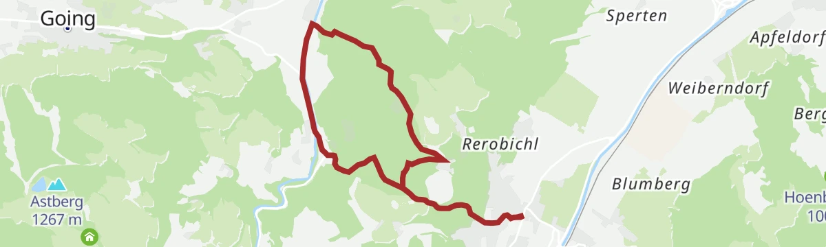
Moderate loop from Oberndorf to the Müllneralm on the Kitzbüheler Horn's flank, with a pasture stop before the descent through forest.
- 11.5 km
- Distance
- 491 m
- Ascent
- 3 h 55 min
- Duration
- 4
- Check-ins
Kalksteinradrunde
A long circuit from Going out to the Pillerseetal and back through Kalkstein, with the Fischteich ponds and Das Bergblick on the way.
- 66.9 km
- Distance
- 547 m
- Ascent
- 6 h 27 min
- Duration
- 11
- Check-ins
- Tourist Information Center 756 m
- Tourismusverband Pillerseetal 777 m
- Fischteich 835 m
- Das Bergblick 855 m
- Fischteich 835 m
- Moserbauer 754 m
- +2
02 - Rund um die Salve und den Kaiser
A long road loop out of Scheffau down to Kufstein and back through Hopfgarten, passing the Erlensee on the return.
- 95.3 km
- Distance
- 1 074 m
- Ascent
- 9 h 28 min
- Duration
- 34
- Check-ins
Laufrunde Oberndorf
Flat 5 km running loop around Oberndorf's valley floor, well suited to recovery runs and evening walks.
- 5.1 km
- Distance
- 39 m
- Ascent
- 1 h 18 min
- Duration
Bichlachrunde
Circuit through the pond-dotted Bichlach over the Rettenberg, passing the Gieringer Weiher, Vogelsberg-Weiher and Hasenbergweiher.
- 10.5 km
- Distance
- 336 m
- Ascent
- 3 h 17 min
- Duration
- 1
- Check-ins
- Rettenberg 876 m
- Gieringer Weiher 781 m
- Vogelsberg-Weiher 770 m
- Hasenbergweiher 777 m
Obere Regalm MTB - Tour 272 - Verlauf über Sperten
A climb through the Spertental to the Obere Regalm at 1,300 m above Oberndorf.
- 16.1 km
- Distance
- 788 m
- Ascent
- 2 h 12 min
- Duration
- 8
- Check-ins
8 Rund um den Wilden Kaiser
A long road circuit of the Wilder Kaiser from Ellmau, running out to Walchsee and back by way of Kitzbühel and the Ellmauer Alm.
- 87.9 km
- Distance
- 1 199 m
- Ascent
- 8 h 56 min
- Duration
- 31
- Check-ins
Orienteering Blau
Beginner orienteering course from the Bichlachbad at Oberndorf — find the control points on gentle terrain around the pool and nearby woods.
- 4.5 km
- Distance
- 95 m
- Ascent
- 1 h 18 min
- Duration
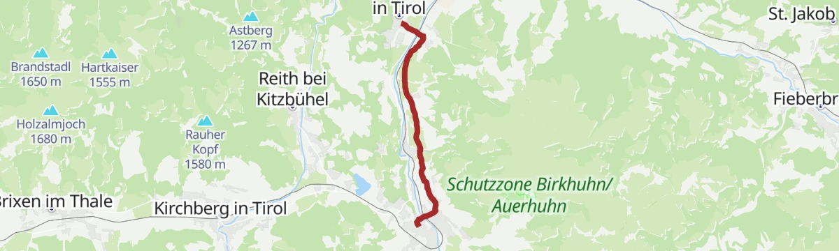
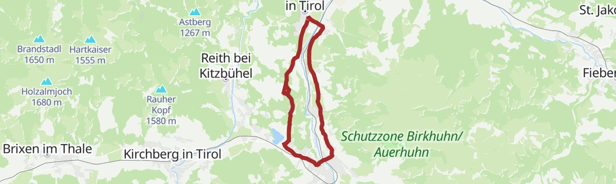
Von Oberndorf nach St. Johann in Tirol - ein ganzjährig lohnender Rundweg
Year-round valley circuit linking Oberndorf and St. Johann in Tirol on riverside and meadow paths, with barely any climbing all the way round.
- 10.5 km
- Distance
- 43 m
- Ascent
- 2 h 33 min
- Duration
- 1
- Check-ins
CR1 | Americano | St. Johann Flugplatz
A rolling tour from the airfield in the Leukental down to Kitzbühel, returning past the Schwarzsee and its photo point.
- 33.5 km
- Distance
- 445 m
- Ascent
- 3 h 23 min
- Duration
- 7
- Check-ins
12 Kleine Bayern-Runde
A ninety-five-kilometre road loop out of Kitzbühel that dips across the Bavarian border, returning by Klobenstein and the Kohlentalmühle.
- 95.3 km
- Distance
- 1 302 m
- Ascent
- 9 h 41 min
- Duration
- 28
- Check-ins
Orienteering Rot
Intermediate orienteering course above the Bichlachbad in Oberndorf, with control points spread over steeper wooded slopes.
- 6.4 km
- Distance
- 140 m
- Ascent
- 1 h 51 min
- Duration
Von Oberndorf zum Hollenauerkreuz
Long, steady walk from Oberndorf to the Jausenstation Hollenauer Kreuz on the ridge above Reith, with valley views for most of the way.
- 14.2 km
- Distance
- 509 m
- Ascent
- 4 h 36 min
- Duration
- 1
- Check-ins
CR3 | Cappucino | Bichlhof
A mid-length coffee ride from Kitzbühel by way of the Schwarzsee to Oberndorf in Tirol, with the Bichlhof as the halt.
- 21.0 km
- Distance
- 332 m
- Ascent
- 2 h 10 min
- Duration
- 6
- Check-ins
Kaiserradrunde
An eighty-five-kilometre circuit of the Wilder Kaiser on cycle paths and quiet roads, passing Ellmau and the villages on each side of the range.
- 85.5 km
- Distance
- 1 116 m
- Ascent
- 8 h 38 min
- Duration
- 28
- Check-ins
Orienteering Schwarz
The most demanding of Oberndorf's orienteering courses — 255 m of climb while hunting controls in the Bichlach forest.
- 9.5 km
- Distance
- 255 m
- Ascent
- 2 h 51 min
- Duration
Zum Schwarzsee - der Wanderweg übers ganze Jahr
Year-round route from Kitzbühel to the moor lake Schwarzsee, looping through the Bichlach with stops at the Gieringer Weiher and Hasenbergweiher.
- 14.5 km
- Distance
- 351 m
- Ascent
- 4 h 16 min
- Duration
- 1
- Check-ins
- Gieringer Weiher 781 m
- Hasenbergweiher 777 m
Bichlach-Seen-Radrunde
A long tour of the Bichlach lakes from Going, passing the Schwarzsee and the Hasenbergweiher and reaching Oberndorf in Tirol.
- 40.1 km
- Distance
- 465 m
- Ascent
- 3 h 60 min
- Duration
- 5
- Check-ins
- Tourist Information Center 756 m
- Tourismus Büro 659 m
- Hasenbergweiher 777 m
Rund um die Hohe Salve Grand Tour
The long version of the loop around the Salve massif, taking in Ellmau and the villages of the Brixental over more than 80 km.
- 84.8 km
- Distance
- 1 044 m
- Ascent
- 8 h 31 min
- Duration
- 28
- Check-ins
River Beach Runde
Short level loop from Wiesenschwang near Oberndorf to a gravelly river beach on the Ache, an easy round with a summer swimming spot.
- 2.6 km
- Distance
- 27 m
- Ascent
- 40 min
- Duration
Lindernrunde 5
Rolling loop through the Lindern area of Oberndorf on farm lanes, a quiet round between hay meadows and the forest edge.
- 7.7 km
- Distance
- 197 m
- Ascent
- 2 h 18 min
- Duration
T2 | Kaiserradrunde
A signposted long-distance loop around the Kaisergebirge, running through Ellmau and the neighbouring villages on mostly gentle terrain.
- 85.3 km
- Distance
- 1 131 m
- Ascent
- 8 h 38 min
- Duration
- 28
- Check-ins
Yappys Rätselweg in Oberndorf
Children's puzzle trail at Oberndorf where riddle stations lead from the village to the Bichlachbad — an easy hour for young families.
- 3.5 km
- Distance
- 63 m
- Ascent
- 59 min
- Duration
No routes of this kind in Oberndorf in Tirol yet.
The region's own picks

Featured route
Alfons-Walde-Runde
Short village round in Oberndorf dedicated to painter Alfons Walde, on level lanes past motifs from his Tyrolean winter scenes.
Planning a trip to Oberndorf in Tirol?
Everything else Tyrol has, in one place


Take Oberndorf in Tirol with you into the mountains
Every route on this page with 3D terrain, GPX navigation and offline maps — including the valleys with no signal.
Data sources
- Official website: kitzbueheler-alpen.com ↗
- Routes and highlights: Kitzbüheler Alpen Tourismus, Kitzbühel Tourismus, Wilder Kaiser Tourismus, Kufsteinerland
- Published as open data by the tourist boards named above.
- Region summary generated from the board's own material.
