
 Historic site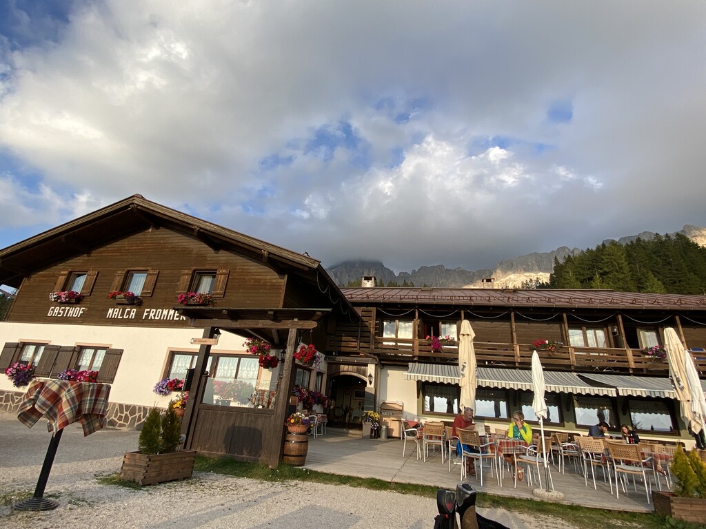









Curated by Sterzing, Pfitsch und Freienfeld
Nova Ponente/Deutschnofen
A plateau village between Bolzano and the Latemar, with Castel Thurn and the paths towards Obereggen.
- 5Highlights
- 26Routes
- Featured summit · Cimon del Latemar
Highlights
10 from neighbouring places
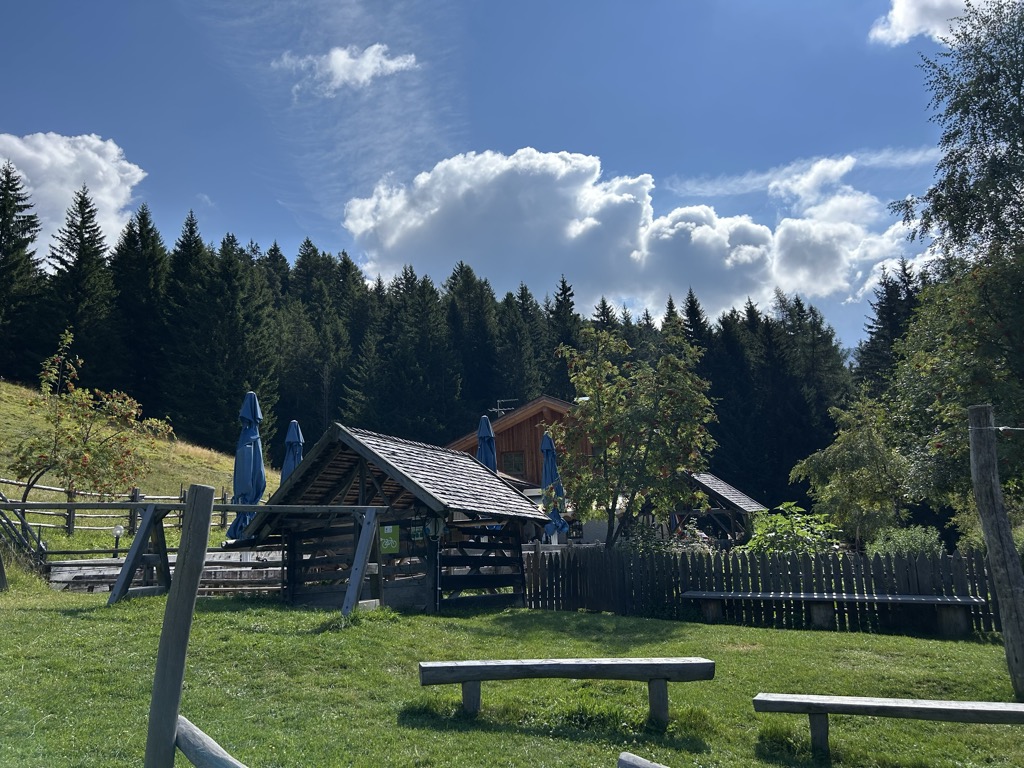
Malga Costa
A dairy hut on the Costa pastures above Nova Ponente, in the Val d'Ega below the Latemar.
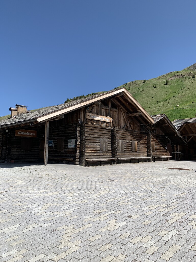
Sterzing, Pfitsch und FreienfeldMalga Ganischger – The Mountain Party
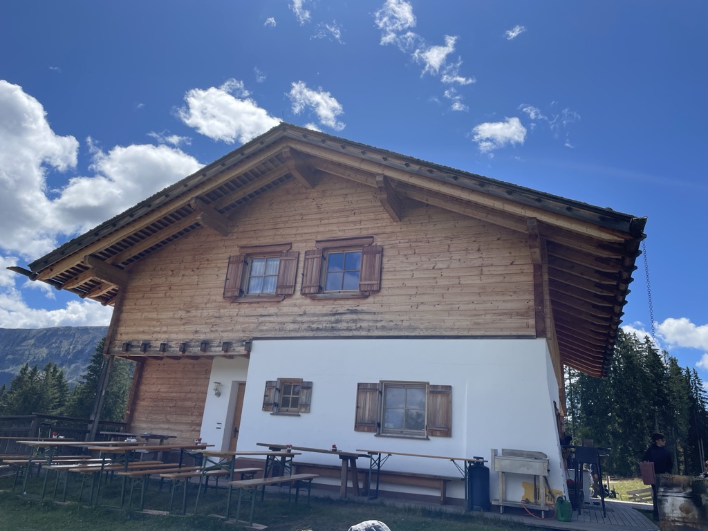
A dairy hut on the pastures above Nova Ponente, near Obereggen at the foot of the Latemar.
Malga Laab
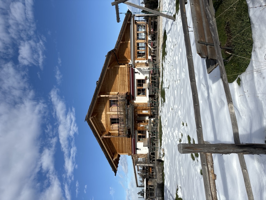
A working dairy on the Laab pastures above Nova Ponente, in the woods and meadows of the Val d'Ega.
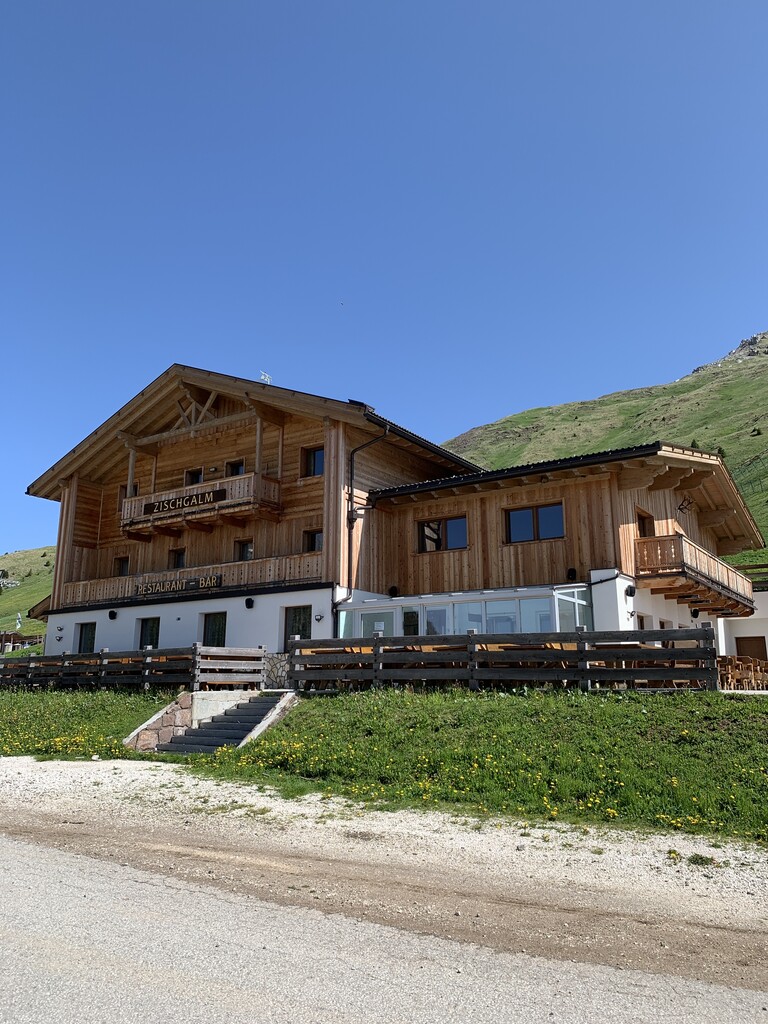
Malga Zischgalm
A pasture hut above Nova Ponente, reached on foot from the Obereggen side of the Val d'Ega.
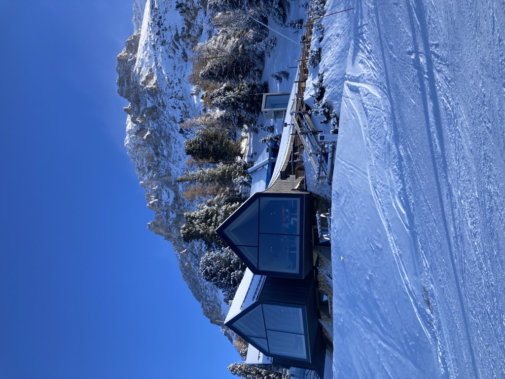
Rifugio Oberholz
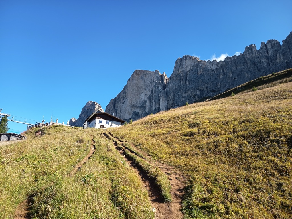
A timber-and-glass mountain hut above Obereggen, at the top of the chairlift below the Latemar, in the comune of Nova Ponente.
Malga Lahner
4.4 km away, in Aldino/Aldein
A dairy hut on the Lahner pastures above Aldino, reached by the forest road that climbs from the village toward the Corno Bianco.
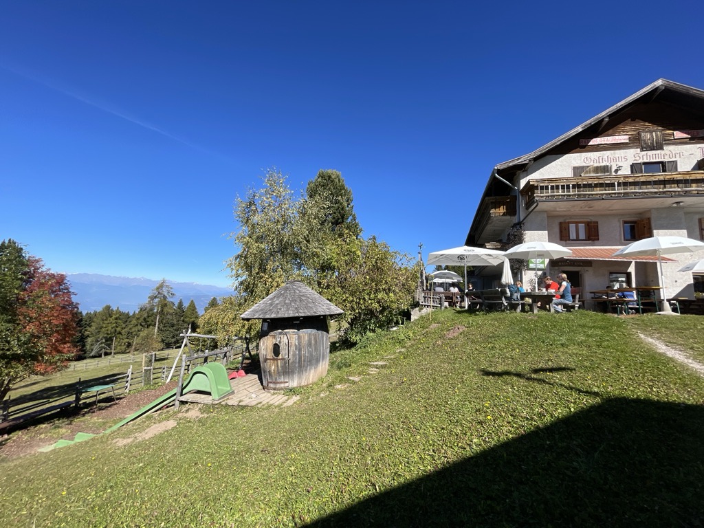
Albergo Schmiederalm
4.7 km away, in Aldino/Aldein
A pasture inn above Aldino, on the high Regglberg plateau between the Bletterbach gorge and the road to the Passo Oclini.
Malga Ristoro Isi
6.6 km away, in Aldino/Aldein
A pasture restaurant above Aldino, in the meadows of the Regglberg plateau below the Corno Bianco, near the Passo Oclini road.
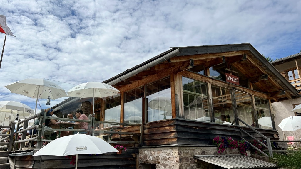
Sterzing, Pfitsch und FreienfeldMalga ISI
6.6 km away, in Aldino/Aldein
A dairy hut turned mountain restaurant above Aldino, on the Regglberg pastures below the Corno Bianco.
Mini - Sentiero delle Stelle a Collepietra
9.1 km away, in Cornedo all'Isarco/Karneid
A short themed walk on the planets at Collepietra, the star village above the Val d'Ega, beside the local planetarium.
Albergo Malga Frommer
12.2 km away, in Nova Levante/Welschnofen
A dairy hut with rooms on the Frommer pastures above Nova Levante, in the Val d'Ega between the Catinaccio and the Latemar.
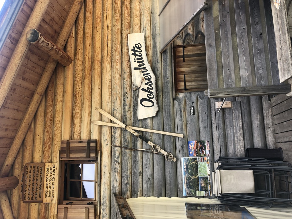
Malga Ochsenhütte
12.4 km away, in Nova Levante/Welschnofen
A pasture hut in the woods above Nova Levante, in the Val d'Ega.
Sterzing, Pfitsch und FreienfeldBaita Gardoné – The Mountain Riviera
12.6 km away, in Predazzo
A baita on the Gardonè shelf above Predazzo, at the foot of the Latemar and reached by the cable car from the valley.
Rifugio Paolina
13.3 km away, in San Giovanni di Fassa-Sèn Jan
A hut at 2,125 m in the Carezza area below the Roda di Vael, with a wide terrace and a stage of the Dolomites World Heritage Geotrail passing by.
Lago di Caldaro
14 km away, in Caldaro sulla strada del vino/Kaltern an der Weinstraße
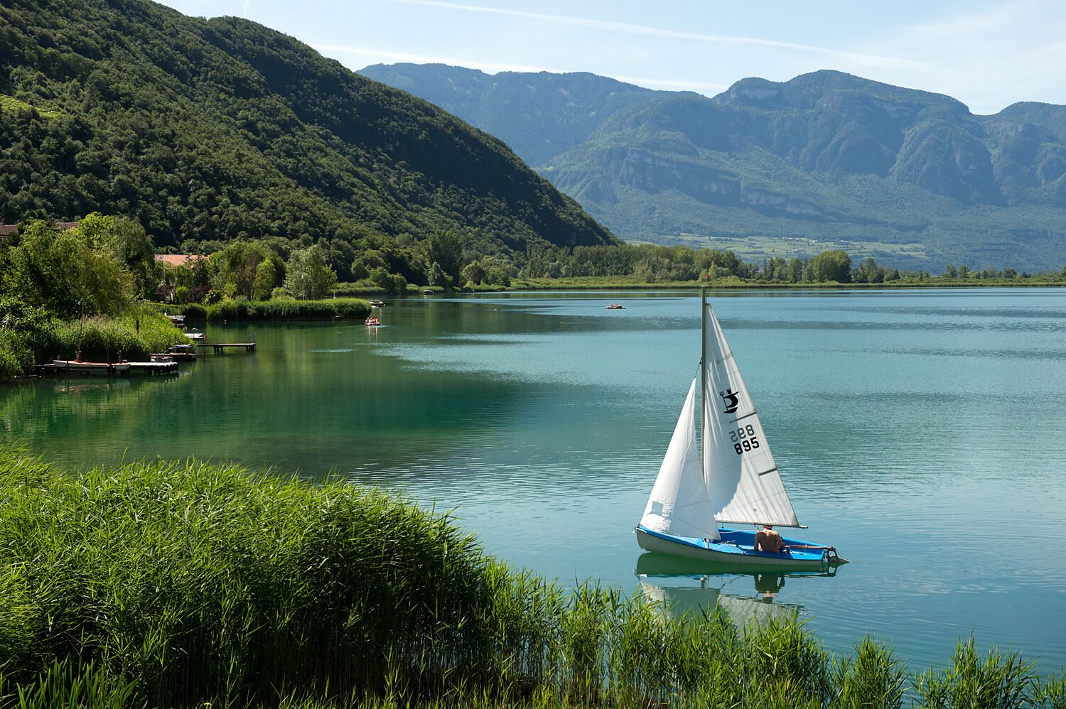
The warmest bathing lake in the Alps, in the vineyards below the Mendola ridge south of Bolzano.
Nothing of this kind in Nova Ponente/Deutschnofen.
Routes
Via Ferrata Campanili
A long day among the Latemar towers, deep in the group, with Lake Carezza and the Catinaccio framed between the rock spires; endurance is needed.
- 15.2 km
- Distance
- 1 253 m
- Ascent
- 10 h 13 min
- Duration
- 253
- Check-ins
 Cima Valbona 2 683 m
 Baita Passo Feudo Hütte 2 170 m
- Rifugio Torre di Pisa 2 671 m
- Baita della Scofa 2 006 m
 Forcella Grande del Latenar - Große Latemarscharte 2 650 m
- Bivacco Mario Rigatti 2 620 m
- +2
Open route APT Fiemme CembraVia ferrata Campanili del Latemar
A long alpine day with a ferrata among the Latemar towers, crossing the rocky heart of the group with the surrounding Dolomite ranges in view.
- 15.1 km
- Distance
- 1 114 m
- Ascent
- 9 h 24 min
- Duration
- 226
- Check-ins
- Cima Valbona 2 683 m
- Cimon del Latemar 2 842 m
- Oberholz Hütte 2 074 m
- Rifugio Torre di Pisa 2 671 m
- Gamsstallscharte - Forcella dei Camosci 2 632 m
- Forcella Grande del Latenar - Große Latemarscharte 2 650 m
- +3
Open route Sterzing, Pfitsch und FreienfeldLatemar.Alp
A high pasture walk below the Latemar with interpretation panels and games along the way.
- 6.3 km
- Distance
- 193 m
- Ascent
- 1 h 57 min
- Duration
- 168
- Check-ins
- Baita della Scofa 2 006 m
- Ganischger Alm 2 017 m
- Reiterjoch - Passo di Pampeago 1 983 m
- Epircher Laner Alm - Malga Epircher Laner 1 825 m
- Toler Hütte - Rifugio Toller 1 956 m
- Weigler Schupf 1 949 m
Open route APT Fiemme CembraLatemar Panorama
From the Oberholz chairlift, trail 18 to the Latemar.360 platform and Passo Feudo under the Latemar walls, returning over the Reiterjoch meadows by the Zischg Alm.
- 7.8 km
- Distance
- 391 m
- Ascent
- 2 h 51 min
- Duration
- 284
- Check-ins
- Baita Passo Feudo Hütte 2 170 m
- Oberholz Hütte 2 074 m
- Baita della Scofa 2 006 m
- Ganischger Alm 2 017 m
- Reiterjoch - Passo di Pampeago 1 983 m
- Toler Hütte - Rifugio Toller 1 956 m
- +1
Open route Südtirols SüdenOclini - Pietralba
A long walk through forest from the Passo Oclini to the sanctuary of Pietralba, one of the oldest places of pilgrimage in South Tyrol.
- 17.1 km
- Distance
- 554 m
- Ascent
- 5 h 22 min
- Duration
- 97
- Check-ins
- Jochgrimm - Passo Oclini 1 989 m
- Berghotel Jochgrimm 1 993 m
- Petersberger Leger Alm - Malga Monte San Pietro 1 531 m
- Neuhütt 1 789 m
- Hotel Pietralba 1 531 m
Open route Aldein RadeinHike & Bike | Obereggen - Re Laurin Tour
An e-bike and cable-car tour from Obereggen to Nova Levante, reaching the Rifugio Paolina and the Kölner Hütte above the Karer See.
- 36.4 km
- Distance
- 2 109 m
- Ascent
- 5 h 52 min
- Duration
- 549
- Check-ins
- Kuregg - Monte Coronelle 2 016 m
- Rifugio Paolina 2 125 m
 Karer See - Lago di Carezza 1 533 m
- Kölner Hütte - Rifugio Fronza alle Coronelle 2 337 m
- Bar & Imbiss Kareesee 1 559 m
- Laurin's Lounge 2 332 m
- +10
Open route Sterzing, Pfitsch und FreienfeldPozza di Fassa - Tesero - Pampeago Pass - Ponte Nova - Costalunga/Carezza Pass - Pozza di Fassa
A road loop south to Tesero, then the hard climb to Pampeago and back over the Passo di Costalunga by the Karer See.
- 72.7 km
- Distance
- 2 083 m
- Ascent
- 8 h 25 min
- Duration
- 857
- Check-ins
- Karer See - Lago di Carezza 1 533 m
- Passo di Costalunga - Karerpass 1 745 m
- Bar & Imbiss Kareesee 1 559 m
- Antermont 1 759 m
- Baita della Scofa 2 006 m
- Zischgalm 2 010 m
- +31
Open route APT Val di FassaLavazé - Malga Costa
A near-level walk across the Lavazè meadows to Malga Costa, a hut at 1,750 m beside a pond, with the Latemar and Catinaccio in view.
- 4.9 km
- Distance
- 61 m
- Ascent
- 1 h 18 min
- Duration
- 56
- Check-ins
Open route Aldein RadeinStroller walk in Pampeago
A pushchair-friendly walk at Pampeago below the Latemar, high enough for long views over the Fiemme valley.
- 9.3 km
- Distance
- 351 m
- Ascent
- 3 h 2 min
- Duration
- 237
- Check-ins
- Baita della Scofa 2 006 m
- Zischgalm 2 010 m
- Ganischger Alm 2 017 m
- Reiterjoch - Passo di Pampeago 1 983 m
- Ski Bar 1 761 m
- Sport Hotel Pampeago 1 758 m
- +2
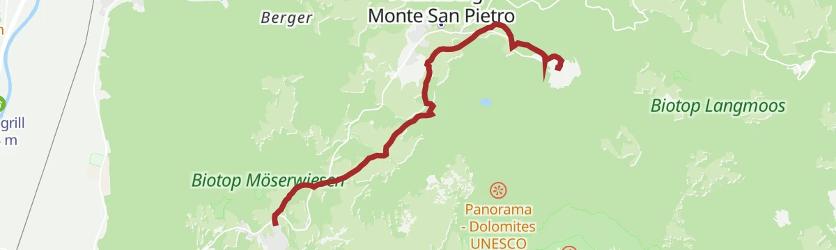
Open route APT Fiemme CembraJenesien
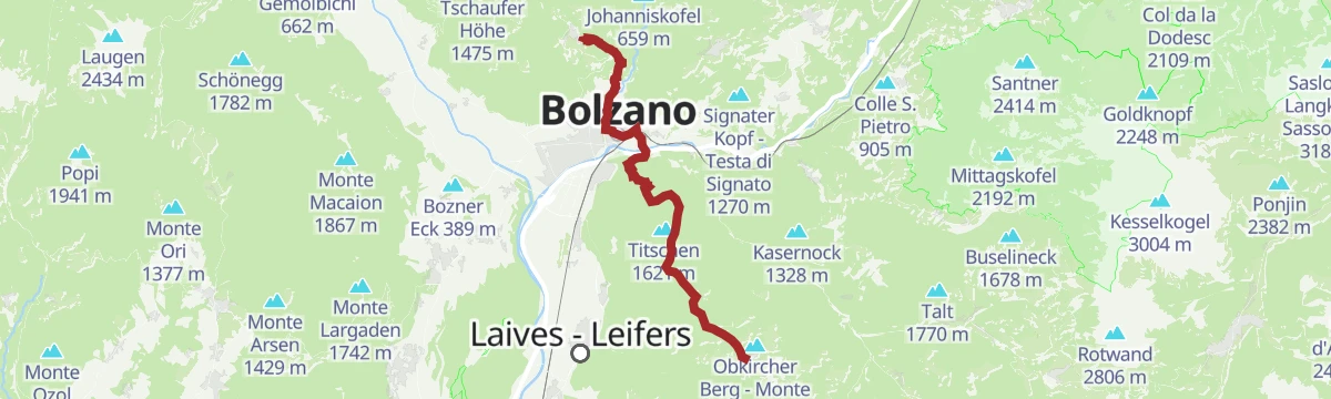
A long stage from Jenesien down through Bozen and up to Kohlern, then across the Regglberg plateau to Deutschnofen, facing the Dolomites.
- 23.7 km
- Distance
- 1 340 m
- Ascent
- 8 h 54 min
- Duration
- 29
- Check-ins
Scenic Trails of Deutschnofen/Nova Ponente: A Cyclist’s Dream
A loop over the high, sunlit Deutschnofen/Nova Ponente plateau, from the Kohlern/Colle cable car past the Pollenweiher pond.
- 34.8 km
- Distance
- 858 m
- Ascent
- 4 h 12 min
- Duration
- 18
- Check-ins
- Gasthaus Kohlern 1 117 m
- Associazione Turistica Val d'Ega - Tourismusverein Eggental 1 363 m
- Wölflhof 1 294 m
- Brunner 1 403 m
- Gasthaus Koflerhof 632 m
- Pollenweiher 1 383 m
- +1
Open route Südtirols SüdenLatemar Tour
A long road circuit of the Latemar, over the Passo di Costalunga past the Lago di Carezza and back across the Passo di Lavazè.
- 74.4 km
- Distance
- 2 039 m
- Ascent
- 8 h 31 min
- Duration
- 603
- Check-ins
- Karer See - Lago di Carezza 1 533 m
- Passo di Costalunga - Karerpass 1 745 m
- Bar & Imbiss Kareesee 1 559 m
- Antermont 1 759 m
- Passo di Lavazè 1 807 m
- GolfHotel 1 754 m
- +24
Open route APT Fiemme CembraTorre di Pisa mountain hut
A climb into the Latemar, a fossil atoll off a tropical sea where ammonites and shells sit in the rock, to the hut below the Torre di Pisa.
- 9.0 km
- Distance
- 828 m
- Ascent
- 5 h 11 min
- Duration
- 210
- Check-ins
- Cima Valbona 2 683 m
- Baita Passo Feudo Hütte 2 170 m
- Rifugio Torre di Pisa 2 671 m
- Gamsstallscharte - Forcella dei Camosci 2 632 m
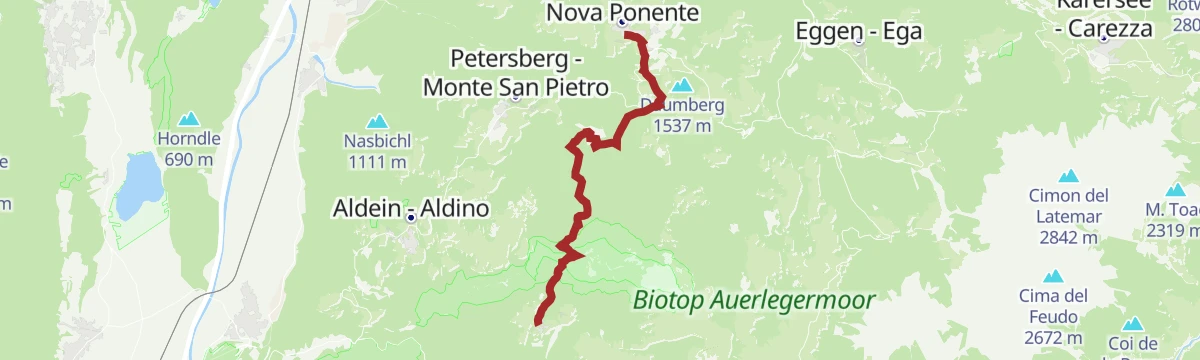
Open route APT Fiemme CembraAttraverso la Vallarsa fino a Nova Ponente
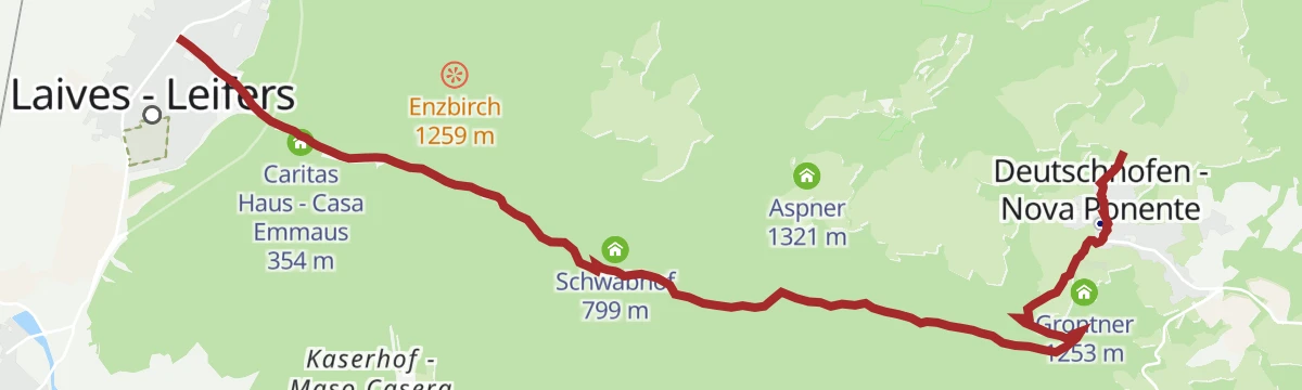
A long climb out of Laives, following the Vallarsa upstream and gaining well over a thousand metres to the village of Deutschnofen.
- 10.0 km
- Distance
- 1 231 m
- Ascent
- 5 h 3 min
- Duration
- 13
- Check-ins
- Associazione Turistica Val d'Ega - Tourismusverein Eggental 1 363 m
- Caritas Haus - Casa Emmaus 354 m
- Schwabmühl 676 m
- Panoramahotel Obkircher 1 465 m
- Schüpfler 1 249 m
- Hackl 1 075 m
- +1
Open route Sterzing, Pfitsch und FreienfeldGravel Tour - Latemar and Lake Carezza
A gravel loop from Predazzo over the Reiterjoch and on to the Passo di Costalunga, passing Ganischger Alm and the fir-ringed lake below the Latemar.
- 57.1 km
- Distance
- 1 597 m
- Ascent
- 6 h 34 min
- Duration
- 526
- Check-ins
- Passo di Costalunga - Karerpass 1 745 m
- Antermont 1 759 m
- Baita della Scofa 2 006 m
- Zischgalm 2 010 m
- Ganischger Alm 2 017 m
- GolfHotel 1 754 m
- +18
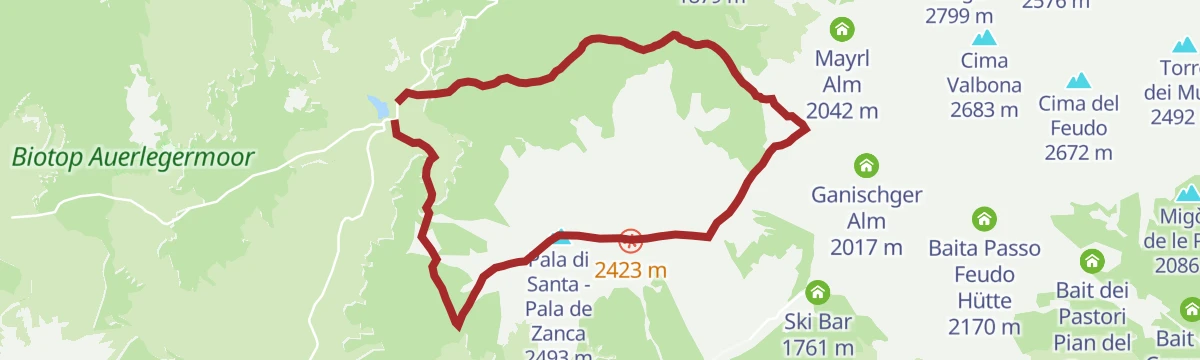
Open route APT Fiemme CembraPala di Santa: a tour between Lavazè and Pampeago
From the open Lavaze plateau through fir and pine to a broad ridge of volcanic rock and sheep pasture, up to the summit cross, then down the pistes to Pampeago.
- 10.6 km
- Distance
- 772 m
- Ascent
- 5 h 5 min
- Duration
- 79
- Check-ins
- Pala di Santa - Pala de Zanca 2 493 m
- Passo di Lavazè 1 807 m
- Reiterjoch - Passo di Pampeago 1 983 m
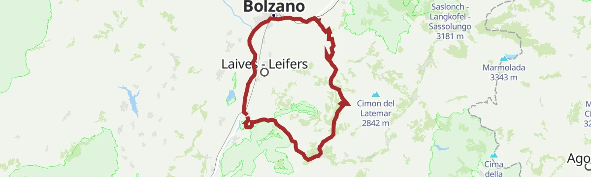
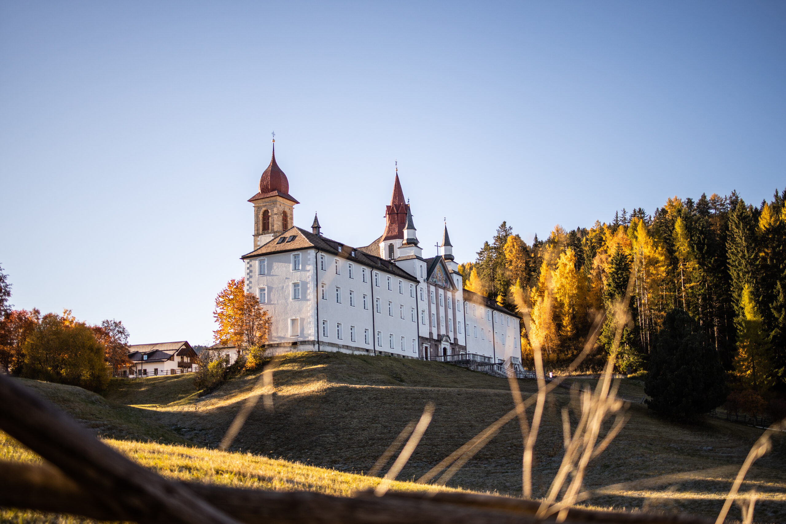
Open route APT Fiemme CembraDa Laives al Santuario Madonna di Pietralba
A demanding pilgrim climb up from Laives, following the fourteen stations of the Way of the Cross to the sanctuary at Pietralba.
- 9.3 km
- Distance
- 1 255 m
- Ascent
- 5 h 1 min
- Duration
- 7
- Check-ins
Open route Sterzing, Pfitsch und FreienfeldTour Pampeago - Passo Lavazè
Two hard road climbs in one loop out of Tesero, topping out at the Reiterjoch at 1,983 m and again on the Lavazè plateau.
- 40.3 km
- Distance
- 1 580 m
- Ascent
- 5 h 4 min
- Duration
- 343
- Check-ins
- Baita della Scofa 2 006 m
- Zischgalm 2 010 m
- Passo di Lavazè 1 807 m
- Ganischger Alm 2 017 m
- Reiterjoch - Passo di Pampeago 1 983 m
- Ski Bar 1 761 m
- +14
Open route APT Fiemme CembraFrom Aldino to Pietralba
A high pasture walk above Aldein on the Regglberg to the pilgrimage church of Maria Weißenstein, on gentle paths past hay huts and open larch and spruce woods.
- 8.2 km
- Distance
- 592 m
- Ascent
- 3 h 9 min
- Duration
- 23
- Check-ins
- Schmieder Alm - Malga Schmieder 1 680 m
- Schönrast Alm - Malga Bel Riposo 1 695 m
- Fin 1 239 m
- Hotel Leonhard 1 521 m
- Hotel Pietralba 1 531 m
- Gasthaus Schlögler 1 459 m
Open route Südtirols SüdenRoad Bike Adventure to Lavazé Joch: Steep Passes and Breathtaking Views
A hard road climb from the Adige floor at Auer to the Passo di Lavazè, taking the San Lugano saddle on the way.
- 94.1 km
- Distance
- 2 374 m
- Ascent
- 10 h 35 min
- Duration
- 240
- Check-ins
- Passo di Lavazè 1 807 m
- Mila Bistro 282 m
- Kampill Center 270 m
- Hiasele 312 m
- Agrocenter Bozen OHG 296 m
- Passo di San Lugano - San-Lugano-Sattel 1 097 m
- +25
Open route Südtirols SüdenDeutschnofen
A stage from Deutschnofen to remote Oberradein, taking in the pilgrimage church of Maria Weißenstein, the Eggental and the Bletterbach gorge.
- 12.4 km
- Distance
- 572 m
- Ascent
- 4 h 8 min
- Duration
- 10
- Check-ins
Gravel route - Lavazè Plateau and Butterloch
A dirt-road loop over Jochgrimm - Passo Oclini at nearly 2,000 m, past Malga Varena and Malga Ora on tracks through pasture and pine wood.
- 42.5 km
- Distance
- 1 028 m
- Ascent
- 4 h 44 min
- Duration
- 170
- Check-ins
- Guggenbichl 1 866 m
- Jochgrimm - Passo Oclini 1 989 m
- Passo di Lavazè 1 807 m
- Berghotel Jochgrimm 1 993 m
- Auerleger Alm - Malga Ora 1 877 m
- Malga Varena 1 833 m
- +5
Open route APT Fiemme CembraAldein-Petersberg-Way of Reflection to Maria Weißenstein
A pilgrims' walk from Aldein by way of Petersberg to the sanctuary of Maria Weißenstein, one of the region's chief places of pilgrimage.
- 7.8 km
- Distance
- 333 m
- Ascent
- 2 h 22 min
- Duration
- 4
- Check-ins
Open route Südtirols SüdenSantuario di Pietralba
A big road day from the Fiemme valley over the Passo di Lavazè and the Passo di Pramadiccio to the sanctuary above Aldino.
- 59.4 km
- Distance
- 1 701 m
- Ascent
- 6 h 53 min
- Duration
- 93
- Check-ins
- Passo di Lavazè 1 807 m
- Cappella della Beata Vergine del Rosario della nuova Pompei 985 m
- Hotel Erica 1 224 m
- Al Ponte - Brückenwirt 764 m
- Lago di Lavazè 1 805 m
- Passo di Pramadiccio 1 431 m
- +10
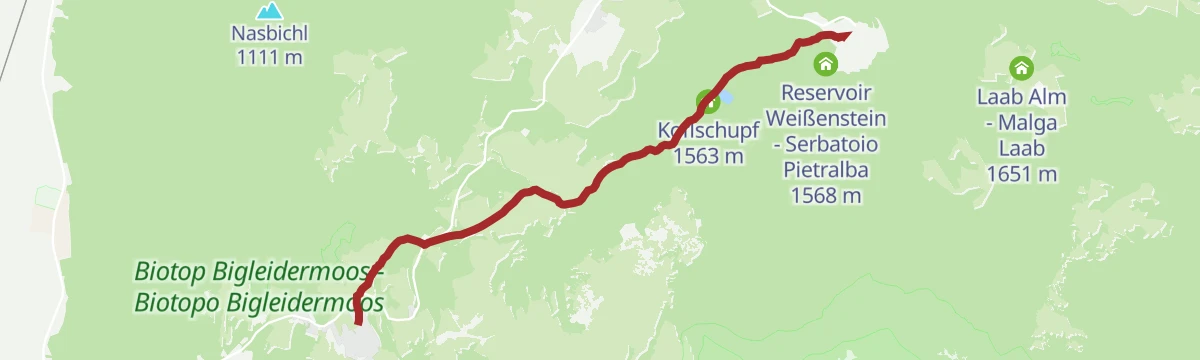
Open route APT Fiemme CembraPilgerweg von Aldein — Gampen nach Weißenstein
A pilgrim path from the church in Aldein, passing stations of the cross through meadows and woods on the way to the sanctuary of Pietralba.
- 6.2 km
- Distance
- 404 m
- Ascent
- 2 h 9 min
- Duration
- 4
- Check-ins
- Hotel Pietralba 1 531 m
- Bewässerungsweiher Aldein - Stagno d'irrigazione Aldino 1 562 m
- Wollerschupf 1 541 m
- Koflschupf 1 563 m
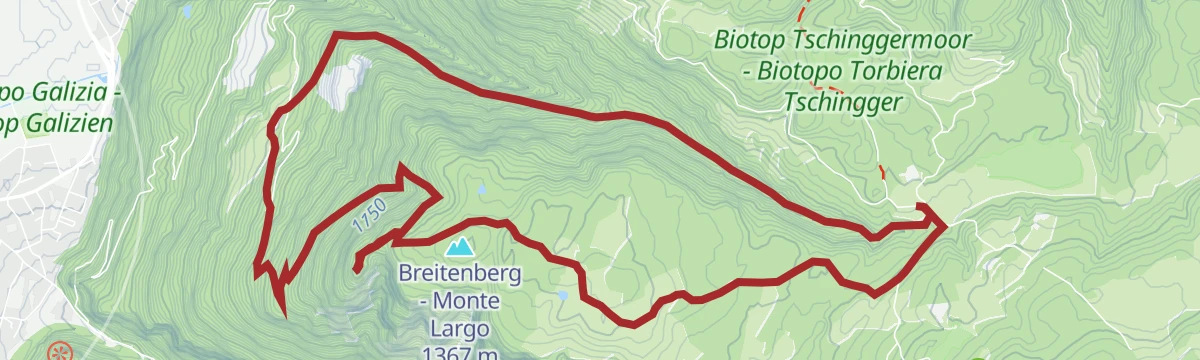
Open route Südtirols SüdenEscursione circolare sul Montelargo
A circuit over the Breitenberg above Deutschnofen, passing the Wölflhof farm and the viewpoint at Enzbirch on the way round.
- 11.9 km
- Distance
- 659 m
- Ascent
- 4 h 41 min
- Duration
- 3
- Check-ins
Open route Sterzing, Pfitsch und Freienfeld
No routes of this kind in Nova Ponente/Deutschnofen yet.
The region's own picks
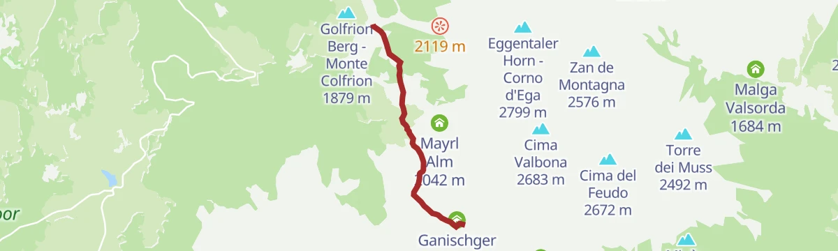
Featured route
Latemar.Alp
A high pasture walk below the Latemar with interpretation panels and games along the way.
Planning a trip to Nova Ponente/Deutschnofen?
Everything else Trentino-Alto Adige/Südtirol has, in one place


Take Nova Ponente/Deutschnofen with you into the mountains
Every route on this page with 3D terrain, GPX navigation and offline maps — including the valleys with no signal.
Data sources
- Official website: eggental.com ↗
- Routes and highlights: Sterzing, Pfitsch und Freienfeld, APT Fiemme Cembra, Südtirols Süden, Aldein Radein, E5 Alps Crossing, Kaltern an der Weinstraße, APT Val di Fassa
- Published as open data by the tourist boards named above.
- Region summary generated from the board's own material.
