
Curated by Osttirol Tourismus
Nikolsdorf
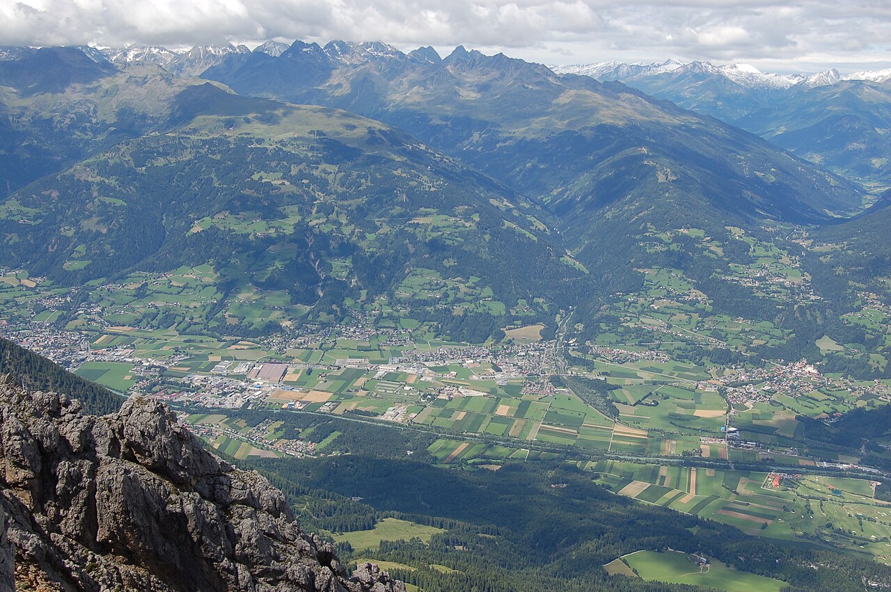
Osttirol's easternmost village, on the Drau at the Carinthian border, below Schloss Lengberg and the Rabantkofl climbing crags.
- 1Highlights
- 9Routes
- Featured summit · Ederplan
Highlights
14 from neighbouring places
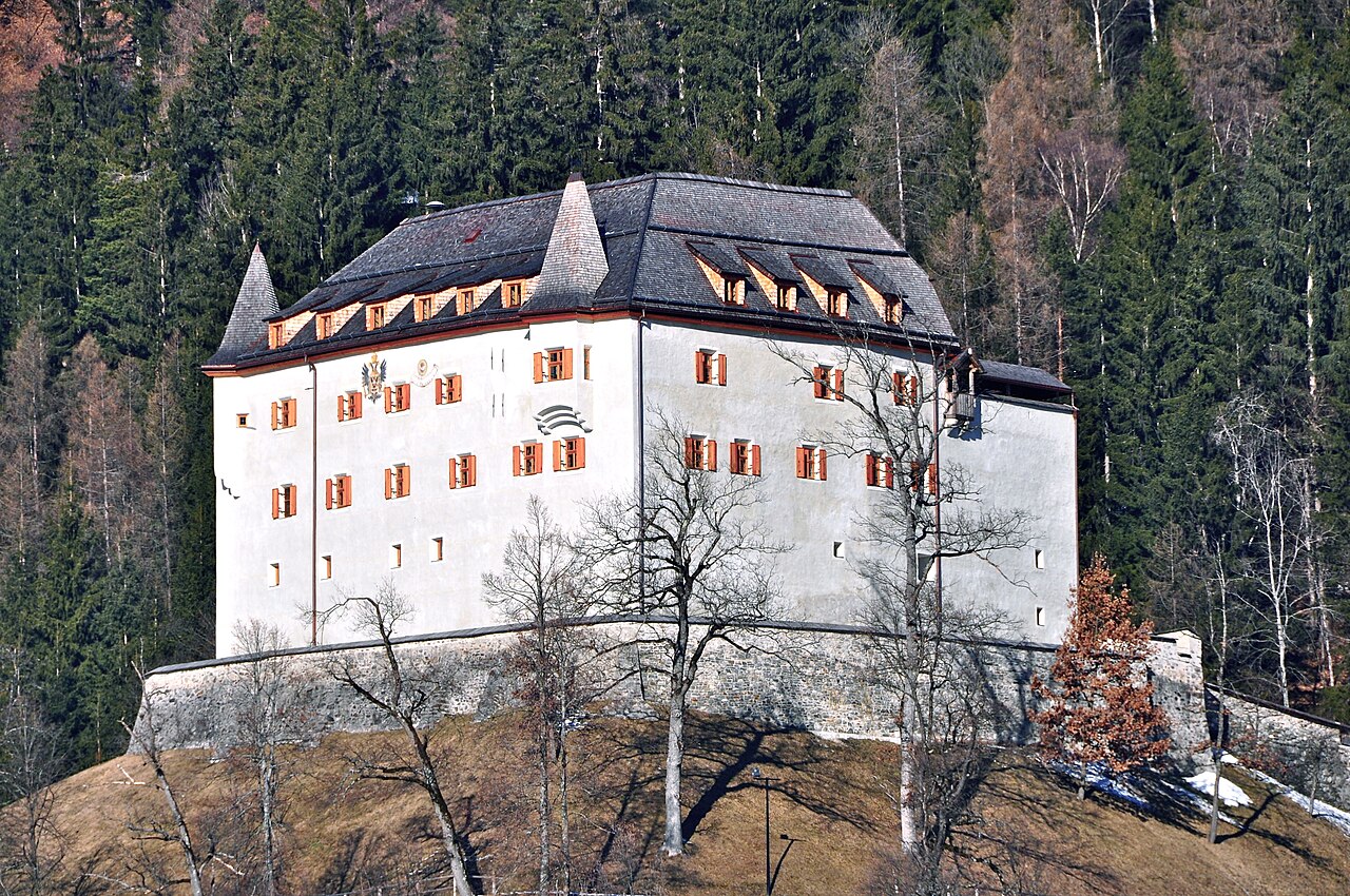
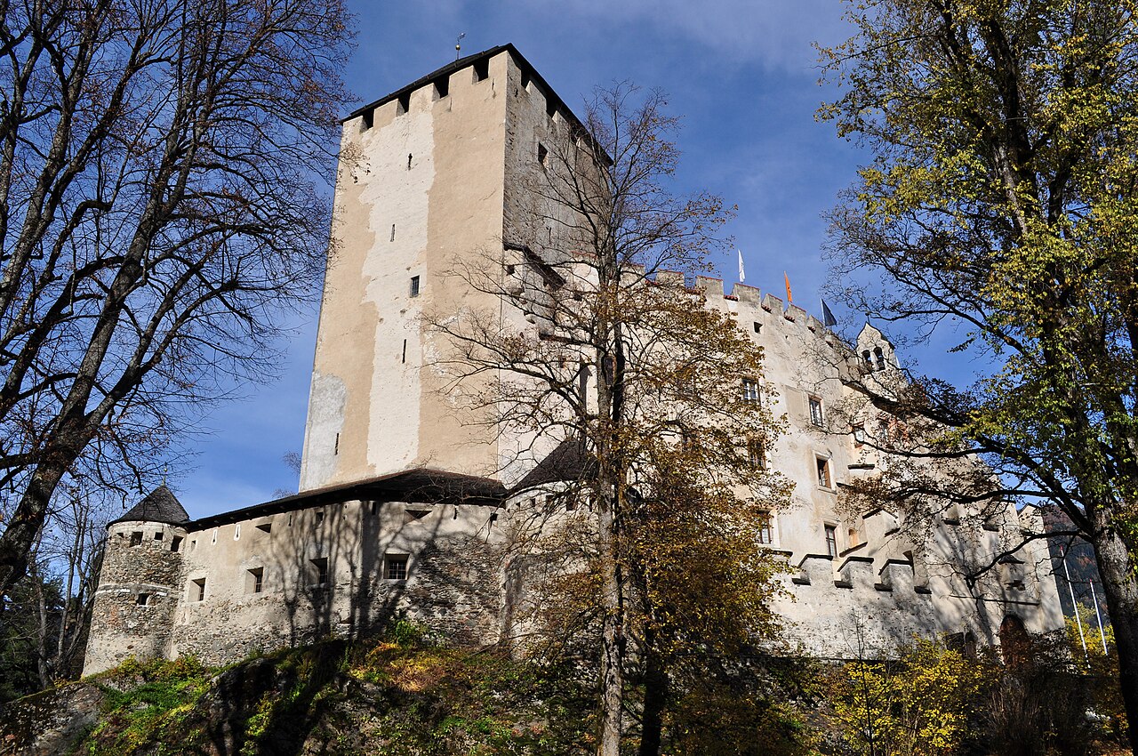
Schloss Lengberg
A medieval hilltop castle at Nikolsdorf in the Drau valley, known for excavations that uncovered rare 15th-century textiles.
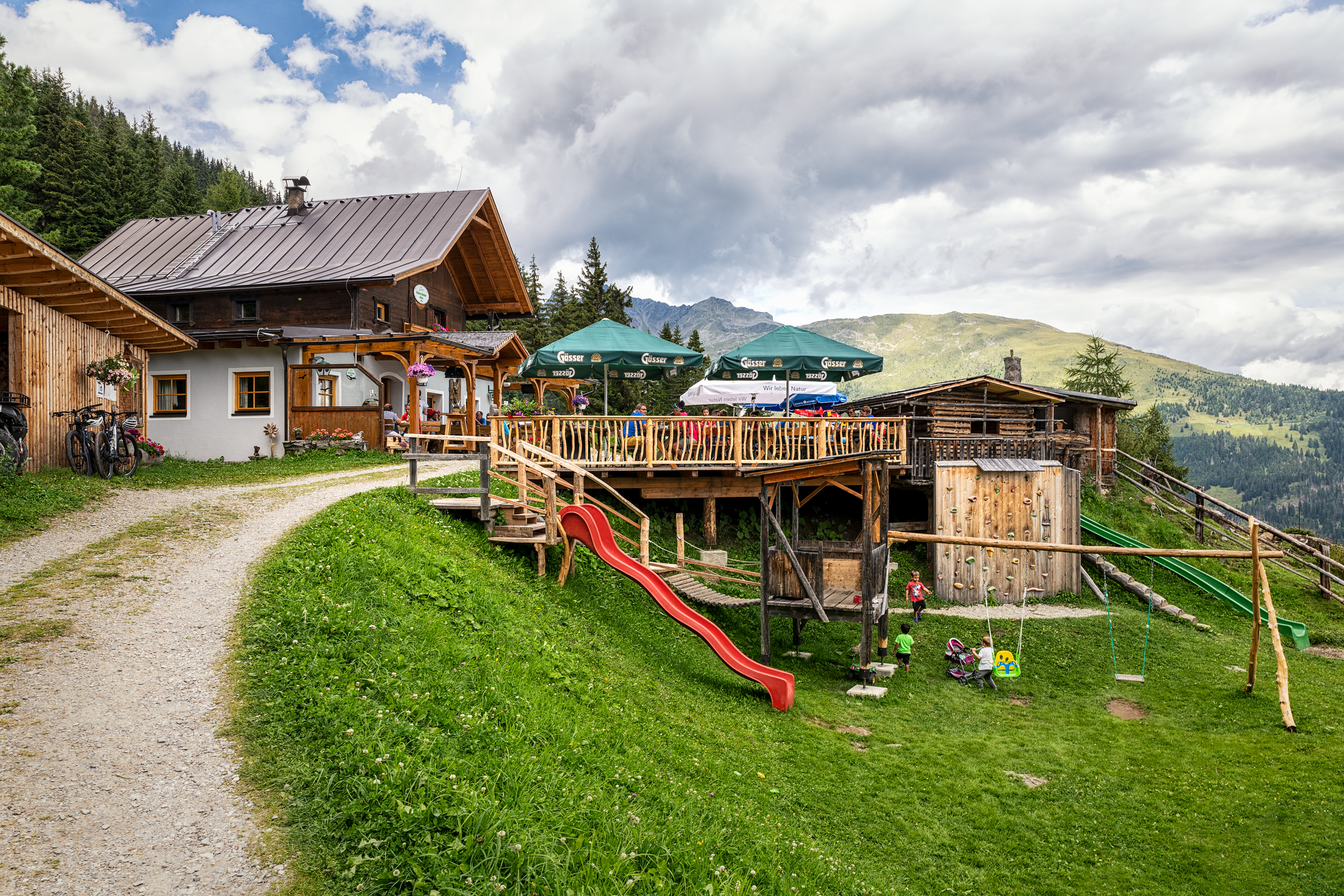
Anna Schutzhaus 1.992m
3.8 km away, in Dölsach
A refuge at 1,992 m near the Ederplan summit above Dölsach, with wide views over the Drau valley and across to the Lienz Dolomites.
Kuenz Naturbrennerei
5.8 km away, in Dölsach
A family fruit distillery at Dölsach near Lienz, producing schnapps from orchard fruit and offering tastings and farm sales.
Debanttal
13.7 km away, in Dölsach
A side valley near Lienz reaching deep into the Schober group, much of it lying within the Hohe Tauern National Park.
Seekofel
8.9 km away, in Tristach
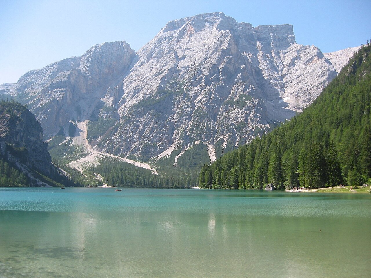
A multi-pitch climbing peak in the Lienz Dolomites above the Tristacher See, with routes on its limestone walls.
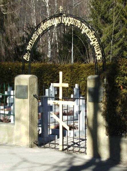
Kosakenfriedhof
9.6 km away, in Tristach
A cemetery near Lienz for Cossacks who died in 1945, when refugees camped in the Drau valley were handed over to the Soviet army.
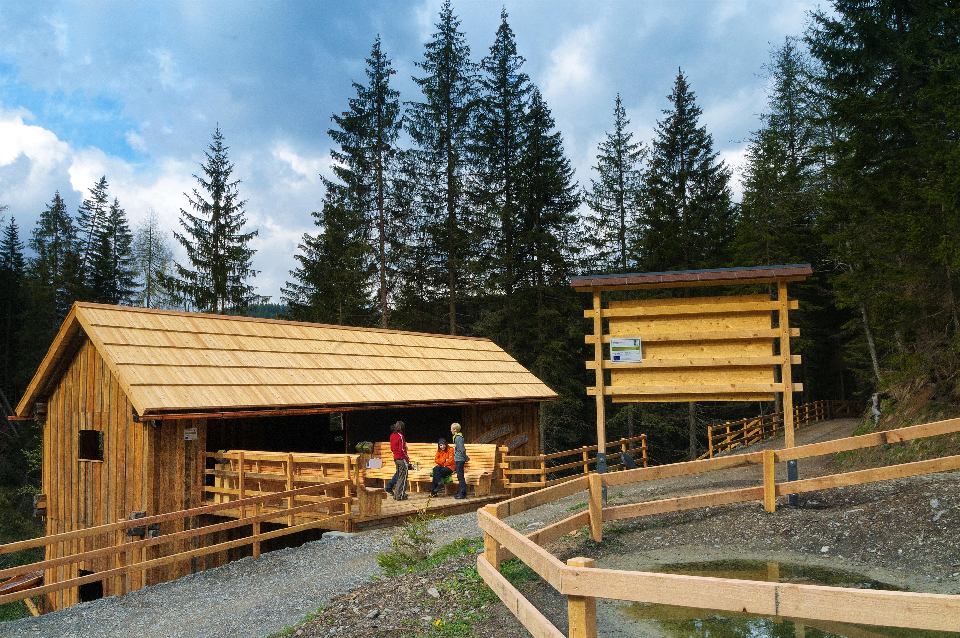
Abenteuer- und Walderlebniswelt Lesachtal
10.9 km away, in Lesachtal
A forest adventure world in the Lesachtal, with climbing and play stations among the trees.
Naturfreundehütte 1.850m
11.1 km away, in Nußdorf-Debant
A Naturfreunde club hut at 1,850 m on the Zettersfeld slopes above Gaimberg and the Lienz basin, open to walkers in season.
Lienzer Bergbahnen, Zettersfeld
11.6 km away, in Gaimberg
A gondola from the edge of Lienz to the Zettersfeld, a sunny plateau at around 1,800 m with family ski slopes and easy high-level walking.
Familienpark Zettersfeld
11.9 km away, in Gaimberg
A family play area on the Zettersfeld, the sunny plateau above Lienz reached by gondola, combined with easy panoramic walking.
Stadtpfarrkirche St. Andrä
12.2 km away, in Lienz
The Gothic town parish church of Lienz, where a memorial chapel holds the grave of the painter Albin Egger-Lienz.
Lienzer Bergbahnen, Hochstein
12.6 km away, in Lienz
Lifts up the Hochstein, Lienz's local mountain, serving ski slopes in winter and walking routes and downhill bike trails in summer.
Sommerrodelbahn Osttirodler
12.6 km away, in Lienz
An alpine coaster on the slopes above Lienz, running from the mountain station of the town's lifts down toward the valley.
Schloss Bruck | Museum der Stadt Lienz
12.9 km away, in Lienz
A medieval castle of the Counts of Görz above Lienz, now the city museum with works by the painter Albin Egger-Lienz.
 Historic site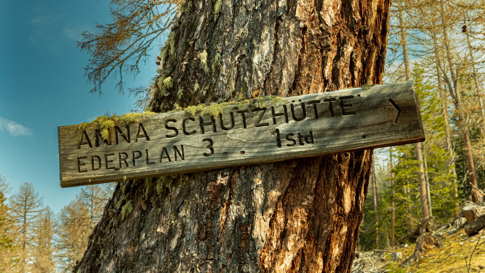


 Cable car
Nothing of this kind in Nikolsdorf.
Routes
11 from neighbouring places
Waldpfad Lavant
Easy forest path around Lavant at the foot of the Lienz Dolomites — a flat, shady walk well suited to families and hot afternoons.
- 3.5 km
- Distance
- 74 m
- Ascent
- 1 h 1 min
- Duration
Familienwanderung Rabantalm
Family route from the pilgrimage church of St. Chrysanthen at Nörsach up to the Rabantalm, a snack stop on the flank of the Lienz Dolomites.
- 9.1 km
- Distance
- 534 m
- Ascent
- 3 h 44 min
- Duration
- 1
- Check-ins
Zietenkopf
Ridge circuit from the Zwischenberger Sattel over the Ederplan and its neighbouring Kreuzeck-group tops, with the Anna-Schutzhaus as the refreshment stop.
- 14.1 km
- Distance
- 1 286 m
- Ascent
- 8 h 4 min
- Duration
- 9
- Check-ins
Nikolsdorfer Runde Nr. 126
A circuit from the Drau valley at Nikolsdorf climbing towards the Rabantkofel, past the climbing garden on the way up.
- 28.6 km
- Distance
- 1 276 m
- Ascent
- 3 h 44 min
- Duration
Drauradweg
A gently descending stage on the river cycle path from San Candido through the Pustertal, following the Drau past Mittewald to Nikolsdorf.
- 63.2 km
- Distance
- 165 m
- Ascent
- 5 h 46 min
- Duration
- 25
- Check-ins
Walter Mair Rundwanderweg Lienzer Talboden - Etappe 2
Stage two of the valley-floor circuit around the Lienz basin — an easy-graded 12 km leg through the fields and villages around Nikolsdorf.
- 12.6 km
- Distance
- 344 m
- Ascent
- 3 h 48 min
- Duration
Zabarotsteig
A steep marked climb from the Drau valley floor at Nikolsdorf up to the Hochstadelhaus, packing more than 1,200 m of ascent into under six kilometres.
- 5.8 km
- Distance
- 1 219 m
- Ascent
- 6 h 45 min
- Duration
- 3
- Check-ins
Dolomitenradrundfahrt
A long road circuit from the Drau valley over the Gailbergsattel and the Kartitscher Sattel, returning through the Lesachtal and Kötschach-Mauthen.
- 109.7 km
- Distance
- 2 481 m
- Ascent
- 12 h 5 min
- Duration
- 12
- Check-ins
Walter Mair Rundwanderweg Lienzer Talboden - Etappe 3
The third leg of the marked circuit around the Lienz valley basin, rolling through Dölsach's villages and fields past the Holunderhof restaurant.
- 13.2 km
- Distance
- 529 m
- Ascent
- 4 h 24 min
- Duration
Skitour Hochstadel 2.681m
3.5 km away, in Oberdrauburg
A big ski-mountaineering day starting near Oberpirkach above Oberdrauburg, gaining more than 2,100 m over the Rastenkogel to a 2,681 m Lienzer Dolomiten summit.
- 11.8 km
- Distance
- 2 126 m
- Ascent
- 2 126 m
- Descent
- 6 h 60 min
- Duration
- 1
- Check-ins
ÖTK Klettersteig Pirknerklamm
3.9 km away, in Oberdrauburg
Compact gorge climb starting behind an old mill near Unterpirkach in the Drautal; past two weirs the route joins the marked ÖTK path toward the Hochstadelhaus and back to Pirkach.
- 2.1 km
- Distance
- 140 m
- Ascent
- 1 h 13 min
- Duration
Skitour Stronachkogel 1.831m
5.9 km away, in Iselsberg-Stronach
Short ski tour from Stronach past the Stronacher Alm to an 1,831 m summit overlooking the Lienz valley basin — a compact half-day objective.
- 3.6 km
- Distance
- 692 m
- Ascent
- 692 m
- Descent
- 2 h 14 min
- Duration
E-Bike & Klettersteig Große Sandspitze 2.772m
8.2 km away, in Tristach
E-bike approach to the Dolomitenhütte, then past the Karlsbader Hütte onto the Große Sandspitze, highest of the Lienz Dolomites; descent via the Ari-Schüberl-Steig.
- 30.6 km
- Distance
- 600 m
- Ascent
- 12 h 49 min
- Duration
- 59
- Check-ins
Roana Alm Nr. 156
9.3 km away, in Winklern
A forest-road climb above Winklern linking the Lugger Alm and Straganz Alm, ending at the highest of the three at 1,900 m.
- 13.6 km
- Distance
- 603 m
- Ascent
- 1 h 47 min
- Duration
- 16
- Check-ins
Moosalm/Alban Lakata Trail
13.3 km away, in Lienz
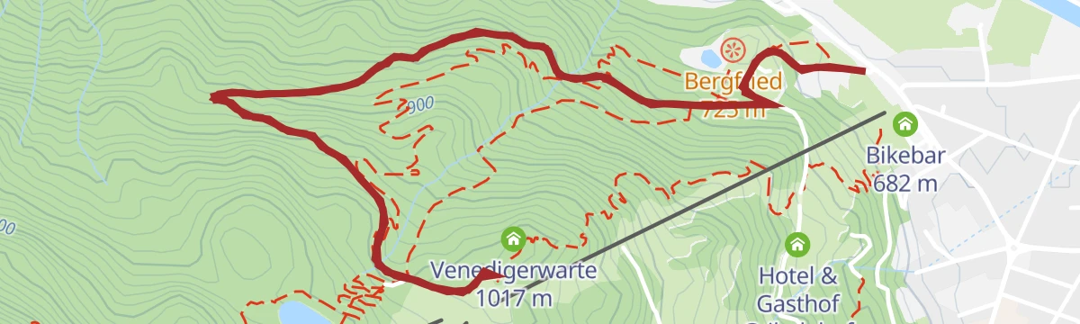
A short flow trail on the Hochstein above Lienz, dropping from the Moosalm past the Bergfried viewpoint towards the valley station.
- 5.5 km
- Distance
- 345 m
- Ascent
- 54 min
- Duration
- 9
- Check-ins
Ederplan Nr. 125
4.4 km away, in Dölsach
A relentless forest-road climb from the valley floor near Lienz to the Anna-Schutzhaus, close to 1,400 m of ascent in 11 km.
- 11.0 km
- Distance
- 1 364 m
- Ascent
- 3 h 4 min
- Duration
- 4
- Check-ins
Winkleralmsee-Runde
11.3 km away, in Winklern
From the Roaner Alm car park above the Iselsberg, an easy alm circuit linking the Winklerner Hütte, the little Winklerner Almsee and the Bartlerhütte pastures.
- 5.6 km
- Distance
- 255 m
- Ascent
- 1 h 57 min
- Duration
- 10
- Check-ins
 Winklerner Hütte 1 905 m
- Roaner Alm 1 900 m
 Winklerner Almsee 2 022 m
- Bartlerhütte 1 865 m
- Winklerner Viehalm 1 975 m
Bike & Hike Zietenkopf 2.484m
4.4 km away, in Dölsach
A big day above the Drau valley: a long ride up to the Anna-Schutzhaus at 1,992 m, then on foot over the Michelsberger and Lindsberger Törl.
- 32.1 km
- Distance
- 2 126 m
- Ascent
- 5 h 27 min
- Duration
- 9
- Check-ins
Wanderung zum Anna Schutzhaus am Ederplan
4.4 km away, in Dölsach
A long day hike from Dölsach up to the Anna-Schutzhaus below the Ederplan, with Café Platsch as a stop on the lower slopes; over 1,400 m of ascent spread across a 20 km round.
- 20.9 km
- Distance
- 1 410 m
- Ascent
- 9 h 28 min
- Duration
- 4
- Check-ins
Weg der Römer
6.8 km away, in Dölsach
A half-day loop around Dölsach themed on the Roman town of Aguntum, passing the excavation site's Grabungshaus and Café Platsch on gentle terrain.
- 15.6 km
- Distance
- 630 m
- Ascent
- 5 h 13 min
- Duration





No routes of this kind in Nikolsdorf yet.
The region's own picks

Featured route
Waldpfad Lavant
Easy forest path around Lavant at the foot of the Lienz Dolomites — a flat, shady walk well suited to families and hot afternoons.
Planning a trip to Nikolsdorf?
Everything else Tyrol has, in one place


Take Nikolsdorf with you into the mountains
Every route on this page with 3D terrain, GPX navigation and offline maps — including the valleys with no signal.
Data sources
- Official website: osttirol.com ↗
- Routes and highlights: Osttirol Tourismus, Nassfeld-Pressegger See Tourismus
- Published as open data by the tourist boards named above.
- Region summary generated from the board's own material.
