
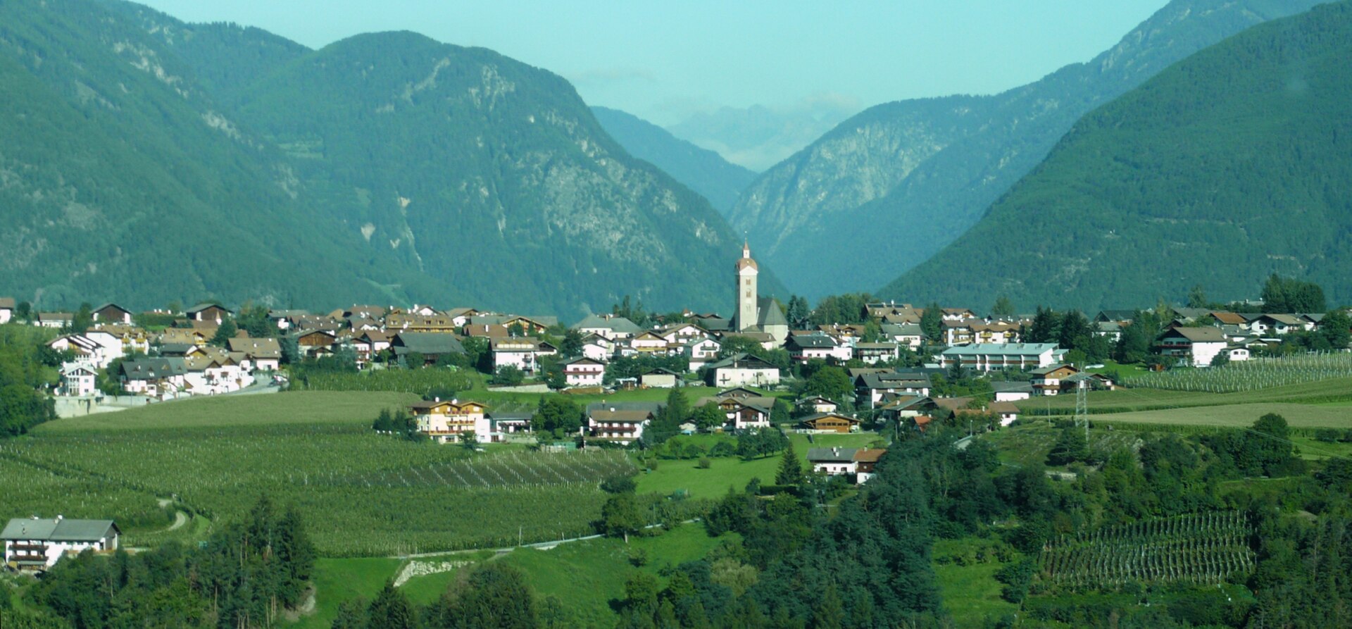
Curated by Natz–Schabs
Naz-Sciaves/Natz-Schabs
Isarco valley comune on a high plateau of apple orchards, with a mineral museum and long views to the Dolomites.
- 15Highlights
- 37Routes
- Featured summit · Pinatzbühel - Colle Pinatz
Highlights
All 15 from neighbouring places
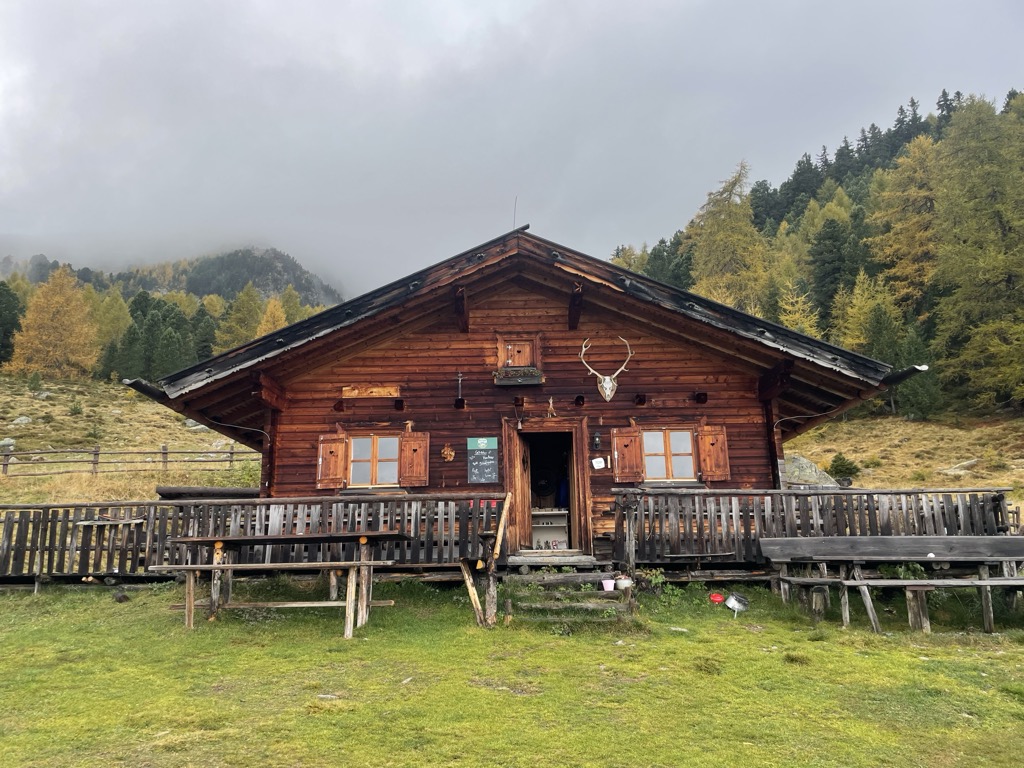
Zirmaitalm
7.3 km away, in Varna/Vahrn
A dairy hut on the pastures above Varna, north of Bressanone in the Val Isarco.
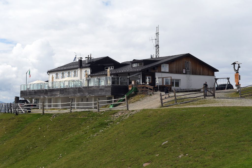
Sterzing, Pfitsch und FreienfeldRifugio Plose
8.6 km away, in Luson/Lüsen
A refuge on the Plose above Luson, on the broad ridge east of Bressanone that carries the ski runs and summer paths.
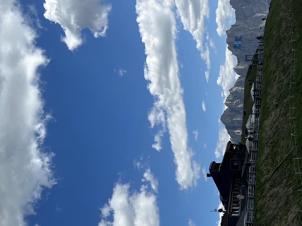
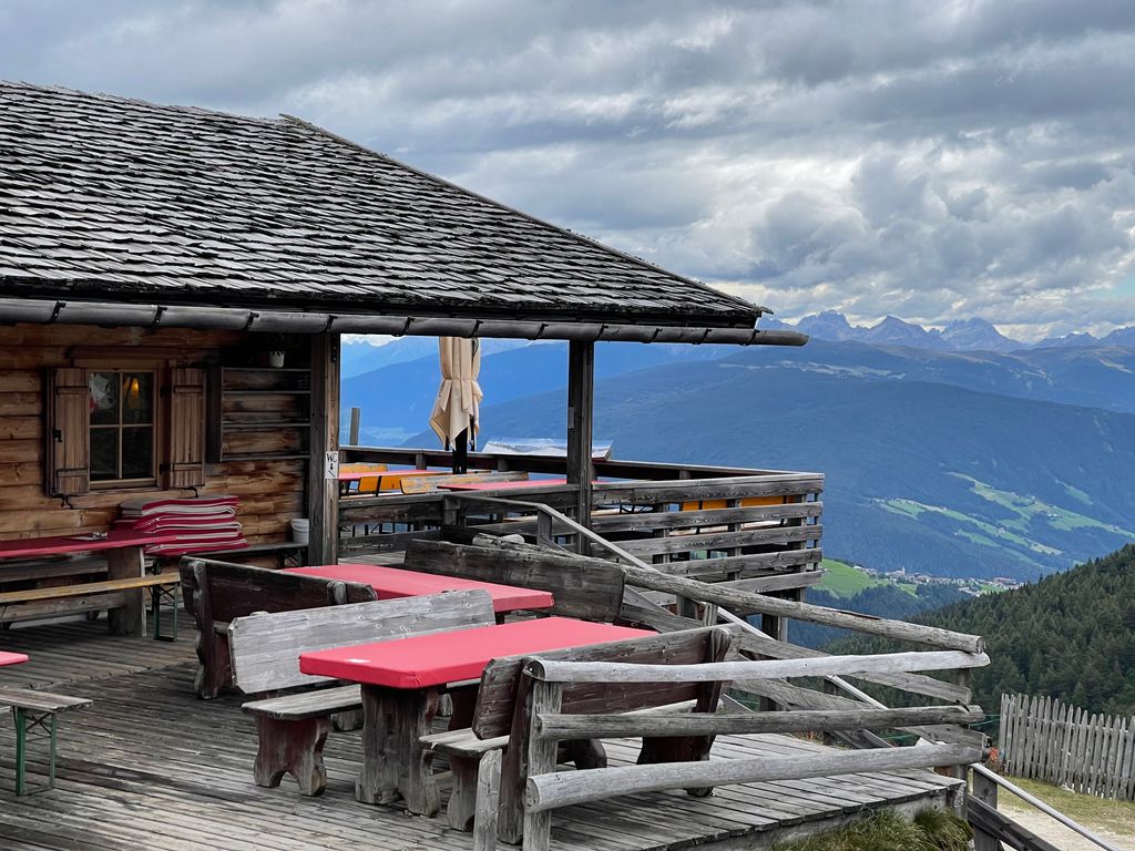
Sterzing, Pfitsch und FreienfeldAlbergo Rossalm
9.7 km away, in Bressanone/Brixen
A pasture inn on the Plose above Bressanone, among the open ridge walks that run south from the Plose lifts toward the Aferer Geisler.
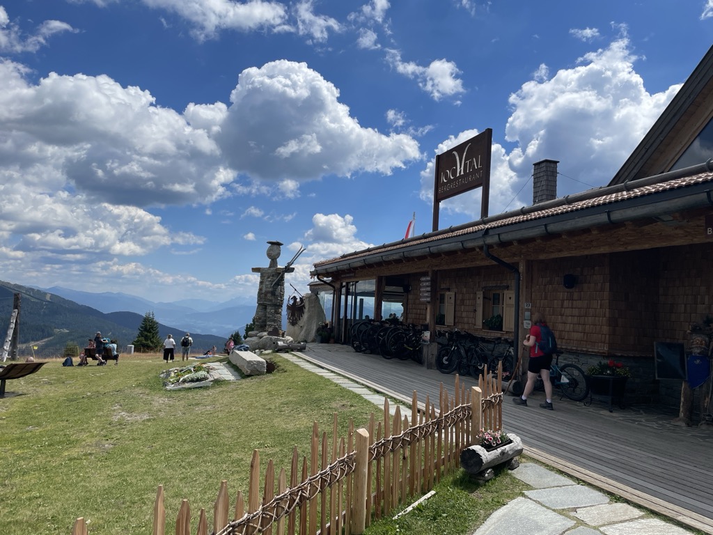
Bergrestaurant Jochtal
10.7 km away, in Rio di Pusteria/Mühlbach
A mountain restaurant at the top of the Jochtal lift above Valles, in the Gitschberg-Jochtal area of the Val Pusteria.
Ochsenalm
10.8 km away, in Rio di Pusteria/Mühlbach
A pasture hut on the grassy slopes above Rio di Pusteria, reached by forest road from the Valles valley.
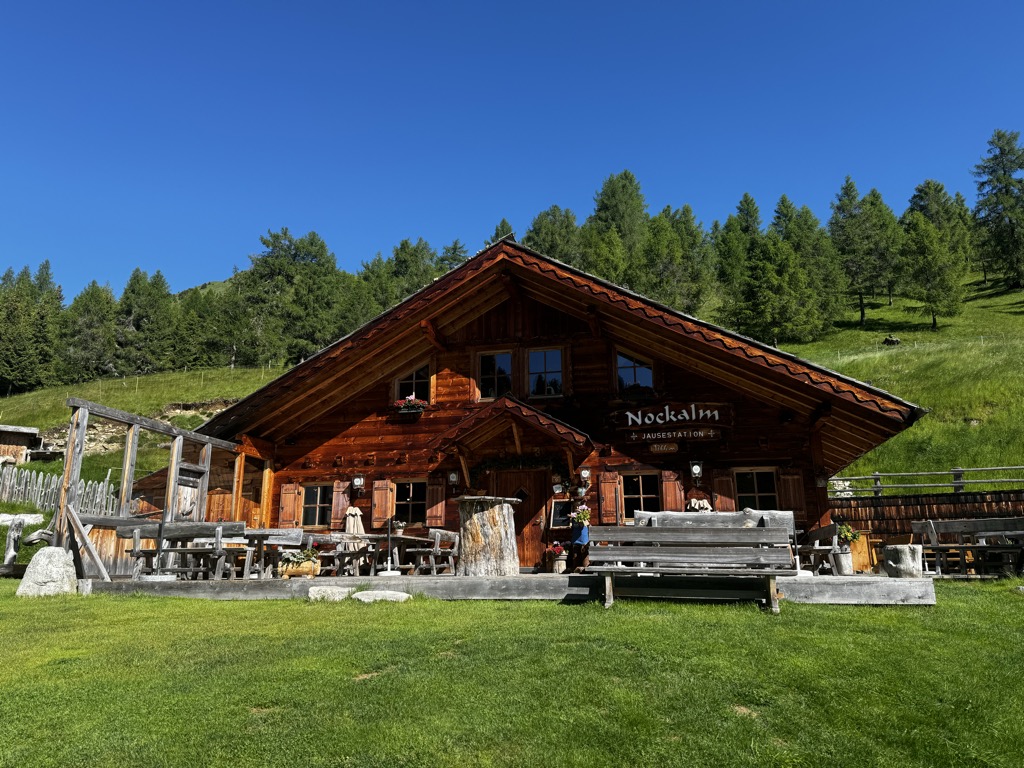
Sterzing, Pfitsch und FreienfeldNockalm
10.9 km away, in Rio di Pusteria/Mühlbach
A working dairy on the high pastures above Valles, in the comune of Rio di Pusteria.
Sterzing, Pfitsch und FreienfeldRifugio Schatzerhütte
11.4 km away, in Bressanone/Brixen
A refuge on the wooded terraces of the Plose above Bressanone, on the traverse between the Plose slopes and the Aferer Geisler, in the Eisacktal.
Wieserhütte
11.5 km away, in Rio di Pusteria/Mühlbach
A hut on the wooded slopes above Rio di Pusteria, reached on foot from the Valles road.
Kurzkofel
12.2 km away, in Rio di Pusteria/Mühlbach
A pasture hut below the Kurzkofel above Rio di Pusteria, in the Pfunderer mountains north of the Val Pusteria.
Sterzing, Pfitsch und FreienfeldTschiffernaun Alm
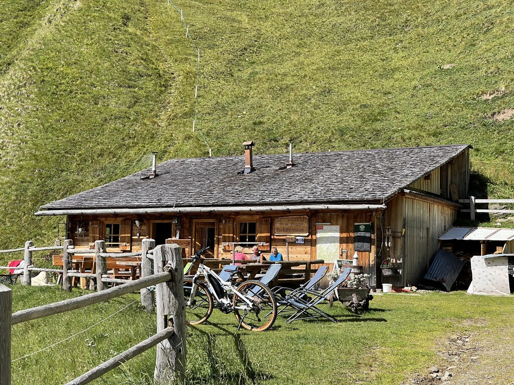
13.8 km away, in Rio di Pusteria/Mühlbach
A dairy hut on the Tschiffernaun pastures above Rio di Pusteria, in the mountains north of the Val Pusteria.
Sterzing, Pfitsch und FreienfeldMalga Fane
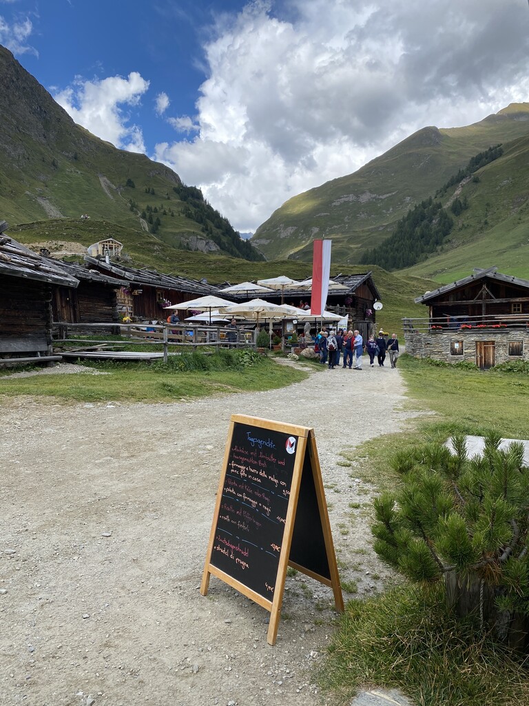
14.1 km away, in Rio di Pusteria/Mühlbach
A hamlet of timber dairy huts on the pastures at the head of the Valles valley, above Rio di Pusteria, reached by track from Valles.
Gatterer Hütte
14.1 km away, in Rio di Pusteria/Mühlbach
A pasture hut on the slopes above Rio di Pusteria, in the Valle di Valles.
Sterzing, Pfitsch und FreienfeldZingerle Hütte
14.1 km away, in Rio di Pusteria/Mühlbach
A pasture hut above Rio di Pusteria, on the walking paths of the Gitschberg-Jochtal side of the Val Pusteria.
Malga Kuttn
14.2 km away, in Rio di Pusteria/Mühlbach
A dairy hut on the open pasture above Rio di Pusteria, on the Valles side of the valley.
Sterzing, Pfitsch und Freienfeld
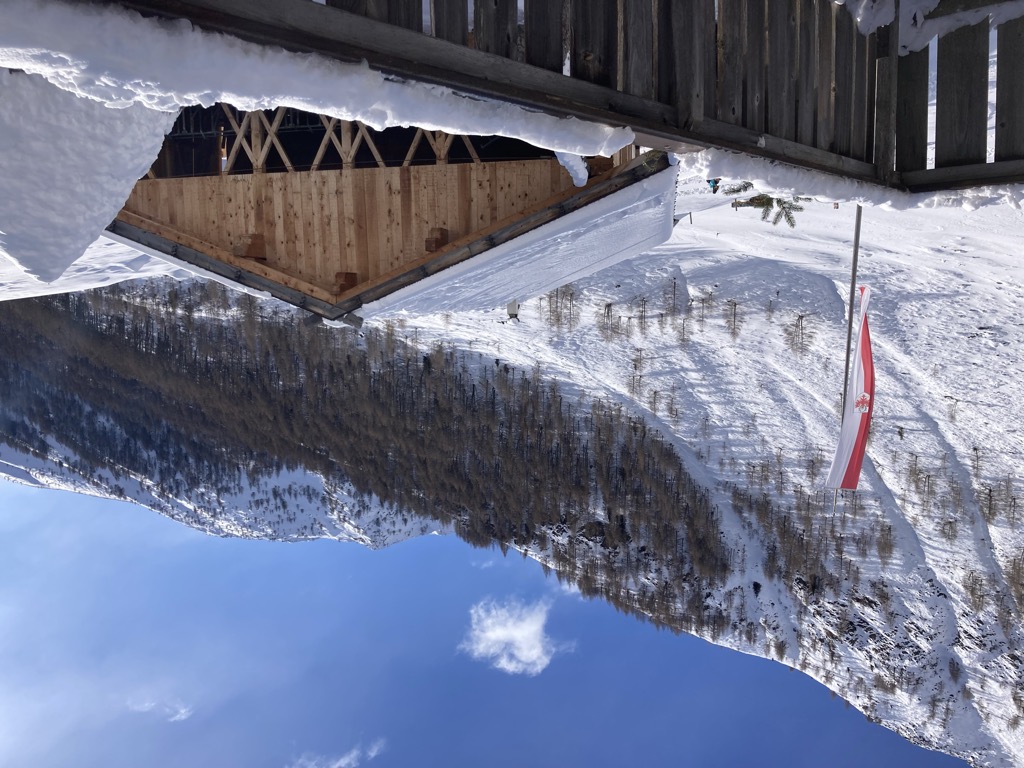
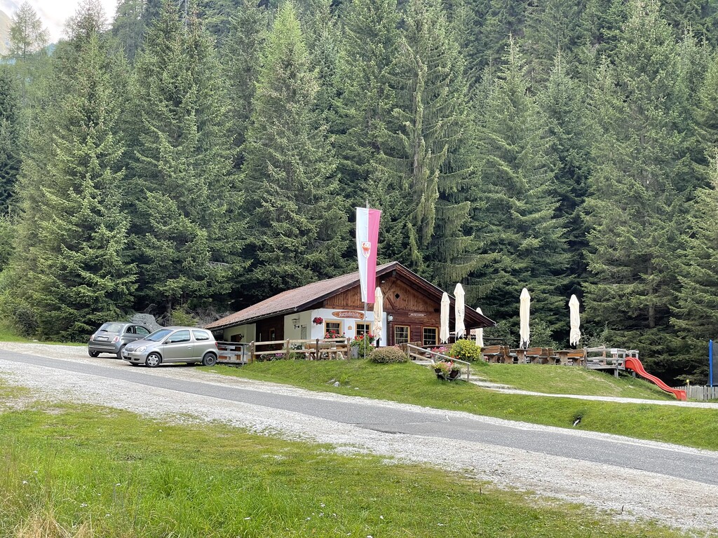
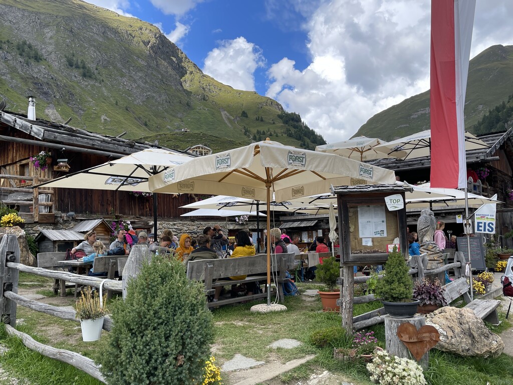
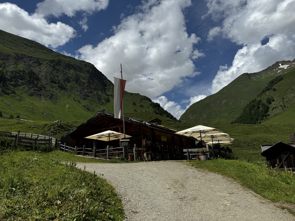
Nothing of this kind in Naz-Sciaves/Natz-Schabs.
Routes
Cikilyrweg
An easy walk on gentle paths through the countryside around Mühlbach, with little height to gain.
- 5.4 km
- Distance
- 137 m
- Ascent
- 1 h 36 min
- Duration
- 17
- Check-ins
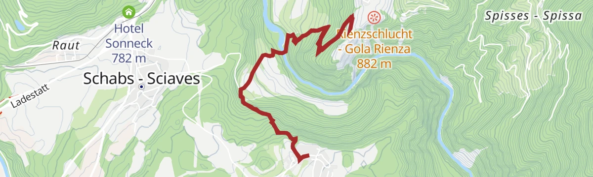
Open route Gitschberg - JochtalFrom Schabs to Rodenegg Castle
A well-used route from Sciaves across the Rienza gorge to Rodenegg, one of the strongest castles in South Tyrol, returning by Riomolino.
- 11.6 km
- Distance
- 505 m
- Ascent
- 3 h 58 min
- Duration
- 12
- Check-ins
 Hotel Putzerhof 769 m
 Kofler-Lacke 739 m
Open route BrixenEisacktal Valley Wine and Apple Trail
A long circuit on the Archeopfad from Brixen through vineyards and orchards up to the apple country of the Natz-Schabs plateau, passing two biotopes and the Neustift monastery.
- 17.1 km
- Distance
- 436 m
- Ascent
- 5 h 5 min
- Duration
- 3
- Check-ins
Open route Brixen457 Dalle alture pittoresche al fascino delle città medievali: Da Castelrotto a Vipiteno
An e-bike traverse dropping from Castelrotto into the Eisacktal, then following the valley north to Vipiteno largely on surfaced roads.
- 65.4 km
- Distance
- 762 m
- Ascent
- 6 h 33 min
- Duration
- 80
- Check-ins
 Paterbichl 559 m
- Klammwirt 559 m
- Tourist Information 1 069 m
- Senfter 532 m
- Fürholz 554 m
- Hilm 488 m
- +10
Open route Seis am Schlern457 From picturesque heights to medieval town flair - from Kastelruth to Sterzing
A long valley ride from the terrace above the Eisack down to the river, then north past Paterbichl to Sterzing, mostly on paved paths.
- 65.0 km
- Distance
- 758 m
- Ascent
- 6 h 31 min
- Duration
- 76
- Check-ins
- Paterbichl 559 m
- Klammwirt 559 m
- Tourist Information 1 069 m
- Senfter 532 m
- Fürholz 554 m
- Hilm 488 m
- +9
Open route SterzingThe “Schabna Themenweg” themed trail - for those interested in history
A short themed loop at Sciaves with eleven boards on local history, from the Spinges passion chapels to the Fortezza stronghold.
- 3.2 km
- Distance
- 78 m
- Ascent
- 56 min
- Duration
- 10
- Check-ins
Open route Natz–SchabsMonastery Walls, Vineyards and the Archaeological Trail
A walk from Neustift abbey, reached by bus from Bressanone, through walled vineyards and orchards and up the Pinatzbühel on an archaeological trail.
- 8.4 km
- Distance
- 325 m
- Ascent
- 2 h 48 min
- Duration
- 8
- Check-ins
- Pinatzbühel - Colle Pinatz 855 m
- Museo abbaziale 603 m
- Krückelhuben 735 m
- Laurin 688 m
- Guggerhof 715 m
Open route BrixenBruneck - Brixen
A gently descending run along the Pustertal cycle route towards Brixen, passing the old town gate at Mühlbach.
- 42.0 km
- Distance
- 204 m
- Ascent
- 4 h 2 min
- Duration
- 68
- Check-ins
- Hotel Putzerhof 769 m
- Mühlbacher Torturm - Porta di Rio Pusteria 734 m
- Hotel Sonneck 782 m
- Tourismusverein - Ufficio informazioni turistiche 790 m
- Mini Snack 745 m
- Treff Ried 927 m
- +3
Open route Bruneck Kronplatz TourismusTo the lime pits to Sciaves
An easy walk on trail 9 above Sciaves to the old lime pits, with a display board at the first one, and back past the Urlaubsstöckl chapel.
- 5.9 km
- Distance
- 146 m
- Ascent
- 1 h 46 min
- Duration
- 10
- Check-ins
Open route Natz–SchabsFrom Natz through the Rienz Gorge to Rodeneck
A route from Naz down into the Rienza gorge, over the river and up the far side to the castle of Rodengo.
- 14.4 km
- Distance
- 827 m
- Ascent
- 5 h 48 min
- Duration
- 6
- Check-ins
- Zummüllerhof 854 m
- Vitroler Hof 923 m
- Badstube 932 m
- Niedristhof 836 m
- Kernhof 842 m
- Sieberlechner Hof 891 m
Open route Valle Isarco - EisacktalPustertal Valley Bike Route: Bruneck - Franzenfeste
A leg of the Puster valley cycle path heading west from Brunico past Rio di Pusteria to the fortress at Fortezza.
- 34.7 km
- Distance
- 176 m
- Ascent
- 3 h 16 min
- Duration
- 52
- Check-ins
- Hotel Putzerhof 769 m
- Mühlbacher Torturm - Porta di Rio Pusteria 734 m
- Hotel Sonneck 782 m
- Mini Snack 745 m
- Touristik Information 764 m
- Informationsbüro St. Lorenzen 818 m
- +1
Open route Gitschberg - JochtalFrom Natz to the Historic Brixen
A level walk from Naz by way of Elvas and then down into Bressanone, on the plateau above the Isarco.
- 5.3 km
- Distance
- 12 m
- Ascent
- 1 h 35 min
- Duration
- 5
- Check-ins
Open route Natz–SchabsRound Trip from Rodeneck to Natz
A round from Naz on trail 4 into the Rienza gorge, over the footbridge and up by Spisses and Vill to Rodenegg castle.
- 14.2 km
- Distance
- 848 m
- Ascent
- 5 h 53 min
- Duration
- 6
- Check-ins
- Zummüllerhof 854 m
- Vitroler Hof 923 m
- Badstube 932 m
- Niedristhof 836 m
- Kernhof 842 m
- Sieberlechner Hof 891 m
Open route Natz–SchabsTour in bicicletta da Vipiteno a Chiusa
A ride down the valley from Vipiteno to Chiusa, passing the Habsburg fortress at Fortezza and the old town centres on the way.
- 48.6 km
- Distance
- 137 m
- Ascent
- 4 h 35 min
- Duration
- 41
- Check-ins
- Paterbichl 559 m
- Klammwirt 559 m
- Senfter 532 m
- Fürholz 554 m
- Klausen Informationsbüro - Chiusa 533 m
- Tourismusverein Sterzing - Associazione Turistica 957 m
- +2
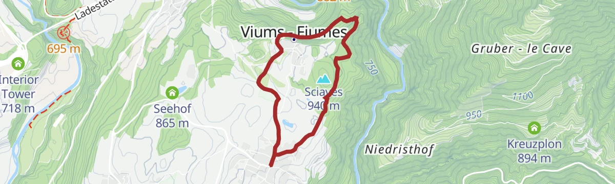
Open route Sterzing, Pfitsch und FreienfeldFrom Church to Church near Natz|Naz
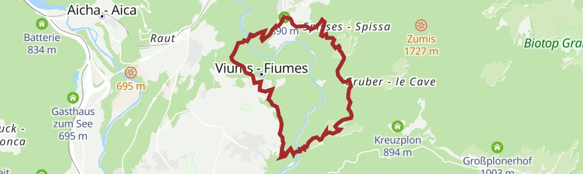
A circuit on the Naz-Sciaves plateau from Fiumes, where the small church of Santa Maddalena stands on its mound.
- 5.5 km
- Distance
- 85 m
- Ascent
- 1 h 30 min
- Duration
Open route Natz–SchabsVineyards Route near Bressanone/Brixen
A hillside round by way of Elvas and the Raiermoos biotope, returning between vines and dry stone walls above Bressanone.
- 10.8 km
- Distance
- 341 m
- Ascent
- 3 h 22 min
- Duration
- 5
- Check-ins
Open route BrixenCycle tour from Sterzing to Klausen
A long valley run from the medieval centre of Sterzing past the fortress of Franzensfeste down to Klausen, dropping over 400 m overall.
- 48.5 km
- Distance
- 128 m
- Ascent
- 4 h 34 min
- Duration
- 28
- Check-ins
- Paterbichl 559 m
- Senfter 532 m
- Fürholz 554 m
- Klausen Informationsbüro - Chiusa 533 m
- Tourismusverein Sterzing - Associazione Turistica 957 m
- Work & Office Center Kampan 572 m
- +1
Open route Klausen, Barbian, Villanders, FeldthurnsFrom Church to Church on the Apple-Growing Plateau of Naz|Natz
An easy circuit between the village churches of the Naz-Sciaves plateau, through apple orchards the whole way.
- 5.5 km
- Distance
- 87 m
- Ascent
- 1 h 30 min
- Duration
Open route Valle Isarco - EisacktalWine and Water Walk (Spazierweg Wein und Wasser) in Rasa/Raas
A walk from Rasa down through terraced vineyards and old farmsteads to the abbey of Novacella and the Vahrner lake, a protected wetland.
- 11.9 km
- Distance
- 332 m
- Ascent
- 3 h 38 min
- Duration
- 3
- Check-ins
Open route Natz–SchabsFrom Raas to Raiermoos
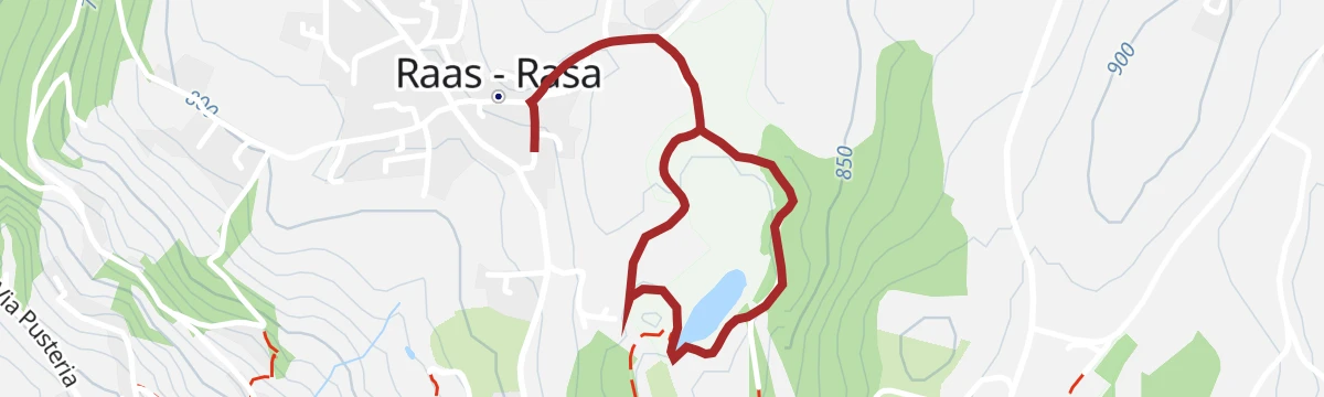
A short flat walk from Rasa to the Raier Moos, a reedy biotope on the apple plateau.
- 2.2 km
- Distance
- 10 m
- Ascent
- 32 min
- Duration
Open route Valle Isarco - EisacktalThe Rienz Gorge circular trail
A varied loop from Schloss Rodenegg down into the rocky gorge of the Rienz and back up past the Lochmühle to the farms above.
- 12.5 km
- Distance
- 829 m
- Ascent
- 5 h 35 min
- Duration
- 2
- Check-ins
Open route Gitschberg - JochtalHiking trough the Vineyards from Raas/Rasa to Brixen/Bressanone
A downhill walk from the church at Rasa by Elvas and Kranebitt into Bressanone, with a bus back up.
- 4.8 km
- Distance
- 10 m
- Ascent
- 1 h 23 min
- Duration
Open route Natz–SchabsApple Trail in Natz-Schabs
A route through the orchards of the Naz-Sciaves plateau, where apples are grown on almost every field.
- 7.7 km
- Distance
- 123 m
- Ascent
- 2 h 6 min
- Duration
- 1
- Check-ins
Open route Valle Isarco - EisacktalRaiermoos Adventure Trail
A short marked walk through the Raiermoos biotope at Rasa, with information boards along the reed beds.
- 2.2 km
- Distance
- 10 m
- Ascent
- 33 min
- Duration
Open route BrixenApple Trail in Natz-Schabs /Naz-Sciaves
A themed path from Naz to Rasa and back, with boards explaining how apples are grown here and across South Tyrol.
- 7.7 km
- Distance
- 89 m
- Ascent
- 2 h 1 min
- Duration
- 1
- Check-ins
Open route Natz–SchabsRound Trip to Stegerbühel Hill
A short round on mossy forest paths over the Stegerbühel, facing Rodenegg castle across the Rienza gorge.
- 2.5 km
- Distance
- 60 m
- Ascent
- 45 min
- Duration
Open route Natz–SchabsSchabs / Sciaves Cirular Hike
A circuit from the church at Sciaves by the Viums cross to the Flötscher pond, then over the Mesnerbühel and through orchards to Naz.
- 9.2 km
- Distance
- 192 m
- Ascent
- 2 h 37 min
- Duration
- 1
- Check-ins
Open route Natz–SchabsRound Trip to the Sommersürs biotope in Natz
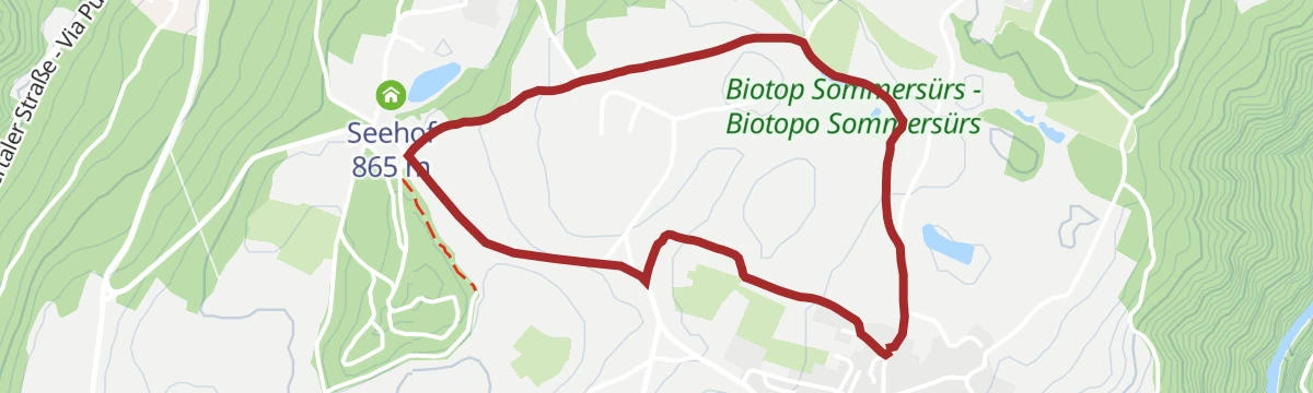
An easy round from the square at Naz on trail 1 to the Sommersürs biotope and the Flötscher pond, back by field paths.
- 3.4 km
- Distance
- 30 m
- Ascent
- 52 min
- Duration
Open route Natz–SchabsAcross the biotopes of Natz-Schabs
A loop on the apple plateau linking the Raiermoos, Sommersürs, Zuzzis, Hairer and Laugen nature reserves.
- 9.4 km
- Distance
- 125 m
- Ascent
- 2 h 31 min
- Duration
Open route BrixenVillage Circular Route Aica
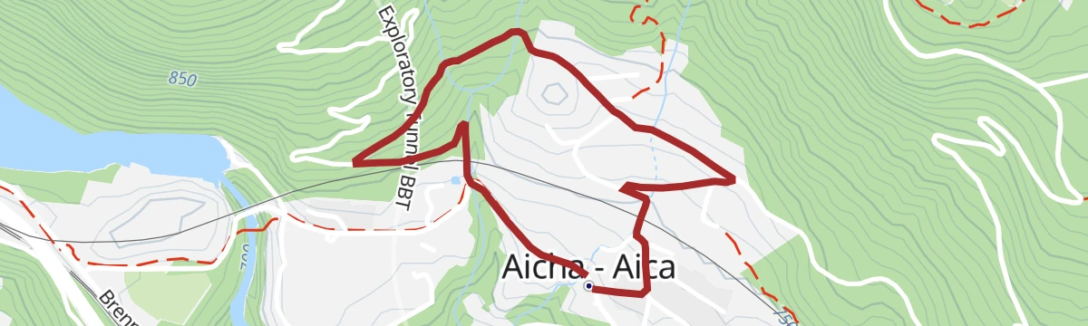
An easy signed round of the village of Aica, starting and finishing at the church.
- 2.3 km
- Distance
- 76 m
- Ascent
- 44 min
- Duration
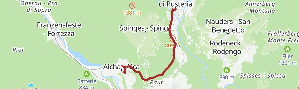
Open route Natz–SchabsFrom Aicha to the Stöcklvater in Mühlbach
A route from Aica along the upper edge of the orchards to the Stöcklvater chapel at Rio di Pusteria.
- 9.3 km
- Distance
- 214 m
- Ascent
- 2 h 42 min
- Duration
Open route Valle Isarco - EisacktalWalk to the viewpoint "Waldertor"
A mostly level walk from the church at Naz across fields and woodland to the Waldertor viewpoint, facing Rodenegg castle.
- 5.2 km
- Distance
- 83 m
- Ascent
- 1 h 26 min
- Duration
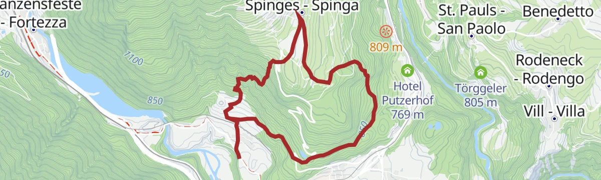
Open route Natz–SchabsFrom Aicha/Aica to Spinges/Spinga
A climb from Aica on trail 7A up to Spinga, returning by the Katzenleiter and its wayside shrine.
- 7.4 km
- Distance
- 423 m
- Ascent
- 2 h 57 min
- Duration
Open route Natz–SchabsFrom Aicha/Aica to the Stöcklvater Church in Mühlbach/ rio di Pusteria
A walk at the mouth of the Pusteria along the top of the orchards and trial vineyards, to the pilgrim chapel of Stöcklvater.
- 9.7 km
- Distance
- 230 m
- Ascent
- 2 h 50 min
- Duration
Open route Natz–SchabsNature path from Natz to Brixen
A flat route from Naz by Rasa to the abbey of Novacella, then along the Isarco into Bressanone, with a bus back.
- 7.0 km
- Distance
- 0 m
- Ascent
- 1 h 57 min
- Duration
Open route Natz–SchabsVillages Round Trip Natz-Schabs
The long villages round of the plateau, through the Fruhnwald to the Waldertor viewpoint, on by Fiumes and Sciaves to the Flötscher pond.
- 12.4 km
- Distance
- 312 m
- Ascent
- 3 h 41 min
- Duration
Open route Natz–SchabsVon Viums zum Schloss Rodenegg
A route from Fiumes down through the Rienza gorge and up to the castle of Rodengo on the far rim.
- 5.8 km
- Distance
- 476 m
- Ascent
- 3 h 3 min
- Duration
Open route Valle Isarco - Eisacktal


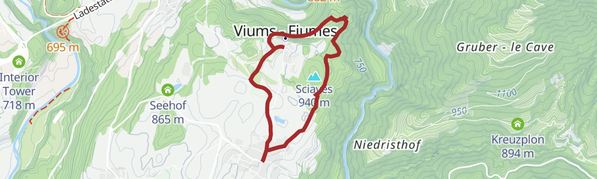


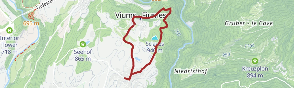










No routes of this kind in Naz-Sciaves/Natz-Schabs yet.
The region's own picks

Featured route
Cikilyrweg
An easy walk on gentle paths through the countryside around Mühlbach, with little height to gain.
Planning a trip to Naz-Sciaves/Natz-Schabs?
Everything else Trentino-Alto Adige/Südtirol has, in one place


Take Naz-Sciaves/Natz-Schabs with you into the mountains
Every route on this page with 3D terrain, GPX navigation and offline maps — including the valleys with no signal.
Data sources
- Official website: suedtirol.info ↗
- Routes and highlights: Natz–Schabs, Sterzing, Pfitsch und Freienfeld, Brixen, Valle Isarco - Eisacktal, Gitschberg - Jochtal, YesAlps, Seis am Schlern, Sterzing, Bruneck Kronplatz Tourismus, Klausen, Barbian, Villanders, Feldthurns
- Published as open data by the tourist boards named above.
- Region summary generated from the board's own material.
