























Curated by Imst Tourismus
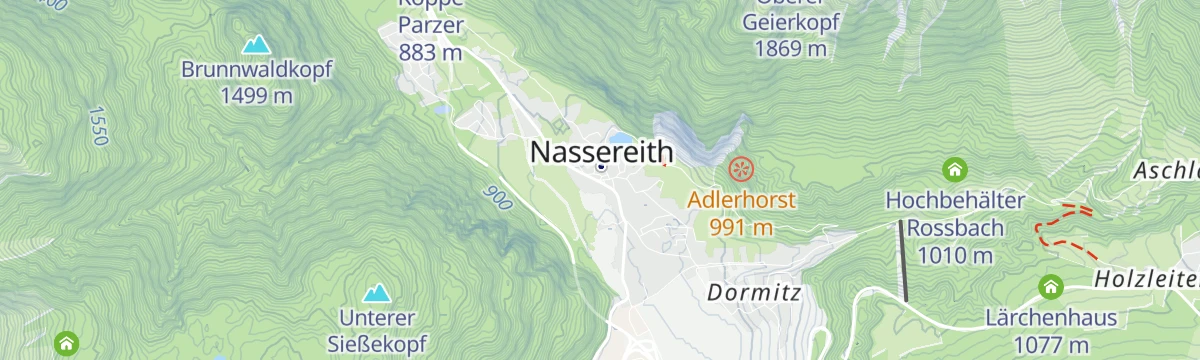
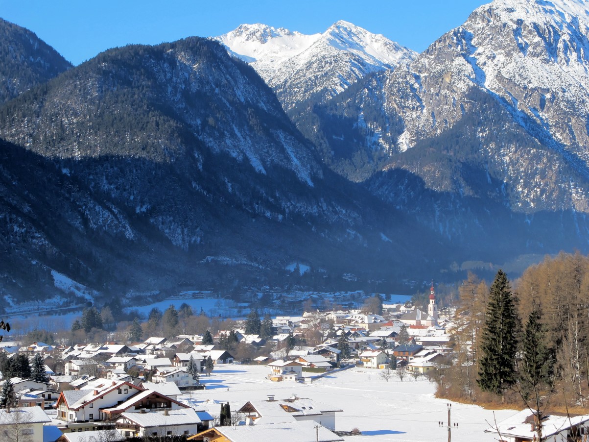
Nassereith
Road-junction village in the Gurgltal on the Fernpass route, celebrated every three years for its Schellerlaufen carnival, part of UNESCO's Tyrolean Fasnacht heritage.
Photo: Bbb · CC BY-SA 3.0 licence
- 3Highlights
- 58Routes
- Featured summit · Loreakopf
Highlights
12 from neighbouring places
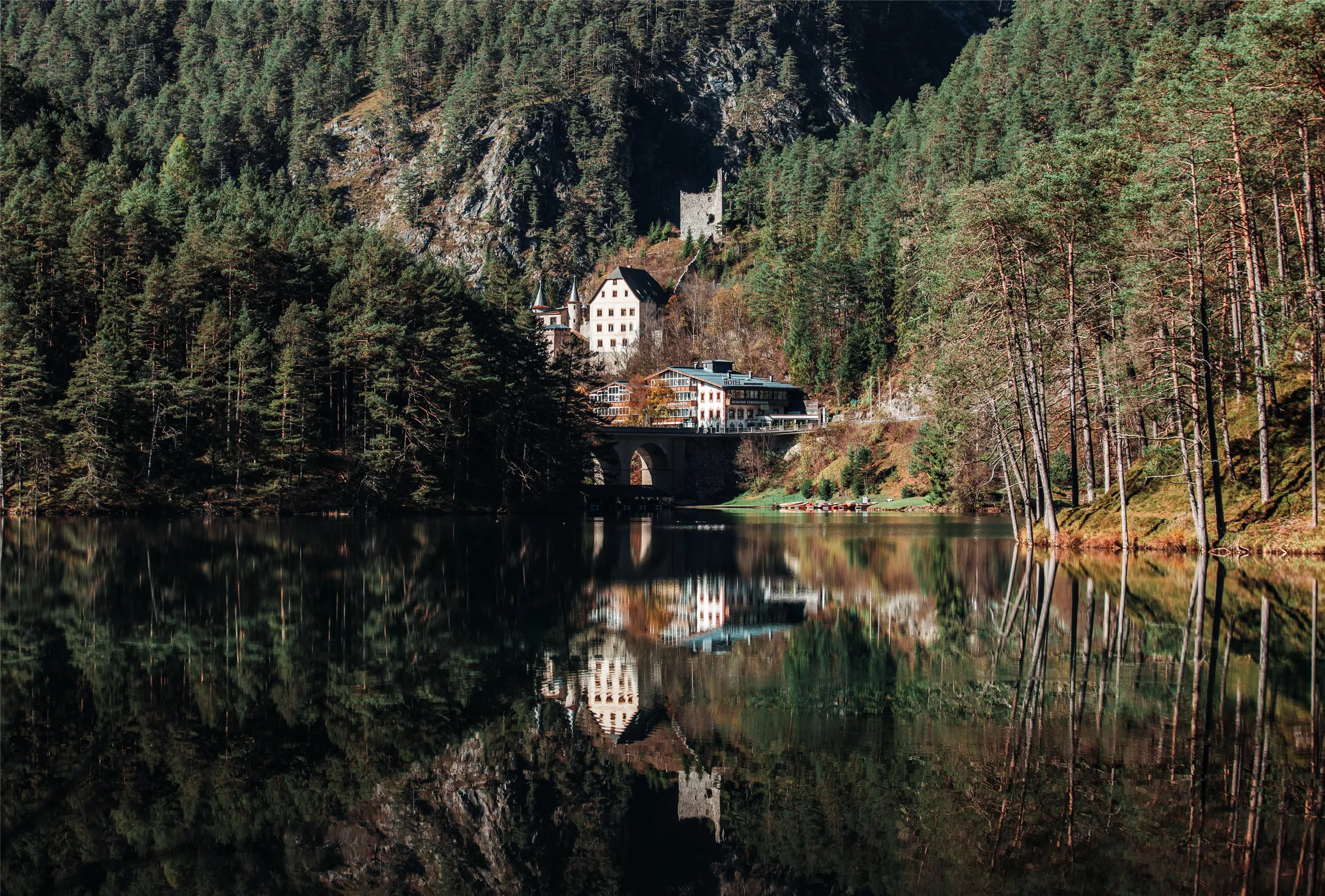
Schloss Fernsteinsee
A castle estate on the Fernpass route at Nassereith, set beside the clear Fernsteinsee, whose island carries the ruin of the Sigmundsburg.
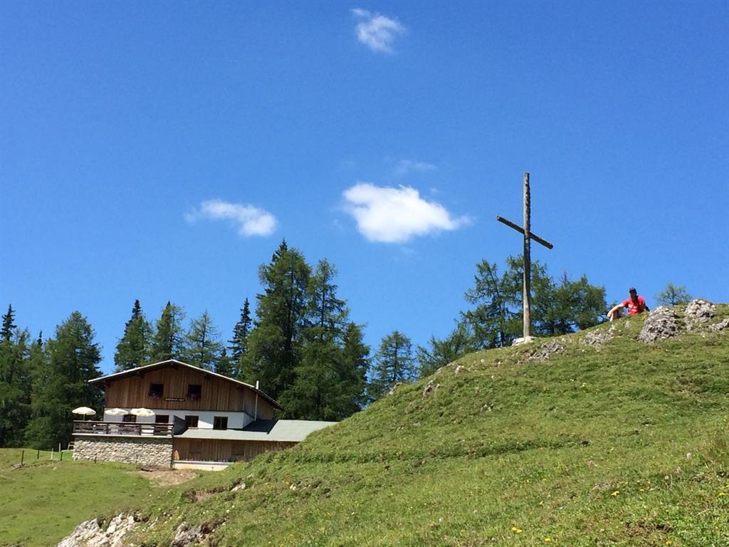
Muthenaualm - Nassereither Alm
An alpine pasture above Nassereith (838 m) in the Imst region, run as a summer hut and also known as the Nassereither Alm.
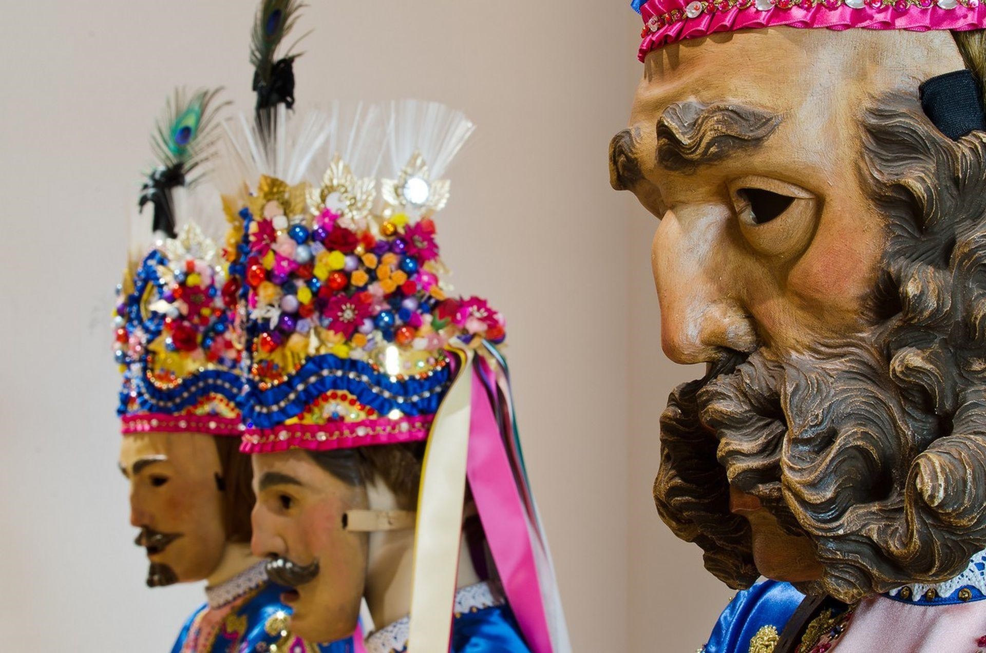
Fasnachtshaus Nassereith
A museum in Nassereith devoted to the village's Fasnacht carnival, displaying the carved masks and costumes of the Schellerlaufen.
Sinnes Waldrast
5.7 km away, in Tarrenz
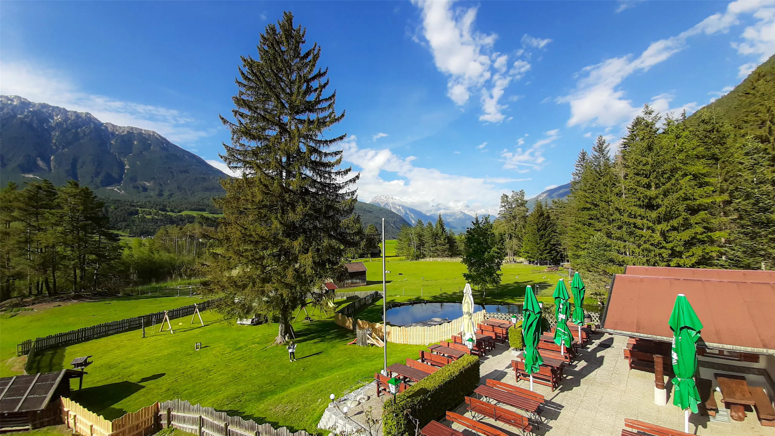
A forest inn above Tarrenz in the Imst region with restaurant service, a sun terrace and rooms for overnight guests.
Happis Hütte
8.8 km away, in Tarrenz
A hut above Tarrenz in the Imst region, reachable by bike, with a sun terrace and a menu that runs to ice cream and cakes.
Knappenwelt Gurgltal
9 km away, in Tarrenz
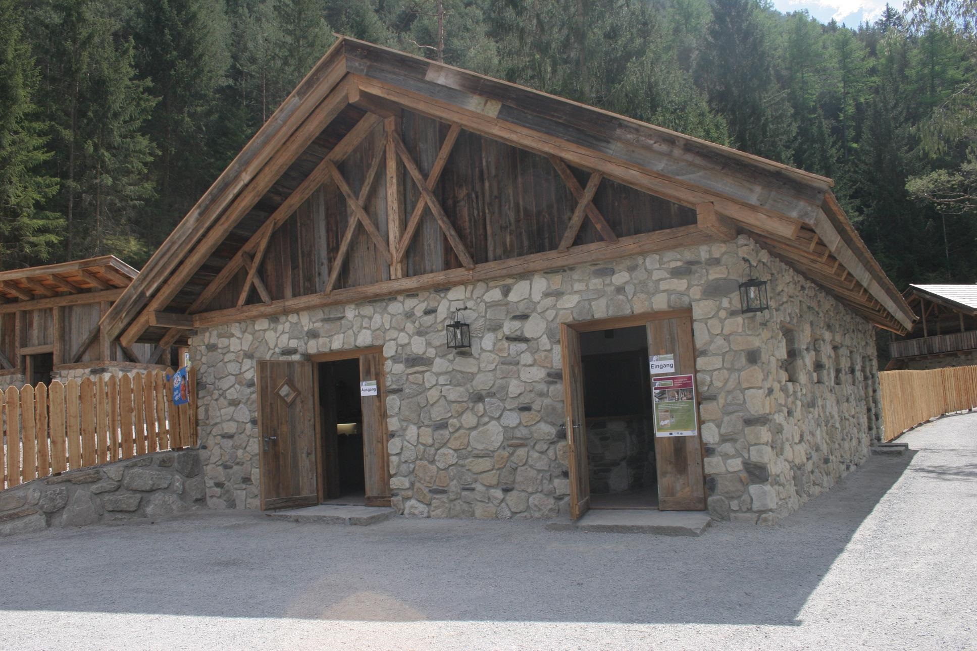
An open-air museum at Tarrenz reconstructing the medieval mining and ore-processing works of the Gurgltal miners.
Brauerei Schloß Starkenberg / Biermythos
9.2 km away, in Tarrenz
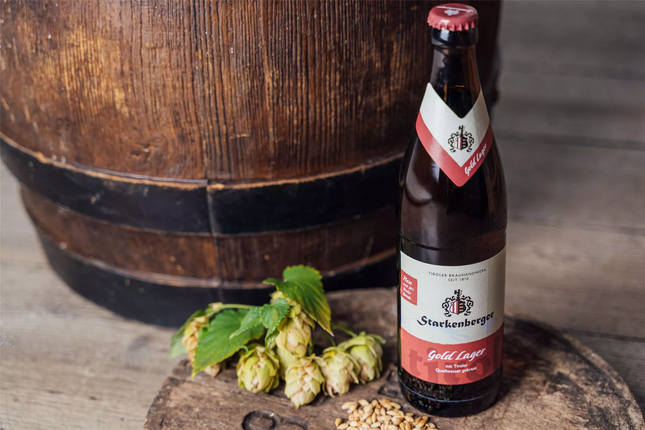
A brewery in Starkenberg castle at Tarrenz, where the Biermythos tour covers Tyrolean brewing history and offers tastings.
Geierwand
9.6 km away, in Haiming
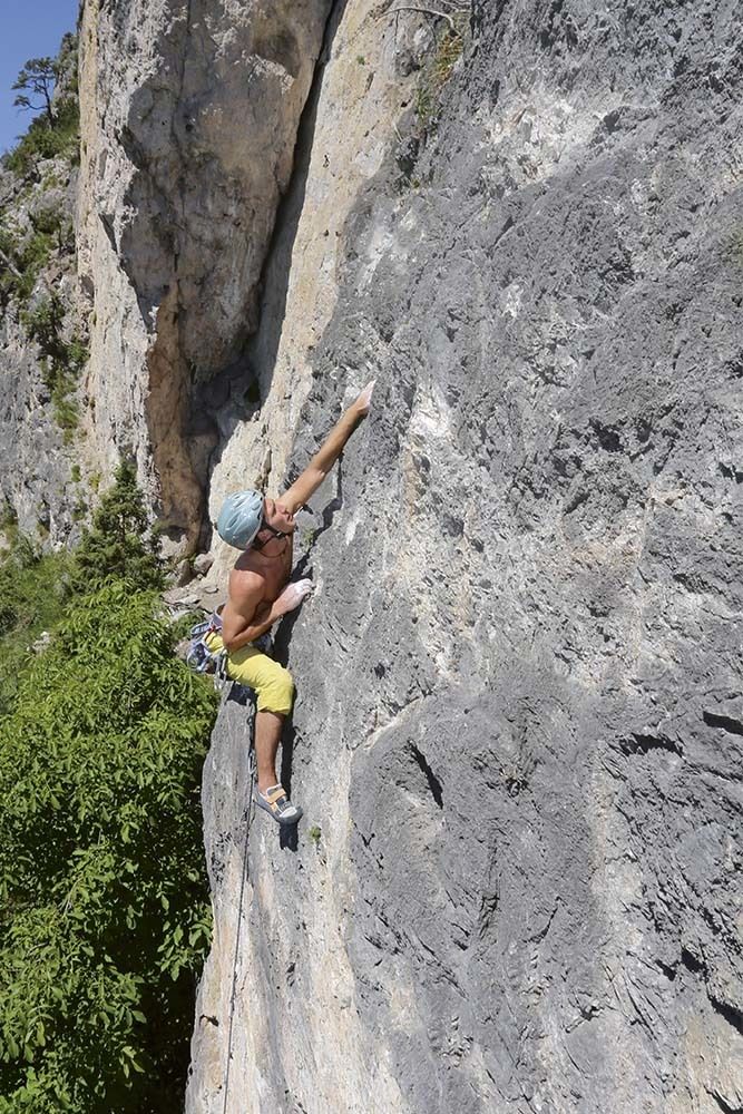
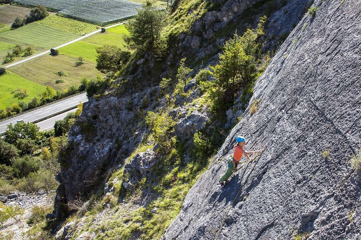
A sunny wall at 750 m above Haiming with well-protected multi-pitch routes, climbable most of the year but hot in summer.
KG Simmering
9.9 km away, in Haiming
A crag on the Simmering at 719 m with several sectors of well-protected single- and multi-pitch routes, most at the easier grades.
Area 47
12.1 km away, in Haiming
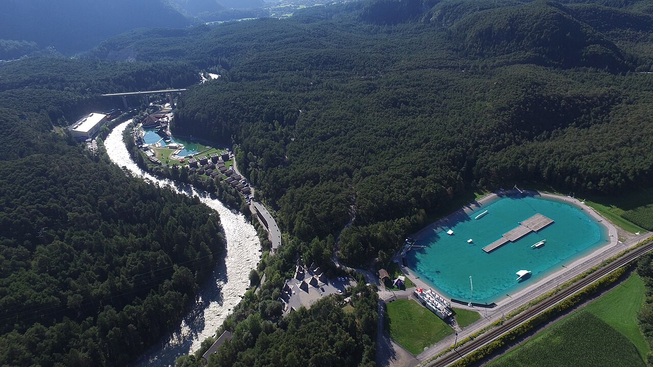
An outdoor adventure park at the mouth of the Ötztal near Ötztal-Bahnhof, combining a water play area with rafting, canyoning and climbing.
AREA47 - Indoor Bikepark
12.1 km away, in Haiming
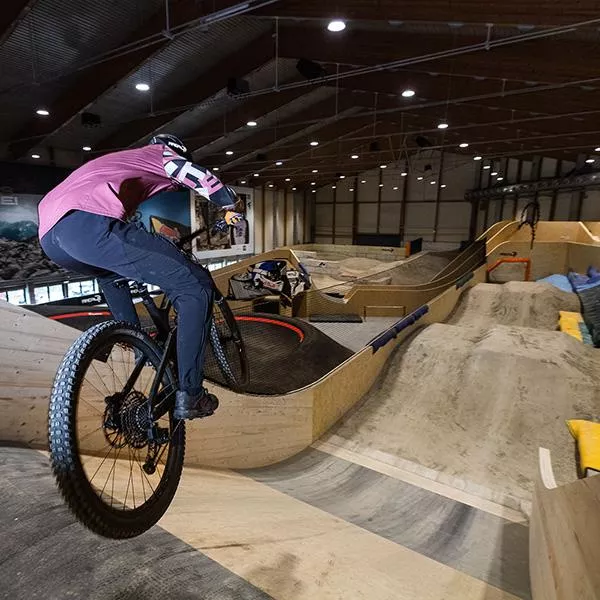
An indoor bike park at AREA47 near Ötztal-Bahnhof, with ramps and lines for riding practice in any weather and any season.
AREA47 - Water Area
12.1 km away, in Haiming
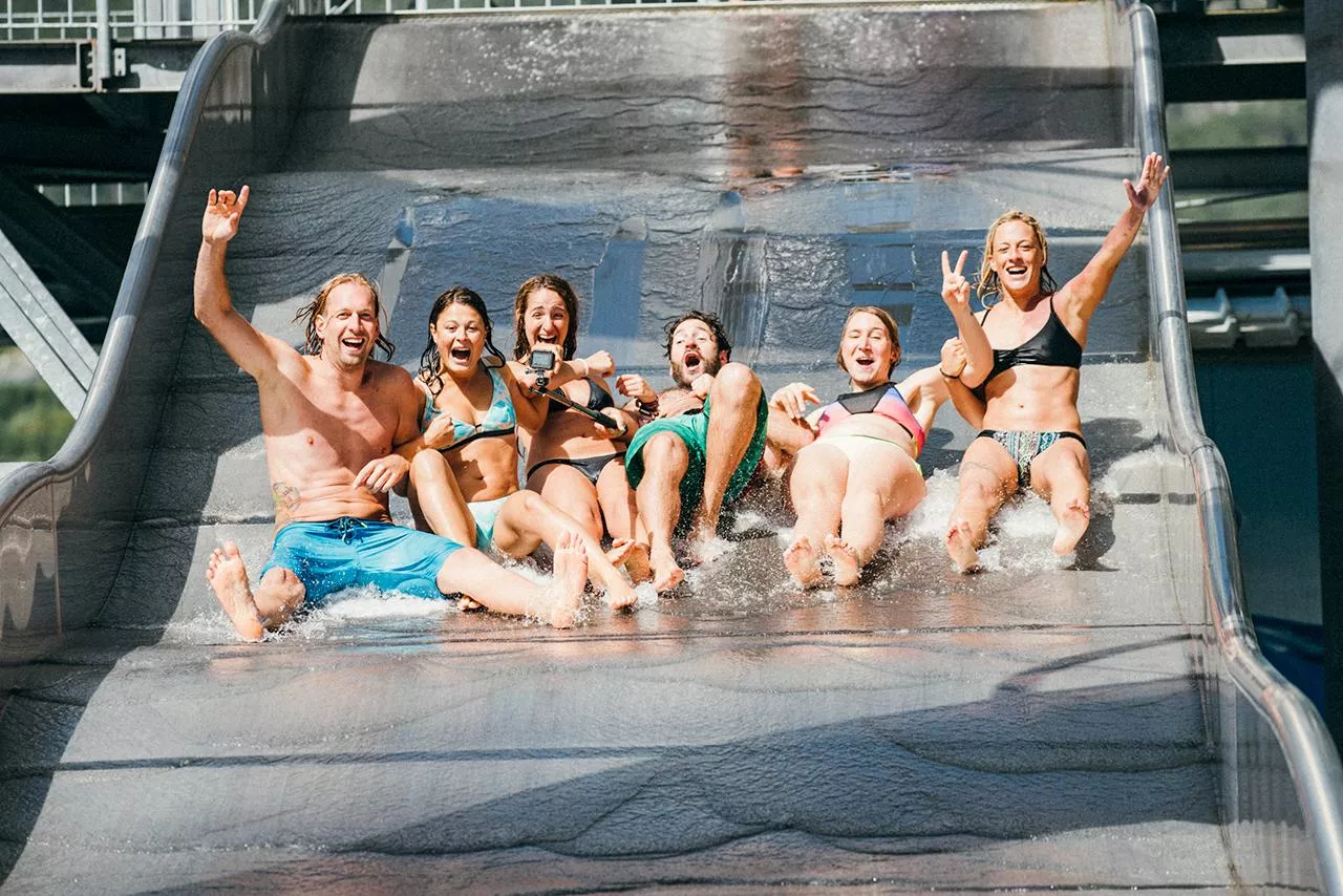
The water sports section of AREA47 at the mouth of the Ötztal, with slides, jumps and a bathing lake laid out for summer visitors.
Brunau
13.4 km away, in Haiming
A former quarry at 736 m near Haiming, sheltered enough to climb from spring to late autumn and a good place to start on rock.
Coburger Hütte
9.8 km away, in Mieming
An Alpine Club hut above the Seebensee near Ehrwald, set among the lakes of the Mieming range and a base for the Sonnenspitze.
Karröster Alm
10 km away, in Karrösten
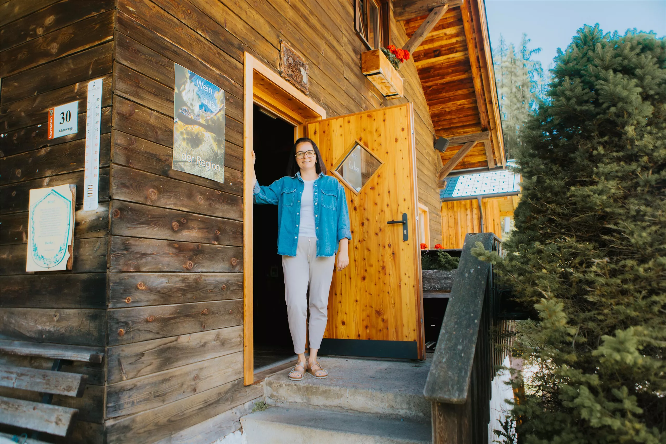
An alpine pasture above the village of Karrösten in the Imst region, serving walkers on the lower slopes of the Tschirgant.
Nothing of this kind in Nassereith.
Routes
50 routes, an even mix of activities · see the rest on imst.at ↗
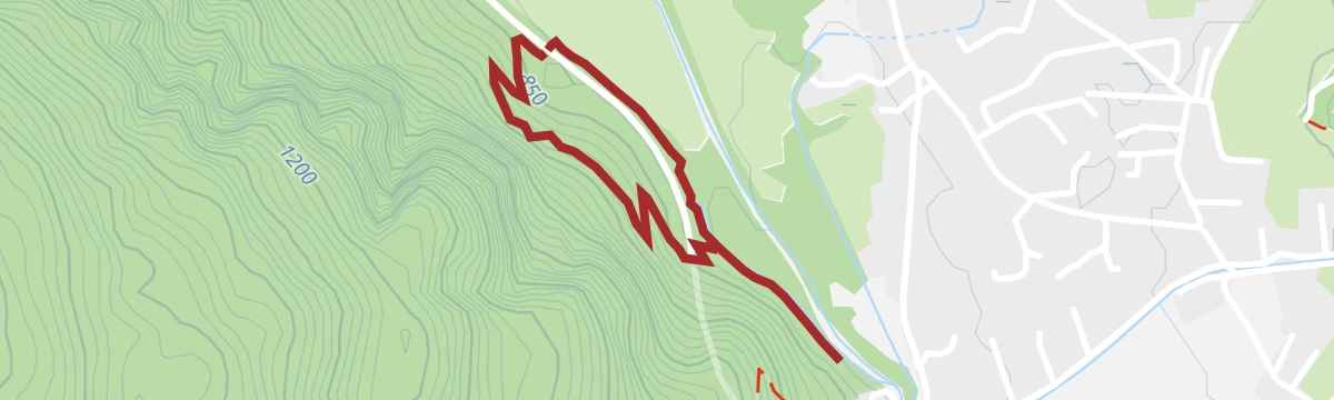
Leite Klettersteig / Nassereith
A south-facing via ferrata on the limestone slabs above the Tieftal, climbing without artificial footholds; the short approach and the demand on strength define it.
- 612 m
- Distance
- 77 m
- Ascent
- 23 min
- Duration
Fernstein - Fernpaßhöhe
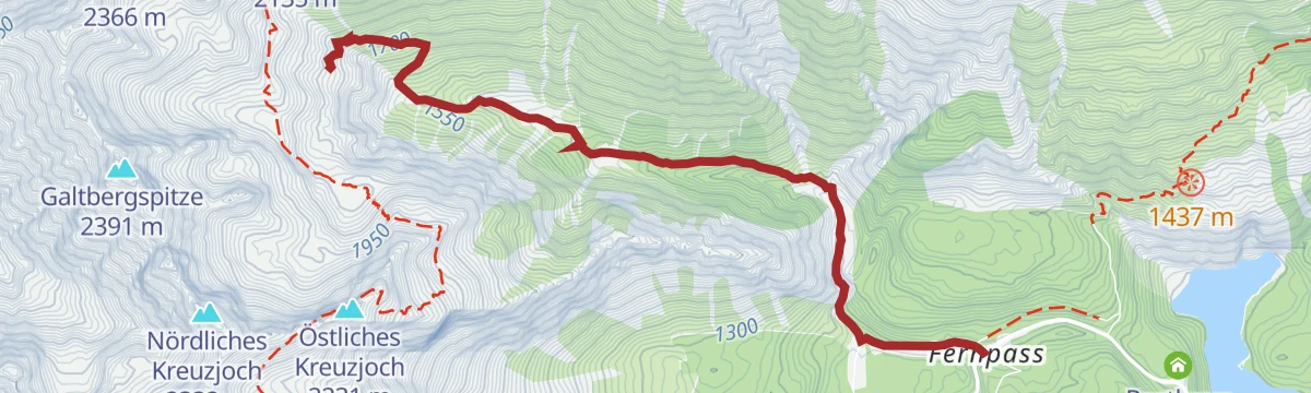
A 3.6 km climb from Schloss Fernstein to the top of the Fernpass, following the line of the old Roman road.
- 3.6 km
- Distance
- 279 m
- Ascent
- 1 h 21 min
- Duration
- 17
- Check-ins
Abschnitt 6: Nassereith - Fernpass
A 14.5 km stage from Nassereith up to the Fernpass below the Loreakopf, passing the Nassereither See and the Fernsteinsee.
- 14.5 km
- Distance
- 380 m
- Ascent
- 4 h 19 min
- Duration
- 20
- Check-ins
Adlerweg-Etappe 17: Ehrwald – Lorea Hütte
Long day from Ehrwald across the Fernpass to the Lorea Hütte, taking in the Blindsee, the Grubighütte and the deep lakes at Schloss Fernstein.
- 22.1 km
- Distance
- 2 191 m
- Ascent
- 11 h 37 min
- Duration
- 77
- Check-ins
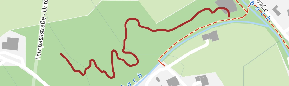
Flitz Flow Trail
A short, easy flow line in the trail area at Nassereith, running for barely 600 m and losing almost no height on the way down.
- 639 m
- Distance
- 0 m
- Ascent
- 4 min
- Duration
Marienbergalm (Nr. 605)
A steady climb on forest tracks from the Rossbach lifts to the high pasture at 1,622 m, passing a hunting lodge on the way.
- 9.7 km
- Distance
- 785 m
- Ascent
- 1 h 21 min
- Duration
- 10
- Check-ins
Wannig Runde | Marienbergjoch 23, 605, 835, R8, 610
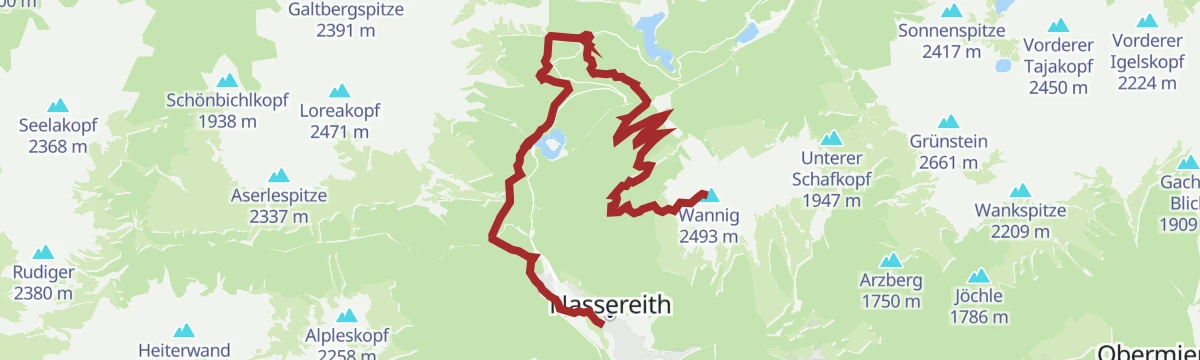
A long mountain-bike circuit from Nassereith past the Fernpass, climbing by the Marienbergalm and Sunnalm to the Marienbergjoch.
- 31.0 km
- Distance
- 1 247 m
- Ascent
- 3 h 56 min
- Duration
- 45
- Check-ins
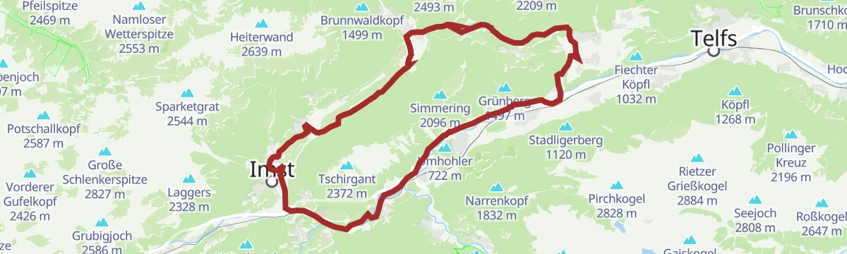
Tschirgantrunde
A road circuit around the massif between the Inn and Ötz valleys, climbing to Gasthaus Arzkasten before the run back down the river.
- 54.3 km
- Distance
- 986 m
- Ascent
- 5 h 45 min
- Duration
- 14
- Check-ins
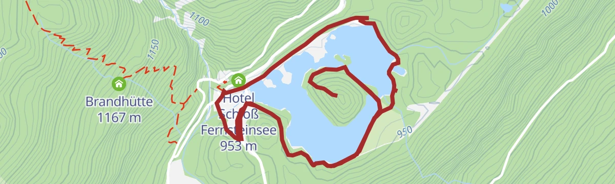
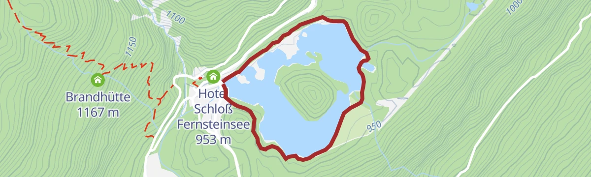
Fernsteinsee Runde
A near-level 4.5 km loop around the Fernsteinsee, past the castle hotel on its shore.
- 4.5 km
- Distance
- 69 m
- Ascent
- 1 h 11 min
- Duration
- 10
- Check-ins
Fernsteinsee - Nassereith
A 12.7 km walk between Nassereith and the Fernsteinsee following the St James's Way and the Via Claudia Augusta.
- 12.7 km
- Distance
- 140 m
- Ascent
- 3 h 19 min
- Duration
- 13
- Check-ins
Jakobsweg Etappe 2 Nassereith - Lermoos
Long St James Way stage from Nassereith over the Fernpass to Lermoos, passing Schloss Fernsteinsee before reaching the Zugspitze arena at Biberwier.
- 19.2 km
- Distance
- 673 m
- Ascent
- 6 h 10 min
- Duration
- 43
- Check-ins
Flitz Kids Trail
A very short and gentle practice trail for children at Nassereith in Tirol, half a kilometre long and almost completely level.
- 508 m
- Distance
- 0 m
- Ascent
- 3 min
- Duration
Lehnberg (Nr. 606)
A forest-road climb from Nassereith past Arzkasten to the mountain inn at 1,554 m, with the Rossbach lift near the start.
- 9.9 km
- Distance
- 709 m
- Ascent
- 1 h 18 min
- Duration
- 8
- Check-ins
Von Ehrwald nach Imst auf der Römerroute
A point-to-point ride over the Fernpass, passing the Fernsteinsee and Weißensee lakes on the old Roman road down towards Imst.
- 33.1 km
- Distance
- 469 m
- Ascent
- 3 h 27 min
- Duration
- 36
- Check-ins
Mieminger Plateau Runde
A near-100 km road round out of the Inn valley, climbing to the terrace villages above Mieming and past Gasthaus Arzkasten.
- 97.1 km
- Distance
- 1 138 m
- Ascent
- 9 h 41 min
- Duration
- 12
- Check-ins
Waldweg Schloss Fernstein und Fernsteinsee
A short forest path of 1.9 km beside Schloss Fernstein and the green water of the Fernsteinsee.
- 1.9 km
- Distance
- 30 m
- Ascent
- 31 min
- Duration
- 10
- Check-ins
Rundwanderweg Fernsteinsee
A 12 km circuit through woods around the Fernsteinsee, taking in the castles on its shores.
- 12.1 km
- Distance
- 155 m
- Ascent
- 3 h 12 min
- Duration
- 13
- Check-ins
Jakobsweg Anschlussweg: Nassereith - Lermoos
The second stage of a St James's Way link route, 18.5 km from Nassereith over the Fernpass to Lermoos by way of Biberwier.
- 18.5 km
- Distance
- 496 m
- Ascent
- 5 h 24 min
- Duration
- 38
- Check-ins
Flitz Up Trail
The uphill link of the Nassereith trail area, a short and easy climbing singletrack back to the start of the descents.
- 636 m
- Distance
- 10 m
- Ascent
- 4 min
- Duration
Tegestal (Nr. 633)
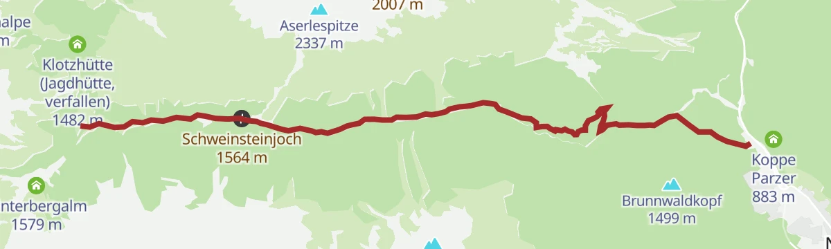
A steady forest-road climb above Nassereith to the Tarrentonalm, with the Schweinsteinjoch pass a little higher on the same track.
- 8.8 km
- Distance
- 706 m
- Ascent
- 1 h 17 min
- Duration
- 1
- Check-ins
Via Claudia Augusta
A long ride over the Fernpass at 1,215 m, passing the Weißensee and the lakes at Fernstein on the way down.
- 48.5 km
- Distance
- 685 m
- Ascent
- 4 h 50 min
- Duration
- 29
- Check-ins
Marienbergjoch
An easy 4.9 km walk across alm meadows to the Marienbergjoch, passing the Nassereither Alm.
- 4.9 km
- Distance
- 300 m
- Ascent
- 1 h 59 min
- Duration
- 5
- Check-ins
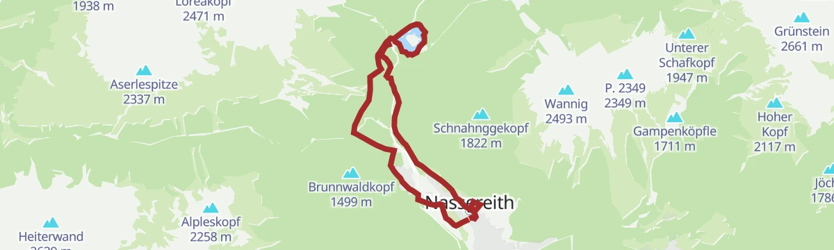
Seenwanderung
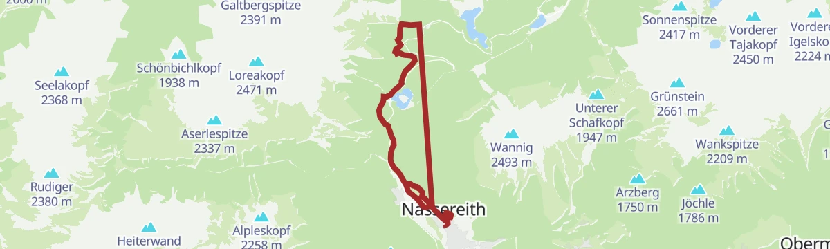
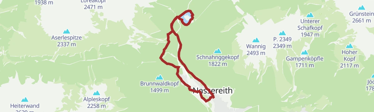
An easy-going 14 km circuit around Nassereith linking three lakes, from the Fernsteinsee past the Koppe Parzer to the Nassereither See, with barely 160 m of climbing.
- 14.0 km
- Distance
- 159 m
- Ascent
- 3 h 40 min
- Duration
- 12
- Check-ins
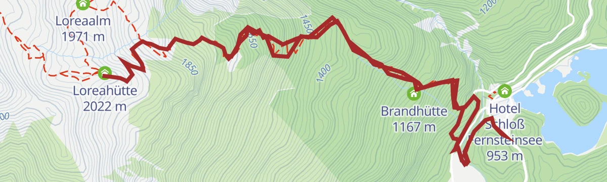
Loreahütte / Loreakopf
1,502 m of ascent in under 6 km past the Brandhütte and the Loreahütte to the Loreakopf, an alpine summit above the Fernpass.
- 5.9 km
- Distance
- 1 470 m
- Ascent
- 5 h 17 min
- Duration
- 21
- Check-ins
Bike & Hike Tour - Wannig 2.493 m
A hard climb from the Fernsteinsee to the Nassereither Alm at 1,734 m, the riding half of an ascent that carries on to the summit.
- 20.1 km
- Distance
- 1 790 m
- Ascent
- 3 h 6 min
- Duration
- 24
- Check-ins
Dormitz
Short, easy loop through the hamlet of Dormitz above Nassereith, level enough for an evening walk at just over 100 m of climb.
- 4.7 km
- Distance
- 87 m
- Ascent
- 1 h 19 min
- Duration
- 1
- Check-ins
Galtbergalm
A steady 660 m pull up from the Fernpass, away from the road and its traffic, to the pasture at the Galtbergalm.
- 4.9 km
- Distance
- 630 m
- Ascent
- 2 h 39 min
- Duration
- 8
- Check-ins
Adlerweg-Etappe 18: Lorea Hütte – Anhalter Hütte
One of the remotest Adlerweg stages: a steep, scree-laden pull to the Loreascharte at 2,315 m, then a sharp drop into the Heimbachtal before the Tarrentonalm and the Anhalter Hütte.
- 16.0 km
- Distance
- 1 269 m
- Ascent
- 8 h 10 min
- Duration
- 19
- Check-ins
Gurgltal-Fernsteinsee-Runde | Alternativ: Nassereither Alm
A long ride up the Gurgltal to the Fernsteinsee and the Fernpass, with a variant climbing to the Nassereither Alm at 1,734 m.
- 71.0 km
- Distance
- 1 261 m
- Ascent
- 7 h 27 min
- Duration
- 24
- Check-ins
Adlerhorstrunde Klein
Short meadow-and-forest loop above Nassereith, 3.6 km with about 200 m of climb to a lookout over the valley.
- 3.6 km
- Distance
- 205 m
- Ascent
- 1 h 26 min
- Duration
Adlerhorst
Rolling loop above Obsteig via Gasthaus Arzkasten and Gästehaus Fitsch to a lookout over the Gurgltal basin.
- 10.6 km
- Distance
- 326 m
- Ascent
- 3 h 18 min
- Duration
- 2
- Check-ins
Roter Stein
Demanding peak walk starting at the Fernpass rest stop, gaining nearly 1,200 m of height to the top of the Roter Stein.
- 7.9 km
- Distance
- 1 165 m
- Ascent
- 4 h 36 min
- Duration
- 12
- Check-ins
Gravelrunde Tschirgantmassiv
A gravel circuit right around the Tschirgant massif, passing the Rafting Alm on the Inn and the mouth of the Pitztal.
- 56.0 km
- Distance
- 691 m
- Ascent
- 5 h 37 min
- Duration
- 20
- Check-ins
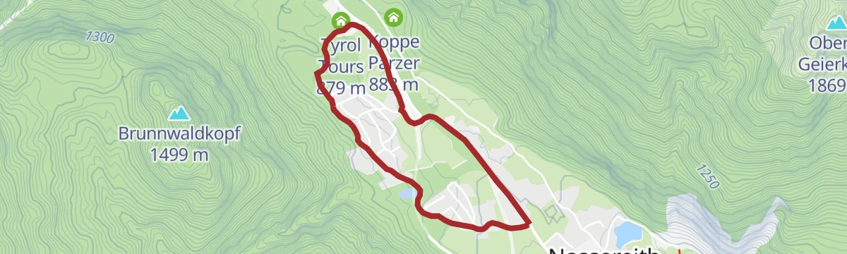
Alpenrosensteig Nassereith
Very short and nearly level family circuit on the slopes at Nassereith, 1.8 km with under 60 m of climb.
- 1.8 km
- Distance
- 49 m
- Ascent
- 33 min
- Duration
Adlerhorstrunde Groß
Longer circuit above Nassereith, 12 km through meadows and woodland with a moderate 345 m of ascent and repeated views down the valley.
- 12.1 km
- Distance
- 391 m
- Ascent
- 3 h 47 min
- Duration
- 1
- Check-ins
Loreahütte
Forest climb from the Fernsteinsee that gains close to 1,100 m by way of the Brandhütte before reaching the Loreahütte.
- 9.0 km
- Distance
- 1 087 m
- Ascent
- 6 h 29 min
- Duration
- 9
- Check-ins
Tschirgantrunde
A circuit of the Tschirgant on valley tracks, passing the Weiße Haus, Camping Rossbach and the turn-off into the Pitztal.
- 56.0 km
- Distance
- 691 m
- Ascent
- 5 h 37 min
- Duration
- 20
- Check-ins
Dorfrunde Nassereith
Flat village circuit at Nassereith taking in the Nassereither See and the meadows around it, 4.5 km with almost no climbing.
- 4.5 km
- Distance
- 63 m
- Ascent
- 1 h 13 min
- Duration
St. Wendelin - Kohlstattsee
Woodland route of 12.7 km climbing 715 m from St. Wendelin by way of Kohlstatt to the quiet water of the Kohlstattsee.
- 12.7 km
- Distance
- 715 m
- Ascent
- 5 h 3 min
- Duration
- 1
- Check-ins
 Kohlstatt 1 528 m
Simmeringalm
A steep, shaded haul from Dormitz that packs more than 1,000 m of climb into under 4 km before opening out at the Simmeringalm.
- 3.8 km
- Distance
- 950 m
- Ascent
- 3 h 31 min
- Duration
- 6
- Check-ins
Imster Radmarathon | Panoramarunde (Jubiläum)
A long tour out of Imst over the Holzleitensattel at 1,119 m, looping back down the Inn valley past the mouth of the Pitztal.
- 79.5 km
- Distance
- 727 m
- Ascent
- 7 h 45 min
- Duration
- 14
- Check-ins
Dormitz Runde
Easy 4.9 km round over the open meadows at Dormitz, nearly level and walkable when there is snow on the ground.
- 4.9 km
- Distance
- 56 m
- Ascent
- 1 h 18 min
- Duration
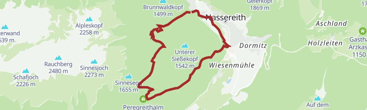
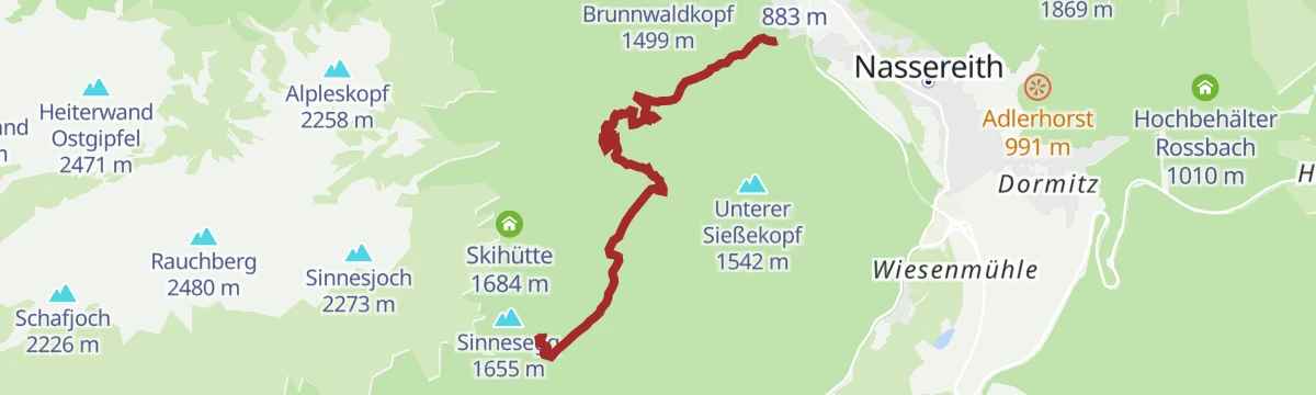
von Nassereith nach Sinnesbrunn
Uphill walk of 5.7 km from Nassereith through forest and past Kohlstatt to the pilgrimage site of Sinnesbrunn, nearly 700 m higher.
- 5.7 km
- Distance
- 680 m
- Ascent
- 2 h 54 min
- Duration
- 1
- Check-ins
- Kohlstatt 1 528 m
Simmeringalm über Holzleiten
Longer approach to the Simmeringalm starting from Holzleiten, 9.6 km with over 1,000 m of climb and wide views from the pasture.
- 9.6 km
- Distance
- 977 m
- Ascent
- 4 h 18 min
- Duration
- 6
- Check-ins
Gravelrunde von Imst zum Fernsteinsee
A gravel run north through the Gurgltal from Imst to the Fernsteinsee, reaching the lake at the Hotel Schloß Fernsteinsee and its campsite.
- 38.4 km
- Distance
- 284 m
- Ascent
- 3 h 40 min
- Duration
- 13
- Check-ins
Rastland Runde
Short and almost level 3.5 km loop near Nassereith, an option for a slow hour on the valley floor with barely 50 m of climb.
- 3.5 km
- Distance
- 45 m
- Ascent
- 55 min
- Duration
Wannig
Long ascent from Nassereith by way of the Nassereither Alm to the Wannig, 1,715 m of climb usually split over two days with a night at the alm.
- 14.8 km
- Distance
- 1 688 m
- Ascent
- 10 h 11 min
- Duration
- 5
- Check-ins
Tschirgantrunde mit dem Rennrad
A round of the Tschirgant crossing the Holzleitensattel at 1,119 m, with the return along the floor of the Inn valley.
- 51.8 km
- Distance
- 683 m
- Ascent
- 5 h 14 min
- Duration
- 12
- Check-ins
Bummelbär
A long 26.9 km round through the Gurgltal with barely 220 m of climbing, taking in the Kropfsee, the Brenjursee fishing hut and Happi's Hütte.
- 26.9 km
- Distance
- 214 m
- Ascent
- 6 h 46 min
- Duration
- 4
- Check-ins
 Brenjursee Fischerhütte 786 m
- Happi`s Hütte 784 m
- Kropfsee 798 m
Muthenaualm (Nassereither Alm) Nr. 610
A steep haul up from the Fernpass road to the alm at 1,734 m, a thousand metres of climbing in only 8 km of forest track.
- 8.0 km
- Distance
- 1 003 m
- Ascent
- 1 h 36 min
- Duration
- 11
- Check-ins
No routes of this kind in Nassereith yet.
The region's own picks
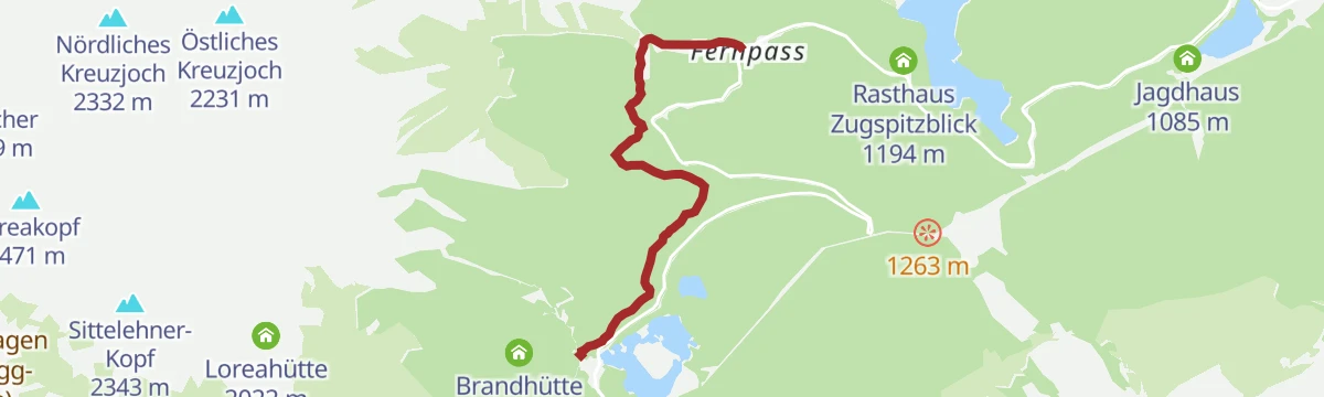
Featured route
Fernstein - Fernpaßhöhe
A 3.6 km climb from Schloss Fernstein to the top of the Fernpass, following the line of the old Roman road.
Planning a trip to Nassereith?
Everything else Tyrol has, in one place


Take Nassereith with you into the mountains
Every route on this page with 3D terrain, GPX navigation and offline maps — including the valleys with no signal.
Data sources
- Official website: imst.at ↗
- Routes and highlights: Imst Tourismus, Climbers Paradise *Neu*, Innsbruck Tourismus, St. Anton am Arlberg, Tirol Werbung, Region Seefeld, Tannheimer Tal, Serfaus-Fiss-Ladis
- Published as open data by the tourist boards named above.
- Region summary generated from the board's own material.
