
Curated by Lechtal Tourismus
Namlos
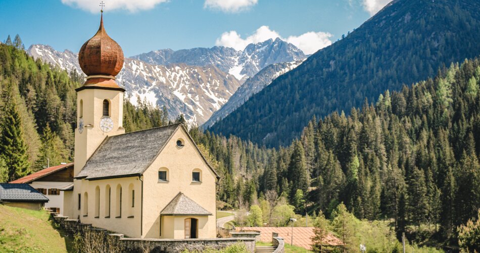
A 55-person village on a lonely high road between the Lechtal and Berwang, at about 1230 m under the Namloser Wetterspitze.
- 1Highlights
- 8Routes
Highlights
14 from neighbouring places
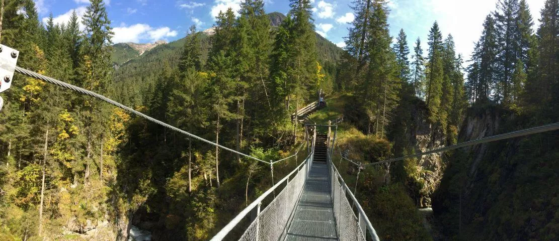
Hängebrücke Fallerschein
A suspension footbridge on the path network around Fallerschein, spanning a stream gorge in the mountains above Stanzach.
Sennerstüberl Fallerschein 1.302 m
3.4 km away, in Stanzach
An alm parlour at 1,302 m in Fallerschein, the old log-hut settlement above Stanzach, serving regional dishes to summer visitors.
Michls Fallerscheinstube 1.302 m
3.4 km away, in Stanzach
An alm restaurant at 1,302 m in Fallerschein, a historic log-hut village above Stanzach, serving regional dishes in the summer months.
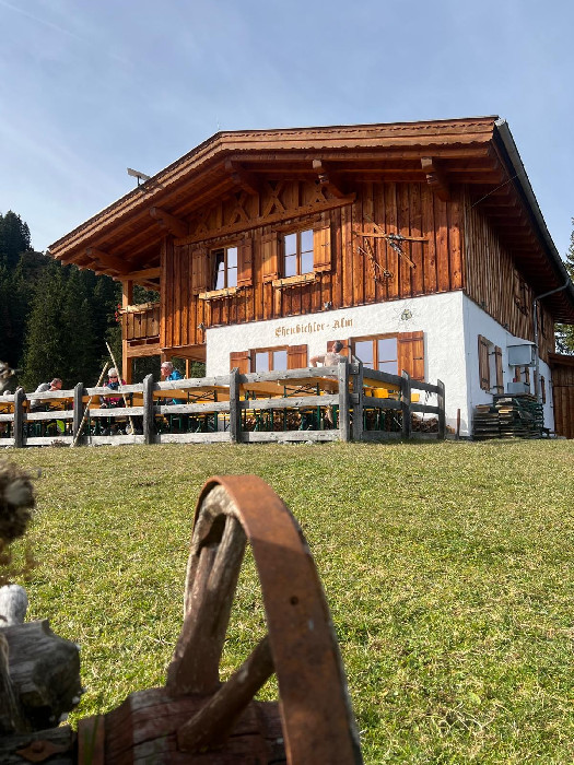
Ehenbichler Raaz-Alm
4.8 km away, in Reutte
A high pasture near Berwang neighbouring the Ehenbichler Alm, where cattle graze in summer and walkers find simple refreshment.
Ehenbichler Alm
4.8 km away, in Reutte
A managed pasture hut in the mountains south of Reutte, open to walkers and mountain bikers during the summer months.
Klettergarten Heiterwand
6.6 km away, in Imst
A climbing area on the Heiterwand, a long rock wall of the Lechtal Alps reached from the Bschlabs side, with bolted routes.
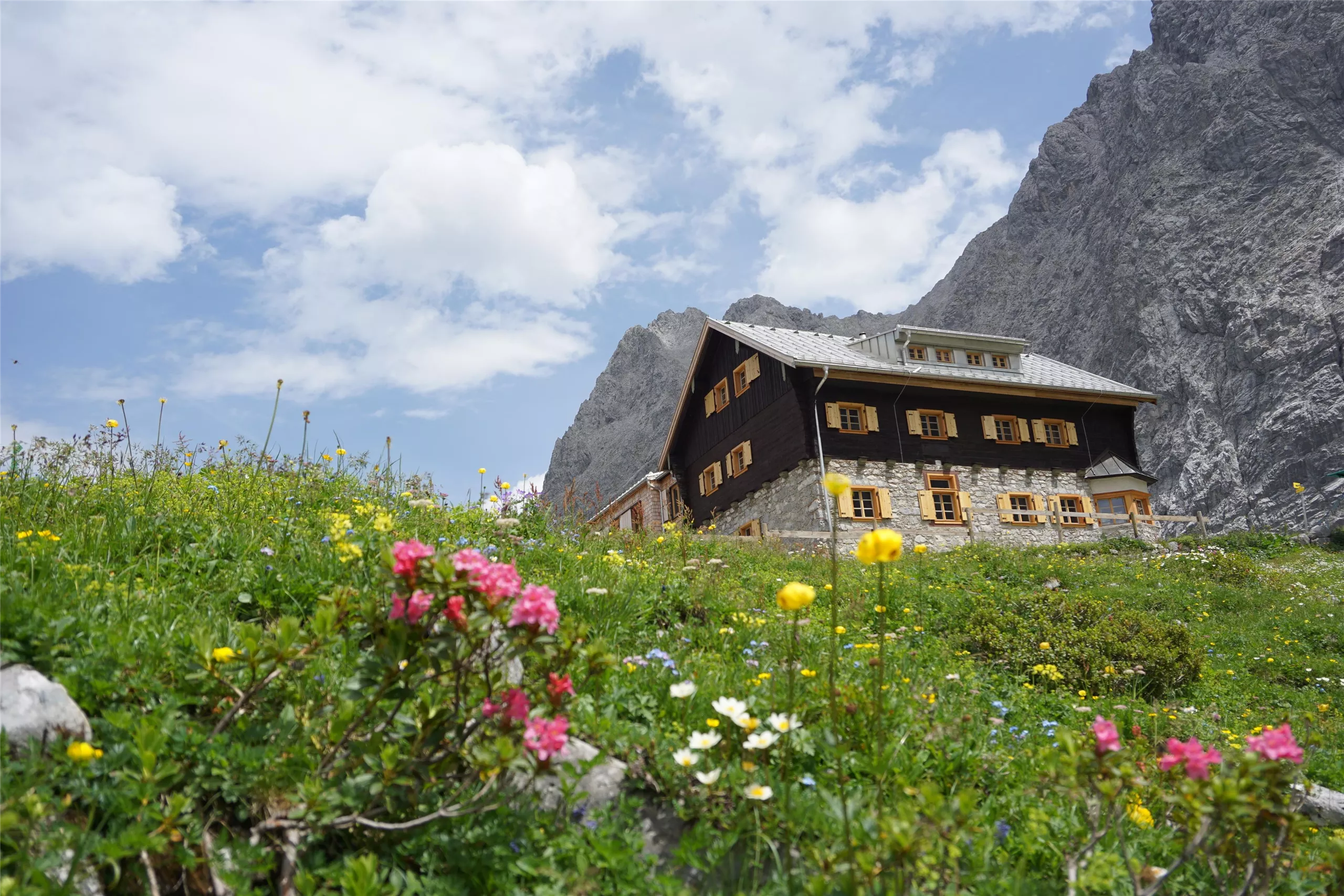
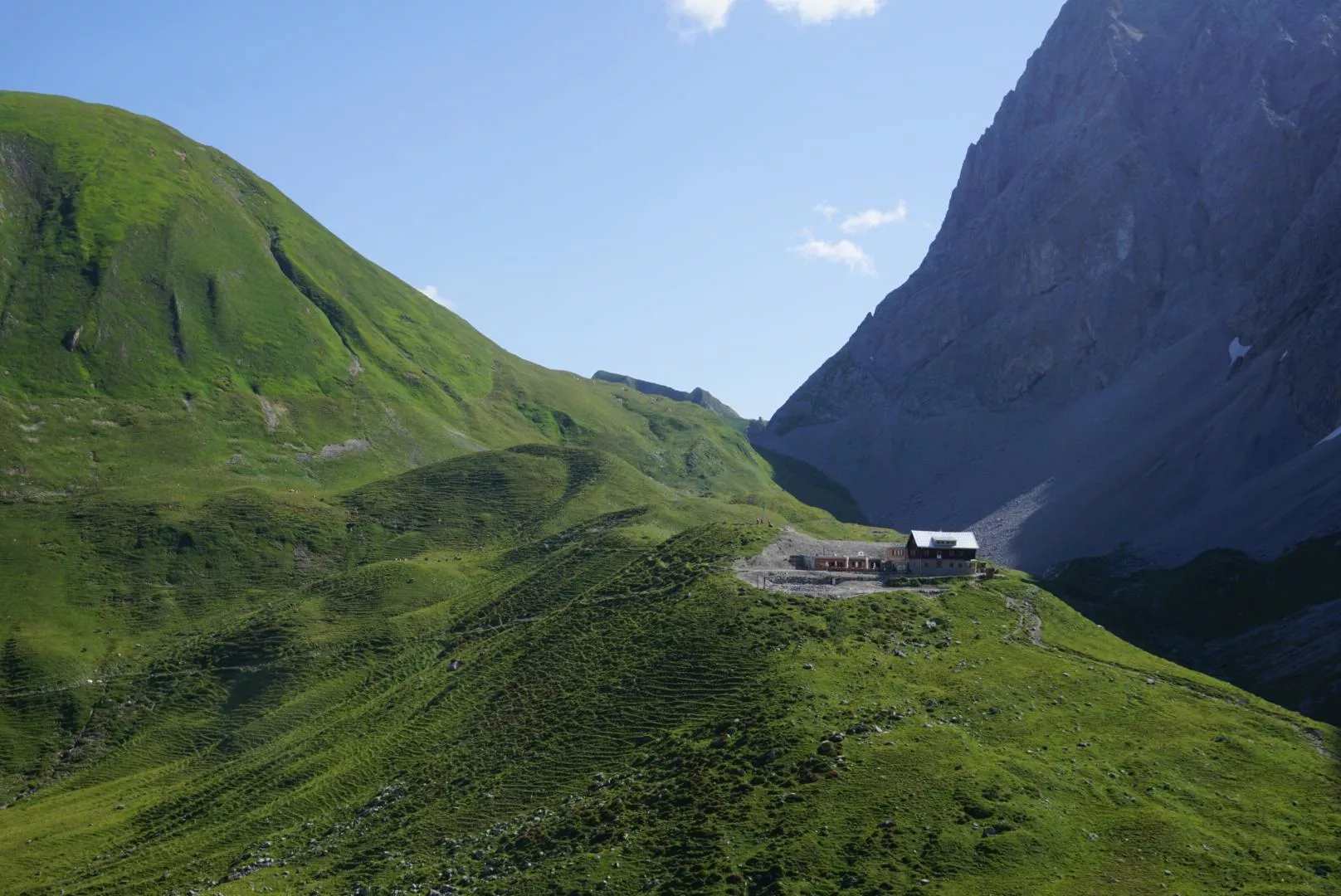
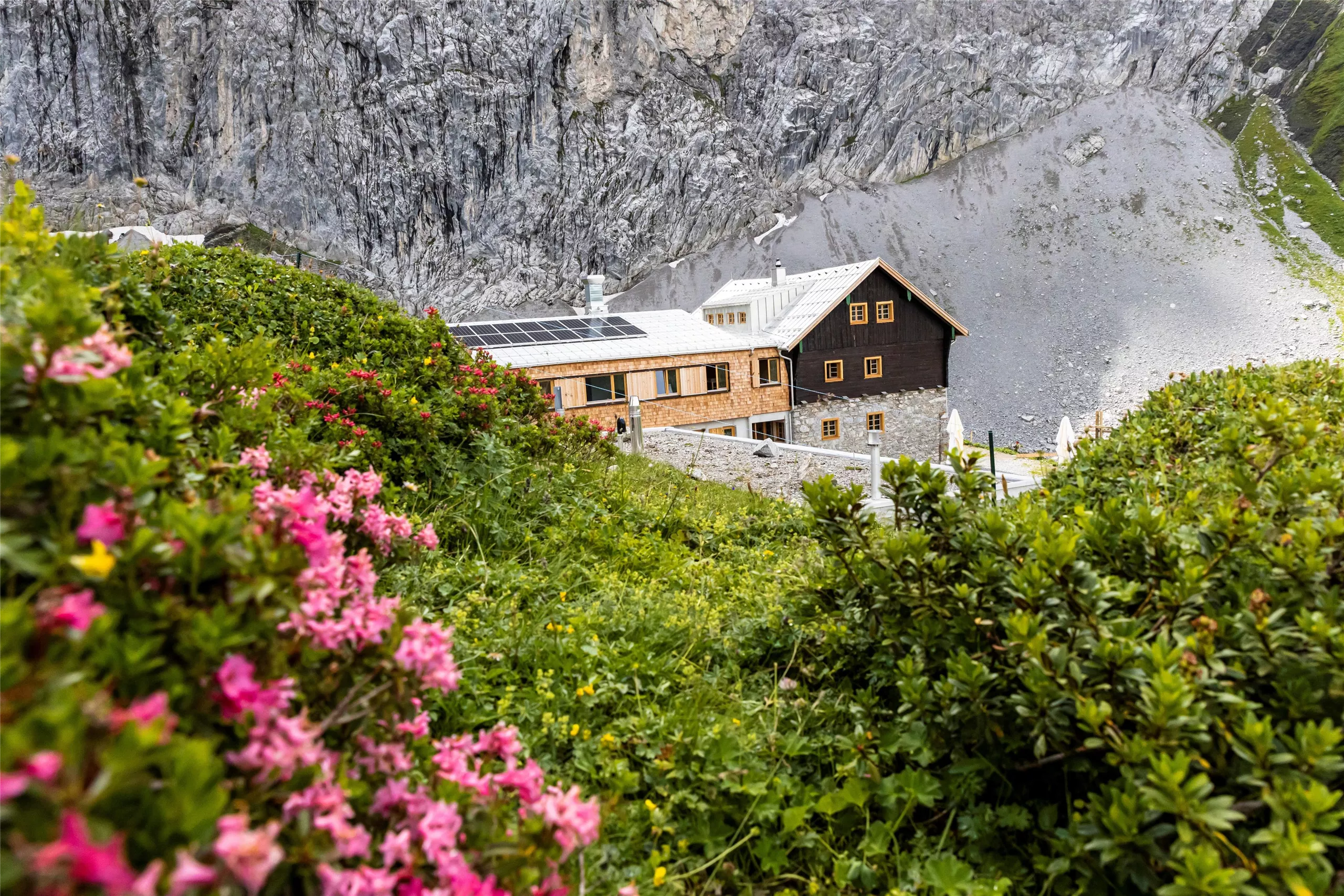
Anhalter Hütte 2.040 m
6.6 km away, in Imst
An alpine club refuge at 2,040 m below the Heiterwand near Pfafflar, a base for crossings and summits in the eastern Lechtal Alps.
Anhalter Hütte
6.7 km away, in Imst
An alpine club hut in the Lechtal Alps reached from the Hahntennjoch road near Imst, offering meals and overnight beds.
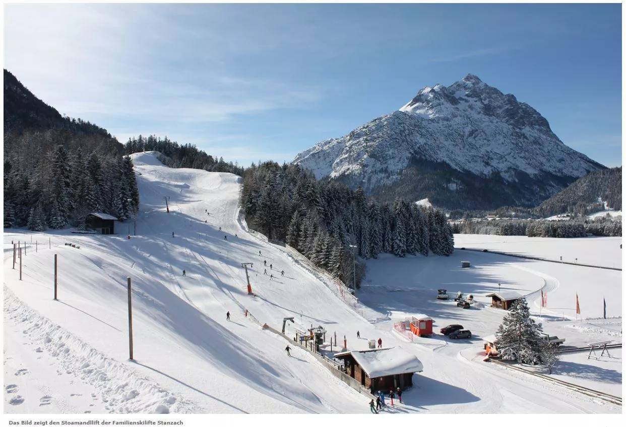
Skilift Stanzach - Stoamandllift
7.4 km away, in Stanzach
A village ski lift at Stanzach in the Lechtal, its name taken from Stoamandl, the dialect word for a stone cairn figure.
Skilifte Stanzach - Übungslift
7.4 km away, in Stanzach
A practice ski lift at Stanzach, serving the village nursery slope for beginners in the middle Lechtal at 940 m.
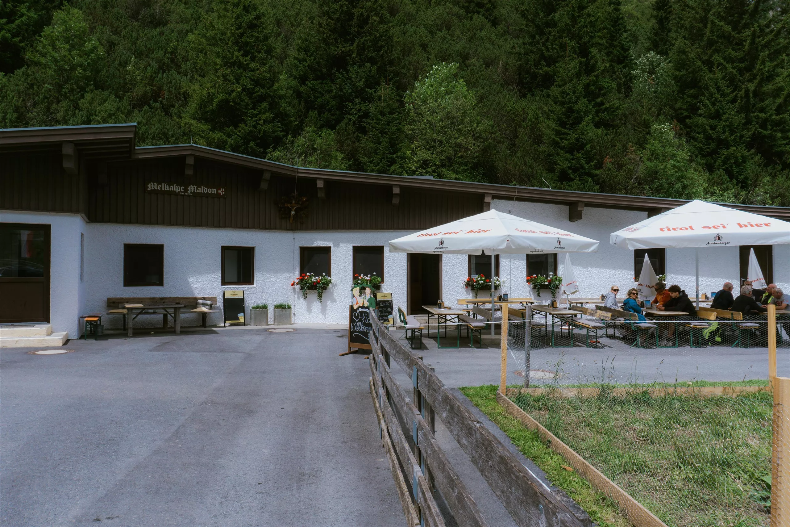
Maldonalm
8.1 km away, in Imst
An alpine pasture hut in the mountains northwest of Imst (827 m), reached on foot from the town and its surrounding valleys.
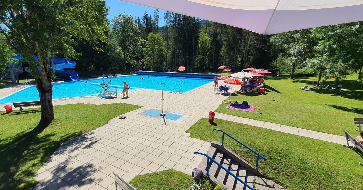
Erlebnis-Freibad Weißenbach
8.6 km away, in Reutte
The outdoor swimming pool of Weissenbach am Lech, with pools, slides and lawns for families during the summer season.
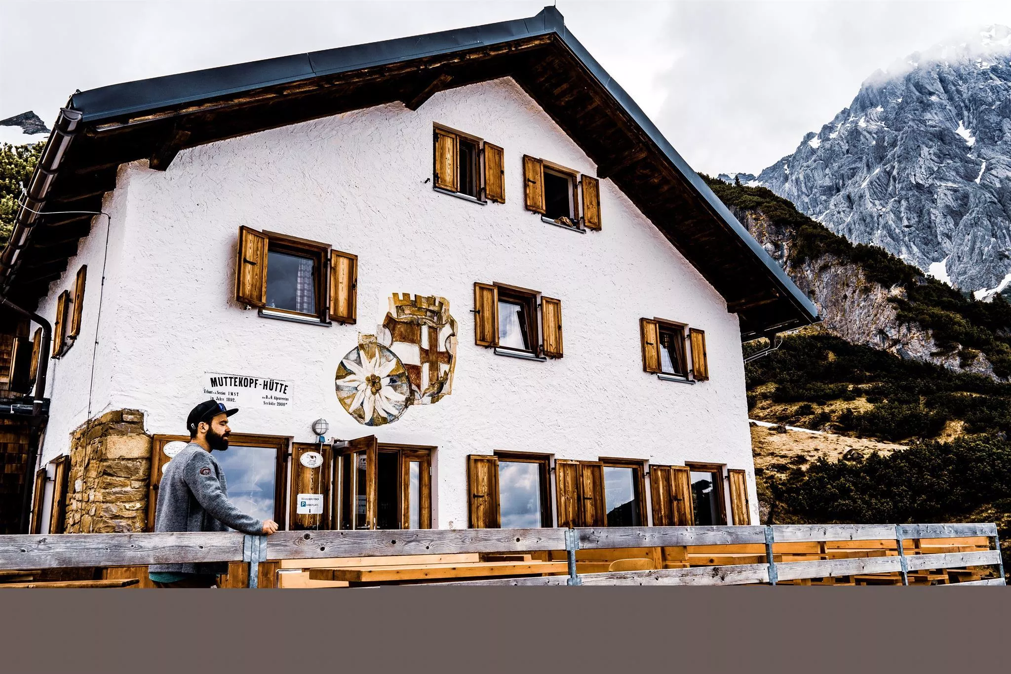
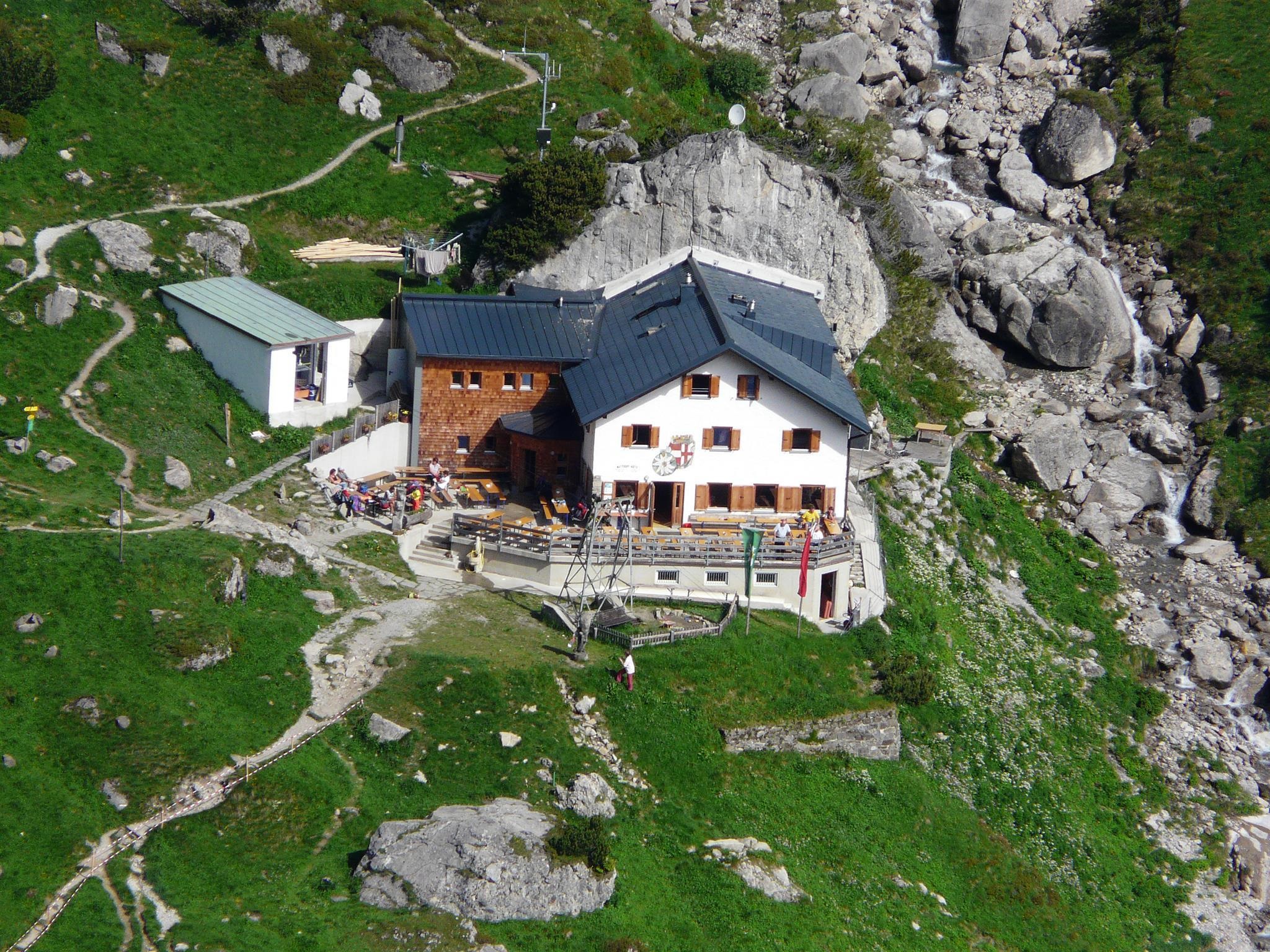
Muttekopfhütte 1.934 m
11 km away, in Imst
An alpine club refuge at 1,934 m below the Muttekopf, a base for climbing and walking in the reddish rock scenery of the eastern Lechtal Alps.
Muttekopfhütte
11 km away, in Imst
A mountain hut above Imst below the Muttekopf in the Lechtal Alps, offering meals and overnight beds for climbers and walkers.
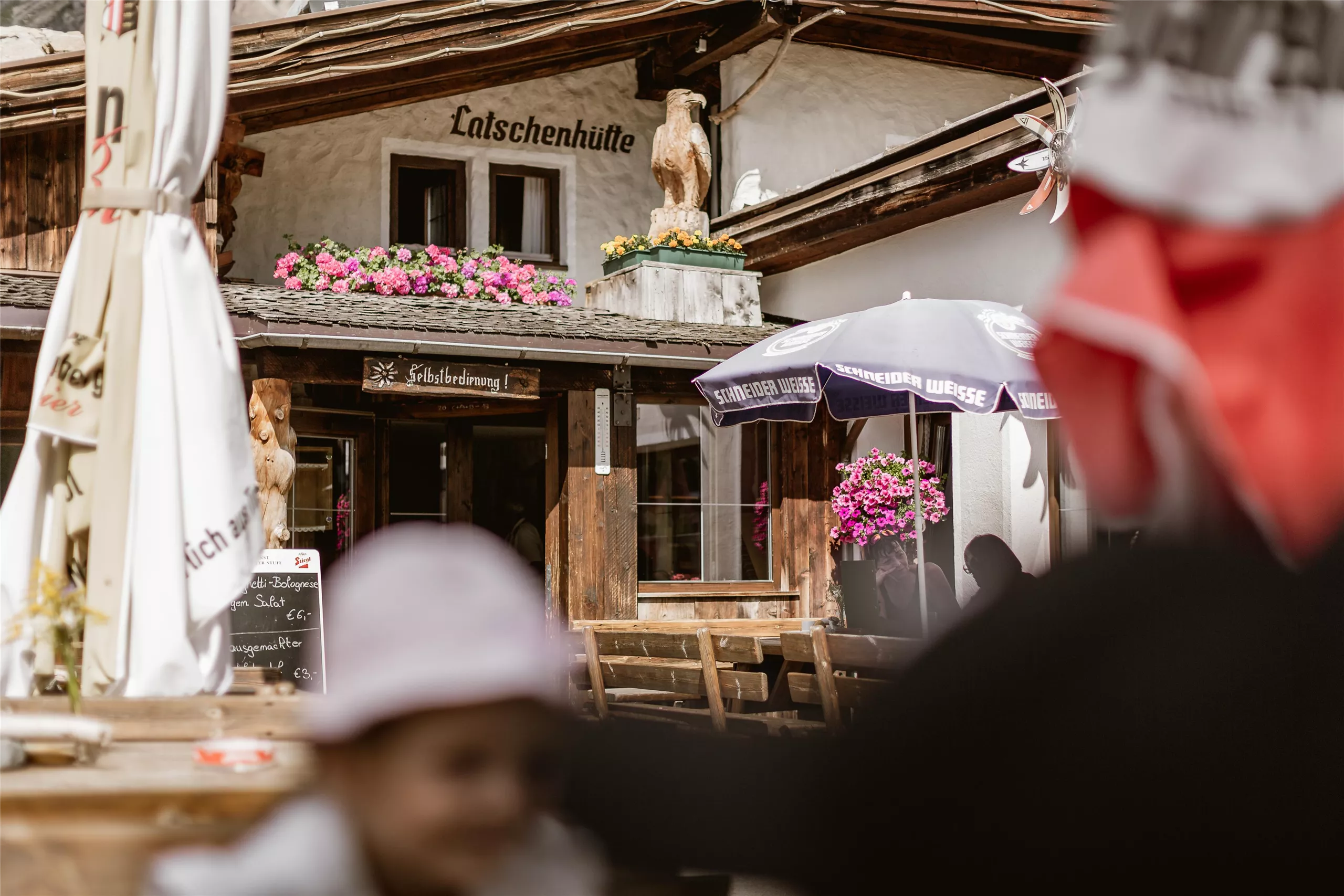
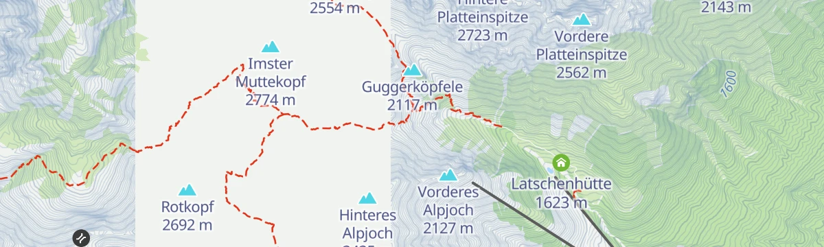
Latschenhütte
11.7 km away, in Imst
A mountain hut in the dwarf-pine zone above Imst (827 m), a stop on walks into the Muttekopf area of the Lechtal Alps.
 Viewpoint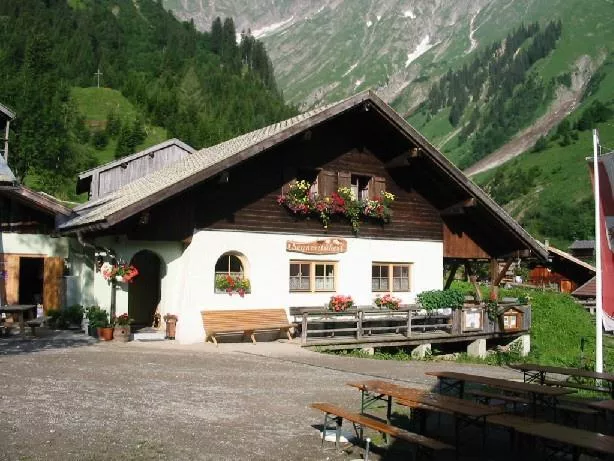
 Mountain hut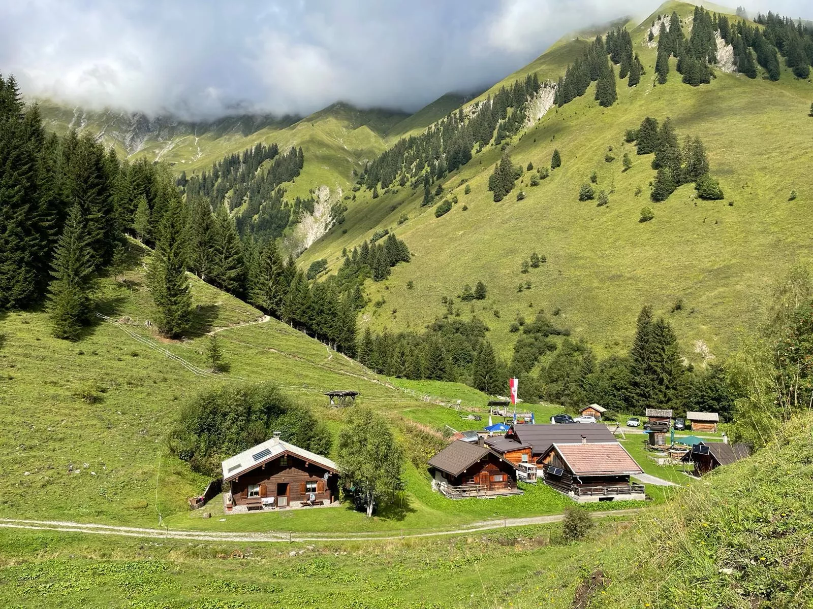
 Cable car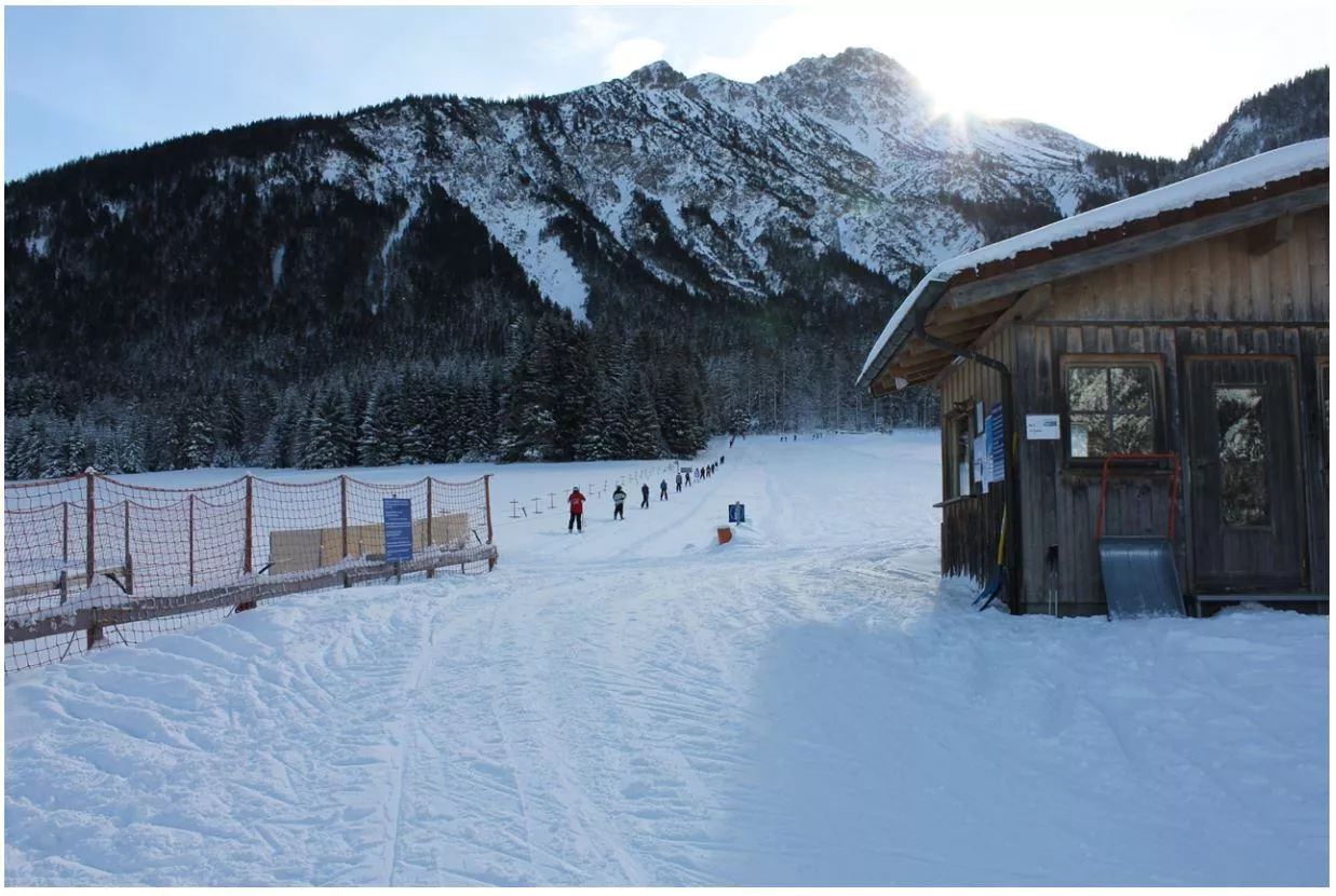
Nothing of this kind in Namlos.
Routes
12 from neighbouring places
Namlos - Fallerschein
Child-friendly walk from Namlos to Fallerschein, the largest alm hamlet in Tirol, where Michl's Fallerscheinstuben serves hungry hikers.
- 3.8 km
- Distance
- 119 m
- Ascent
- 1 h 7 min
- Duration
- 6
- Check-ins
Namlos - Anhalter Hütte
From Namlos over the Faselfeiljöchel to the Anhalter Hütte, a steady 850 m climb past the Faselfeiljagdhütte into open high country.
- 8.0 km
- Distance
- 853 m
- Ascent
- 3 h 39 min
- Duration
- 12
- Check-ins
Gravelbike Tour 4.1 - Berwanger Talrunde
A long gravel-road circuit through the Berwanger Tal and down towards the Lech, passing below the Thanellerkar and by the Baggersee.
- 54.1 km
- Distance
- 834 m
- Ascent
- 5 h 35 min
- Duration
- 29
- Check-ins
Namlosrunde
A long road circuit from Reutte through the Tannheimer Tal past the Haldensee, crossing the Vils–Lech watershed on the way home.
- 87.1 km
- Distance
- 1 713 m
- Ascent
- 9 h 21 min
- Duration
- 85
- Check-ins
Stanzach (Abzweigung Namloserstraße) - Almdorf Fallerschein
The shortest way into Fallerschein: an easy two-kilometre forest track from the Namloser Straße turnoff to Tirol's largest alm village.
- 2.2 km
- Distance
- 96 m
- Ascent
- 40 min
- Duration
- 6
- Check-ins
Stanzach-Jägersteig-Fallerschein
High-path route from Stanzach along the Jägersteig to the alm village of Fallerschein, with a stop possible at Michl's Fallerscheinstuben.
- 11.3 km
- Distance
- 640 m
- Ascent
- 3 h 55 min
- Duration
- 6
- Check-ins
Gravelbike Tour 4.1 - Berwanger Talrunde
A gravel loop through the Berwang valley from Reutte, climbing past the Thanellerkar and the Rastkopf huts to the Schwarzes Kreuz.
- 54.1 km
- Distance
- 1 175 m
- Ascent
- 5 h 54 min
- Duration
- 29
- Check-ins
Stanzach - Jägersteig nach Namlos
A sunny hunters' path traversing the flank of the Namlosertal from Stanzach to Namlos, past the G.-Schretter-Hütte; narrow in places and best left to sure-footed walkers.
- 10.2 km
- Distance
- 552 m
- Ascent
- 3 h 29 min
- Duration
Abzweigung Namloserstraße - Fallerschein - Namloser Wetterspitze - Anhalter Hütte
2.1 km away, in Stanzach
Committing round from the Namloser Straße turnoff via Fallerschein toward the Namloser Wetterspitze and the Anhalter Hütte, crossing the Grubigjoch — 1,500 m of climbing.
- 12.4 km
- Distance
- 1 505 m
- Ascent
- 7 h 23 min
- Duration
- 21
- Check-ins
Skitour auf den Elmer Muttekopf
5.5 km away, in Stanzach
Ski tour onto the Elmer Muttekopf through the north-facing Schafkar, which holds cold powder well; the upper slopes face southeast and catch the midwinter sun.
- 3.8 km
- Distance
- 1 199 m
- Ascent
- 0 m
- Descent
- 3 h 1 min
- Duration
Almdorf Fallerschein
7.9 km away, in Stanzach
A short forest-road climb out of the Lech valley to the alm hamlet at 1,300 m, with a wildlife observation point beside the track.
- 11.3 km
- Distance
- 348 m
- Ascent
- 1 h 13 min
- Duration
- 7
- Check-ins
Wasserfallklettersteig
11.2 km away, in Imst
A short modern sport via ferrata close to the Muttekopfhütte, with only 24 m of climbing on the route itself.
- 44 m
- Distance
- 24 m
- Ascent
- 6 min
- Duration
Sinnesbrunn
12.6 km away, in Tarrenz
Snowshoe route of 3.9 km and 475 m of climb following the old pilgrims' path up to Sinnesbrunn, with the Gasthof Waldrast on the way.
- 3.9 km
- Distance
- 501 m
- Ascent
- 0 m
- Descent
- 1 h 33 min
- Duration
- 2
- Check-ins
Hachleschlucht (Nr. 619)
12.7 km away, in Tarrenz
A short, easy waymarked forest track running up the gorge above Tarrenz in the Tyrolean Gurgltal.
- 3.5 km
- Distance
- 222 m
- Ascent
- 30 min
- Duration
Klettersteig Köllenspitze
14.9 km away, in Nesselwängle
Serious via ferrata on the Köllenspitze, highest summit of the Tannheim group, climbing from the Gimpelhaus side by the Nesselwängler Scharte.
- 8.9 km
- Distance
- 1 173 m
- Ascent
- 8 h 38 min
- Duration
- 79
- Check-ins
Von Rinnen zur Ehenbichler Alm | MTB Tour
5.1 km away, in Berwang
A forest-road climb from Rinnen past the Rotlech waterfall to two alpine pastures at around 1,700 m above Berwang.
- 17.8 km
- Distance
- 797 m
- Ascent
- 2 h 20 min
- Duration
- 9
- Check-ins
Anhalter Hütte - Bushaltestelle Plötzigtal
6.7 km away, in Imst
The descent west from the Anhalter Hütte through the Plötzigtal to a bus stop on the Hahntennjoch road, with buses back to Elmen; check the timetable first.
- 6.2 km
- Distance
- 41 m
- Ascent
- 2 h 12 min
- Duration
- 9
- Check-ins
Häselgehr-Gramais
7.3 km away, in Stanzach
A long day linking the Lech valley with the Tannheimer Tal, past the Haldensee and over the Vils-Lech watershed at 1,146 m.
- 87.1 km
- Distance
- 1 626 m
- Ascent
- 9 h 16 min
- Duration
- 62
- Check-ins
Stanzach - Namloser Wetterspitze
4.5 km away, in Imst
A summit walk out of Stanzach in the Lechtal, climbing to the top of the Namloser Wetterspitze on the Tyrolean side of the Lechtaler Alps.
- 7.3 km
- Distance
- 0 m
- Ascent
- 3 h 24 min
- Duration
- 5
- Check-ins
Tarrenton Alm
6 km away, in Tarrenz
Long day of 21.7 km from Sinnesbrunn over the Schweinsteinjoch to the Tarrentonalm, the 779 m of climb spread out along the way.
- 21.7 km
- Distance
- 776 m
- Ascent
- 7 h 1 min
- Duration
- 3
- Check-ins

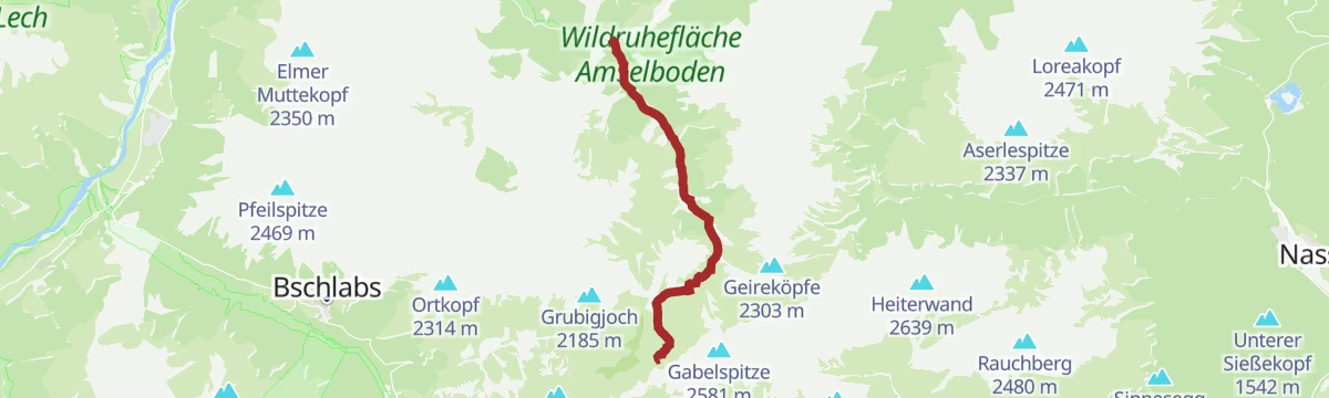






No routes of this kind in Namlos yet.
Planning a trip to Namlos?
Everything else Tyrol has, in one place


Take Namlos with you into the mountains
Every route on this page with 3D terrain, GPX navigation and offline maps — including the valleys with no signal.
Data sources
- Official website: lechtal.at ↗
- Routes and highlights: Lechtal Tourismus, Imst Tourismus, Naturparkregion Reutte, Tannheimer Tal
- Published as open data by the tourist boards named above.
- Region summary generated from the board's own material.
