


Curated by Valtellina Outdoor
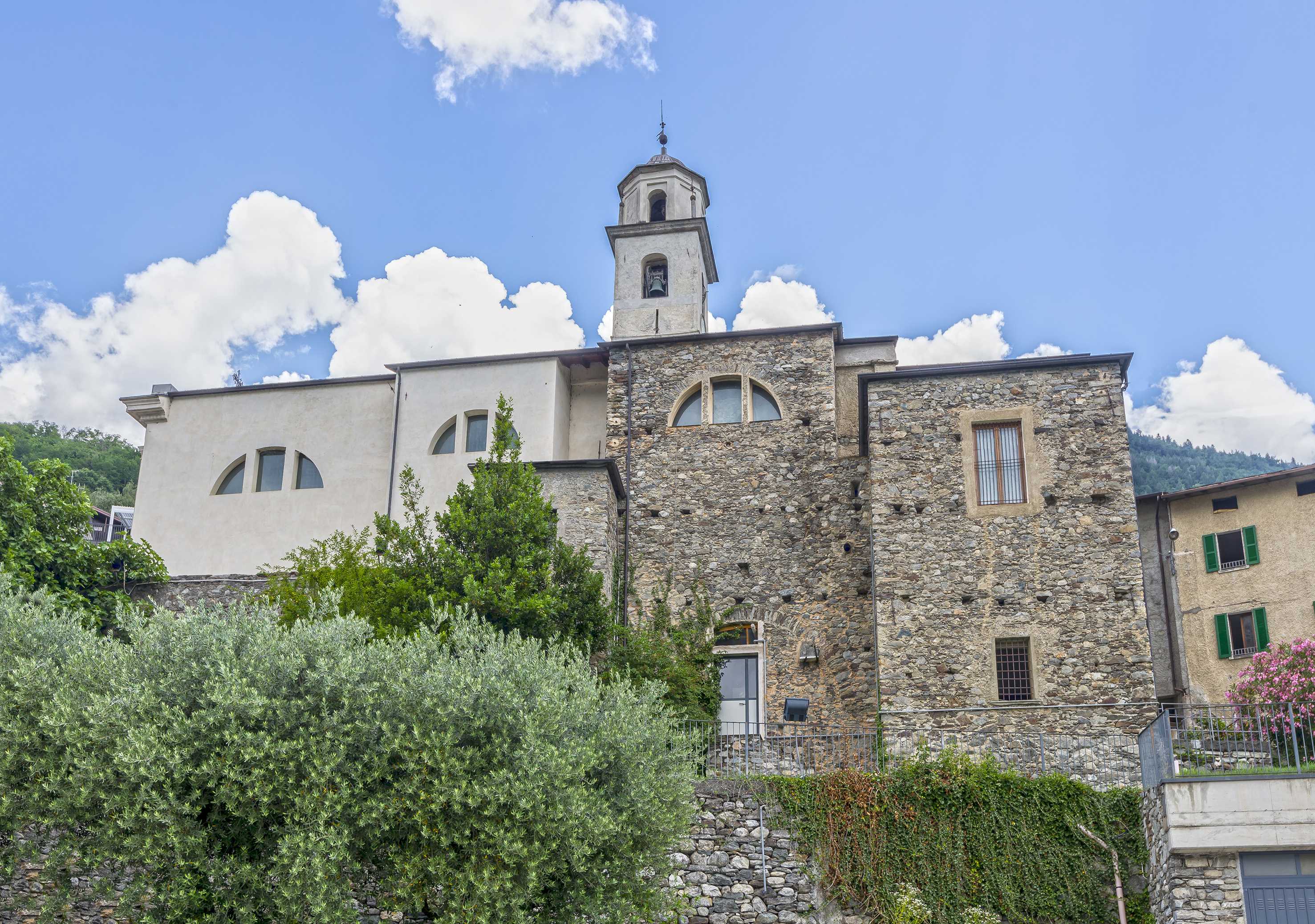
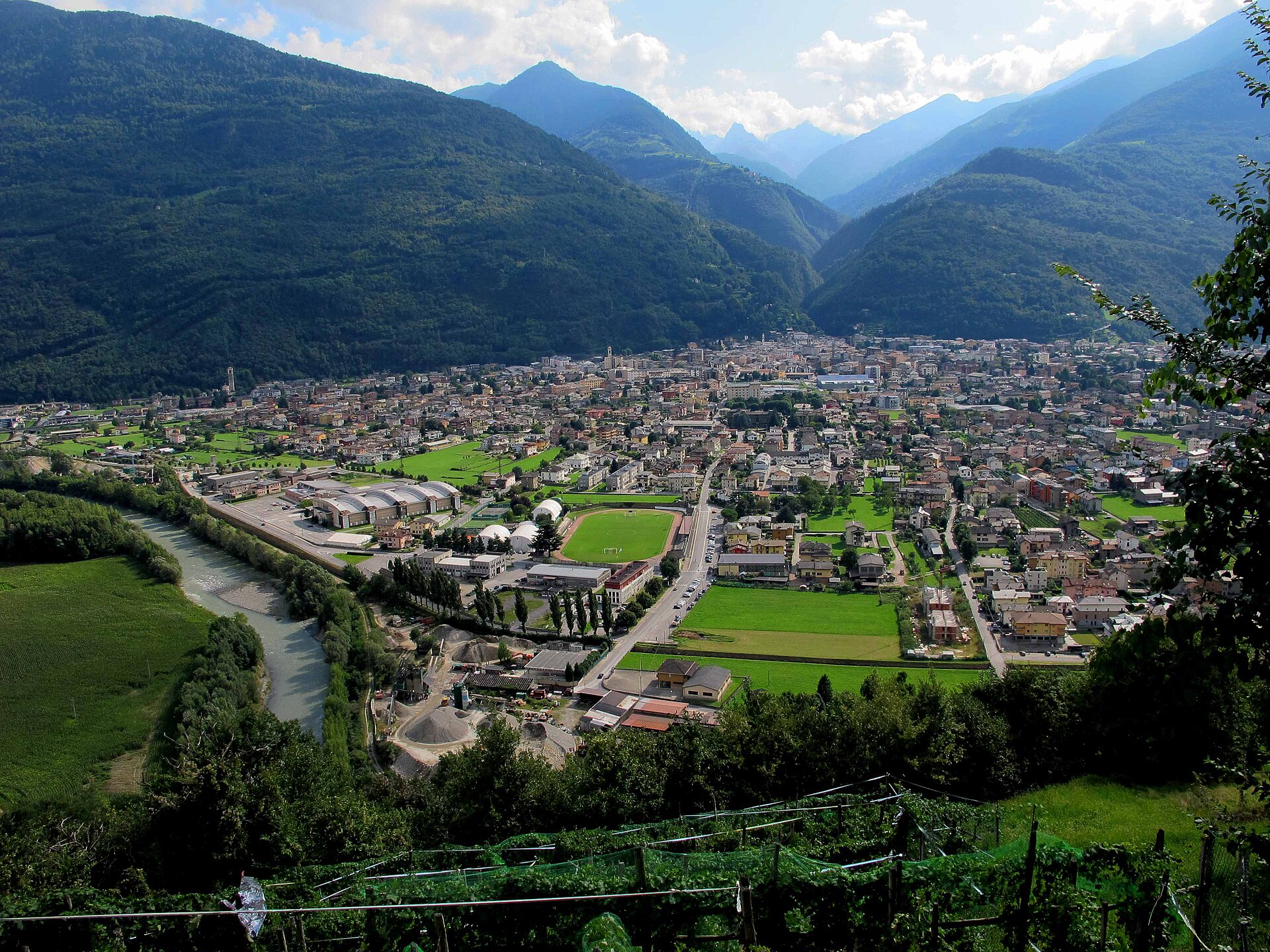
Morbegno
Main town of the lower Valtellina where the Bitto valley meets the Adde, and a natural history museum of the Orobie.
Photo: BKLuis · CC BY-SA 4.0 licence
- 1Highlights
- 17Routes
- Featured summit · Culmine di Dazio
Highlights
4 from neighbouring places
Museo Civico di Storia Naturale di Morbegno
A natural history museum at Morbegno on the Orobie and Rhaetian slopes that meet at the valley mouth.
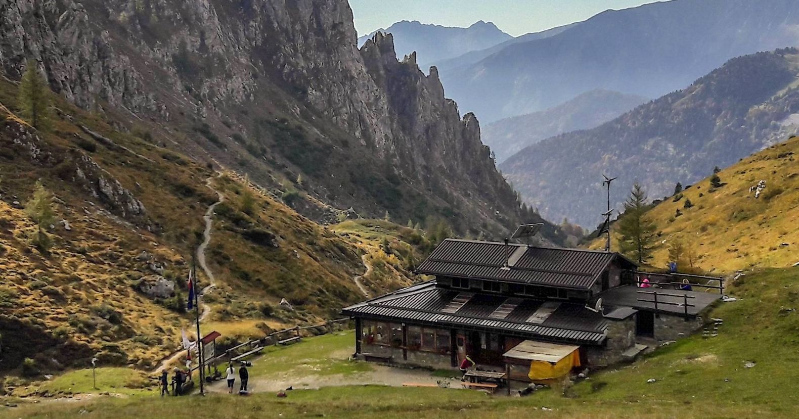
Rifugio Olmo
10.3 km away, in Mezzoldo
A hut above Mezzoldo in the upper Val Brembana, below the San Marco pass.
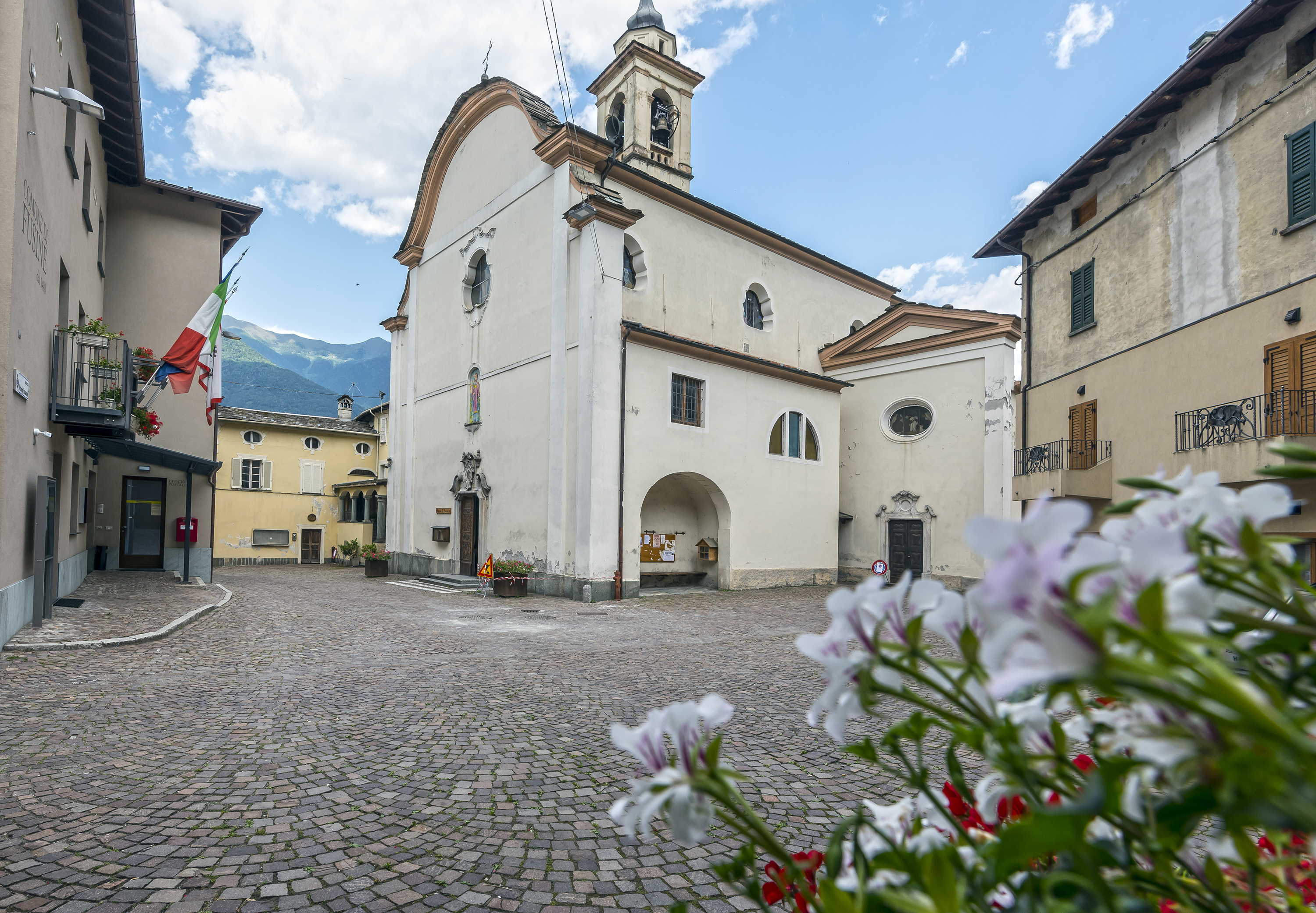
Chiesa di San Lorenzo
13.3 km away, in Fusine
The parish church of Fusine, on the Orobie side of the Valtellina.
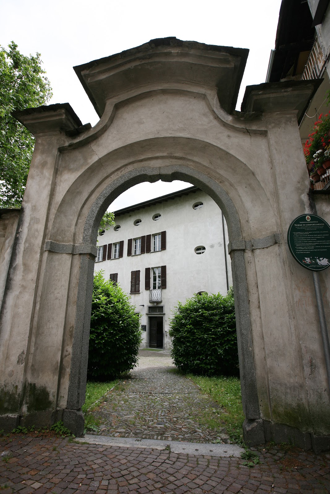
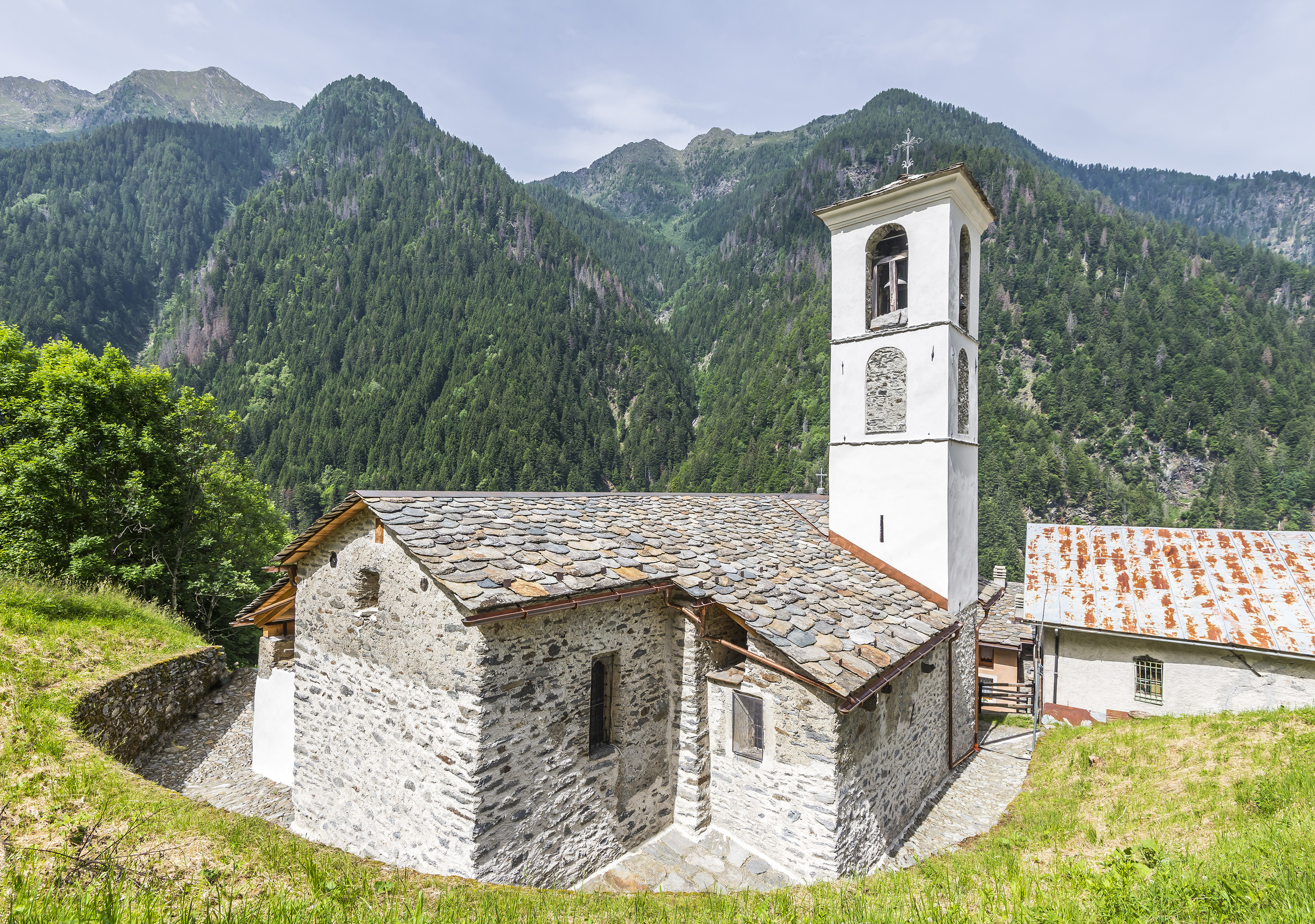
Chiesa di Sant'Abbondio
13.9 km away, in Berbenno di Valtellina
A church at Berbenno di Valtellina, on the Orobie slope above the Adda.
Nothing of this kind in Morbegno.
Routes
TAPPA1 - Morbegno Stazione - Ponte di Ganda
The first, flat stage of the Olympic walk, from Morbegno station out to the Ganda bridge over the Adda.
- 1.7 km
- Distance
- 0 m
- Ascent
- 25 min
- Duration
- 4
- Check-ins
Open route Valtellina OutdoorIl Sentiero Valtellina
The Colico end of the Sentiero Valtellina, where the route along the Adda leaves the head of Lake Como for the valley.
- 113.6 km
- Distance
- 1 108 m
- Ascent
- 28 h 24 min
- Duration
- 12
- Check-ins
Passo San Marco
A long climb from Morbegno up the Bitto valley to the Passo San Marco, the historic crossing towards Bergamo.
- 25.9 km
- Distance
- 1 736 m
- Ascent
- 8 h 45 min
- Duration
- 28
- Check-ins
Passo San Marco by bike
A 1,700 m road climb from Morbegno through Arzo and Albaredo to the old Venetian trade pass at nearly 2,000 m on the Orobie watershed.
- 26.1 km
- Distance
- 1 760 m
- Ascent
- 3 h 21 min
- Duration
- 28
- Check-ins
 Passo San Marco 1 991 m
 ANA Morbegno 368 m
- Crotto di Arzo 728 m
- Agriturismo Ortesida 540 m
- Rifugio Alpe Lago 1 557 m
Open route Valtellina OutdoorCostiera dei Cech among forests, vineyards and villages
A walk on the Costiera dei Cech from the Ganda bridge over the Adda, linking stone hamlets, vineyards and chestnut woods above Morbegno.
- 5.4 km
- Distance
- 309 m
- Ascent
- 2 h 11 min
- Duration
- 1
- Check-ins
Open route Valtellina OutdoorDazio's Colmen - A Mediterranean oasis in the midst of the Alps
A steep climb from Dazio on trail 5, through meadows and woods to a summit looking the length of the middle Valtellina towards Sondrio.
- 5.6 km
- Distance
- 370 m
- Ascent
- 2 h 30 min
- Duration
- 5
- Check-ins
 Culmine di Dazio 921 m
 Legunch 870 m
Open route Valtellina OutdoorVia Priula from Morbegno to Passo San Marco
The Venetian Via Priula, cut across the Orobie in the late sixteenth century to link Bergamo with Morbegno, climbing from the town to the Passo San Marco.
- 15.6 km
- Distance
- 1 787 m
- Ascent
- 7 h 31 min
- Duration
- 24
- Check-ins
Open route Valtellina OutdoorSentiero Valtellina
A valley-floor cycleway following the Adda upstream from the plain at Colico for well over 100 km into the upper Valtellina.
- 113.4 km
- Distance
- 1 068 m
- Ascent
- 10 h 43 min
- Duration
- 6
- Check-ins
- Agriturismo Rini 1 180 m
- Pro Loco 1 140 m
- A2A 504 m
- Visit Valtellina 434 m
- Il Bisteca - Agriturismo 242 m
Open route Valtellina OutdoorTAPPA2 - Ponte di Ganda - Traona
Second stage of the Olympic walk, a flat link from the Ganda bridge in Morbegno to the Pescaia island on the Adda.
- 1.7 km
- Distance
- 12 m
- Ascent
- 26 min
- Duration
Open route Valtellina OutdoorOlympic Walk - accessible variant
The accessible line of the Passeggiata Olimpica, following the Via dei Terrazzamenti through Valtellina vineyards to the Cino ridge and its Olympic rings marker.
- 12.5 km
- Distance
- 354 m
- Ascent
- 3 h 38 min
- Duration
- 4
- Check-ins
Open route Valtellina OutdoorSentiero Città Alpina, Morbegno between Orobie and Retiche
A loop out of Piazza Bossi in Morbegno, named for the town's Alpine City title, taking in the Via Priula on the Orobie side and the Culmine di Dazio on the Rhaetian side.
- 29.4 km
- Distance
- 1 482 m
- Ascent
- 10 h 50 min
- Duration
- 17
- Check-ins
- Culmine di Dazio 921 m
- Consorzio turistico Porte di Valtellina 249 m
- ANA Morbegno 368 m
- Crotto di Arzo 728 m
- Agriturismo Ortesida 540 m
- Agriturismo La Selva 741 m
- +2
Open route Valtellina OutdoorWith the racing bike on the Cech Coast.
A road loop running flat along the Sentiero Valtellina to Ardenno, then an eight-kilometre climb with double-digit ramps above the Adda.
- 33.2 km
- Distance
- 731 m
- Ascent
- 3 h 38 min
- Duration
- 6
- Check-ins
Open route Valtellina OutdoorOlympic Walk and Spectacular Olympics
The Passeggiata Olimpica across Morbegno, Traona, Cercino and Cino, a Milano-Cortina 2026 legacy route ending at the permanent Olympic installation above Cino.
- 11.7 km
- Distance
- 341 m
- Ascent
- 3 h 24 min
- Duration
- 4
- Check-ins
Open route Valtellina OutdoorDesenigo dall'uscio alla cima
A long haul from the streets of Morbegno to the Cima del Desenigo, gaining the whole height of the Orobie flank in one push.
- 19.7 km
- Distance
- 2 676 m
- Ascent
- 14 h 5 min
- Duration
- 10
- Check-ins
Sunny bike tour on the Cech Coast, the Valtellina coast
A loop from Morbegno over the Adda at Ponte di Ganda, climbing the sunny Costiera dei Cech to Santa Croce di Civo and the Torre di Domofole.
- 20.8 km
- Distance
- 919 m
- Ascent
- 2 h 37 min
- Duration
- 4
- Check-ins
Open route Valtellina OutdoorERSAF e-bike Percorso Culturale-Naturalistico
A long, nearly level e-bike route through the lower Valtellina, out to the Isola della Pescaia and the Sasso di Dascio viewpoint near Dascio.
- 55.2 km
- Distance
- 199 m
- Ascent
- 5 h 5 min
- Duration
- 1
- Check-ins
Open route Valtellina OutdoorSull'anello "Festival Ride"
A hill loop through the lesser-known villages of the lower Valtellina, climbing to Cino and dropping back past the Isola della Pescaia.
- 36.8 km
- Distance
- 1 086 m
- Ascent
- 4 h 17 min
- Duration
- 1
- Check-ins
No routes of this kind in Morbegno yet.
The region's own picks

Featured route
TAPPA1 - Morbegno Stazione - Ponte di Ganda
The first, flat stage of the Olympic walk, from Morbegno station out to the Ganda bridge over the Adda.
Planning a trip to Morbegno?
Everything else Lombardy has, in one place


Take Morbegno with you into the mountains
Every route on this page with 3D terrain, GPX navigation and offline maps — including the valleys with no signal.
Data sources
- Official website: italia.it ↗
- Routes and highlights: Valtellina Outdoor, Sondrio e Valmalenco, in Lombardia, Italia.it, Visitbergamo
- Published as open data by the tourist boards named above.
- Region summary generated from the board's own material.
