
Curated by Sondrio e Valmalenco
Montagna in Valtellina
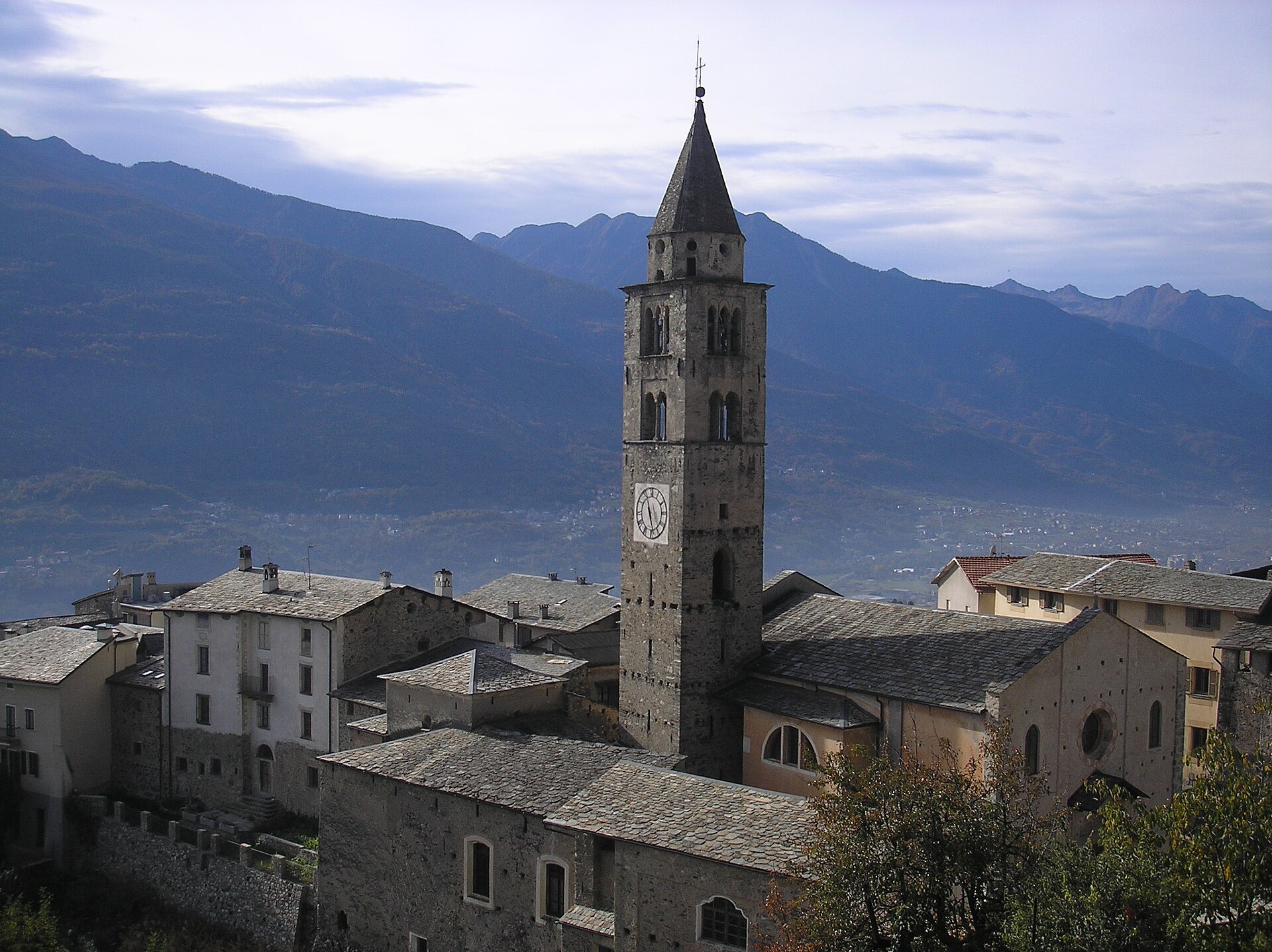
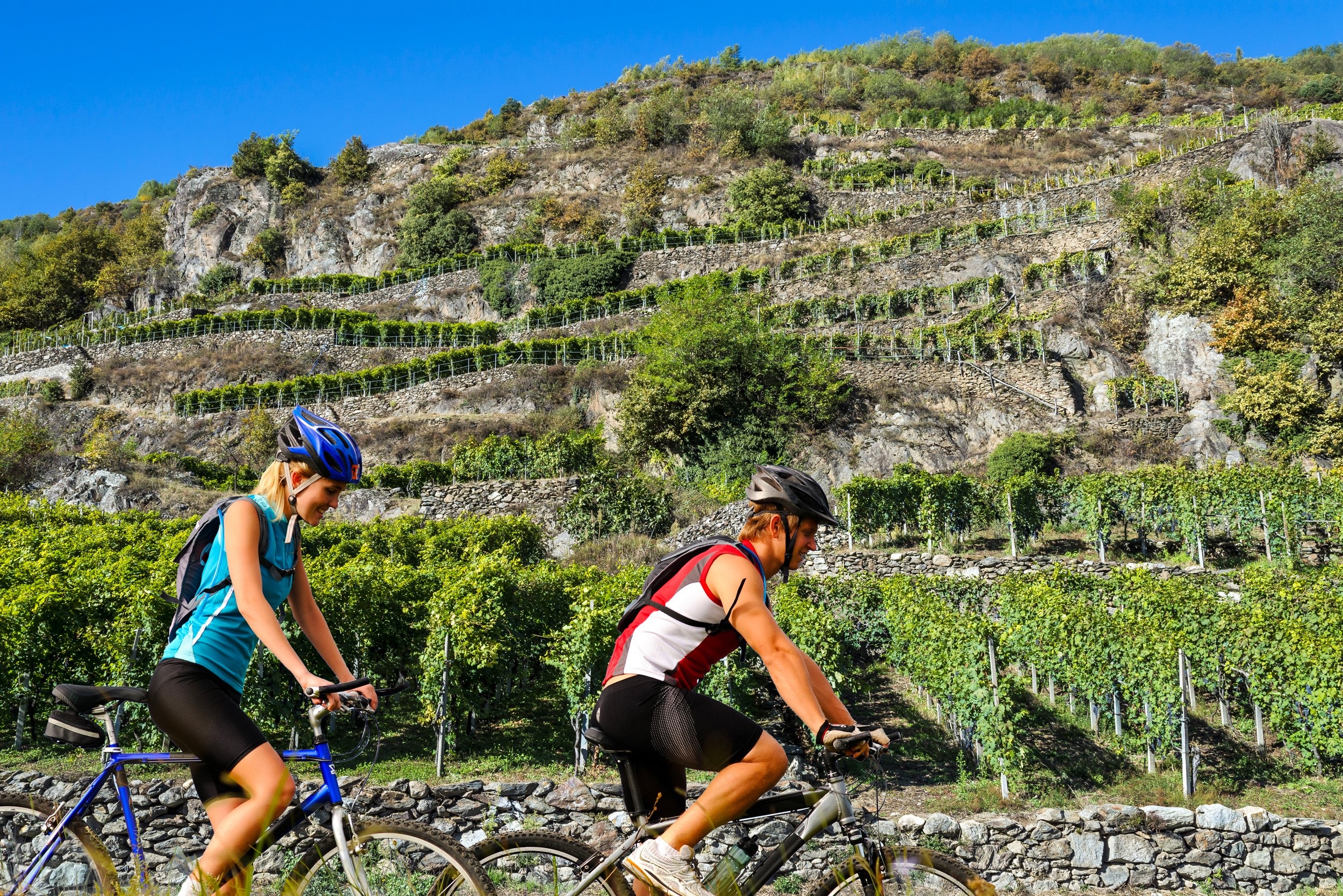
Valtellina comune on the terraced slope above Sondrio, on the Via dei Terrazzamenti among the vineyards.
Photo: Ghisolabella · Public domain
- 6Highlights
- 20Routes
- Featured summit · Dosso Bruciato
Highlights
9 from neighbouring places
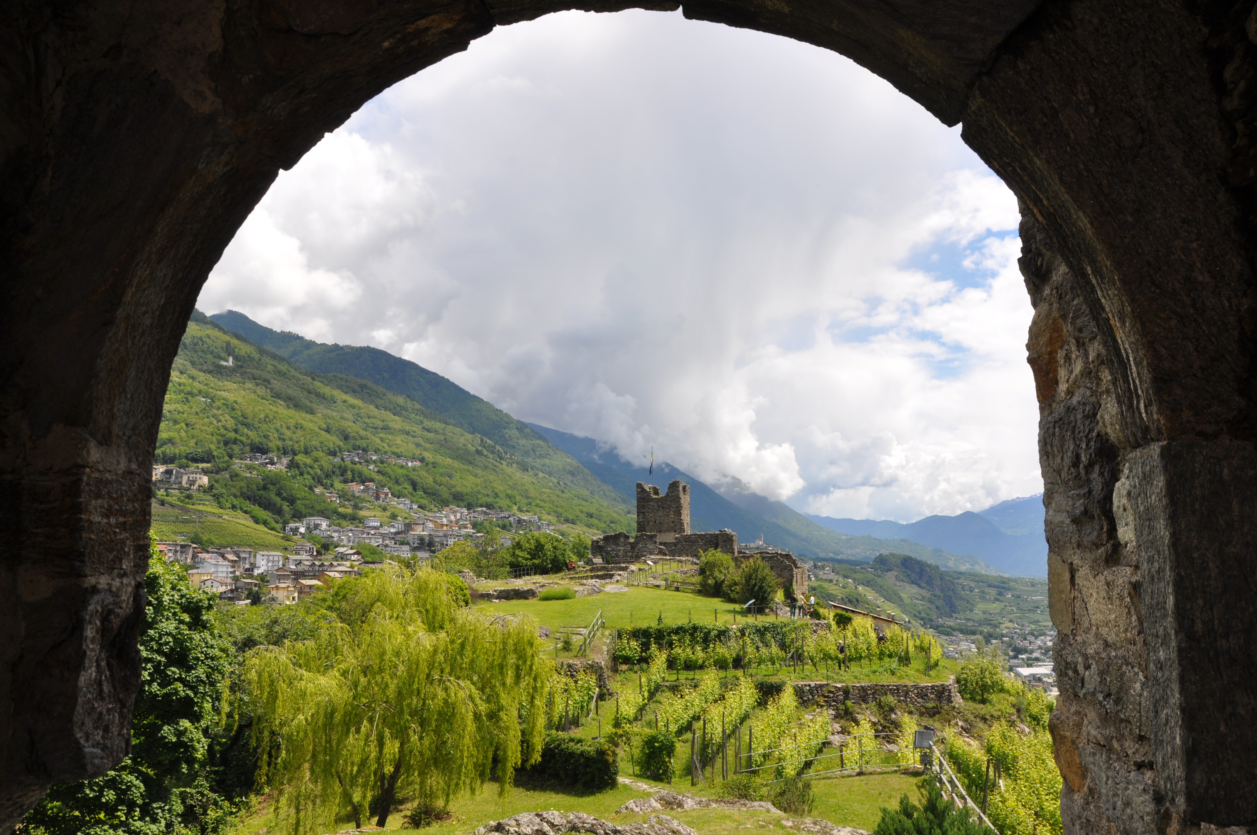
Castel Grumello
A twin-towered ruined castle on a rock spur above the Valtellina, with vineyards below.
Rifugi all'Alpe Mara
Huts on the Alpe Mara above Montagna in Valtellina, on the Orobie slope.
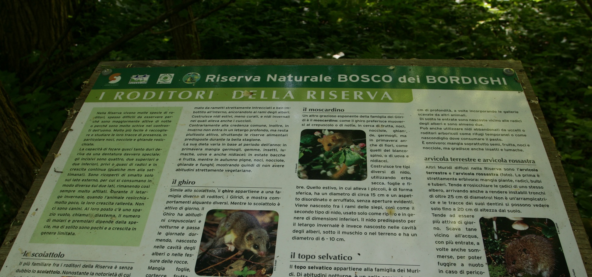
Riserva Naturale Bosco dei Bordighi
A riverside wood on the Adda near Sondrio, one of the last stretches of the valley's original forest.
La Via dei Terrazzamenti
A marked route along the Valtellina's dry-stone vineyard terraces between Morbegno and Tirano.
Torre di Mancapane
A watchtower on the slope above Montagna in Valtellina, part of the valley's medieval signal chain.
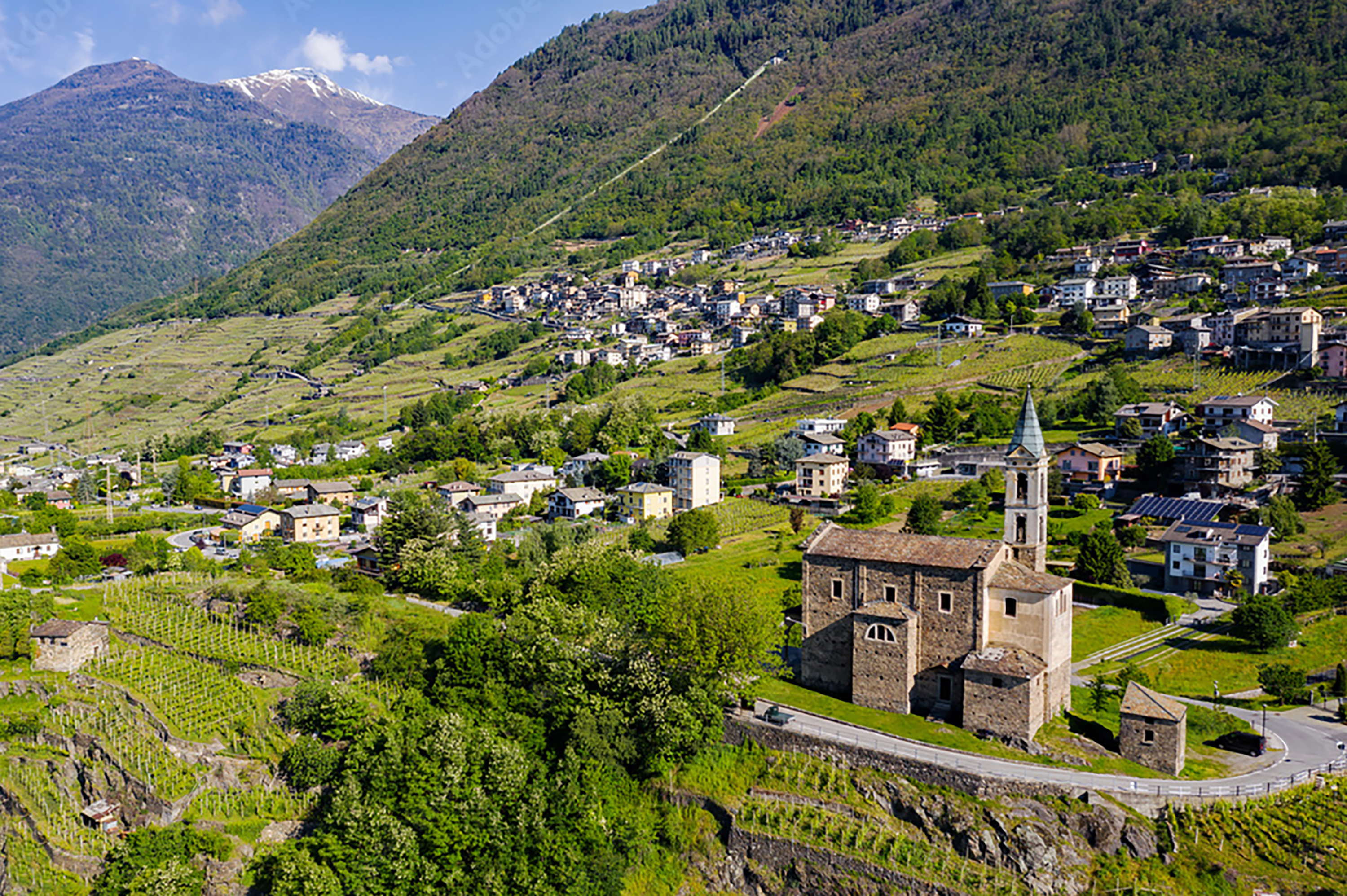
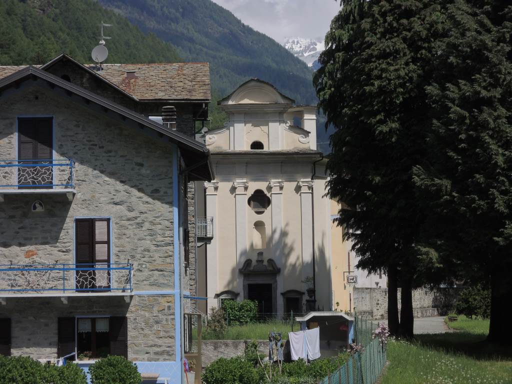
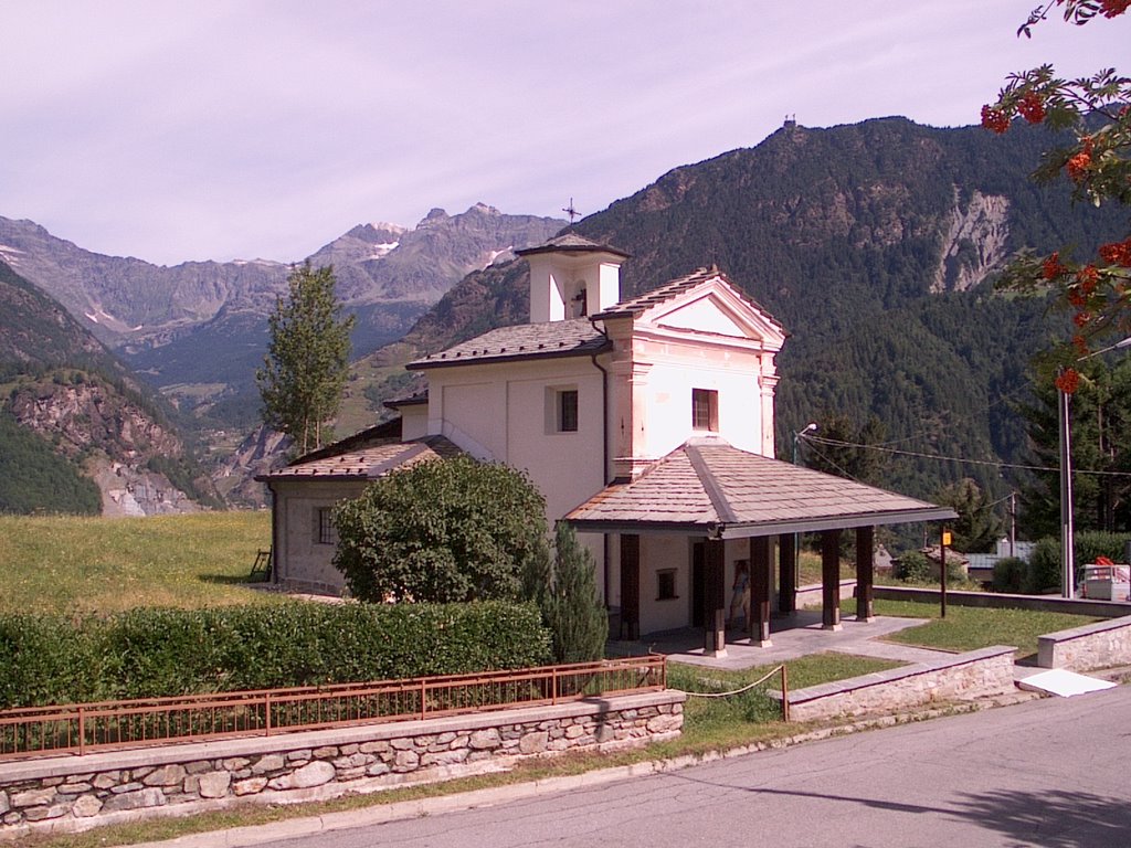
Chiesa di Sant'Antonio Abate
A church beside the Grumello castle rock above Montagna in Valtellina.
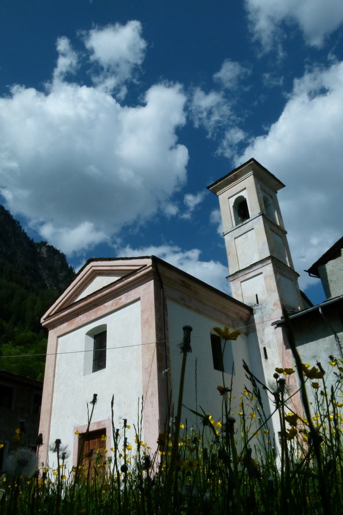
Chiesa di San Giuseppe
4.9 km away, in Torre di Santa Maria
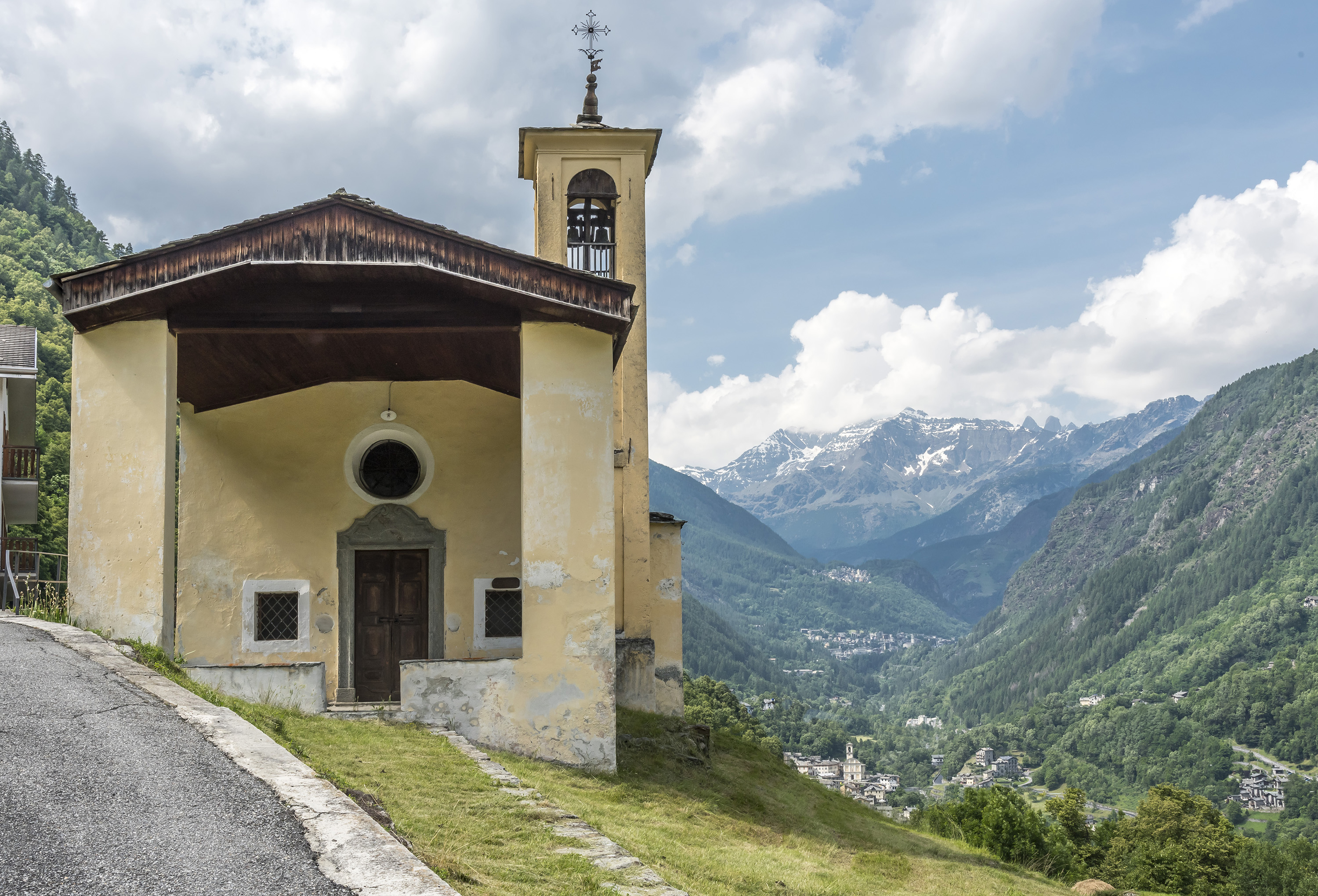
A church at Torre di Santa Maria, in the Valmalenco.
Chiesa di Sant'Anna
5.3 km away, in Torre di Santa Maria
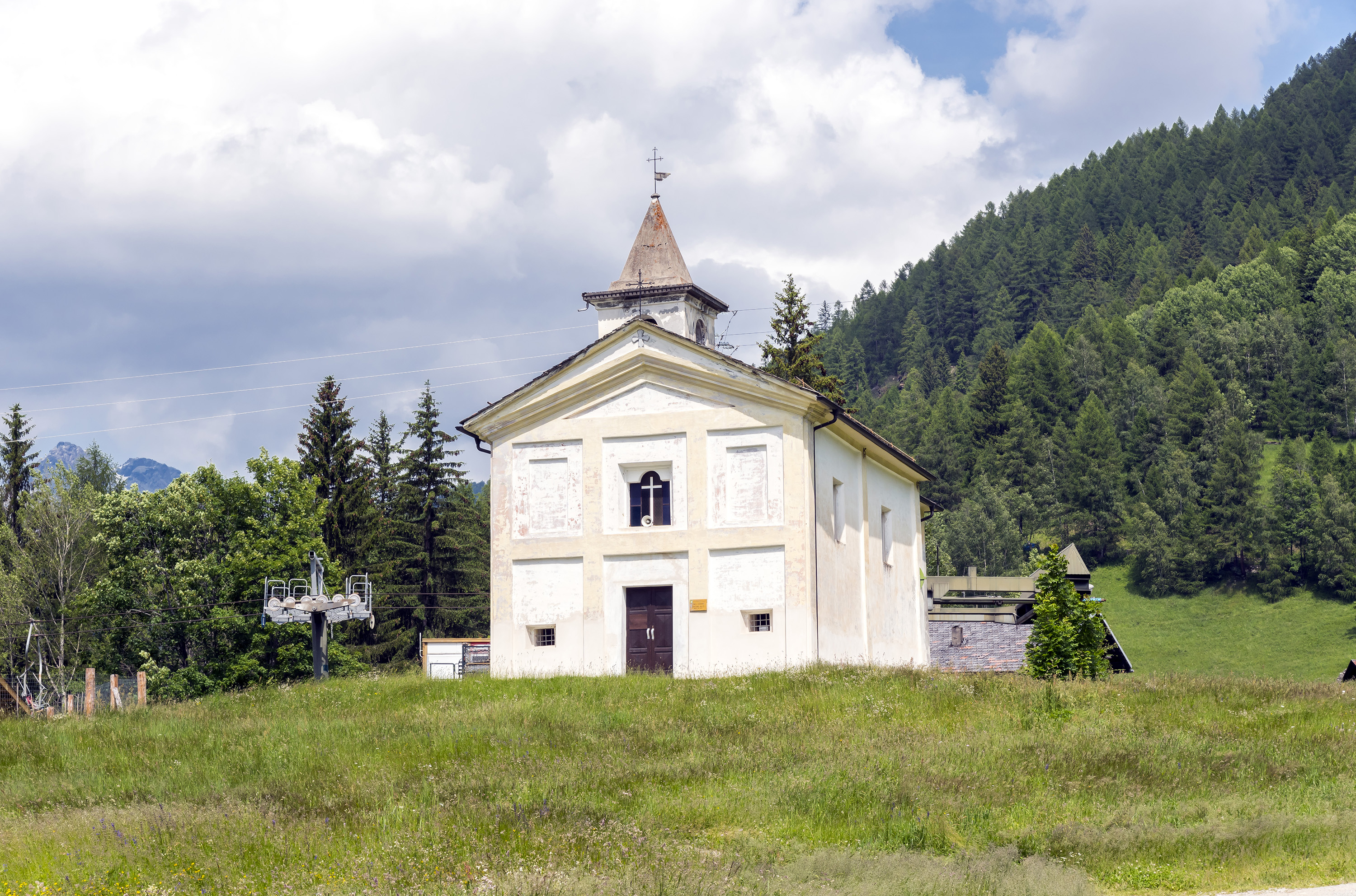
A chapel above Torre di Santa Maria, on the path up the valley.
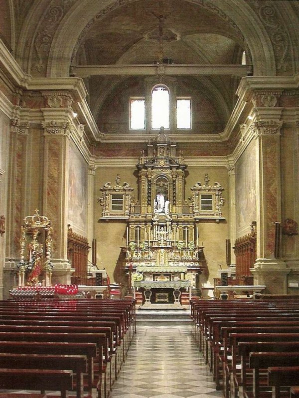
Chiesa di Santa Maria Nascente
5.3 km away, in Torre di Santa Maria
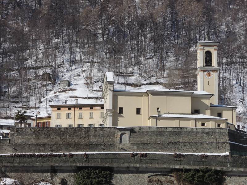
The parish church of Torre di Santa Maria, with its stone-slabbed roof.
Chiesa di Sant'Antonio
5.7 km away, in Caspoggio
A church at Caspoggio, on the terrace above the Valmalenco.
Chiesa di San Carlo
6.3 km away, in Lanzada
The church of Vetto above Lanzada, traditionally built for the Lavizzari family of Sondrio.
Chiesa di Santa Elisabetta
6.4 km away, in Caspoggio
The parish church of Caspoggio, with the Disgrazia in view from its square.
Chiesa della Madonna Addolorata
6.4 km away, in Lanzada
The church of the Madonna Addolorata in Lanzada, in the Valmalenco below the Bernina.
Chiesa dei SS. Rocco, Fabiano e Sebastiano
6.5 km away, in Caspoggio
A votive church at Caspoggio, facing the Bernina across the Valmalenco.
Ecomuseo della Valmalenco
6.6 km away, in Lanzada
An ecomuseum in the Valmalenco on the serpentine quarrying and stone-roofing that shaped the valley.
 Historic site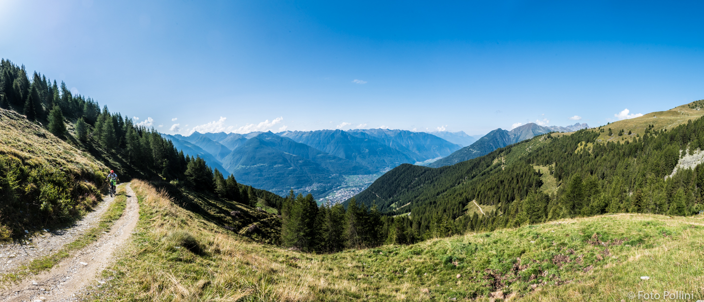
 Viewpoint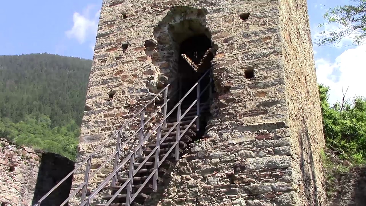
Nothing of this kind in Montagna in Valtellina.
Routes
Grumello Castle loop
A loop through the dry-stone vineyard terraces at Grumello, below the ruined castle above Montagna in Valtellina.
- 4.3 km
- Distance
- 257 m
- Ascent
- 1 h 47 min
- Duration
Open route Valtellina OutdoorSentiero Italia D27N - Stage from Rifugio Cristina to Alpe Prabello - Rifugio Cederna Maffina
A short, steep Sentiero Italia stage from the Cristina hut over the Passo degli Ometti and Passo Forame, rounding Pizzo Scalino toward the Cederna Maffina hut.
- 6.0 km
- Distance
- 808 m
- Ascent
- 4 h 4 min
- Duration
- 11
- Check-ins
Open route Valtellina OutdoorMontagna
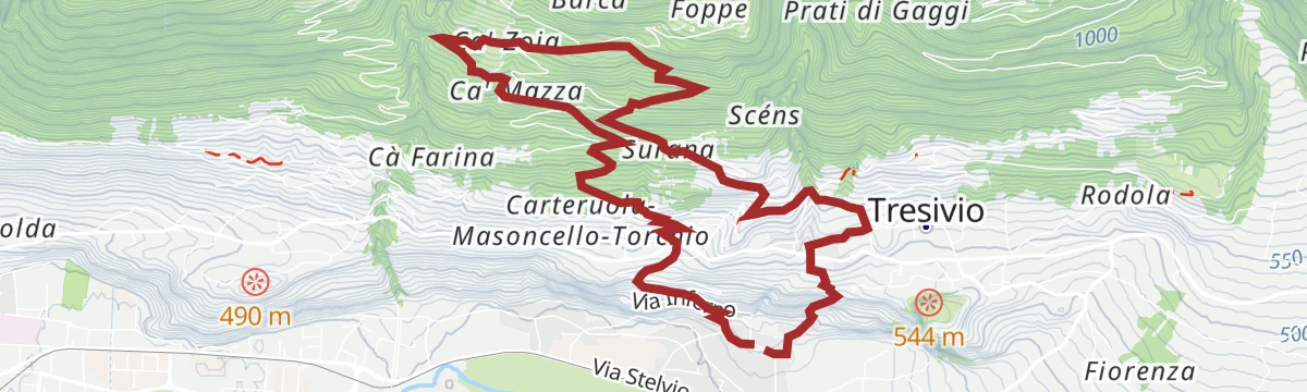
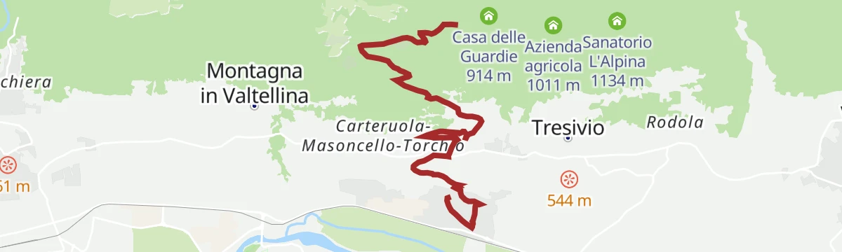
A long climb from the terraced vineyards above Sondrio into the pastures on the northern slope of the Valtellina.
- 30.8 km
- Distance
- 1 783 m
- Ascent
- 12 h 29 min
- Duration
- 3
- Check-ins
Mountain, Alpe Mara, Gugiatti-Sertorelli Refuge (MTB-EMTB)
A very demanding climb above Montagna in Valtellina, paved to Scessa and then rough, past the Pissaloca falls to Casera di Mara at 1,944 m.
- 27.6 km
- Distance
- 1 638 m
- Ascent
- 4 h 19 min
- Duration
- 1
- Check-ins
Open route Valtellina OutdoorGravel rurale in Valtellina
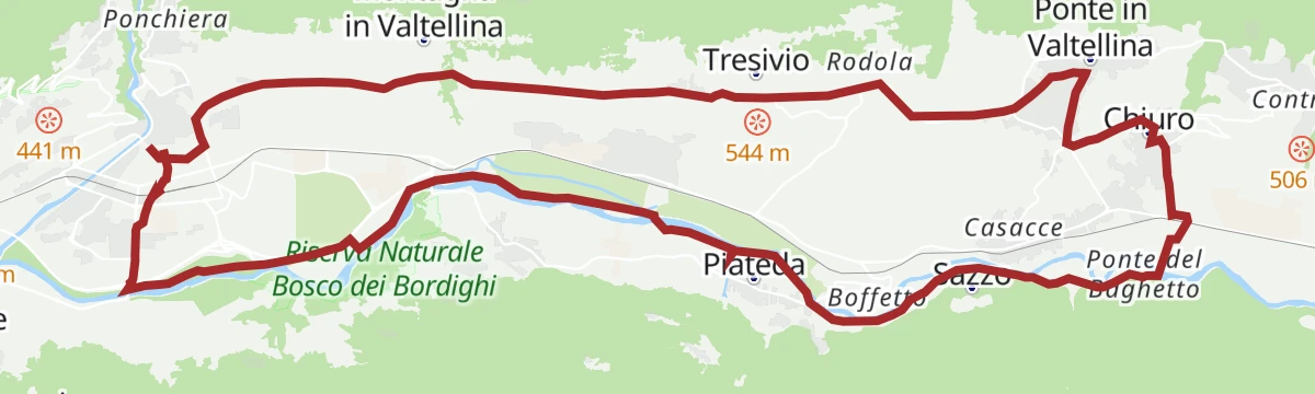
A demanding gravel route from Sondrio to Villa di Tirano on the old terraced side of the Valtellina.
- 76.7 km
- Distance
- 1 775 m
- Ascent
- 8 h 28 min
- Duration
- 17
- Check-ins
 Ristorante da Silvio Fancoli 559 m
- Azienda Bondio Cristina 529 m
- Ristorante Belandin 675 m
- Convento di San Lorenzo 441 m
- Osteria al Sole 559 m
- Chiosco 286 m
- +3
Open route Valtellina OutdoorGrumello Ring
A vineyard circuit on the terraced slope above the valley floor, one of the wine-route itineraries running between dry stone walls and Nebbiolo vines.
- 6.6 km
- Distance
- 231 m
- Ascent
- 2 h 8 min
- Duration
Open route Valtellina OutdoorVal di Togno
A long walk up a side valley above Arquino, climbing past Alpe Carbonera to Rifugio Bruno De Dosso; driving the access road needs a permit.
- 13.3 km
- Distance
- 811 m
- Ascent
- 5 h 36 min
- Duration
- 8
- Check-ins
Open route Valtellina OutdoorLa Via dei Terrazzamenti
A stretch of the terraces route above Chiuro, following the drystone walls that carry the Valtellina vineyards.
- 33.6 km
- Distance
- 1 008 m
- Ascent
- 10 h 27 min
- Duration
- 2
- Check-ins
Piateda: up and down on MTB (short)
A dirt-road loop above the village, climbing past Valbona to Piateda Alta and the Dossi before dropping back down from Gaggio.
- 19.9 km
- Distance
- 806 m
- Ascent
- 2 h 32 min
- Duration
Open route Valtellina OutdoorItineario EBike Grumello
An e-bike route above Sondrio to the Grumello vineyards, passing the San Lorenzo convent.
- 17.4 km
- Distance
- 426 m
- Ascent
- 1 h 57 min
- Duration
- 2
- Check-ins
Open route Valtellina OutdoorMancapane
A short walk to the Mancapane above Montagna in Valtellina, on mule tracks through chestnut woods over Sondrio.
- 4.0 km
- Distance
- 220 m
- Ascent
- 1 h 35 min
- Duration
Open route Valtellina OutdoorAnello Mara-Rogneda
A circuit from the Alpe Mara to the Rogneda lake, returning over the Dosso Bruciato with the Orobie Alps across the Valtellina.
- 11.3 km
- Distance
- 746 m
- Ascent
- 5 h 2 min
- Duration
- 7
- Check-ins
 Dosso Bruciato 2 184 m
 Bocchetta di Mara 2 342 m
- Rifugio Gugiatti-Sertorelli 2 137 m
- Casera di Mara 1 944 m
- Alpe Rogneda 2 182 m
- Cuncalet 2 167 m
Open route Valtellina OutdoorMontagna in Valtellina
A climb from the village of Montagna in Valtellina up towards the Alpe Mara, gaining height steadily above the Adda valley.
- 20.5 km
- Distance
- 995 m
- Ascent
- 7 h 26 min
- Duration
Sondrio - Chiuro
A wine route through vineyards and orchards from Sondrio by Ponte in Valtellina to Chiuro.
- 26.5 km
- Distance
- 274 m
- Ascent
- 2 h 37 min
- Duration
Open route Valtellina OutdoorPoggi-Montagna Itinerary (GAL VALTELLINA call)
A restored ring on the Rhaetian side linking Poggiridenti, Montagna and Tresivio, passing the Santa Casa Lauretana and joining the terrace route.
- 9.6 km
- Distance
- 613 m
- Ascent
- 4 h 11 min
- Duration
- 2
- Check-ins
Open route Valtellina OutdoorSentiero del Sole
The section of trail 302 from Dalico to Santa Maria, crossing the Valfontana, the Rhon valley and the Val Rogna on the sunny Valtellina side.
- 20.7 km
- Distance
- 971 m
- Ascent
- 8 h 17 min
- Duration
Open route Valtellina OutdoorSondrio - Ponchiera - Poggiridenti - Montagna in Valtellina
A short climb from Sondrio through Ponchiera to the terraced villages of Poggiridenti and Montagna.
- 19.4 km
- Distance
- 302 m
- Ascent
- 2 h
- Duration
Open route Valtellina OutdoorCamminata alle Foppe
A steady climb on the mountainside above Montagna in Valtellina, gaining most of its height on the way up to the Foppe.
- 6.3 km
- Distance
- 722 m
- Ascent
- 2 h 59 min
- Duration
Open route Valtellina OutdoorWine Bike Tour 4 - Arte
A wine route above Sondrio, linking the art and architecture of the villages on the Rhaetian slope.
- 19.4 km
- Distance
- 431 m
- Ascent
- 2 h 7 min
- Duration
Wine Bike Tour 6 - Storia
A route along the steep Rhaetian slope among terraced vineyards, old villages and their cellars.
- 26.1 km
- Distance
- 291 m
- Ascent
- 2 h 35 min
- Duration





No routes of this kind in Montagna in Valtellina yet.
The region's own picks

Featured route
Grumello Castle loop
A loop through the dry-stone vineyard terraces at Grumello, below the ruined castle above Montagna in Valtellina.
Planning a trip to Montagna in Valtellina?
Everything else Lombardy has, in one place


Take Montagna in Valtellina with you into the mountains
Every route on this page with 3D terrain, GPX navigation and offline maps — including the valleys with no signal.
Data sources
- Official website: sondrioevalmalenco.it ↗
- Routes and highlights: Sondrio e Valmalenco, Valtellina Outdoor, in Lombardia
- Published as open data by the tourist boards named above.
- Region summary generated from the board's own material.
