
Curated by Salzkammergut
Mondsee
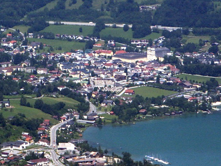
The market town at the northern end of the Mondsee at about 490 m, under the Drachenwand and the Schafberg, with a former Benedictine abbey church.
Photo: No machine-readable author provided. Birka assumed (based on copyright claims). · CC BY-SA 3.0 licence
- 2Highlights
- 7Routes
Highlights
13 from neighbouring places
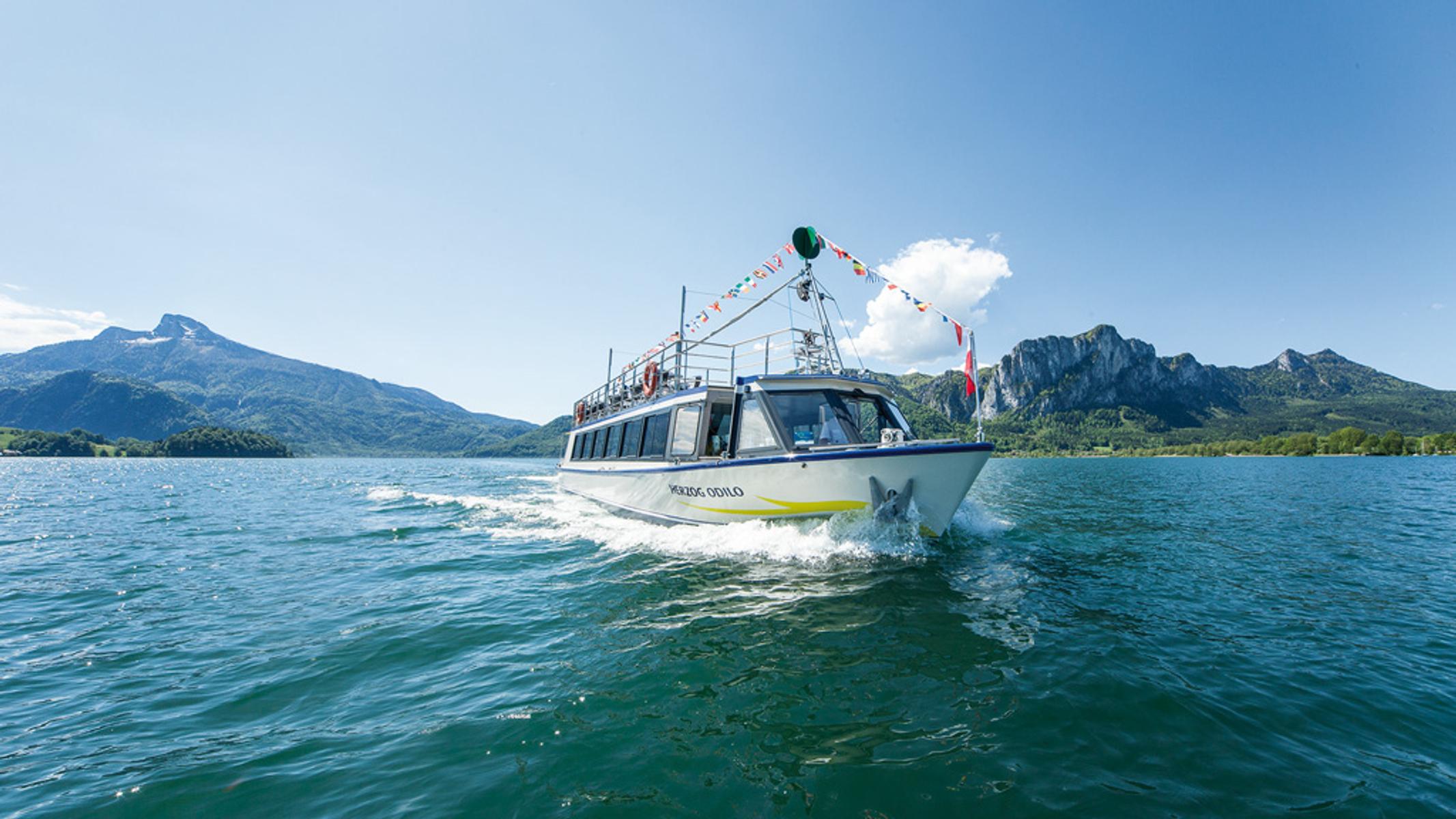
Mondsee Schifffahrt Hemetsberger
Passenger boats on the Mondsee, with step-free access by ramp.
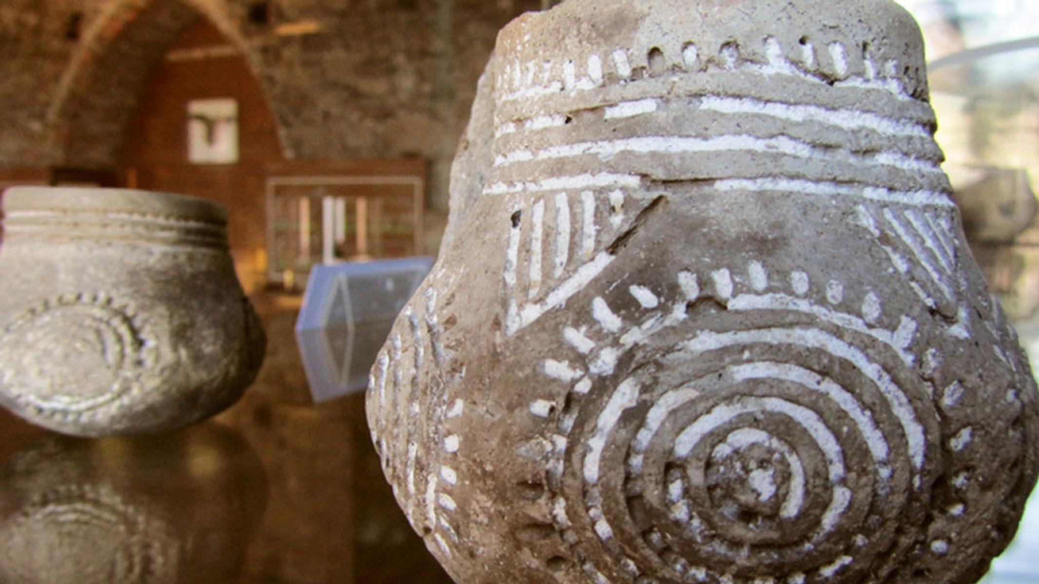
Pfahlbau- und Klostermuseum
A museum in Mondsee covering the neolithic lake dwellings of the Mondsee culture and the town's former monastery.
Eibensee Hochmoor Wildmoos Marienköpfl
4 km away, in Sankt Gilgen
A walking circuit from the Eibensee stream up to a high moor and the Marienköpfl above St. Gilgen.
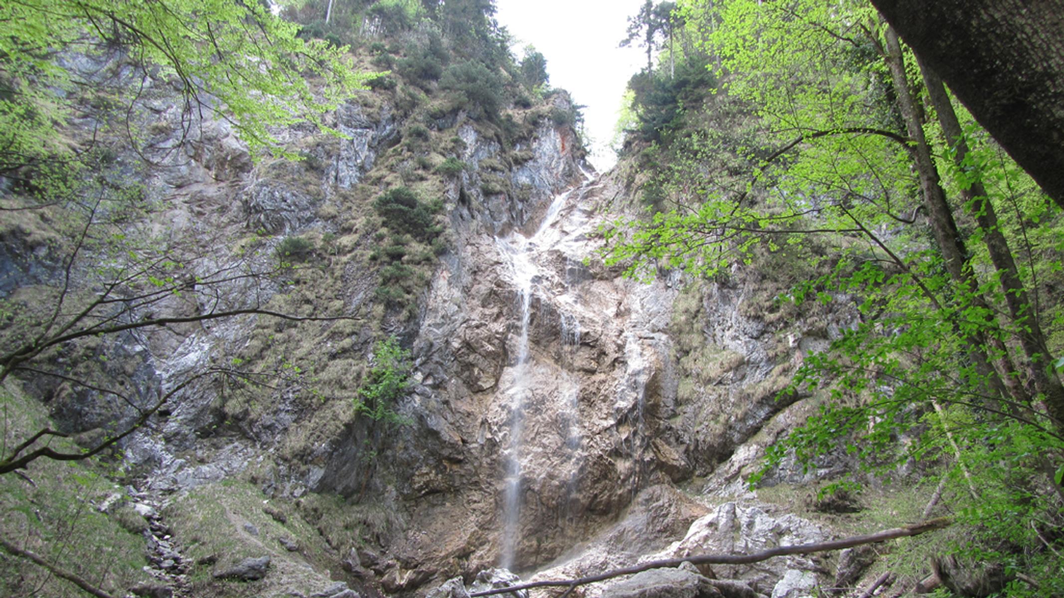
Wasserfall Kreuzstein
4.1 km away, in Sankt Gilgen
A waterfall at Kreuzstein on the wooded slope above the Wolfgangsee.
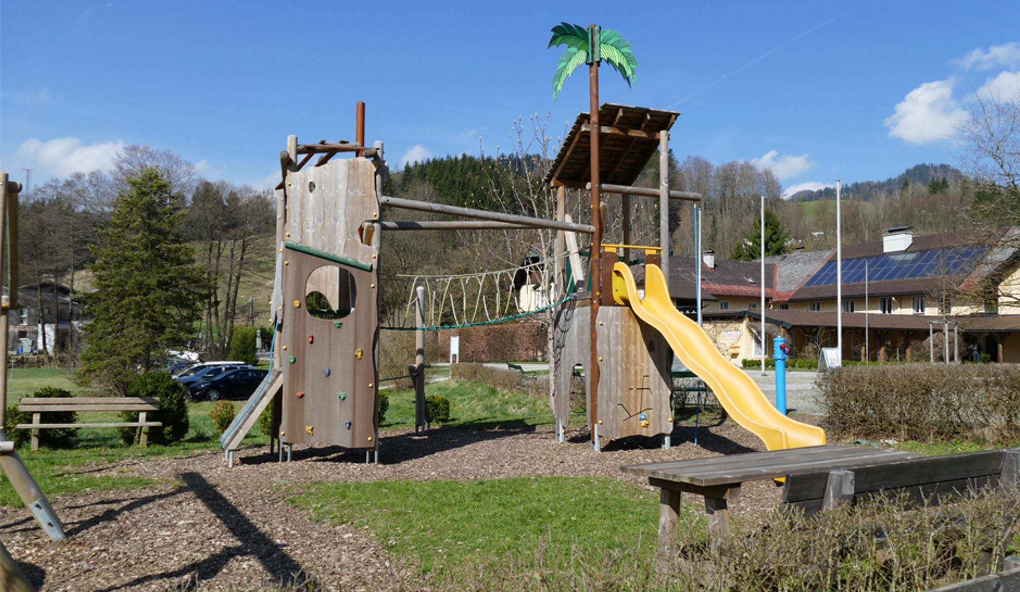
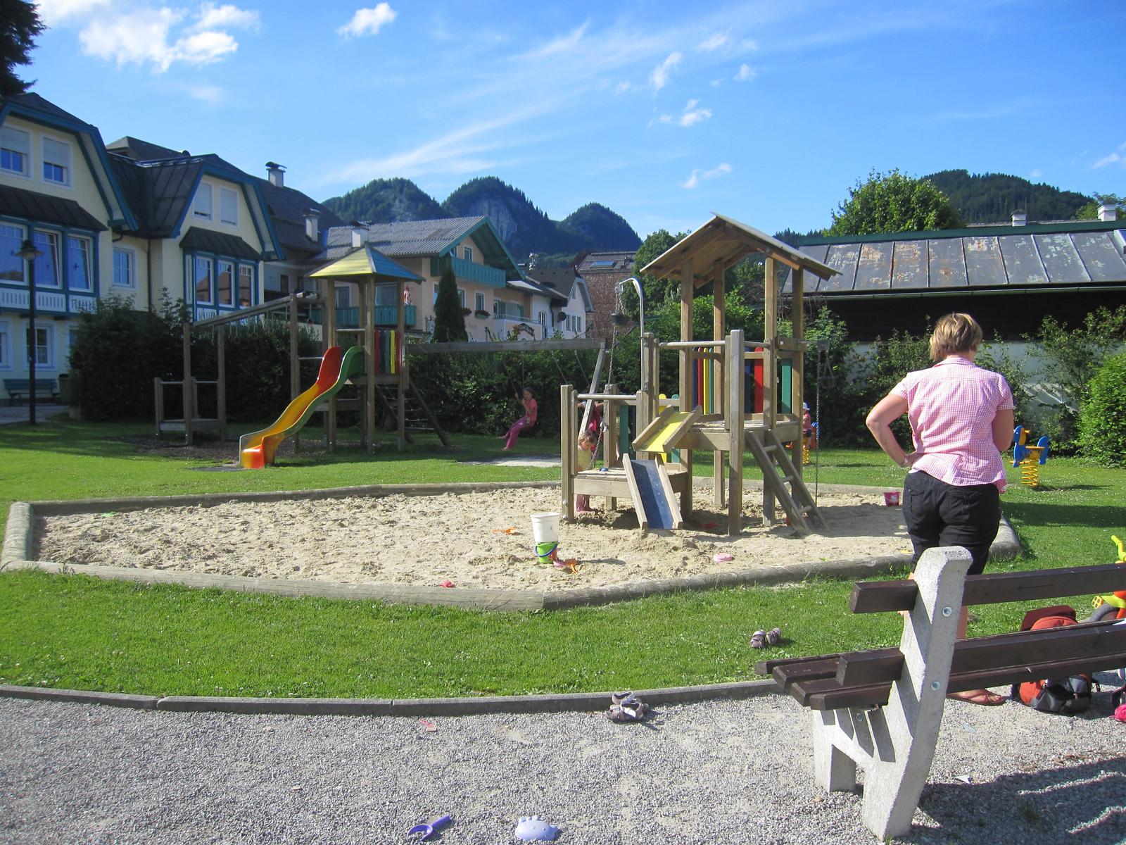
Kinderspielplatz im Winkl
5 km away, in Sankt Gilgen
A children's playground at Winkl near St. Gilgen.
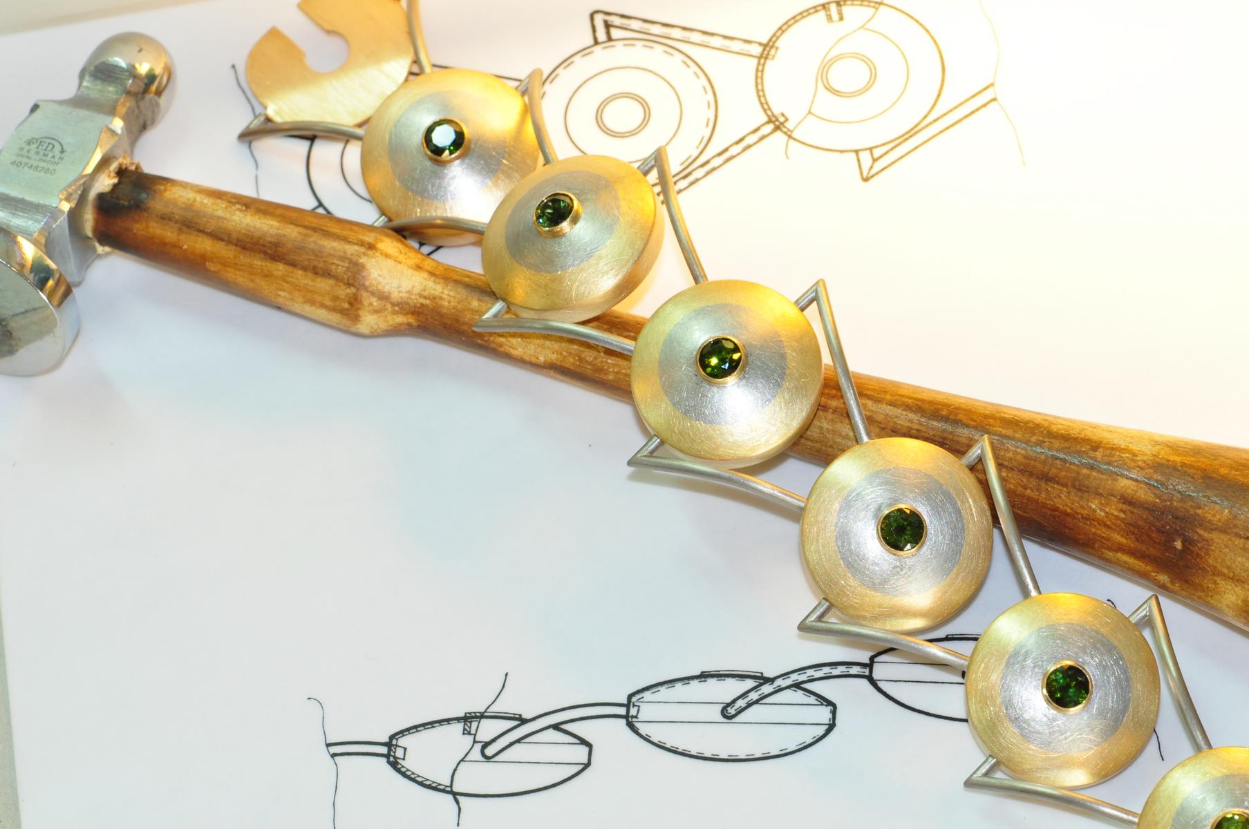
Goldschmiede Kloster Gut Aich
5.1 km away, in Sankt Gilgen
The goldsmith's workshop of the Benedictine priory of Gut Aich at St. Gilgen.
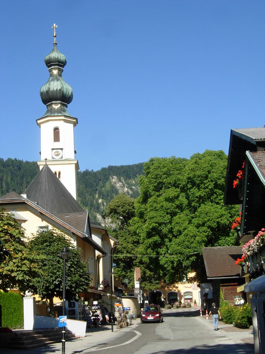
Katholische Pfarrkirche St. Gilgen
6.3 km away, in Sankt Gilgen
The Catholic parish church of St. Gilgen, beside the square at the centre of the village.
Kinderspielplatz im Seepark St. Gilgen
6.4 km away, in Sankt Gilgen
A children's playground in the lakeside park at St. Gilgen.
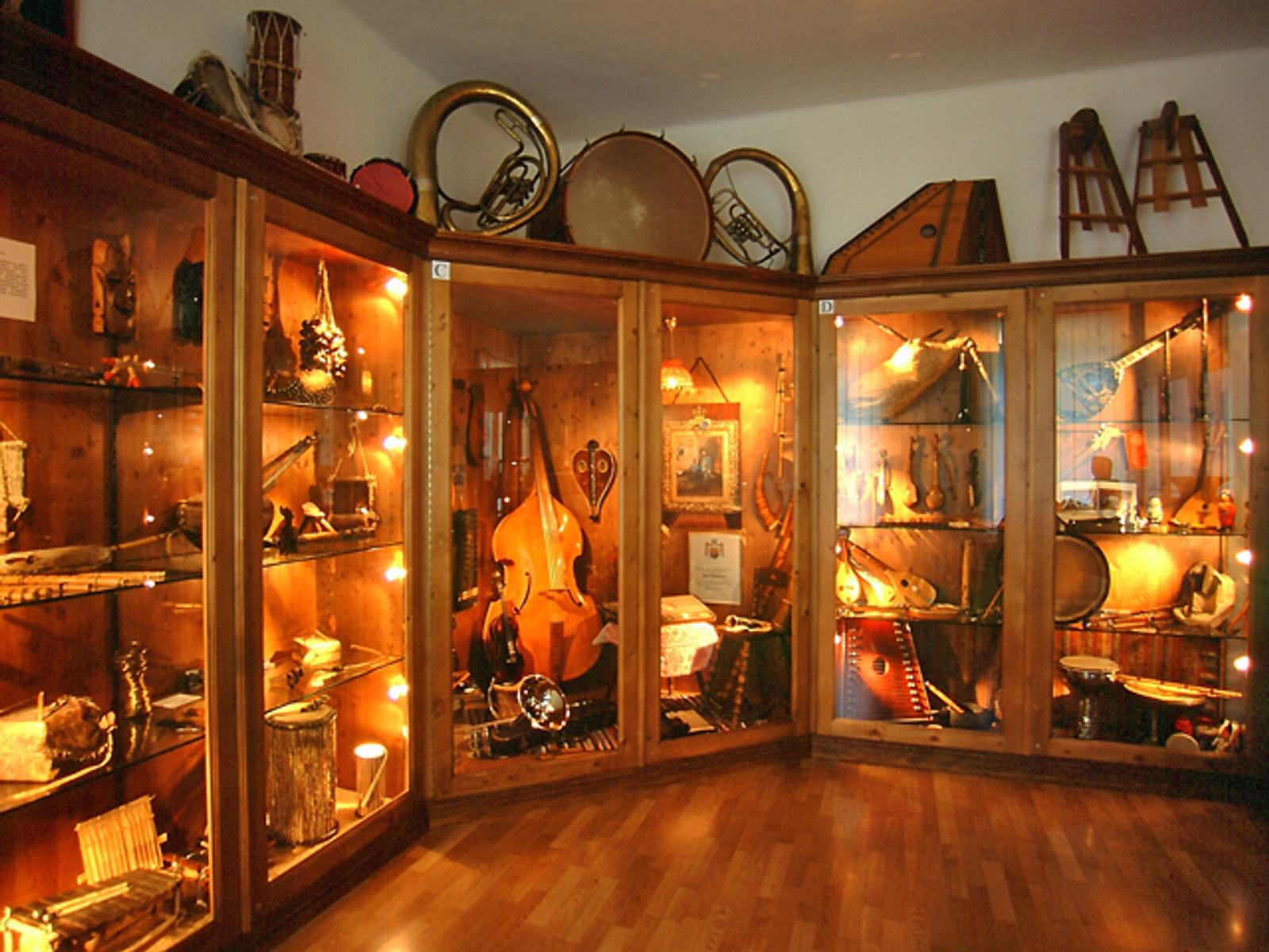
Musikinstrumenten Museum der Völker
6.5 km away, in Sankt Gilgen
A museum of musical instruments from around the world, in St. Gilgen.
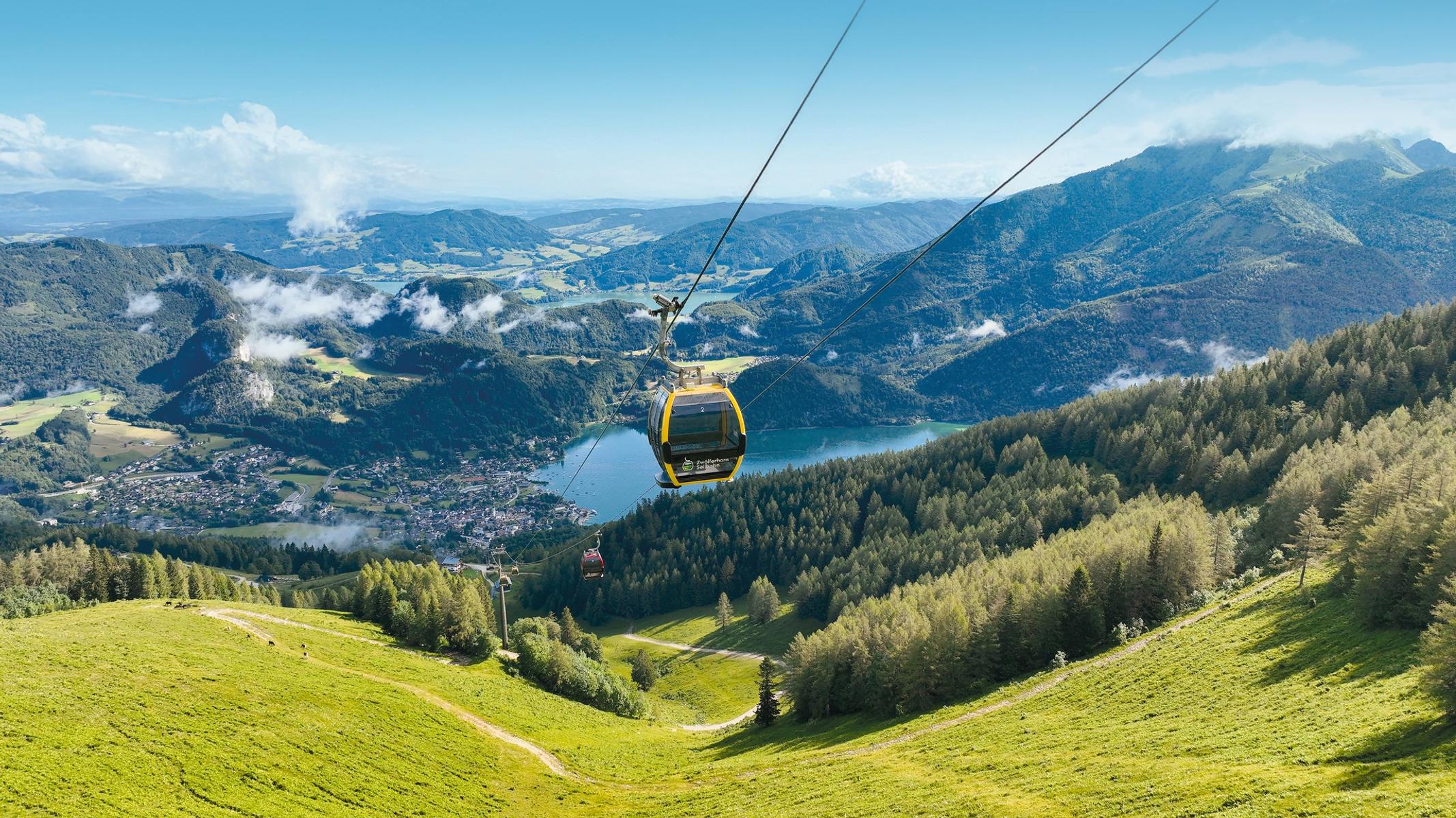
Zwölferhorn Seilbahn
6.5 km away, in Sankt Gilgen
The cable car from St. Gilgen to the Zwölferhorn, above the Wolfgangsee.
Falkensteinkirche
6.9 km away, in Sankt Gilgen
A church at Falkenstein on the wooded slope above the Wolfgangsee, on the pilgrims' path to St. Wolfgang.
Kapelle der Barmherzigkeit
8.2 km away, in Sankt Gilgen
A modern chapel at St. Gilgen with a stained-glass door designed by Annemarie Windhager and symbols of the works of mercy inside.
Leo Perutz Denkmal
8.3 km away, in Sankt Gilgen
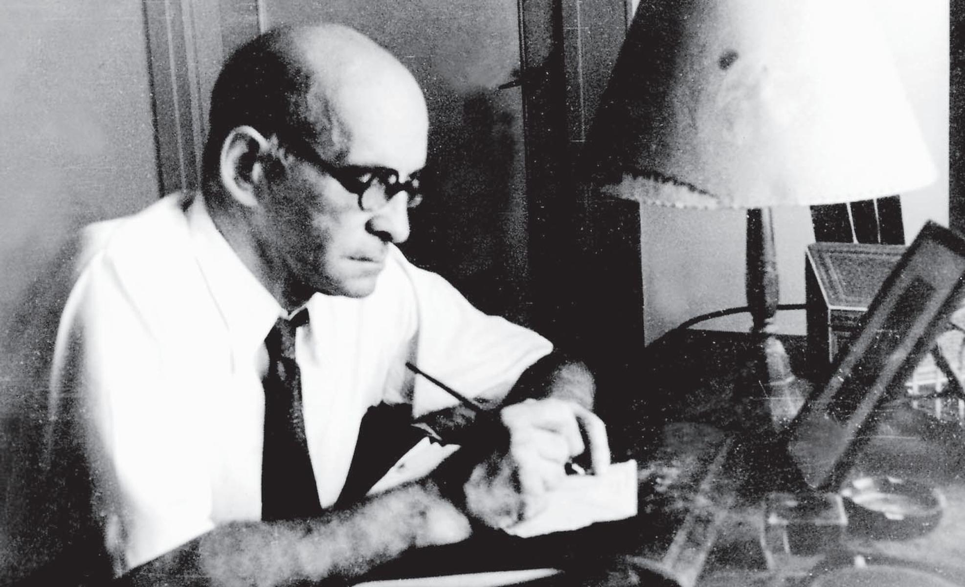
A monument in St. Gilgen to the Austrian novelist Leo Perutz, born in Prague in 1882 and buried at Bad Ischl.
 Cable car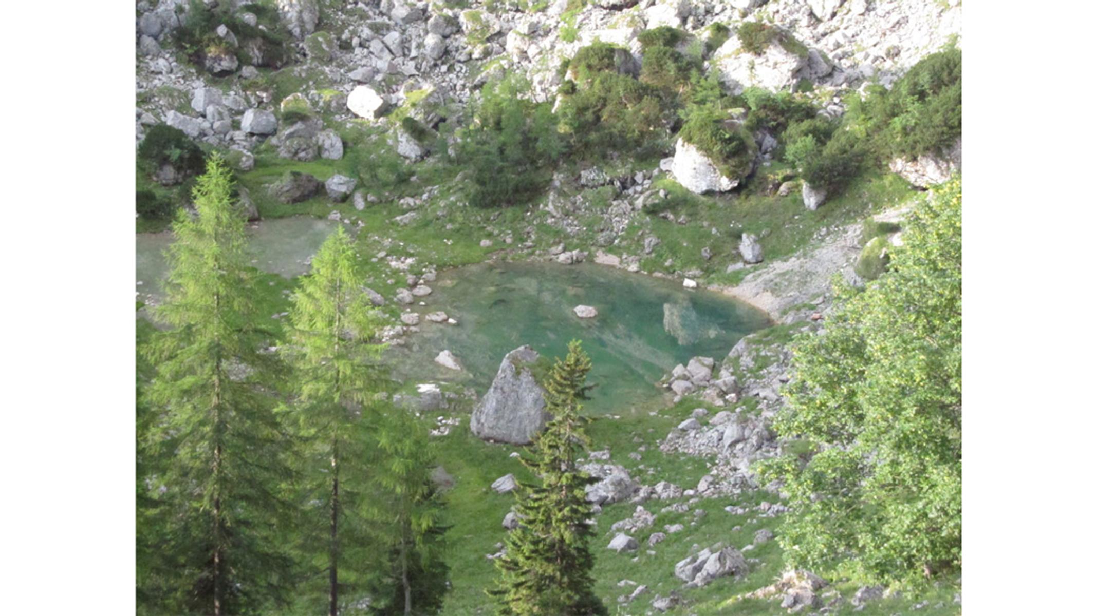

 Mountain hut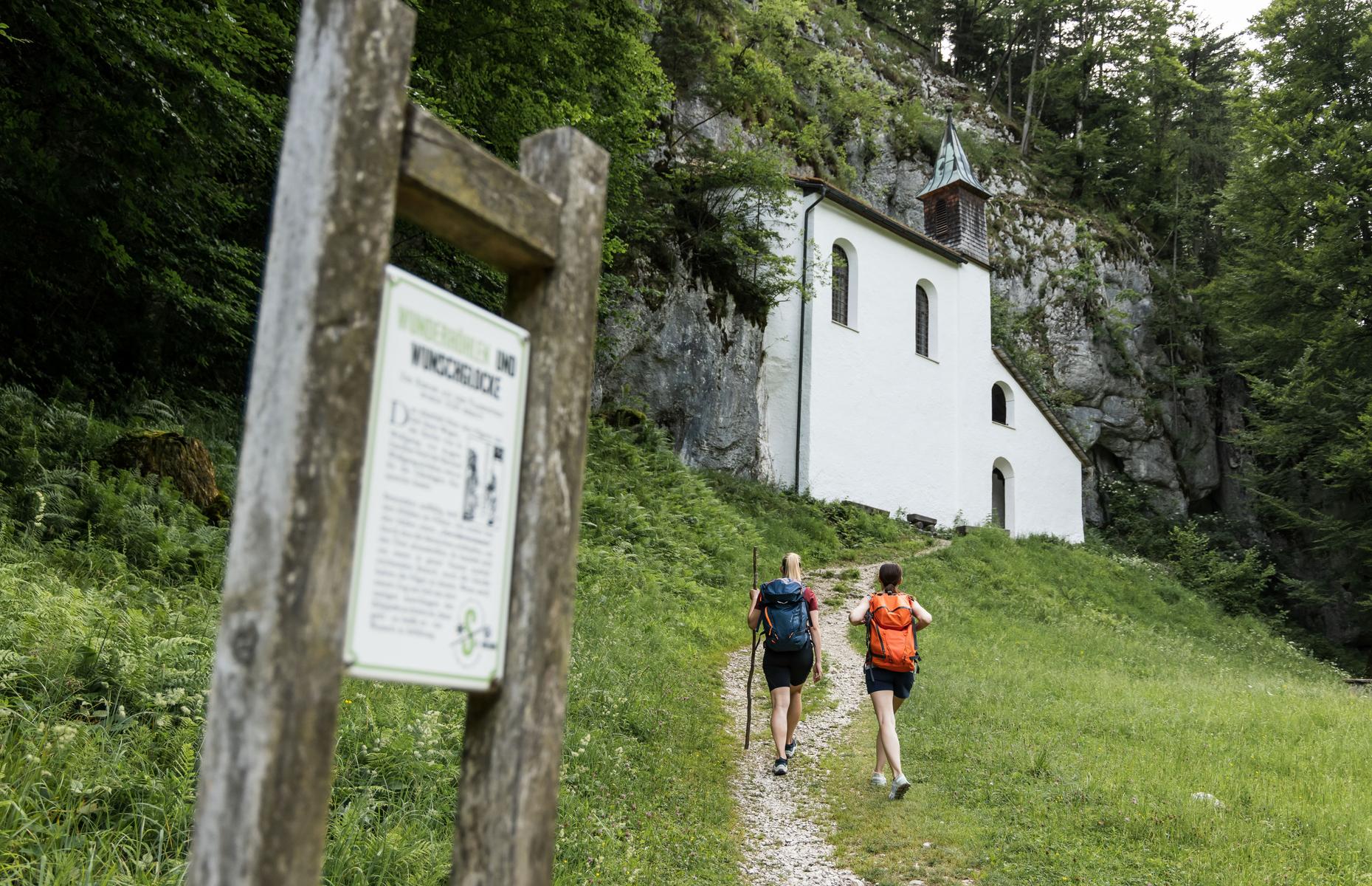
 Historic site
Nothing of this kind in Mondsee.
Routes
13 from neighbouring places
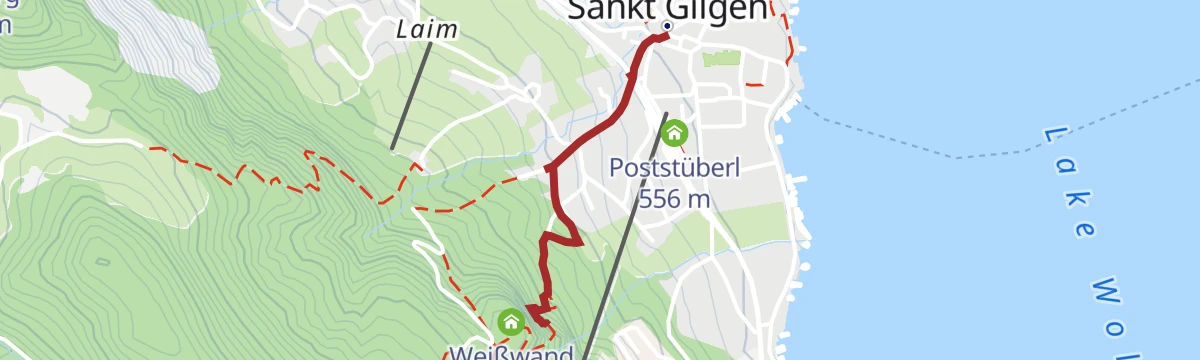
BergeSeen Trail 05: St. Gilgen
A varied stage on quiet farm and forest tracks with steep, rocky sections higher up, ending at Sankt Gilgen with a hut stop along the way.
- 13.9 km
- Distance
- 553 m
- Ascent
- 4 h 42 min
- Duration
Wolfgang-Pilgerweg-Fußweg-Etappe 10
A pilgrim stage walked on foot through the Mondsee country, long and gently rolling rather than steep at any point.
- 20.9 km
- Distance
- 256 m
- Ascent
- 5 h 33 min
- Duration
3-Seen Tour / Radmarathon Tour C
The shortest of the Mondsee five-lake marathon courses, laid out for road bikes in the Salzkammergut.
- 76.3 km
- Distance
- 862 m
- Ascent
- 7 h 35 min
- Duration
Wolfgang-Pilgerweg-Fußweg-Etappe 11
A long stage of the pilgrim way to St. Wolfgang, walked on foot through the hills of the Salzkammergut.
- 20.8 km
- Distance
- 468 m
- Ascent
- 5 h 58 min
- Duration
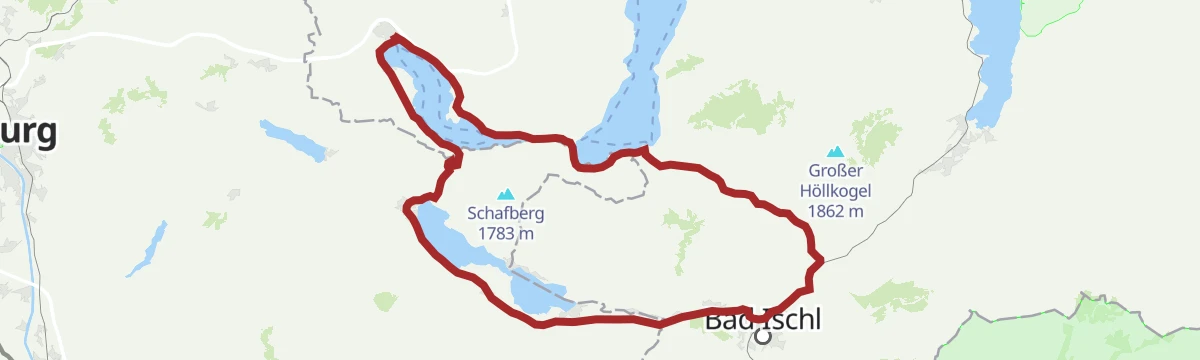
Attersee-Mondsee Variante
A long road variant linking the Attersee and the Mondsee, over a hundred kilometres round the two lakes.
- 104.0 km
- Distance
- 1 128 m
- Ascent
- 10 h 17 min
- Duration
Eddy Merckx Classic Radmarathon
A long road route through the Salzburg lake country around Fuschl am See, ridden as a marathon event distance.
- 62.7 km
- Distance
- 918 m
- Ascent
- 6 h 25 min
- Duration
Rennradtour "4-Seen-Tour"
A road tour linking four of the lakes of the Salzburg Seenland, with a good deal of climbing between one valley and the next.
- 74.7 km
- Distance
- 1 425 m
- Ascent
- 7 h 58 min
- Duration
Krottensee
4.4 km away, in Sankt Gilgen
A short and easy woodland walk to a small lake near Sankt Gilgen, with little more than two hundred metres of climbing.
- 5.7 km
- Distance
- 241 m
- Ascent
- 1 h 56 min
- Duration
Mountainbike-Strecke: Sausteigalmen
7.6 km away, in Faistenau
A climb on forest and farm roads out of Faistenau in the Fuschlsee area, rising towards the Zwölferhorn and the pastures below it.
- 13.0 km
- Distance
- 712 m
- Ascent
- 1 h 57 min
- Duration
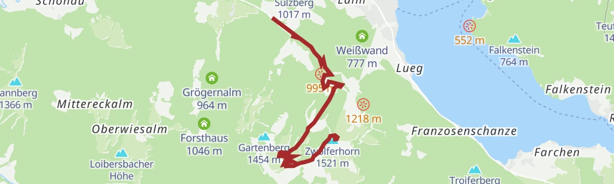
Skitour Zwölferhorn und Pillstein
7.6 km away, in Faistenau
A ski tour over two summits above Sankt Gilgen, well regarded in the Salzkammergut for its wide views and for the descent.
- 8.0 km
- Distance
- 757 m
- Ascent
- 757 m
- Descent
- 2 h 57 min
- Duration
BergeSeen 04 mit dem eMTB von Strobl über die Postalm nach Gosau
13.5 km away, in Strobl
A long BergeSeen stage from the centre of Strobl over the Postalm to Gosau, on sealed and unsealed roads with a swing through the Tennengau.
- 70.4 km
- Distance
- 1 890 m
- Ascent
- 8 h 2 min
- Duration
Über den Wasserfallweg zur Eisenauer Alm
4 km away, in Sankt Gilgen
A steep, varied climb from the shore of the Mondsee past a waterfall to a working dairy hut on the alp above the lake.
- 3.4 km
- Distance
- 530 m
- Ascent
- 2 h 3 min
- Duration
Drachenweg
2.1 km away, in St. Lorenz
A long circuit around the Drachenwand and the ruined castle of Wartenfels above the Mondsee, in the Salzkammergut.
- 17.3 km
- Distance
- 990 m
- Ascent
- 6 h 57 min
- Duration
Die 3-Seentour
6.3 km away, in Sankt Gilgen
A gravel route along the shores of three Salzkammergut lakes, the Wolfgangsee, Attersee and Mondsee.
- 63.4 km
- Distance
- 609 m
- Ascent
- 6 h 12 min
- Duration
Fürberg Runde
6.3 km away, in Sankt Gilgen
A short and almost level loop by the Wolfgangsee near Fürberg, with barely any climbing from end to end.
- 6.0 km
- Distance
- 140 m
- Ascent
- 1 h 45 min
- Duration
Mountainbike-Strecke: Sonnberg
12.4 km away, in Faistenau
A short and very steep climb on the Sonnberg above Faistenau, in the hills of the Salzburg Flachgau, with some 700 m of ascent.
- 32.5 km
- Distance
- 747 m
- Ascent
- 3 h 35 min
- Duration
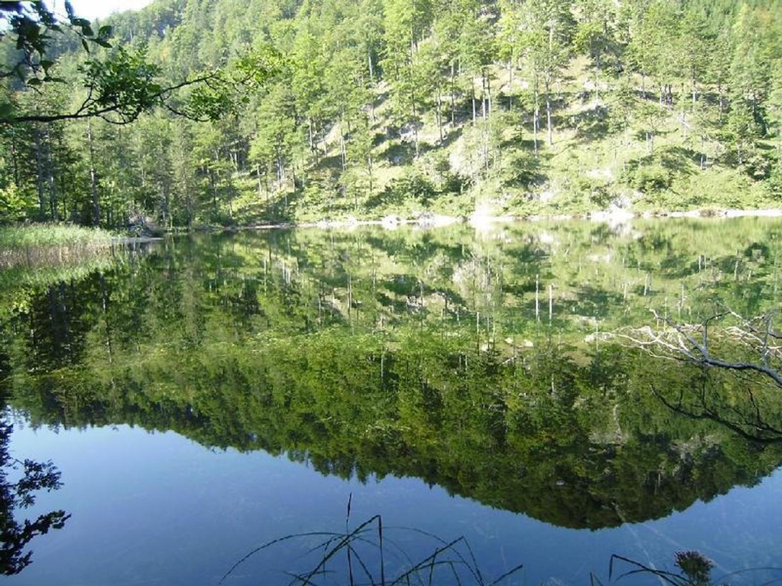
Zum Eibensee
6.2 km away, in Sankt Gilgen
A woodland climb to a quiet mountain lake in the hills above the Mondsee, some four hundred metres above the valley floor.
- 8.2 km
- Distance
- 436 m
- Ascent
- 3 h 8 min
- Duration
12erHornTrail
5.9 km away, in Sankt Gilgen
A long and steep route onto the Zwölferhorn, the mountain that rises straight above Sankt Gilgen and the Wolfgangsee.
- 16.9 km
- Distance
- 1 180 m
- Ascent
- 7 h 51 min
- Duration
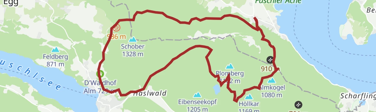
Die Fuschlerin
6.3 km away, in Sankt Gilgen
A gravel round to the Fuschlsee and right around the Zwölferhorn, through alm and woodland country.
- 36.3 km
- Distance
- 1 183 m
- Ascent
- 4 h 20 min
- Duration
Nora- oder Margarethenhöhe
6.3 km away, in Sankt Gilgen
A very short walk up to a small height above Sankt Gilgen, gaining little more than a hundred metres over a kilometre and a half.
- 1.6 km
- Distance
- 127 m
- Ascent
- 44 min
- Duration







No routes of this kind in Mondsee yet.
Planning a trip to Mondsee?
Everything else Upper Austria has, in one place


Take Mondsee with you into the mountains
Every route on this page with 3D terrain, GPX navigation and offline maps — including the valleys with no signal.
Data sources
- Official website: wolfgangsee.salzkammergut.at ↗
- Routes and highlights: Salzkammergut
- Published as open data by the tourist boards named above.
- Region summary generated from the board's own material.
